Between 1946 and 1952, a number of projects were undertaken to rebuild U.S. 60, with the most notable ones between Superior and Miami / Globe. Over 144 miles were rebuilt during this time frame. Many of these old alignments are still visible, due to the dry desert air and ADOT's policy during the post-World War II era of building completely new alignments rather than widening old ones.
The original 1922 alignment of U.S. 60, and the 1949 reroute of the road at Pinto Wash.
|
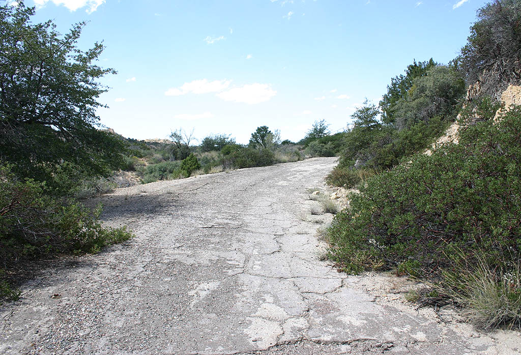
| This short section of former U.S. 60 profiled here was abandoned in 1949, after the construction of the Pinto Wash arch bridge. This road was still drivable for many years, but is no longer drivable. 09/22/08 |
|
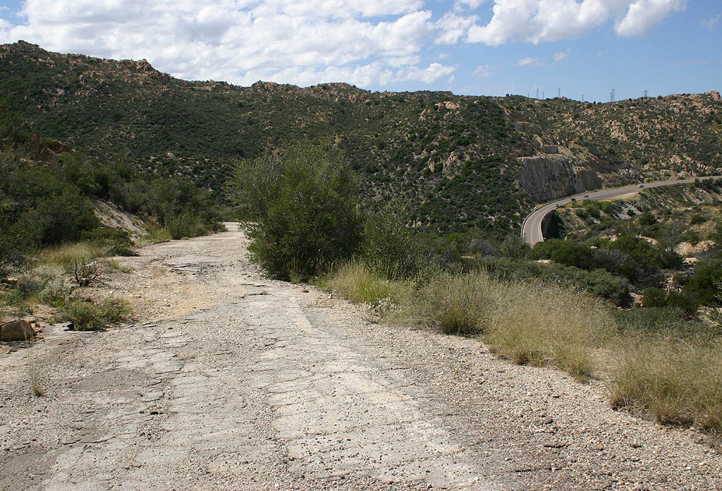
| The old road travels above the present-day alignment. Several washouts have occurred in old culverts where the road cuts were made. 09/22/08 |
|
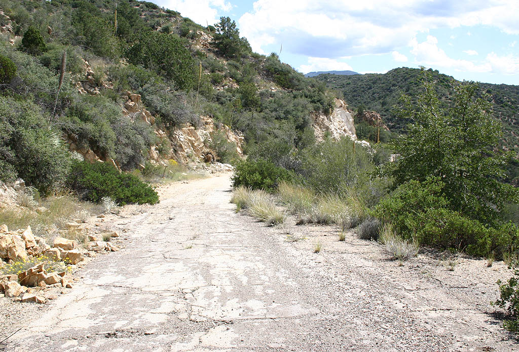
| Several road cuts for the realignment of U.S. 60 were made adjacent to the old roadway. 09/22/08 |
|
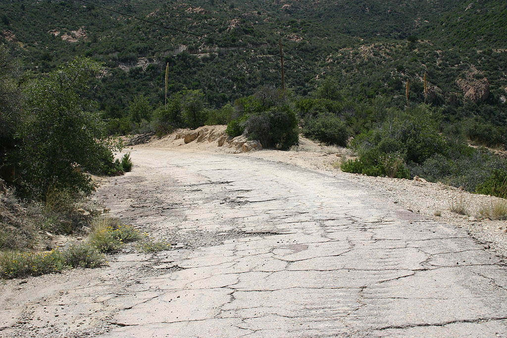
| Vegetation growth along the old roadbed of U.S. 60. 09/22/08 |
|
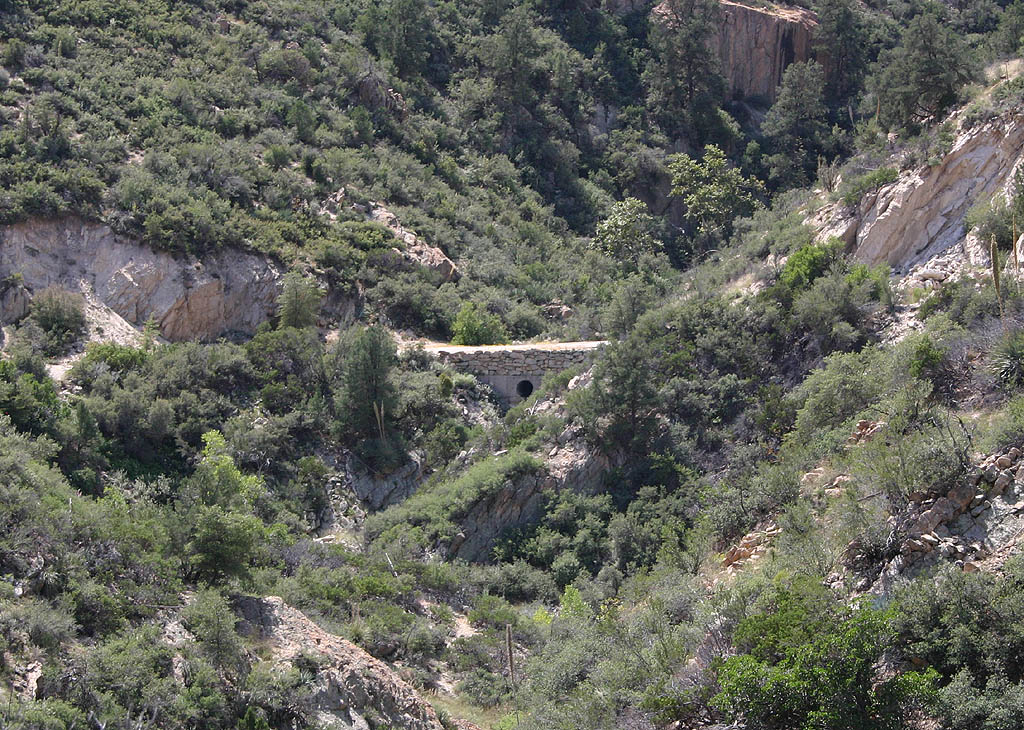
| The present-day Pinto Wash bridge in relation to the 1922 road. 09/22/08 |
|
| The old road turns south to enter Pinto Wash canyon, making a gradual descent to a low crossing of the wash, unlike the high bridge in place on the realignment of U.S. 60. 09/22/08 |
|
| Blind curves and a narrow width of 22 feet before overgrowth were reasons why U.S. 60 at Pinto Wash was rerouted. 09/22/08 |
|
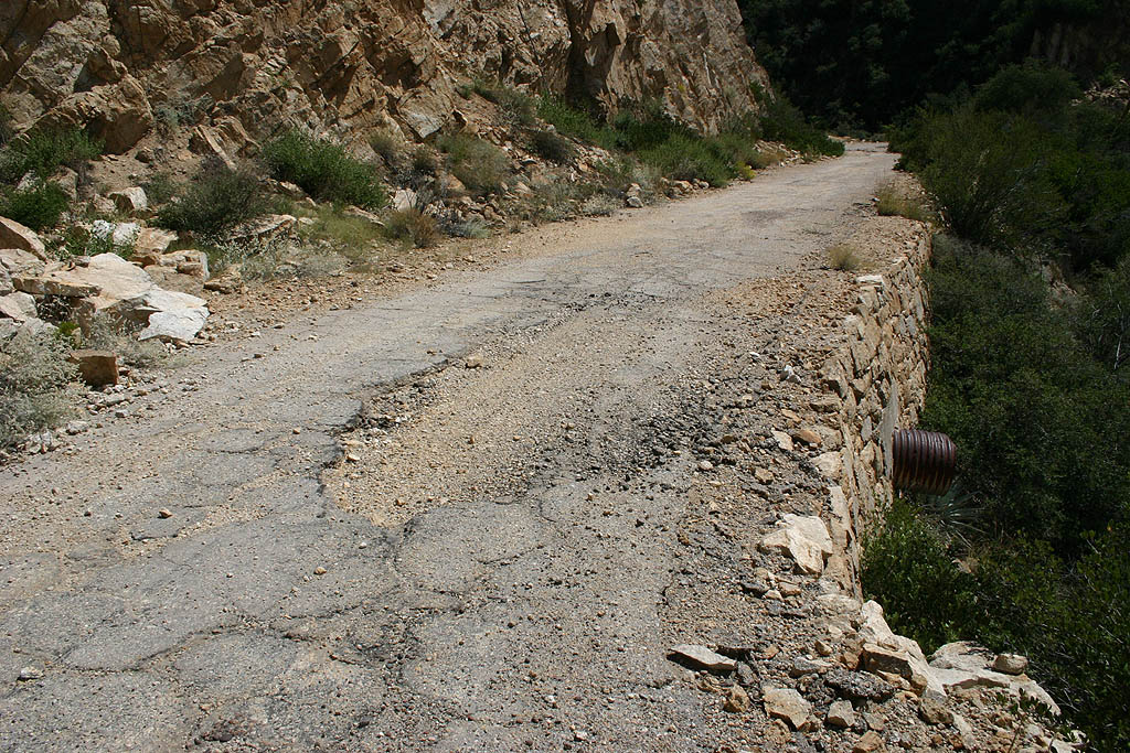
| Original dry rock walls, which amazingly enough are still holding, after decades of no maintenance and over 80 years after construction. 09/22/08 |
|
| The old road crosses a side canyon on fill, then turns back west toward Pinto Wash proper. 09/22/08 |
|
| Looking south into the canyon at the low culvert and rock wall that crosses Pinto Wash. 09/22/08 |
|
| The low road cuts can be seen in the canyon walls. 09/22/08 |
|
| Rock slides reclaimed portions of the old road. 09/22/08 |
|
| Banked curves that were common on roads from this time frame. 09/22/08 |
|
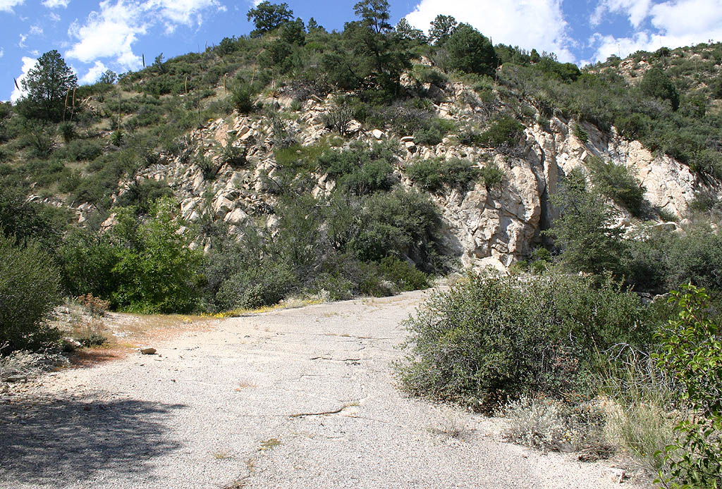
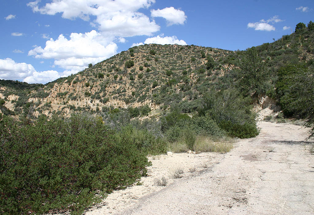
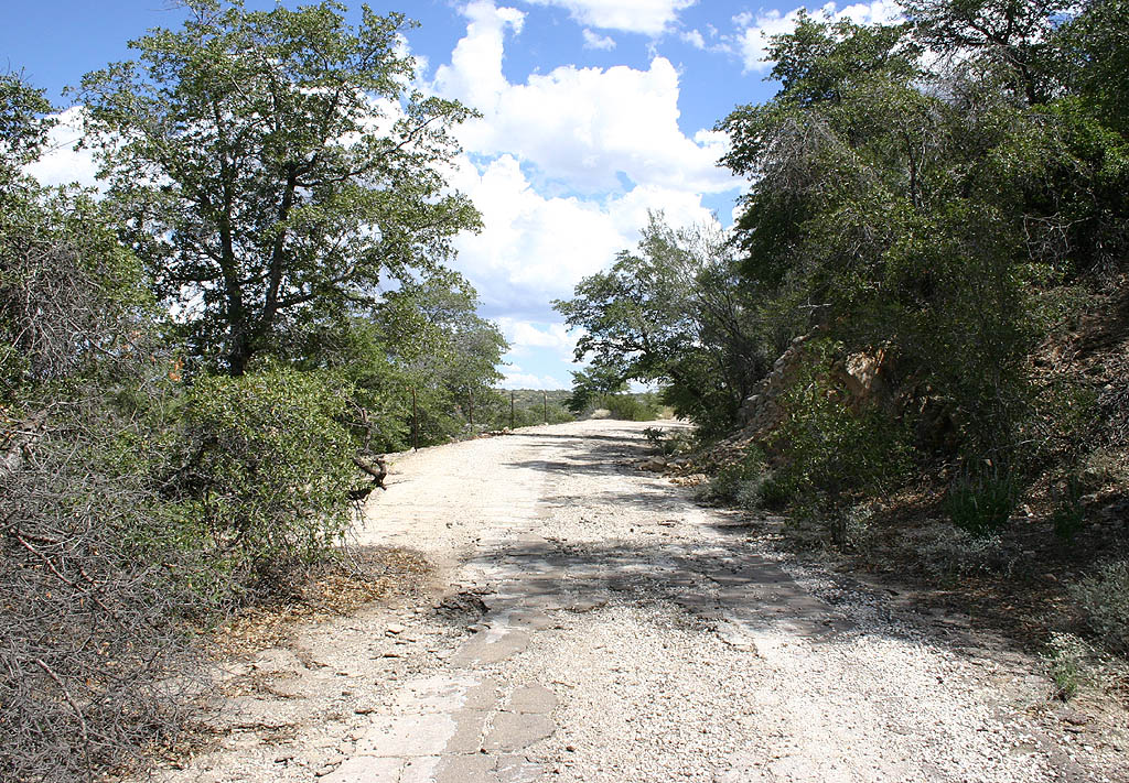
| Old U.S. 60 matched the area topography more closely than later alignments do. 09/22/08 |
|
| Looking across Pinto Wash at retaining walls and the abandoned highway. 09/22/08 |
|
| Overgrowth renders the abandoned road only passable by foot or bicycle. 09/22/08 |
|
| The faded white center line, probably dating back to the late 1940s, remained on portions of the old road. 09/22/08 |
|
| This view, looking along one of the retaining walls, shows the present-day road in the background and the old road in the foreground. 09/22/08 |
|
| This blind curve leads out of Pinto Wash canyon, heading east towards Miami. 09/22/08 |
|
| Looking across Pinto Wash at the roadbed on the far side of the canyon. 09/22/08 |
|
| Another sharp curve along the 1948 roadway. 09/22/08 |
|
| This view looks down on the modern Pinto Wash bridge. 09/22/08 |
|
| Former U.S. 60 turns east along a hillside overlooking U.S. 60. 09/22/08 |
|
| While this road was drivable for many years, erosion has taken a toll. 09/22/08 |
|
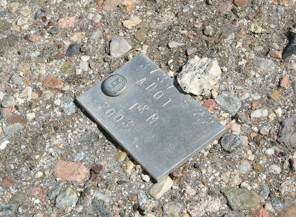
| This ADOT right of way marker is in the middle of the old roadway for U.S. 60. 09/22/08 |
|
| The correlation between old U.S. 60 and the present-day road. 09/22/08 |
|
| This is the last washout before reaching FS349, and the first washout that makes this old road impassable. 09/22/08 |
|
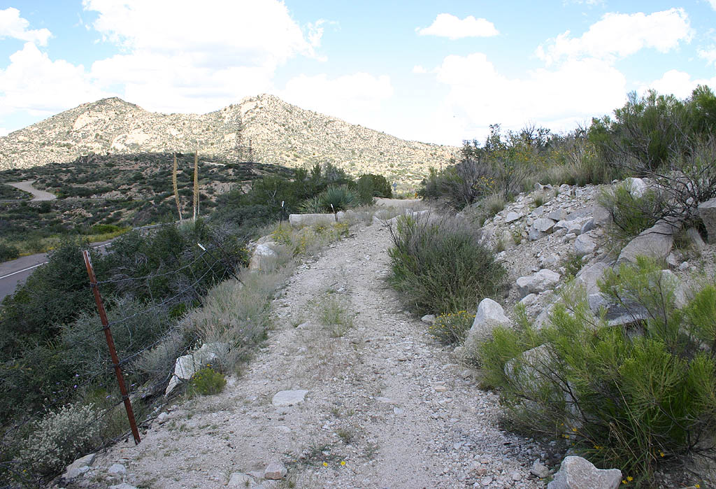
| This is where the old road meets FS349 and heads down to the present-day alignment of U.S. 60. 09/22/08 |
Page Updated 10-19-2008.