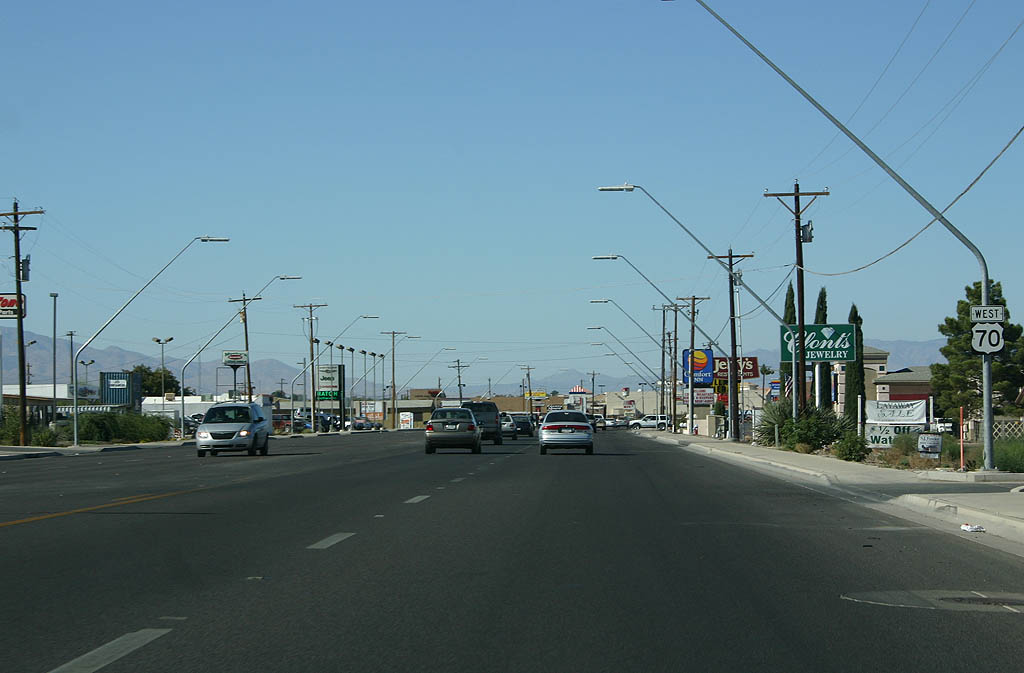
Joining Globe with Safford and Duncan, U.S. 70 is a primary corridor through southeastern Arizona. The highway travels east from Gila County to Peridot and the into Graham County across the San Carlos River. Continuing southeast into the Gila Valley, U.S. 70 heads to Pima, Thatcher and Safford.
U.S. 70 overlaps with U.S. 191 east from outside Downtown Safford 10.06 miles to Solomon and Gripe. Traversing the Peloncillo Mountains, U.S. 70 emerges at the town of Duncan, where it turns south to Franklin en route to Lordsburg, New Mexico.
U.S. 70 Arizona Guides
The first iteration of U.S. 70 traveled along the route of today's U.S. 180, from Holbrook east to St. Johns and New Mexico. That route was renumbered to U.S. 260 in 1932.
The second alignment of U.S. 70 was established in 1935. This route started in Blythe, co-signed with U.S. 60, then followed U.S. 60 to Globe, where it split onto an independent alignment. From Globe, U.S. 70 traveled southeast to Coolidge Dam and Safford and then east to Duncan and into New Mexico.
U.S. 70 was realigned away from Coolidge Dam in 1957. In time, the alignment was straightened between the dam and Safford. U.S. 70 was eventually truncated at Globe in 1969.
|
| U.S. 70 east converges with U.S. 191 north in Safford. 11/11/07 |
|
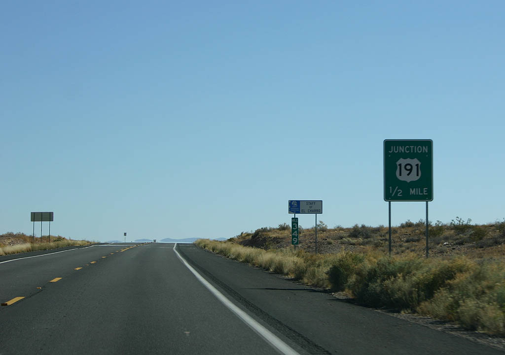
| U.S. 191 travels south to Interstate 10 near Bowie and north alongside U.S. 70 toward Clifton and Morenci. 11/11/07 |
|
| U.S. 70/191 (5th Street) gradually turn south through the east end of the Safford business district. 11/11/07 |
|
| Bee ling east from the railroad siding of Lone Star, U.S. 70/191 (Old
West Highway) reach the community of Solomon. Solomon was the railroad station for Solomonville, shortened to save time on the Teletype. 11/11/07 |
|
| San Jose Road angles northeast along old US 70 toward Arizona State
Prison - Safford. 11/11/07 |
|
| U.S. 70 is the primary route along the signed overlap with U.S. 191, with mileposts based upon it. 11/11/07 |
|
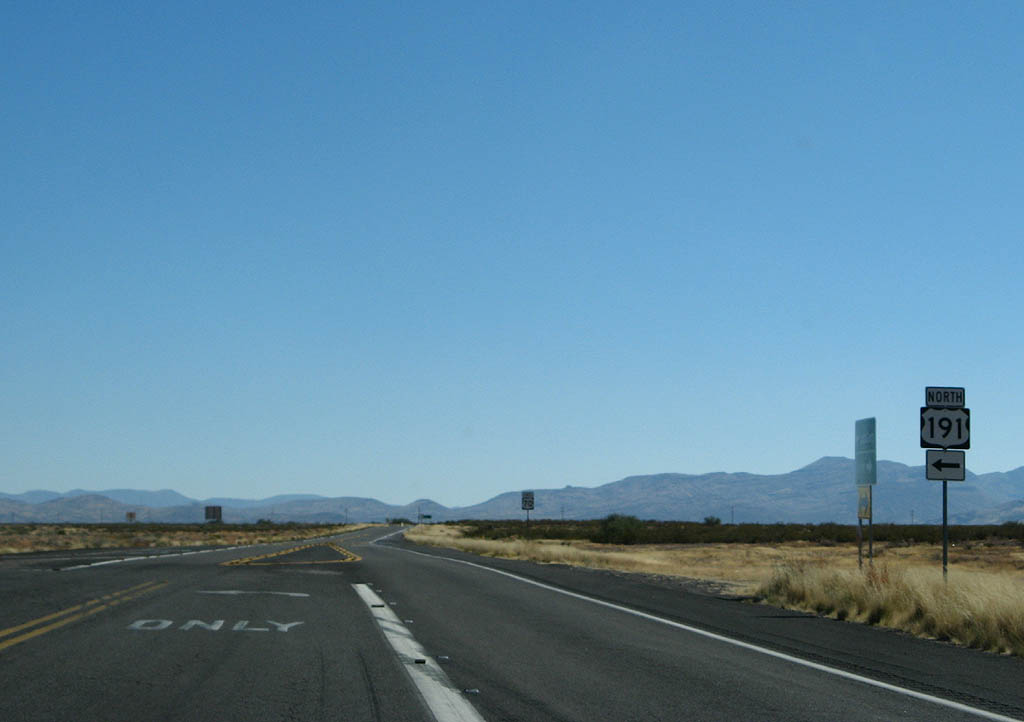
| U.S. 191 branches northward from U.S. 70 to Tollgate Canyon across the Peloncillo Mountains en route to Clifton and Morenci. 11/11/07 |
|
| U.S. 70 winds southeast from U.S. 191 across the Peloncillo Mountains to Lordsburg Mesa and Lordsburg, New Mexico. 11/11/07 |
|
| U.S. 70 and U.S. 191 separate in a remote area near Judia Canyon. 11/11/07 |
|
| U.S. 70 advances west from U.S. 191 along 5th Street through Downtown Safford. 04/25/17 |
|
| U.S. 70 shifts north from 5th Street onto Thatcher Boulevard west from 8th Avenue. 11/11/07 |
|
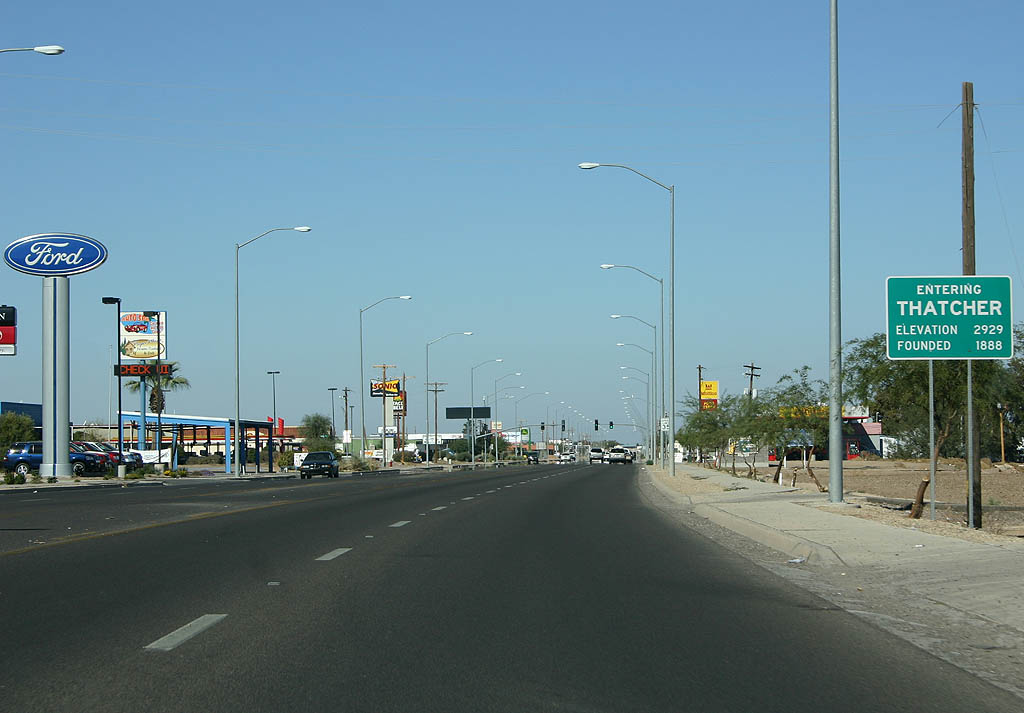
| U.S. 70 west leaves Safford and enters the town of Thatcher. Thatcher was established as a Mormon community in 1881 and named after Apostle Moses Thatcher. 11/11/07 |
|
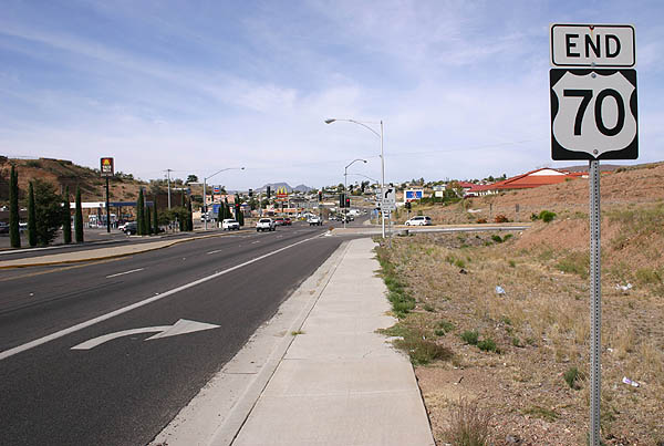
| U.S. 70 west concludes at U.S. 60/SR 77 in Globe. 11/11/06 |
|
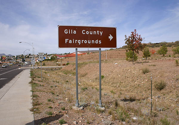
| SR 77 turns north from U.S. 70 west onto U.S. 60 northeast ahead of the Gila County Fairgrounds. 11/11/06 |
|
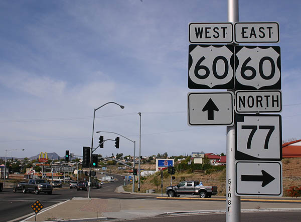
| The former transcontinental route of U.S. 70 ends at U.S. 60/SR 77. 11/11/06 |
|
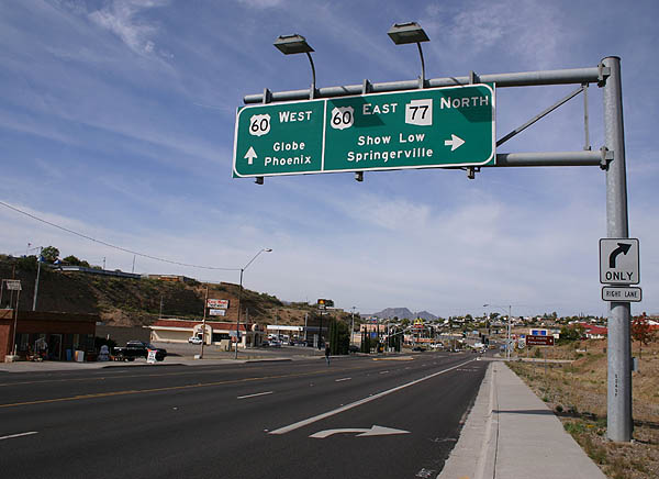
| U.S. 60 continues west though Globe, Claypool and Miami toward Phoenix. U.S. 60/SR 77 travel 84 miles northeast to Show Low. 11/11/06 |
Photo Credits:- 11/11/06 by Kevin Trinkle.
- 11/11/07 by Kevin Trinkle.
- 04/25/17 by AARoads.
Connect with:
U.S. 60
U.S. 191
State Route 77
Page Updated 04-29-2022.


 East
East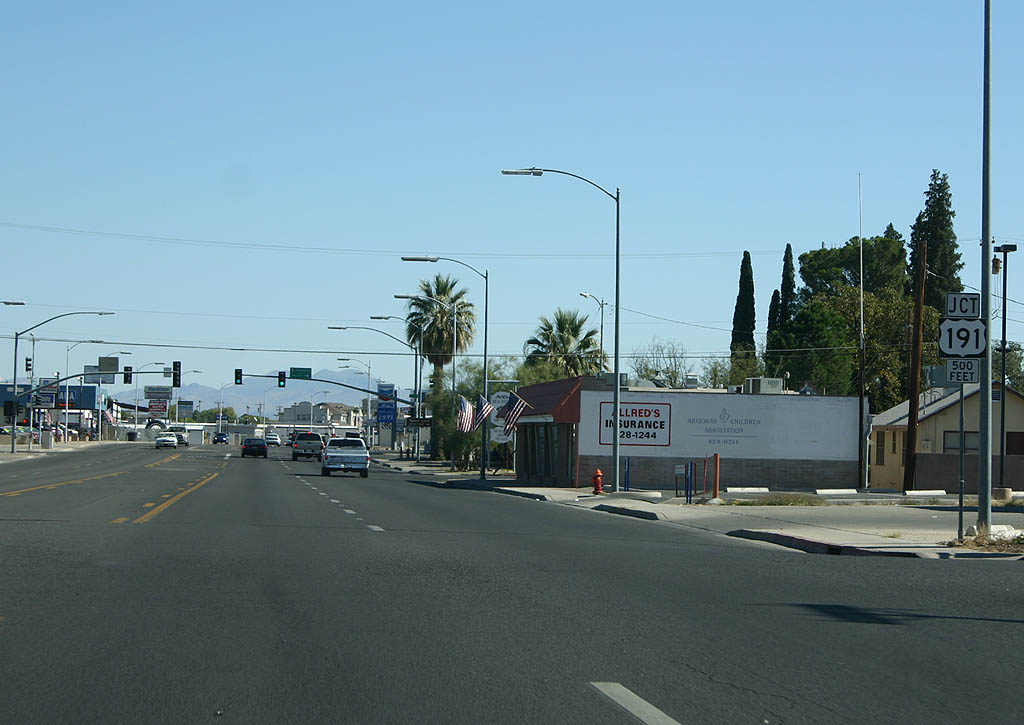

 North
North