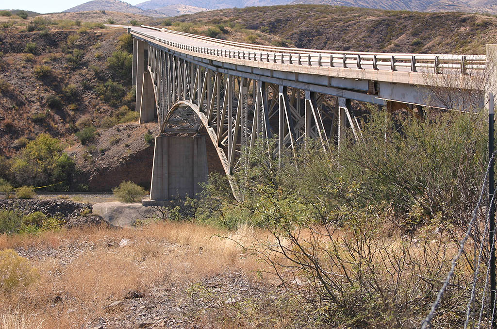
Similar to many steel arch bridges from the period in Arizona, the previous Gila River Bridge along U.S. 191 was constructed in 1950. The span was 707 feet long.
U.S. 191 leading into Three-Way in Greenlee County was realigned onto a new wider bridge across the Gila River. The $27.7 million project eliminated a blind curve along U.S. 191 and demolished the old span. Work started in October 2007.1
|
| The northbound beginning of U.S. 191 from SR 80 west of Douglas. 05/24/03 |
|
| The lone state route intersecting U.S. 191 between Douglas and I-10 is SR 181. SR 181 leads east through Sunizona and north to SR 86 outside Chiricahua National Monument. 05/24/03 |
|
| One half mile ahead of the trumpet interchange joining U.S. 191 with Interstate 10 west of Wilcox. 05/24/03 |
|
| U.S. 191 combines with I-10 east for 20.4 miles. Interstate 10 west makes a gradual arc to Tuscon via Benson. 05/24/03 |
|
| U.S. 191 parts ways with Interstate 10 east at Exit 352. 01/13/06 |
|
| U.S. 191 continues north from I-10 to Safford, Clifton and Eagar. 01/13/06 |
|
| The east split of U.S. 191 with I-10 is a diamond interchange. 11/11/07 |
|
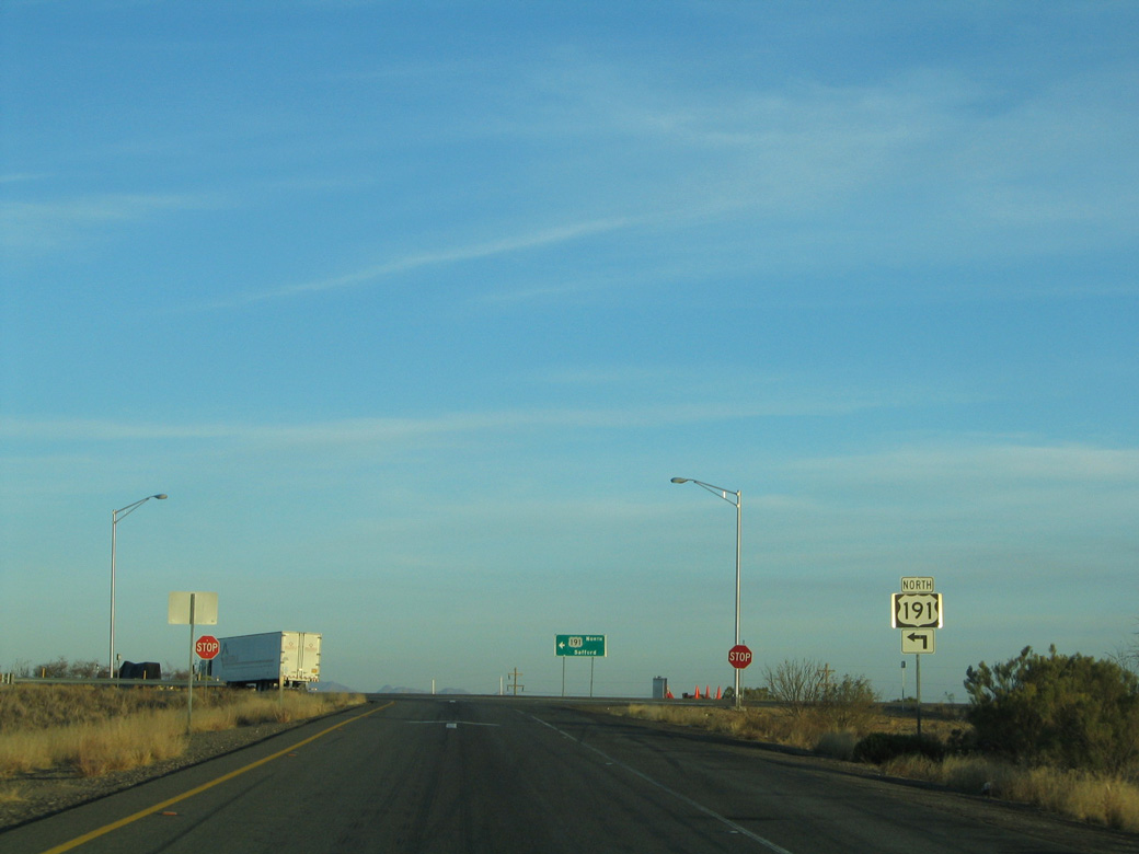
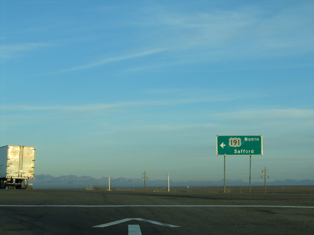
| Leading away from I-10, U.S. 191 advances 16 miles north to SR 266 and 30 miles to Safford. 11/11/07 |
|
| U.S. 191 converges with U.S. 191Y (Page Ranch Road) 2.5 miles north of Interstate 10. U.S. 191Y comprises a cutoff to I-10 east and Bowie along a former section of SR 86. 11/11/07 |
|
| U.S. 191 was expanded to a divided highway north from Interstate 10 to Clifton. 11/11/07 |
|
| Reassurance marker posted along a former section of two lane U.S. 191 between the Pinaleno Mountains and Fisher Hills. 11/11/07 |
|
| U.S. 191 travels north along the San Simon Valley en route to Safford. 11/11/07 |
|
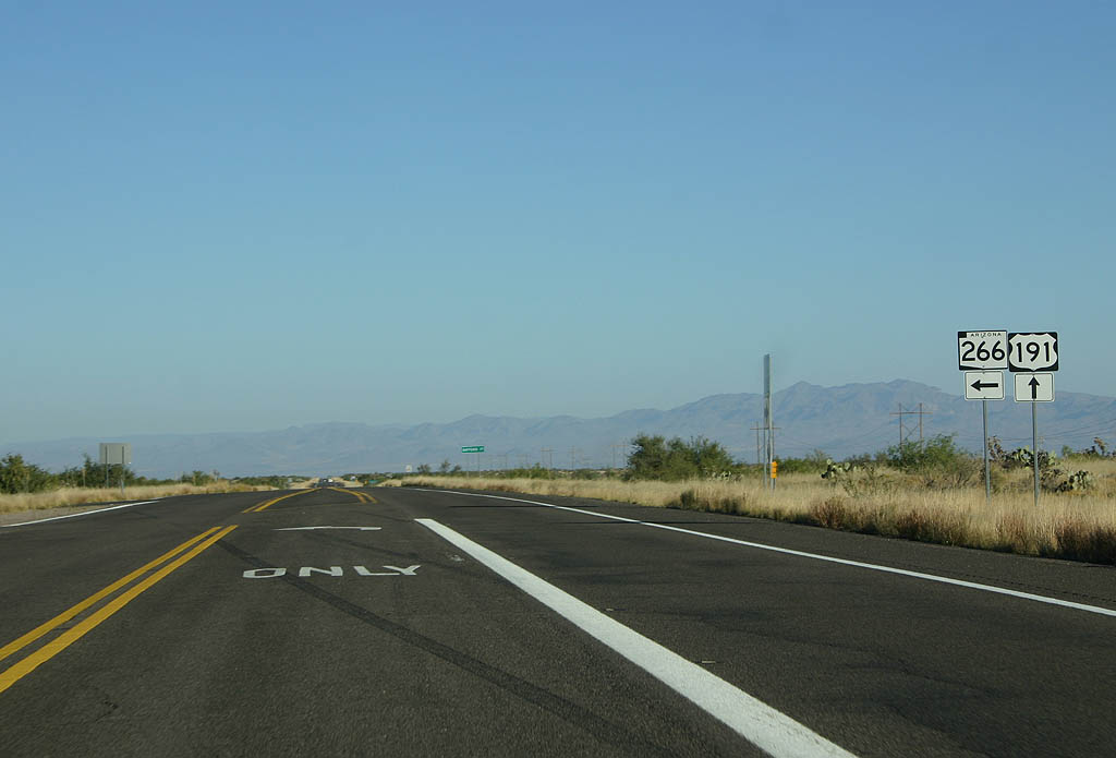
| U.S. 191 north at SR 266. SR 266 and SR 366 were numbered based upon U.S. 666, the predecessor to U.S. 191 along this stretch. 11/11/07 |
|
| SR 266 winds across the Pinaleno Mountains to Fort Grant and Bonita. 11/11/07 |
|
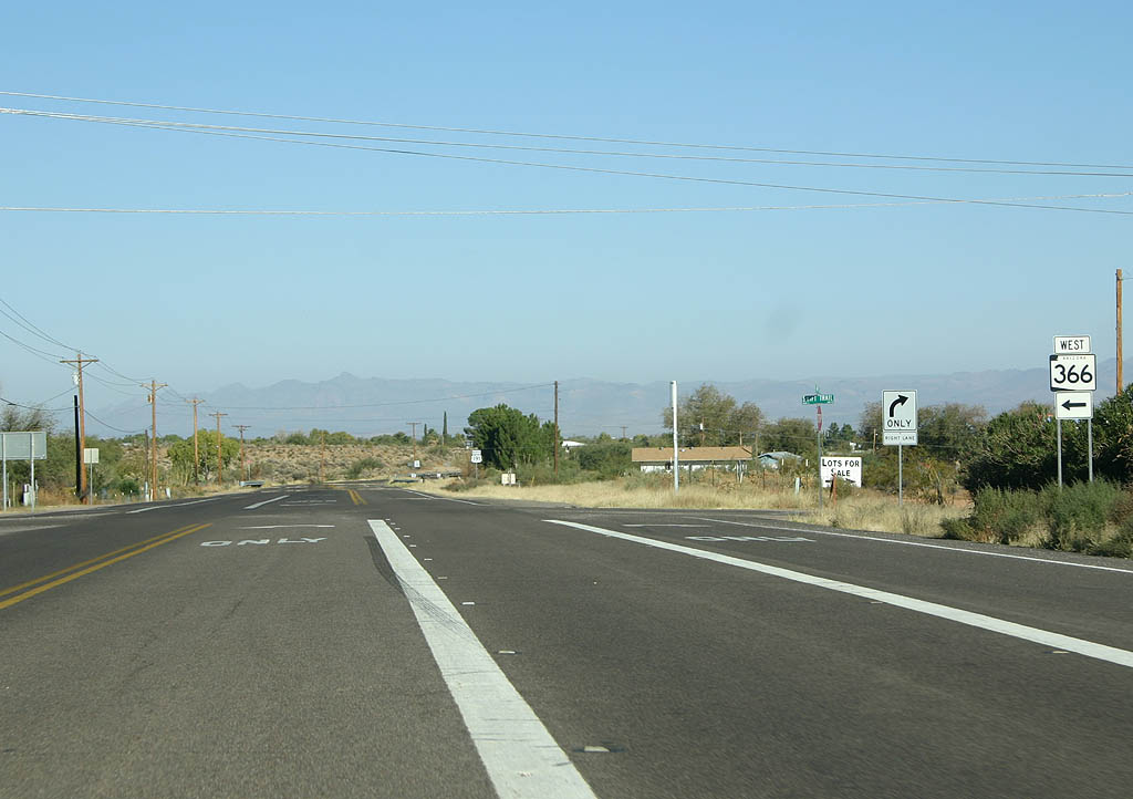
| SR 366 east and Swift Trail Road come together at U.S. 191 at Swift Trail Junction in a half mile. 11/11/07 |
|
| Arizona State Route 366 is a spur from U.S. 191 that leads into the Coronado National Forest and the Mount Graham International Observatory, adjacent to nearby Mount Graham (elevation 10,720 feet). 11/11/07 |
|
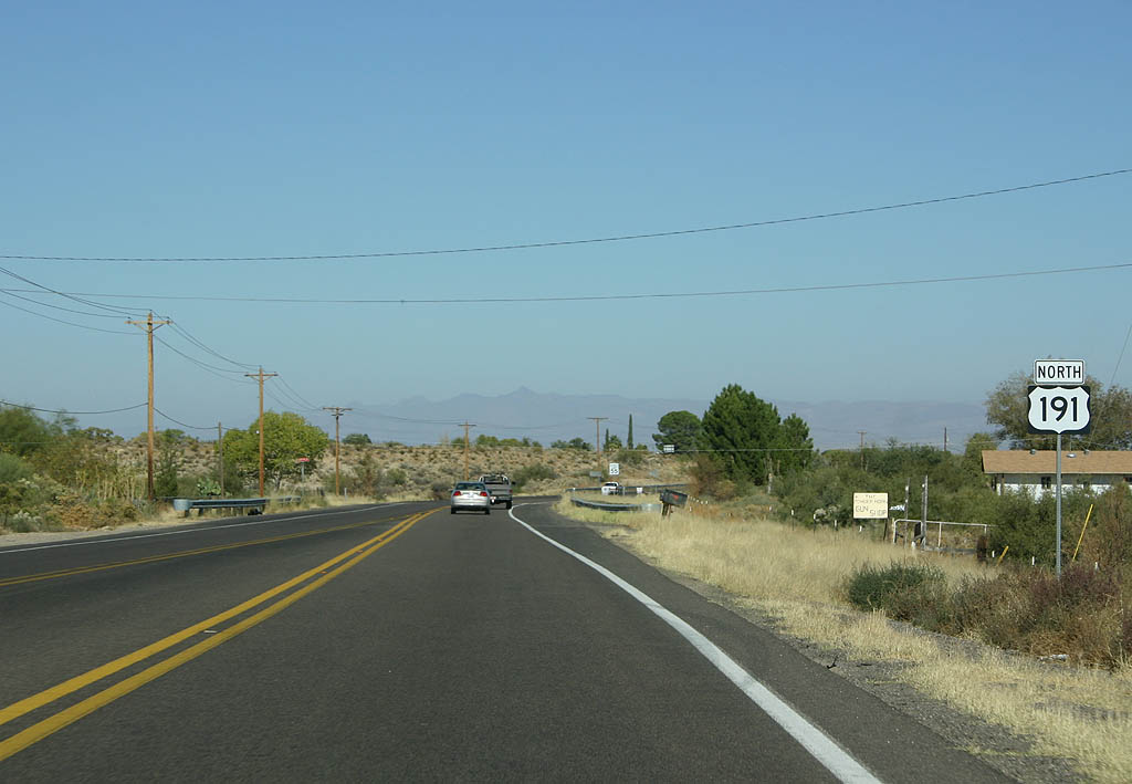
| Progressing north from Swift Trail Junction, U.S. 191 continues seven miles to U.S. 70 at Safford. 11/11/07 |
|
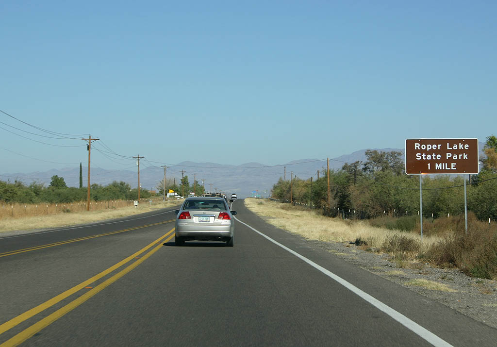
| Roper Lake State Park lies one mile north of Octoilla Street via U.S. 191. The park is known for the spring-fed soaking tub, as well as Roper Lake which is stocked for fishing. 11/11/07 |
|
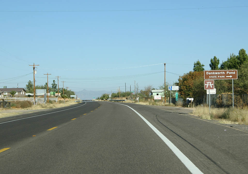
| Roper Lake Road stems east from U.S. 191 to Roper Lake State Park. Located within the park is Dankworth Pond, a man-made pond originally
created to raise catfish. 11/11/07 |
|
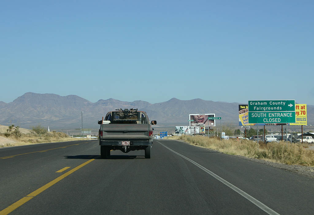
| Old Country Club Road stems east from U.S. 191 to the Graham County Fairgrounds. 11/11/07 |
|
| Crossing Highline Canal, U.S> 191 lowers into the city of Safford. 11/11/07 |
|
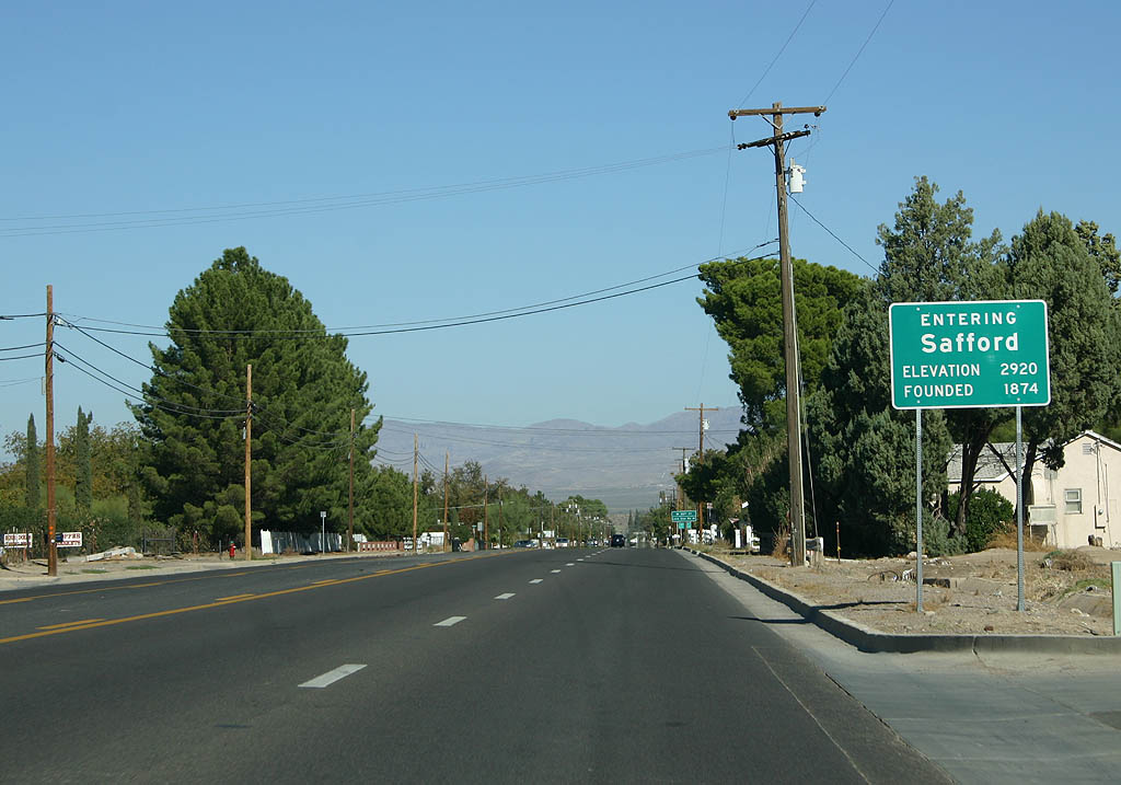
| Safford is the county seat of Graham County. Named for former Territorial Governor Safford, Safford was established in 1872 by settlers from the Gila Bend area. 11/11/07 |
|
| U.S. 191 (1st Avenue) combines with U.S. 70 (5th Street) outside Downtown Safford. U.S. 70 leads northwest from Safford to Thatcher and Globe, where
it ends at U.S. 60. 11/11/07 |
|
| U.S. 70/191 overlap ten miles through eastern reaches of Gila Valley. 11/11/07 |
|
| U.S. 70/191 (5th Street) gradually turn south through the east end of the Safford business district. 11/11/07 |
|
| Bee ling east from the railroad siding of Lone Star, U.S. 70/191 (Old
West Highway) reach the community of Solomon. Solomon was the railroad station for Solomonville, shortened to save time on the Teletype. 11/11/07 |
|
| San Jose Road angles northeast along old US 70 toward Arizona State
Prison - Safford. 11/11/07 |
|
| U.S. 70 is the primary route along the signed overlap with U.S. 191, with mileposts based upon it. 11/11/07 |
|
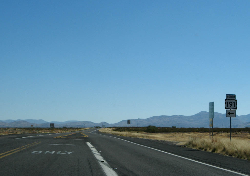
| U.S. 191 branches northward from U.S. 70 to Tollgate Canyon across the Peloncillo Mountains en route to Clifton and Morenci. 11/11/07 |
|
| U.S. 70 winds southeast from U.S. 191 across the Peloncillo Mountains to Lordsburg Mesa and Lordsburg, New Mexico. 11/11/07 |
|
| U.S. 70 and U.S. 191 separate in a remote area near Judia Canyon. 11/11/07 |
|
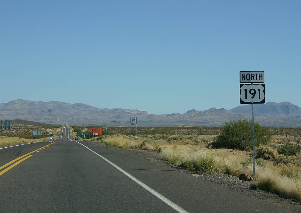
| Confirming marker for U.S. 191 north, posted between U.S. 70 and San Jose Wash. 11/11/07 |
|
| U.S. 191 travels 34 miles from U.S. 70 to Clifton and 147 miles to Springerville. 11/11/07 |
|
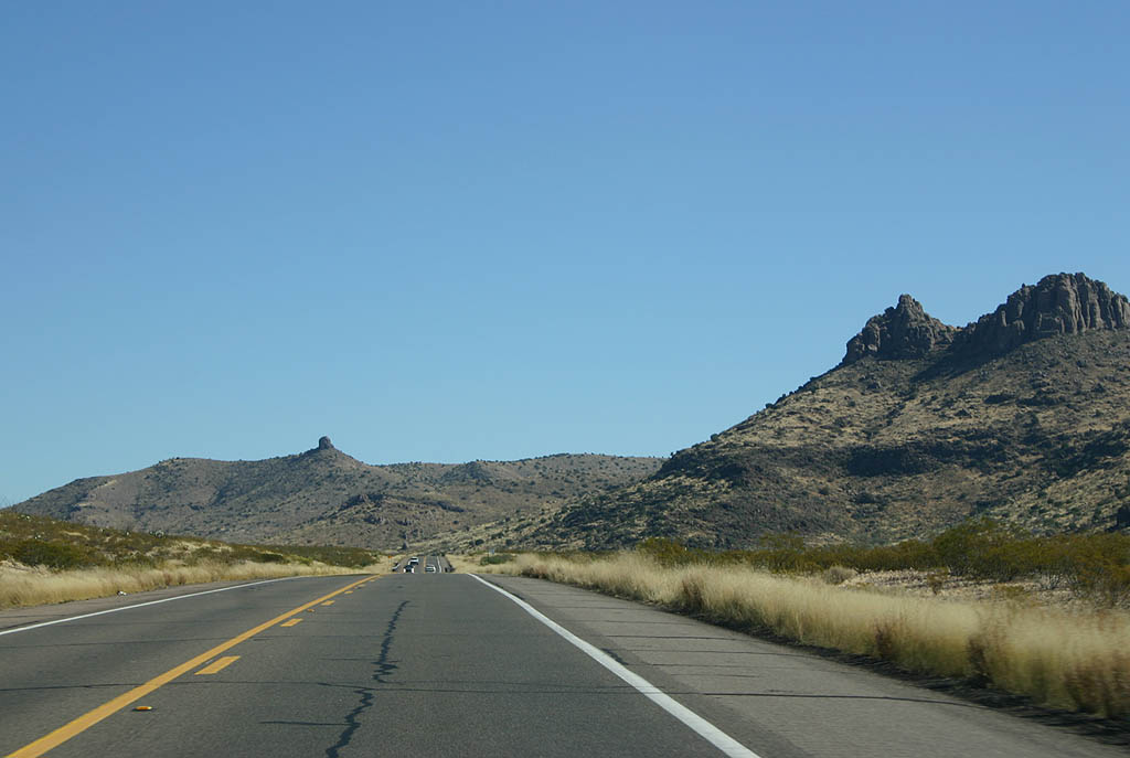
| U.S. 191 crosses over several washes before entering the distant Black Hills. 11/11/07 |
|
| U.S. 191 northbound at mile marker 139. Just ahead is the turnoff for the Black Hills Back Country Byway, which is the 1914 alignment of what later became U.S. 666 between Safford and Clifton. 11/11/07 |
|
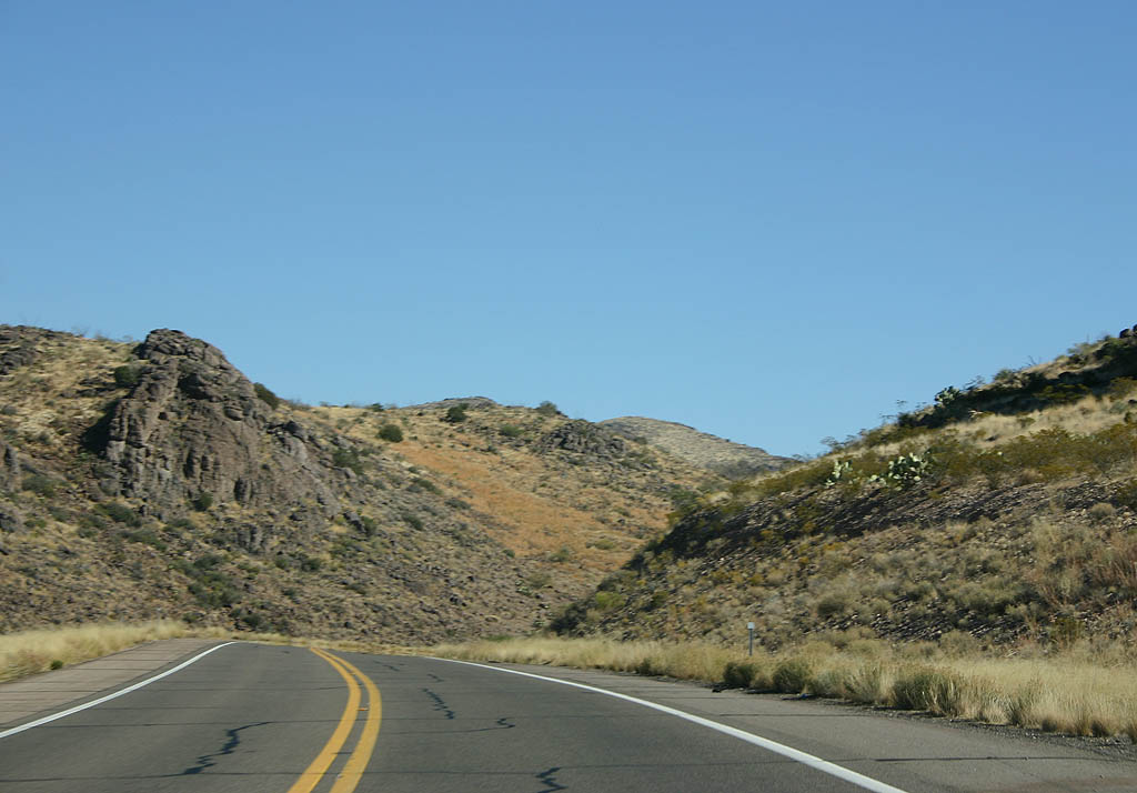
| Gaining elevation between the Black Hills and Peloncillo Mountains, U.S. 191 winds through the colorfully named Deadman Canyon. 11/11/07 |
|
| U.S. 191 navigates through Tollgate Canyon beyond Deadman Canyon. 11/11/07 |
|
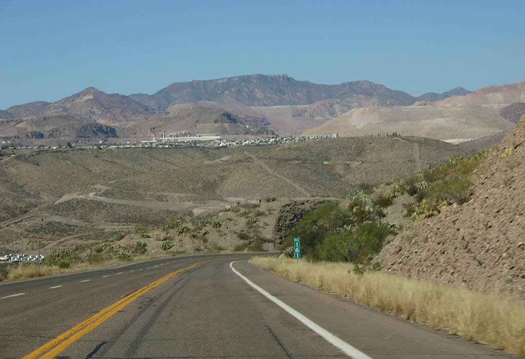
| Topping out at 4,803 feet above sea level, U.S. 191 descends from Tollhouse Canyon toward the Gila River. This section of highway was reconstructed in 2003. 11/11/07 |
|
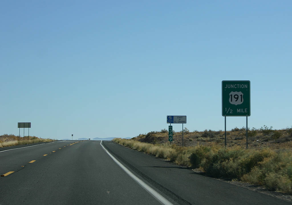
| Entering the community of Three-Wye, U.S. 191 approaches SR 75 south and SR 78 east. 11/11/07 |
|
| SR 75 parallels the Gila River south 19.4 miles from U.S. 191/SR 78 at Three-Way to U.S. 70 at Duncan. 11/11/07 |
|
| SR 78 forms a multi state route with NM 78 east to Mule Creek. Arizona Route 78 extends 19.5 miles from Three-Wye into the Big Lue Mountains. 11/11/07 |
|
| Progressing eight miles north toward Clifton, U.S. 191 traverses Buzzard Roost and Rattlesnake Canyons among others. 11/11/07 |
|
| U.S. 191 spans Cold Creek north of Three-Wye. The southbound span here was constructed in 1941. U.S. 191 was converted to a divided highway in 1999, with the addition of a roadway for northbound traffic. 11/11/07 |
|
| Guthrie Road winds southward from U.S. 191 to Guthrie along the Gila River. 11/11/07 |
|
| U.S. 191 descends into the San Francisco River Valley and the town of Clifton. 11/11/07 |
Page Updated 10-04-2019.


 North
North


 East
East