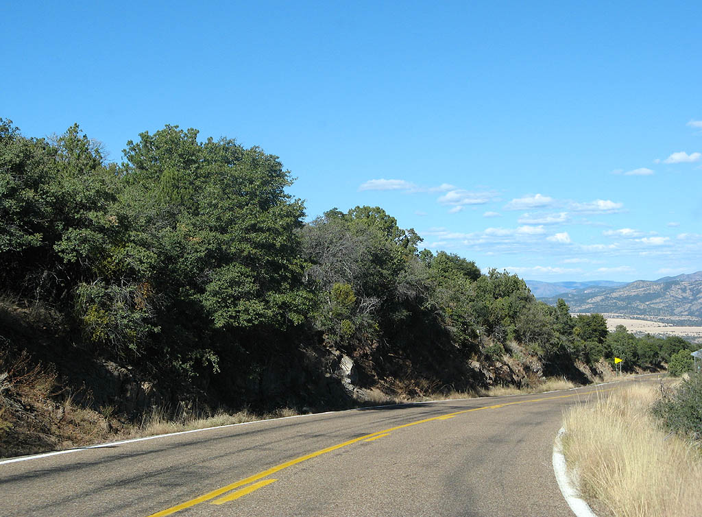
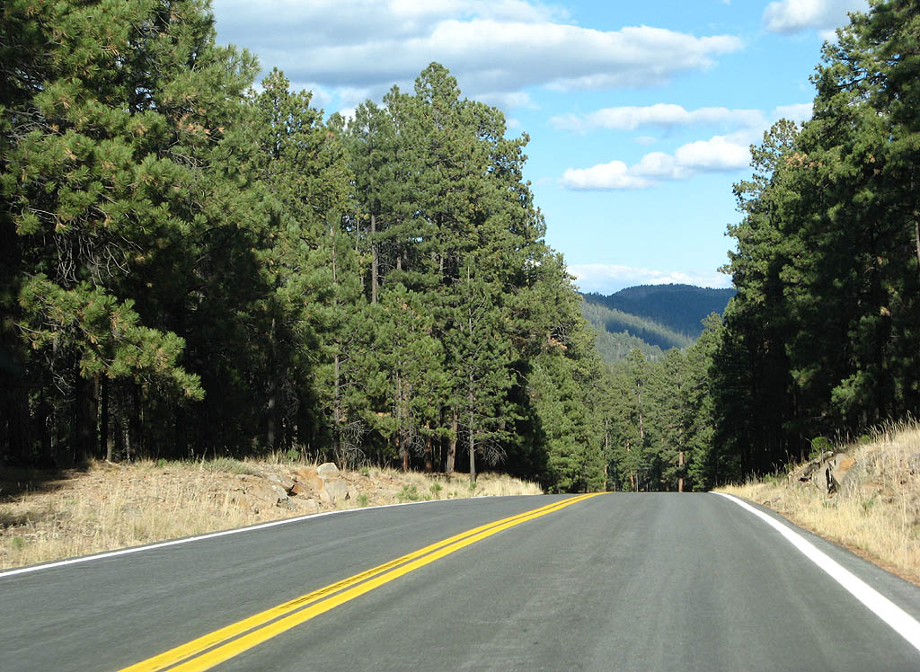
U.S. 191 through the Morenci Mine area follows a 1974 realignment of U.S. 666. The 1963 alignment of U.S. 666 followed Chase Creek. Due to the growth of the Phelps Dodge Morenci Copper Mine, Phelps Dodge paid for the rerouting of the US Highway to accommodate additional mining. The alignment of U.S. 191 navigates through the area partially on former mine roads.
|
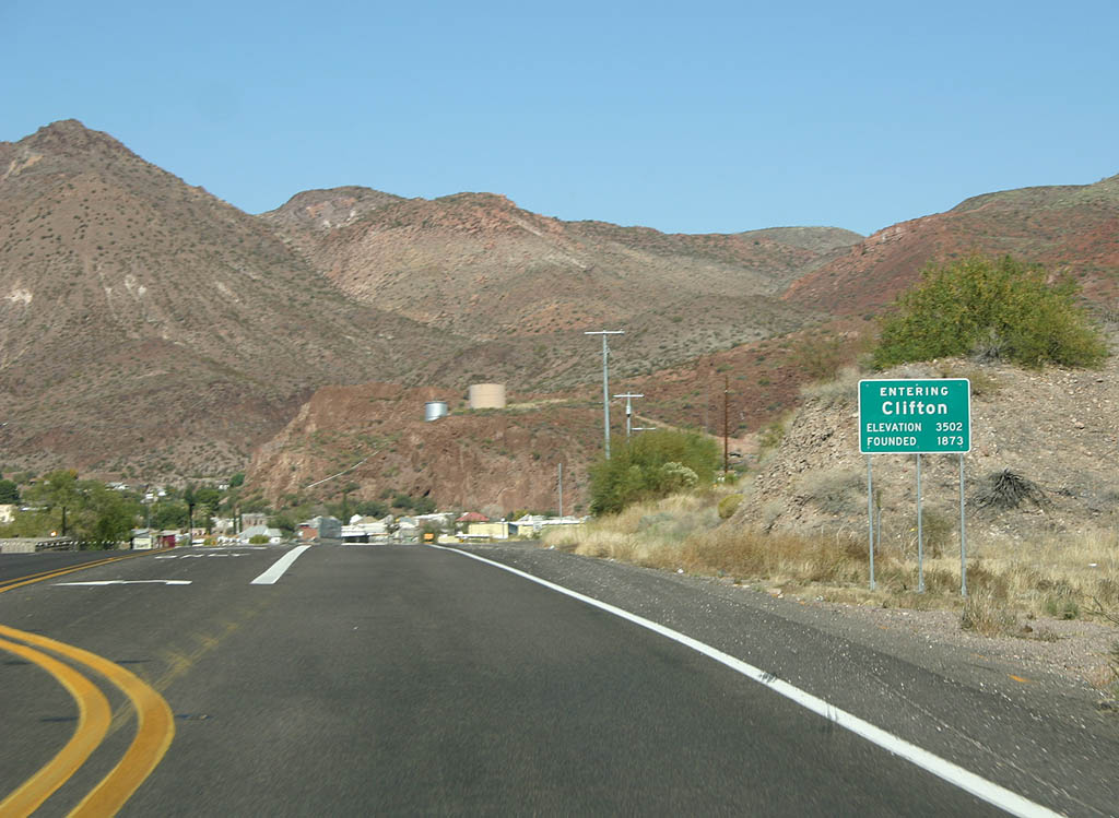
| The town of Clifton is the county seat of Greenlee County. 11/11/07 |
|
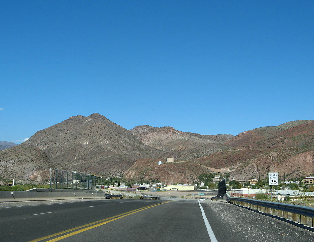
| Clifton was first settled in 1873 by miners due to the rich copper deposits nearby, which are still being mined by Phelps Dodge. U.S. Highway 191 crosses the railroad tracks here. 11/11/07 |
|
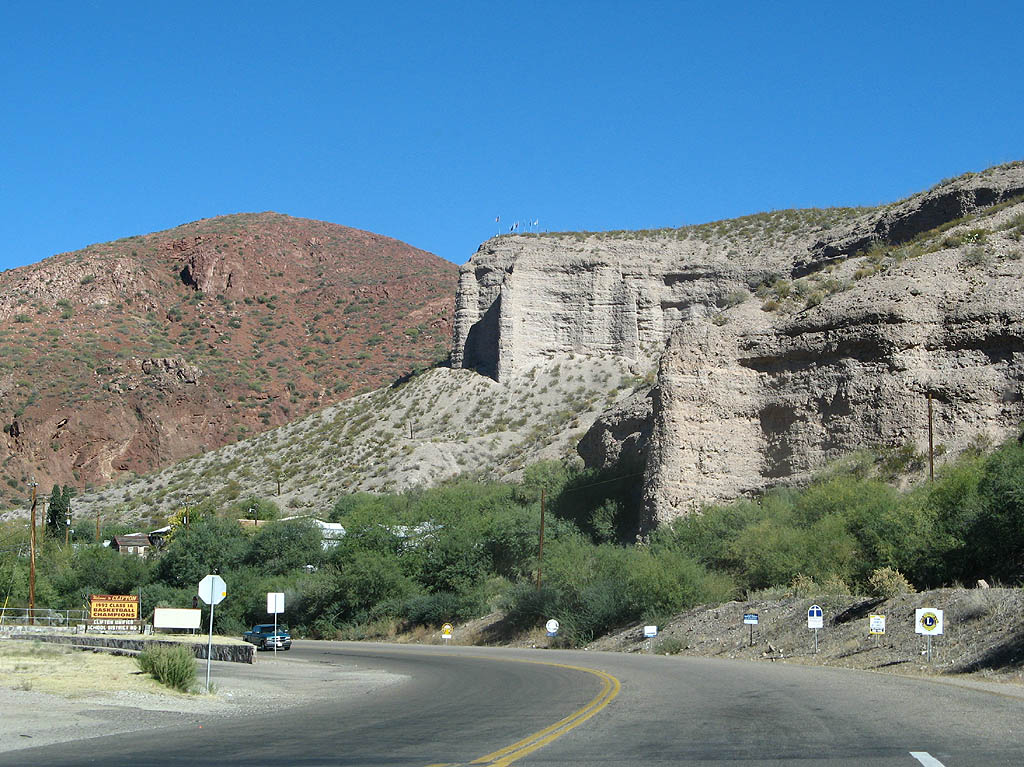
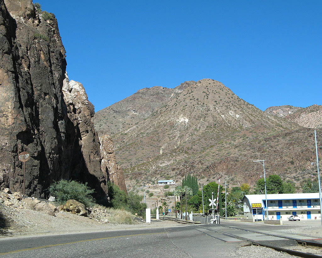
| The cliffs surrounding Clifton are quite picturesque. 11/11/07 |
|
| U.S. Highway 191 sticks very close to the railroad through Clifton. 11/11/07 |
|
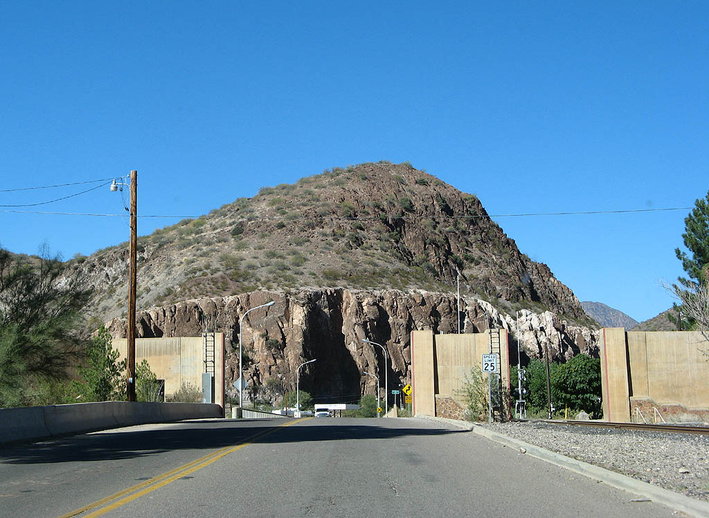
| The walls seen in this photo comprise a levee system along the San Francisco River. There are gates between the walls to allow the highway and railroad through - these can be closed to protect the rest of the narrow valley in case of a flood. 11/11/07 |
|
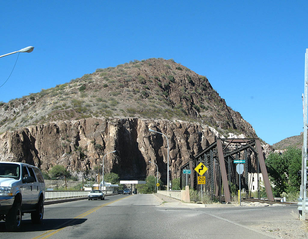
| U.S. Highway 191 crosses the San Francisco River, and turns to follow Chase Creek after crossing the river. 11/11/07 |
|
| There are several crossings of the railroad tracks due to the narrow canyon. 11/11/07 |
|
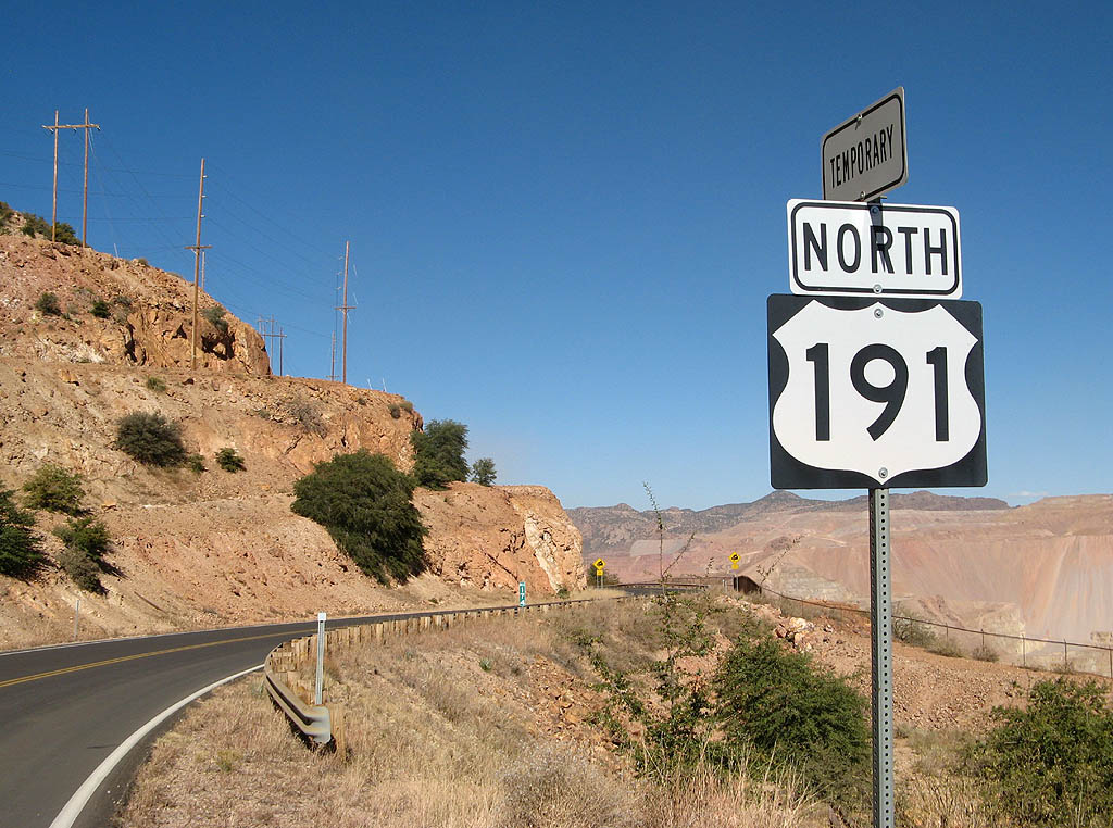
| The next 14 miles of US Highway 191 are designated as temporary by ADOT. This temporary section was built by Phelps Dodge due to an increase in mining activity (see the map above) in 1990. 11/11/07 |
|
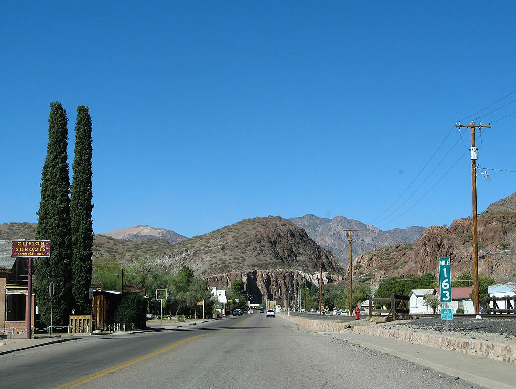
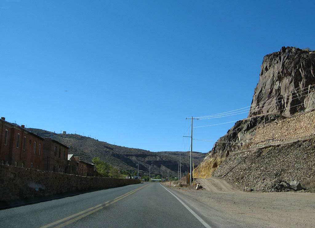
| U.S. Highway 191 passes downtown Clifton and heads west towards the Morenci mine. 11/11/07 |
|
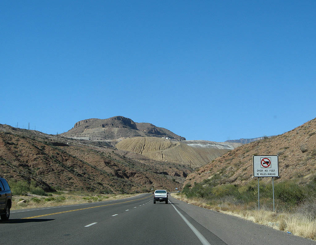
| After leaving Clifton, there is a warning sign that trucks over 40 feet long are not allowed 10 miles ahead (after passing the Morenci mine entrance). 11/11/07 |
|
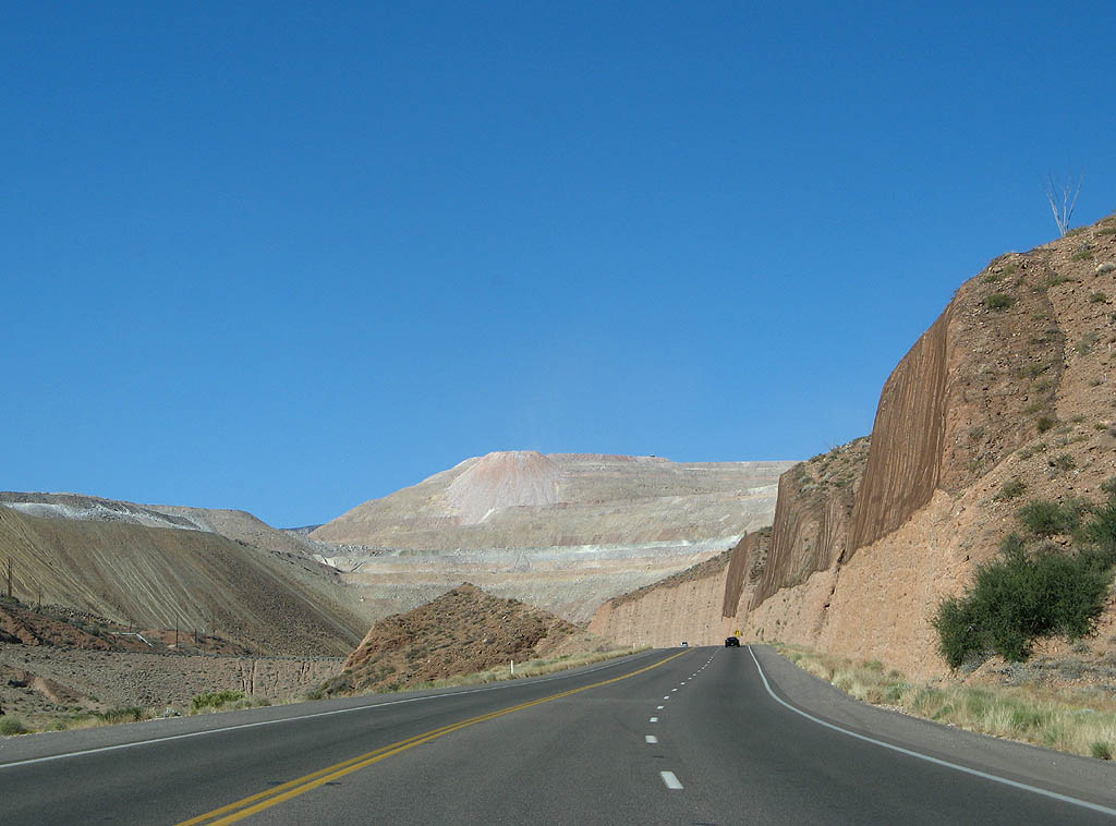
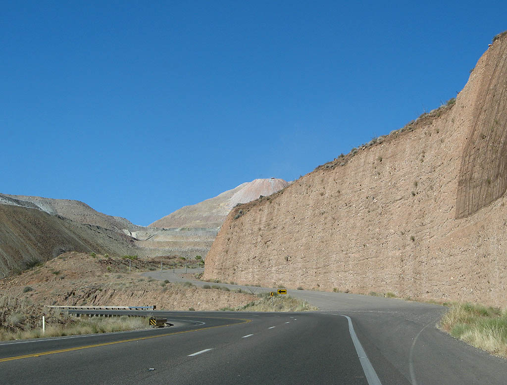
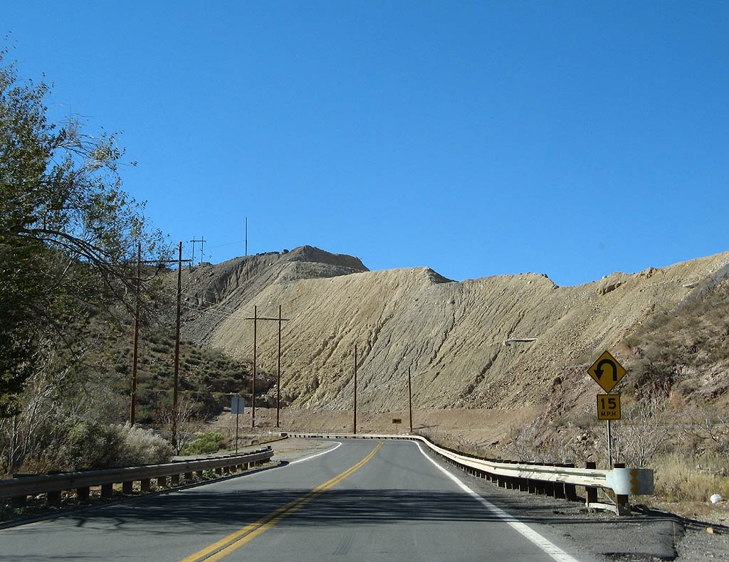
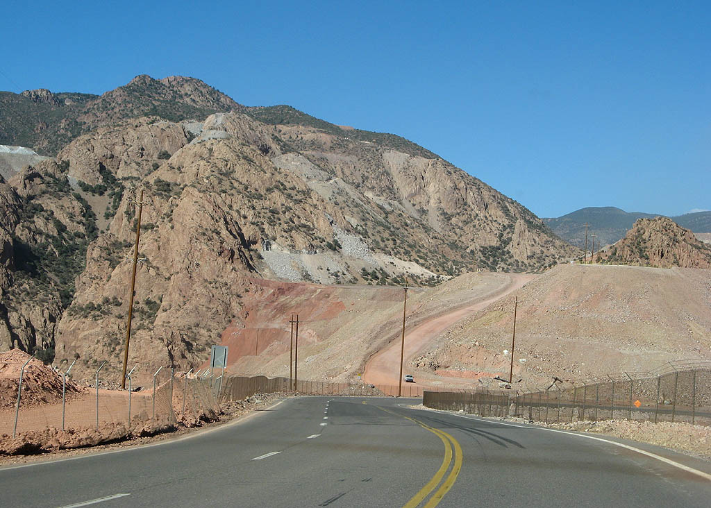
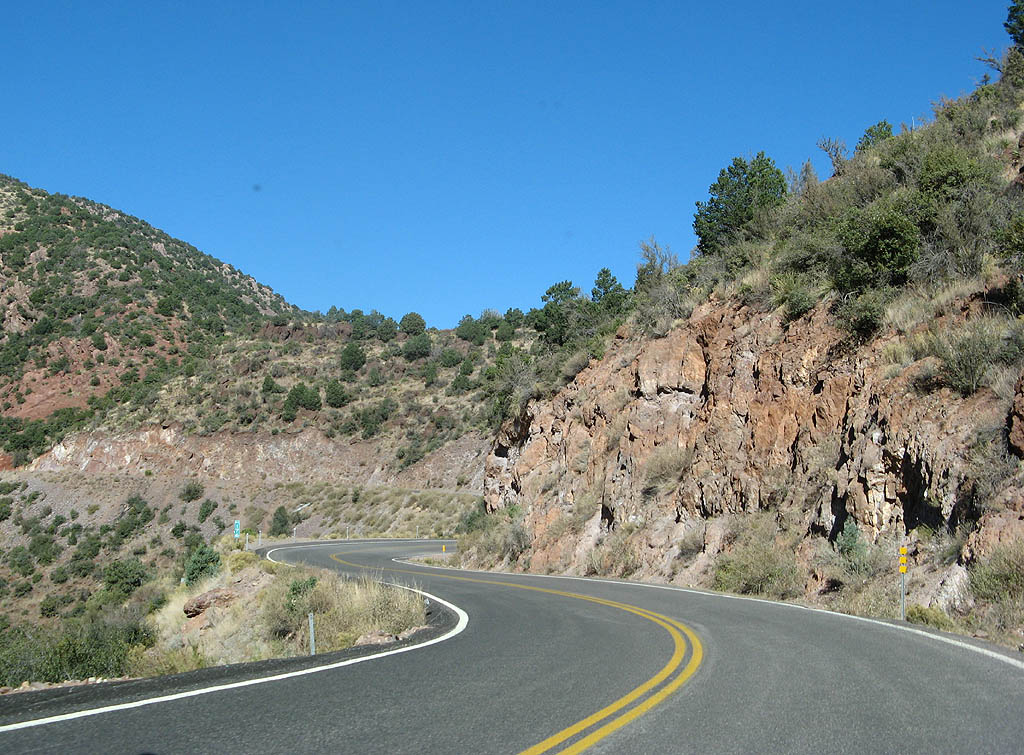
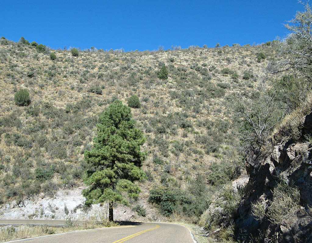
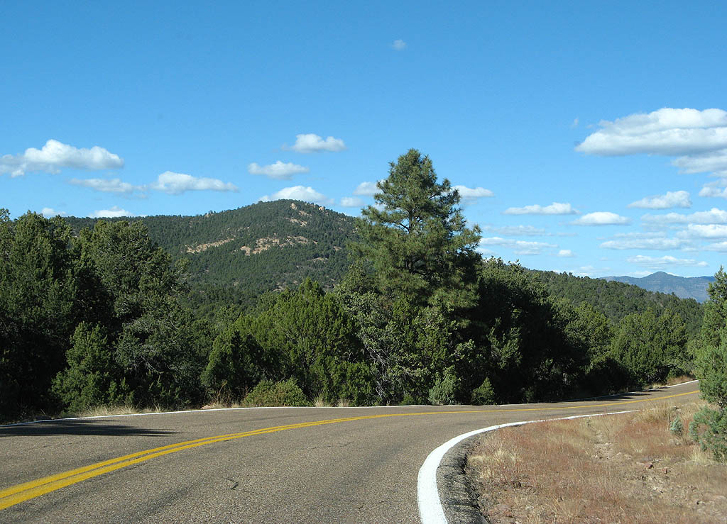
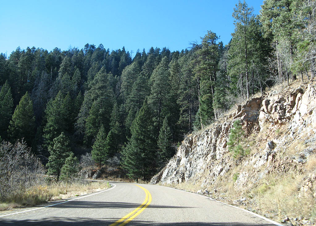
| U.S. Highway 191 enters Chase Canyon proper after leaving Clifton. The road has been widened through here, as witnessed by the high roadcut to the right. In the distance, tailings from the Morenci Mine can been seen. 11/11/07 |
|
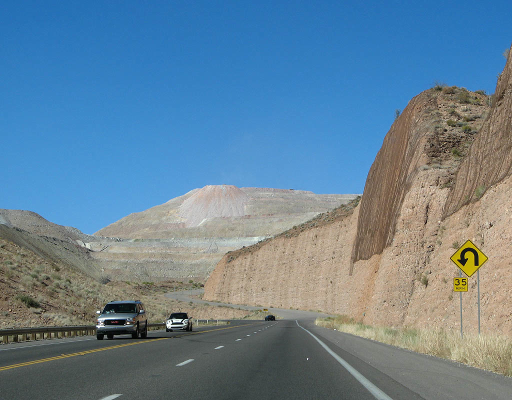
| U.S. Highway 191 has a sharp U-turn to cross the canyon and climb on the north side of it up to Morenci. 11/11/07 |
|
| The closed asphalt road that turns off to the right is former US Highway 191. This closed section of road was bypassed by the temporary alignment, with the original road following Chase Creek upstream (see the map above). 11/11/07 |
|
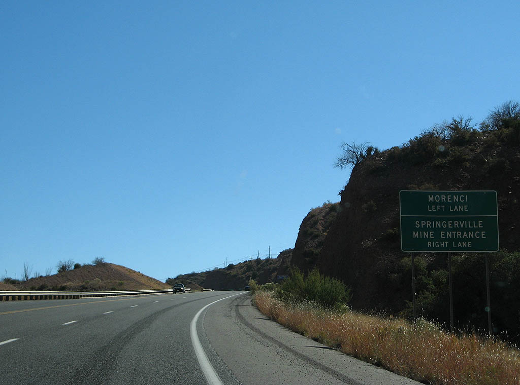
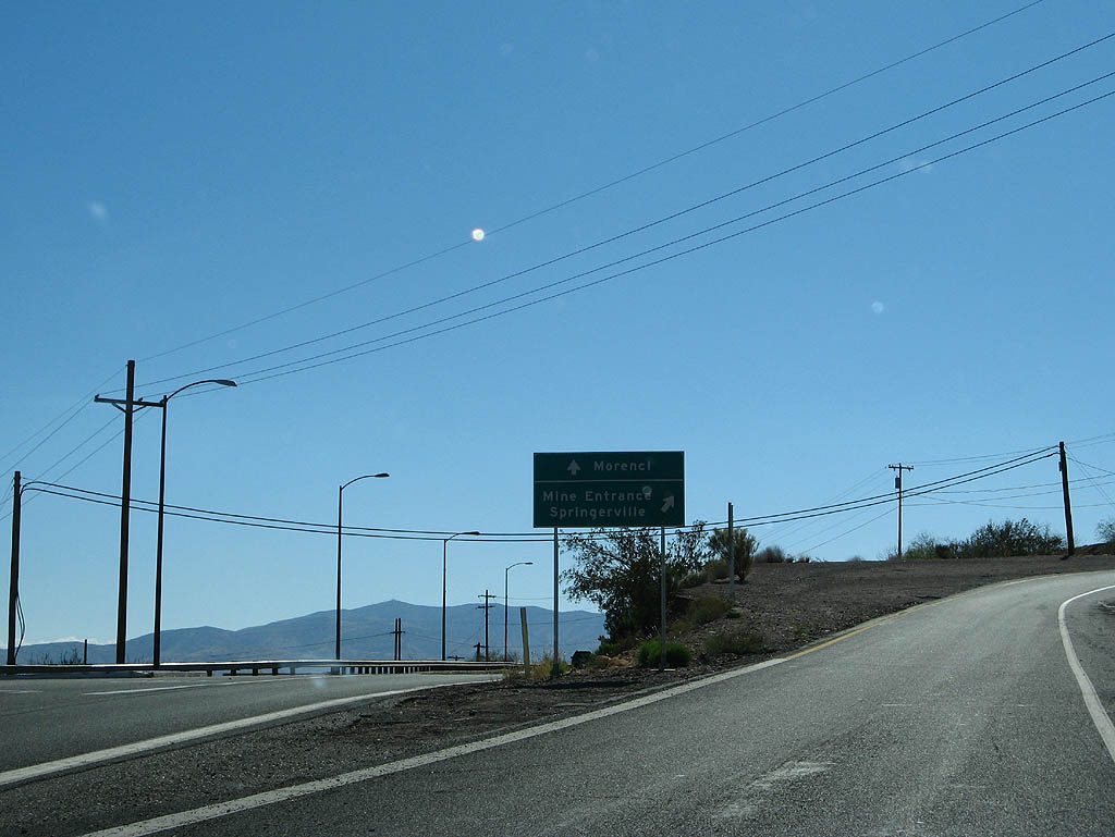
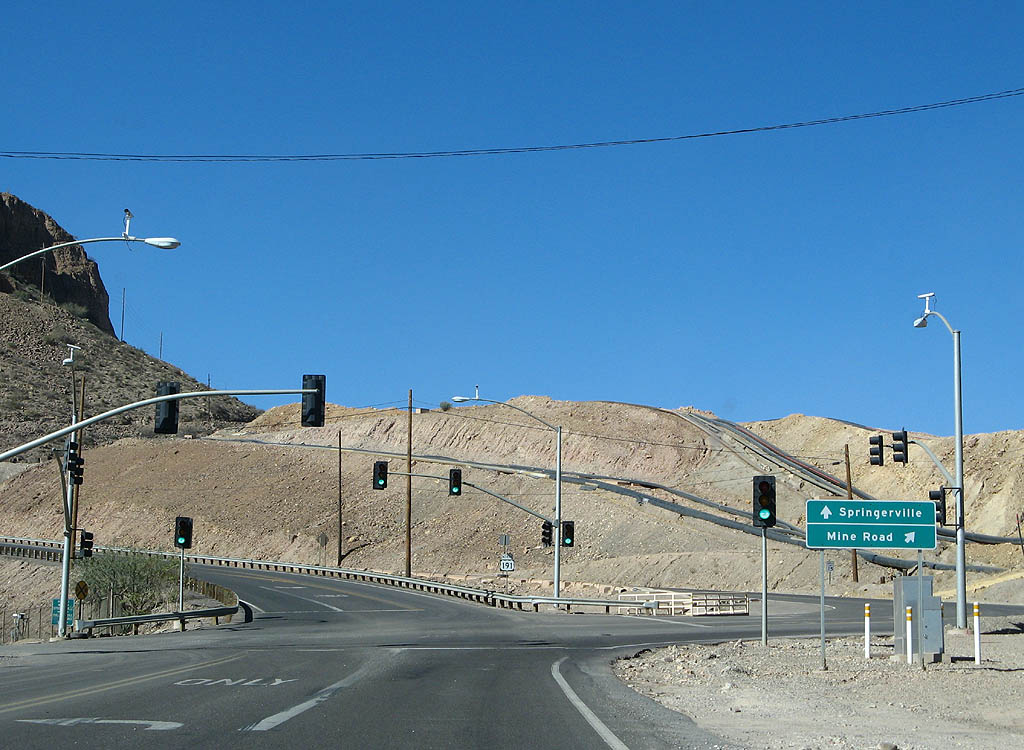
| Advance signage for the Morenci turnoff. Traffic to Morenci should use the left lane, and thru traffic to Springerville and the Mine entrance should use the right lane. 11/11/07 |
|
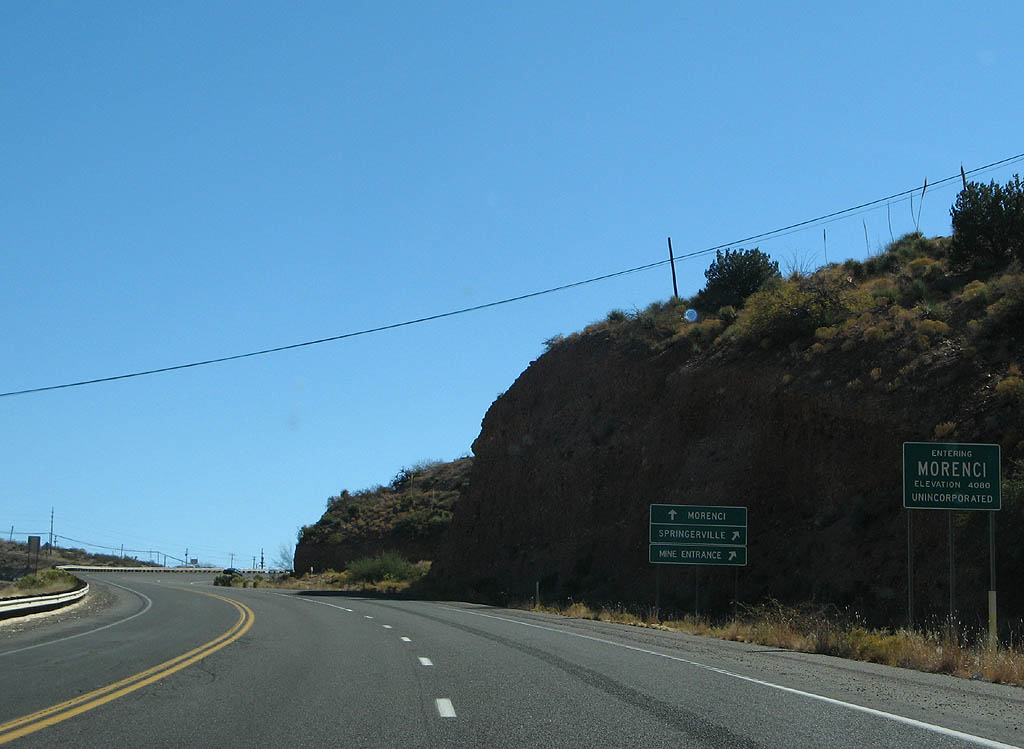
| Morenci is one of two company towns in Arizona (the other being Bagdad) - both are owned by Phelps Dodge. The townsite has been relocated further south due to the growth in mining over the last 30 years. 11/11/07 |
|
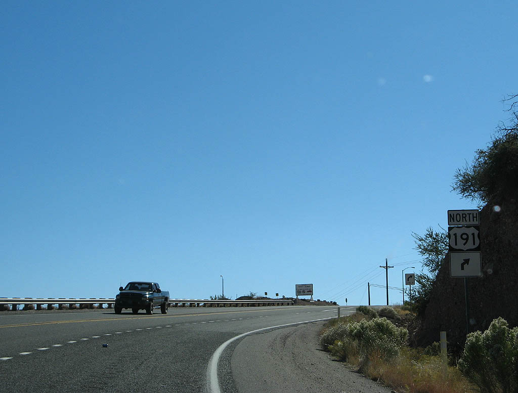
| Traffic continuing on U.S. Highway 191 must make a sharp right turn to stay on the road. This is a legacy of the 1973 reroute, as we are following the original Morenci access road. 11/11/07 |
|
| Traffic traveling to Morenci exit to the town here. Morenci was originally founded as a mining town, and named for Morenci, Michigan. The town was relocated in the 1950s with the growth of the Phelps Dodge open pit mine to it's current location, and is now totally owned by Phelps Dodge. 11/11/07 |
|
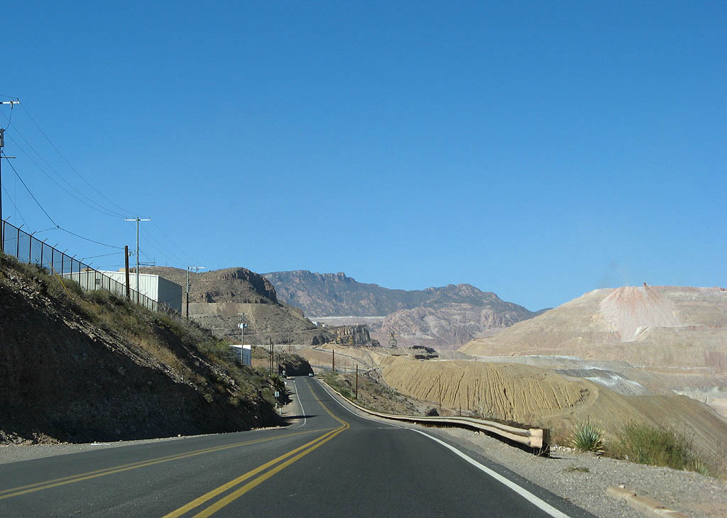
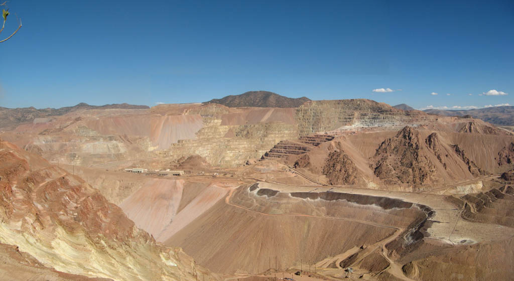
| U.S. Highway 191 now travels around the edge of the massive open pit mine. 11/11/07 |
|
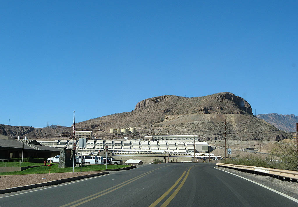
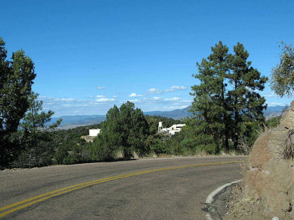
| The headquarters of the operation can be seen in the left side of this photo. 11/11/07 |
|
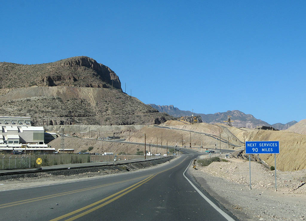
| There are no services on U.S. Highway 191 until reaching Alpine, 90 miles ahead. This is one of the most desolate roads in the nation ahead. 11/11/07 |
|
| This is the last signal along U.S. Highway 191 until well past Springerville. Turn right to enter the Morenci mine here. 11/11/07 |
|
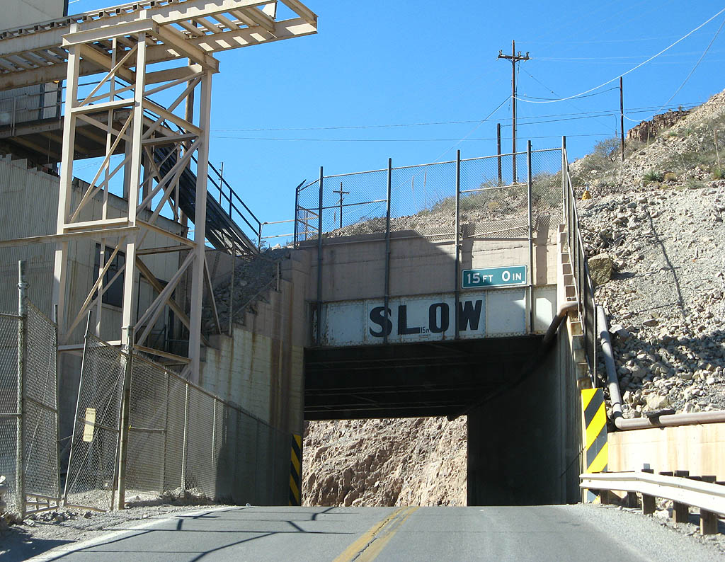
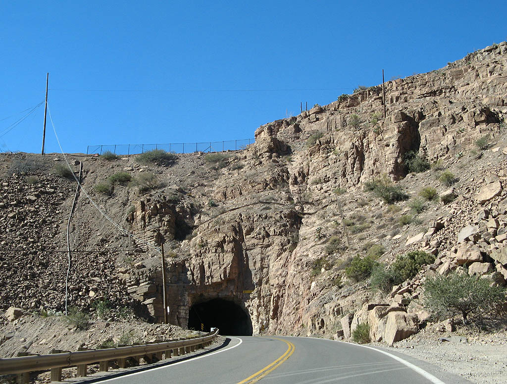
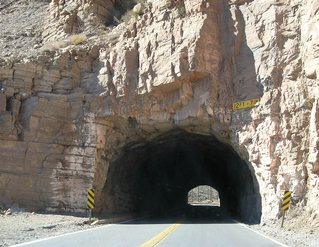
| As U.S. Highway 191X was rerouted through the mine, some portions of the road are somewhat unusual. This railroad underpass was constructed in 1949, and is almost like a tunnel instead of a bridge. 11/11/07 |
|
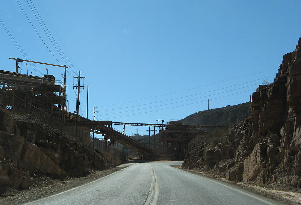
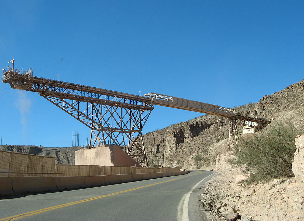
| These two photos show some of the infrastructure used to process the mined copper. U.S. Highway 191 passes next to the processing area. 11/11/07 |
|
| This tunnel was constructed in 1949 as part of the Federal Aid Secondary system, and added to the state highway system as part of the reroute. It is 400 feet long, and unlit. 11/11/07 |
|
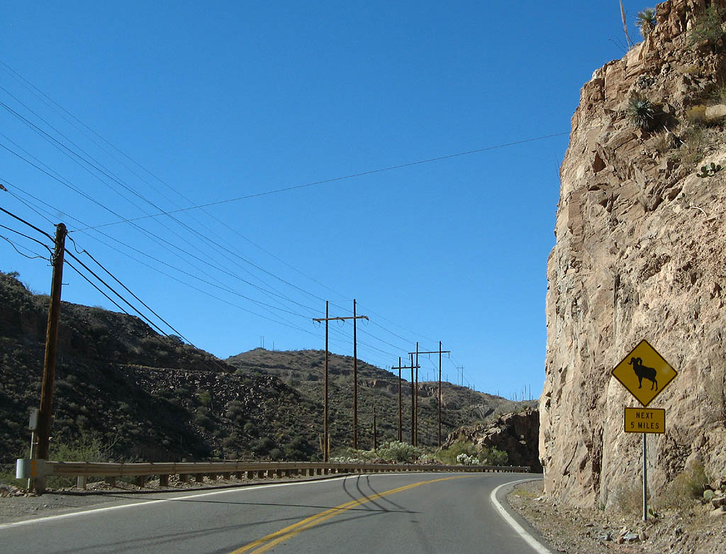
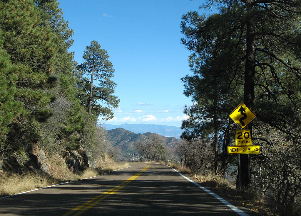
| Bighorn Sheep have been seen on the hills around the Morenci Mine, as noted on this sign. 11/11/07 |
|
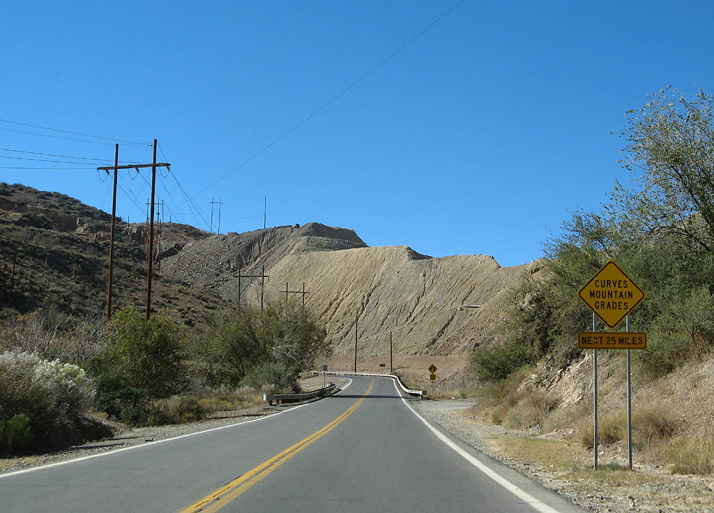
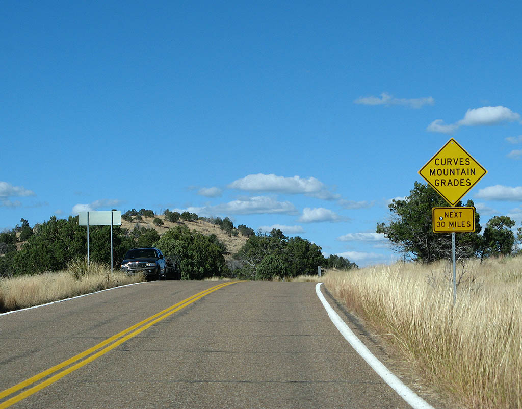
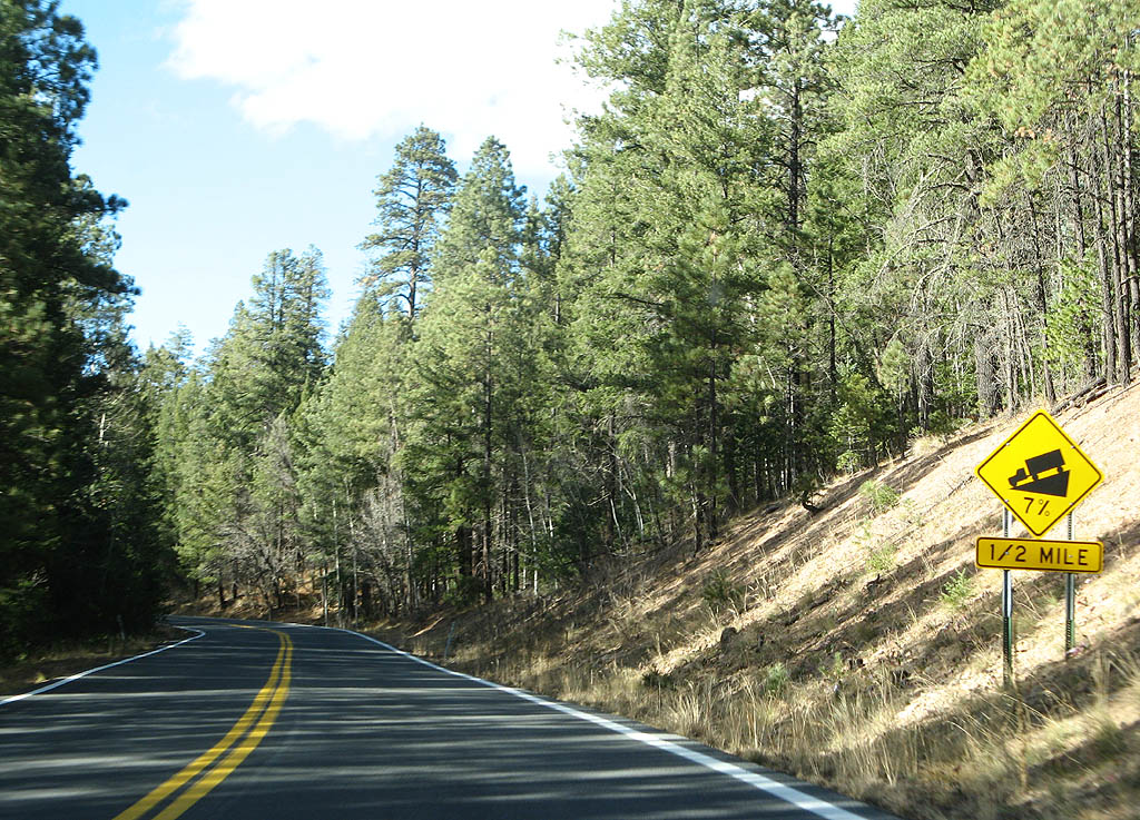
| This is a taste of things to come...but the first round is only 25 miles. What they don't tell you is in 29 miles, you'll see this sign again. 11/11/07 |
|
| U.S. Highway 191 crosses Morenci Gulch here and starts climbing higher into the surrounding mountains around the mine. 11/11/07 |
|
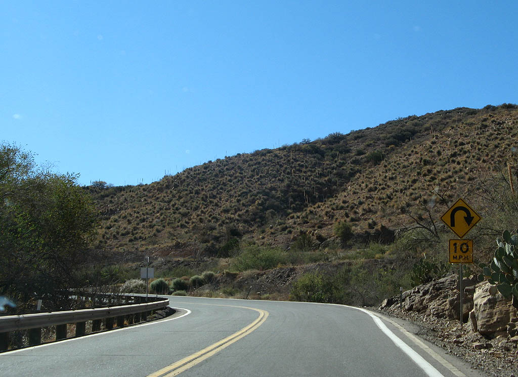
| The sharp curves through the mine are just a taste of what lies ahead. At this point, U.S. Highway 191 leaves Morenci Gulch and climbs up the south side of the gulch. 11/11/07 |
|
| U.S. Highway 191 climbs through tight switchbacks approximately 600 feet in 2/3 of a mile to follow the sides of Copper Mountain. 11/11/07 |
|
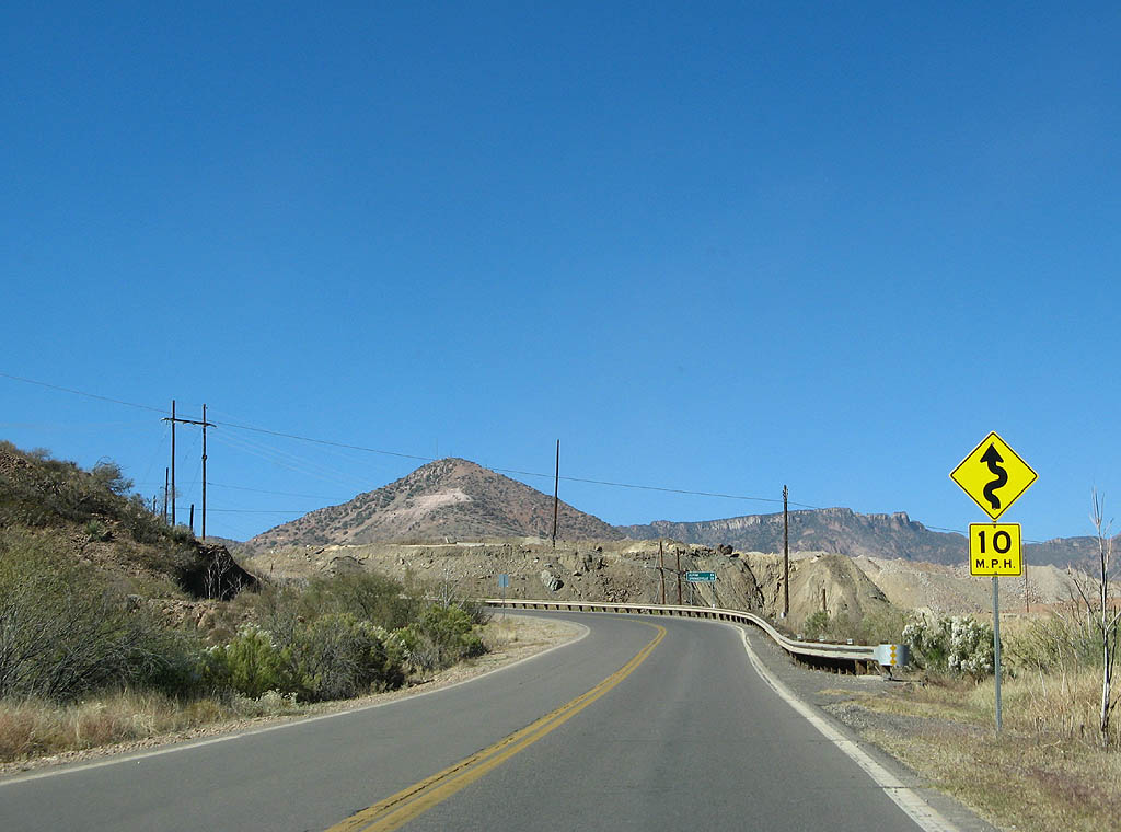
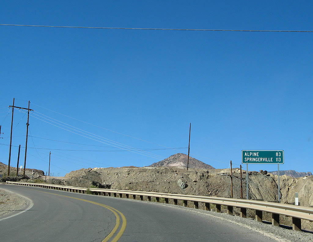
| Distance sign to Alpine (83 miles) and Springerville (113 miles). 11/11/07 |
|
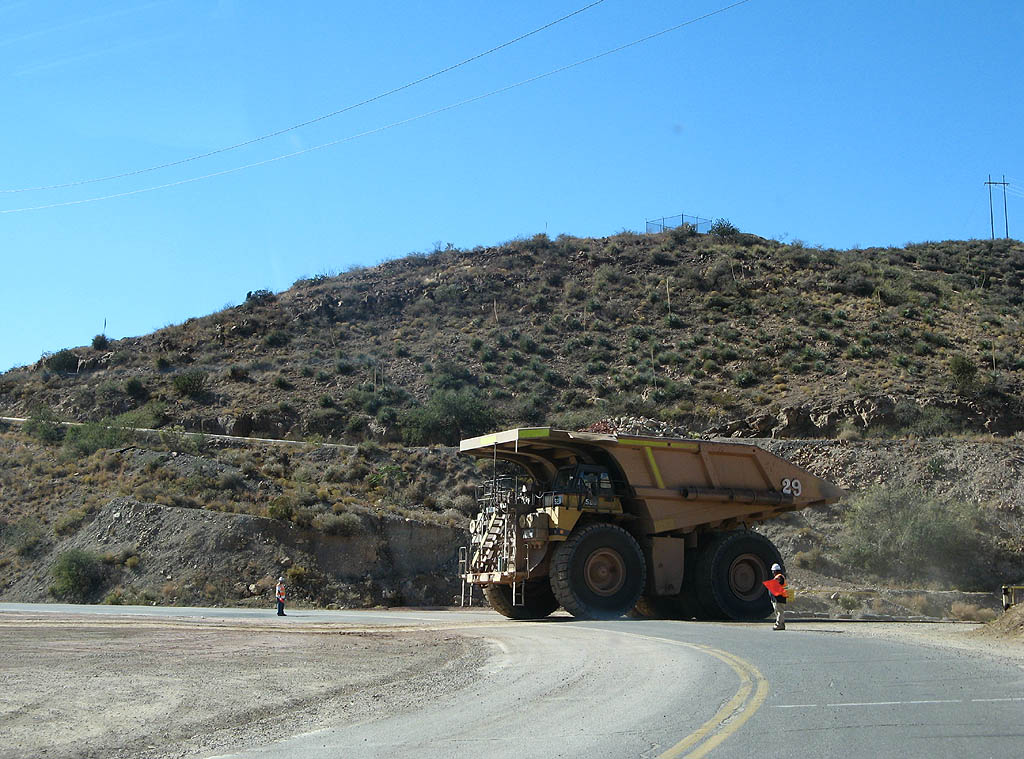
| U.S. Highway 191 crosses a mine haul road, as seen by the large equipment driving in front of us. Flagmen are in place to stop what little traffic there is on U.S. Highway 191. 11/11/07 |
|
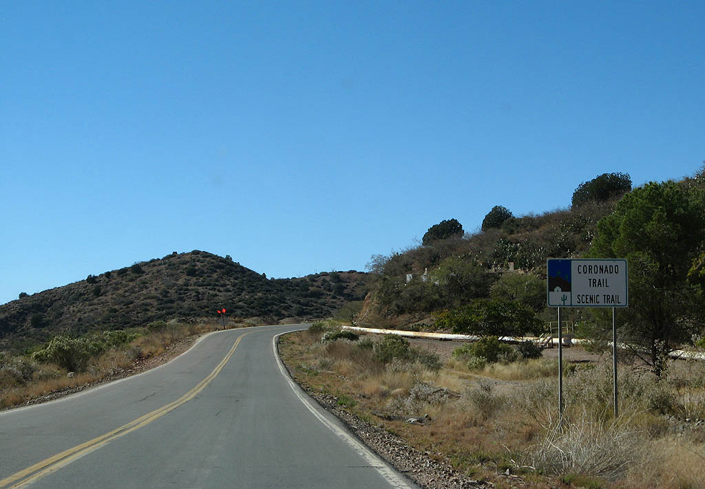
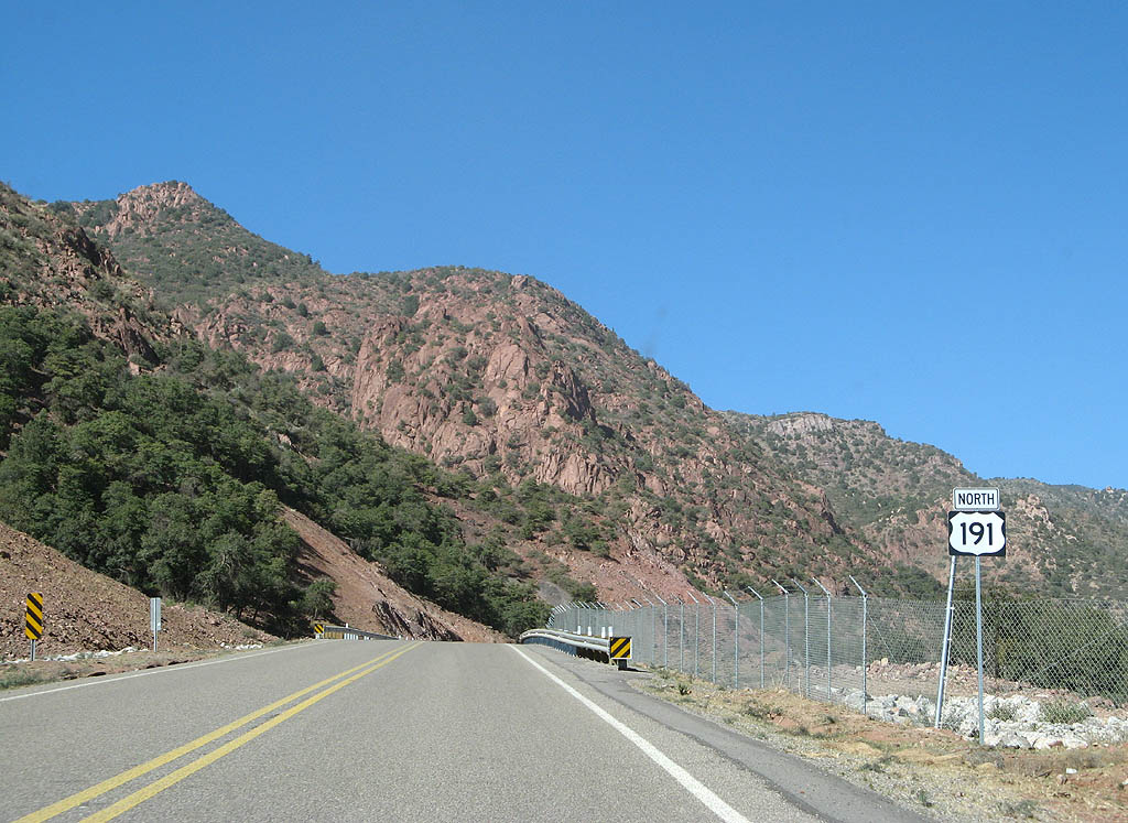
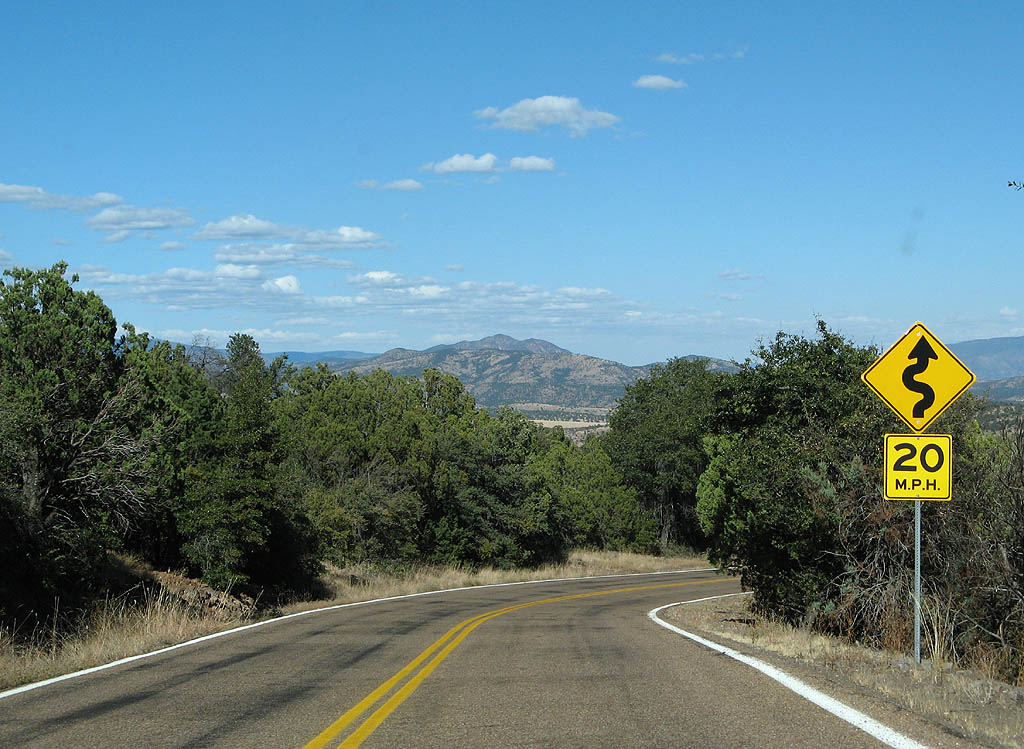
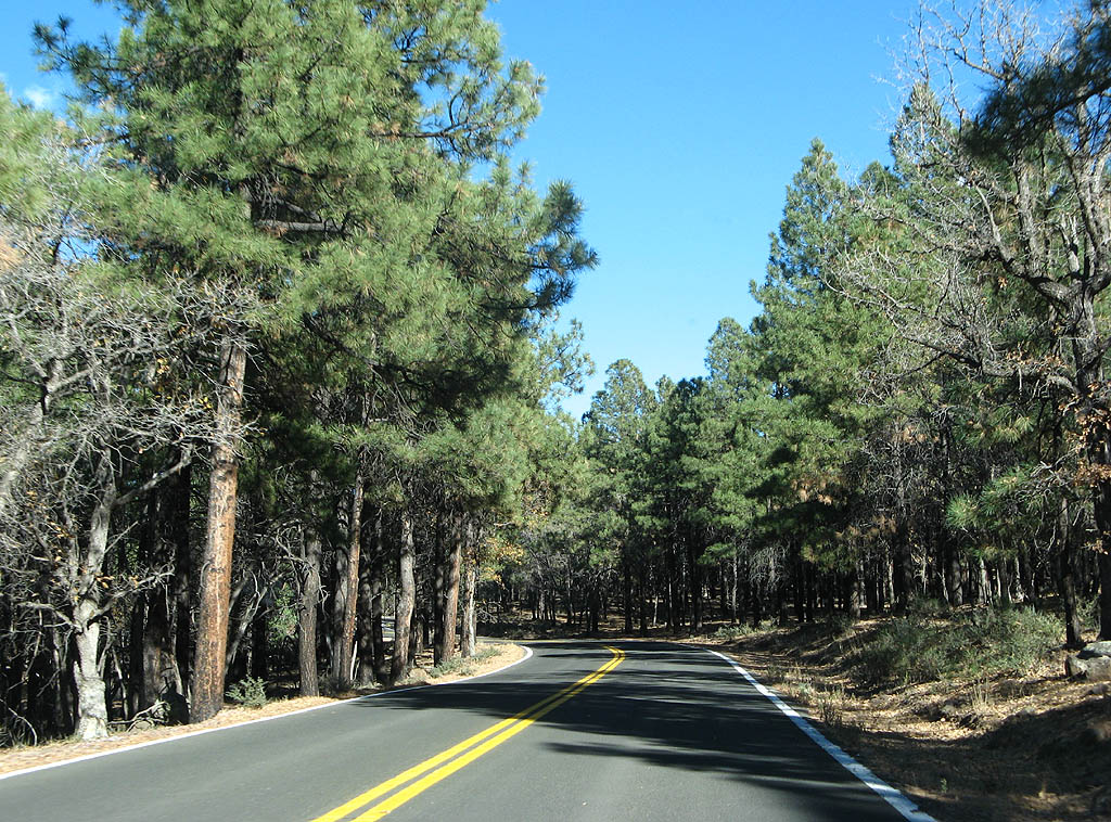
| U.S. Highway 191 was designated a scenic route in 1989. The road is named the Coronado Trail, for the terrain along the road follows the records kept by the Coronado expedition to find the Seven Cities of Cibola. 11/11/07 |
|
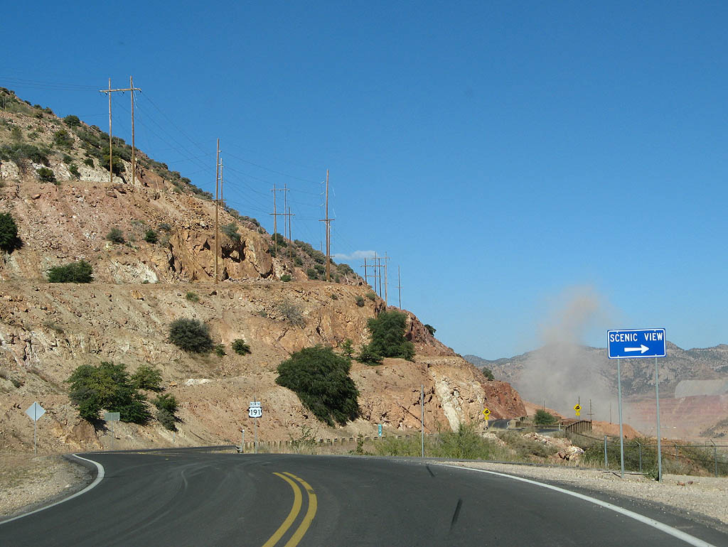
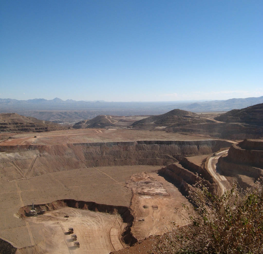
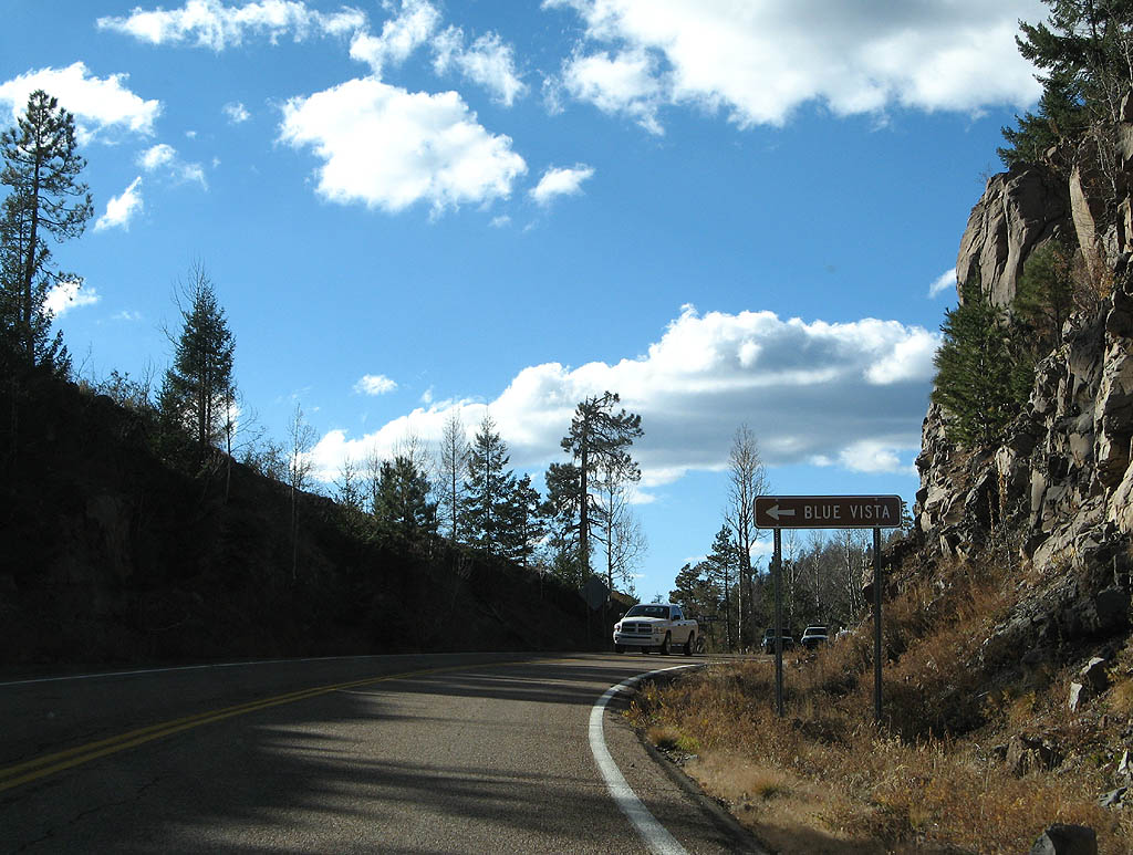
| Phelps Dodge has an overlook of the open pit, which can be accessed at this turnoff. 11/11/07 |
|
| The Morenci open pit mine is the largest copper mine in Arizona. Open pit mining activity began at the site in 1937. Today, more than 700,000 tons of rock are moved daily, and the mine produces 840 million pounds of copper per year. 11/11/07 |
|
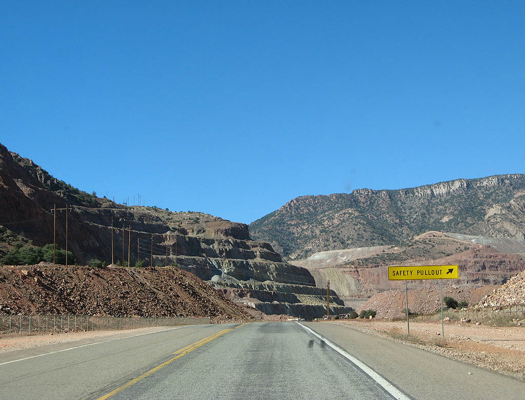
| After the overlook, U.S. Highway 191X begins a descent back into the Chase Creek drainage. This safety pullout is designed for trucks to check their brakes before descending the grade. 11/11/07 |
|
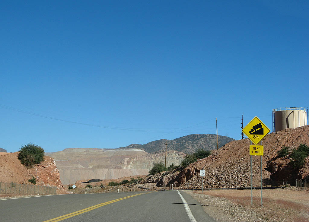
| U.S. Highway 191X has an 8% downgrade to re-enter Chase Creek canyon. This is about the only downgrade until reaching Alpine as we head northbound. 11/11/07 |
|
| U.S. Highway 191X winds its way around unnamed hills as it winds around the mine. 11/11/07 |
|
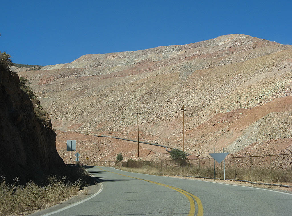
| US Highway 191X passes next to the rock pile, comprised of lower grade copper rocks taken from the mine. At some point, these may be mined or refined to extract additional copper. 11/11/07 |
|
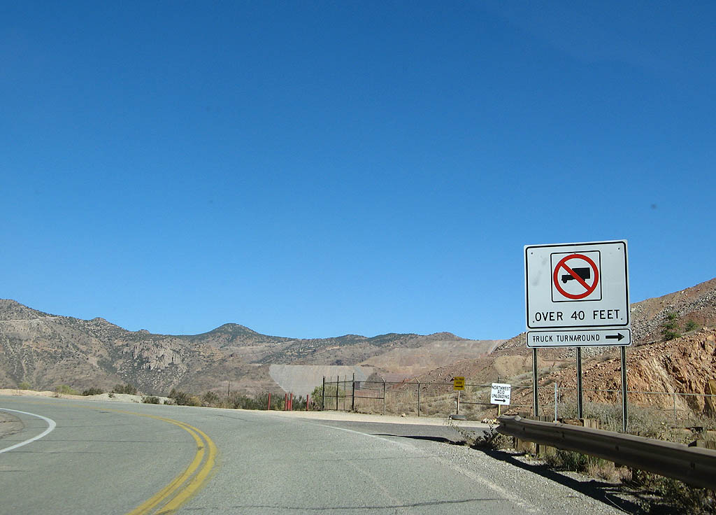
| After passing this point, U.S. Highway 191 is restricted to trucks under 40 feet in length, due to the sharp curves ahead. 11/11/07 |
|
| U.S. Highway 191 starts to descend back into the Chase Creek drainage here. 11/11/07 |
|
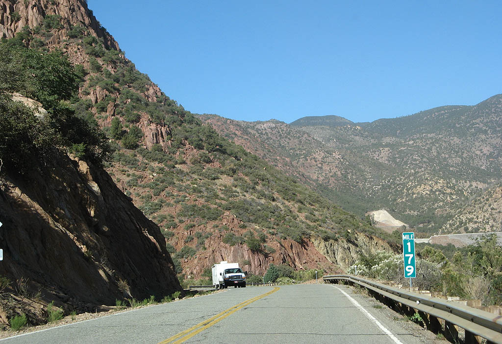
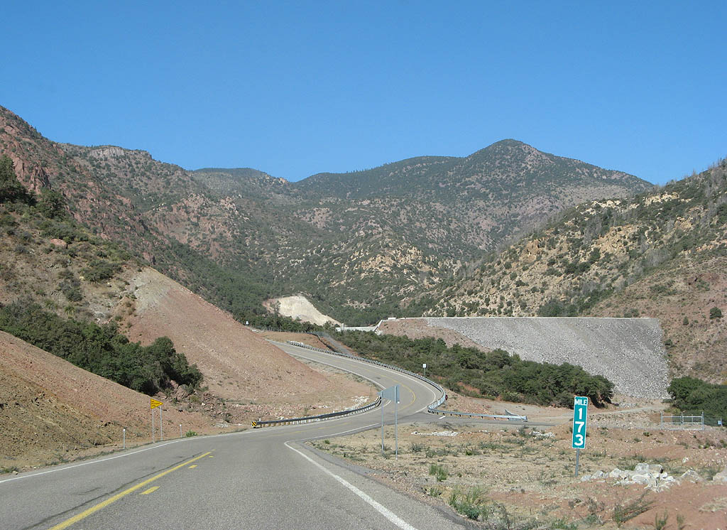
| Take note of this milepost - Mile 179. We are about to leave Temporary U.S. Highway 191 behind. 11/11/07 |
|
| This dam inside Chase Creek is designed to prevent runoff from entering the Morenci mine. This is a fairly recent addition to the landscape, due to the growth of the mine. Notice the milepost in this photo, marking the return to the permanent alignment. 11/11/07 |
|
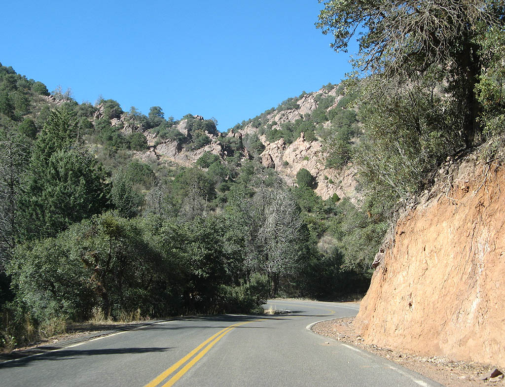
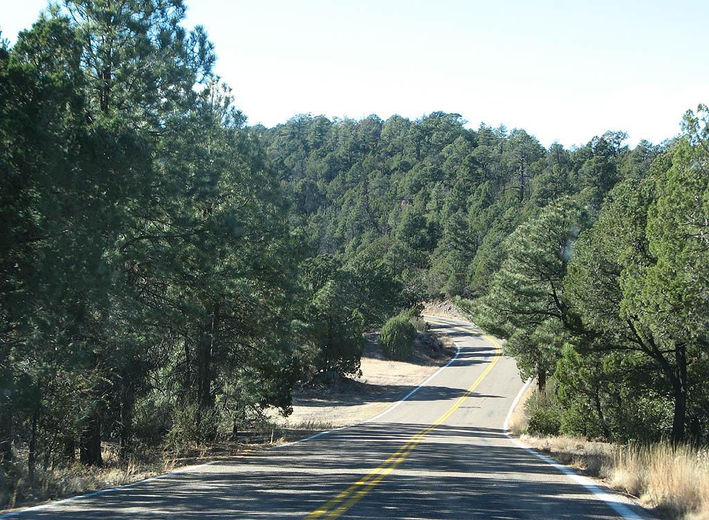
| U.S. Highway 191 passes through the scenic upper reaches of Chase Creek Canyon. 11/11/07 |
|
| To avoid a steep section of Chase Creek Canyon, U.S. Highway 191 has a shapr turn to climb the east wall of the canyon in a long switchback. 11/11/07 |
|
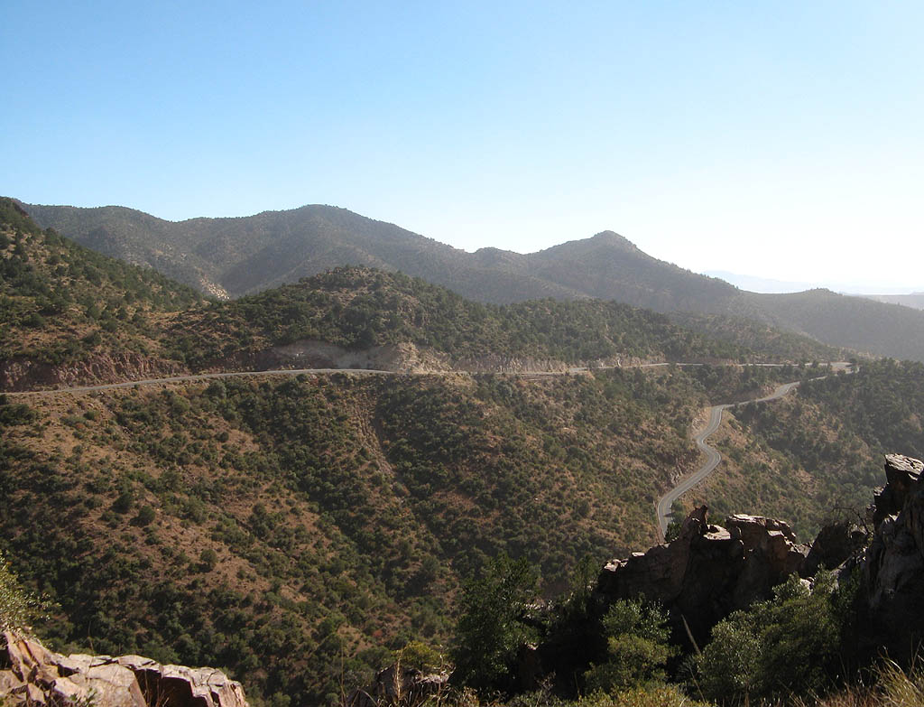
| U.S. Highway 191 climbs almost 800 feet vertically out of Chase Creek Canyon before it reaches the Chase Creek overlook. 11/11/07 |
|
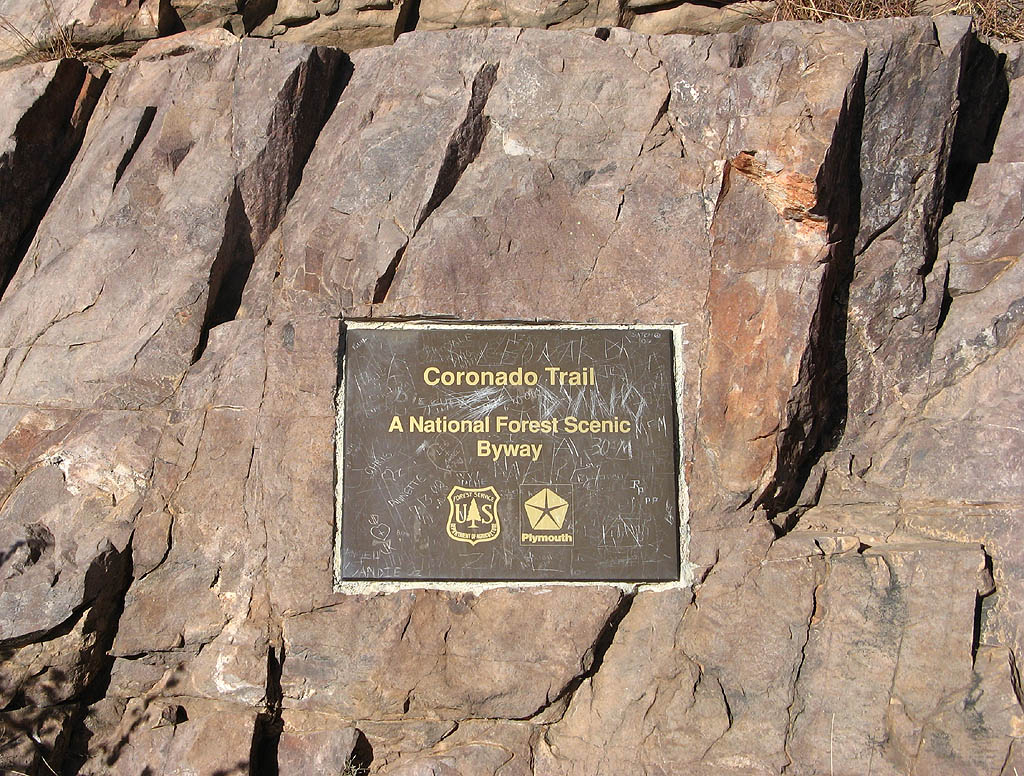
| This plaque, located at the Chase Creek overlook, denotes the national scenic byway. The second photo looks south at the grade we just climbed out of Chase Creek Canyon. 11/11/07 |
|
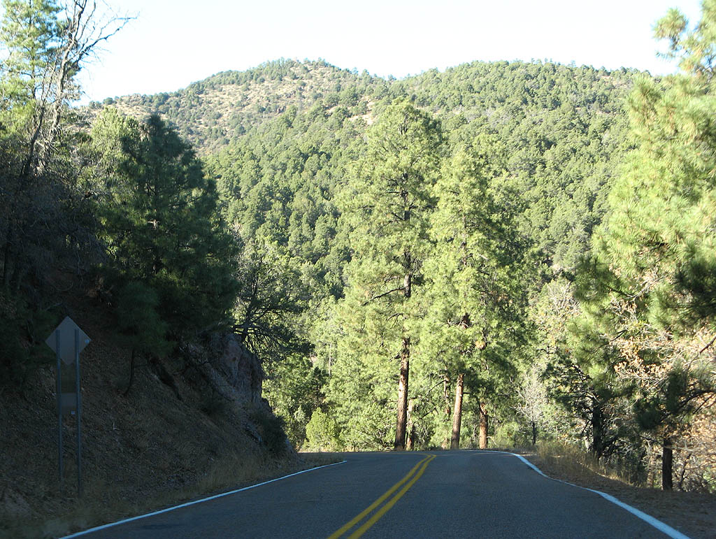
| U.S. Highway 191 climbs along the sides of 7242 foot tall Pinal Point before following Chase Creek again. 11/11/07 |
|
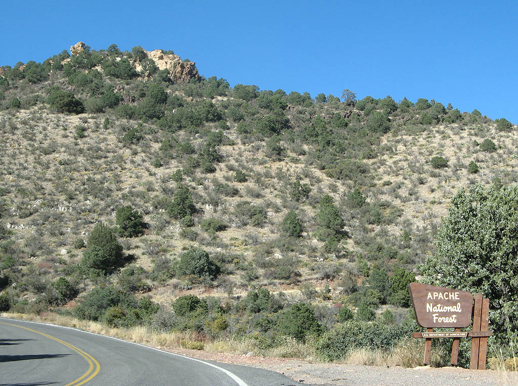
| U.S. Highway 191 enters the Apache National Forest. The forest was established in 1908, and is now part of the Apache-Sitgreaves National Forest. 11/11/07 |
|
| U.S. Highway 191 at the Granville
Campground and Picnic Area. The campground is named
for a former way station, named after an old prospector. 11/11/07 |
|
| U.S. 191 now winds around a low saddle to leave Chase Creek completely. 11/11/07 |
|
| U.S. Highway 191 now crosses Sardine Saddle. At Sardine Saddle (elevation 7200 feet), U.S. Highway 191 meets an old alignment that is now a hiking trail. 11/11/07 |
|
| U.S. Highway 191 meets HL Saddle here. HL Saddle, at approximately 7400 feet in altitude, marks the headwaters of HL Canyon. 11/11/07 |
|
| U.S. Highway 191 winds above the headwaters of Whitewater Creek. 11/11/07 |
|
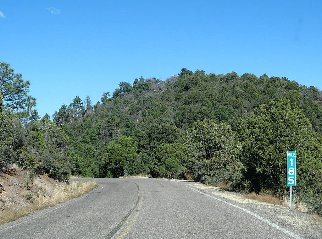
| A winding stretch of U.S. 191 beyond milepost 185, takes the highway along the saddle between Pigeon Creek and Smith Canyon. 11/11/07 |
|
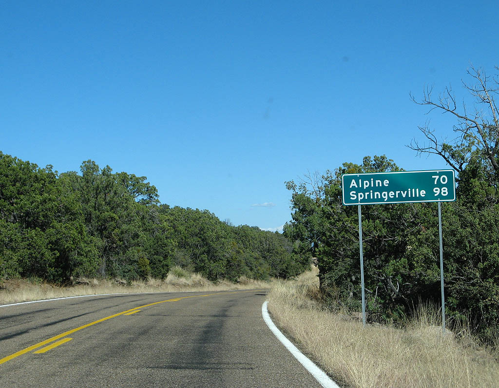
| Distance sign to Alpine (70 miles) and Springerville (98 miles). 11/11/07 |
|
| U.S. Highway 191 descends to around 6700 feet as it passes above Juan Miller Creek. The terrain widens out to a broad bench above the creek. 11/11/07 |
|
| There is a sharp series of turns above the headwaters of Juan Miller Creek to avoid another finger canyon. 11/11/07 |
|
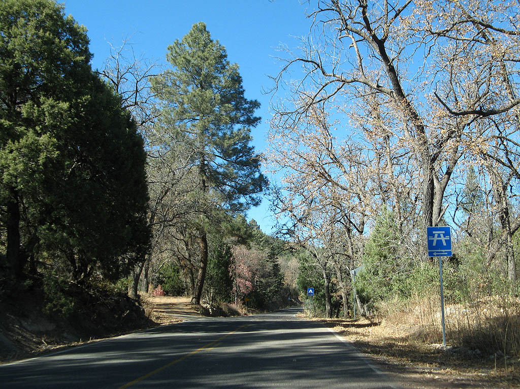
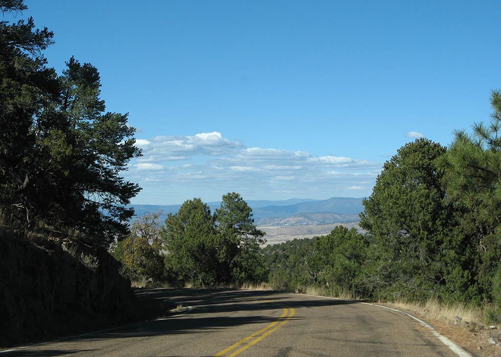
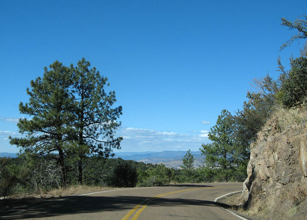
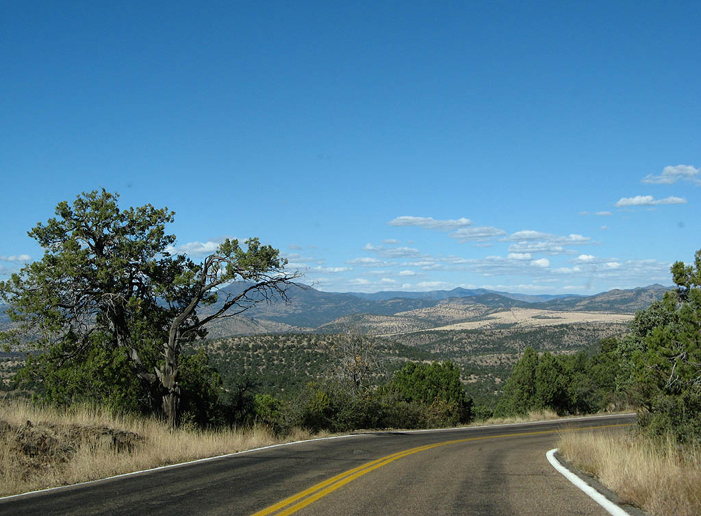
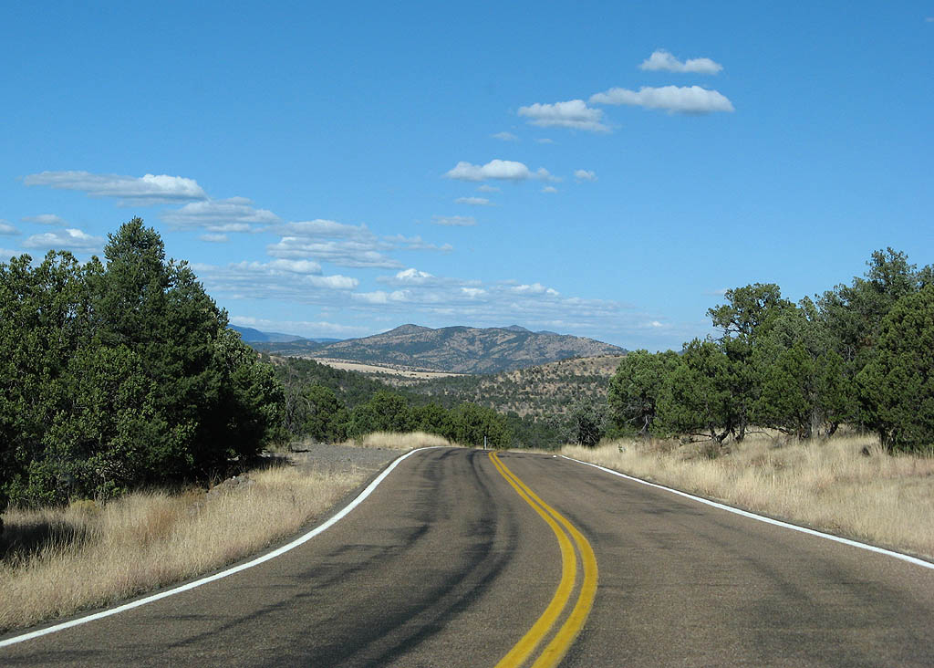
| The terrain of the Apache National Forest has been lightly touched by man over the last 200 years. Notice the broad vista ahead of us. 11/11/07 |
|
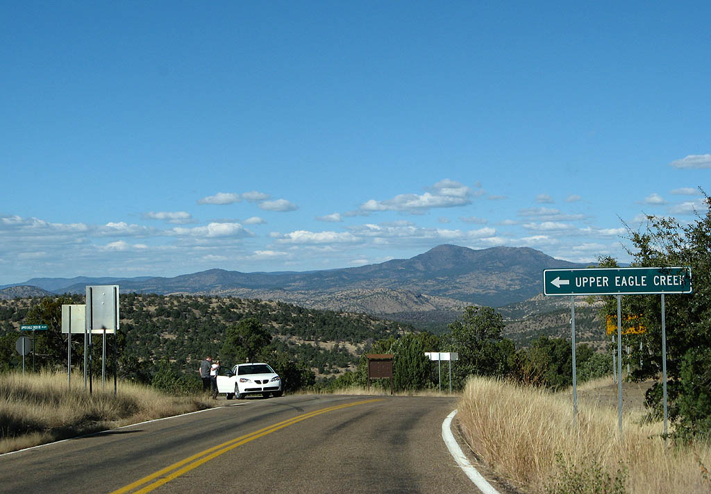
| U.S. Highway 191 meets Forest Route 217 here. Use Forest Route 217 to reach Eagle Creek and the Honeymoon campground. 11/11/07 |
|
| The views from U.S. Highway 191 reach all the way to Blue Peak. 11/11/07 |
|
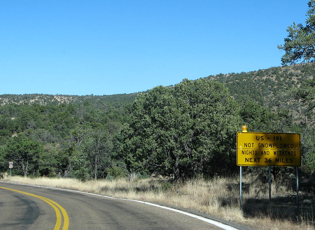
| U.S. Highway 191 is not plowed on weekends or at night during winter, for obvious reasons. 11/11/07 |
|
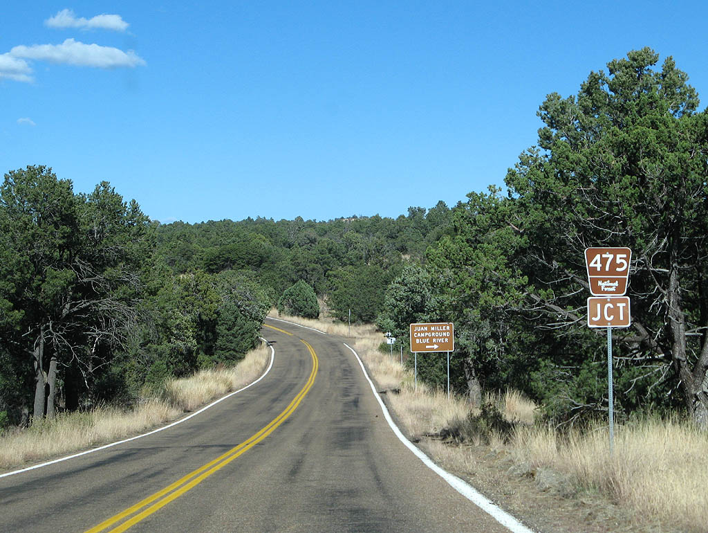
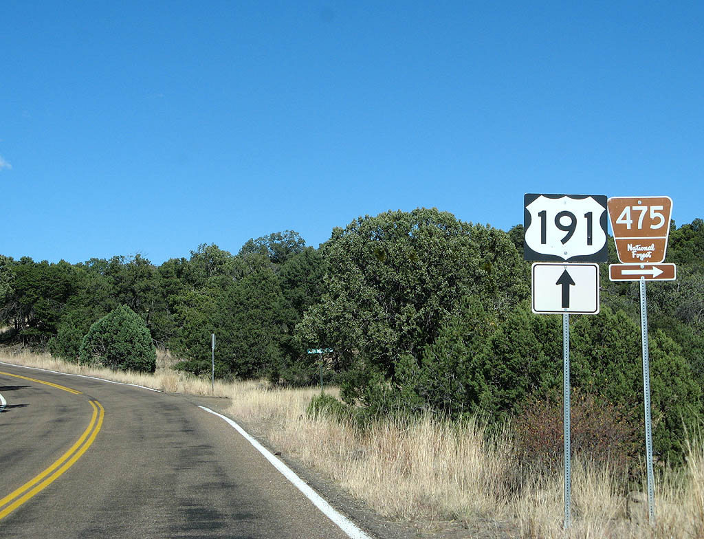
| Advance signage for Forest Route 475. 11/11/07 |
|
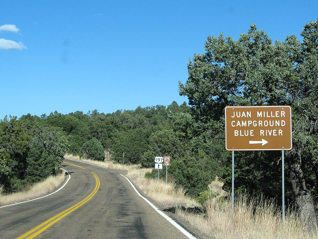
| Use Forest Route 475 to reach Juan Miller Campground and Blue River. 11/11/07 |
|
| Forest Route 475 departs from U.S. Highway 191 here. The dirt road goes all the way to the Blue River, over 12 miles away. 11/11/07 |
|
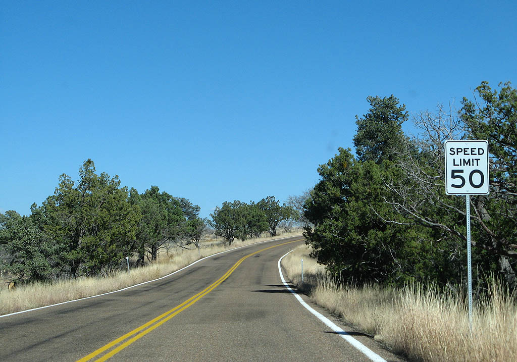
| As we continue north, we enter Four Bar Mesa. This short section of U.S. Highway 191 is relatively straight, and has a speed limit of (whopping) 50 MPH. This is where the proposed 1968 reroute would rejoin U.S. 191. 11/11/07 |
|
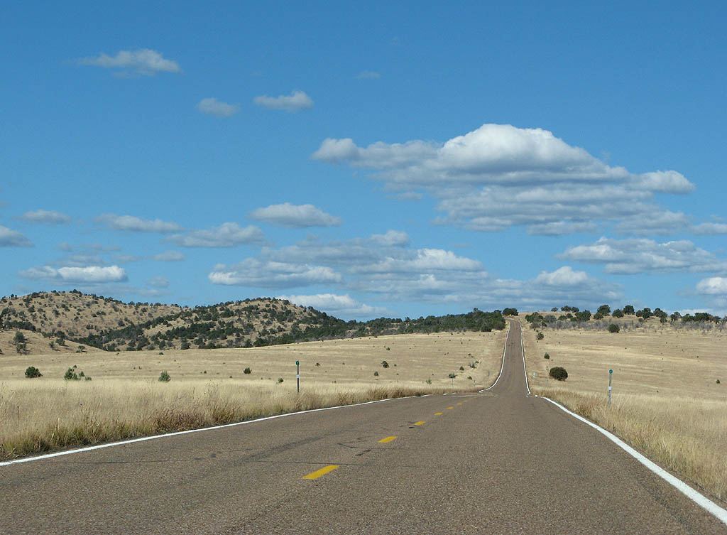
| Four Bar Mesa is a wide open grassland at approximately 6300 feet in altitude. 11/11/07 |
|
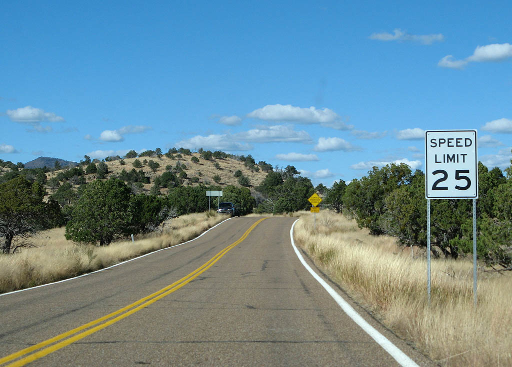
| It was nice while it lasted - the speed limit drops back to 25 MPH as we leave Four Bar Mesa. 11/11/07 |
|
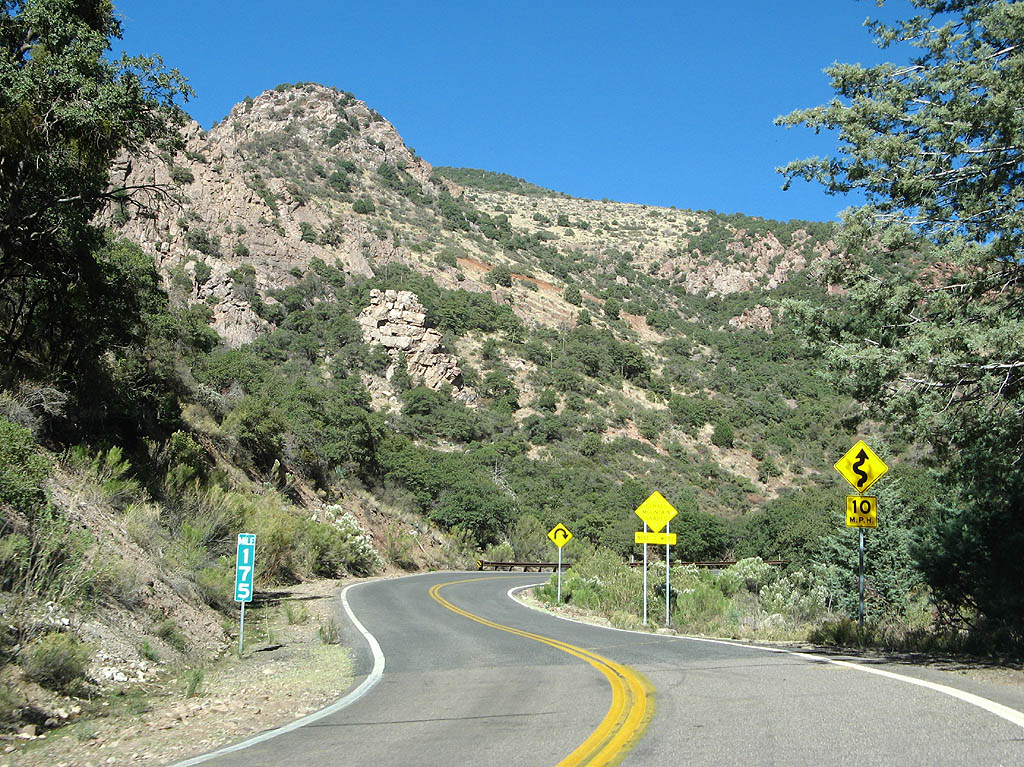
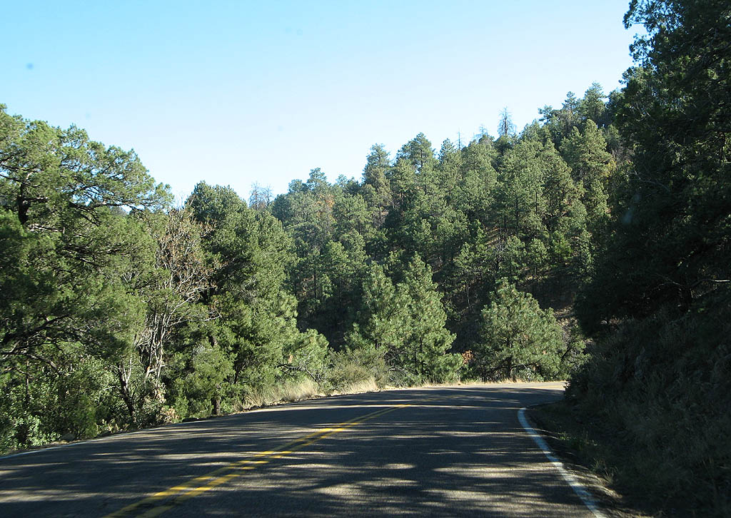
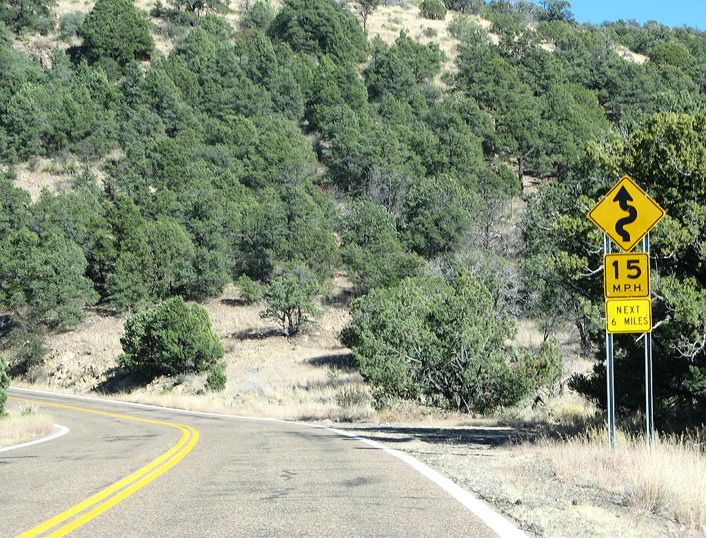
| As promised earlier, U.S. Highway 191 subjects us to another 30 miles of curves and mountain grades, all the way to Hannagan Meadow. 11/11/07 |
|
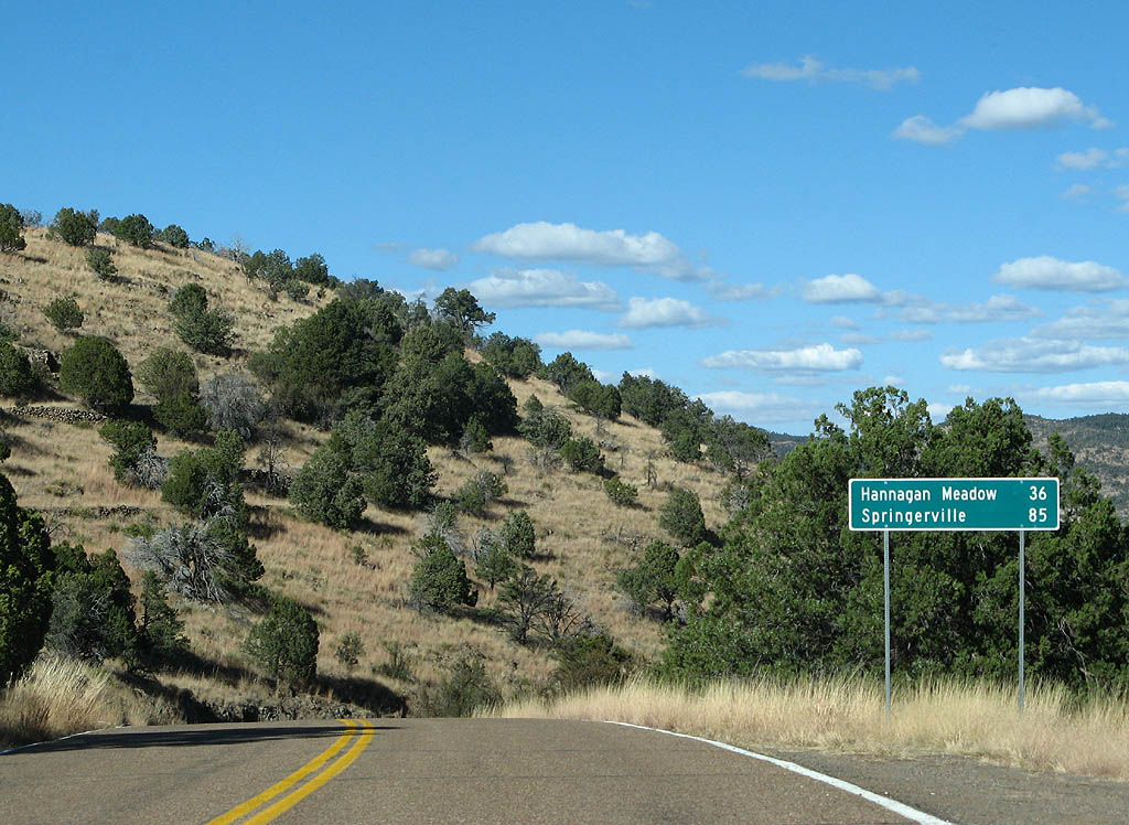
| Distance sign to Hannagan Meadow (36 miles) and Springerville (85 miles). 11/11/07 |
|
| U.S. Highway 191 meets Forest Route 515 here. 11/11/07 |
|
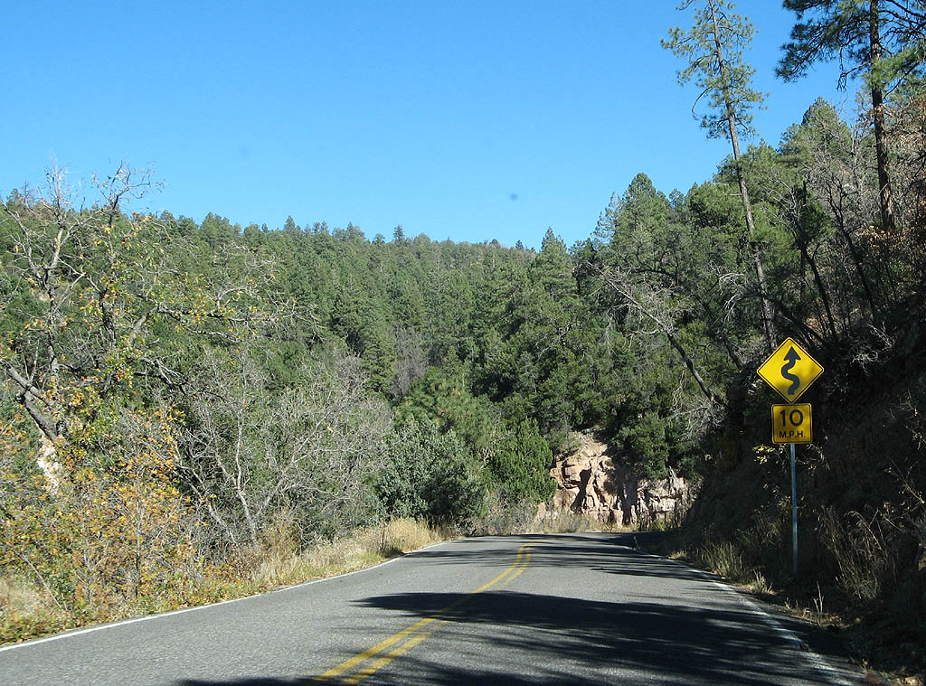
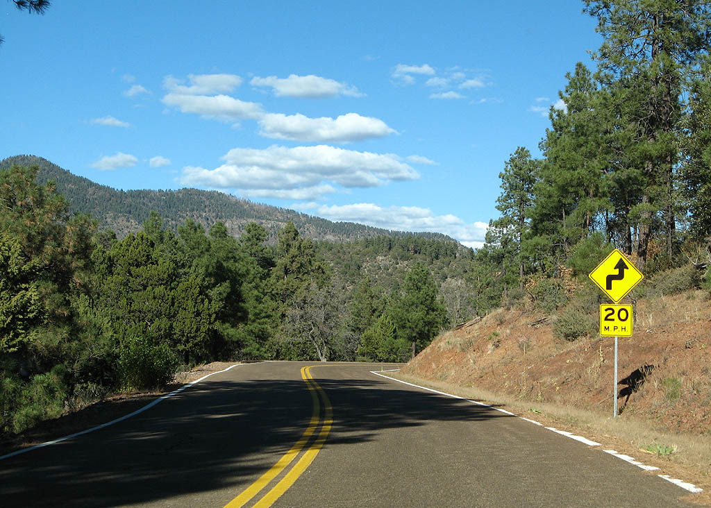
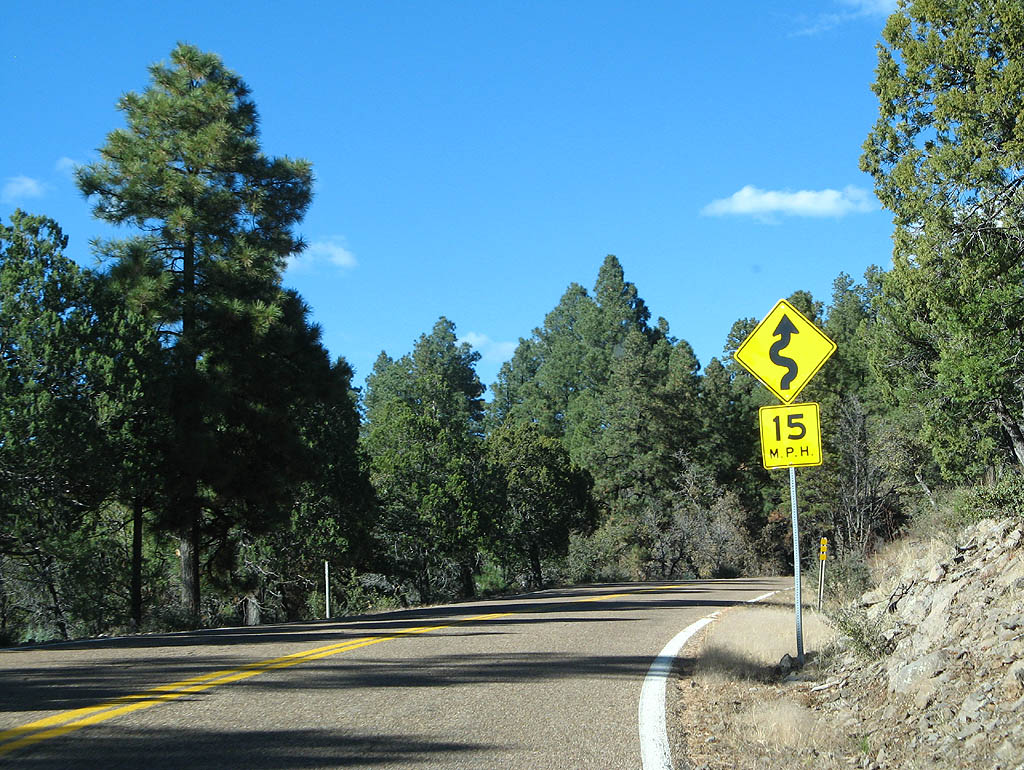
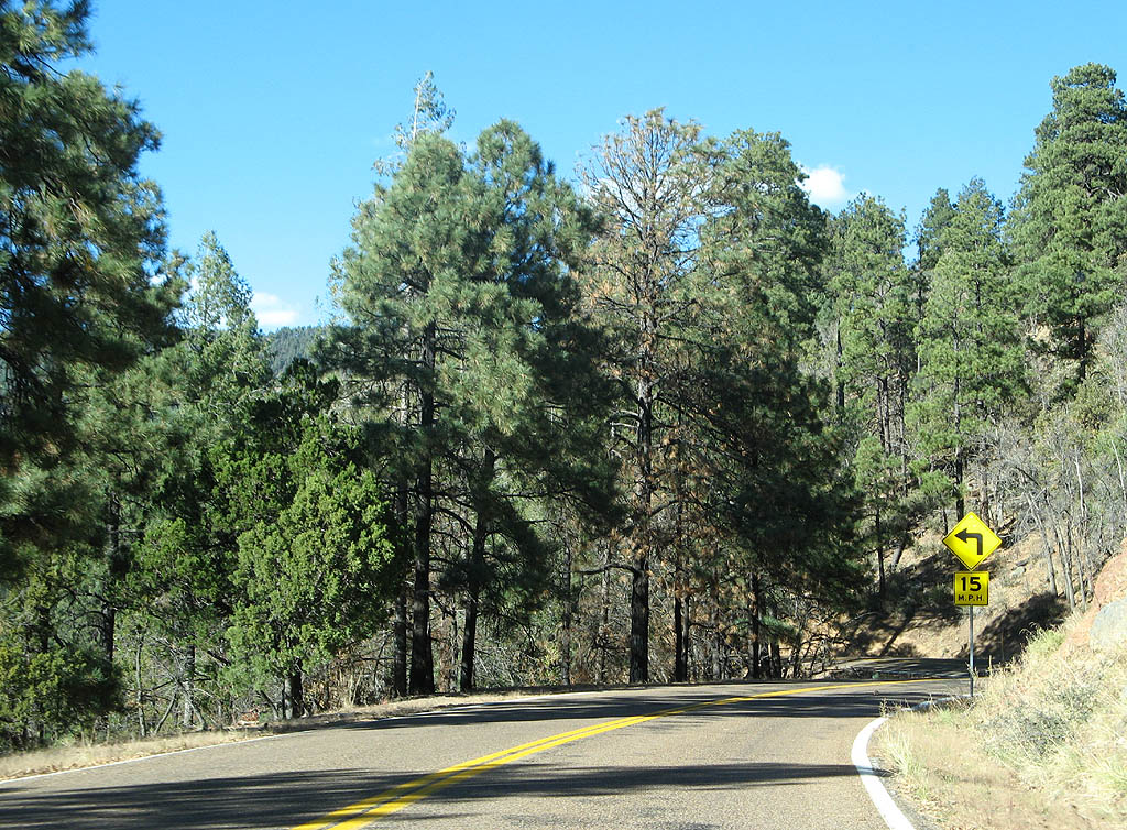
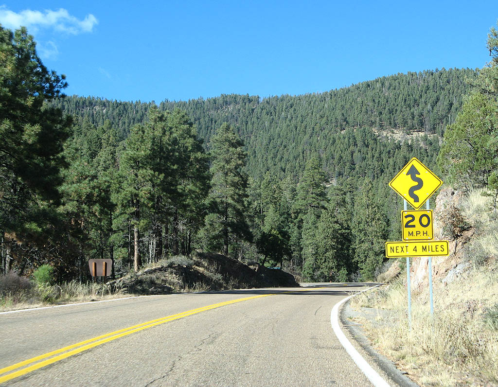
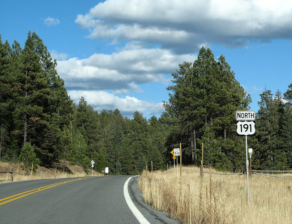
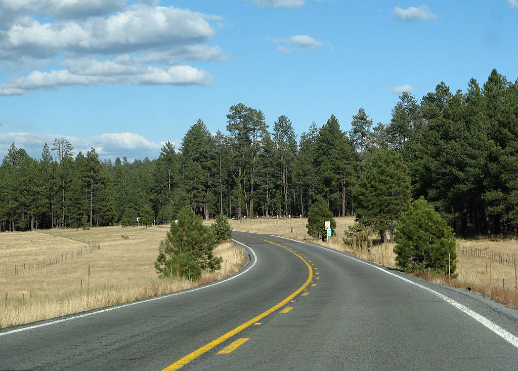
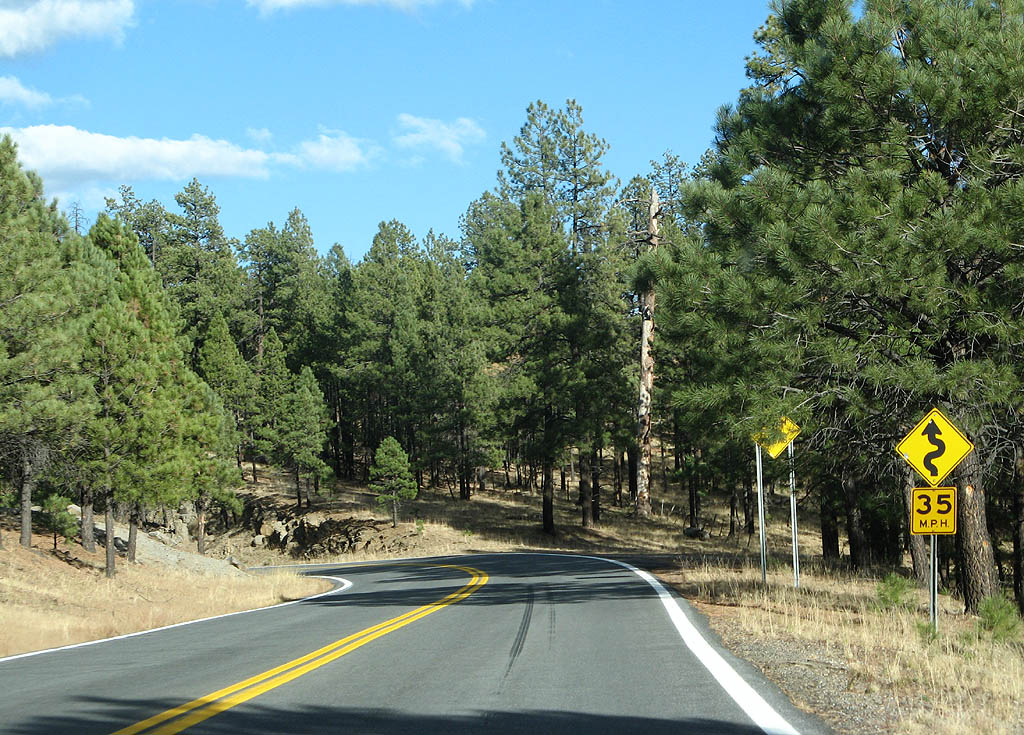
| U.S. Highway 191 follows the drainage divide between the Eagle Creek and Blue River drainage. Notice how Arizona does not even sign individual curves on this road, but gives us a 15 MPH curve warning for the next six miles. 11/11/07 |
|
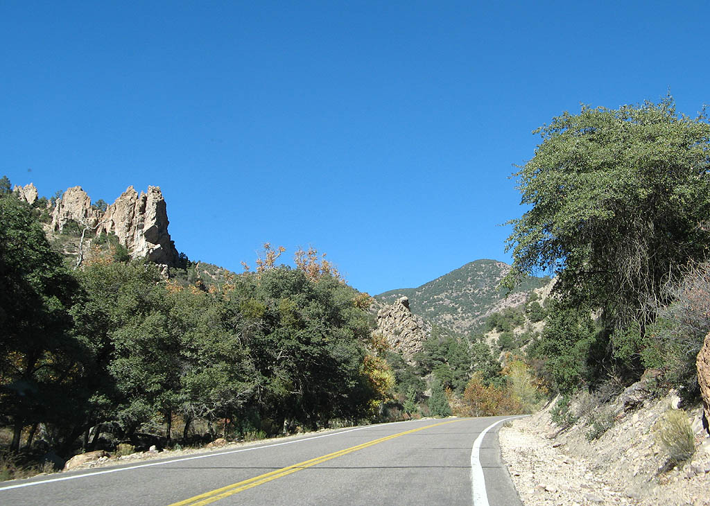
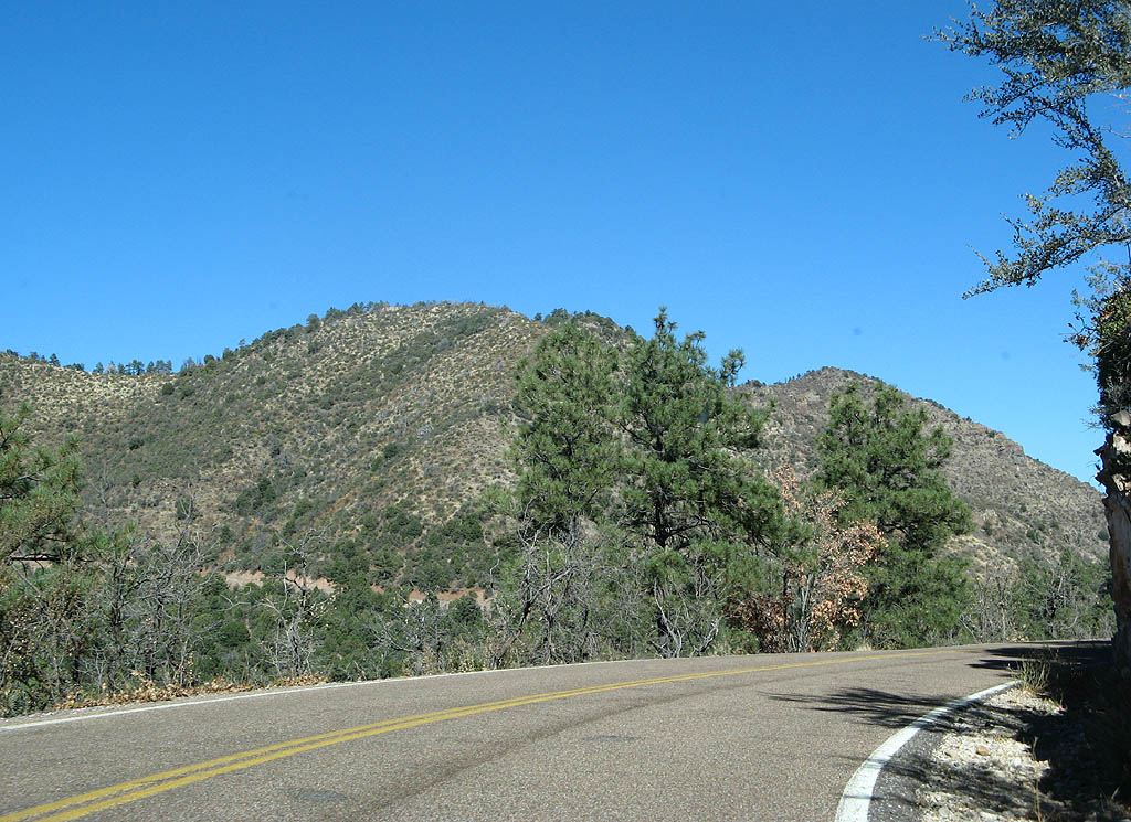
| Many of the hills along U.S. Highway 191, like this one, are unnamed. This makes it quite hard to write about the over 100 pictures on this page! 11/11/07 |
|
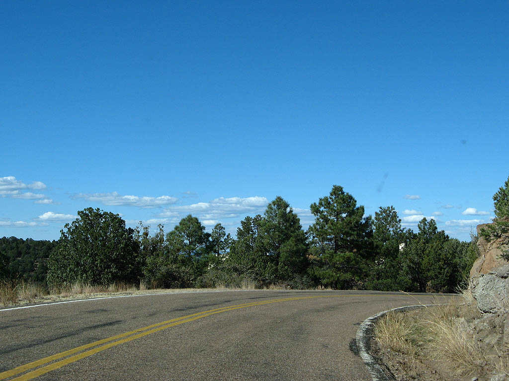
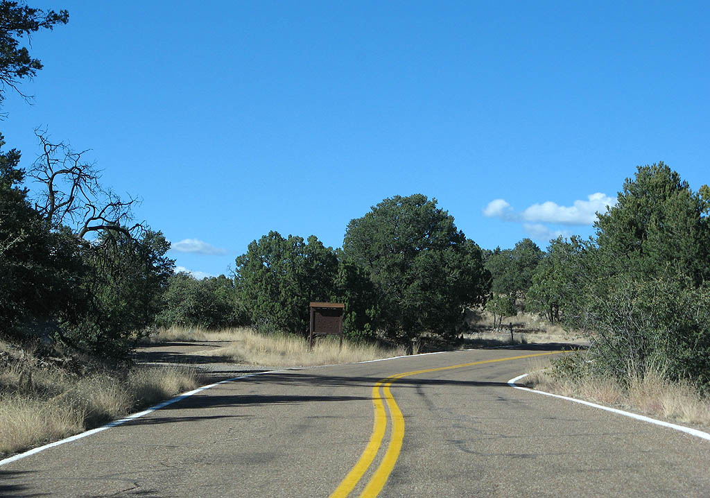
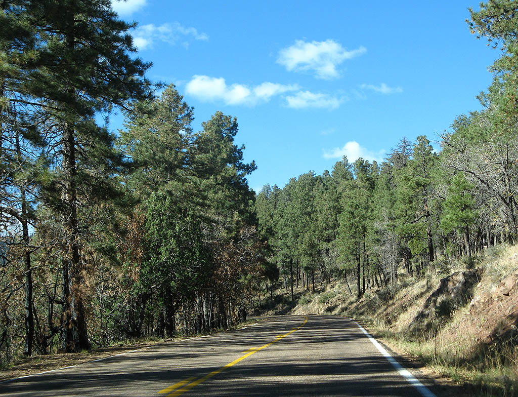
| Occasionally, U.S. Highway 191 enters open flats. 11/11/07 |
|
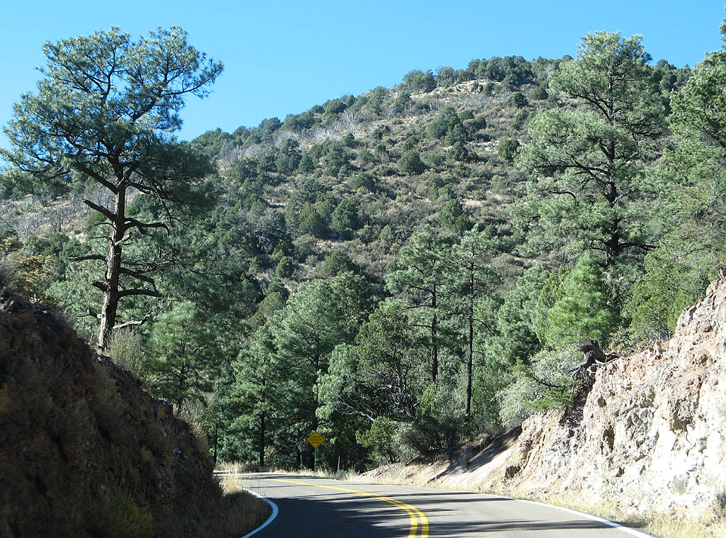
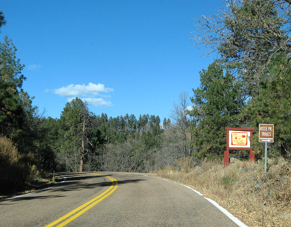
| U.S. Highway 191 winds around Rose Peak, passing Hogtrail Saddle and another old alignment. 11/11/07 |
|
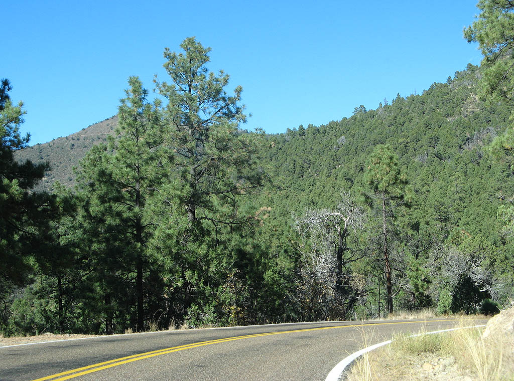
| U.S. Highway 191 winds around the headwaters of Bear Canyon and assorted tributaries. 11/11/07 |
|
| Rose Peak is an 8776 foot tall mountain, with a fire lookout atop the peak. 11/11/07 |
|
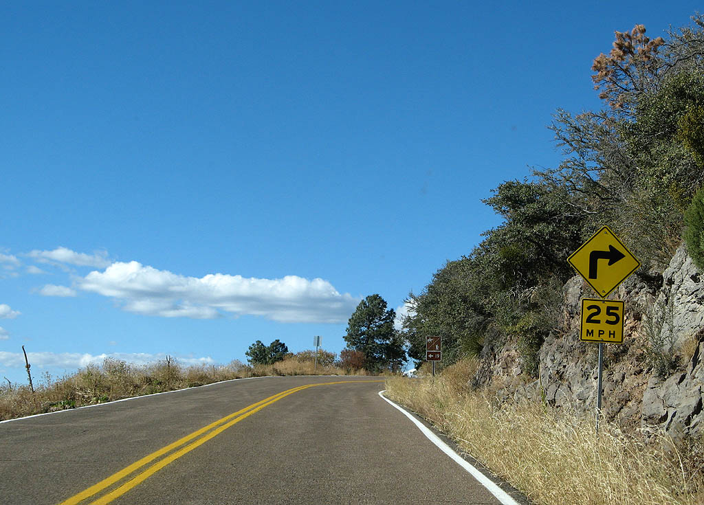
| U.S. Highway 191 has some sharp turns around Rose Peak, like this one. The trail junction ahead is the Bear Spring Trail, Forest Service Trail 19. 11/11/07 |
|
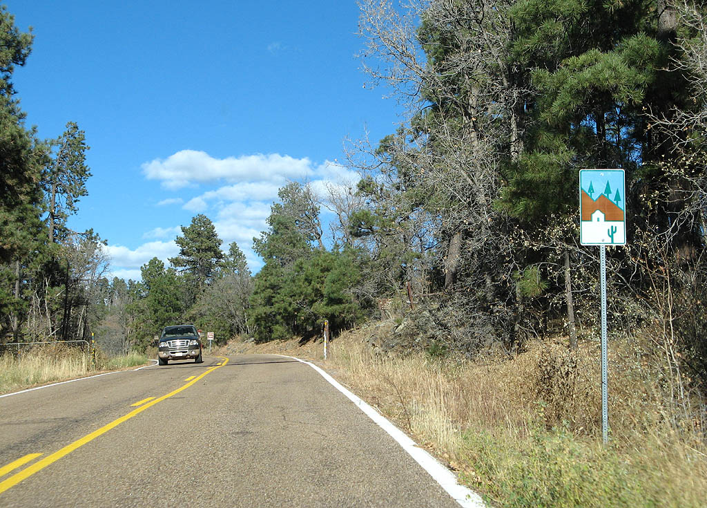
| U.S. Highway 191 is a designated scenic route, as marked by this reassurance marker. 11/11/07 |
|
| U.S. Highway 191 is at approximately 8200 feet as it crosses the extended north saddle of Rose Peak. Turn here for the Strayhorse Canyon Trail, Forest Service Trail #20. 11/11/07 |
|
| U.S. Highway 191 descends around the north side of Rose Peak as it passes above the headwaters of Strayhorse Creek. 11/11/07 |
|
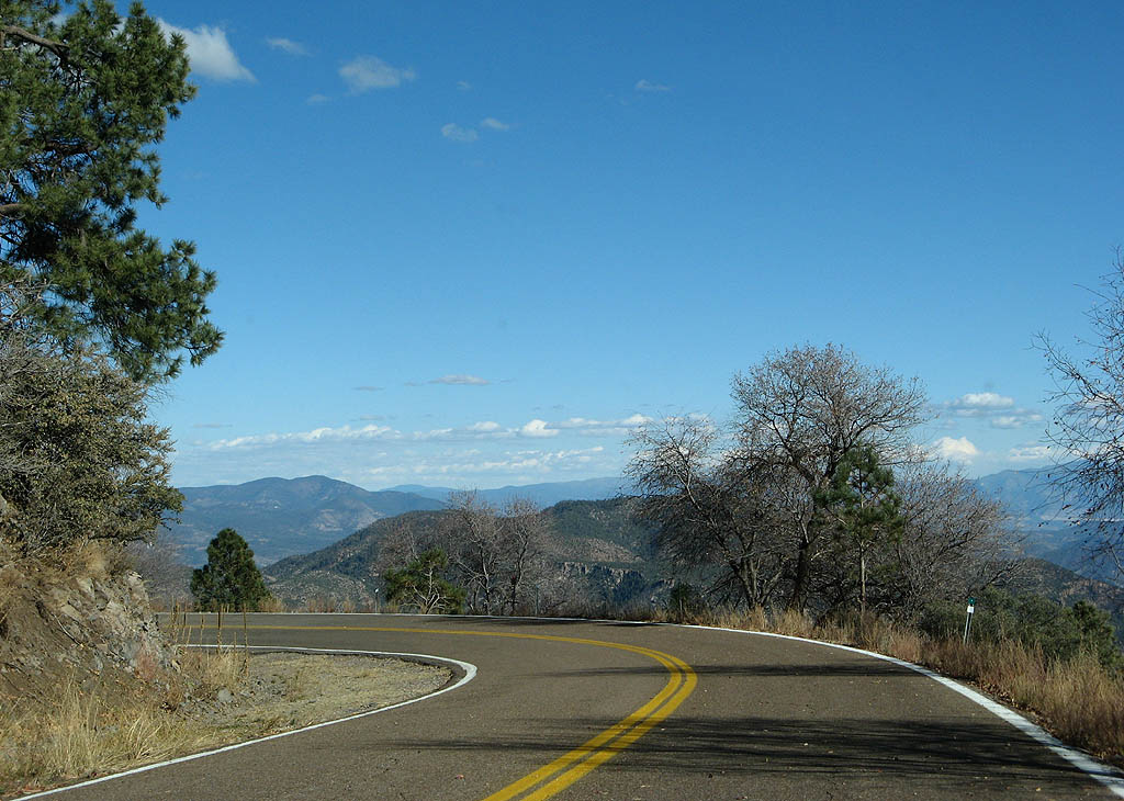
| U.S. Highway 191 offers views across the Blue Ridge Primitive Area of the Apache National Forest. 11/11/07 |
|
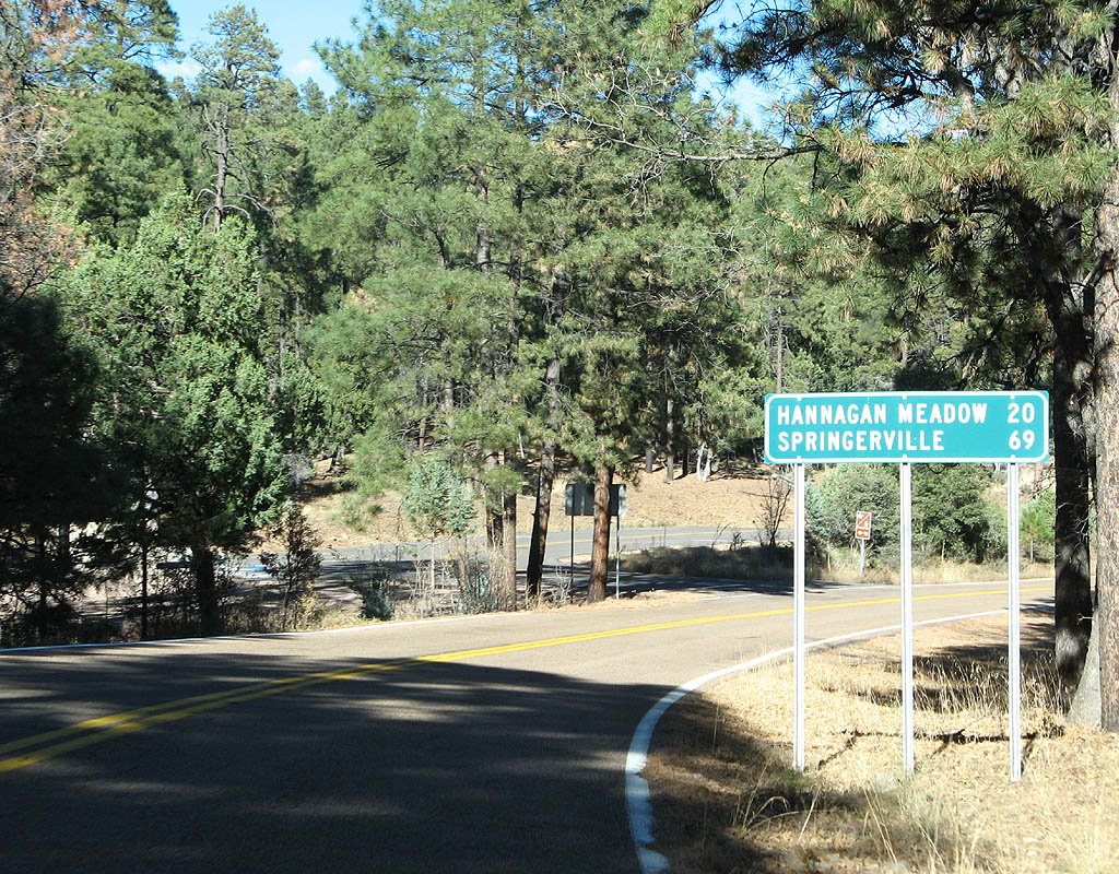
| Distance sign to Hannagan Meadow (20 miles) and Springerville (69 miles). U.S. Highway 191 crosses Sheep Saddle. 11/11/07 |
|
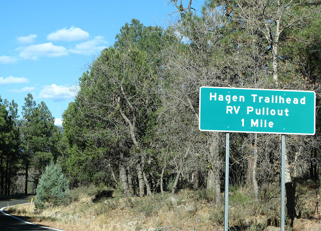
| Advance signage for the Hagen Trailhead and RV Pullout, 1 mile. 11/11/07 |
|
| U.S. Highway 191 crosses Strayhorse Divide and straightens out for a short distance. 11/11/07 |
|
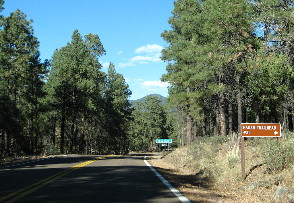
| Turn right for the Hagen Trailhead, Forest Trail #31. Use this trail to descend into Strayhorse canyon. 11/11/07 |
|
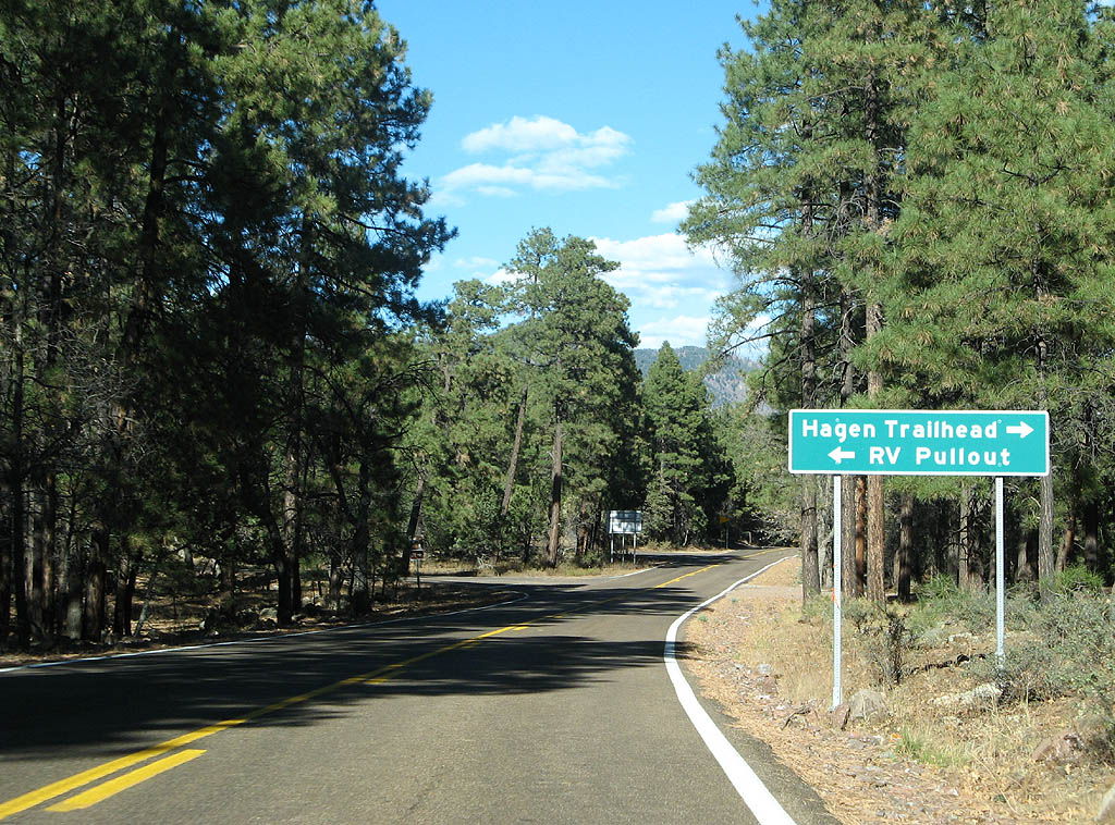
| Turn right for the Hagen Trailhead, or turn left for the RV Pullout. At this point, the 40 foot truck restriction is lifted. 11/11/07 |
|
| After leaving Strayhorse Divide, we continue twisting and turning. 11/11/07 |
|
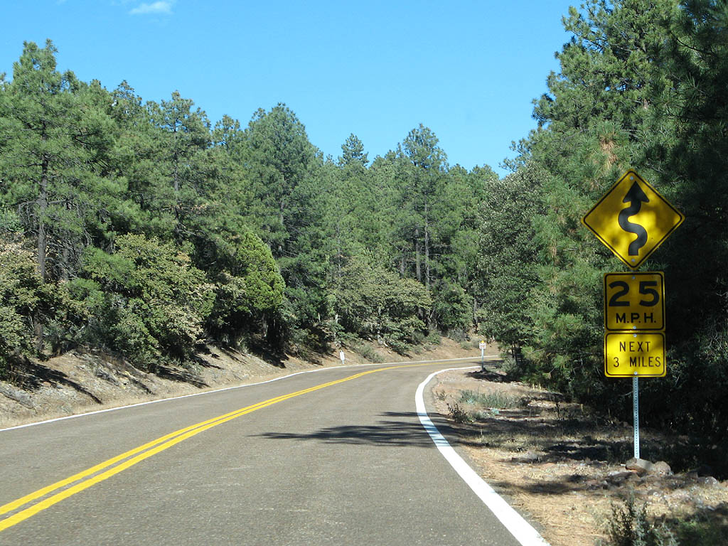
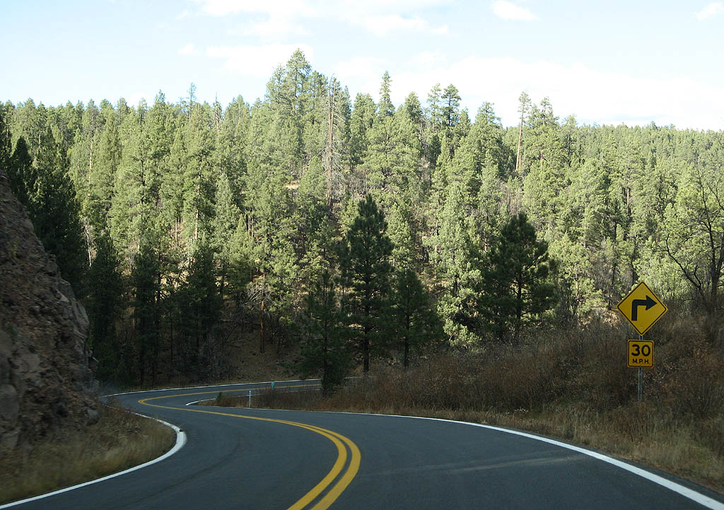
| U.S. Highway 191 has many sharp turns, and no guardrails. 11/11/07 |
|
| Do you detect a trend with the curves on U.S. Highway 191? 11/11/07 |
|
| U.S. Highway 191 is now twisting above the headwaters of Eagle Creek. 11/11/07 |
|
| U.S. Highway 191 stays below Blue Peak, staying between Raspberry Creek and Eagle Creek. 11/11/07 |
|
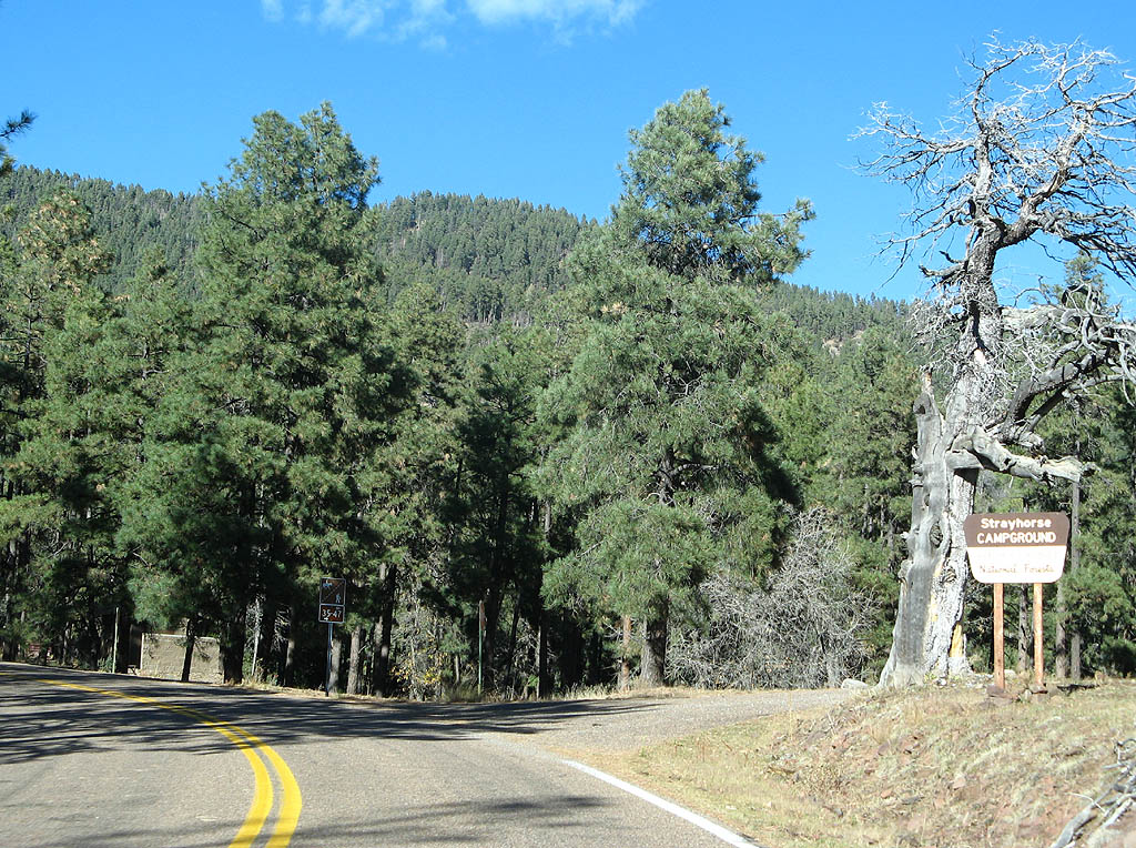
| U.S. Highway 191 passes Strayhorse Campground, at an elevation of 7780 feet. 11/11/07 |
|
| U.S. Highway 191 now climbs around Blue Peak, gradually gaining in elevation as it twists around the slopes of the mountain, staying above Eagle Creek below. 11/11/07 |
|
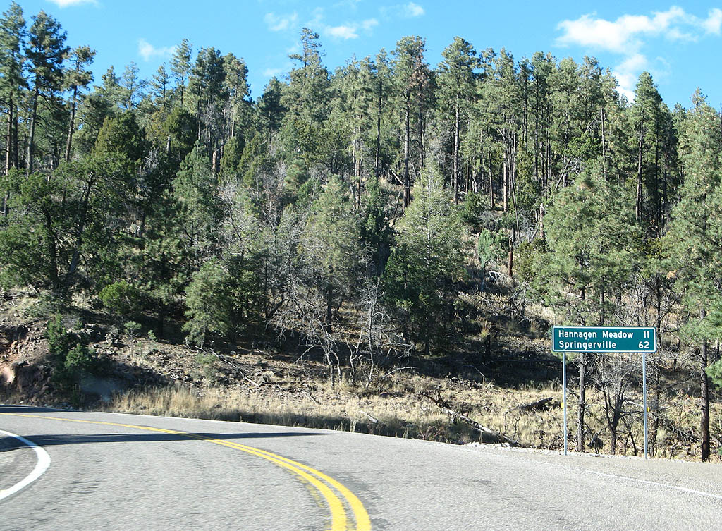
| Distance sign to Hannagan Meadow (11 miles) and Springerville (62 miles). 11/11/07 |
|
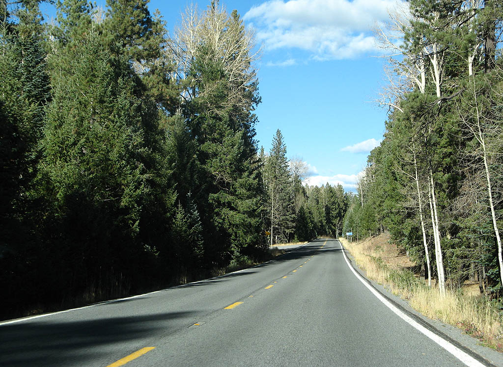
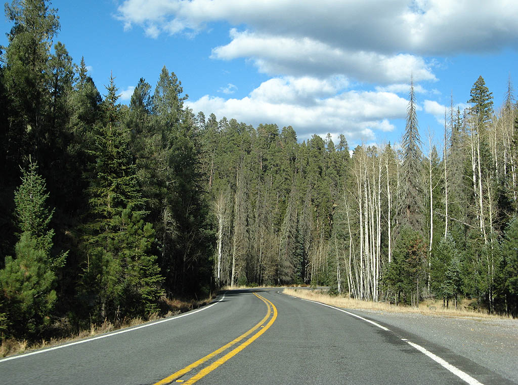
| As U.S. Highway 191 climbs up to the Mogollon Rim, it passes the 9100 foot level and enters Aspen forests. 11/11/07 |
|
| U.S. Highway 191 is now atop the Mogollon Rim, the most prominent geological feature in Northern Arizona. 11/11/07 |
|
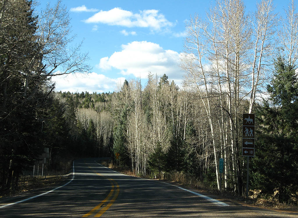
| U.S. Highway 191 meets the Blue Vista picnic area here. The picnic area is at an elevation of 9210 feet, along what is known as the Salt benchmark by USGS. 11/11/07 |
|
| The Salthouse
Trail, also called Forest Service Trail 18, descends
down Horse Creek. 11/11/07 |
|
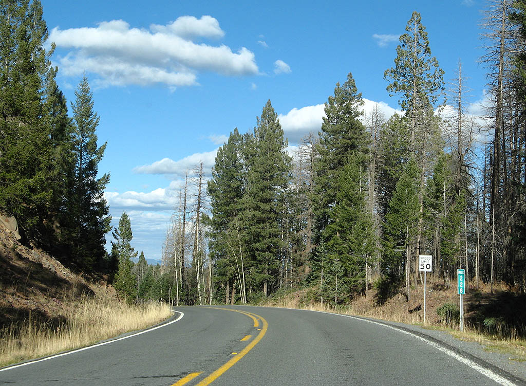
| U.S. Highway 191 at mile marker 226. This section of highway sees an average of 70 cars per day (2006 traffic data) - yes, only 70, making this the least trafficked state highway in Arizona. 11/11/07 |
|
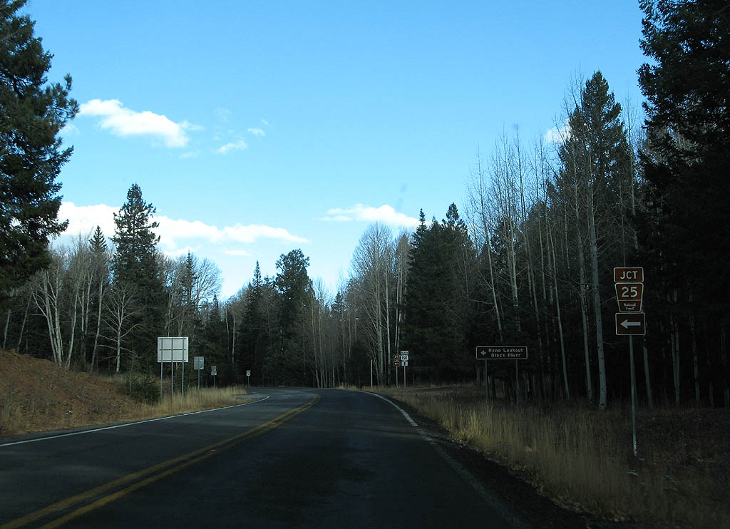
| Advance signage for Forest Service Road 25. 11/11/07 |
|
| Forest Service Road 25 departs here. Use FS 25 to reach the headwaters of the Black River, as well as the Reno Lookout. 11/11/07 |
|
| This is one of the few reassurance markers for U.S. Highway 191. In the background is the turnoff for KP Cienega Campground. 11/11/07 |
|
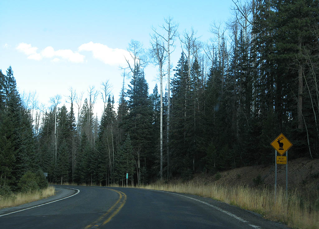
| Now crossing above the headwaters of KP Creek (at an elevation of approximately 9260 feet, the highest point along the highway), we see a warning to watch for elk. 11/11/07 |
|
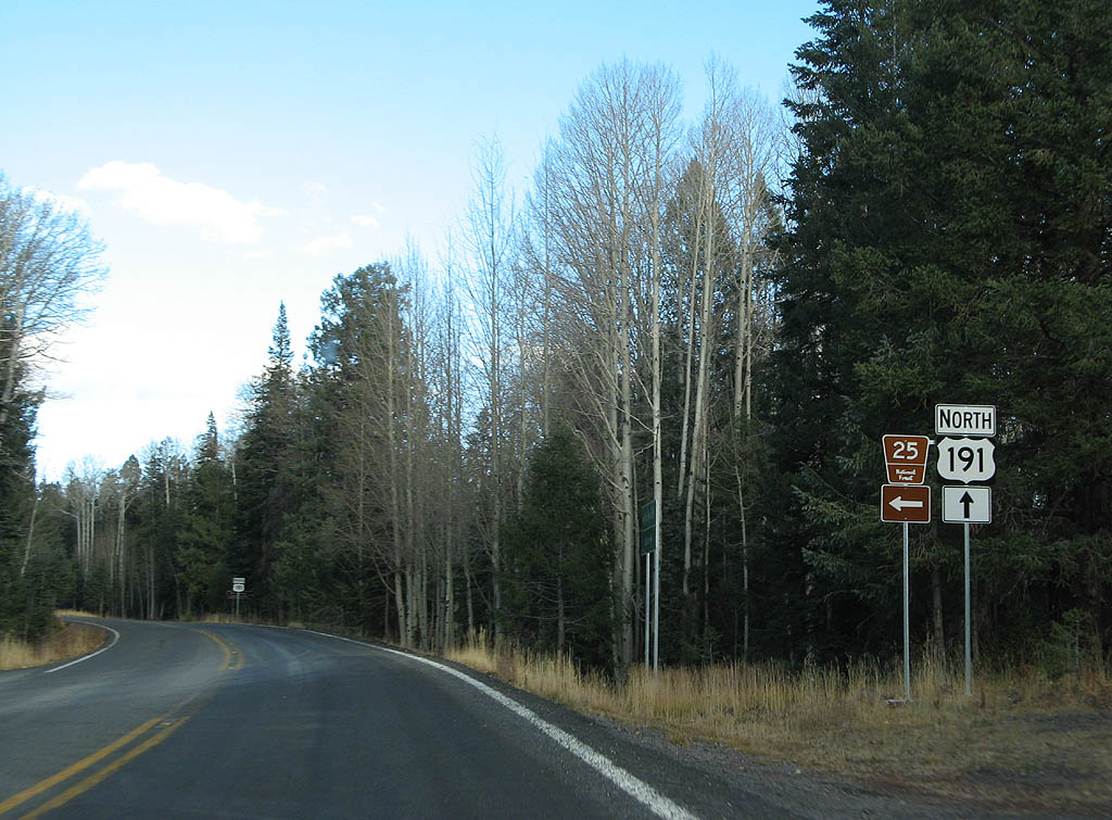
| U.S. 191 advances north to Hannagan Meadow. This section of road was rebuilt as part of the paving process in 1962, and straightened out significantly - hence the 50 MPH speed limit. 11/11/07 |
|
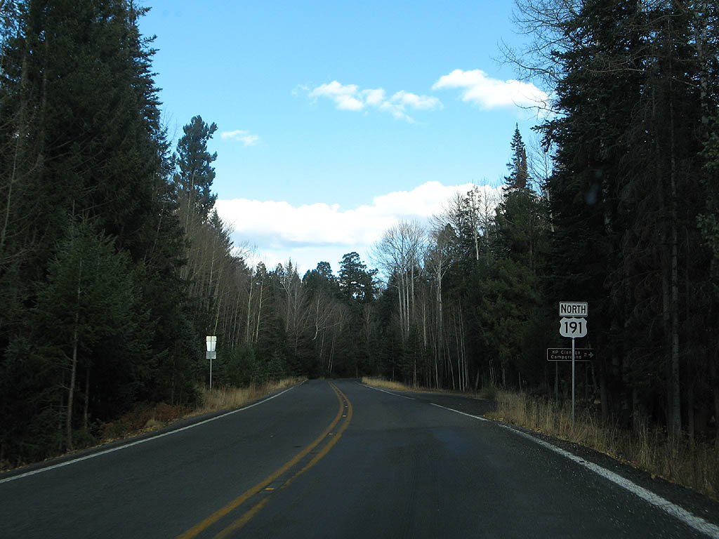
| U.S. Highway 191 descends slightly along the ridge between Fish Creek and Grant Creek. 11/11/07 |
|
| U.S. Highway 191 meets the trailhead for
Forest Service Trails 93 (North
Fork KP Trail) and 315 (KP
Rim Trail) here. 11/11/07 |
|
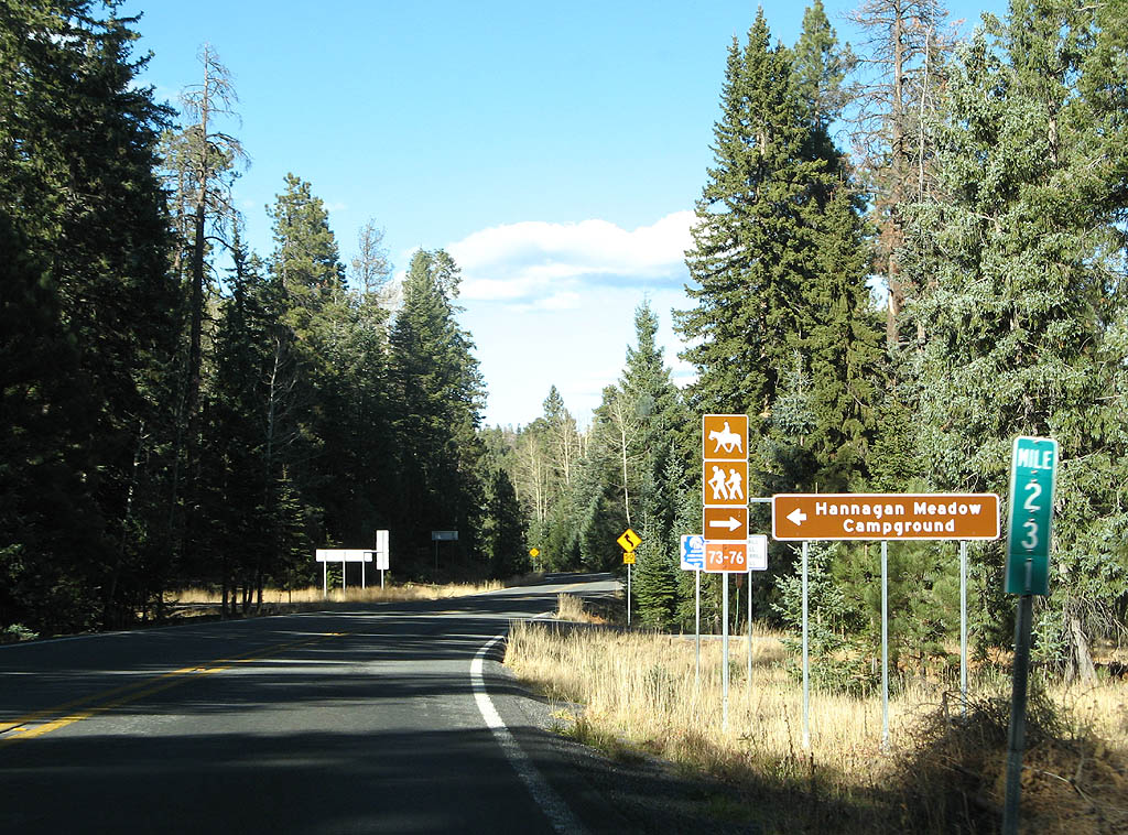
| U.S. Highway 191 meets the Hannagan
Campground, as well as Forest Service Trails 73 (Steeple
Mesa Trail) and 76 (Foote
Creek Trail) here. 11/11/07 |
|
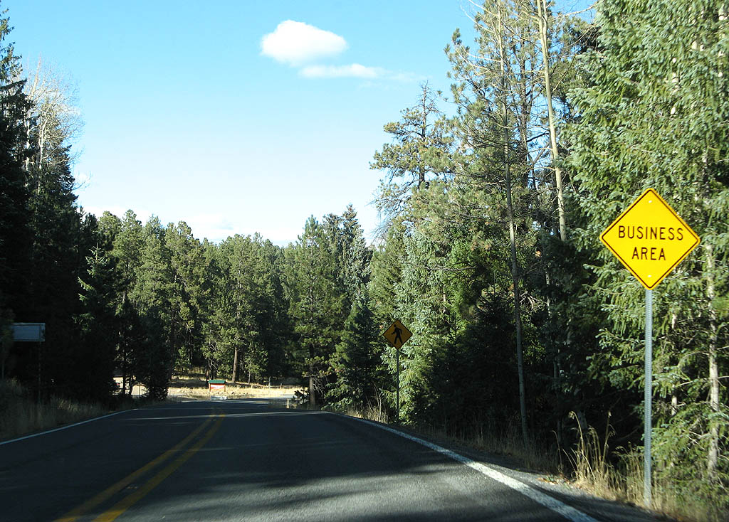
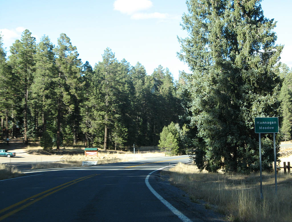
| On this road, the one upcoming business is a major one! U.S. Highway 191 is seen approaching Hannagan Meadow, the only business located along the Coronado Trail. 11/11/07 |
|
| Hannagan
Meadow is a small lodge that is popular in the summertime.
The lodge dates back to 1926 when the first celebrations
for the then-dirt road's completion occurred. At this
celebration, Governor W.P. Hunt gave the road the name
"Coronado Trail", which is still used today. 11/11/07 |
|
| A reassurance marker is seen just after passing Hannagan Meadow, one of the few we have seen in the last 71 miles since Clifton. 11/11/07 |
|
| U.S. Highway 191 now parallels Hannagan Creek and starts a descent. 11/11/07 |
|
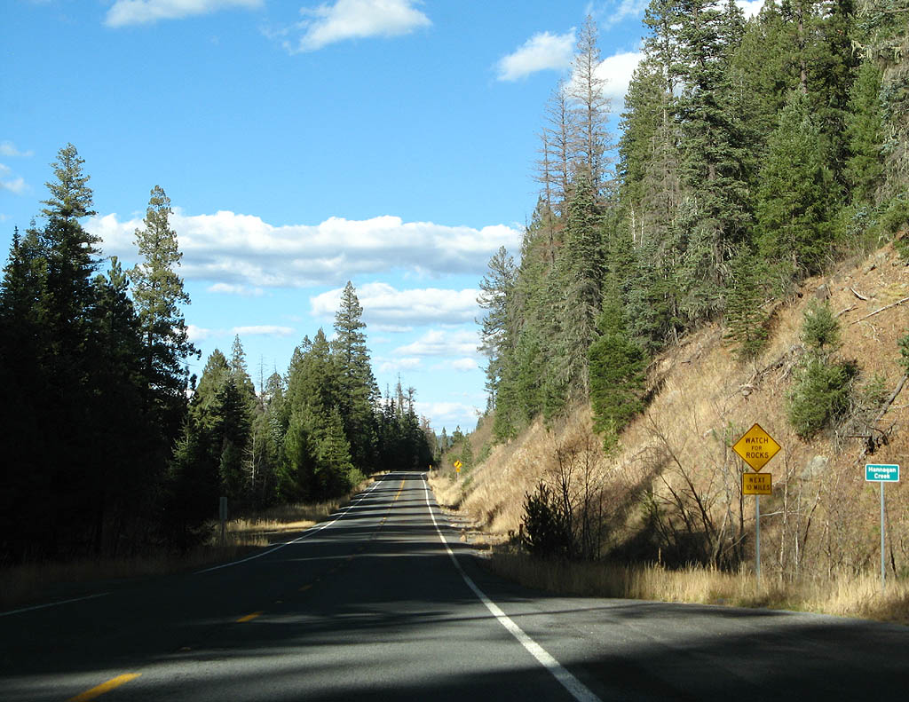
| U.S. Highway 191 is cut into the sidewall of Hannagan Creek, and crosses the creek here. Notice the warning to watch for rocks for the next 10 miles. 11/11/07 |
|
| U.S. Highway 191 leaves Hannagan Creek and travels northeast to cross the headwaters of Beaver Creek. 11/11/07 |
|
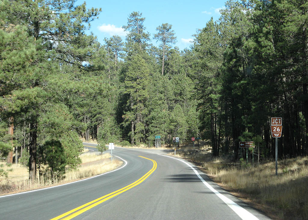
| Advance signage for FS Road 26. Use FS Road 26 to reach Buffalo Crossing. 11/11/07 |
|
| FS Road 26 departs from U.S. Highway 191 here. 11/11/07 |
|
| U.S. Highway 191 curves around the headwaters of Castle Creek here. 11/11/07 |
|
| U.S. Highway 191 now travels up and around Middle Mountain. 11/11/07 |
|
| U.S. Highway 191 snakes between several creeks - this time traveling around Blue Creek. 11/11/07 |
|
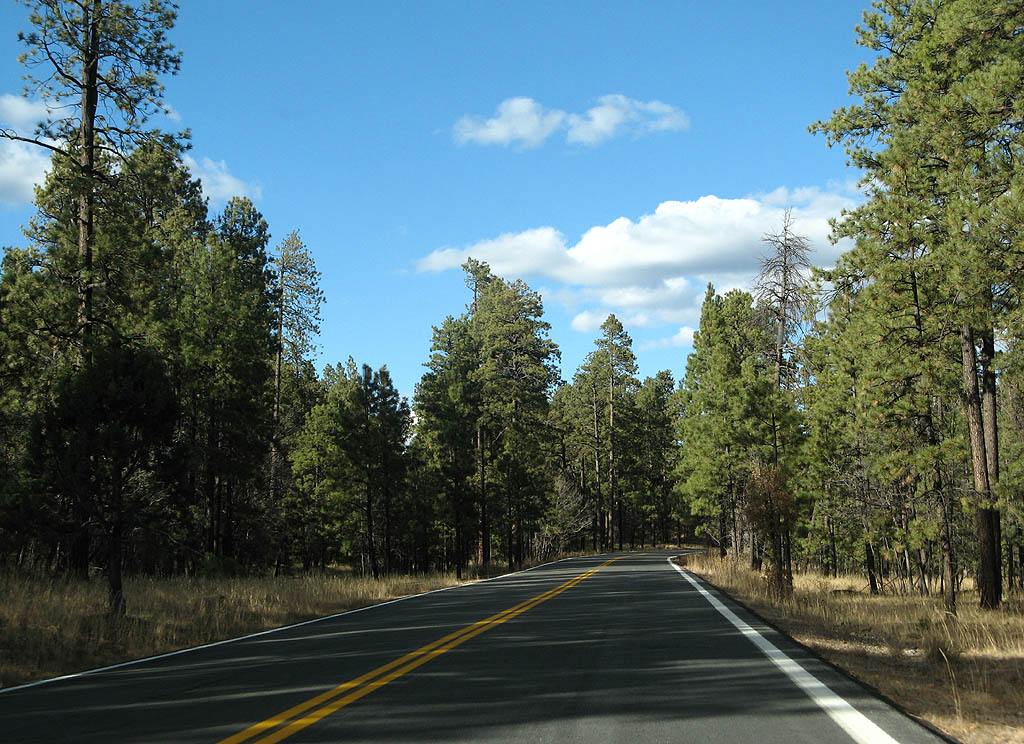
| U.S. Highway 191 remains a scenic road to Alpine. 11/11/07 |
|
| For the next round of descent, U.S. Highway 191 follows Coleman Creek into Alpine, with a steep descent. 11/11/07 |
|
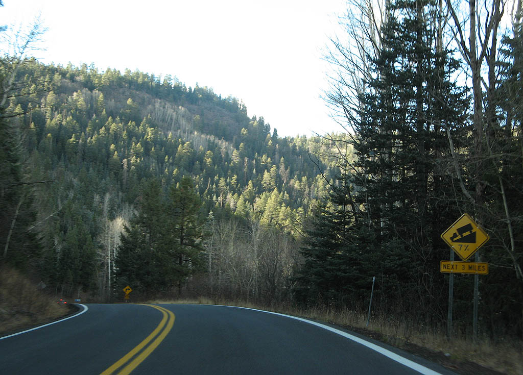
| U.S. Highway 191 has a 7% descent rate for the three miles into Alpine. 11/11/07 |
|
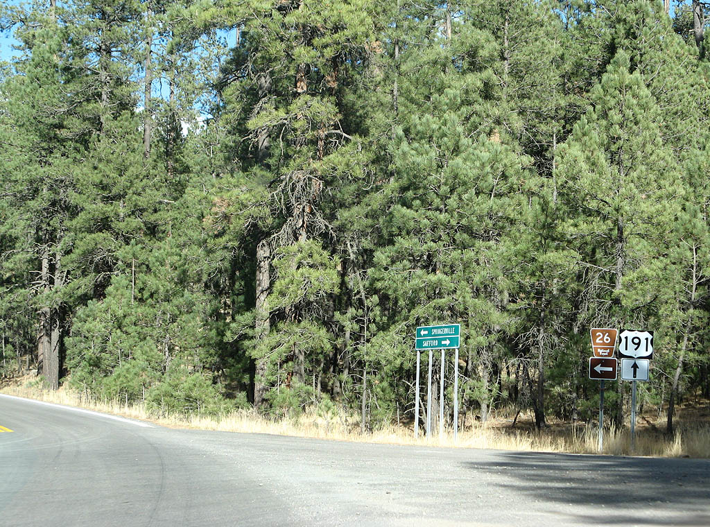
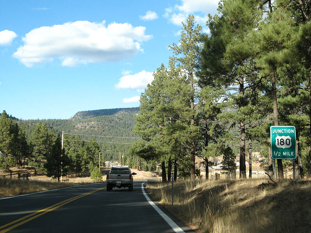
| Advance signage for U.S. Highway 180, 1/2 mile. 11/11/07 |
|
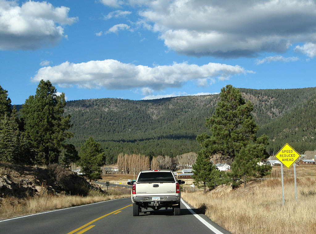
| As we enter the valley of the San Francisco River (the same one in Clifton), we slow down to approach Alpine. 11/11/07 |
|
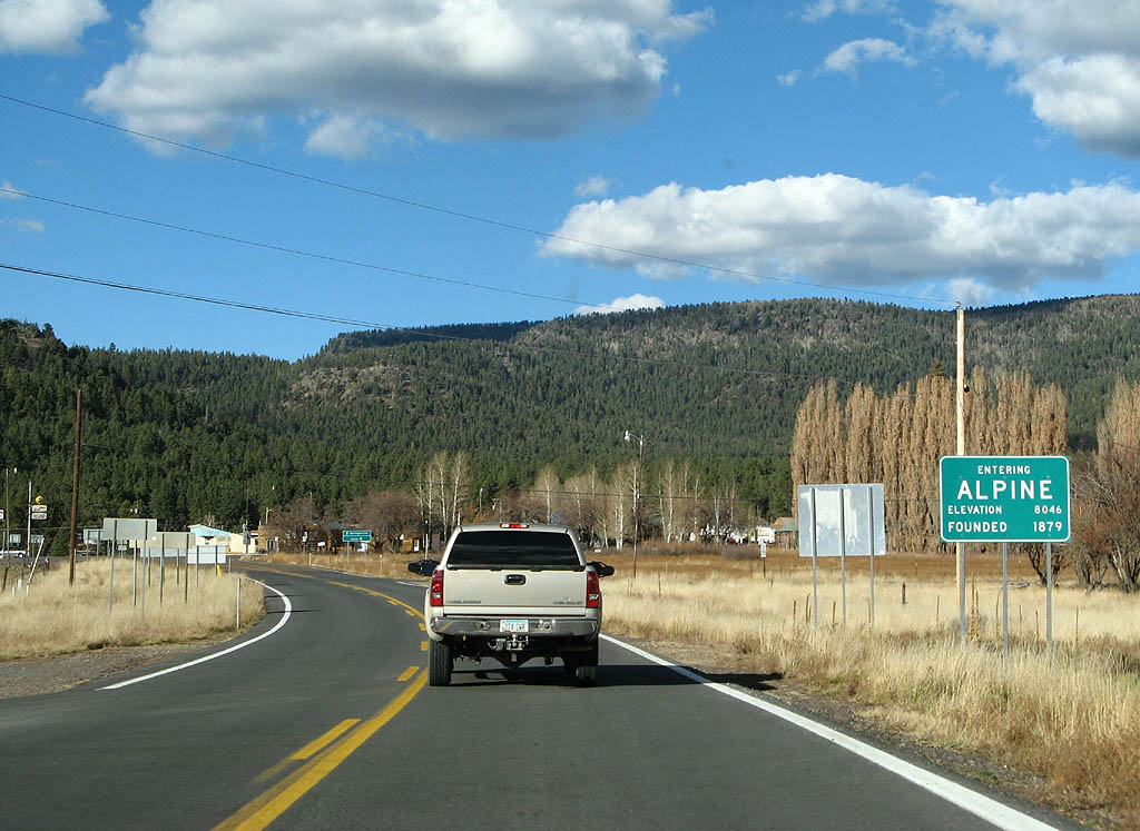
| U.S. Highway 191 enters the town of Alpine here. Alpine is a small community located at the junction of U.S. Highways 180 and 191, and was founded in 1880 by Mormon missionaries. The town was named for the altitude it sits (8000 feet). 11/11/07 |
Page Updated 06-21-2008.


 North
North