|
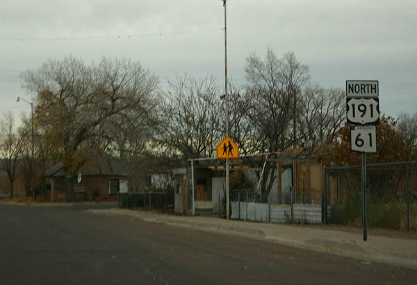
| Confirming markers at Commercial and Water Street in St. Johns. SR 61 and US 191 combine for 29 miles north from U.S. 180. 11/11/06 |
|
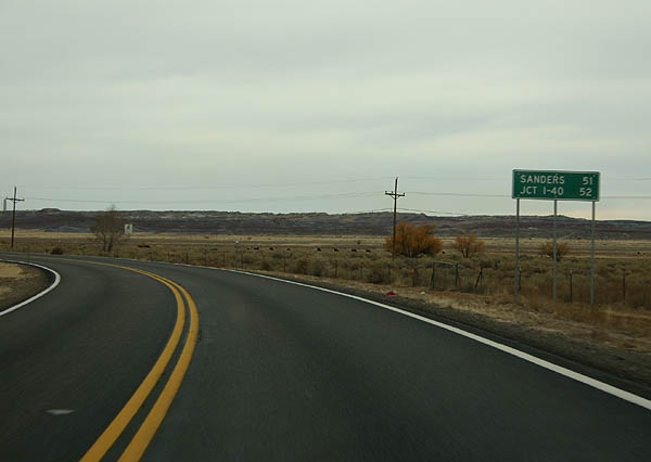
| Turning north parallel to the Little Colorado River, U.S. 191/SR 61 venture into the Badlands. Sanders, located along I-40, lies beyond their separation in 51 miles. 11/11/06 |
|
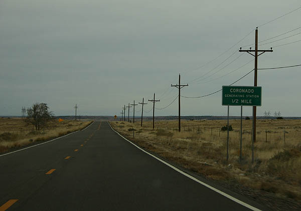
| Approaching the access road for the Coronado Generating Station on U.S. 191/SR 61 north. The Coronado Generating station is a coal-fired power generation facility. Generating electricity for Phoenix, the power plant is owned by SRP and was completed in 1979-80. 11/11/06 |
|
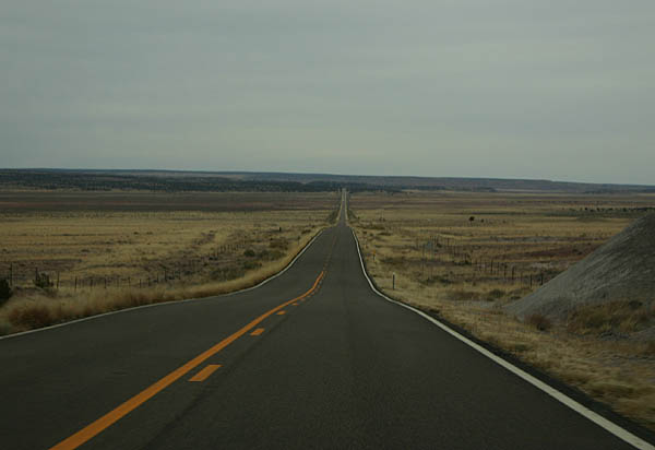
| US 191 and SR 61 continue north through grasslands and ranch country. 11/11/06 |
|
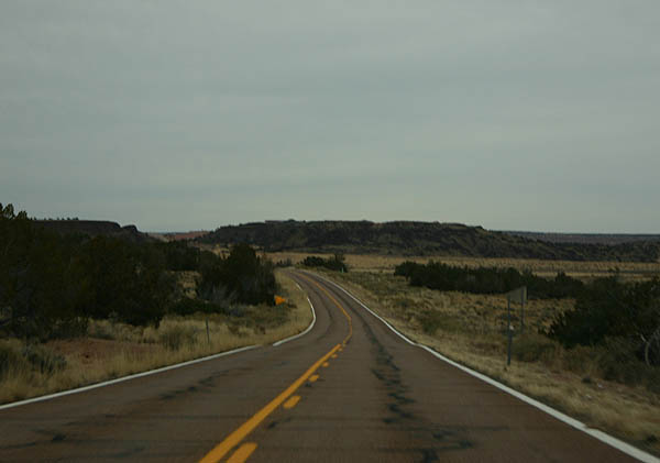
| Paralleling the dry Zuni River, US 191 and SR 61 travel through a patchwork of state, BLM and private lands. 11/11/06 |
|
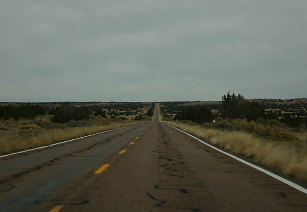
| Bee lining north, U.S. 191/SR 61 comprise a desolate road ahead of their split. 11/11/06 |
|
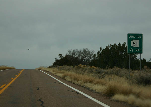
| SR 61 branches northeast from U.S. 191 in one half mile toward Zuni, New Mexico. U.S. 191 remains northward toward Sanders. 11/11/06 |
|
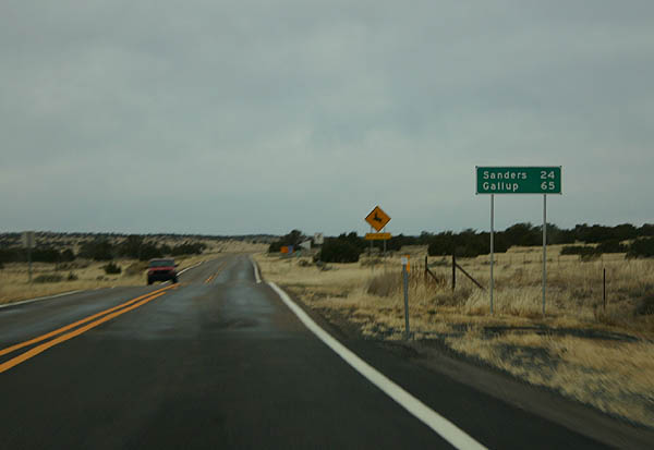
| U.S. 191 reaches Sanders 24 miles north of SR 61. Gallup, New Mexico lies 41 miles further to the east via U.S. 191 and I-40. 11/11/06 |
|
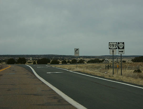
| U.S. 191 north at Indian Route 2025. 11/11/06 |
|
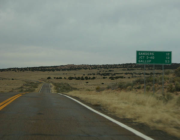
| Distance sign posted north of East Mill Road and west of Morgan Canyon. 11/11/06 |
|
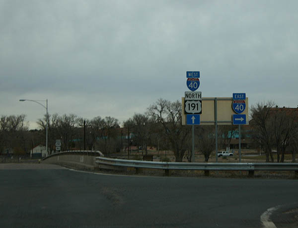
| U.S. 191 crosses the dry Puerco River north from the community of Sanders. A diamond interchange with Interstate 40 follows. 11/11/06 |
Page Updated 12-02-2007.

 North
North  East
East