There are two sections of U.S. 395 Business posted in Nevada. The Carson City route runs along Carson Street north from Fairview Drive (U.S. 50) to Interstate 580 & U.S. 395 at Arrowhead Drive. This portion is locally maintained and only signed at William Street and Fairview Drive. When I-580 opens in August 2017 from Fairview South to South Carson Street, the remainder of U.S. 395 south from Fairview Avenue on Carson Street will shift onto the freeway. South Carson Street between the U.S. 50 and 395 merge and Fairview Avenue is state maintained and designated as Nevada 529.
|
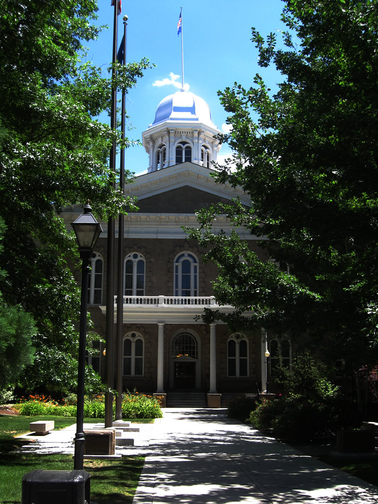
| This series of pictures shows the Nevada state capitol and adjacent grounds, which are located along U.S. 395 Business (Carson Street) south of Downtown Carson City. The Capitol was built in 1871, using a plot of land that was set aside when town planning for Carson City was underway in 1858. Additions to the Capitol were constructed in 1915. 07/19/09 |
|
| Nevada's Supreme Court building is located next to the State Capitol and is partially visible from Carson Street (U.S. 395 Business). 07/19/09 |
|
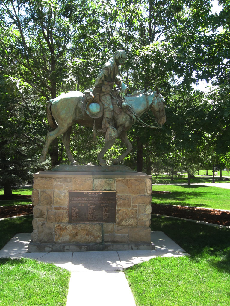
| A statue of Kit Carson -- whose name appears on plenty of geographical features such as the Carson River, Carson Valley, Carson City, Carson Range and Carson Pass -- is located on the Capitol grounds. 07/19/09 |
|
| This view looks west from the State Capitol across Carson Street (U.S. 395 Business) toward the Office of the Attorney General. 07/19/09 |
|
| The Nevada State Assembly building was built in 1971 south of the historic Capitol building. 07/19/09 |
|
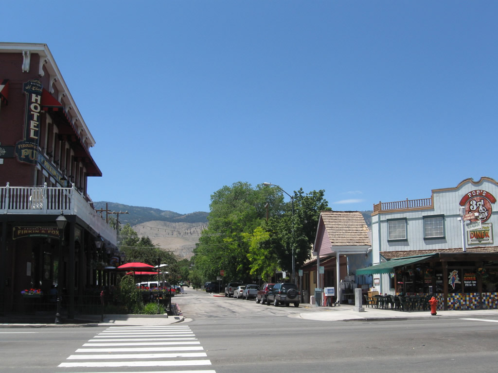
| Located on the southwest corner of Third and Carson Streets, and across from the State Capitol grounds, the St. Charles Hotel is a historic structure built in 1862 and the beneficiary today of redevelopment as a hotel and locally well known pub (Firkin & Fox). 07/19/09 |
|
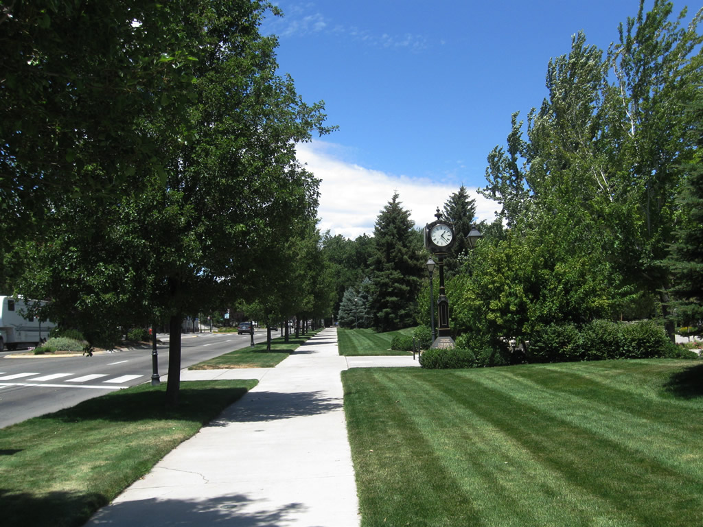
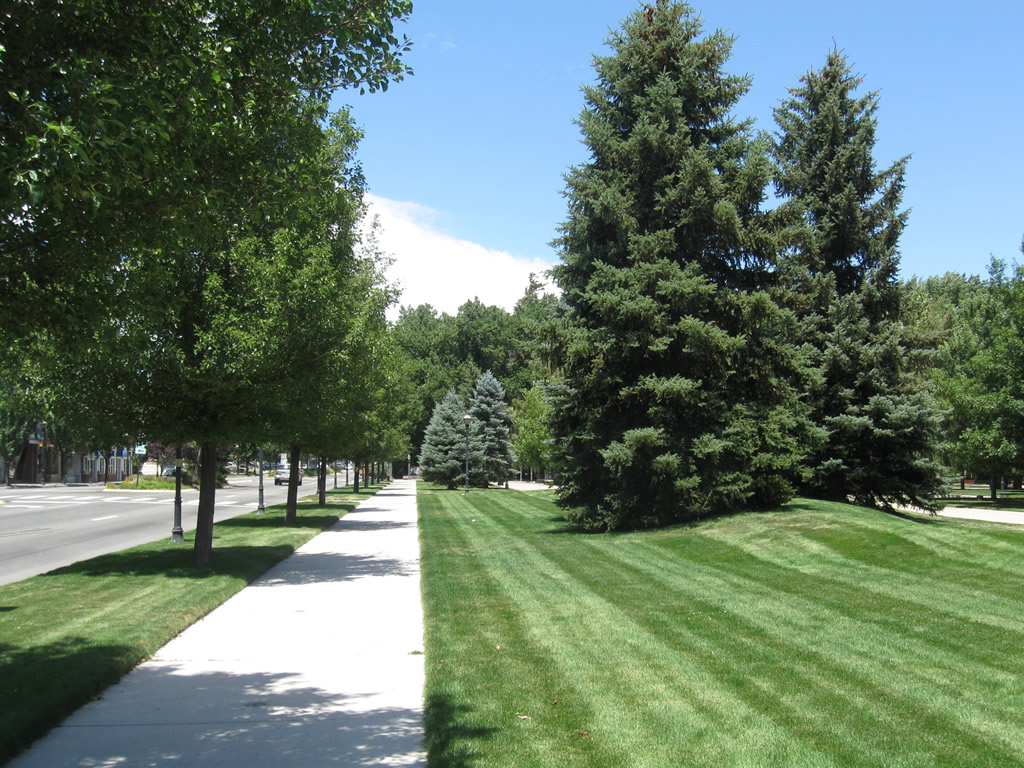
| Looking north along Carson Street (U.S. 395 Business) in the Capitol Mall area near the Nevada State Assembly building. 07/19/09 |
Page Updated 07-13-2017.