
The second batch of photos from the trip ScottB and I took to Mariposa, in the western Sierra foothills. On this day, we leave the town and head southwards, on 49 and then various county roads, before spurring off on 168 into the mountains a while.
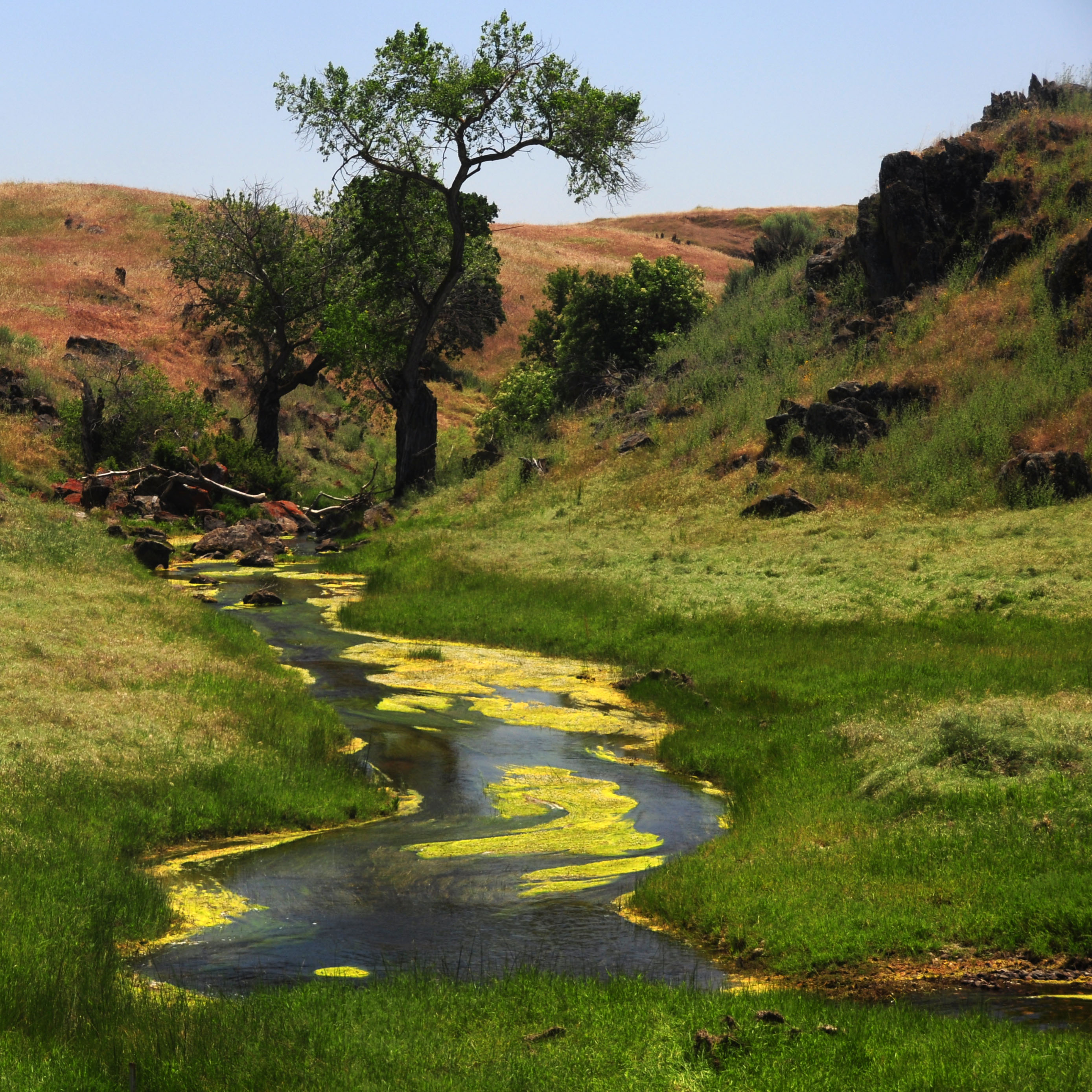
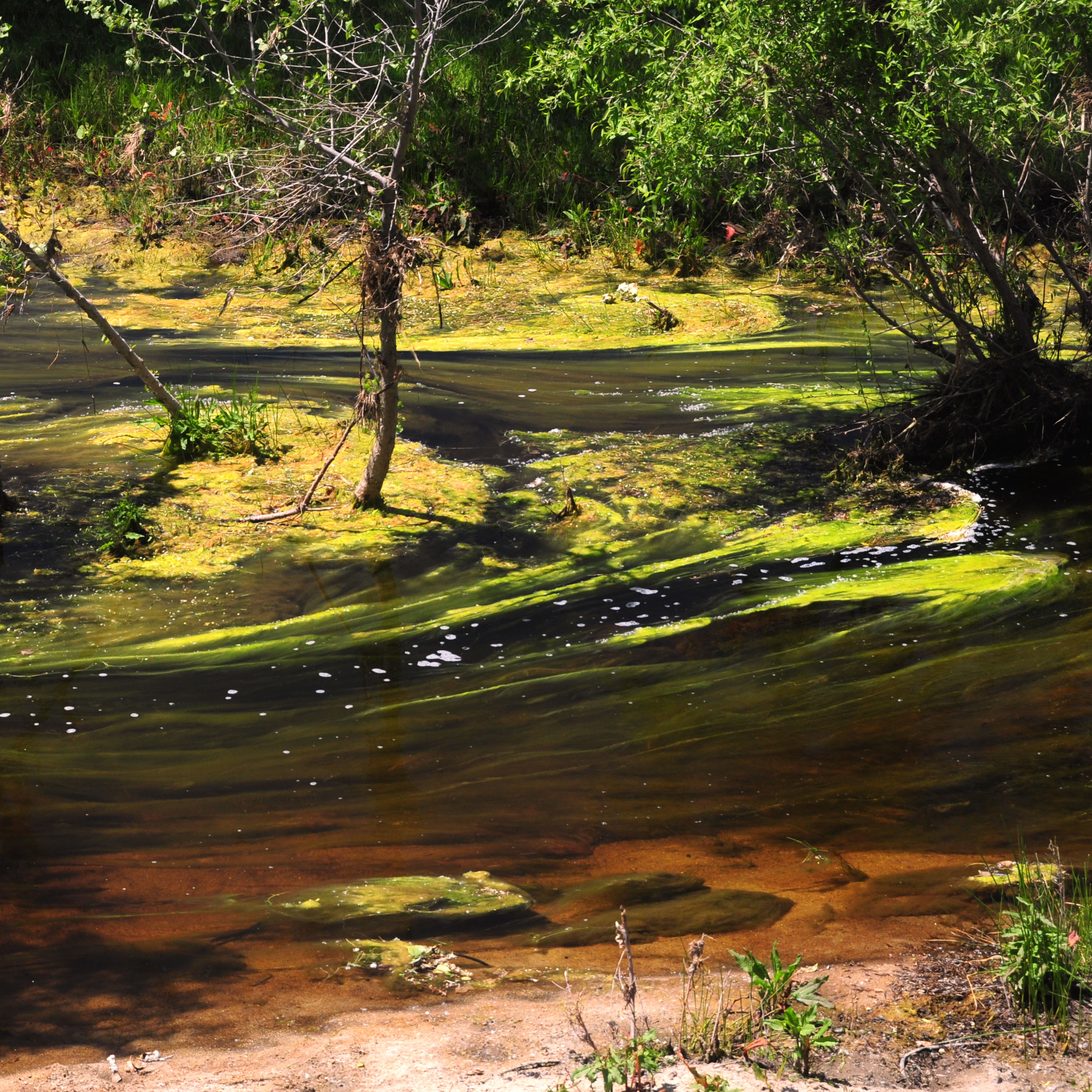
Just a little stream, filled with floating vegetation, by the side of a county road just a mile or two from highway 41.
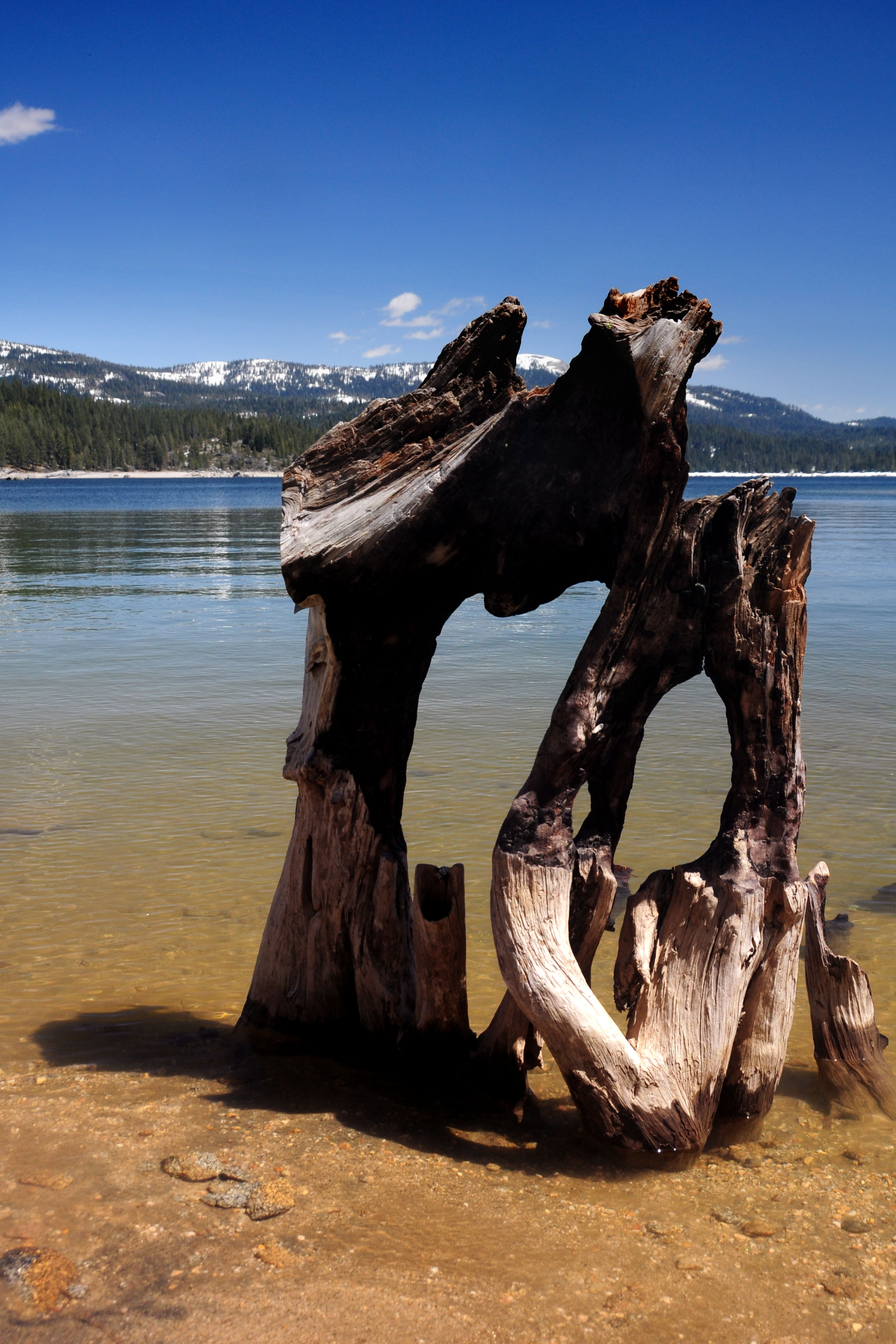
An oddly shaped tree. We find it at Shaver Lake, on highway 168.
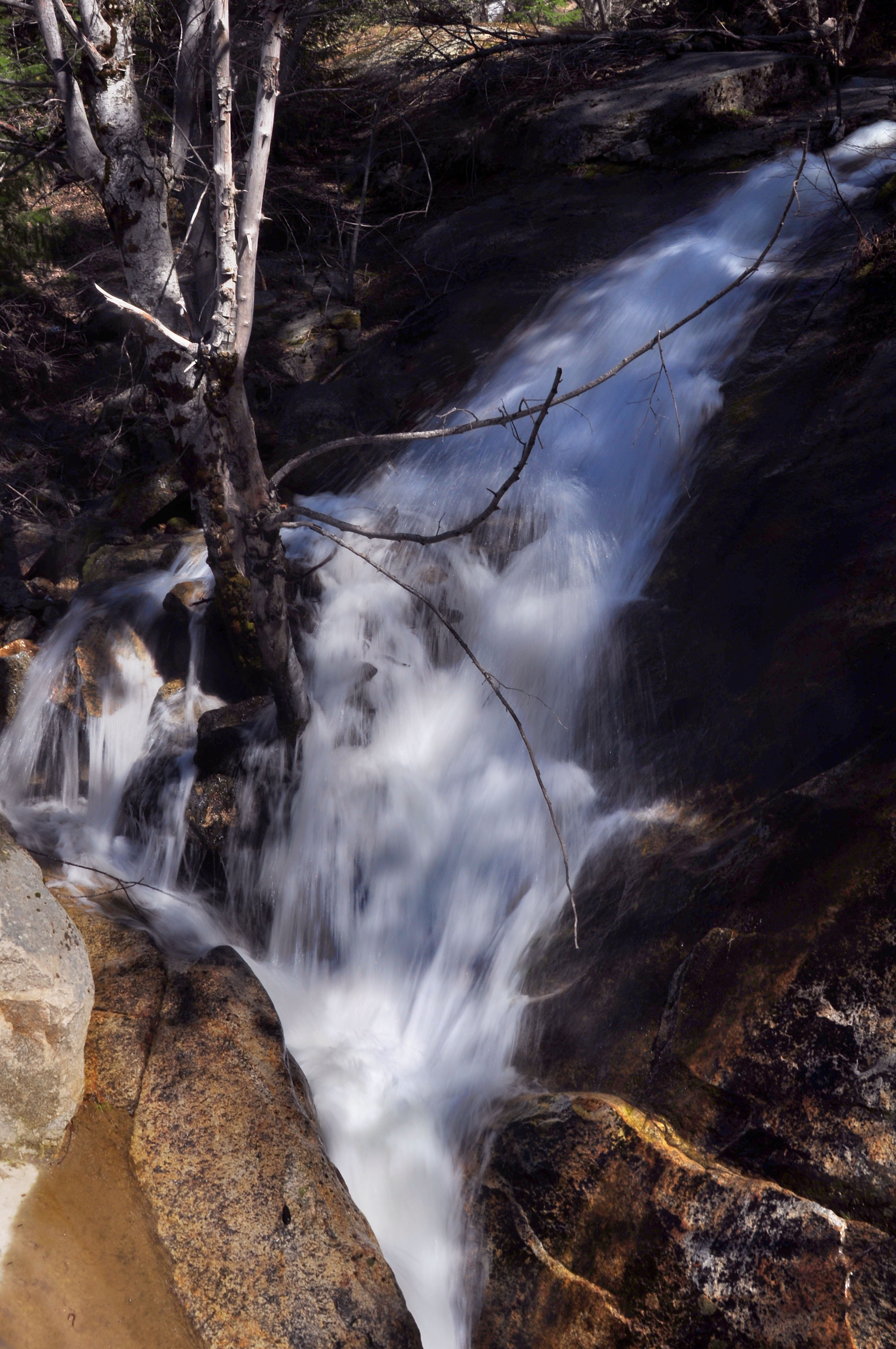
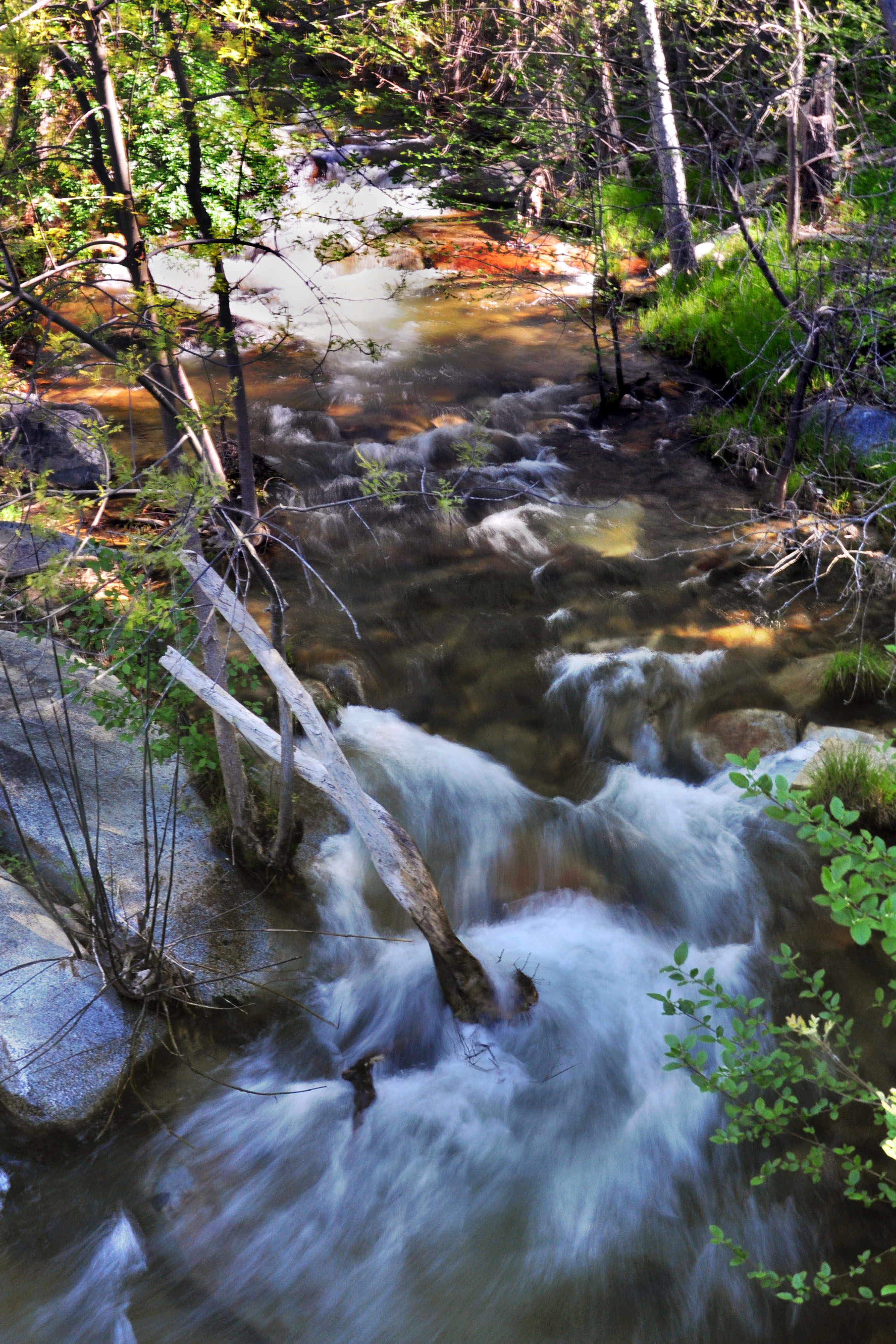
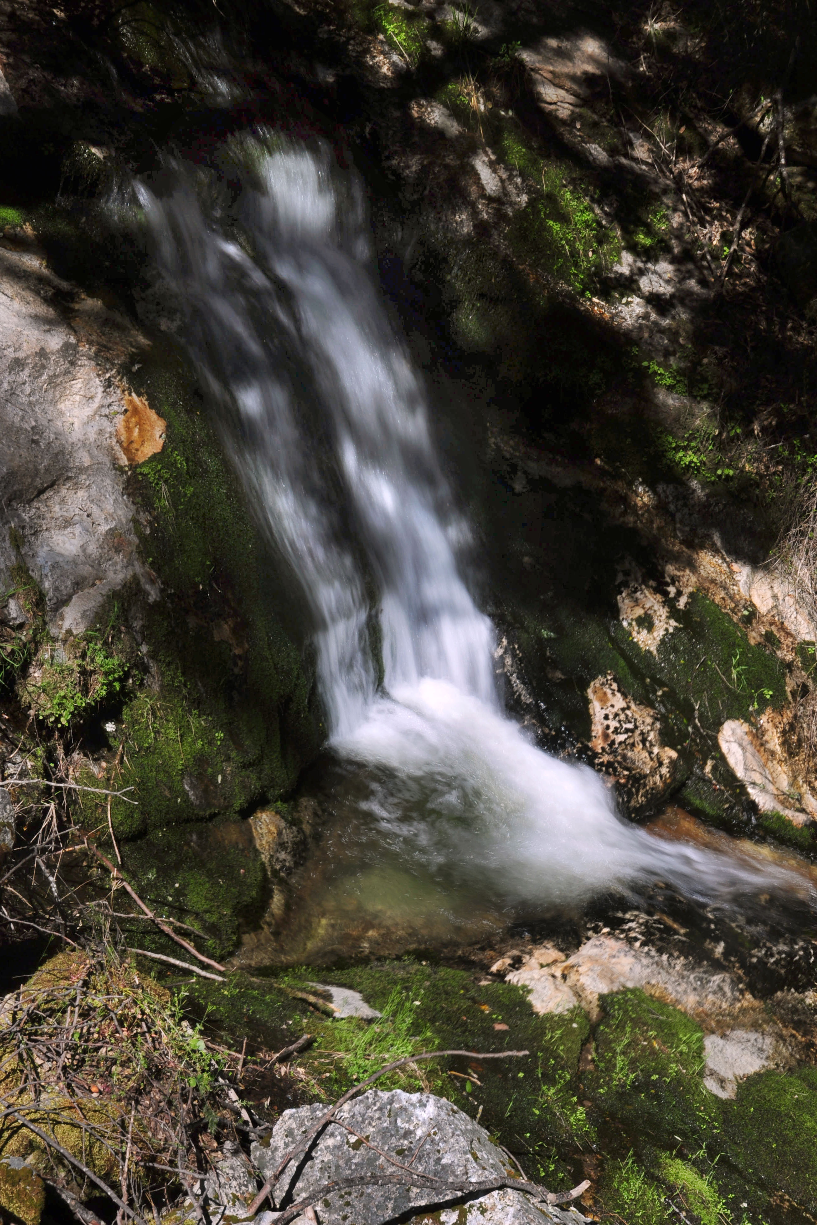
It is definitely waterfall season. This one is beside old highway 168, which leads to Big Creek.
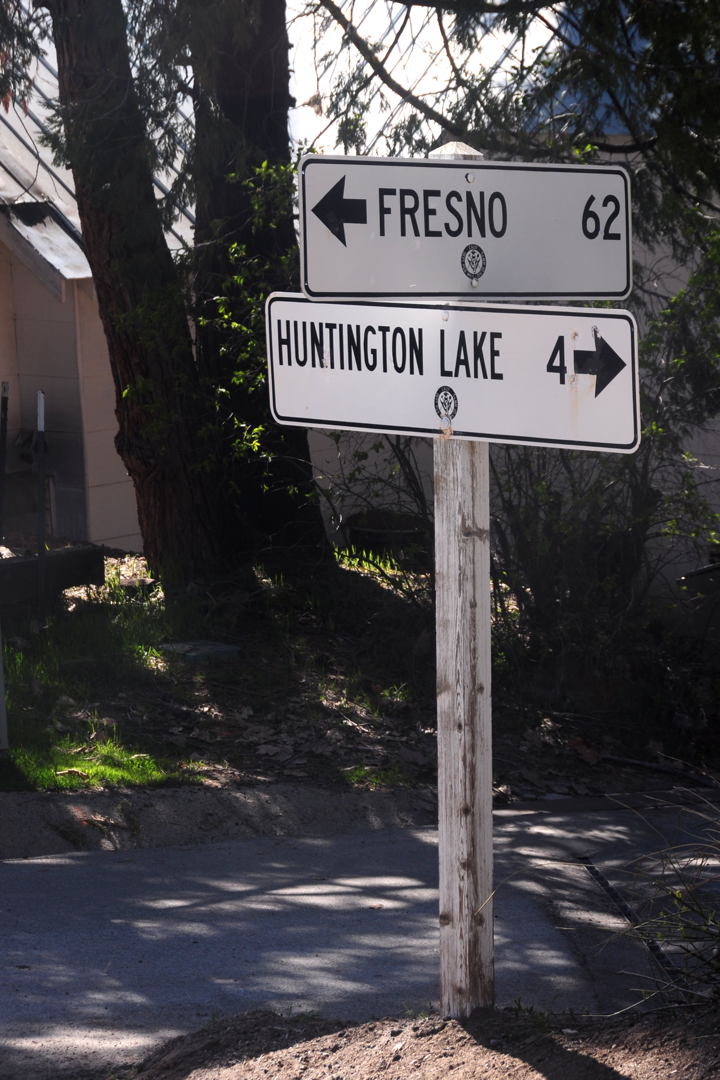
This pair of signs dates to 1953. Some of the last white porcelain guide signs left in the state! I actually found these about a year ago on a trip with Andy, but when we got there it was night, so I had to come back for a daytime shot.
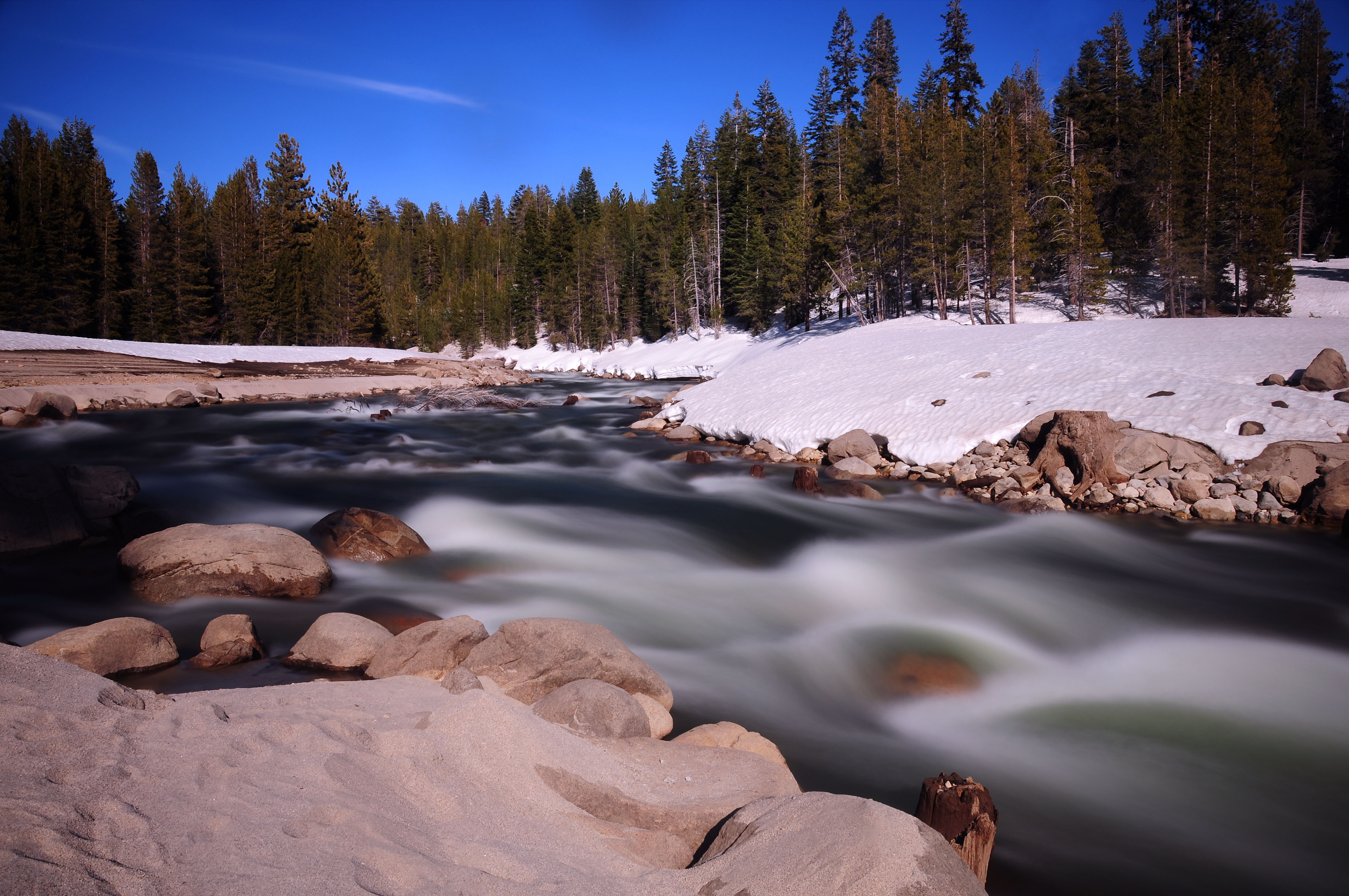
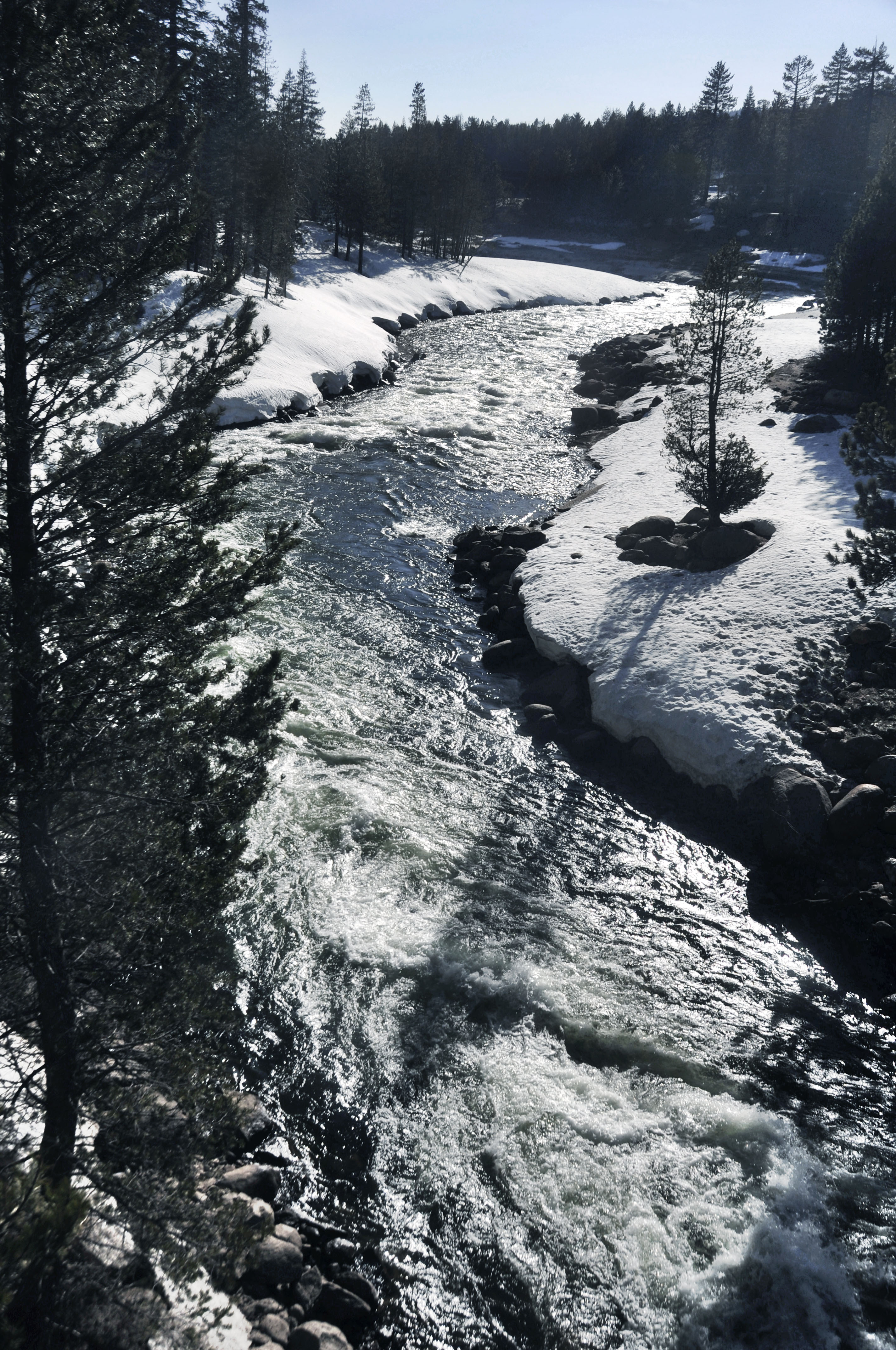
This river feeds from the waterfalls into Huntington Lake.
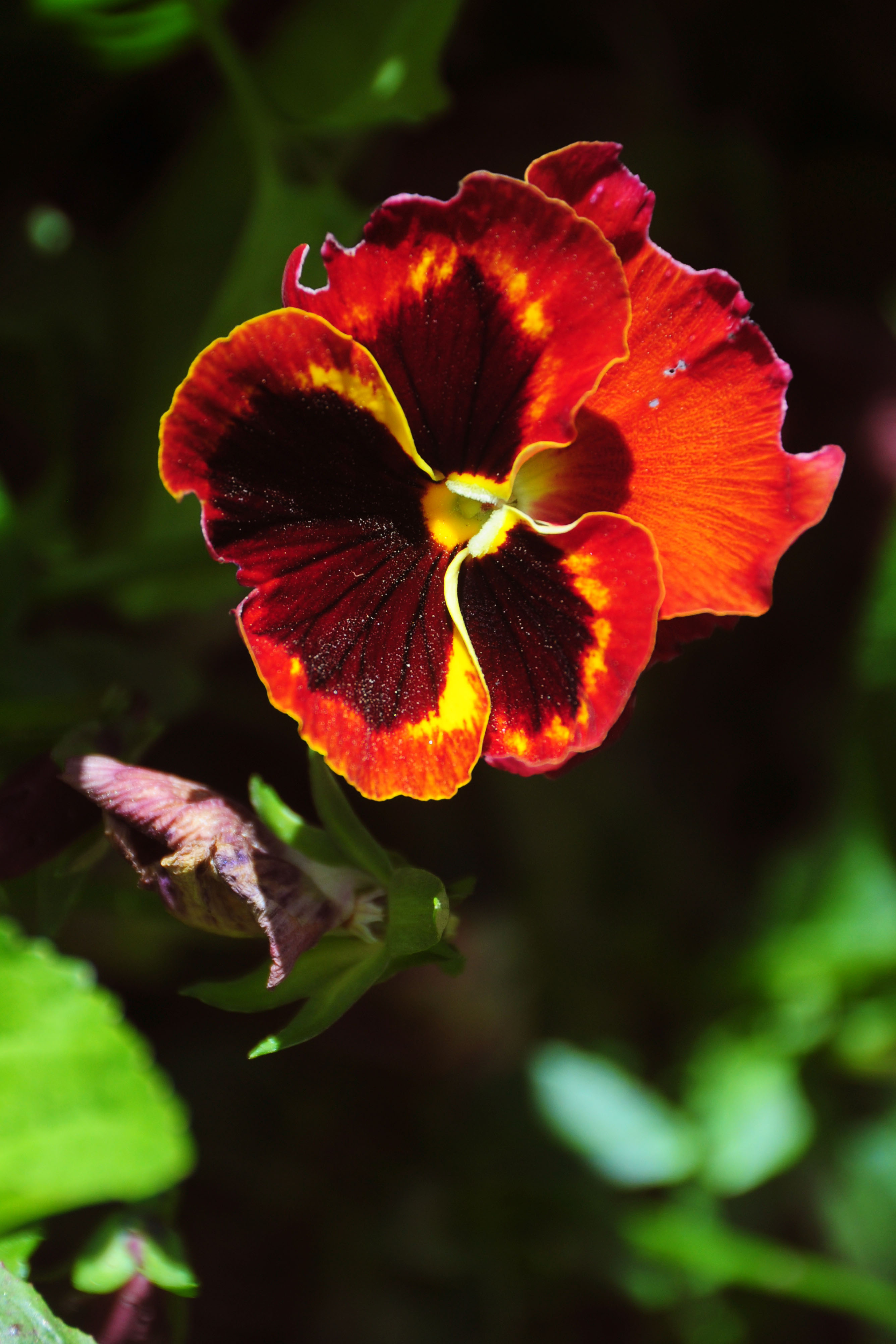
Found in a small garden along the sidewalk in downtown Mariposa is this ridiculously bright “the colors are melting” flower.
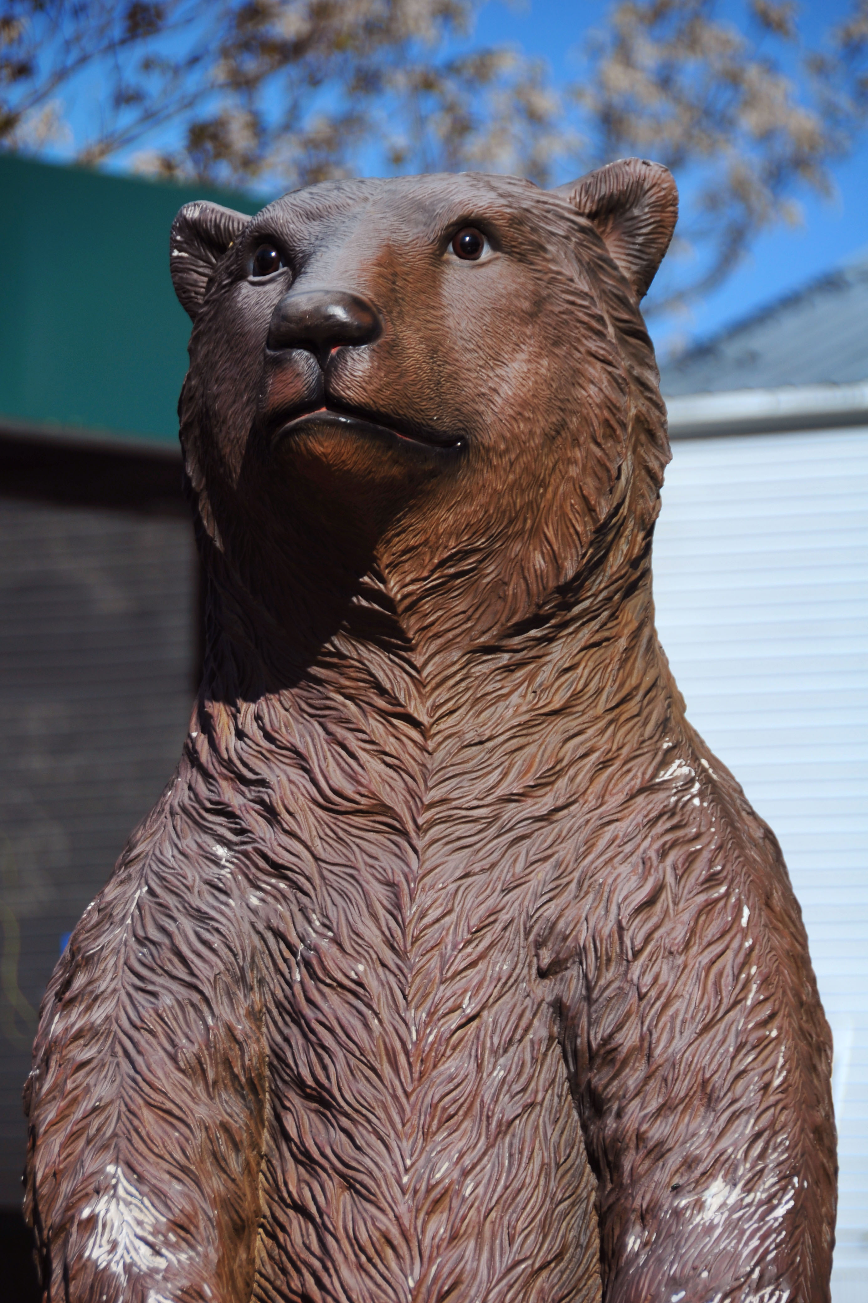
Giant Plastic Bear sees through space-time continua that you didn’t even know existed.
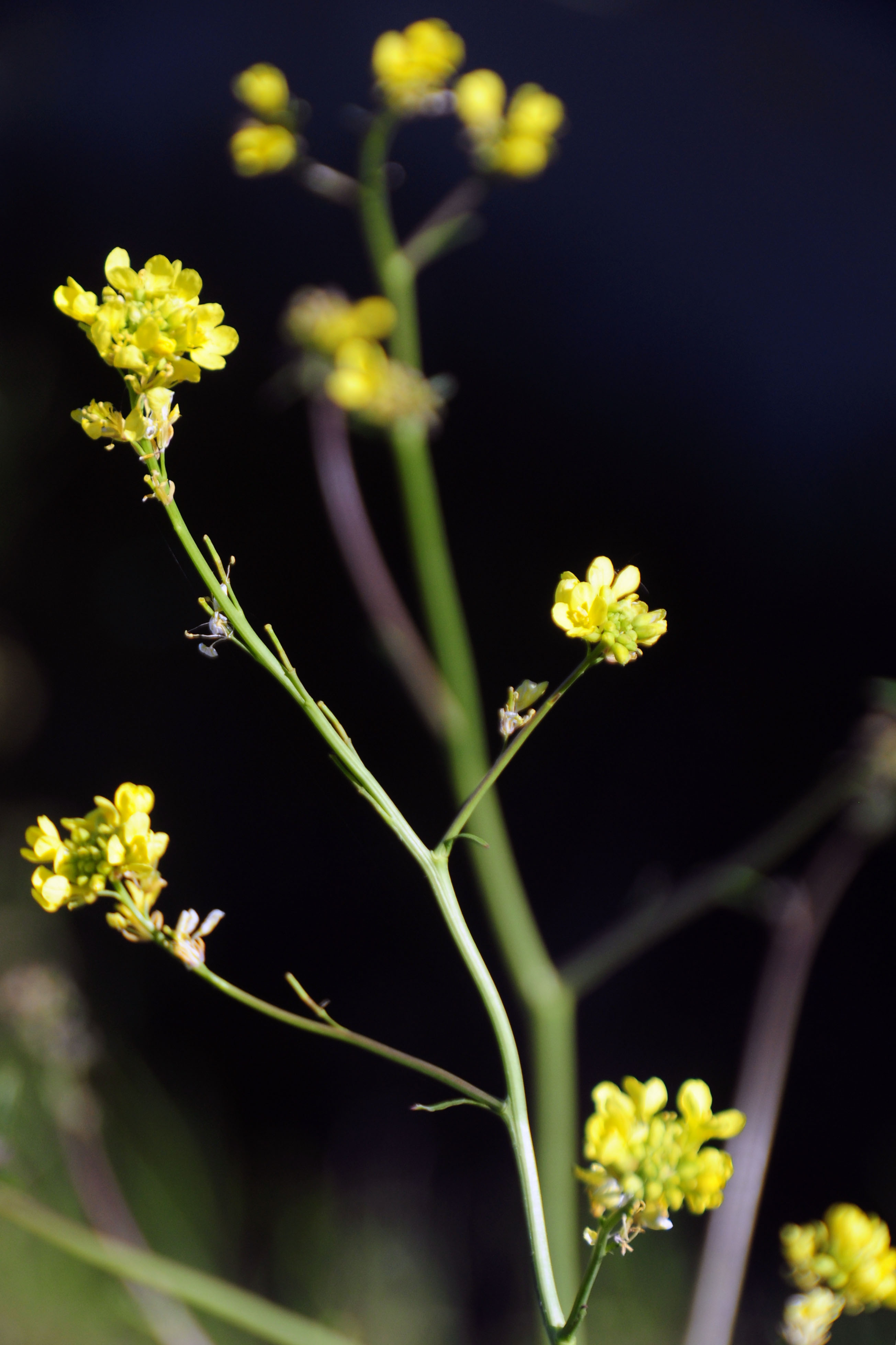
Some yellow flowers beside highway 49.
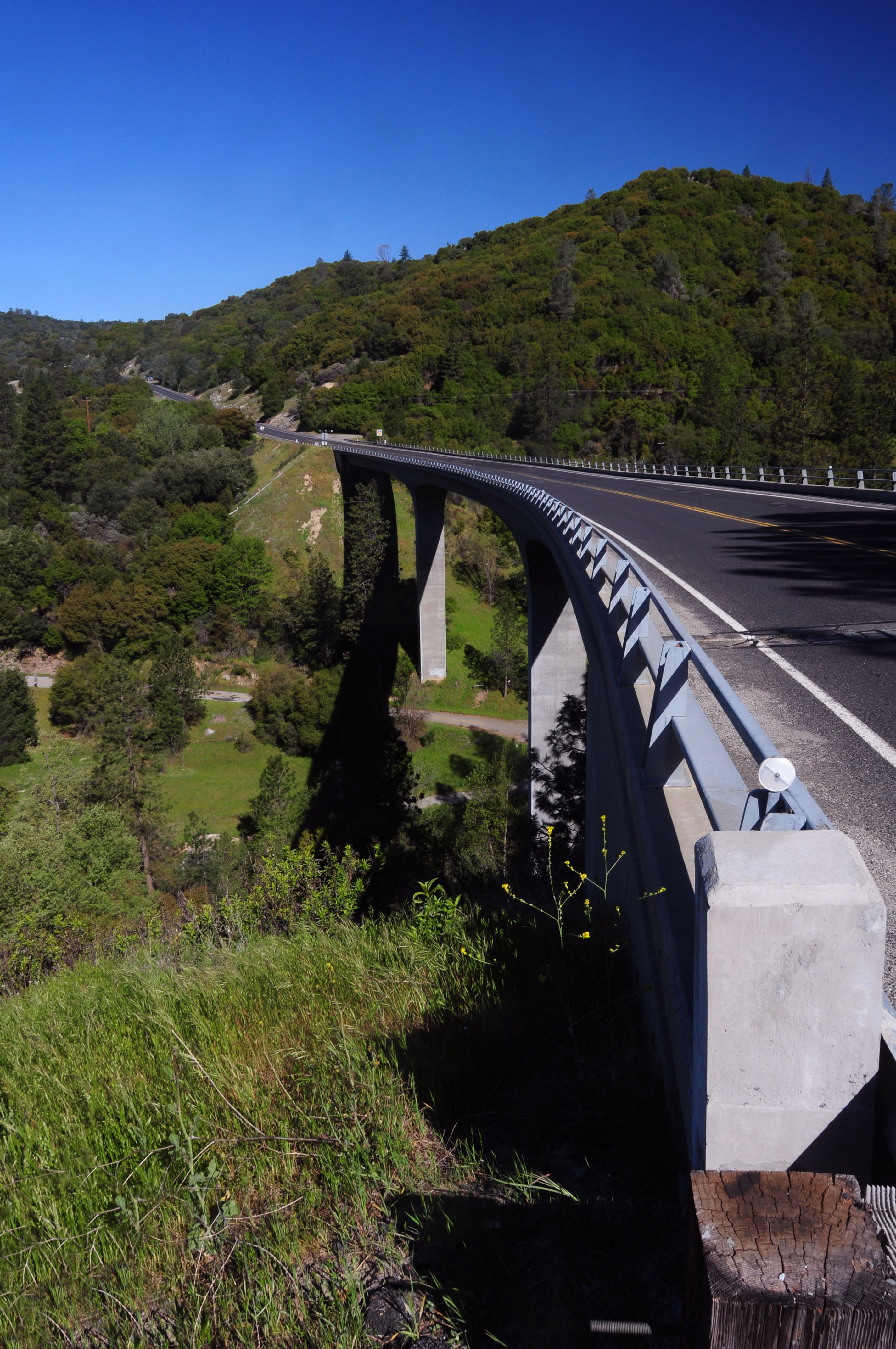
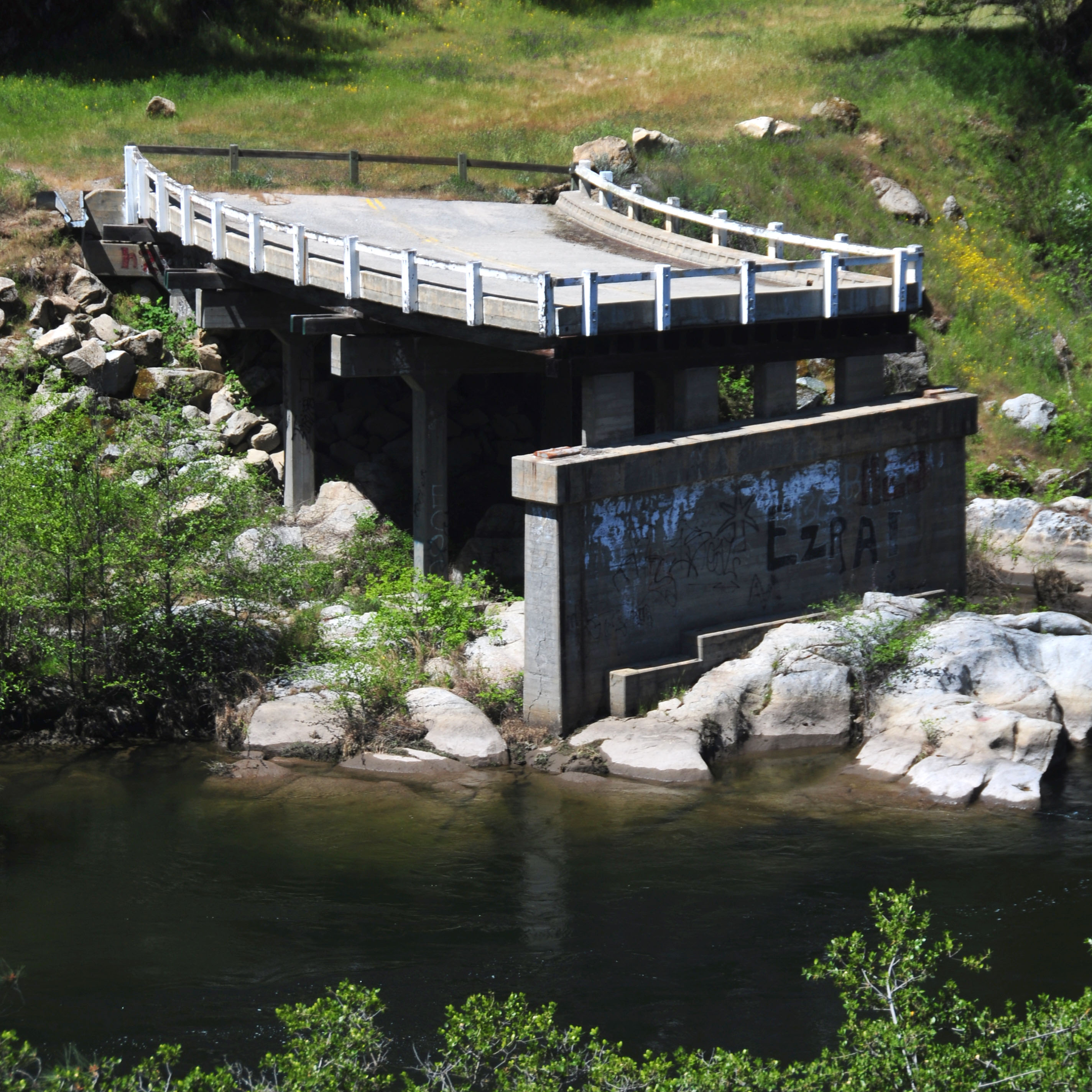
A new bridge across the Chowchilla River. The old road can be seen in the valley below.
The old road must cross the river somewhere, too. This bridge looks very 1920s – and certainly very substandard, which is why it was replaced sometime in the 1970s.
And a view of the river, from the deck of the old bridge.
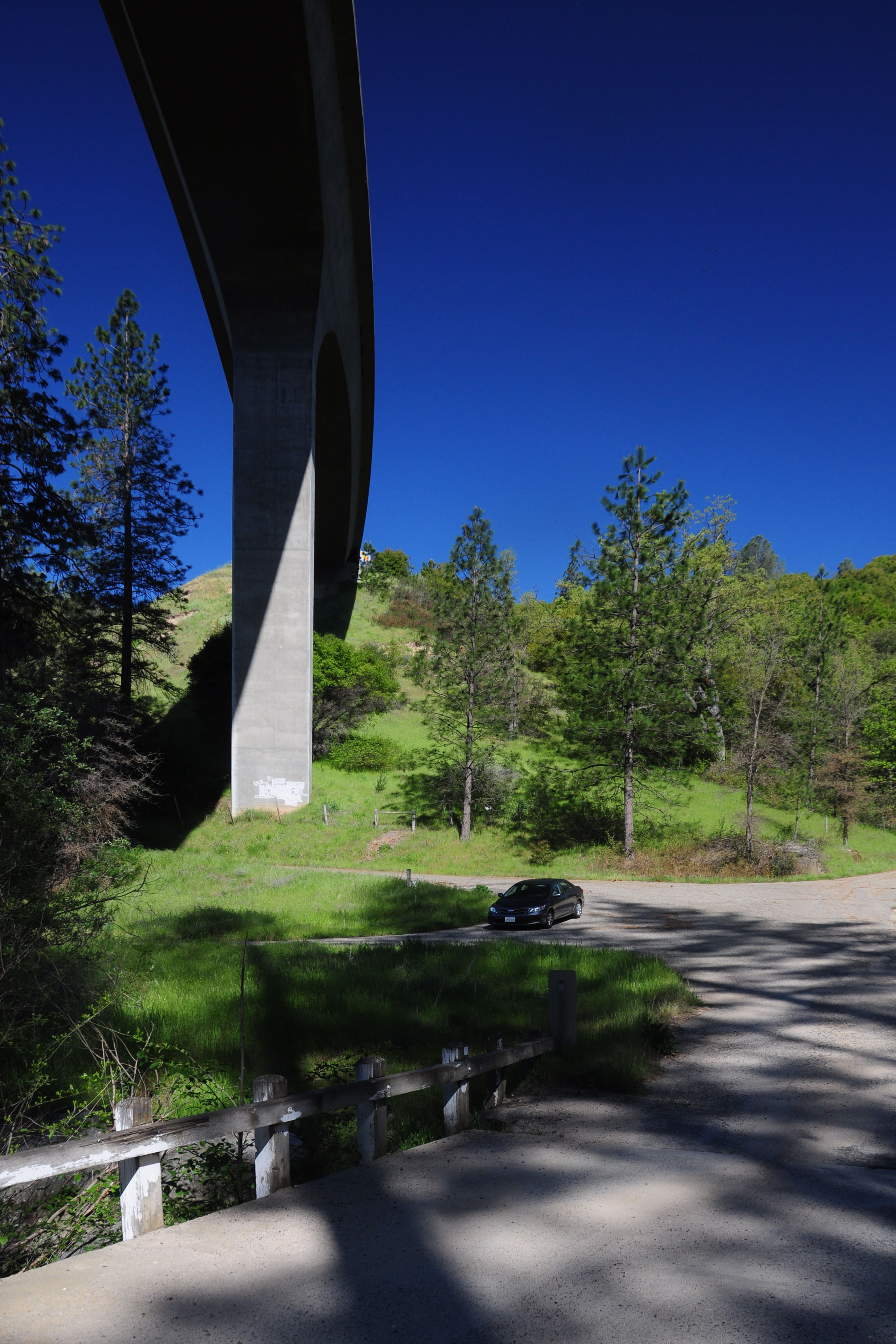
New and old bridges.
Further flowers that defy identification.
I don’t remember where this waterfall was, but “by the side of 49” is a good guess. How does one get motion-blurred shots like this? One holds the camera
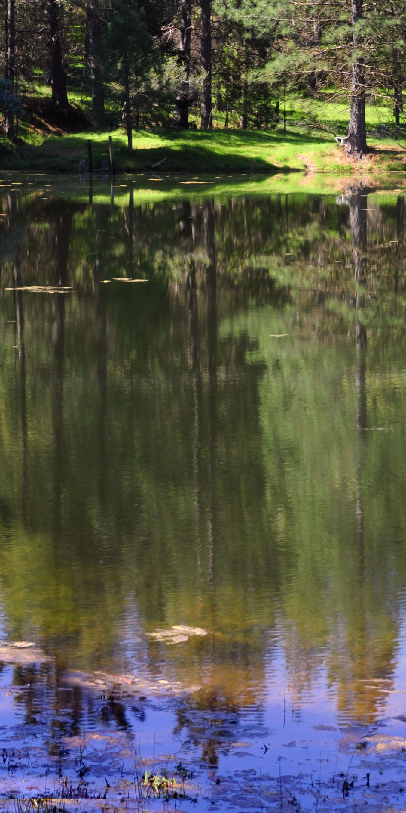
A reflecting lake, by the side of an old 49 alignment.
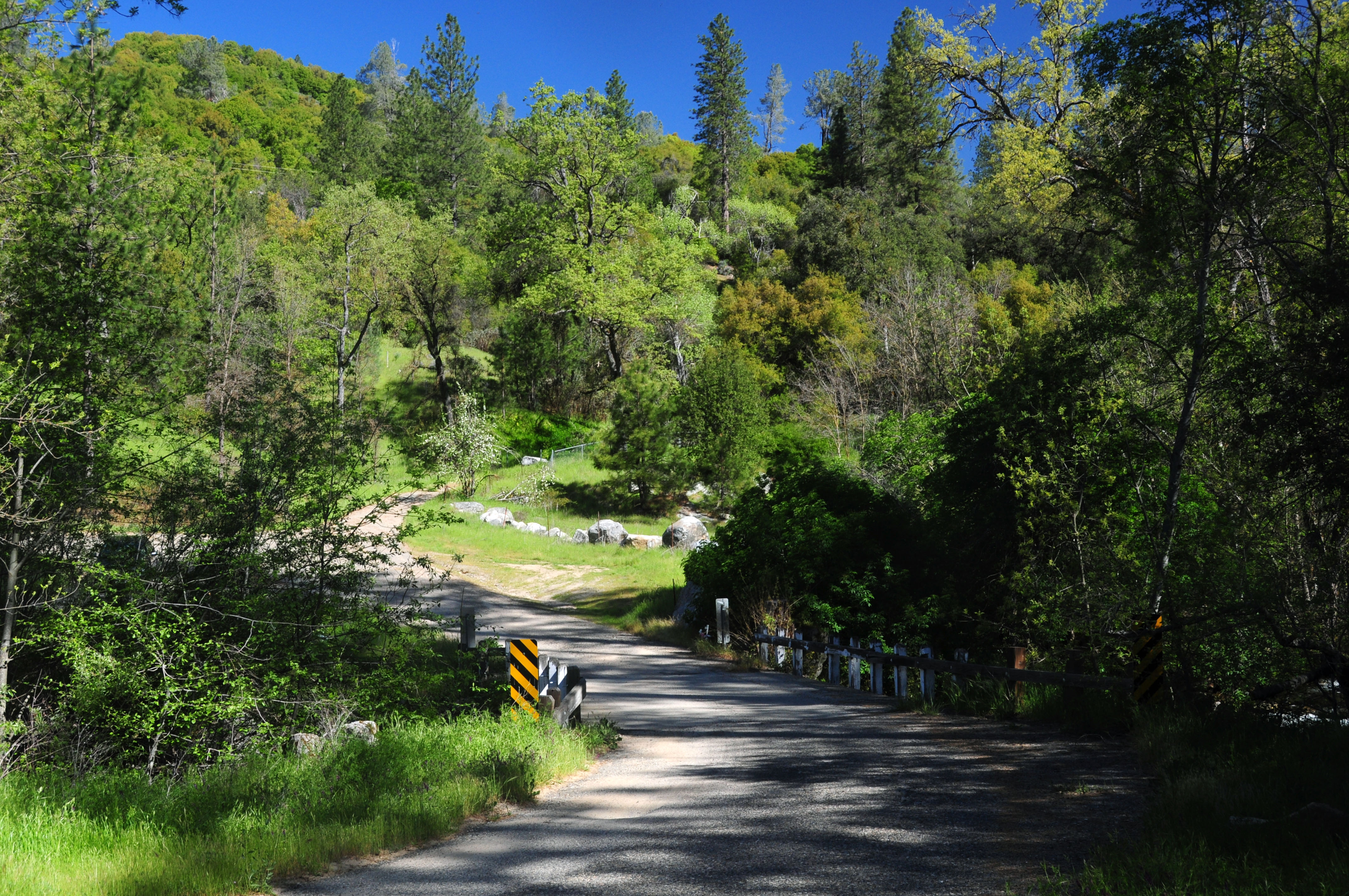
An abandoned bridge on a county road near North Fork. They dismantled the approaches. Apparently, it was the only way to be sure.
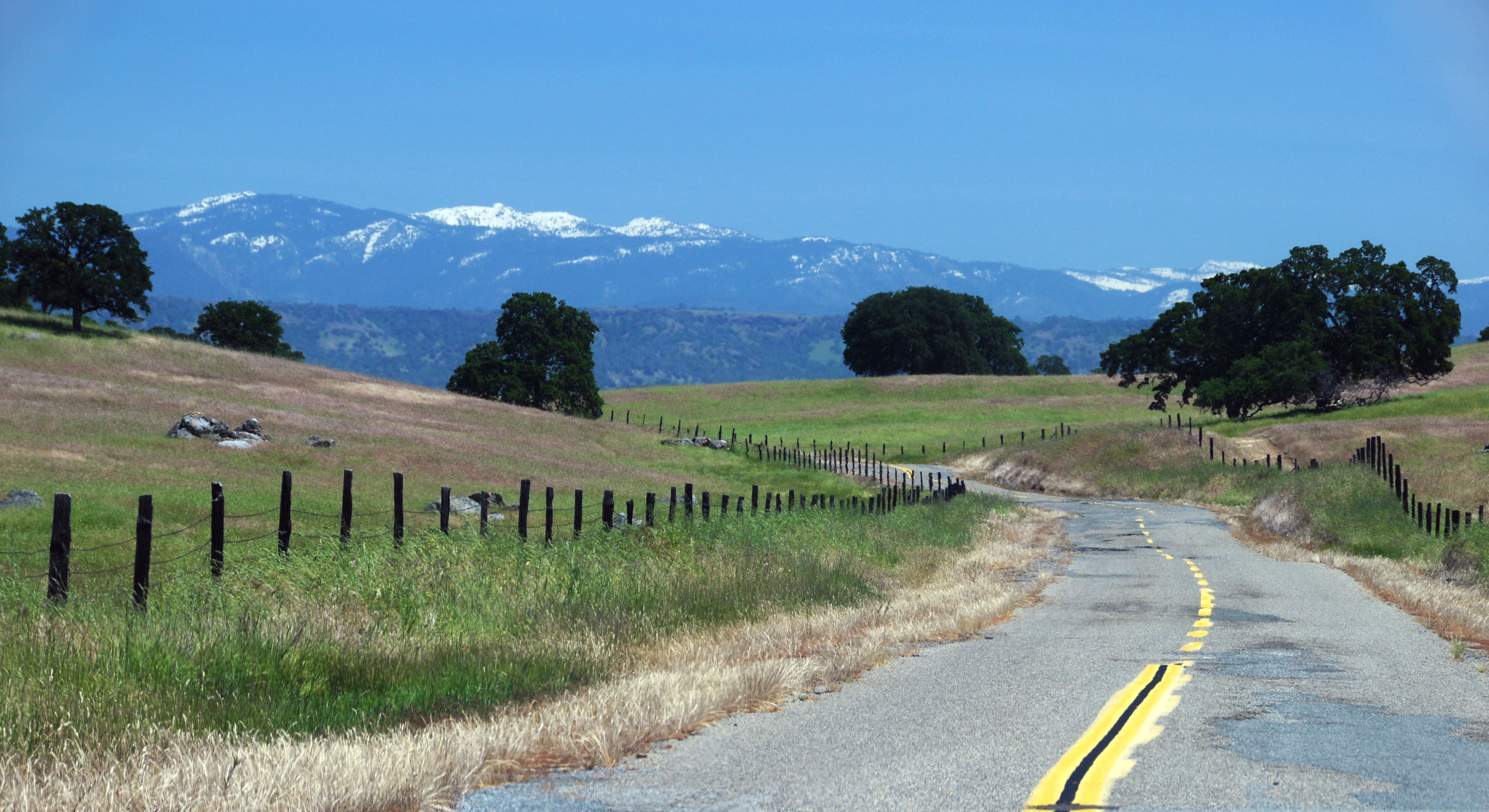
Looking back east for a moment. We’re about to start 168, but it’s still county roads – in varying states of preservation! – for now.
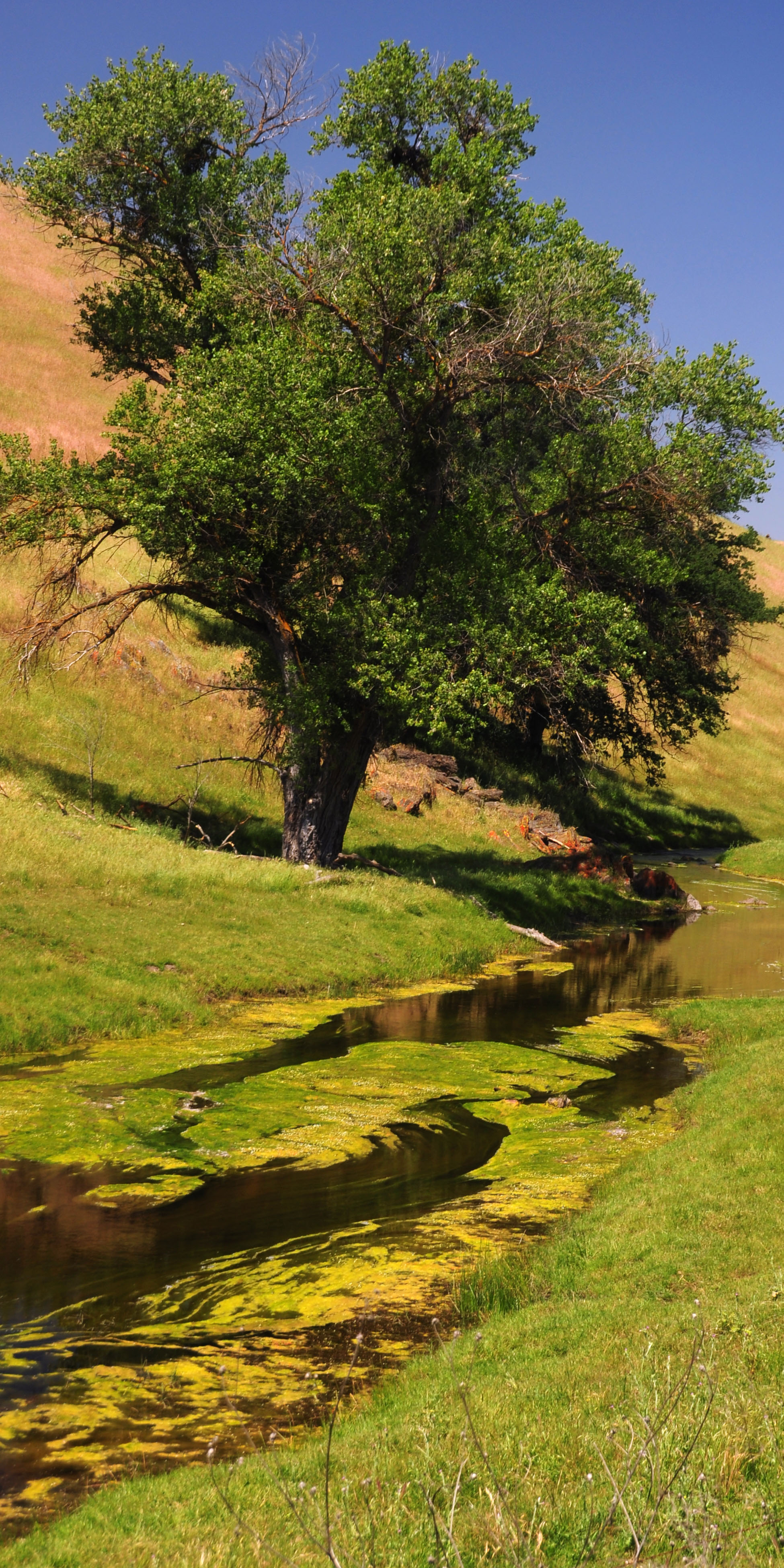
Same vegetation-filled stream, opposite direction.
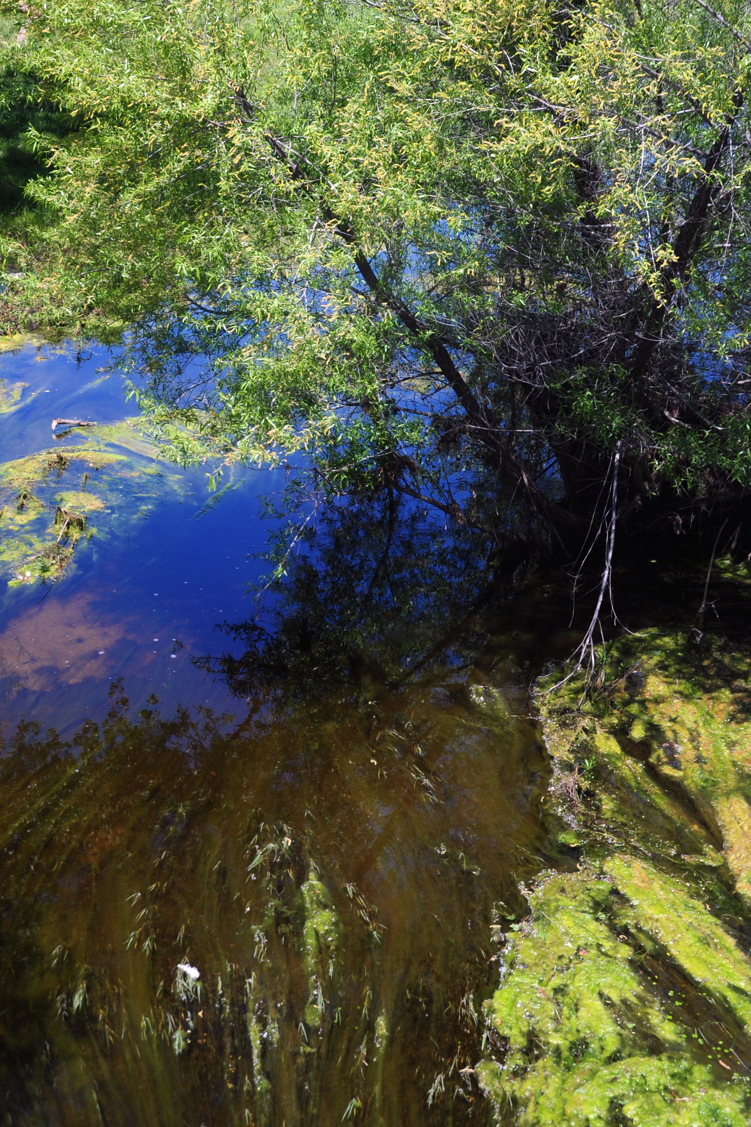
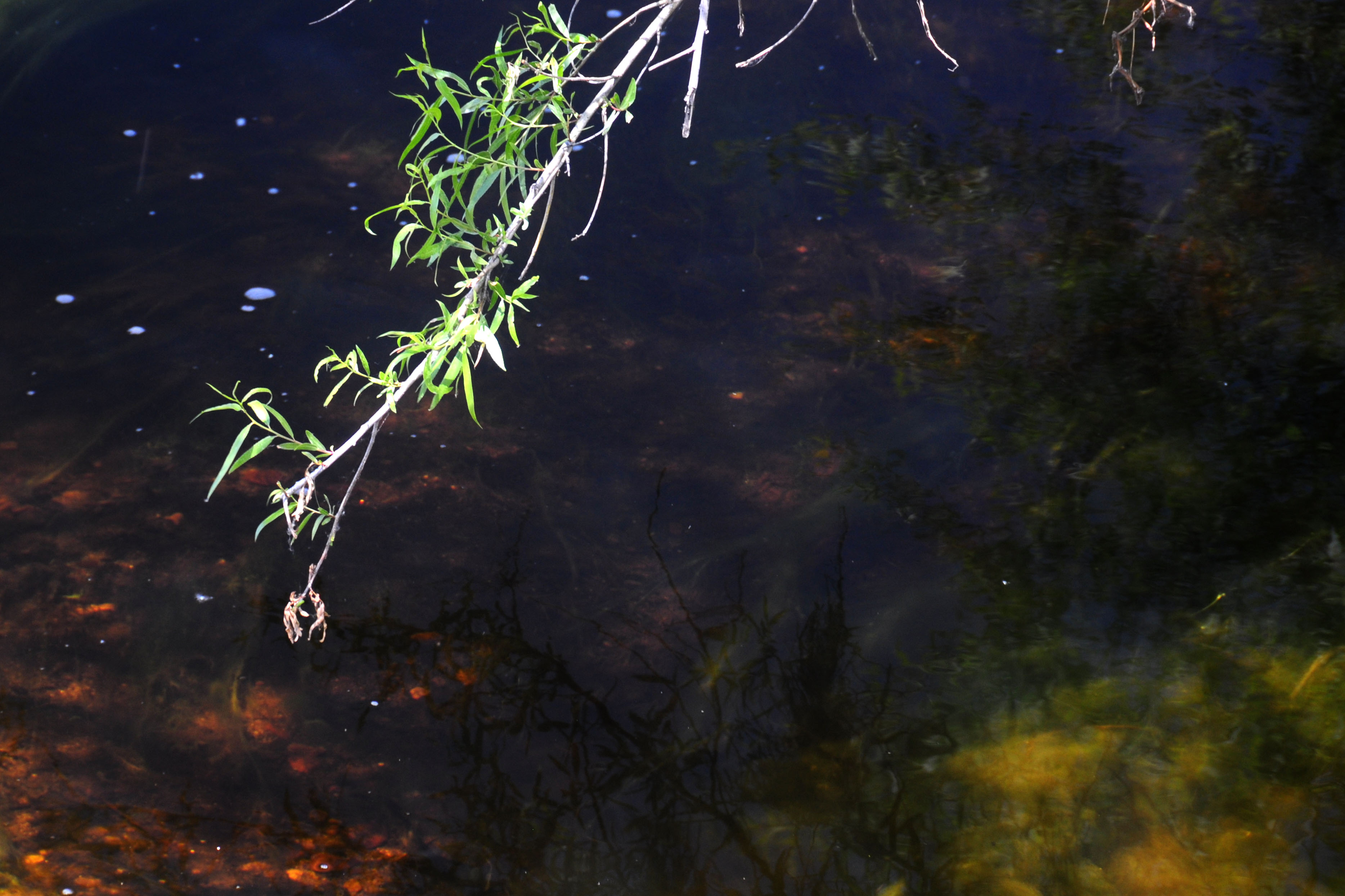
mmm… vegetation.
Some vegatation of the above-ground kind.
One last one, then it’s time for 168.
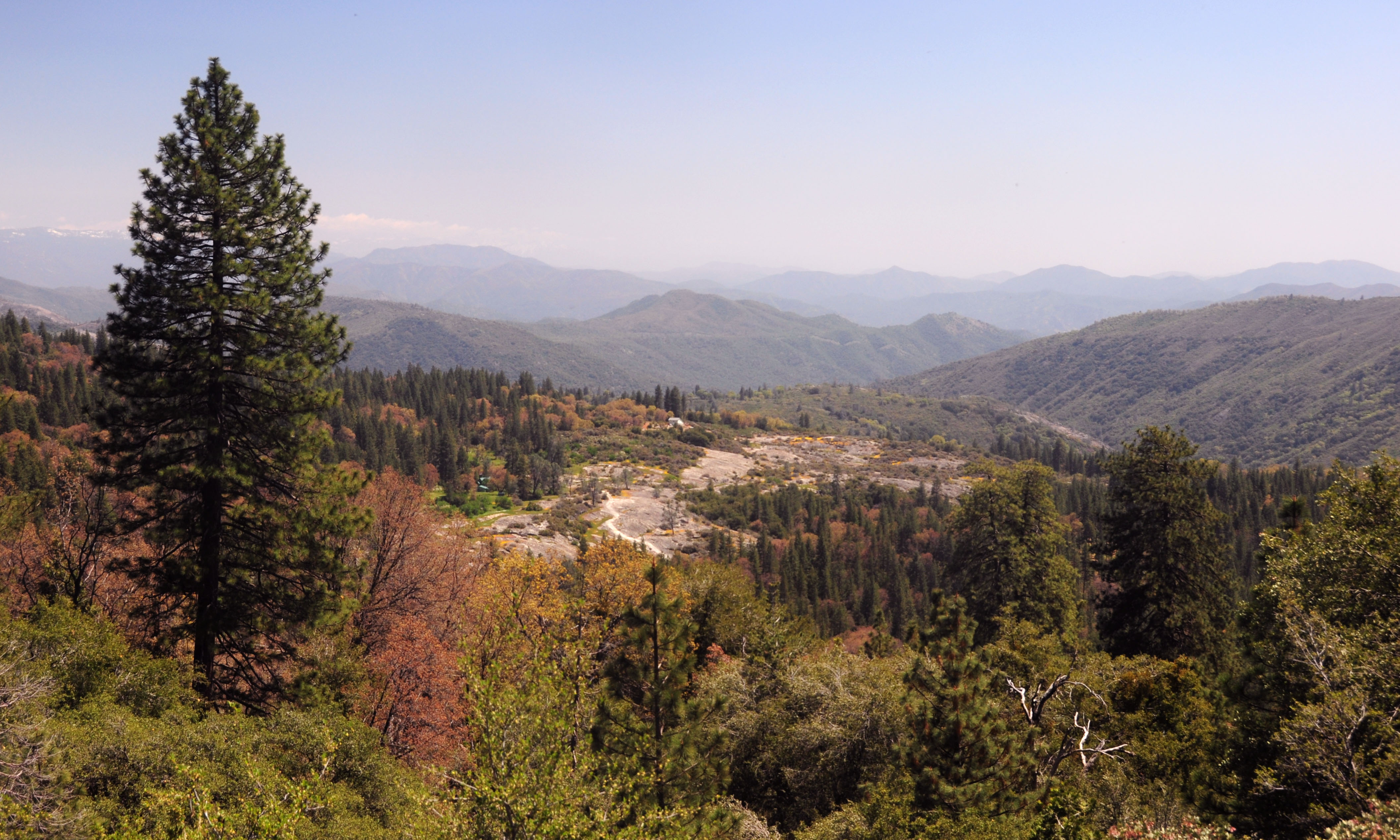
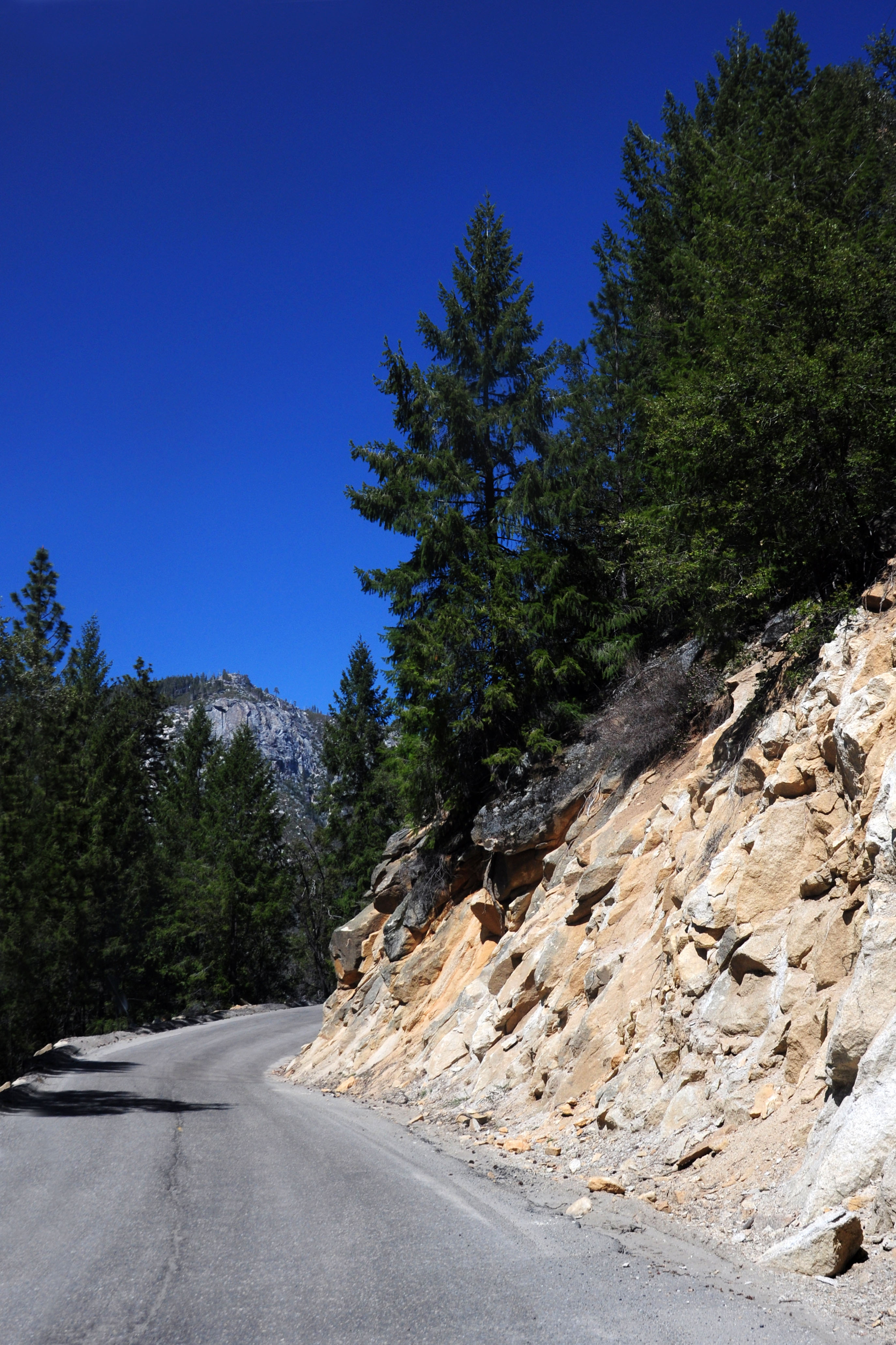
168 starts going up rather quickly.
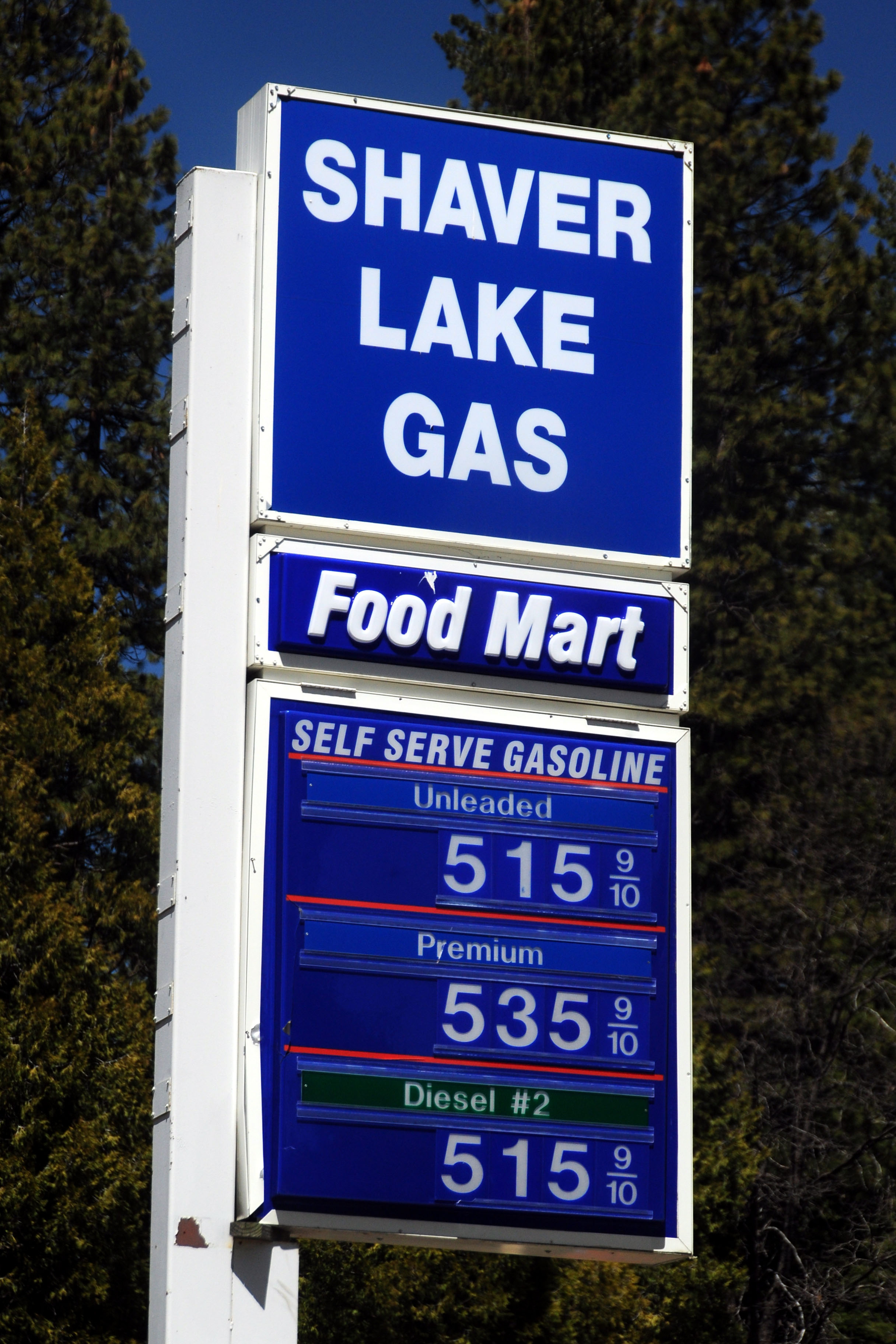
Gas is expensive on this little spur route to nowhere.

At Shaver Lake. This duck has just come in for a landing.

Iron pyrite – the bane of gold panners everywhere – washes up on the shore of the lake.
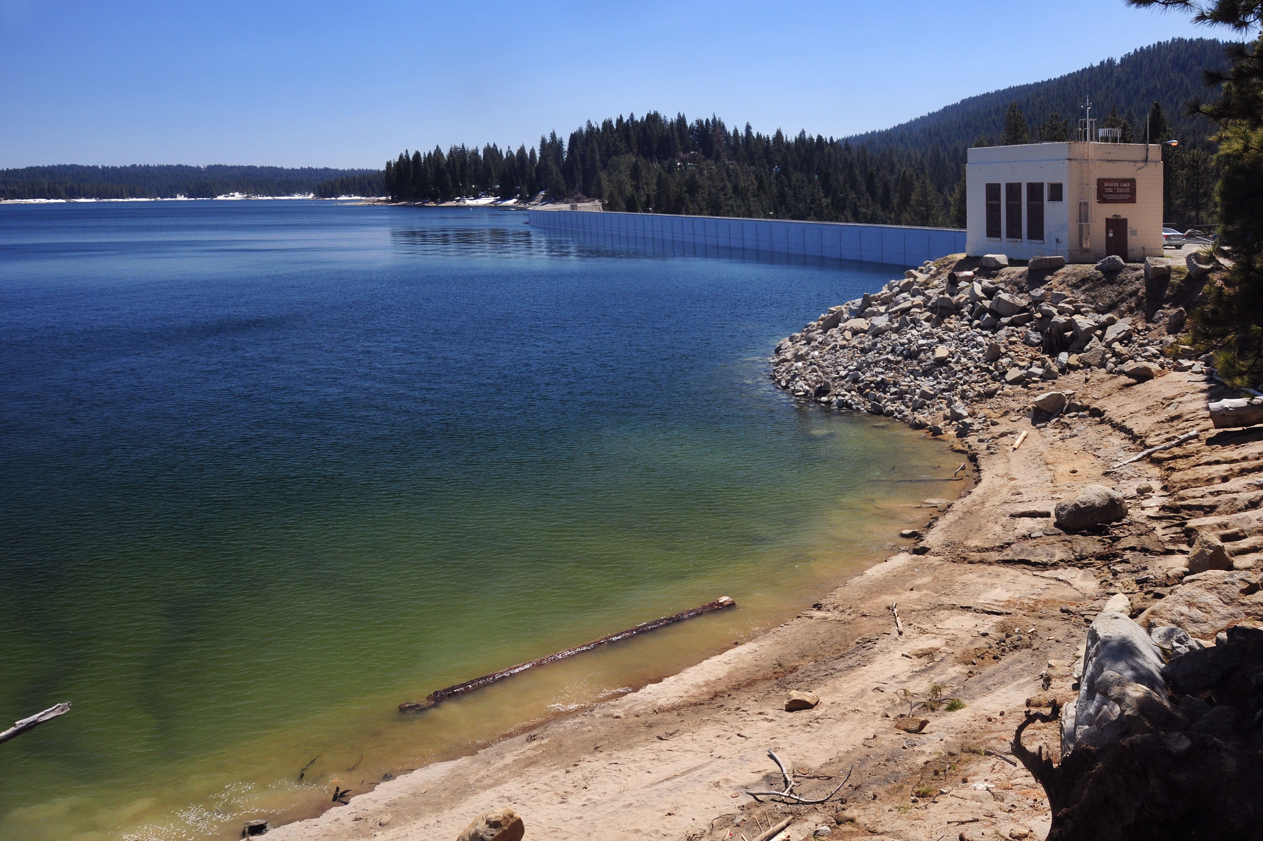
The dam. Shaver Lake, as well as several others in the area, are all artificially created to provide hydroelectric power.
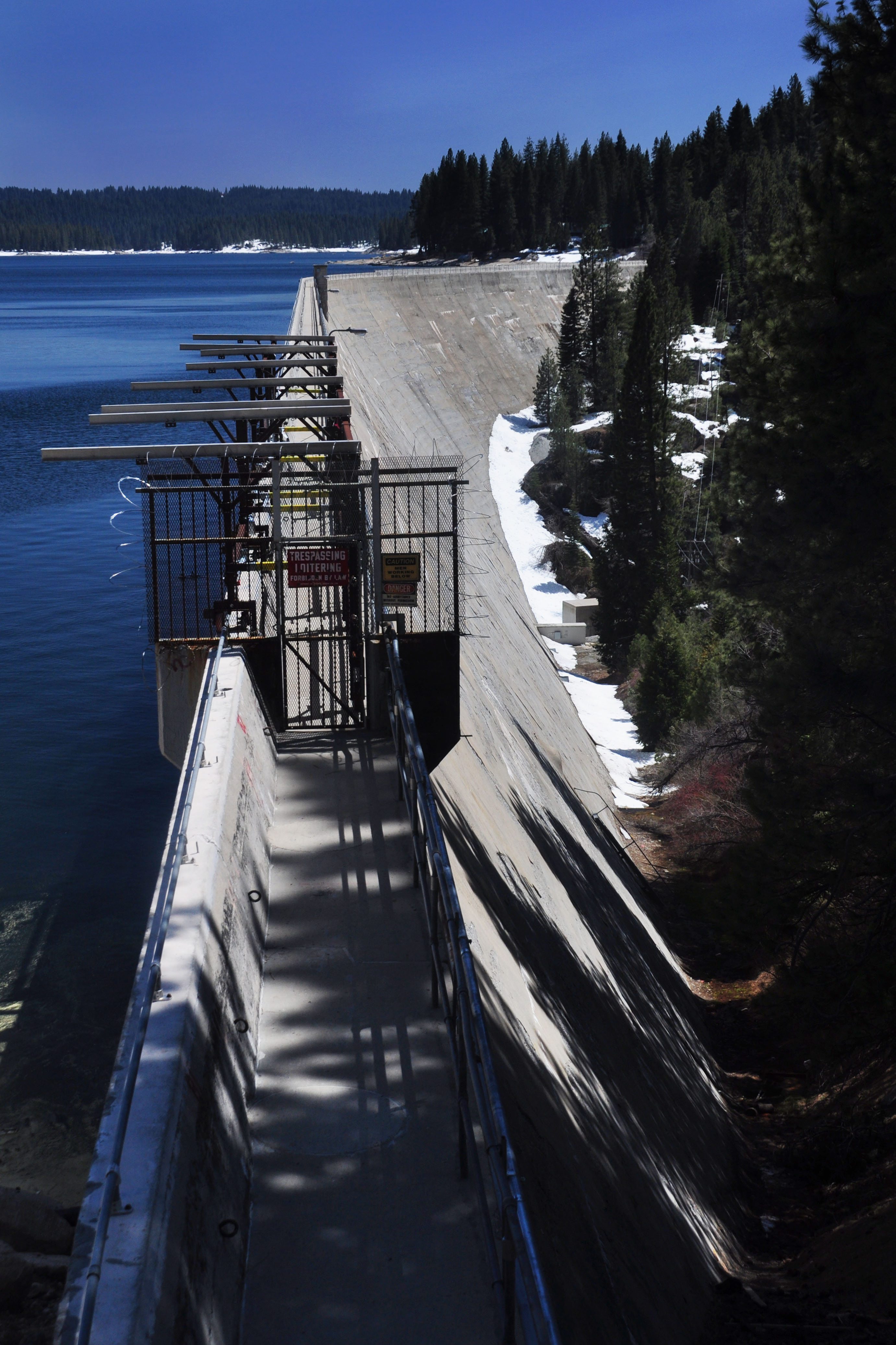
The view from on top of the dam.

This sign probably dates back to when the dam and lake were built in 1927.
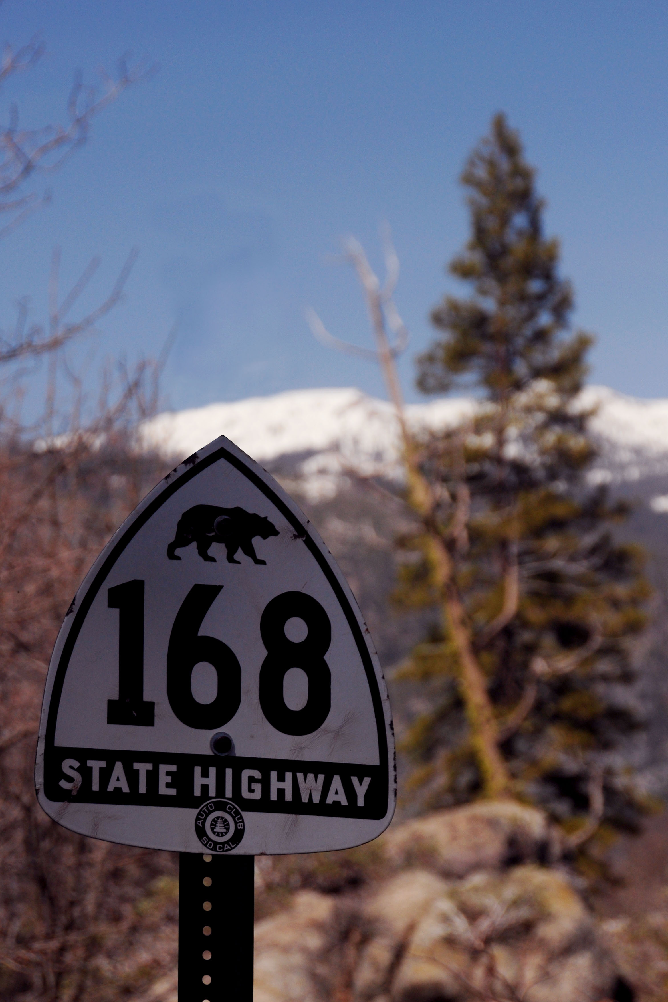
Everyone’s favorite Bear 168 sign. Well, Scott’s favorite, anyway. We brought it along and put it up on an unused post on highway 168. (And yes, we took it with us afterward!)
Old 168 heading up to Big Creek.
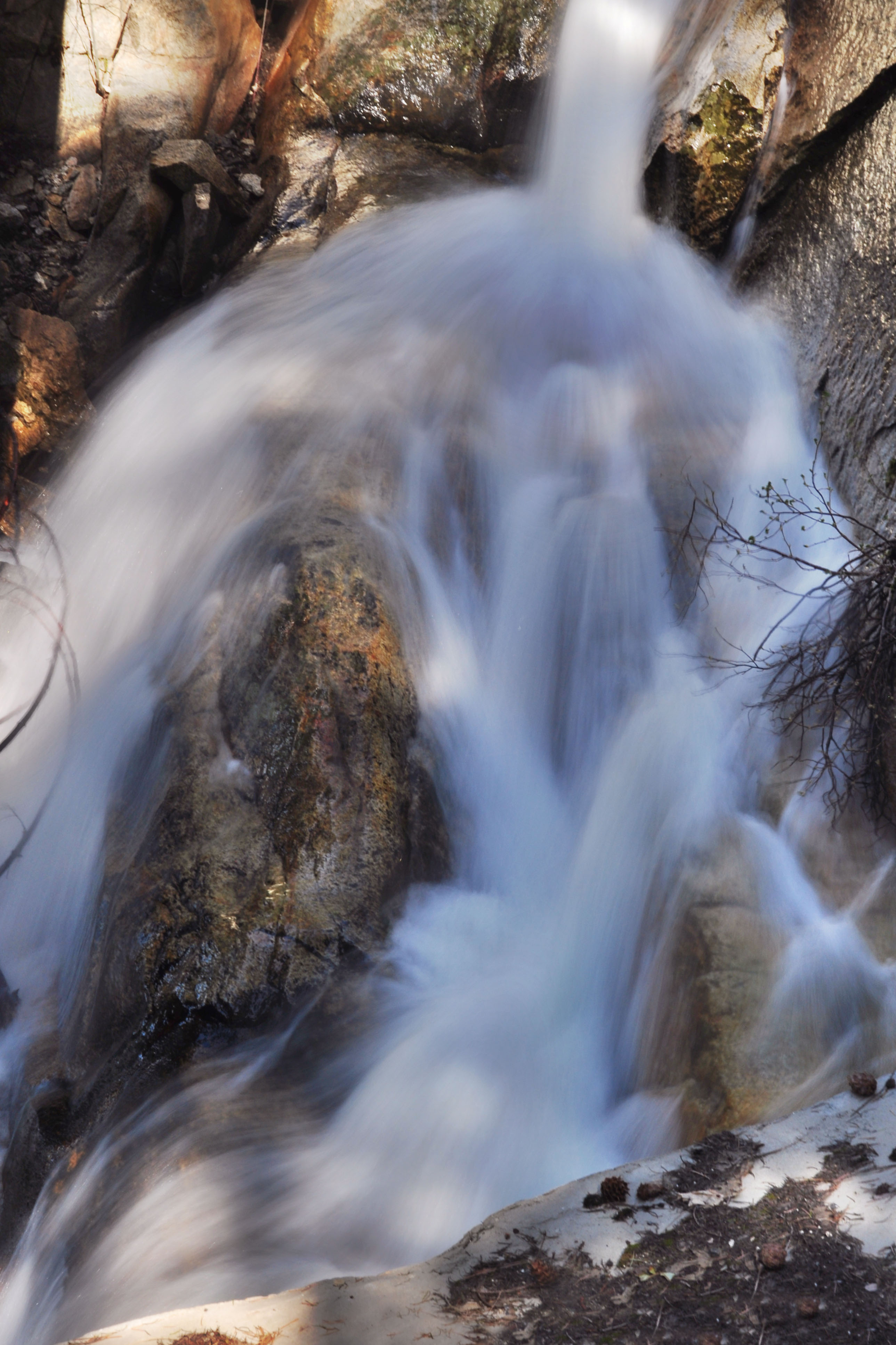
Another one of 168’s waterfalls.
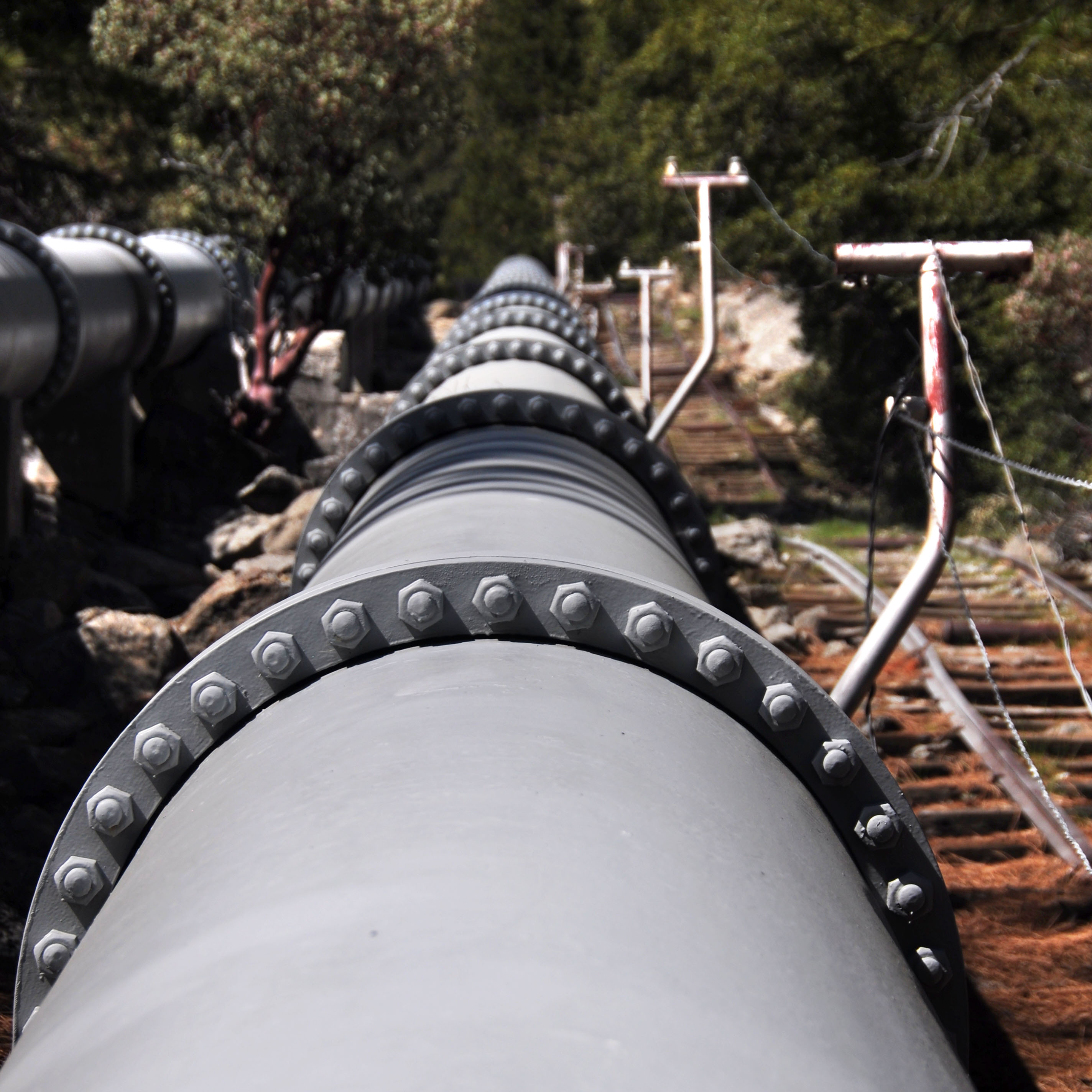
Sometimes, the water needs to come down the hill in a more controlled manner. To that end, these huge pipes were installed.
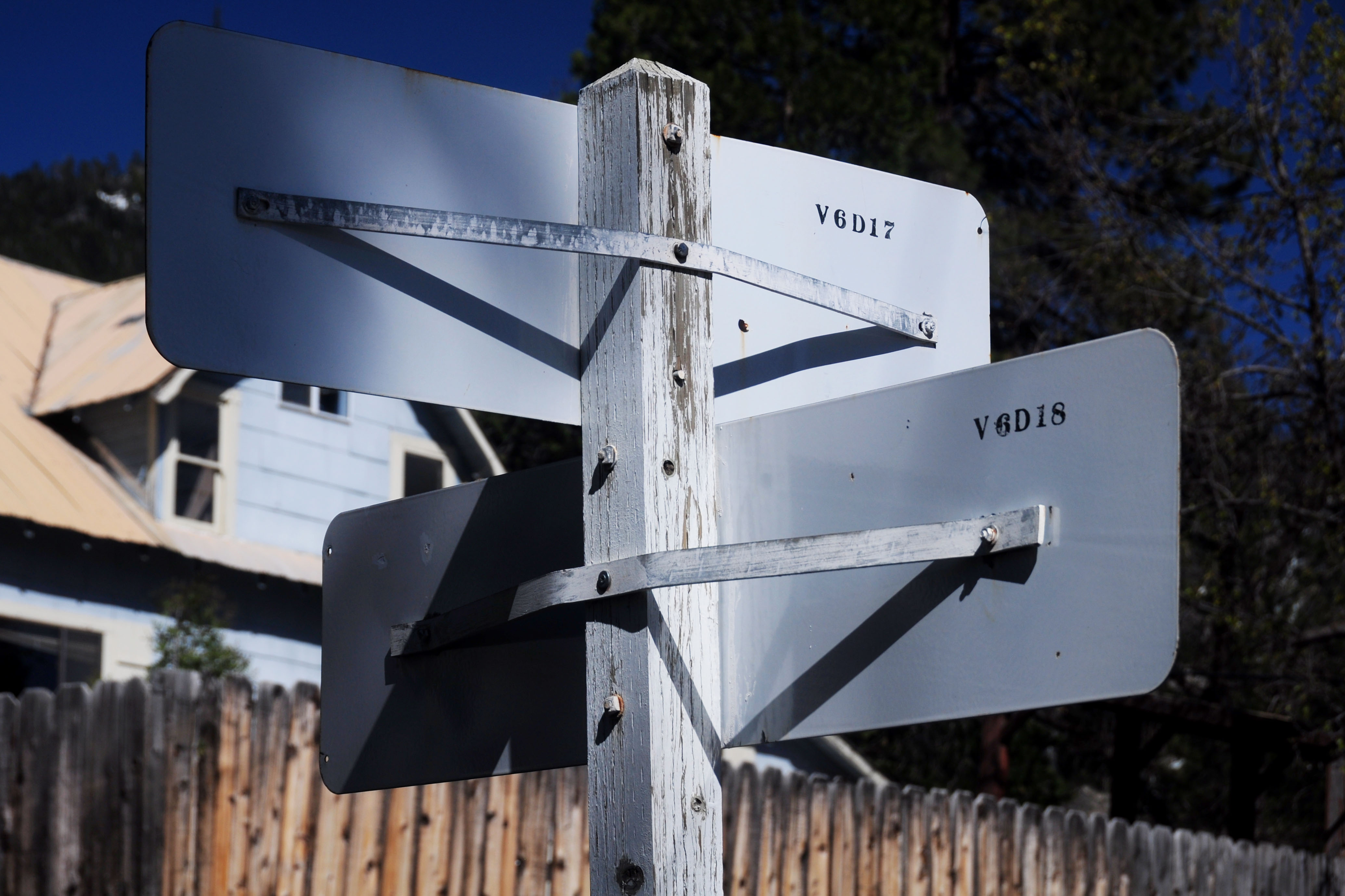
The backs of the old white guide signs. Invariably, one gets better light for the back than the front. This is a basic fact of going out to photograph things – one gets there at the wrong time of day!
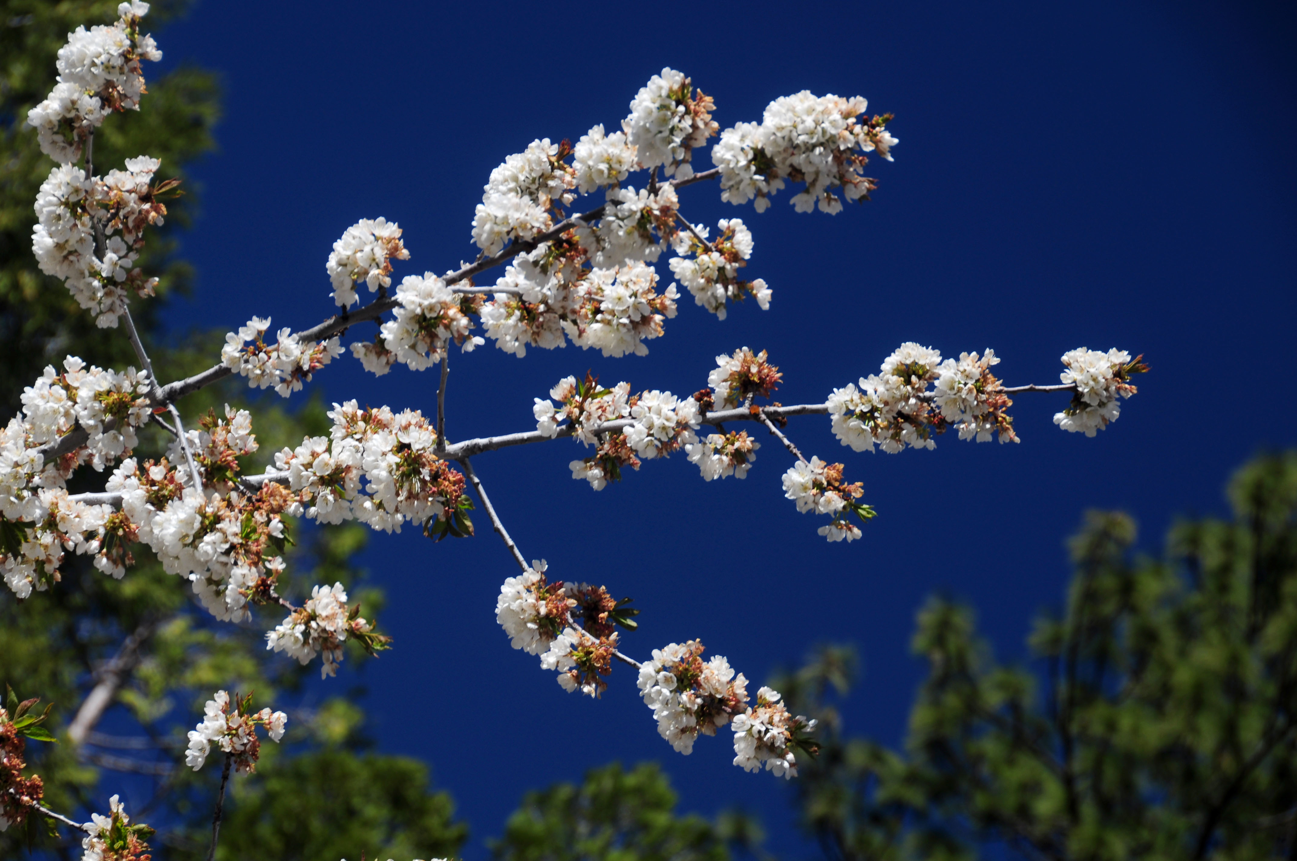
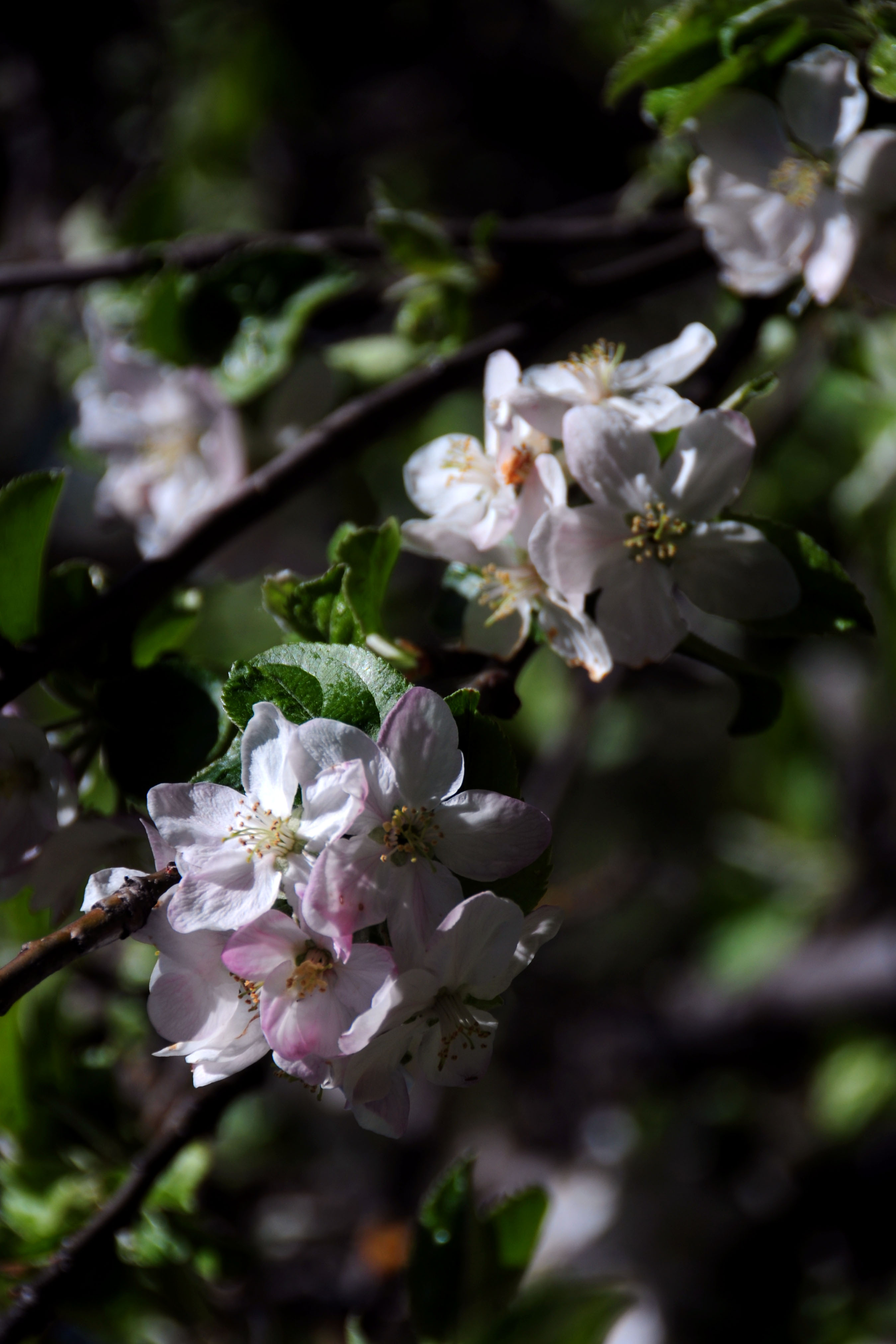
A flowering tree, just above the two signs.

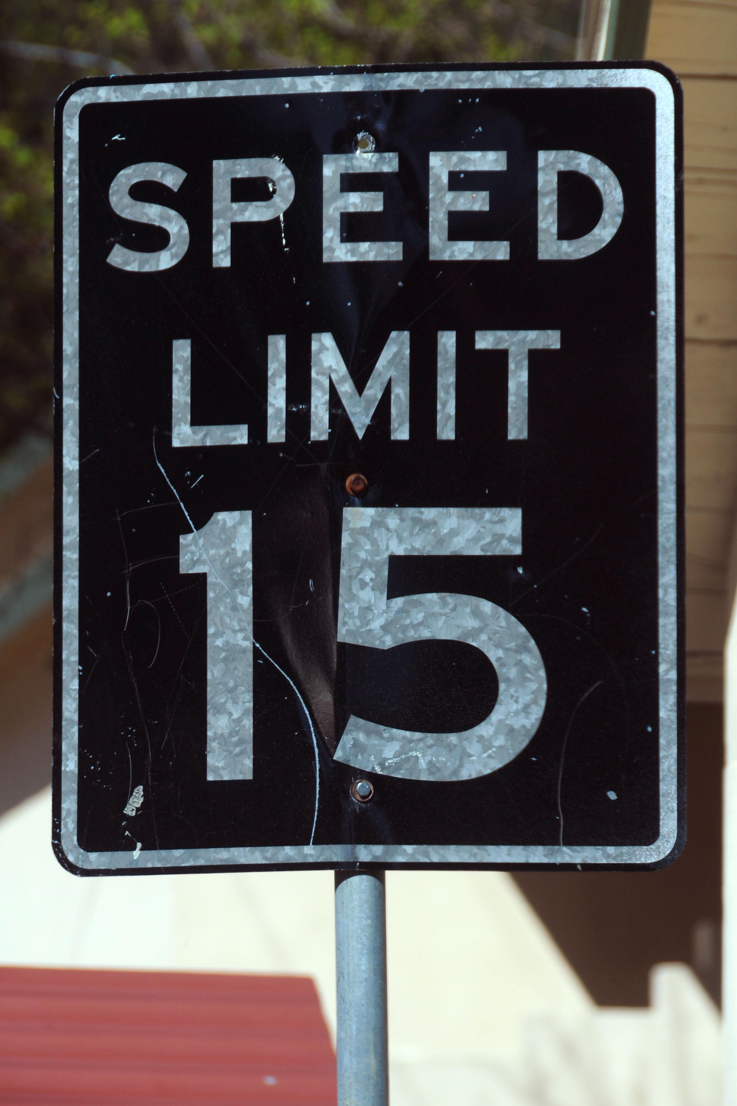
This old speed limit sign is in the same general area.
And one going the other direction.
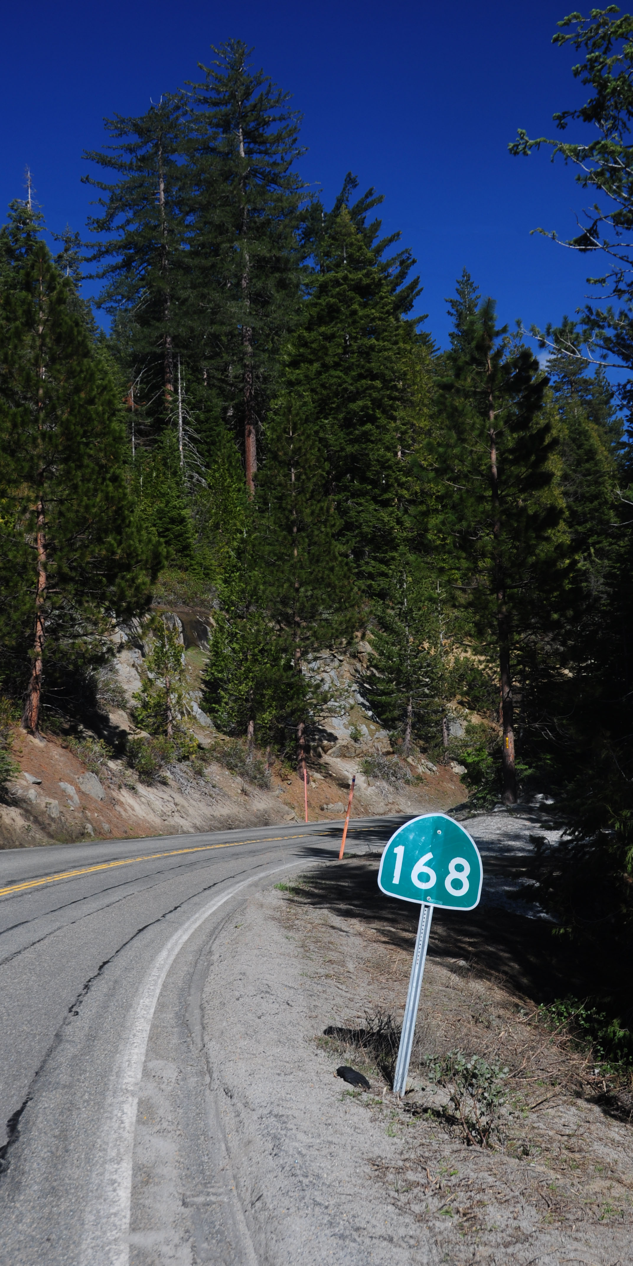
This route marker appears to be missing something.
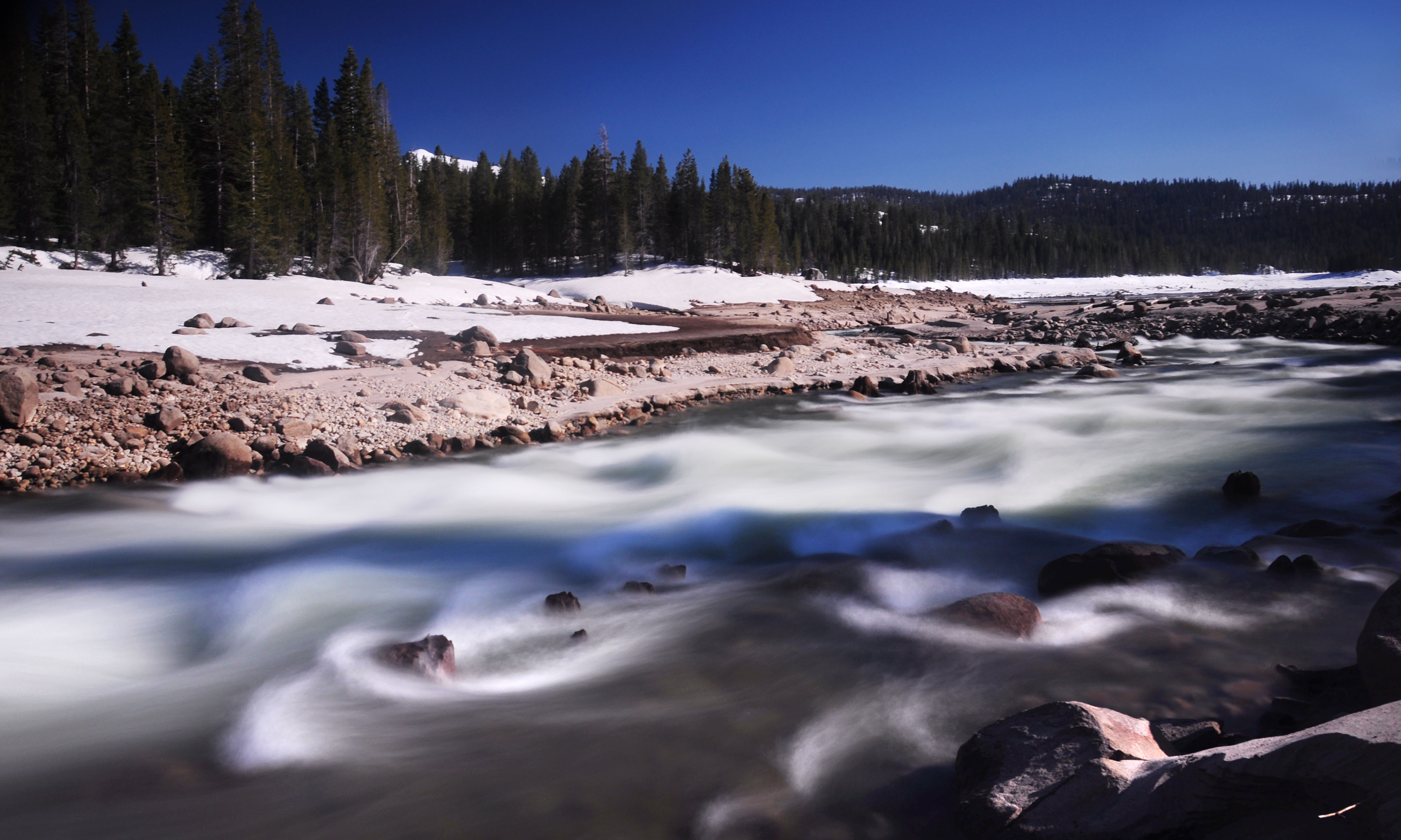
The river flows down towards Huntington Lake.

The source of the river. Everything’s one large hydroelectric complex.
One last photo, showing the perils of shooting into the sun. I turned this one nearly black and white.
that’s all, folks! next up … photos from some other trip! I’ve only got a backlog of 30,000 photos or so!