
Third day of the Alaska trip from September 3rd, 2007.
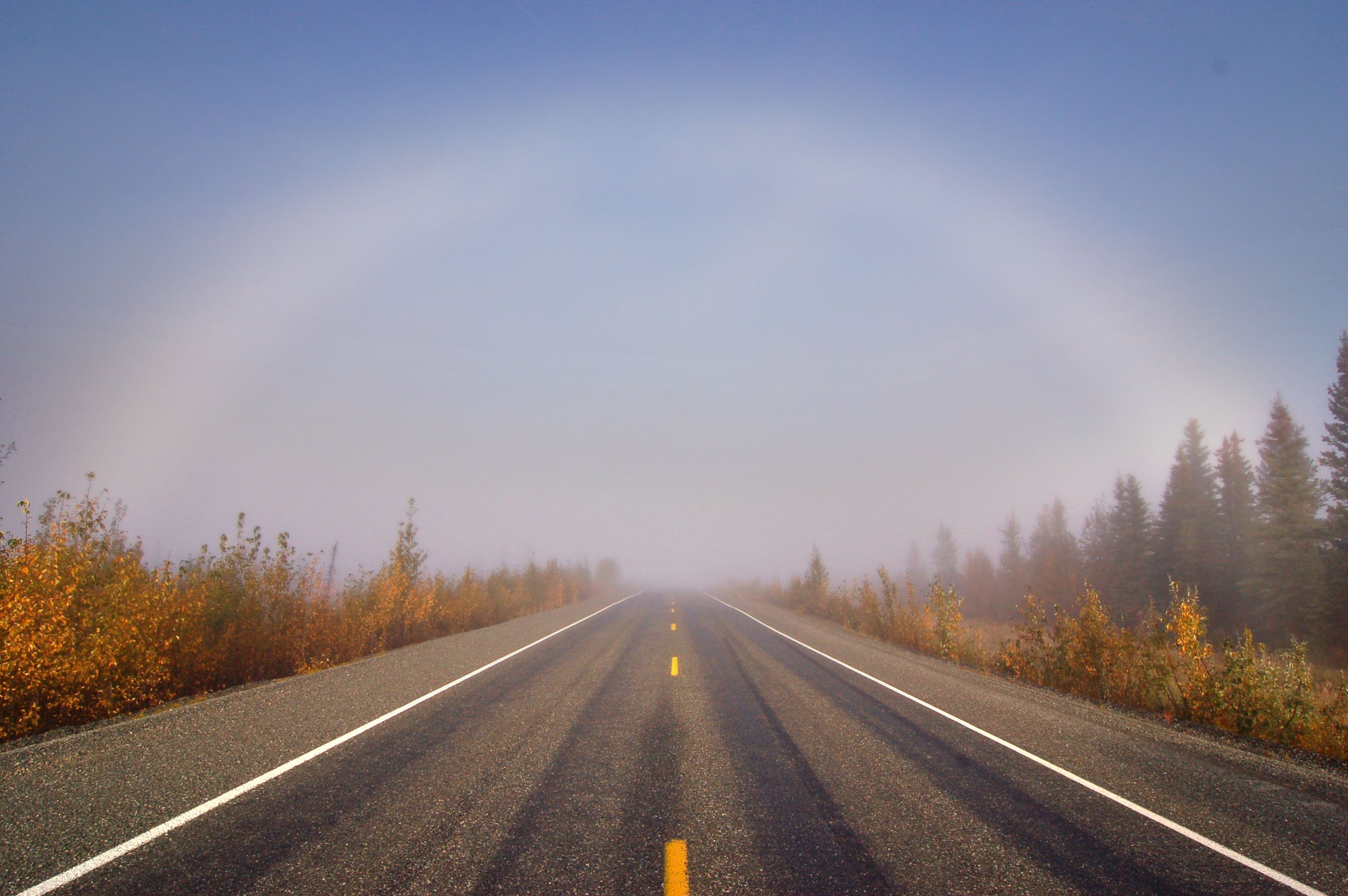
A fogbow, just past Tetlin Junction.
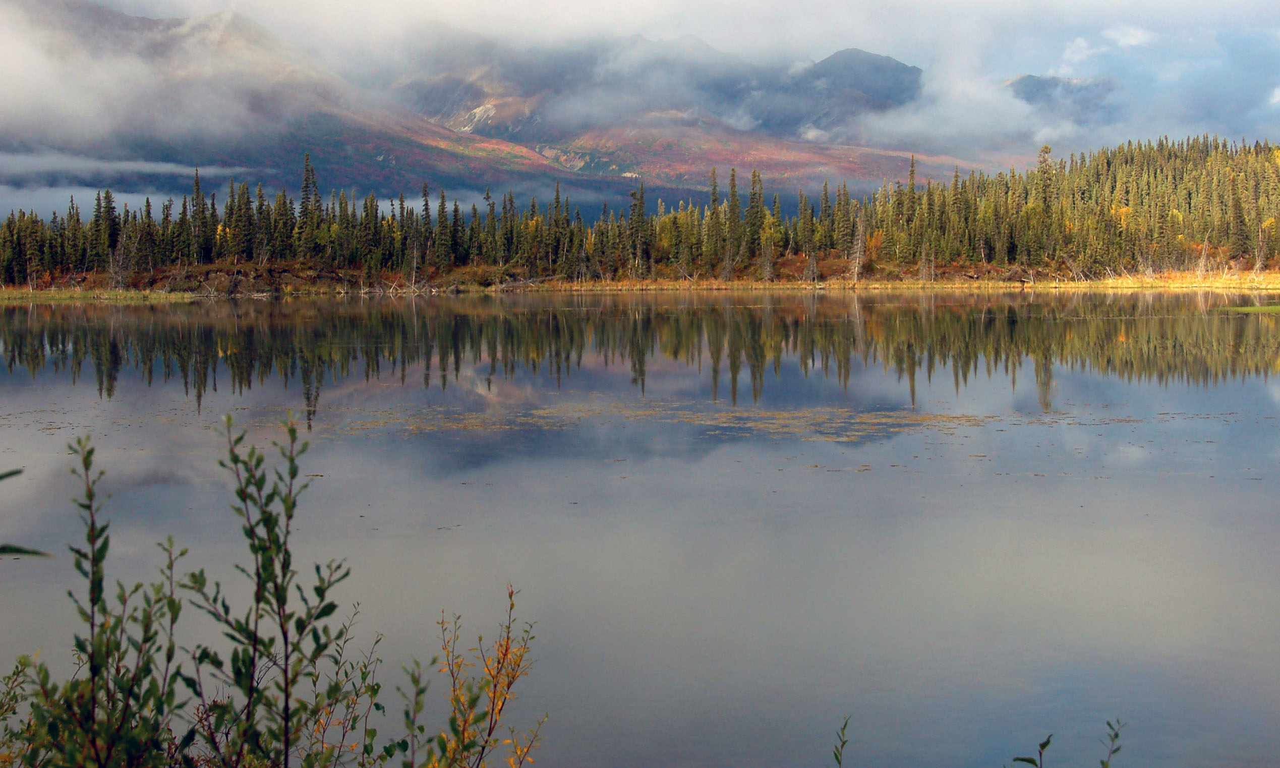
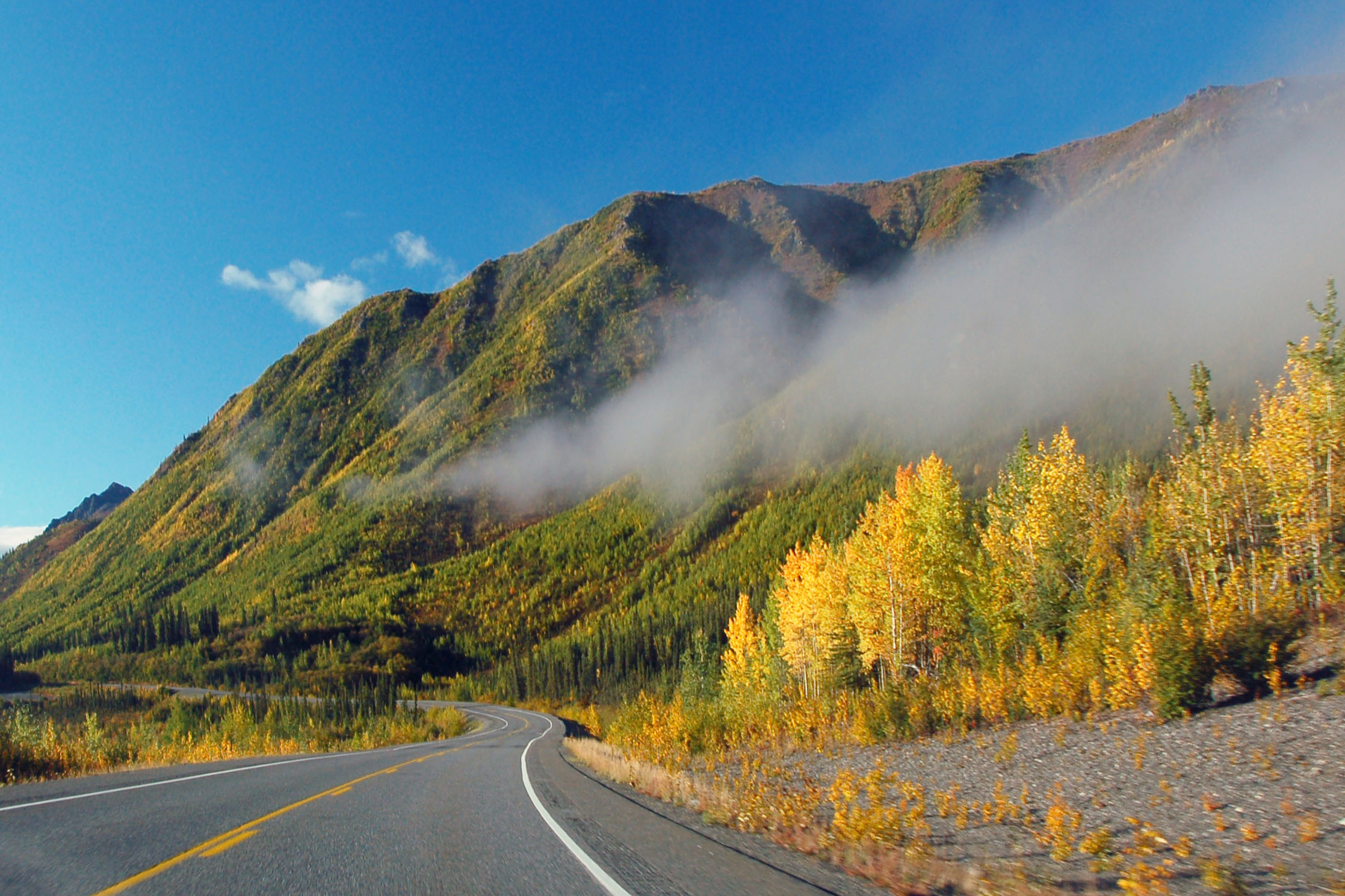
Mountains in the fog. Not that far north of Glennallen along highway 1.
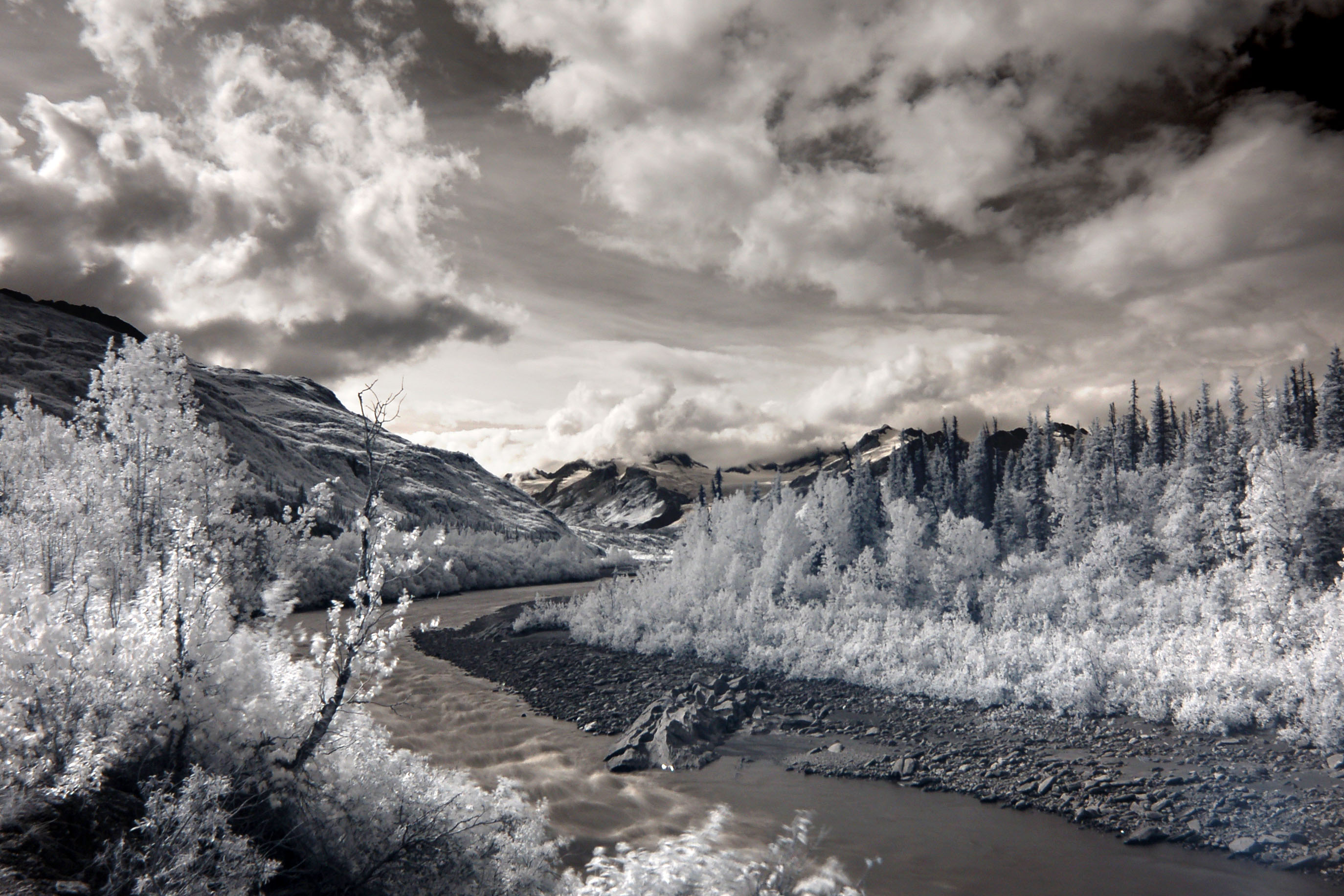
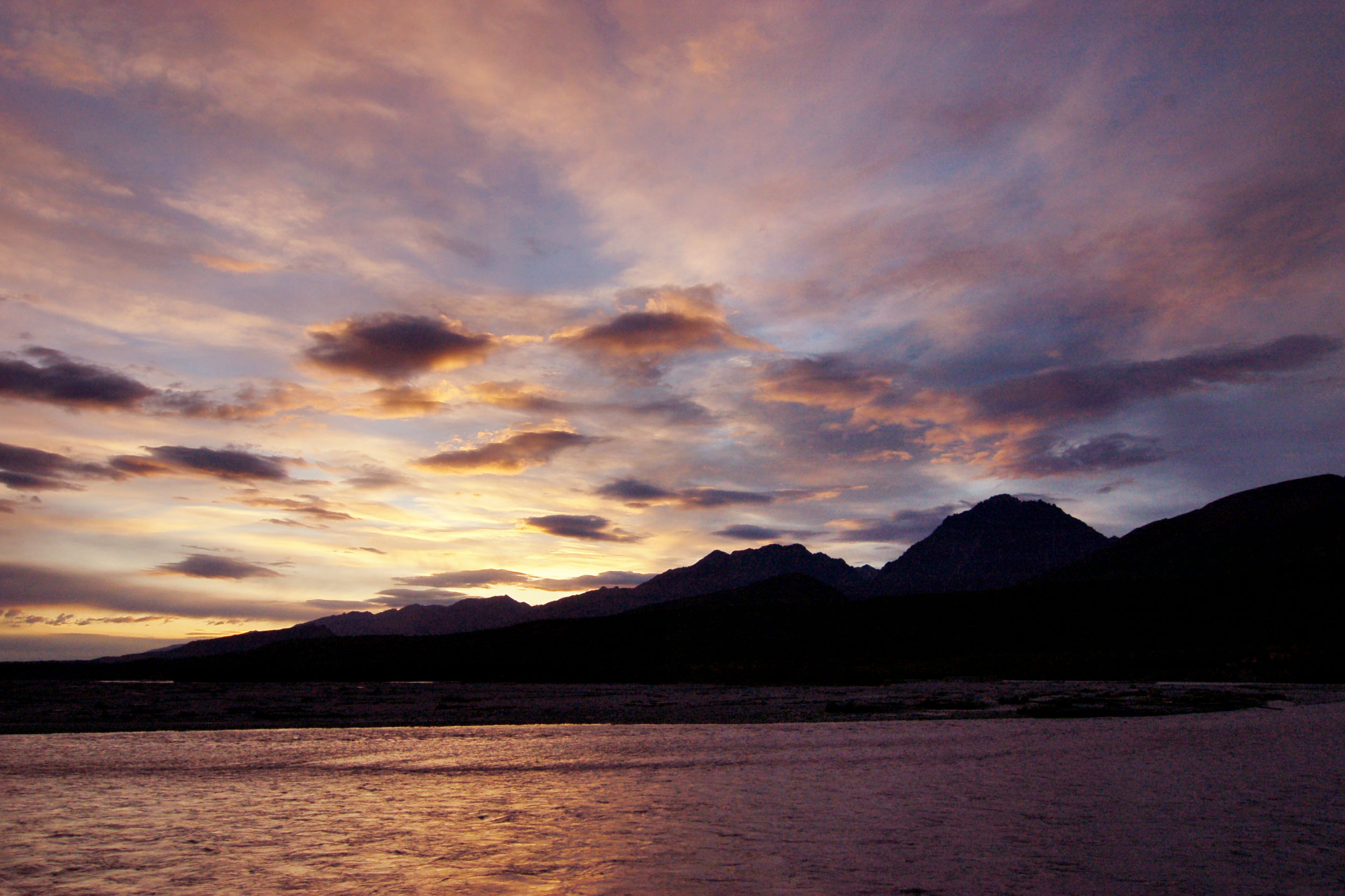
On the way to Valdez, along the Copper River.
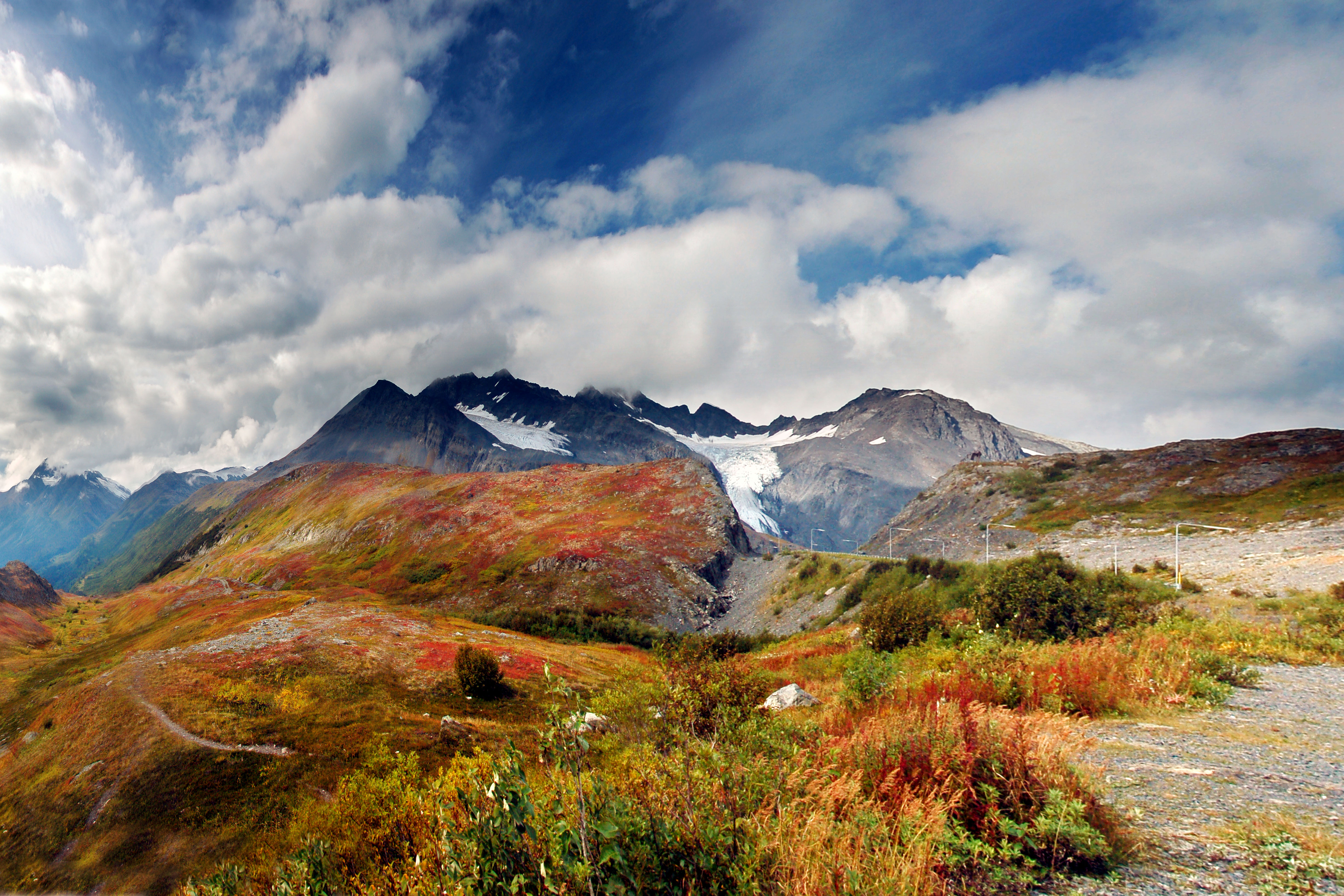
Worthington Glacier, as seen from the top of Thompson Pass. This panorama takes up about 130 degrees, and thus, the original image is really quite large (5850×3900 pixels, 13 megabytes). I stitched it together from four wide-angle shots.
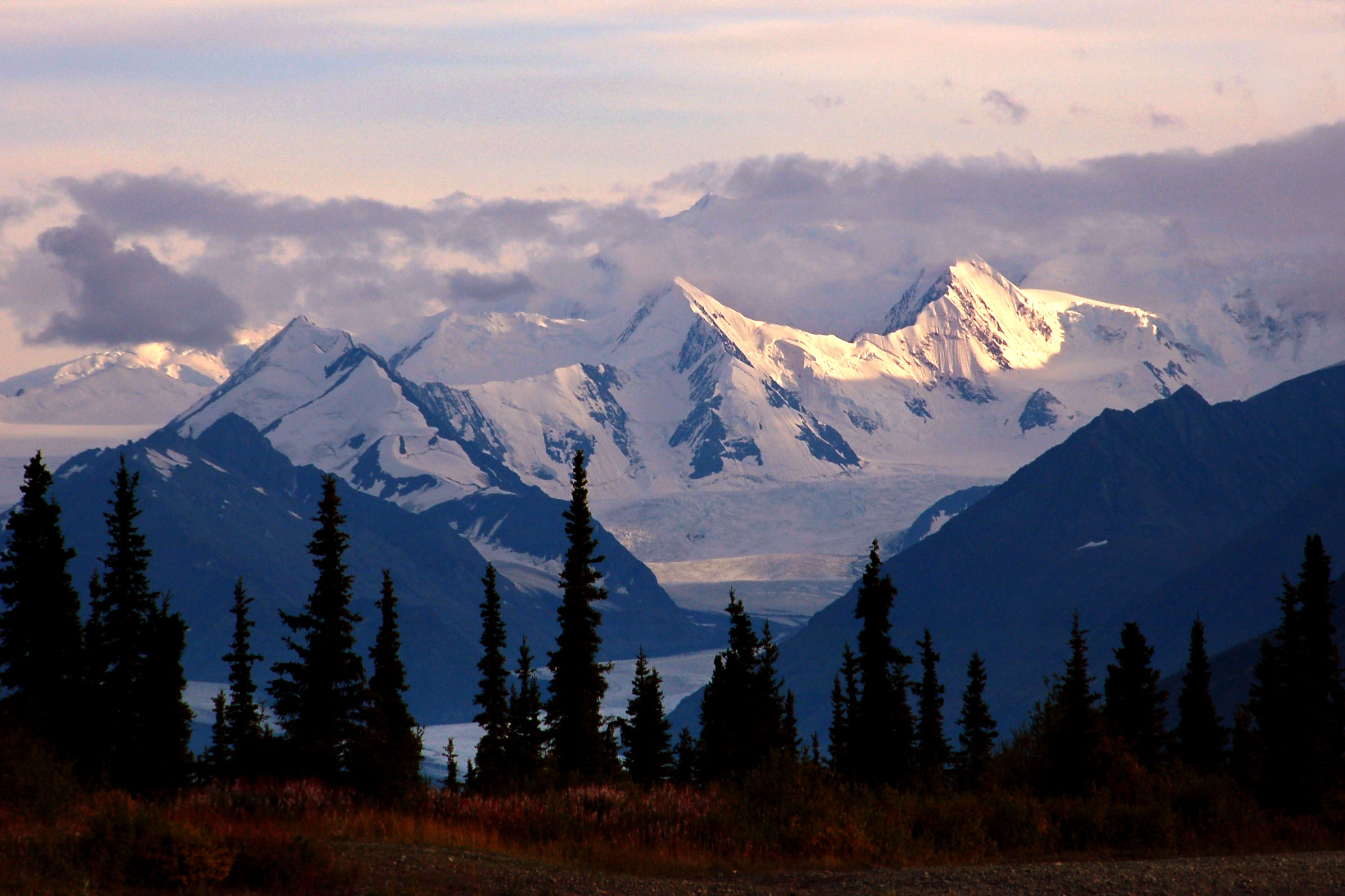
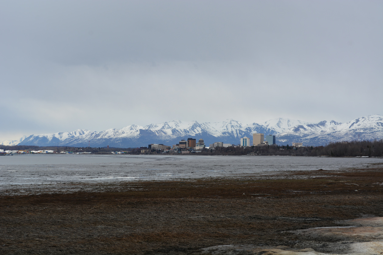
Mountains to the south of highway 1, between Glennallen and Anchorage.
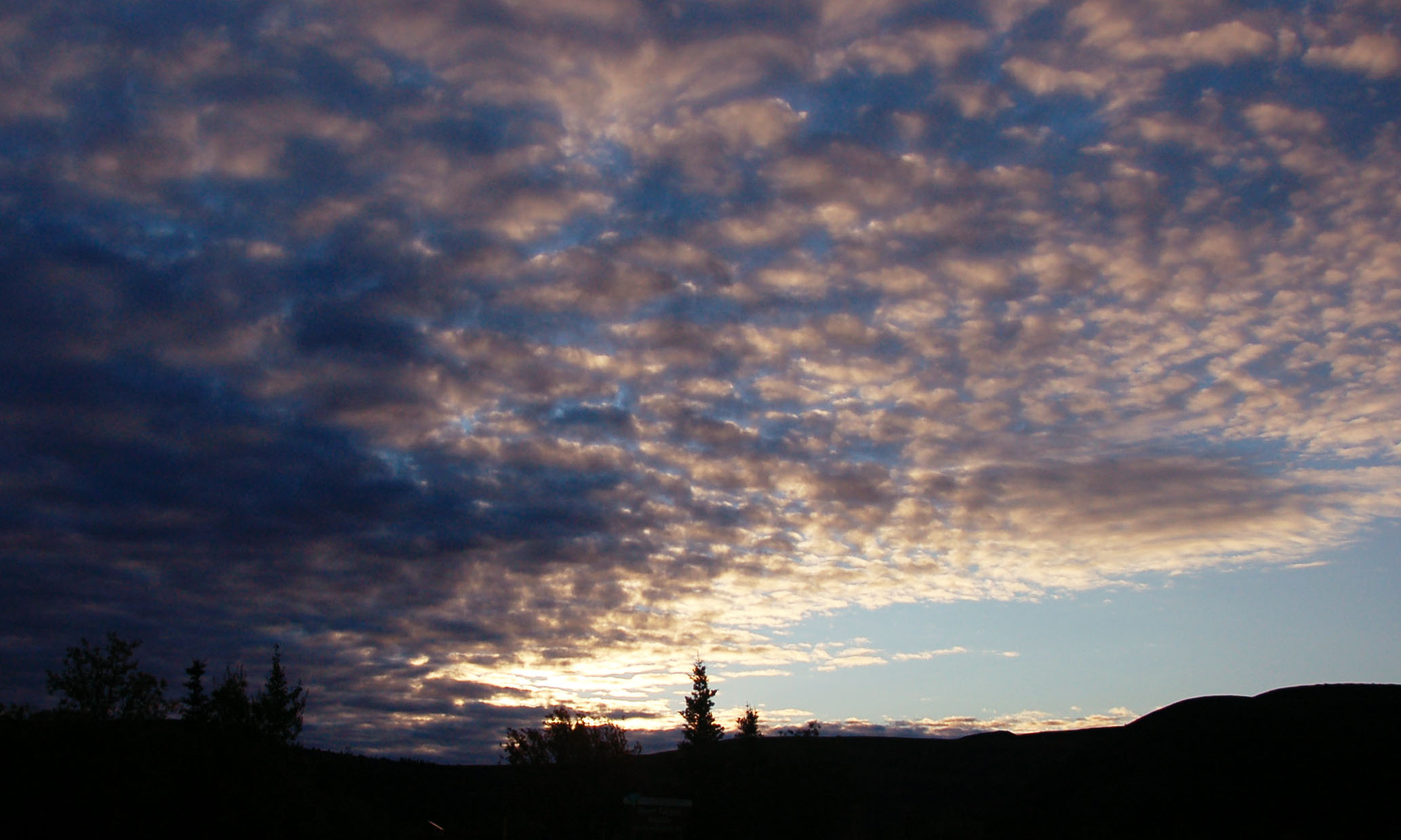
Sunset over the mountains.
Morning, somewhere around Tetlin Junction.
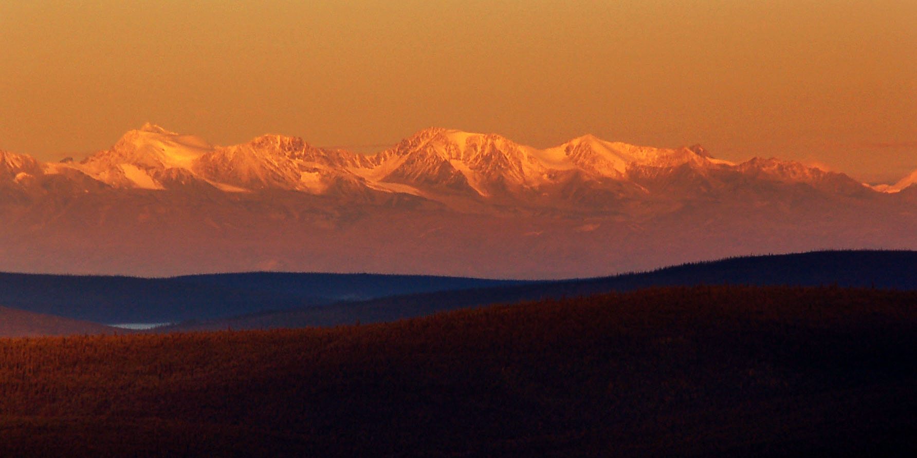
Distant mountains. They are about 100 miles away in Wrangell-St. Elias National Park.
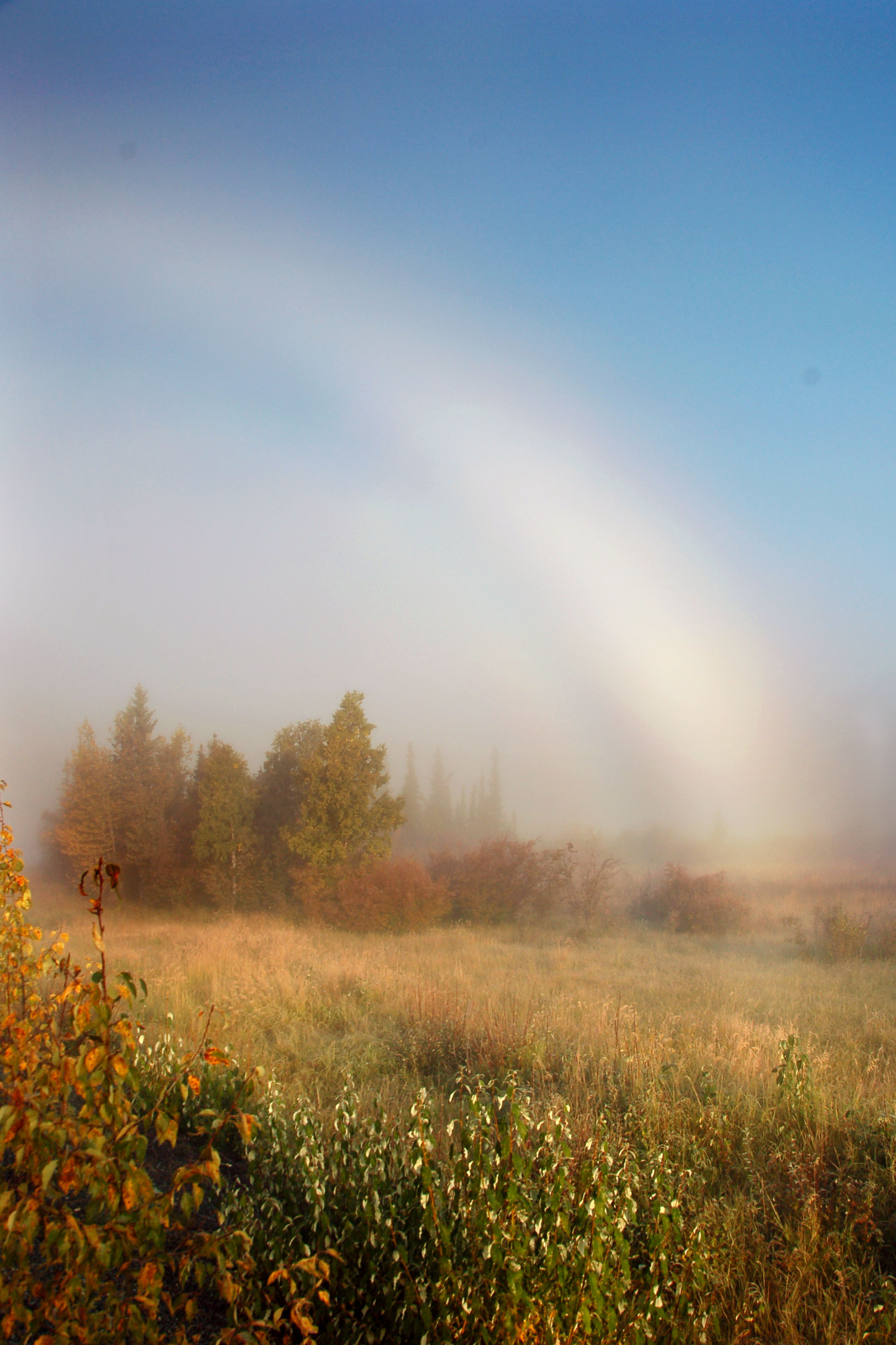
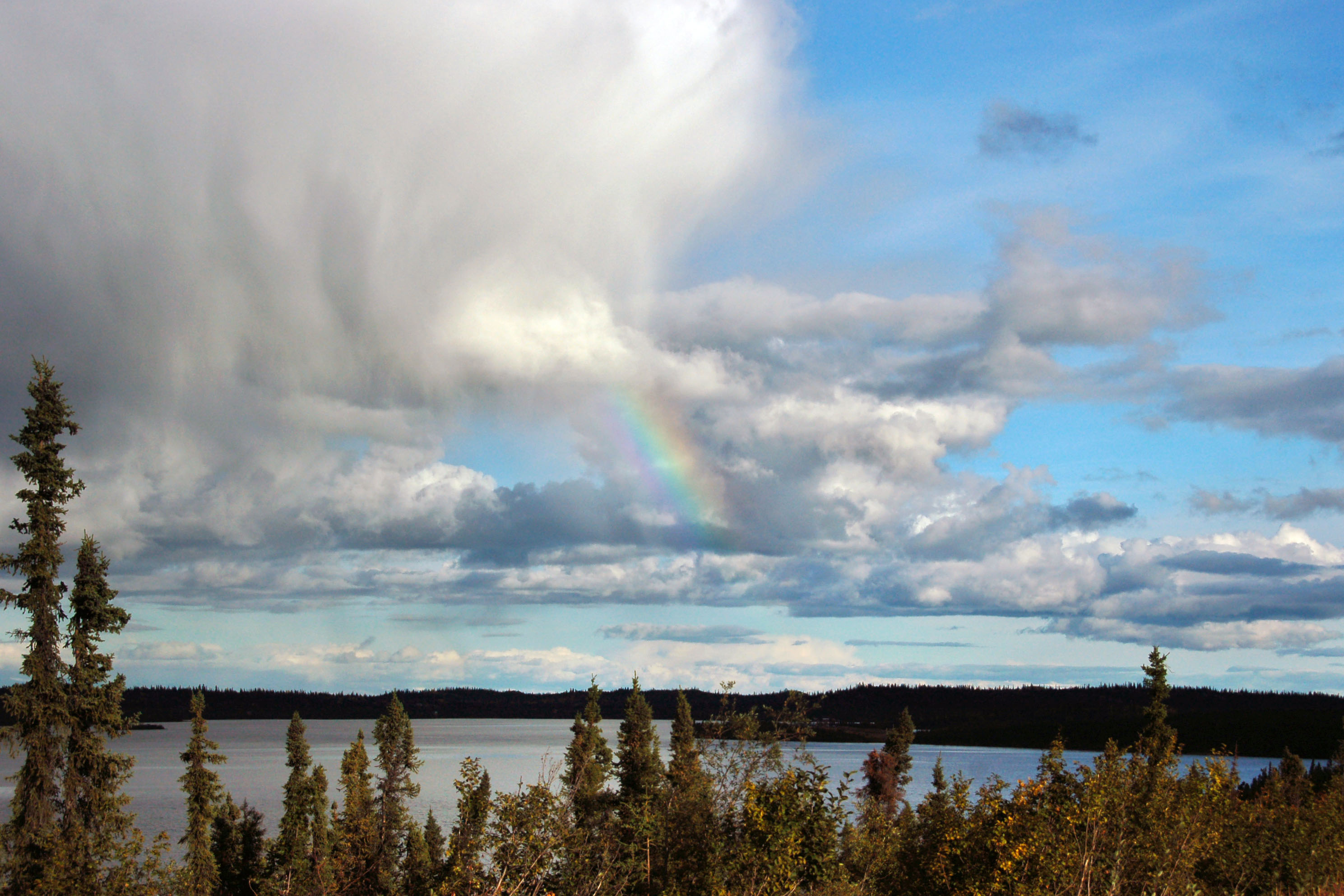
Another view of the fogbow at dawn.

Why is there a goat drinking from a municipal puddle in front of a gas station in Tok Junction? Your guess is as good as mine.
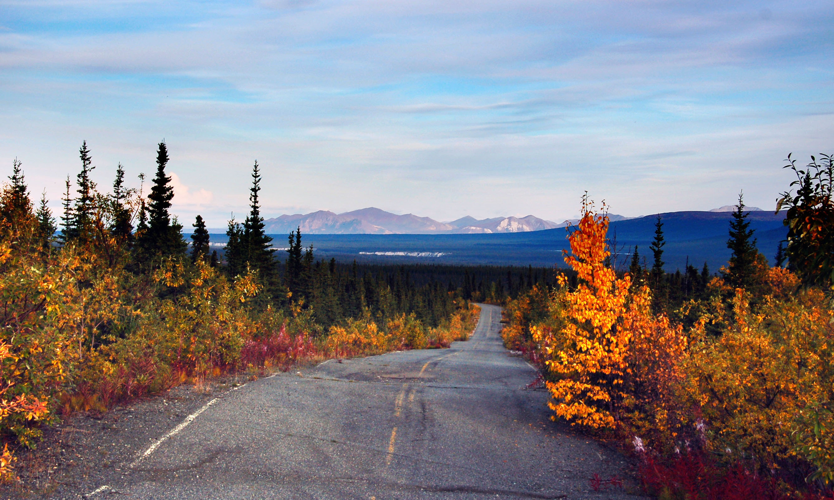
Highway 1 now, just after Tok Junction, heading south to Glennallen.
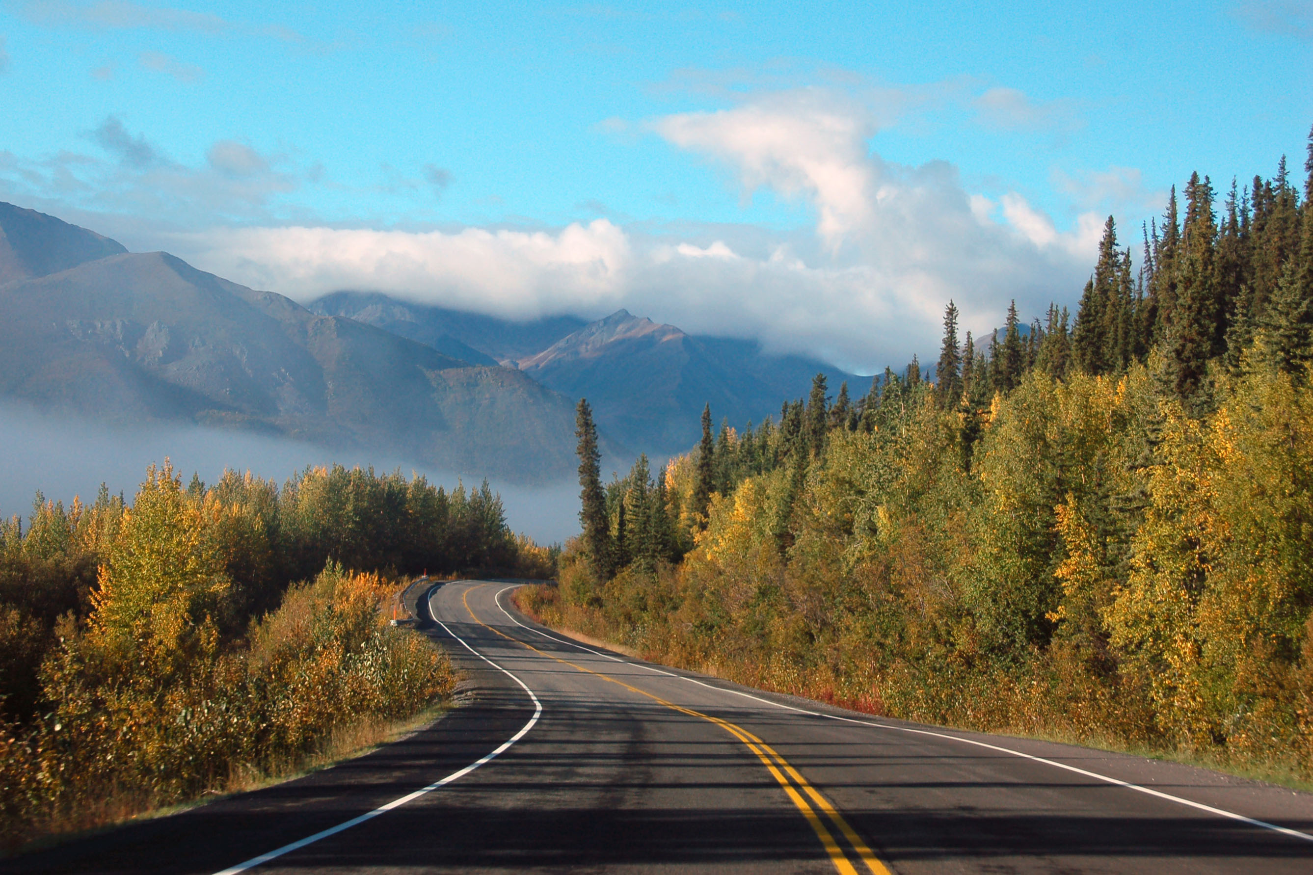
Note how the highway seems to take a strange angle before disappearing over the hill. That’s not an illusion: thanks to frost heaves, more often than not the road is going in some direction its designers hadn’t quite intended.
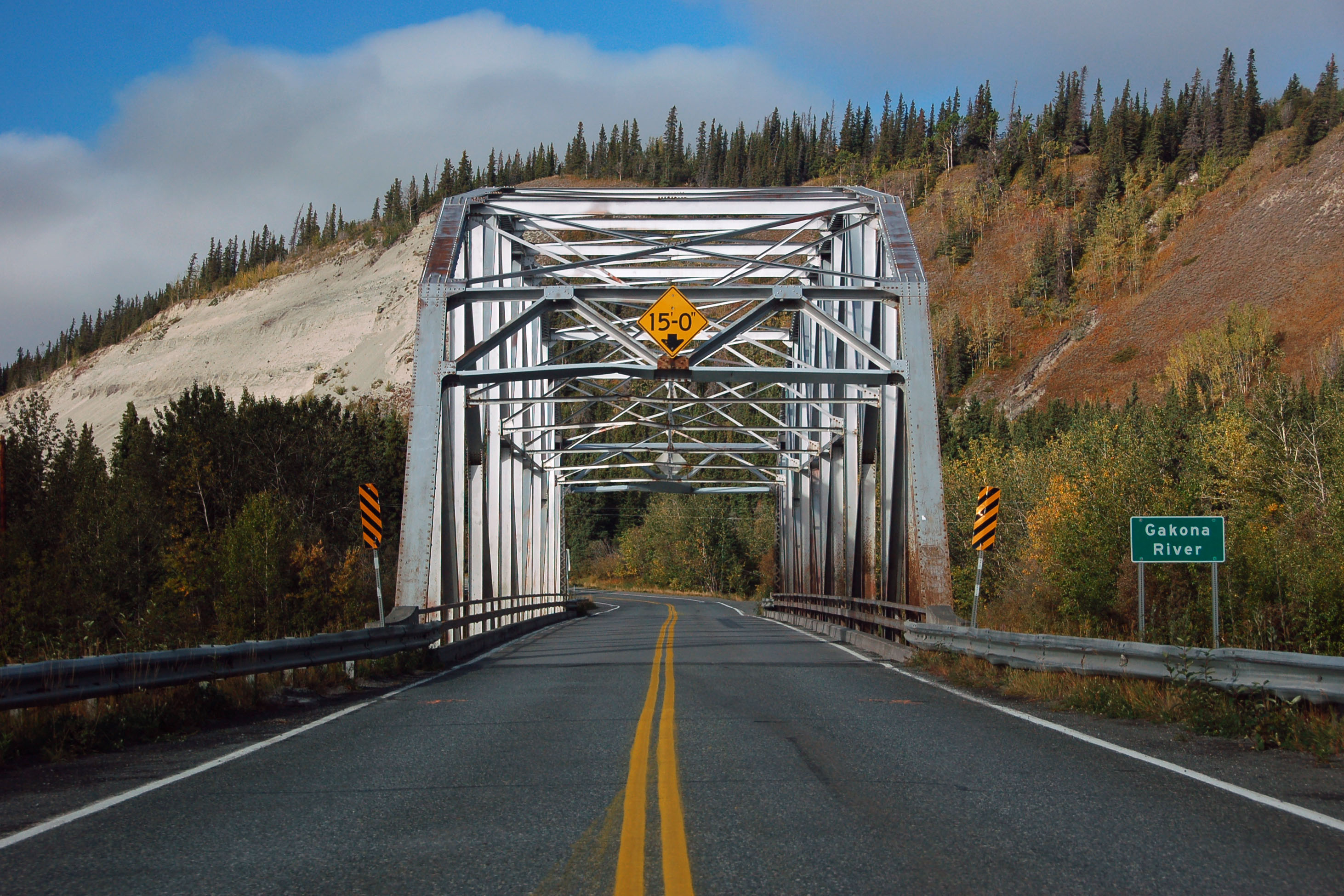
Alaska has the coolest truss bridges in the nation. Most were built – and built well – in the 1940s, and, thus they do this job to this day.

Specialization at work.
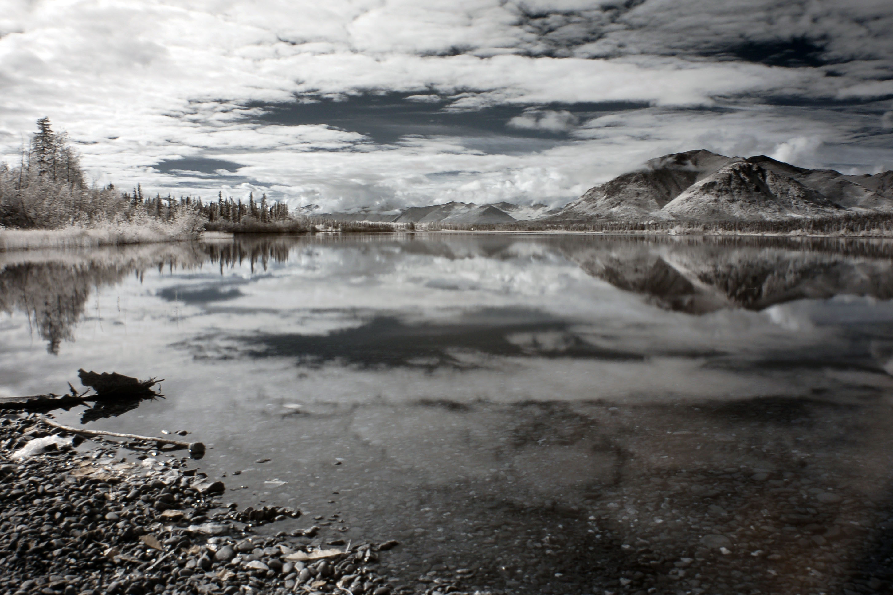
A lake. South of Glennallen, now, along highway 4 on the way to Chitina and Valdez.
Why look at that, another lake. Lots of ’em in Alaska, especially in September when there aren’t quite as many ice patches.
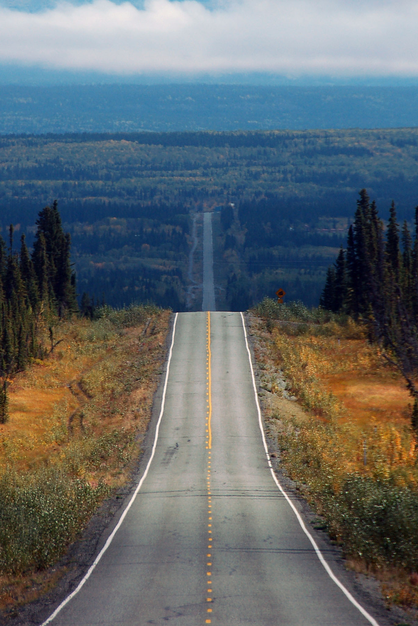
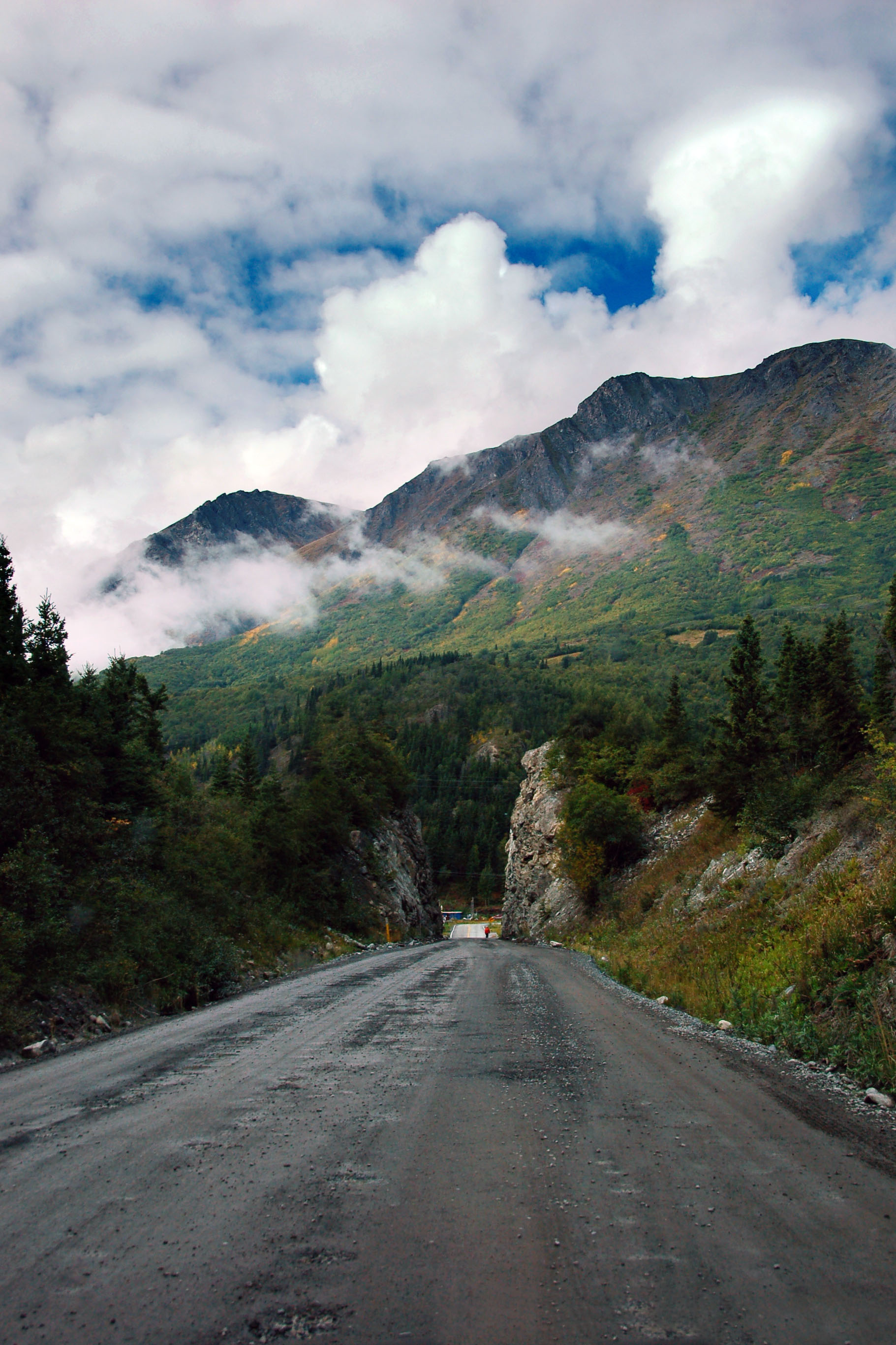
Up, then down, then up again. Highway 10 to Chitina.
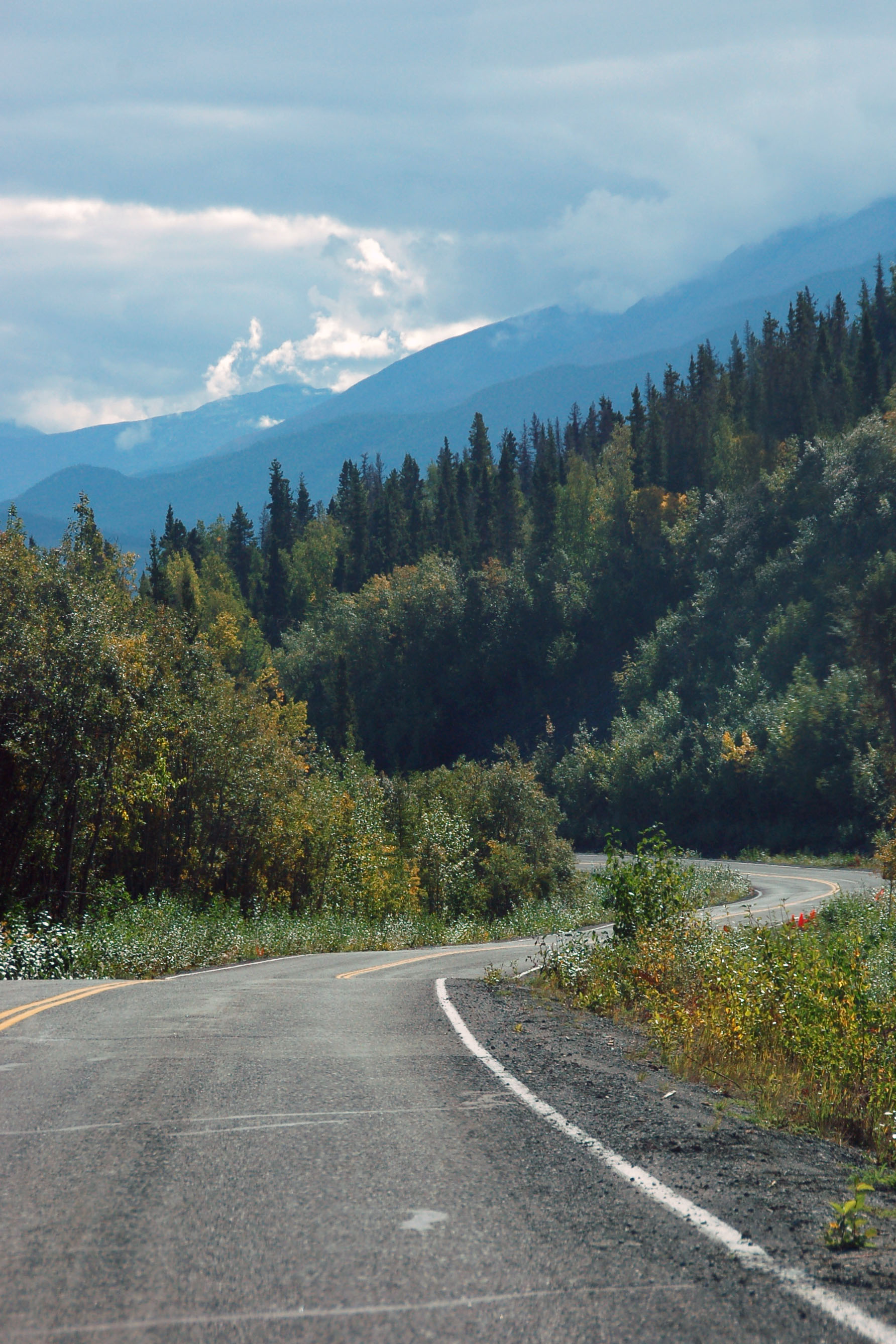
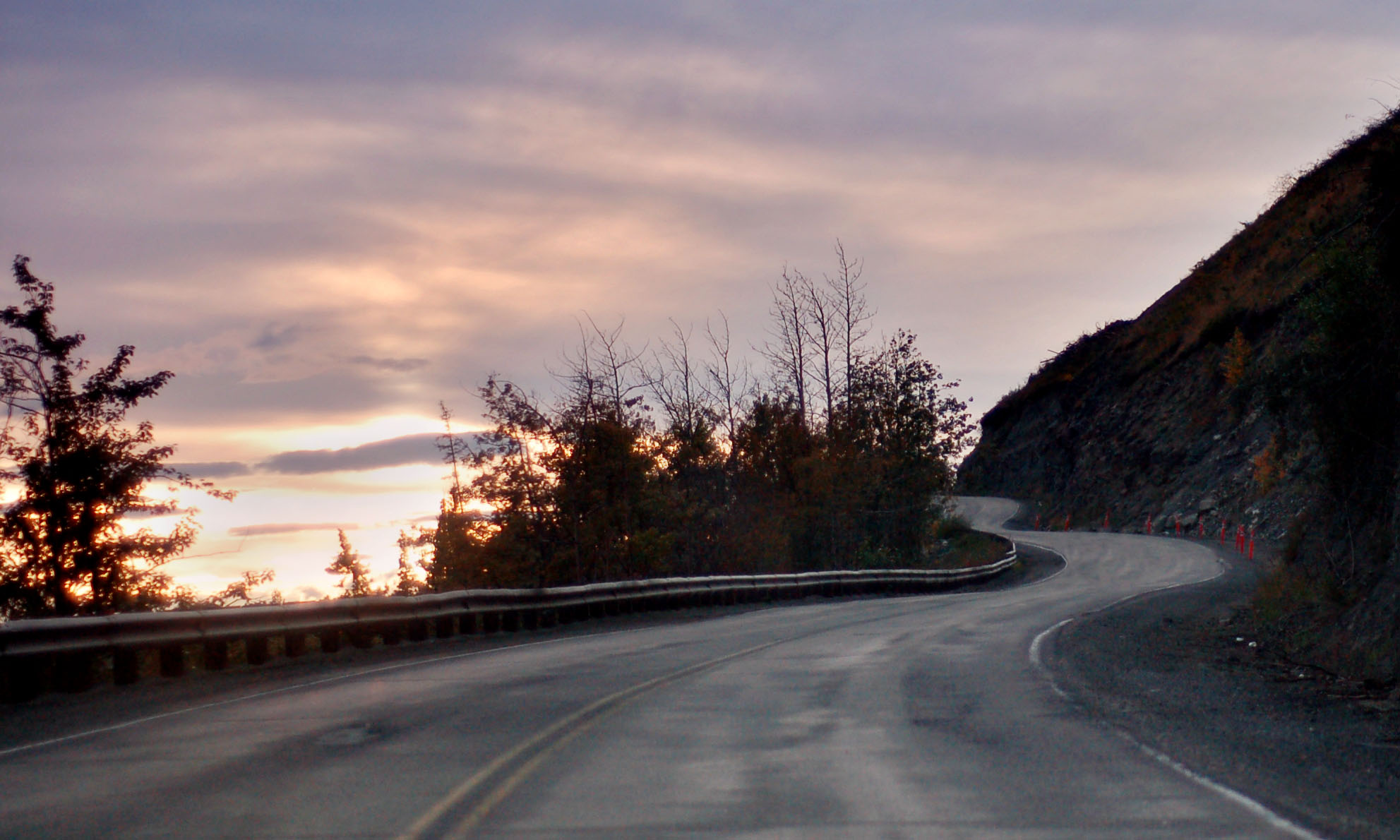
This is where the road starts to curve.
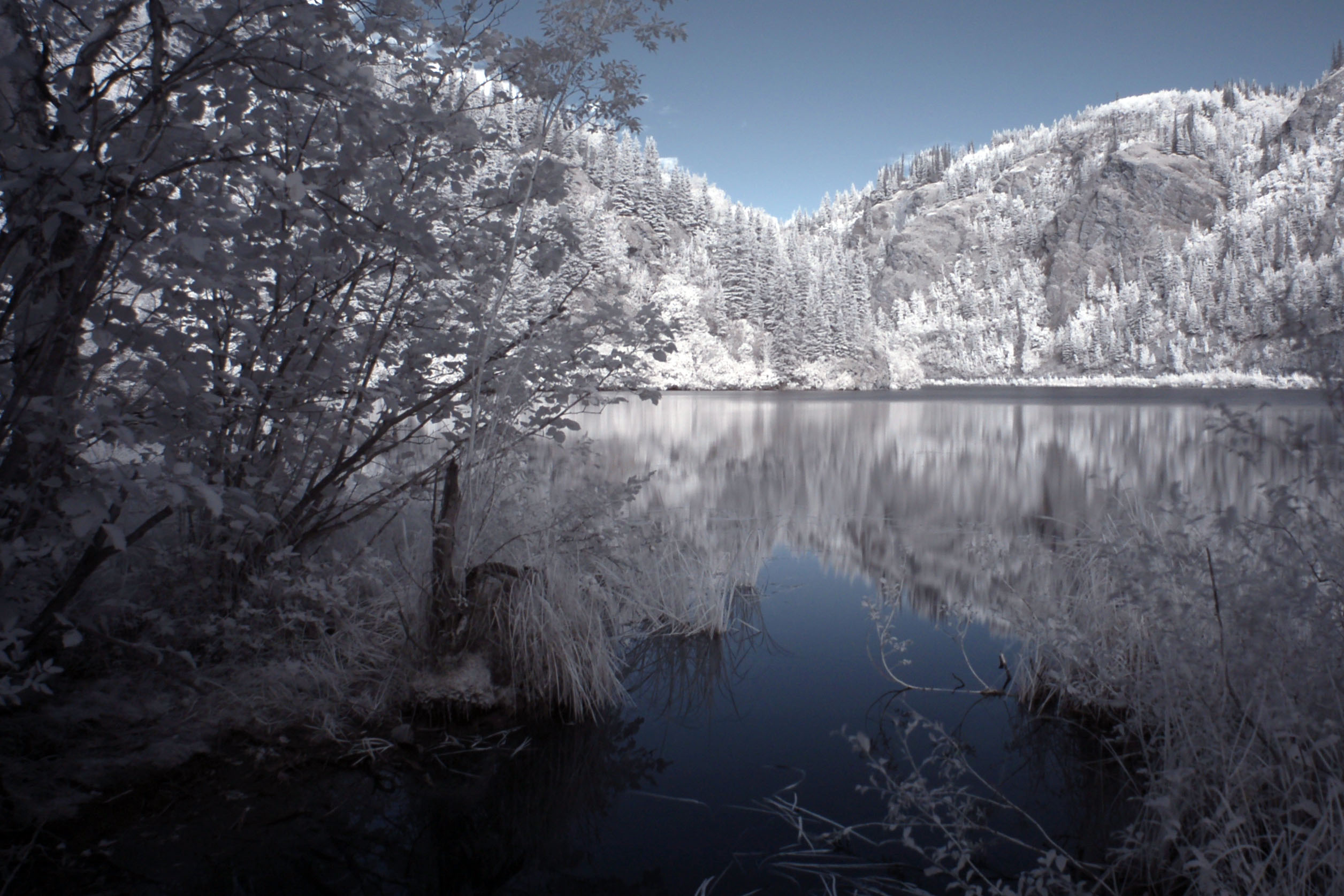
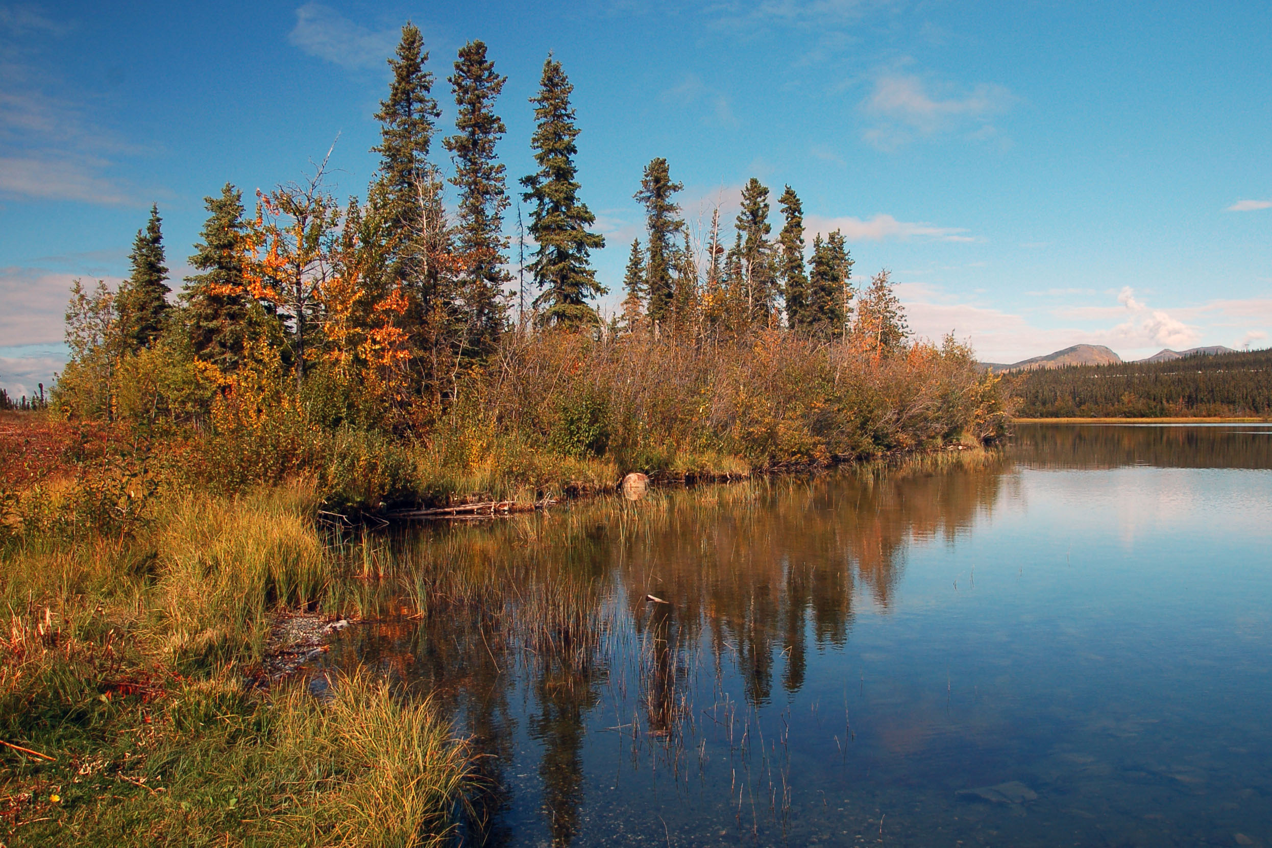
Another lake, along highway 10.
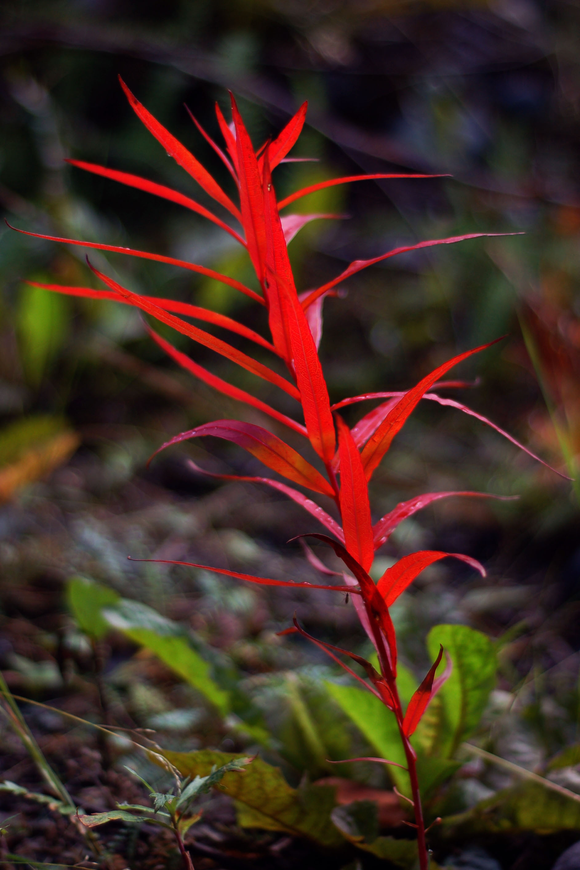
A little red plant by the shore of a lake. Getting close to Chitina.

Now that is a rock cut. It’s about ten feet wide. Yep, this is one of Alaska’s numbered, primary highways. Just past the town of Chitina on route 10, heading into Wrangell-St. Elias National Park.

Distant mountains, visible as we make it through that rock cut.
Back westward through the rock cut. It’s time to turn around, because the road beyond to the east gets progressively muddier and muddier. At some point, it’s probably some stepping stones across the water, and after that it’s Jesus time.

That sign looks like it’s been there a while.

Remember that long, straight section coming in?
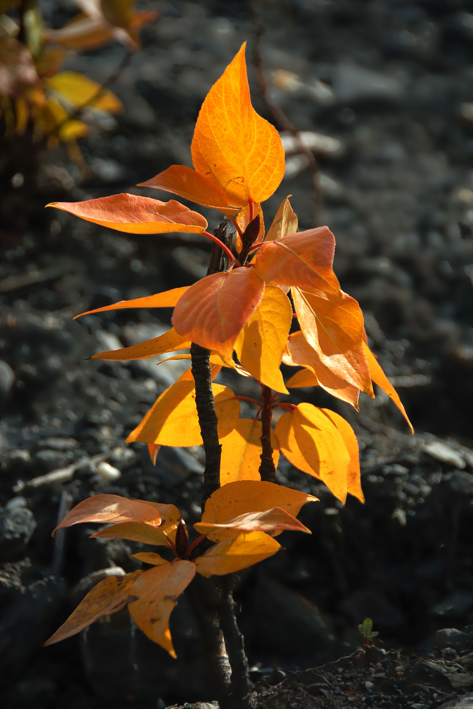
Another cute little bright-leaved plant. Alaska has plenty of these.

Oh dear, it be raining. This happened, off and on, throughout the day.
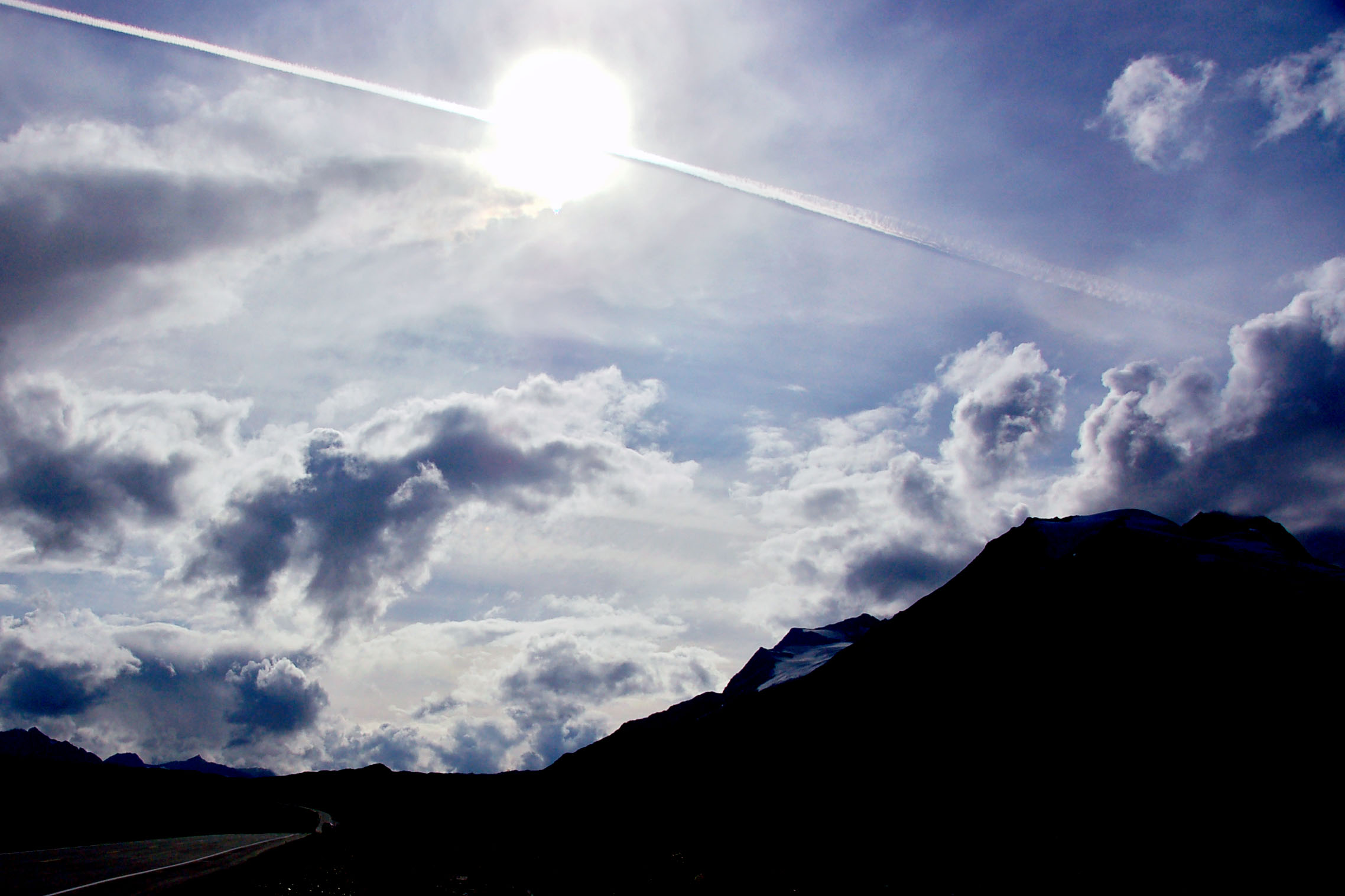
An airplane, decisively cutting the sun in half. Worthington Glacier in the foreground.

This is how we get back to the airport on time.
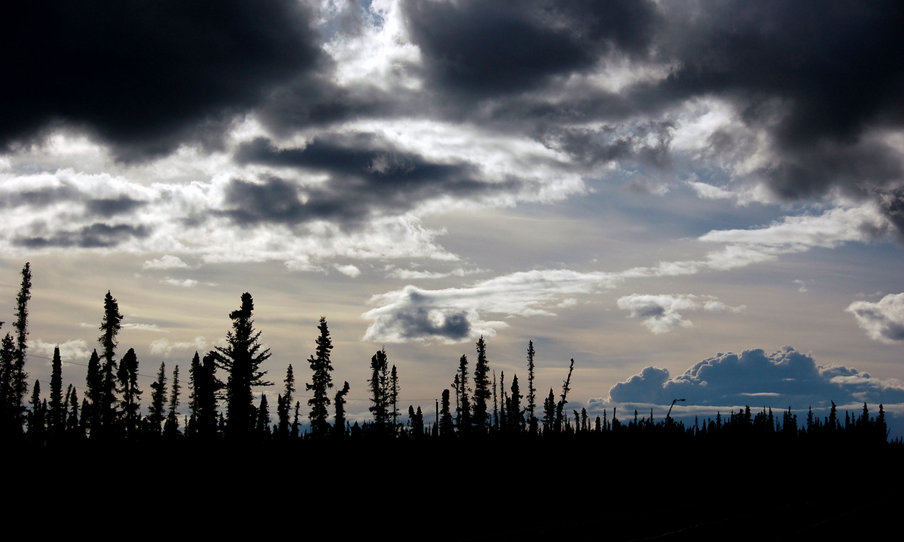
About here is when I gave up trying to decide if clouds were ominous, or just strange. These pitch-black ones didn’t yield a single drop of rain.
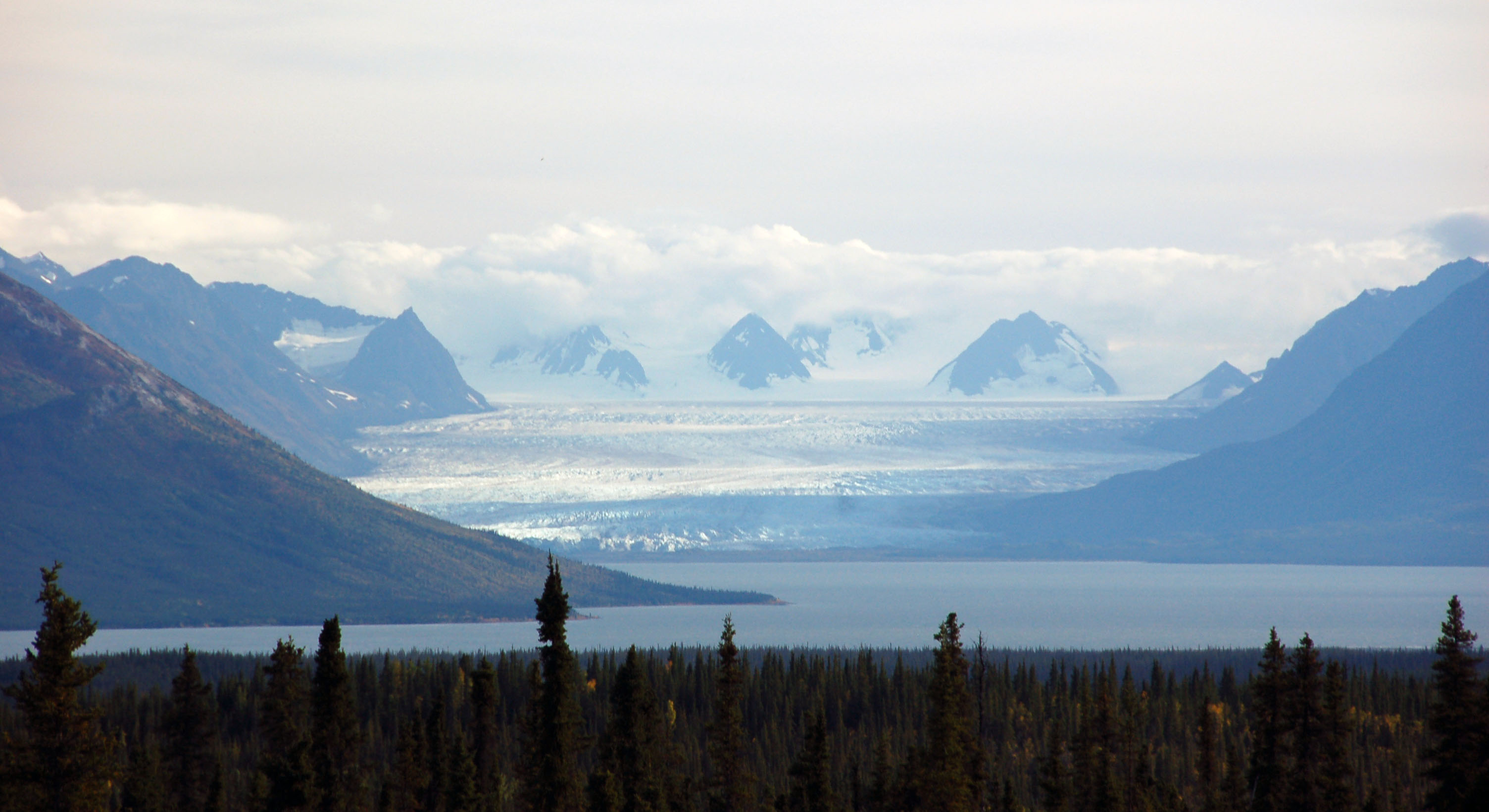
Distant glaciers. Prince William Sound, with the peaks about eighty miles away, as seen from Highway 1 between Glennallen and Anchorage. Starting to inch towards sunset.
Now these clouds certainly are providing rain.
Why is this road even more demented and frost-hoven than average? Because it’s an old alignment! Pretty recently abandoned – about ten years ago, at most – but an old alignment just the same.
The road to sunset.
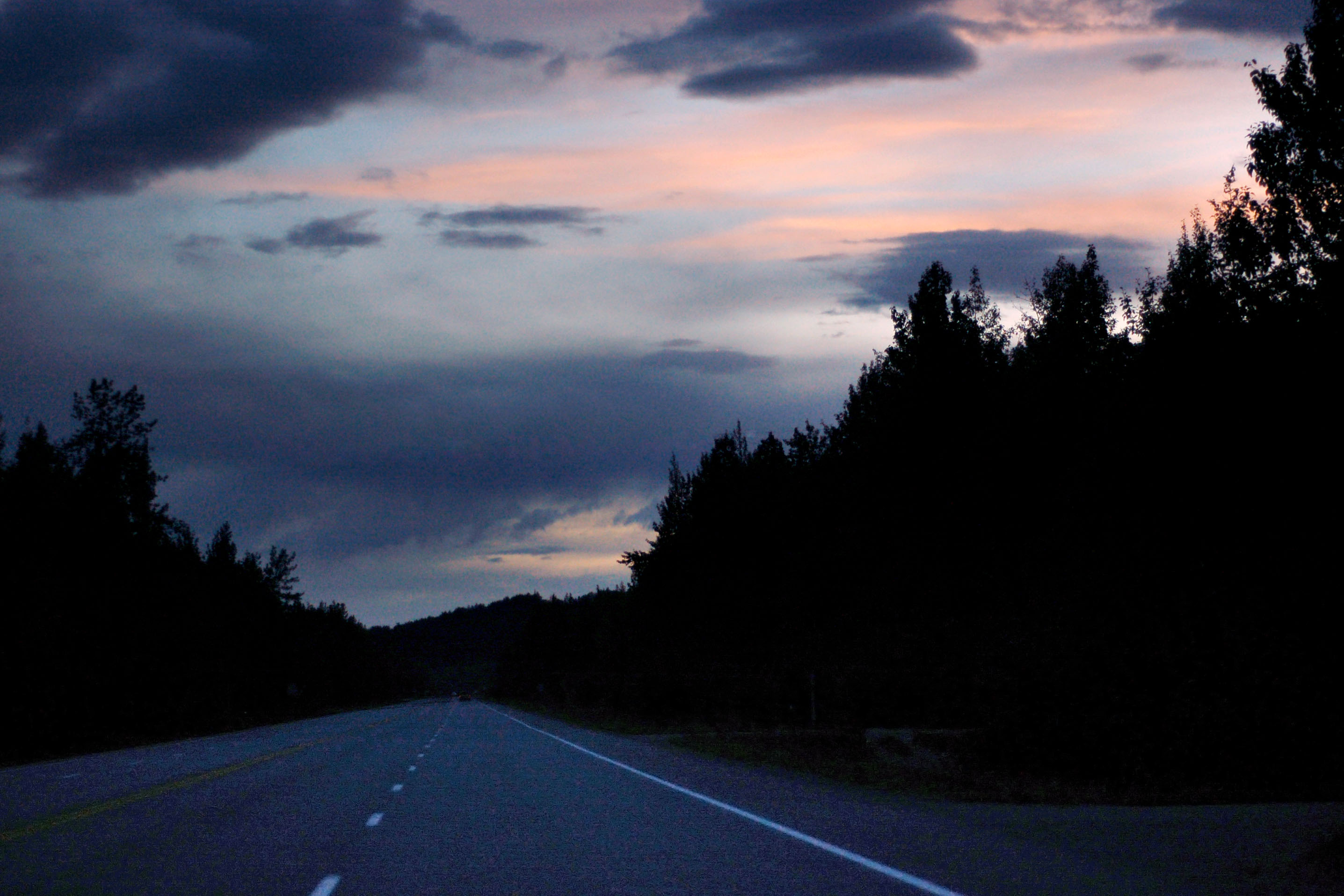
Dark road back to Anchorage. One hour to get back to the airport!

Getting back to civilization. Nice high beams, champ.

Get gas, pack, drop off rental car, and back down south we go.
Next up? Maybe some Oklahoma photos from last week. Whatever I decide, they’ll be posted after I return from my upcoming South Dakota trip.