California 266 loops 12 miles west through extreme southeasterly Mono County. Beginning and ending at the Nevada state line (Esmeralda County), the state route traverses desert areas within Fish Lake Valley, connecting with California 168 at the settlement of Oasis. Nevada 264 extends north to Dyer through Fish Lake Valley and U.S. 6 in northwest Esmeralda County. Nevada 266 continues the multi state route east into the Palmetto Mountains and across Lida Valley to U.S. 95.
This is arguably one of the more isolated state routes in the state system. The lone junction along the state route is with California 168, which leads southwest toward the Owens River Valley and Big Pine at U.S. 395.
|
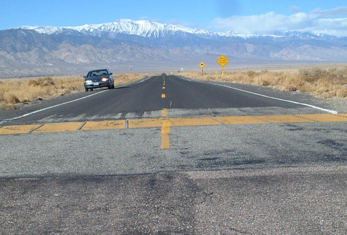
| Nevada 266 transitions into SR 266. The vast White Mountains spread along the western horizon. SR 168, located 4.4 miles ahead, traverses them en route to the Owens River Valley. 01/19/02 |
|
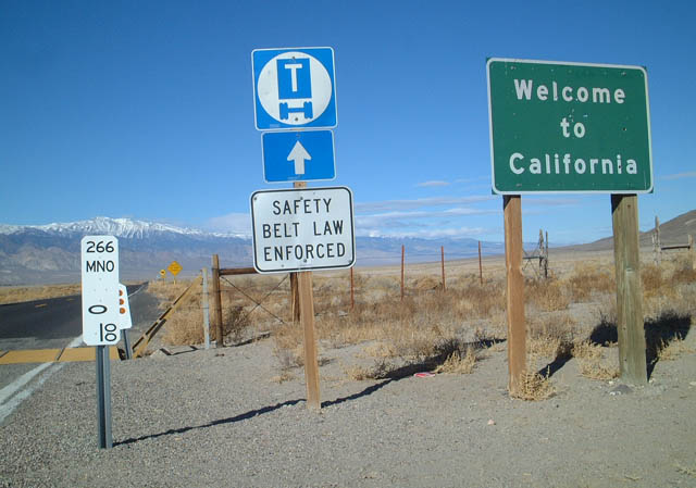
| Welcome to California sign and postmile 0.00 for SR 266 at the Esmeralda-Mono County line. 01/19/02 |
|
| This is the first reassurance shield along SR 266 north after the Nevada state line. 01/19/02 |
|
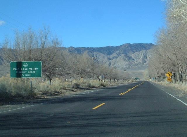
| SR 266 turns west ahead of Fish Lake Valley Wash on the approach to SR 168 at Oasis. 01/19/02 |
|
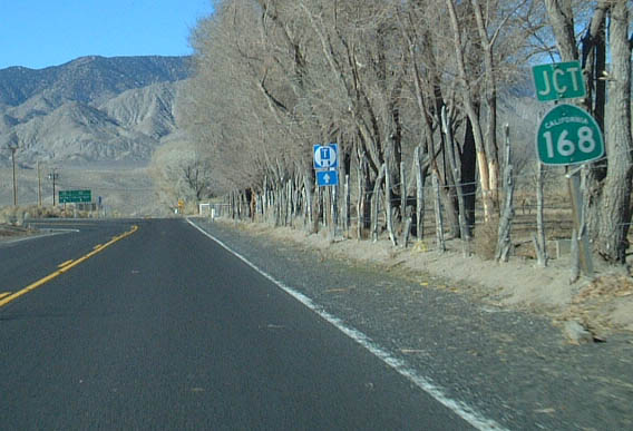
| Entering the settlement of Oasis along SR 266 west at the eastern terminus of SR 168. Oasis consists of a handful of dwellings and agricultural fields. 01/19/02 |
|
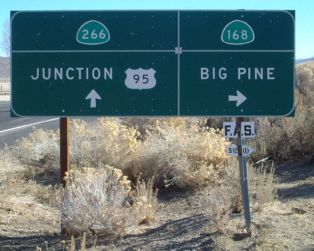
| SR 168 navigates southwest from Oasis and crosses scenic Gilbert Summit (el. 6,374 feet) and Westgard Pass (el. 7,271 feet) before descending into Big Pine, where it meets U.S. 395 south of Bishop. 01/19/02 |
|
| Leaving Oasis and SR 168, SR 266 resumes a northward heading through Fish Lake Valley to become Nevada 264 en route to Dyer, Nevada and U.S. 6 beyond the Volcanic Hills. 01/19/02 |
|
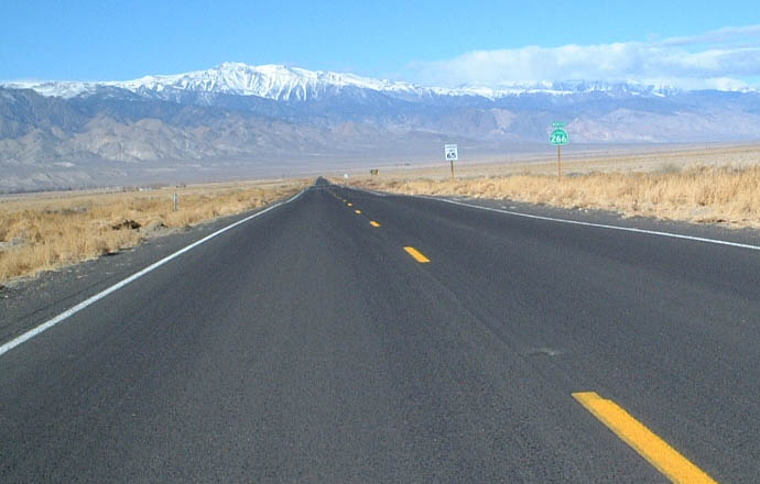
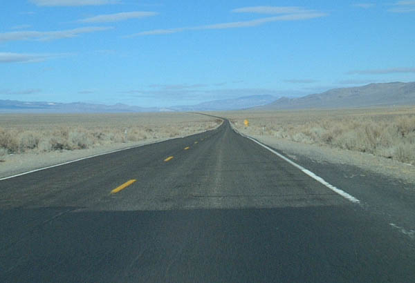
| Vast, desolate desert spreads in all direction as SR 266 traverses Fish Lake Valley between Oasis and the Nevada state line. 01/19/02 |
|
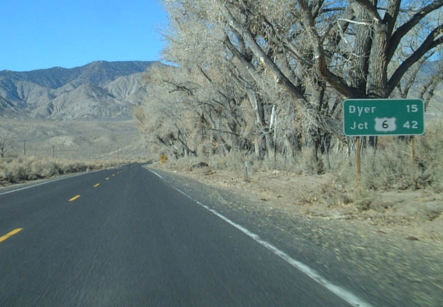
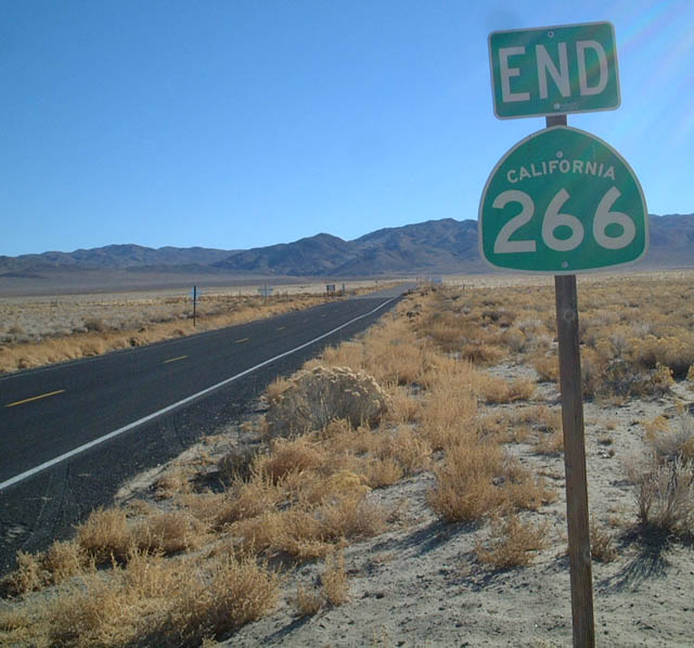
| Continuing north, SR 266 ends as Nevada 264 takes over along the highway north through Fish Lake Valley to Dyer. Dyer is the lone settlement within the Nevada portion of this desert valley. The highway extends north to meet U.S. 6 east of Montgomery Pass near the Esmeralda-Mineral County line. 01/19/02 |
|
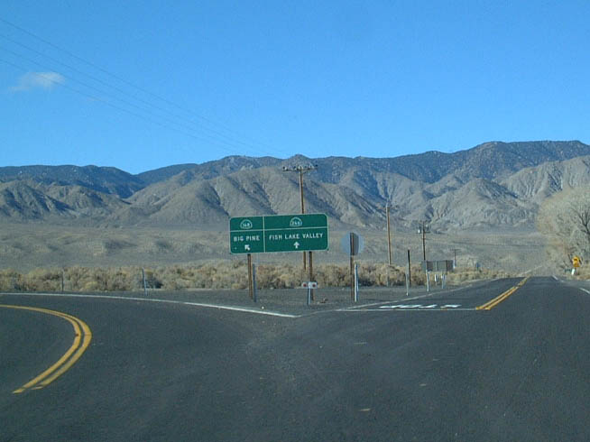
| SR 266 south at SR 168 in Oasis. SR 168 stems southward into the White Mountains, connecting Fish Lake Valley with U.S. 395 at Big Pine. A small "F.A.S." sign here marked the right-of-way for the federal-aid secondary highway system. 01/19/02 |
|
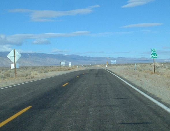
| Crossing into Esmeralda County, Nevada, SR 266 ends and Nevada 266 continues 40.1 miles to U.S. 95 via Lida Summit and Lida Junction. 01/19/02 |
Page Updated 06-26-2018.