Spanning a total of 32.5 miles within the central part of Wisconsin's peninsula, County S travels through Kewaunee and Door counties connecting Algoma with both Sturgeon Bay and Dyckesville. Beginning near the shoreline of Green Bay, Kewaunee County S spokes southeast from County DK and Dyckesville before turning east at County SS south of Bayview. The county trunk highway then proceeds east through upper Kewaunee County until reaching the Lake Michigan town of Algoma. CTH-S changes direction in Algoma following Lake Michigan northeast a short distance before turning north into Door County and toward Sturgeon Bay. The county trunk highway ends on the western edge of Sturgeon Bay at Wis 42/57.
|
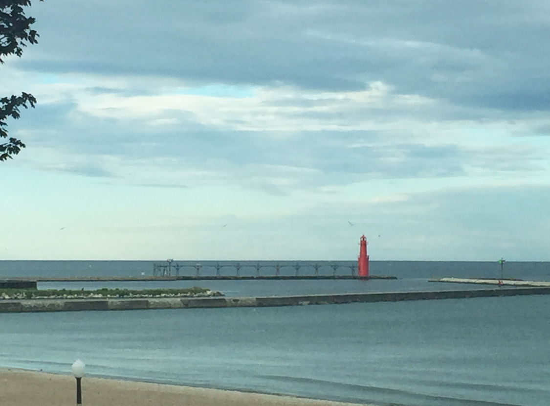
| As CTH-S north follows Lake Street from Wis 42 into Downtown, the Algoma Lighthouse comes into view as it jetties out into Lake Michigan. The current pierhead lighthouse has been around in operation since 1932. 07/08/16 |
|
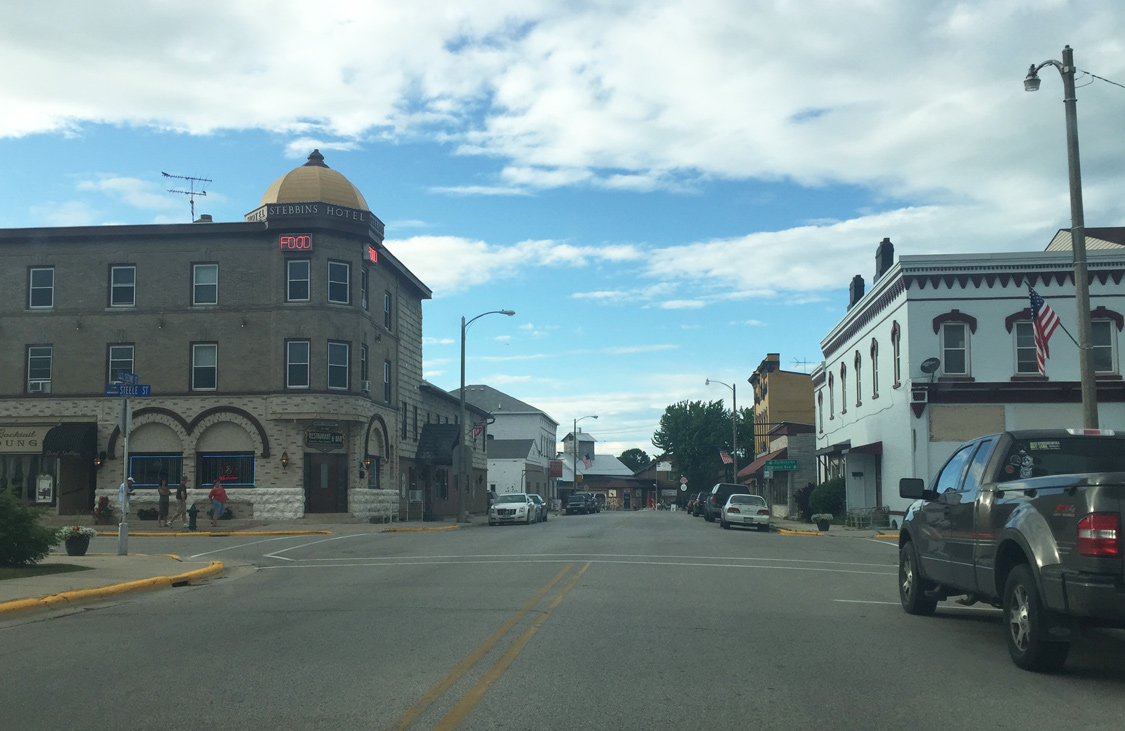
| The Hotel Stebbins (formerly Ahnapee House) sits at the northwest corner of Second Street and Steele Street. Originally dating back to the mid 1800s, the hotel is one of the central landmark pieces within Algoma. 07/08/16 |
|
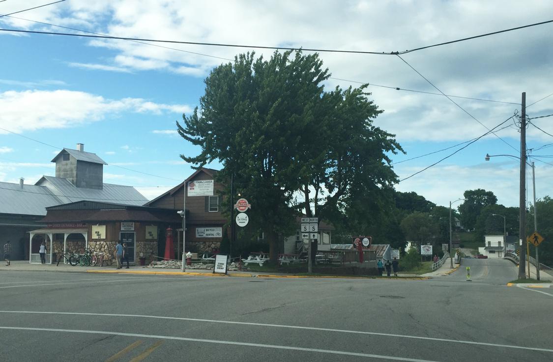
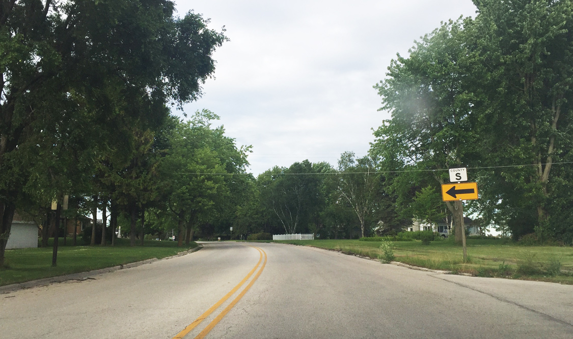
| County S north (Second Street) meets its west branch at Navarino Street. CTH-S west follows Navarino Street four blocks before turning north along Sixth Street. The western component of CTH-S stretches across northern Kewaunee County before ending in Dyckesville ahead of the shores of Green Bay. CTH-S north continues across the Ahnapee River along Second Street before connecting with Water Street and Lakeshore Drive toward Sturgeon Bay. 07/08/16 |
|
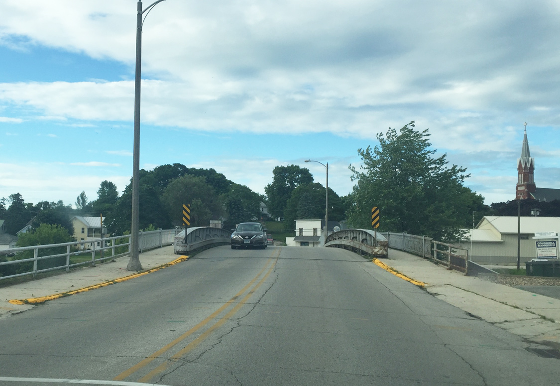
| County S (2nd Street) spans the Anhapee River via a low level bridge. The river flows from the central Door peninsula into Lake Michigan. 07/08/16 |
|
| 2nd Street comes to an end as CTH-S merges onto Water Street east toward Door County and Sturgeon Bay. 07/08/16 |
|
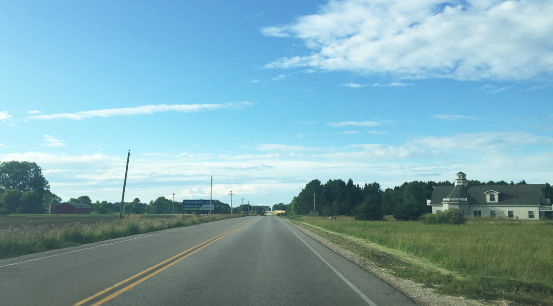
| Lakeview Drive continues Kewaunee County S northeast from this point as the county trunk highway continues through a residential neighborhood. 07/08/16 |
|
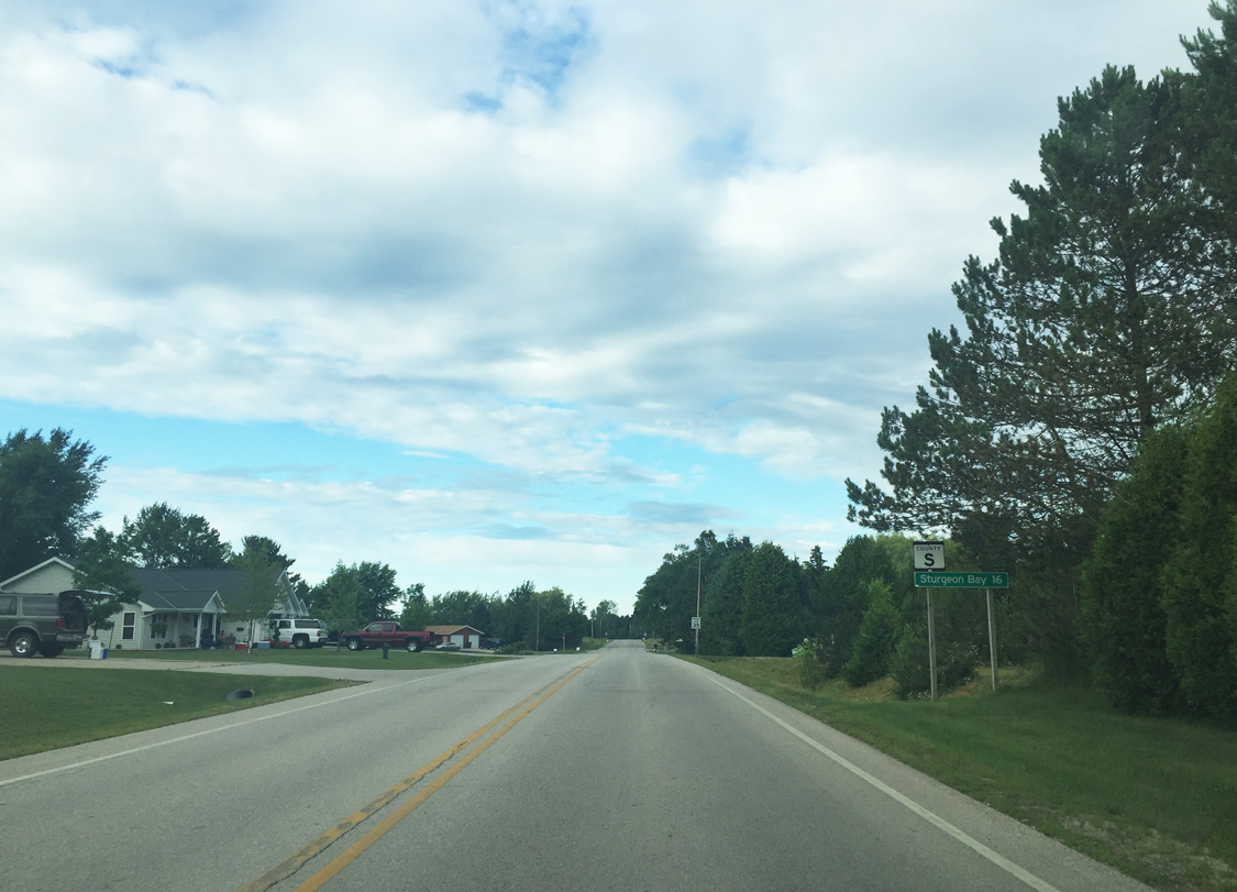
| 16 miles out from Sturgeon Bay, County S maintains a 35 mph speed limit through northern Algoma. 07/08/16 |
|
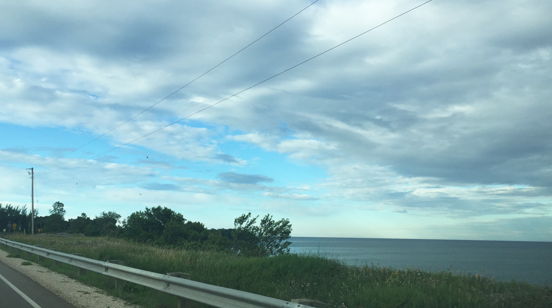
| CTH-S reaches 55 mph once outside Algoma limits. The county trunk highway follows close to Lake Michigan along this stretch to Washington Road. 07/08/16 |
|
| County S curves north ahead of Washington Road as it continues through rural farmland. 07/08/16 |
|
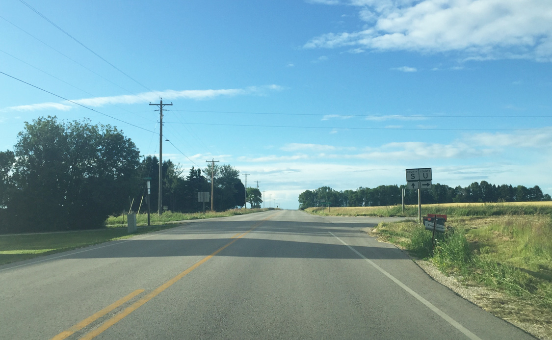
| Crossing Silver Creek, CTH-S next approaches CTH-U. The county trunk highway stems northeasterly along Lake Michigan toward Sturgeon Bay. 07/08/16 |
|
| County U splits to the east while Monroe Lane continues a short distance west. County U offers a more scenic route to Sturgeon Bay as it follows close to Lake Michigan while County S provides a more direct route to the Green Bay city. 07/08/16 |
|
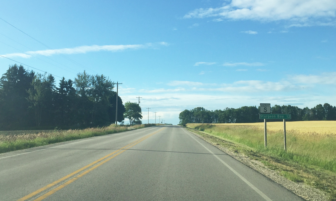
| County S concludes 11.5 miles north at Wis 42/57 and Sturgeon Bay. 07/08/16 |
|
| CTH-S travels through a forested ravine beyond the intersection with Kennedy Road. 07/08/16 |
|
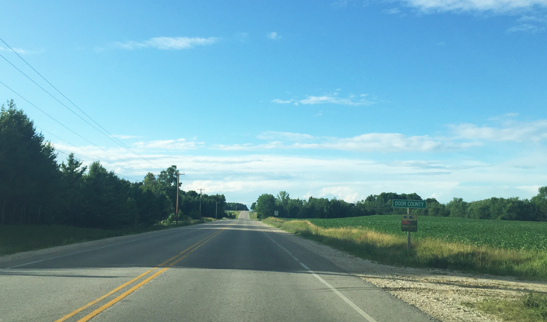
| County S formally enters Door County on the approach to Stony Creek. 07/08/16 |
|
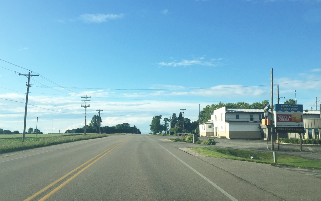
| Renards Cheese resides just within Door County as CTH-S nears Rosewood Road. One of two locations near Sturgeon Bay, the 1961-established business features an on-site cheese making factory and deli. Renards is one of a few remaining family-owned cheese factories that was once a common occurrence along Wisconsin highways. 07/08/16 |
|
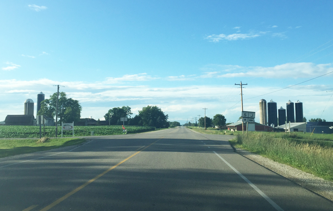
| Door County J travels west from County S through rural Door County to the village of Forestville and east to County U near Robert LaSalle County Park. 07/08/16 |
|
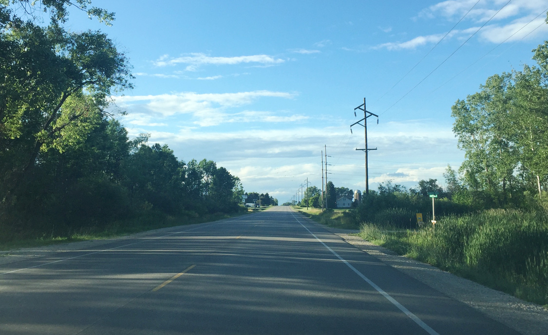
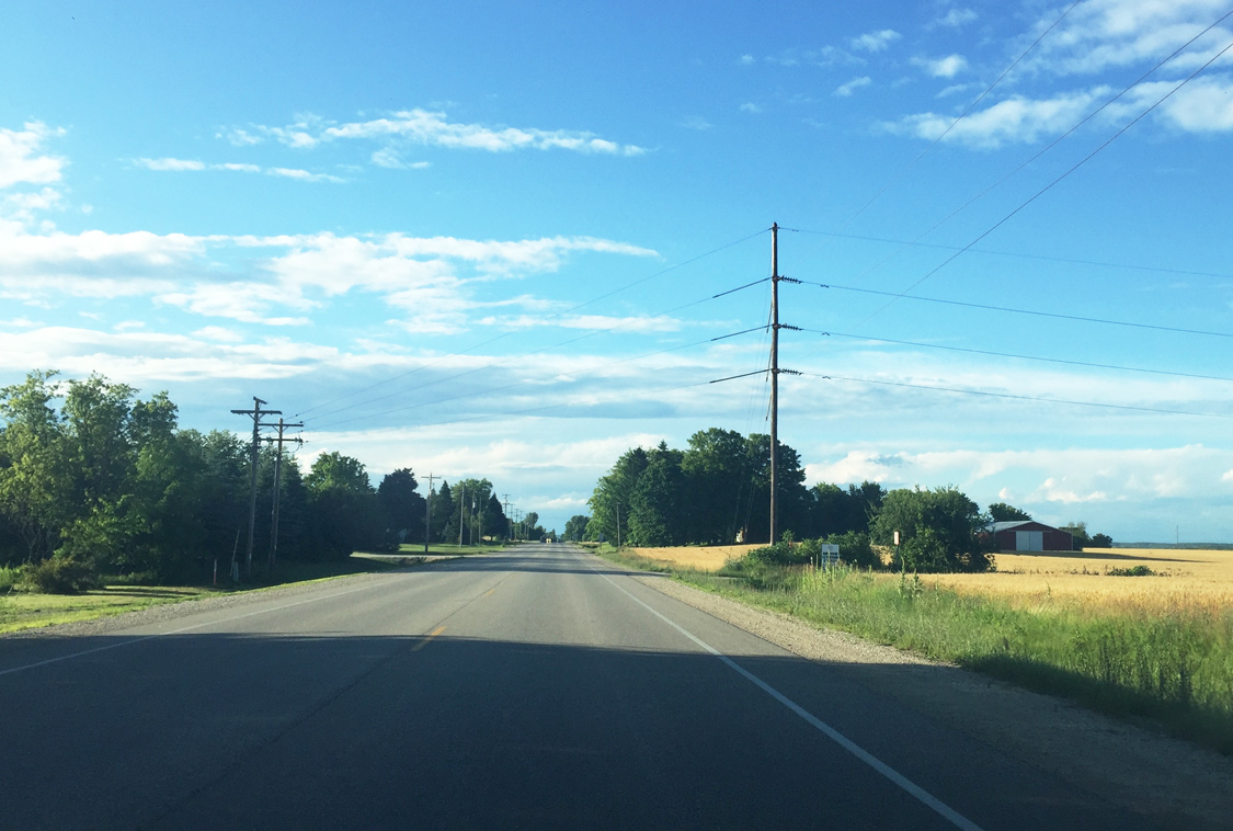
| A set of transmission lines parallel CTH-S beyond Carnot Road to a point just south of Sturgeon Bay city limits. CTH-OO (Vignes Road) east leaves CTH-S ahead for the community of Vignes. 07/08/16 |
|
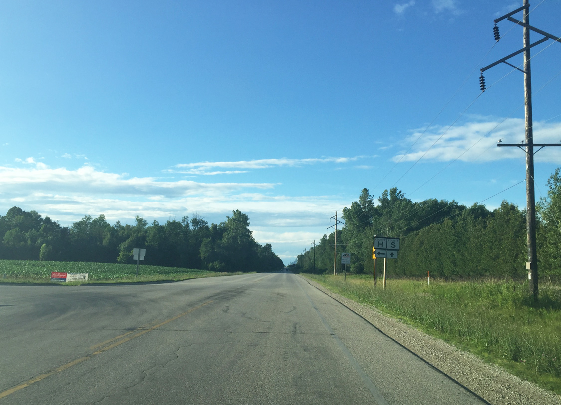
| County H stems west to the community of Maplewood at the crossroads of STH-42. 07/08/16 |
|
| CTH-S crosses the Anhapee State Trail south of Berg Road. Part of a rails to trails conversion, the Ahnapee State Trail stretches nearly 50 miles between Algoma and Sturgeon Bay, as well as connecting to Kewaunee and Casco. 07/08/16 |
|
| The transmission line departs east adjacent to an unnamed trail as County S nears Sturgeon Bay city limits. 07/08/16 |
|
| County S enters the city of Sturgeon Bay as it passes to the east of the Door County Justice Center. The city rests on the natural end of Sturgeon Bay which empties into Green Bay. 07/08/16 |
|
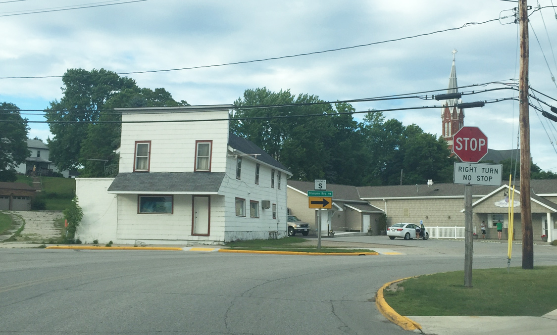
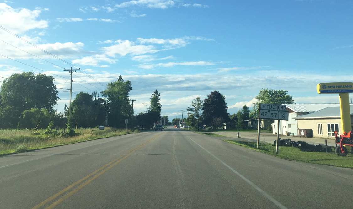
| Still on the outskirts of Sturgeon Bay, CTH-S (Duluth Avenue) prepares to meet its end at Wis 42/57. The state trunk highways enter the city from the west and bypass the central business district to the south and east. 07/08/16 |
|
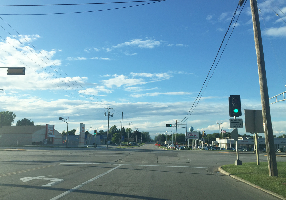
| Wis 42/57 travel along Green Bay Road as the two state trunk highways arc around the eastern part of Sturgeon Bay. Their business counterparts leave for the city center at a wye interchange (Michigan Street) immediately east of County S. While CTH-S ends, CTH-C continues along Duluth Avenue from this point northward through the west side of the city. 07/08/16 |
|
| County S (Lake Street) spokes northerly from Wis 42 as Fourth Street continues the state trunk highway through the heart of Algoma. Like Wis 42, the county trunk highway connects Algoma with Sturgeon Bay. 07/08/16 |
Page Updated 09-18-2016.