
| Highway | County Mileage |
|---|---|
| Interstate 65 | 27.916 |
| U.S. 29 | 40.734 |
| U.S. 31 | 47.430 |
| Alabama 21 | 18.707 |
| Alabama 41 | 23.087 |
| Alabama 113 | 15.457 |

Guides:
Interstate 65
Interstate 65 angles northeast from Perdido in Baldwin County to Evergreen in Conecuh County through vastly rural northwest Escambia County. Construction of the freeway commenced on the section between Alabama 21 at Martinville to Alabama 106 near Georgiana by 1961 with completion of that stretch by 1962. Extension of the route southwest to Baldwin County 47 (current Alabama 287) followed by 1964.

Guides:
U.S. 29
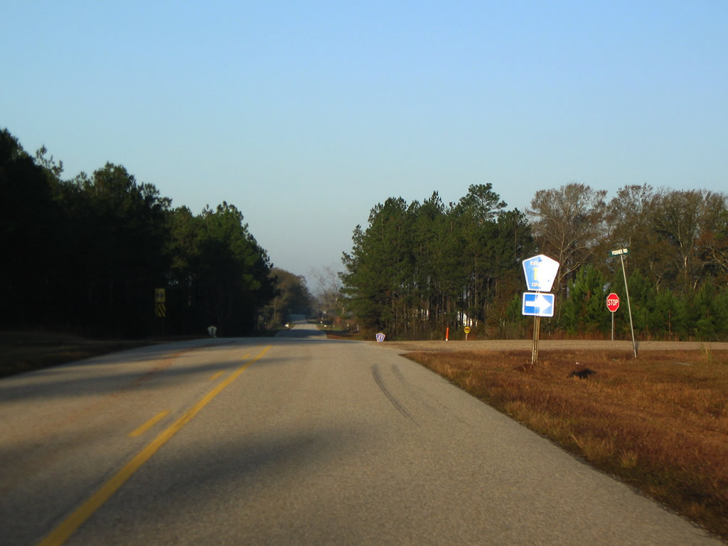
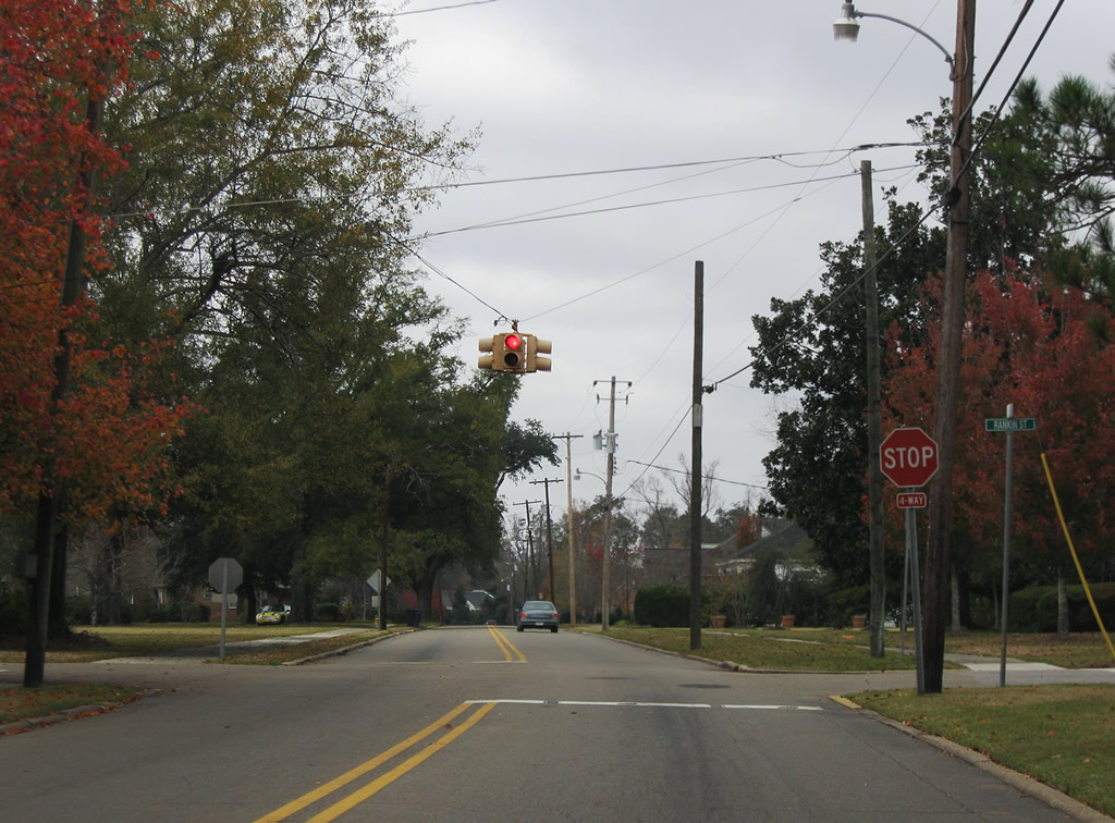
U.S. 29 joins the Pensacola area with Flomaton and Brewton in Escambia County, acting as an important route to Interstate 65 from the Florida panhandle in conjunction with Alabama 113. The highway shares pavement with U.S. 31 from Flomaton east to the County seat and travels a vastly rural path from East Brewton into Conecuh National Forest. Much of the route follows the original alignment with the exception of now four-lane highway between Alabama 113 and Brewton. That alignment opened by 1969 north of Pollard, with expansion to four lanes by 1995 northeast of Pollard and west of Pollard by 2008.
U.S. 29 overtook then-Alabama 12 (renumbered to Alabama 15 by 1957) from Andalusia to Brewton and historic U.S. 331 south from Flomaton to Pensacola by 1934.

Guides:
U.S. 31
Vastly replaced in a role as regional through route from Bay Minette to Montgomery, U.S. 31 still provides a through route for county interests in Escambia County, Alabama as well as one of a handful of routes southward to the Florida panhandle (in conjunction with Alabama 41 south from Brewton). Sharing 14.4 miles with U.S. 29 along a four or five-lane alignment, U.S. 31 bypasses the town of Pollard and McCall, both communities formerly along the U.S. highway mainline. A two-lane alignment leads north from downtown Brewton to Camp McMillan and U.S. 84 at Evergreen. The South Alabama Regional Planning Commission lists a Brewton bypass in their long range plans.

Guides:
Alabama 21
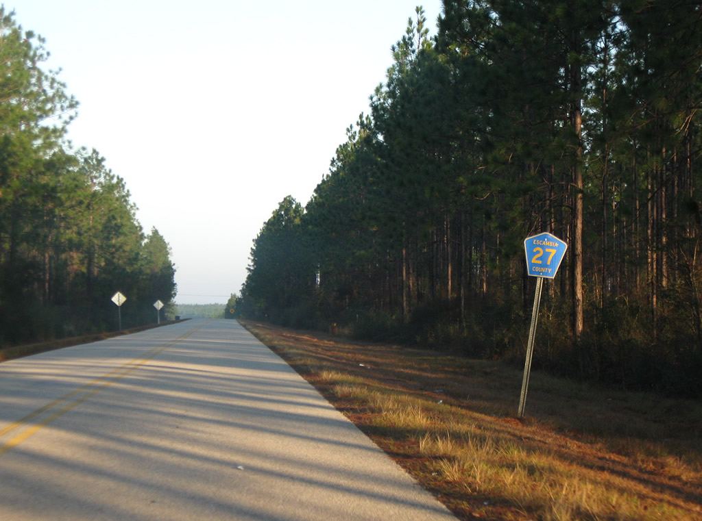
Alabama 21 continues Florida 97 north through Atmore to Exit 57 of Interstate 65 near the Wind Creek Casino complex. Continuing north, the state route exits Escambia County at Little River State Forest to Uriah. Historically the highway replaced Alabama 11 from the Florida state line to Monroeville until 1958. The highway doubled as Alabama 209 in 1957.

Guides:
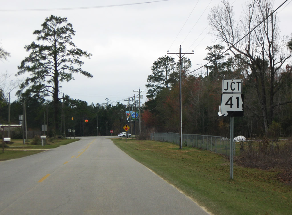
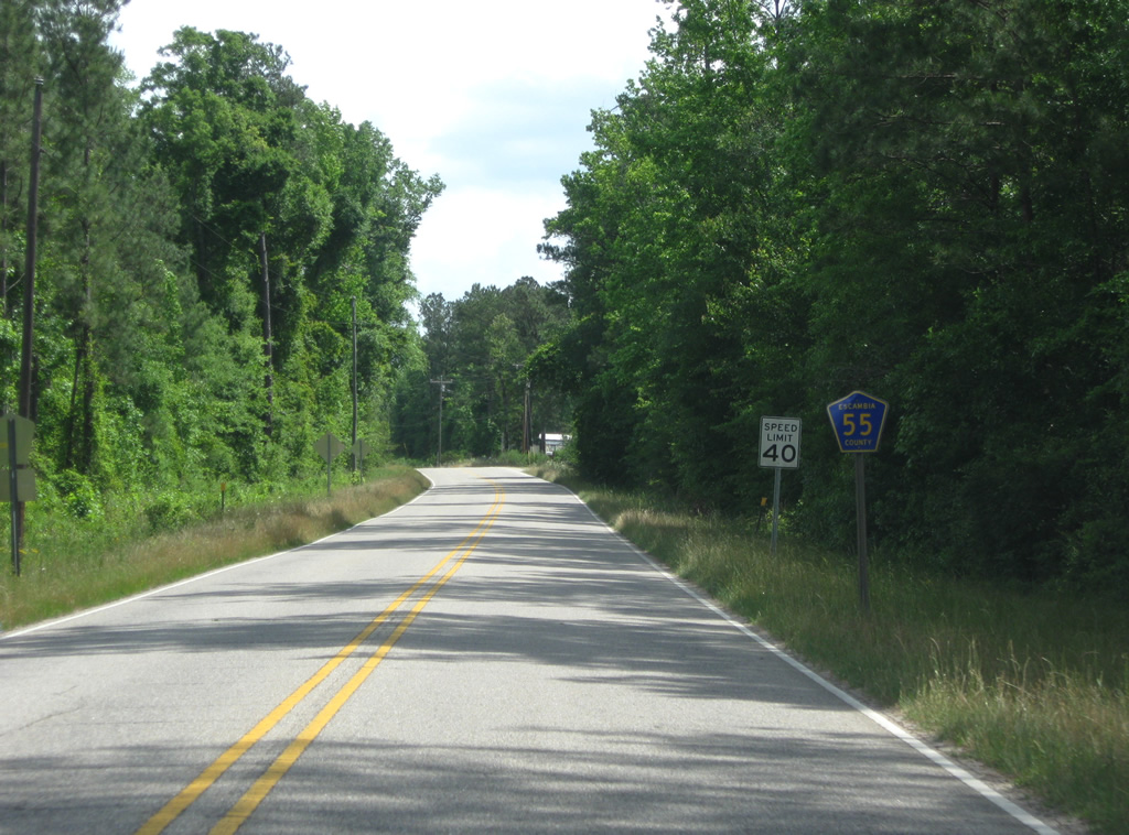
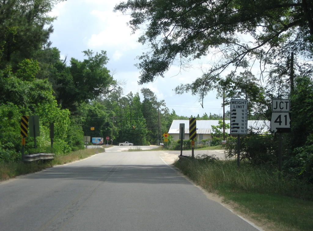
Alabama 41
Florida 87 becomes Alabama 41 at Dixonville and the state line. The route joins Brewton with Milton and the Florida Coast to the south and Interstate 65 (Exit 77) and Repton in Conecuh County to the north. The state route replaced Alabama 93 between the state line and U.S. 84 by 1958.

Guides:
Alabama 113
Alabama 113 came into existence by 1948 along the U.S. 29 alignment between U.S. 31 in Flomaton and Century, Florida. An extension of that short route followed by 1979, leading the freeway north to the Barnett Crossroads interchange of Interstate 65. The state route follows a combination of U.S. 29 along Flomaton Boulevard and U.S. 29 & 31 from their merge point to Exit 69.
County Roads

Escambia County 4
| Escambia County 4 east |
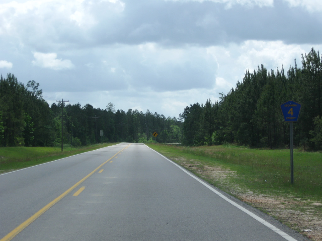 | Escambia County 4 continues County Road 22 east of U.S. 29 along Ridge Road. Ridge Road is a 2004 realignment of CR-4 leading south from U.S. 29 to Bradley Road, the original path of County Road 4. 05/03/09 |
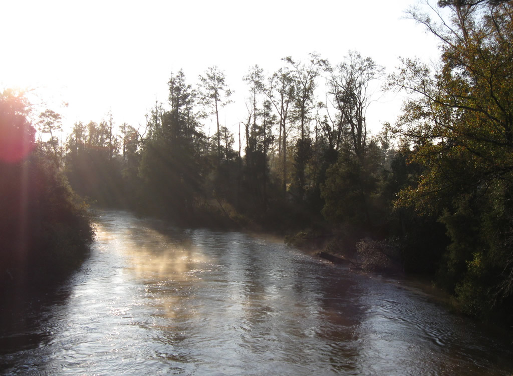
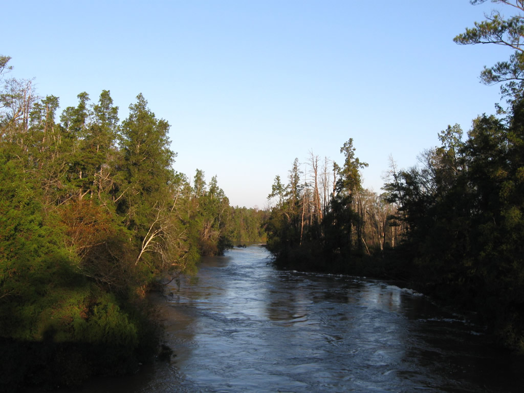
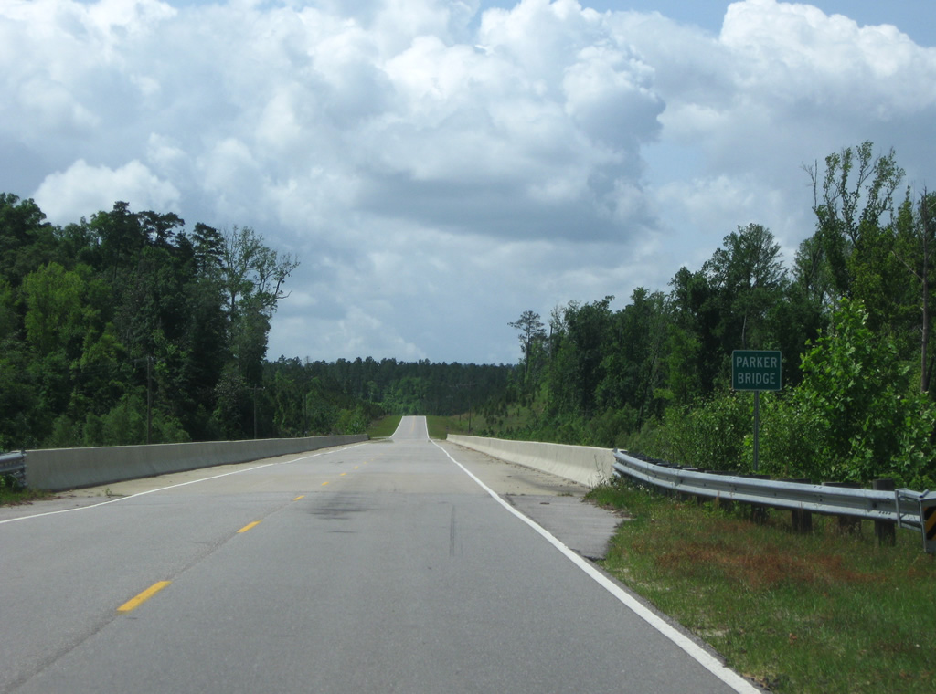 | County Road 4 was realigned in part due to the Conecuh River. Bradley Road hugged the western banks of the waterway, north of the Conecuh River bridge. The new alignment spans the river via the Parker Bridge to the east and exits the flood plain much sooner than Bradley Road. 05/03/09 |
 | Turning east onto Bradley Road, County Road 4 next intersects the north end of Escambia County 19 (Bethel Road). CR-19 leads south to CR-50 and McLellan, Florida via Santa Rosa County 191. 05/03/09 |

Escambia County 19
| Escambia County 19 south |
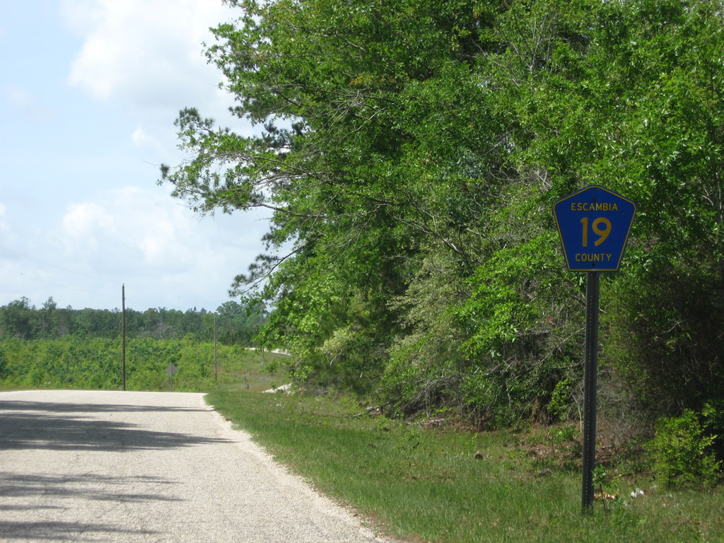 | Escambia County 19 begins and leaves the intersection with County Road 4. 05/03/09 |
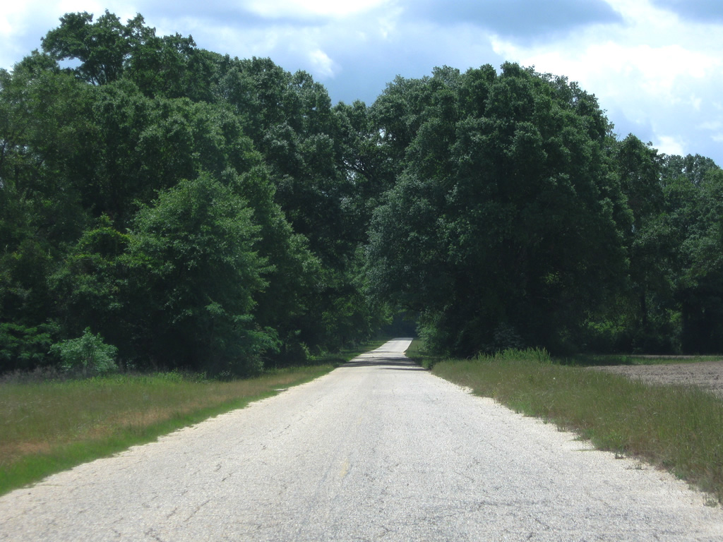 | Bethel Road carries County Road 19 southward through a mixture of farm land and pine forest. This scene looks at the county highway ahead of Yellow Creek Road. 05/03/09 |
 | Southbound County Road 19 (Bethel Road) at the westbound beginning of Escambia County 50. CR-50 curves westward to connect Bethel Road with County Road 55 (Travis Road) ahead of Dixonville and Riverview. 05/03/09 |
| Escambia County 19 north |
 | Junction farm road sign posted ahead of the County Road 19 (Bethel Road) intersection with County Road 4 (Bradley Road). 05/03/09 |

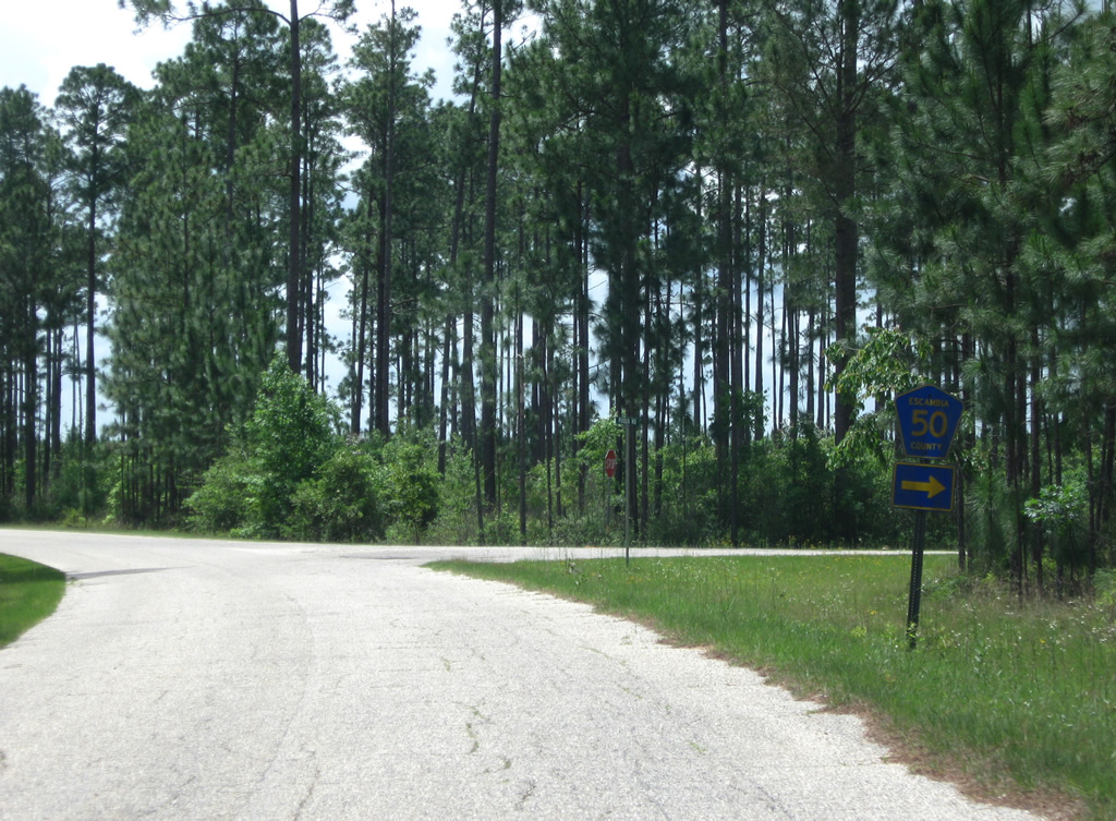
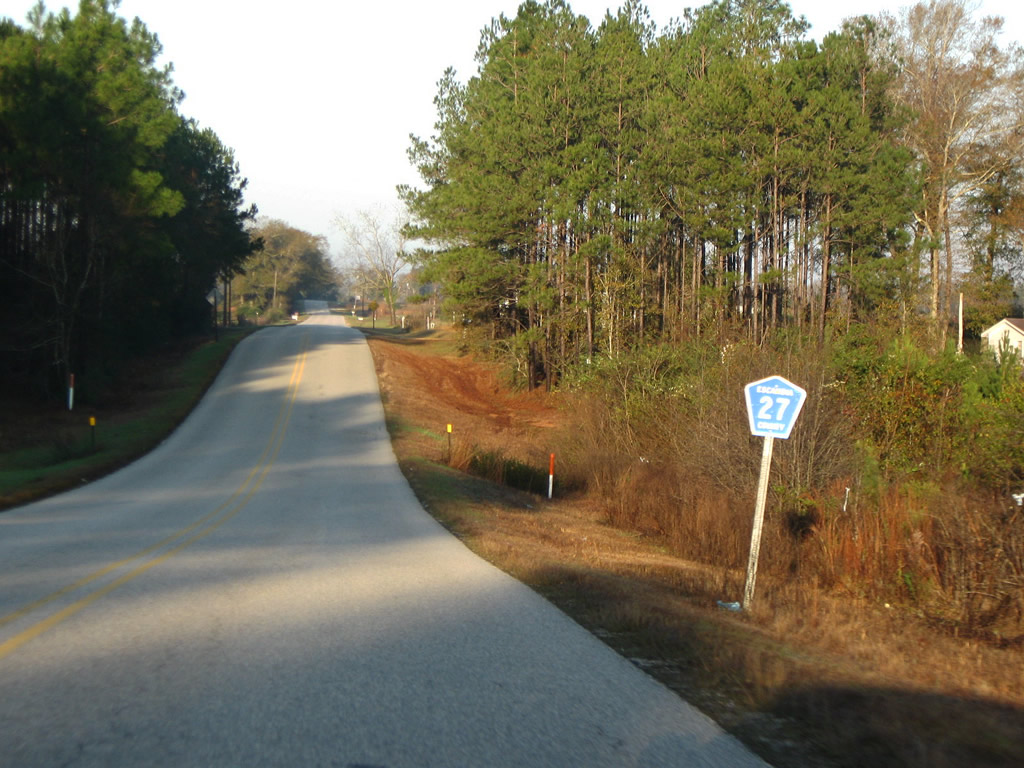
Escambia County 27
| Escambia County 27 north |
 | Northbound on Robinsville Road after the beginning of Escambia County 27 from SR 113. Sections of former Escambia County 27 (Old Sardine Road) loop away from SR 113 to the south as well. 12/19/09 |
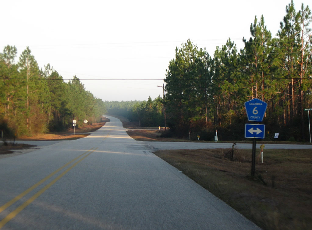 | Escambia County 6 travels west from Escambia County 27 to Escambia County 25 and east to SR 113 and Pollard. 12/19/09 |
 | Rolling northward along Escambia County 27 (Sardine Road) toward Stanley Crossroads. The landscape undulates between cotton fields and forest stands. 12/19/09 |
 | Escambia County 18 (Foshee Road) travels west from U.S. 29 & 31 in west Brewton to Foshee, Pineview and an end at Escambia County 27 (Sardine Road). 12/19/09 |
 | Curving more westerly along Escambia County 27 (Sardine Road) to Stanley Crossroads. 12/19/09 |
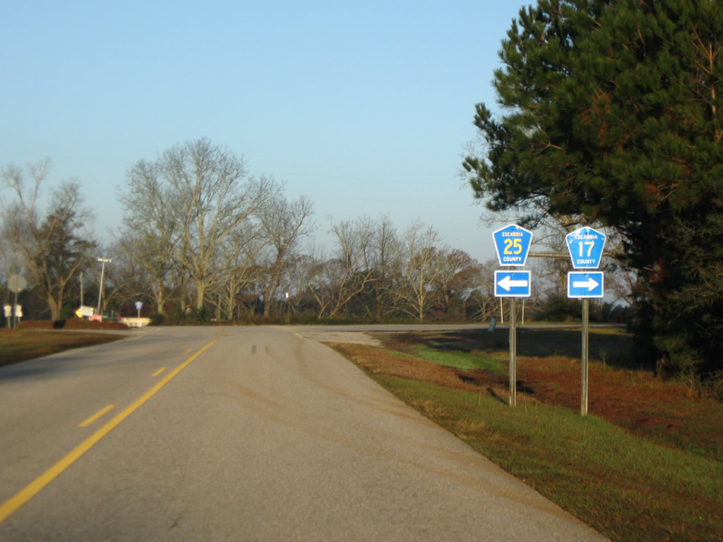 | Escambia County 17 south and 25 north come together at Stanley Crossroads and Escambia County 27 (Sardine Road). County Road 25 meanders southeast to Flomaton while County Road 17 flows northeast along Stanley Road to SR 113 near Interstate 65 and Barnett Crossroads. 12/19/09 |
 | Westbound Escambia County 27 (Robbinsville Road) continues to Sardine and Little Rock from Stanley Crossroads. 12/19/09 |
  | Views of the Big Escambia Creek from the Escambia County 27 bridge west of Sardine. 12/19/09 |
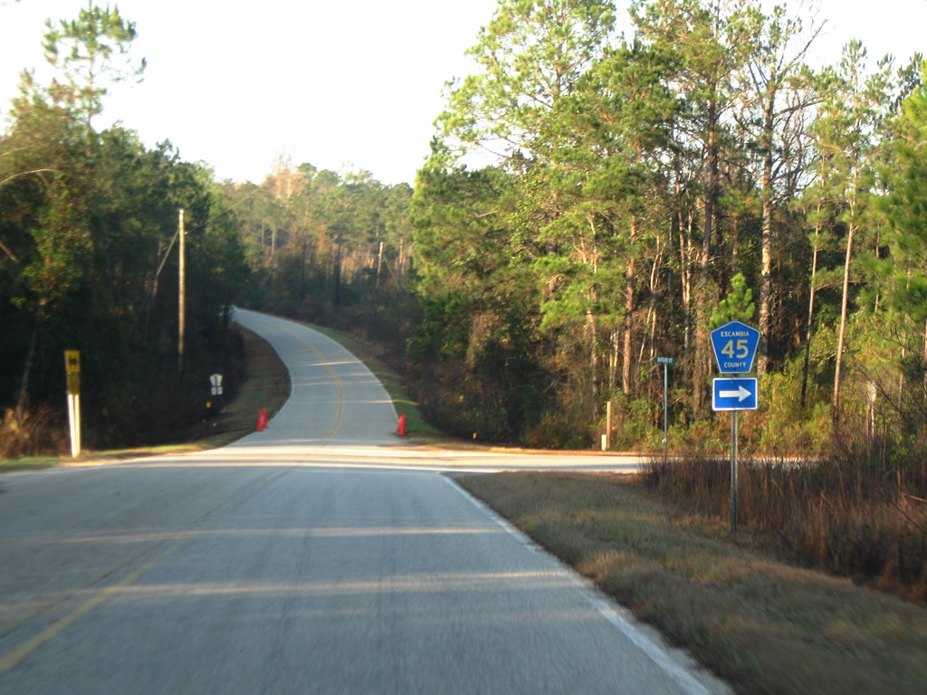 | Escambia County 45 (Butler Street) begins and travels north from Escambia County 27 near Sardine. 12/19/09 |
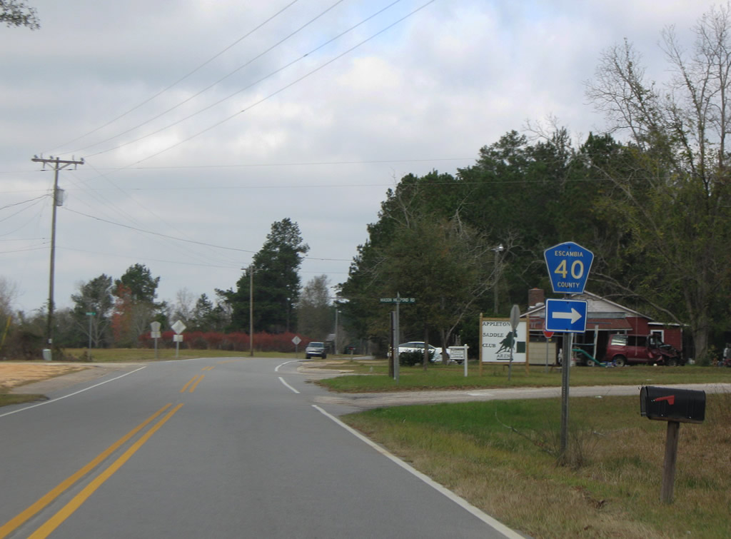
Escambia County 40
| Escambia County 40 west |
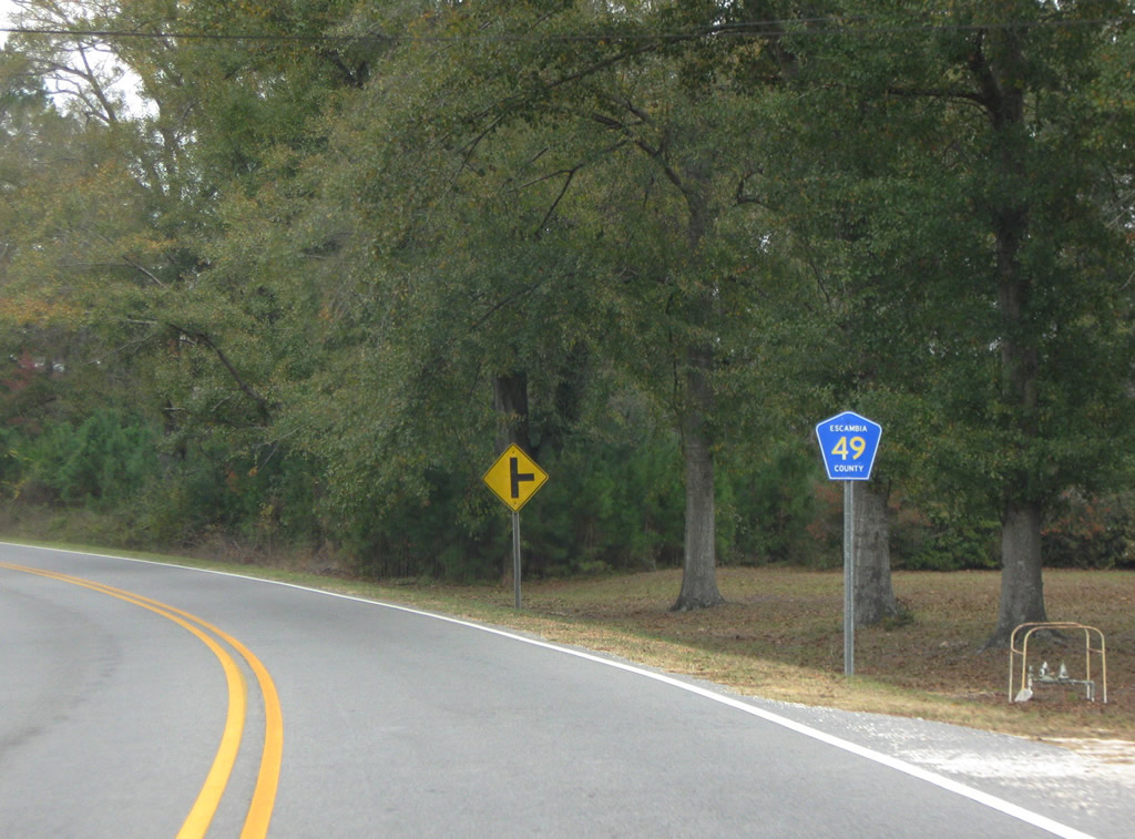
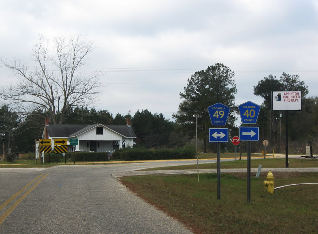 | Escambia County 40 (Mason Mill Pond Road) meets Escambia County 49 (Appleton Road) south of Appleton. An implied overlap leads drivers north along Escambia 49 for the continuation of County Road 40 west onto Lowery Landing Road. Escambia 49 leads north to Conecuh County 6 near Exit 83 of Interstate 65 and south to Brewton. 12/05/09 |
Escambia County 45
| Escambia County 45 north |
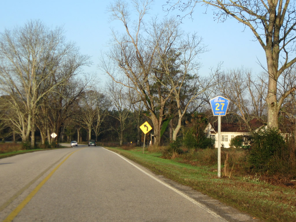
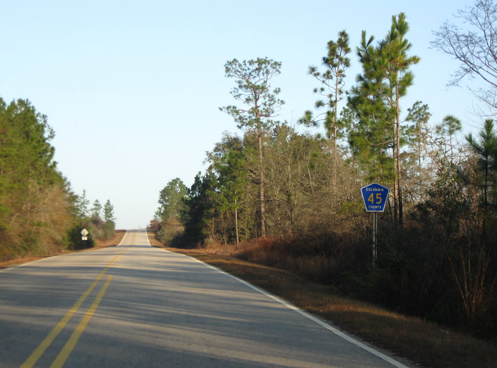 | Looking north at the beginning of Escambia County 45 (Butler Street) as it departs Escambia County 27 near Little Rock and Sardine. 12/19/09 |
 | A second reassurance shield for Escambia County Road 45 appears after the intersection with Peacock Lane. 12/19/09 |
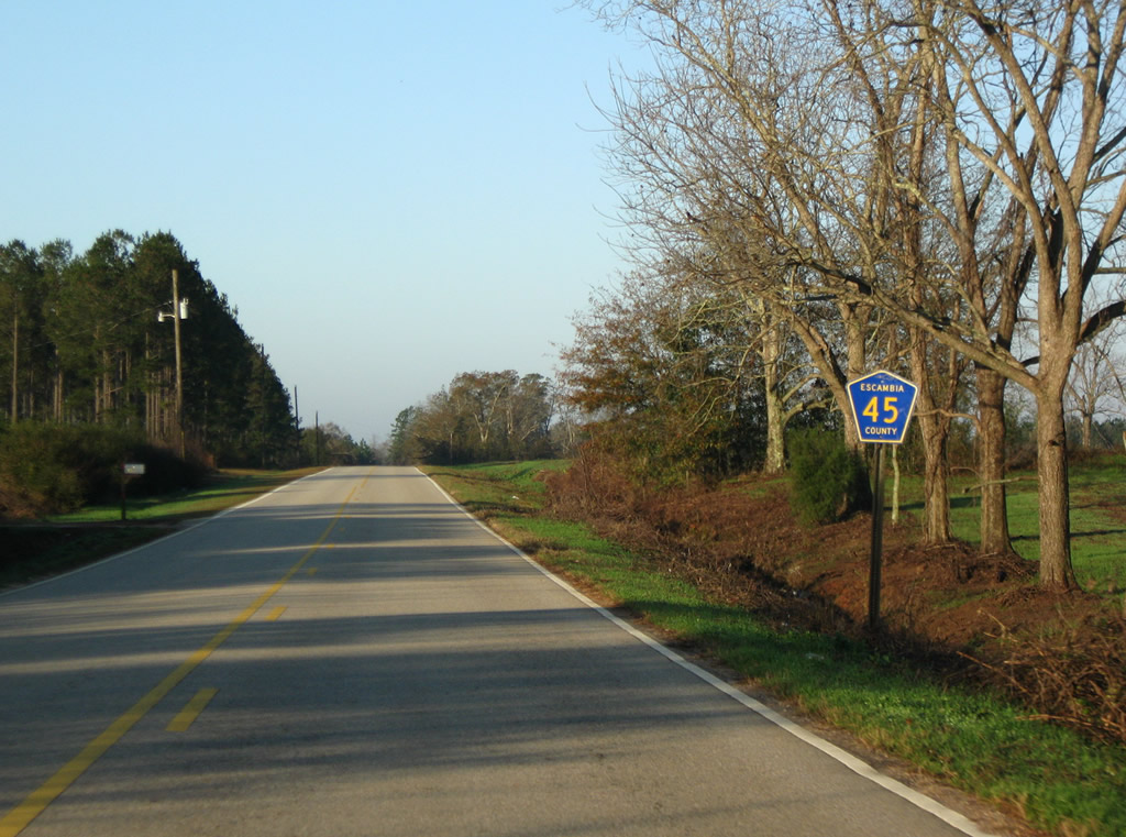
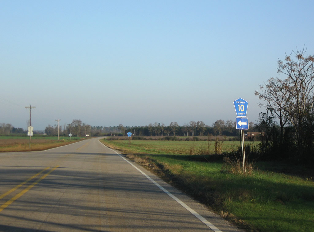 | Escambia County 45 (Butler Street) turns north and passes over Interstate 65 en route to Escambia County 10. County Road 10 leads west to SR 21 12/19/09 |
 | Farmland continues to line both sides of Escambia County 45 north from Escambia County 10. 12/19/09 |
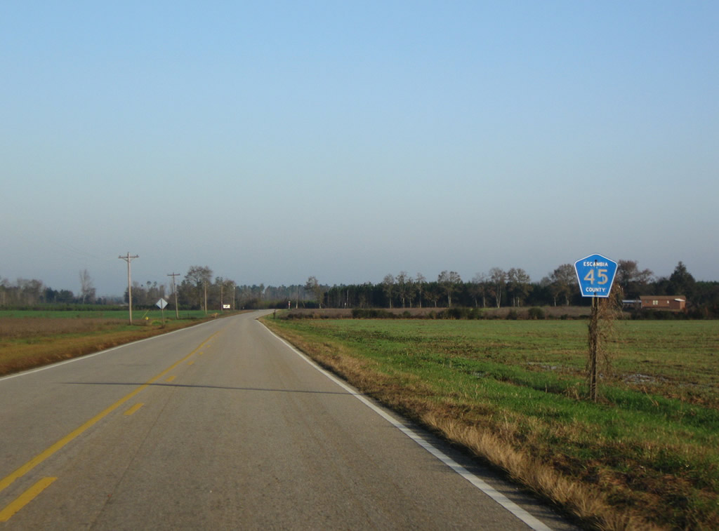
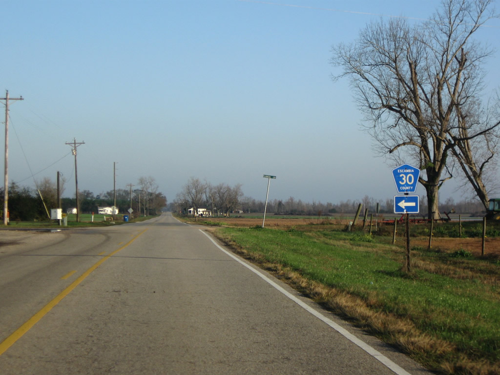 | Three intersections in succession join Escambia County 45 with Escambia County 30. The two branches of Escambia County 30 to the east (CC Trail and Flowers Circle) are unsigned and unpaved. The western branch follows Huxford Road to Huxford and SR 21. 12/19/09 |
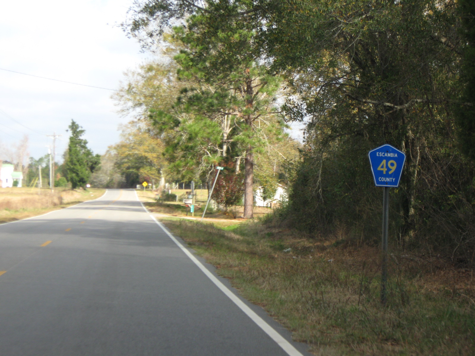
Escambia County 49
| Escambia County 49 north |
 | Bellevue Avenue meets Rankin Street in Brewton at this set of flashers. The north-south street becomes a part of Escambia County 49 north from Smith Lane. 12/05/09 |
 | Heading north along Escambia County 49 (Belleville Avenue) from Tiger Drive toward Loveland Lane outside the Brewton city limits. 12/05/09 |
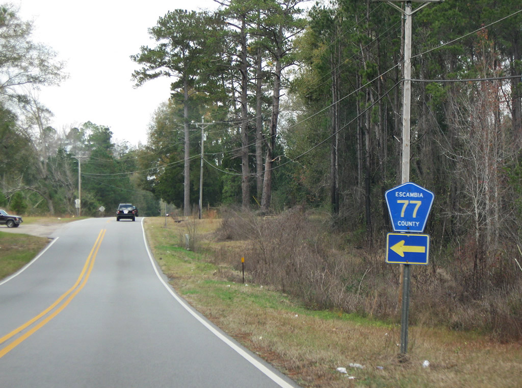  | Escambia County Road 77 connects CR 49 (Appleton Road) with SR 41 west of Brewton. 12/05/09 |
 | Escambia County 40 travels west from U.S. 31 along Mason Mill Pond Road to an implied overlap with Escambia County 49 north. 12/05/09 |
 | A short distance north in Appleton is the westbound departure of Escambia County 40 along Lowery Landing Road. Escambia 40 continues west from SR 41 to Wallace and Barnett Crossroads. 12/05/09 |
 | Leaving Appleton along Escambia County 49 north. 12/05/09 |
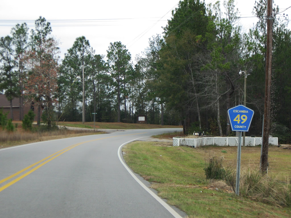
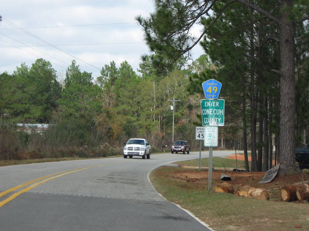 | County Road 49 retains its number upon entering Conecuh County. The county highway ends in 4.3 miles at Conecuh County 6 near Exit 83 of Interstate 65. 12/05/09 |
| Escambia County 49 south |
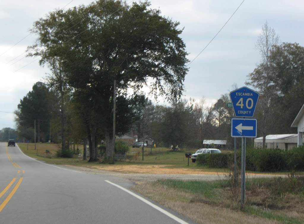 | Escambia County 40 leads east from Escambia County 49 (Appleton Road) along Mason Mill Pond Road to U.S. 31 near Camp McMillan. 12/05/09 |
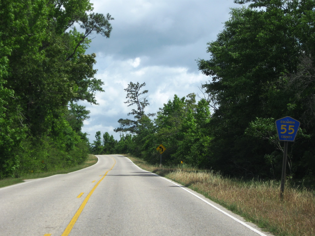
Escambia County 55
| Escambia County 55 north |
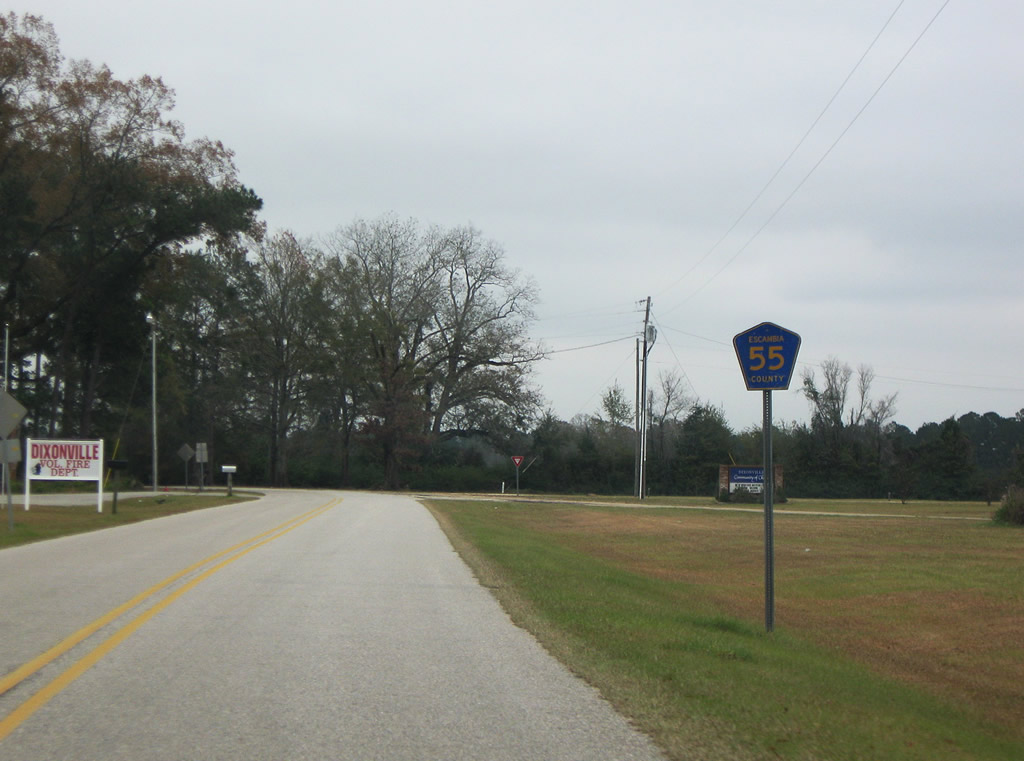 | Escambia County 55 begins at Dixonville and leads east from SR 41 near the Florida state line along Travis Road. Pictured here is the first reassurance shield. 12/05/09 |
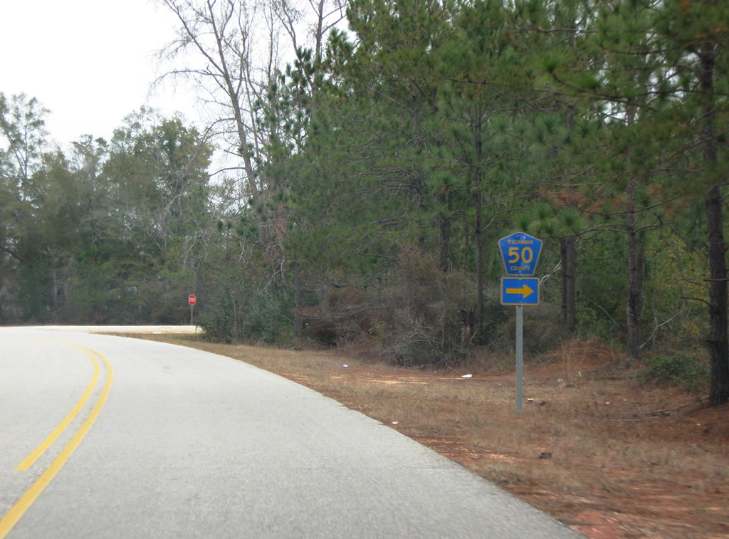 | Turning northward, Escambia County 55 (Travis Road) intersects the west end of Escambia County 50. Escambia County 50 winds eastward to Escambia County 19 through a rural landscape of forest and farmland. 12/05/09 |
 | Continuing north along Escambia County 55 from County Road 50. 12/05/09 |
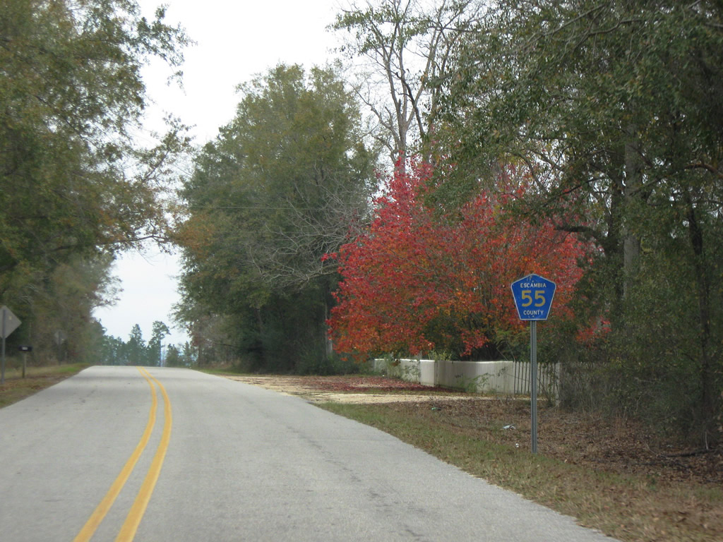
 | Returning westward, Escambia County 55 crosses Dixon Mill Creek, a northward flowing tributary to the Conecuh River. The narrow bridge was built in 1959. 12/05/09 |
 | Entering the town of Riverview, Escambia County 55 crosses paths again with SR 41. 12/05/09 |
 | A set of flashers accompany a stop sign at Escambia County 55 west and SR 41. The county road continues beyond the state route along Jay Road to Mt. Carmel and Jay, Florida (as SR 89). 12/05/09 |
| Escambia County 55 north |
 | Escambia County 55 pentagon, posted just north of Mt. Carmel, Florida along Jay Road. County Road 55 continues State Road 89 northeast from the state line to Riverview. 05/03/09 |
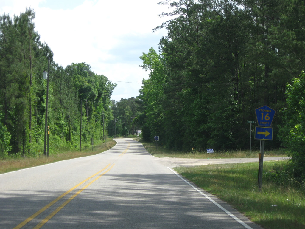 | County Road 16 stems east from Escambia County 55 along Thomas Road. CR-16 comprises an arc eastward to SR 41 near Brewton Municipal Airport. 05/03/09 |
 | Continuing northeast along Jay Road and County Road 55 from CR-16 toward Riverview. 05/03/09 |
 | Drivers along County Road 55 span a tributary of Conecuh River ahead of SR 41 in Riverview. 05/03/09 |
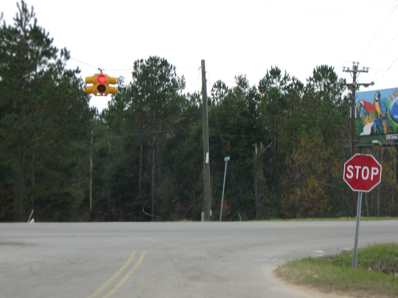
 | SR 41 leads north to East Brewton and Downtown Brewton and south to Dixonville and SR 87. A set of flashers accompany the stop sign at the state route. 05/03/09 |
| Escambia County 55 south |
 | County Road 55 transitions into the southbound beginning of SR 87 at the state line in this scene. 02/07/06 |
Page Updated 11-15-2011.