|
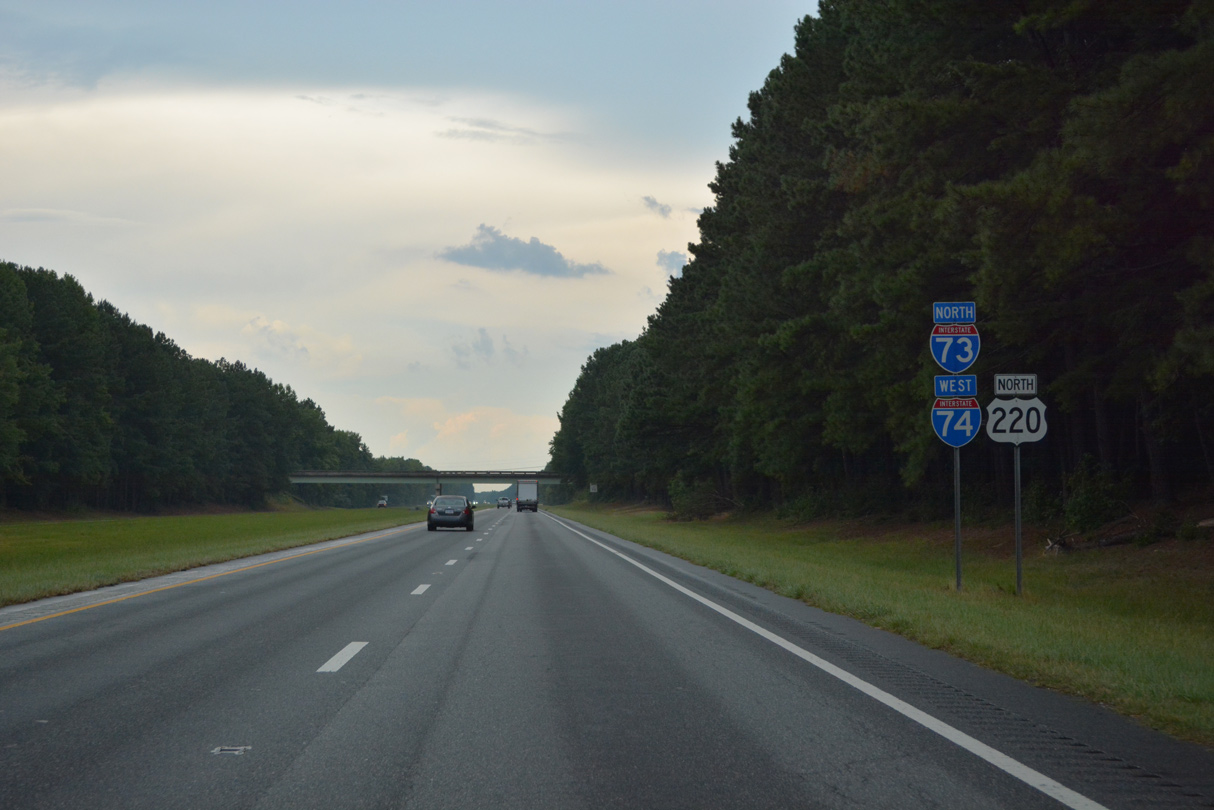
| Continuing north along I-73/74 and U.S. 220 ahead of the Dover Road (SR 1365) overpass and Wolf Creek. 08/14/21 |
|
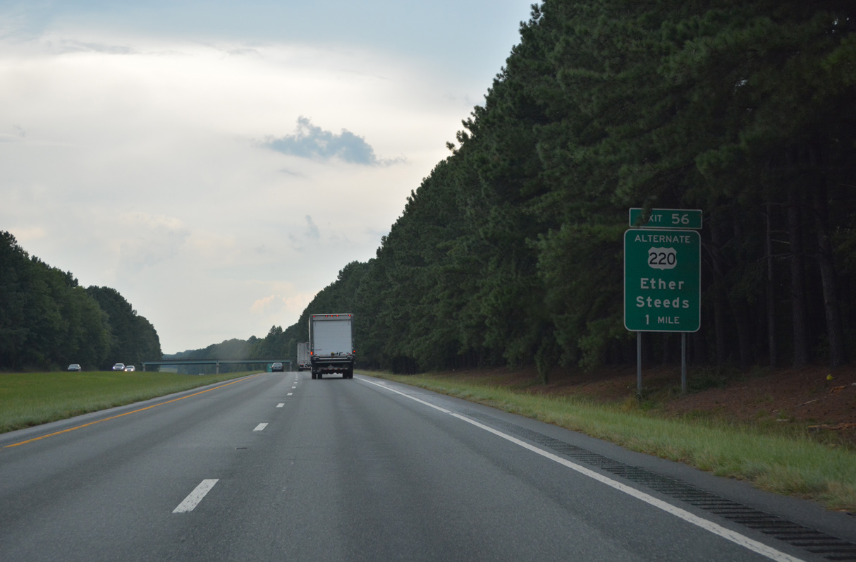
| U.S. 220 Alternate crosses paths with I-73/74 and U.S. 220 again at Exit 56 between Ether and Steeds. 08/14/21 |
|
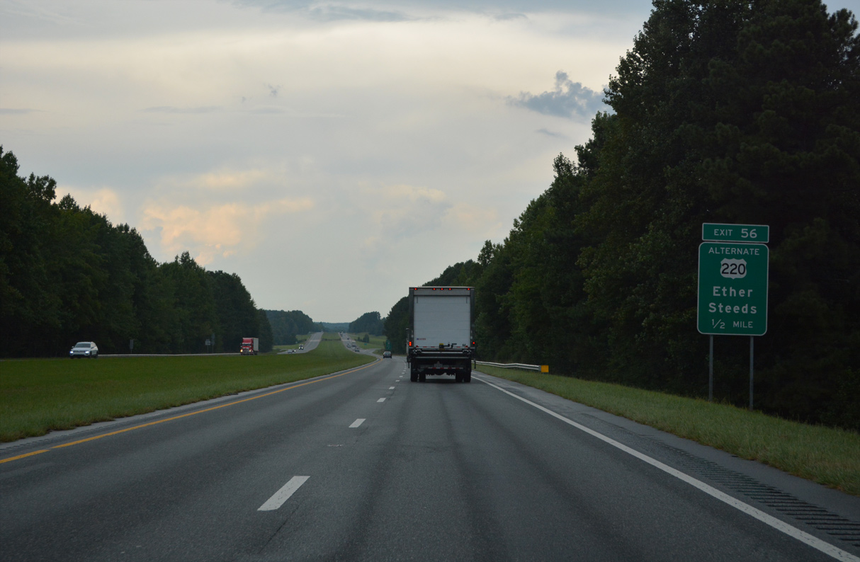
| The diamond interchange (Exit 56) with U.S. 220 Alternate lies just north of the unincorporated communitie of Ether. 08/14/21 |
|
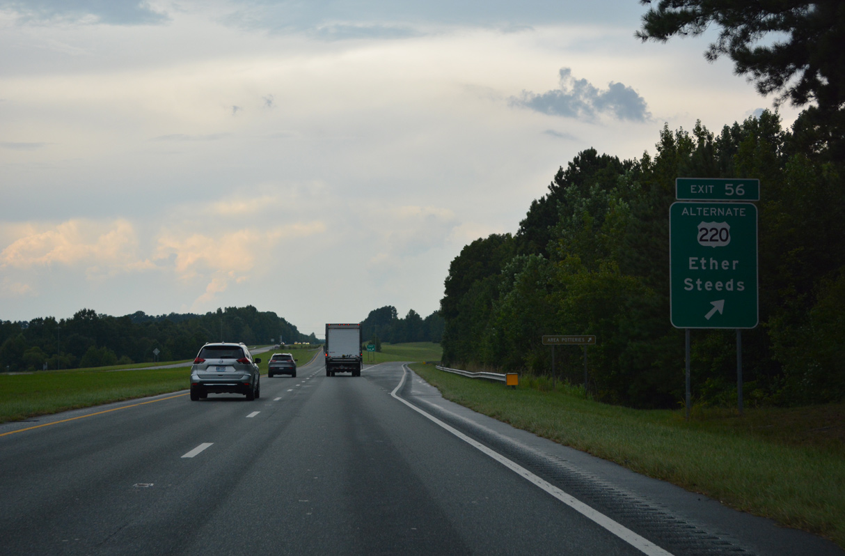
| Staying east of I-73/74, U.S. 220 ALT continues north to the unincorporated community of Steeds and Asbury en route to Seagrove. 08/14/21 |
|
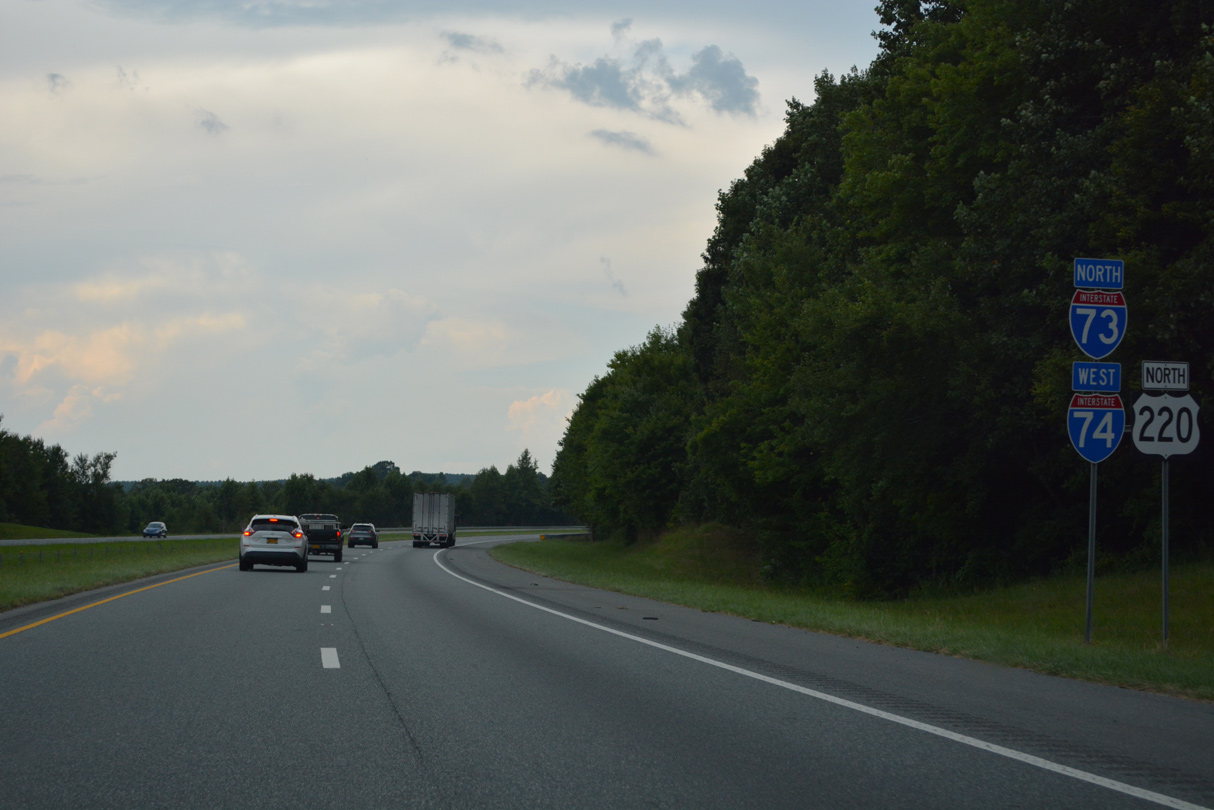
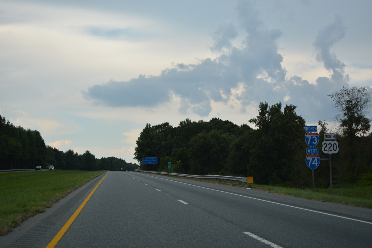
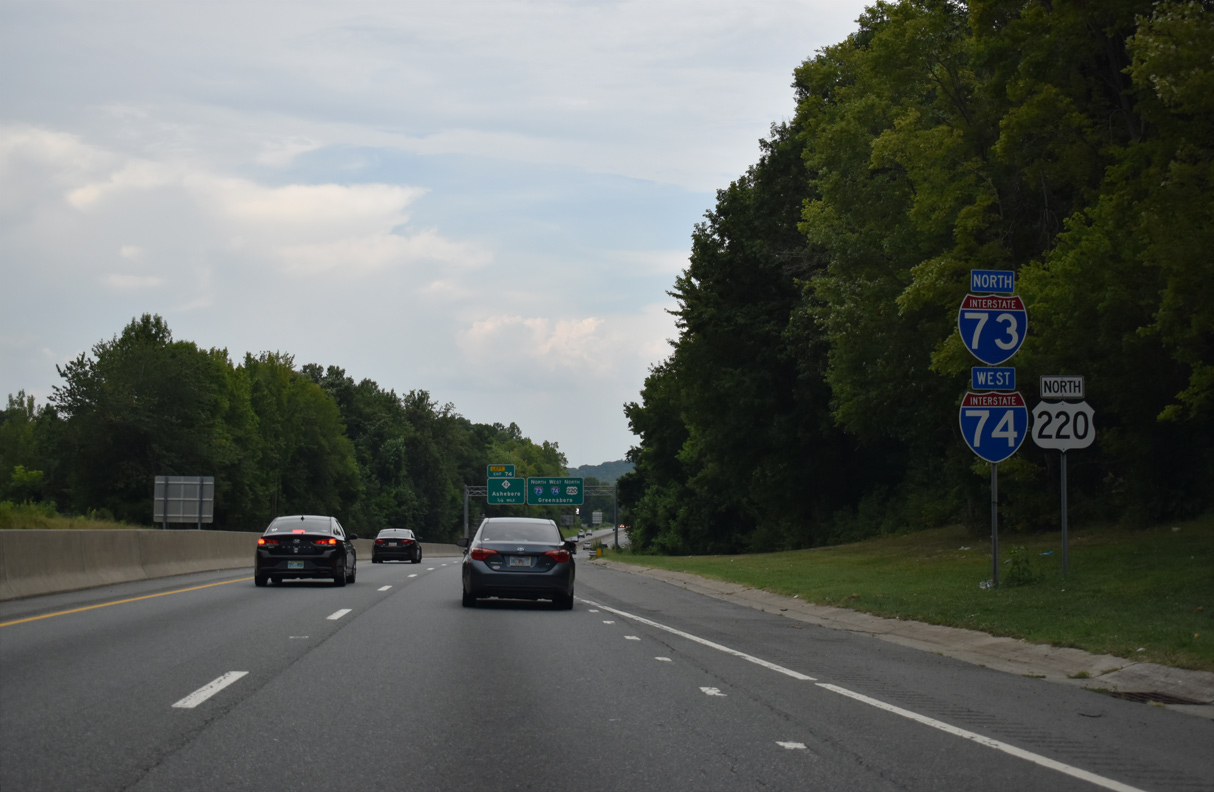
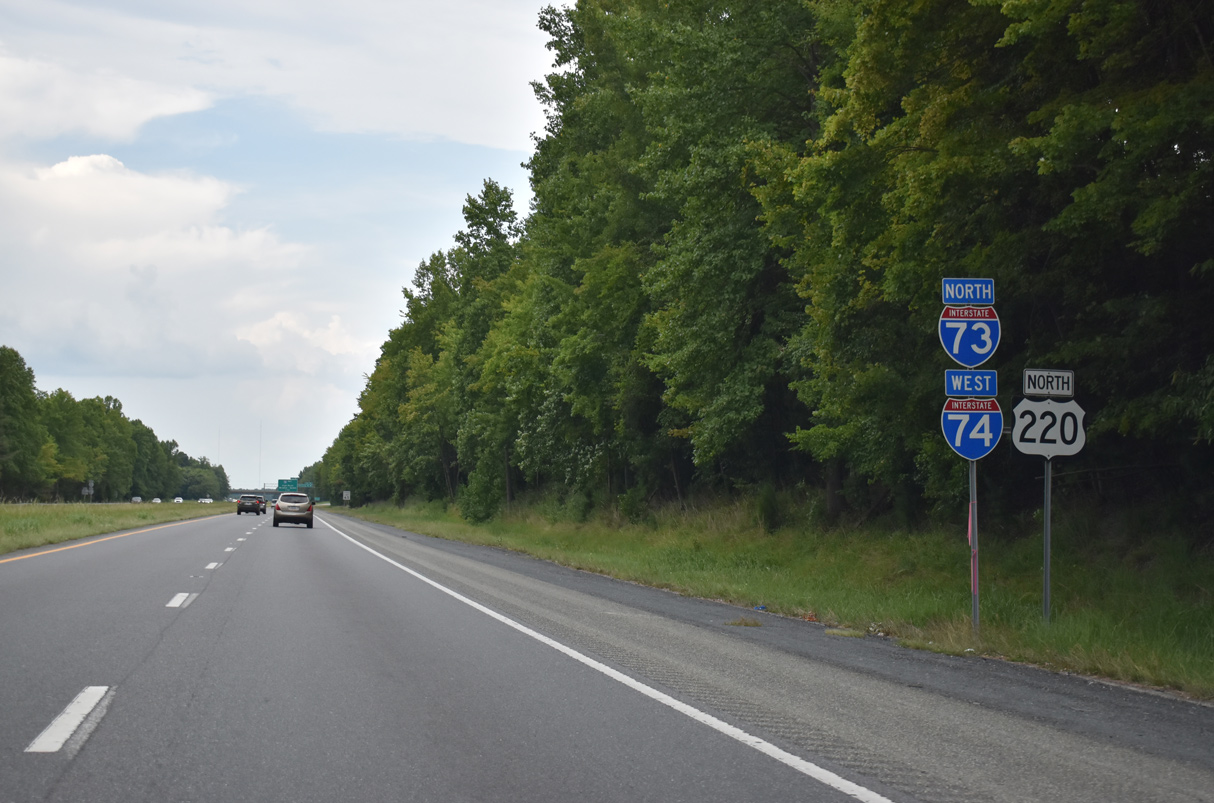
| I-73/74 and U.S. 220 shields posted west of Steeds. 08/14/21 |
|
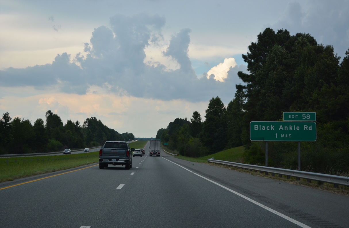
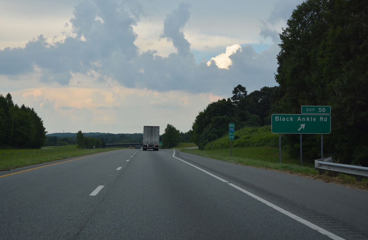
| Black Ankle Road (SR 1354) stems west from adjacent U.S. 220 Alternate into the diamond interchange at Exit 58. 08/14/21 |
|
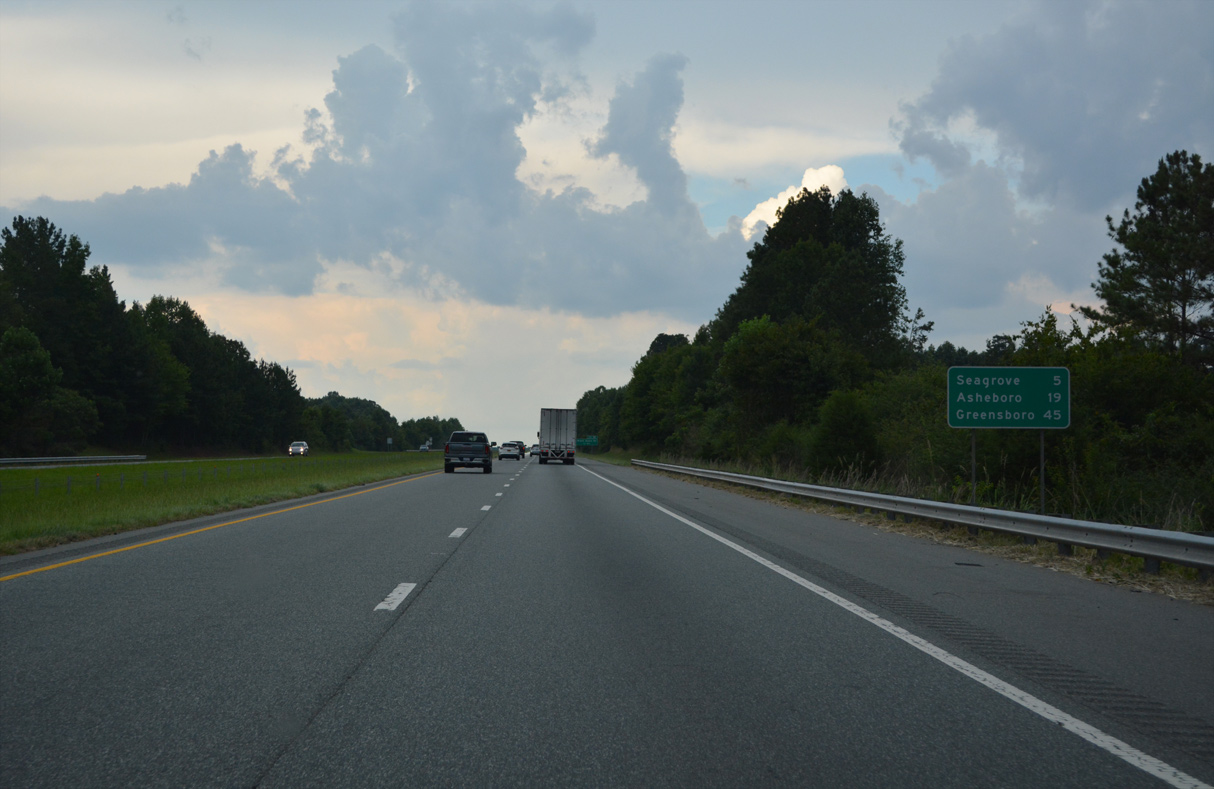
| 45 miles out from Greensboro along I-73/74 north. 08/14/21 |
|
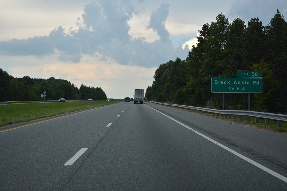
| Black Ankle Road (SR 1354) meanders west through rural forest areas 3.76 miles to the Randolph County line. 08/14/21 |
|
| Northbound at Exit 41 to Black Ankle Road. U.S. 220 Alternate remains close to the east through Asbury. 08/14/21 |
|
| Confirming markers posted northbound west of Asbury and south of King Road (SR 1356). 08/14/21 |
|
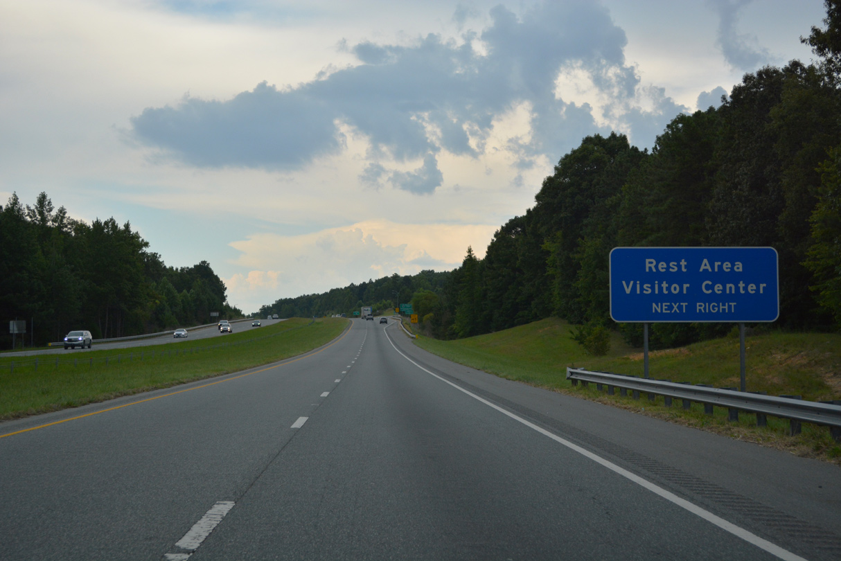
| Construction for the Seagrove Welcome Center along both directions of I-73/74 was completed in mid January 2010. 08/14/21 |
|
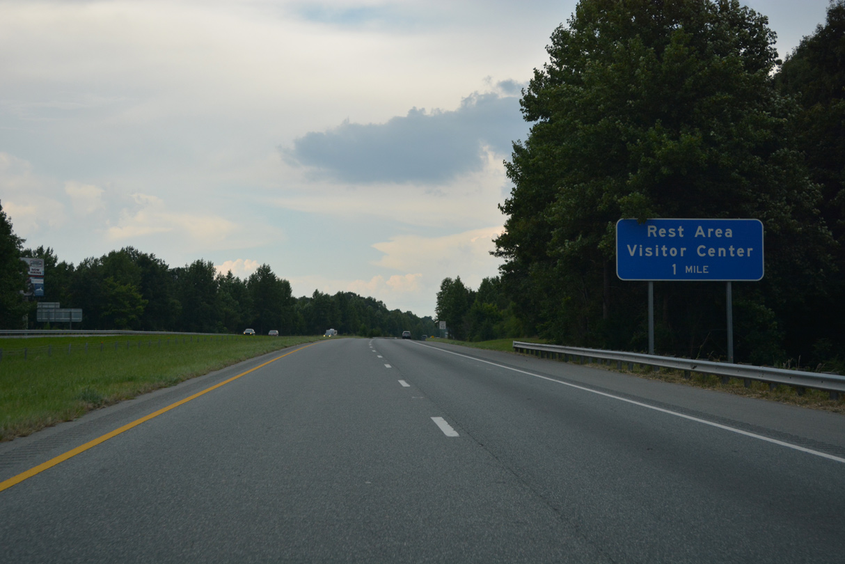
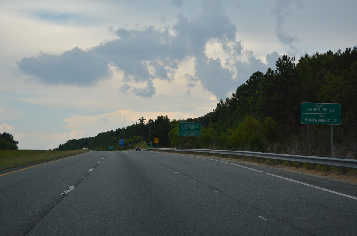
| The Seagrove Welcome Center and rest area lies just north of the Randolph County line. 08/14/21 |
|
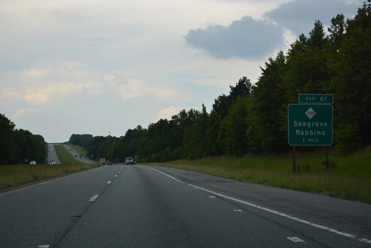
| NC 705 heads 0.81 miles east from I-73/74 at Exit 61 to U.S. 220 ALT (Broad Street) in Seagrove. The area is home to the North Carolina Pottery Center. 08/14/21 |
|
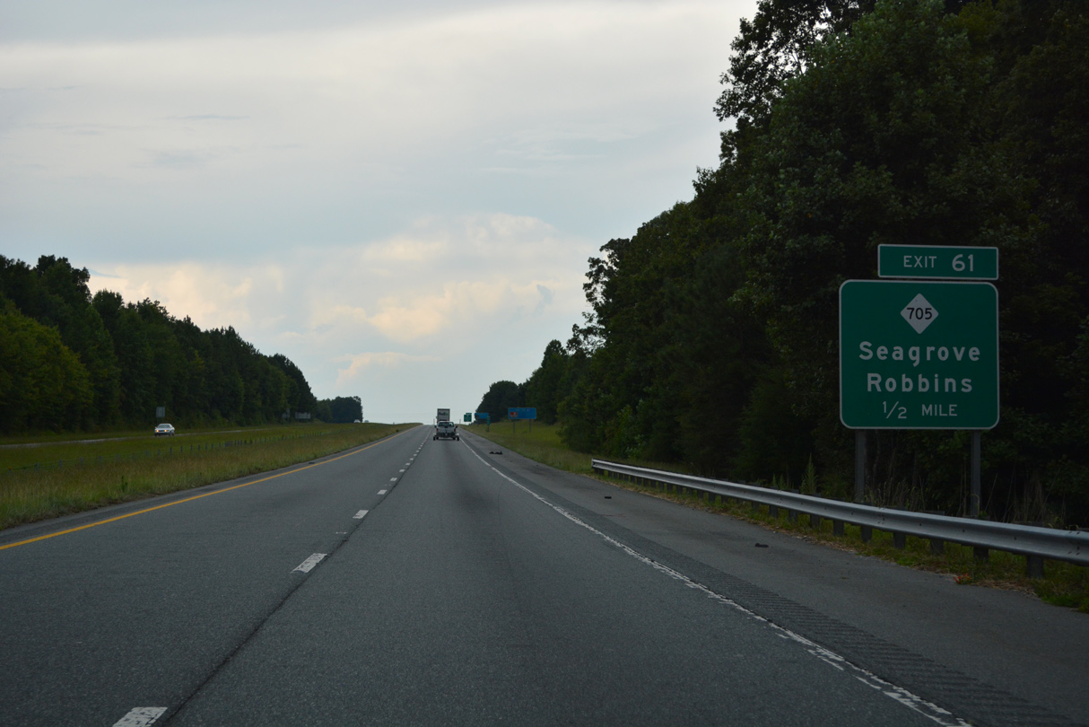
| One half mile south of the diamond interchange (Exit 61) with NC 705 (Little River Road). Little River Road (SR 1119) continues 3.63 miles southwest to Black Ankle Road at the county line. 08/14/21 |
|
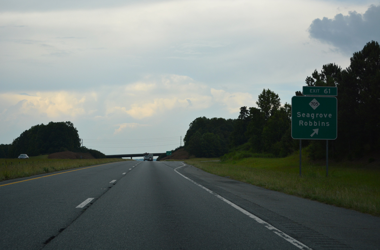
| NC 705 angles southeast from Seagrove to Whynot, Westmoore and Robbins. The route forms a 26.01 mile arc from Exit 61 to NC 211 east of Candor. 08/14/21 |
|
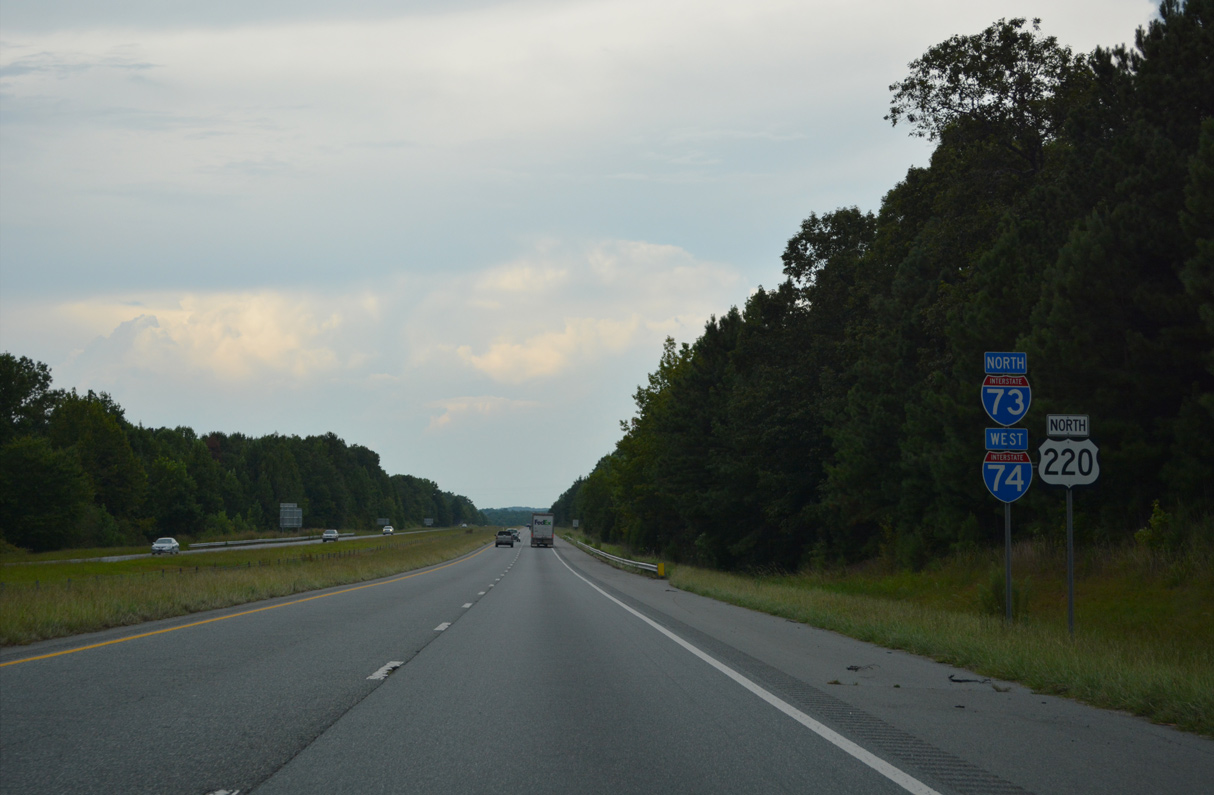
| Confirming markers for I-73/74 and U.S. 220 posted northbound between the town of Seagrove and Wagners Branch. 08/14/21 |
|
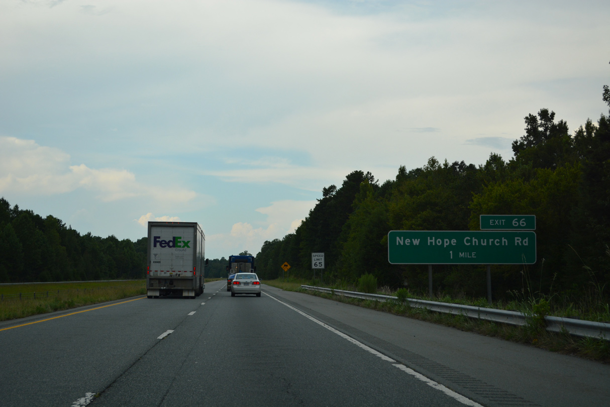
| New Hope Church Road (SR 1121) heads 4.76 miles north from Little River Road to I-73/74 at Exit 66. 08/14/21 |
|
| New Hope Church Road (SR 1121) north to U.S. 220 ALT connects I-73/74 with NC 159 (Zoo Parkway) to North Carolina Zoological Park. 08/14/21 |
|
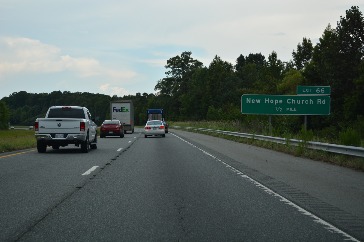
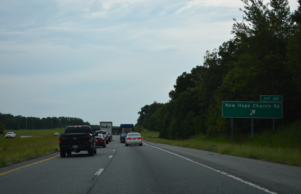
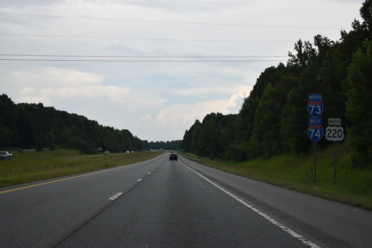
| Exit 66 leaves I-73/74 and U.S. 220 north for New Hope Church Road south of Ulah. 08/14/21 |
|
| Monterey Road (SR 1256) runs along the west side of I-73/74 north from New Hope Church Road to NC 134. 08/14/21 |
|
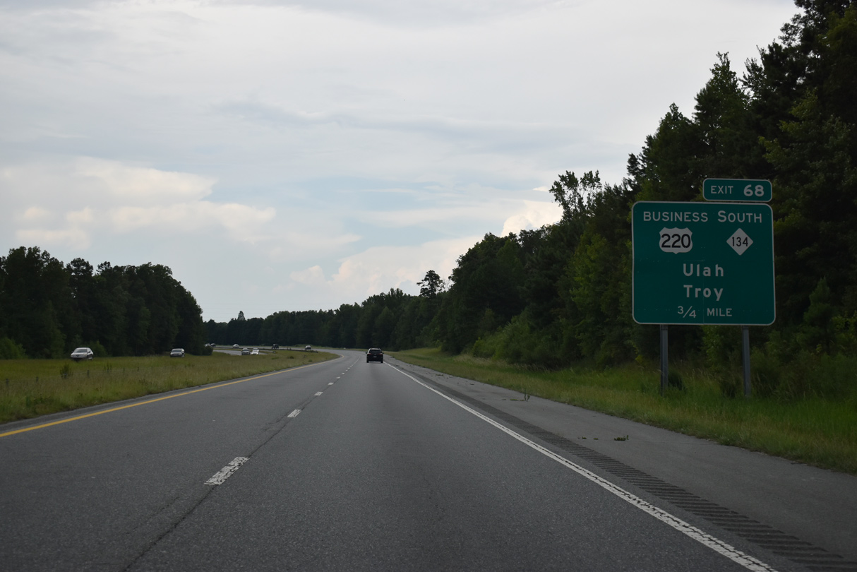
| U.S. 220 Alternate ties into U.S. 220 Business north from Exit 68 and Dawson Miller Road (SR 1138). 08/14/21 |
|
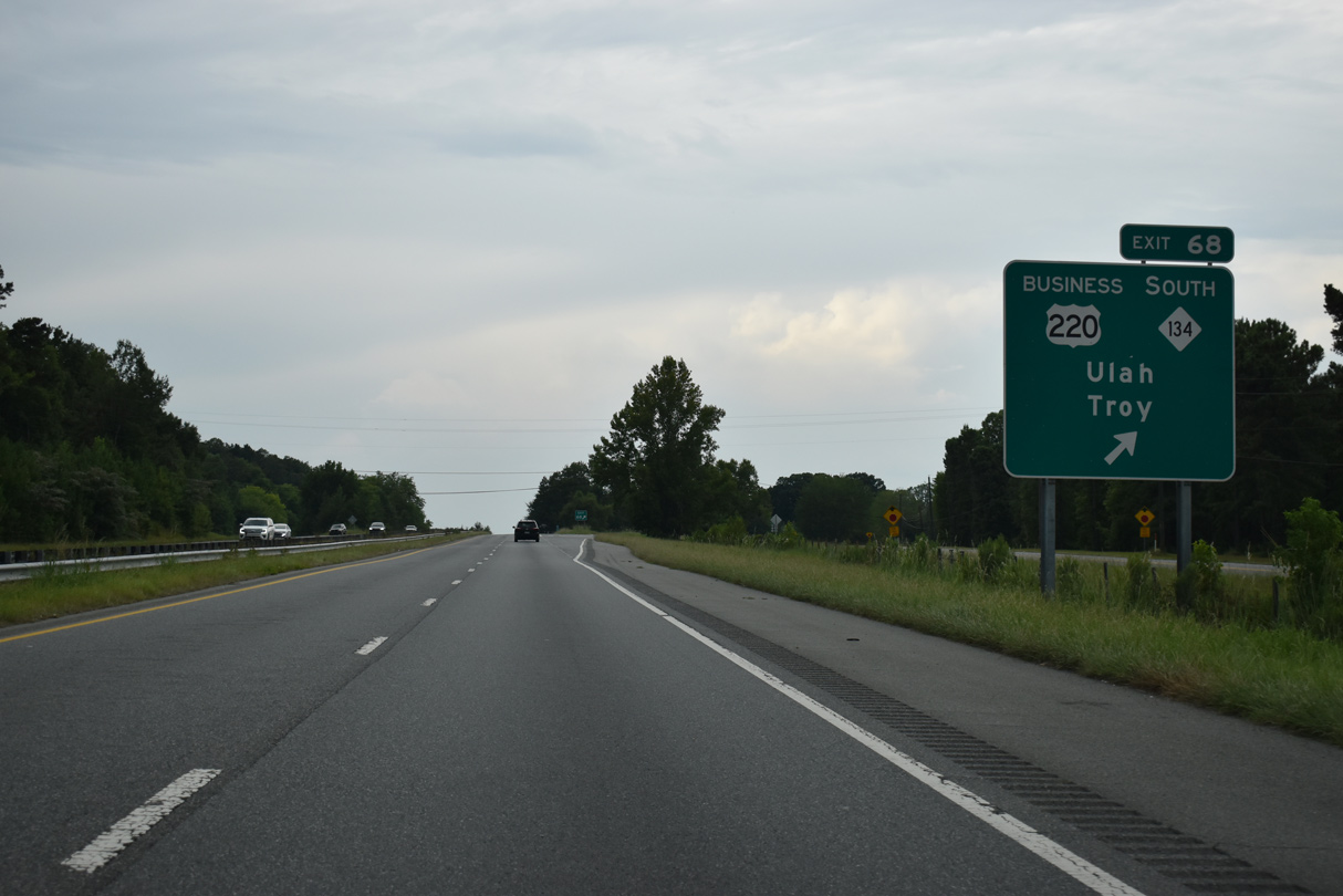
| U.S. 220 Alternate lines the east side of I-73/74 by Pinewood Country Club to Exit 68. NC 134 ties into the exchange with U.S. 220 Business from the west via Dawson Miller Road. NC 134 is a 19.08 mile route south to Troy. 08/14/21 |
|
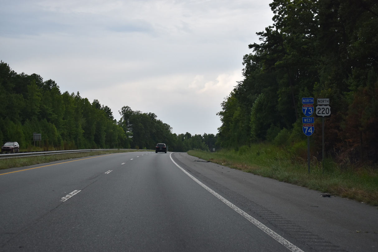
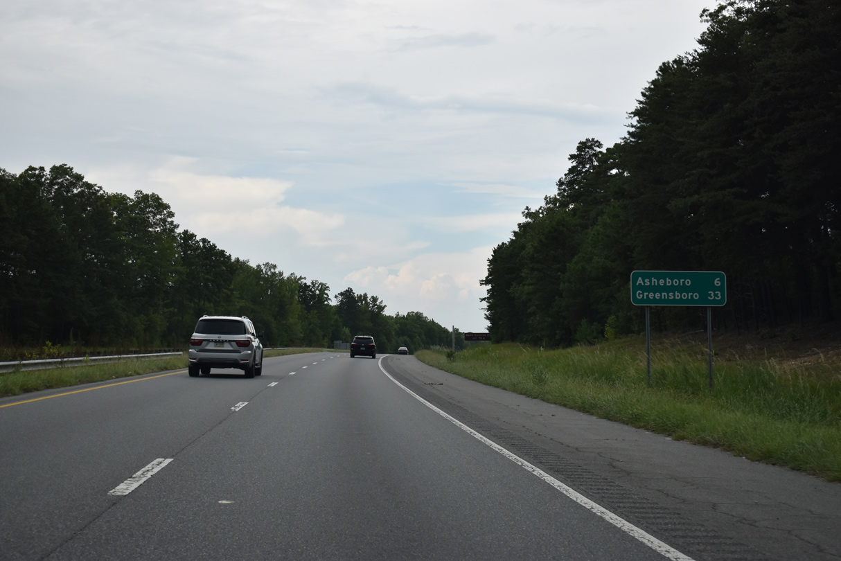
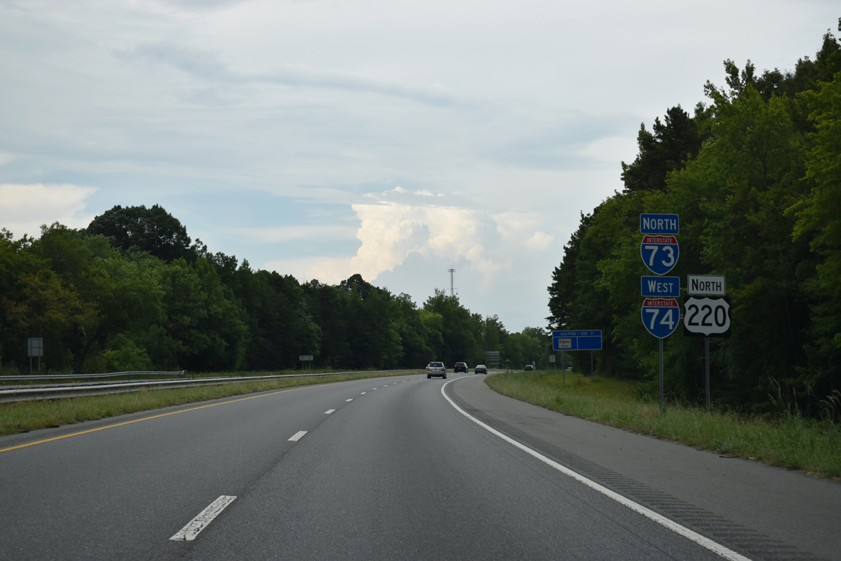
| I-73/74-U.S. 220 curve west around the unincorporated community of Ulah toward Asheboro. 08/14/21 |
|
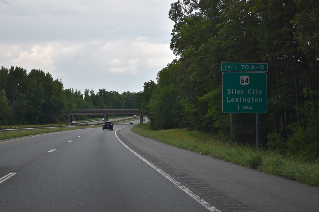
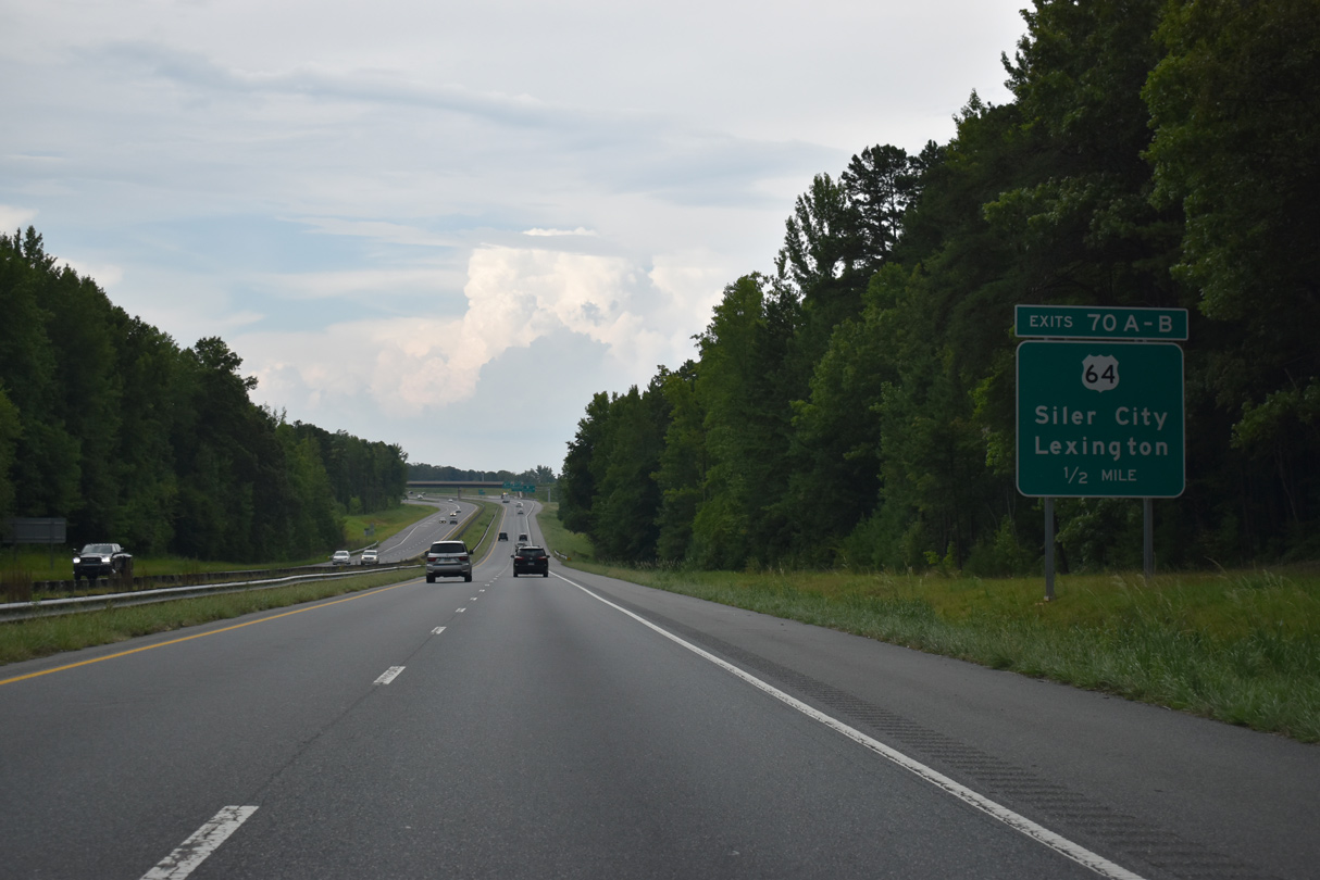
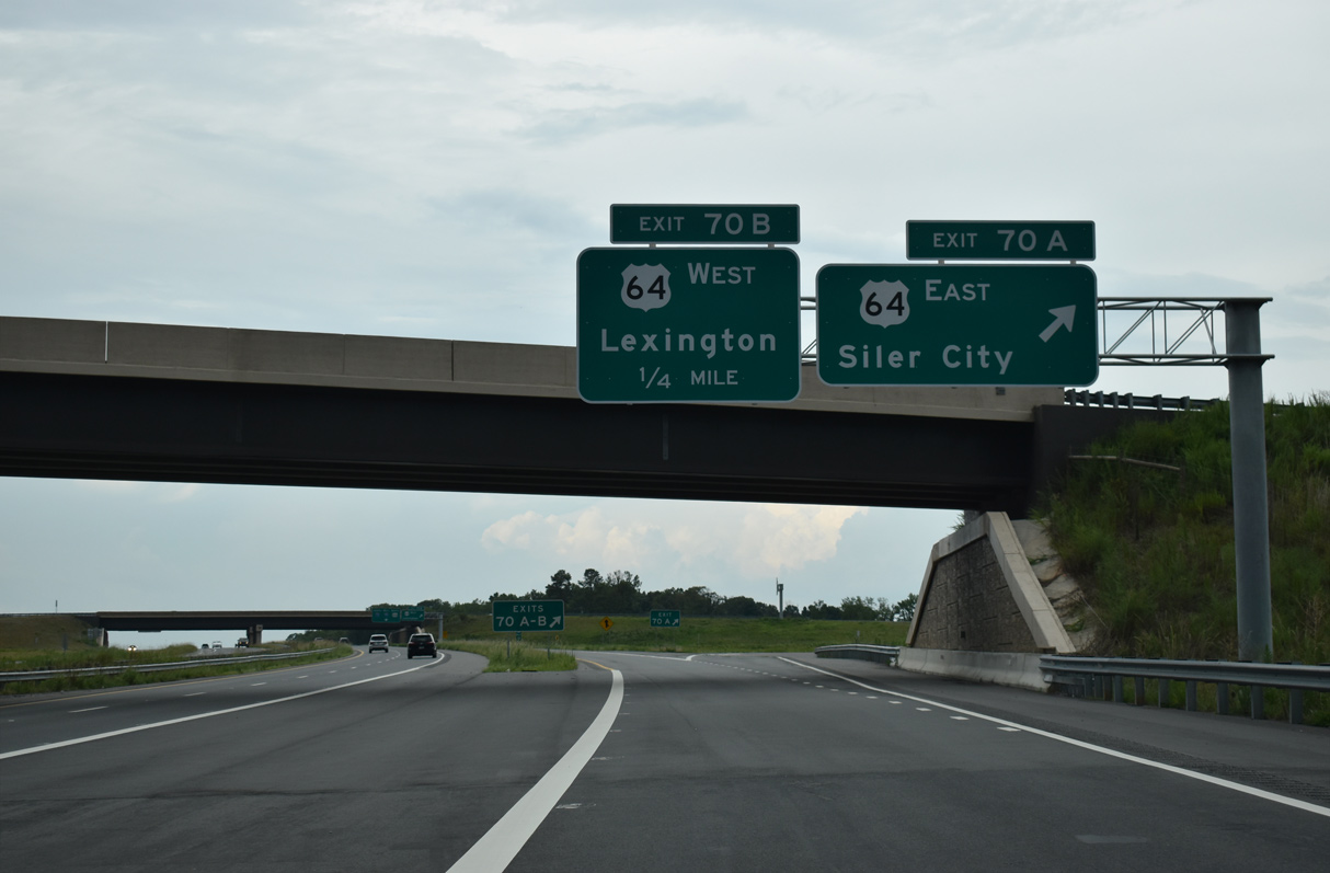
| Opened to traffic on December 18, 2020,1 the Asheboro Bypass connects with I-73/74 at a cloverleaf interchange (Exit 70) 1.6 miles north of Exit 68. 08/14/21 |
|
| Downtown Asheboro is 6.5 miles to the north where NC 42 (Salisbury Street) and U.S. 220 Business (Fayetteville Street) come together. 08/14/21 |
|
| Costing $264 million, construction on the Asheboro Bypass for U.S. 64 started in 2015.1 08/14/21 |
|
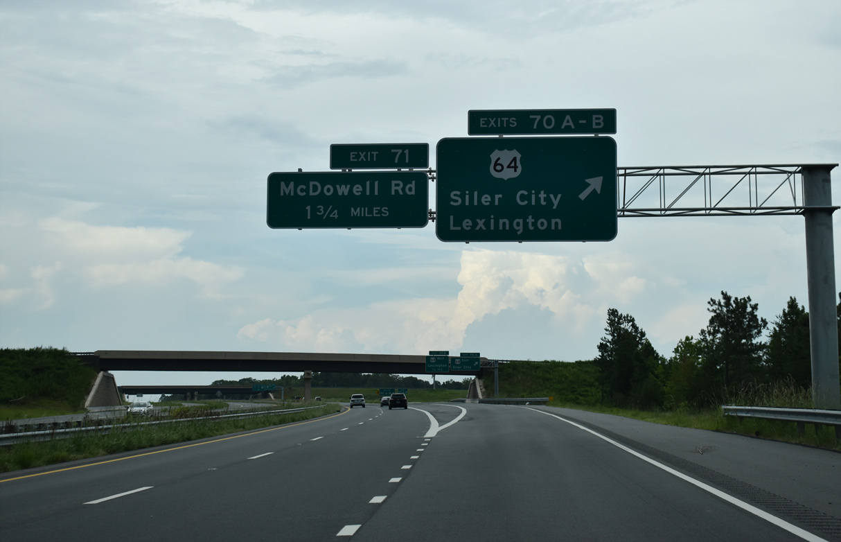
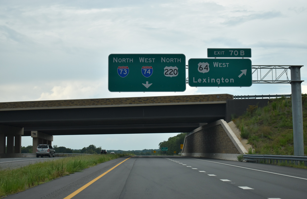
| A collector distributor roadway separates from I-73/74 north for U.S. 64 along the Asheboro Bypass. 14.4 miles in length, the four lane freeway loops south of the city with four interchanges. 08/14/21 |
|
| Construction of the Asheboro Bypass included the 1.7 mile long Zoo Connector, a controlled access route for U.S. 64 at Exit 346 east of I-73/74 to NC 159 (Zoo Parkway).1 08/14/21 |
|
| U.S. 64 runs northwest from Asheboro to Lexington and Mocksville. 08/14/21 |
|
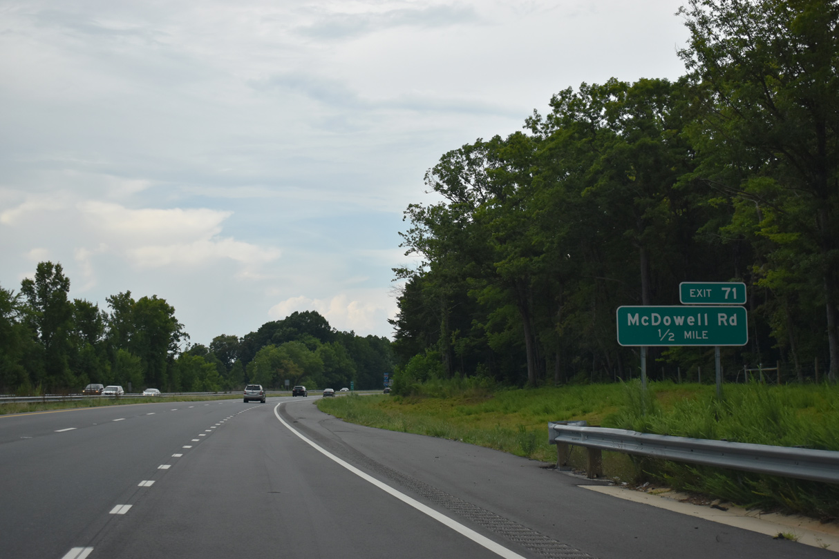
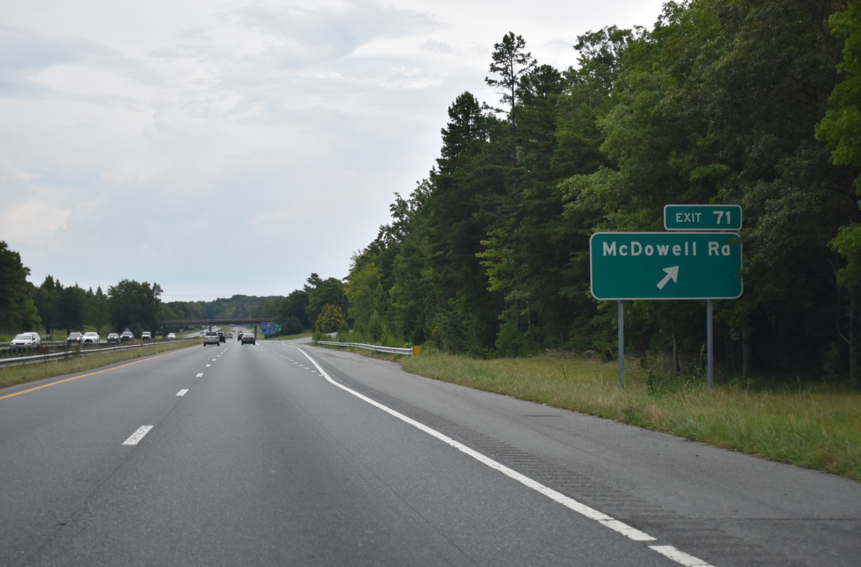
| McDowell Road (SR 1150) serves the industrial south side of Asheboro east from I-73/74 at Exit 71 to U.S. 220 Business (S Fayetteville Street). 08/14/21 |
|
| NCDOT recorded 24,500 vehicles per day (vpd) along I-73/74 north ahead of Exit 71 in 2021. 08/14/21 |
|
| McDowell Road continues west from the diamond interchange (Exit 71) with I-73/74 to residential areas at Mack Road (SR 1144). 08/14/21 |
|
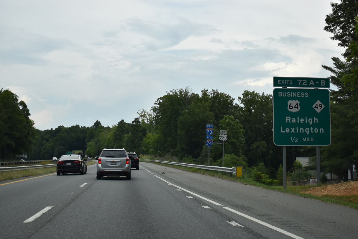
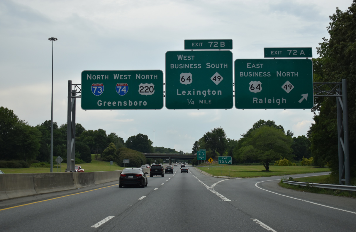
| Entering the city of Asheboro, I-73/74 and U.S. 220 curve northwest from Randolph Community College and parallel Industrial Park Avenue (SR 1191). A cloverleaf interchange follows with U.S. 64 Business/NC 49 (W Dixie Drive) at Exit 72. 08/14/21 |
|
| U.S. 64 Business and NC 49 combine along Dixie Drive through the Randolph County seat of Asheboro. U.S. 64/NC 49 overlap east to the town of Ramseur, where they separate to Siler City and Burlington respectively. U.S. 64 continues along a four lane corridor to Pittsboro, Cary and Raleigh. 08/14/21 |
|
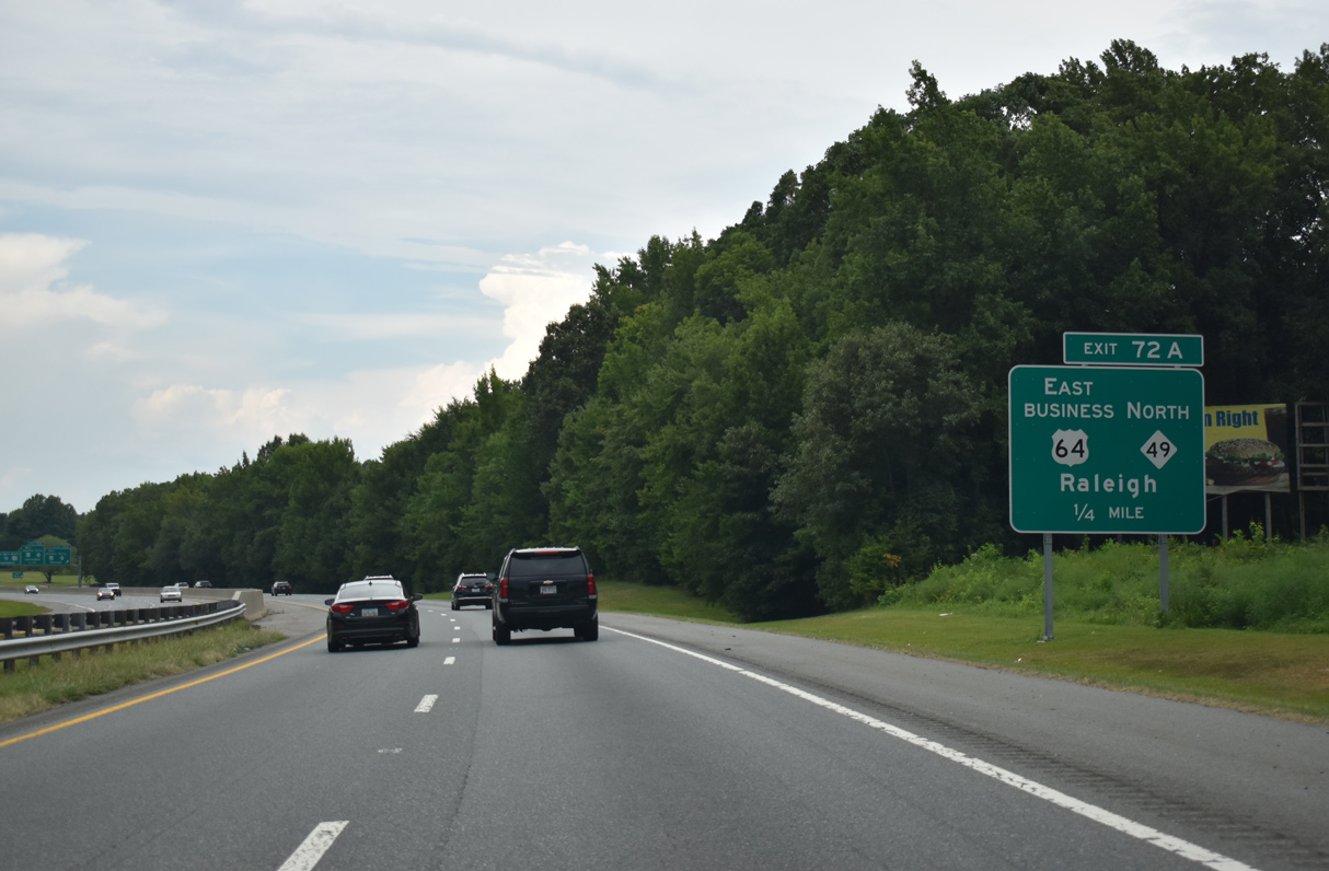
| U.S. 64 Business/NC 49 constitute a commercial arterial east from Exit 72 A to U.S. 220 Business (Fayetteville Street), the north end of NC 159 (Cox Road), and eastern reaches of Asheboro. 08/14/21 |
|
| U.S. 64 Business and NC 49 split 0.33 miles to the west at Albemarle Road (SR 1713). U.S. 64 Business branches northwest, becoming U.S. 64 en route to I-85 outside Thomasville in 21 miles. NC 49 turns southwesterly to Concord. 08/14/21 |
|
| I-73/74 originally ended at the exchange with U.S. 64/NC 49. 08/14/21 |
|
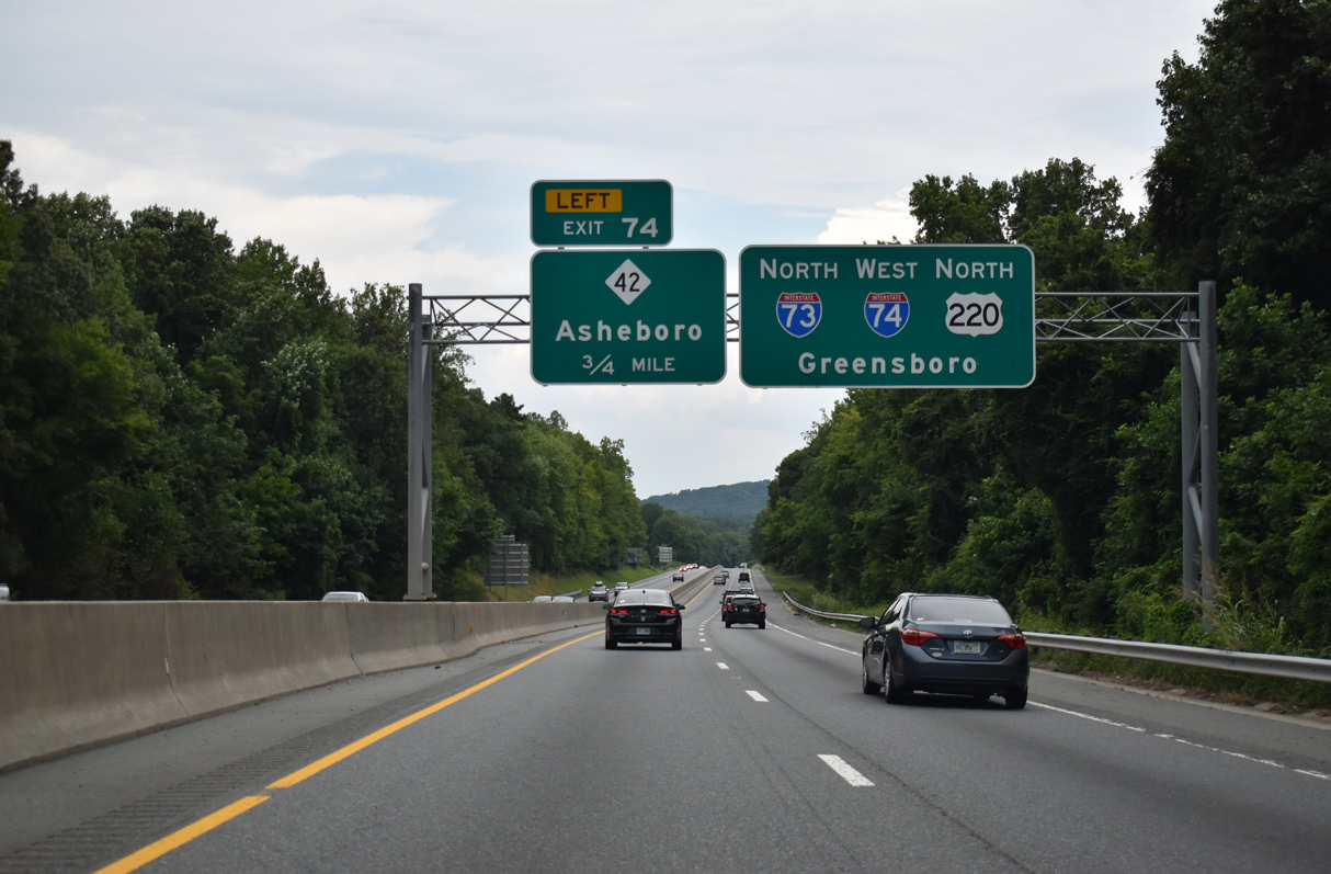
| NC 42 (Salisbury Street) connects I-73/74 and U.S. 220 with Downtown Asheboro at the ensuing exit. NC 42 travels 226 miles from I-73/74 at Asheboro to Colerain in the northeastern part of the state. 08/14/21 |
|
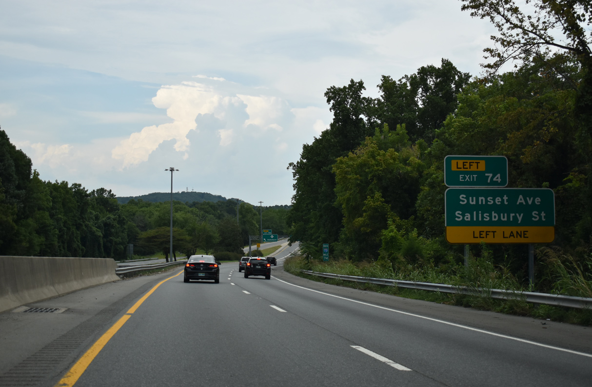
| Sunset Avenue (SR 1442) branches east from Lexington Avenue (SR 1004) through the inverted split diamond interchange (Exit 74) with I-73/74 east to Downtown. 08/14/21 |
|
| Left Exit 74 departs I-73-74/U.S. 220 northbound ahead of Sunset Avenue (SR 1442). SR 1004 (Lexington Road) extends northwest from NC 42 (Salisbury Street) to Back Creek Lake. 08/14/21 |
|
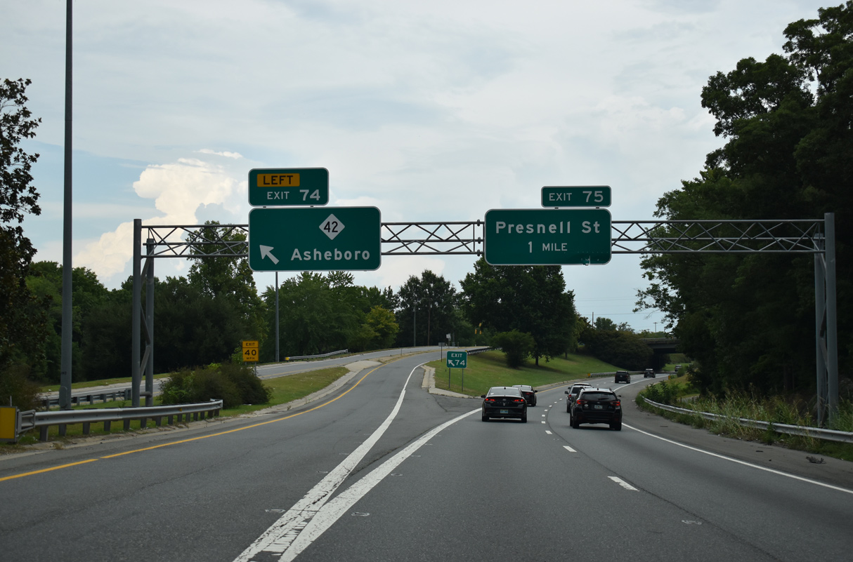
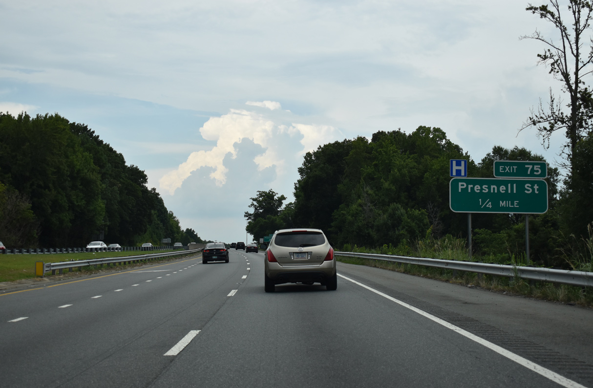
| The left entrance ramp from NC 42 merges onto I-73/74 north near McCray Park, a quarter mile from Exit 75 to Presnell Street (SR 1462). 08/14/21 |
|
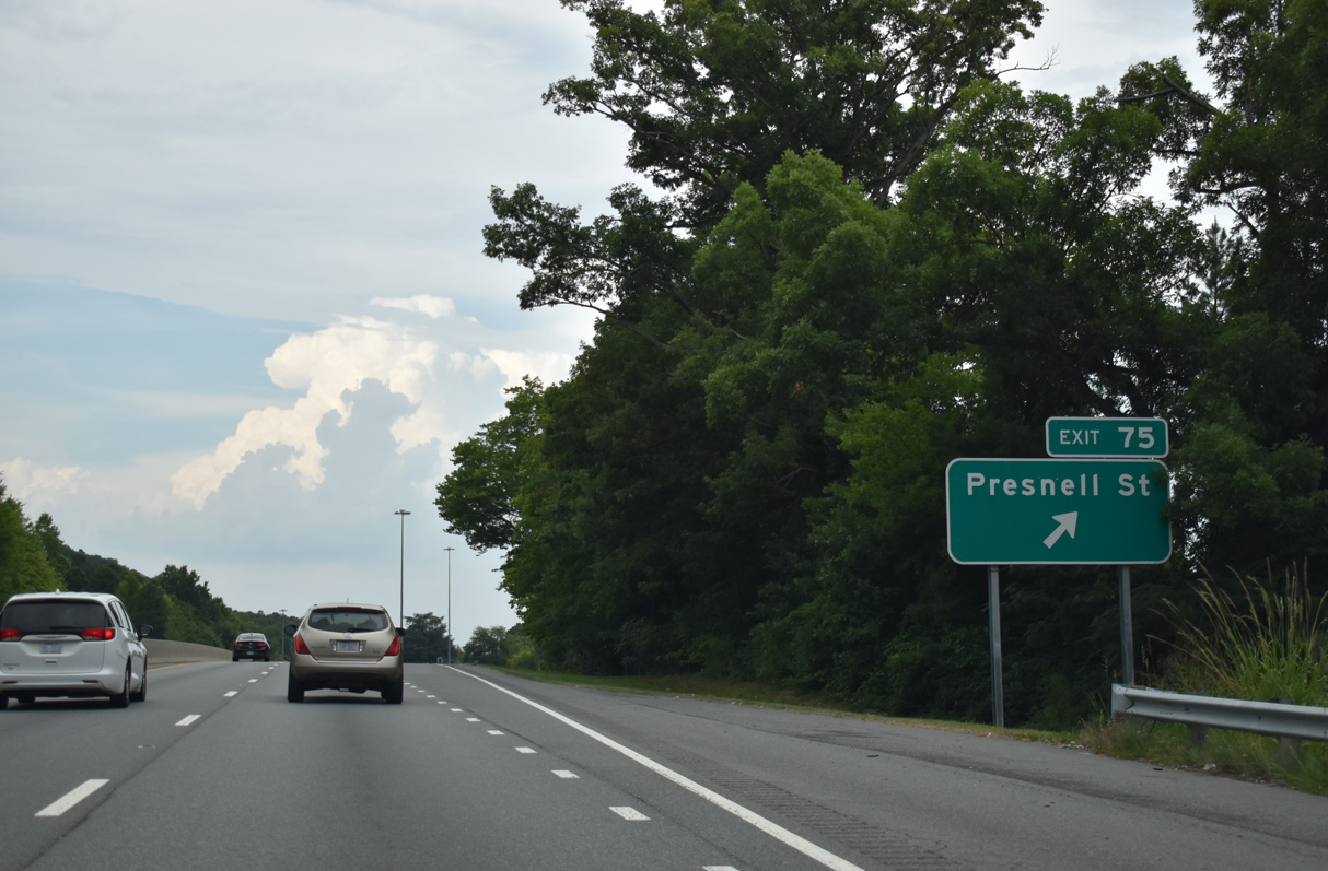
| Park Drive (SR 1462) heads west from the diamond interchange (Exit 75) with Presnell Street to leafy residential areas. Presnell Street leads southeast to U.S. 220 Business (Fayetteville Street) and U.S. 64 Business/NC 49 in east Asheboro. 08/14/21 |
|
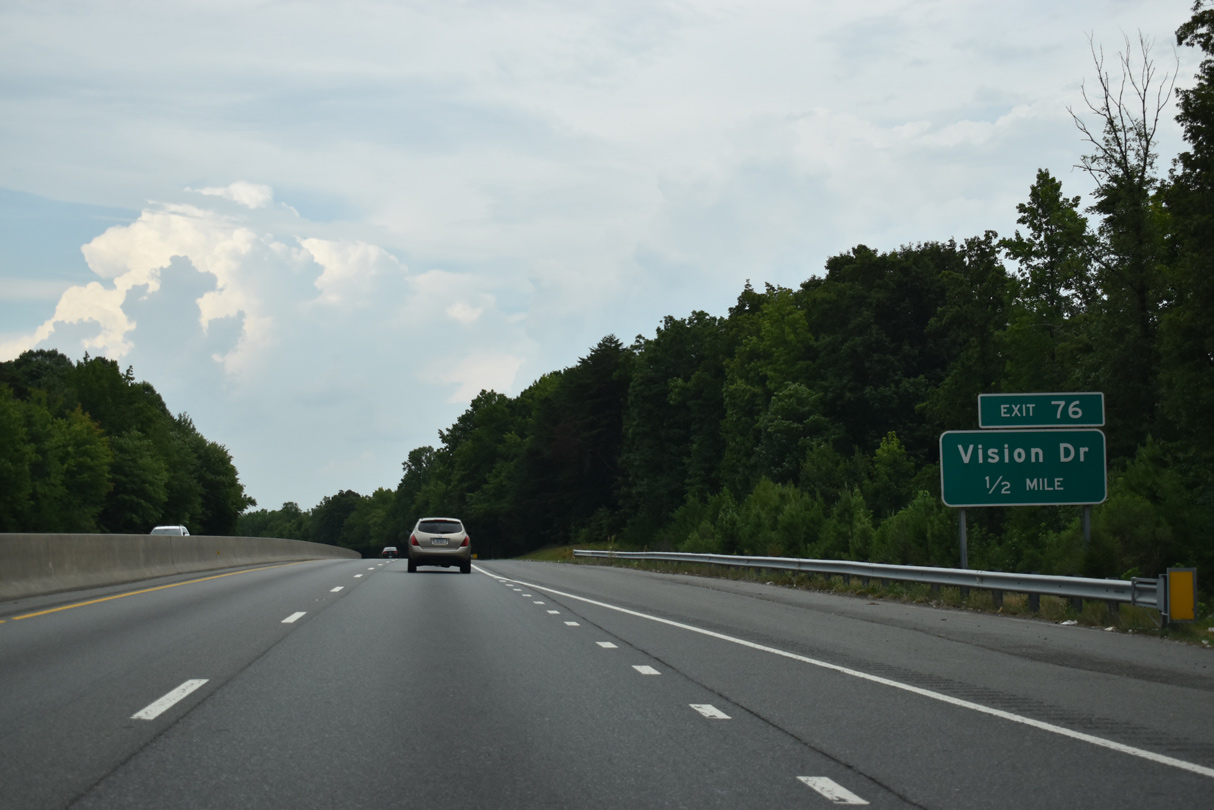
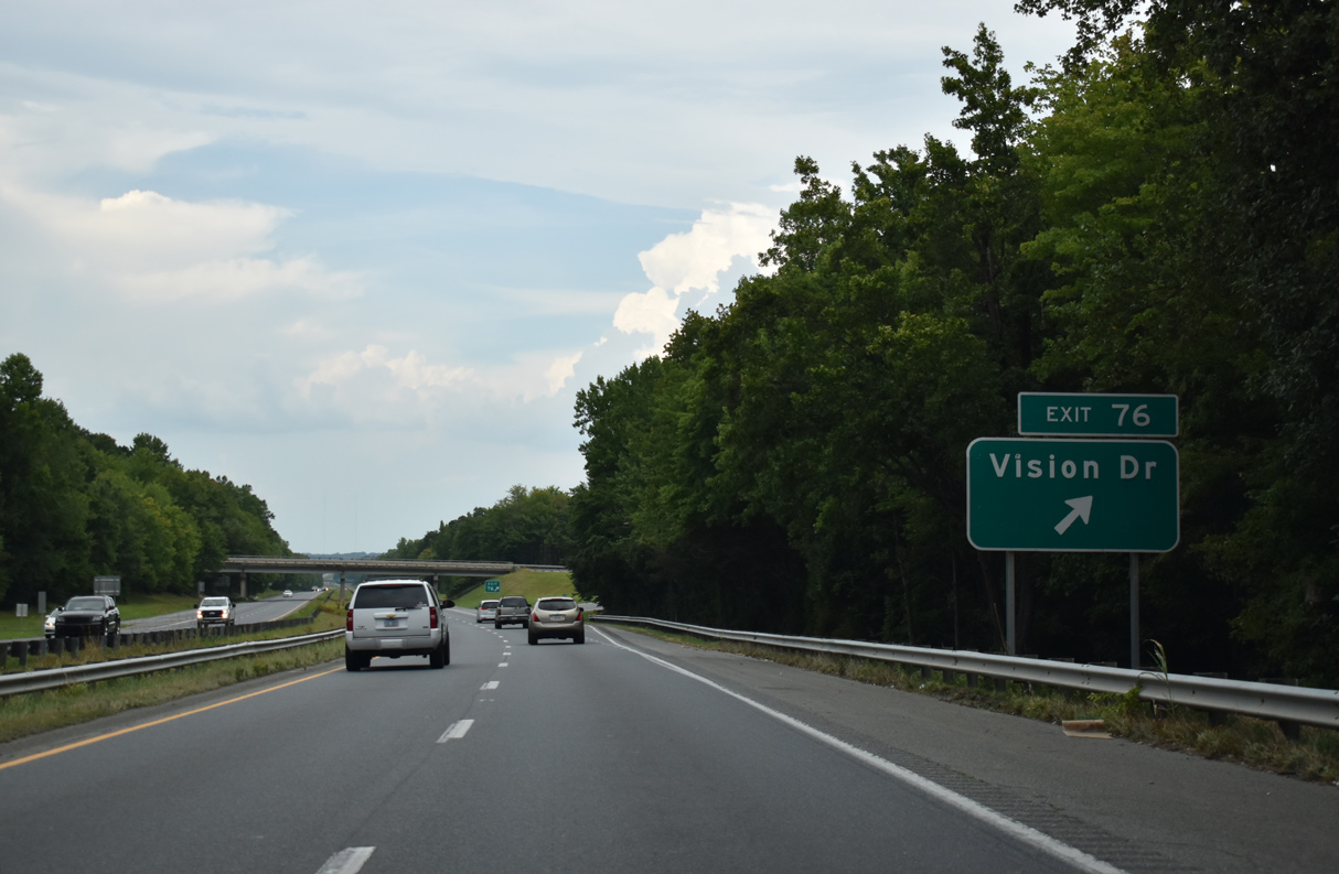
| Vision Drive (SR 2269) connects I-73/74 at Exit 76 with U.S. 220 Business (Fayetteville Street) 0.98 miles to the east in North Asheboro. 08/14/21 |
|
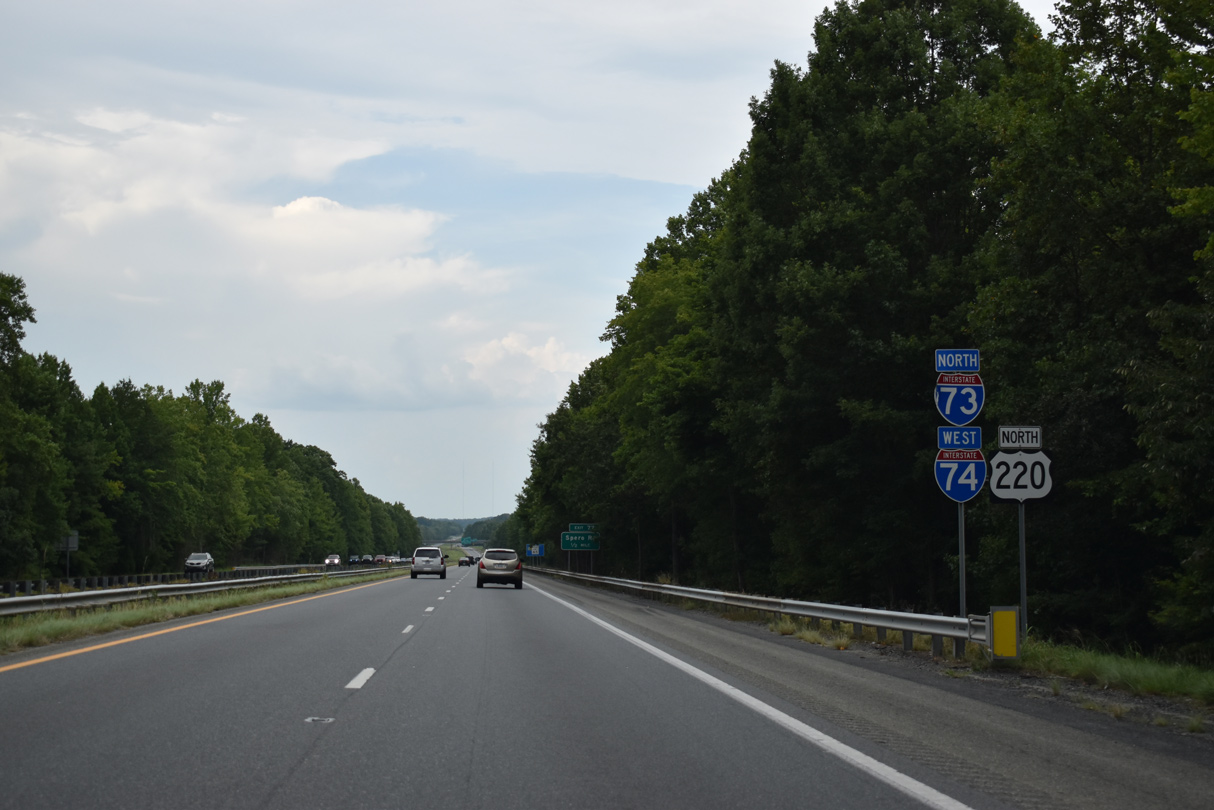
| A trumpet interchange (Exit 75) connects Vision Drive (SR 2269) and I-73-74/U.S. 220 between Daves and Hedrick Mountains. 08/14/21 |
|
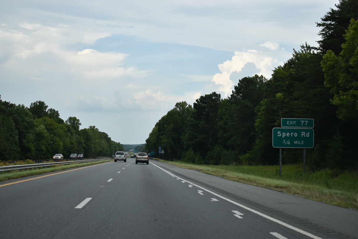
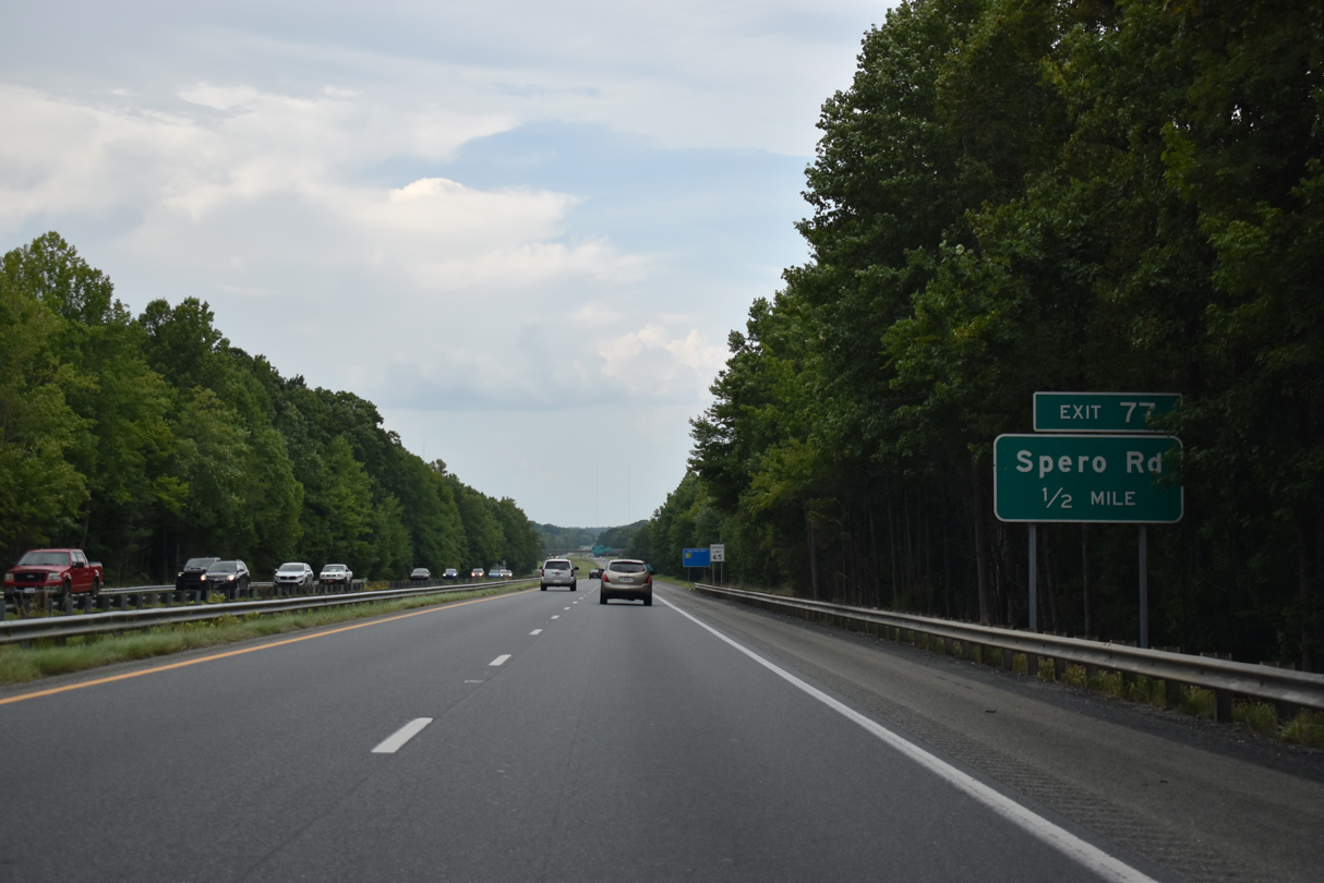
| I-73/74 advances north through a wooded area from Vision Drive to Exit 77 for Spero Road (SR 1504). 08/14/21 |
|
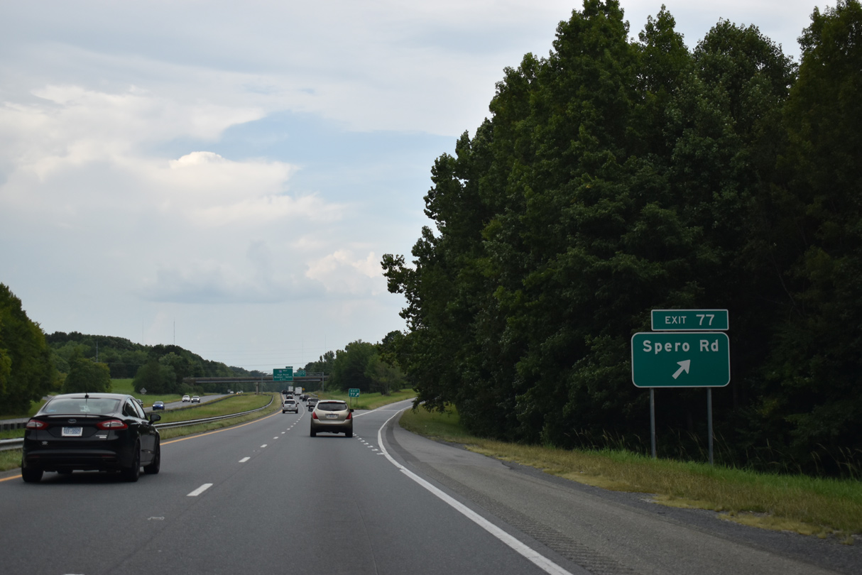
| Spero Road (SR 1504) meanders through rural areas northwest from the diamond interchange (Exit 77) with I-73/74. 08/14/21 |
|
| Eastward from Exit 77, Spero Road (SR 1504) splits into Central and Balfour Avenues en route to U.S. 220 Business. 08/14/21 |
|
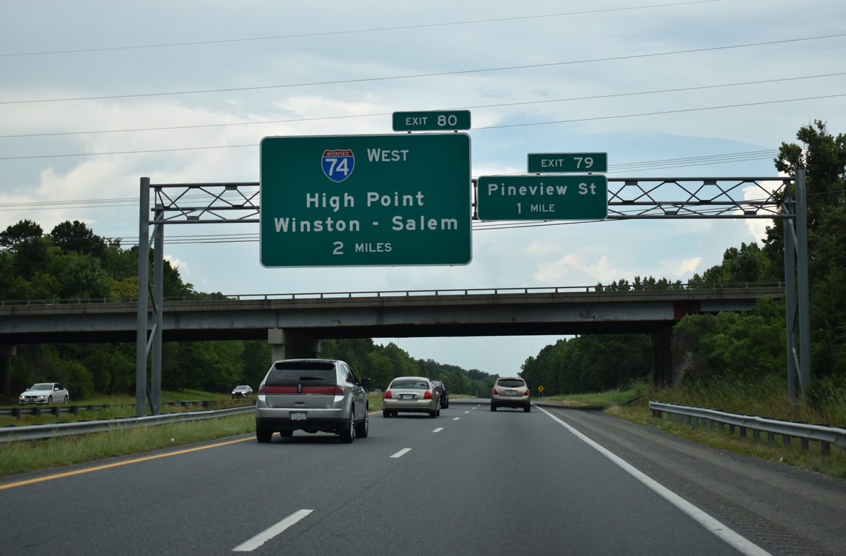
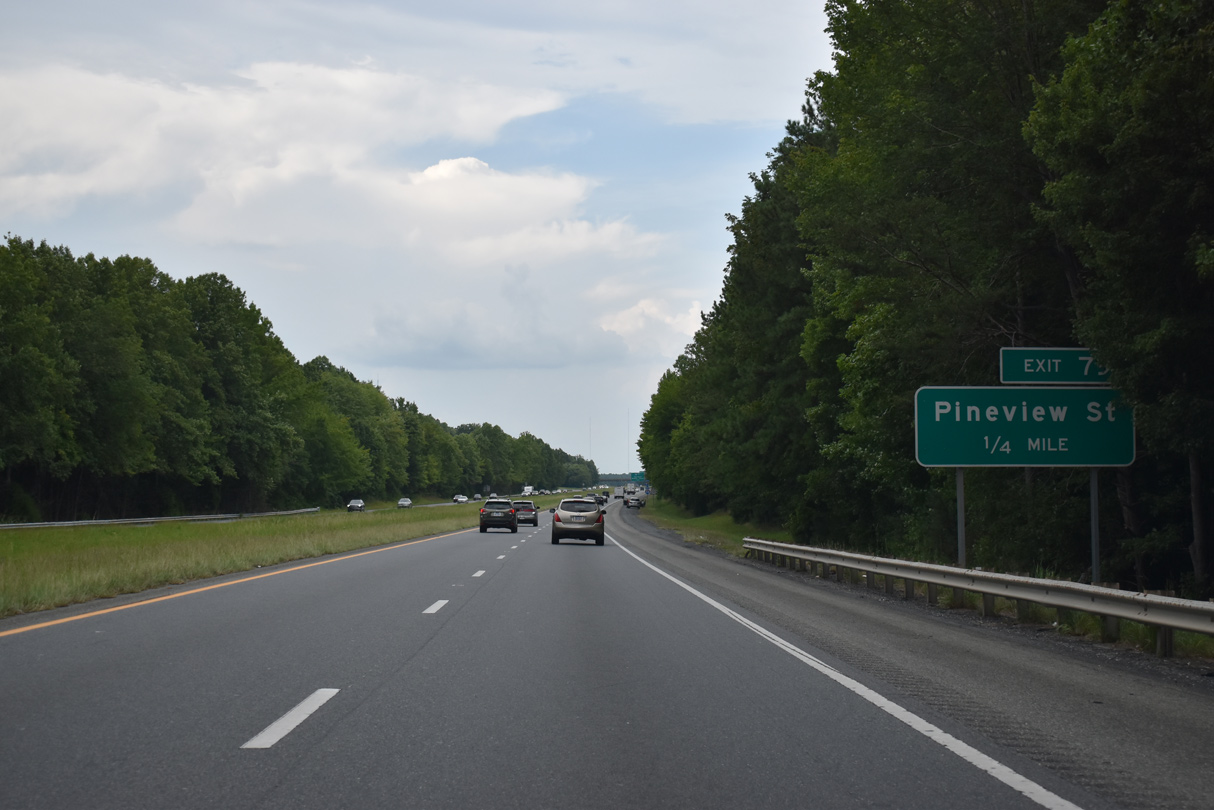
| The diamond interchange at Exit 79 connects with Pineview Street / Road (SR 1712) one mile south of the separation of I-74 west from I-73/U.S. 220 north. 08/14/21 |
|
| Pineview Street (SR 1712) stems west from U.S. 220 Business (N Fayetteville Street) to Exit 79 and Spero Road (SR 1504). 08/14/21 |
|
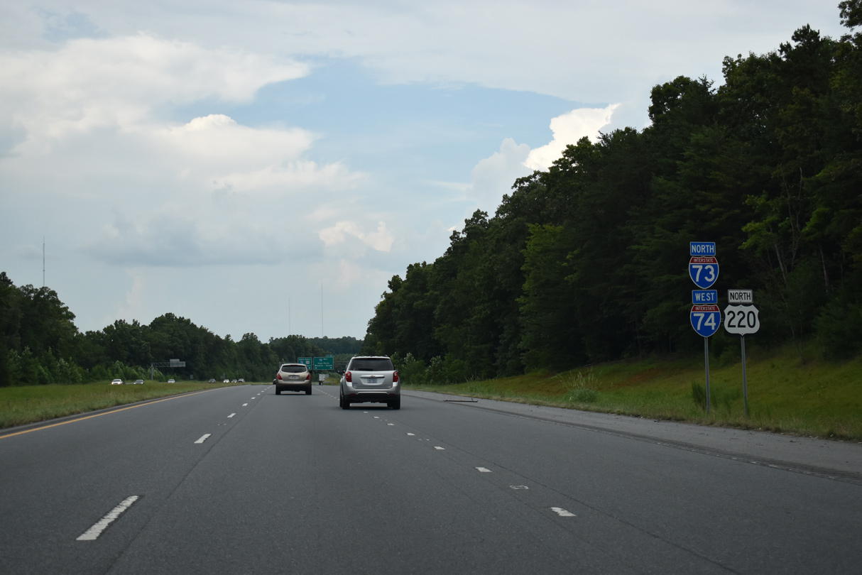
| I-73/74-U.S. 220 run just west of the Martin Marietta-Asheboro Quarry north to Exit 79. 08/14/21 |
|
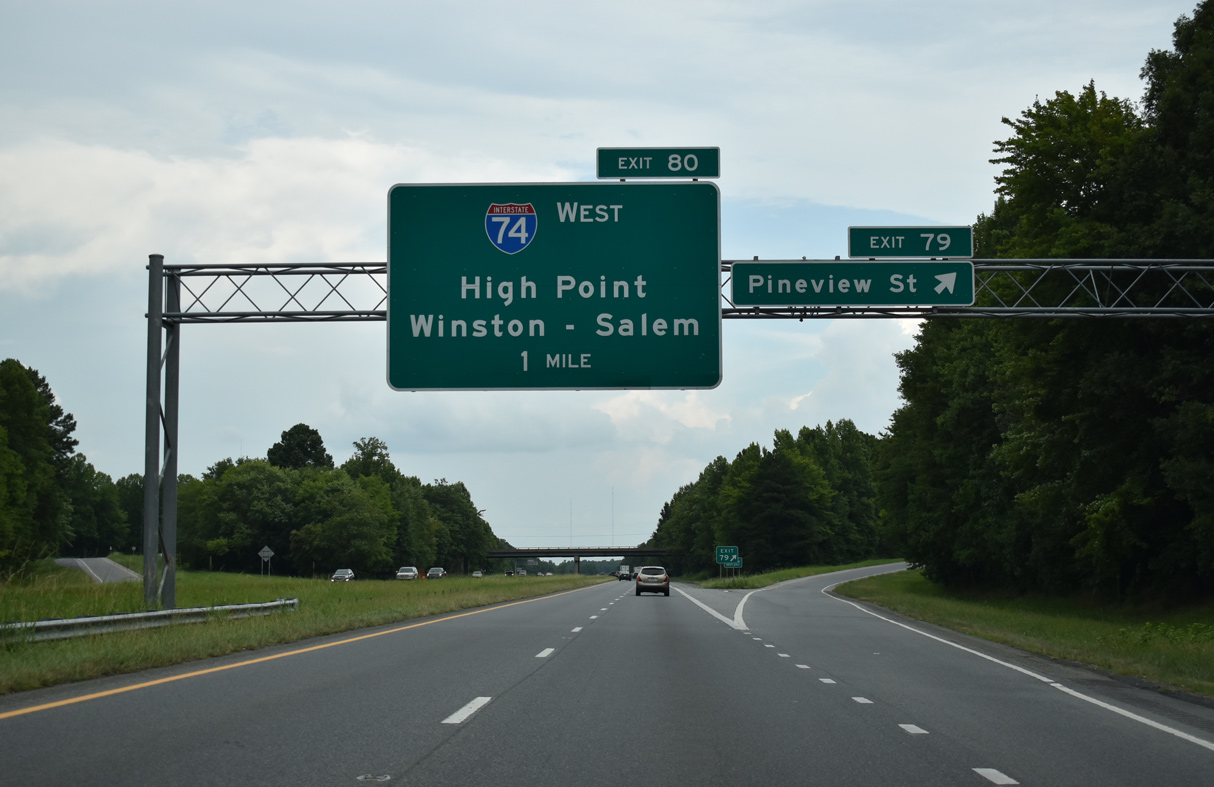
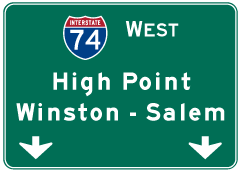
| Exit 79 leaves I-73/74-U.S. 220 north for Pineview Street. Interstate 74 northwest to Winston-Salem was completed on June 7, 2013 when the segment between Exit 80 and Glenola opened to traffic. 08/14/21 |
|
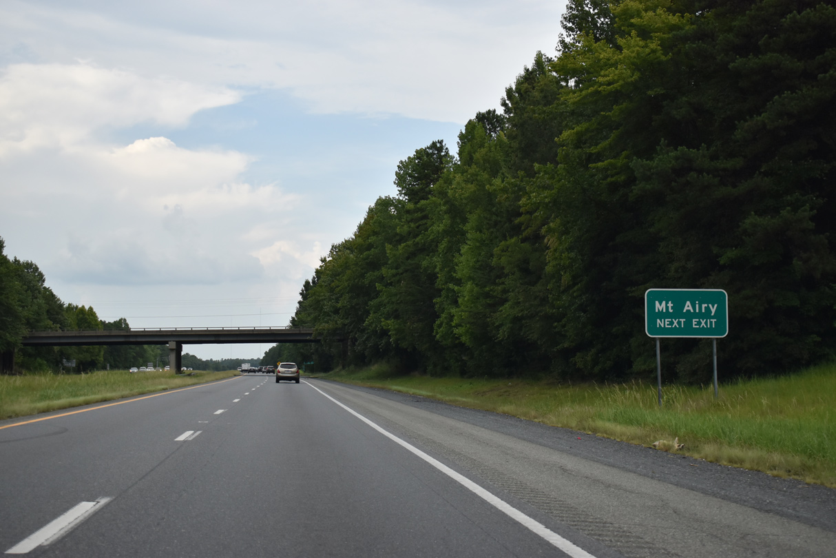
| Interstate 74 travels northwest to I-40 at Winston-Salem, where construction is underway to extend the route around the east side of the city. Future I-74 continues along U.S. 52 to Mount Airy, where I-74 resumes west to I-77 and the Virginia state line. 08/14/21 |
|
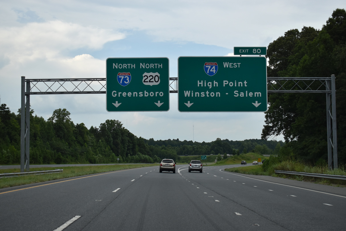
| Auxiliary lanes accompany both directions of I-73/74 between Pineview Street (SR 1712) and the modified trumpet interchange (Exit 80) with Interstate 74 west. 08/14/21 |
|
| Interstate 74 replaced U.S. 311, which opened as a freeway to High Point on November 22, 2010. 08/14/21 |
Page Updated 01-21-2023.


 North
North  West
West