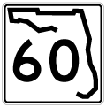
|
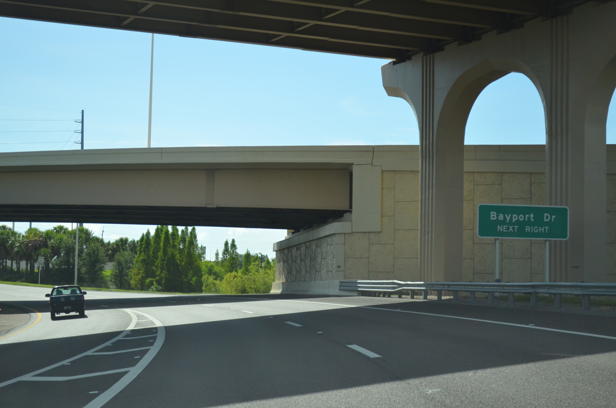
| A folded diamond interchange was constructed by 2007 between SR 60 (Courtney Campbell Causeway) and Bayport Drive. This eliminated an at-grade intersection. 06/26/15, 02/27/22 |
|
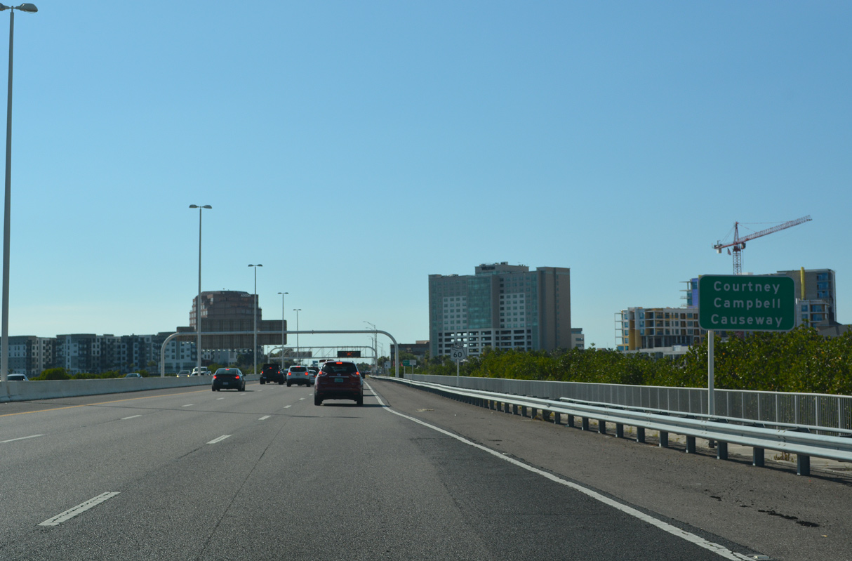
| SR 60 (Courtney Campbell Causeway) stems west from the Veterans Expressway with six overall lanes to Rocky Point. This portion consists of a full freeway. 02/27/22 |
|
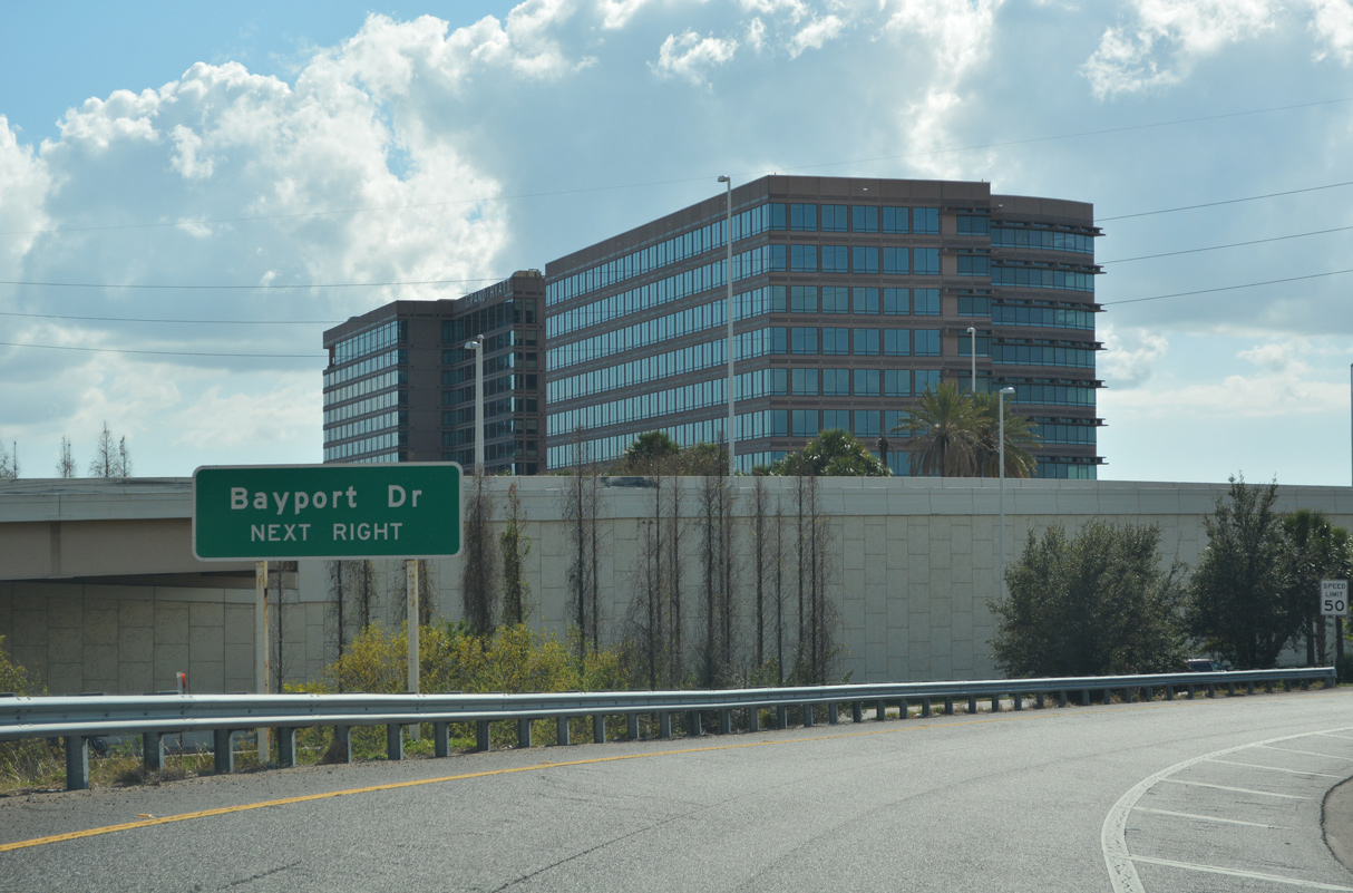
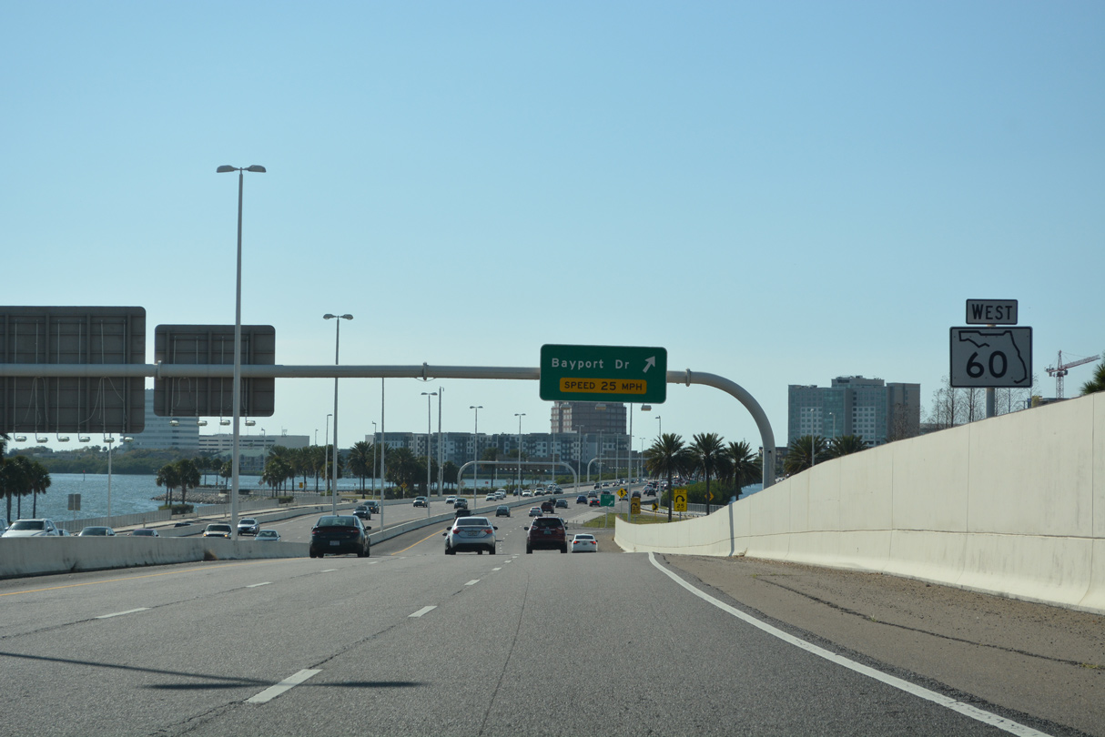
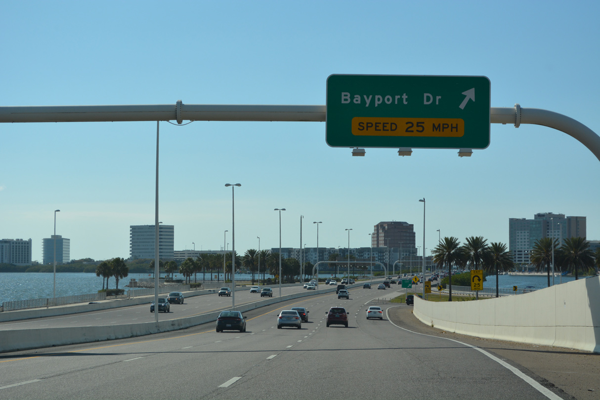
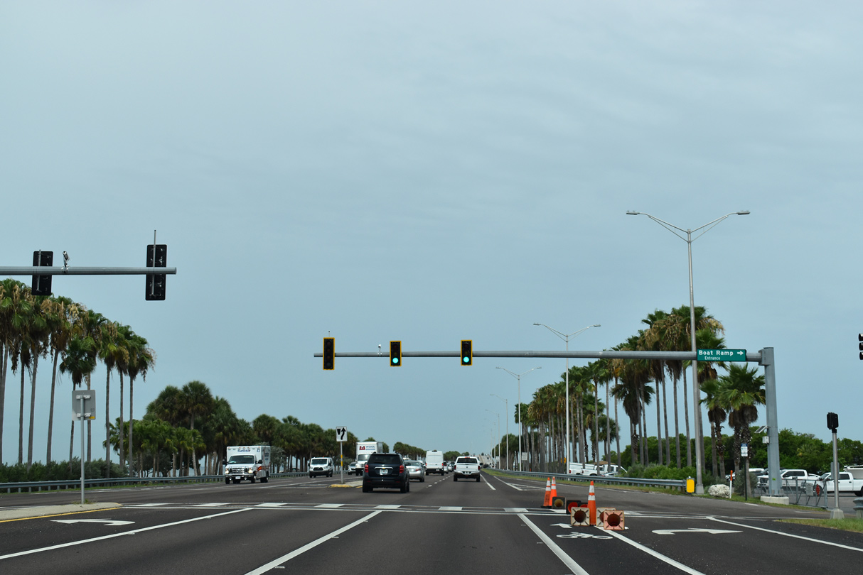
| Congestion ensues from the forthcoming traffic lights at Rocky Point as a loop ramp leaves SR 60 west for Bayport Drive. Bayport Drive comprises a local road to adjacent Bayport Plaza business complex. 02/27/22 |
|
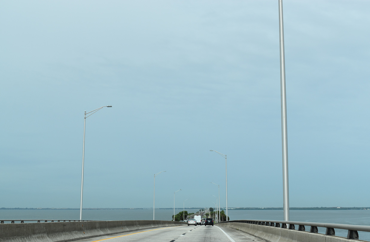
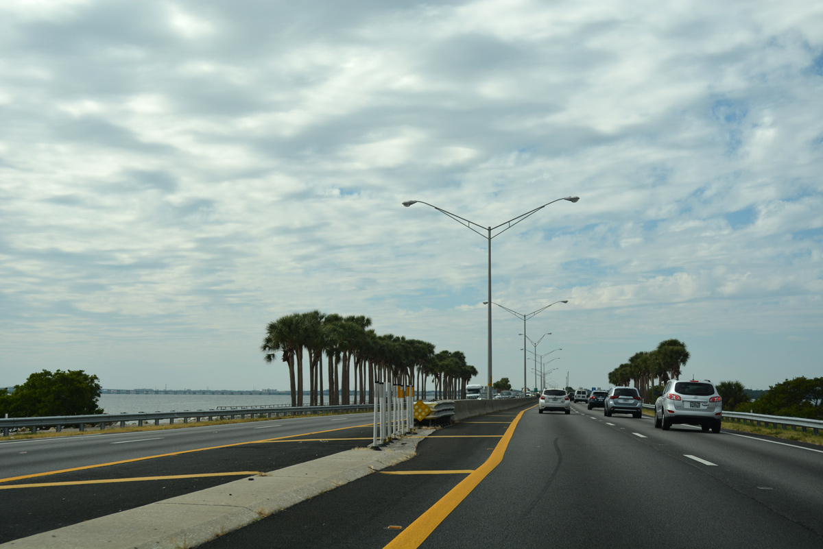
| Courtney Campbell Causeway carries SR 60 west ten miles across northern reaches of Old Tampa Bay. The road honors Courtney Campbell, a state road board member from Clearwater that advocated for improvements along the pivotal roadway. 02/27/22 |
|
| Reassurance marker for SR 60 posted after the on-ramp from Bayport Drive. 06/05/20 |
|
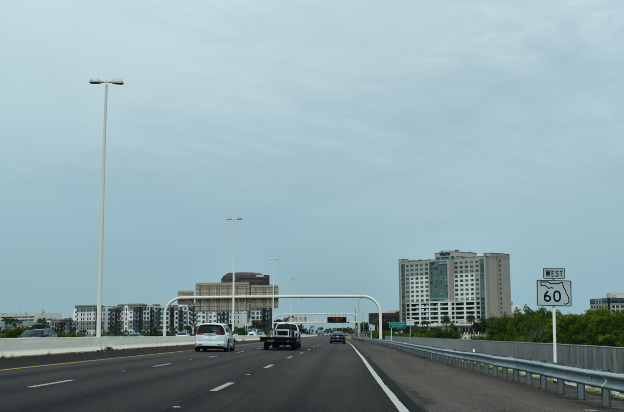
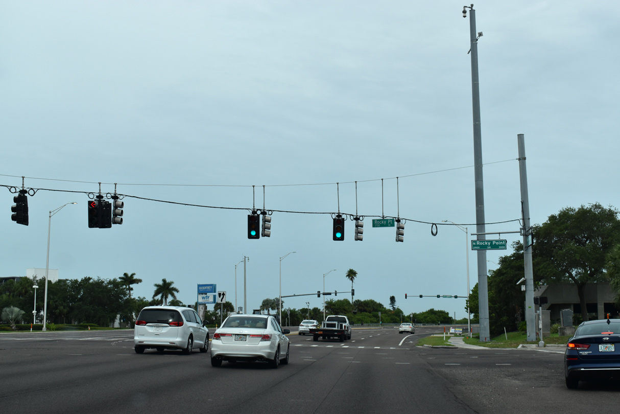
| SR 60 (Courtney Campbell Causeway) reaches Rocky Point, a narrow strip of land jutting out into Old Tampa Bay. Rocky Point Drive intersects the state road here, serving a number of condos, offices, and restaurants. 06/05/20 |
|
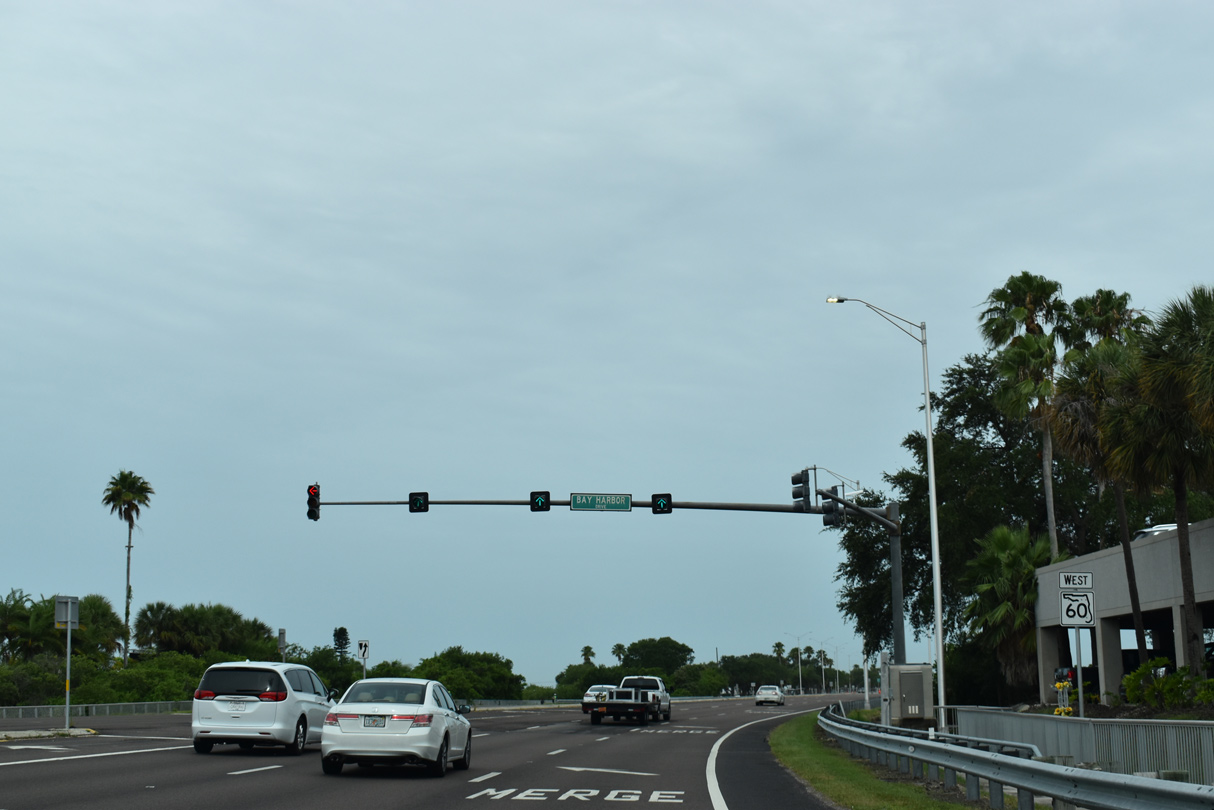
| The second Rocky Point traffic light includes a protected turn onto Bay Harbor Boulevard south to an adjacent hotel and restaurant. 06/05/20 |
|
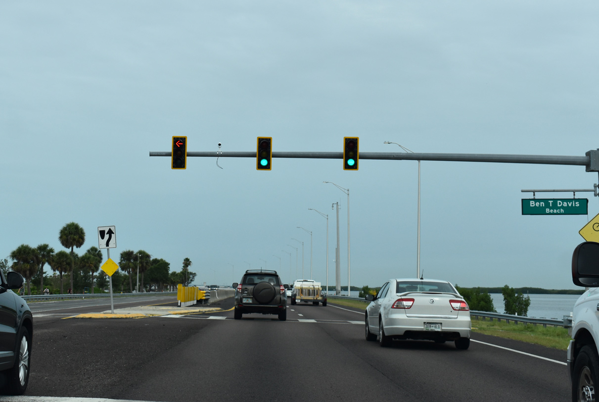
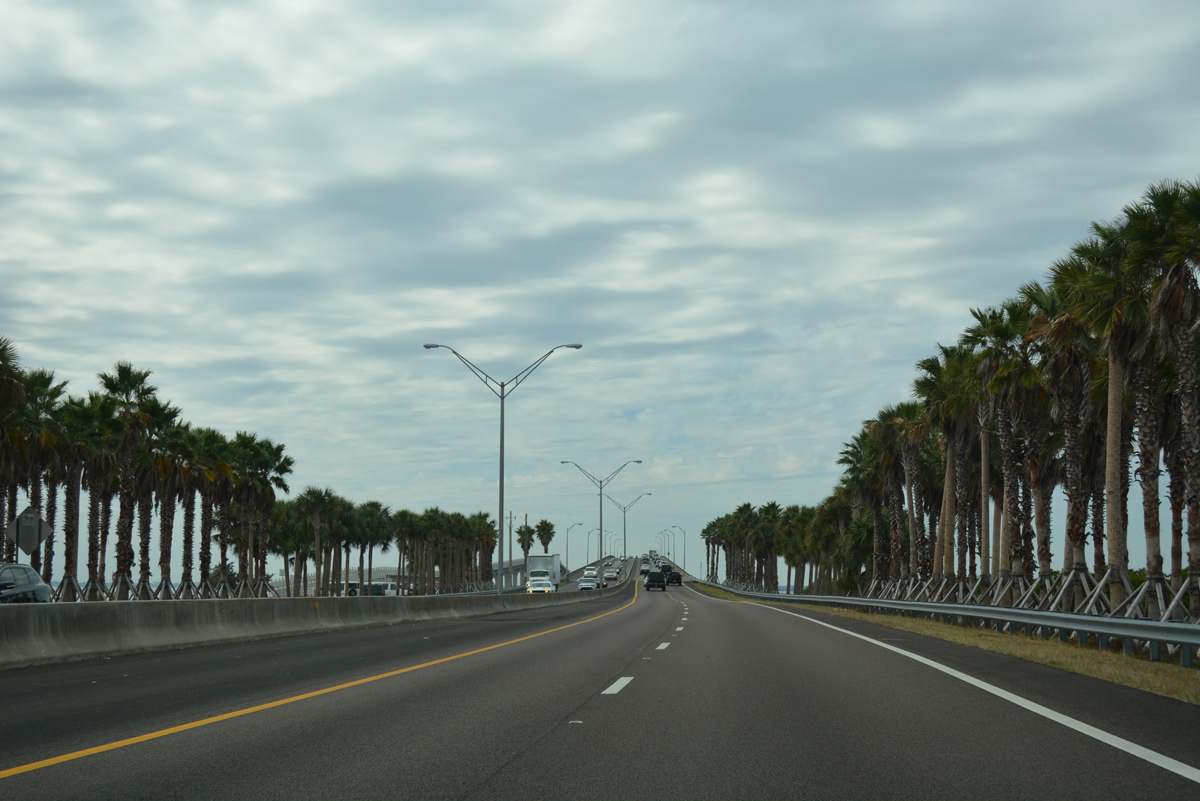
| A series of frontage roads skim the shallow waters of Old Tampa Bay along Courtney Campbell Causeway. Several access points are available to these roads which straddle Ben T. Davis Municipal Beach. 06/05/20 |
|
| SR 60 curves westward alongside Ben. T. Davis Municipal Beach along a narrow strip of land. Finished in June 2019, a bridge was constructed over a new channel. The $12 million project restores tidal flow to areas of Old Tampa Bay previously cut off by the creation of Courtney Campbell Parkway.1 06/05/20 |
|
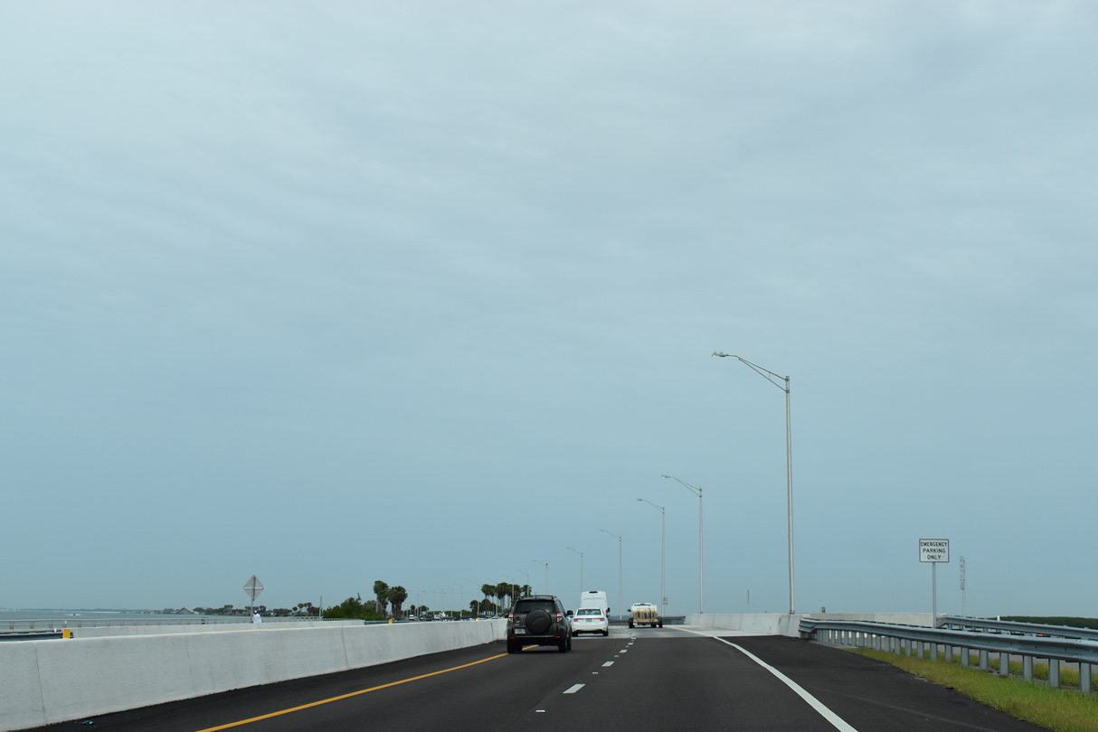
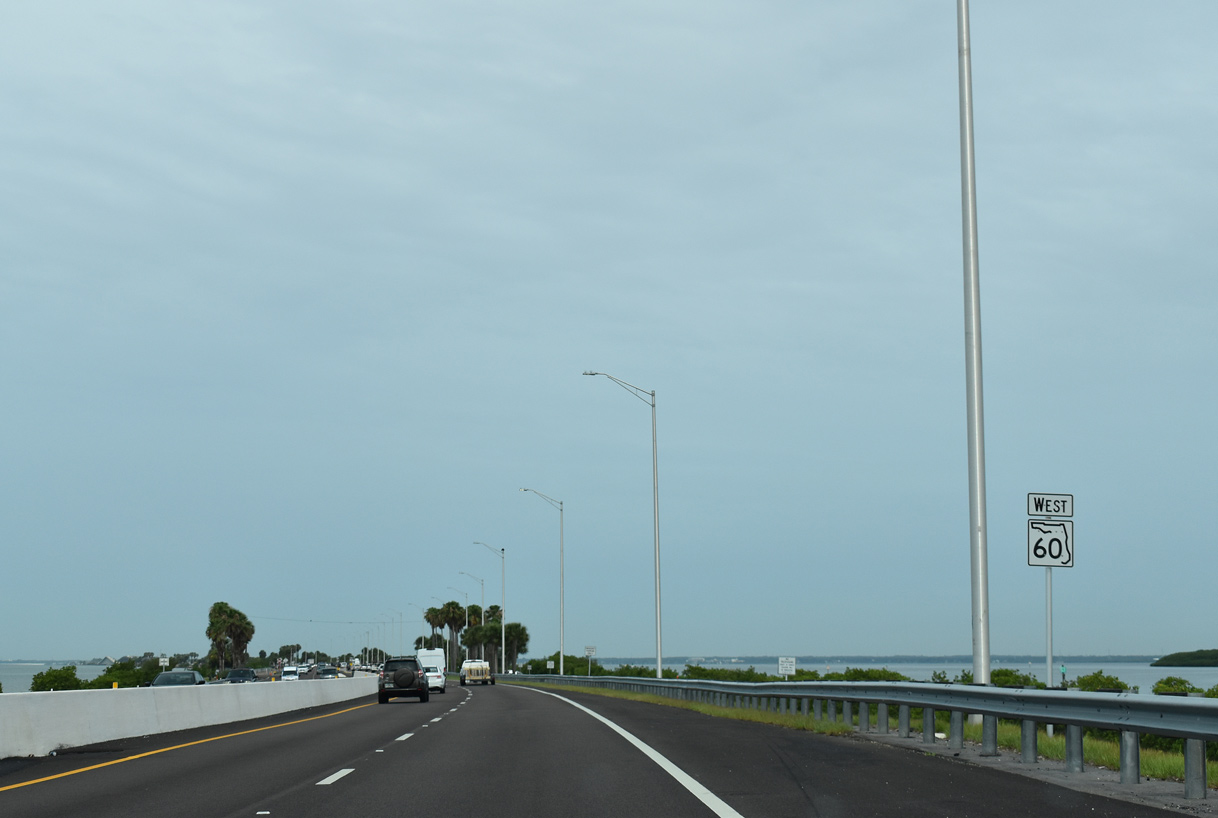
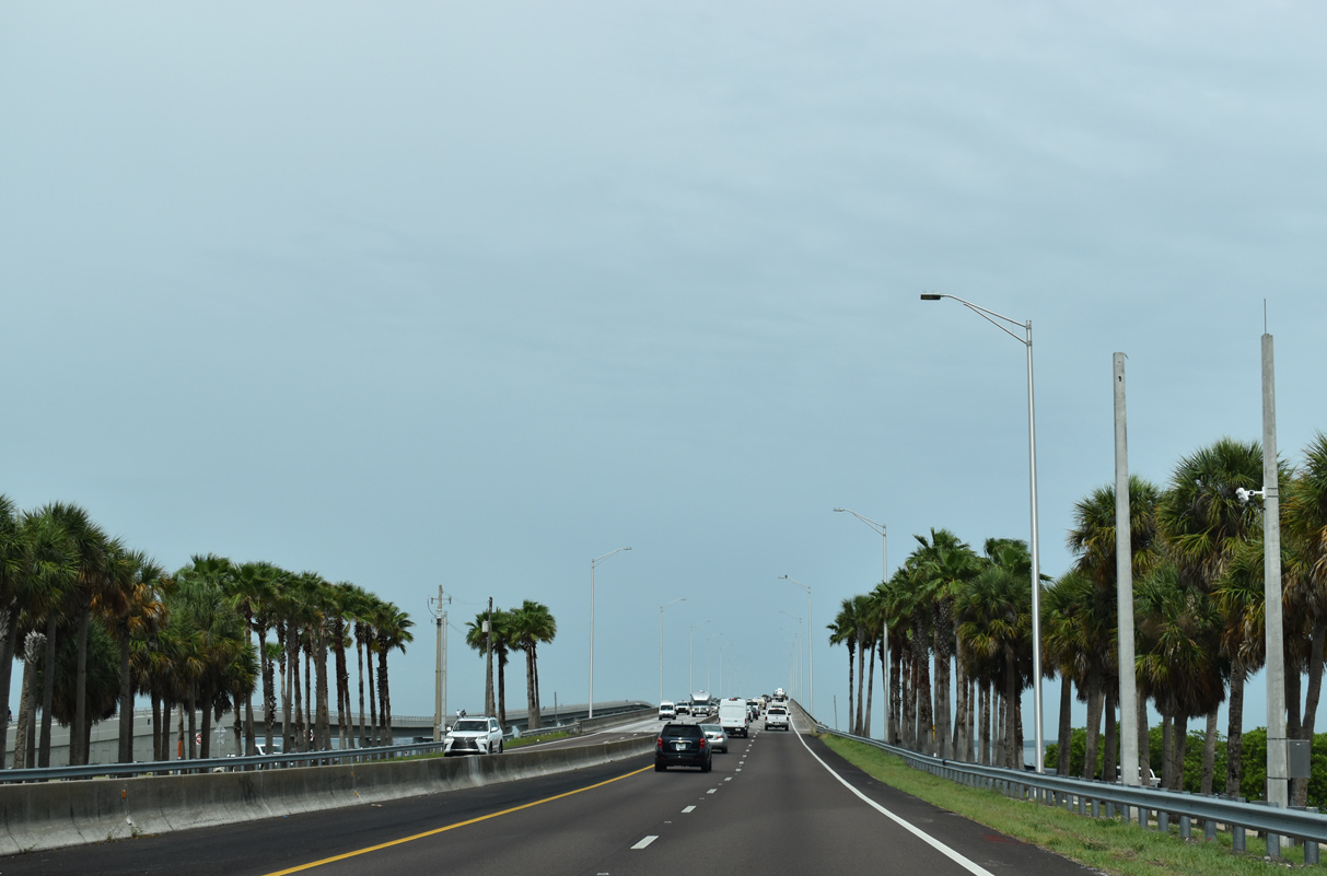
| Shallow waters and marshland spread to the north of SR 60 along Ben T. Davis Municipal Beach. A reassurance marker stands beyond the inlet bridge west of Rocky Point. The speed limit is 60 miles per hour along the four lane causeway. 06/05/20 |
|
| Continuing west from the second access point to Ben T. Davis Beach. 11/15/16 |
|
| A second traffic light for Ben T. Davis Beach operates at the third beach access point from SR 60 opposite a boat ramp. 06/05/20 |
|
| SR 60 ascends over the main navigation channel of Old Tampa Bay. Paralleling the span to the south is a 45 foot tall bicycle/pedestrian bridge built as part of Courtney Campbell Causeway Trail.2 11/15/16 |
|
| Courtney Campbell Causeway Trail stretches west from the Veterans Expressway into Clearwater, where it ties into the Pinellas Trail. Costing $23 million, the multi-use path was completed on June 22, 2015.2 06/05/20 |
|
| The narrow span across Old Tampa Bay was built in 1974 and reconstructed in 1993. 08/05/14, 06/05/20 |
|
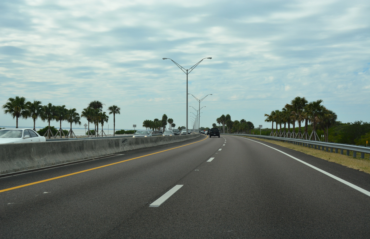
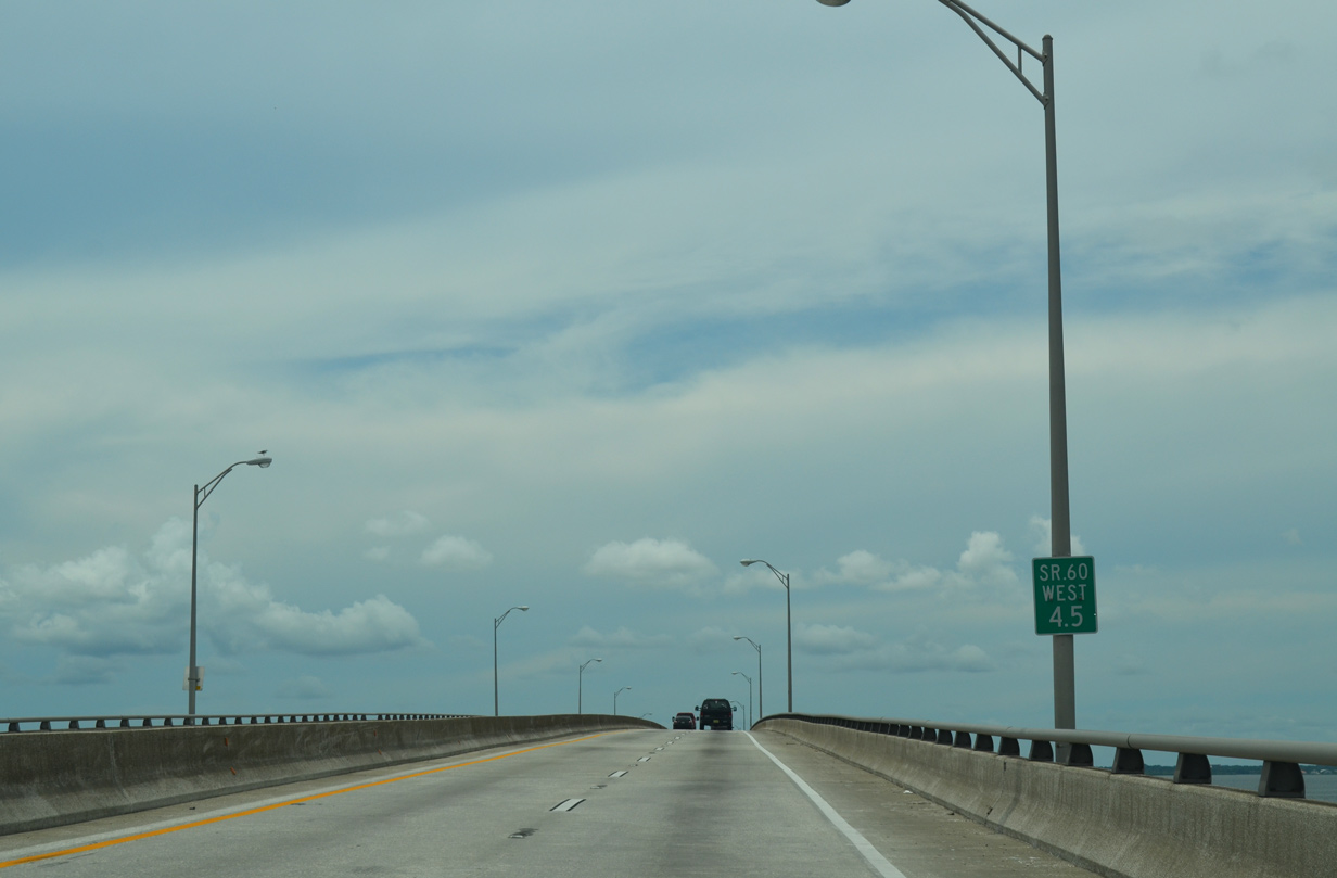
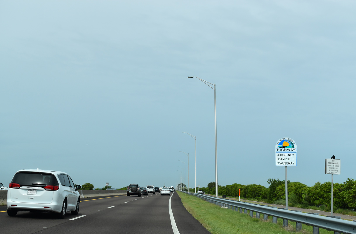
| All 9.5 miles of Courtney Campbell Causeway double as a Florida Scenic Highway. The designation was approved for the roadway in 2005. 06/05/20 |
|
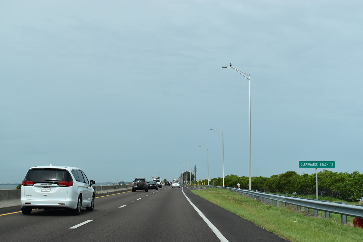
| A distance sign for Clearwater Beach precedes the turn off for the north side frontage road. 06/05/20 |
|
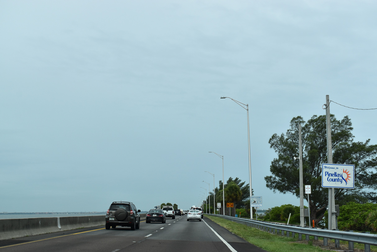
| SR 60 enters Pinellas County approximately two thirds of the way across Courtney Campbell Causeway. 06/05/20 |
|
| Continuing west from the Hillsborough County line, SR 60 enters the city of Clearwater and approaches the west shore of Old Tampa Bay. A narrow north side frontage road remains in place to the last inlet. 11/15/16 |
|
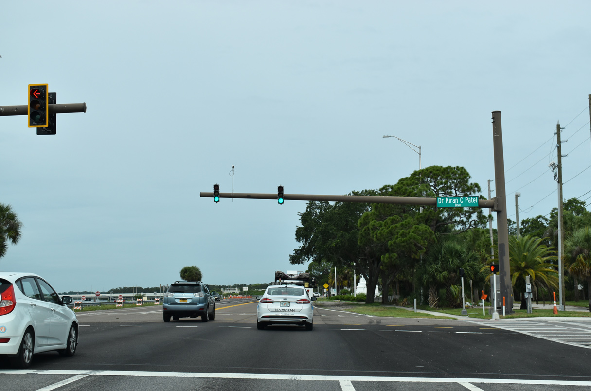
| Formerly Damascus Road, Dr. Kiran C. Patel Boulevard spurs northeast from SR 60 to the Tampa Bay Regional Campus of Nova Southeastern University at the Courtney Campbell Causeway west end. 06/05/20 |
|
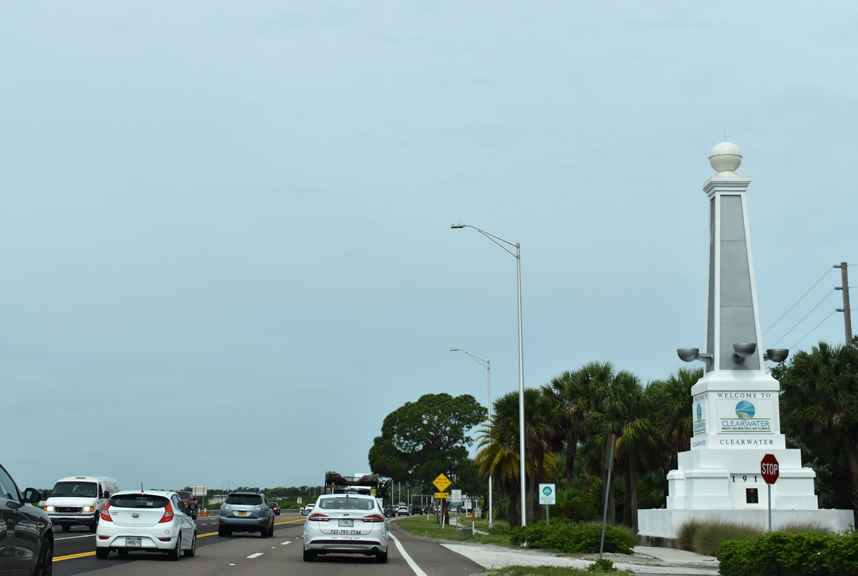
| SR 60 transitions to Gulf to Bay Boulevard into Clearwater beyond Dr. Kiran C. Patel Boulevard and the final beach access point. 06/05/20 |
|
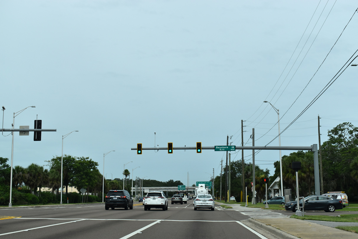
| Bayshore Boulevard ties into SR 60 (Gulf to Bay Boulevard) from the Cooper Bayou area and Safety Harbor to the north. 06/05/20 |
|
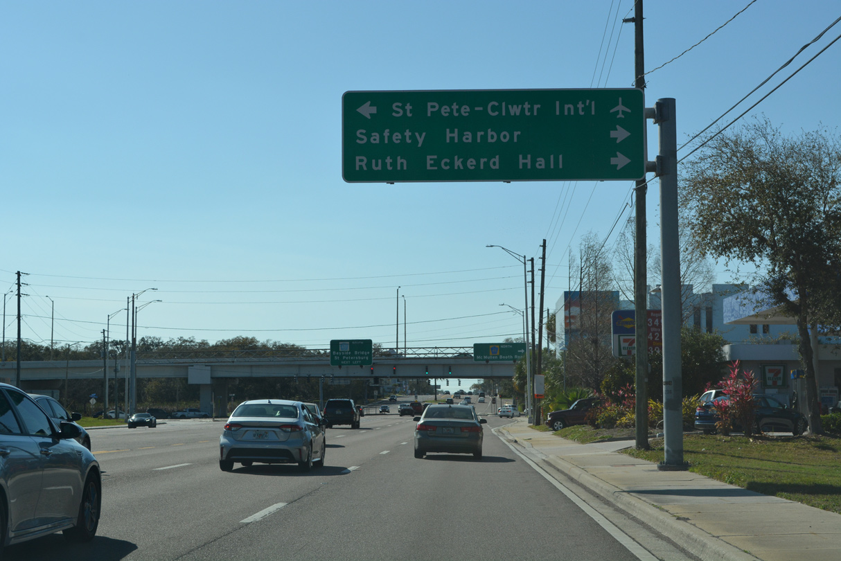
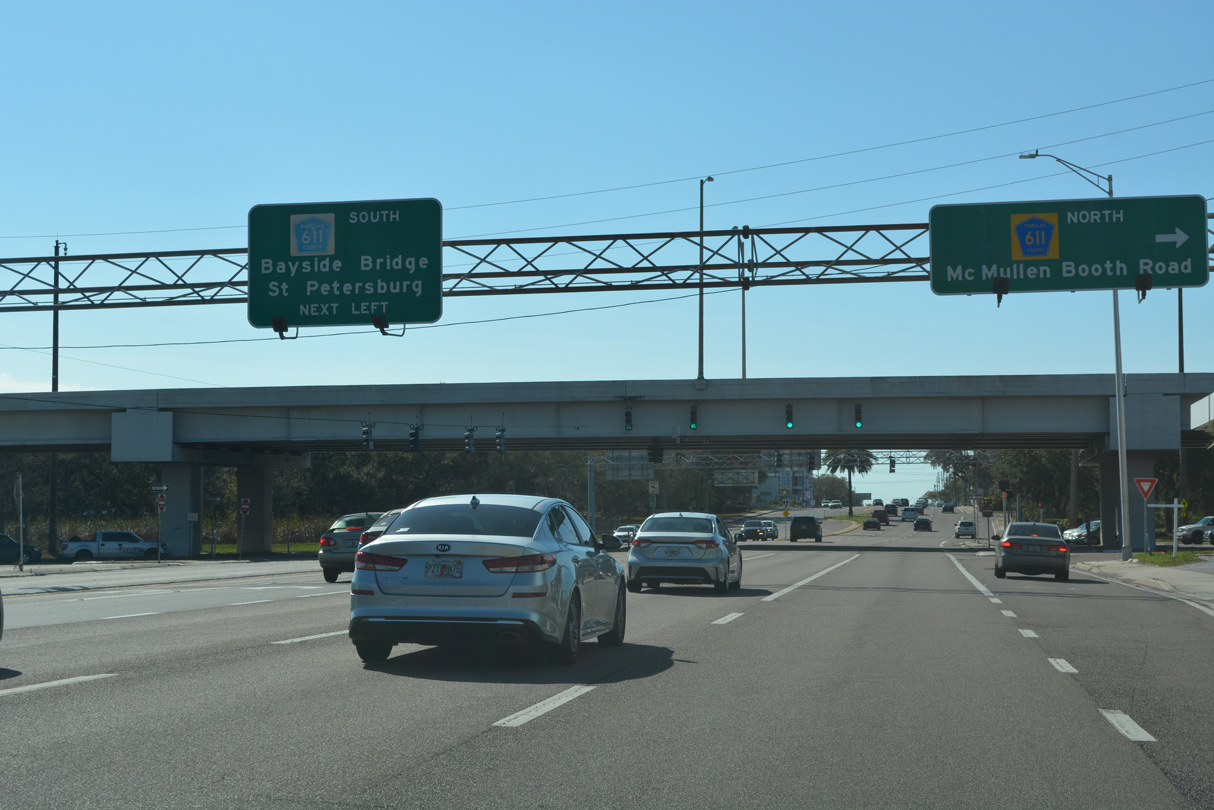
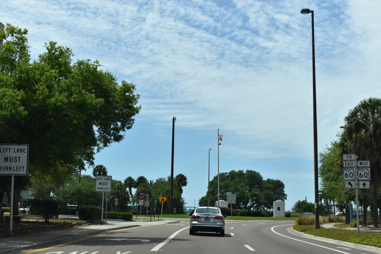
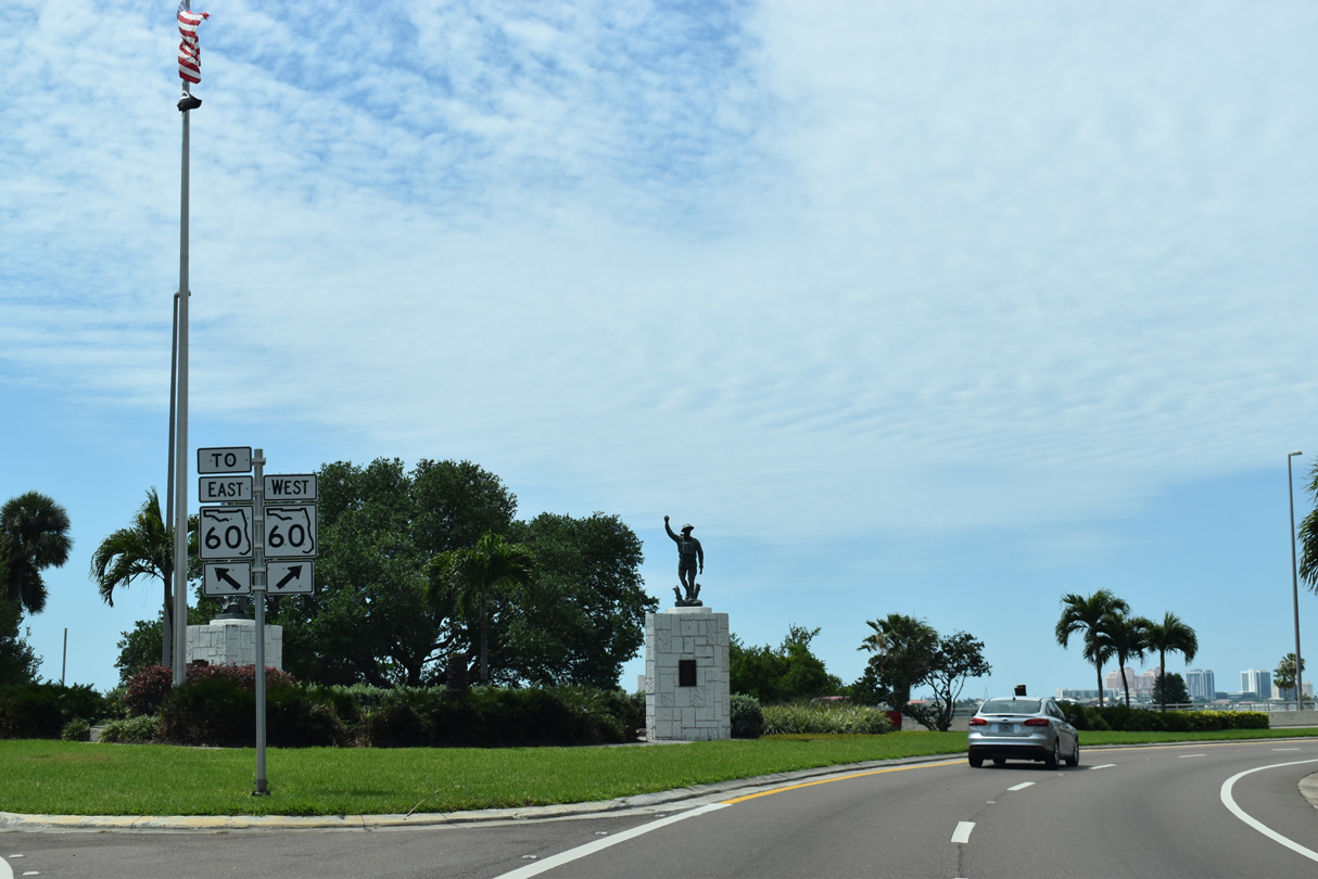
| SR 60 meets CR 611 at a single point urban interchange (SPUI). CR 611 follows McMullen-Booth Road north to Ruth Eckerd Hall, Clearwater's performing arts center, and south along the Bayside Bridge to Clearwater-St. Petersburg International Airport (PIE). 02/27/22 |
|
| CR 611 passes over SR 60 at the north end of the Bayside Bridge crossing Old Tampa Bay. CR 611 transitions into McMullen-Booth Road, a six lane arterial leading north to Safety Harbor and north Clearwater. 02/27/22 |
|
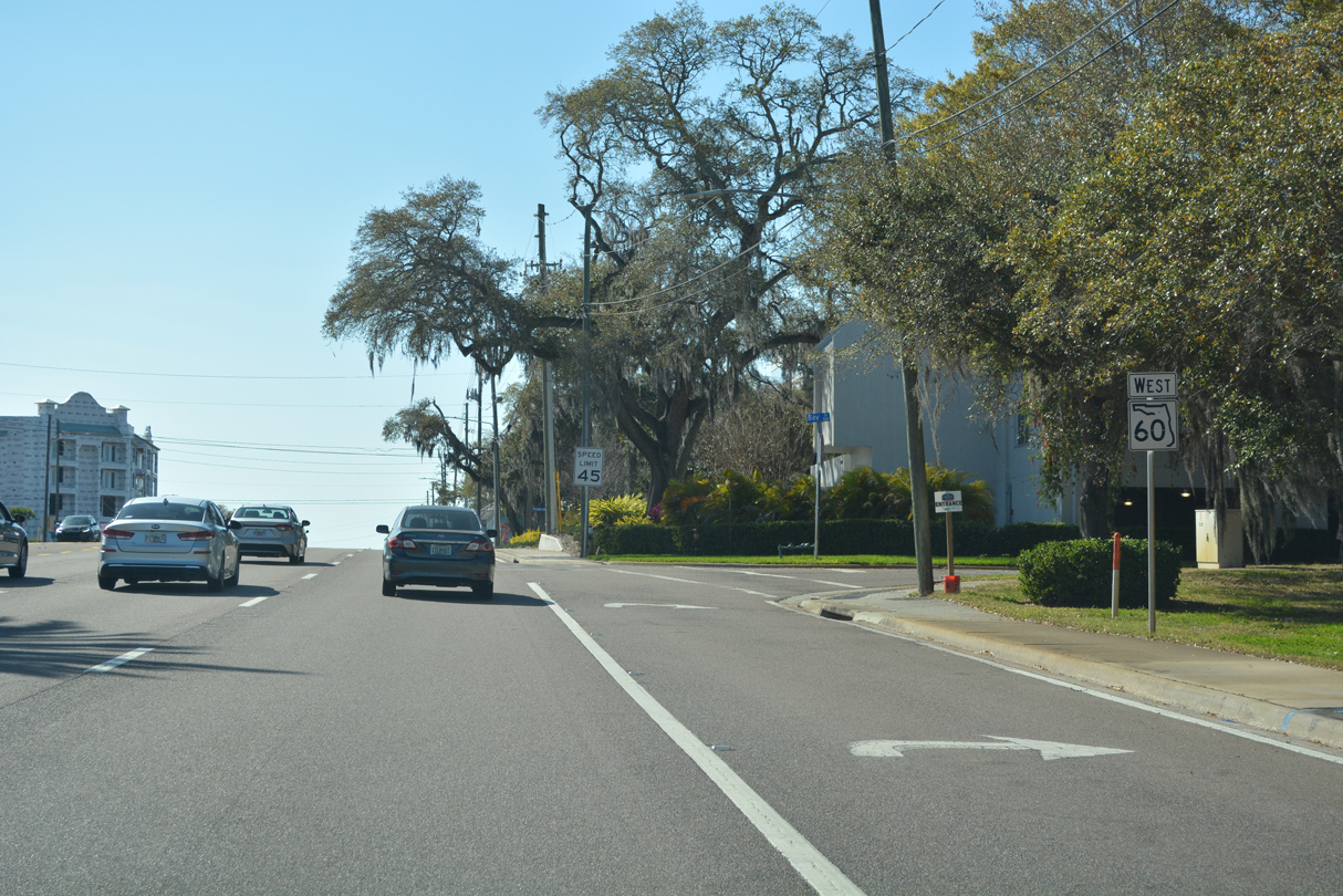
| SR 60 continues west by Bayview Park along Gulf to Bay Boulevard. 02/27/22 |
|
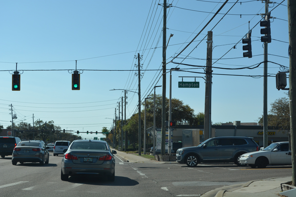
| Hampton Road stems north from SR 60 to parallel Drew Street. 02/27/22 |
|
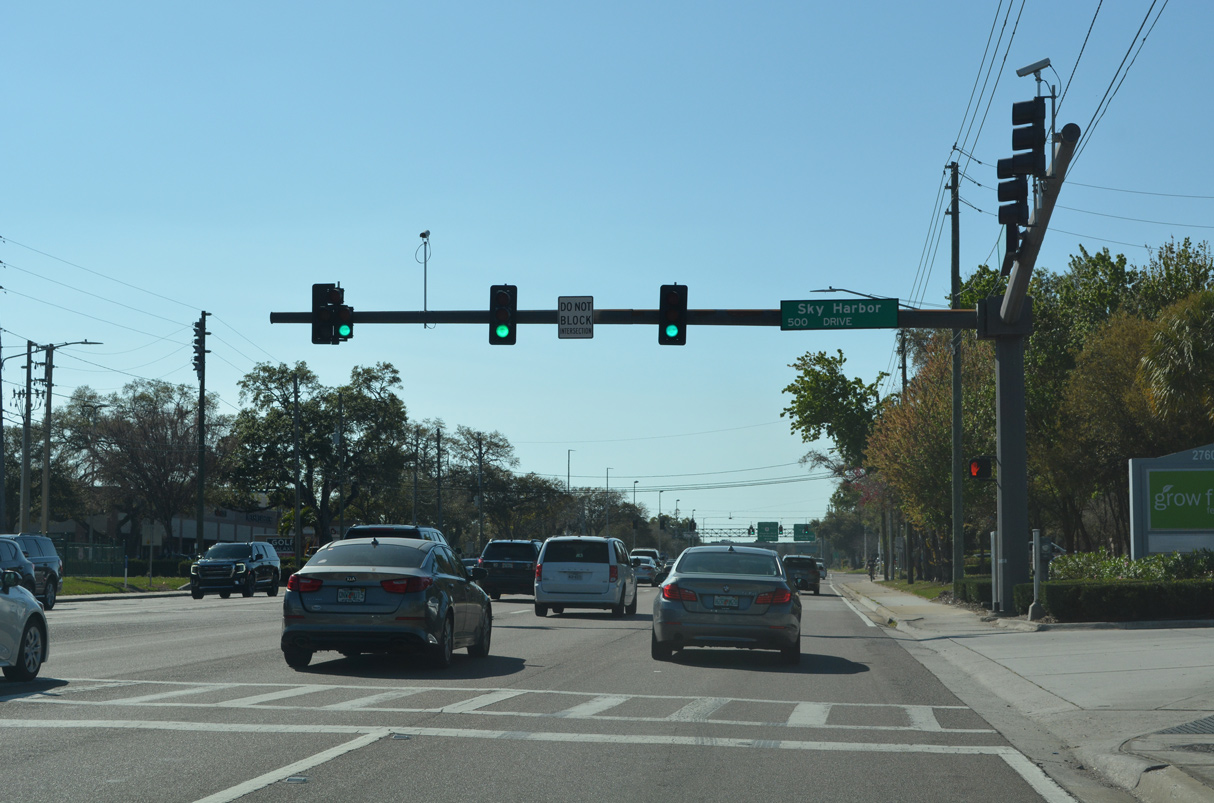
| Sky Harbor Drive links Gulf to Bay boulevard with the backside of Clearwater Mall shopping center, Clearwater Fire Station #49, and the Sky Harbor Estates manufactured home community. 02/27/22 |
|
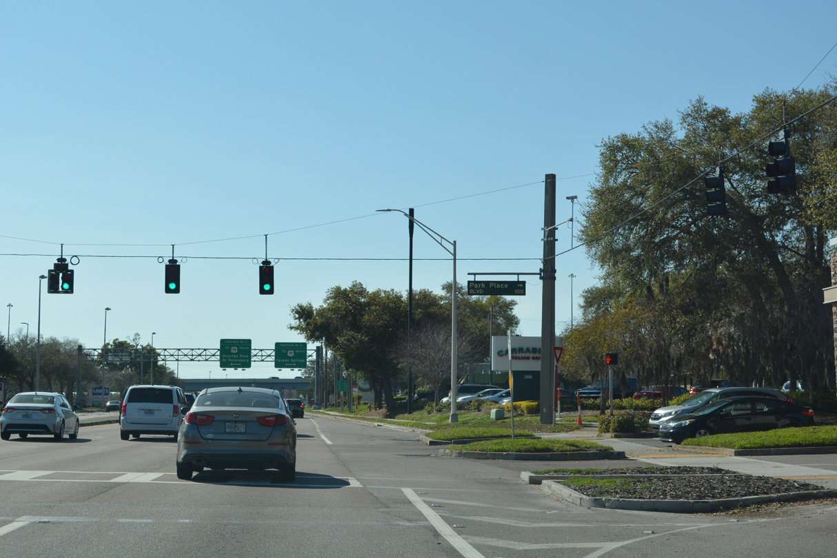
| Park Place Boulevard weaves south from Drew Street between a pair of apartment complexes to an office park and SR 60 across from Clearwater Mall. 02/27/22 |
|
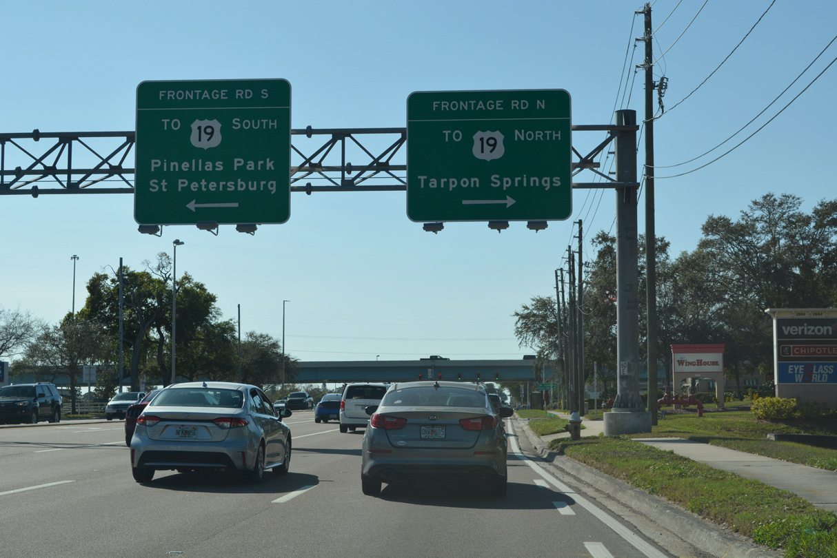
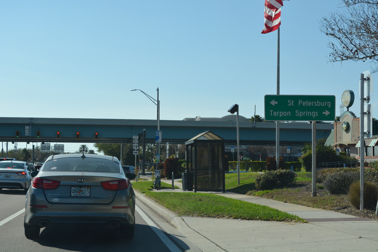
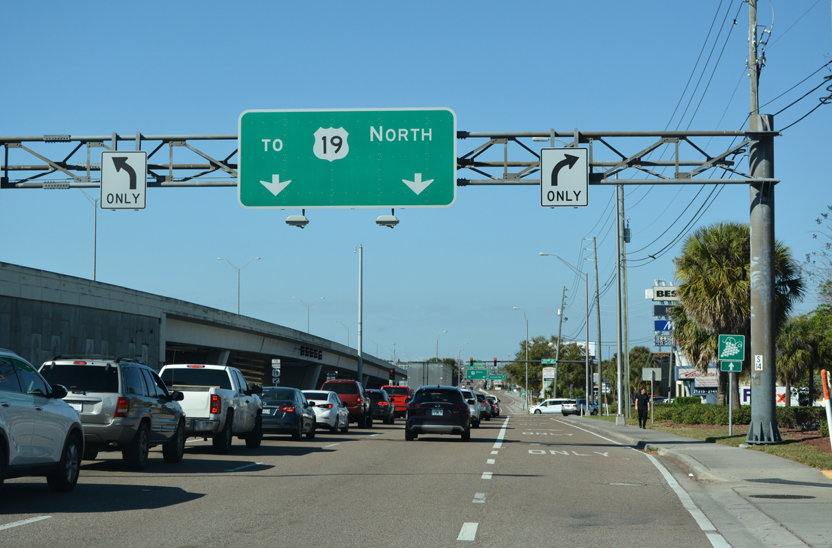
| SR 60 converges with the freeway along U.S. 19 adjacent to Clearwater Mall. 02/27/22 |
|
| The freeway along U.S. 19 heads south to Pinellas Park and St. Petersburg and north through Clearwater to Safety Harbor. 02/27/22 |
|
| 2011 to 2015 construction rebuilt U.S. 19 across SR 60 and added turn lanes to the adjacent service roads. 02/27/22 |
|
| Frontage roads alongside U.S. 19 connect SR 60 (Gulf to Bay Boulevard) with entrance ramps to the elevated freeway. The ramp for U.S. 19 north follows Drew Street (CR 528). 02/27/22 |
|
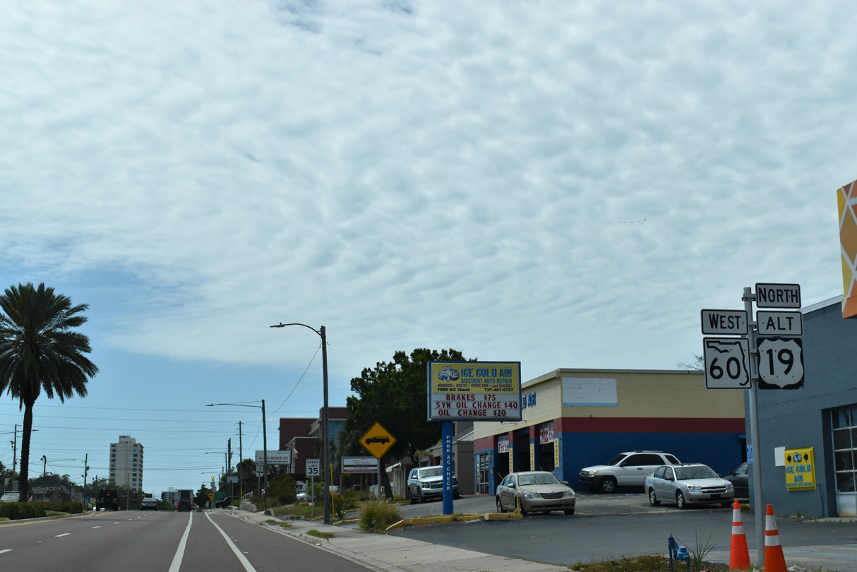
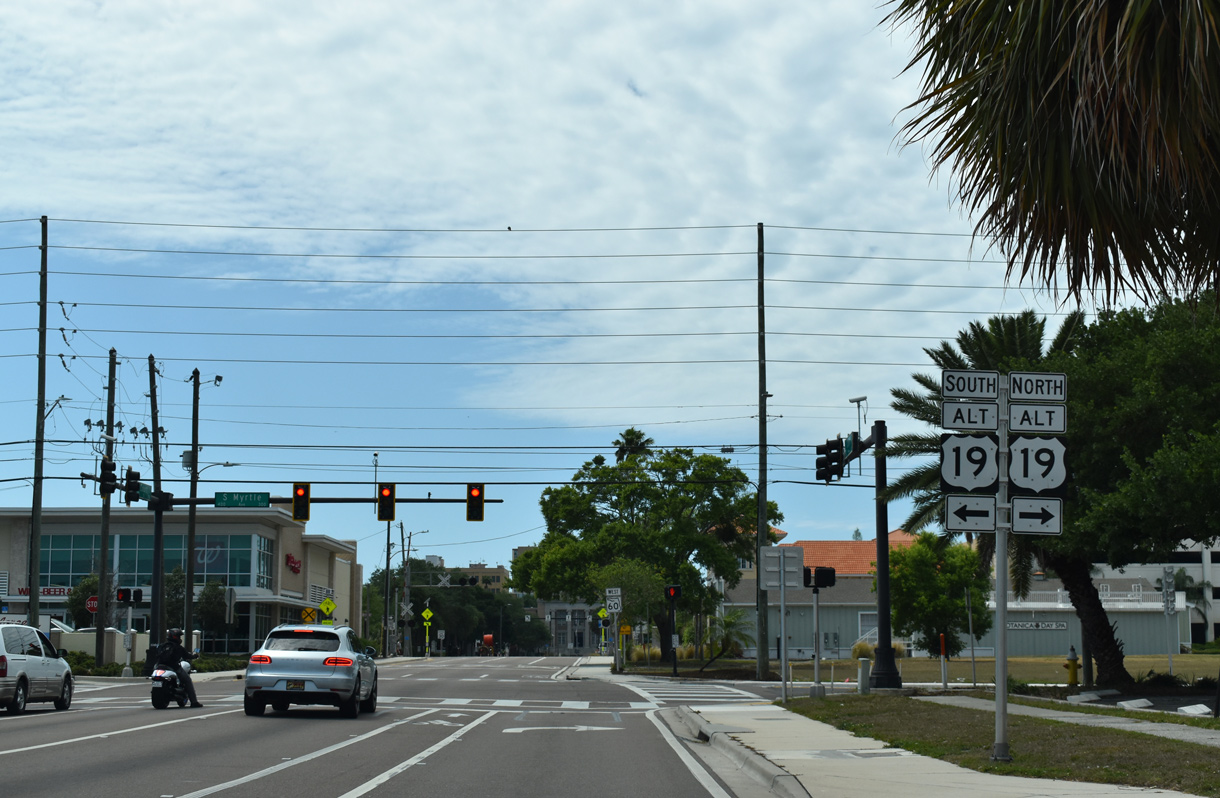
| U.S. 19 Alternate overlaps with SR 60 west for 0.53 miles from Missouri Avenue south to Myrtle Avenue north. 04/03/20 |
|
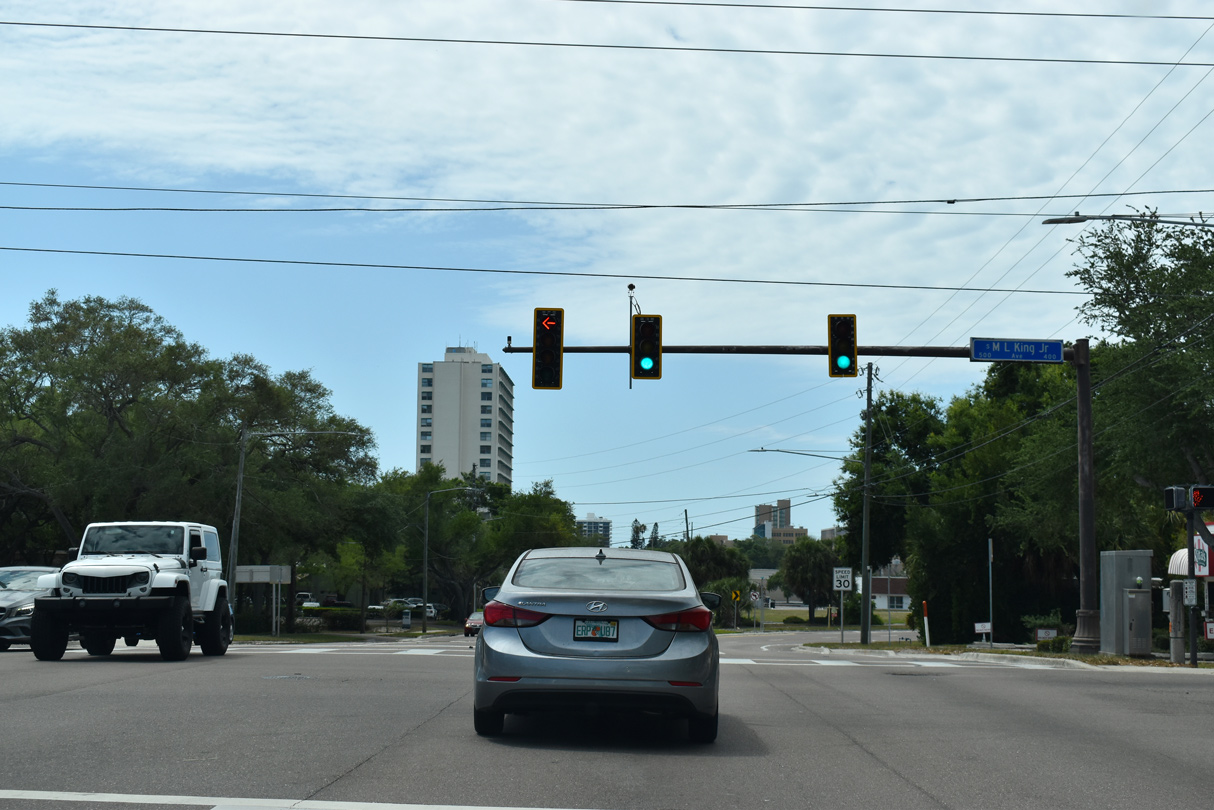
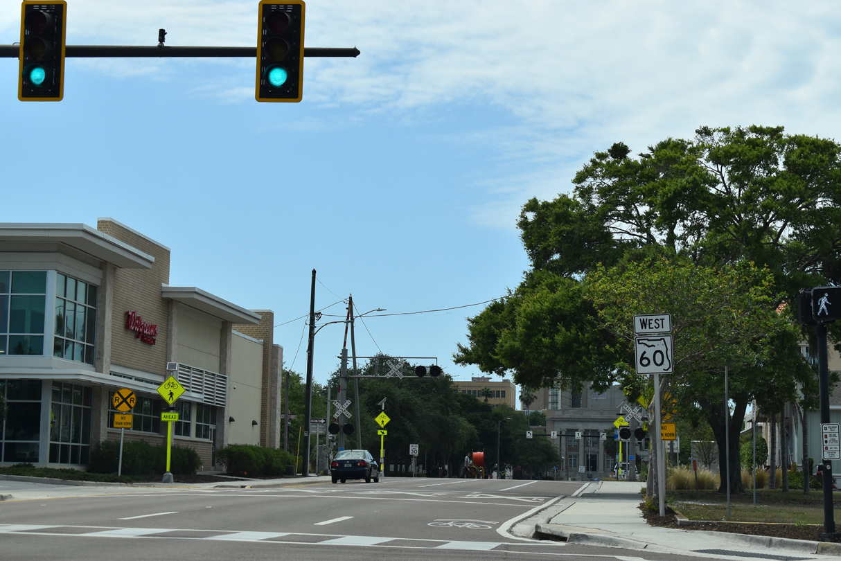
| Advancing west toward Downtown Clearwater, U.S. 19 ALT/SR 60 (Court Street) intersect Martin Luther King, Jr. Drive. 04/03/20 |
|
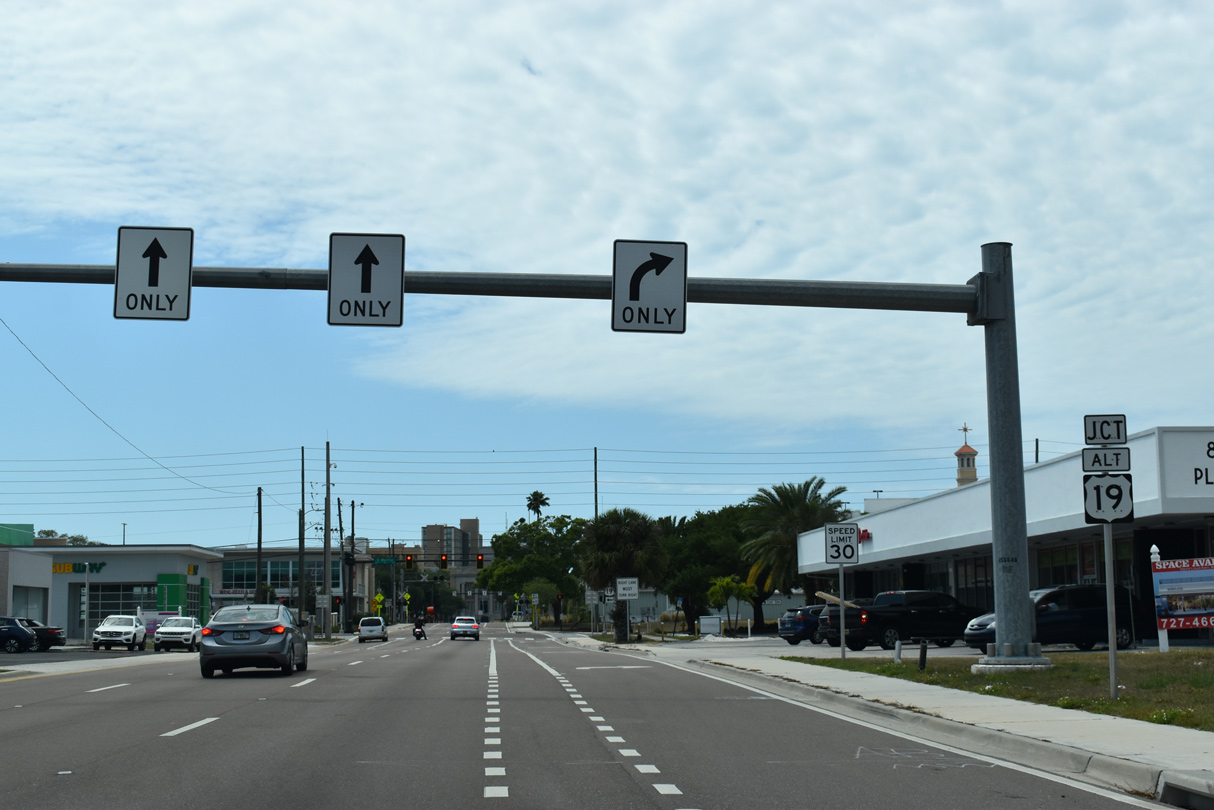
| U.S. 19 ALT/SR 60 partition into a one way couplet along Court Street west and Chestnut Street east ahead of Prospect Avenue and their split at Myrtle Avenue. 04/03/20 |
|
| U.S. 19 Alternate follows Myrtle Avenue north to Fort Harrison Avenue en route to Dunedin, Ozona and Palm Harbor. 04/03/20 |
|
| Prior to 2007, U.S. 19 Alternate followed Fort Harrison Avenue through Downtown Clearwater, intersecting SR 60 (Court Street) at the ensuing traffic light. 04/03/20 |
|
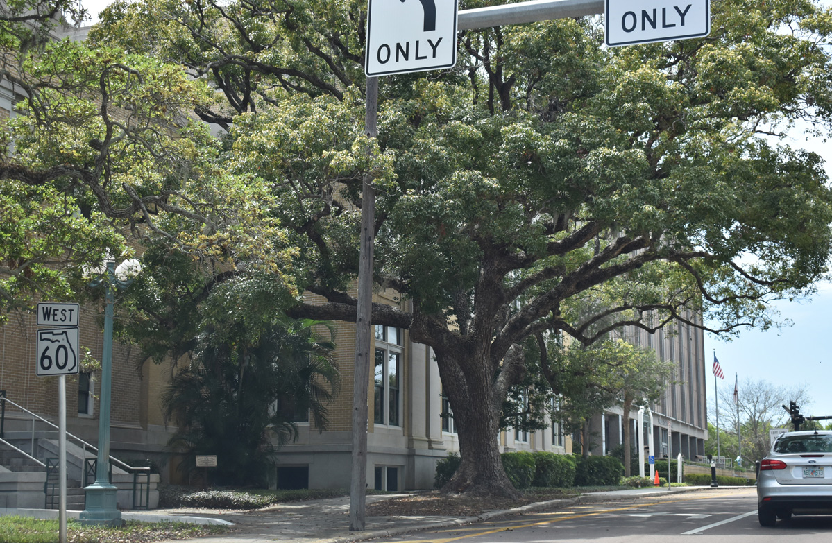
| SR 60 (Court Street) passes between the Pinellas County Courthouse and the Pinellas County Government Building west of Ft. Harrison Avenue (old U.S. 19 ALT). 04/03/20 |
|
| Oak Avenue ties into SR 60 (Court Street) across from the Pinellas County Parking Garage. 04/03/20 |
|
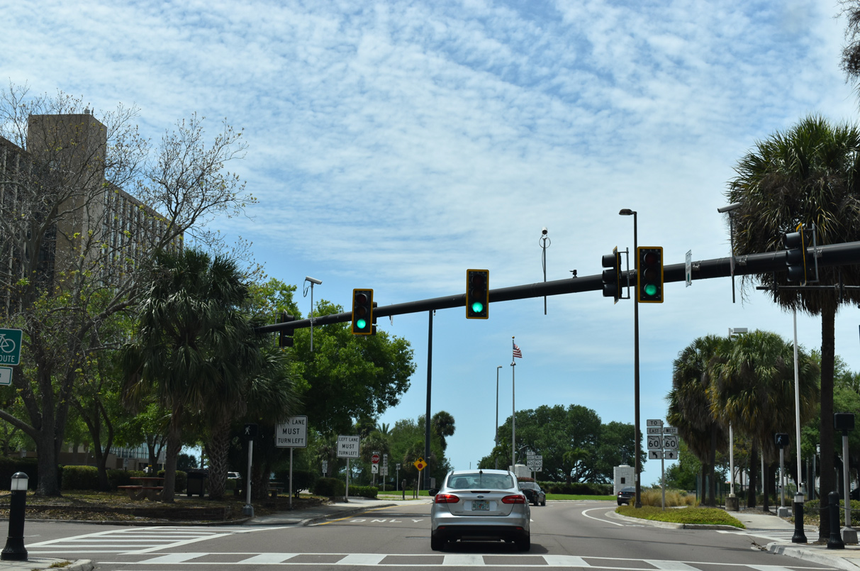
| A U-turn provides return access to Downtown Clearview along SR 60 east along Chestnut Street at the beginning of Clearwater Memorial Causeway. 04/03/20 |
|
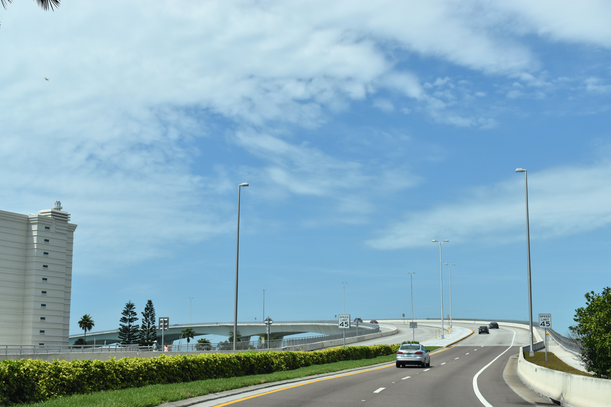
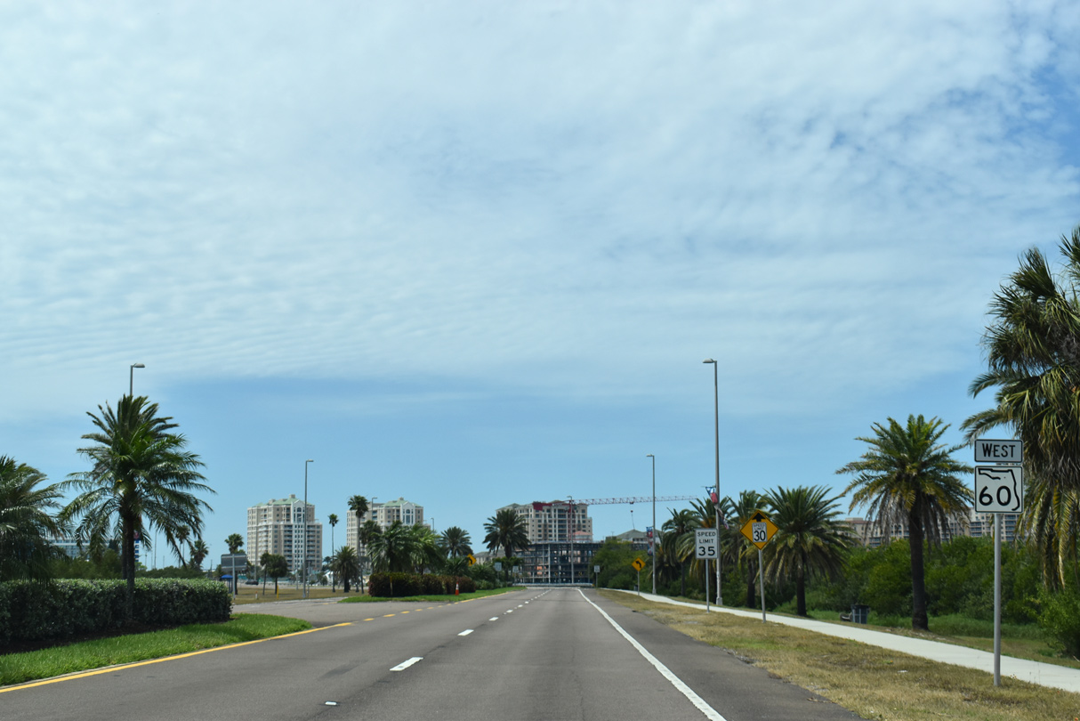
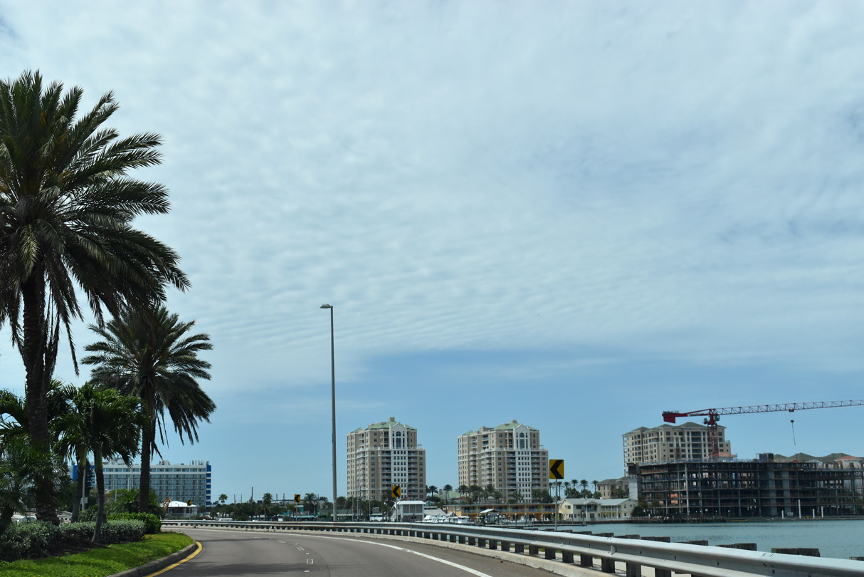
| SR 60 makes an S-curve northward onto the Memorial Causeway Bridge across the Intracoastal Waterway. 04/03/20 |
|
| The Memorial Causeway Bridge rises to a height of 72 feet above Clearwater Harbor.3 Constructed between December 2002 and August 2005, the high rise span replaced a low level draw bridge.4 04/03/20 |
|
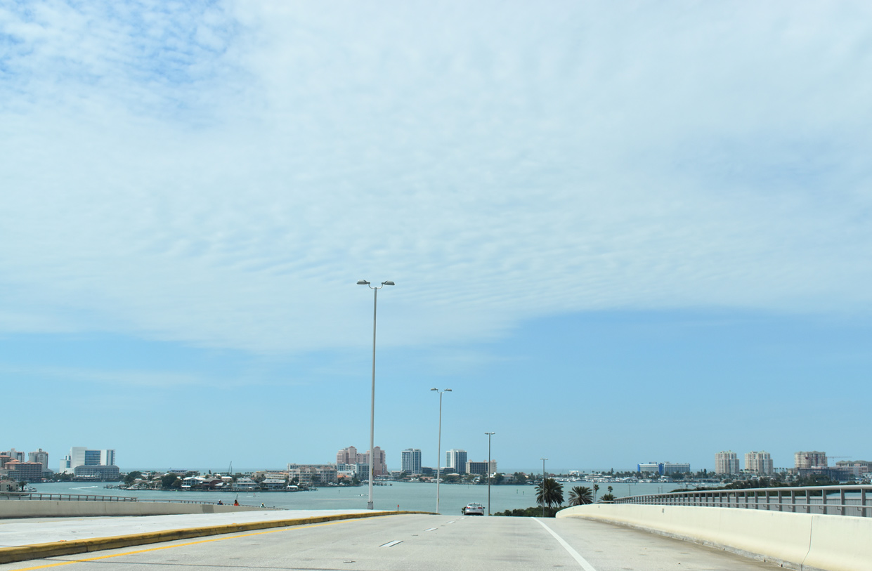
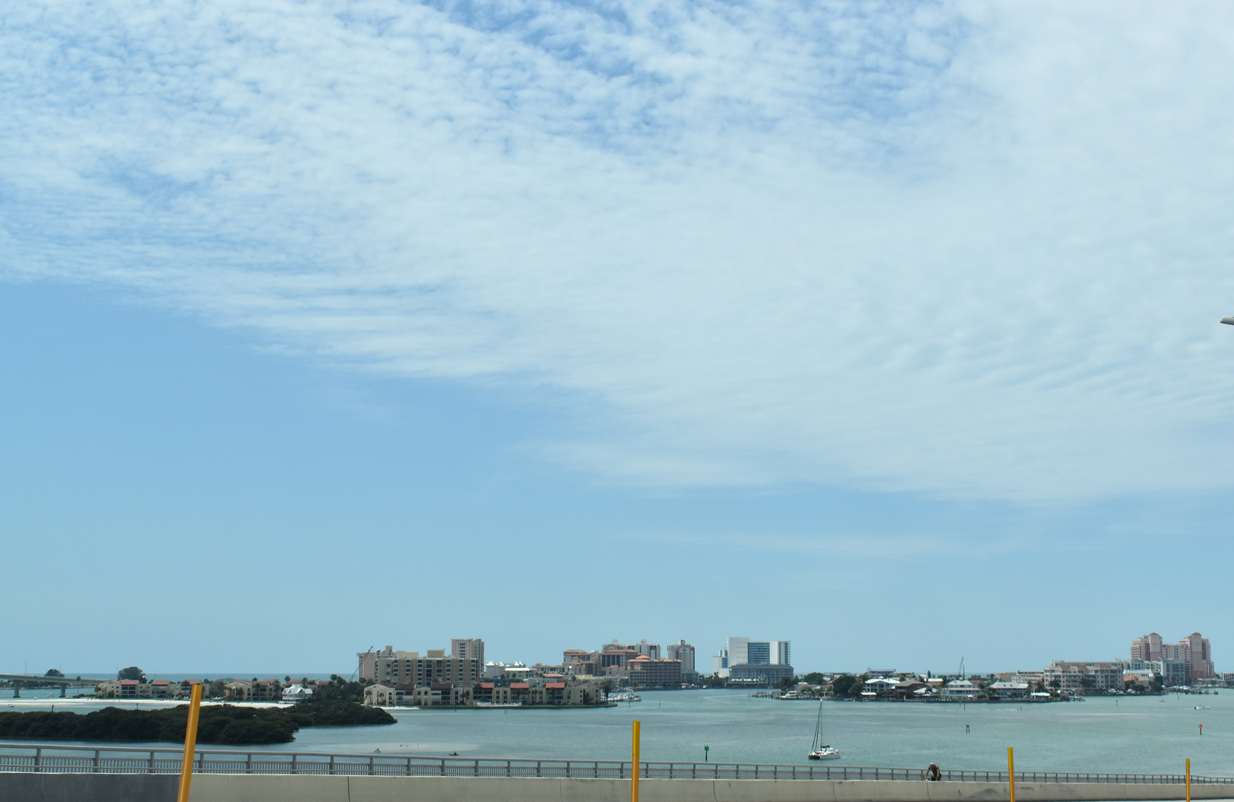
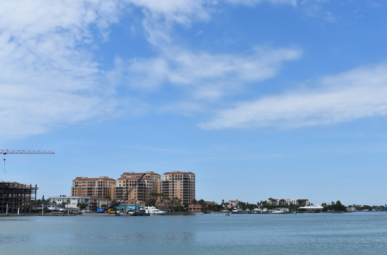
| The south end of Clearwater Beach comes into view from the Memorial Causeway Bridge westbound. 04/03/20 |
|
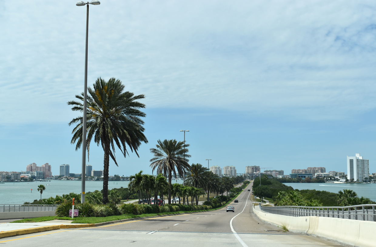
| SR 60 lowers onto Clearwater Memorial Causeway across Clearwater Harbor. Multi use trails line both sides of the four lane parkway. 04/03/20 |
|
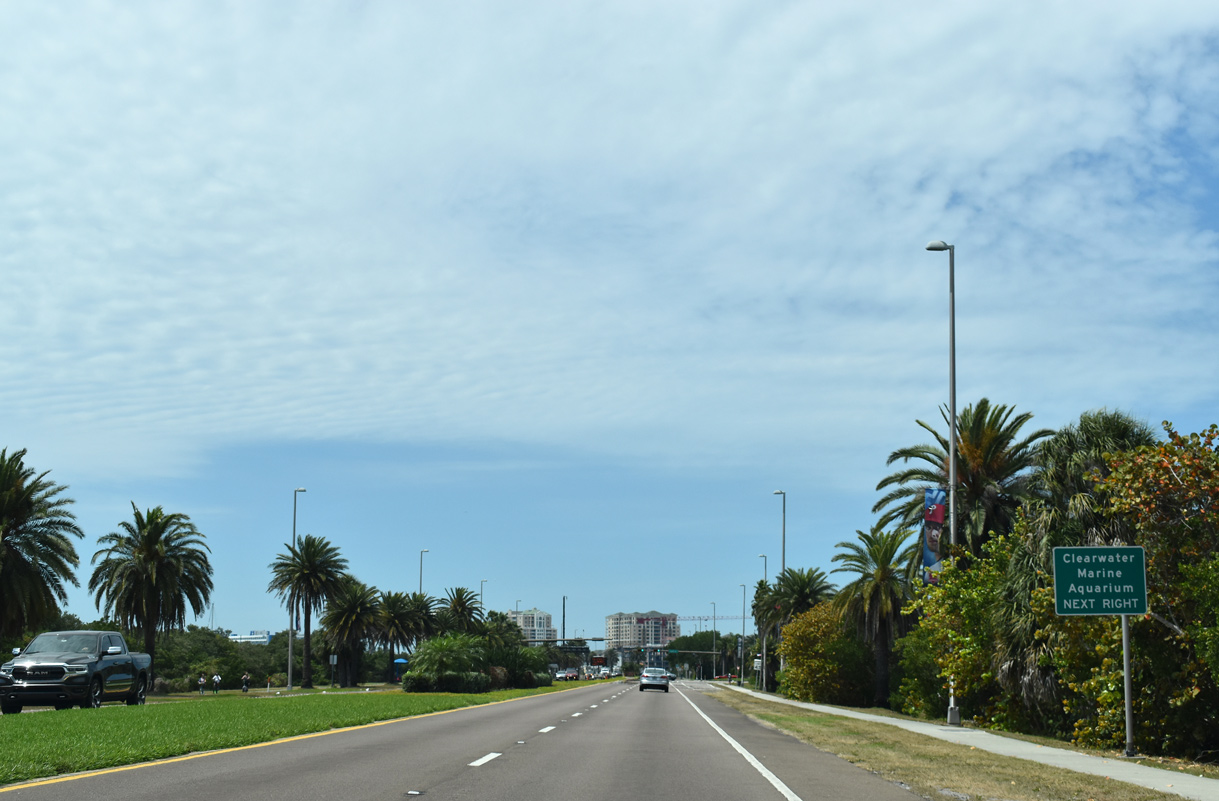
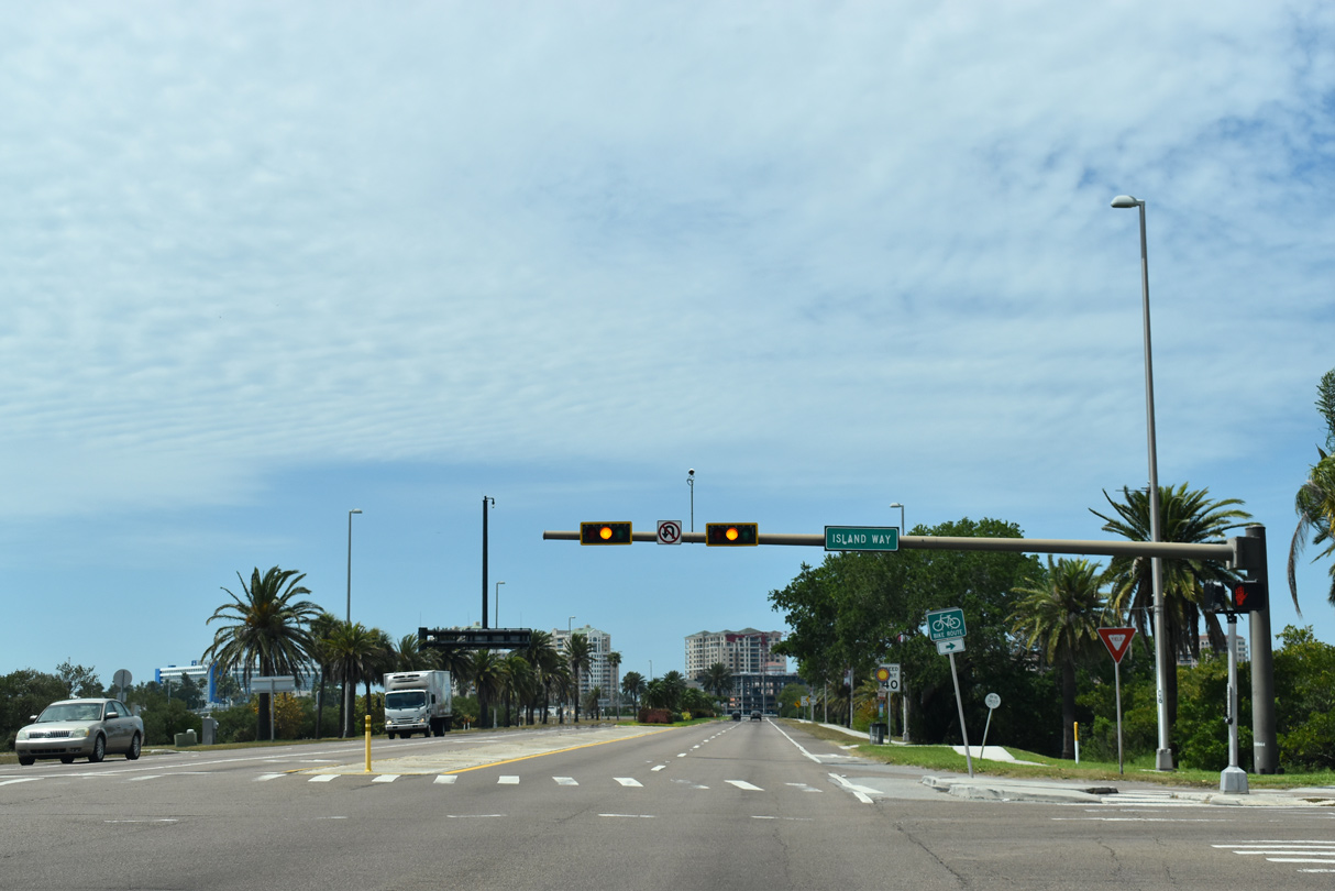
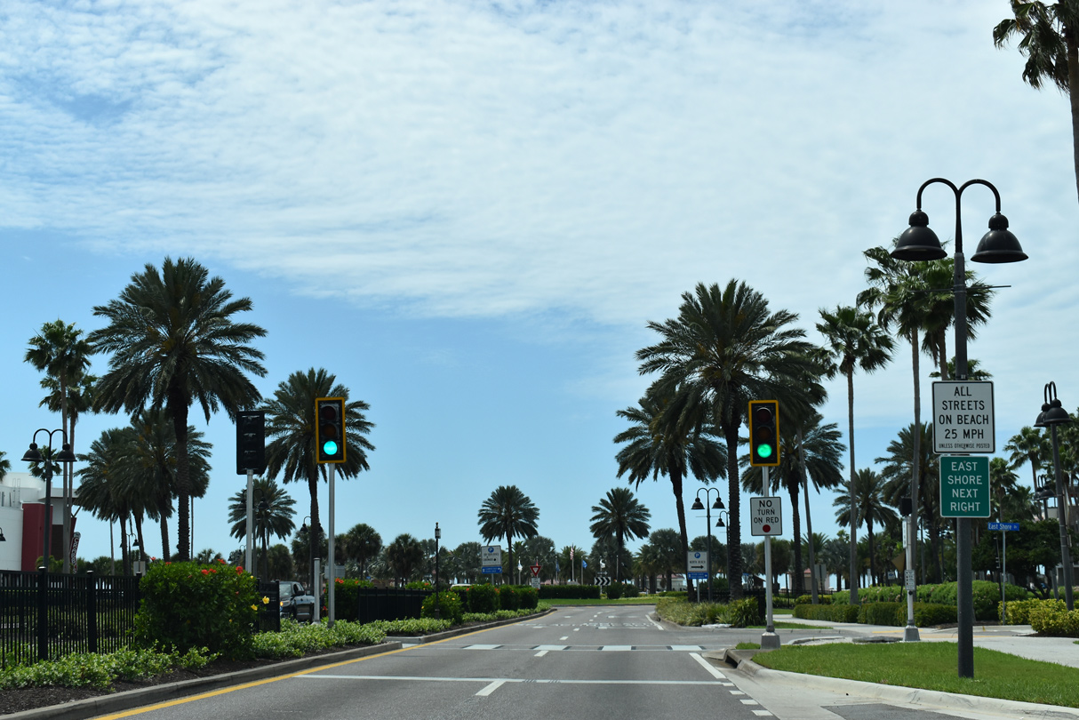
| Island Way stems north from Clearwater Memorial Causeway to the Island Estates community and Clearwater Marine Aquarium. 04/03/20 |
|
| The final reassurance marker for SR 60 stands beyond Island Way. 04/03/20 |
|
| High rise condominiums line the Gulf of Mexico along Clearwater Beach. 04/03/20 |
|
| SR 60 crosses Mandalay Channel west from Clearwater Memorial Causeway. 04/03/20 |
|
| State Road 60 concludes westbound at the bridge spanning Mandalay Channel into Clearwater Beach. 04/03/20 |
|
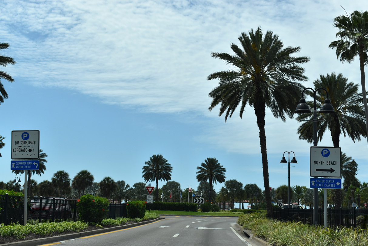
| Causeway Boulevard extends a short distance west from the end of SR 60 to a roundabout with Poinsettia Avenue north, Mandalay Avenue north and Coronado Drive south. 04/03/20 |
|
| Mandalay Avenue heads to the north end of Clearwater Beach Island. Coronado Drive connects Causeway Boulevard with Sand Key and Bellair Beach to the south via Gulf Boulevard (CR 245). 04/03/20 |
Page Updated 02-28-2022.

 West
West