Tennessee State Route 71 extends James White Parkway southeast from SR 158 across the Tennessee River to Moody Avenue. Originally named South Knox Boulevard and first developed in 1977,5 the SR 71 freeway utilizes the 1983-completed South Knoxville Bridge.1 Plans for the bridge go back to 1964 with a connection to Interstate 40 at Cherry Street planned, but later moved west to the current junction.2
South Knoxville bridge was locally used until the connection with SR 158 was completed. Work in 1989 widened Moody Avenue from U.S. 441 (Chapman Highway) to Woodlawn Pike in an effort to move more traffic to the bridge from the Henley and Gay Street Bridges to the west.1 A 1.1 mile stretch of expressway between Moody Avenue and the span was completed in 1993.2
Work on the extension southward to Chapman Highway near Dick Ford Lane and Little Switzerland Road was shelved in 2003. The $44 million extension was to include interchanges with Red Bud Drive and Island Home Pike. New studies on the extension in 2004 and 2005 recommended a reroute of the parkway to Gov. John Sevier Highway, elimination of the proposed Red Bud Road interchange, and the start of a new Environmental Impact Statement (EIS) for the new proposed alignment.4
Work on an new Environmental Impact Statement (EIS) underway in 2011 focused on four potential routes to extend James White Parkway south of its current stub end at Moody Avenue. Pending EIS approval, funding for any construction was not forecast until 2017 or 2019.3
State officials held a meeting on the proposed five mile extension on December 6, 2012, where 1,108 comments received were split between 39 percent in favor and 55 percent opposed. A new route was devised by TDOT and announced on August 19, 2013. It addressed impact concerns about the course though the 1,000-acre Urban Wilderness area in South Knoxville.7 Knoxville Mayor Madeline Rogero opposed the extension and instead favored improvements to U.S. 441 (Chapman Highway). Nonetheless the state was poised to approve a $104 million project in August 2013 citing the need to alleviate congestion along Chapman Highway between Downtown Knoxville and Seymour.5
Subsequent actions included a motion made by Mayor Rogero on August 28, 2013 to remove funding for the extension from the Knoxville Regional Transportation Planning Organization's Transportation Improvement Program (TIP). The motion passed unanimously, leading to the withdraw of the Parkway from the four-year transportation plan. With the removal of the project from the TIP, TDOT followed suit and ceased efforts on the road. Had the project remained within the TPO, the Federal Highway Administration was projected to cover 80 percent of the costs.6,7
Further killing the James White Parkway extension was a 10-3 vote to keep the project off the Knoxville Regional Transportation Planning Organization long-range plan on October 16, 2013. Votes in favor of the project included Sevier County Mayor Larry Waters and Knox County Mayor Tim Burchett, who advocated the route to provide quicker and safer access between Sevier County and Interstate 40.7
|
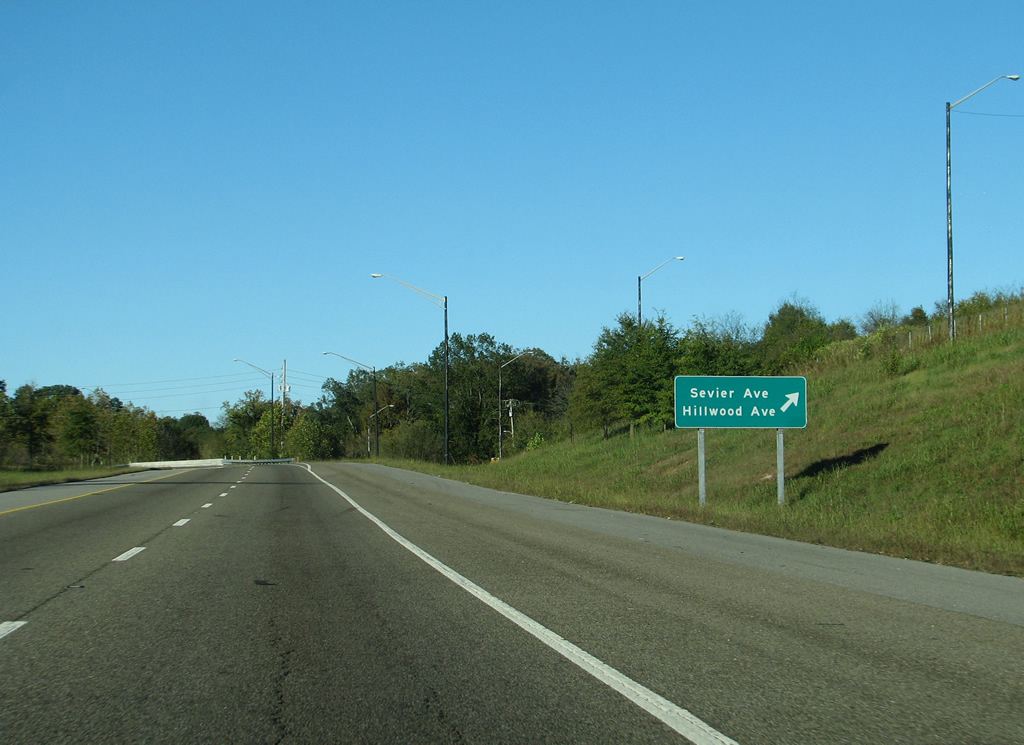
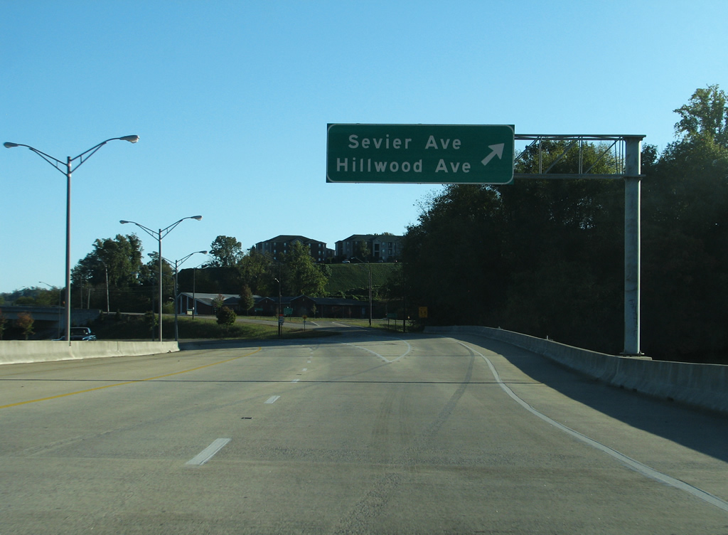
| Sevier Avenue travels north from Sevierville Pike to pass under SR 71 ahead of the diamond interchange with Anita Drive. Anita Drive connects James White Parkway with Hillwood Avenue and Island Home to the east and Sevier Avenue west to the Gay Street bridge and Blount Avenue. 10/15/11 |
|
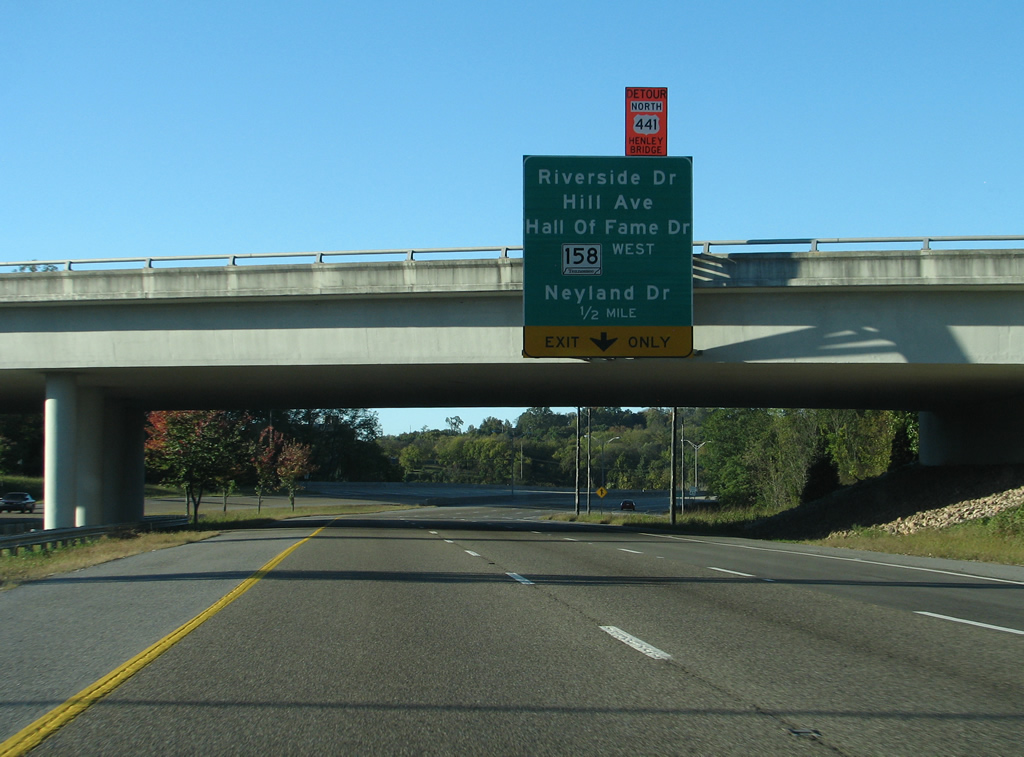
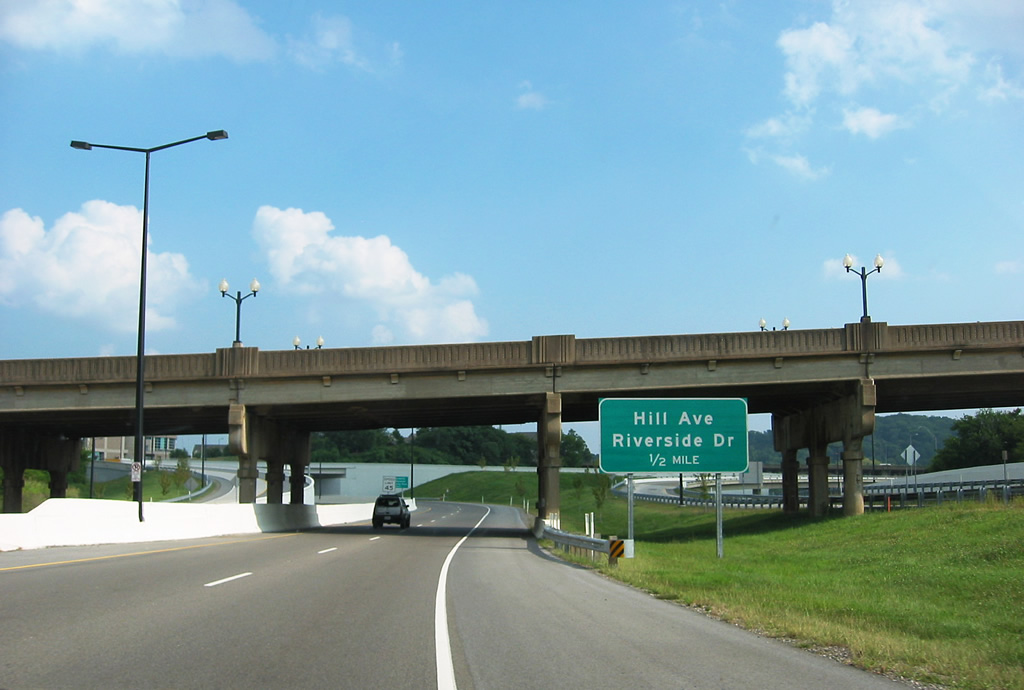
| SR 71 (James White Parkway) spans the Tennessee River ahead of a diamond interchange with Riverside Drive and Historic Preservation Drive west to Hill Avenue, Hall of Fame Drive and SR 158 (Neyland Drive) west to downtown Knoxville. 10/15/11 |
|
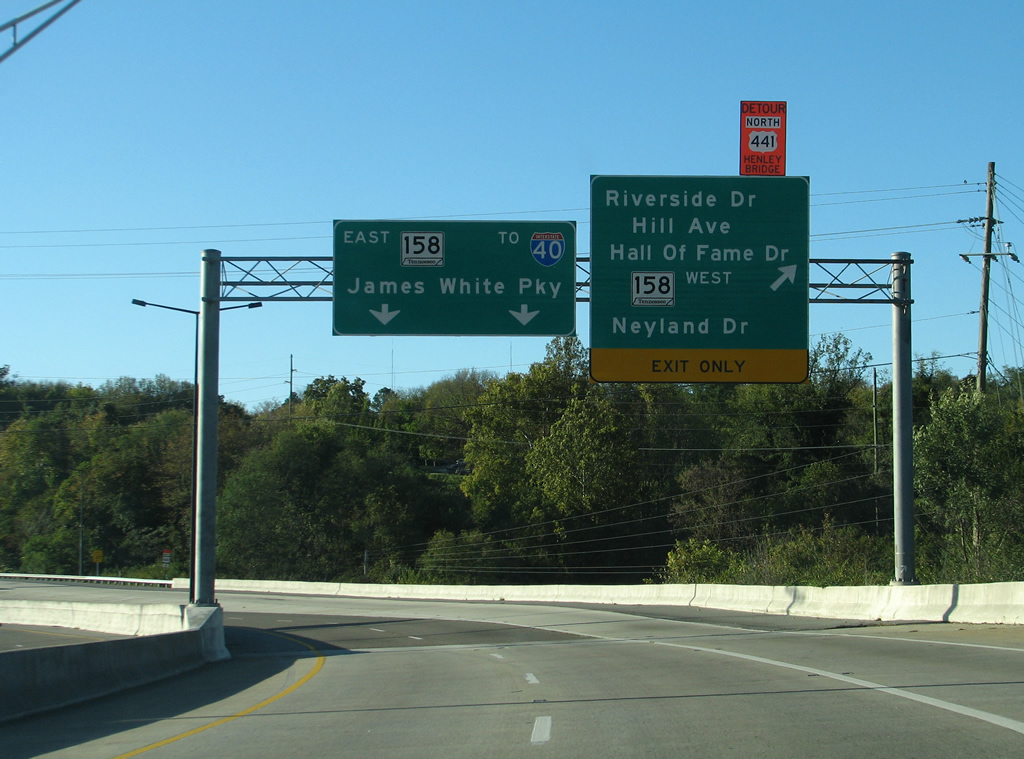
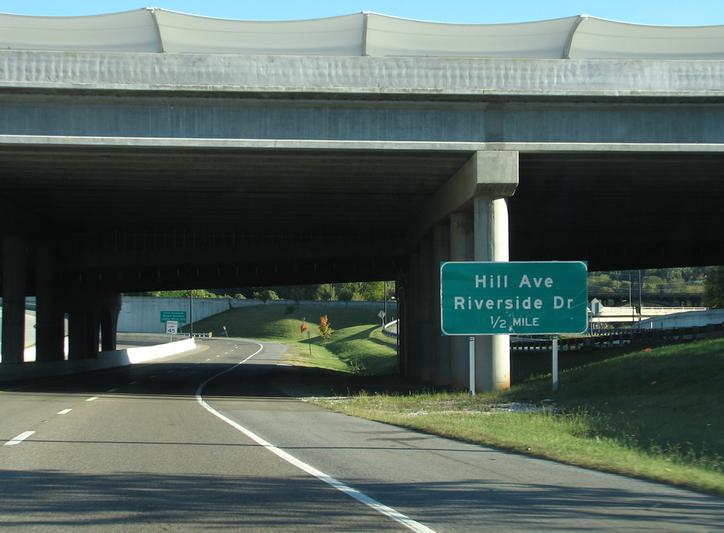
| SR 71 north defaults onto SR 158 east to continue James White Parkway north to Interstate 40. Historic Preservation Drive comprises a westbound side frontage road from Riverside Drive to the SR 158 on-ramp. 10/15/11 |
|
| The beginning of SR 71 eastbound (James White Parkway) at the Church Avenue Bridge. Departing to the right are the westbound lanes of SR 158 to Neyland Drive.
Originally built in 1926, the Church Avenue bridge was replaced during the SmartFIX40 project when James White Parkway was completely closed to traffic. Demolition of the old span was completed by December 2006 and its replacement opened on September 11, 2007. In addition to two lanes of traffic, the bridge accommodates 31 metered parking spaces, two seven foot sidewalks and a bicycle path.5 08/23/03, 10/15/11 |
|
| Turning eastward under the ramp from SR 71 north to SR 158 west, motorists bound for the Civic Coliseum, Blount Mansion and James White Fort are directed onto the forthcoming Hill Avenue off-ramp. 10/15/11 |
|
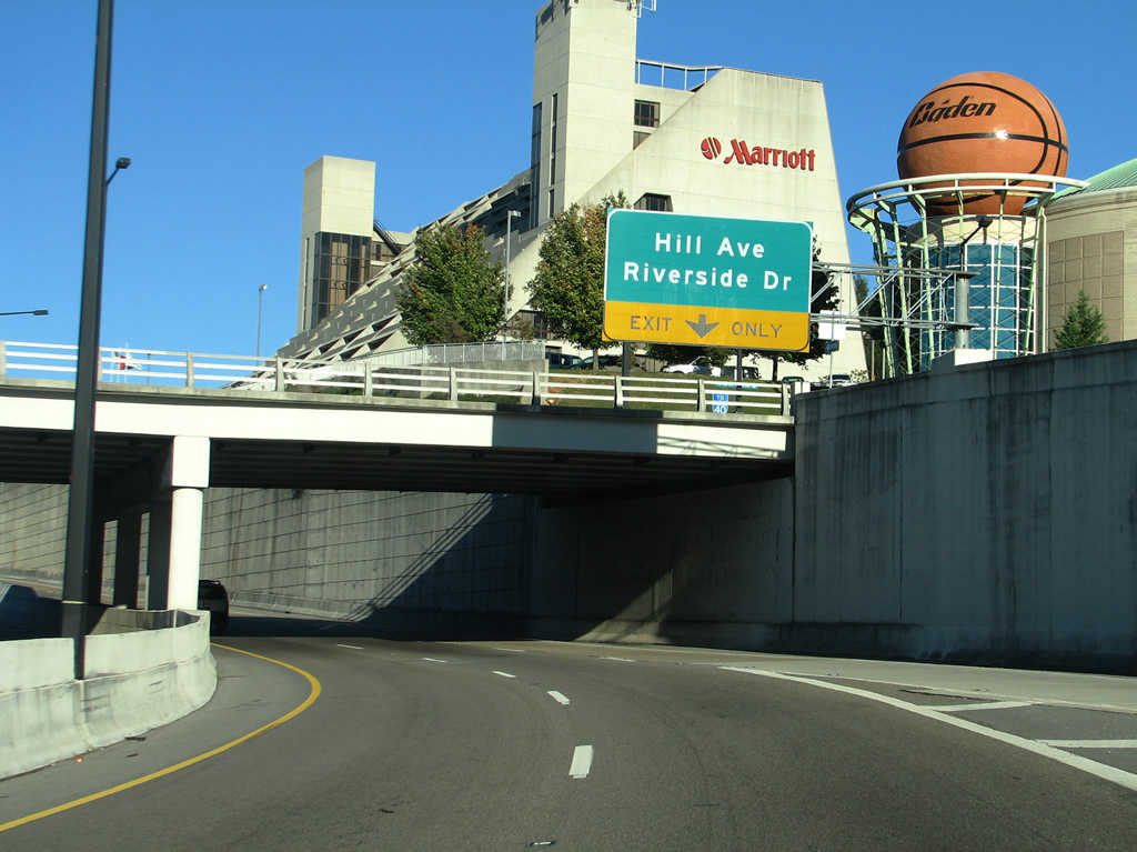
| SR 71 travels below grade by the National Women's Basketball Hall of Fame. An auxiliary lane joins the freeway from SR 158 east to Hill Avenue and George Dempster Drive. 10/15/11 |
|
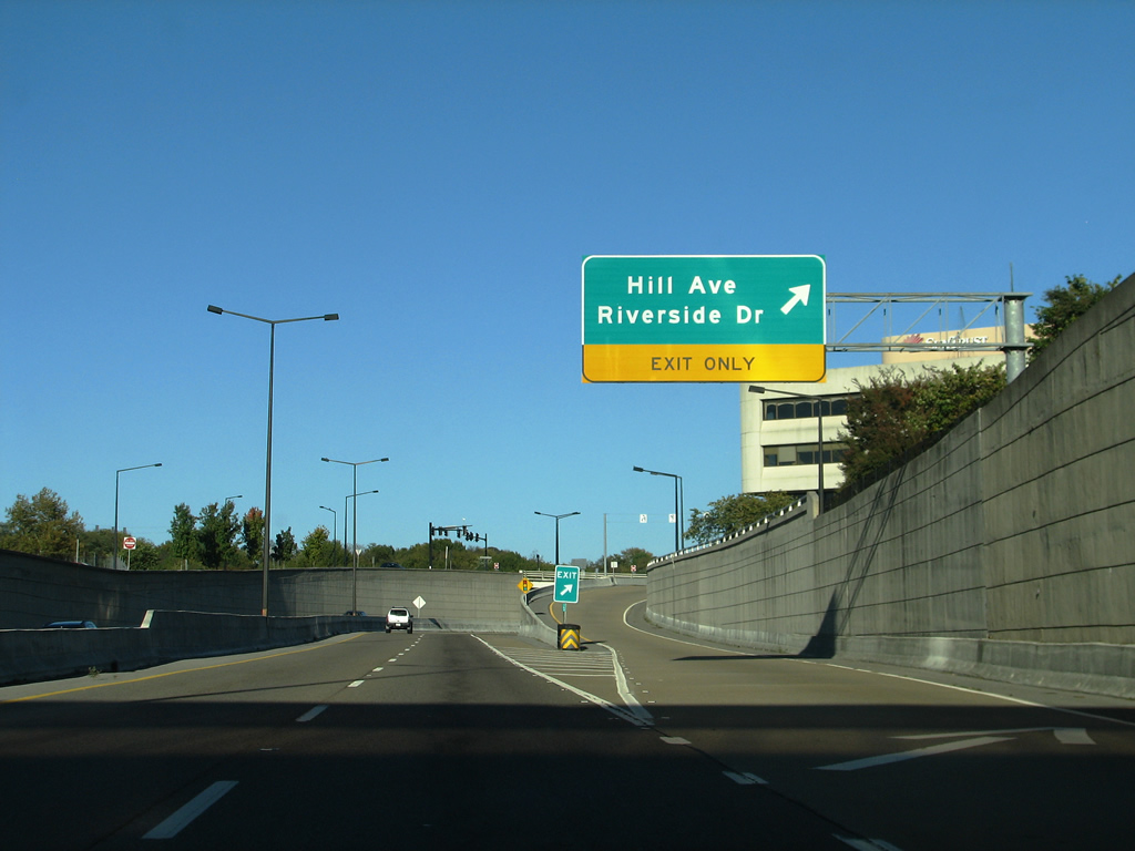
| The eastbound off-ramp from SR 71 (James White Parkway) forms the beginning of parallel George Dempster Drive leading east to Riverside Drive. Hill Avenue travels from downtown over a high viaduct above SR 158 to become Martin Luther King, Jr. Avenue north at Summit Hill Drive. The road continues to Park City. 10/15/11 |
|
| George Dempster Drive splits with an on-ramp to James White Parkway east ahead of its intersection with Riverside Drive. Riverside Drive ventures east from SR 71 to Delrose Drive and Marble Hill. 08/23/03 |
|
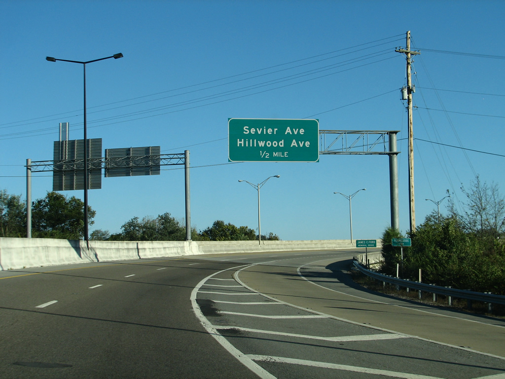
| Turning south to span the Tennessee River, SR 71 next meets Anita Drive, a four lane connection with Sevier Avenue to the west and Hillwood Drive to the east at South Knoxville. 10/15/11 |
|
| Sevier Avenue heads east from Blount Avenue and the Gay Street bridge to meet Anita Drive, west of SR 71. Hillwood Avenue ties into Anita Drive from Island Home to the east. 10/15/11 |
|
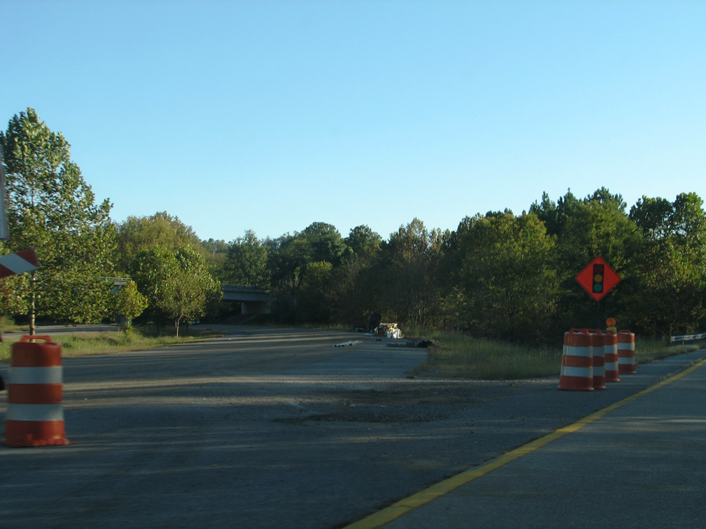
| SR 71 currently ends at a half diamond interchange with Sevierville Pike. While an extension of James White Parkway remains in limbo due to funding and environmental related issues, an overpass is already in place for Sevierville Pike should the freeway be extended. 10/15/11 |
|
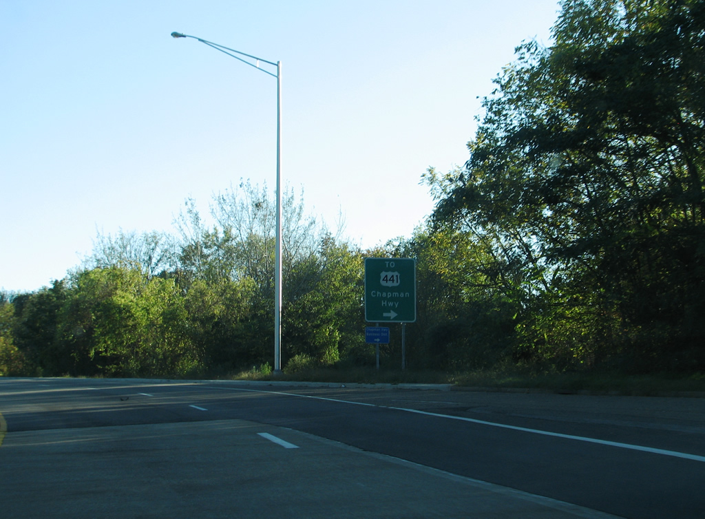
| The ultimate goal of extending James White Parkway is to provide an alternate route to U.S. 441 and the Henley Street Bridge. Presently drivers must take Sevierville Pike west to Moody Avenue to make the connection, but that will change if SR 71 is completed. Sevierville Pike east otherwise continues to Lake Forest and SR 168 (Governor John Sevier Highway). 10/15/11 |
Sources:
- "NEW SOUTH KNOX ROAD MEANS EASIER BRIDGE ACCESS." Knoxville News-Sentinel, November 28, 1990.
- "TDOT to look at shelving projects - Pellissippi Extension, South Knox road, Beltway debated." Knoxville News-Sentinel, November 9, 2003.
- "Planning resumes for proposed parkway extension." Knoxville News Sentinel, March 26, 2007.
- "JAMES WHITE PARKWAY INCHES AHEAD - S. Knox link gets study - With geographic survey, state takes next step, but construction years away." Knoxville News Sentinel, April 20, 2011.
- "New Church Avenue Bridge Opens." Tennessee Government press release, September 11, 2007.
- "James White Parkway extension appears to have green light from TDOT." Knoxville News Sentinel, August 18, 2013.
- "TDOT: Proposed James White Parkway extension plans now dead." Knoxville News Sentinel, August 28, 2013.
- "James White Parkway extension dead." Knoxville News Sentinel, October 16, 2013.
08/23/03 by AARoads and Justin Cozart. 10/15/11 by Carter Buchanan.
Connect with:
State Route 158 - James White Parkway
Page Updated 02-12-2016.