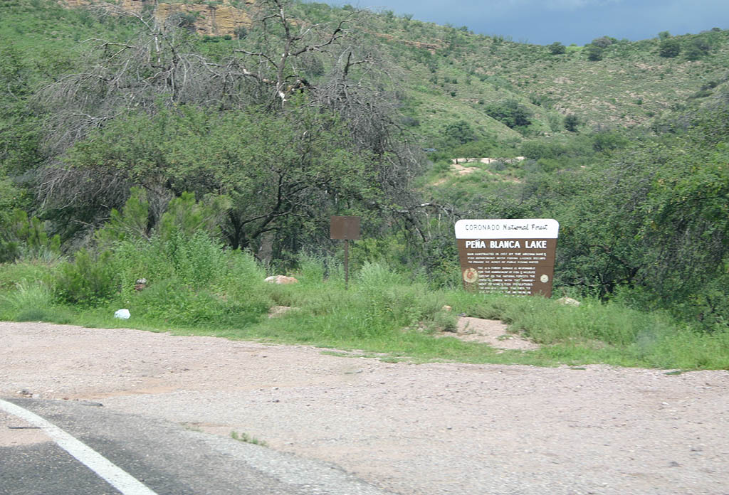
Arizona State Route 289 is a 10.5 mile highway connecting Interstate 19 with Pena Blanca Lake in Santa Cruz County. The state highway stems west from I-19 (Exit 12) and follows Ruby Road southwest toward Pena Blanca Lake, located within the Buenos Aires National Wildlife Refuge. Pena Blanca Lake was constructed in 1958 by the Arizona Fish & Game Department, with SR 289 being added to the state highway system two years later.
|
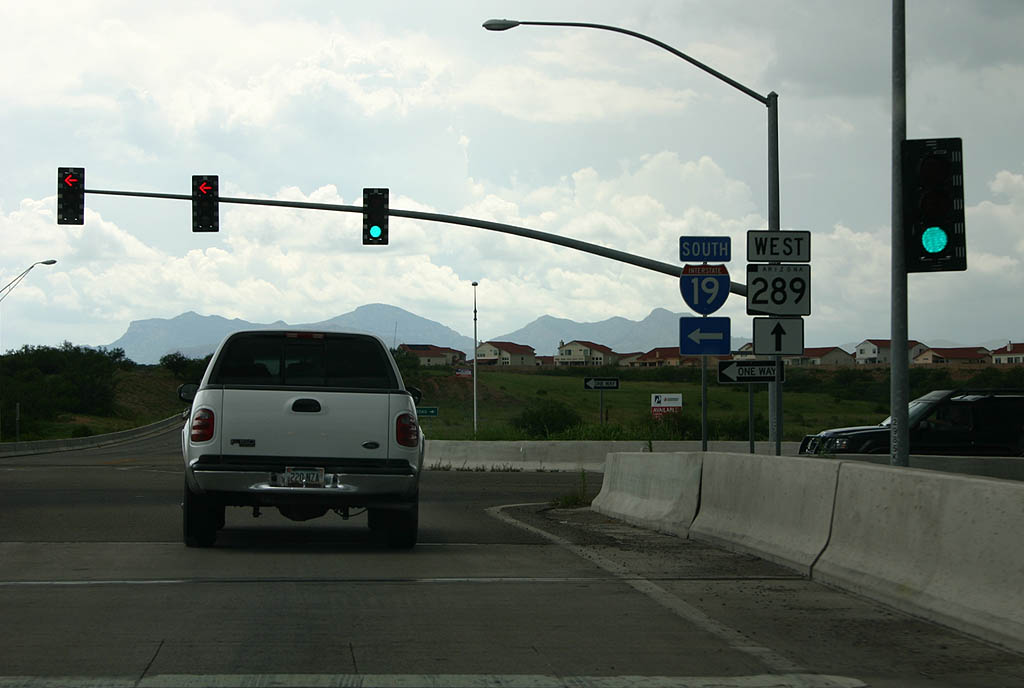
| Westbound beginning of SR 289 from the Interstate 19 overpass. 07/26/08 |
|
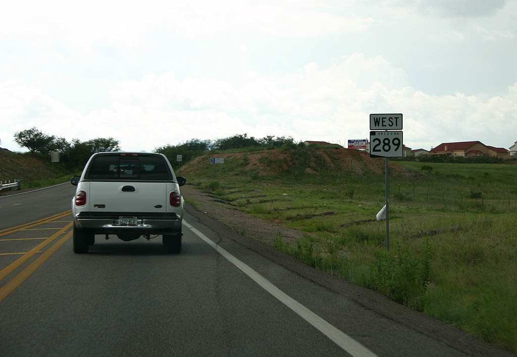
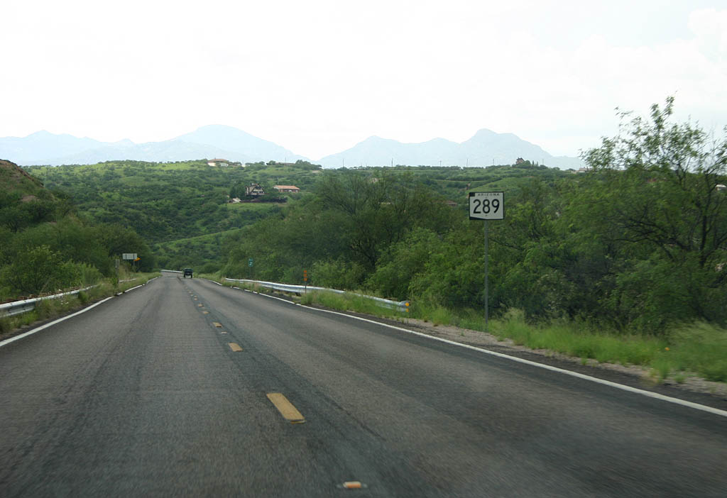
| SR 289 travels along Ruby Road for most of its course to Pena Blanca Lake. Otherwise, this confirming marker for the state highway stands beyond the interchange with I-19. 07/26/08 |
|
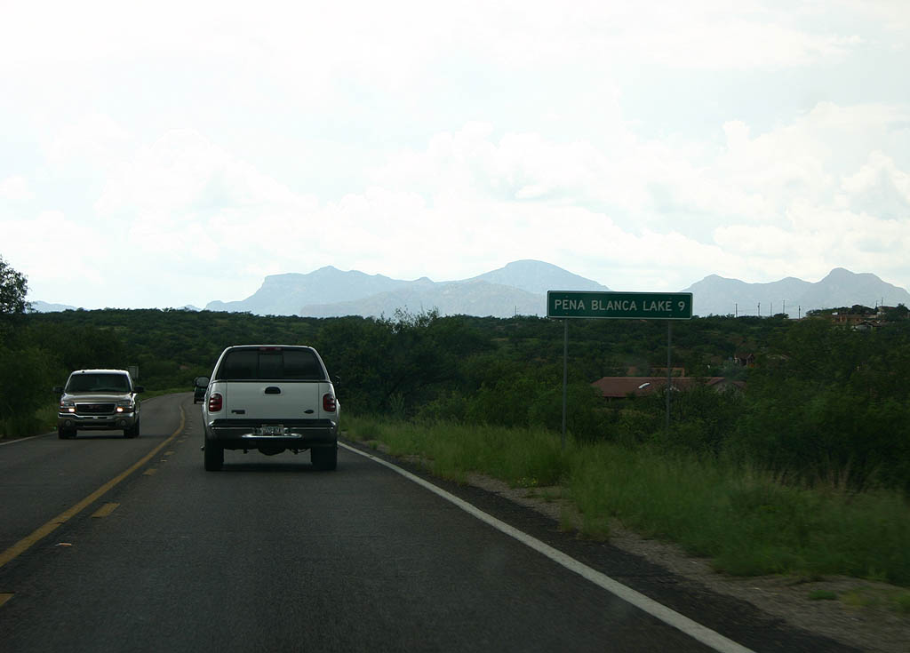
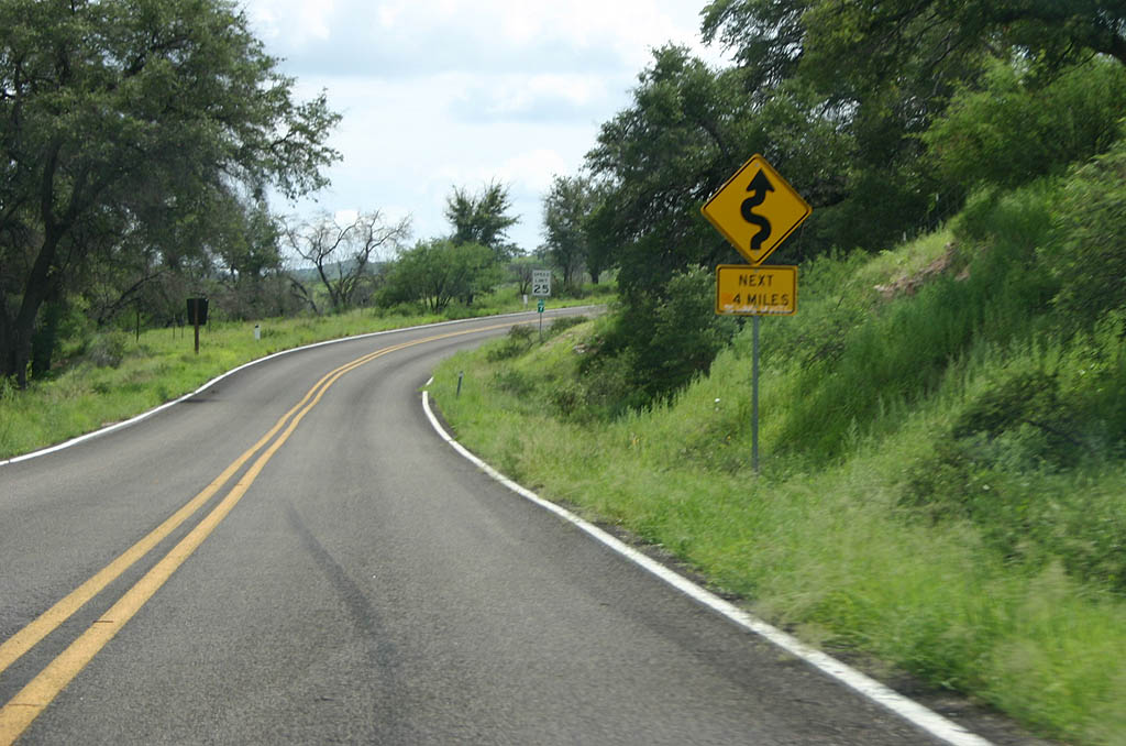
| Distance sign to Pena Blanca Lake. The lake is
the only control point or destination along the
road. 07/26/08 |
|
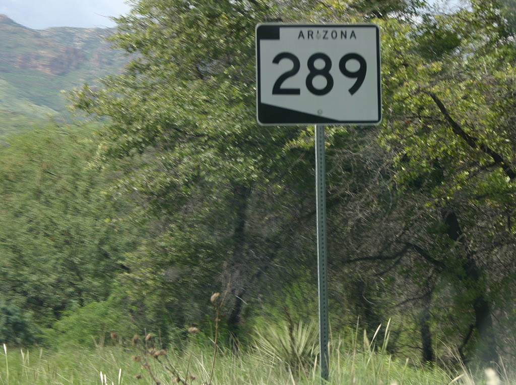
| SR 289 is surprisingly well-signed for a short highway. 07/26/08 |
|
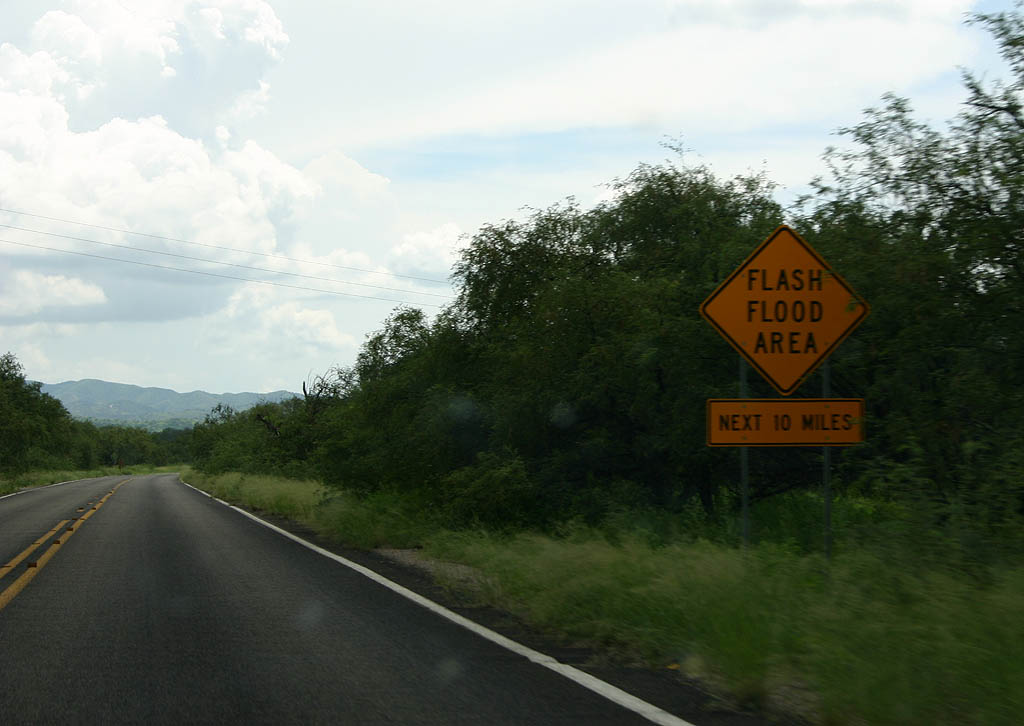
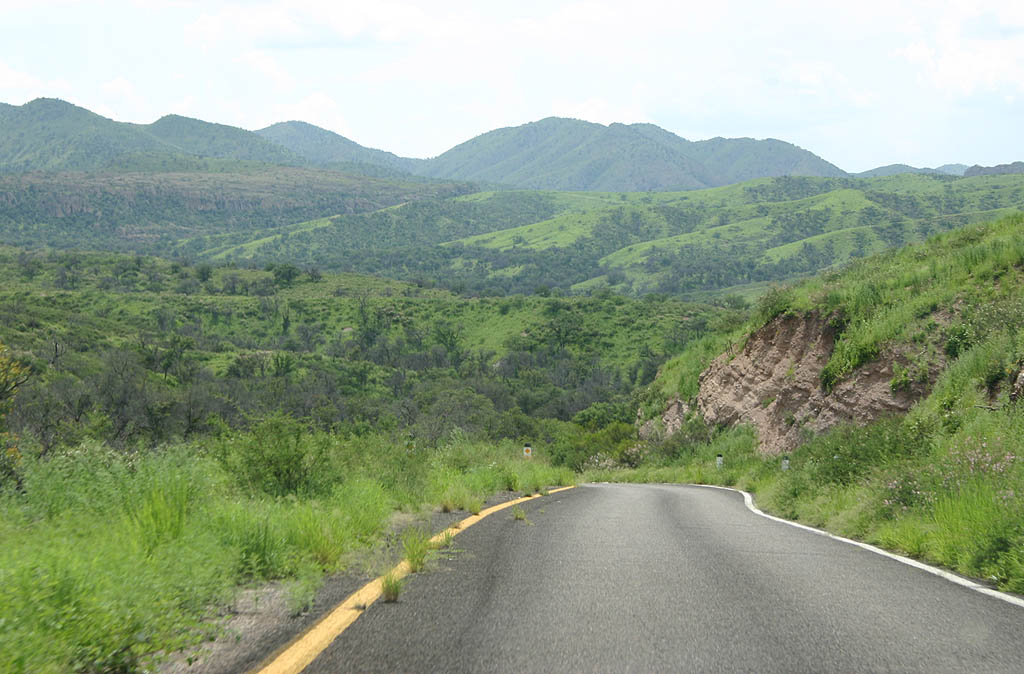
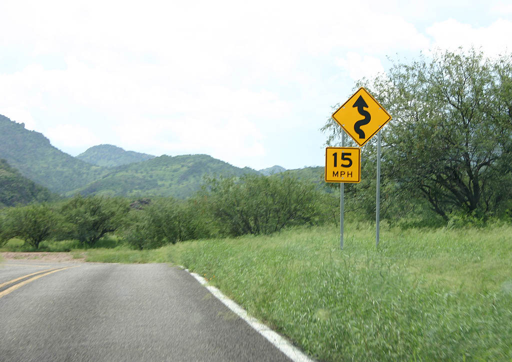
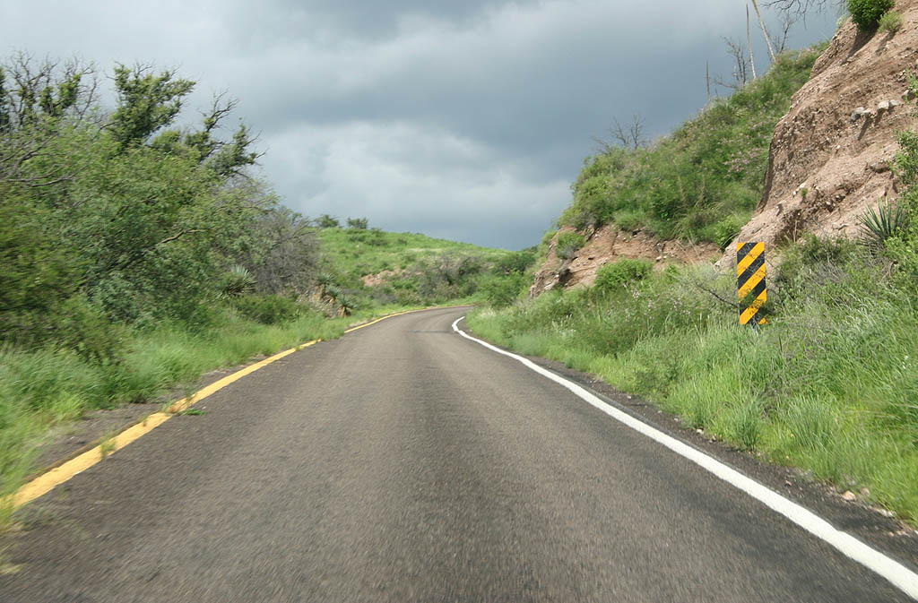
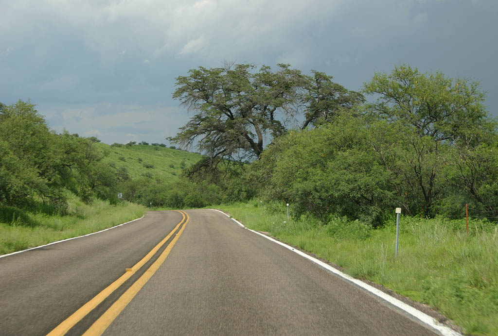
| As the road climbs into the mountains, the vegetation gets more lush and flash flood areas become more prevalent. 07/26/08 |
|
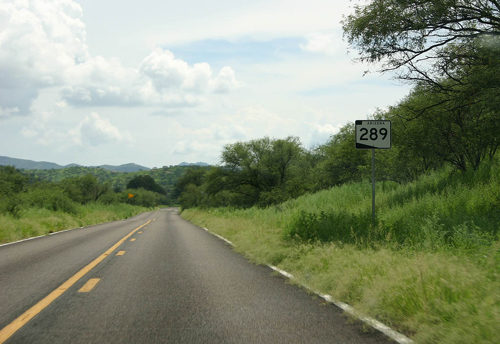
| Surprisingly, this is the third reassurance marker in five miles. 07/26/08 |
|
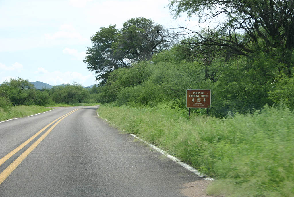
| SR 289 parallels Calabasas Creek for several miles. 07/26/08 |
|
| SR 289 now leaves Calabasas Creek behind
and turns to descend into Walker Canyon. 07/26/08 |
|
| There is a short one way section where the road splits, with a creek in the middle. This is where SR 289 descends into Walker Canyon. 07/26/08 |
|
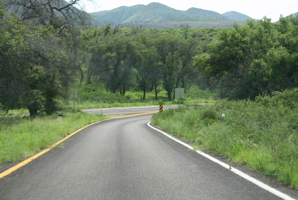
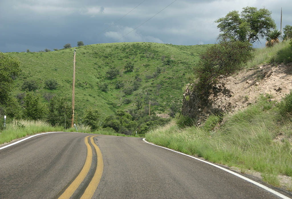
| SR 289 climbs out of Walker canyon and winds
around through verdant country. 07/26/08 |
|
| This is the final turn north to the lake. The
road to the left is a Forest Service Road leading
eventually to SR 286. 07/26/08 |
|
| This is the final reassurance marker along Arizona
289. 07/26/08 |
|
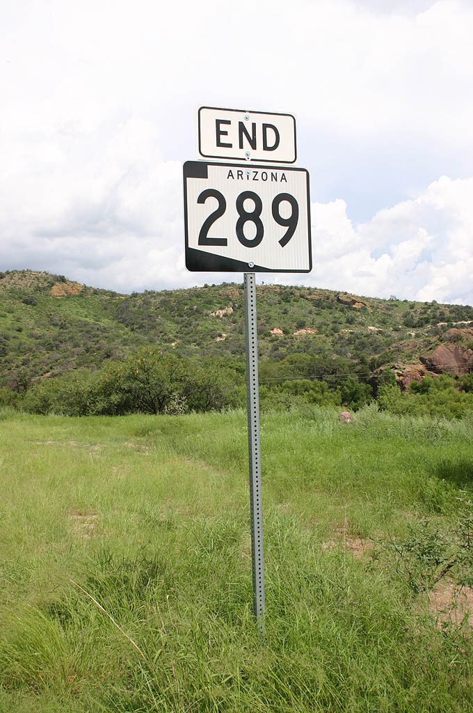
| SR 289 ends at Pena Blanca Lake. The pavement abruptly ends, as seen in the second photo. 07/26/08 |
|
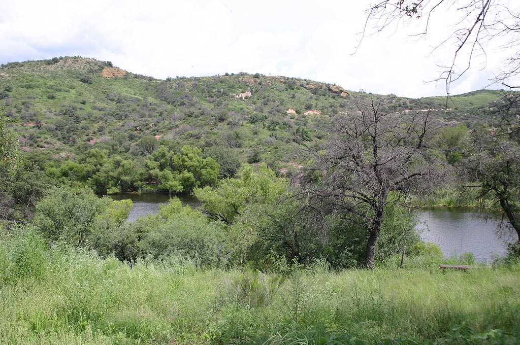
| Pena Blanca Lake was constructed by the Arizona Department of Fish and Game in 1958. The lake is a hidden treasure, stocked with fish, but has had many issues over the years, including former mine tailings laced with mercury washing into the lake in the early 1990s. 07/26/08 |
|
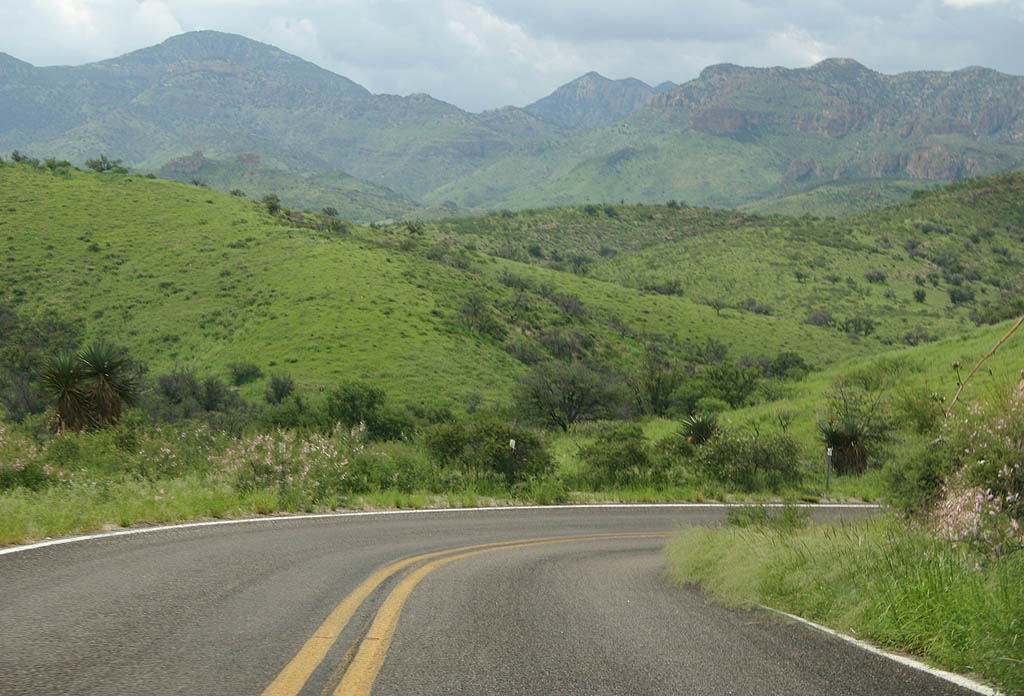
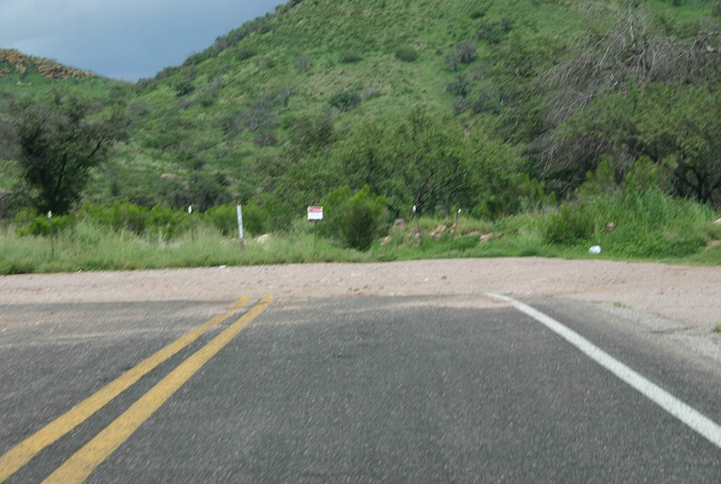
| Leaving the lake, SR 289 navigates through numerous curves. 07/26/08 |
|
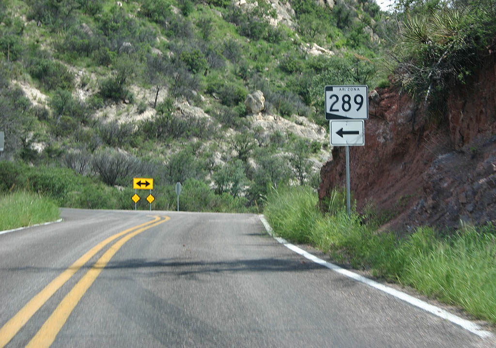
| Turn left to continue on SR 289. A right
turn will take you through the forest to Arizona
286. 07/26/08 |
|
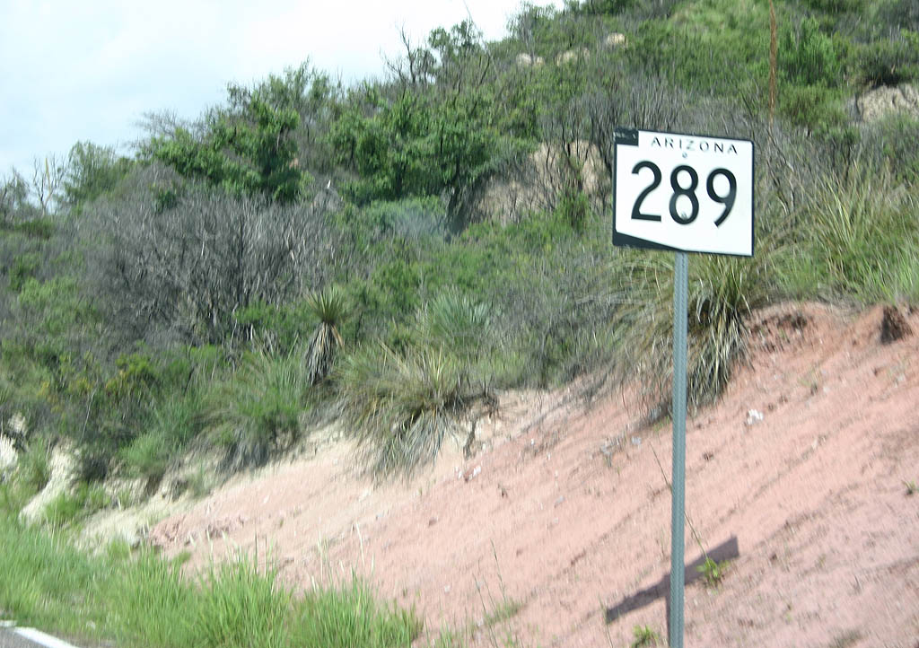
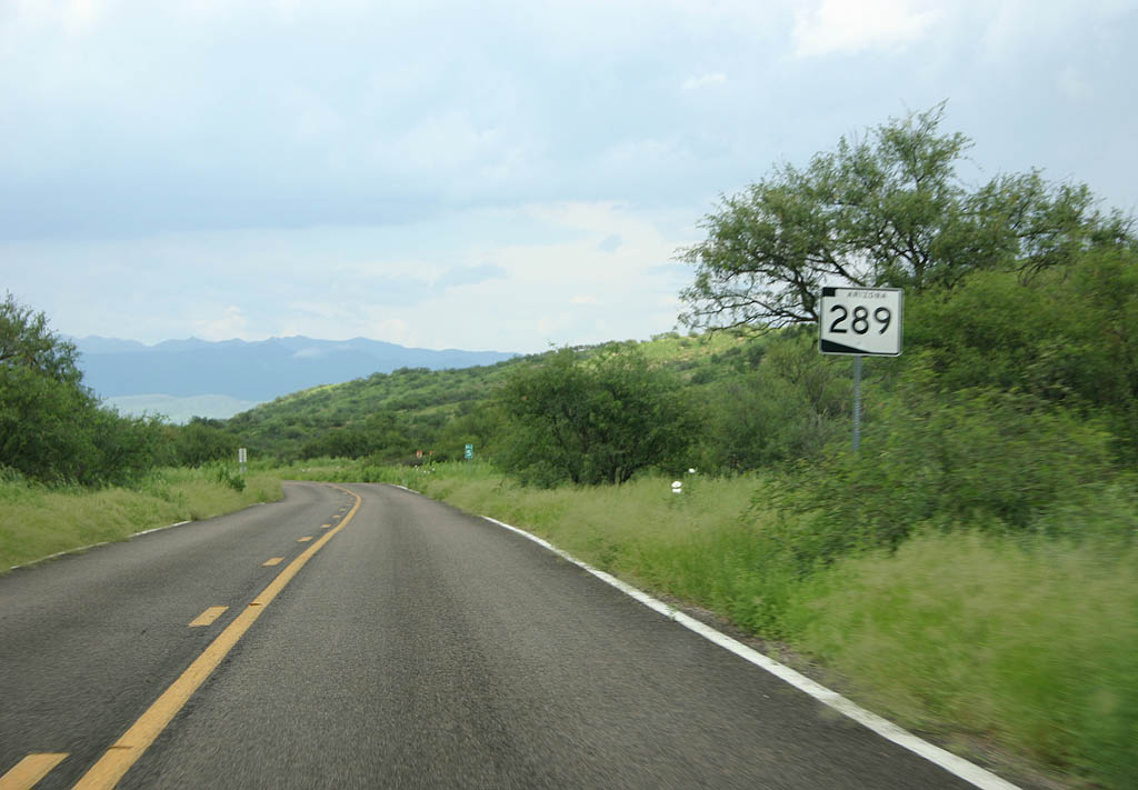
| This is the first reassurance marker for Arizona
289. 07/26/08 |
|
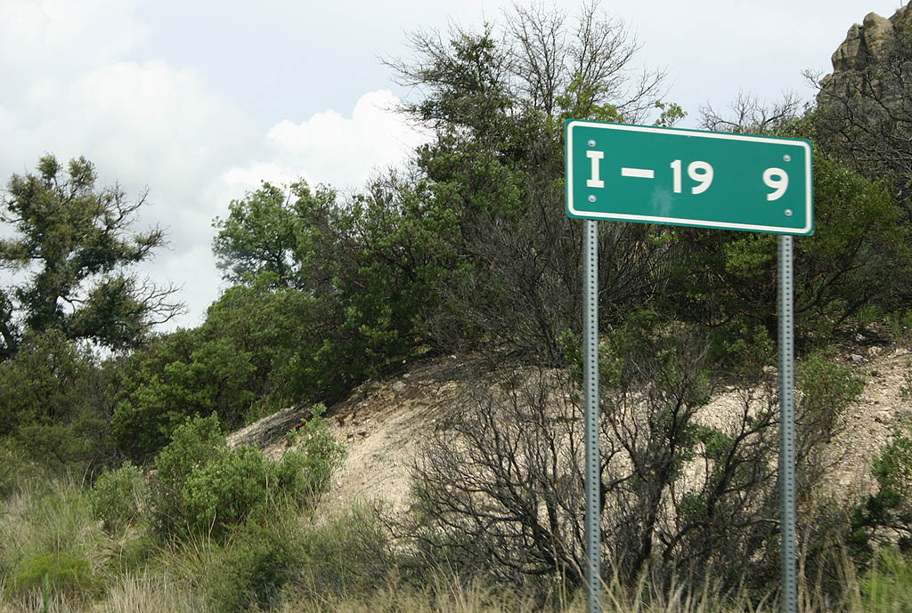
| Distance sign to Interstate 19, 9 miles. 07/26/08 |
|
| SR 289 winds down an unnamed tributary of Walker Canyon. 07/26/08 |
|
| Here is the short one way section of SR 289
heading uphill. There is a reassurance marker at
the bottom of this section of the road. 07/26/08 |
|
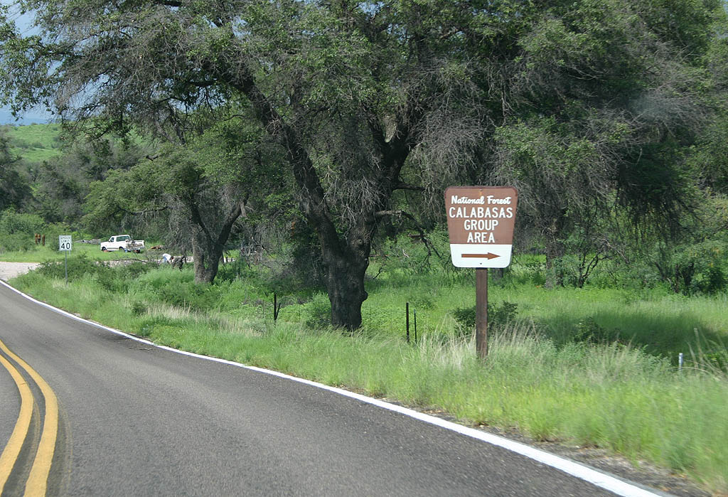
| SR 289 meets the Calabasas Picnic Area here.
The Picnic Area is named after Calabasas Creek. 07/26/08 |
|
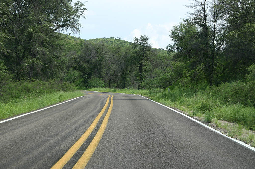
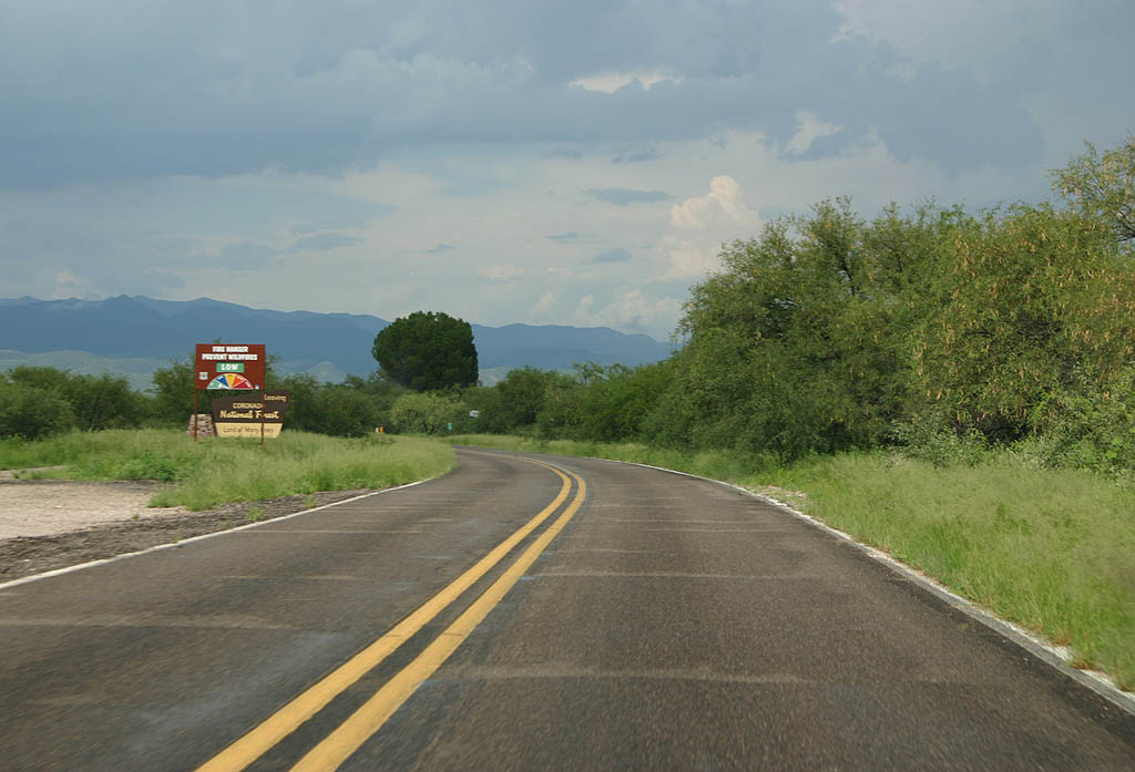
| SR 289 now follows Calabasas Canyon. 07/26/08 |
|
| This is the last reassurance marker along Arizona
289. 07/26/08 |
|
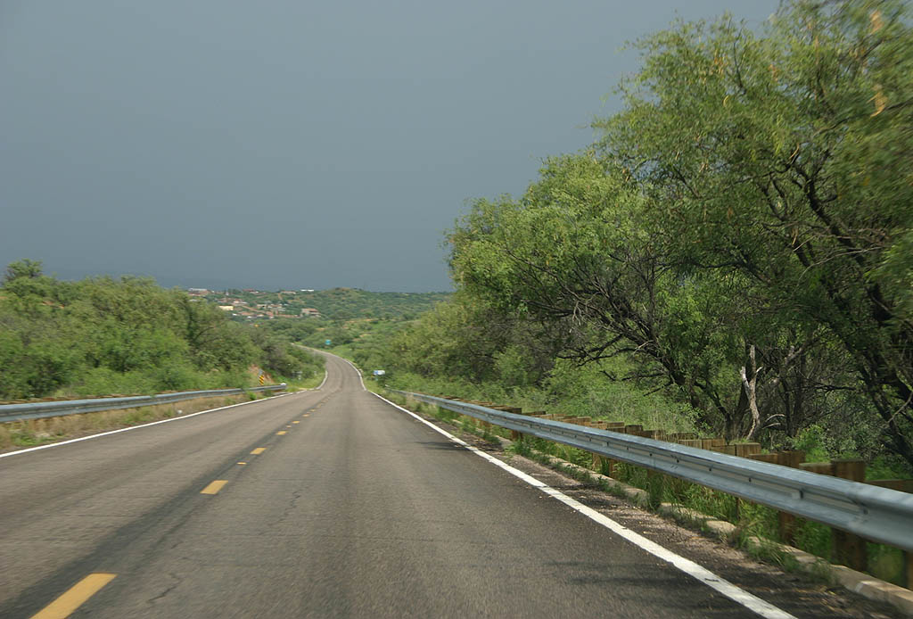
| SR 289 now leaves the canyon and heads directly toward Interstate 19. 07/26/08 |
|
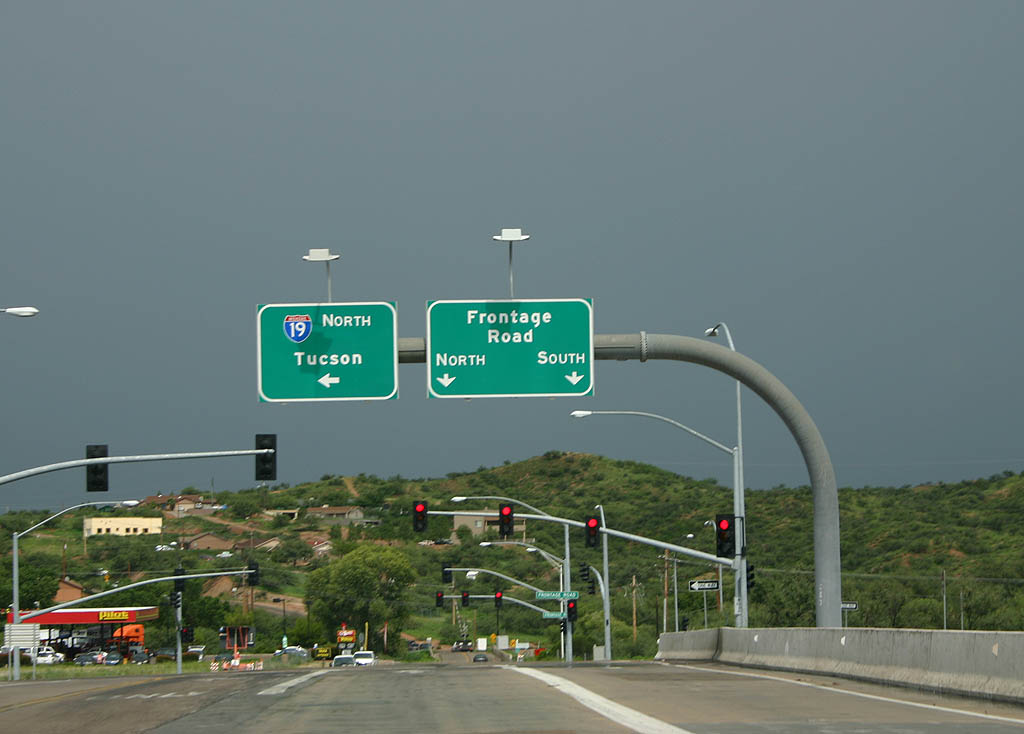
| SR 289 ends here, at the overpass over Interstate
19. Turn left for Interstate 19 northbound. 07/26/08 |
Page Updated 12-02-2008.