|
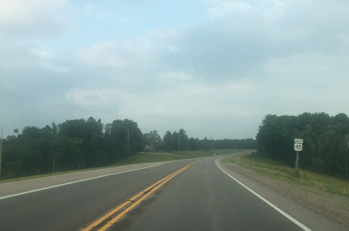
| U.S. 45 curves east as it leaves County SS to Split Rock. 07/07/16 |
|
| The highway briefly widens in the vicinity of Lone Maple Road as the terrain rises. 07/07/16 |
|
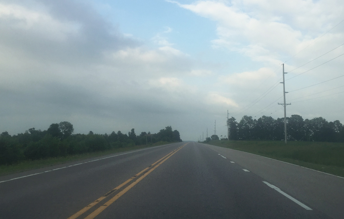
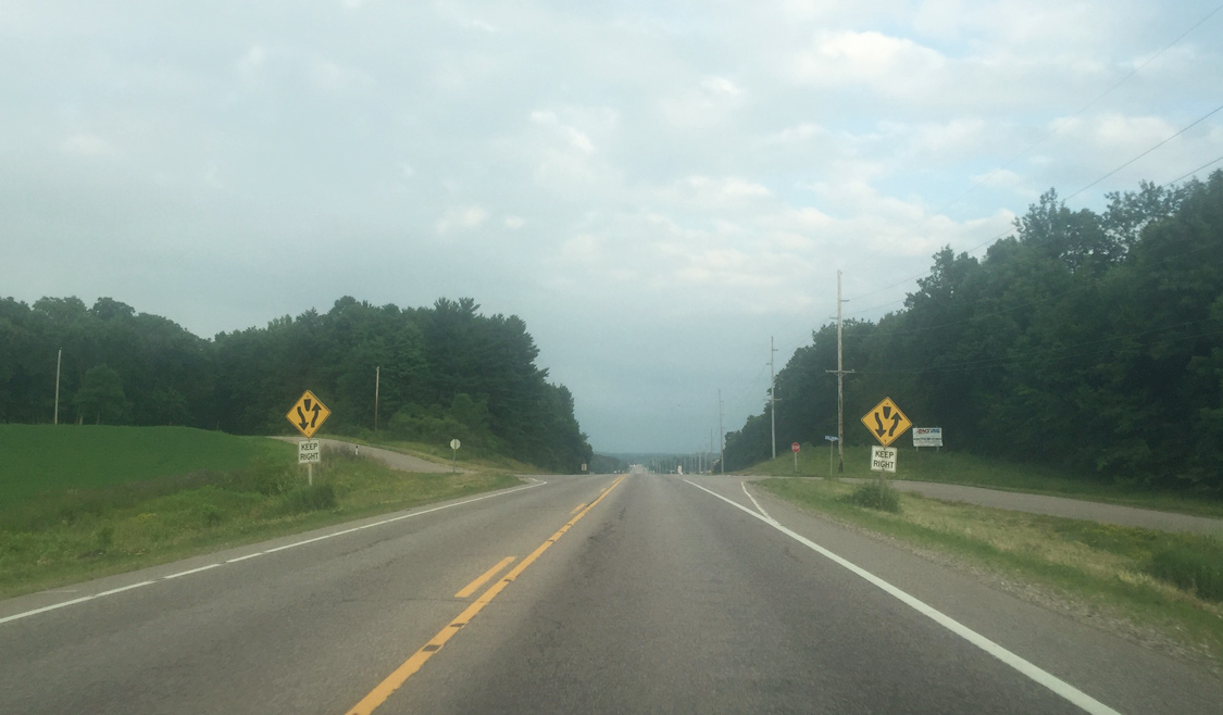
| Elevations along this stretch of U.S. 45 vary between 1,020 feet to 930 feet above sea level. 07/07/16 |
|
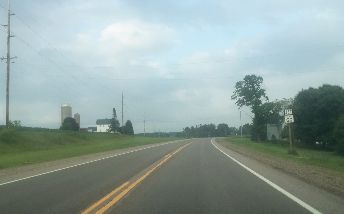
| U.S. 45 arcs southeast on the approach to Shawano County GG. The county trunk highway spokes east to connect with County G south of Caroline. 07/07/16 |
|
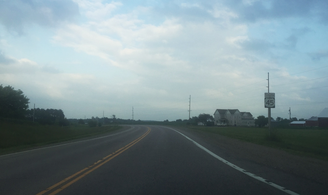
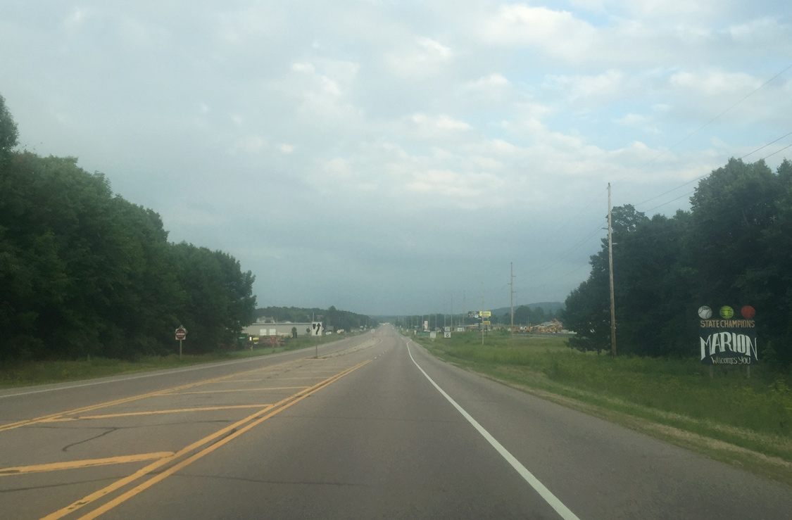
| A confirming marker lines U.S. 45 south as it beelines toward Marion. 07/07/16 |
|
| Beyond Gollnow Road, U.S. 45 widens to a five lane undivided highway. 07/07/16 |
|
| A Welcome to Marion sign precedes County G. This sign was erected sometime after 2011. A city limit sign appears before the intersection with the county trunk highway. 07/07/16 |
|
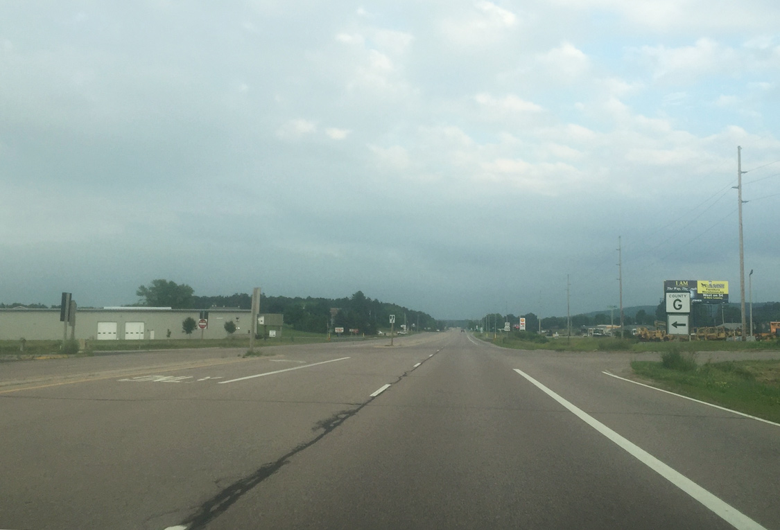
| Shawano County G (Big Lake Road) stems north from U.S. 45 to Caroline, an unincorporated area within Shawano County, and to Wis 29 in the vicinity of Tilleda. 07/07/16 |
|
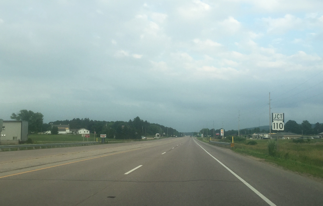
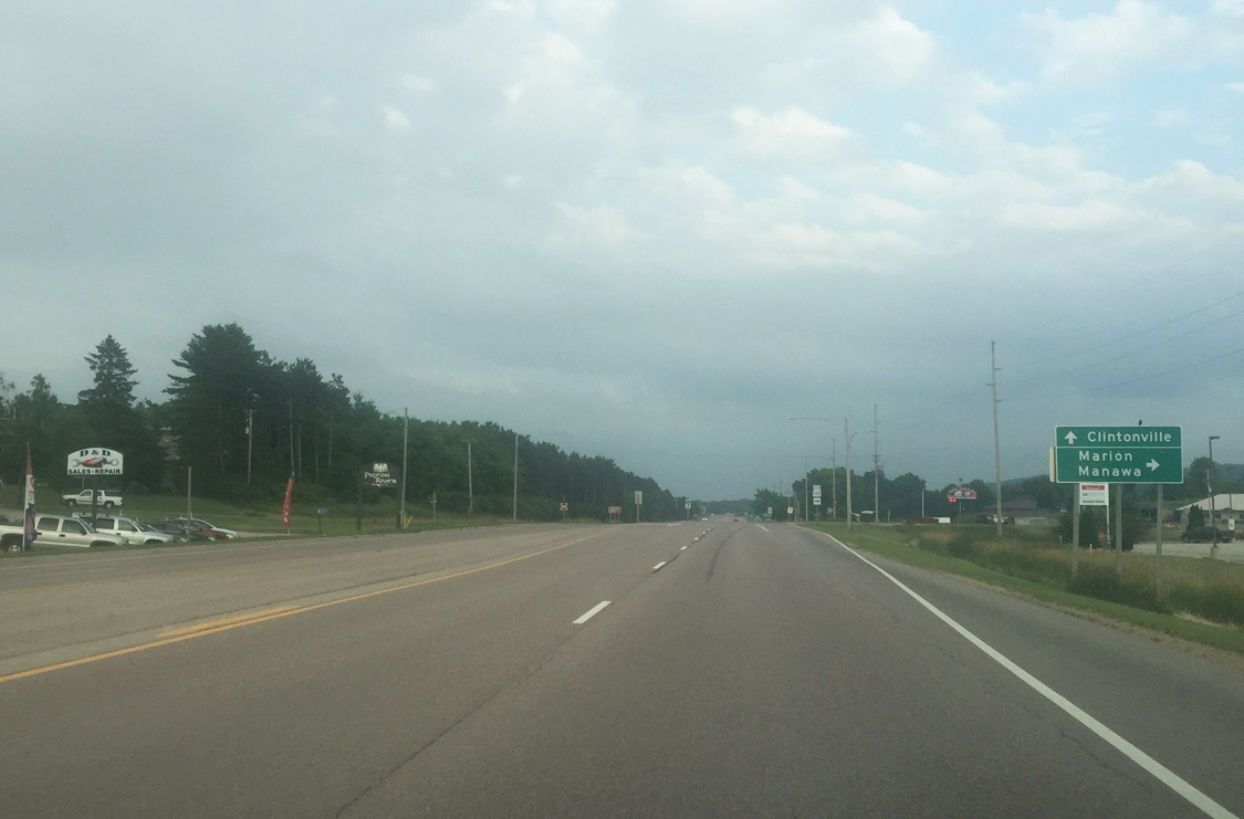
| Following CTH-G motorists quickly approach Wis 110 south to Marion and Manawa. Marion straddles both Shawano and Waupaca counties. 07/07/16 |
|
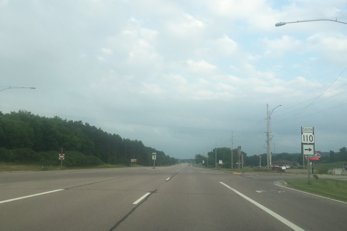
| STH-110 travels 37.4 miles between U.S. 45 near Marion and U.S. 10 near Weyauwega. The state trunk highway passes through Manawa located along the Little Wolf River. 07/07/16 |
|
| Wis 110 follows Main Street south into the heart of Marion while U.S. 45 skirts the majority of the city to the northeast. 07/07/16 |
|
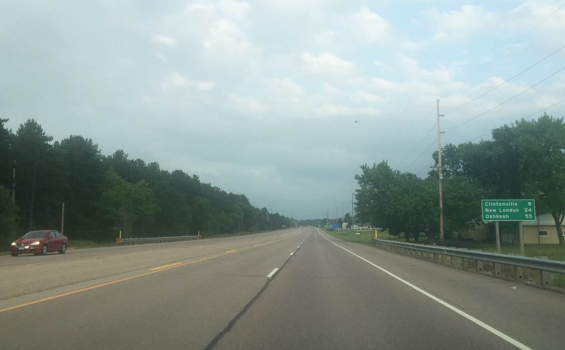
| U.S. 45 will join Wis 22 south in Clintonville in 8 miles, en route to New London (24 miles). The city of Oshkosh lies between Interstate 41 and Lake Winnebago 55 miles ahead. 07/07/16 |
|
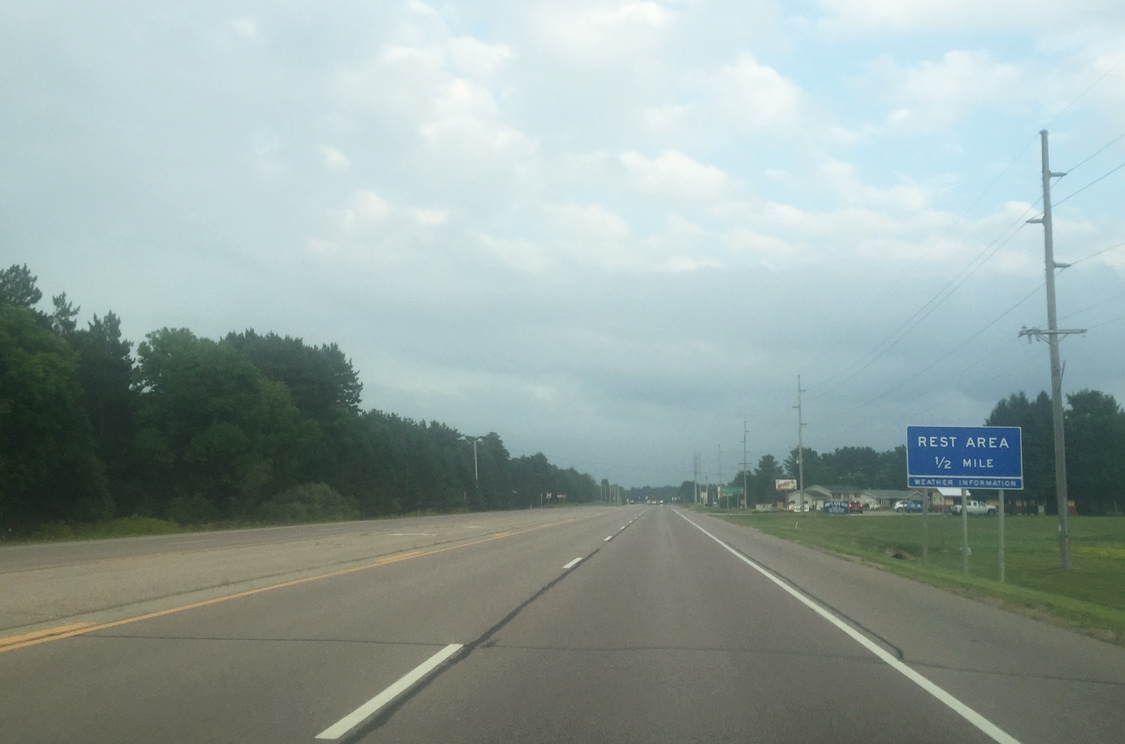
| A travelers rest area lies one half mile ahead along U.S. 45 south. Accessible from both directions, the rest area was opened in 1991 and features full amenities. 07/07/16 |
|
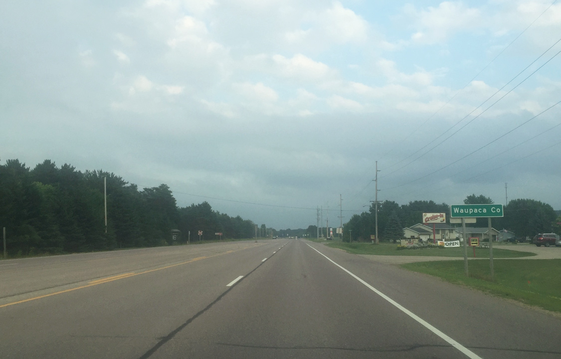
| Drivers formally enter Waupaca County near the intersection with NE 5th Street in Marion. 07/07/16 |
Page Updated 07-31-2016.


 South
South