|
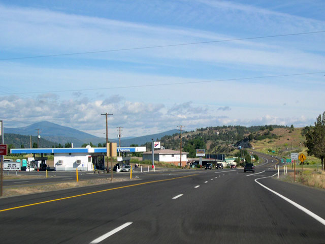
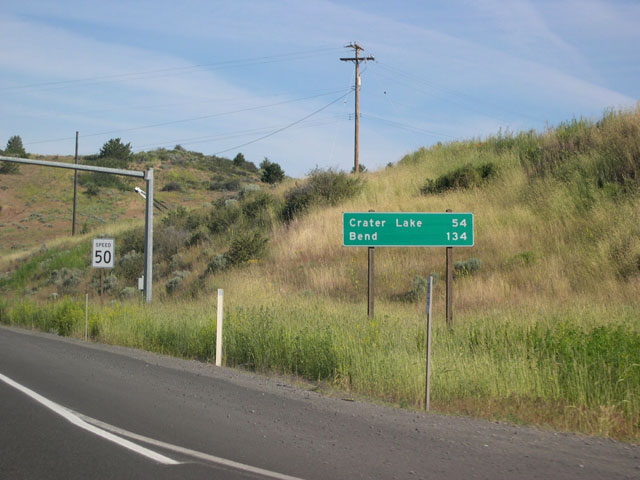
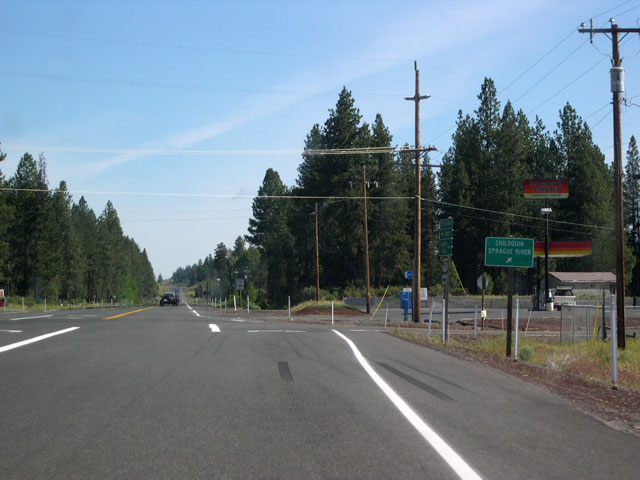
| Northbound U.S. 97 Business and OR 39 merge with U.S. 97 in the Pelican City district at the northern end of Klamath Falls. This is the end of OR 39; U.S. 97 Business is absorbed back into U.S. 97 proper. Motorists will see a large distance sign, displaying distances to Crater Lake and Bend, shortly after the merge (second image). 06/26/05 |
|
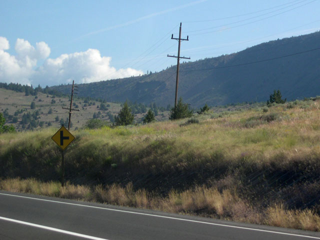
| Several roads depart from the east side of U.S. 97 along this stretch to make short jaunts in toward the hills and back, returning to the highway a few miles later. This side-road intersection sign announces the upcoming junction with Wocus Road. 06/26/05 |
|
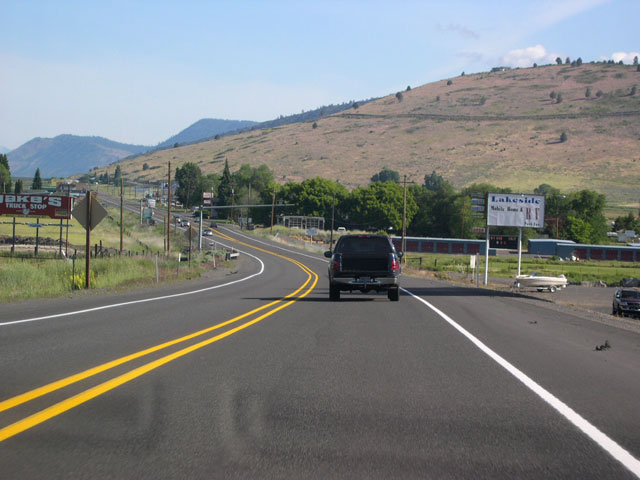
| Just outside the Klamath Falls city limits, U.S. 97 passes through a strip of older commercial properties. The dry hills which border the highway on the east along Upper Klamath Lake are visible on the horizon. 06/26/05 |
|
| Before reaching the shores of Upper Klamath lake, northbound U.S. 97 reaches its northern intersection with Wocus Road. 06/26/05 |
|
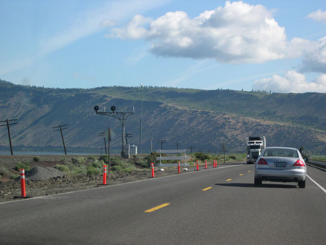
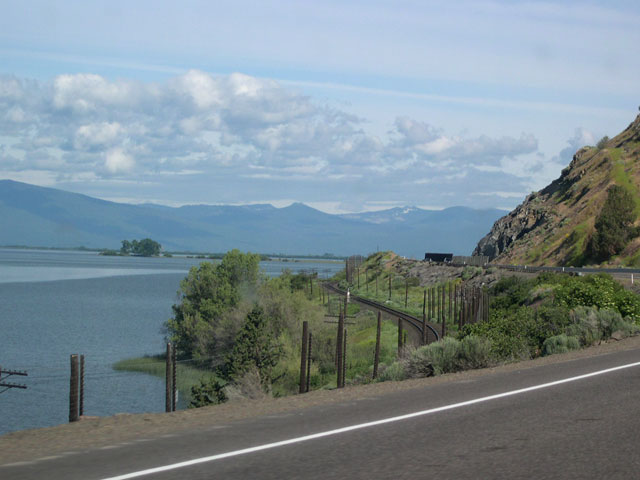
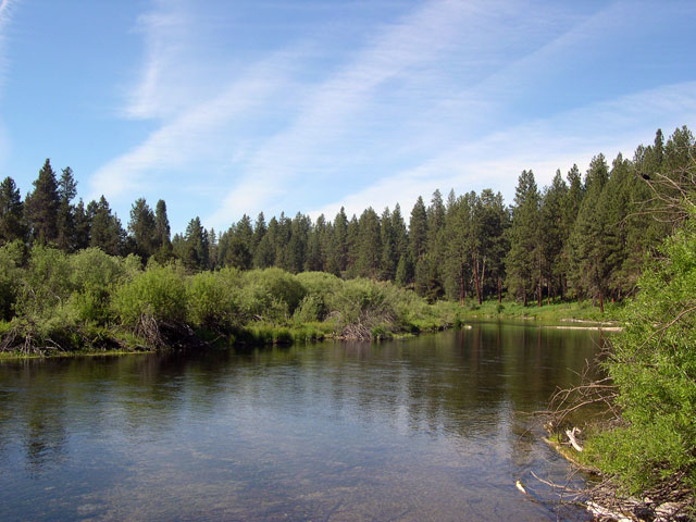
| The tracks of the Southern Pacific Railroad, visible at left, will parallel U.S. 97 for its journey along Upper Klamath Lake. The lake is on the other side of the railroad, hidden in this view by the berm carrying the tracks. 06/26/05 |
|
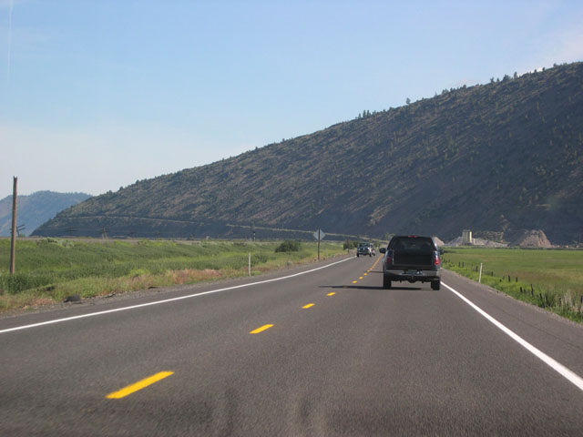
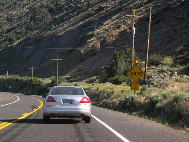
| A flashing amber light and caution sign alert motorists to hazards from falling rock as U.S. 97 prepares to travel alongside the steep hills that border the lake's eastern shore. 06/26/05 |
|
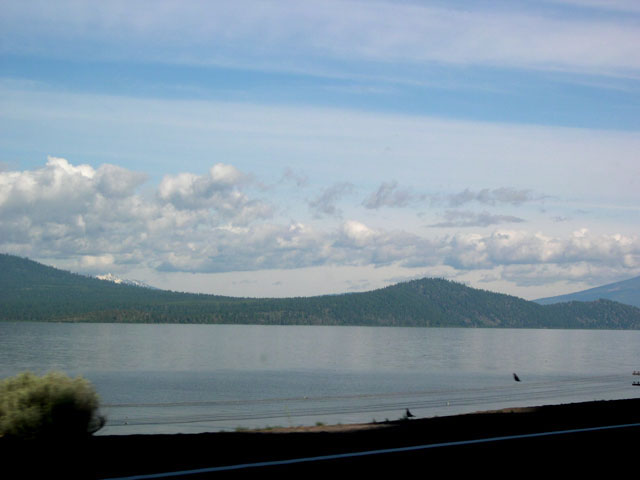
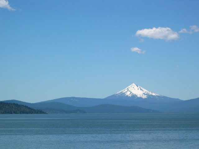
| Looking west from the highway, the southern Oregon Cascades form a picturesque backdrop behind Upper Klamath Lake. The sharply-peaked volcanic cone of Mount McLoughlin (elevation 9,495 feet) is usually conspicuous here, but was obscured by clouds when the first photo was taken. Second image shows the view from further north along the highway on a clearer day. 06/26/05 |
|
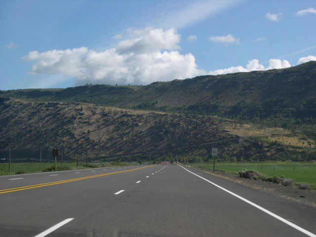
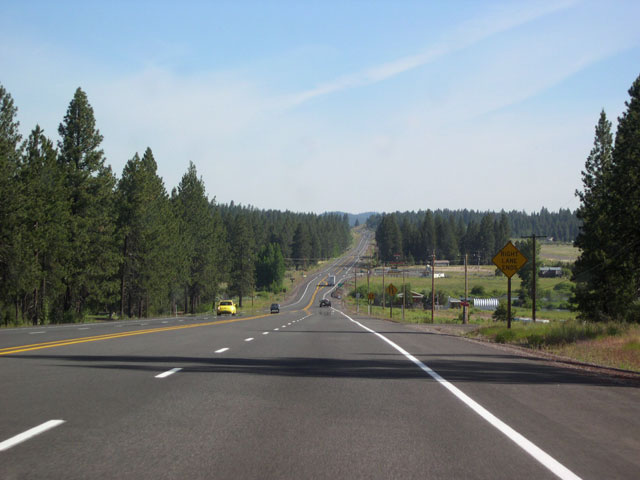
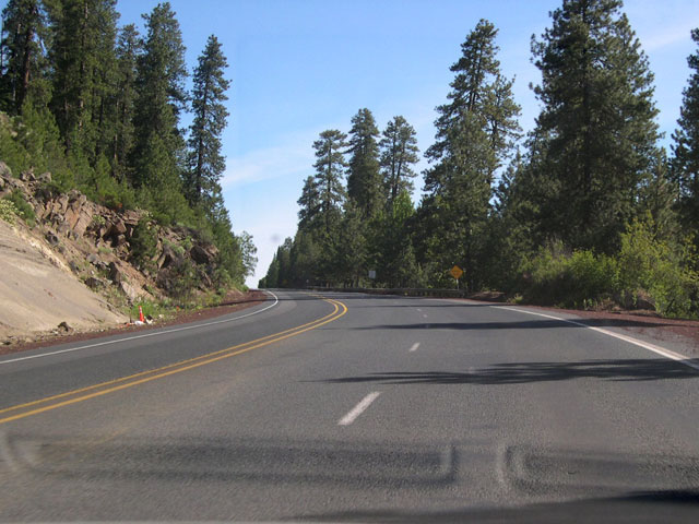
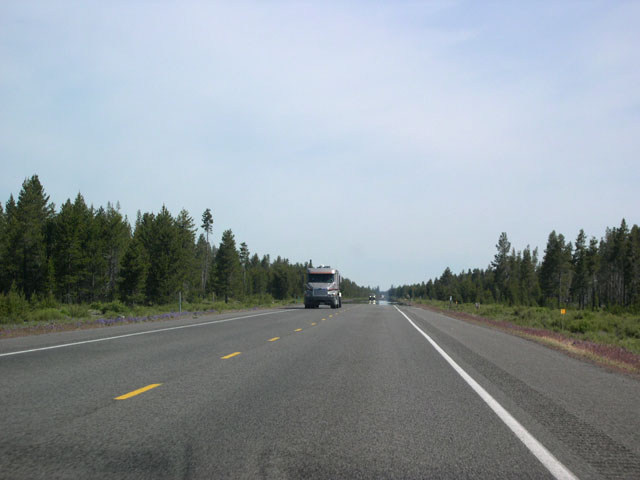
| Just past Rattlesnake Point, the hills briefly recede from the eastern edge of U.S. 97. The highway temporarily widens to four lanes to allow for passing (second image). 06/26/05 |
|
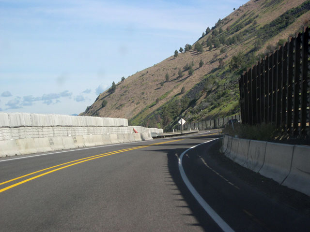
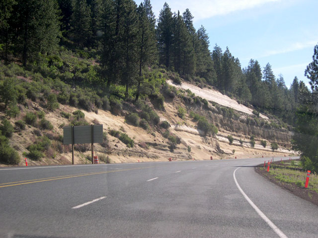
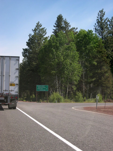
| The hills return to road's edge near the northern intersection with Algoma Road; here U.S. 97 briefly enters the Winema National Forest. Though the route will soon travel through more lush forests of pine, these dry, juniper- studded hills have their own austere kind of beauty. Barriers (bottom image) protect the highway from falling rocks as the road closely hugs the hills here. 06/26/05 |
|
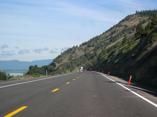
| Approaching the Williamson River junction, a few final views of the lake from the highway's west are still visible. An electrified "slide fence," visible below the left shoulder, triggers warning signals for trains should a rock breach one of its wires. 06/26/05 |
|
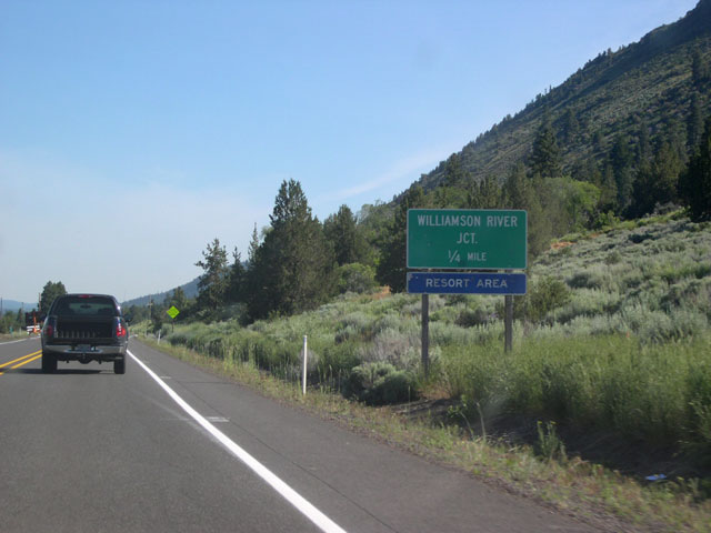
| U.S. 97 continues north from the lake to approach the Willamson River junction at Modoc Point. Travel on the Modoc Point highway (the old alignment of OR 62) for about five miles for the Williamson River Resort. Another distance sign for Crater Lake and Bend, this time with a U.S. 97 shield, appears just after the Williamson River junction. 06/26/05 |
|
| The steep, rocky hills leave the eastern edge of U.S. 97 for good past Modoc Point, where the highway also exits the Winema National Forest (though the forest's boundary is now just east of the highway). Ponderosa pine forests inhabiting improved soils soften the landscape, replacing the rugged juniper woodlands. 06/26/05 |
|
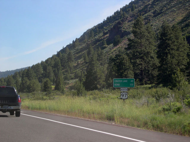
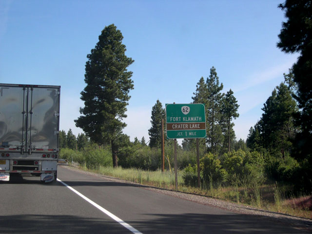
| After crossing the Williamson River, northbound U.S. 97 encounters this one mile advance sign for OR 62. Prior to the completion of OR 140 which furnished a more direct link between Medford and Klamath Falls, OR 62 provided a longer--but some might say more scenic--route to Medford and the Rogue Valley. Today the highway carries traffic primarily headed to Crater Lake. 06/26/05 |
|
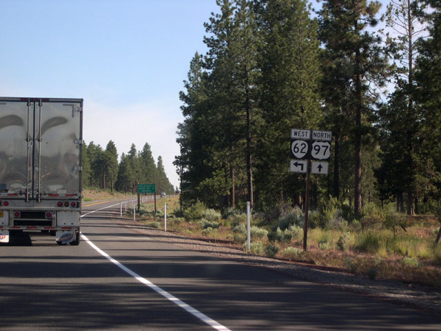
| U.S. 97 meets the eastern terminus of OR 62 at a narrow wye intersection. Northbound travelers bound for OR 62 must make a left turn across U.S. 97 onto the connector road and merge with westbound OR 62. 06/26/05 |
|
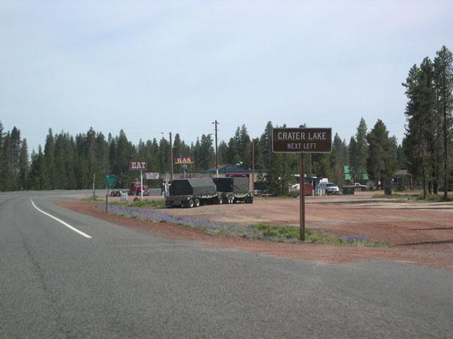
| OR 62 leads to Crater Lake National Park, passing through Fort Klamath along the way. After entering the park boundary, the highway meets the park's southern access road. Unlike the northern access road which departs from OR 138, the southern access is open year-round. 06/26/05 |
|
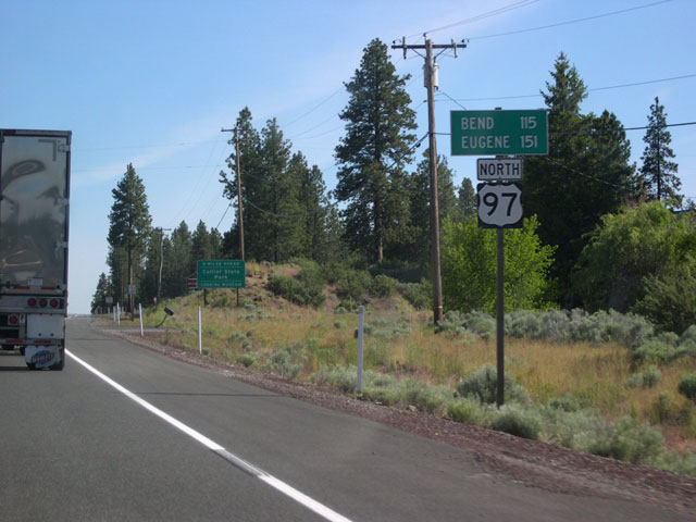
| Just past OR 62 is this distance sign, now showing distances to Bend and Eugene (Eugene is reached via OR 58). 06/26/05 |
|
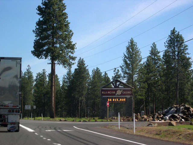
| Also situated just north OR 62 is the Kla-Mo-Ya Casino Indian Gaming Center. The casino's name is taken from the first few letters of the three tribes that operate it: the Klamaths, the Modocs, and the Yahooskin. 06/26/05 |
|
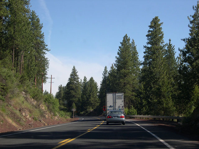
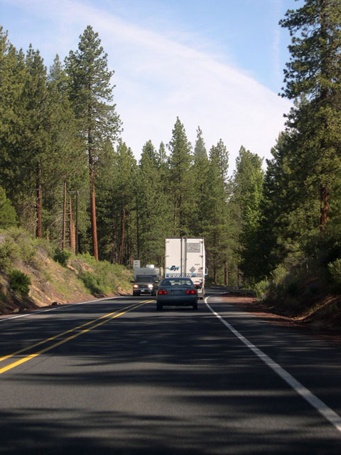
| Passing lanes for both sides of U.S. 97 are provided just south of Chiloquin. Except for brief stretches like this now and then, travel along the US highway is mostly restricted to two lanes. 06/26/05 |
|
| The small community of Chiloquin, pop. 716 according to the 2000 U.S. Census (though the town claims twice that figure owing to a surveyor's error), resides about a mile east of U.S. 97 at the confluence of the Williamson and Sprague rivers. The Chiloquin Highway, seen here at its southern junction with U.S. 97, heads past the Chiloquin airport and into the town before returning to the US highway via Chocktoot Street. The town of Sprague River lies further east along the Sprague River Highway which departs from Chiloquin. 06/26/05 |
|
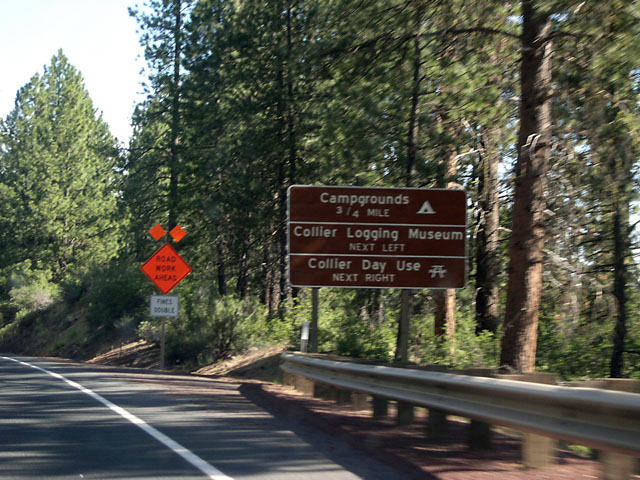
| Collier Memorial State Park is located along U.S. 97 south of Sun Mountain and features both camping and day-use facilities. The park is nestled among tall ponderosa pines that border a peaceful stretch of the Williamson River. The Collier Logging Museum, which features outdoor displays of historic logging equipment, is directly across the highway from the day-use section. 06/26/05 |
|
| Travelers reenter the Winema National Forest north of Chiloquin on the approach to Collier Summit. A chain-up area advisory sign (third image) is posted next to the highway just south of the grade; the elevation at the summit is 4,591 feet, so snow is typically an issue with winter driving. 06/26/05 |
|
| U.S. 97 northbound departs the Klamath Basin near Sun Mountain where it climbs the most significant grade it has encountered since entering the state of Oregon. Still, elevation change from bottom to top is only about 350 feet. 06/26/05 |
|
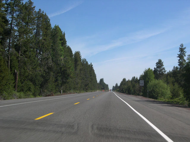
| Once at the top of Collier Summit, U.S. 97 stretches straight ahead for miles through the high-elevation pumice plateau of south-central Oregon. The pumice was deposited by the catastrophic eruption of Mount Mazama 7,700 years ago; the same eruption that formed the caldera that is now Crater Lake. Cold air draining into the numerous shallow basins scattered throughout the mostly level terrain may be one factor responsible for the dominance of lodgepole pine here; lodgepole seedlings are generally more cold-tolerant than those of ponderosa pine.1 06/26/05 |
|
| U.S. 97 again exits the Winema National Forest and meets Silver Lake Road at this intersection near Sand Creek. Silver Lake Road heads east and passes through the Klamath Marsh National Wildlife Refuge>, eventually leading to the small community of Silver Lake (OR 31). The west side of the intersection is Boundary Road, an unpaved route linking U.S. 97 and the Sun Mountain Highway. 06/26/05 |
|
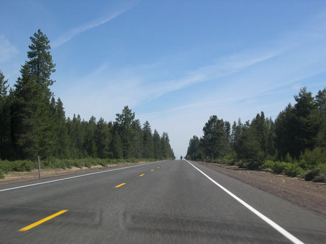
| The stretch of U.S. 97 from Collier Summit to OR 58 can be very monotonous as the highway runs nearly arrow-straight through unbroken forests of scrubby lodgepole pine, locally known as "lodgepole flats." Occasional wide curves do little to break up the brain-numbing sameness. Passing can be tricky as it is sometimes difficult to accurately judge the distance of oncoming traffic, especially on warm days when optical distortions obscure details on the road ahead. 06/26/05 |
|
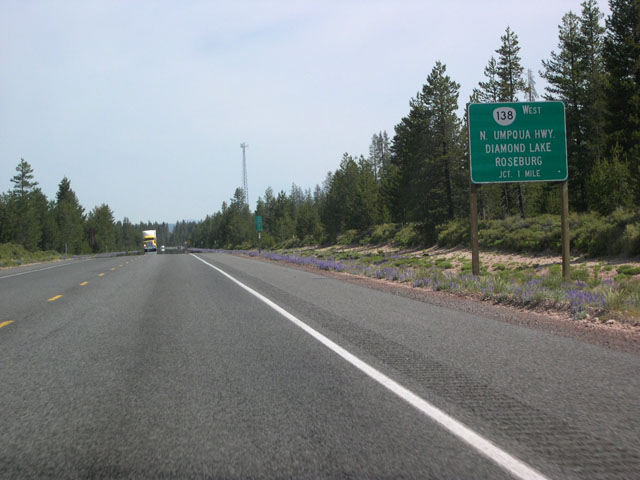
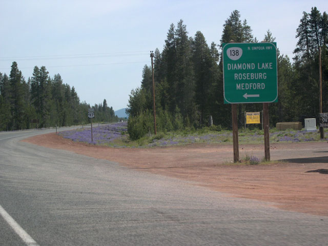
| Prior to the Diamond Lake Junction, northbound U.S. 97 encounters this one mile advance sign for OR 138 (westbound to Diamond Lake, Crater Lake, and Roseburg). The second photo shows a brown sign for Crater Lake National Park; a few miles west of its junction with U.S. 97, OR 138 intersects with the park's northern access road. 06/26/05 |
|
| A simple left turn across U.S. 97 at the Diamond Lake Junction takes northbound motorists to westbound OR 138; traffic on southbound U.S. 97 gets a merging lane. OR 138 heads to the eastern shore of Diamond Lake and then crosses the Cascade Divide to follow a very scenic route along the North Umpqua River, meeting Interstate 5 at Roseburg. 06/26/05 |
|
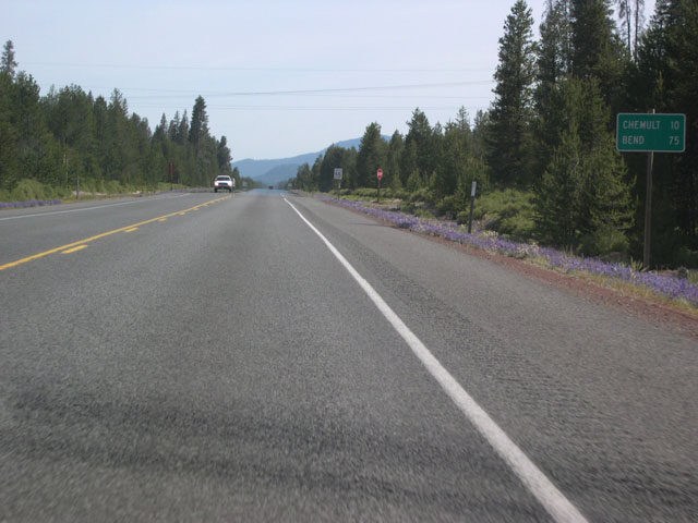
| Eugene is omitted on this distance sign posted past the OR 138 junction, but distances are given to Bend and the fast-approaching village of Chemult. 06/26/05 |
|
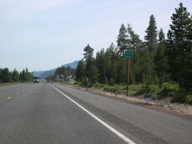
| Before reaching Chemult, U.S. 97 passes through the "don't blink or you'll miss it" settlement of Beaver Marsh near the junction with National Forest Road 86. 06/26/05 |
|
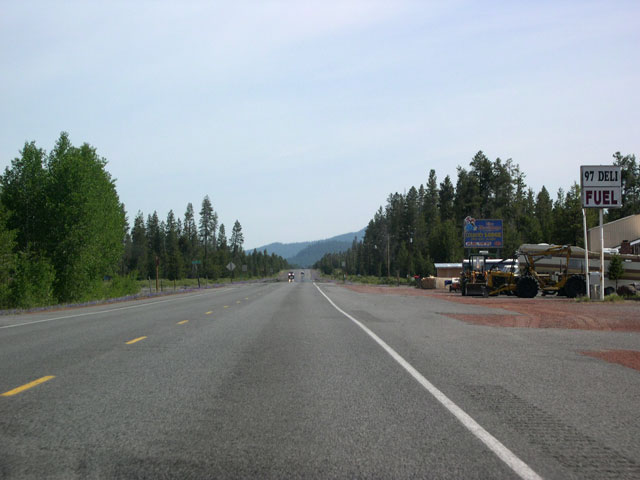
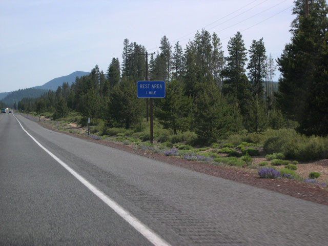
| Travelers wanting to stop to stretch their legs (and rest their eyes!) along this rather tedious segment of U.S. 97 can stop at the Beaver Marsh Rest Area five miles south of Chemult. 06/26/05 |
|
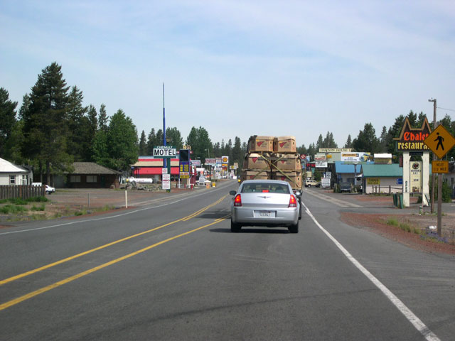
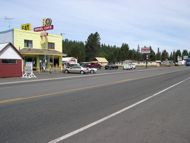
| Eight miles south of the Junction with OR 58, northbound U.S. 97 enters Chemult (population around 400 in 2005). The town offers restaurants, gas stations, and lodging amenities, as well as breaking up the seemingly endless monotony of the lodgepole pine forests. Chemult began its existence as a railroad stop along the Southern Pacific Cascade Line in 1926. The settlement is named after a Klamath Indian chief who signed the Treaty with the Klamath of October 14, 1864. 06/26/05 |
|
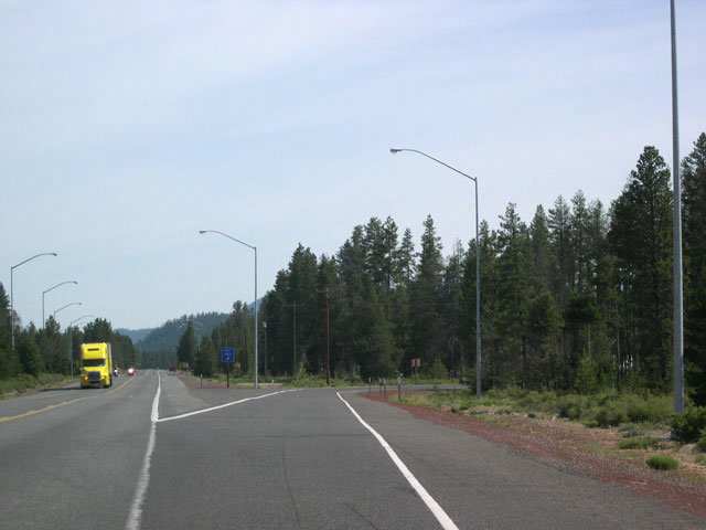
| Heading out of Chemult, U.S. 97 reenters the Winema National Forest and gets another set of passing lanes. The landscape looks pretty much the same as it did before entering the town. 06/26/05 |
|
| Approaching the junction with OR 58, Little Walker Mountain (background) adds a bit of visual spice to the horizon. 06/26/05 |
|
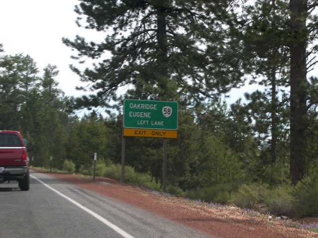
| Northbound U.S. 97 approaches OR 58 (Willamette Highway) just past Little Walker Mountain. Signs advise traffic headed for Oakridge and Eugene to keep left. OR 58 crosses the Cascade Range at Willamette Pass (elevation 5,128 feet); Eugene is about 90 miles distant from the junction. 06/26/05 |
|
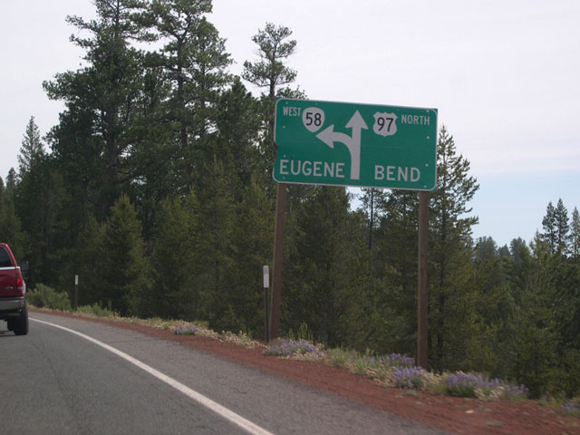
| The Dalles-California Highway meets the Willamette Highway (OR 58) at a wye interchange. U.S. 97 temporarily splits into two roadways and northbound motorists heading to Eugene take a left exit and cross over the southbound roadway before merging onto the Willamette Highway. 06/26/05 |
Page Updated 01-10-2006.

 north
north