
 North
North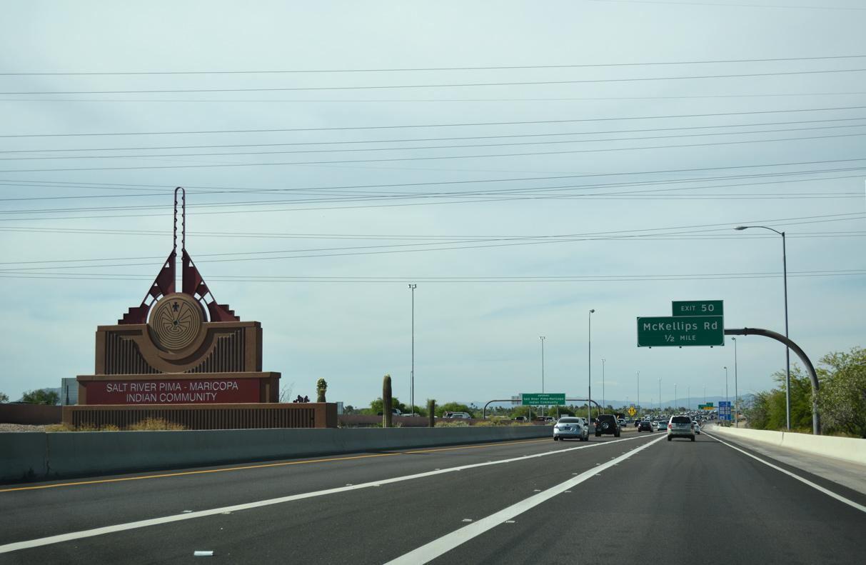
The first nine miles of the Pima Freeway (Loop 101) travels within the Salt River Pima-Maricopa Indian Community. Eight years of negotiations between the Tribe, city and state officials resulted in the freeway traversing Indian owned lands.
04/26/17
04/26/17
04/26/17
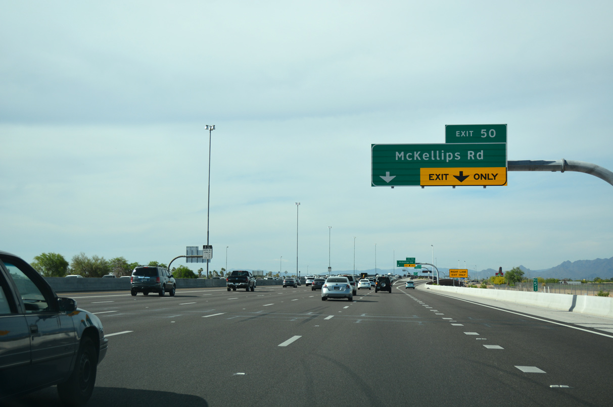
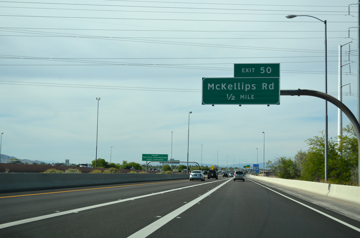
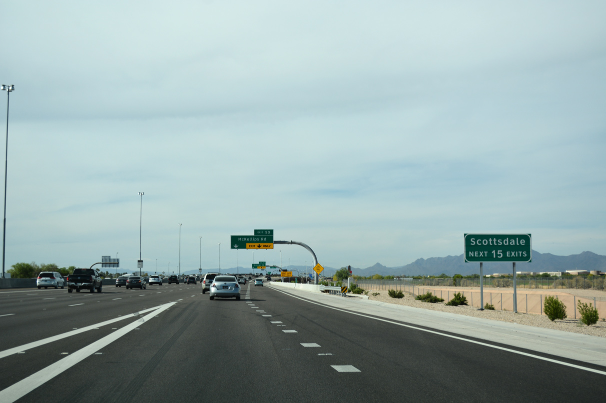
Loop 101 north swells to seven travel lanes ahead of a diamond interchange (Exit 50) with McKellips Road.
04/26/17

04/26/17
04/26/17
04/26/17
04/26/17
04/26/17
04/26/17
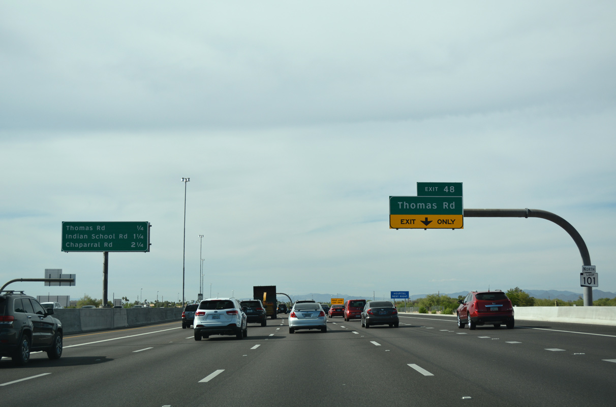
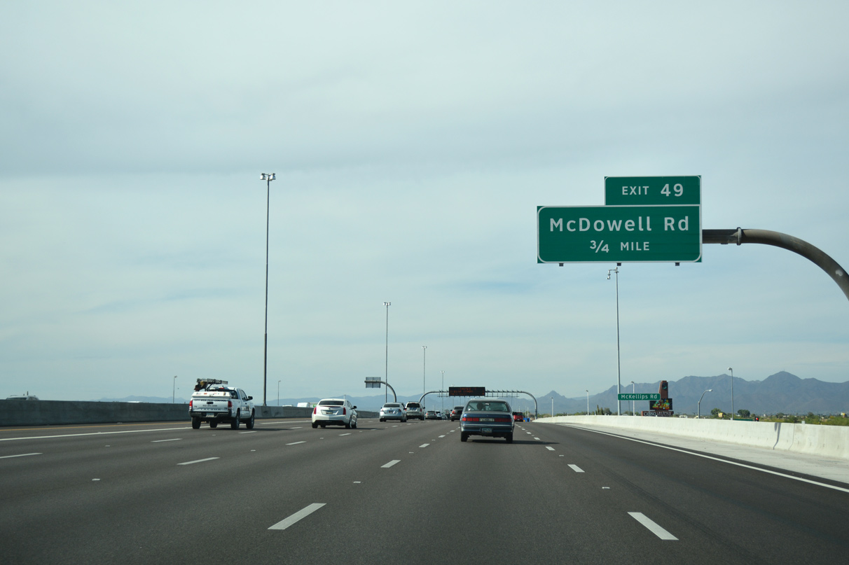
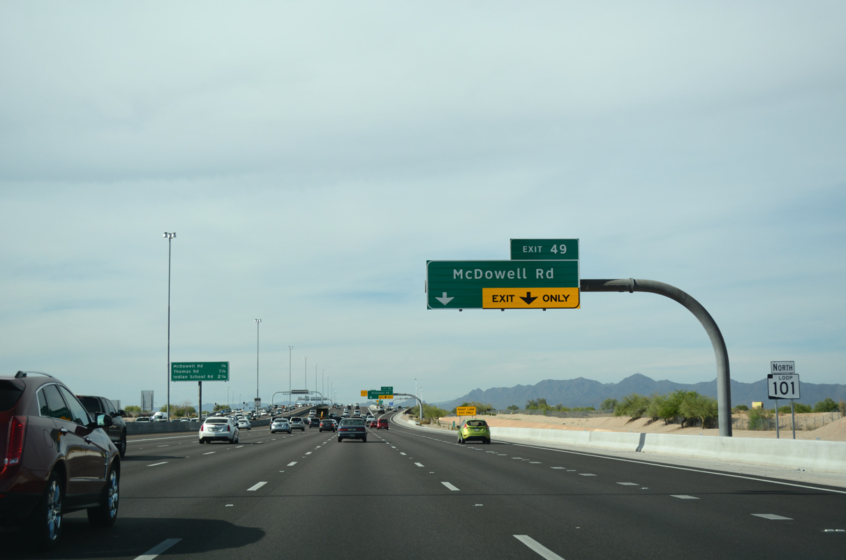
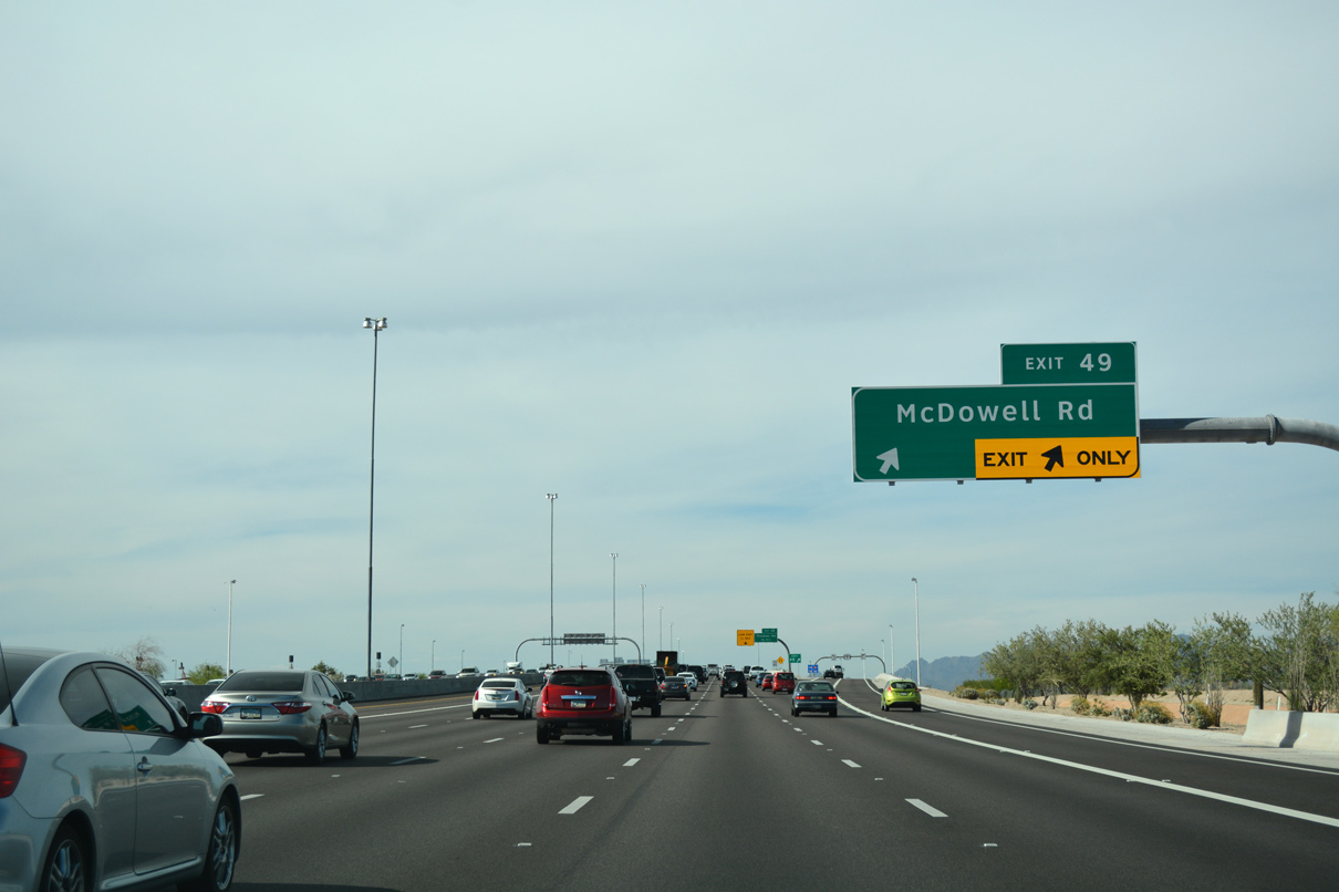
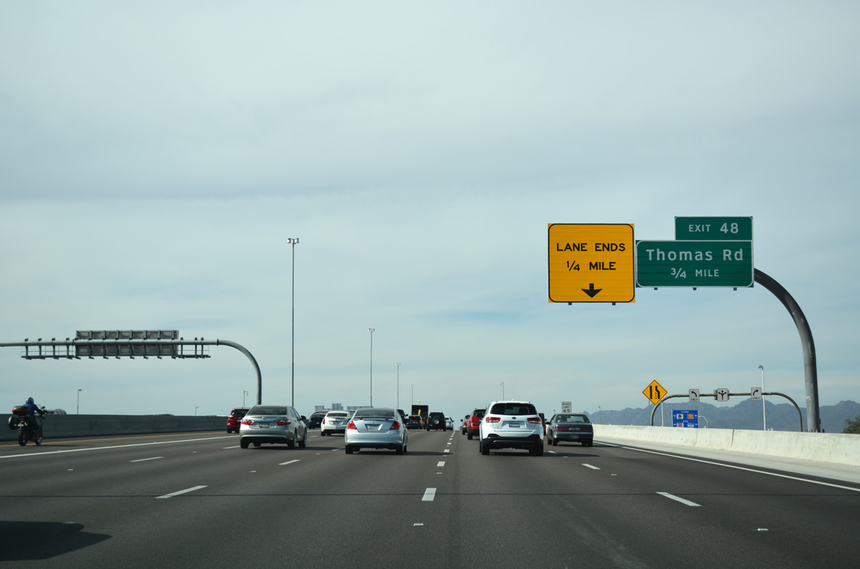
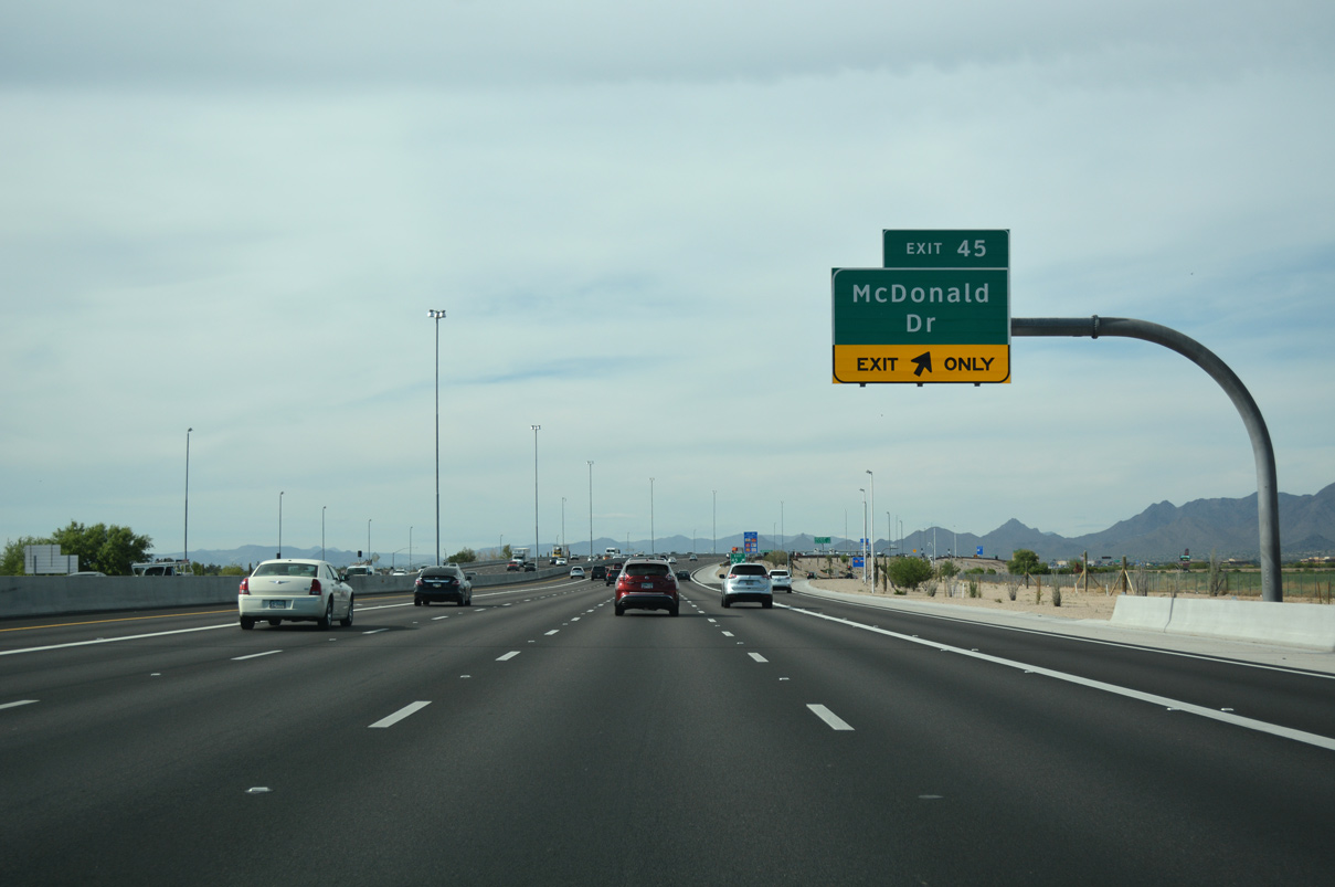
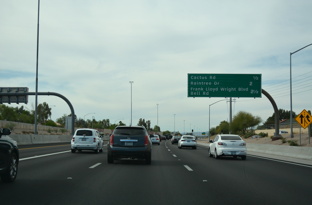
The Pima Freeway (Loop 101) advances north from McDowell Road (Exit 49) to Thomas Road next.
04/26/17
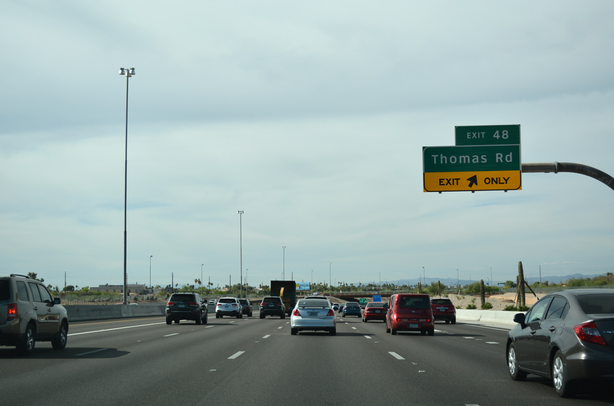
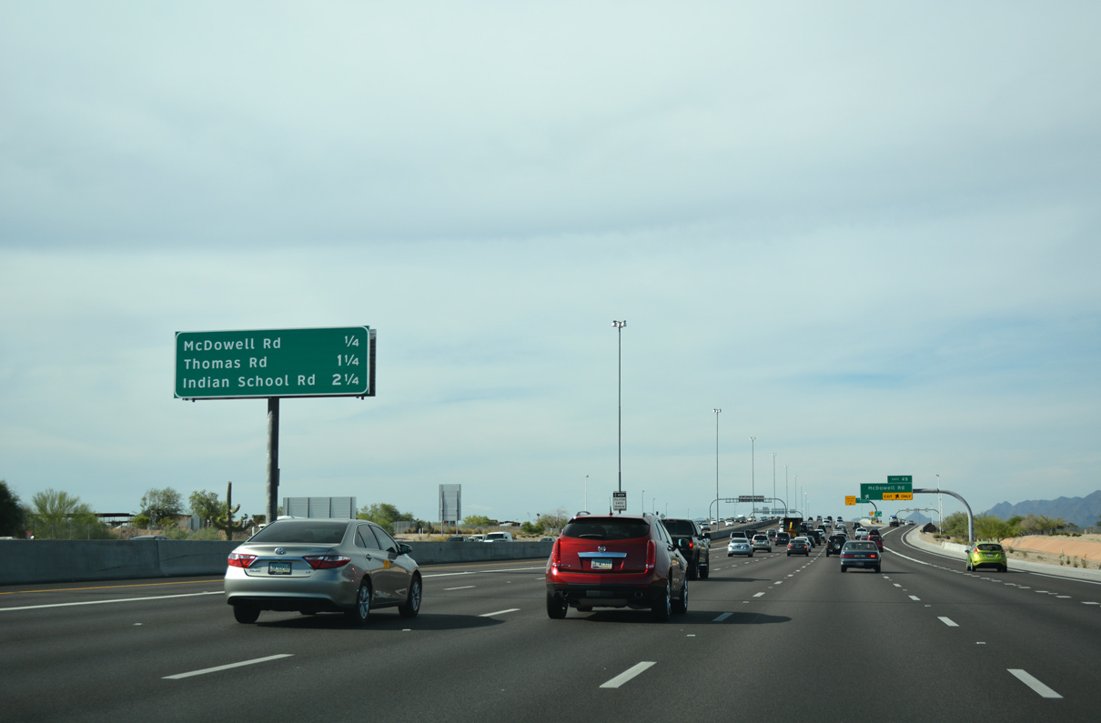
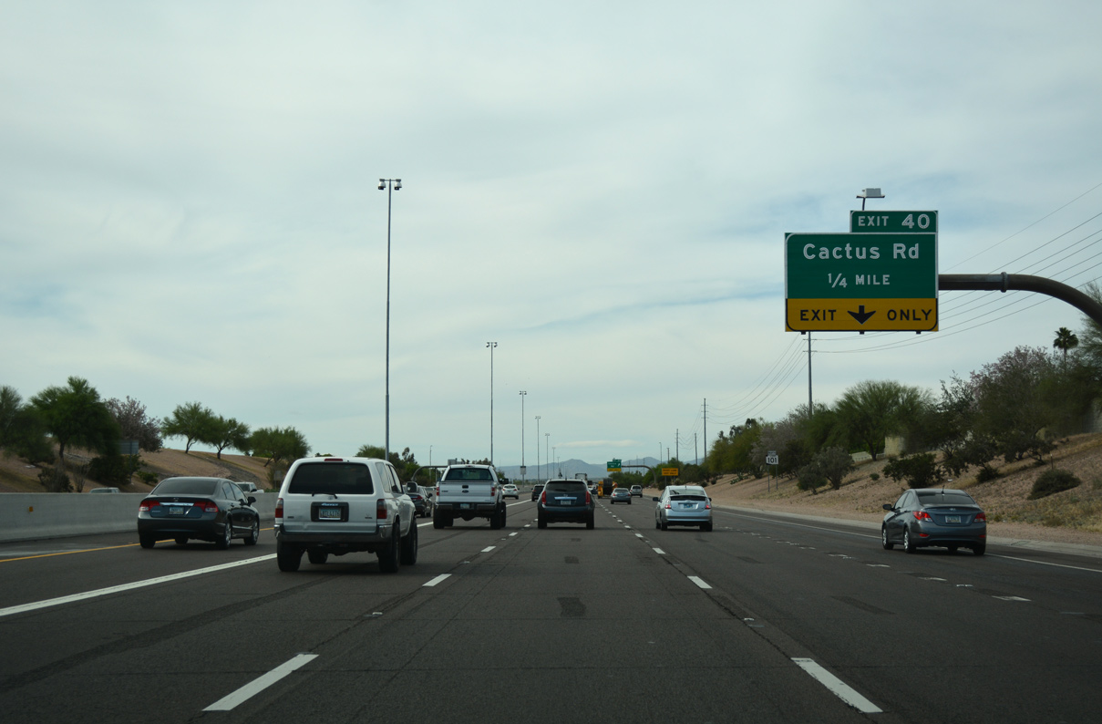
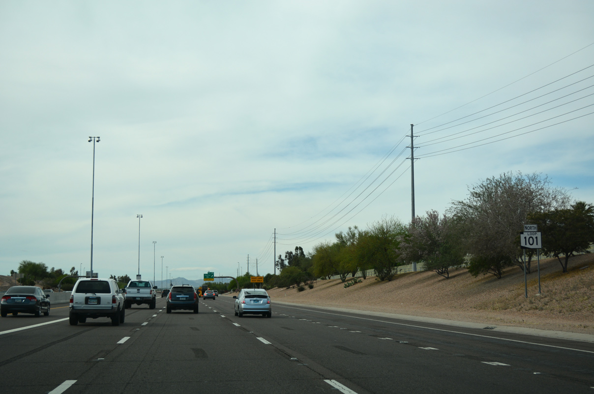
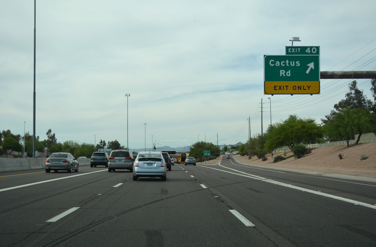
Average annual daily traffic (AADT) counts along the ensuing stretch of Loop 101 (Pima Freeway) topped out at 187,218 in 2018.1
04/26/17
04/26/17
04/26/17
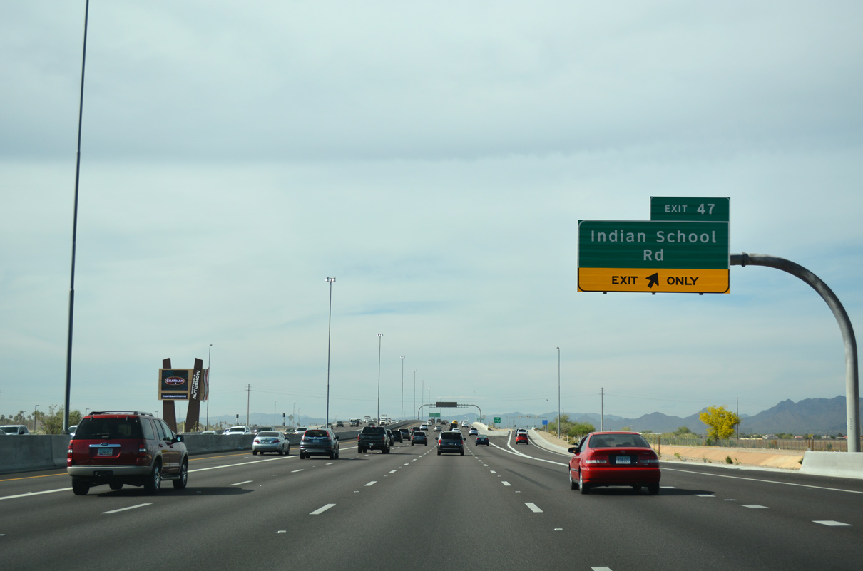
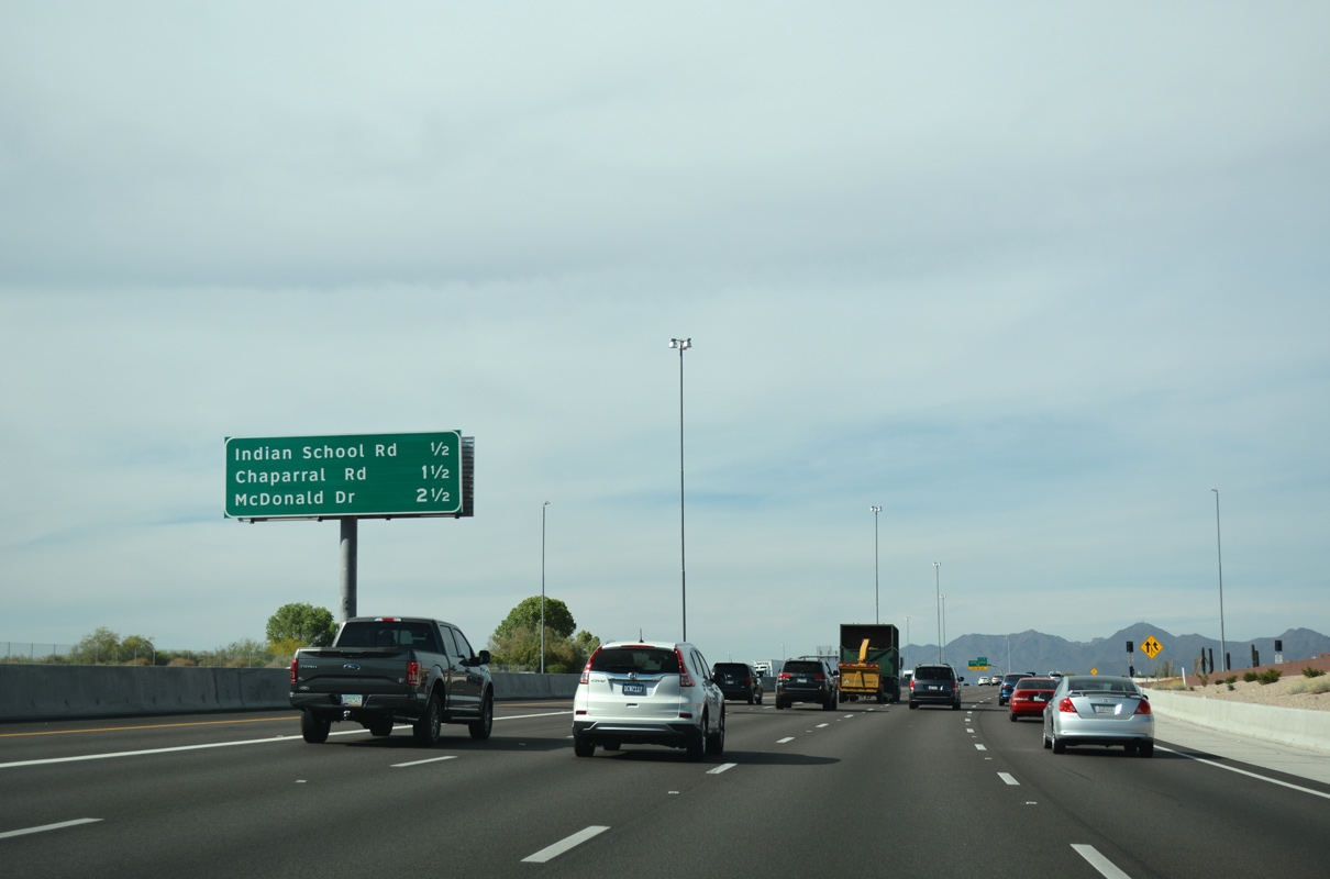
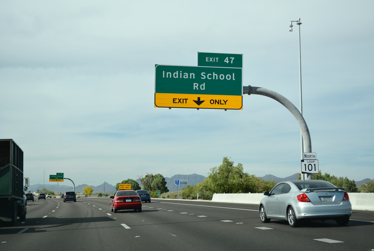
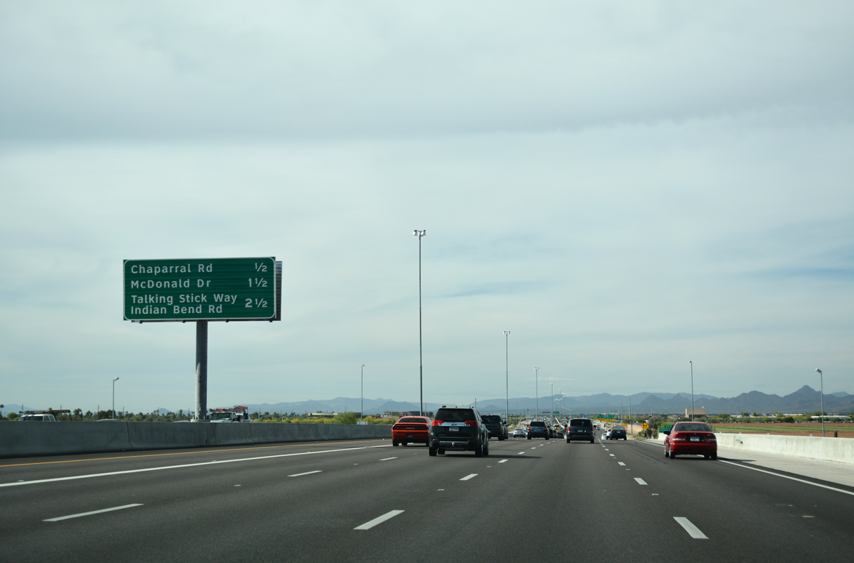
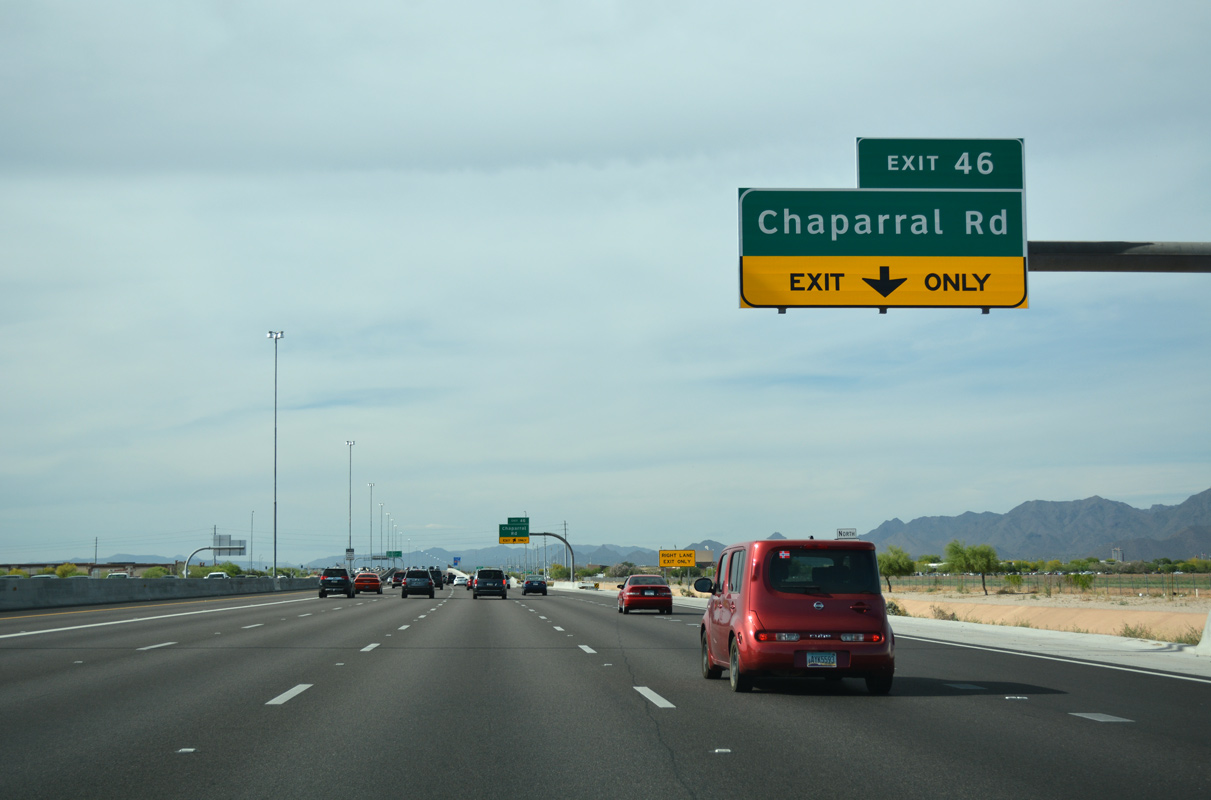
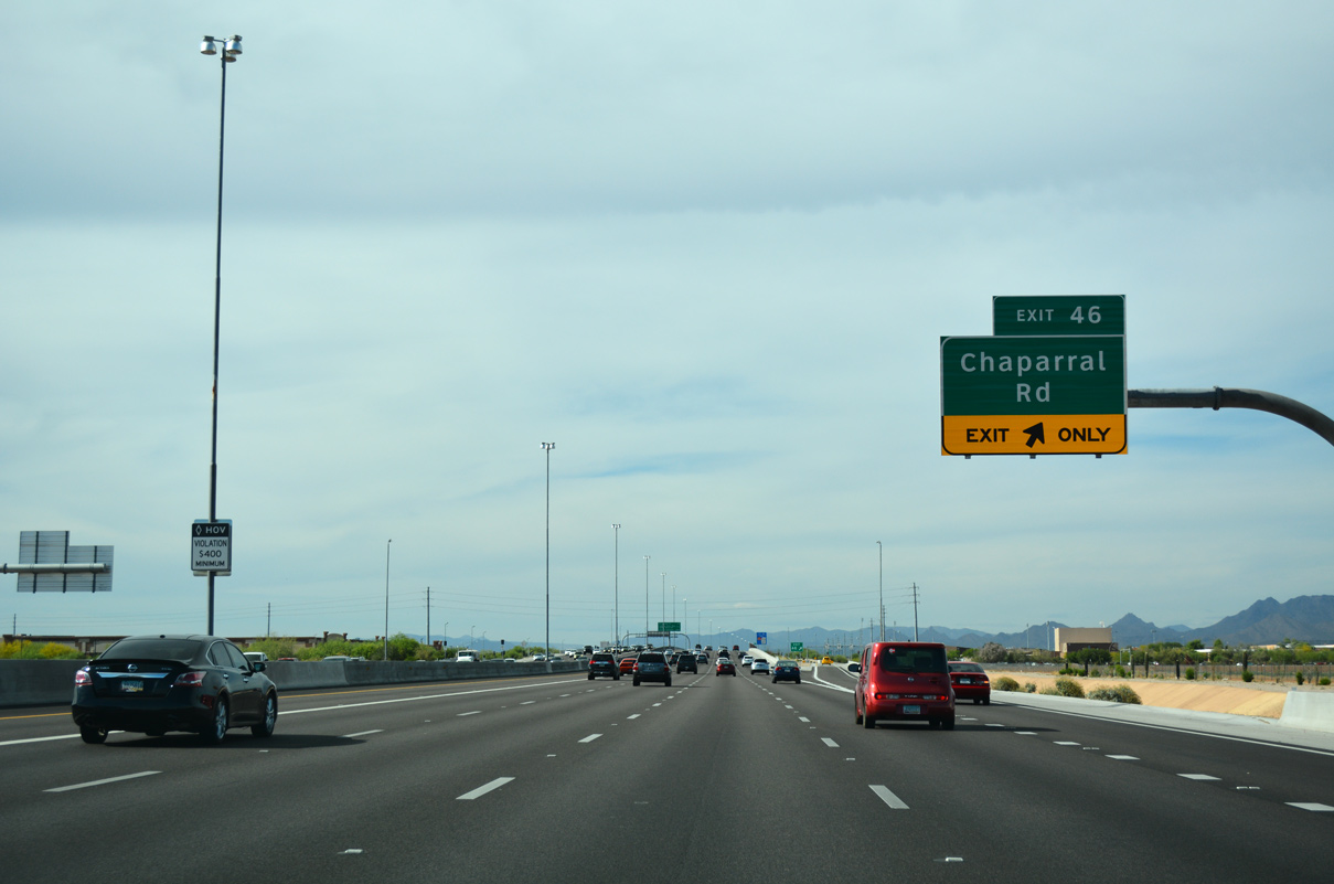
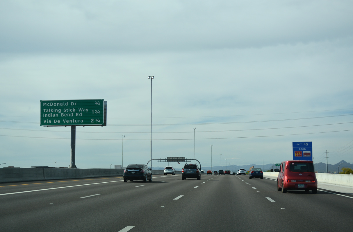
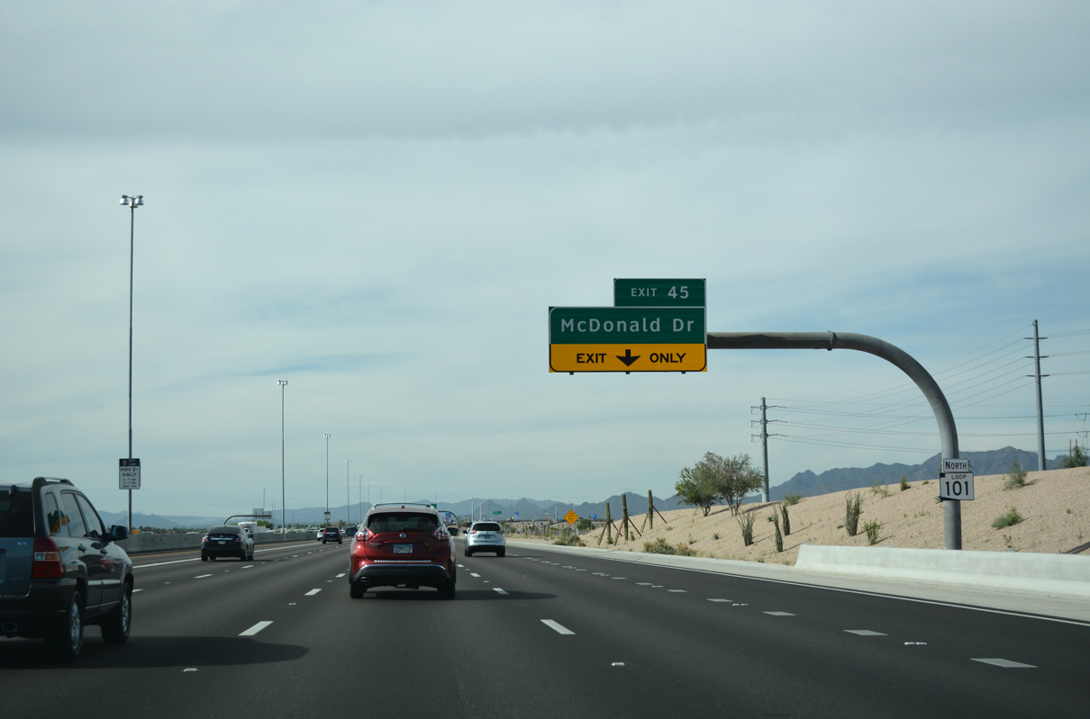
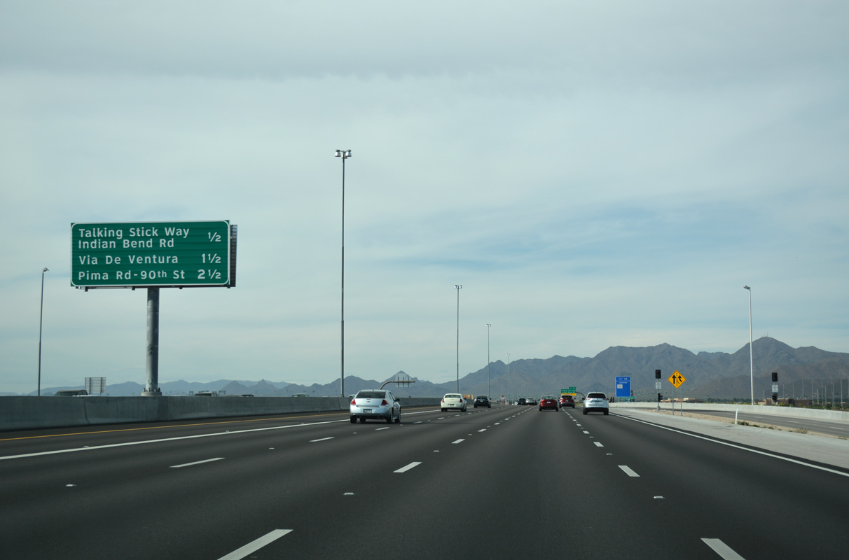
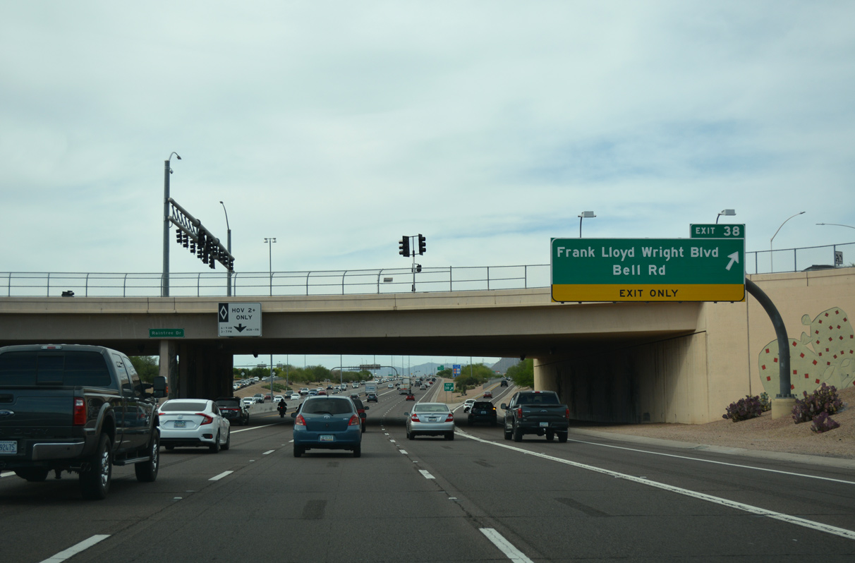
Indian School Road (Exit 47) joins Loop 101 (Pima Freeway) with the central business district of Scottsdale.
04/26/17
04/26/17
04/26/17
04/26/17
04/26/17
04/26/17
04/26/17
04/26/17
04/26/17
04/26/17
04/26/17
04/26/17
04/26/17
04/26/17
04/26/17
04/26/17
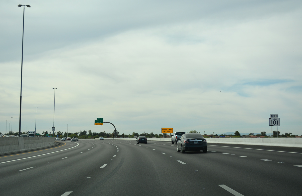
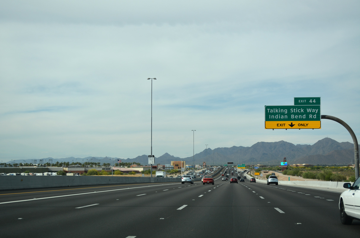
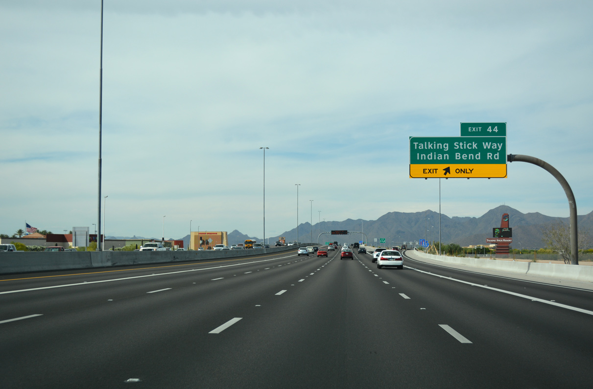
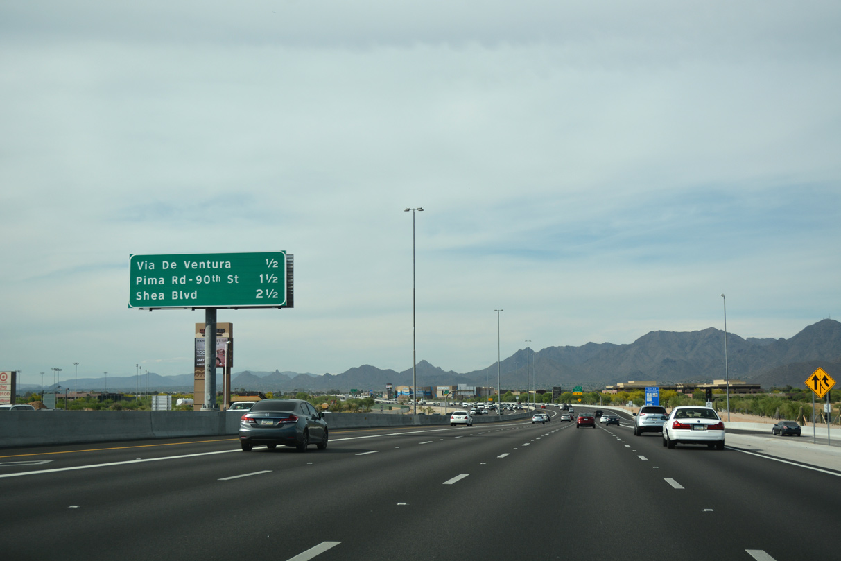
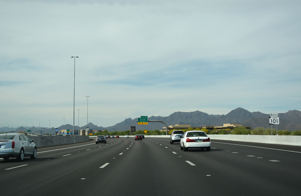
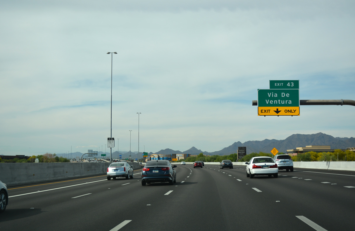
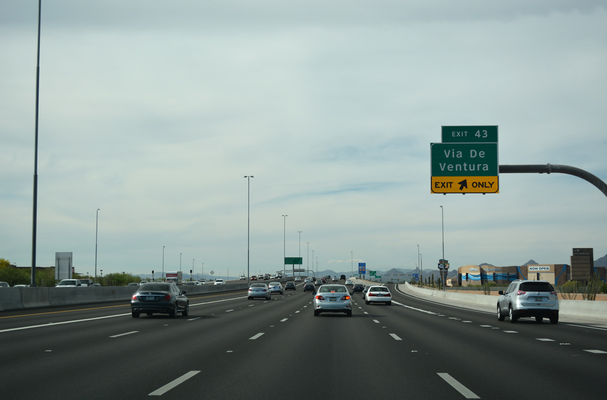
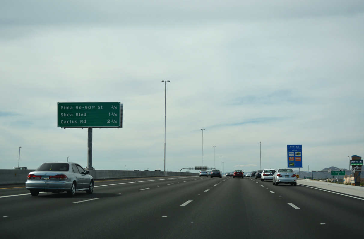
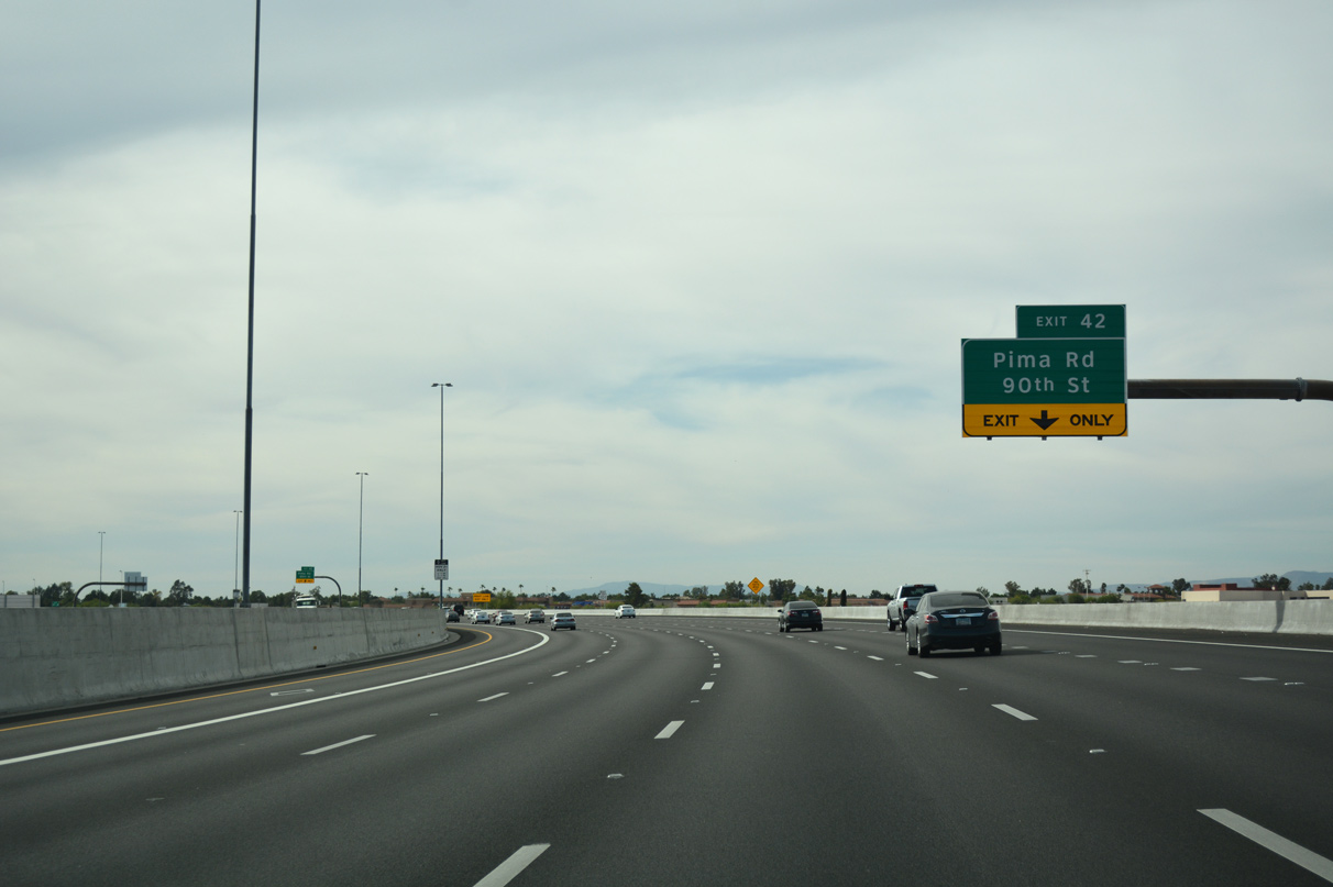
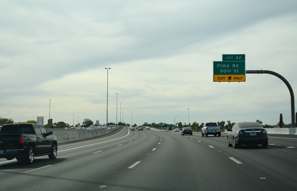
Loop 101 (Pima Freeway) shifts west ahead of the single point urban interchange (Exit 42) with Pima Road and 90th Street.
04/26/17
04/26/17
04/26/17
04/26/17
04/26/17
04/26/17
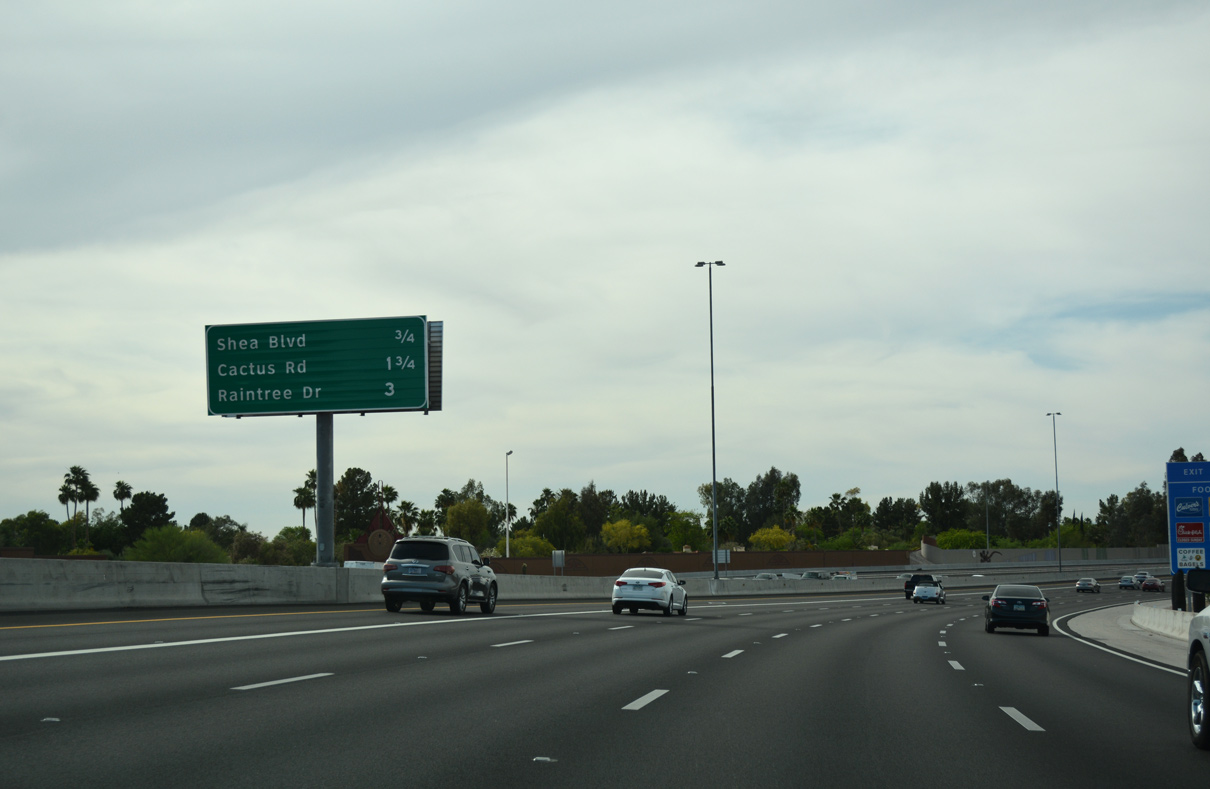
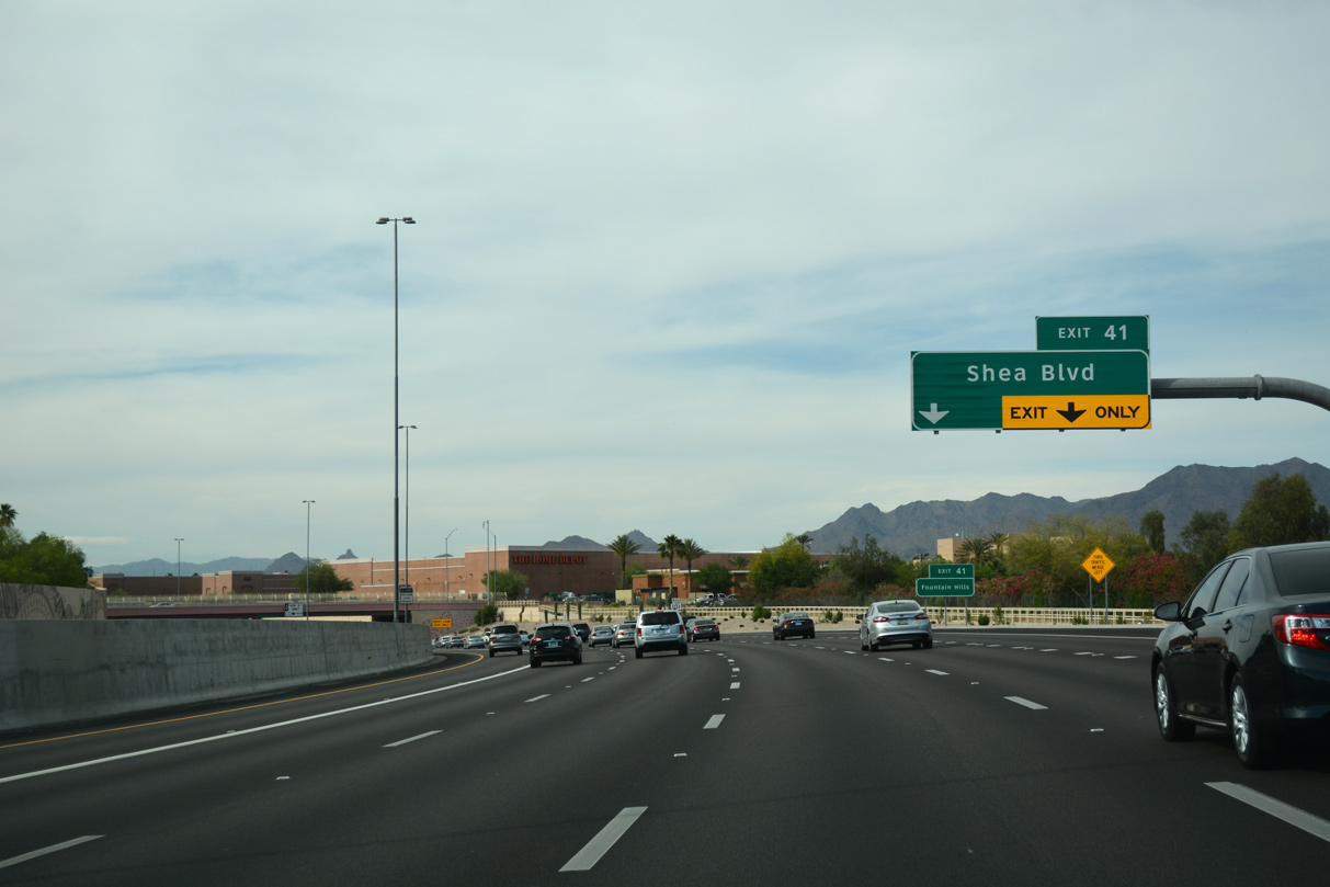
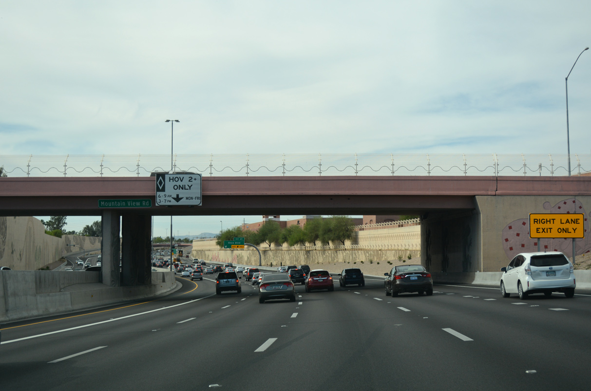
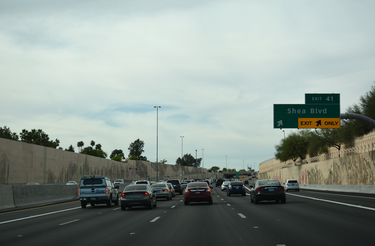
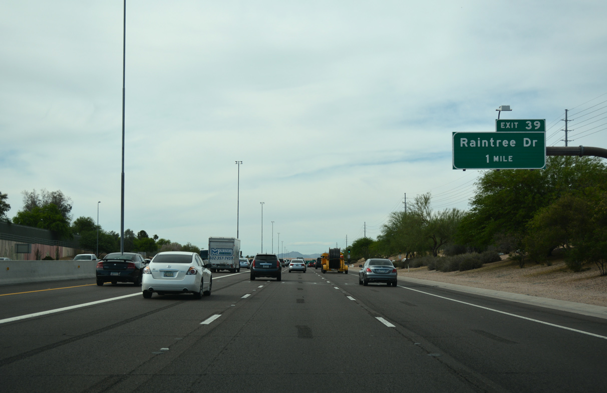
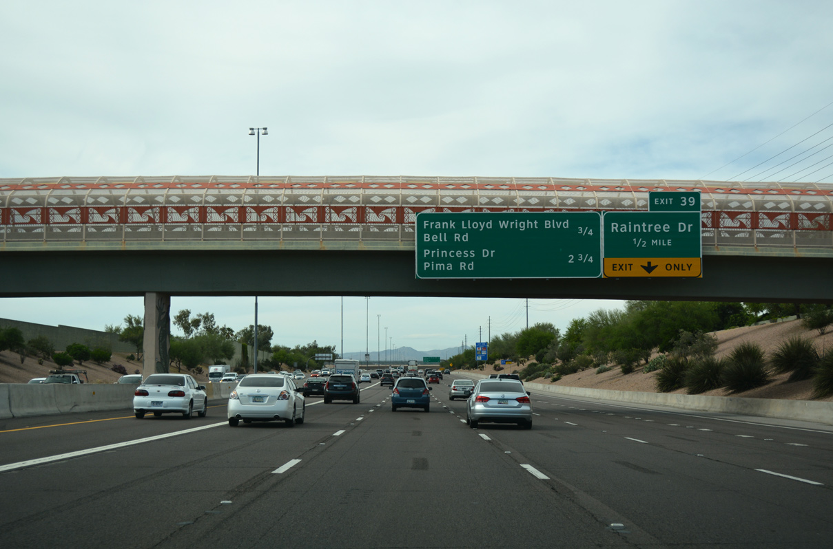
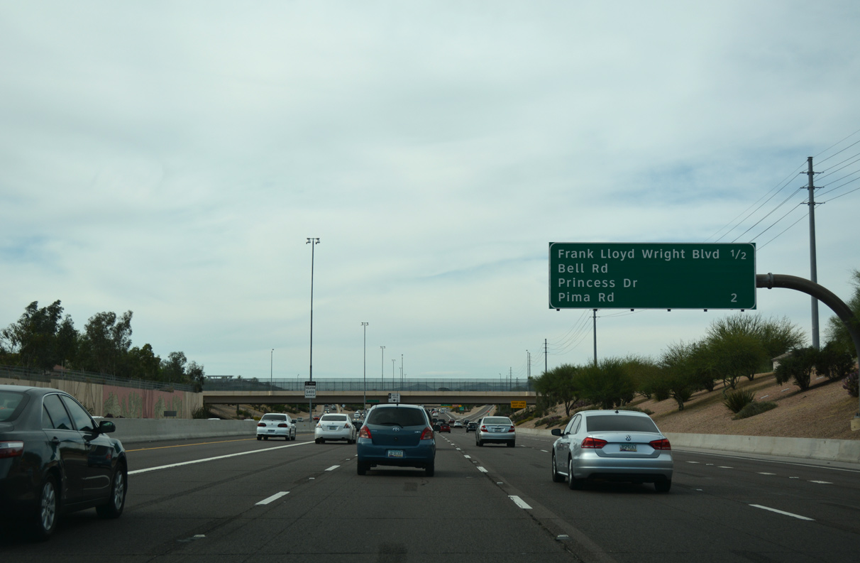
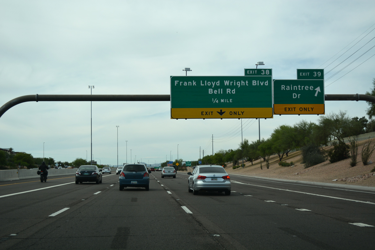
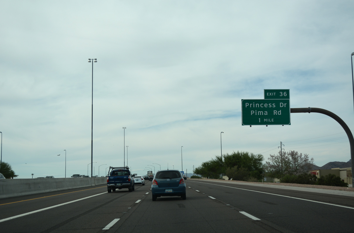
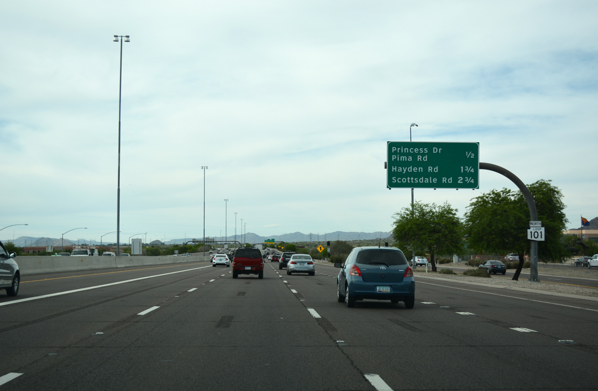
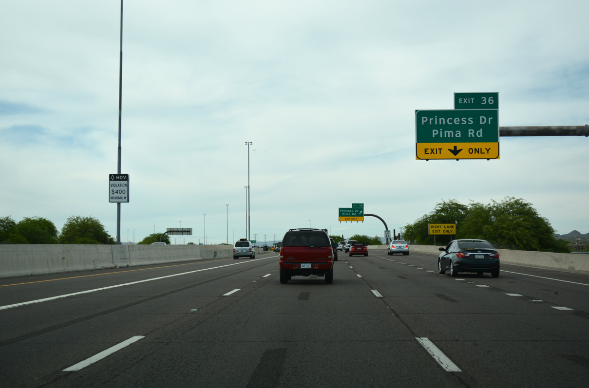
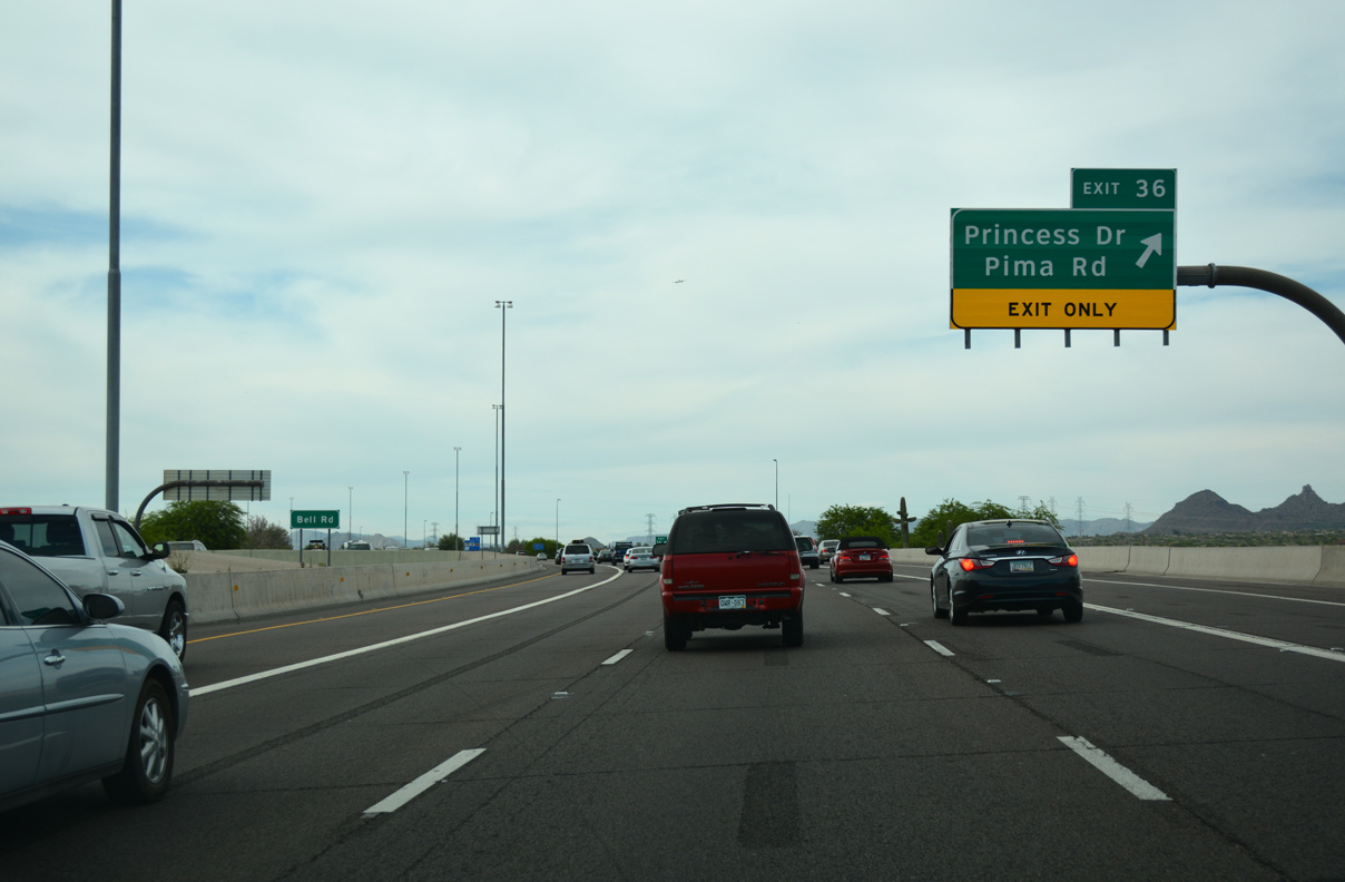
Loop 101 follows the original footprint of Pima Road between Shea Boulevard (Exit 41) and Princess Drive (Exit 36).
04/26/17
04/26/17
04/26/17
04/26/17
04/26/17
04/26/17
04/26/17
04/26/17
04/26/17
04/26/17
04/26/17
04/26/17
Pima Road branches north to the town of Carefree as the Pima Freeway (Loop 101) turns west toward northern reaches of Phoenix.
04/26/17
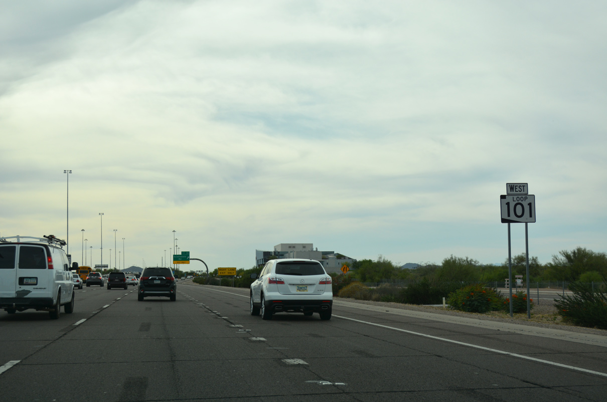
West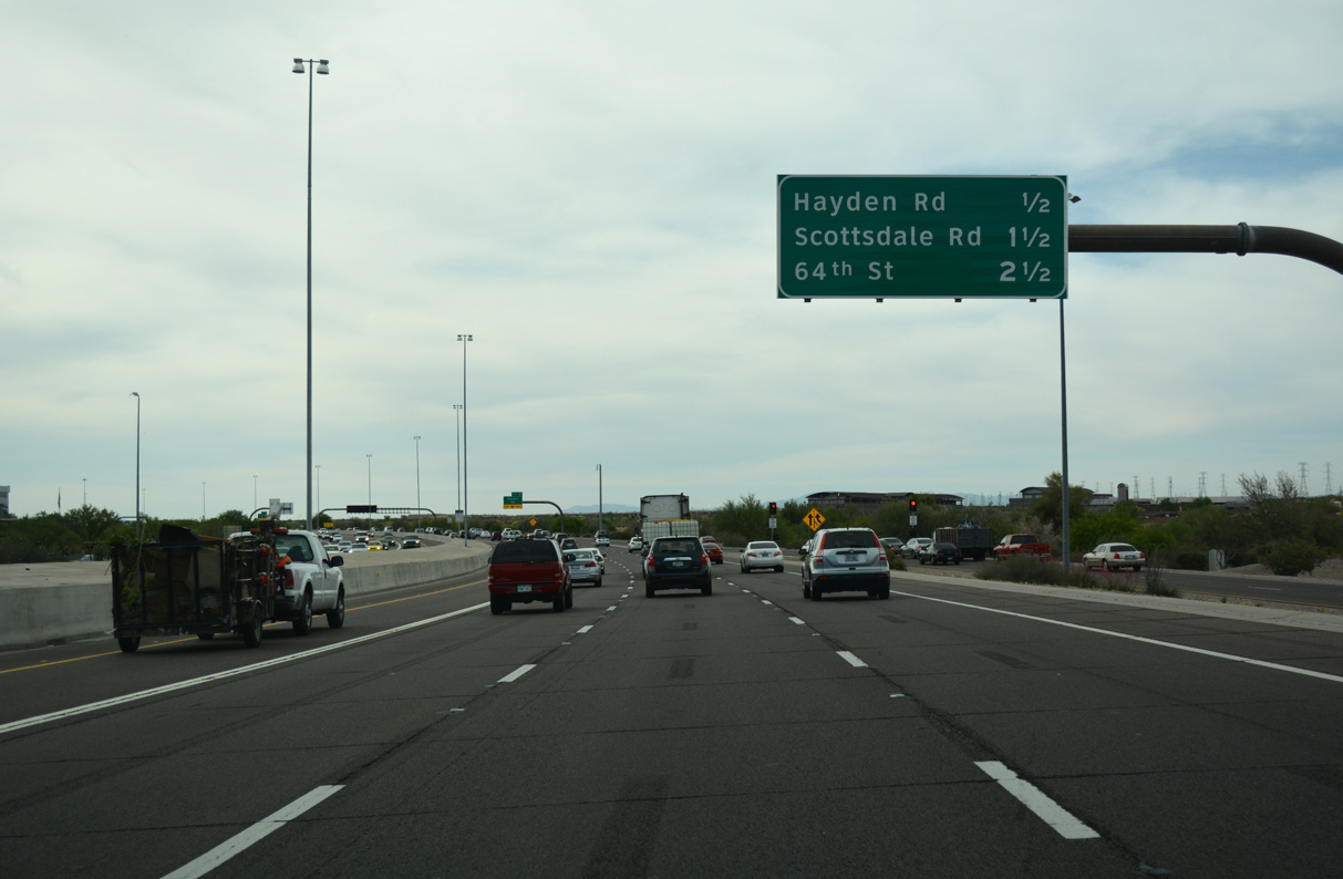
04/26/17
04/26/17
04/26/17
04/26/17
04/26/17
04/26/17
04/26/17
04/26/17
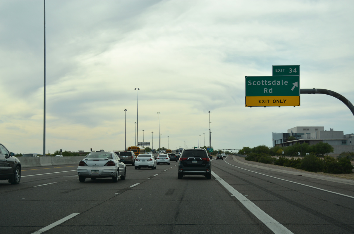
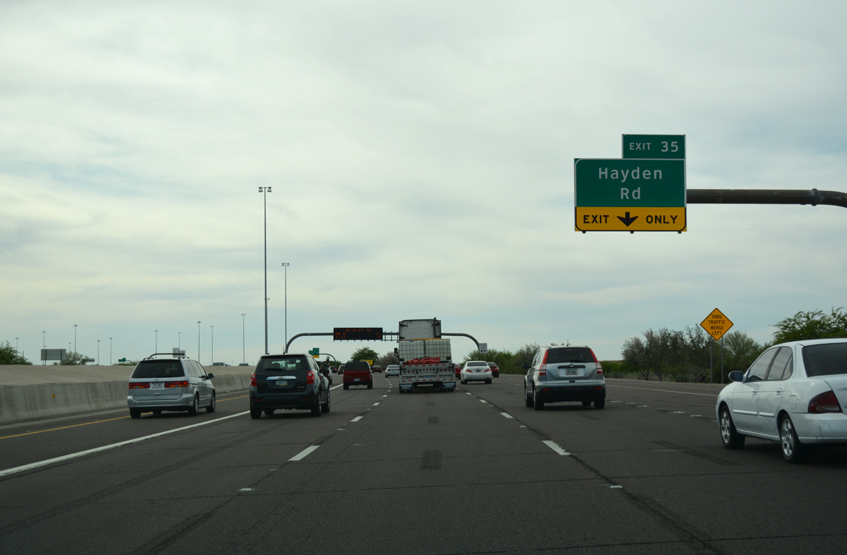
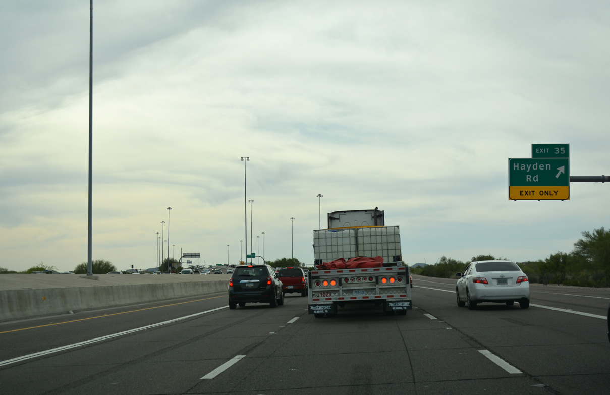
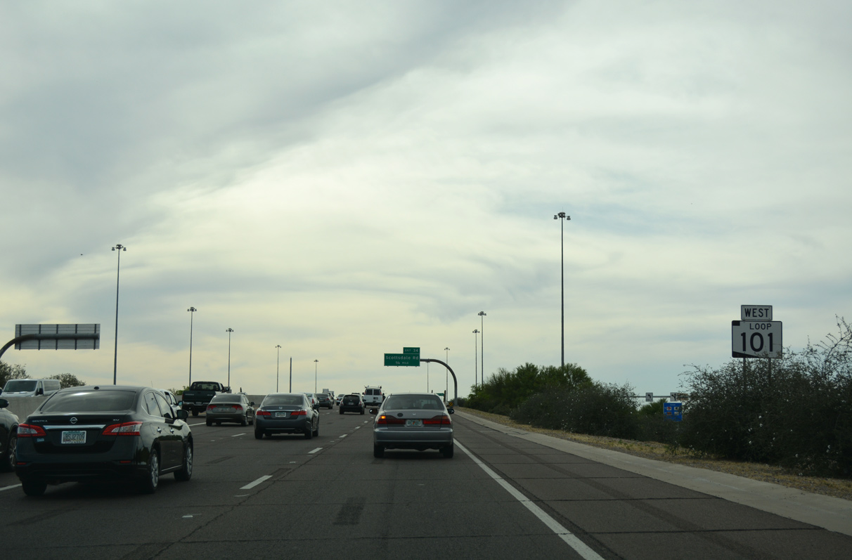
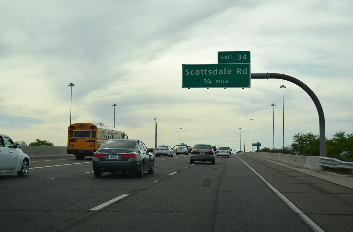
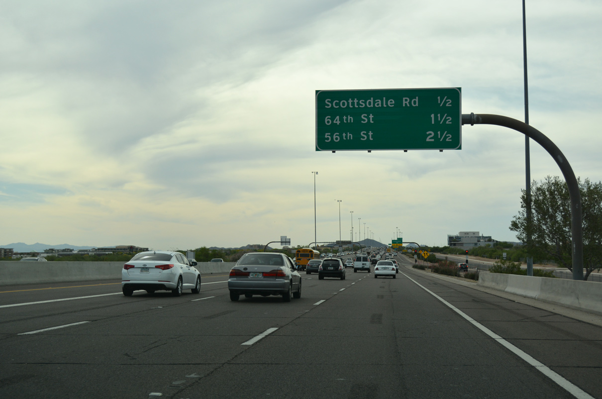
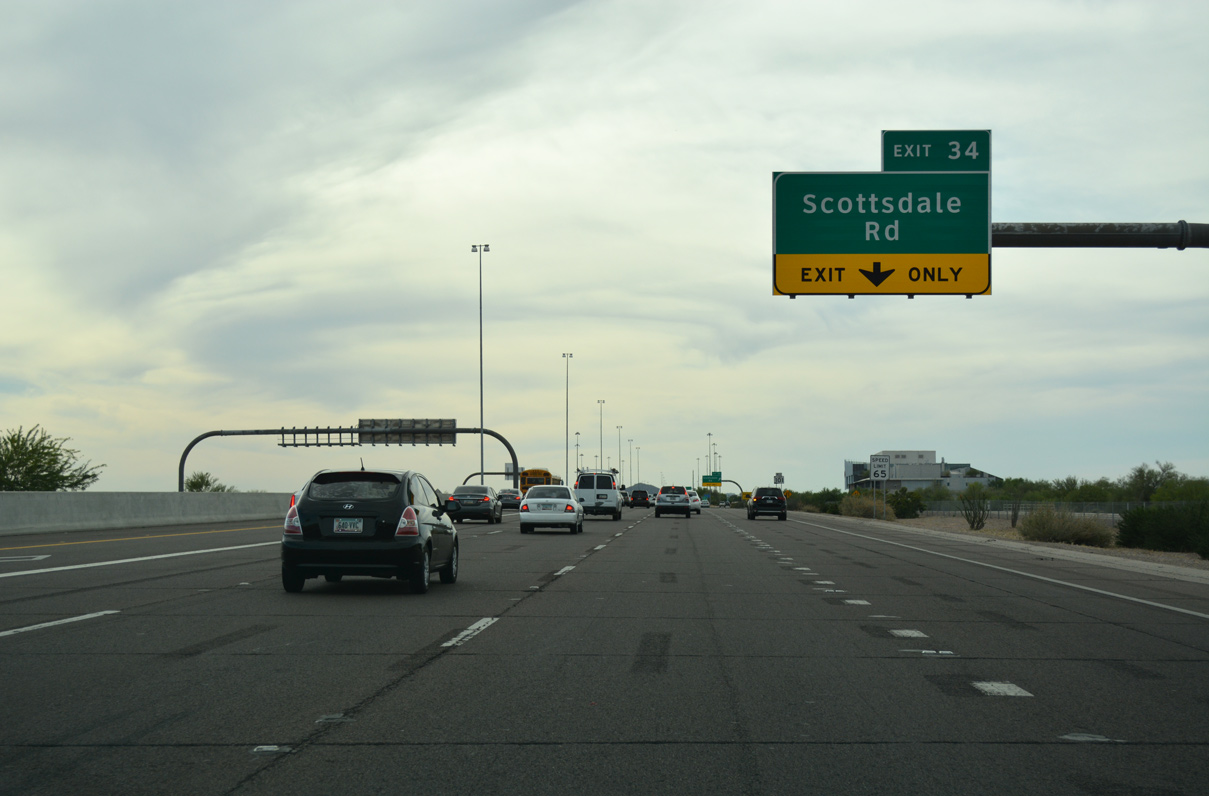
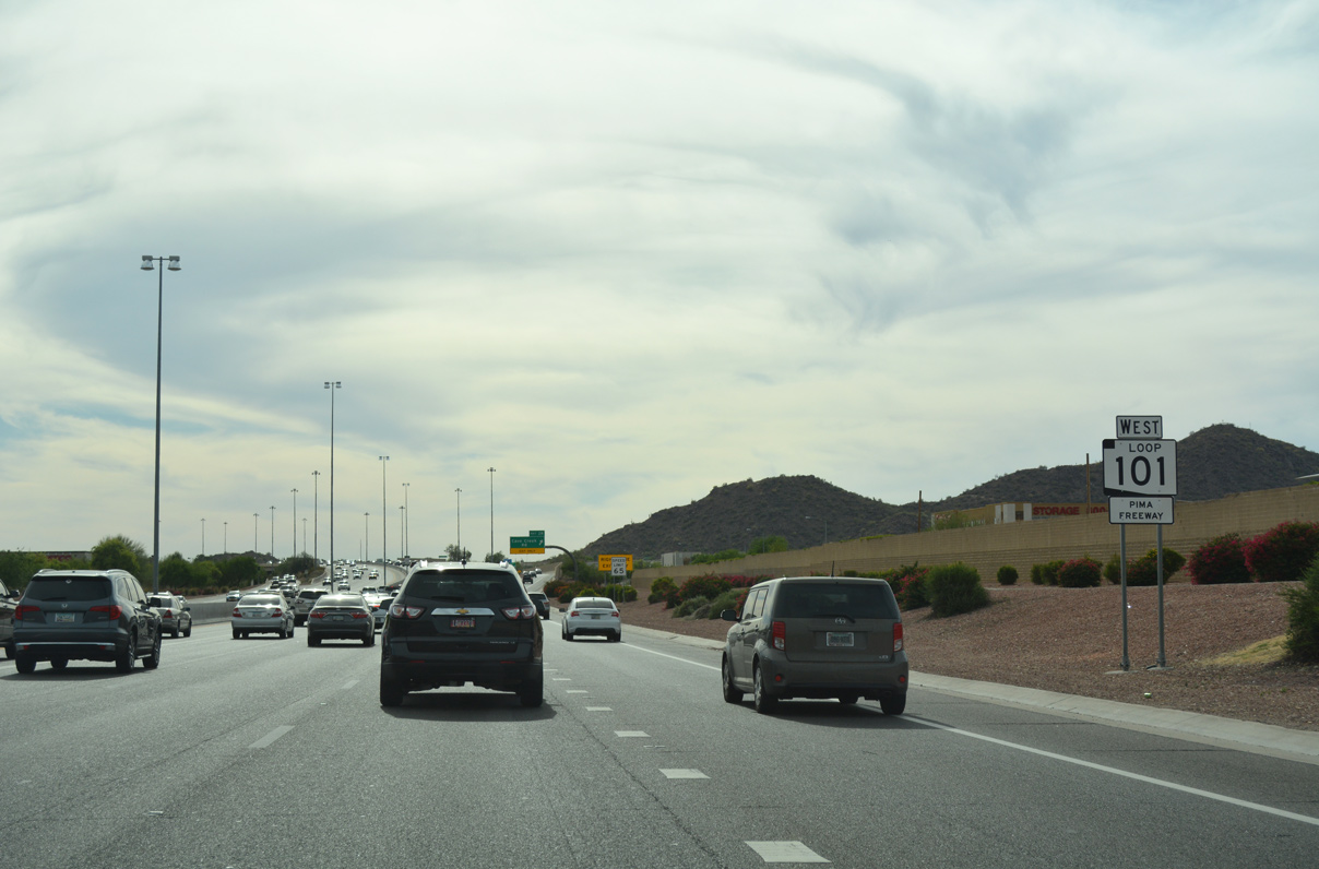
Loop 101 (Pima Freeway) west enters Phoenix at Scottsdale Road (Exit 34).
04/26/17
04/26/17
04/26/17
04/26/17
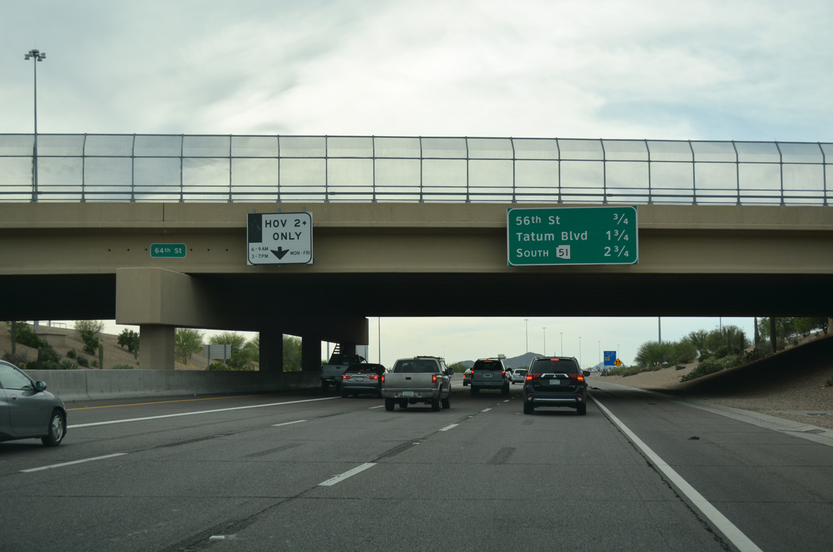
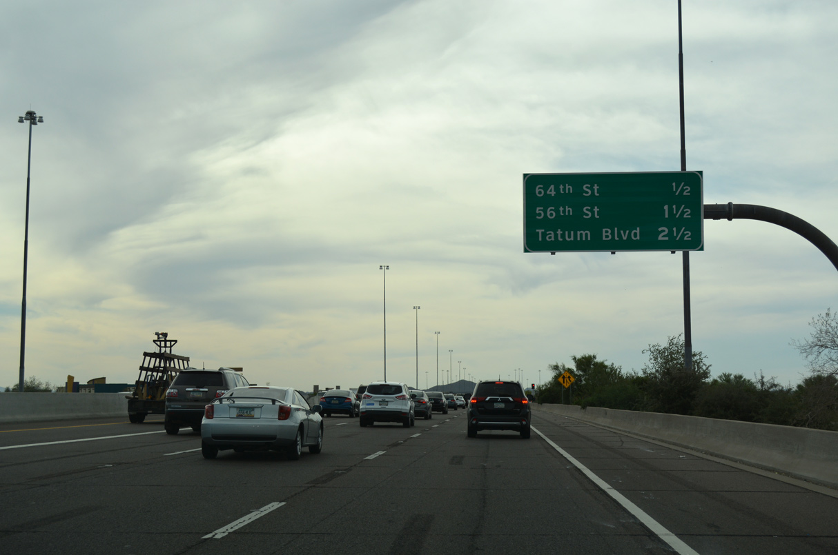
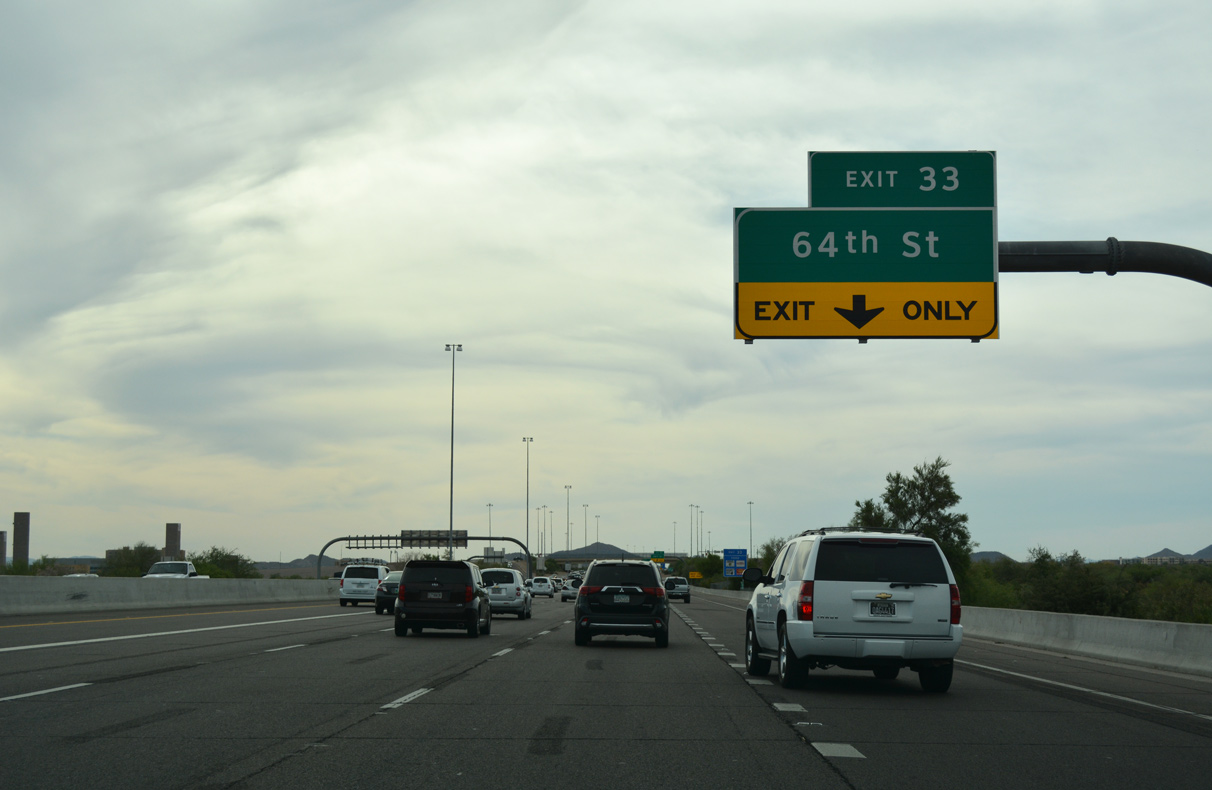
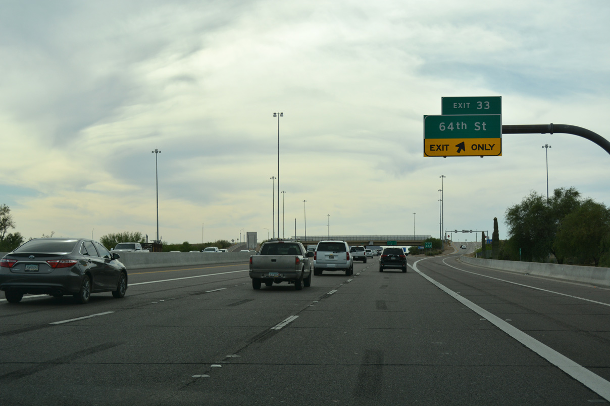
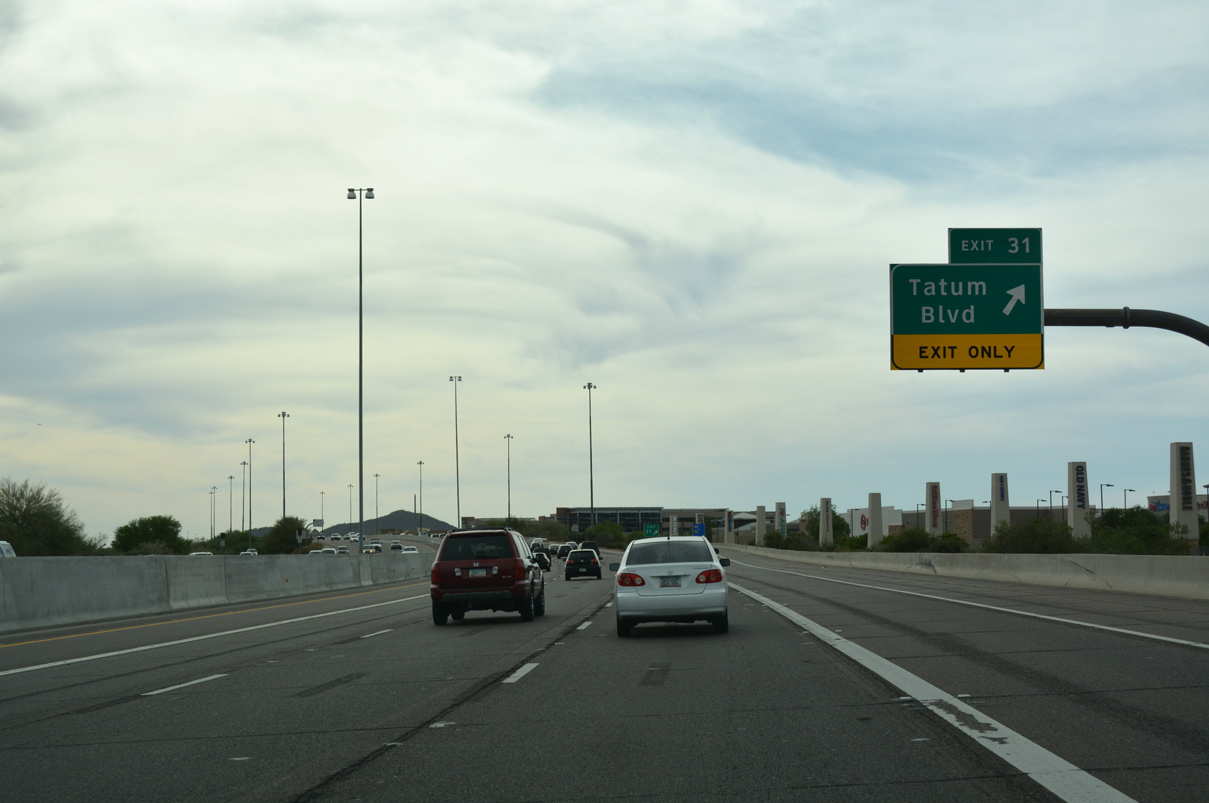
64th Street (Exit 33) spans the Pima Freeway 2.75 miles out from State Route 51 (Piestewa Freeway) south to Downtown Phoenix. 64th Street joins the freeway with Mayo Boulevard.
04/26/17
04/26/17
04/26/17
04/26/17

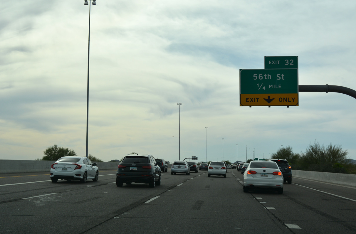
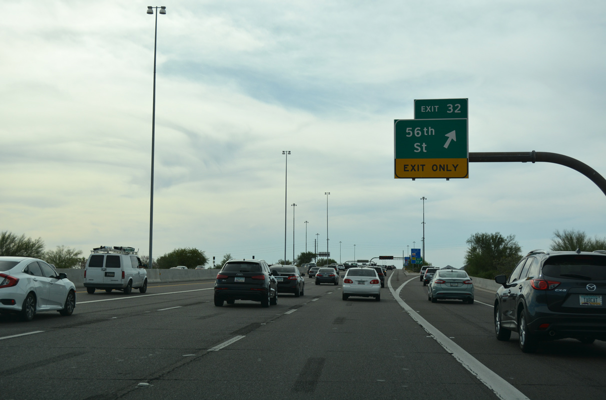
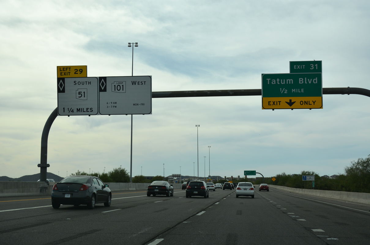
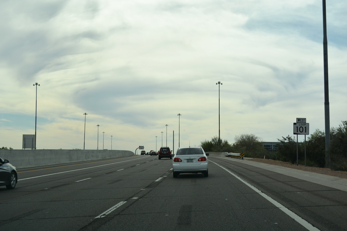
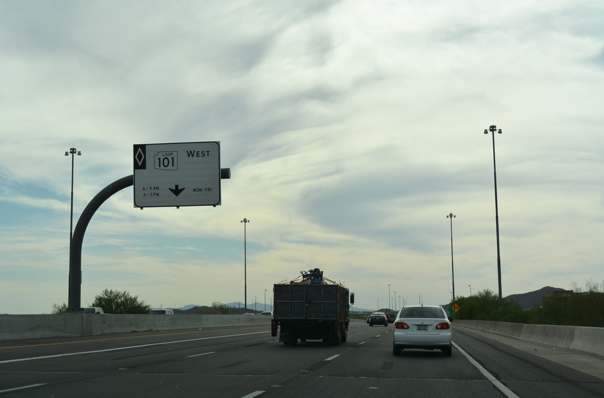
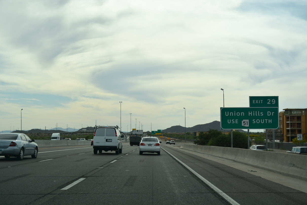
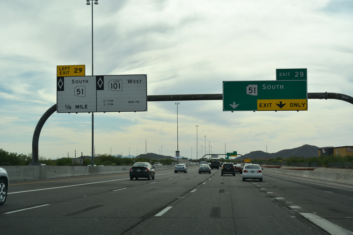
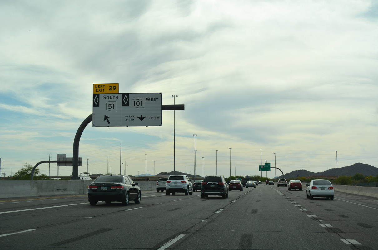
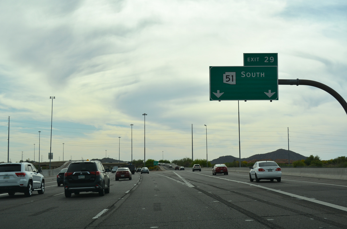
Loop 101 (Pima Freeway) advances 1.25 miles west to a directional T interchange (Exit 29) with the 16.70 mile Piestewa Freeway (SR 51).
04/26/17
04/26/17
04/26/17
04/26/17
04/26/17
04/26/17
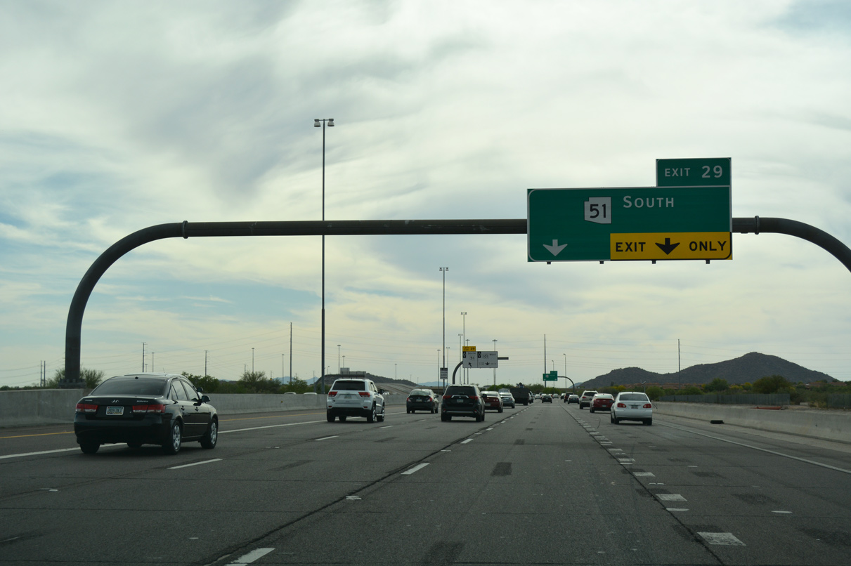
SR 51 (Piestewa Freeway) ties into Loop 101 ahead, and connects the Pima Freeway with I-10 northeast of Downtown Phoenix.
04/26/17
04/26/17
04/26/17
04/26/17
04/26/17
04/26/17
04/26/17
04/26/17
04/26/17
04/26/17
04/26/17
04/26/17
04/26/17
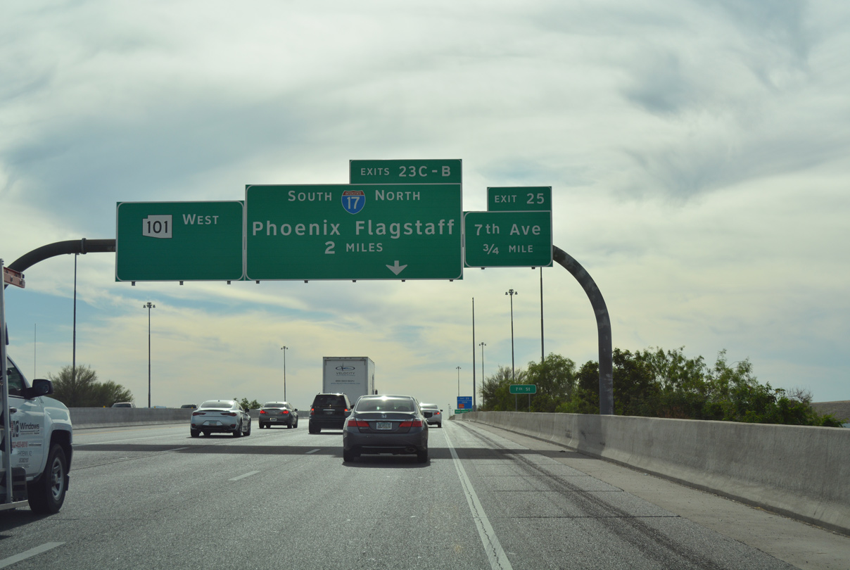
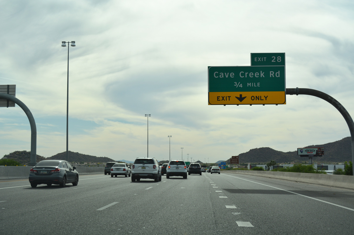
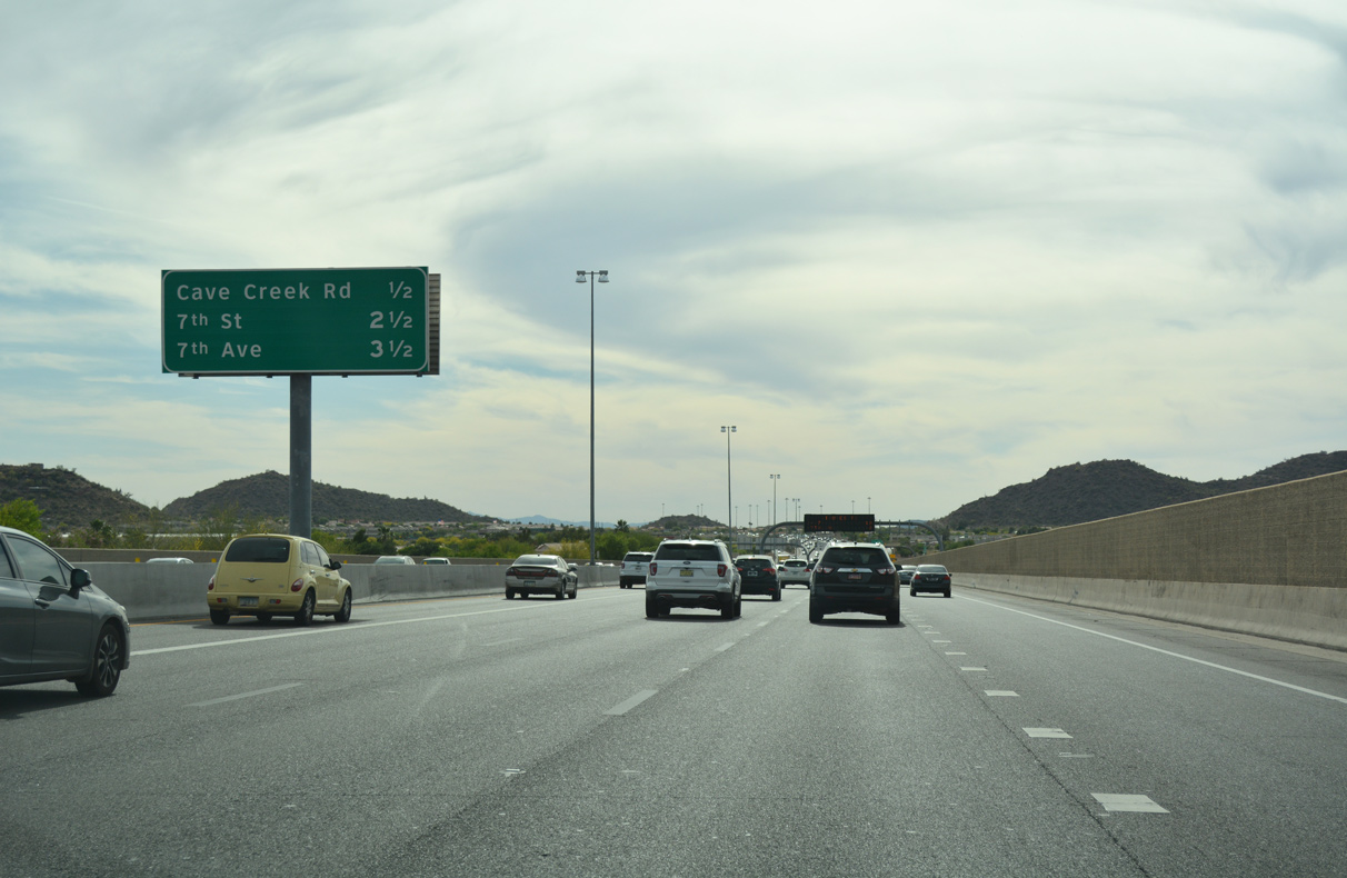
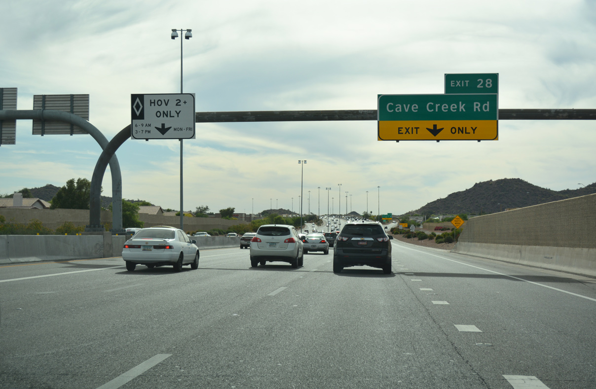
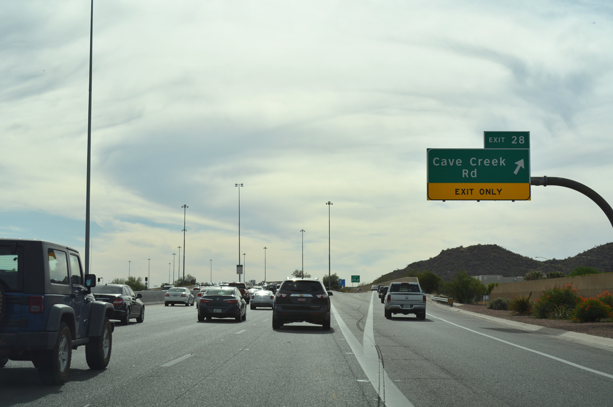
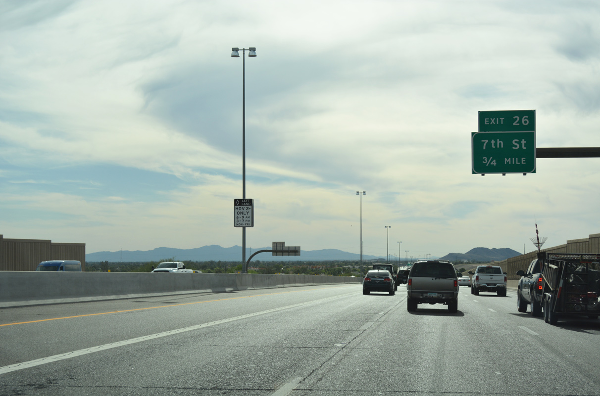
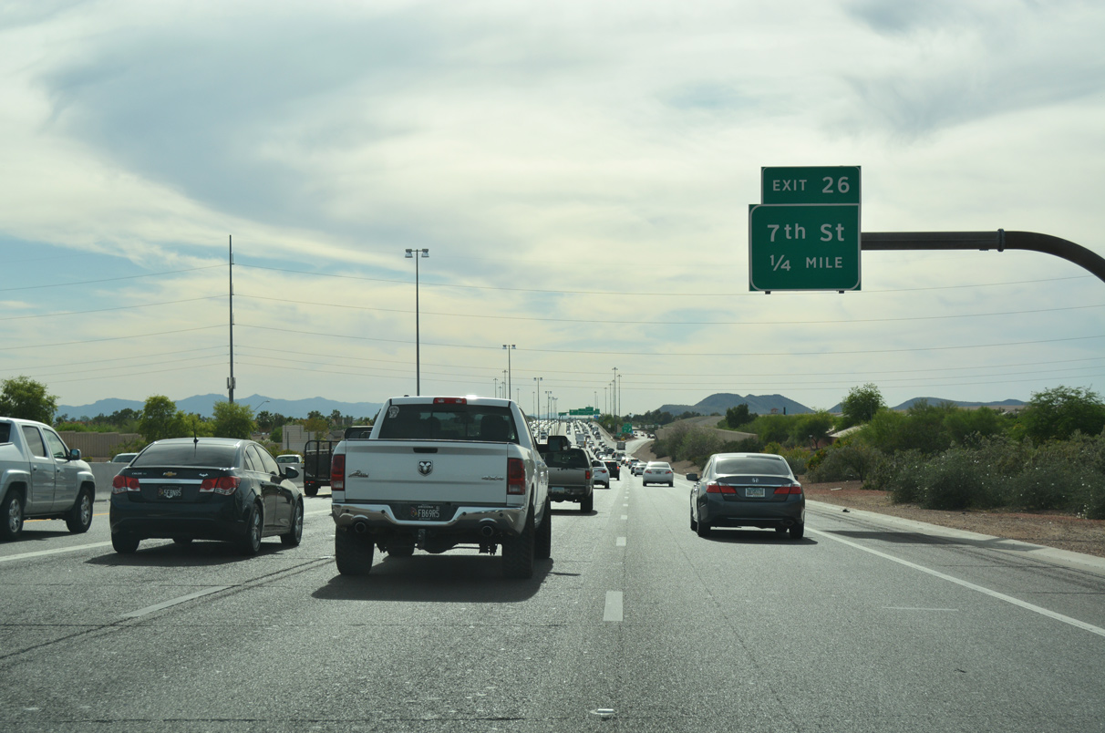
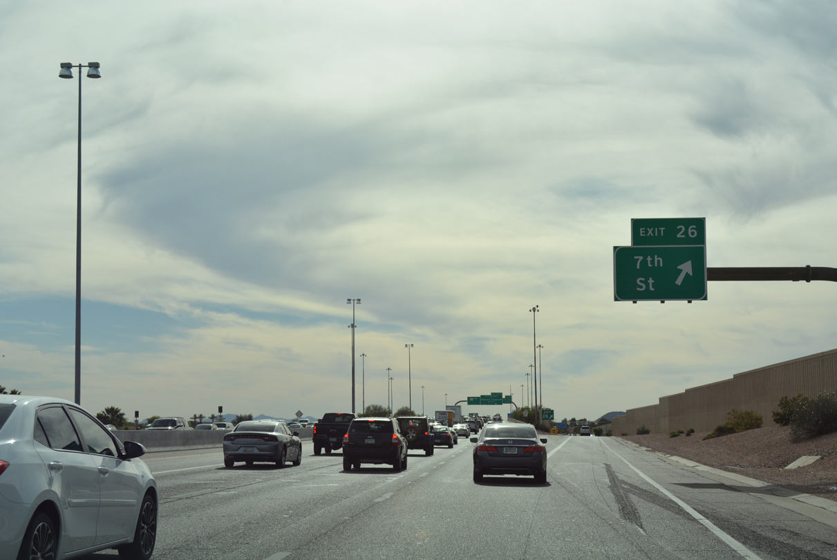
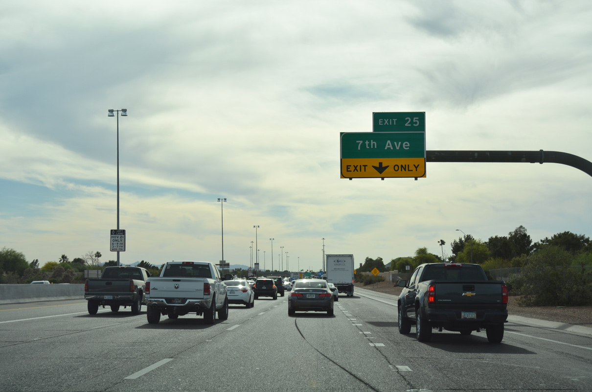
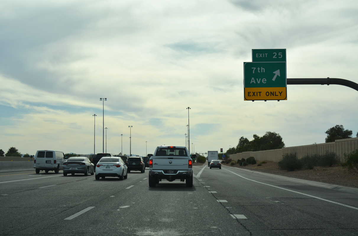
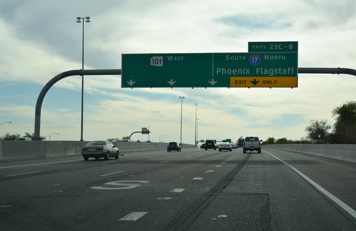
Loop 101 (Pima Freeway) west rises over 7th Street (Exit 26) two miles ahead of the North Stack interchange (Exits 23C-B) with I-17
A sound wall was installed along this stretch by 2020.
04/26/17
04/26/17
04/26/17
04/26/17
04/26/17
04/26/17
04/26/17
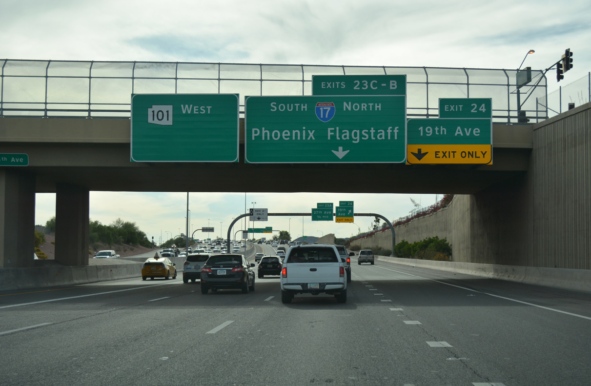
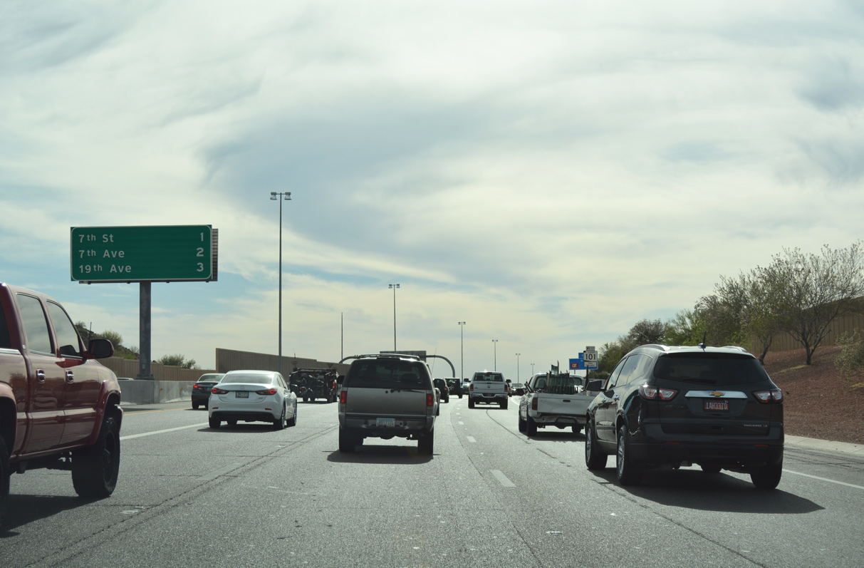
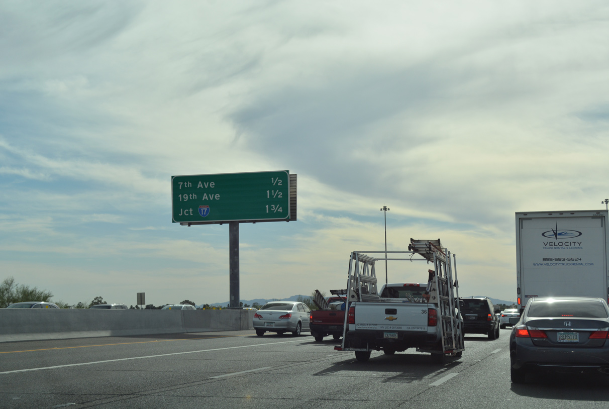
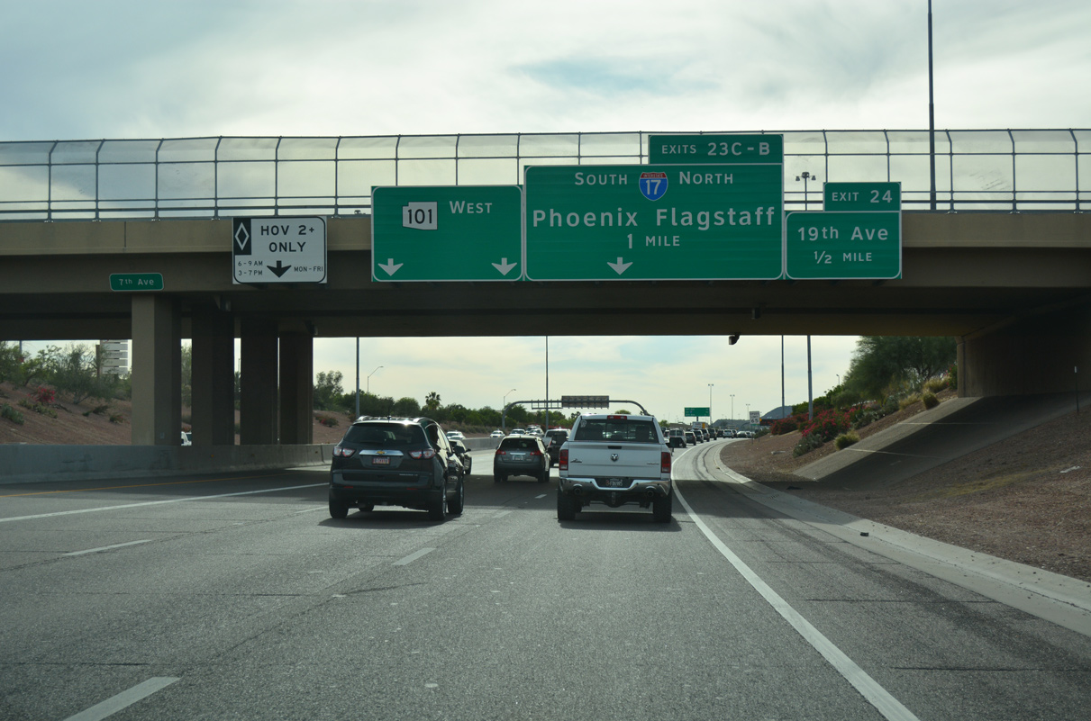
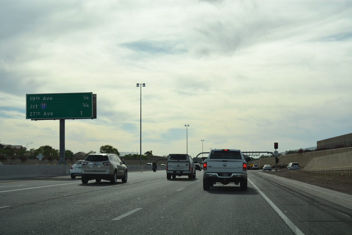
15th Avenue crosses the Pima Freeway at the off-ramp to 19th Avenue (Exit 24). 19th Avenue travels south to Deer Valley Park and Shaw Butte.
04/26/17
04/26/17
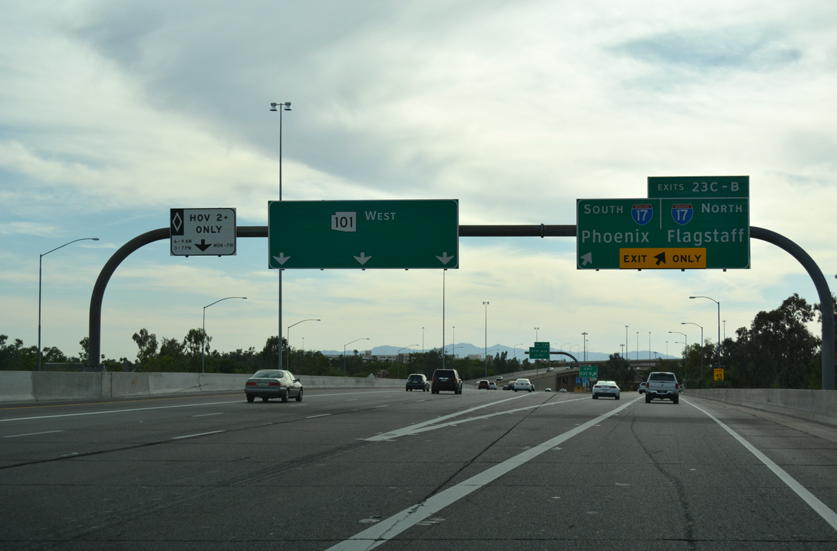
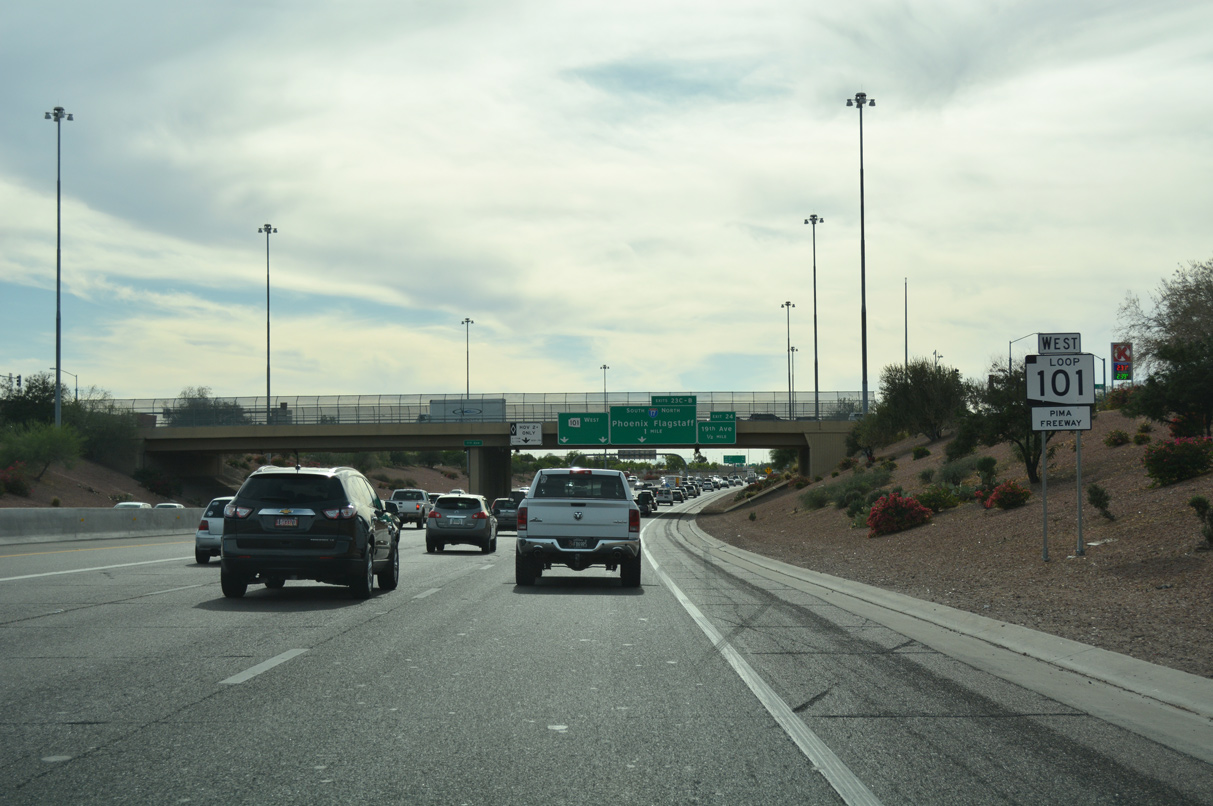
Loop 101 (Pima Freeway) converges with I-17 and the Agua Fria Freeway at the North Stack interchange in Deer Valley. The Agua Fria Freeway continues Loop 101 west and south through Peoria and Glendale to I-10 (Papago Freeway) in the West Valley.
04/26/17
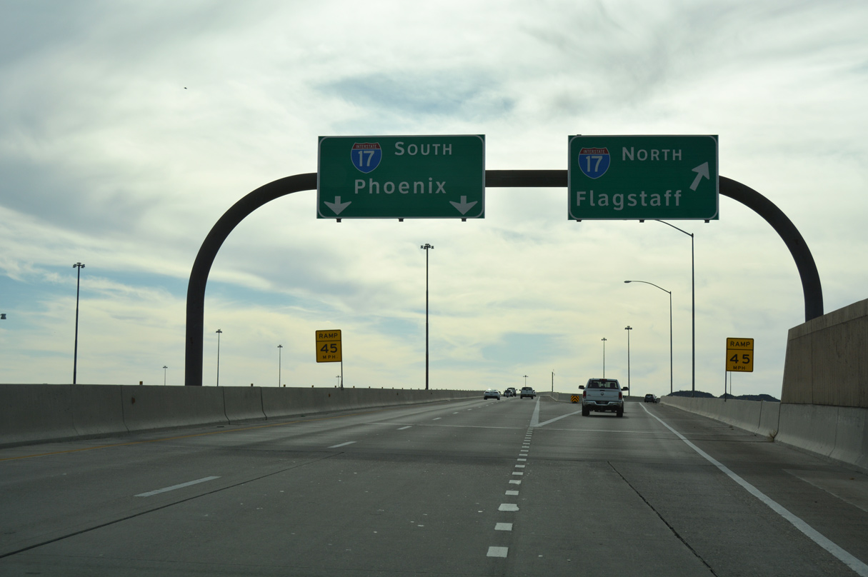
I-17 (Black Canyon Freeway) ties Loop 101 with Coconino National Forest and Flagstaff to the north and central Phoenix to the south.
04/26/17
Sources:
- 2018 Average Annual Daily Traffic - State Routes Table, ADOT website (azdot.gov).
Page Updated 07-02-2020.