County Road B-2 forms a loop east from Oroville to Pleasant Valley and Oroville Dam and south along Canyon Drive to California 162.
|
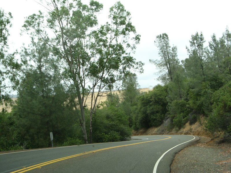
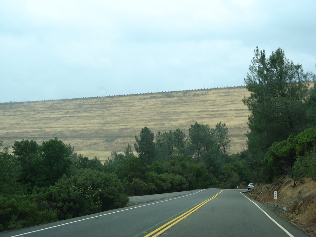
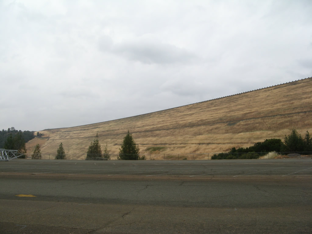
| Butte County B-2 is vastly unsigned along Canyon Drive north from SR 162. The county road turns west parallel to the Feather River from Oroville Dam Boulevard. Due to the grade between the dam and city of Oroville, CR B-2 will wind its way downhill. 05/24/08 |
|
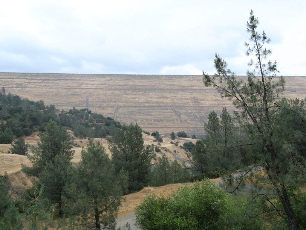
| Oroville Dam comes into view as Butte County B-2 curves downhill. The dam and its ancillary facilities (spillways and tunnels) were constructed between 1961 and 1970, with the official completion on October 6, 1967. Oroville Dam is 770 feet high, which makes it the tallest dam in the United States 05/24/08 |
|
| CR B-2 (Oroville Dam Boulevard) makes a number of switchbacks to the south of Oroville Dam. 05/24/08 |
|
| Looking back toward Oroville Dam from County Road B-2 by the Thermalito Diversion Pool. 05/24/08 |
|
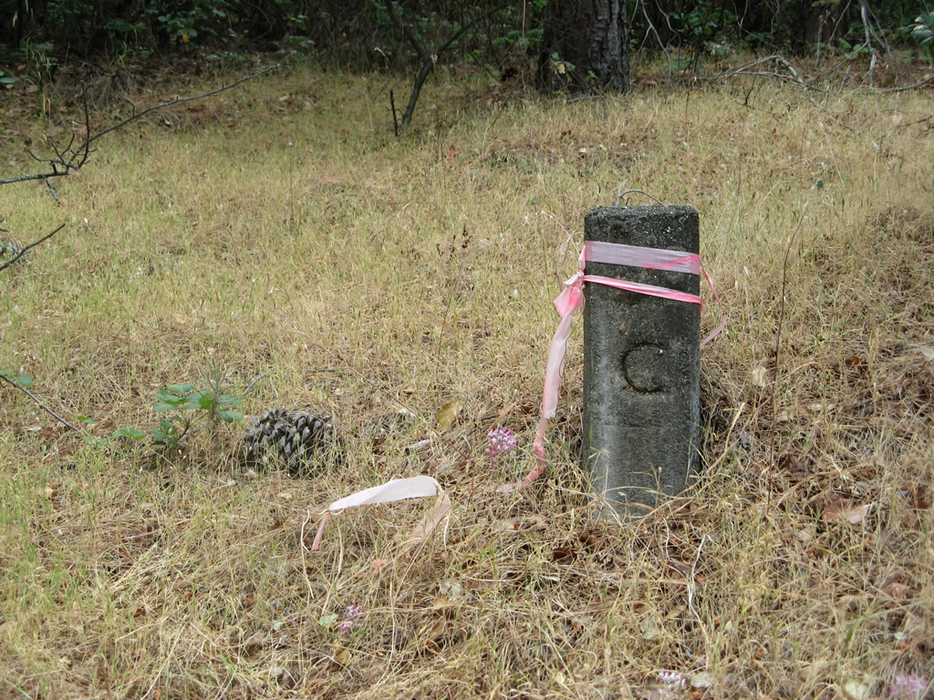
| A C monument (also referred to as a C block), which marks the separation of the road rights of way from private property, located along Oroville Dam Boulevard. 05/24/08 |
|
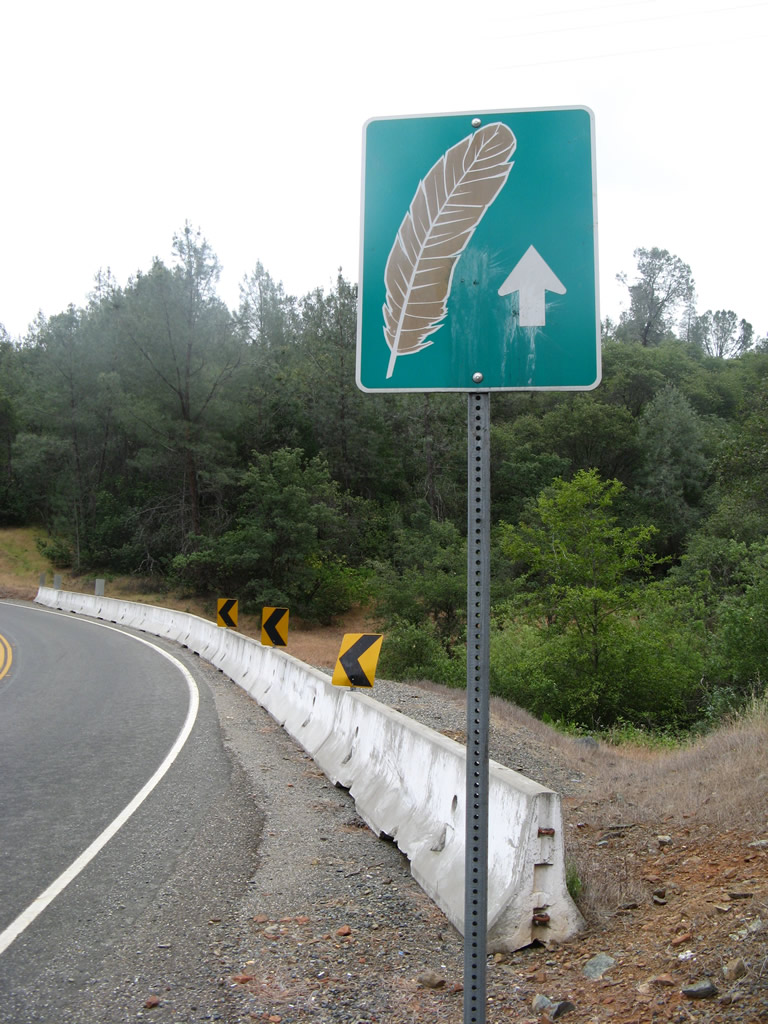
| A Feather trailblazer stands along Oroville Dam Boulevard westbound near Oro Powerhouse Road, which travels east to the hydroelectric power generating station at the Oroville Dam complex (Edward Hyatt Power Plant). 05/24/08 |
|
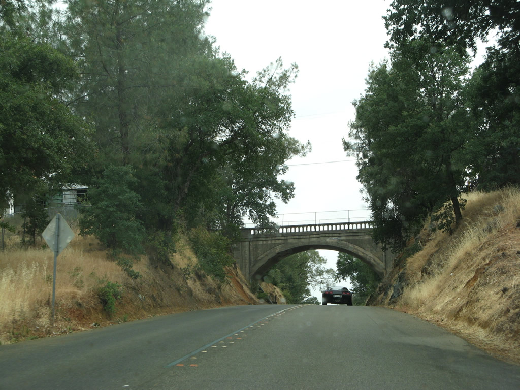
| Winding west into Pleasant Valley in the city of Oroville, Butte County B-2 passes under a concrete arch bridge carrying Canyon Highlands Drive. This bridge was built in 1930. 05/24/08 |
|
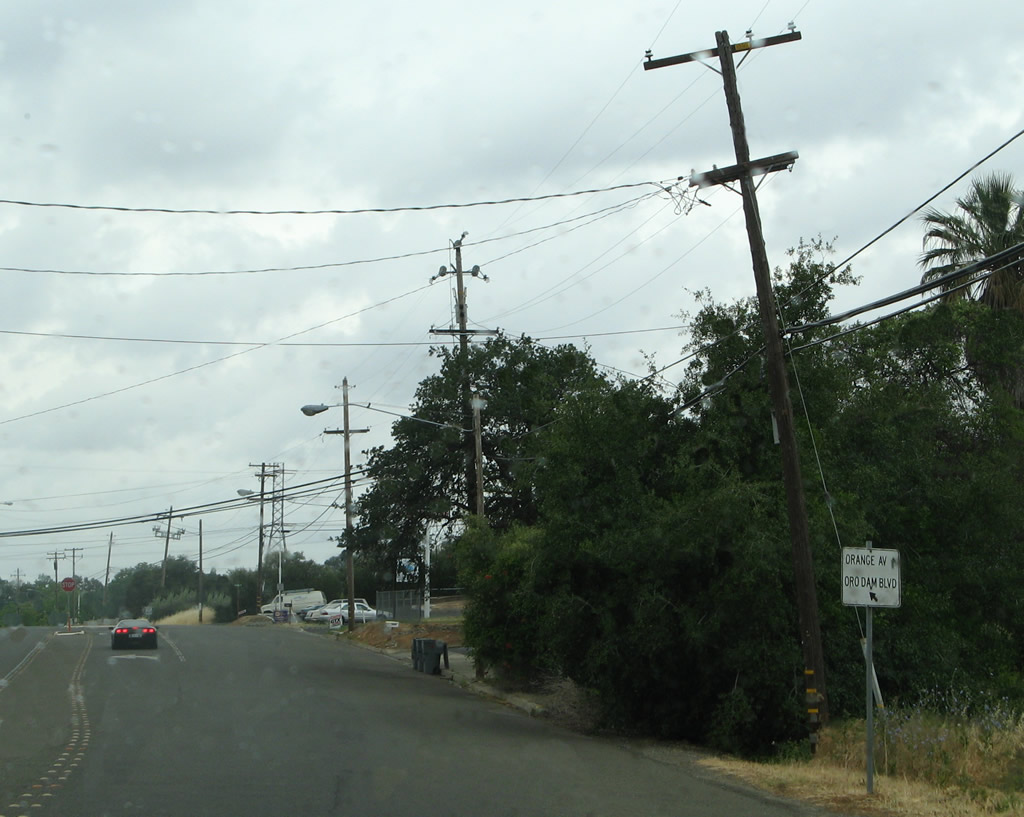
| A small white sign precedes the partition of Orange Avenue from Oroville Dam Boulevard. CR B-2 stays north along Orange Avenue while Oroville Dam Boulevard angles southwest to SR 162. 05/24/08 |
|
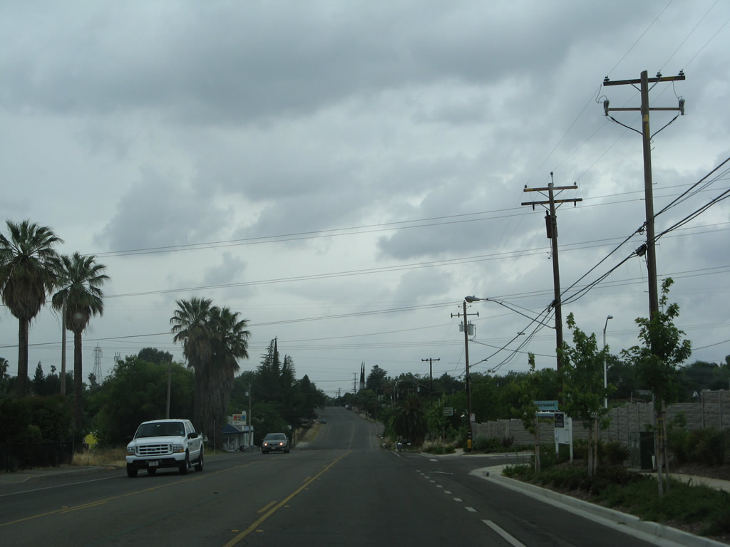
| County Road B-2 continues west through residential areas along Orange Avenue to Montgomery Street. 05/24/08 |
|
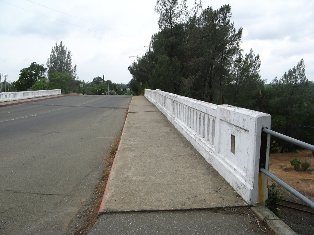
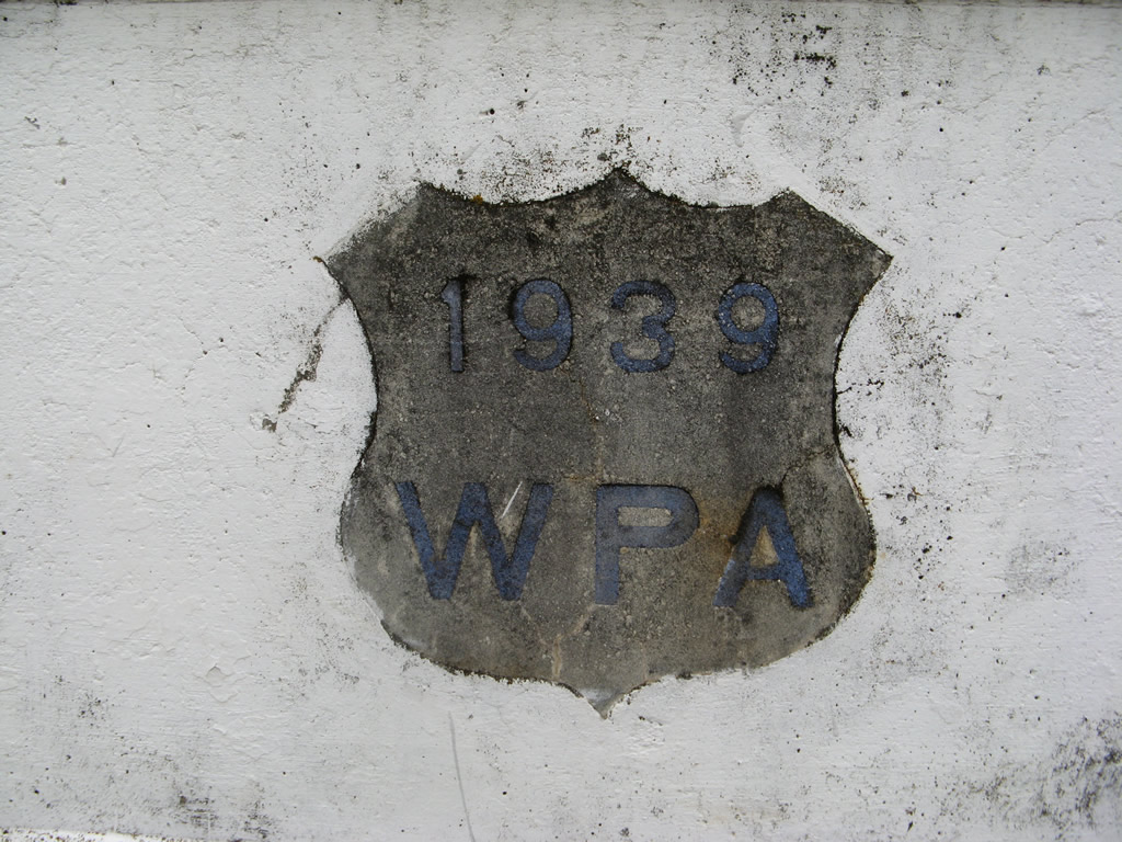
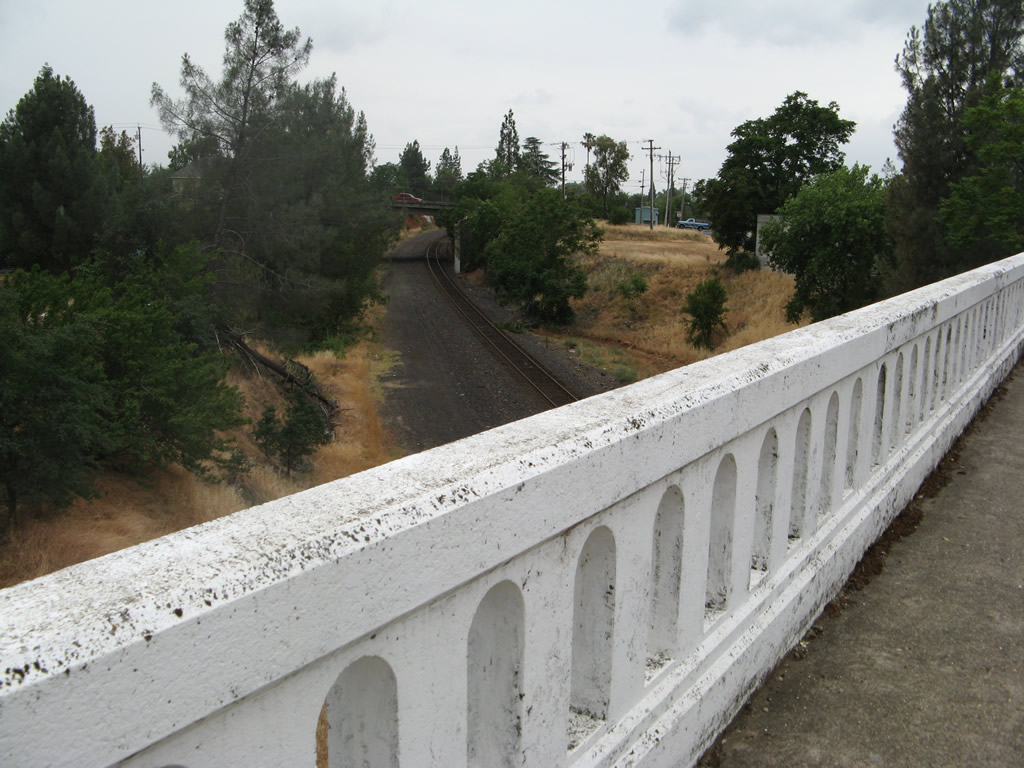
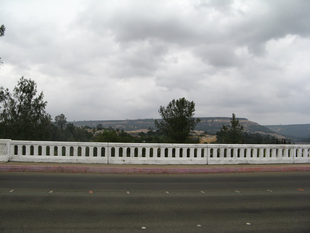
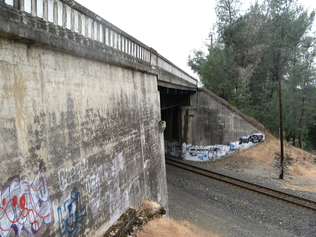
| County Road B-2 arcs northward along Montgomery Street from Orange Avenue to an overpass spanning the Union Pacific Railroad. White concrete bridge railing, along with a Works Progress Administration date stamp, help identify the age of this 1939-built bridge. 05/24/08 |
|
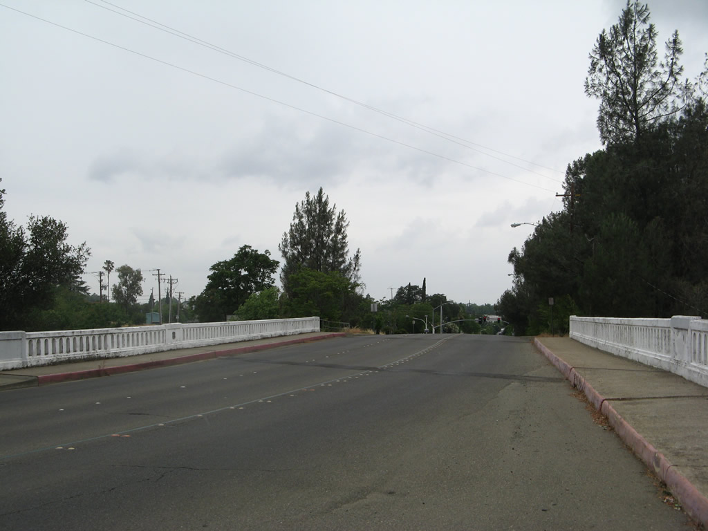
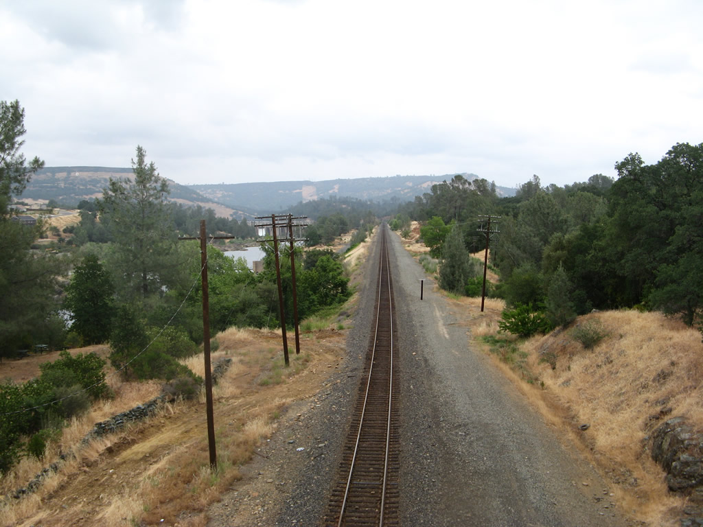
| The Union Pacific Railroad line parallels the Feather River north from Montgomery Street to cross the river west to Thompson Flat. 05/24/08 |
|
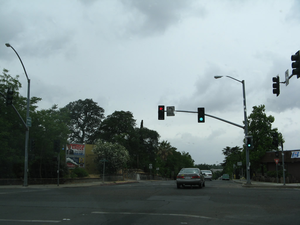
| A roundabout with Table Mountain Road north and Washington Avenue south replaced the signalized intersection at the west end of County Road B-2 (Montgomery Street). SR 70 Business overtakes Montgomery Street west through Downtown Oroville from Table Mountain Road across the Feather River. 05/24/08 |
Page Updated 08-14-2017.