Riverside County Route R-1 is one of two entries in the Group R series across the state. County Route R2 along Kaiser Road, from SR 177 in Desert Center to the Eagle Mountains, is the other. County Route R1 was once assigned along what is now California State Route 243 near Idyllwild and Banning.1
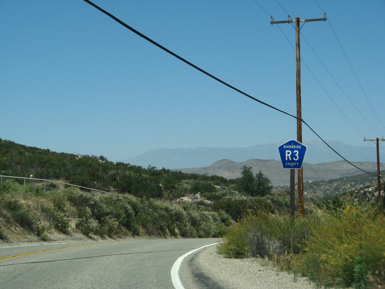
CR R-3 follows Sage Road, Cactus Valley Road and State Street north from SR 79, bypassing Temecula, and reconnecting with SR 79 near Hemet. Unlike its Riverside County counterparts CR S-16 and CR R-2, CR R-3 is fairly well-signed in both directions and at the southern end. The northern end in Hemet however, is generally unsigned.
|
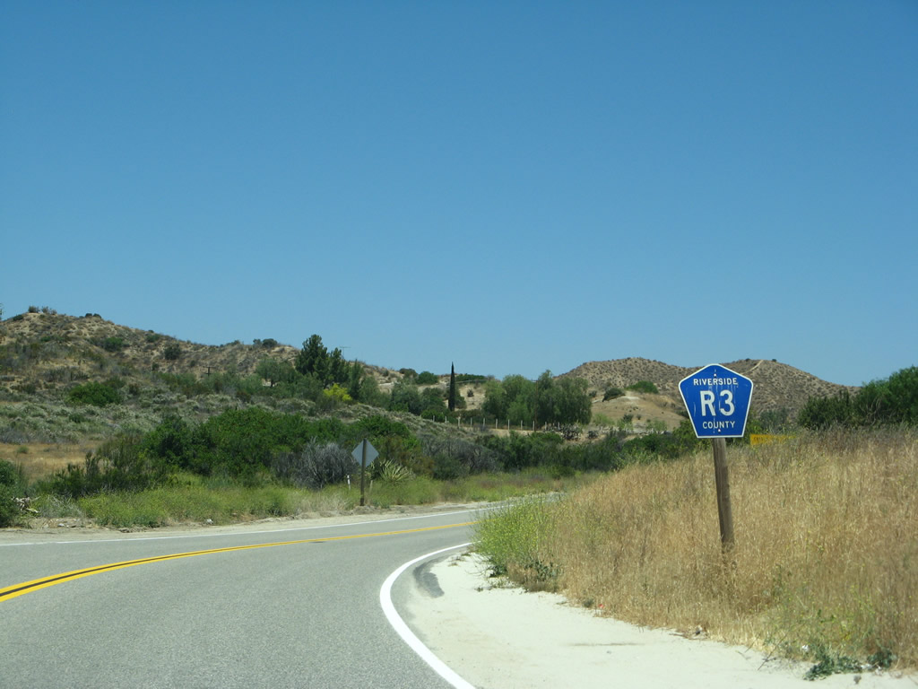
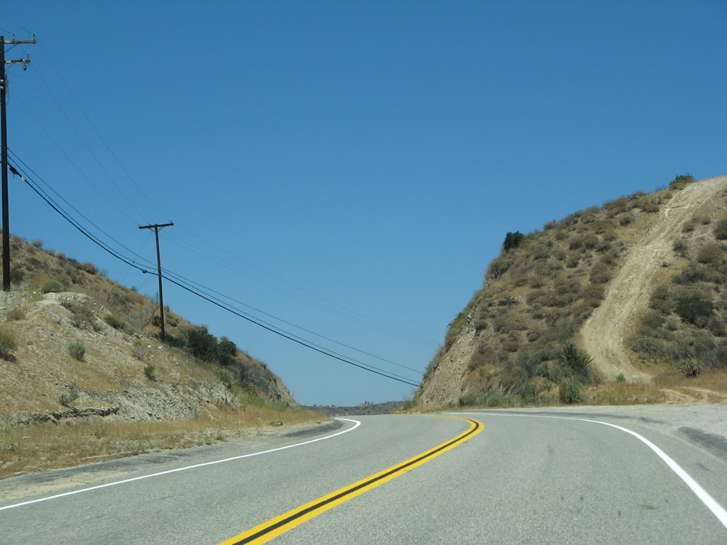
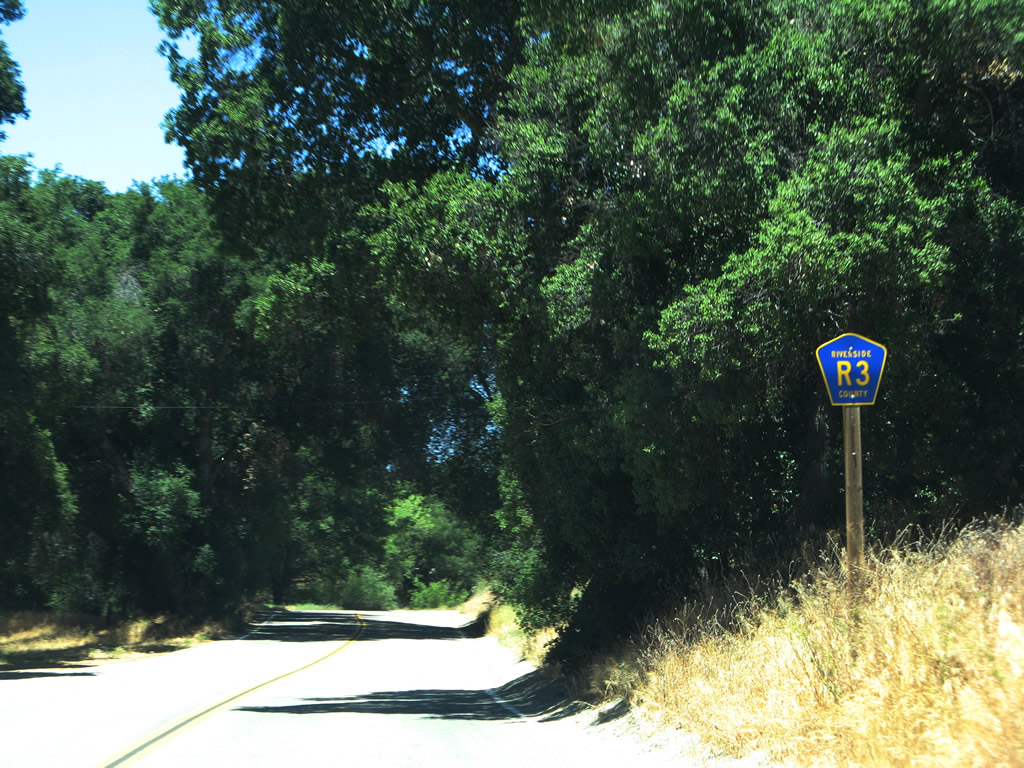
| The first shield for Riverside County R-3 appears just north of SR 79 along Sage Road at Radec. 06/07/08 |
|
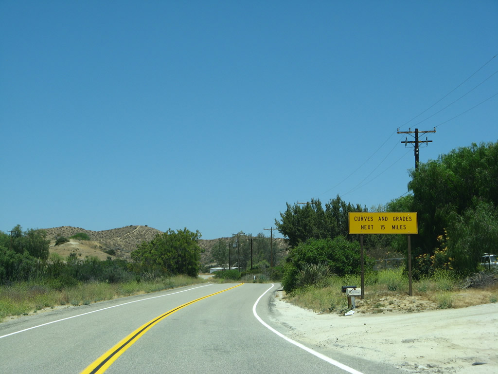
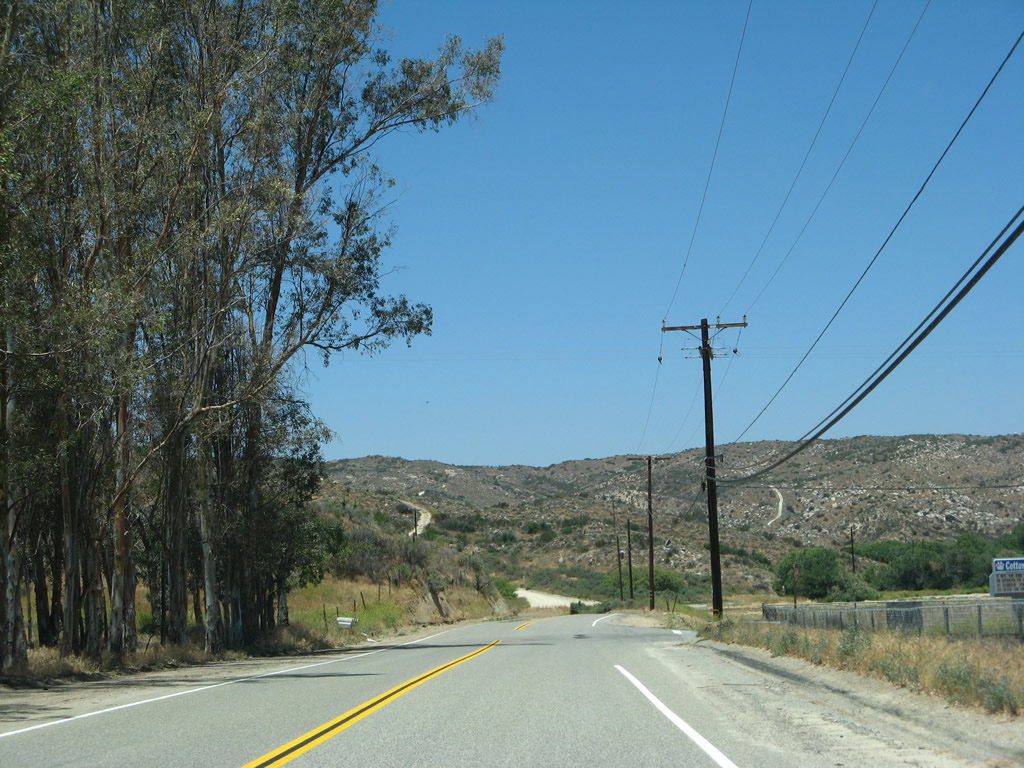
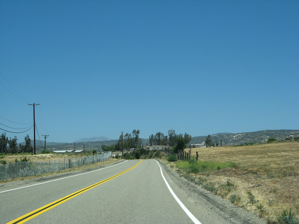
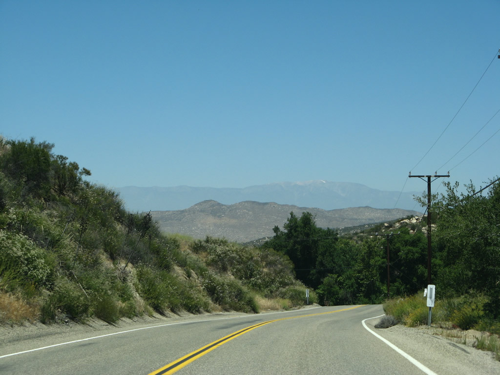
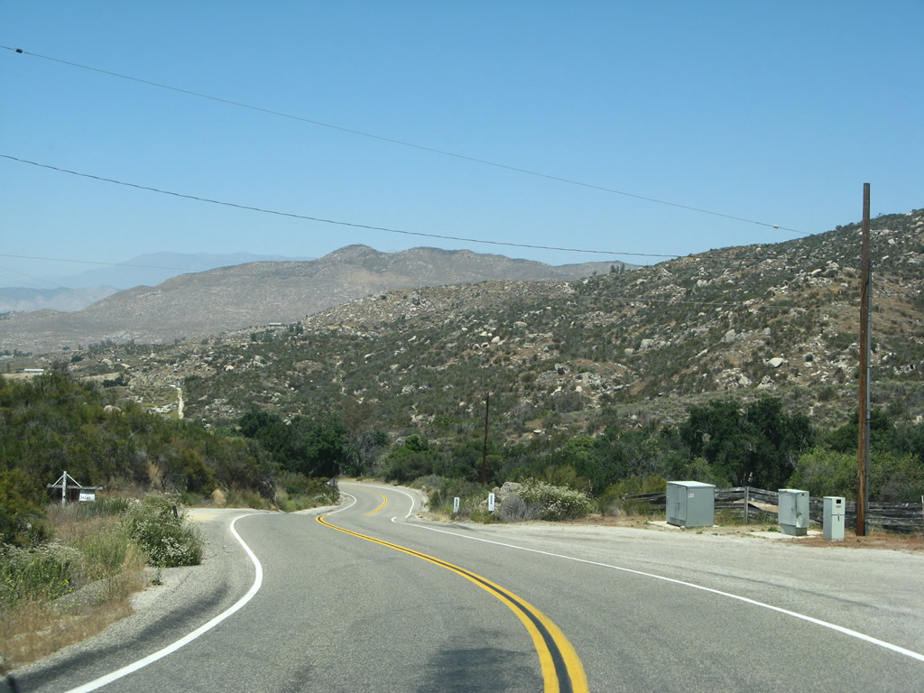
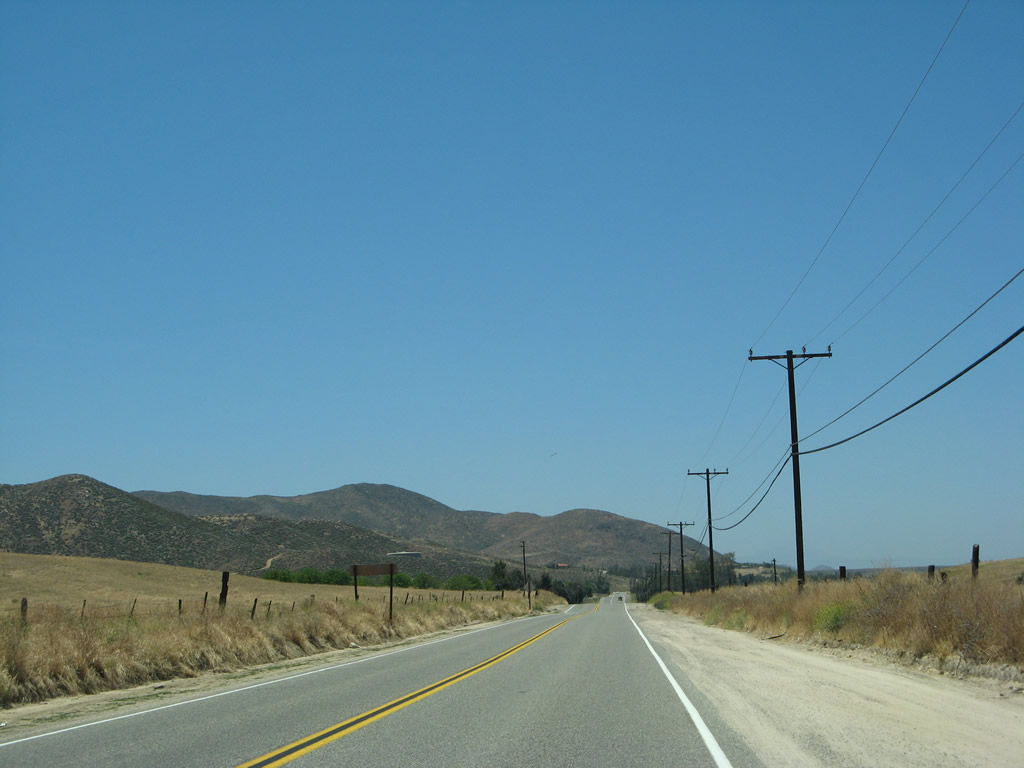
| The southernmost 15 miles of Sage Road traverses a series of hills north to Lancaster and Lewis Valleys. Most of the area along the road are undeveloped, with occasional house and ranches. 06/07/08 |
|
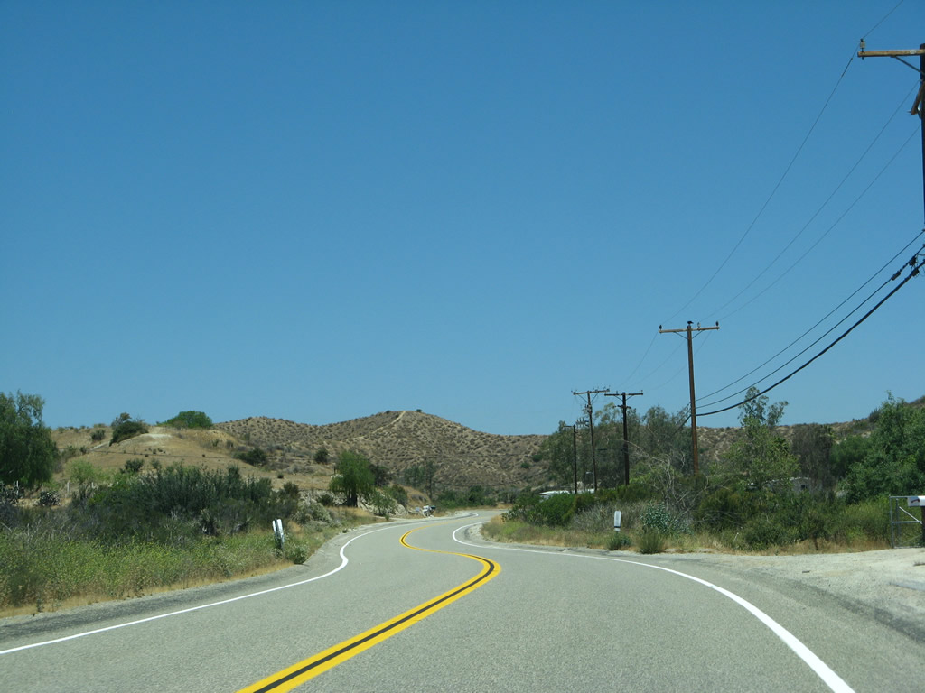
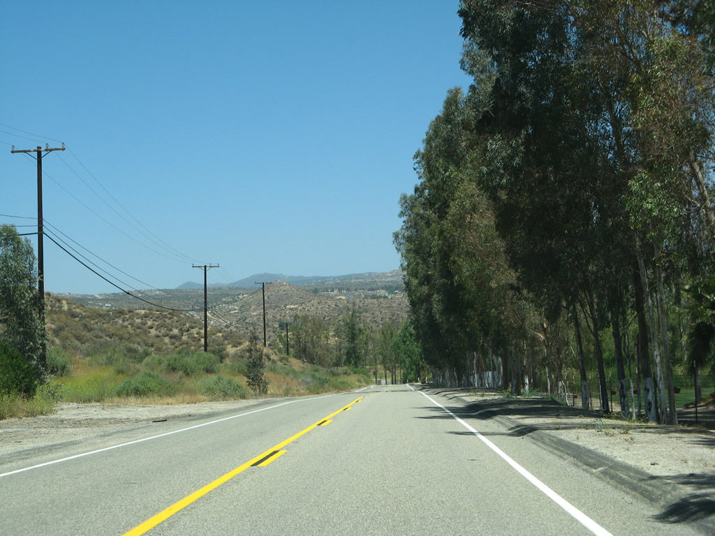
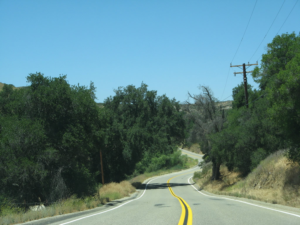
| R-3 continues north past ranches and occasional houses. The highway is notable for its relative obscurity amid a region that has seen major development over the past several decades. Prior to its realignment in 1964, SR 79 used to follow R-3 in its entirety. R-3 is a more direct route from Aguanga to Hemet, but the state route was relocated to the west west so it could serve the city of Temecula, and also eventually replace the section of SR 71 left over by the completion of Interstate 15 through Temescal Canyon. 06/07/08 |
|
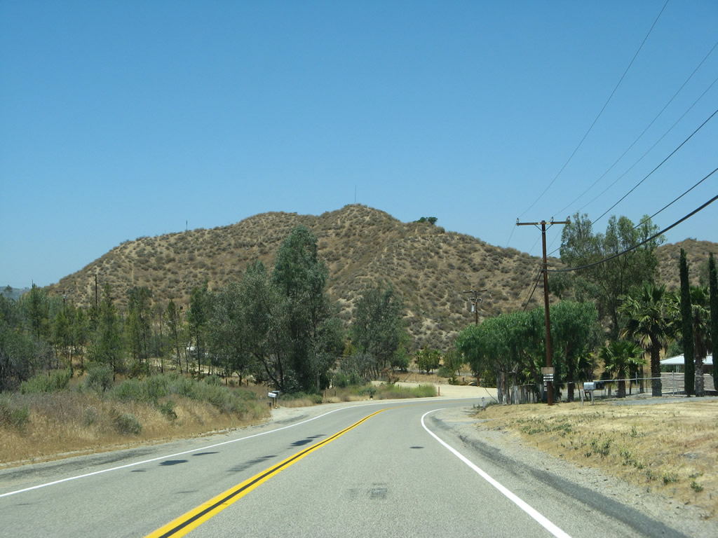
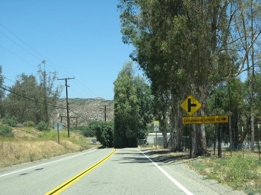
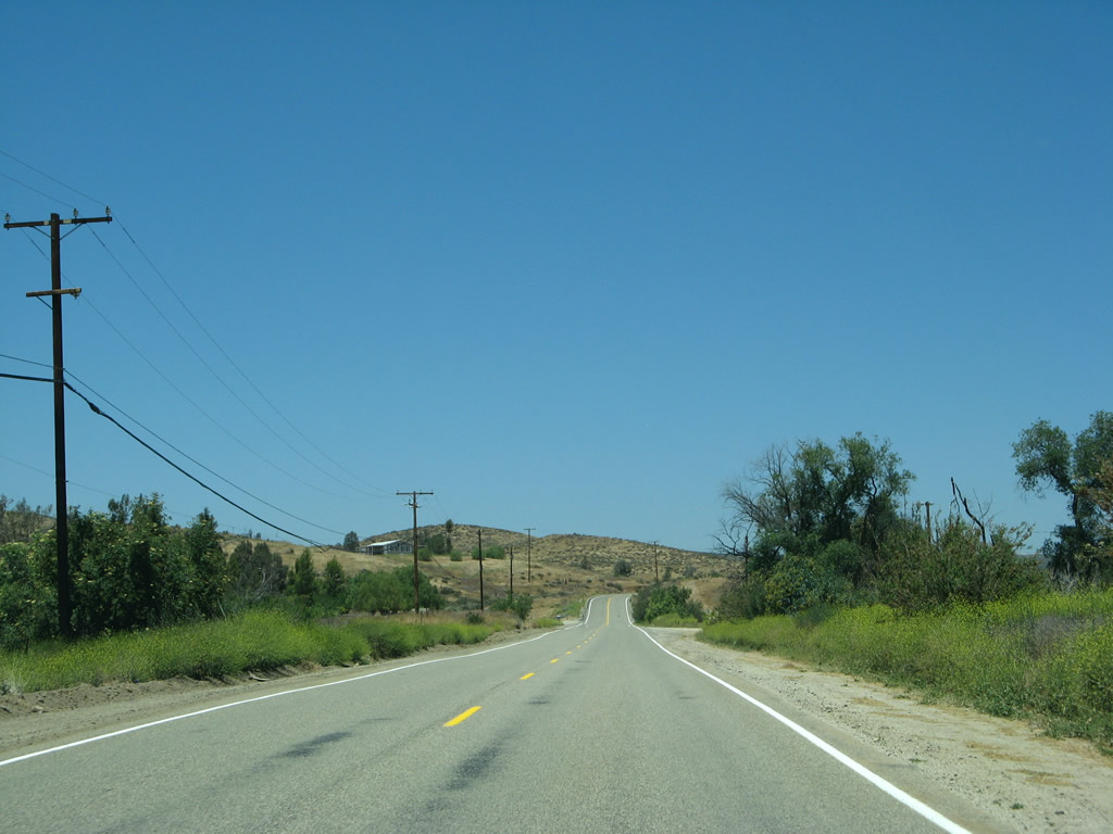
| Sage Road lowers into Lancaster Valley ahead of Cottonwood School Road east. 06/07/08 |
|
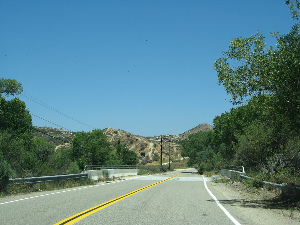
| CR R-3 (Sage Road) northbound next spans Wilson Creek. 06/07/08 |
|
| Sage Road northbound ascends over 400 feet out of Lancaster Valley on the drive north. 06/07/08 |
|
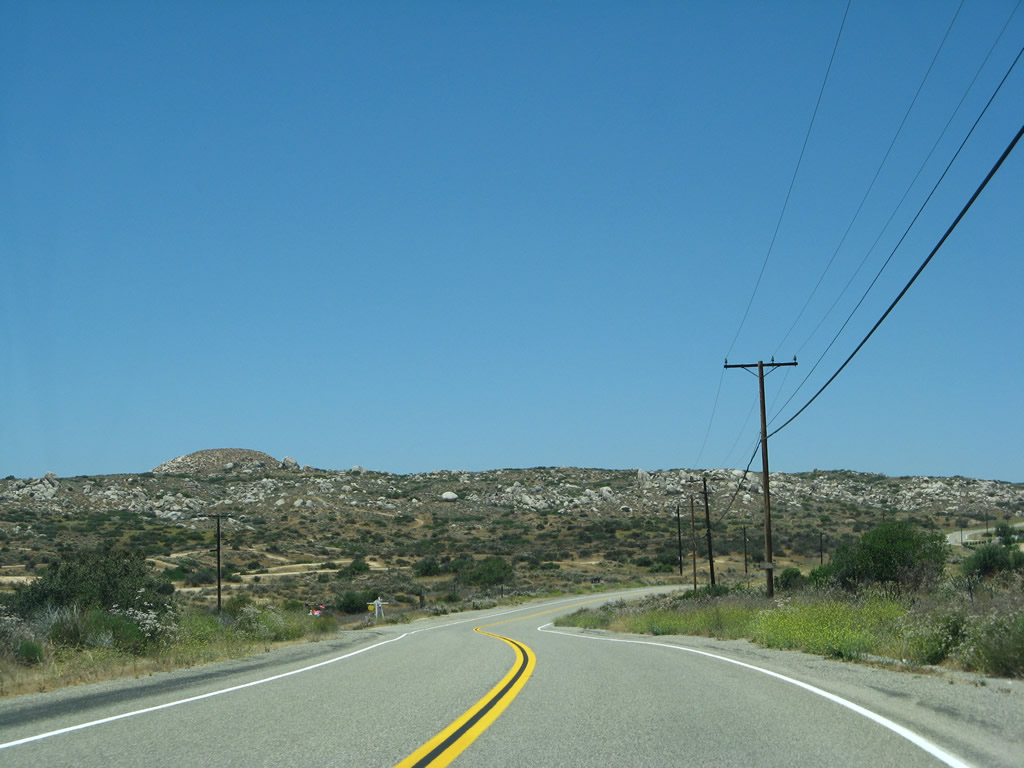
| Roundtop punctuated the hills to the west at around an elevation 250 feet above Sage Road. 06/07/08 |
|
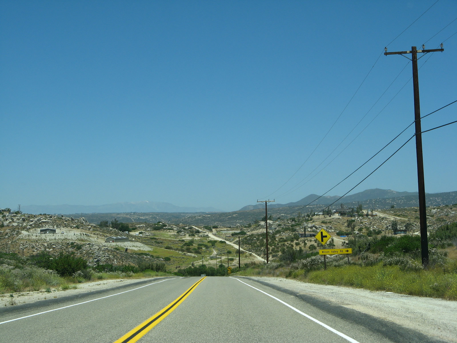
| Wilson Valley Road stems east from County Road R-3 to ranch areas east along Wilson Creek and Valley. 06/07/08 |
|
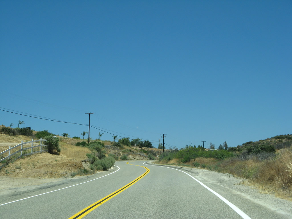
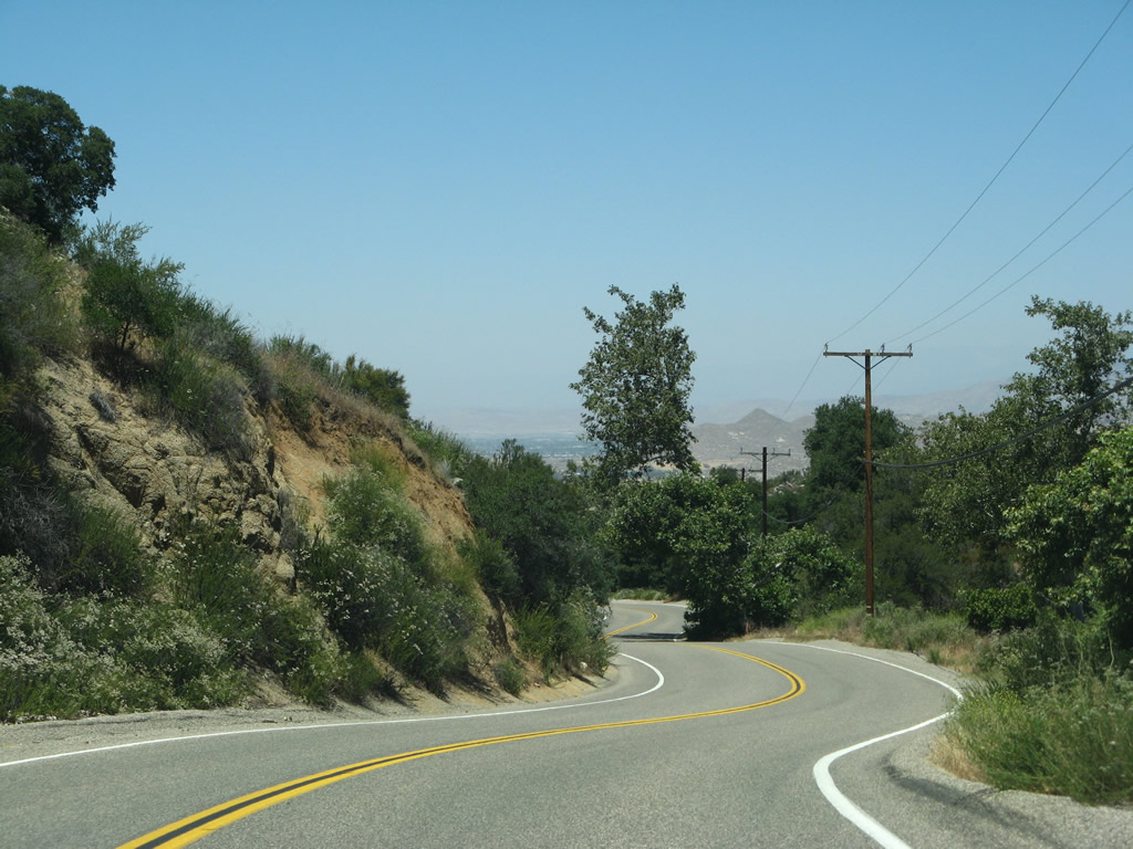
| Sage Road makes a sharp turn to the west as it lowers into Lewis Valley. 06/07/08 |
|
| Flattening out, CR R-3 (Sage Road) navigates northward by a number of farms and ranches through Lewis Valley. 06/07/08 |
|
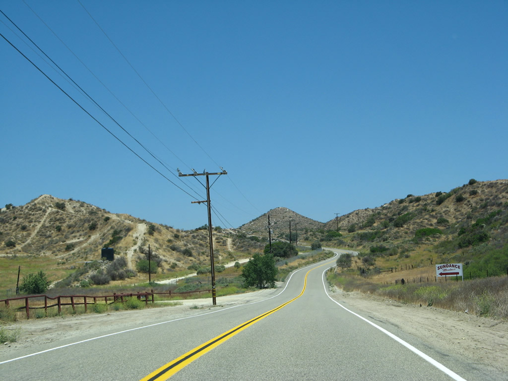
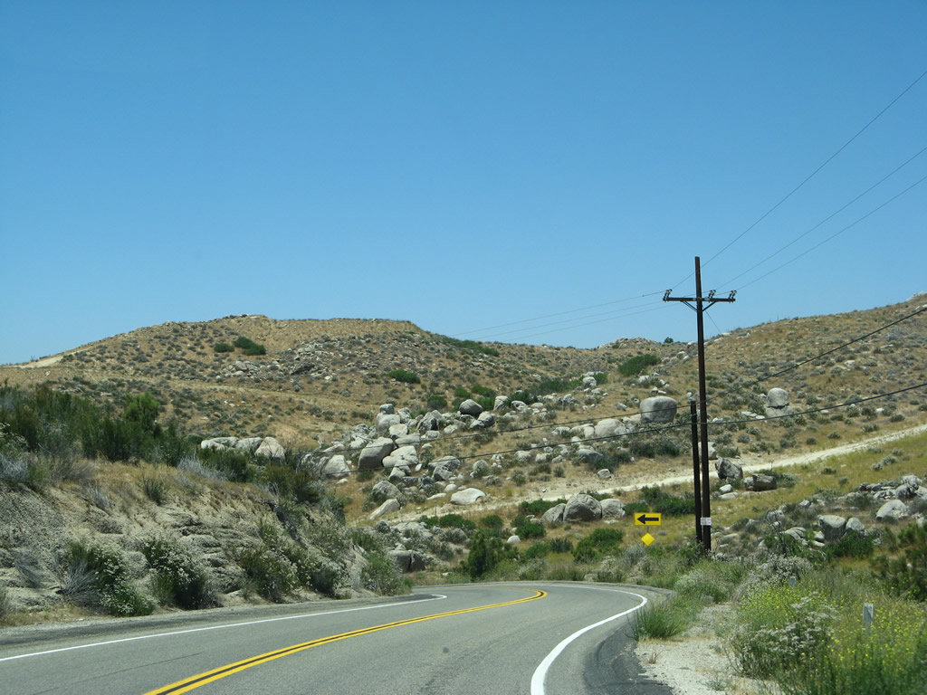
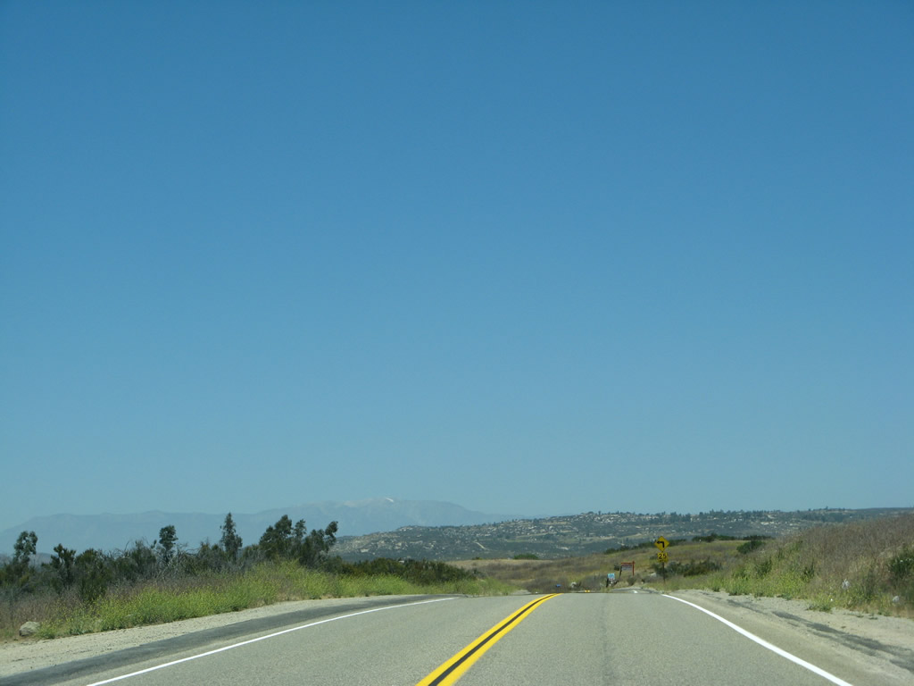
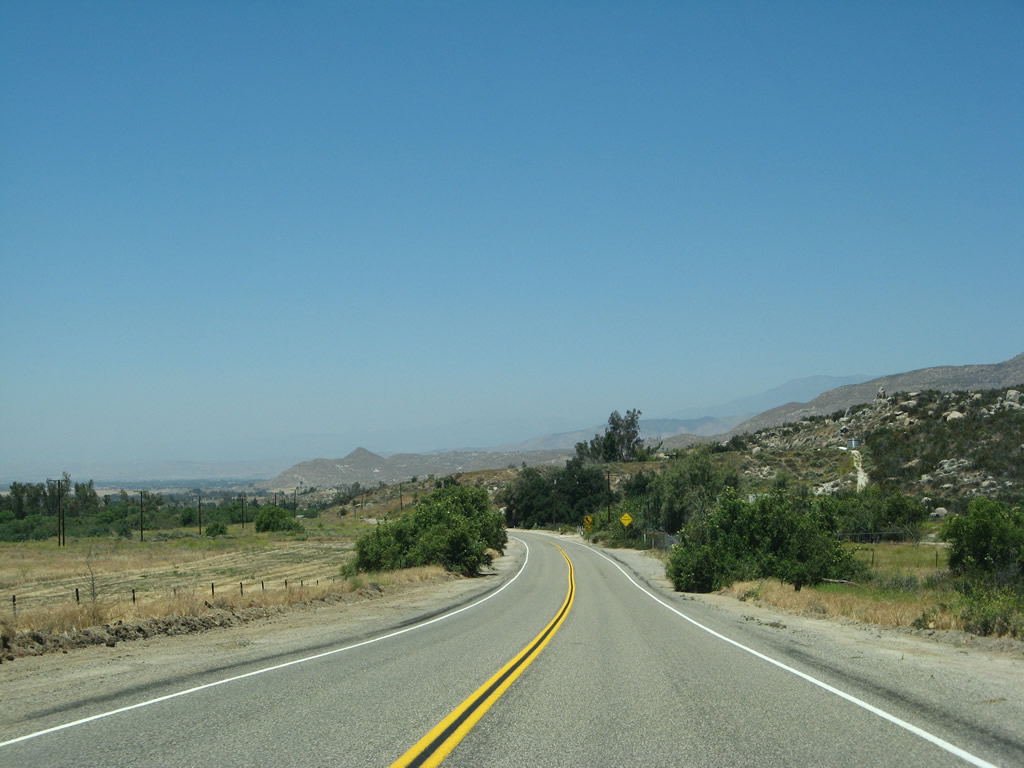
| Advancing northwest from Lewis Valley, CR R-3 takes a winding course across undeveloped land and ranches to the settlement of Sage. 06/07/08 |
|
| Benton Road arcs east from Glenoak Valley to intersect CR R-3 ahead of this reassurance marker in Sage. The assembly was removed by 2012. 06/07/08 |
|
| Sage Road continues north from Benton Road along the Magee Hills. 06/07/08 |
|
| A shield for Riverside County R-3 stands along Sage Road north of Sycamore Springs Road west and Red Mountain Road east. 06/07/08 |
|
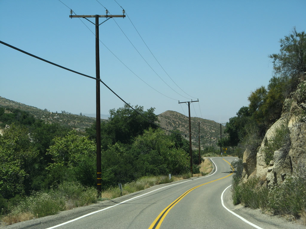
| The ensuing stretch along CR R-3 (Sage Road) north narrows through St. Johns Canyon. 06/07/08 |
|
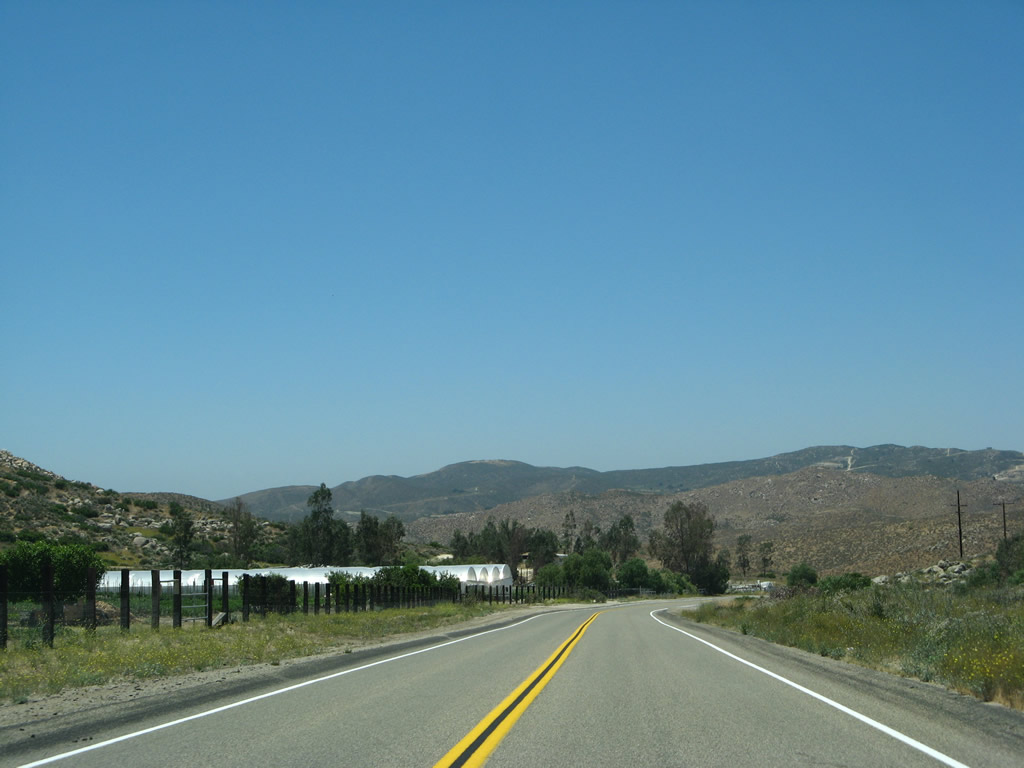
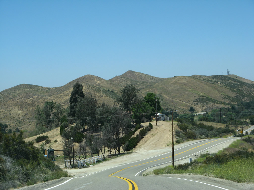
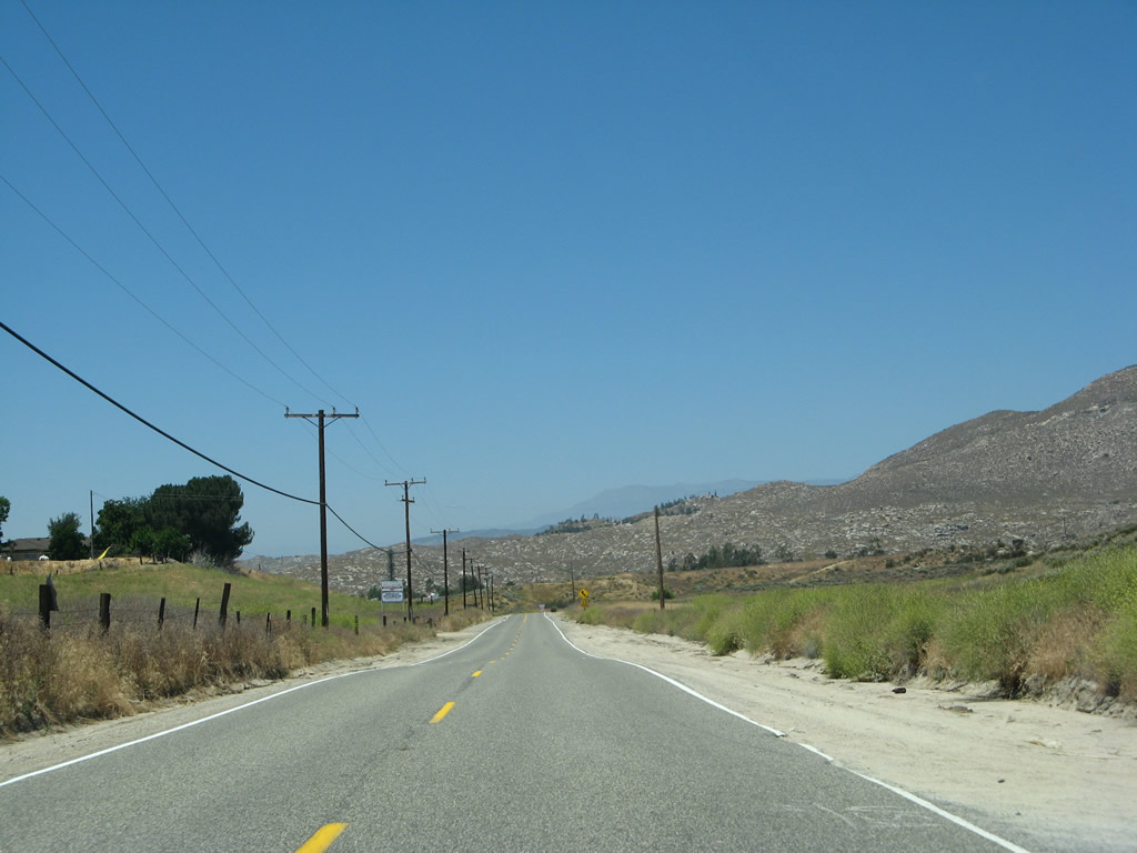
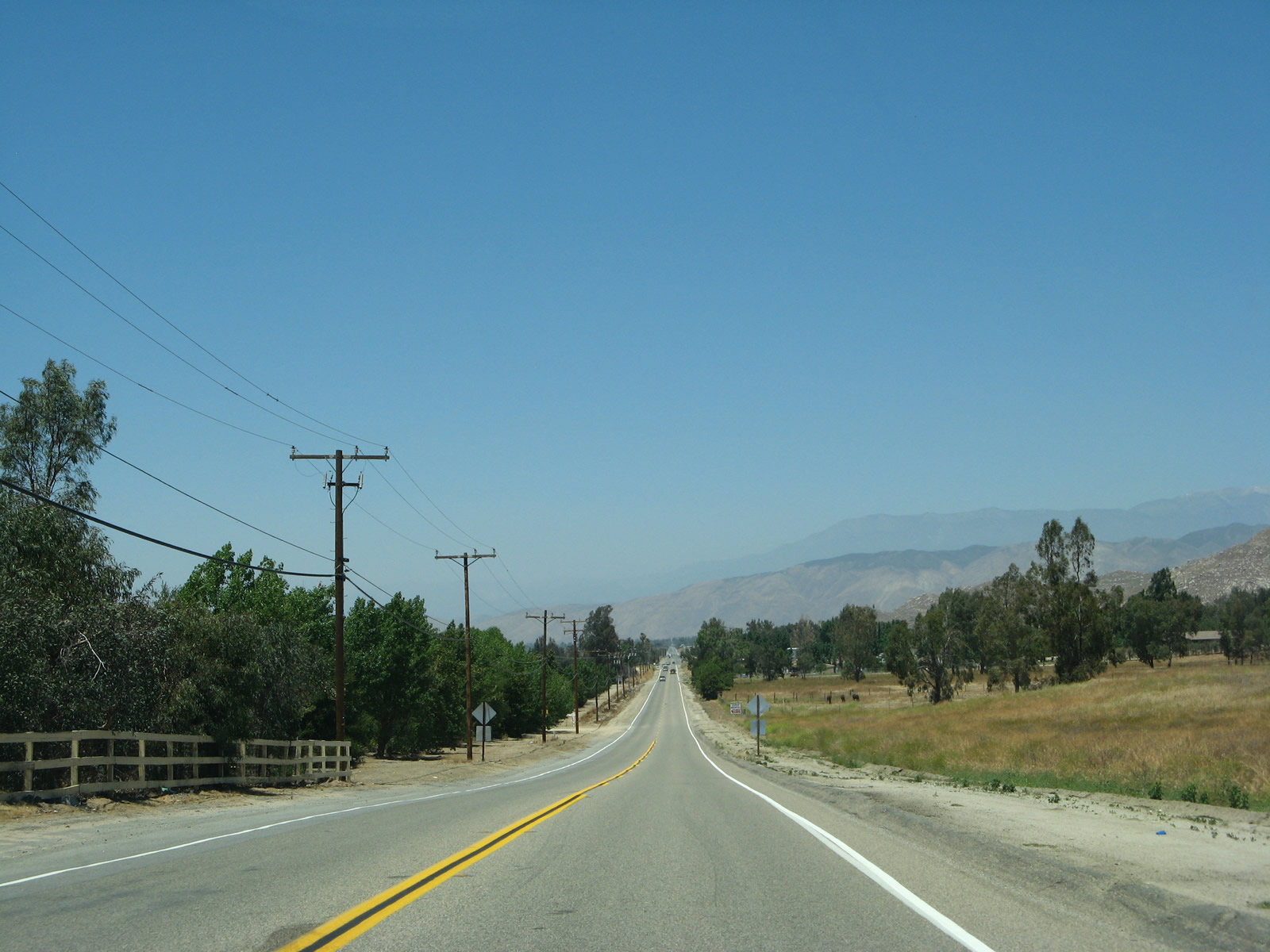
| St. Johns Canyon opens out into Diamond Valley to the east of Mica Butte and southwest of Polly Butte. Several ranches line the west side of Sage Road along this stretch. 06/07/08 |
|
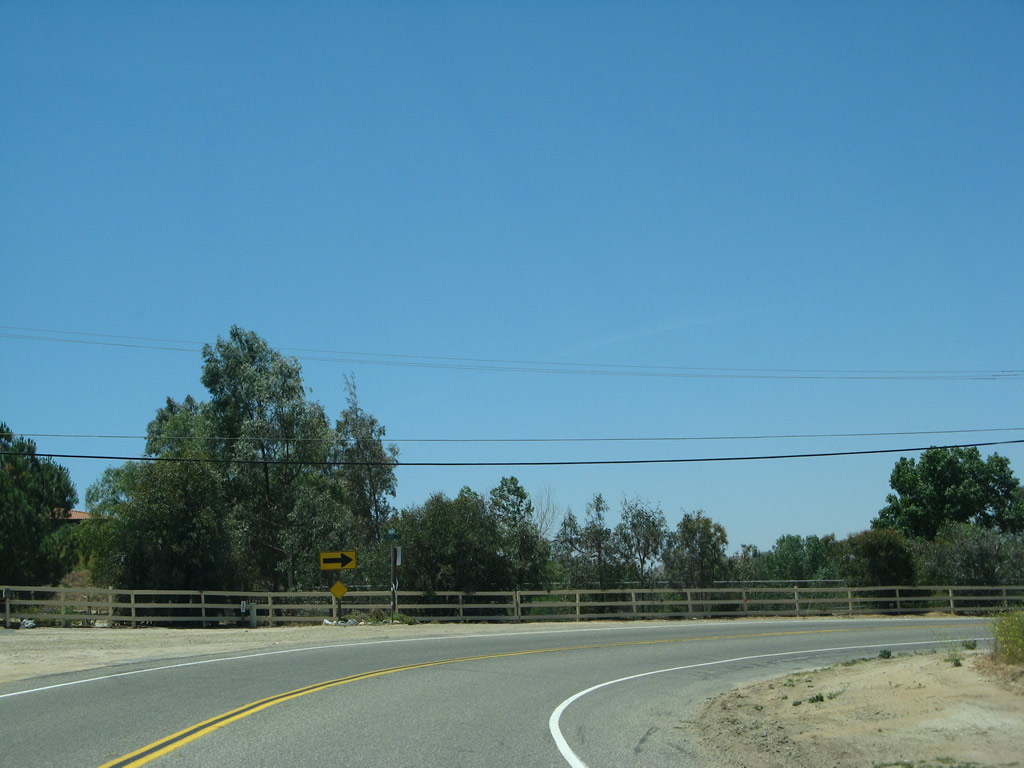
| County Road R-3 turns west onto Cactus Valley Road from Sage Road. 06/07/08 |
|
| Cactus Valley Road takes Riverside County R-3 west one mile by Diamond Valley Golf Club to the north end of Mica Butte. 06/07/08 |
|
| State Street extends Riverside County R-3 north from Cactus Valley Road into Diamond Valley. 06/07/08 |
|
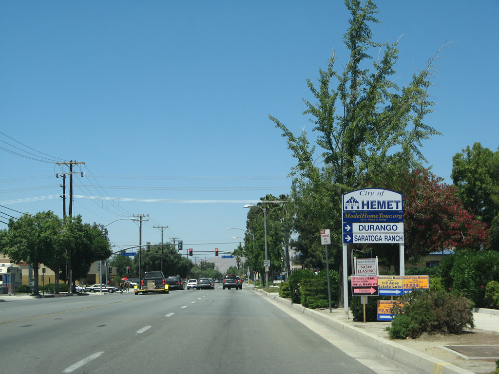
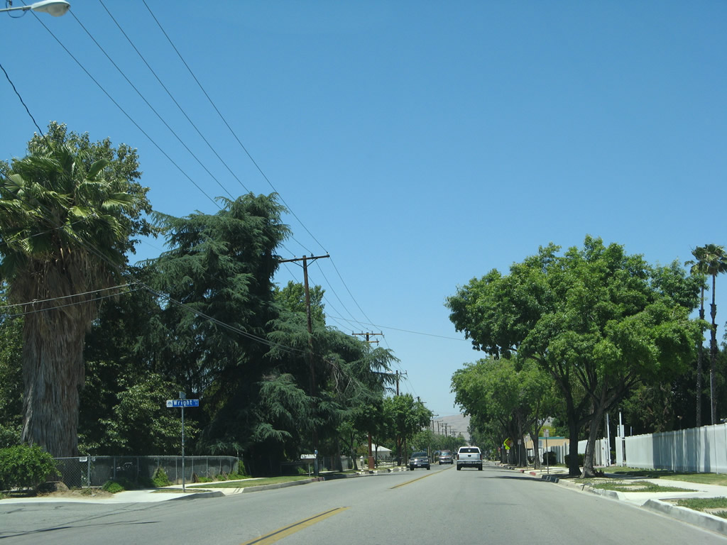
| Suburban expansion of the city of Hemet spreads south along CR R-3 to the McSweeny Farms subdivision at Newport Road. 06/07/08 |
|
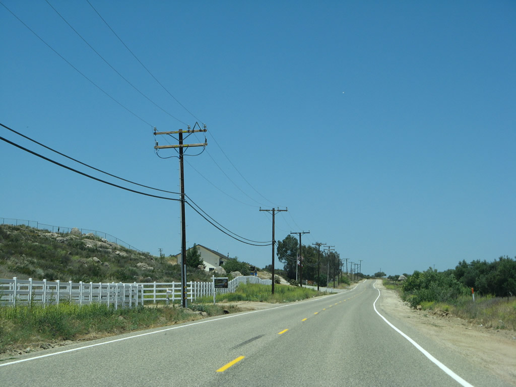
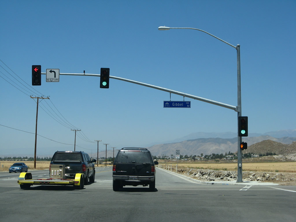
| Domenigoni Parkway east and Gibbel Road west come together at the first traffic light along CR R-3 north. Domenigoni Parkway constitutes a four lane suburban arterial west to Menifee, with a connection to Interstate 15. 06/07/08 |
|
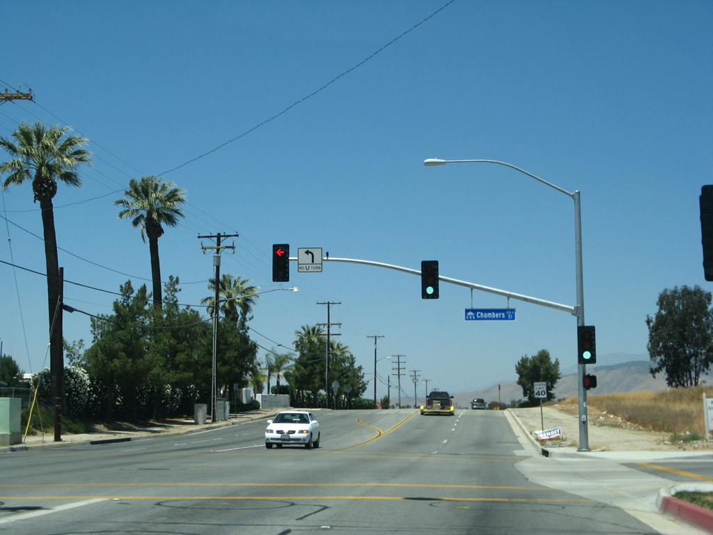
| CR R-3 (State Street) expands to four lanes north from Domenigoni Parkway. The subsequent northbound signal is located at Chambers Street. 06/07/08 |
|
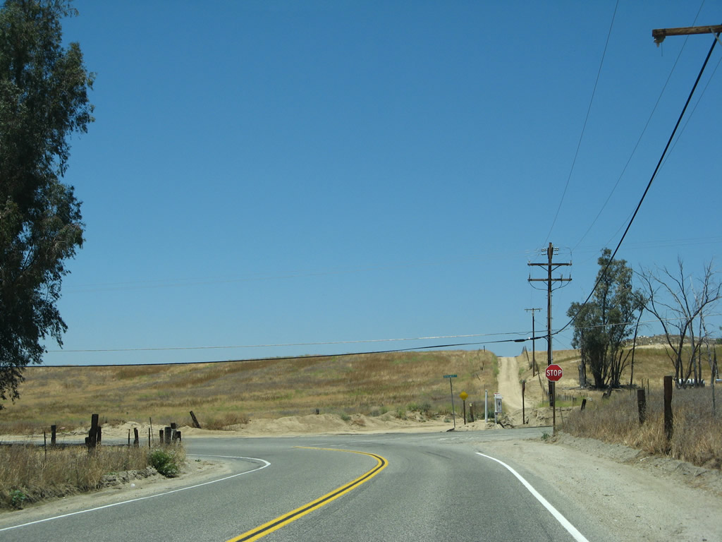
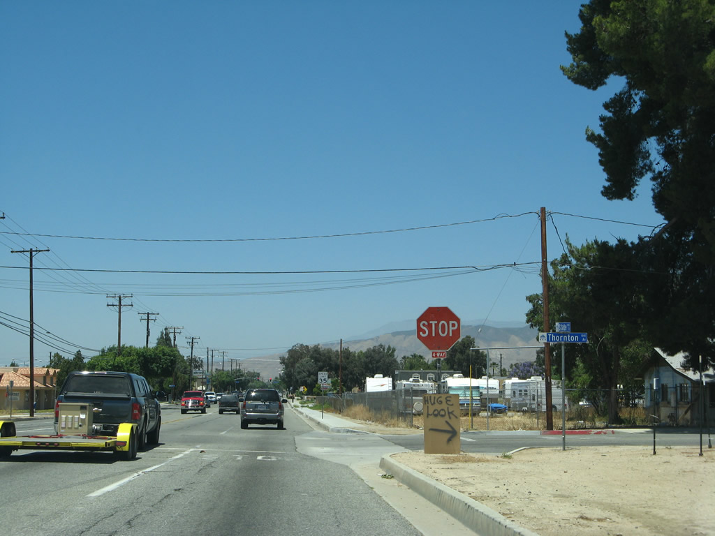
| A four-way stop sign was upgraded to traffic lights at State Street and Thornton Avenue by 2011. 06/07/08 |
|
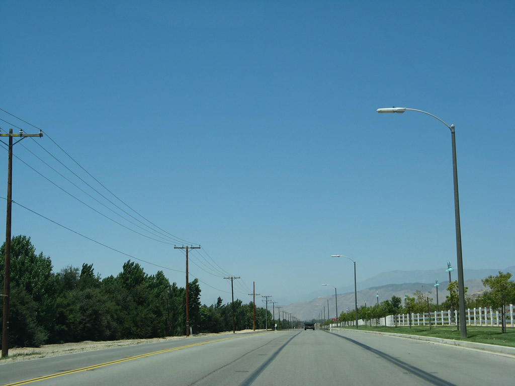
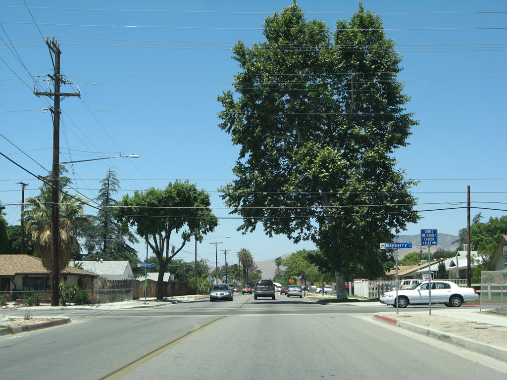
| North of Stetson Avenue, State Street transitions into residential areas of Hemet. With a population of 78,657 as of the 2010 Census, the city of Hemet was incorporated on January 20, 1910. Hemet and the city of San Jacinto share most of the San Jacinto Valley, which is situated east of Perris and southwest of Mt. San Jacinto. 06/07/08 |
|
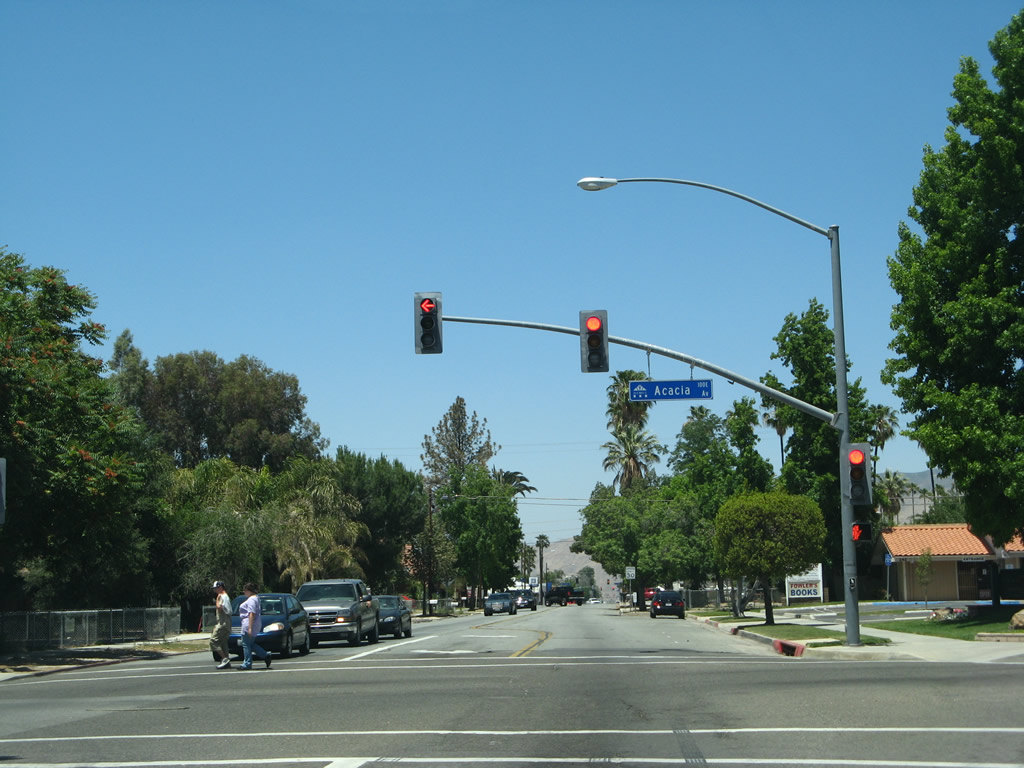
| State Street north at Acadia Avenue. Acacia Avenue parallels SR 74 a quarter half mile to the south as a minor collector. 06/07/08 |
|
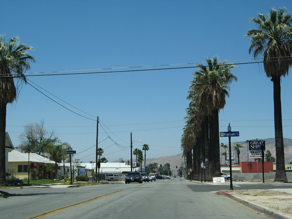
| One block ahead of the SR 74 (Florida Avenue) at Kimball Avenue. County Road R-3 is not posted within the city of Hemet. 06/07/08 |
|
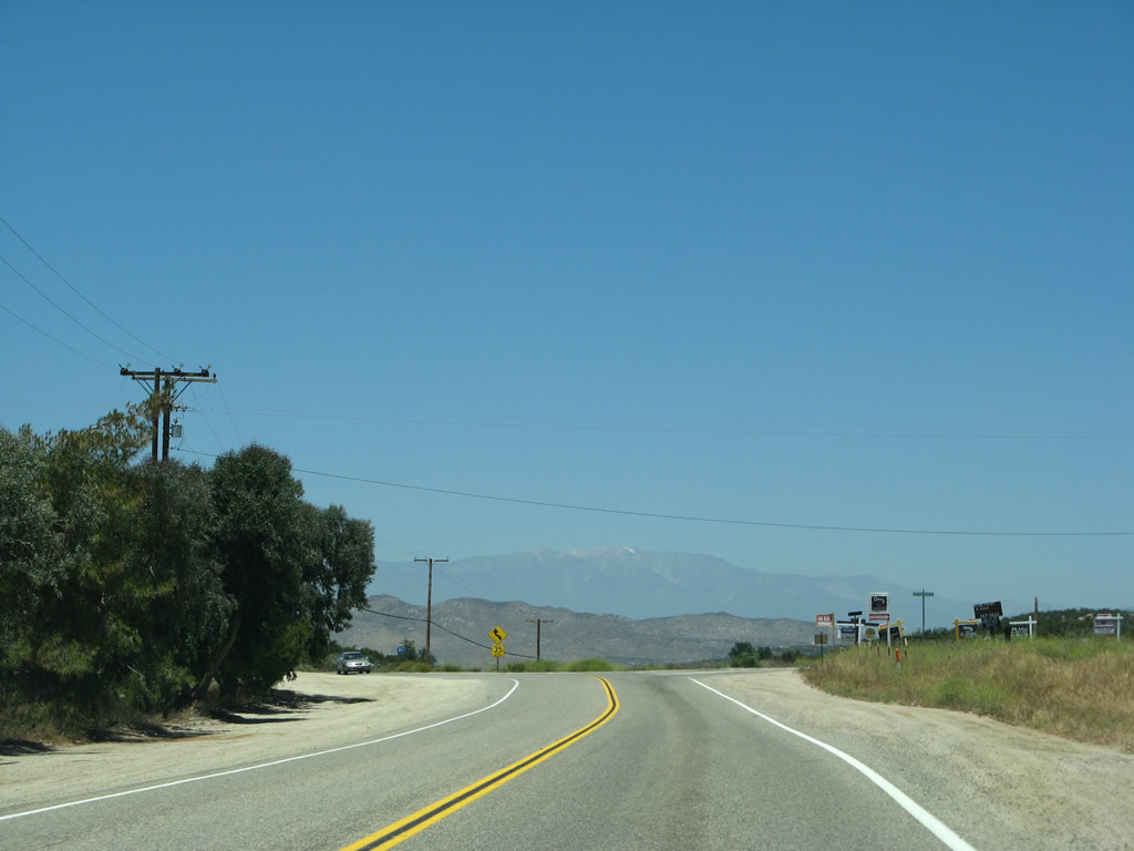
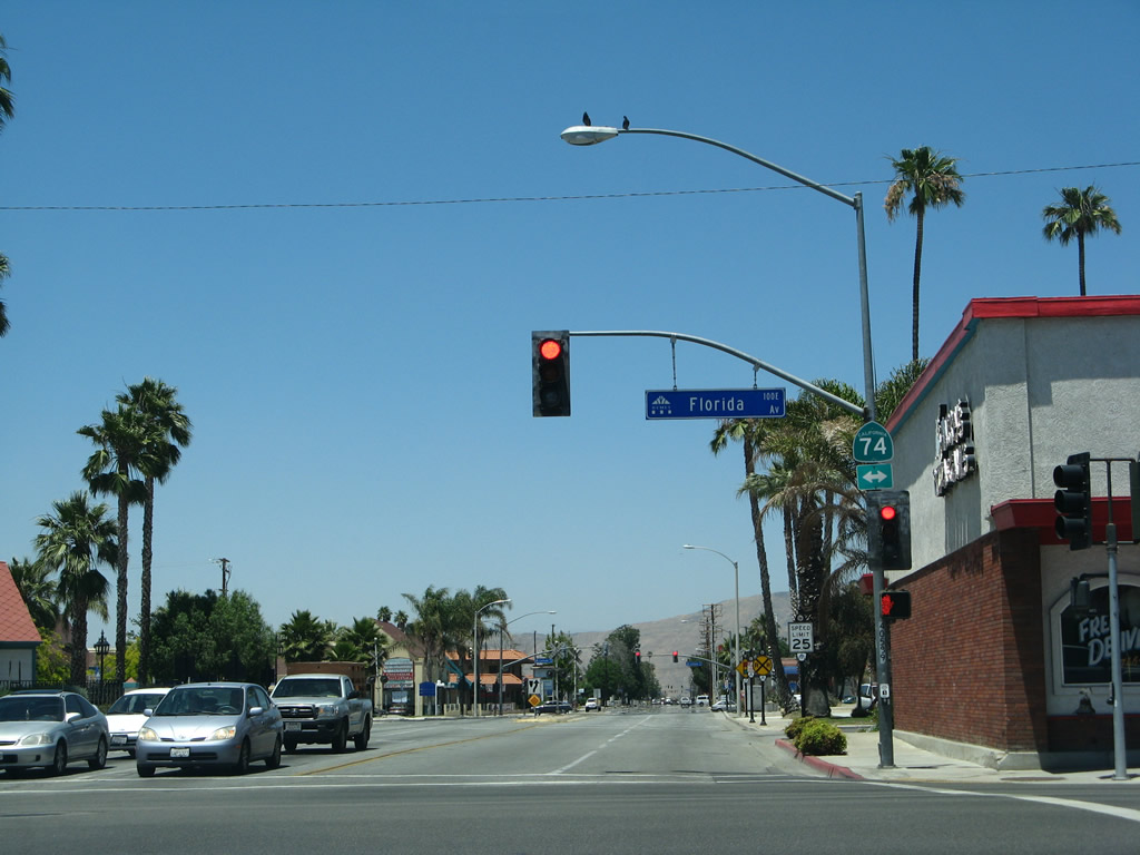
| County Road R-3 (State Street) ends at SR 74 & 79 (Florida Avenue) in Downtown Hemet. SR 74 heads west to Perris and east to Mountain Center and Palm Desert. The SR-79 Realignment Project will shift SR 79 onto an expressway bypass to the west. 06/07/08 |
Page Updated 08-16-2017.