
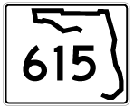
State Road 615 is a 6.17 mile long route following 25th Street through Fort Pierce South, Fort Pierce and Fort Pierce North in St. Lucie County. The arterial route branches south from U.S. 1 with four lanes to the Fort Pierce residential street grid. South of SR 70 (Virginia Avenue), SR 615 reduces to a three lane boulevard en route to Midway Road (CR 611).
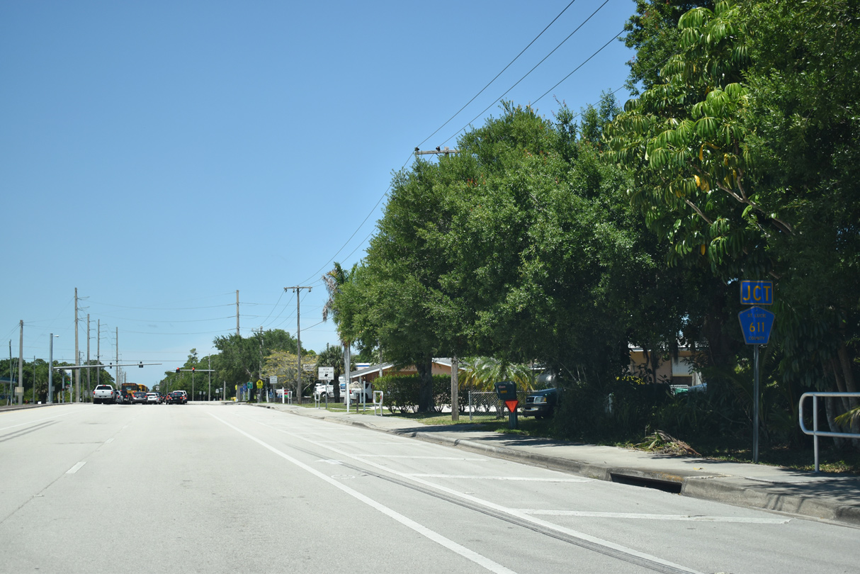
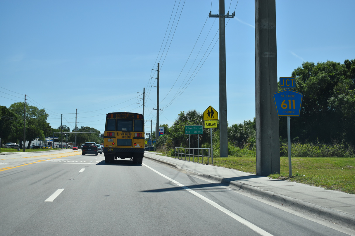
CR 615 (25th Street) updates to SR 615 northbound at the intersection with CR 611 (Edwards Road) at Fort Pierce South.
04/24/19

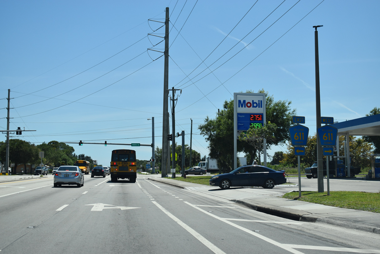
The east-west leg of CR 611 follows Edwards Road 3.57 miles between Jenkins Road and U.S. 1 in Fort Pierce.
04/24/19
 North
North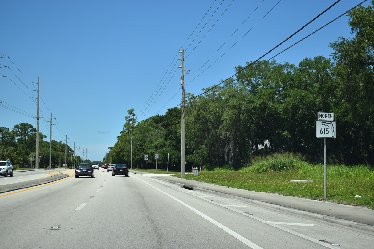
The first confirming marker for SR 615 stands north of CR 611 (Edwards Road).
04/24/19
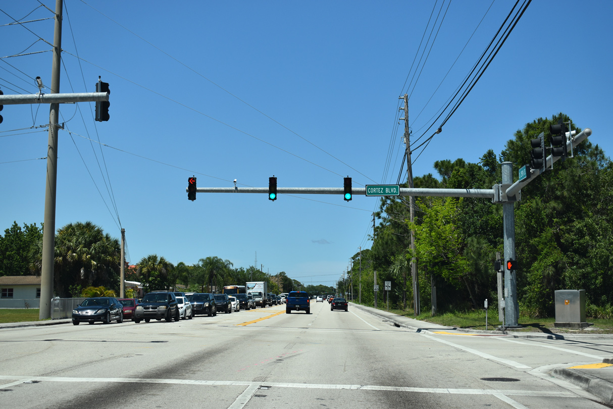
Cortez Boulevard leads west to Indian River State College.
04/24/19
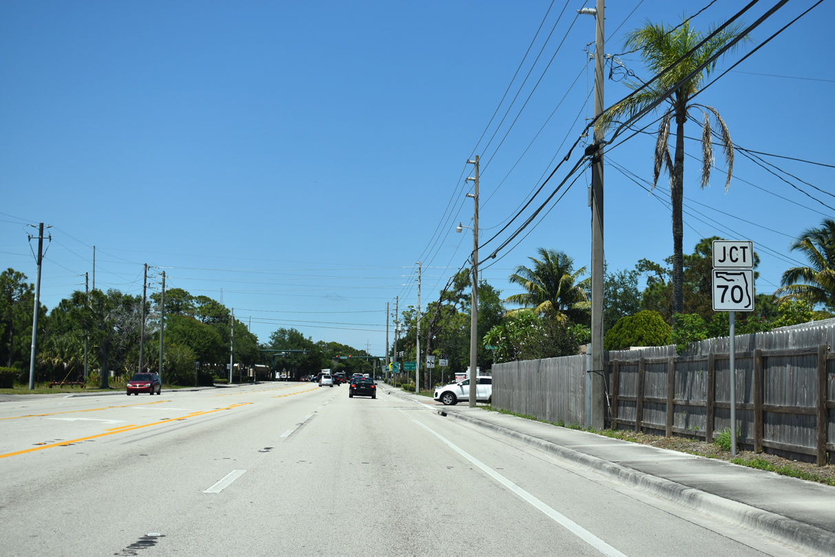
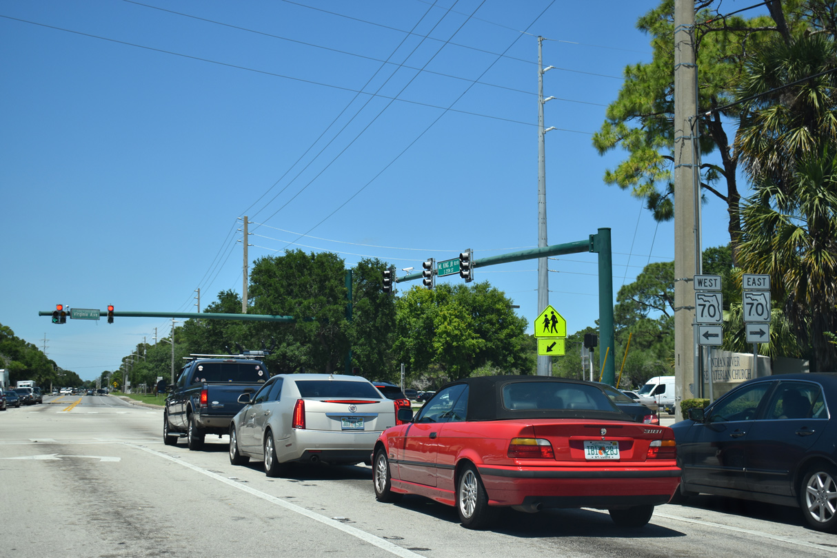
Approaching SR 70 (Virginia Avenue)
04/24/19
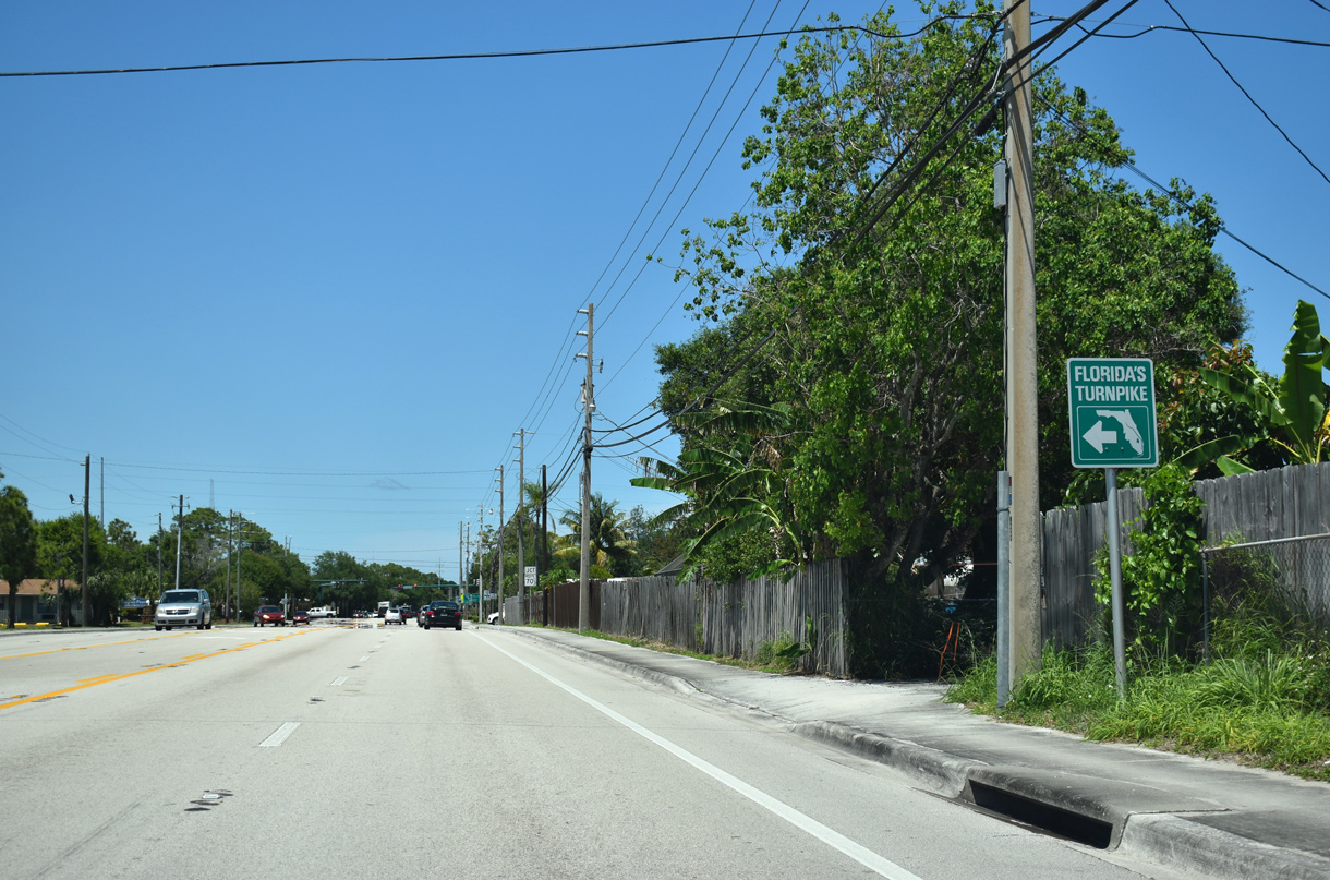
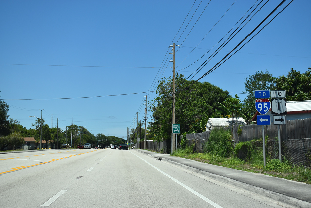
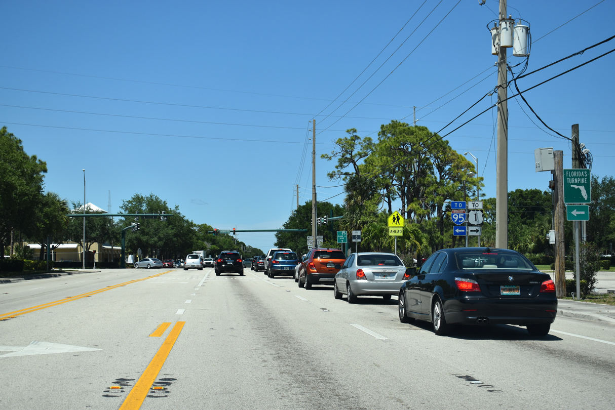
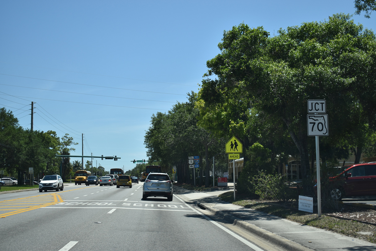
SR 70 west connects with Florida's Turnpike in 3.2 miles.
04/24/19
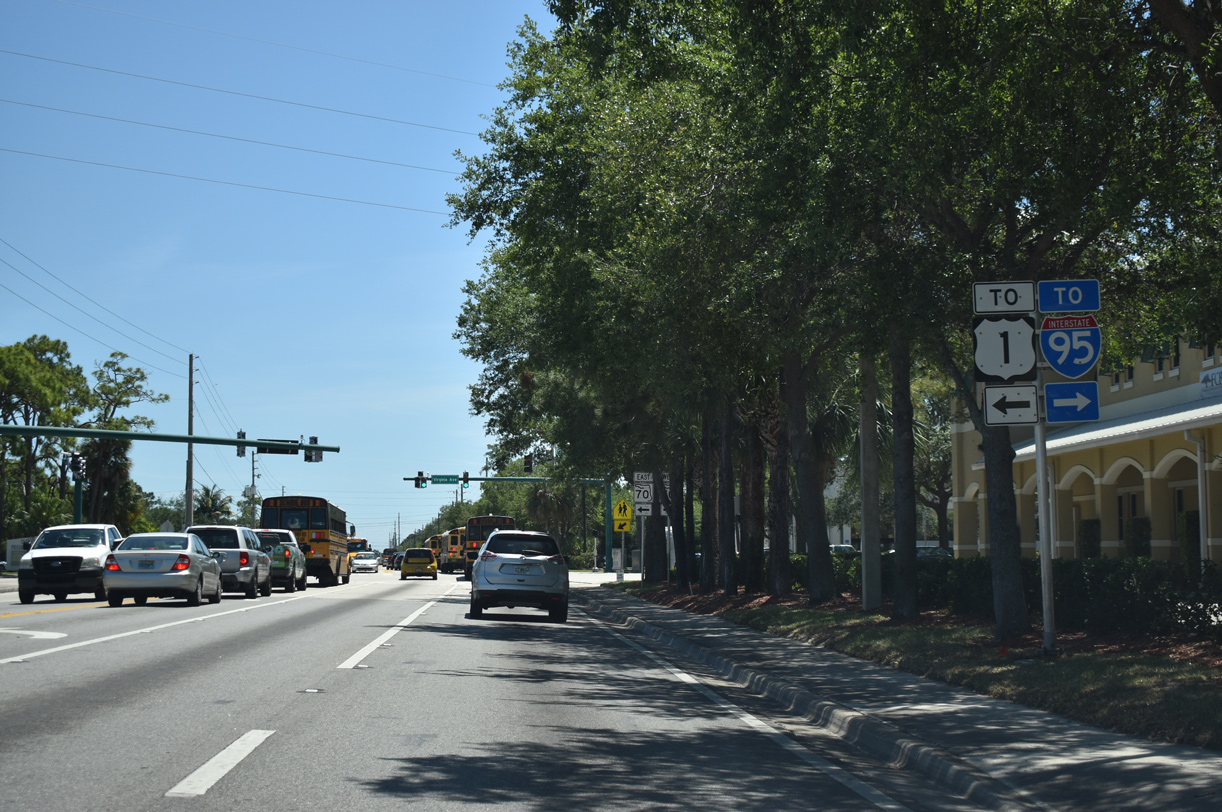
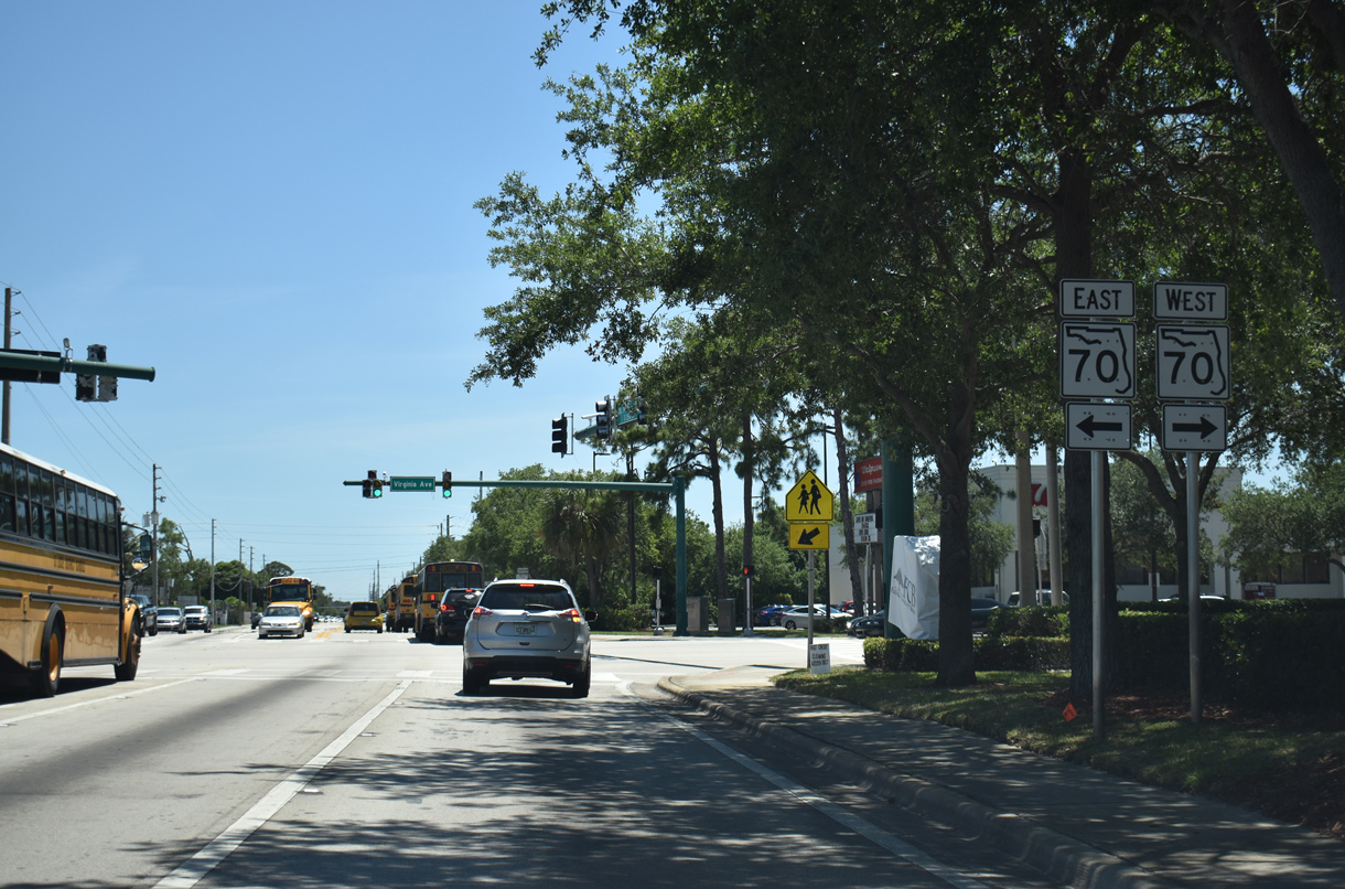
SR 70 branches east from Okeechobee Road along Virginia Avenue into Fort Pierce.
04/24/19
04/24/19
SR 70 stretches across the Florida Peninsula from Ft. Pierce to Oneco south of Bradenton.
04/24/19
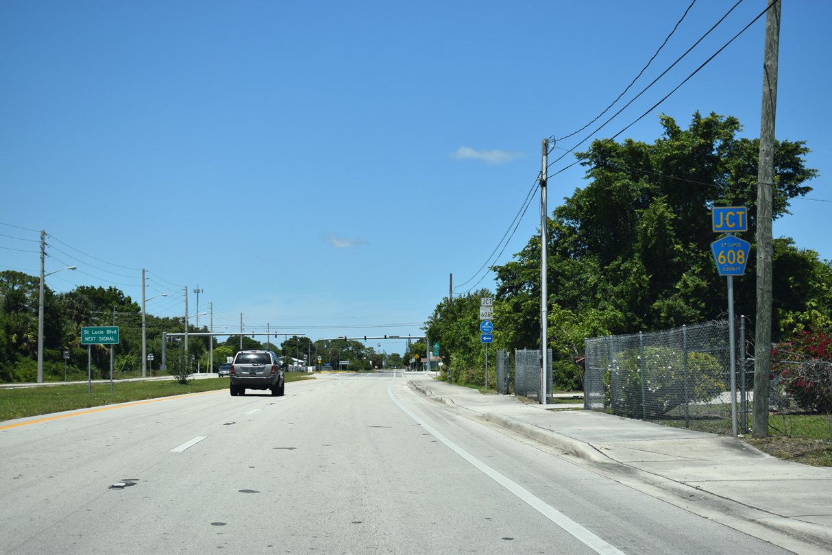
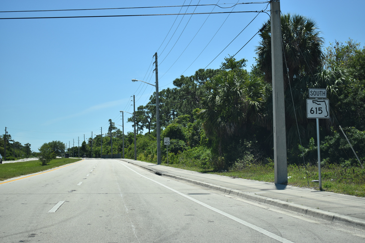
SR 615 meets SR 608/CR 608 (St. Lucie Boulevard) at Fort Pierce North.
04/24/19
SR 608 leads 0.57 mile east to U.S. 1 near the Town of St. Lucie Village.
04/24/19

CR 608 (St. Lucie Boulevard) extends west to Treasure Coast International Airport and Business Park (FPR).
04/24/19
South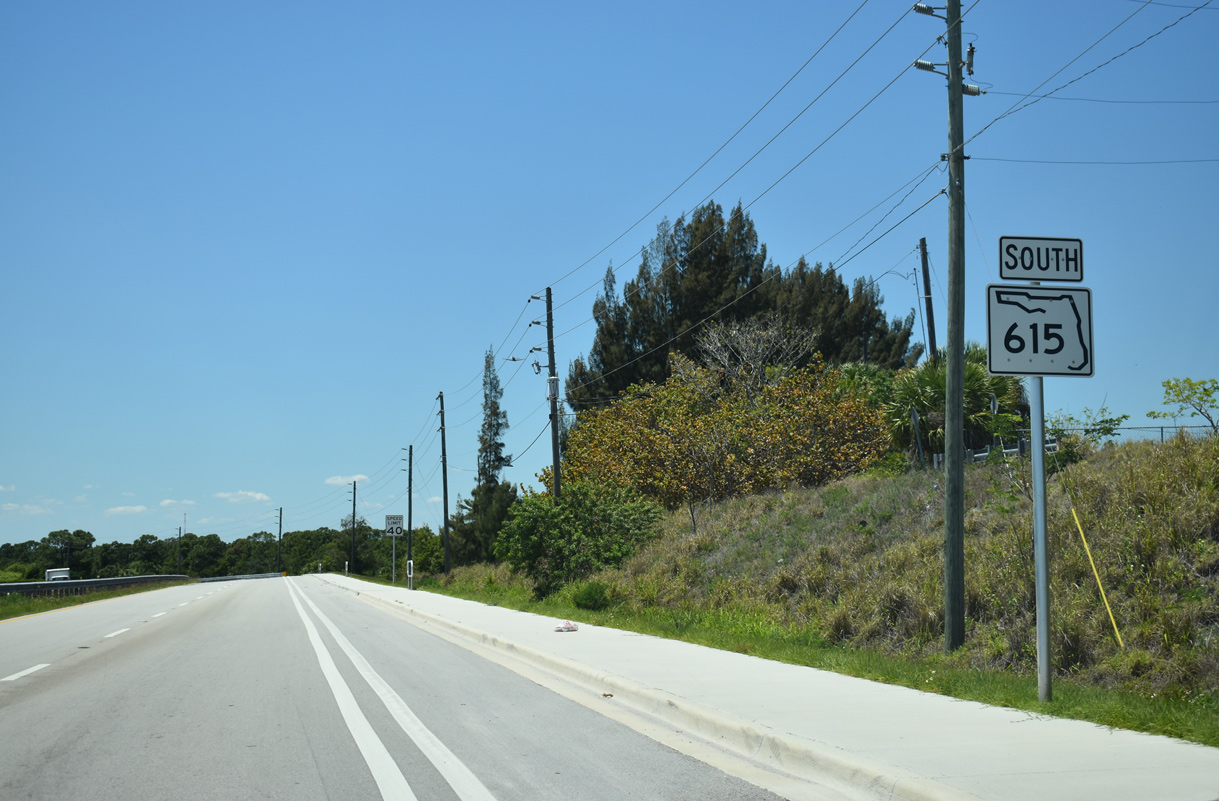
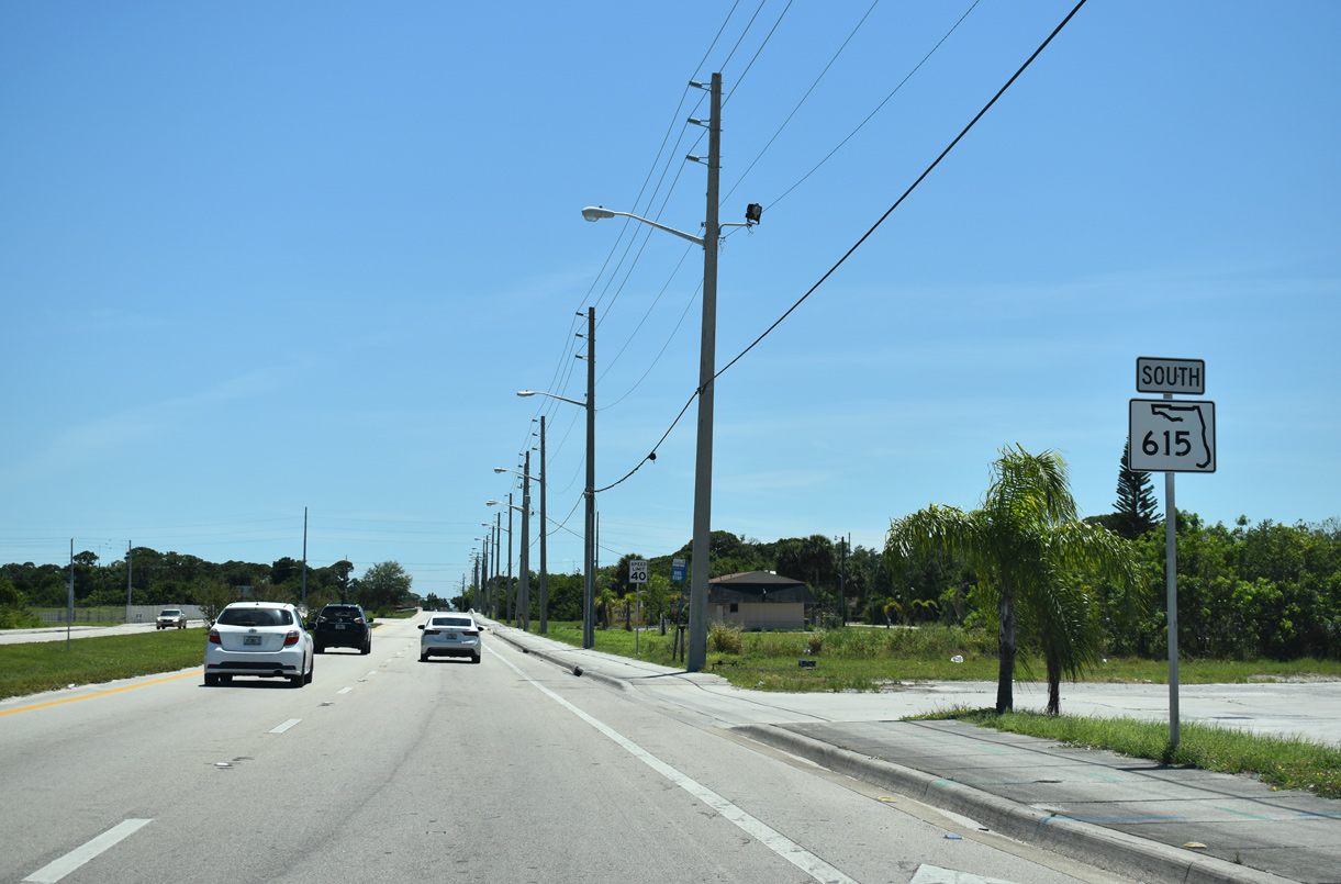
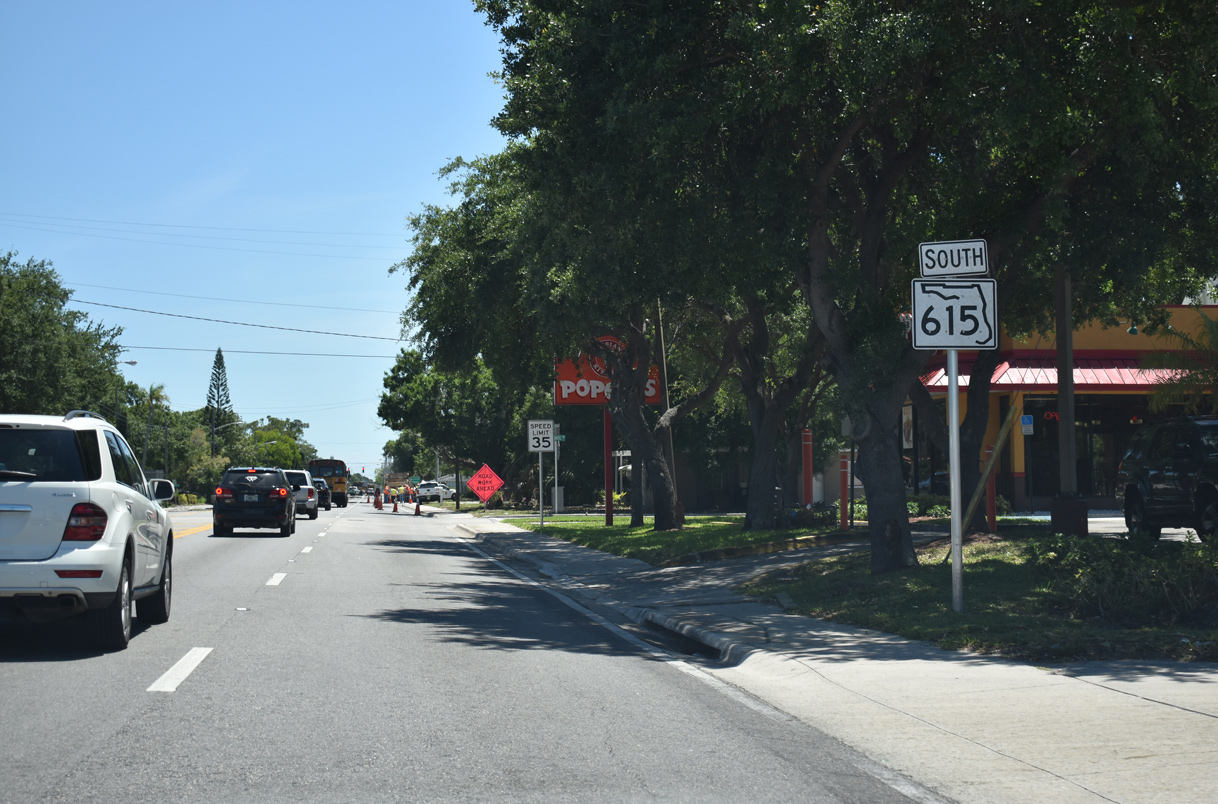
The first southbound shield for SR 615.
04/24/19
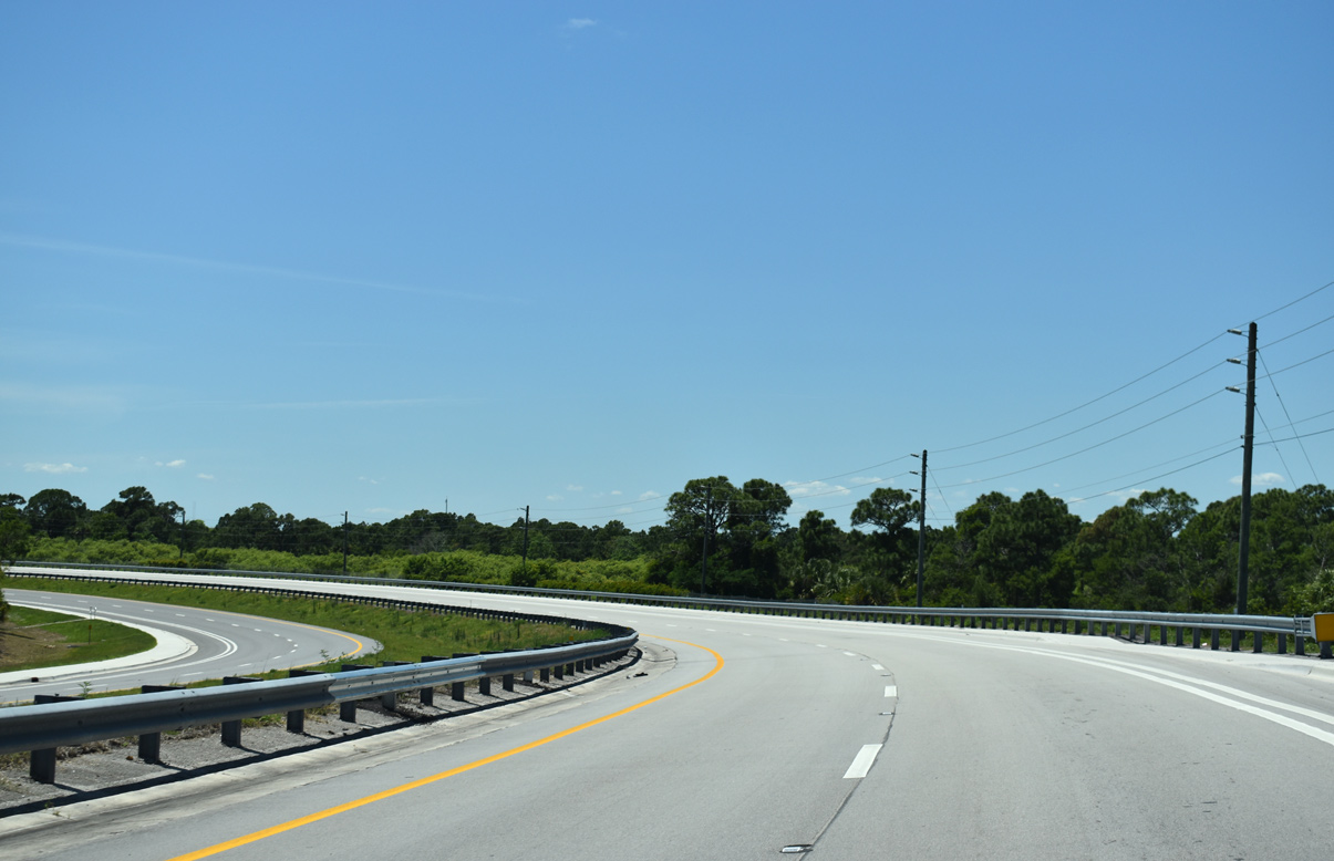
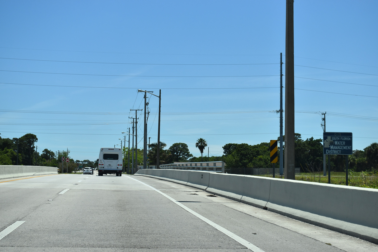
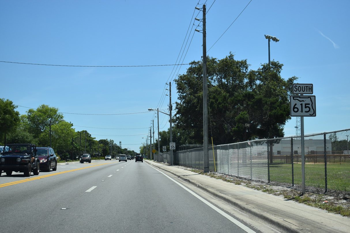
SR 615 curves southwest from U.S. 1 across an area of wetlands.
04/24/19
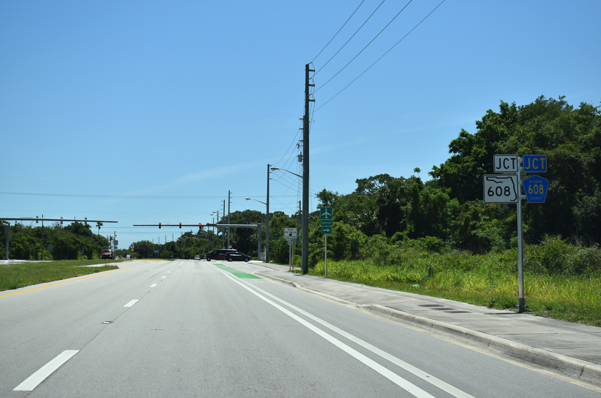
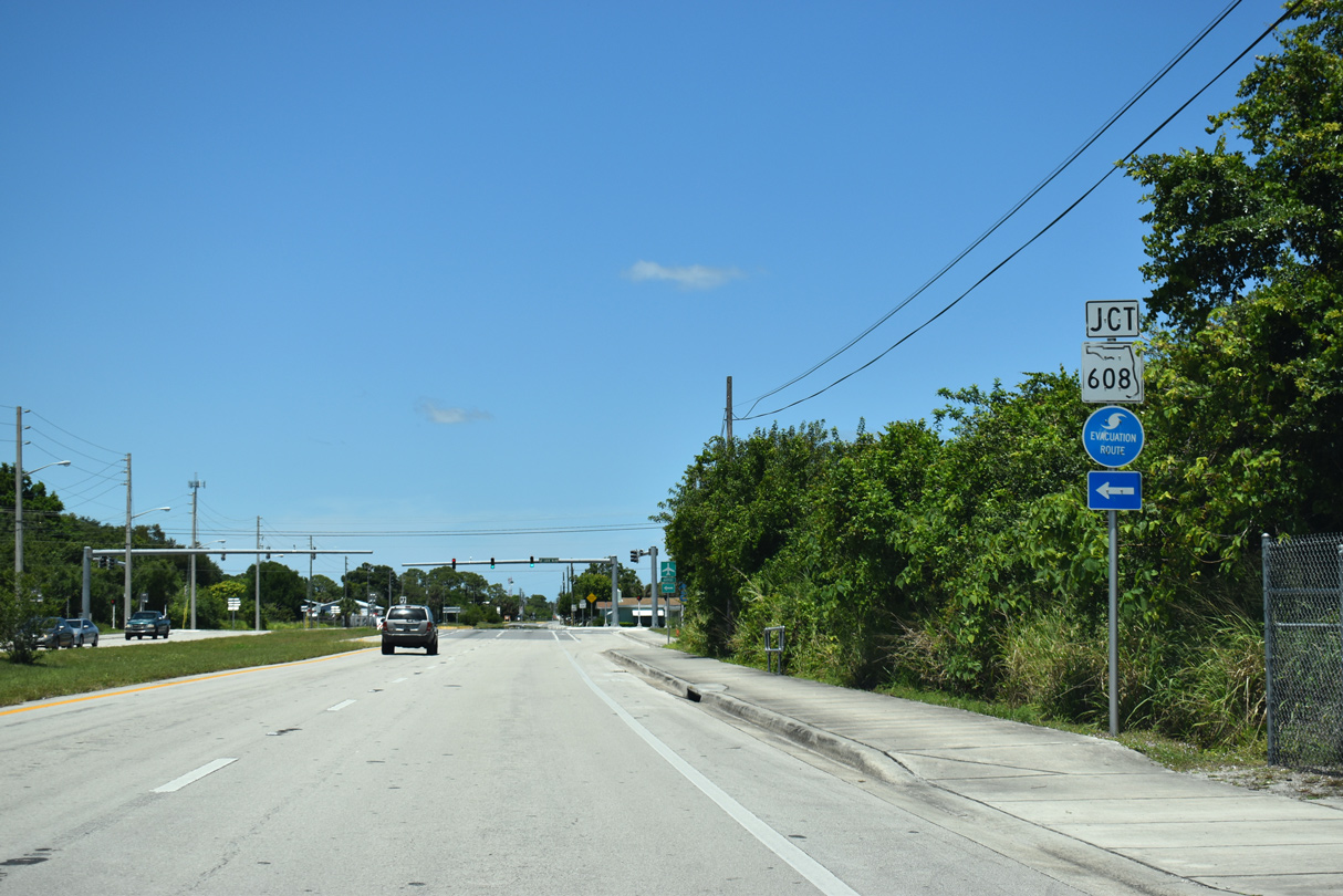
SR 615 (25th Street) meets SR 608/CR 608 east of Treasure Coast International Airport and Business Park (FPR).
04/24/19
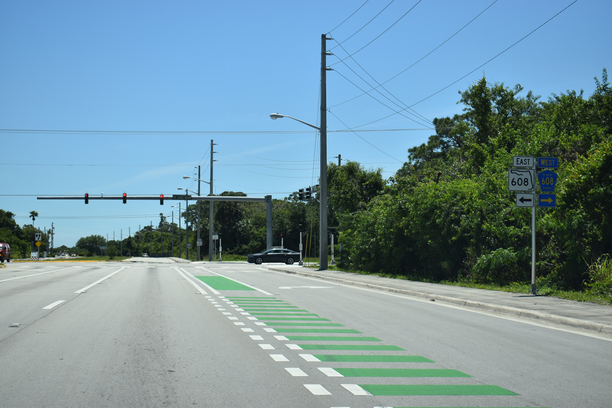
SR 608 leads east to U.S. 1. CR 608 (St. Lucie Boulevard) continues the road west 2.99 miles to SR 713 (Kings Highway).
04/24/19
SR 615 advances south from SR 608/CR 608 to the Paradise Park community.
04/24/19
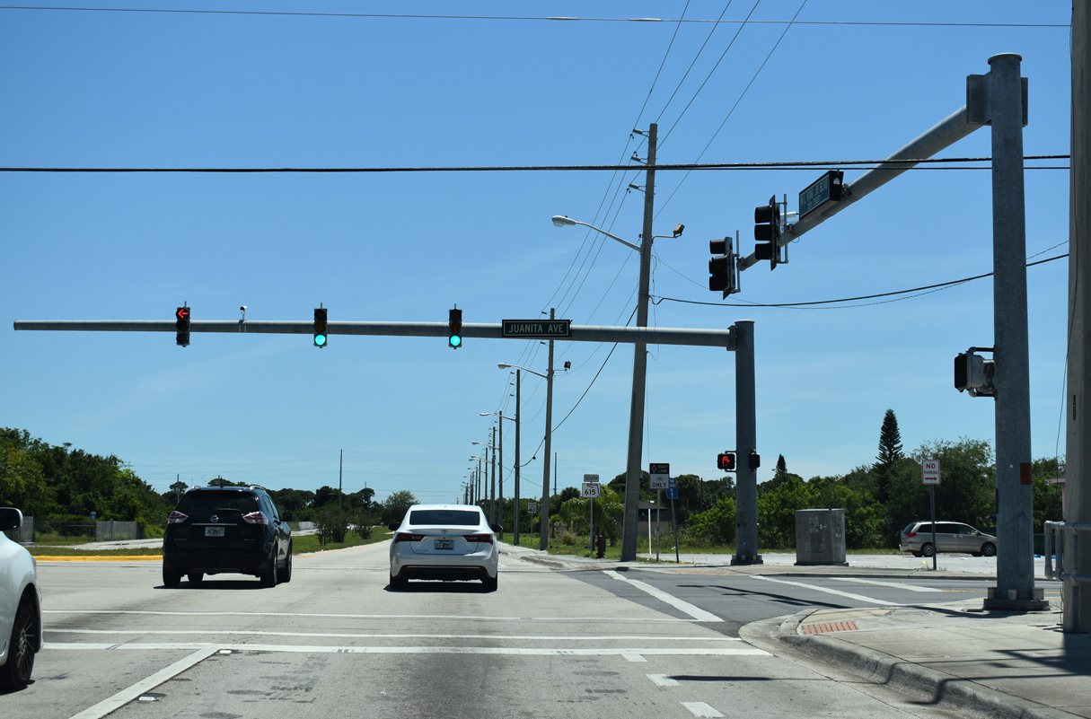
Juanita Avenue leads east to Paradise Park and west to N 53rd Street.
04/24/19
04/24/19
Crossing C-25 (Belcher) Canal
04/24/19
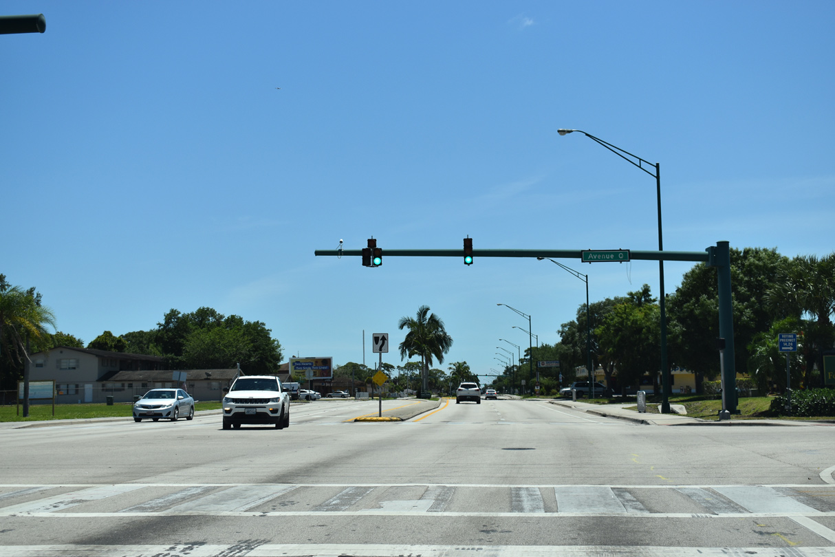
Southbound at Avenue Q
04/24/19
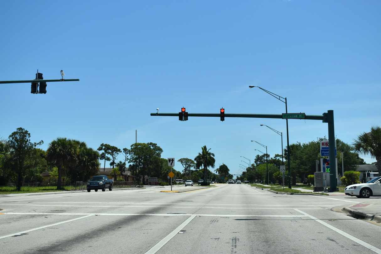
Avenue M
04/24/19
04/24/19
04/24/19
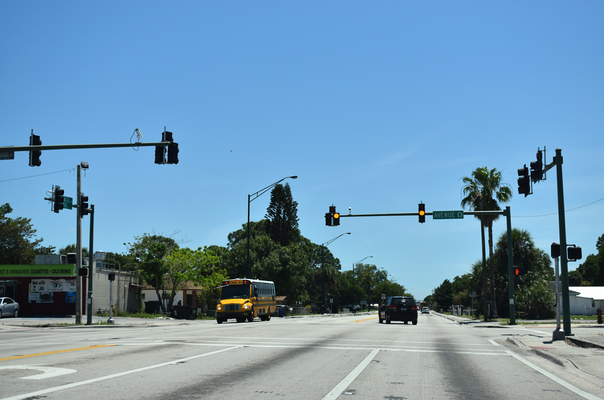
Avenue D leads west to Angle Road (CR 607A) near the Sunland Gardens community.
04/24/19
04/24/19
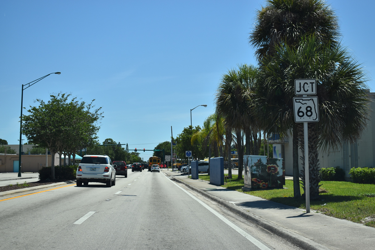
Approaching SR 68 (Orange Avenue)
04/24/19
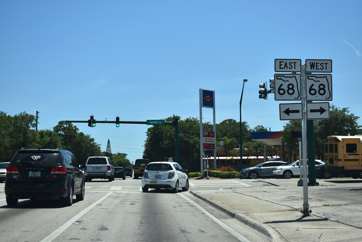
SR 68 follows Orange Avenue 4.5 miles west from U.S. 1 at Downtown Fort Pierce to I-95 and SR 713 (Kings Highway).
04/24/19
SR 615 passes by Dreamland Park one block south of SR 68.
04/24/19
SR 615 (25th Street) intersects Delaware Avenue by Elk's Park.
04/24/19
04/24/19
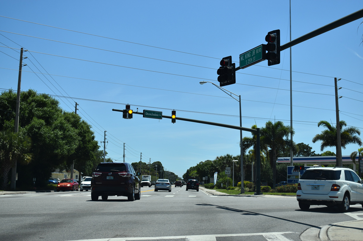
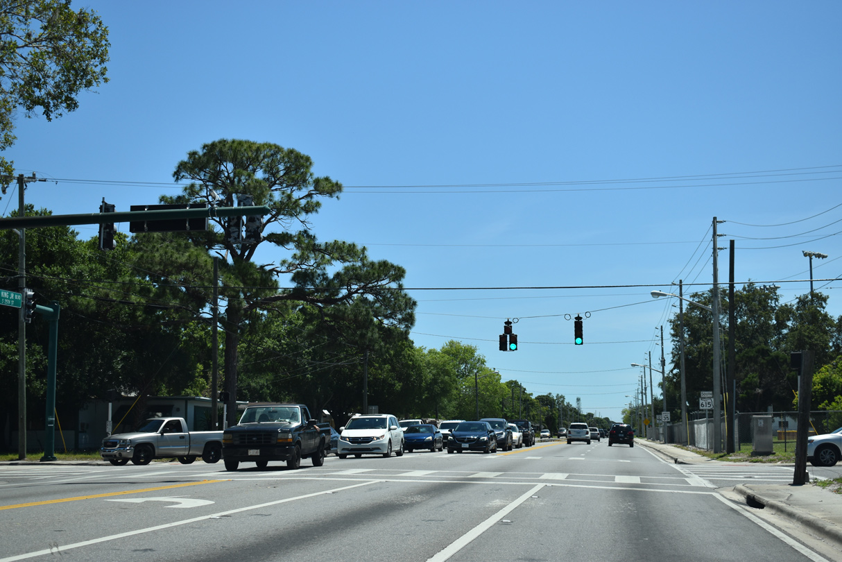
Okeechobee Road (CR 770) angles southwest across SR 615 from Delaware Avenue to SR 70 (Virginia Avenue).
04/24/19

04/24/19
SR 70 follows Virginia Avenue east from Okeechobee Road and Hartman Road to U.S. 1 south of Downtown Fort Pierce.
04/24/19
04/24/19
SR 70 constitutes a 148 mile long highway from the Treasure Coast to the Bradenton area in Manatee County.
04/24/19
04/24/19
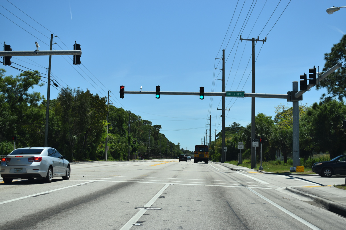
SR 615 (25th Street) south at Cortez Boulevard.
04/24/19
04/24/19
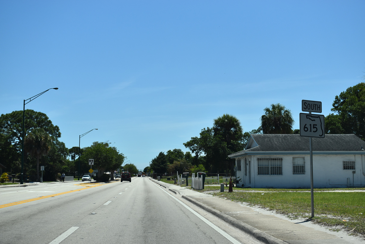
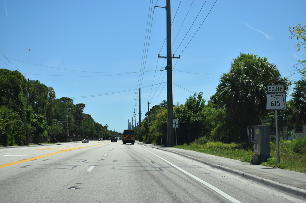
SR 615 concludes at forthcoming CR 611 (Edwards Road).
04/24/19
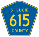
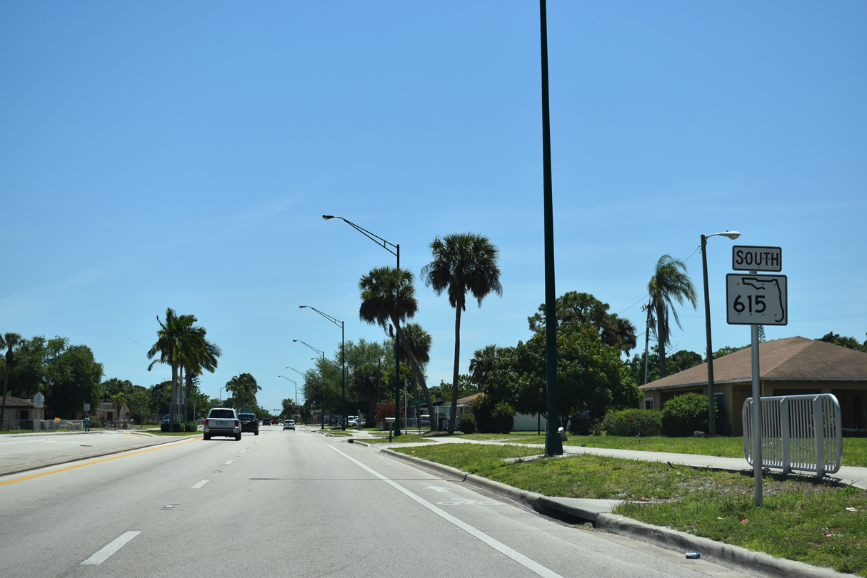
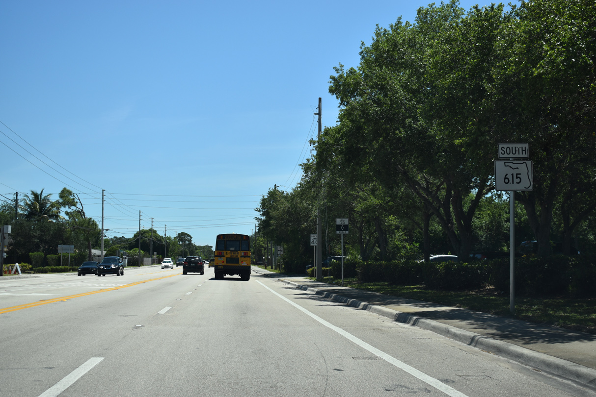
CR 615 extends south along 25th Street from CR 611 to St. James Drive in Port St. Lucie.
04/24/19
Photo Credits:
04/24/19 by AARoads
Connect with:
U.S. 1
State Road 68 / County Road 68
State Road 70
State Road 608
Page Updated 10-22-2019.