|
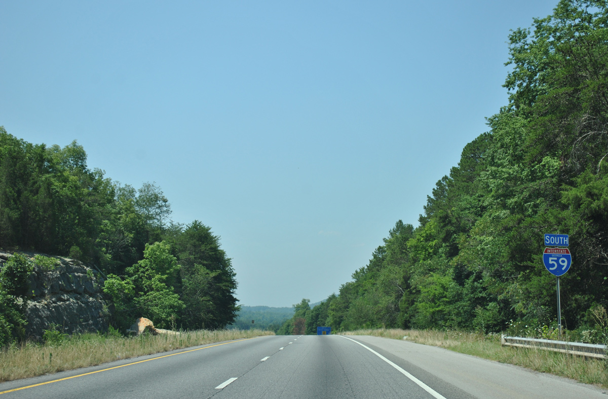
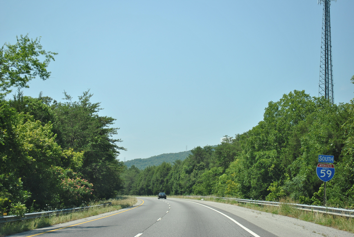
| Passing by the first confirming marker of Interstate 59 south, the freeway travels through a valley between Tatum Mountain and Slygo Ridge. 06/25/12 |
|
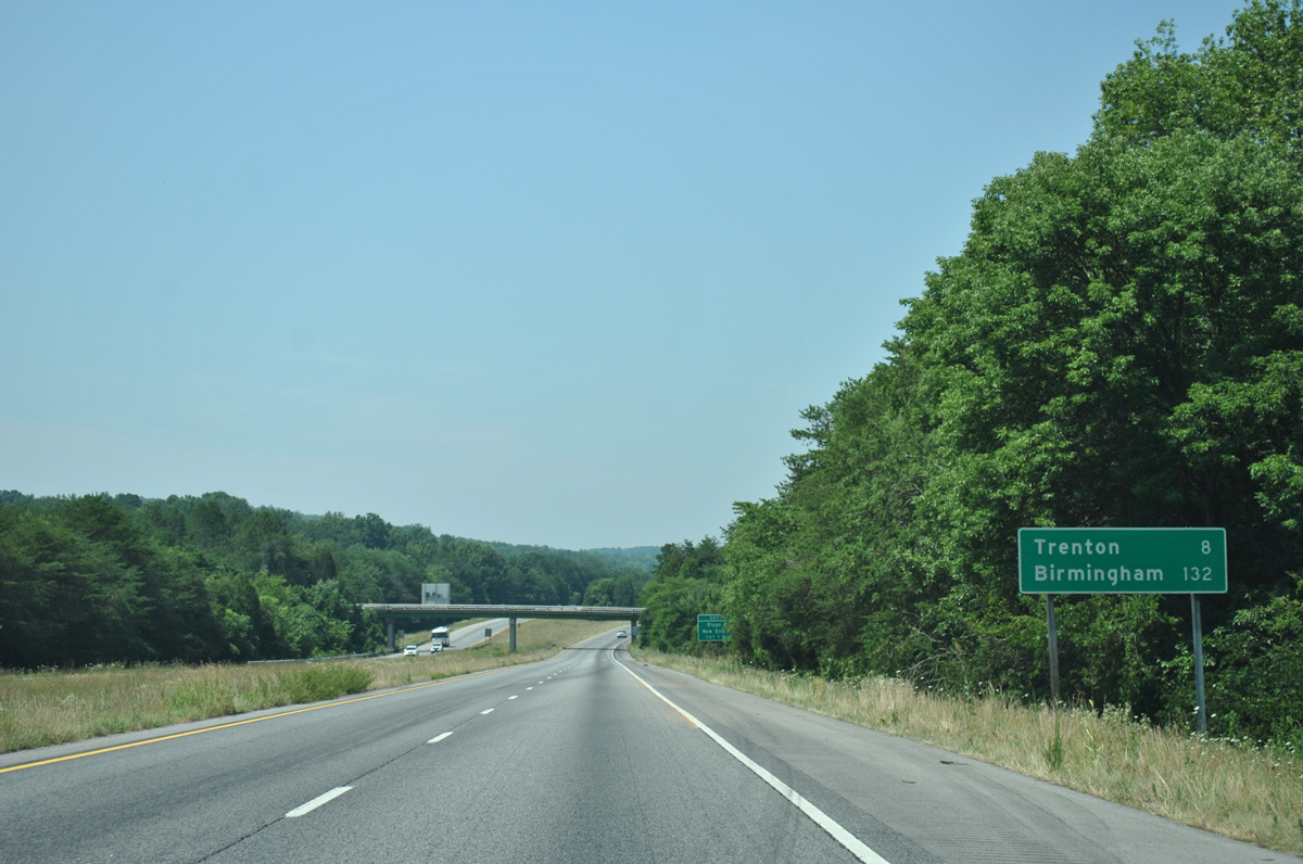
| Heading southwest through Dade County, the county seat of Trenton lies eight miles ahead. Interstate 59 reaches Birmingham, Alabama in 132 miles. 06/25/12 |
|
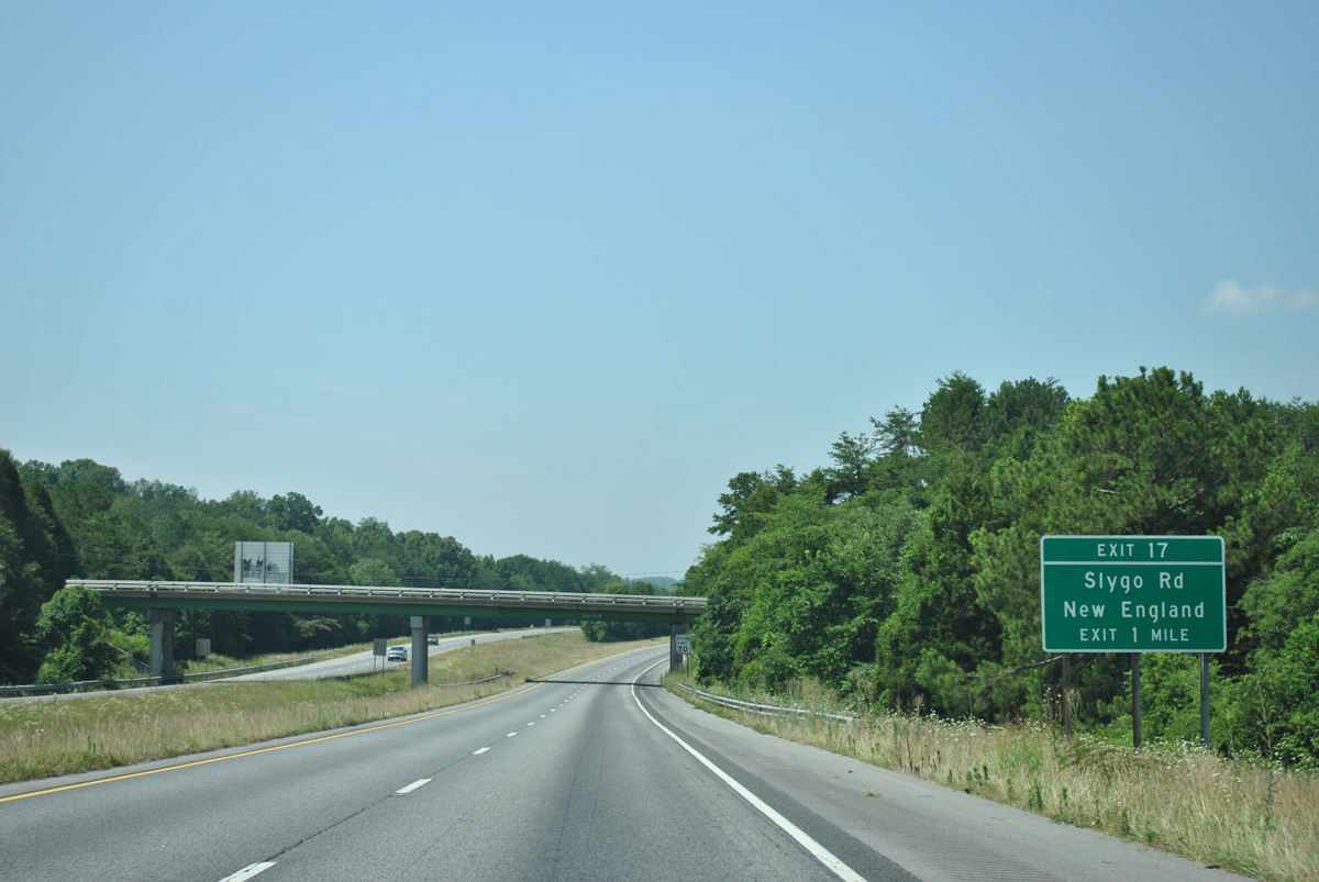
| Slygo Road angles southwest from SR 299, paralleling I-59 south to a diamond interchange (Exit 17) in Slygo Valley. 06/25/12 |
|
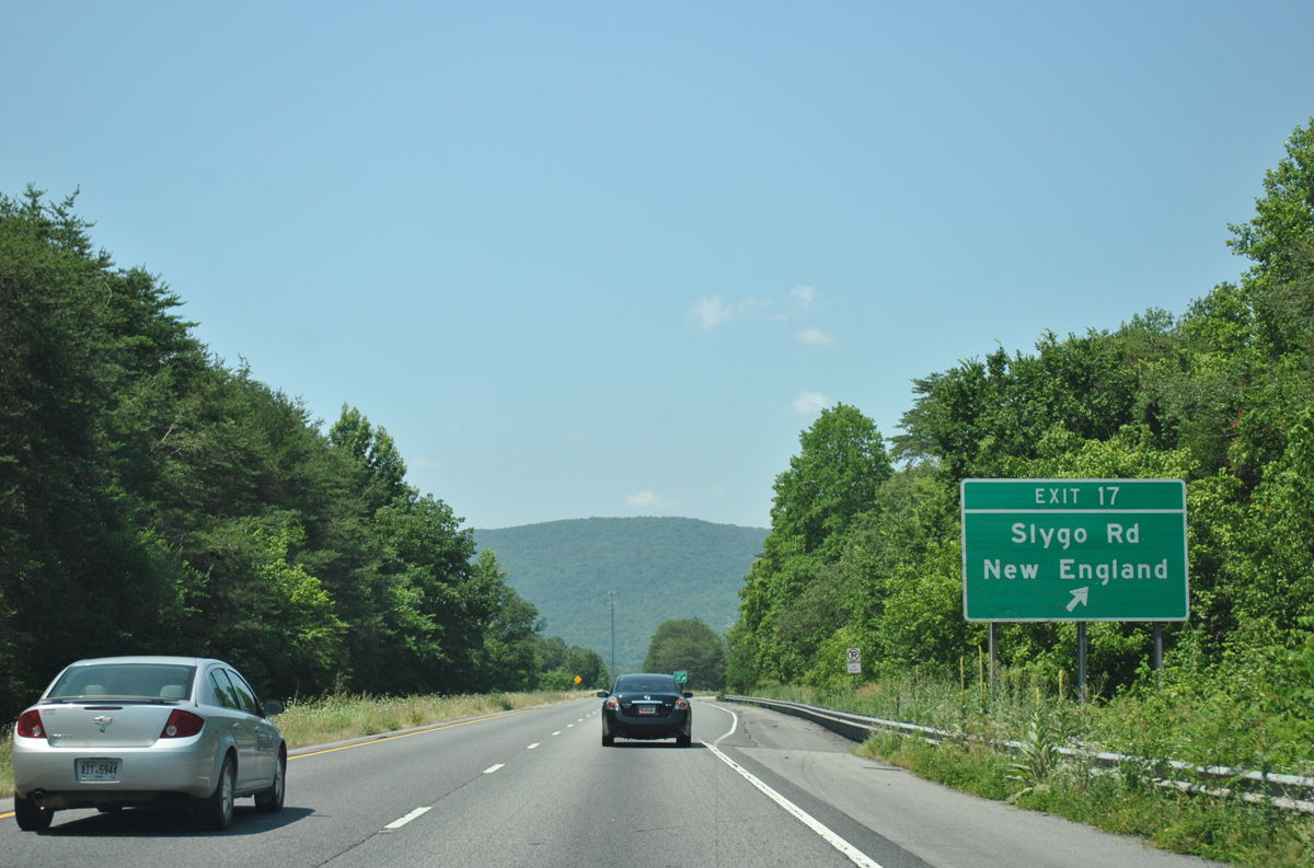
| Slygo Road intertwines with Interstate 59 south from Exit 17 to U.S. 11 at the community of New England. Morganville Ridge Road ties into Slygo Road from Morganville to the east. 06/25/12 |
|
| Interstate 59 makes an S-curve south from Slygo Valley, crossing Squirrel Town Creek ahead of New England. 06/25/12 |
|
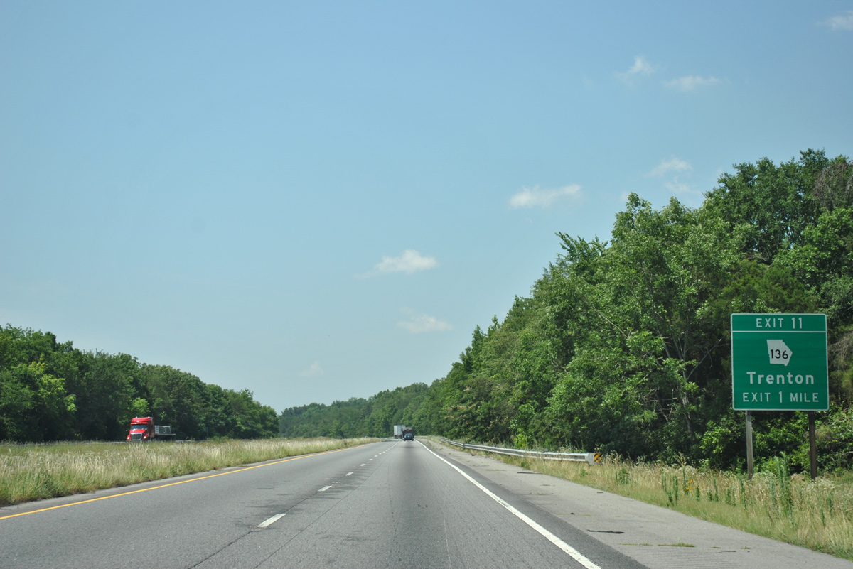
| Turning back to the southwest, I-59 runs between U.S. 11 (Main Street) and the east ridge of Sand Mountain to the city of Trenton. Meeting the freeway in one mile is SR 136 (White Oak Gap Road). 06/25/12 |
|
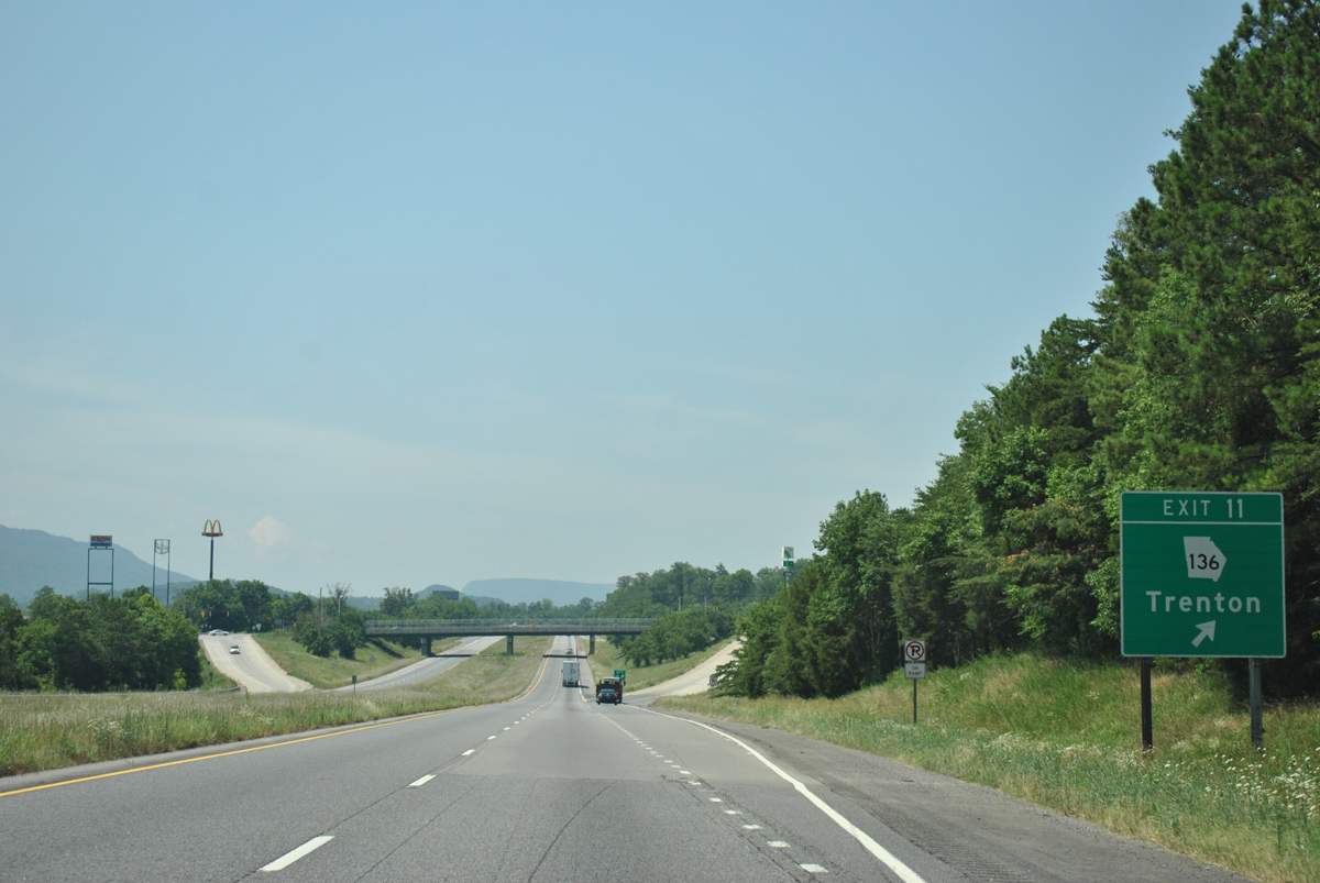
| Entering the diamond interchange (Exit 11) with SR 136 (White Oak Gap Road) on I-59 south. SR 136 winds west from Trenton 5.2 miles to the Alabama state line, where SR 71 begins. East from a short overlap with U.S. 11 on Main Street, SR 136 climbs onto Lookout Mountain ahead of Cloudland Canyon State Park. The 3,485 acre preserve features hiking trails, camping and swimming. 06/25/12 |
|
| Former reassurance marker posted south of Exit 11 in Trenton. This assembly was removed sometime after 2008. 06/18/05 |
|
| An abandoned parking area or vista point is located just outside the Trenton city limits along Interstate 59. 06/25/12 |
|
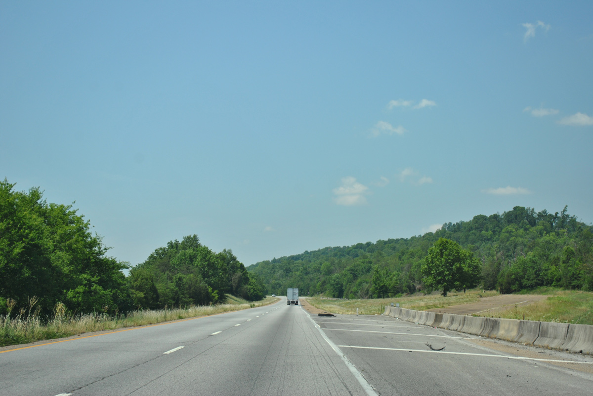
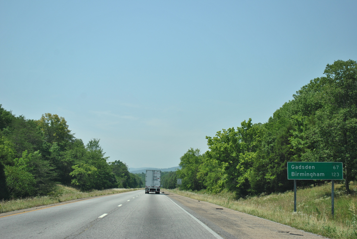
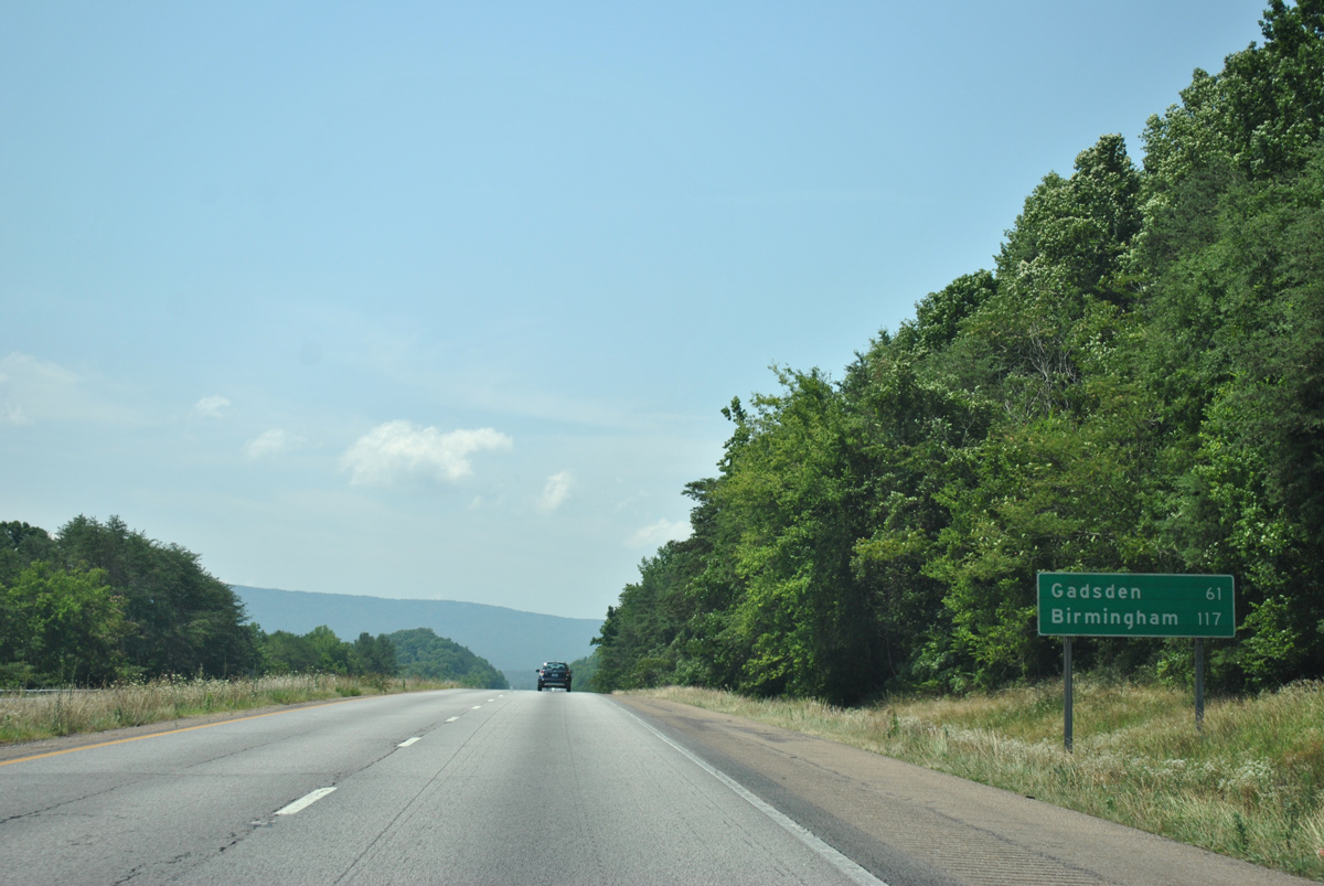
| Gadsden, Alabama joins Birmingham as the southbound destination cities for Interstate 59 in this distance sign near milepost 9. 06/25/12 |
|
| Approaching Pudding Ridge along I-59 south near Tadpole Branch. 06/25/12 |
|
| The freeway shifts eastward from Pudding Ridge toward an agricultural valley fed by Lookout Creek. 06/25/12 |
|
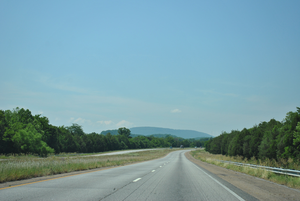
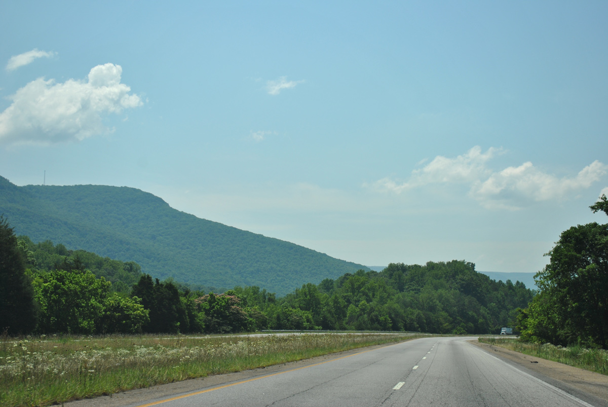
| Easley Gap on Lookout Mountain appears to the east in this scene. 06/25/12 |
|
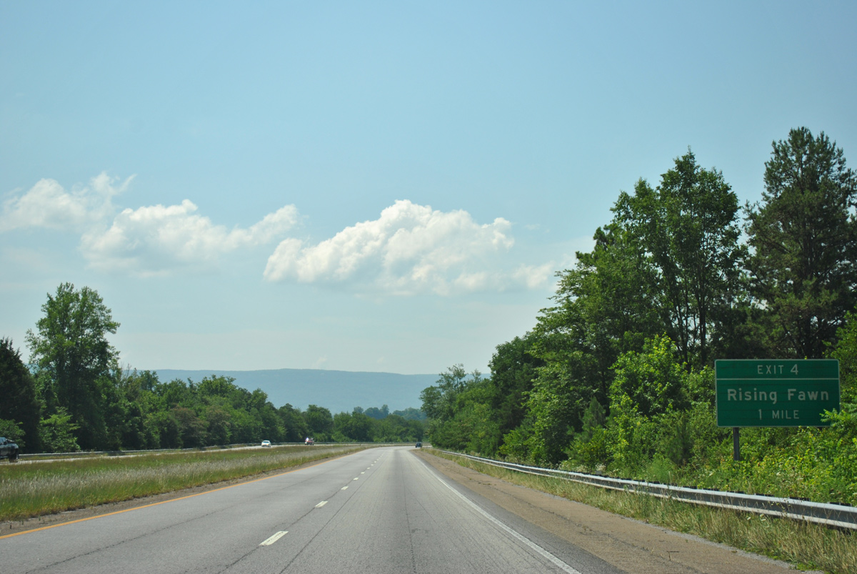
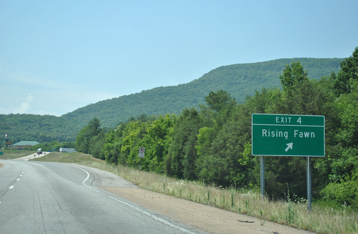
| A diamond interchange (Exit 4) connects Interstate 59 with Deer Head Cove Road in one mile near the community of Rising Fawn. 06/25/12 |
|
| Deer Head Cove Road ties into adjacent U.S. 11 just north of Rising Sun. U.S. 11/SR 58 stay just east of Interstate 59 to DeKalb County, Alabama. 06/25/12 |
|
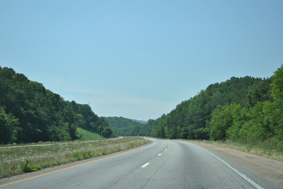
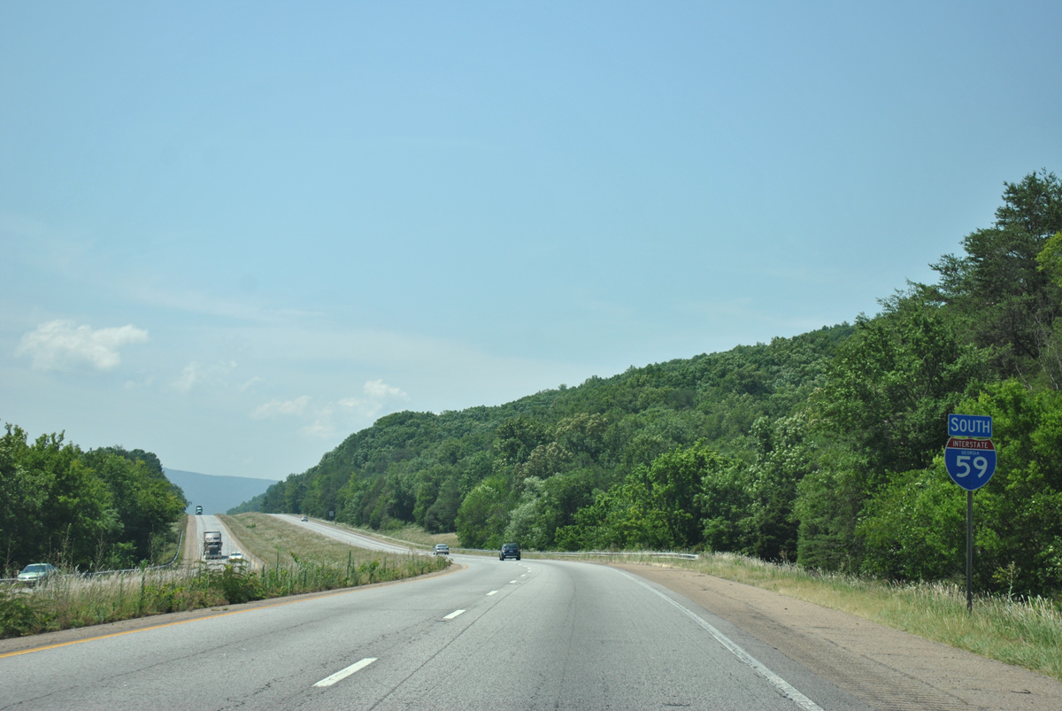
| Continuing south, Interstate 59 circles around the east side of Fox Mountain to the state line. 06/25/12 |
|
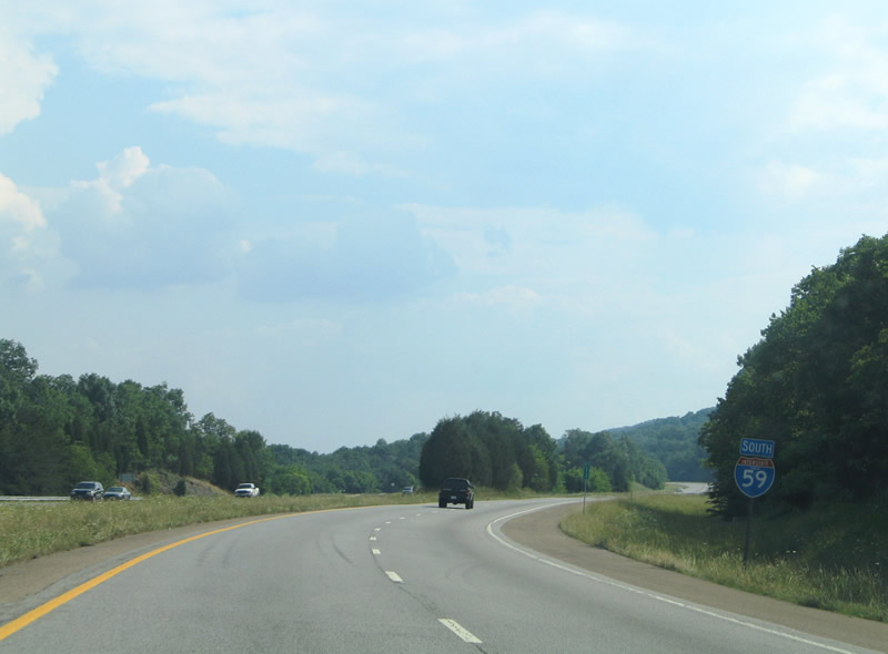
| Gadsden, Alabama is less than an hour south of Rising Fawn. Birmingham is 117 miles away. 06/25/12 |
|
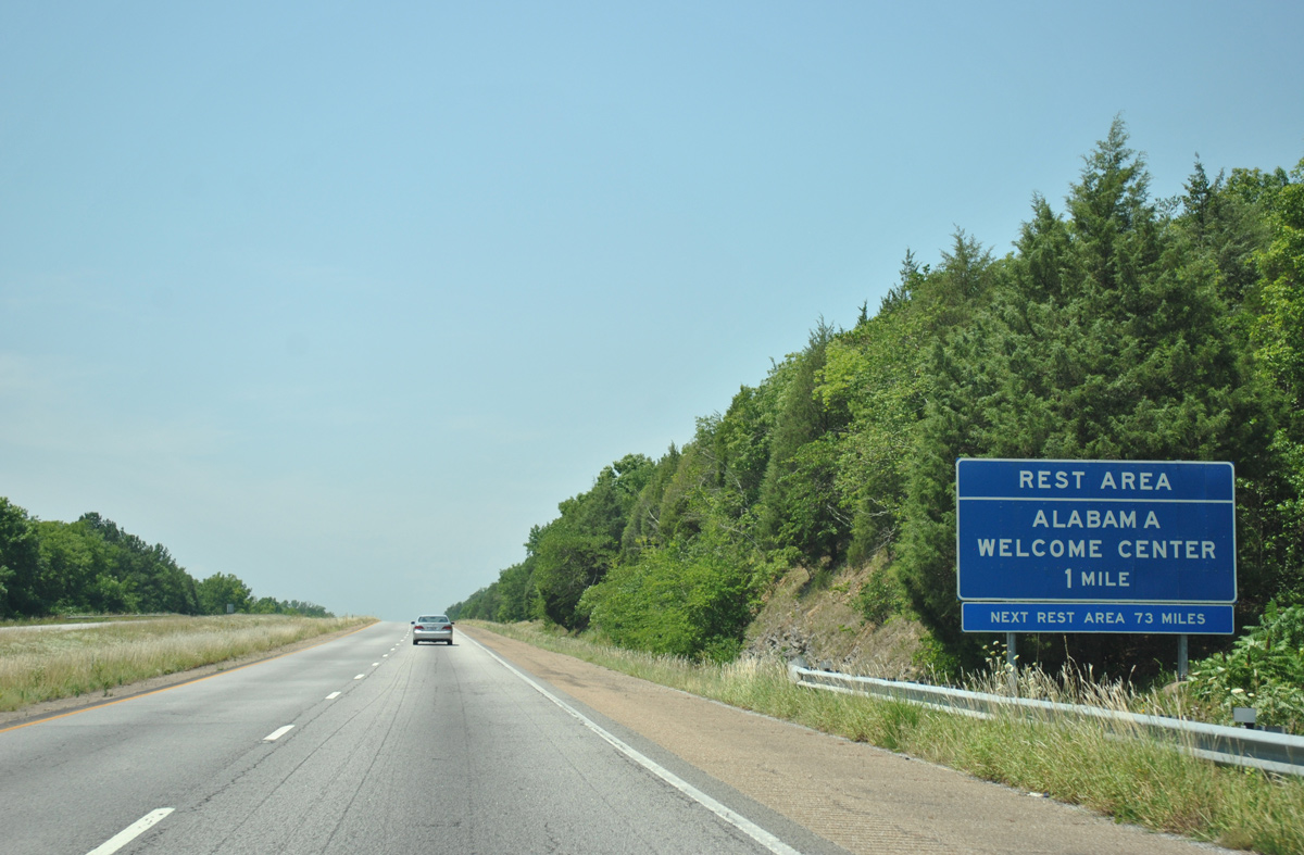
| The Alabama welcome center lies just beyond the state line near Sulphur Springs. 06/25/12 |
Page Updated 07-06-2017.

 South
South