


 East
East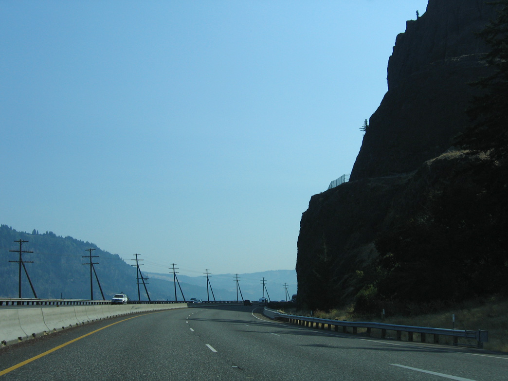
08/28/06
08/28/06
08/28/06
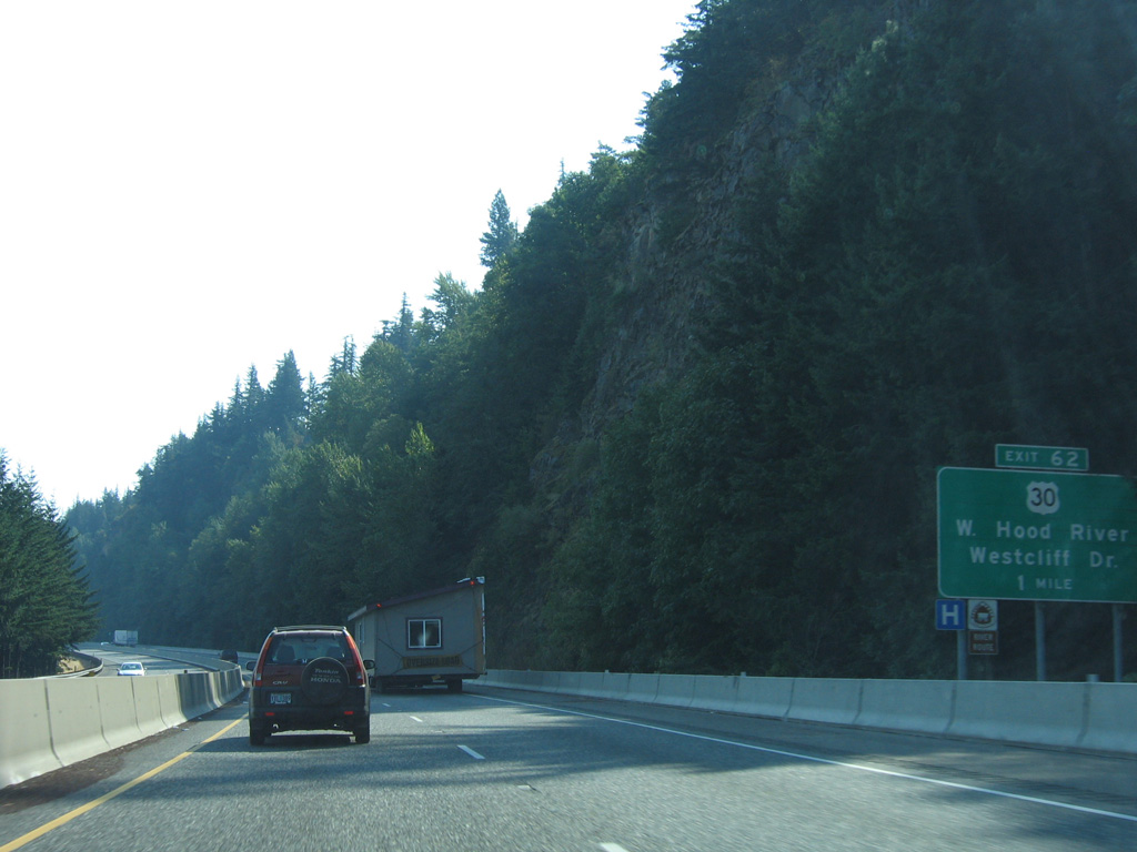
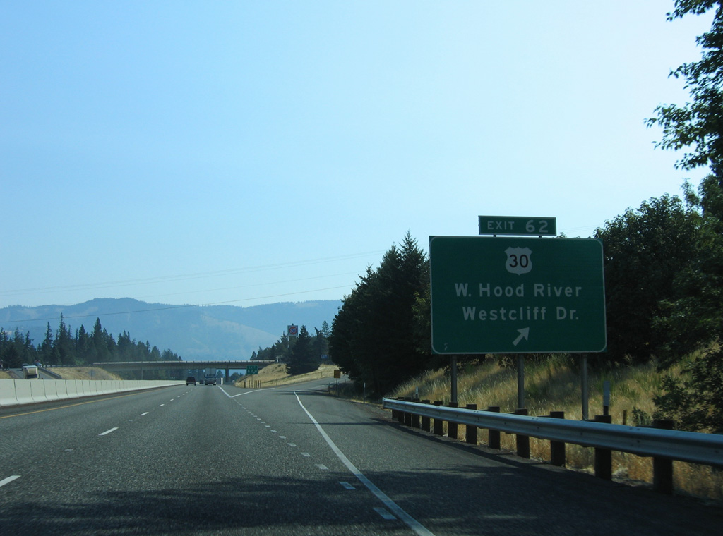
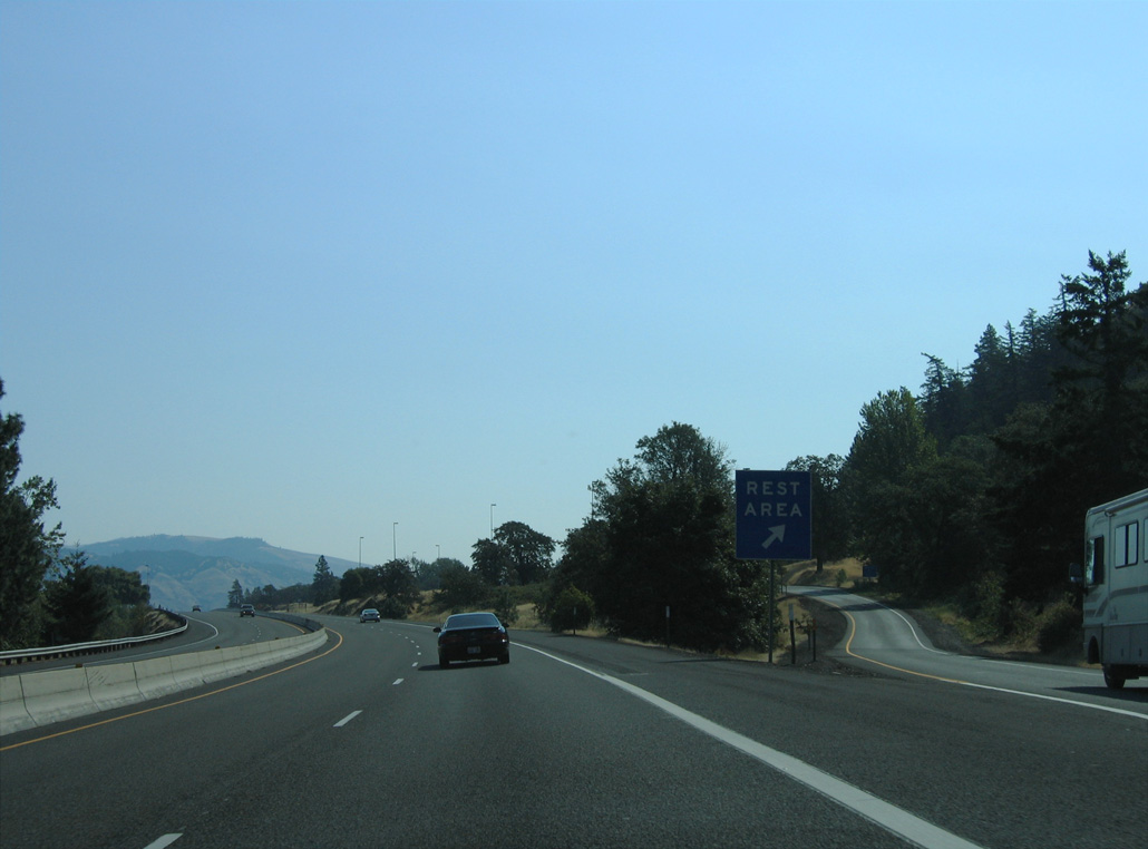
U.S. 30 parts ways with I-84 east at the diamond interchange with Cascade Avenue and Westcliff Drive in Hood River. U.S. 30 returns to I-84 in 2.99 miles at Exit 64.
08/28/06
08/28/06
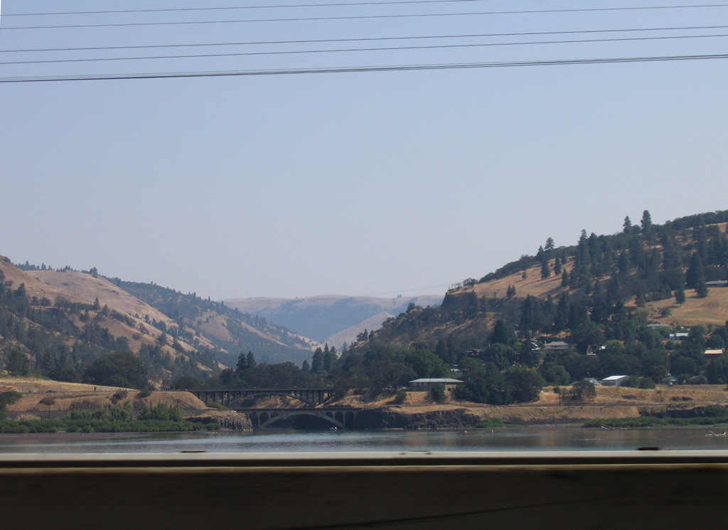
U.S. 30 loops south from Interstate 84 across the city of Hood River to Downtown.
08/28/06
East
08/28/06
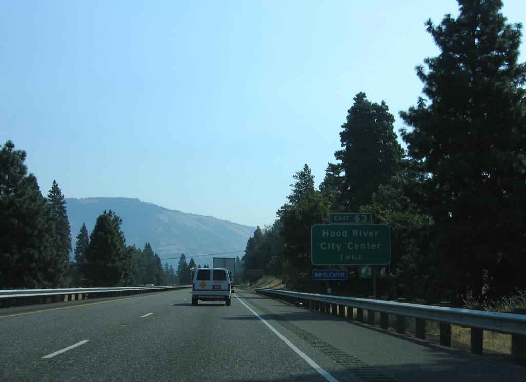
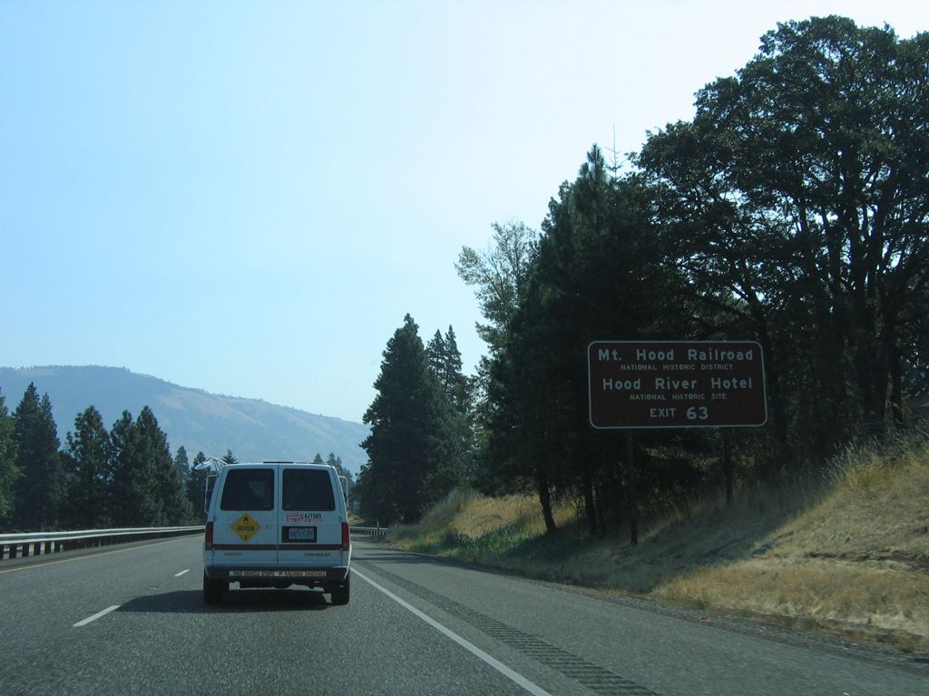
2nd Street connects Interstate 84 at Exit 63 with the Hood River city center.
08/28/06
08/28/06
2nd Street leads south to U.S. 30 (Oak Street). U.S. 30 shifts one block south onto State Street to span Hood River east to OR 35.
08/28/06
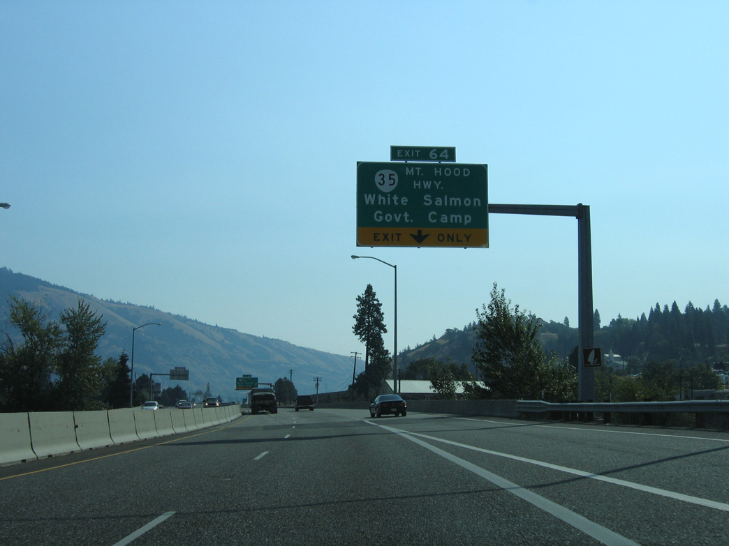
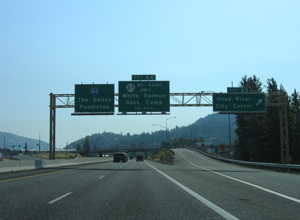
U.S. 30/OR 35 overlap 0.41 miles north from State Street to the diamond interchange at Exit 64. OR 35 travels 44.62 miles south around Mount Hood to US. 26.
08/28/06
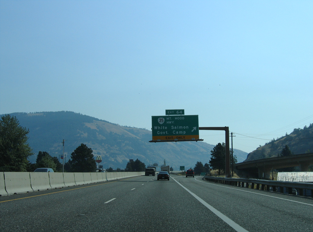
Button Bridge Road extends north from the end of OR 35 (Mount Hood Highway) at Exit 64 to the Hood River-White Salmon Interstate Bridge. Spanning the Columbia River, the toll bridge links with SR 14 in the city of White Salmon, Washington.
08/28/06
East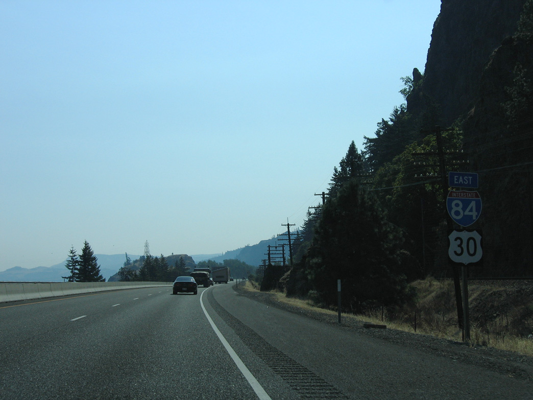
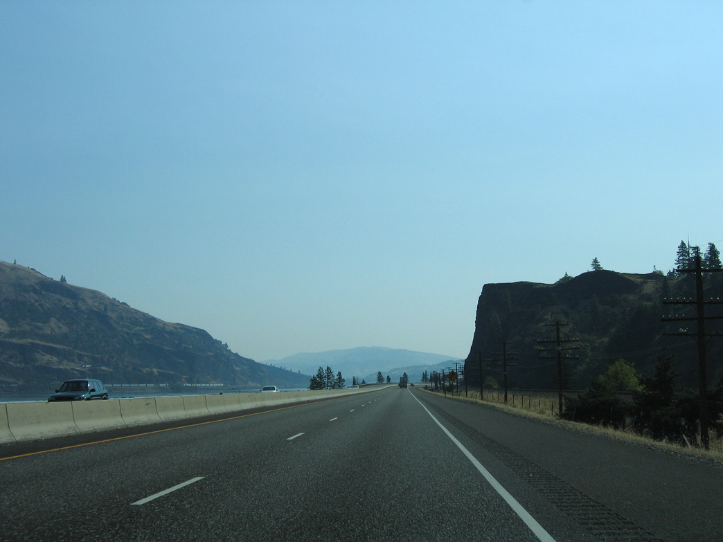
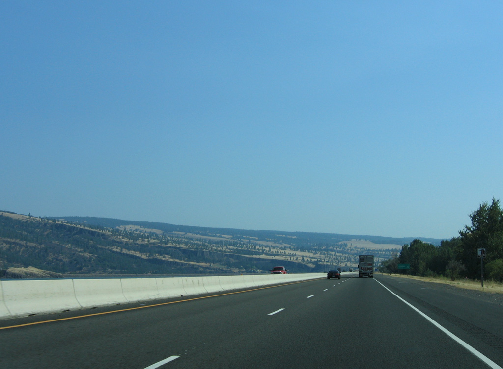
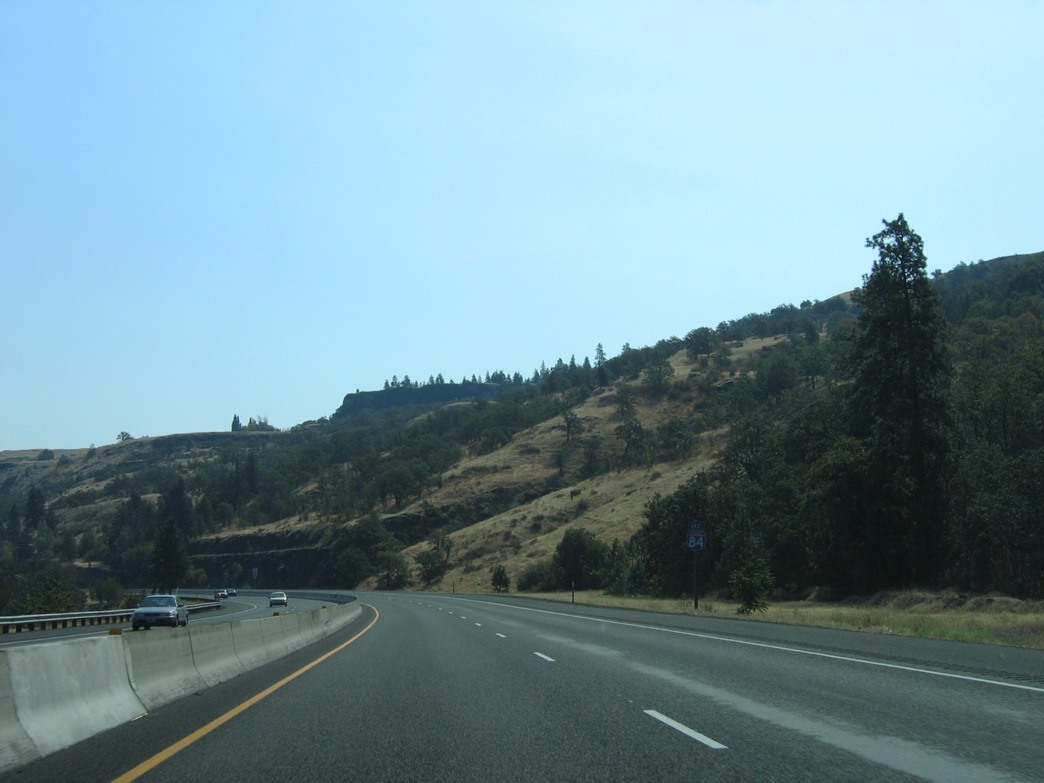
U.S. 30 rejoins Interstate 84 east from Hood River to the city of Mosier.
08/28/06
08/28/06
08/28/06
08/28/06
08/28/06
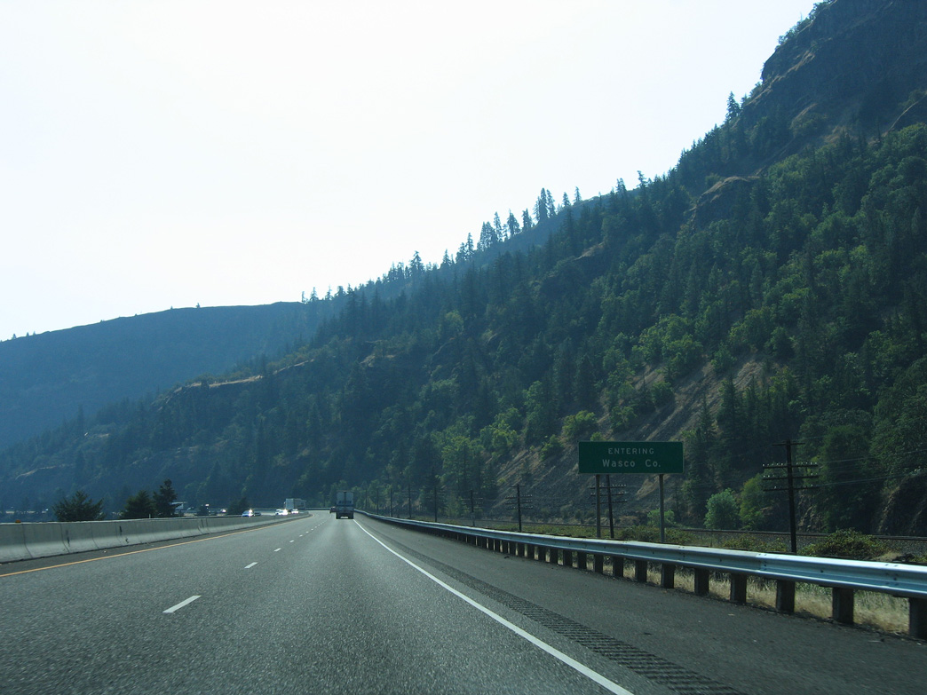
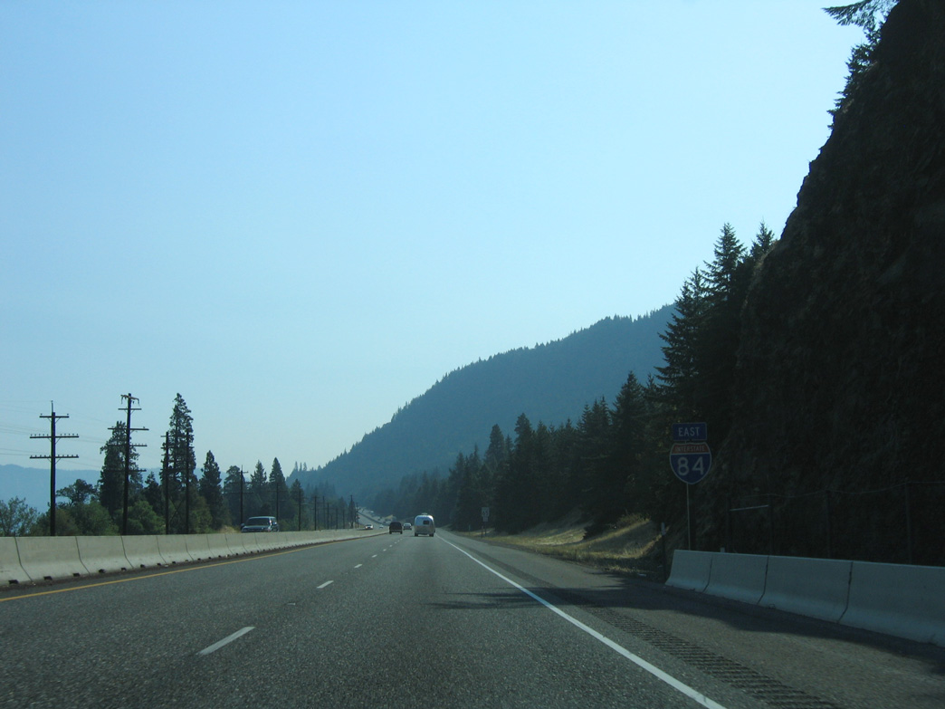
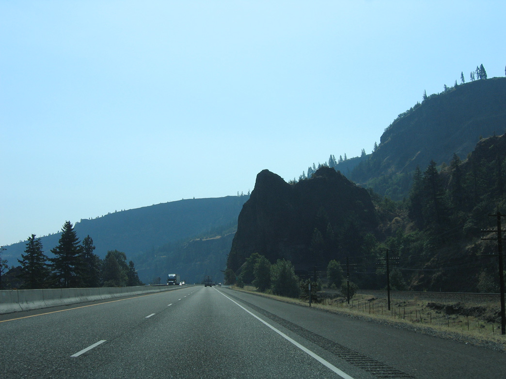
I-84/U.S. 30 enter Wasco County east through Bingen Gap.
08/28/06

08/28/06
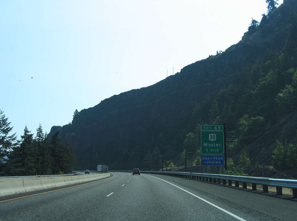
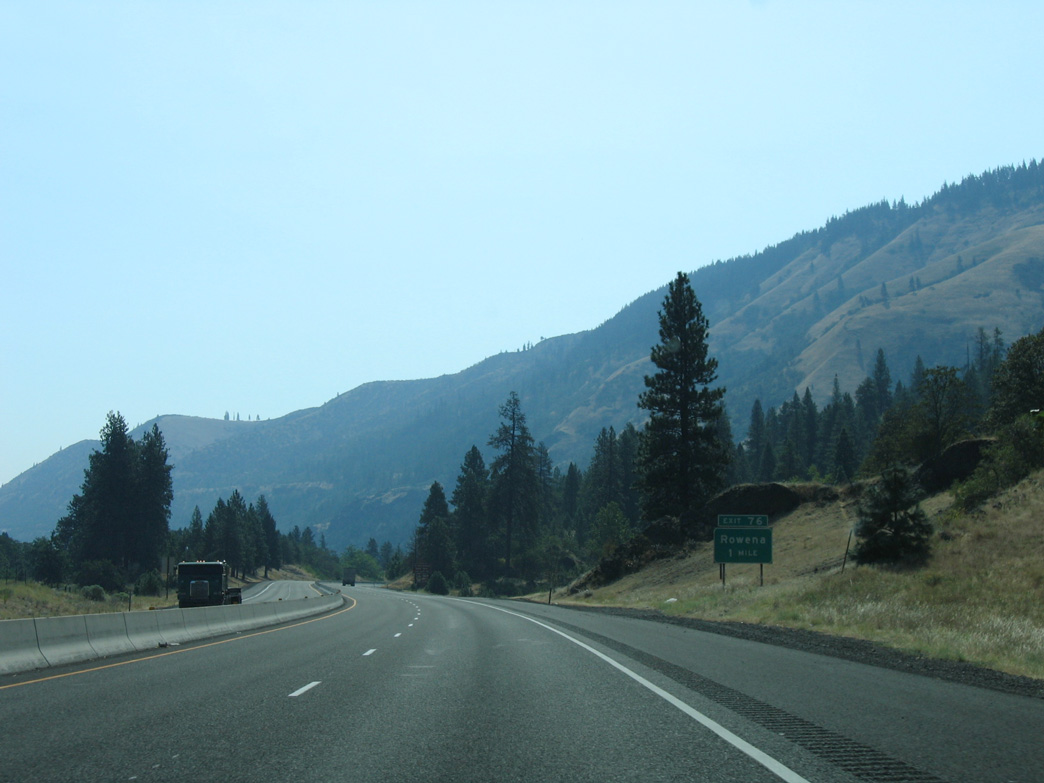
U.S. 30 separates from I-84 for a third time east at Exit 69 in Mosier.
08/28/06
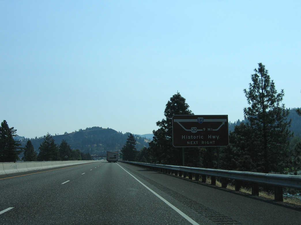
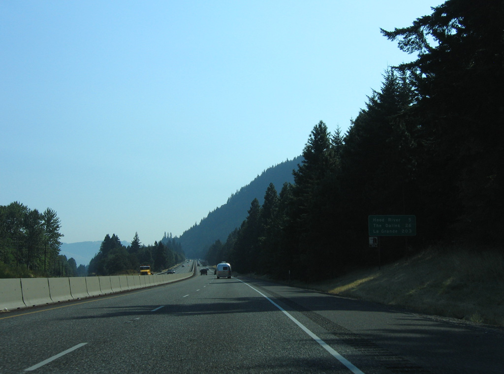
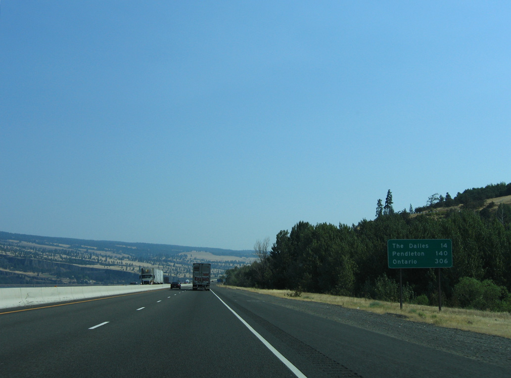
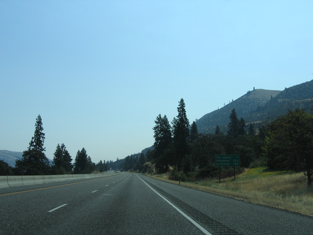
U.S. 30 follows Historic Columbia River Highway for 14.94 miles southeast to The Dalles. Exit 76 also joins I-84 with the scenic route at Rowena.
08/28/06
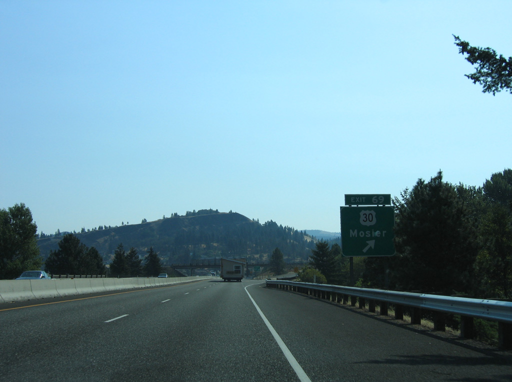
The trumpet interchange at Exit 69 protrudes northward into the Columbia River.
08/28/06
08/28/06
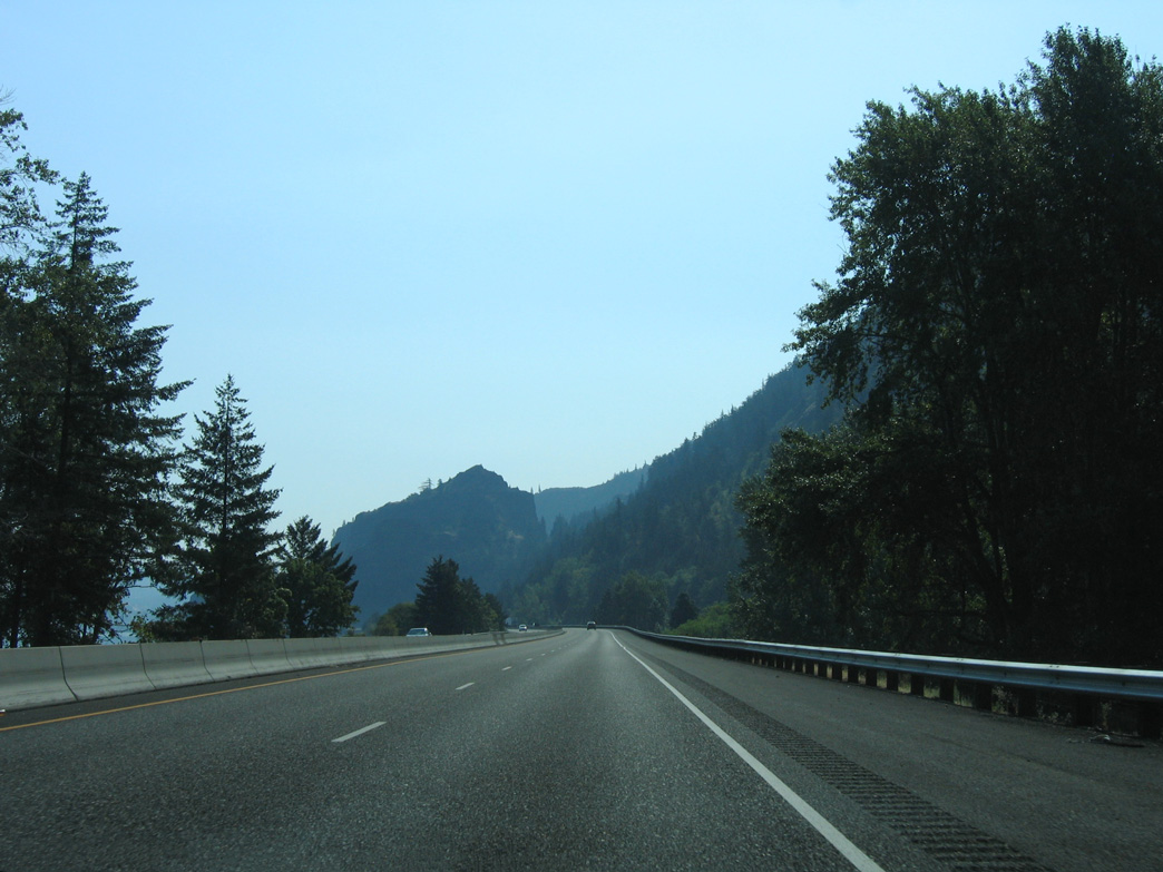
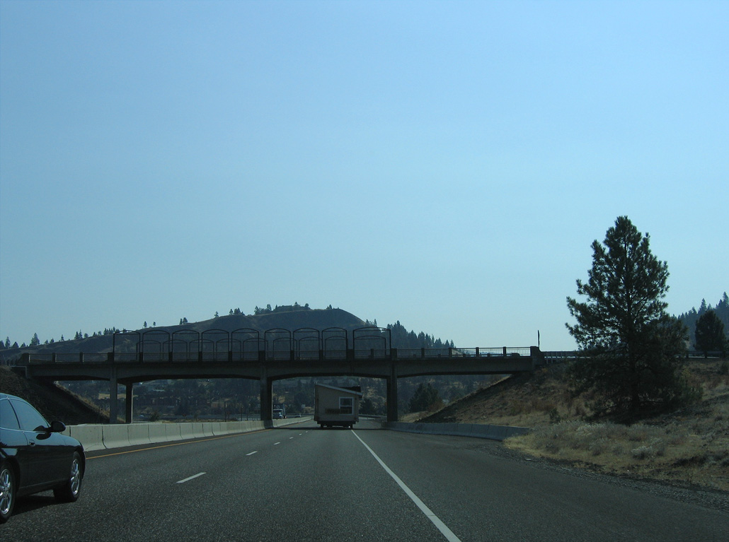
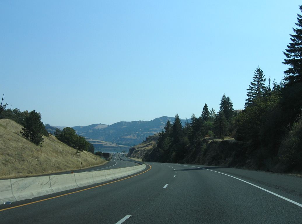
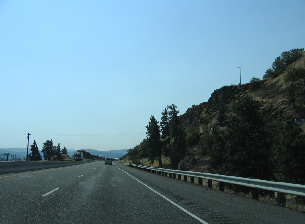
Curving northeast in the city of Mosier, Interstate 84 straddles the south banks of the Columbia River.
08/28/06
Interstate 84 at Mosier is part of the Lewis and Clark Trail.
08/28/06
08/28/06
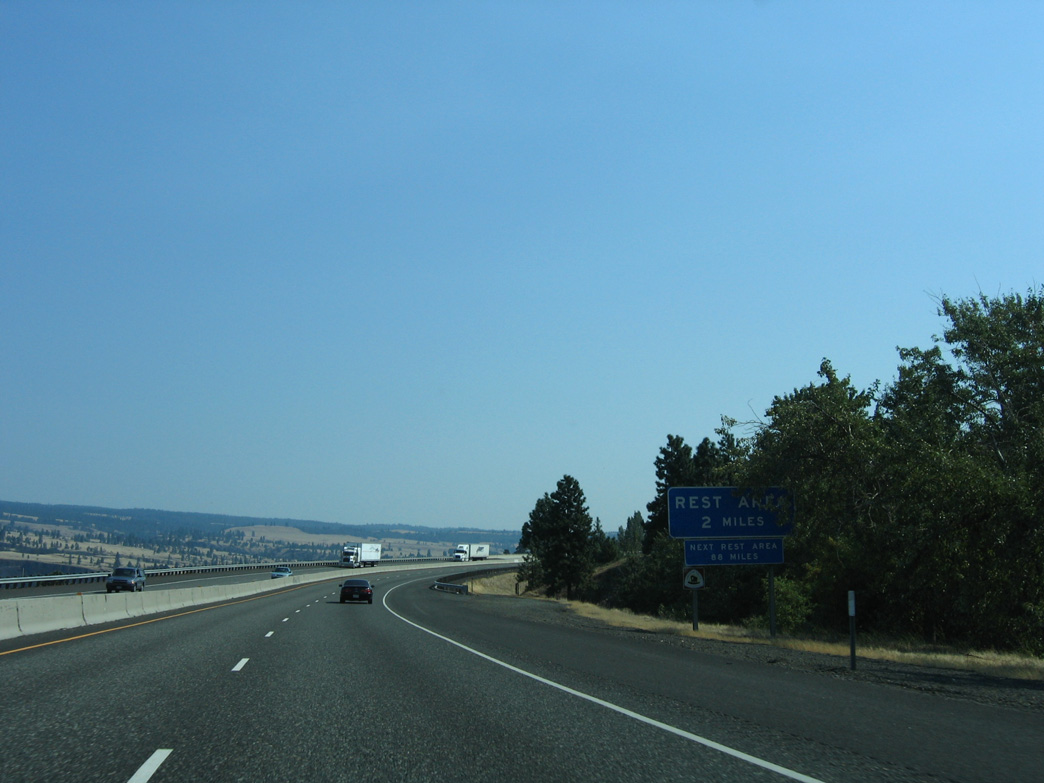
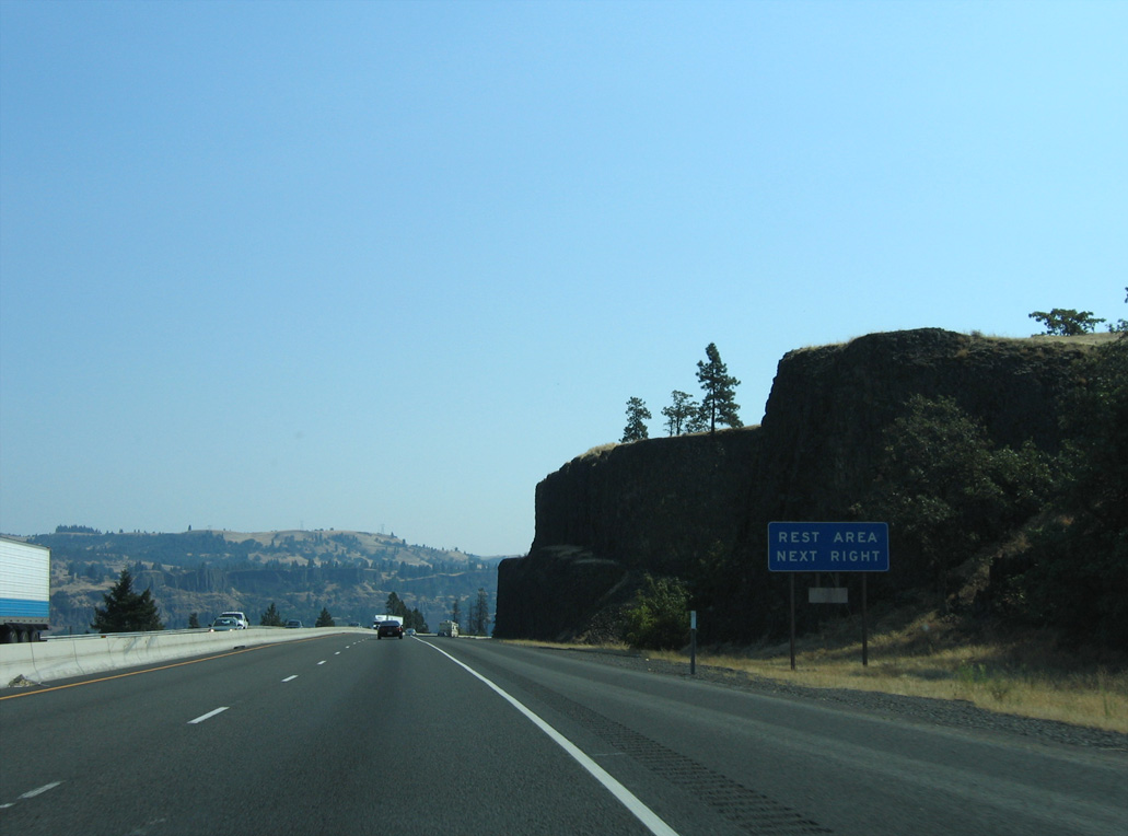
The Memaloos Park Rest Area is next along Interstate 84 eastbound.
08/28/06
08/28/06
The Memaloose Park Rest Areas are located at mile marker 73.
08/28/06
08/28/06
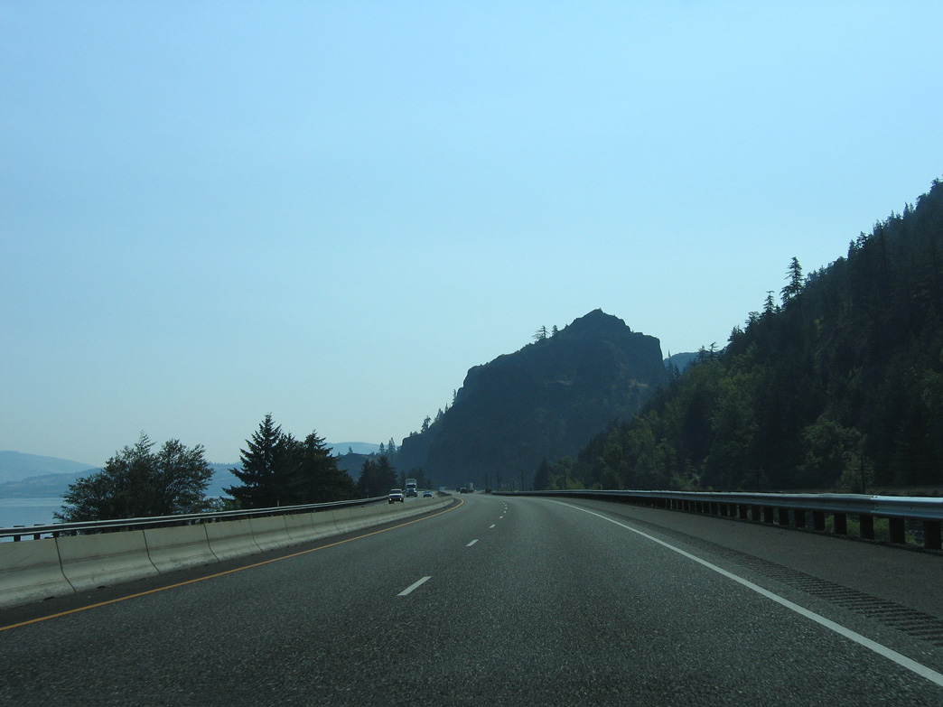
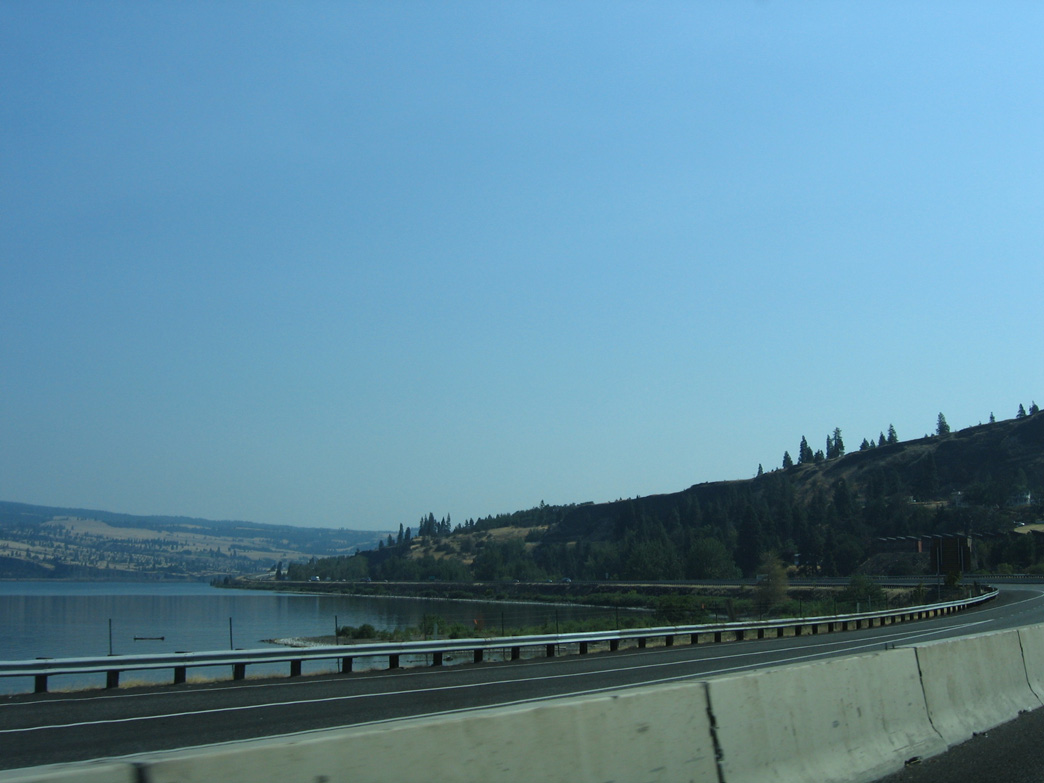
Interstate 84 continues east through Memaloose State Park by McClure Lake.
08/28/06
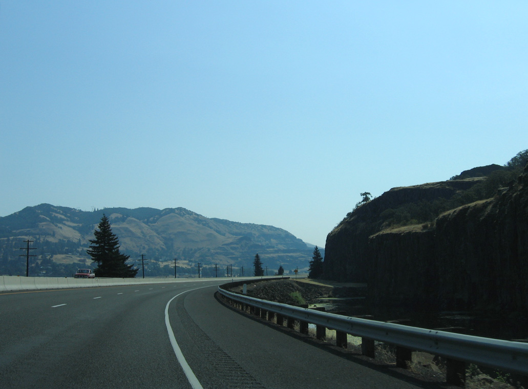
I-84 arcs southeast from Rowena Dell.
08/28/06
Arch bridges take Washington State Route 14 and the BNSF Railroad across the Klickitat River on the north side of the Columbia River.
08/28/06
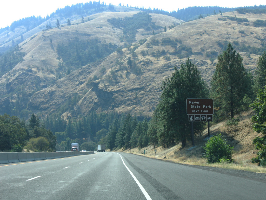
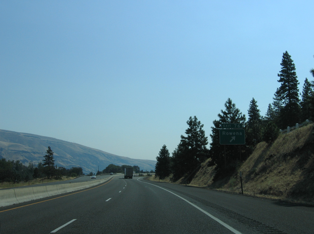
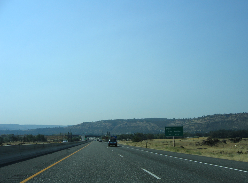
Exit 76 connects Interstate 84 with an access road to Rowena River Road and adjacent U.S. 30 (Historic Columbia River Highway).
08/28/06
08/28/06
08/28/06
08/28/06
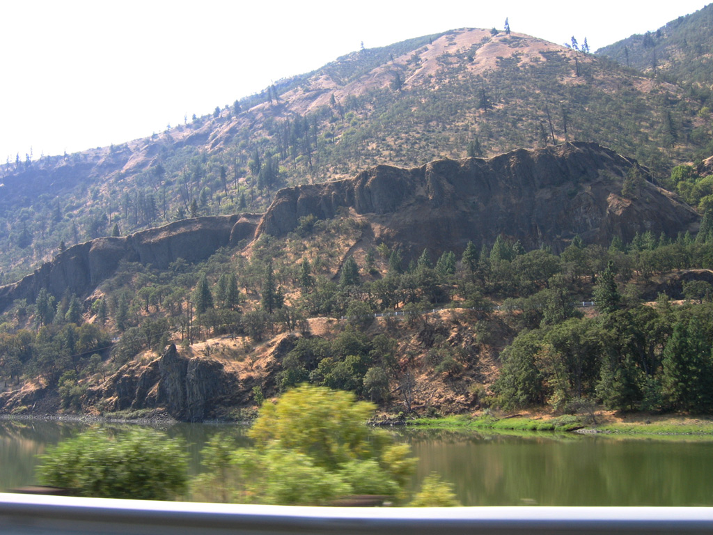
Rowena Gap
08/28/06
Tooley Lake, U.S. 30 and Crates Point on Sevenmile Hill
08/28/06
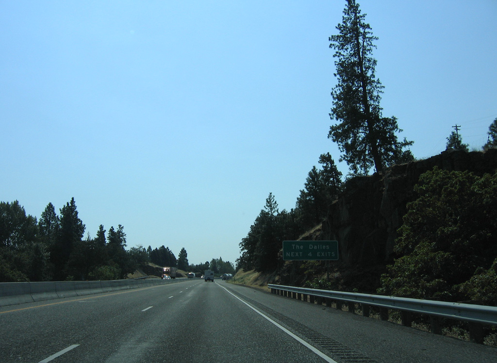
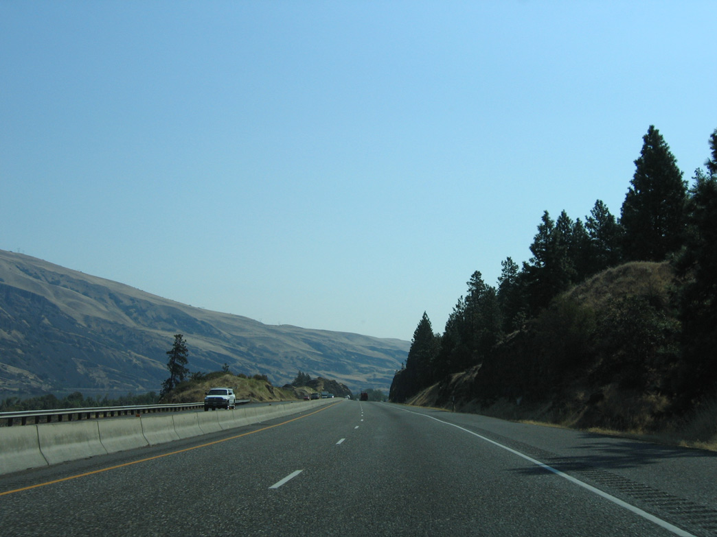
I-84 advances south from Hidden Valley to the first of four exits in the city of The Dalles at River Road.
08/28/06
U.S. 30 converges with the west side of I-84 near Taylor Lake.
08/28/06
River Road lops east from U.S. 30 and Exit 82 to the Columbia River.
08/28/06
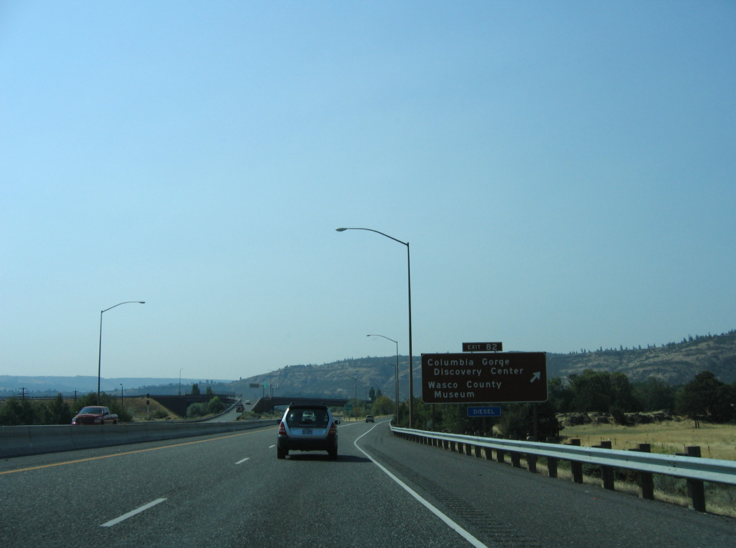
Exit 82 leaves I-84 east for River Road to U.S. 30. U.S. 30 runs alongside I-84 on the ensuing commercialized stretch.
08/28/06
08/28/06
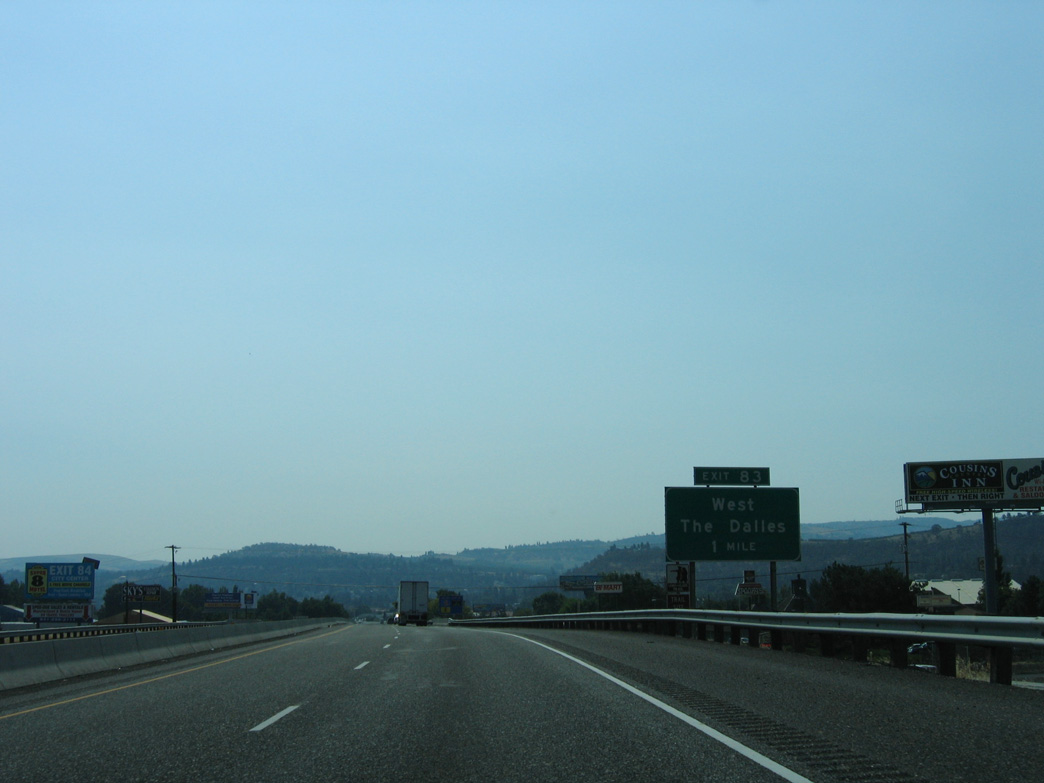
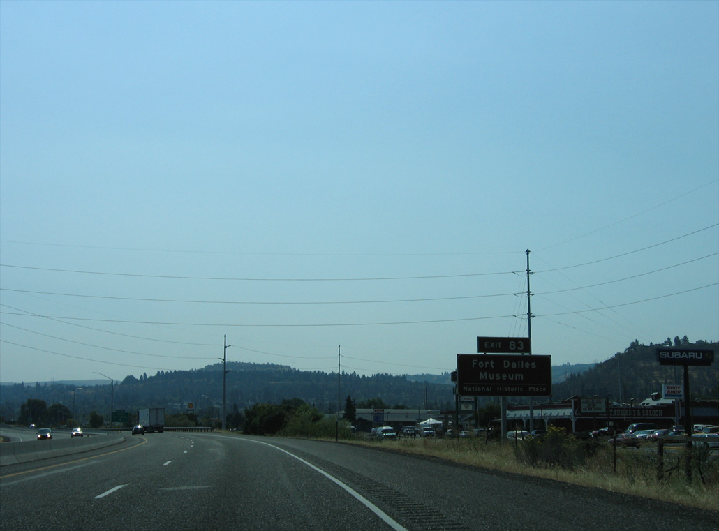
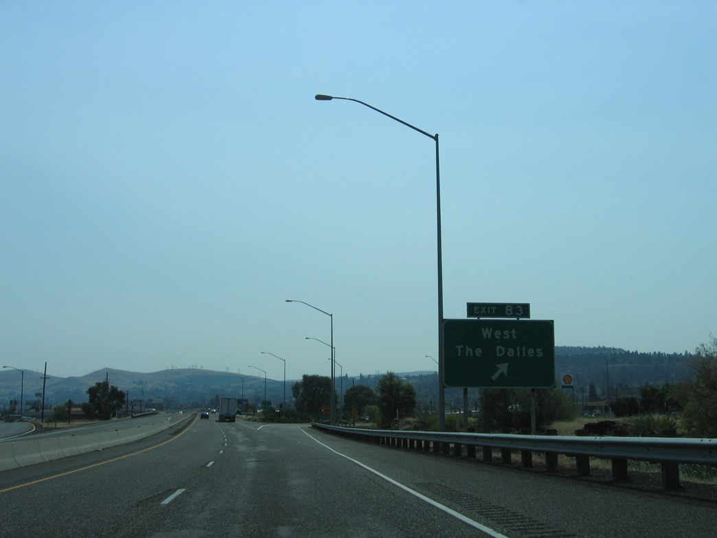
RIRO ramps at Exit 83 link Interstate 84 eastbound with parallel U.S. 30 on W 6th Street.
08/28/06
08/28/06
08/28/06
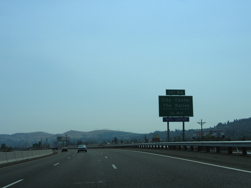
U.S. 30 shifts to the north side of I-84 via Webber Street. Continuing east along 2nd Street, U.S. 30 crosses the freeway again at Exit 84.
08/28/06
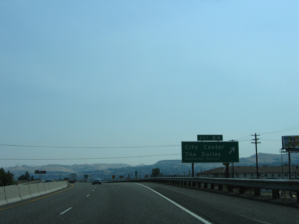
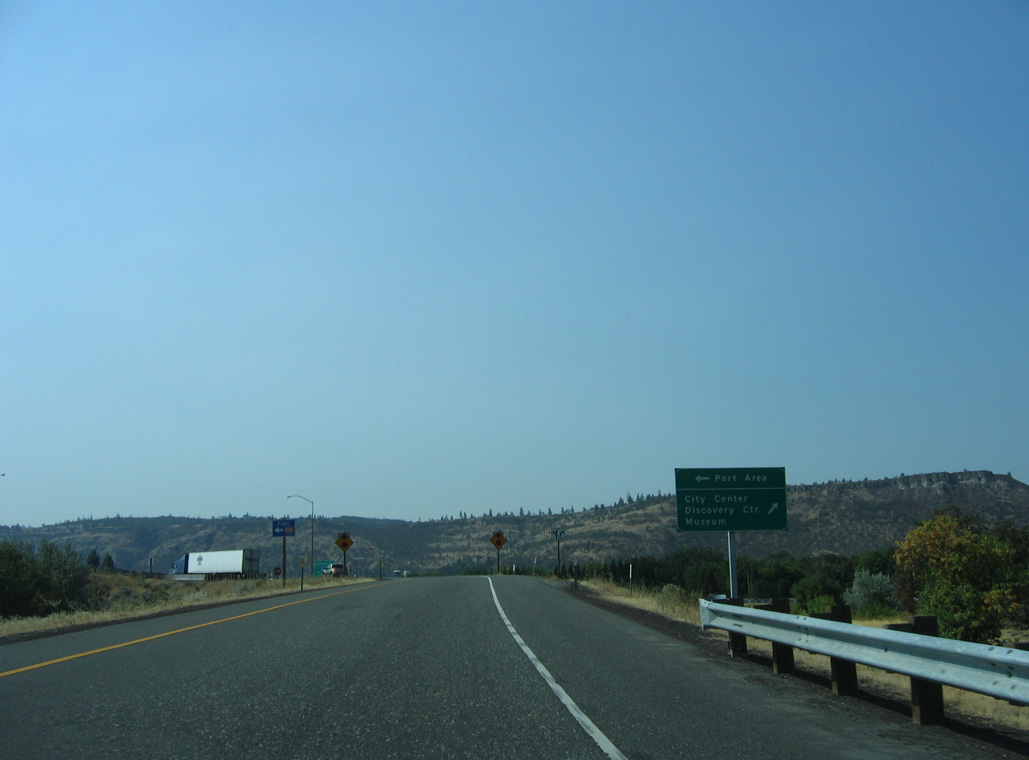
Leaving an area of retail east by Exit 84, U.S. 30 (2nd Street) crosses Mill Creek into The Dalles city center.
08/28/06
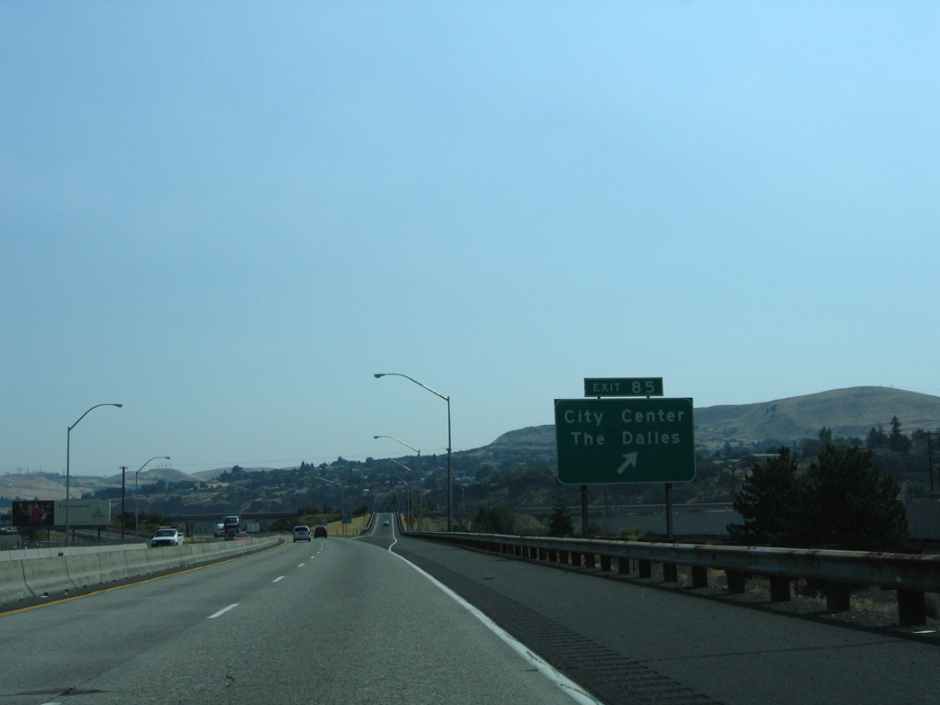
Brewery Overpass Road connects I-84 at Exit 85 with U.S. 30 (2nd Street) east of The Dalles city center.
08/28/06
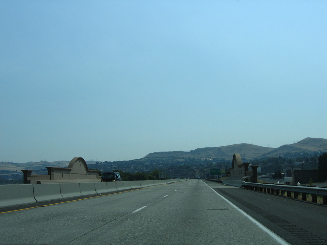
Union Street passes under a decorative overpass along I-84 to 1st Street along the Columbia Riverfront.
08/28/06
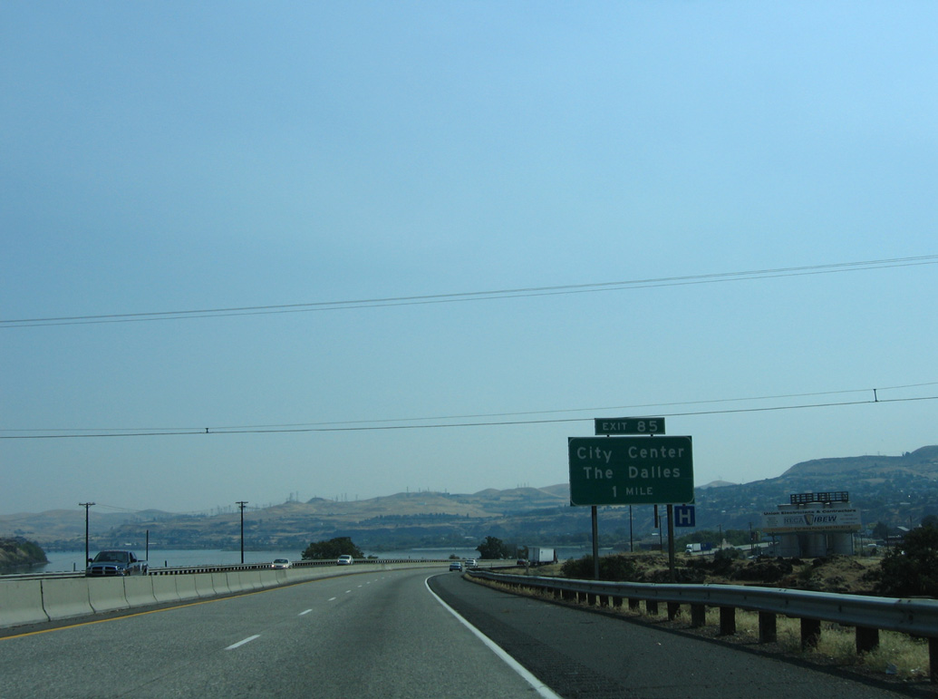
Riverfront Park in The Dalles spreads east of Exit 85 along the north side of Interstate 84.
08/28/06
08/28/06
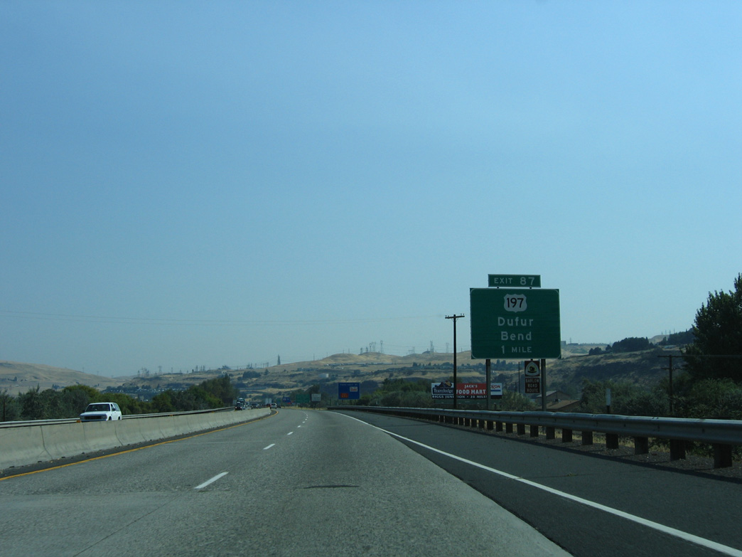
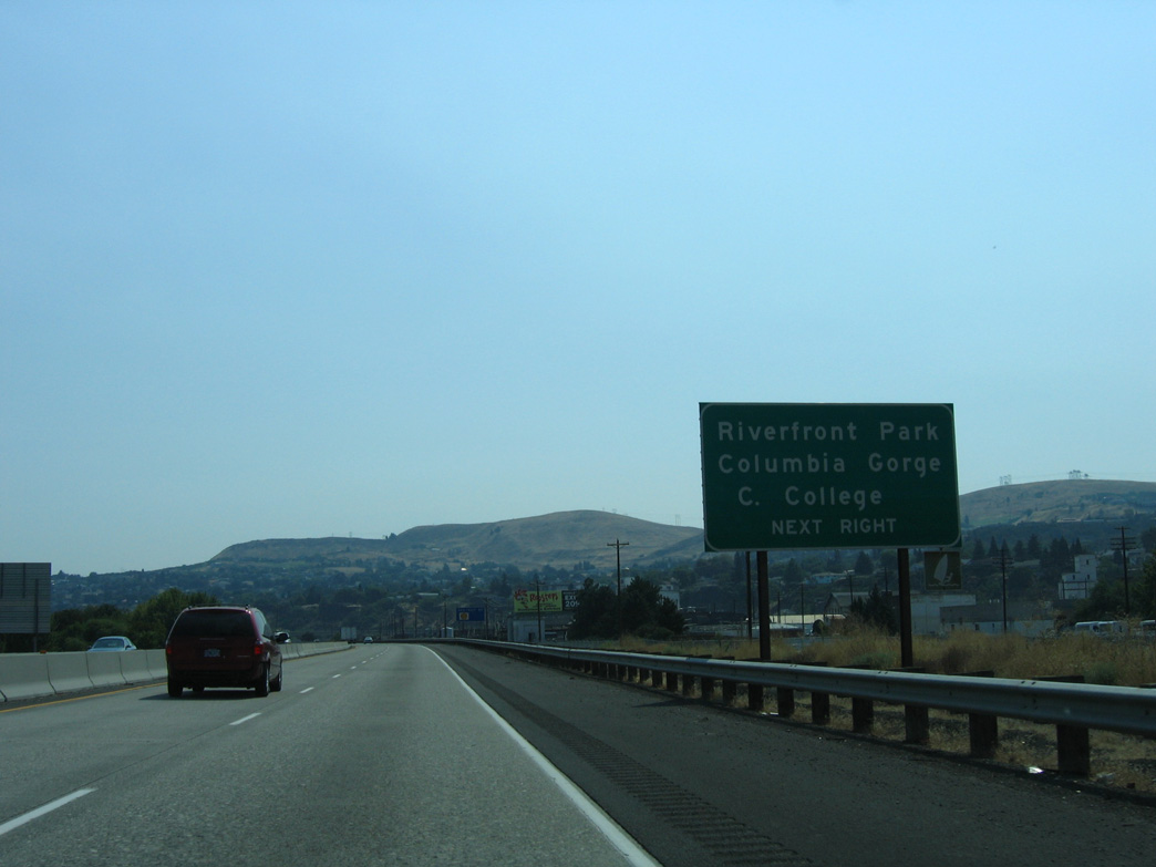
U.S. 30 returns to Interstate 84 alongside U.S. 197 at the last exit in The Dalles.
08/28/06
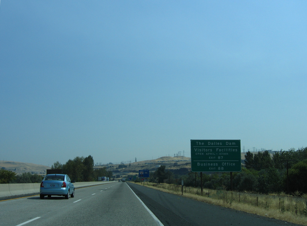
The Dalles Dam lies northeast of U.S. 197 on The Dalles Bridge in Klickitat County, Washington.
08/28/06
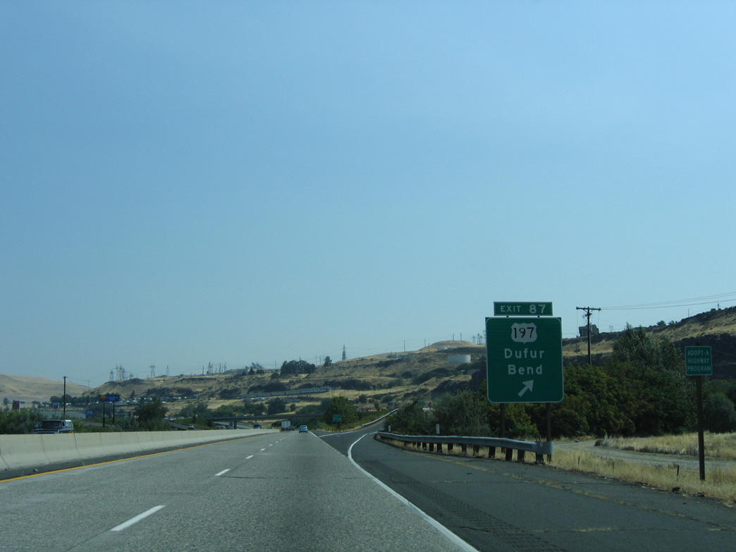
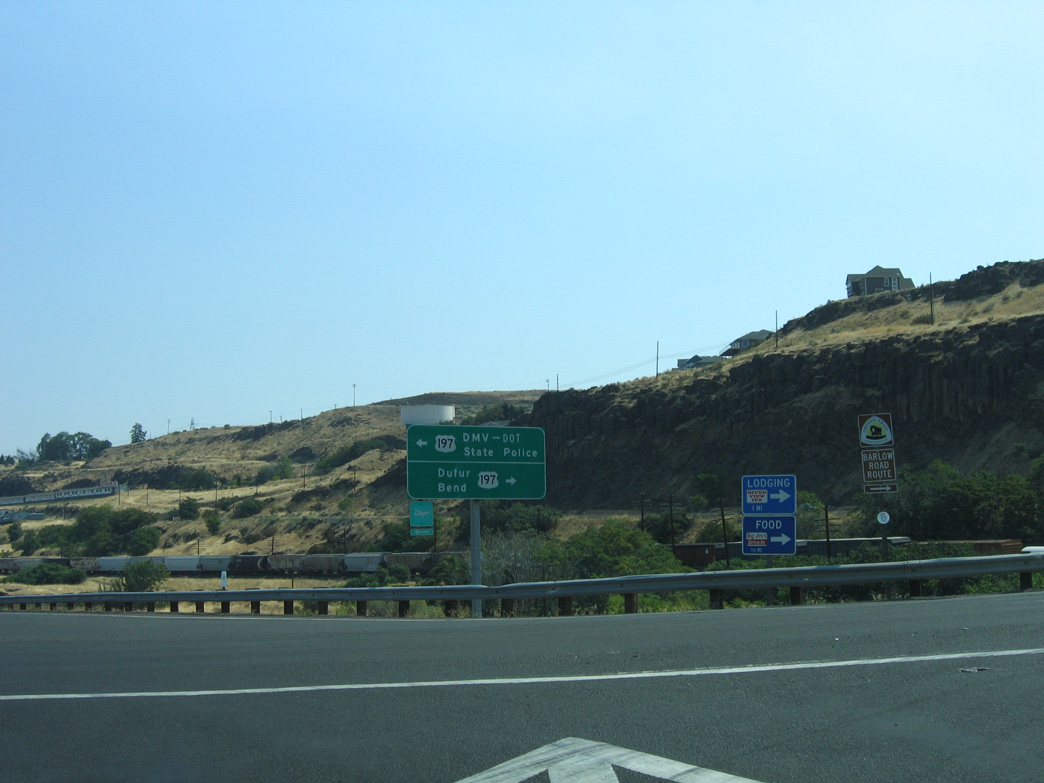
U.S. 197 travels just 59 miles in Oregon south to Dufur, Maupin, U.S. 97 at Shaniko Junction.
08/28/06
North across The Dalles Bridge over the Columbia River, U.S. 197 extends 3.4 north to Washington State Route 14 (Lewis and Clark Highway).
08/28/06
Photo Credits:
08/28/06 by AARoads
Page Updated 07-06-2023.