John Glenn Boulevard (County Route 81) is a controlled access arterial from I-690 in the town of Van Buren east to Buckley Road in the town of Clay. Passing north of Onondaga Lake in the Syracuse metropolitan area, John Glenn Boulevard was planned to extend north to New York Route 481. The 4.11 mile section of the divided highway opened between I-690 and Buckley Road in the early 1970s; the remainder of the route to NY 481 remains unconstructed.1
|
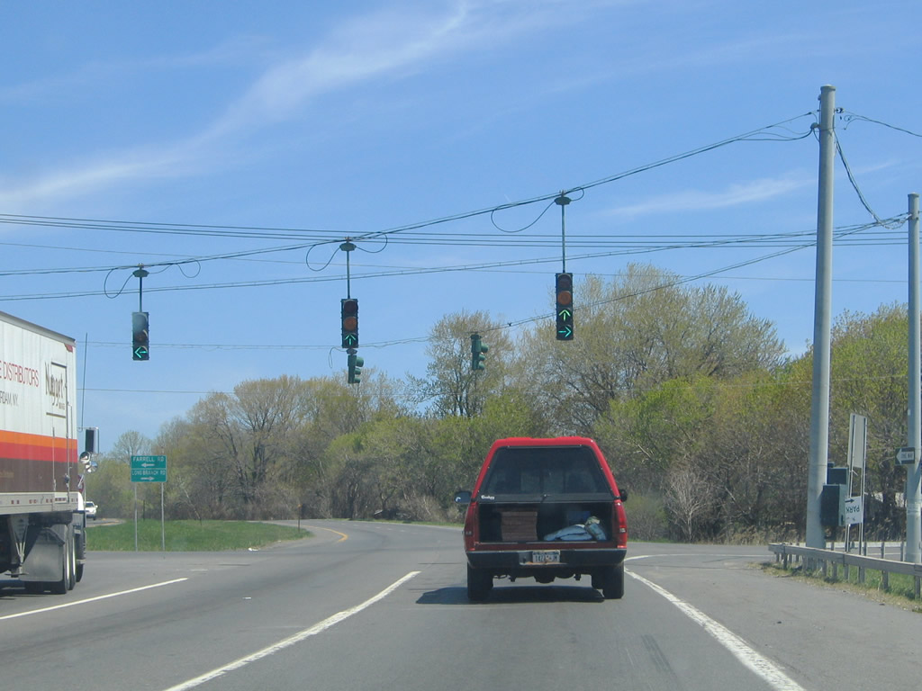
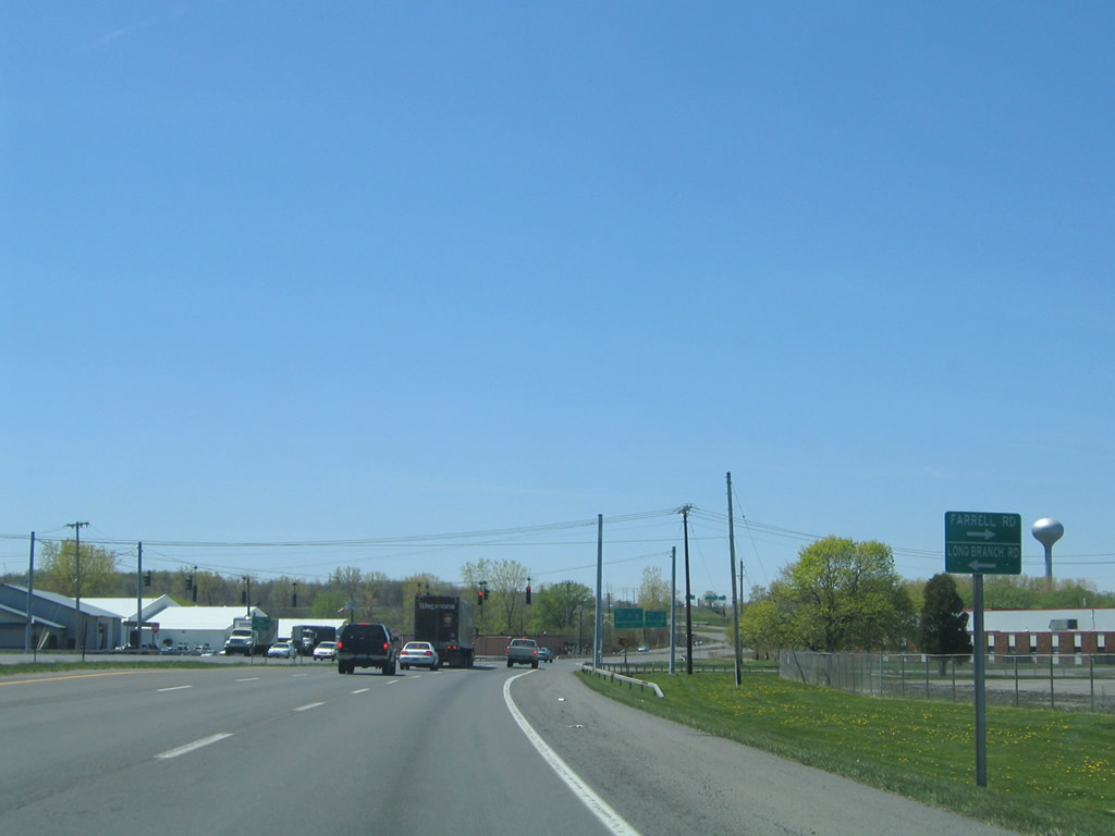
| John Glenn Boulevard intersects Farrell Road and Long Branch Road (CR 35) just east of I-690. Farrell Road loops west through industrial areas to NY 48 (State Fair Boulevard) at I-690 west. Long Branch Road bends east along the New York Thruway to Long Branch Park and NY 370 (Cold Springs Road). 05/09/05 |
|
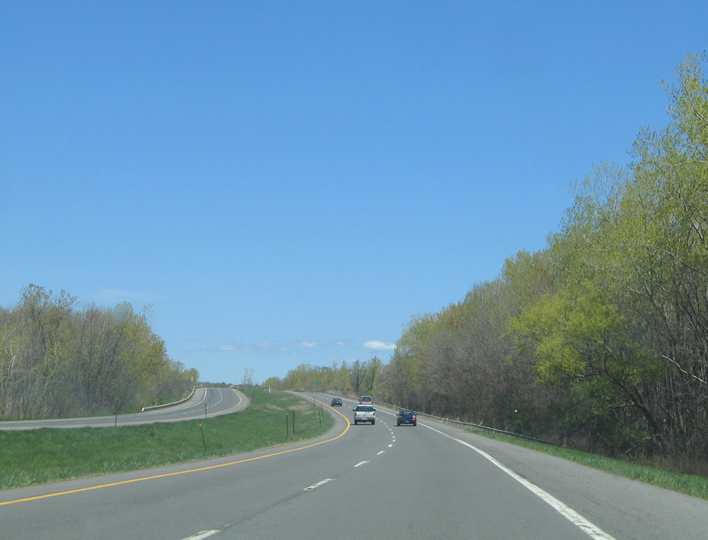
| John Glenn Boulevard curves northeast between the Seneca River and Long Branch Park to the bridges spanning Onondaga Lake Outlet. 05/09/05 |
|
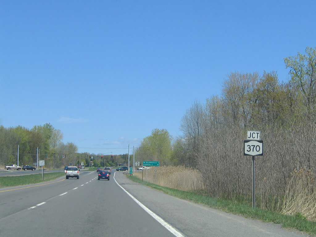
| Entering the town of Salina, John Glenn Boulevard approaches NY 370 (Cold Springs Road). 05/09/05 |
|
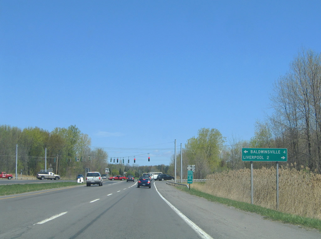
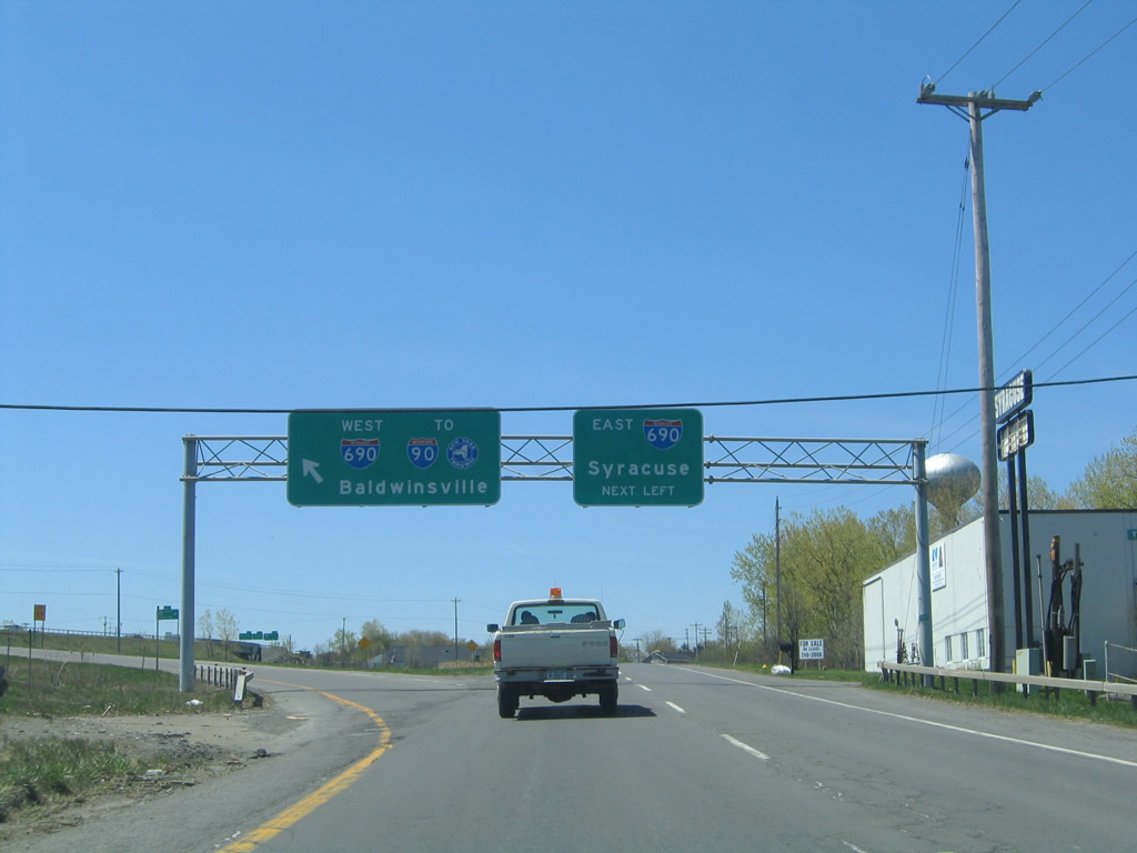
| NY 370 heads northwest from Salina to Baldwinsville and Lysander and southeast into the village of Liverpool. 05/09/05 |
|
| New York Route 370 measures 35.09 miles between U.S. 11 in Syracuse and NY 104 at Red Creek. 05/09/05 |
|
| John Glenn Boulevard continues by a pair of apartment complexes to a pedestrian bridge linking subdivisions and nearby schools. 05/09/05 |
|
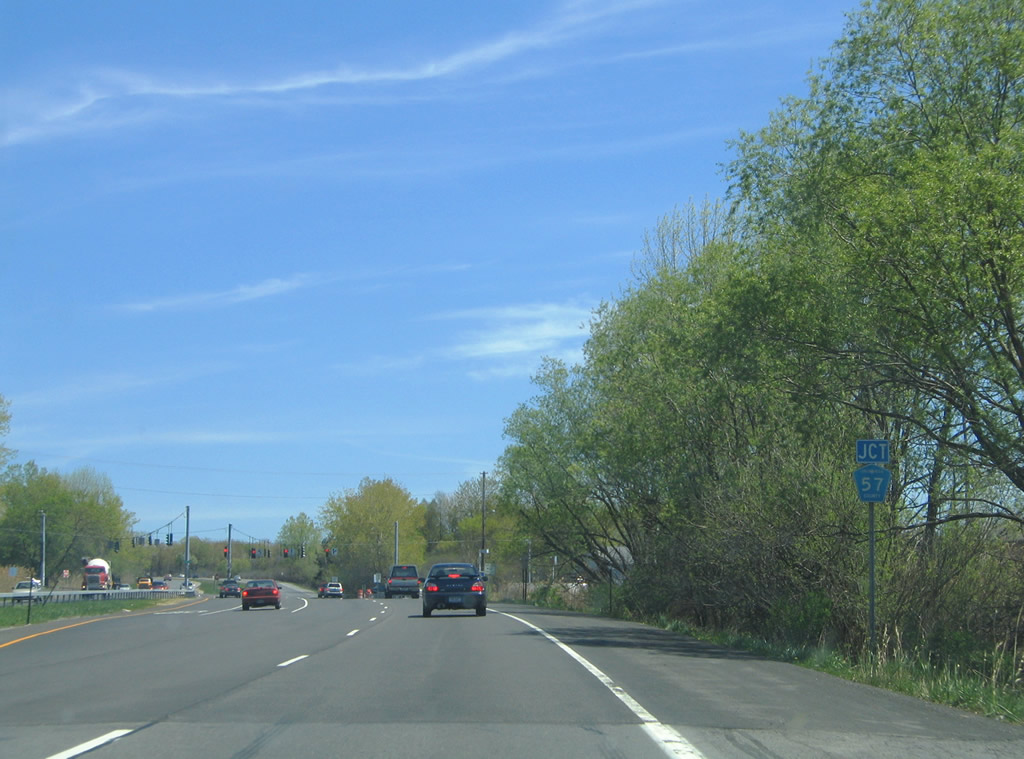
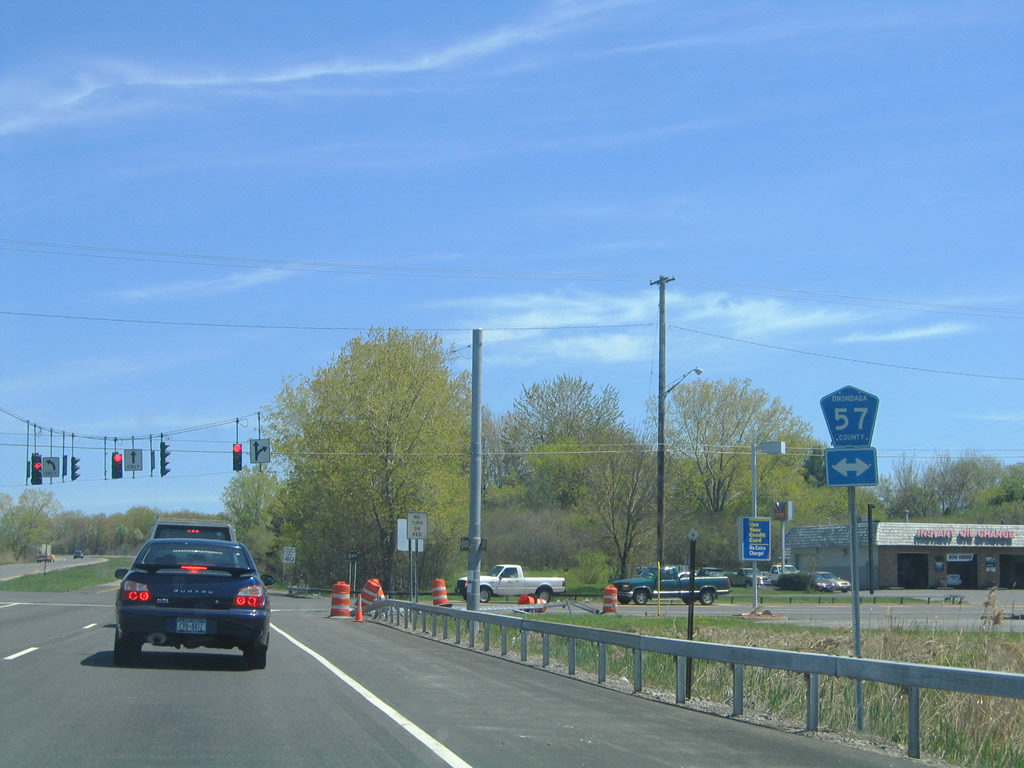
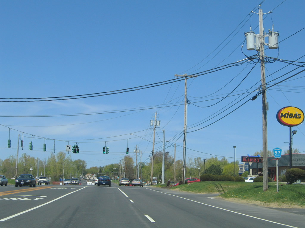
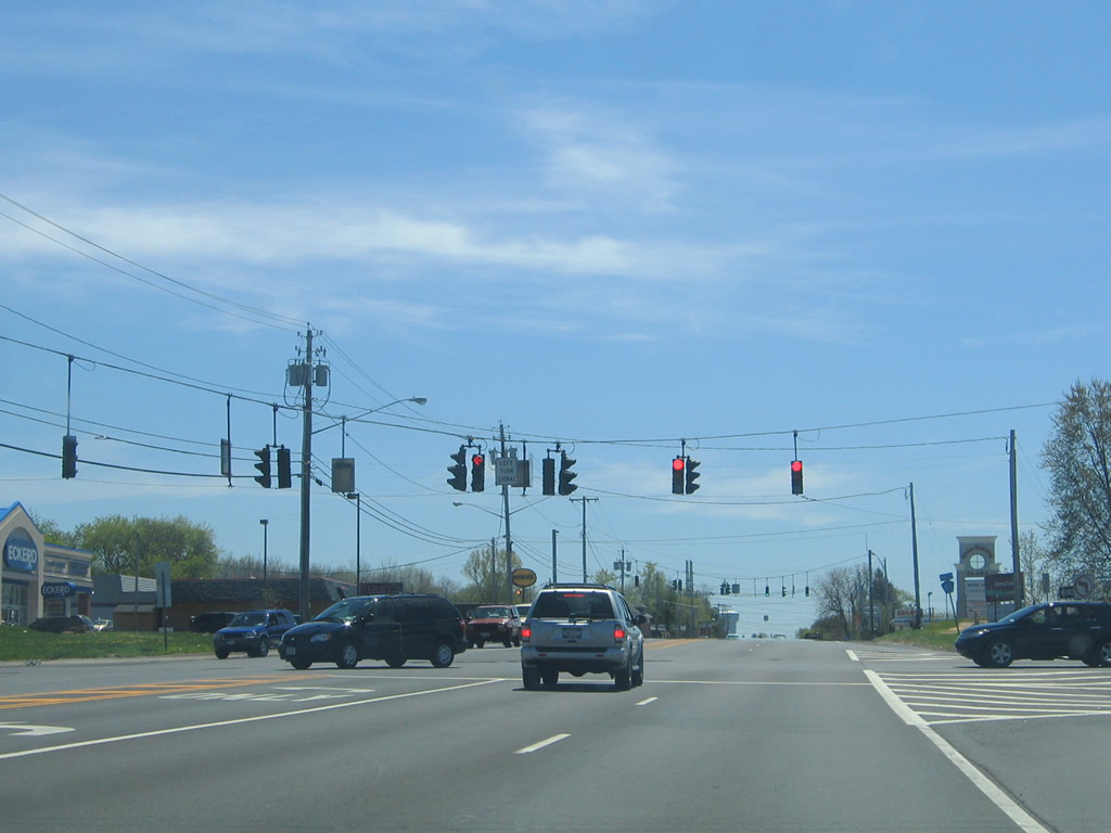
| Onondaga County Route 57 (Oswego Road) meets John Glenn Boulevard at a signalized intersection in western reaches of Clay. 05/09/05 |
|
| CR 57 represents the former alignment of NY 57 between U.S. 11 in Syracuse and NY 104 in Oswego. The state route was decommissioned in 1982 when the NY 481 freeway opened between North Syracuse and Fulton. 05/09/05 |
|
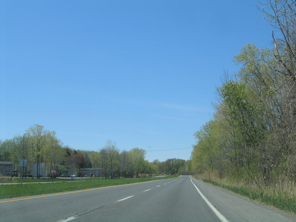
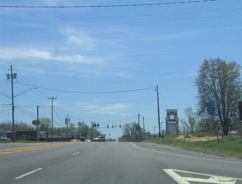
| Heading west from Onondaga County Route 57 (Oswego Road) along John Glenn Boulevard. 05/09/05 |
|
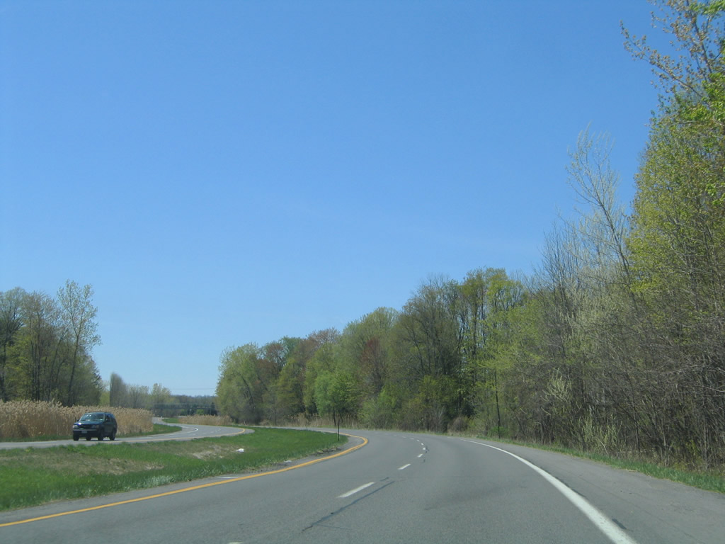
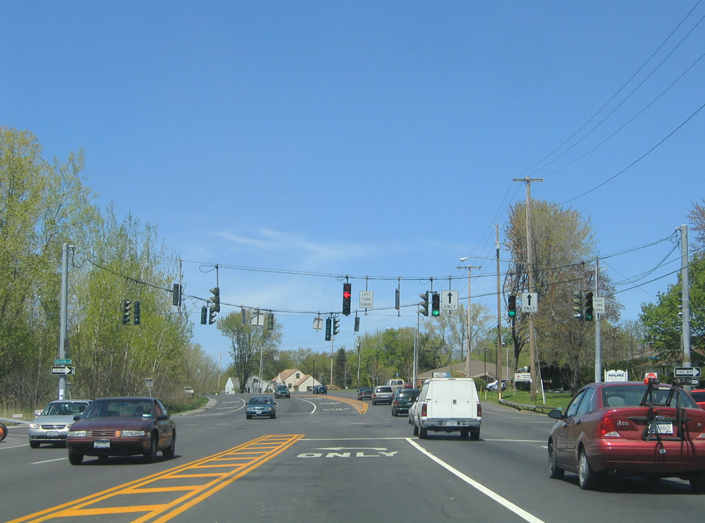
| Crossing the Salina town line, John Glenn Boulevard weaves between the Elmcrest neighborhood and other subdivisions to Kings Park Drive. 05/09/05 |
|
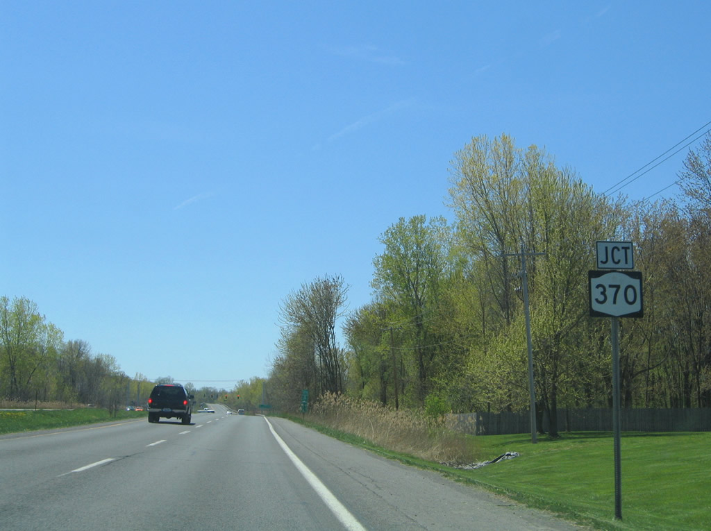
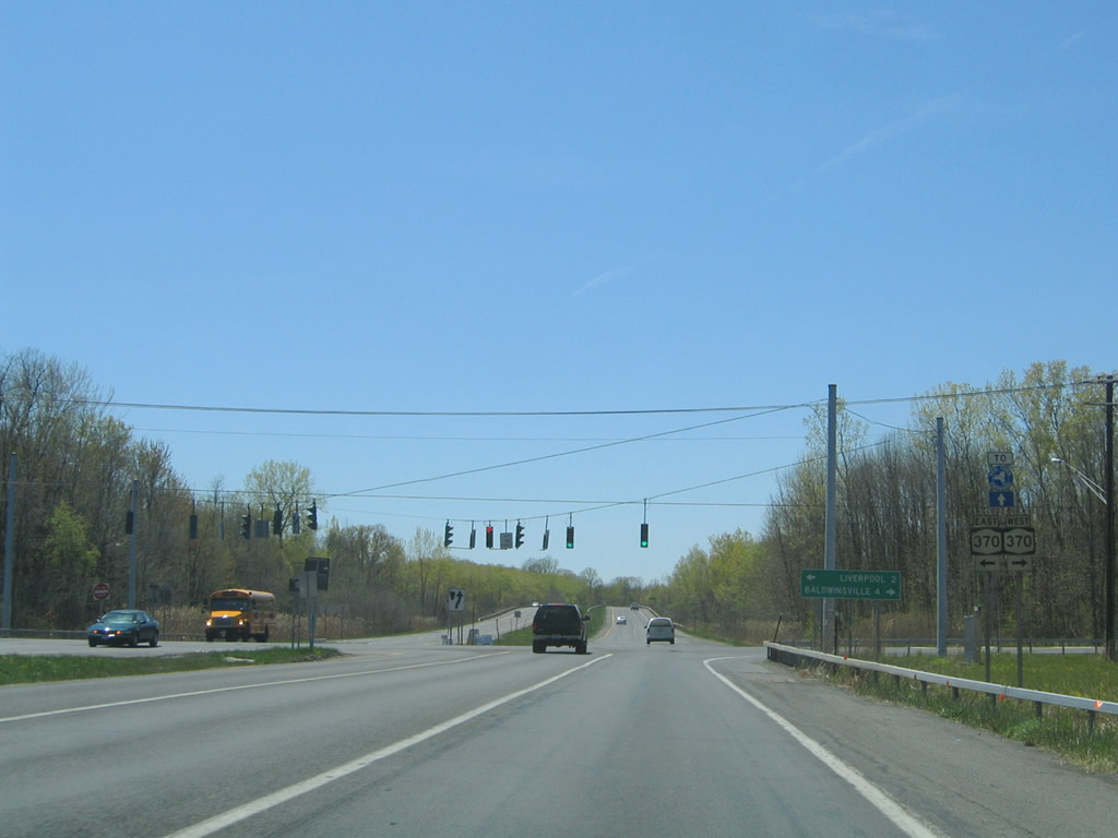
| John Glenn Boulevard meets NY 370 (Cold Springs Road) just past Kings Park Drive. 05/09/05 |
|
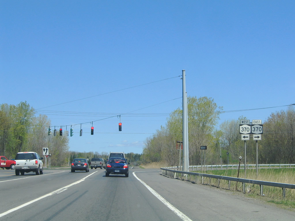
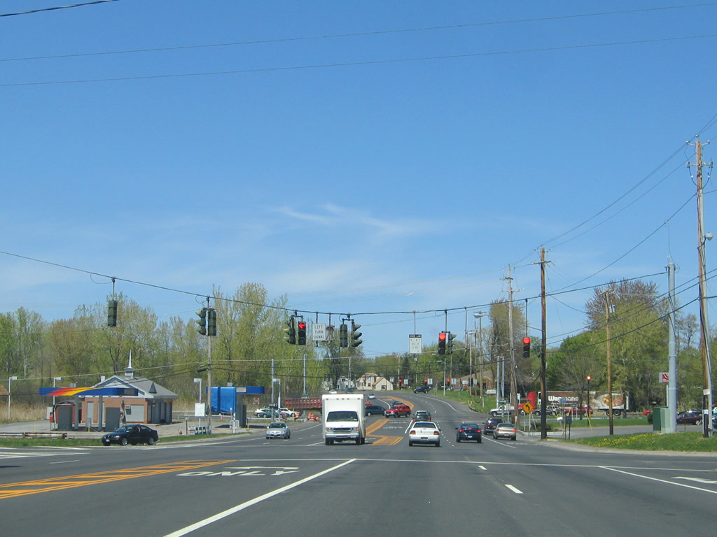
| NY 370 (Cold Springs Road) crosses John Glenn Boulevard at a traffic light two miles west of Liverpool and four miles east of Baldwinsville. 05/09/05 |
|
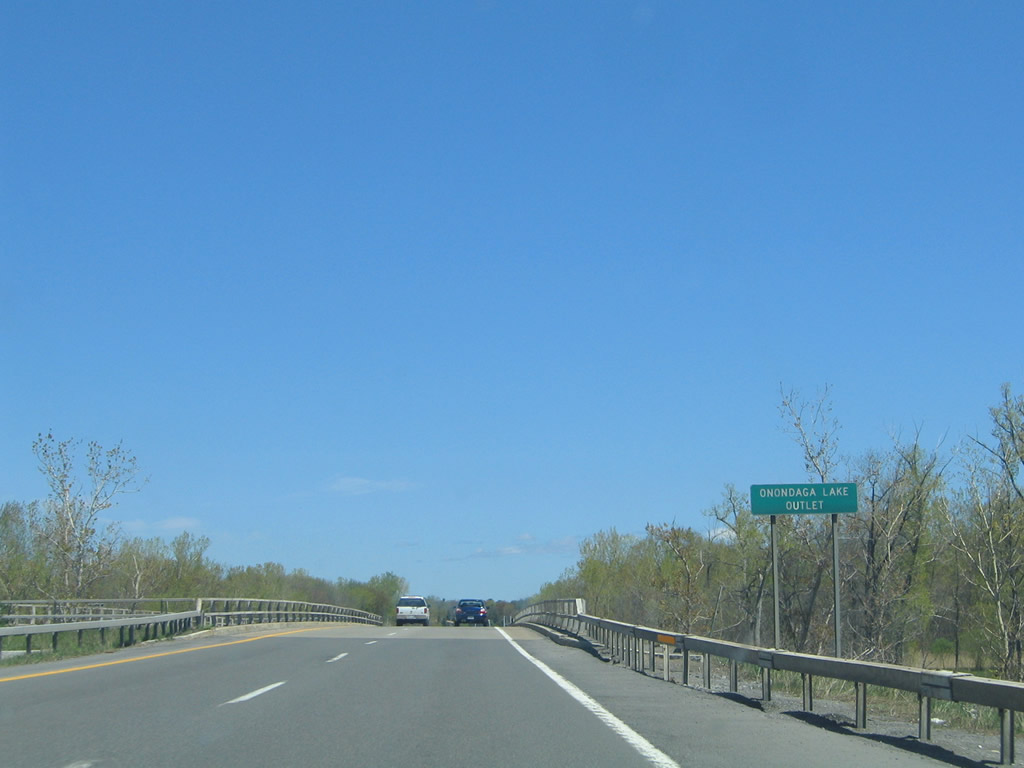
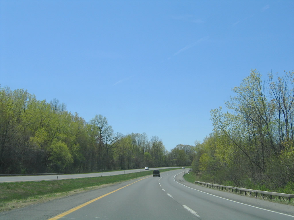
| West from NY 370, John Glenn Bouelvard crosses the Onondaga Lake Outlet connecting the lake with the Seneca River and New York State Barge Canal. 05/09/05 |
|
| Continuing into the town of Geddes, John Glenn Boulevard intersects Farrell and Long Branch Roads. Farrell Road loops northwest through an industrial park to NY 48 (State Fair Boulevard) at I-690 westbound. Long Branch Road heads east from the Lindbergh Lawns subdivision to Long Branch Park and NY 370. 05/09/05 |
|
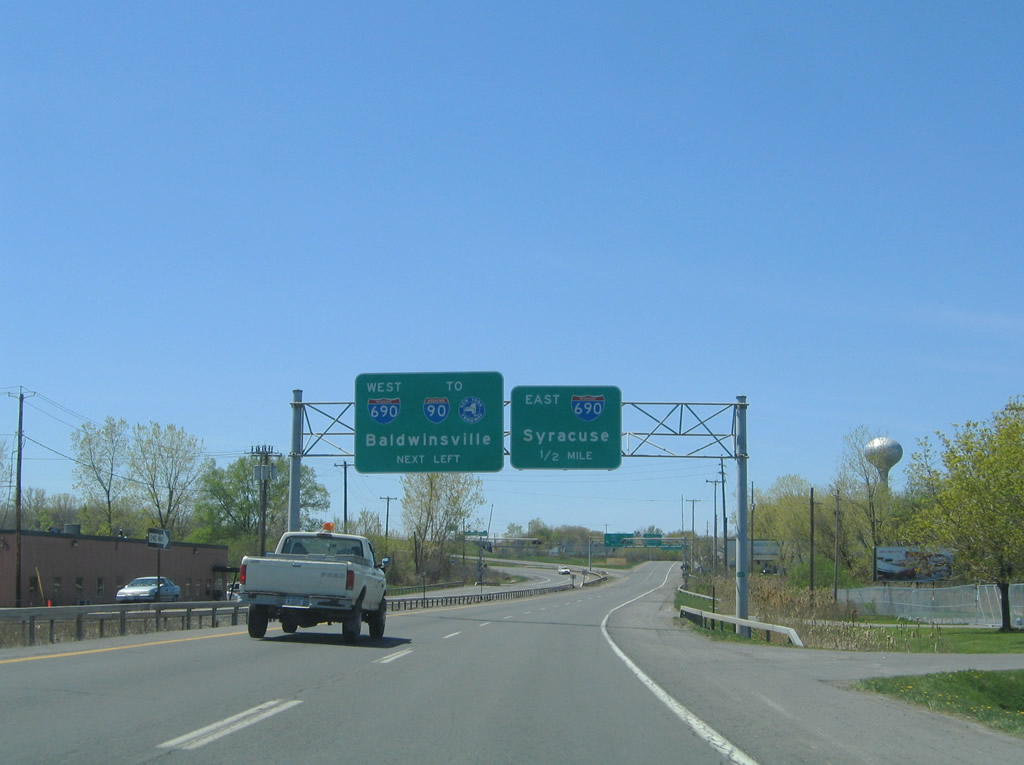
| John Glenn Boulevard splits with the entrance ramp for Interstate 690 west beyond the at-grade CSX Railroad crossing. I-690 travels west from John Glenn Boulevard to the New York Thruway at Van Buren. 05/09/05 |
|
| John Glenn Boulevard transitions onto NY 48 (State Fair Boulevard) north from the exchange with I-690. NY 48 travels 28.2 miles north to NY 104 at Oswego, but originally extended south into Syracuse. The state route was truncated in 1973 once I-690 opened.2 05/09/05 |
|
| Reassurance marker for CR 57 north posted ahead of the signalized entrance for Glenn Crossing Plaza and just ahead of Long Branch Road and John Glenn Boulevard. 05/09/05 |
|
| Long Branch Road parallels John Glenn Boulevard west to Long Branch Park and Farrell Road. Belmont Drive ties into the traffic light with CR 57 from a town home and apartment community. 05/09/05 |
|
| John Glenn Boulevard crosses CR 57 (Oswego Road) just north of Long Branch Road. The controlled access parkway winds west to Interstate 690 (Exit 4) and NY 48 (State Fair Boulevard) and north to Blueberry Road west / Buckley Road east. 05/09/05 |
|
| CR 57 (Oswego Road) intersects Long Branch Road and Belmont Drive to the immediate south of John Glenn Boulevard (CR 81). Long Branch Road serves an array of subdivisions west to Long Branch Park along Onondaga Lake. 05/09/05 |
|
| CR 57 reassurance marker posted south of Long Branch Road. CR 57 represents the former alignment of NY 57 between Fulton and Syracuse. 05/09/05 |
Page Updated 03-11-2020.