
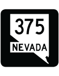
State Route 375 - Extraterrestrial Highway
Traveling 49.36 miles through Nye County and 49.05 miles through Lincoln County, Nevada State Route 375 is a remote highway linking U.S. 6 at Warm Springs with the U.S. 93 corridor near Crystal Springs. Officially named the Extraterrestrial Highway, the state route arcs east and south around Reveille Way through Railroad Valley. Turning east across Queen City Summit (el. 5,935 feet), SR 375 bee lines across Sand Spring Valley to Rachel and the foot hills west of the Timpahute Range.
Cresting over the mountains at Coyote Summit (el. 5,591 feet), SR 375 continues southeast into the Tikaboo Valley then north across Hancock Summit (el. 5,592 feet) over the Mount Irish Range. The easternmost stretch traverses open desert of the Pahranagat Valley to SR 318 at Crystal Springs.
Established in 1996, the "Extraterrestrial Highway" designation was the result of a tourism campaign to hype the highway's connection to UFO sightings and the proximity to the top-secret "Area 51" military installation. The state route passes near the northern edge of Nellis Air Force Range, and also near Area 51, from the Lincoln County line southeast to the Pahranagat Range. Despite Associated Press photographs that showed the governor of Nevada proudly holding up a "Speed Limit Warp 7" sign, there were no such signs displayed along the highway. According to Oscar Voss, "the locals say that sign went up the day the road was renamed in 1996, but was taken down by the next day. The actual -- though lightly enforced -- speed limit is 70 mph."
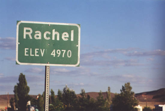
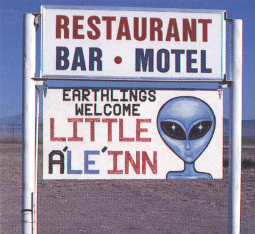
Midway along SR 375 is Rachel, a small desert settlement with a population of 48 as of the 2020 Census. The community is best known for the Little A'Le'Inn, a restaurant and motel with a UFO theme. A gas station in Rachel was the lone fuel available along SR 375. It closed by 2007, leaving a lengthy stretch northwest to Tonopah via U.S. 6 as the next fueling opportunity.
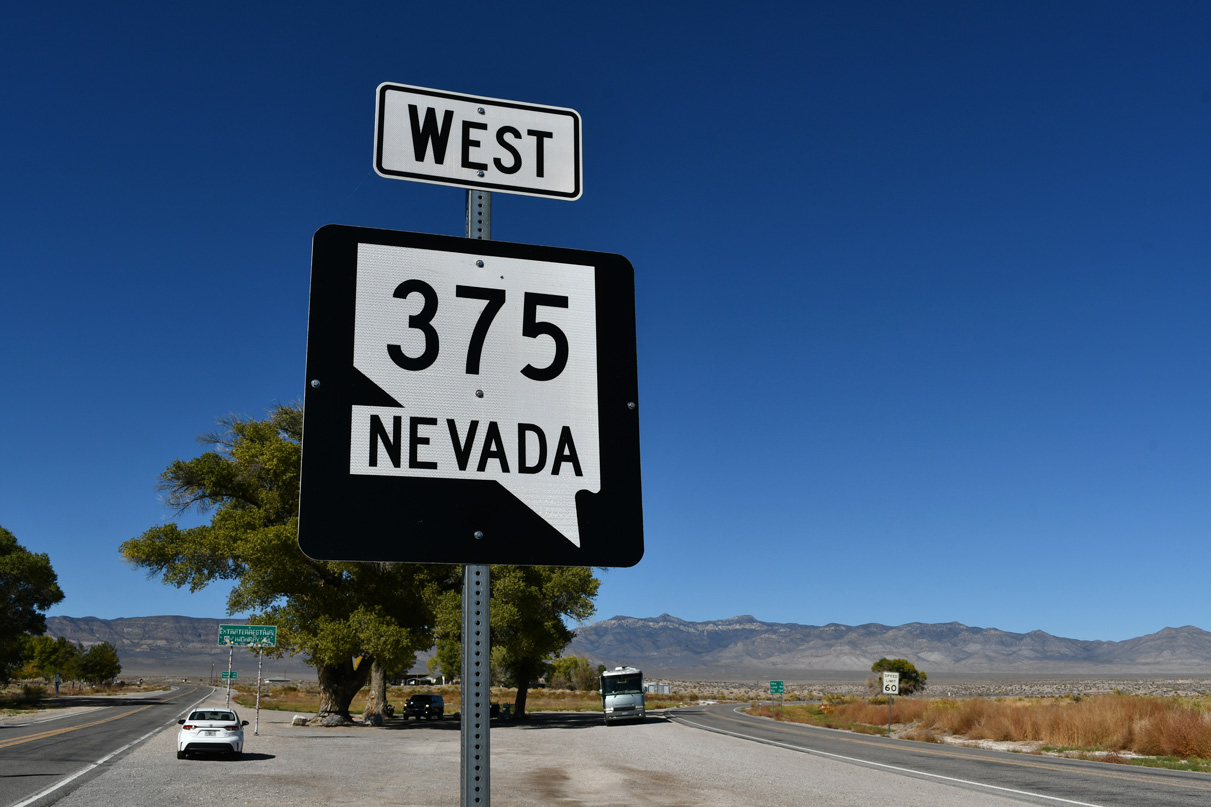
SR 375 (Extraterrestrial Highway) branches west from SR 318 at a wye intersection. The first confirming marker stands at the Crystal Springs Rest Area adjacent to SR 318.
10/21/25
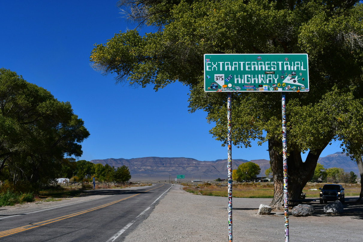
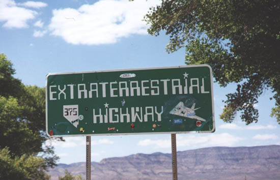
The Extraterrestrial Highway sign for SR 375 northbound appears at Crystal Springs Rest Area.
10/21/25
08/31/98

The census designated place of Rachel is 39 miles to the northwest of SR 318 and Crystal Springs. This distance sign was installed on September 7, 2025.
10/21/25
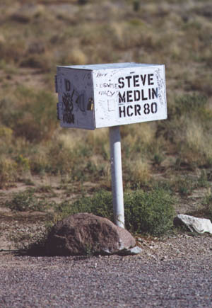
The "Black Mailbox" is located off SR 375 by the perimeter of Area, 29 miles to the west of Crystal Springs. Local theories abound about what this box is used for.
08/31/98

SR 375 travels 49 miles west from Crystal Springs to enter the unincorporated community of Rachel. Situated at 4,950 feet above sea level, the remote town is located in Lincoln County near Area 51.
08/31/98
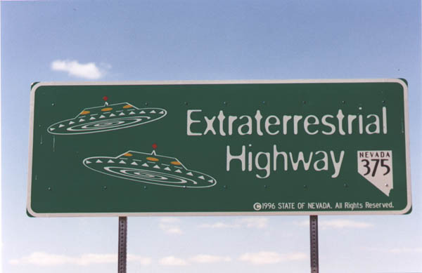
A variation of the Extraterrestrial Highway stands alongside SR 375 north in Rachel.
08/31/98
SR 375 (Extraterrestrial Highway) ventures 59 miles south from U.S. 6 to Rachel.
08/31/98
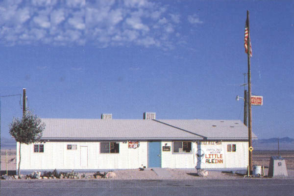
The kitschy "Little'Ale'Inn" lies at the southwest corner of SR 375 and Old Mill Street. The inn provides the lone food and lodging service for travelers along the remote Extraterrestrial Highway.
08/31/98
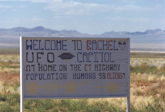
The official web site of Rachel, Nevada lists the 98 54 human inhabitants.
08/31/98
Photo Credits:
- ABRoads: 10/21/25
- Oscar Voss: 08/31/98
Connect with:
Page Updated Wednesday November 12, 2025.