SH 361 replaced Park Road 53 from Padre Island northward onto Mustang Island. The state highway forms a 34.70 mile arc from coastal Corpus Christi through Mustang Island State Park, Port Aransas, Aransas Pass, Ingleside and SH 35 at Portland.
|
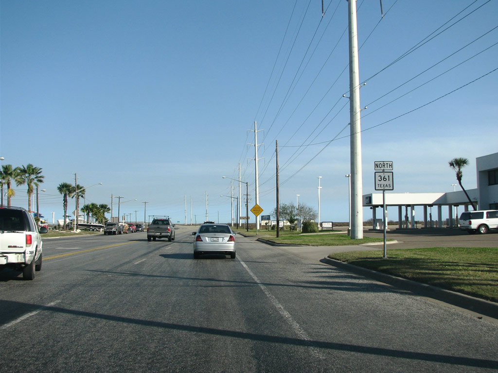
| SH 361 leaves South Padre Island Drive and begins its northeast route. 12/29/08 |
|
| Texas 361 spans Packery Channel between Padre Island and Mustang Island. 12/29/08 |
|
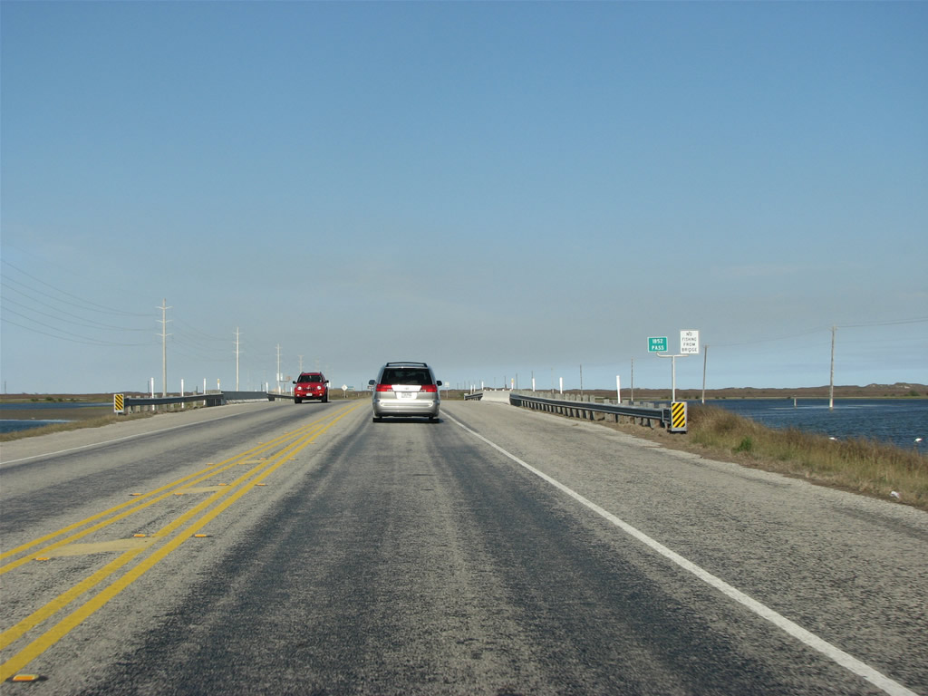
| Several passes flow between Laguna Madre and the Gulf of Mexico. Drivers cross over Corpus Christi Pass, signed here as 1852 Pass in this scene. 12/29/08 |
|
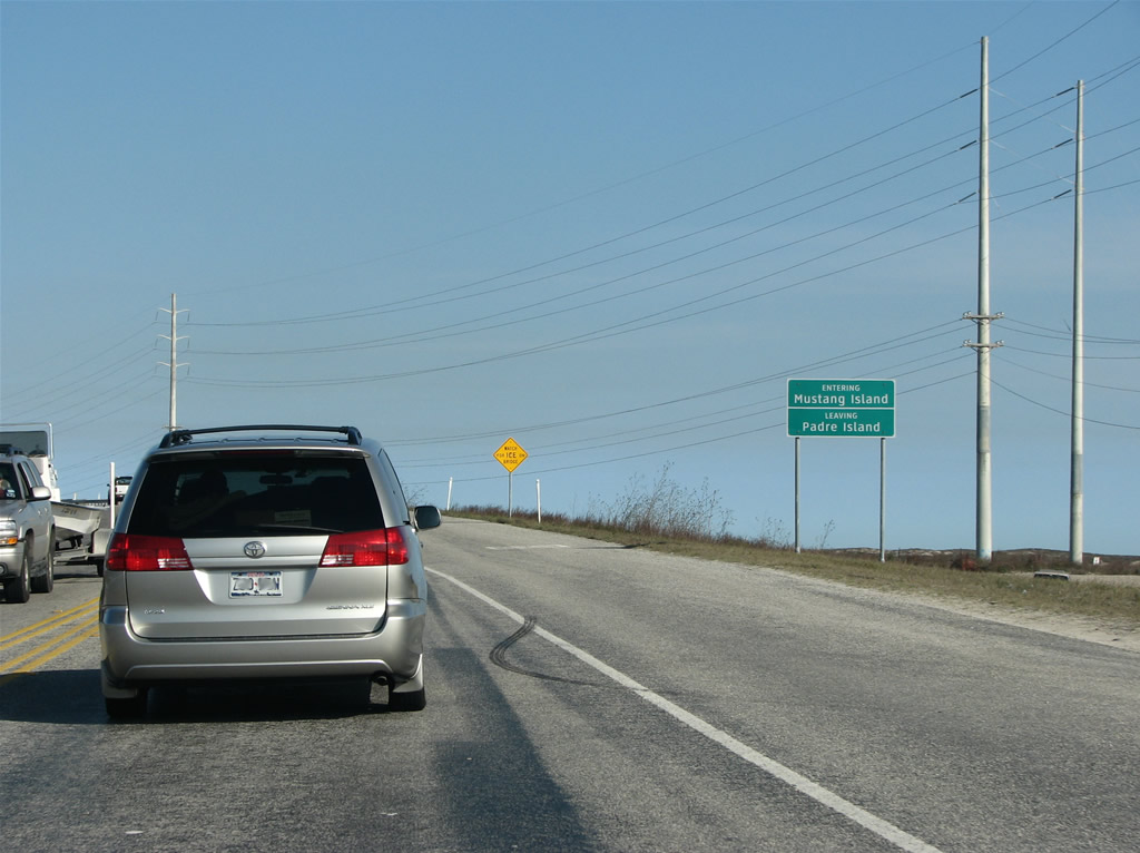
| Entering Mustang Island State Park on Texas 361 north. 12/29/08 |
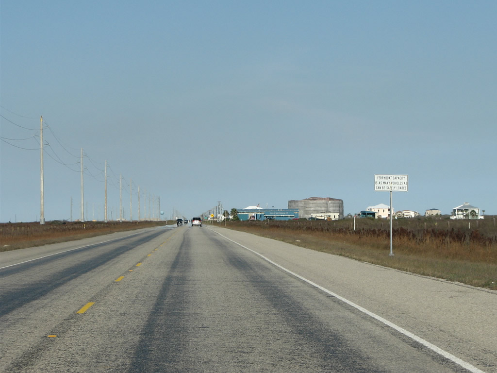
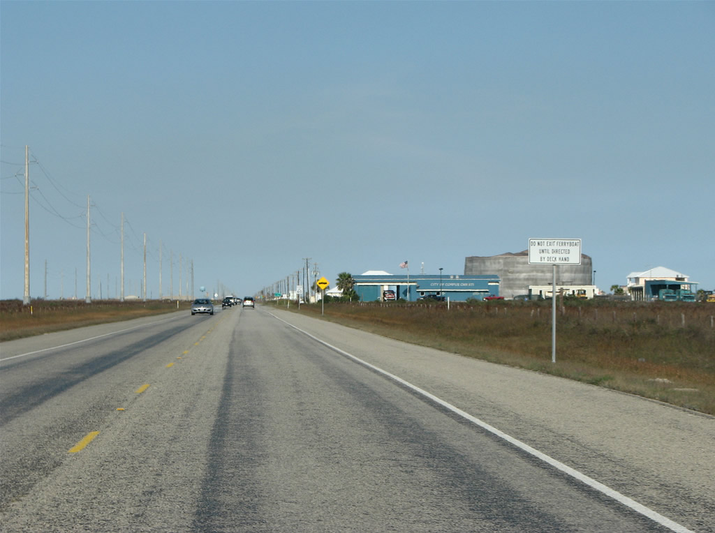
|
| A ferry shuttles vehicles across Corpus Christi Channel between the city of Port Aransas and Harbor Island. Signs advise motorists of the ferry service operation after SH 361 leaves Mustang Island State Park. 12/29/08 |
|
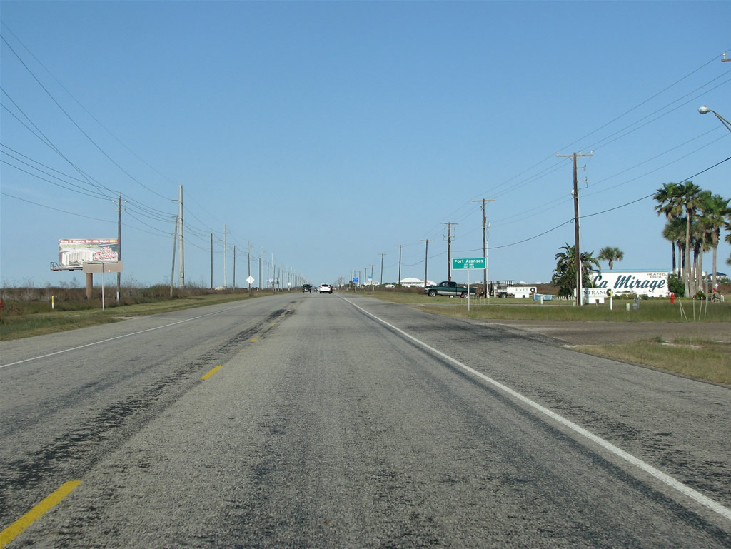
| Northbound at Beach Access Road 2 on Texas 361. 12/29/08 |
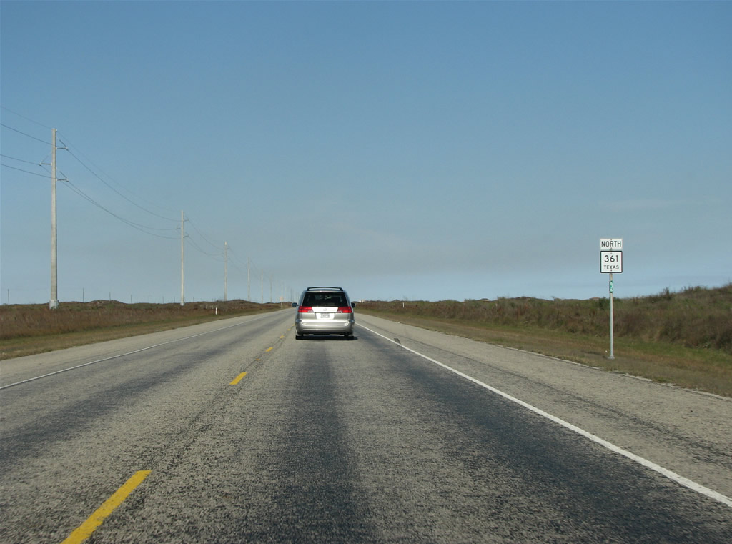
|
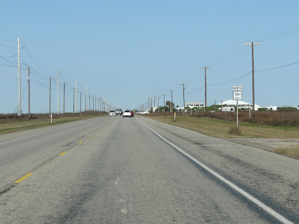
| Texas 361 northbound reassurance shield posted after Beach Access Road 2. 12/29/08 |
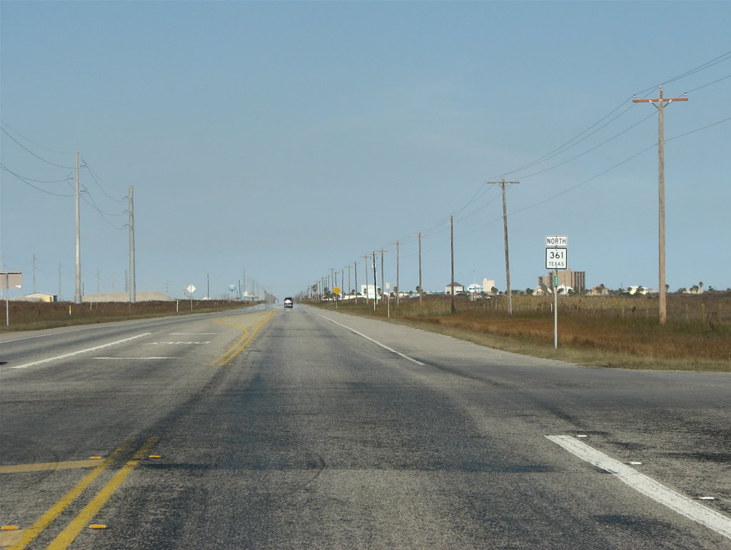
|
| Approaching the city limits of Port Aransas, a community of over 4,000. 12/29/08 |
|
| Continuing through Port Aransas along Allister Street on Texas 361 north. 12/29/08 |
Page Updated 01-20-2009.