|
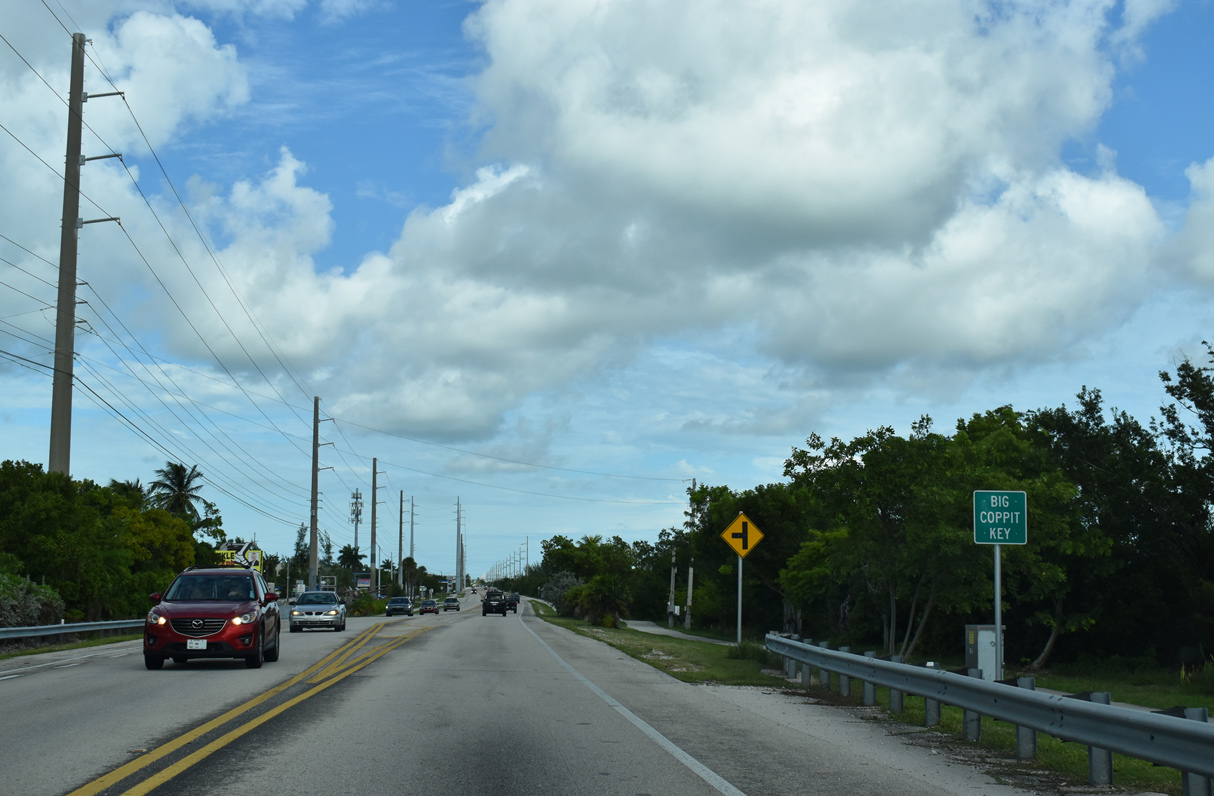
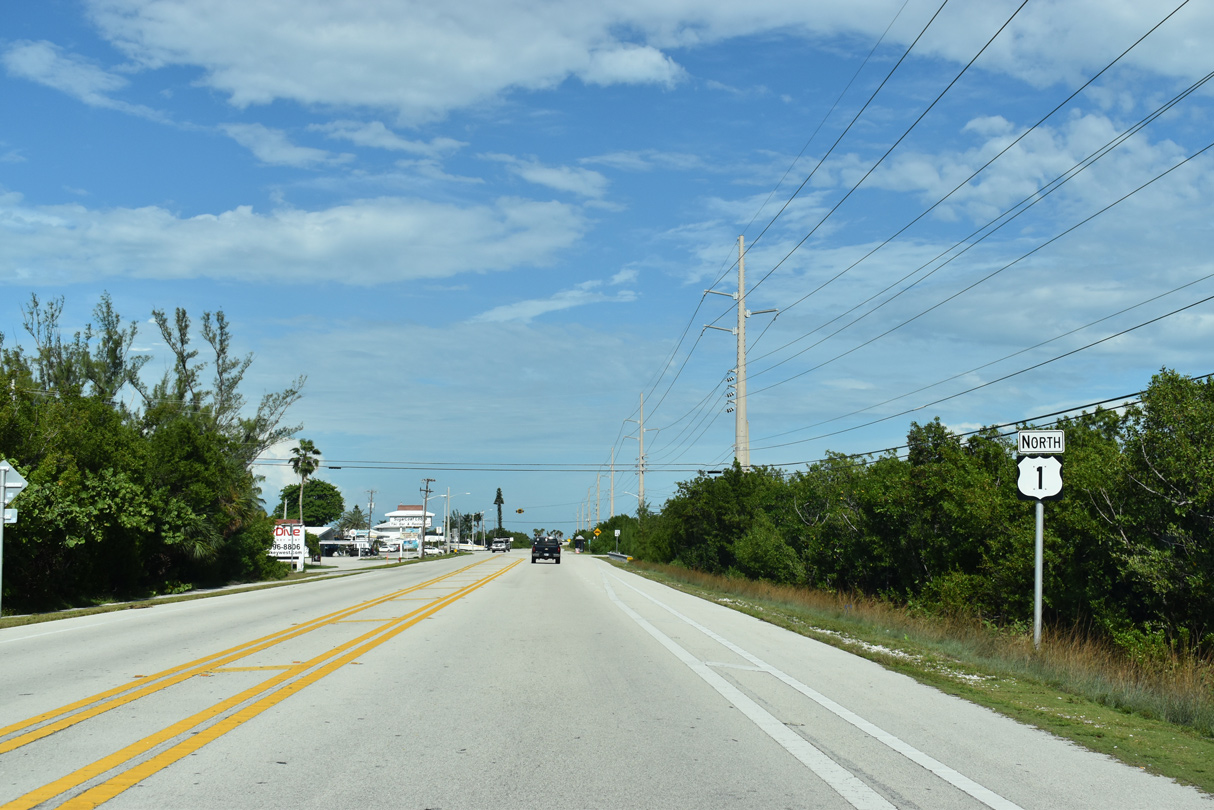
| Part of the original Overseas Highway, Boca Chica Road arcs southwest from U.S. 1 on Big Coppitt Key to residential areas on Geiger Key and Boca Chica Beach Park adjacent to NAS Key West. 10/17/20 |
|
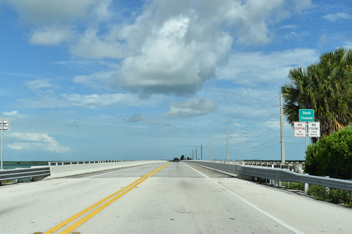
| U.S. 1 spans Shark Channel between Big Coppitt Key and the the south end of Shark Key on a bridge completed in 1979. Incorporated into the Florida Keys Overseas Heritage Trail, an older span parallels the south side of U.S. 1. 10/17/20 |
|
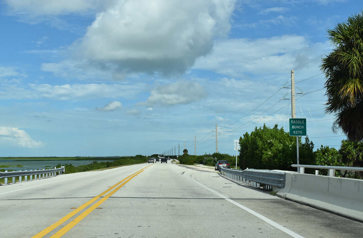
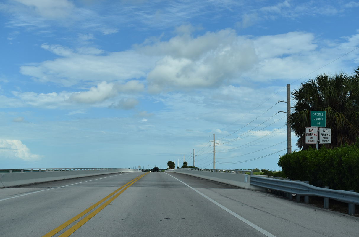
| Overseas Highway follows a long series of causeway and bridge spans across the Saddlebunch Keys. 10/17/20 |
|
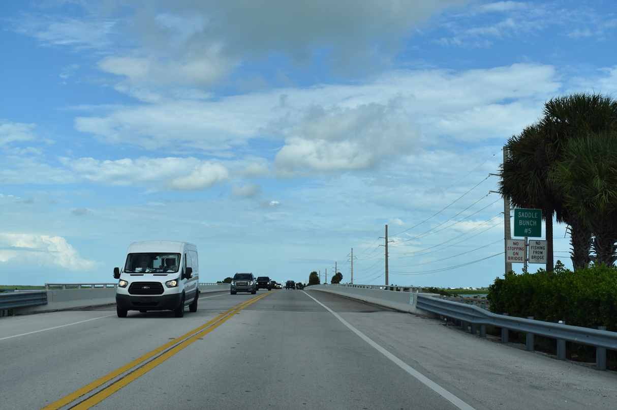
| Saddle Bunch Channels 7 through 2 allow tidal flows between the separate bodies of water. U.S. 1 spans Saddlebunch Channel 5 north of Similar Sound. 10/17/20 |
|
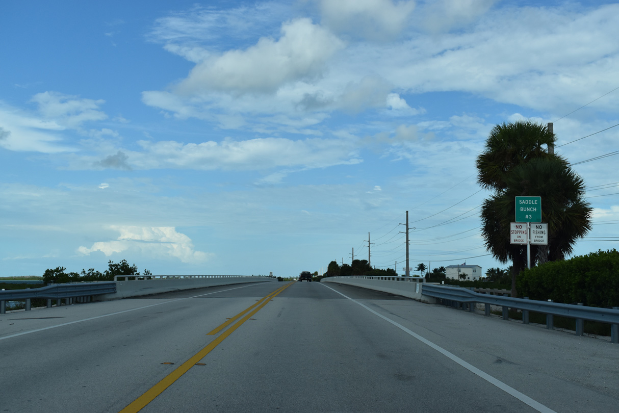
| Bridges along the original Overseas Highway remain in place on the south side of U.S. 1 across the respective Saddle Bunch Channels. 10/17/20 |
|
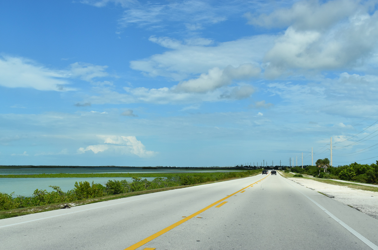
| Midway across the Saddlebunch Keys along U.S. 1 northbound. 10/17/20 |
|
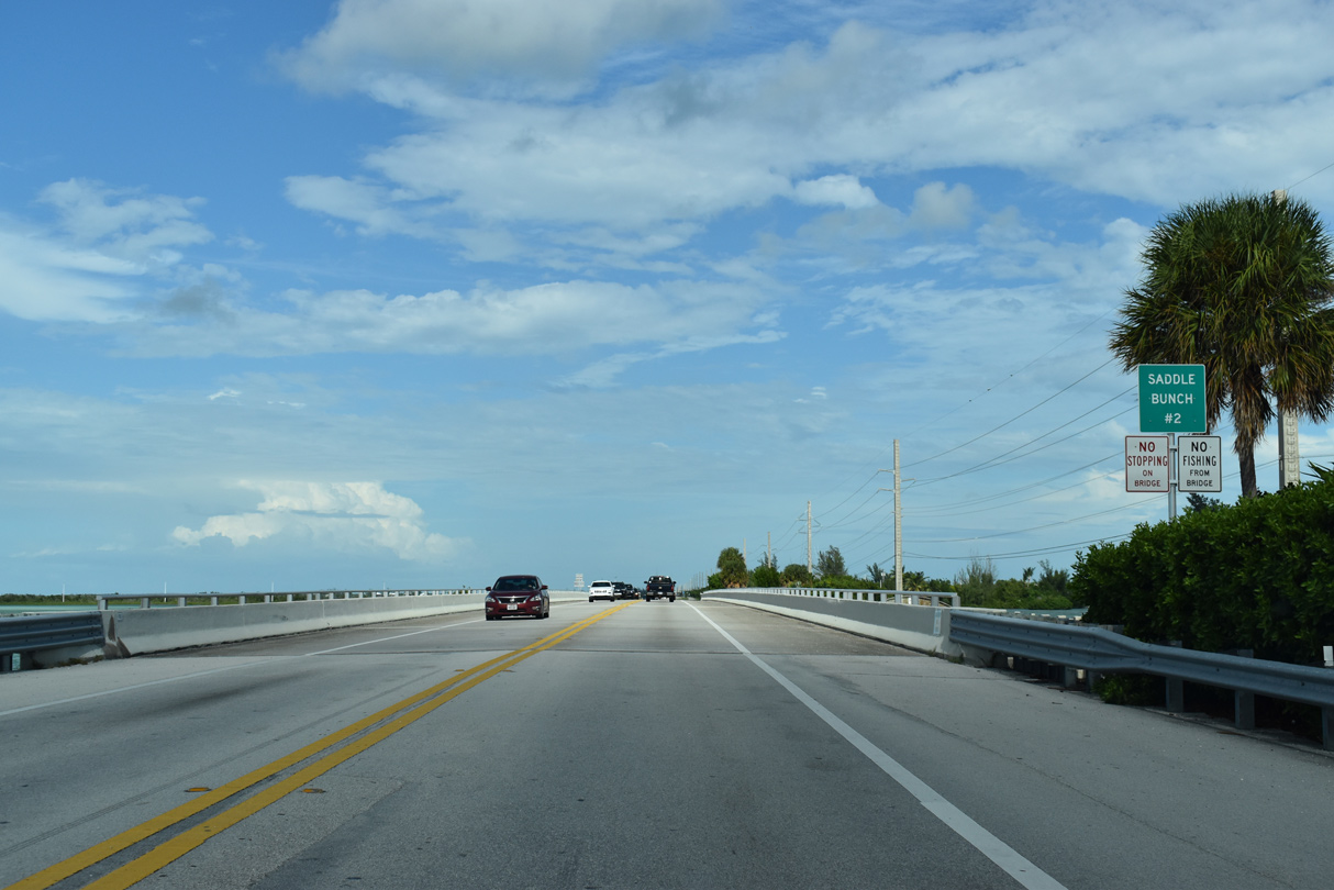
| U.S. 1 crosses Saddle Bunch Channel 2 ahead of Blue Water Drive south to an RV park. 10/17/20 |
|
| Saddle Bunch Channel 2 extends north from Lower Sugarloaf Sound. 10/17/20 |
|
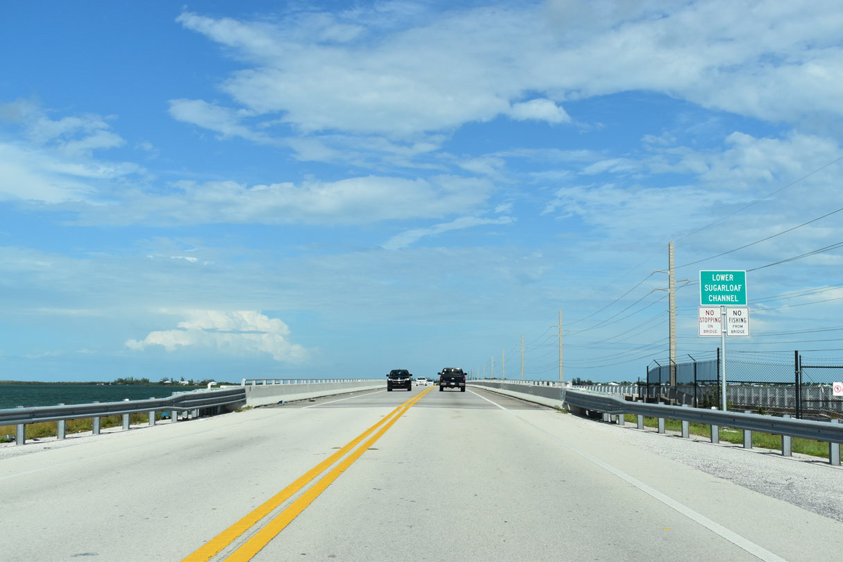
| Circle Drive spurs south to the Bay Point community from U.S. 1 just ahead of Lower Sugarloaf Channel. 10/17/20 |
|
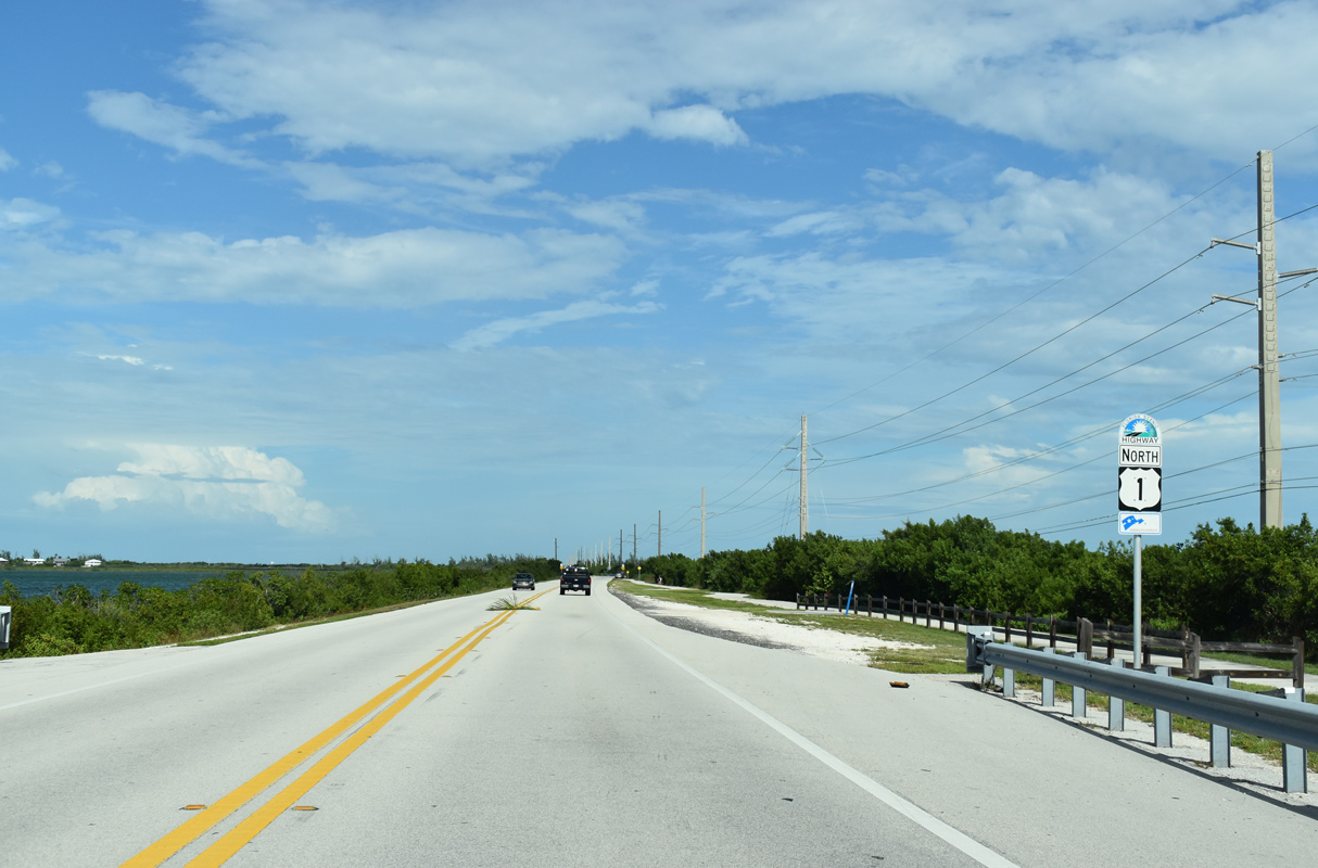
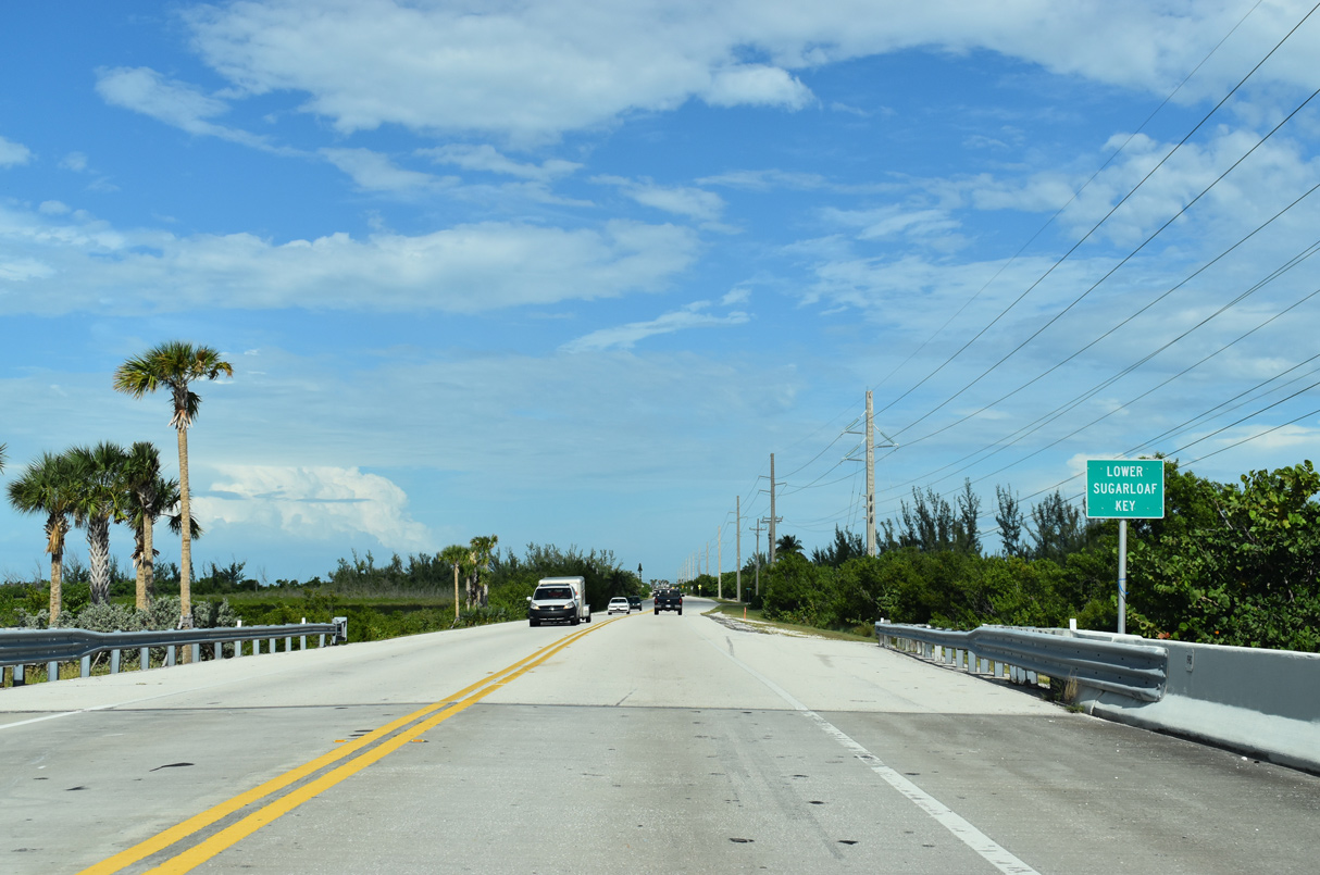
| U.S. 1 lines a causeway crossing Lower Sugarloaf Sound east onto Lower Sugarloaf Key. 10/17/20 |
|
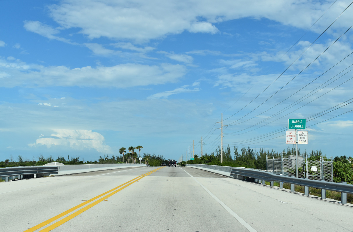
| U.S. 1 (Overseas Highway) spans Harris Channel east to populated areas of Sugarloaf Key. 10/17/20 |
|
| Lower Sugarloaf Key comprises an island partially carved into canal-lined subdivisions along both South Point Drive and Sugarloaf Boulevard (unsigned CR 939). 10/17/20 |
|
| A handful of businesses line U.S. 1 on Lower Sugarloaf Key beyond this northbound shield assembly. 10/17/20 |
|
| CR 939 spurs 2.67 miles south from U.S. 1 (Overseas Highway) along Sugarloaf Boulevard to the original Overseas Highway on Old State Road 4A west to Sugarloaf Beach. 10/17/20 |
|
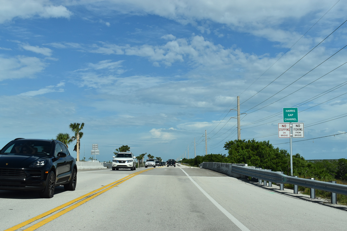
| Continuing east from Sugarloaf Shores and Lower Sugarloaf Key, U.S. 1 crosses Harris Gap Channel. 10/17/20 |
|
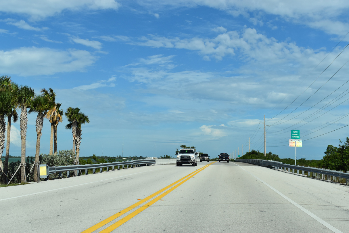
| North Harris Channel flows between Upper Sugarloaf Sound to the south of Buttonwood Key. 10/17/20 |
|
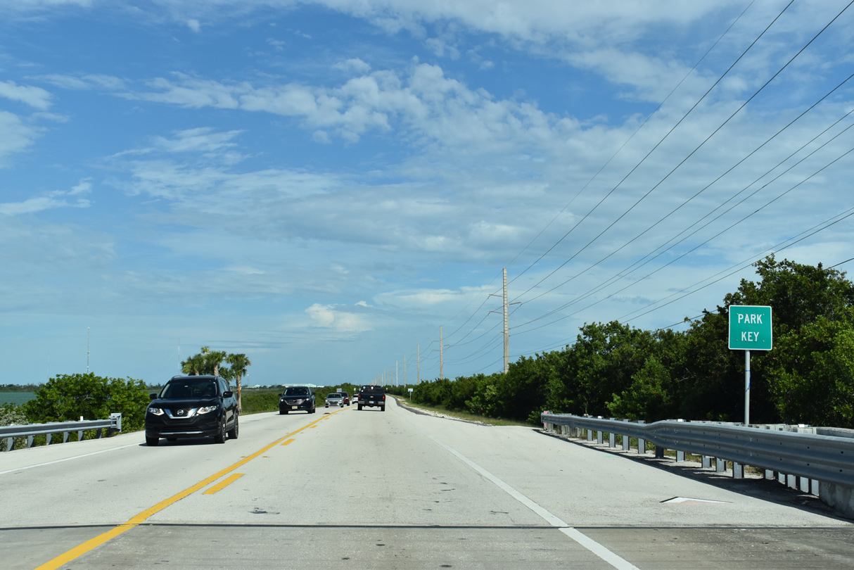
| U.S. 1 (Overseas Highway) runs along the length of narrow Park Key. 10/17/20 |
|
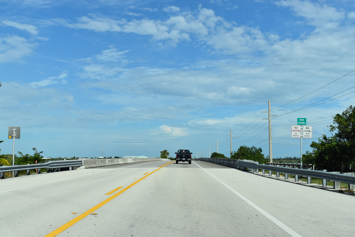
| Park Channel separates Park Key and Sugarloaf Key. 10/17/20 |
|
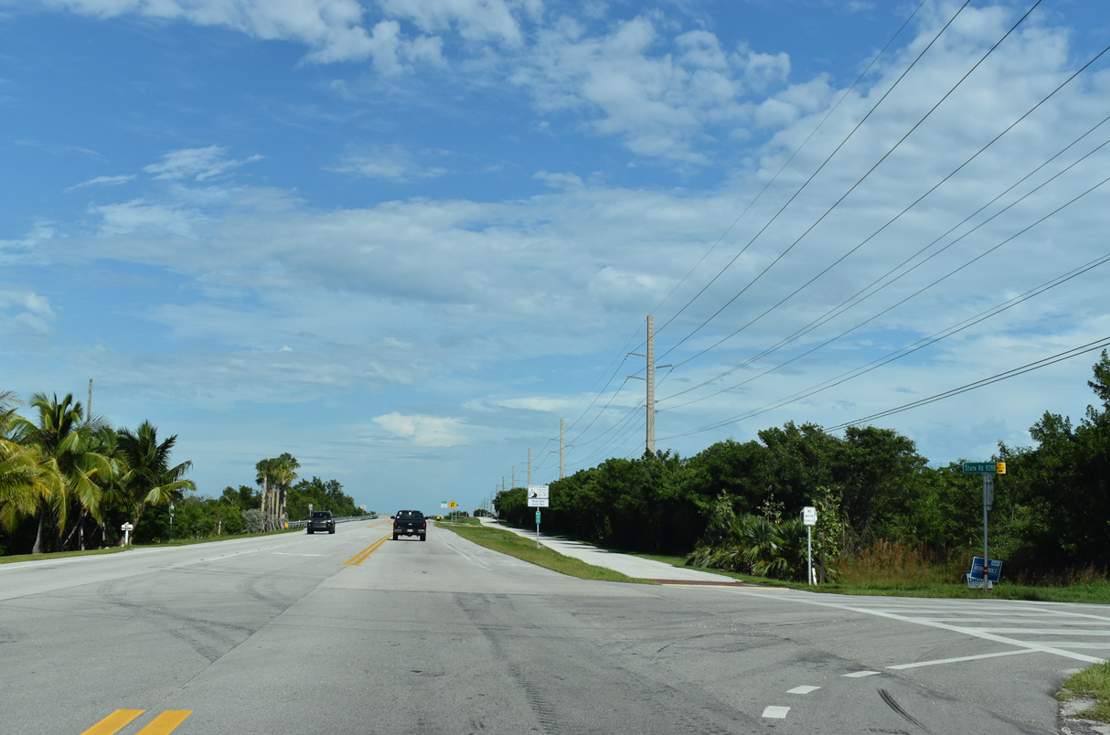
| Overseas Highway travels 1.4 miles across the middle of Sugarloaf Key. 10/17/20 |
|
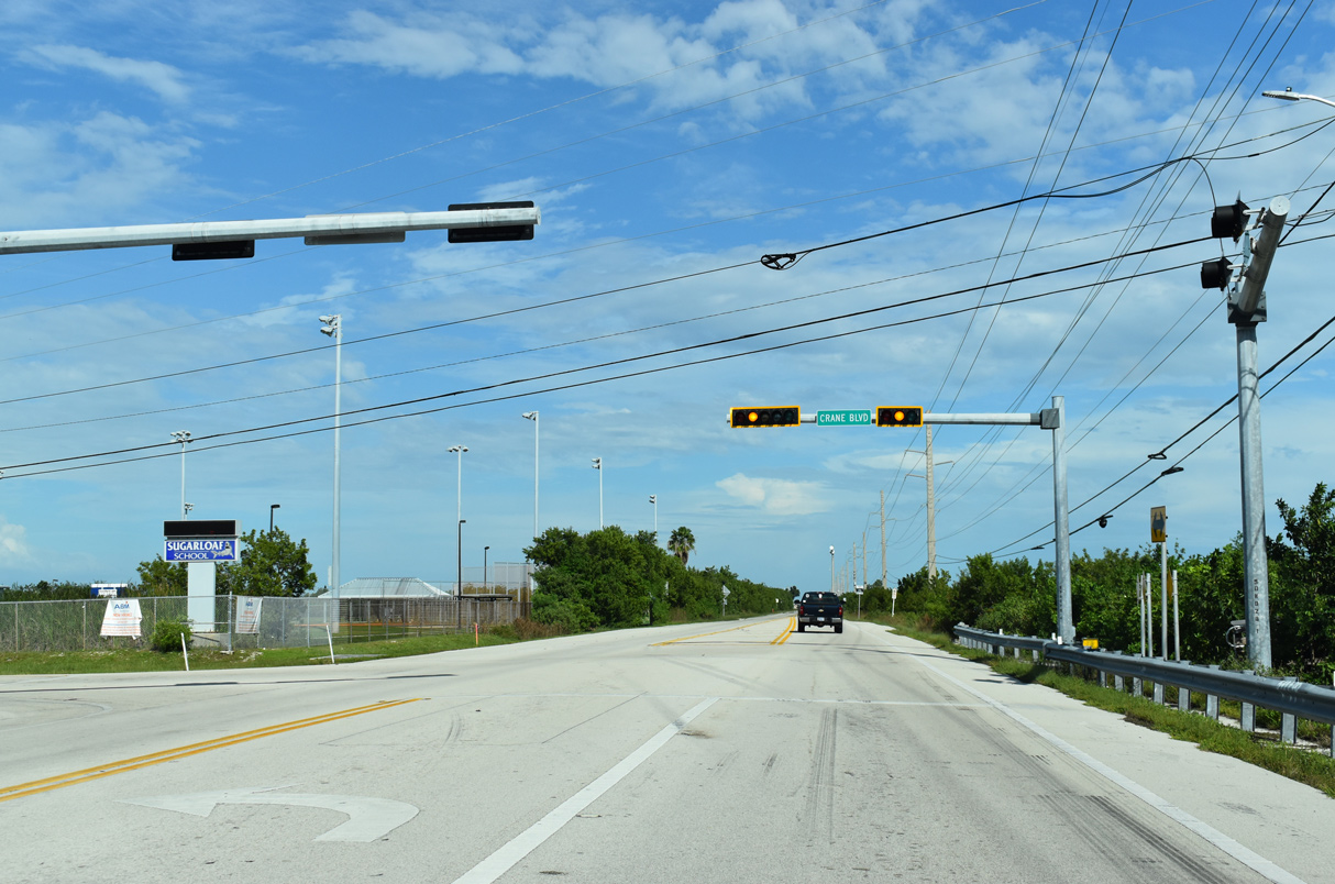
| Crane Boulevard stems north from Overseas Highway to grid of residential streets and the National Key Deer Refuge. 10/17/20 |
|
| State Road 939B (CR 939) spurs south to Pirates Cove along a section of the original Overseas Highway. Old State Road 4A continued south along Sugarloaf Key across Tarpon Creek. 10/17/20 |
|
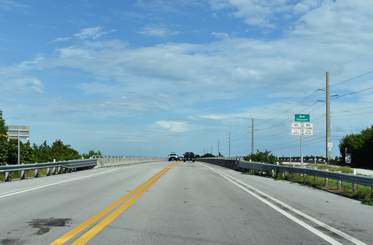
| Bow Channel separates Sugarloaf and Cudjoe Keys. Another span along the original Overseas Highway remains in place along the Florida Keys Overseas Heritage Trail. 10/17/20 |
|
| A grid of canal lined streets spreads along western reaches of Cudjoe Key between Bow Channel and Cudjoe Bay. 10/17/20 |
|
| Spanish Main Drive spurs south to an array of residential streets on the east end of Cudjoe Key. 10/17/20 |
|
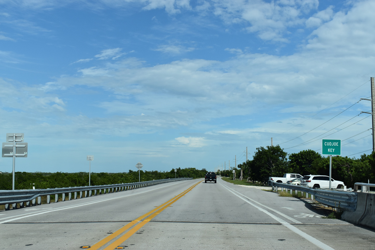
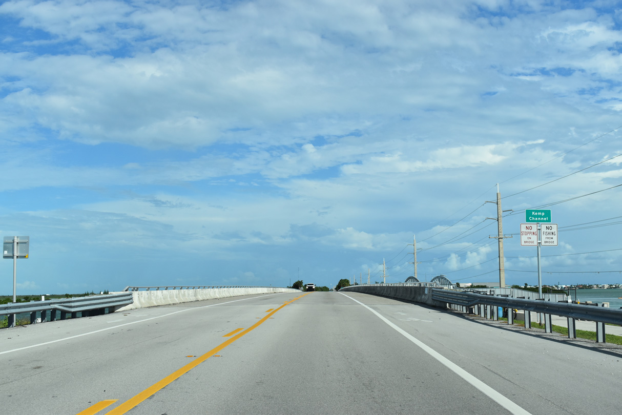
| Kemp Channel separates the Cudjoe Key from Summerland Key east of Spanish Main Drive. 10/17/20 |
|
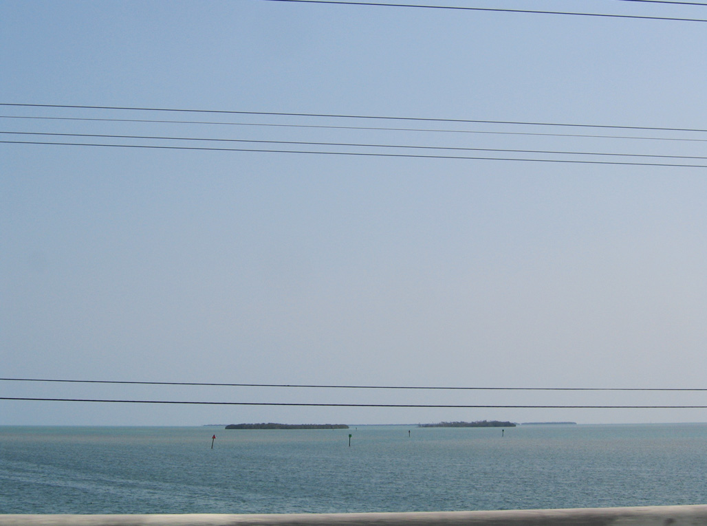
| The undeveloped Out and Venture Keys lie southwest of Kemp Channel. Distant Lois Key lines the horizon north of Hawk Channel. 05/07/06 |
|
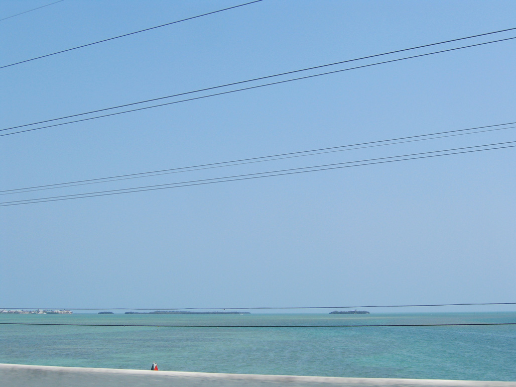
| Crab Key, Money Key and the southern reaches of Summerland Key appear along the southeastern horizon. 05/07/06 |
|
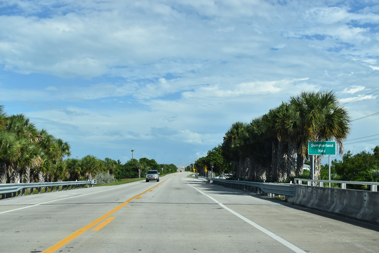
| The Summerland Cove community spreads south of U.S. 1 on Summerland Key. 10/17/20 |
|
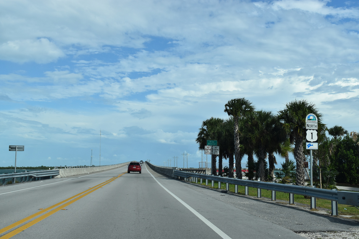
| U.S. 1 confirming marker posted east of CR 942. Unsigned CR 942 spurs 1.41 miles southwest along E Shore Drive and Ocean Drive to the southern tip of Summerland Key. 10/17/20 |
|
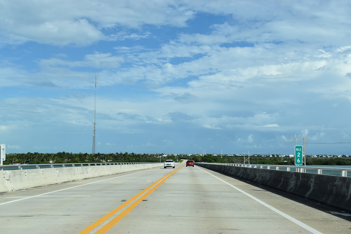
| Mile marker 26 for U.S. 1 appears midway across Niles Channel. Separate sections of the original Overseas Highway bridges remain to the south. 10/17/20 |
|
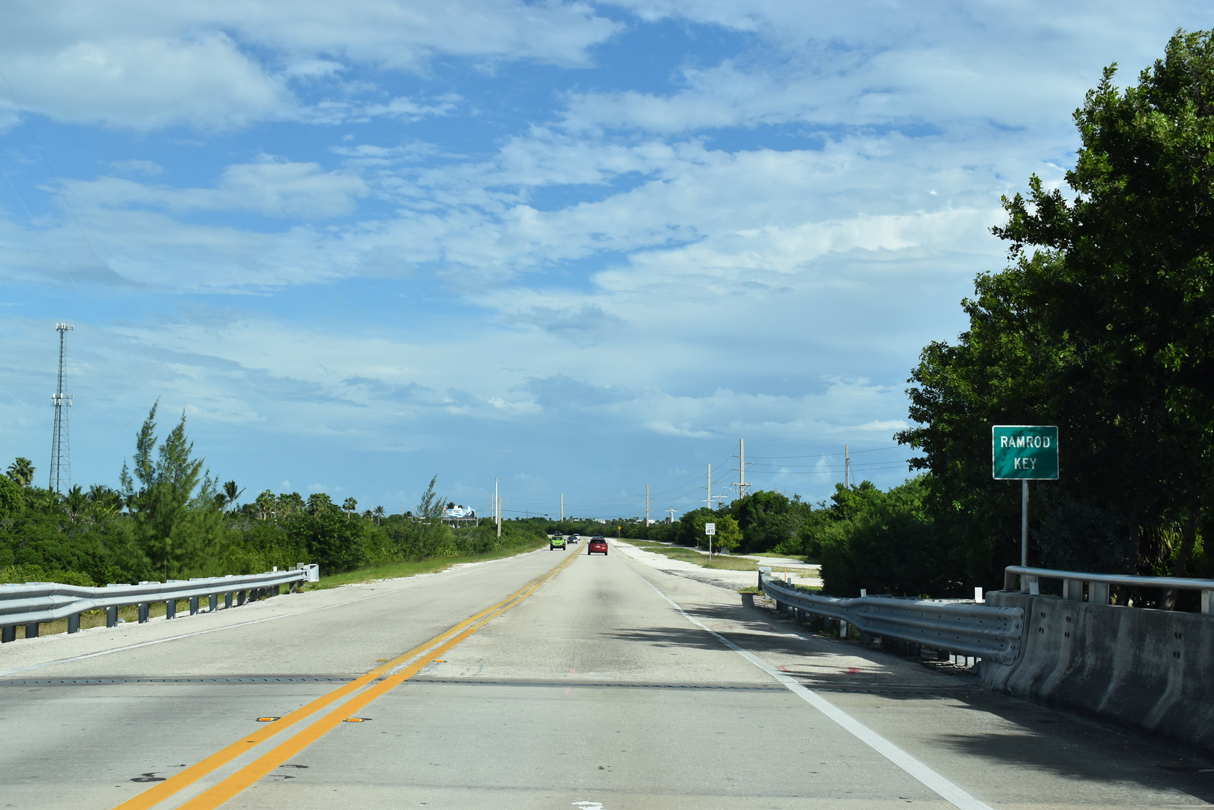
| Mangroves and other low vegetation line U.S. 1 across Ramrod Key. SR 4A (original Overseas Highway) parallels U.S. 1 just to the north. West Indies Drive heads south to Newfound Harbor while Mako and Coral Avenues serve residential areas to the north. 10/17/20 |
|
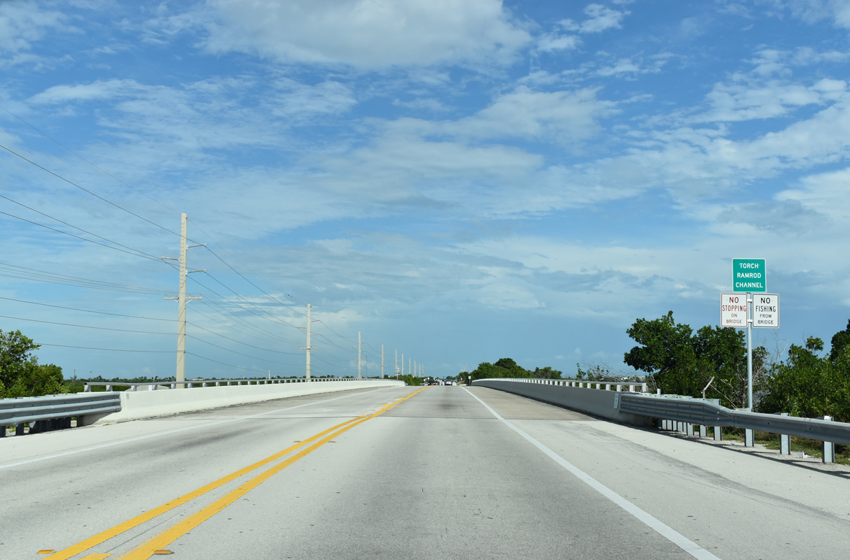
| U.S. 1 spans Torch Ramrod Key ahead of the intersection with Middle Torch Road. Middle Torch Road leads northwest to Middle Torch Key and Dorn Road to Big Torch Key. 10/17/20 |
|
| Shallow waters of Torch Channel separate Middle Torch and Little Torch Keys. 10/17/20 |
|
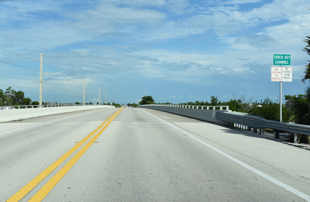
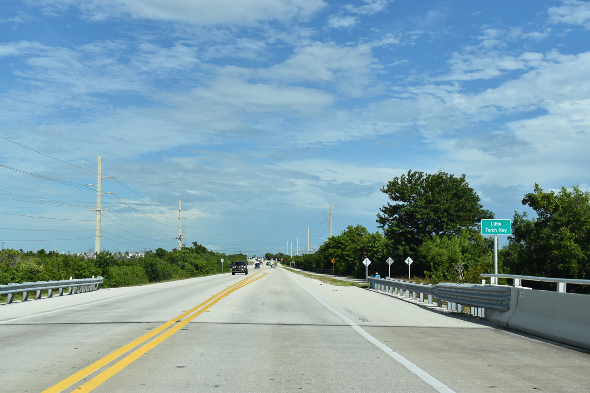
| SR 4A, a northern spur of the old Overseas Highway, stems north from U.S. 1 on Little Torch Key to the Coral Shores manufactured home community at the north end of the island. 10/17/20 |
|
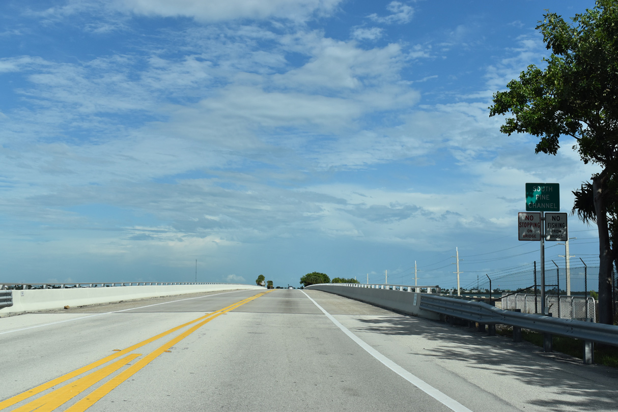
| U.S. 1 spans South Pine Channel onto a narrow causeway traversing Pine Channel east toward Big Pine Key. 10/17/20 |
|
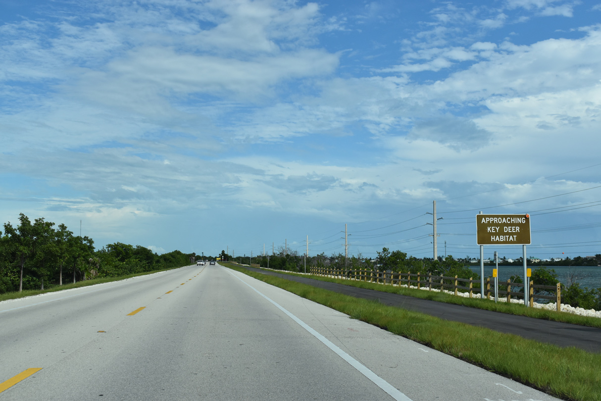
| The National Key Deer Refuge encompasses much of Big Pine, No Name, and Refuge Keys. Native to just a few of the Lower Keys, Key Deer are small animals approximately one third the size of traditional deer. 10/17/20 |
|
| Big Pine Key was named for the pine trees that grow here. Oolitic limestone comprises much of the island, and these rocky formations contain pockets of fresh water, so much that Big Pine Key has the most fresh water of any Florida Key. 10/17/20 |
|
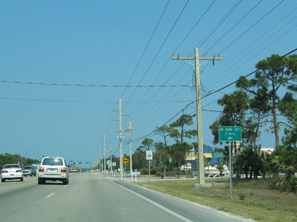
| Key Deer Boulevard (former CR 940) spurs 4.54 miles from U.S. 1 (Overseas Highway) to Watson Boulevard and the north end of Big Pine Key. Watson Boulevard follows a section of old Overseas Highway dating from 1938 east across Bogie Channel onto No Name Key. 05/07/06 |
|
| Key Deer Boulevard leads to the National Key Deer Visitor Center and Blue Hole, a freshwater pond created from an abandoned oolite quarry. 10/17/20 |
|
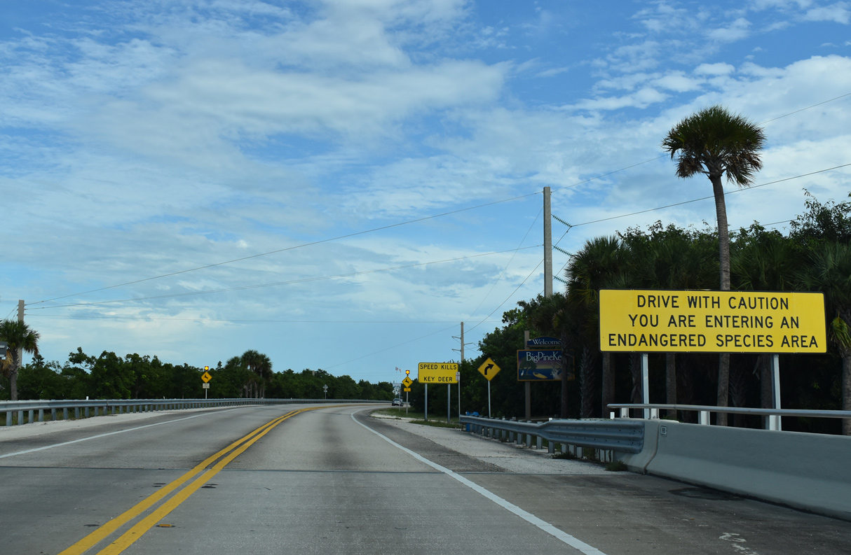
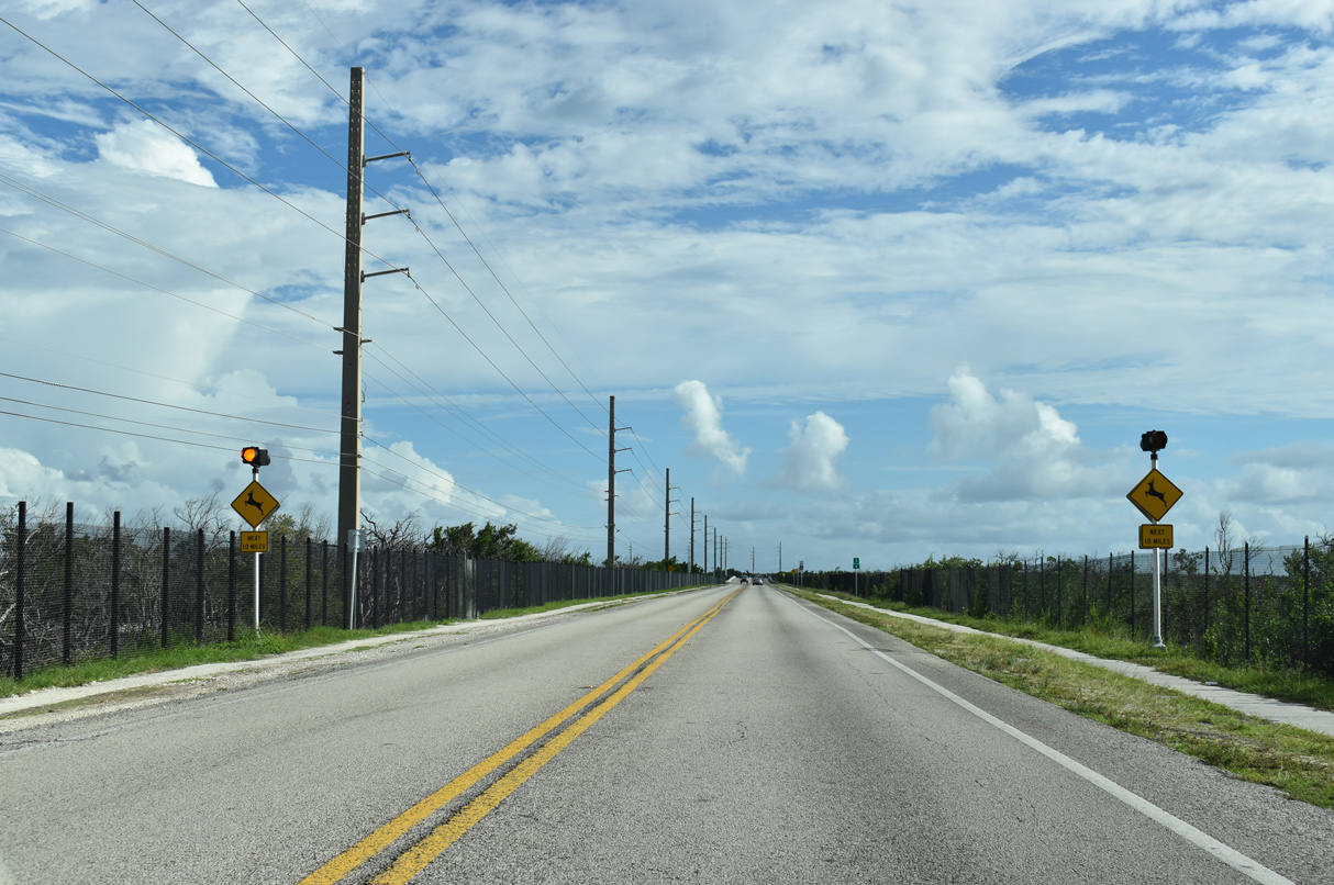
| Protective fences and wildlife underpasses were enhancements made along U.S. 1 across Big Pine Key to protect the low population of Key Deer, which was estimated to be at 800 by the mid 2000s. 10/17/20 |
|
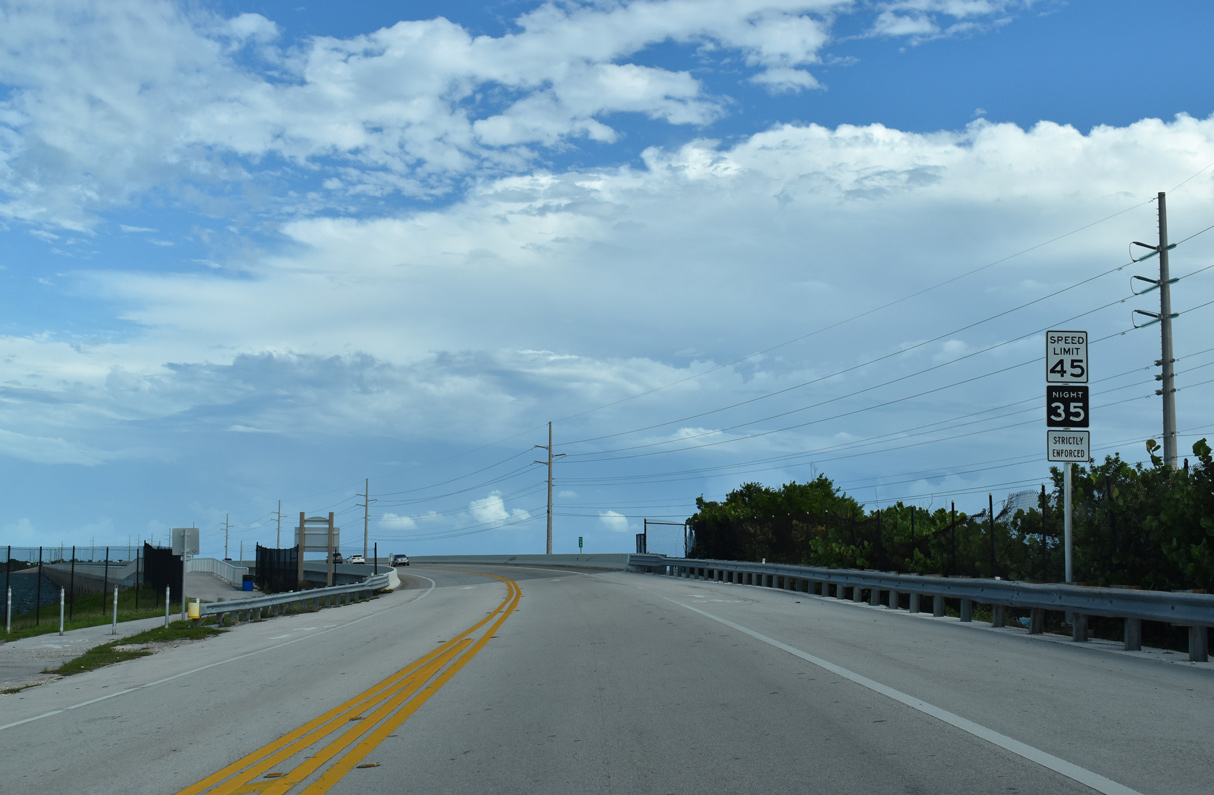
| U.S. 1 turns southeast along a narrow strip of Big Pine Key separating Coupon Bight and Spanish Harbor. Reduced speed limits on Big Pine Key are another measure taken to protect Key Deer. 10/17/20 |
|
| U.S. 1 turns east again to span Spanish Harbor Channel between Big Pine Key and the Spanish Harbor Keys. The previous bridge for the Overseas Highway lines the north side of the crossing. 10/17/20 |
|
| Undeveloped Spanish Harbor and West Summerland Keys rise between the lengthy Spanish Harbor Channel and Bahia Honda Bridges. Waters to the south of the spans open directly into Hawk Channel and the Straits of Florida. 10/17/20 |
|
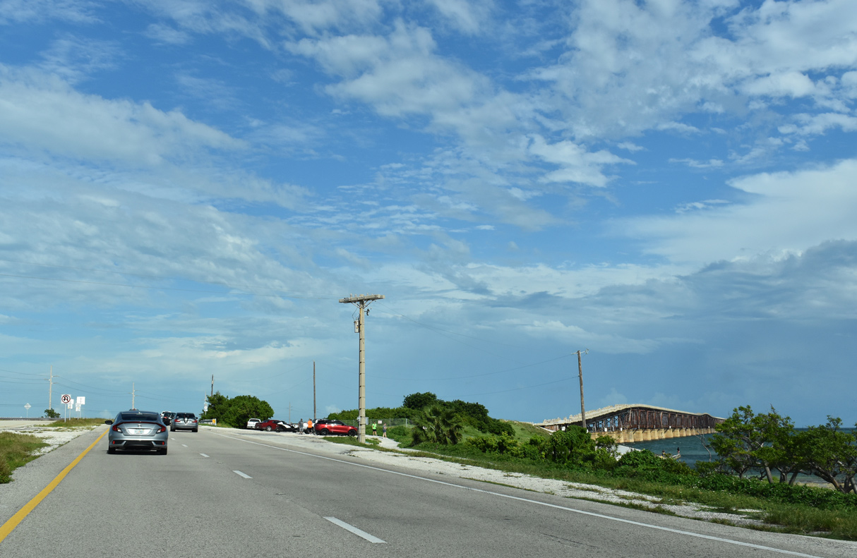
| A small overlook and parking area lies at the east end of the Spanish Keys. Visible nearby is the old Bahia Honda Railroad Bridge. 10/17/20 |
|
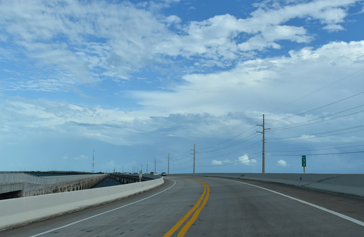
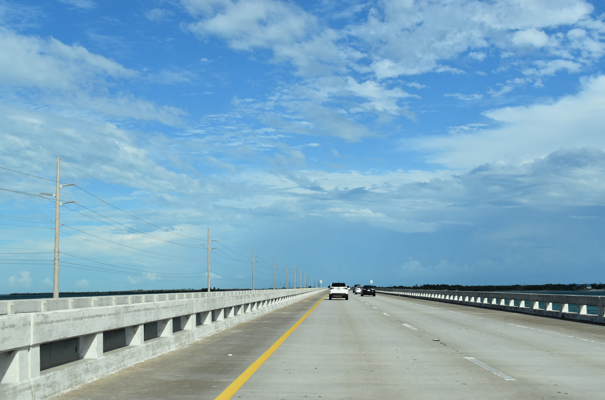
| U.S. 1 expands to a four lane, divided highway ahead of the Bahia Honda Bridge. 10/17/20 |
|
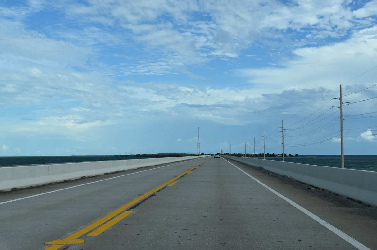
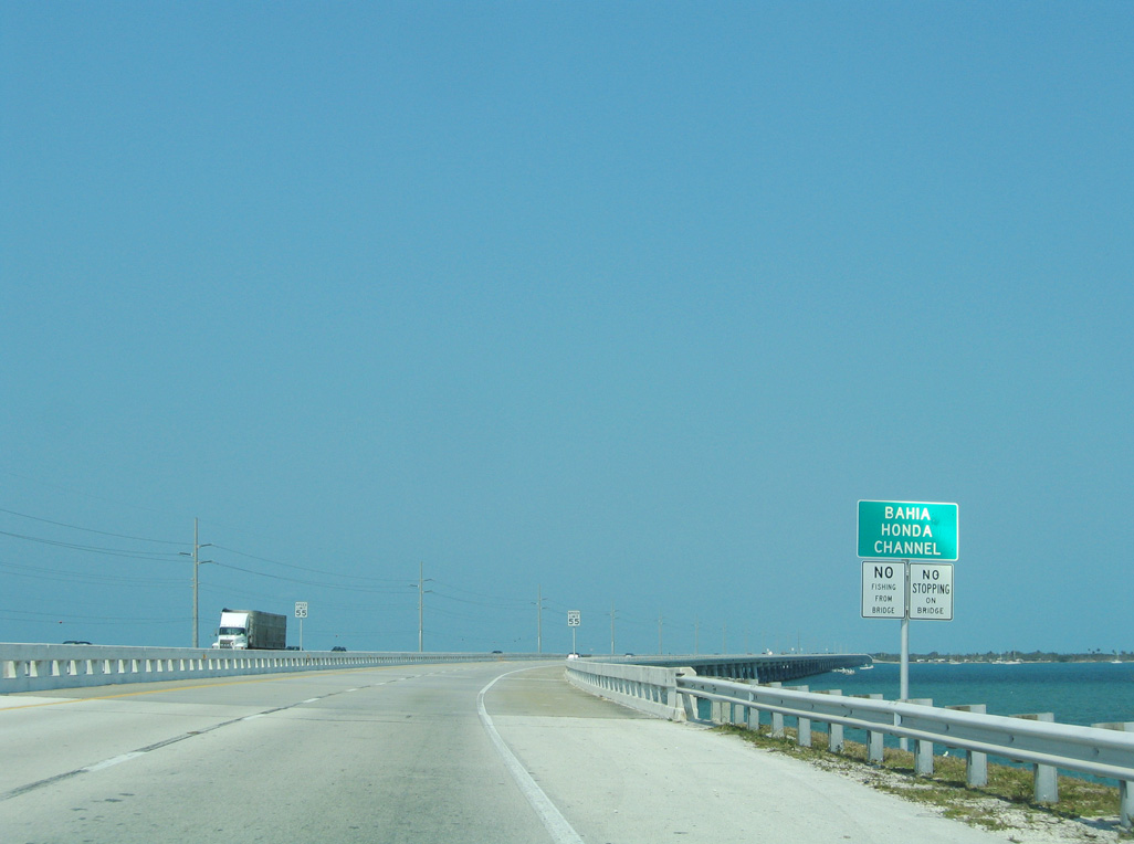
| Part of the Intracoastal Waterway, U.S. 1 spans Bahia Honda Channel east to Bahia Honda Key. 05/07/06 |
|
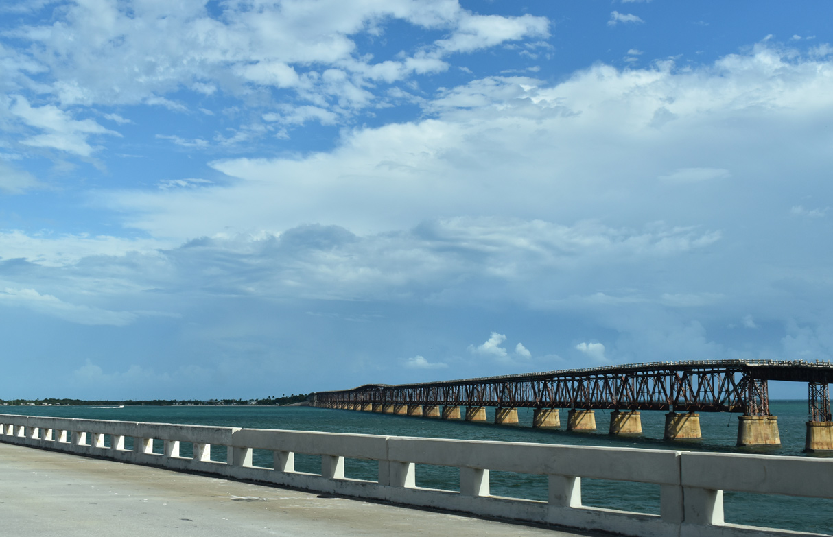
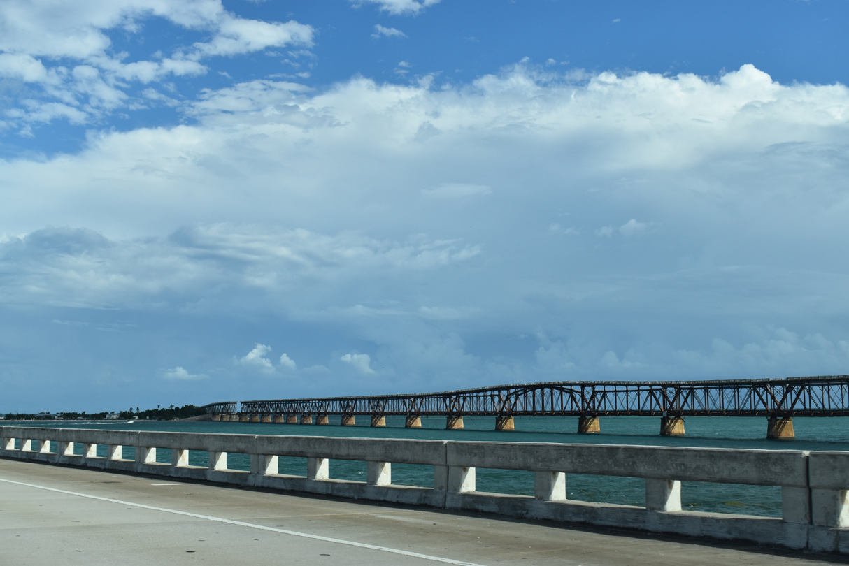
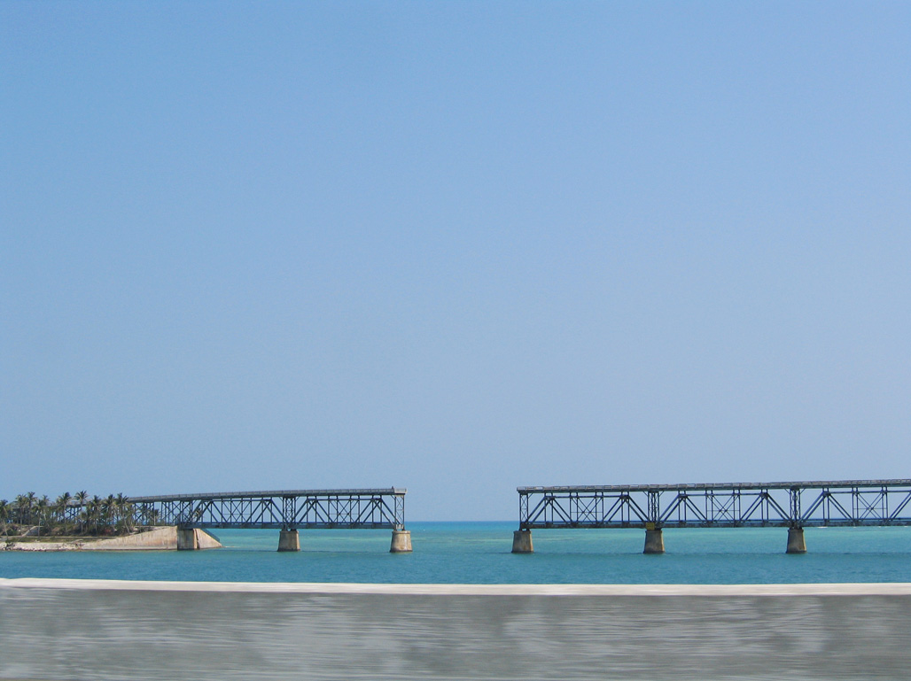
| Built in 1912, two portions of the original Florida East Coast Railroad Bridge span Bahia Honda Channel to the south.2 10/17/20 |
|
| Railroad service to Key West ended when the Labor Day Hurricane of 1935 destroyed over 40 miles of the track. The state purchased the railroad right-of-way in 1936 and began constructing the first Overseas Highway.2 10/17/20 |
|
| The twin two lane concrete bridges taking Overseas Highway across Bahia Honda Channel opened in 1972.1 10/17/20 |
|
| Opened in 1938, the first Overseas Highway alignment utilized the existing railroad truss bridge with a concrete deck constructed on the top of the superstructure.2 10/17/20 |
|
| 35 feet deep, the Bahia Honda Bridge spans the deepest channel in the Florida Keys.1 10/17/20 |
|
| A second cut separates the original Bahia Honda Bridge from the west end of Bahia Key. 05/07/06 |
|
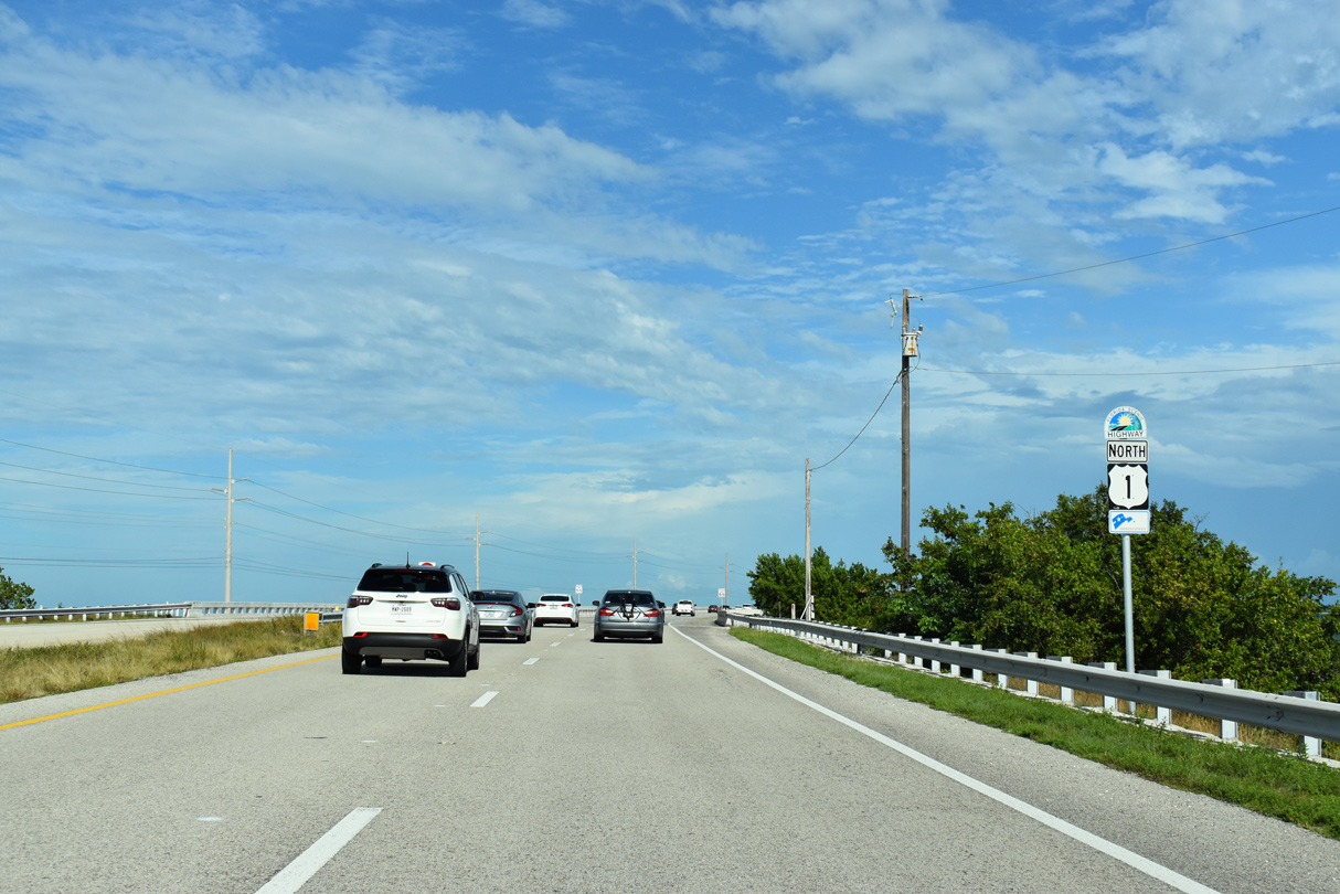
| U.S. 1 northbound reaches Bahia Honda Key and Bahia Honda State Park, a 524 acre facility featuring opportunities for visitors to snorkel, swim and fish. The park was established in 1961 with an initial 13 acre purchase by the state.1 10/17/20 |
|
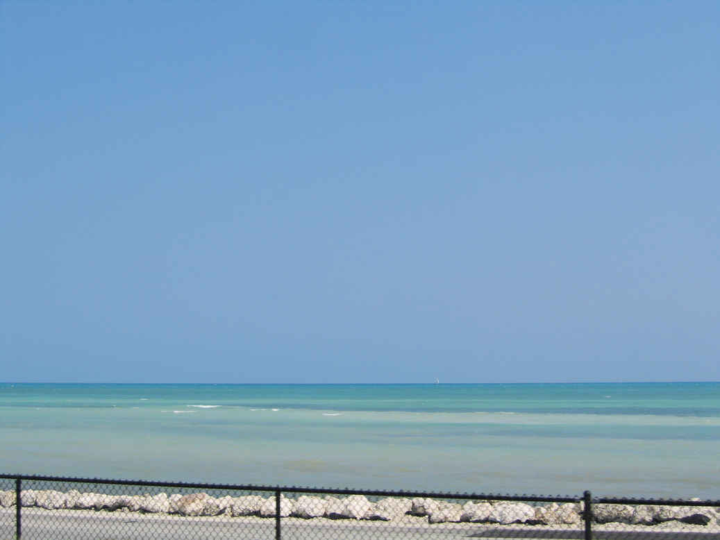
| Waters of Hawk Channel and the Florida Straits open south from Overseas Highway on Bahia Honda Key. 05/07/06 |
|
| U.S. 1 crosses Ohio Bahia Honda Channel adjacent to the Florida Keys Overseas Heritage Trail. 10/17/20 |
|
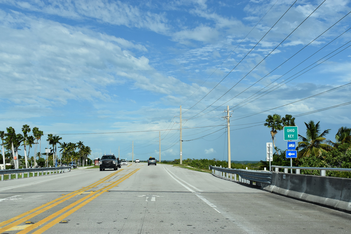
| Ohio Key is a relatively small island that is home to an RV Park and Marina. 10/17/20 |
|
| Small stands of mangroves rises along the south side of Ohio Key. 10/17/20 |
|
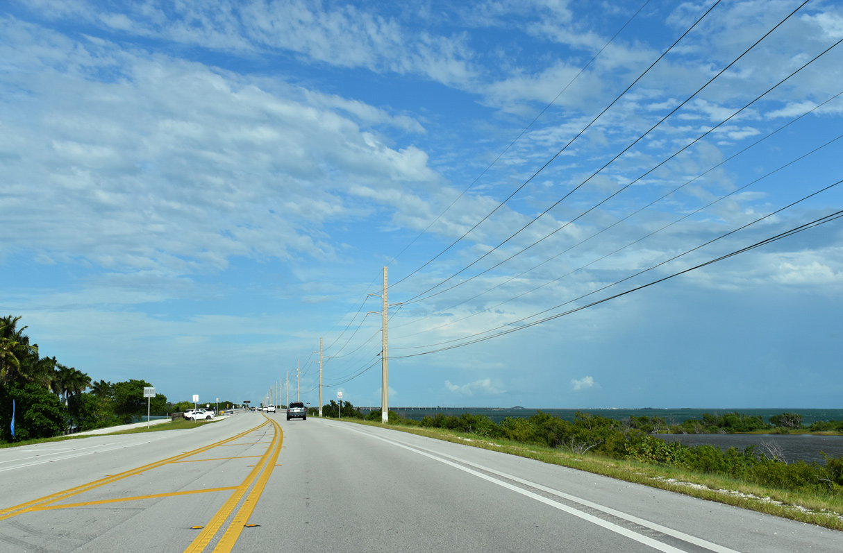
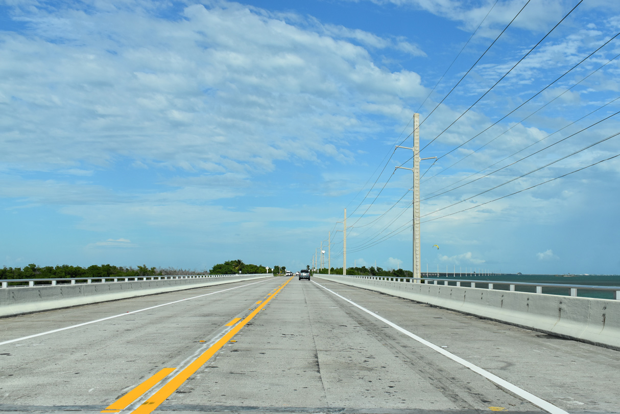
| U.S. 1 (Overseas Highway) straddles the southern shores of Missouri and Little Duck Keys ahead of the Seven Mile Bridge. 10/17/20 |
|
| Old Overseas Highway bridges parallel U.S. 1 on the north side of the Ohio Missouri and Little Duck Missouri Channels. 10/17/20 |
|
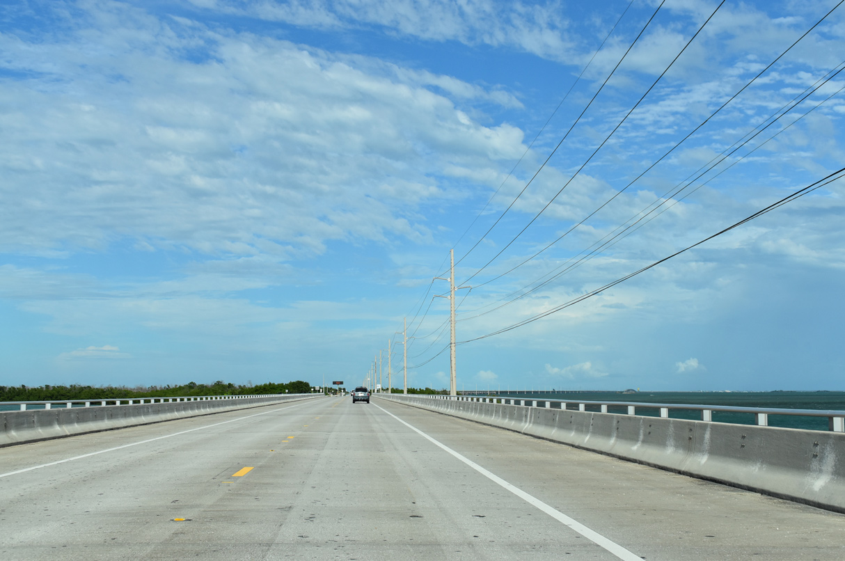
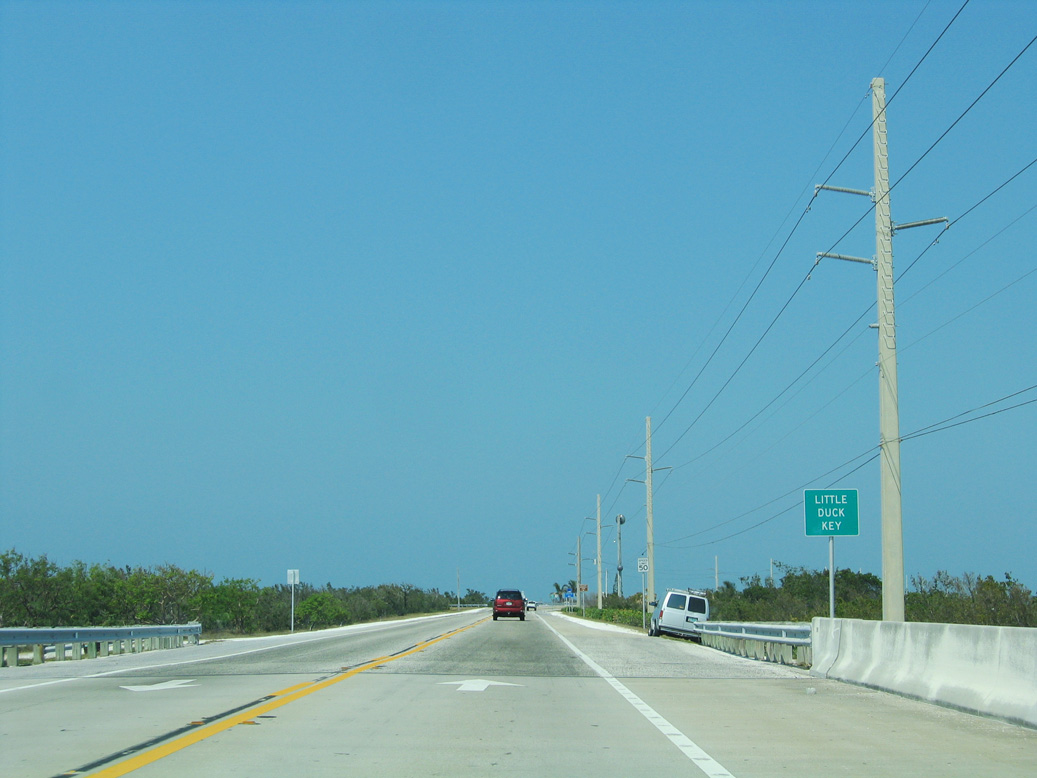
| U.S. 1 bends east over Little Duck Key by Veterans Memorial Park. 05/07/06 |
Page Updated 04-22-2024.