|
| Entering the Charlottesville area, U.S. 29 drivers are advised to follow U.S. 29 north to U.S. 250 Business (Ivy Road) to reach the University of Virginia Information Center. The campus reisdes south of U.S. 250 Business (Ivy Street) and west of U.S. 29 Business (Emmet Street) within the city. 05/30/05 |
|
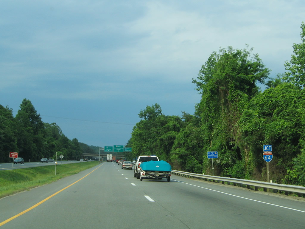
| A three quarter cloverleaf interchange joins U.S. 29 (Monacan Trail Road) with Interstate 64 (Exit 118) on the outskirts of Charlottesville. 05/30/05 |
|
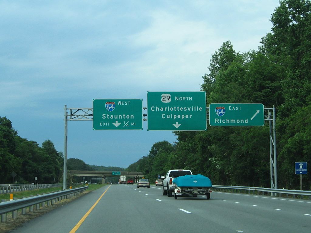
| Interstate 64 straddles southern reaches of Charlottesville en route to Richmond. 05/30/05 |
|
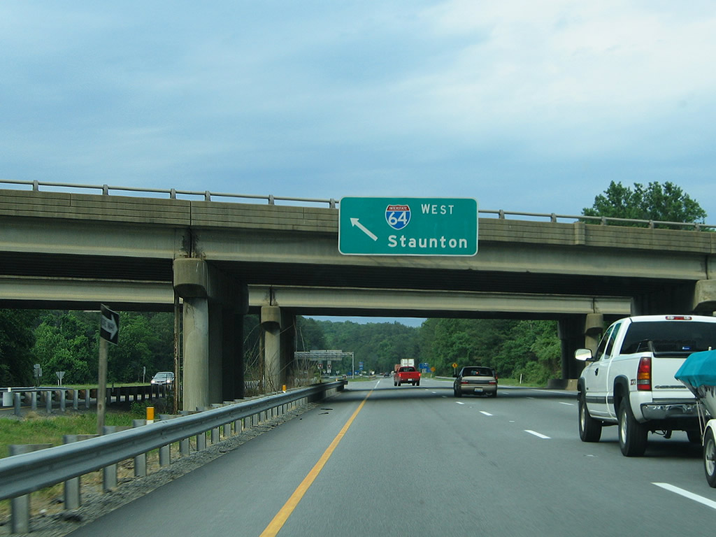
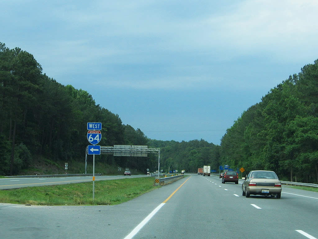
| A left side ramp connects U.S. 29 (Monacan Trail Road) north with Interstate 64 west to Waynesboro and Interstate 81 at Staunton. 05/30/05 |
|
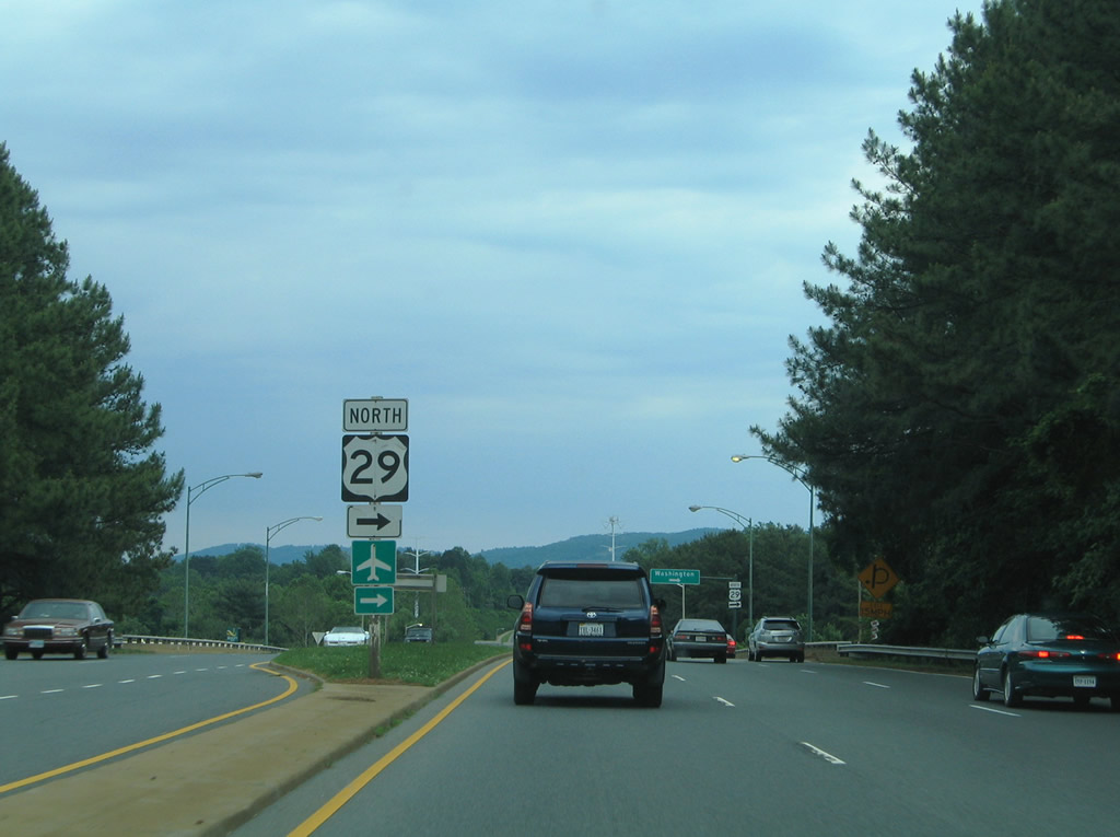
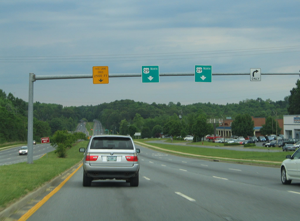
| After passing by the Interstate 64 interchange along northbound U.S. 29, the highway becomes a limited access freeway, bypassing the independent city of Charlottesville to the west. U.S. 29 Business begins at the forthcoming diamond interchange near Buckingham Circle. 05/30/05 |
|
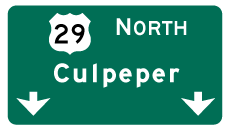
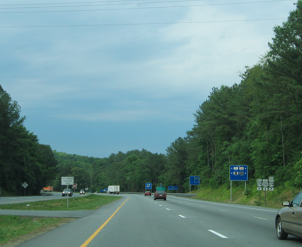
| Through travelers to Culpeper and Washington, DC are directed to remain along U.S. 29 north. U.S. 29 Business follows Fontaine Avenue east to Jefferson Park Avenue, the University of Virginia and Scott Stadium. 05/30/05 |
|
| U.S. 29 Business begins and departs U.S. 29 north. SR 702 west (Fontaine Avenue Extension) stems west to Buckingham Circle. Note the lack of Interstate-standard signage on this freeway facility. 05/30/05 |
|
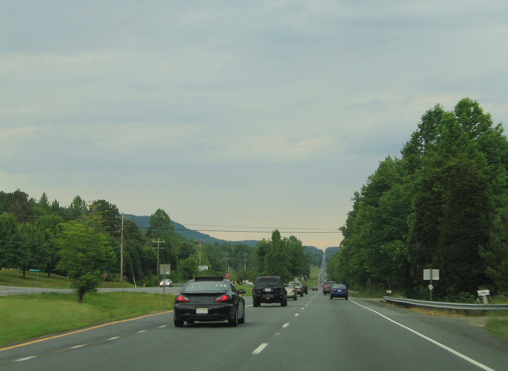
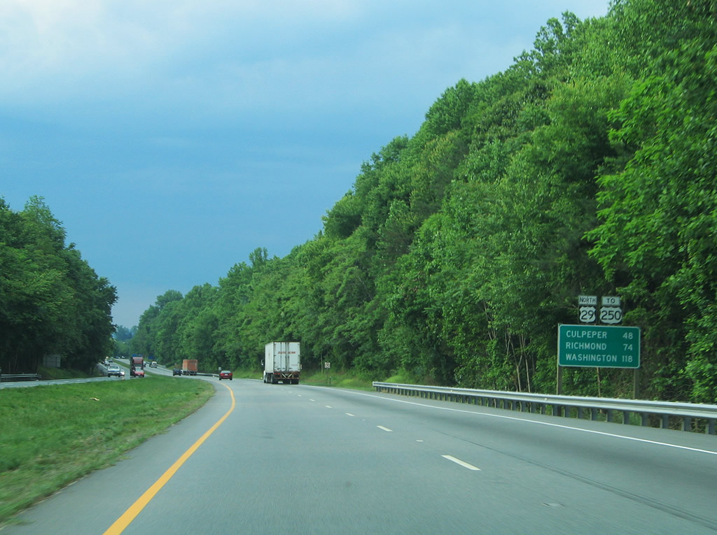
| After the business loop splits from mainline U.S. 29, this distance sign provides the distance to the cities of Culpeper (48 miles), Richmond (74 miles), and Washington (118 miles). The next interchange is with U.S. 250/Ivy Street. 05/30/05 |
|
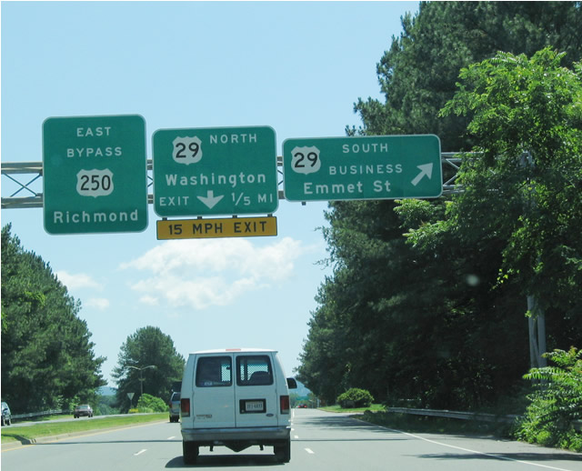
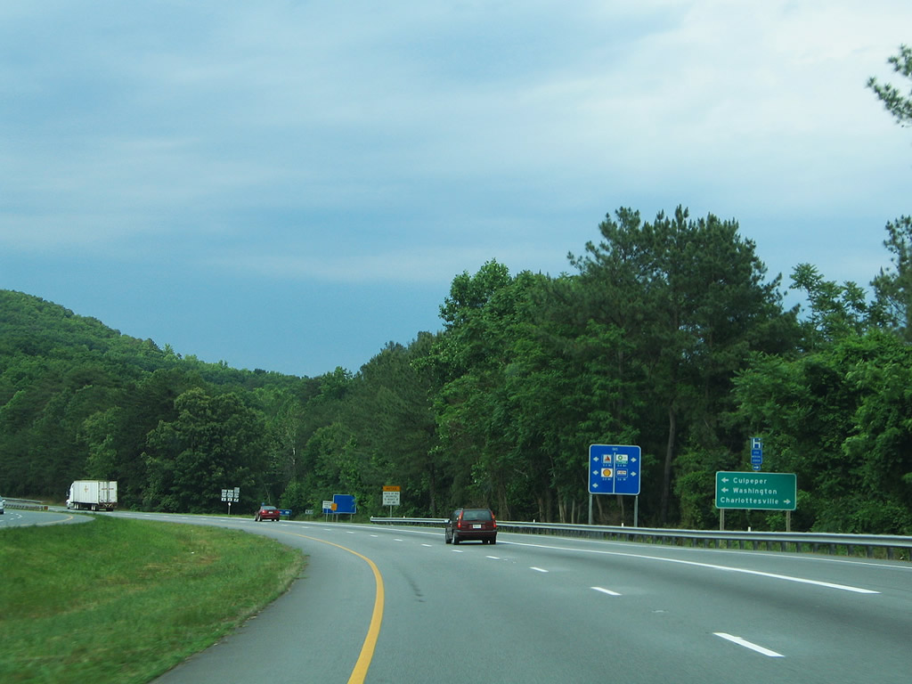
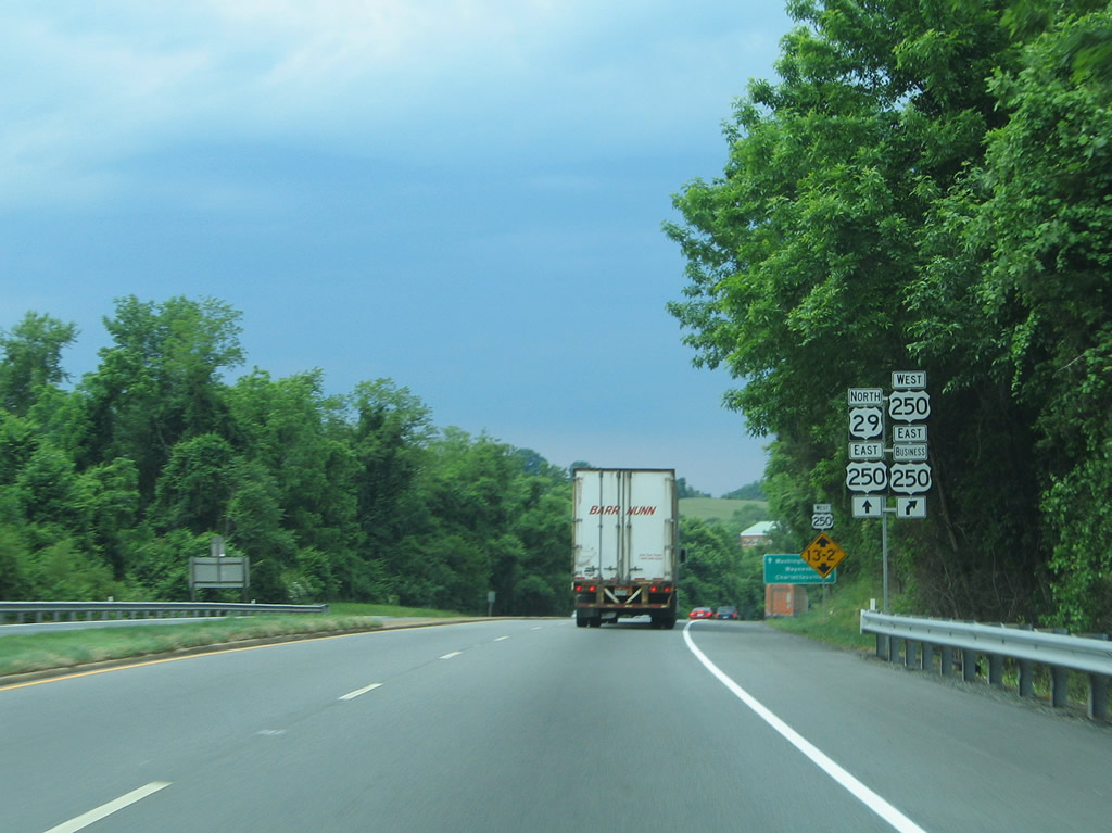
| U.S. 250, which passes through Charlottesville en route to Richmond to the east and Staunton to the west, intersects U.S. 29 at the next interchange. Like U.S. 29, U.S. 250 also separates into bypass and business routes, with eastbound U.S. 250 merging onto the U.S. 29 bypass, while a business route follows the original alignment along Ivy Street toward the university and downtown. 05/30/05 |
|
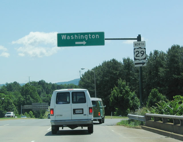
| Northbound U.S. 29 reaches the exit ramp for U.S. 250 west to Skyline Drive, Waynesboro, Staunton, and West Virginia. The ramp also connects to Business U.S. 250 east into Charlottesville. 05/30/05 |
|
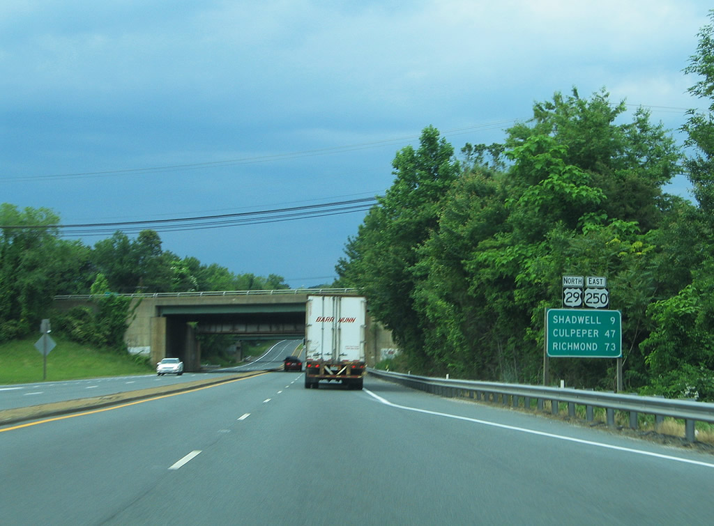
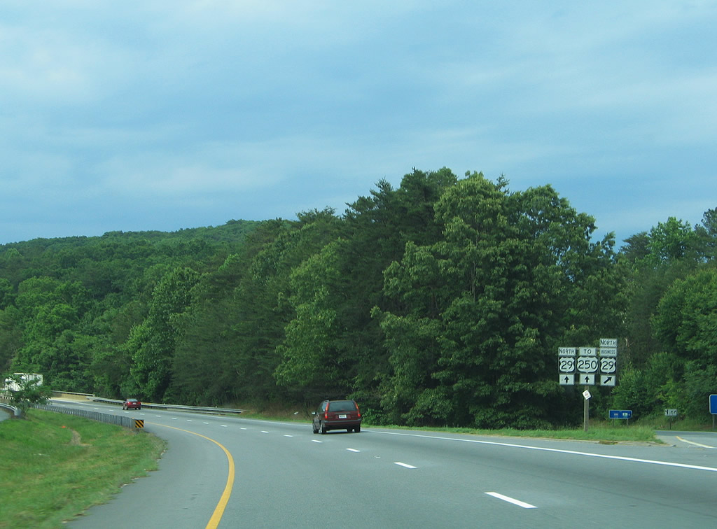
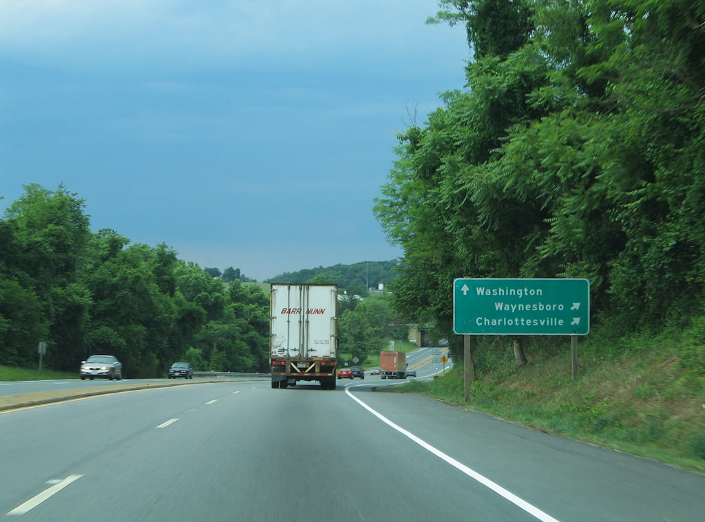
| U.S. 250 overlaps with U.S. 29 (Monacan Trail) for 2.37 miles around the north side of Charlottesville. Beyond their concurrency, U.S. 250 continues to Shadwell while U.S. 29 ventures north to Culpeper. 05/30/05 |
|
| Opened in January 2006, RIRO ramps connect U.S. 29/250 north with Leonard Sandridge Road south to the University of Virginia. The North Grounds Connector was renamed for the executive vice president and chief operating officer of the University on September 30, 2006.1 05/30/05 |
|
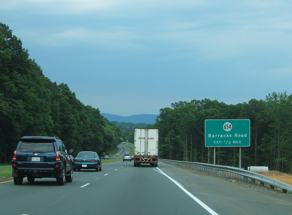
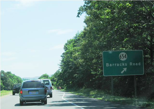
| SR 654 (Barracks Road) heads 1.94 miles northwest from U.S. 29/250 to SR 601 (Garth Road) west to White Hall. Barracks Road continues 0.87 miles south to U.S. 29 Business (Emmet Street) at Barracks Road Shopping Center. 06/02/04 |
|
| U.S. 29/250 advance east from SR 654 (Barracks Road) to a cloverleaf interchange with the north end of U.S. 29 Business (Emmet Street). 06/02/04 |
|
| Beyond U.S. 29 (Emmett Street), U.S. 250 continues along an expressway to the north of Downtown Charlottesville. 05/30/05 |
|
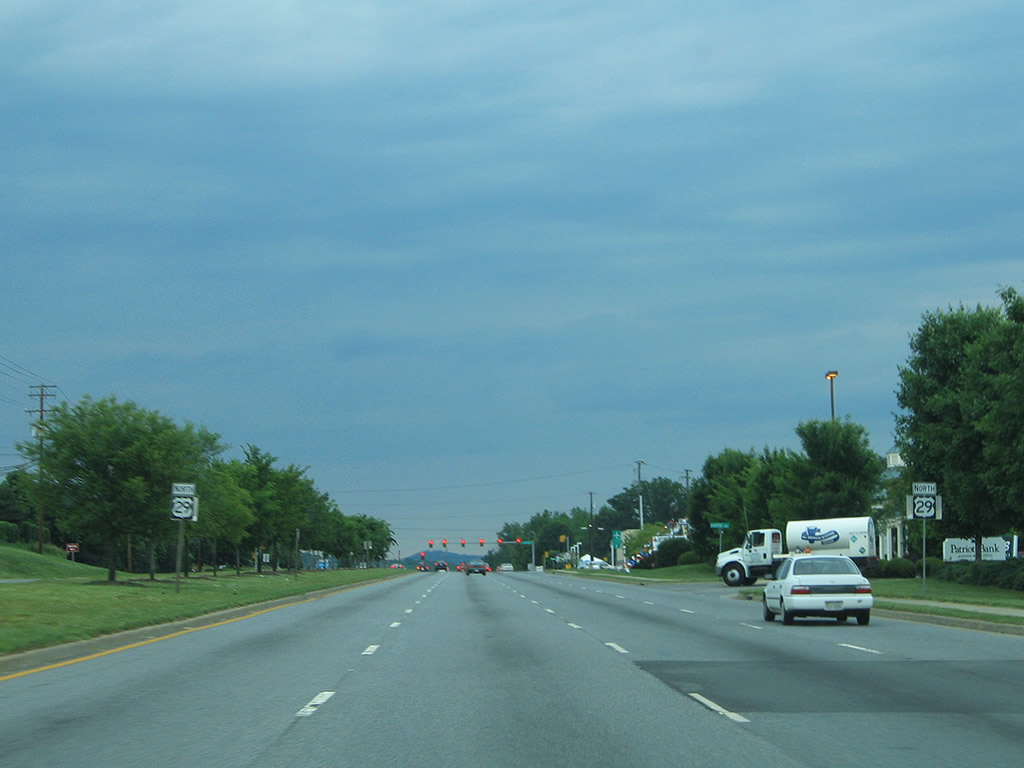
| U.S. 29 follows a loop ramp onto a heavily commercialized stretch of Emmett Street north. U.S. 29 eventually reaches Washington, but well after Madison, Culpeper and Warrenton. 06/02/04 |
|
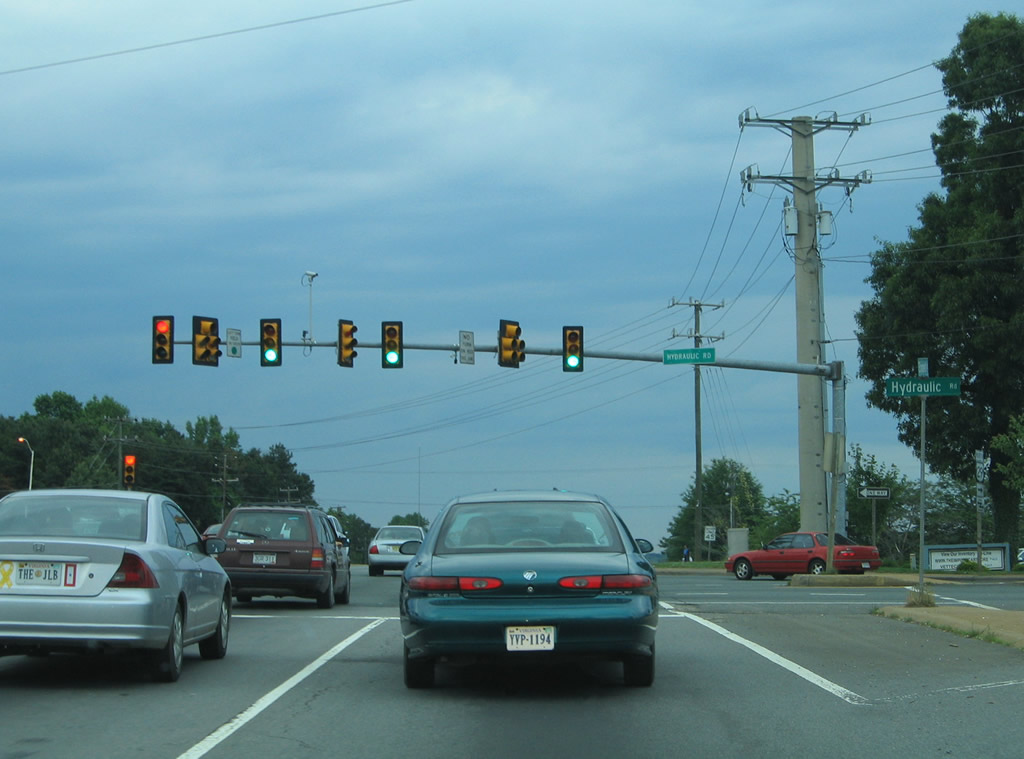
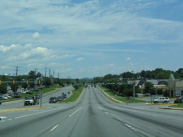
| North of the U.S. 250 expressway, U.S. 29 enters a long commercial strip that features a wide variety of stores, restaurants, gas stations, fast food, big box stores/outlets, and other services. With over 15 traffic signals between the expressway and the northern urban limits, U.S. 29 advances with no fewer than four lanes in each direction, and additional lanes for turning traffic. The lights are somewhat synchronized to allow for smoother traffic flow.
Pictured here is the signal at SR 743 (Hydraulic Road), an arterial leading northward from Brandywine Drive near U.S. 250 to SR 631 (West Rio Road). 05/30/05 |
|
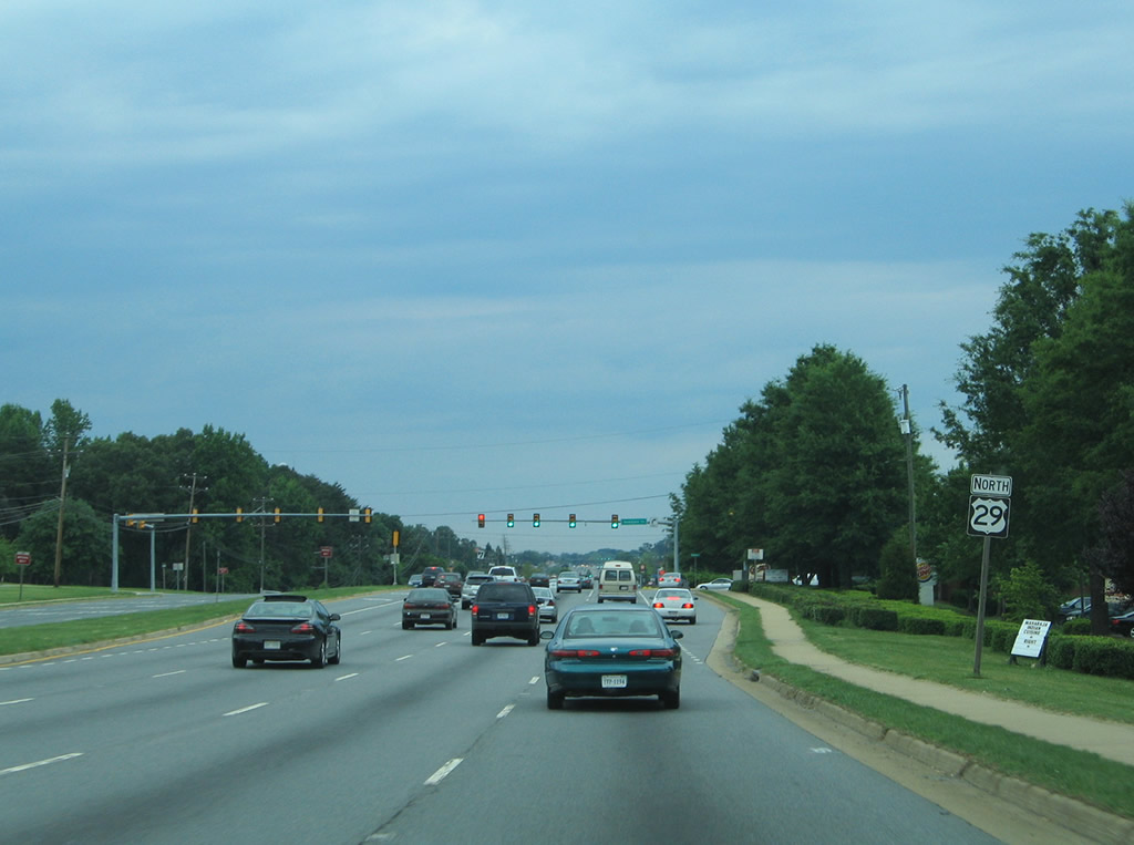
| Northbound reassurance shield posted along U.S. 29 near the intersection with Seminole Court. Seminole Court serves Seminole Square Shopping Center to the east. 05/30/05 |
|
| Greenbrier Drive doubles as SR 866 east to Hillsdale Drive and the Wakefield community. Westward the arterial serves Berkeley with connections to SR 743 (Hydraulic Road). 05/30/05 |
|
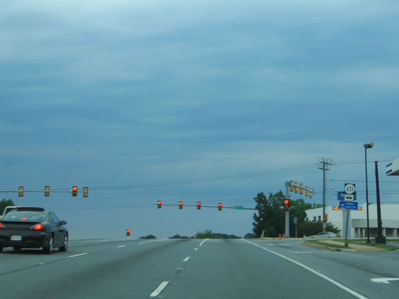
| SR 631 (Rio Road) crosses paths with U.S. 29 (Seminole Trail) adjacent to Charlottesville Fashion Square Mall and other retail. Rio Road arcs west to SR 743 and Berkeley and southeast to Rio and the Park Street interchange with U.S. 250. 05/30/05 |
|
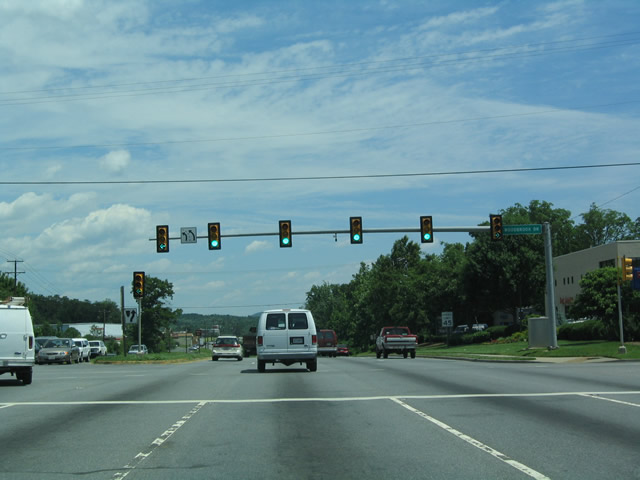
| Another traffic light located along U.S. 29 (Seminole Trail) at the entrance to Albemarle Square. 06/02/04 |
|
| A pair of U.S. 29 shields posted along Seminole Trail north ahead of Gardens Boulevard. Gardens Boulevard provides additional retail access points from the eight lane arterial. 05/30/05 |
|
| Woodbrook Road connects U.S. 29 (Seminole Trail) with the Woodbrook community to the east and additional big box retail to the west. 06/02/04 |
|
| U.S. 29 (Seminole Trail) sheds two northbound lanes by the time it reaches SR 643 (Polo Grounds Road) across the South Forth Rivanna River. The sprawl however, is not yet over, as stretch leading north to Hollymead conceals more development to the north. 06/02/04 |
|
| Hollymead Drive loops east from U.S. 29 (Seminole Trail) to the Hollymead suburban community. The span-wired based traffic lights here were replaced with conventional mast-arm assemblies. 05/30/05 |
|
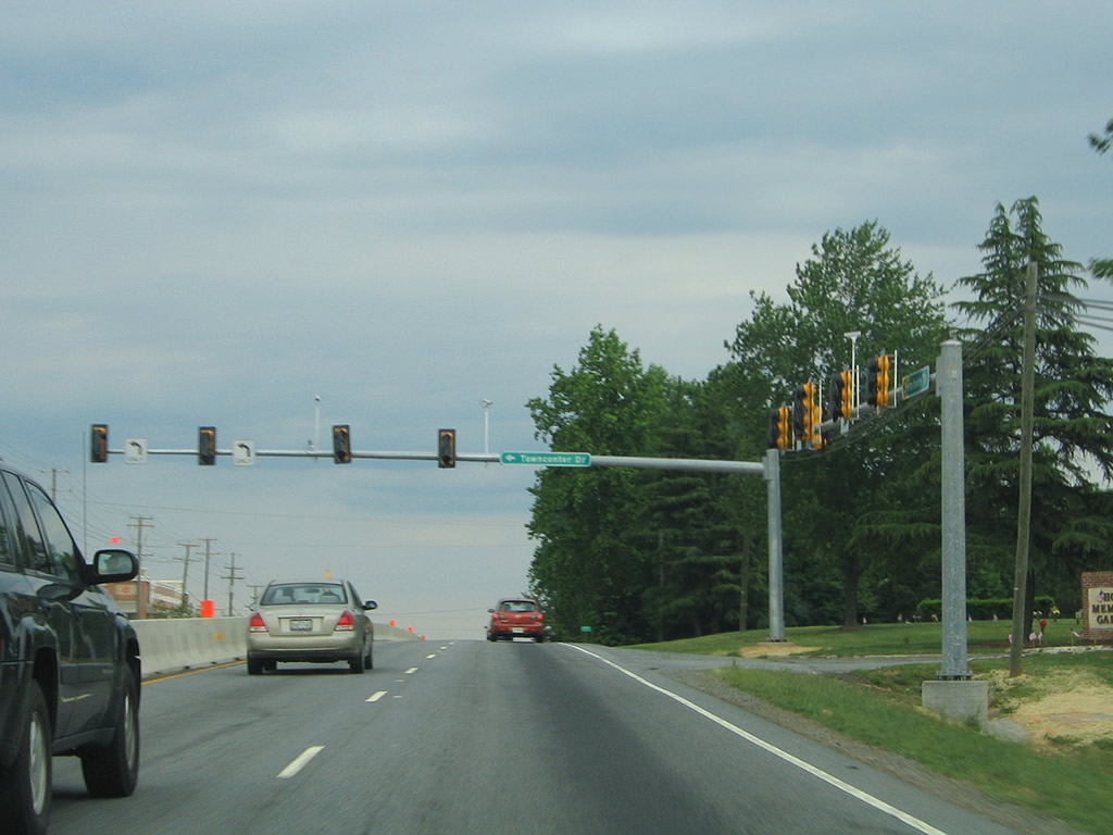
| Towncenter Drive, shown here incomplete, provides one of several entrances to the sprawling Hollymead Town Center retail complex along U.S. 29 (Seminole Trail). The arterial is now six lanes wide here as well. 05/30/05 |
|
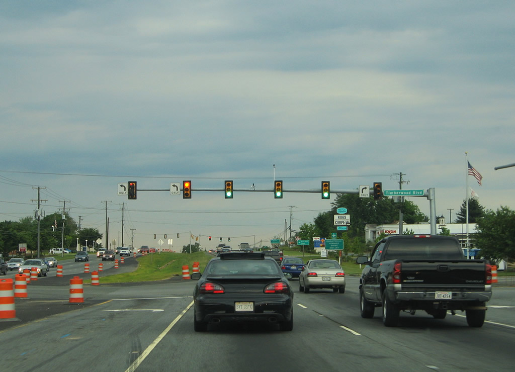
| Timberland Boulevard provides another access point to Hollymead Town Center from U.S. 29 at the next traffic light. 05/30/05 |
|
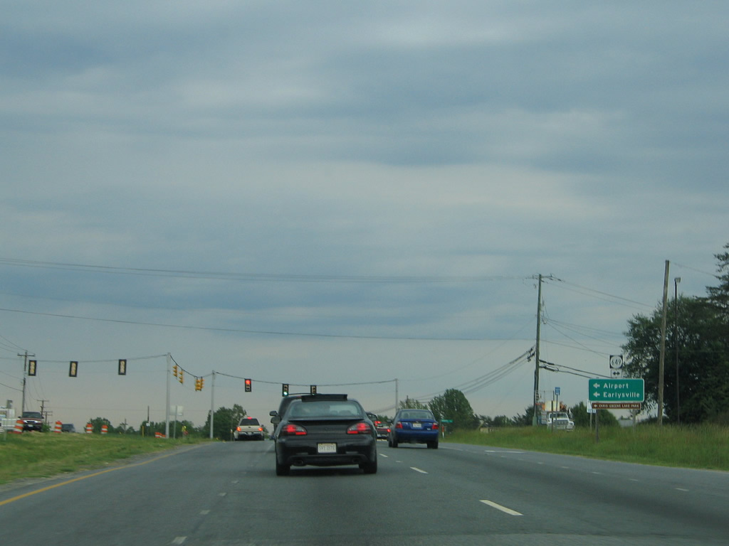
| SR 649 (Airport Road west / Proffit Road east) represents the current northward extent of the Charlottesville suburban area. SR 649 ventures west to Charlottesville-Albemarle Airport and SR 606 (Dickerson Road) to Rivanna and Earlysville (via SR 743). 05/30/05 |
|
| A long straight away carries U.S. 29 drivers across the North Fork Rivanna River toward Piney Mountain. The distant traffic light is with Boulders Road east. 05/30/05 |
|
| Shortly thereafter, U.S. 29 departs Albemarle County and enters Greene County. 06/02/04 |
Page Updated 03-24-2010.

 North
North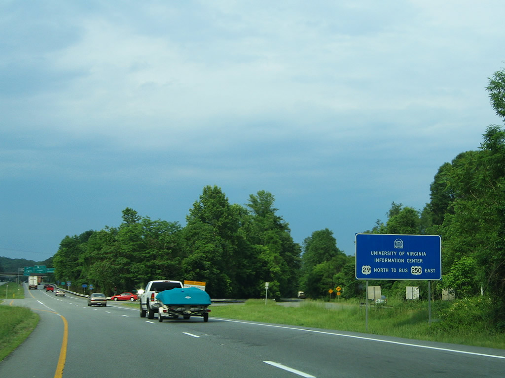


 East
East