
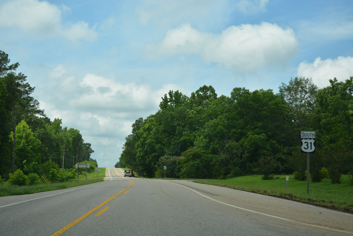
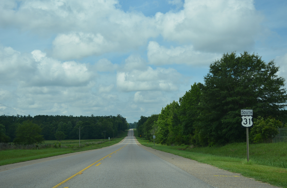
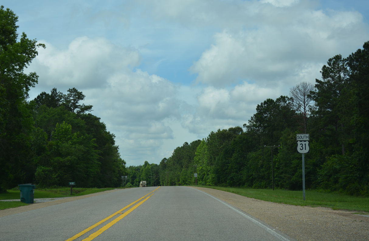
 South
South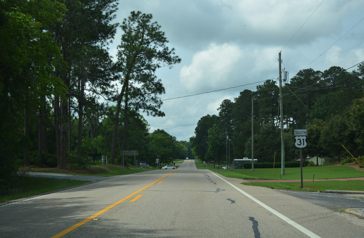
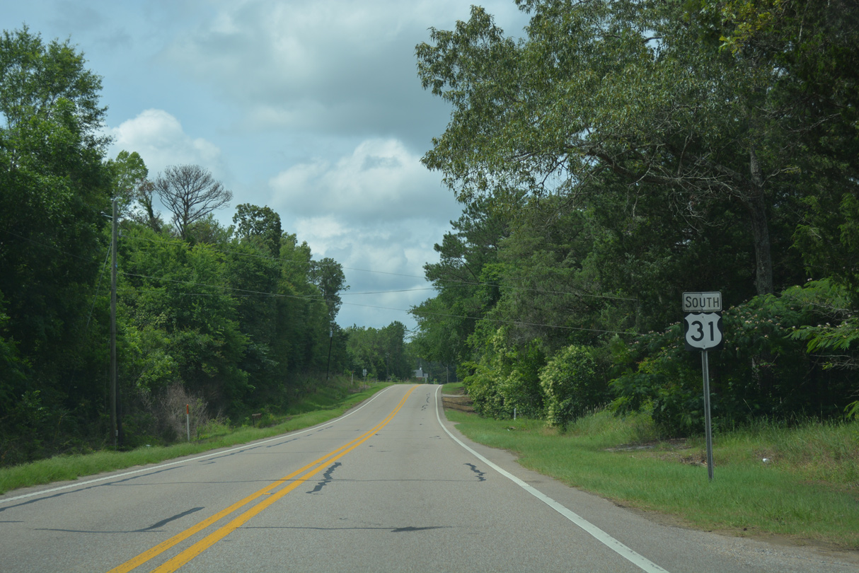
Confirming marker posted south of Montgomery County Route 19 (Pettus Road).
06/07/17
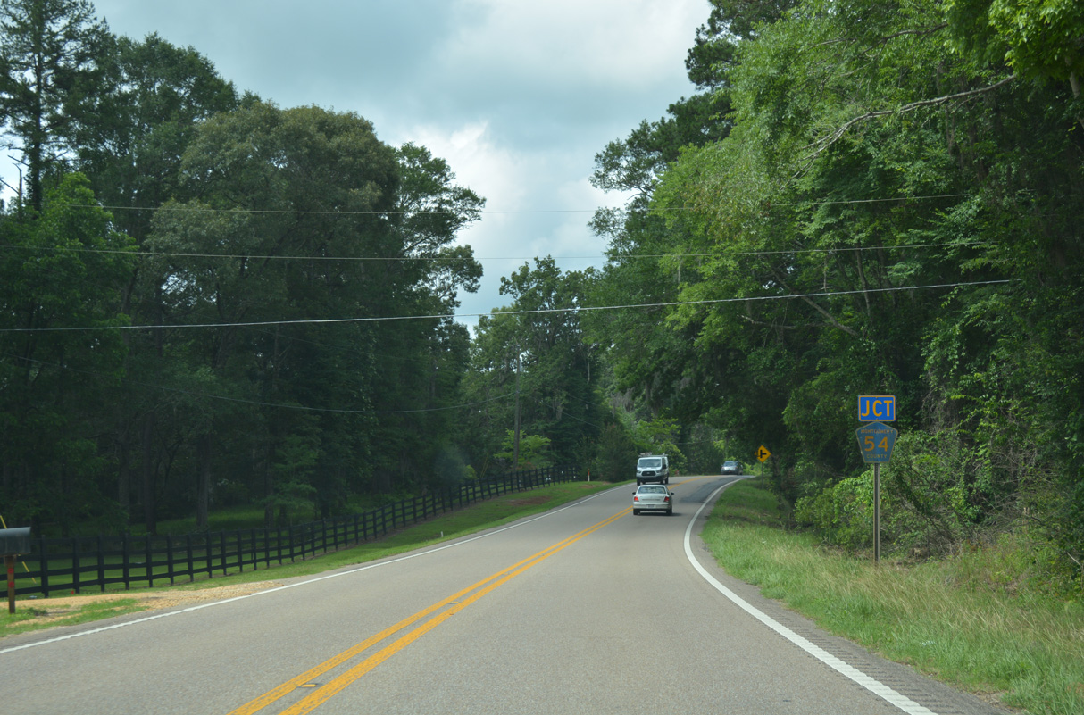
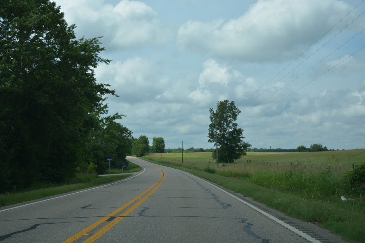
CR 54 (Tabernacle Road) stems west to CR 53 (Plantation Road).
06/07/17
06/07/17
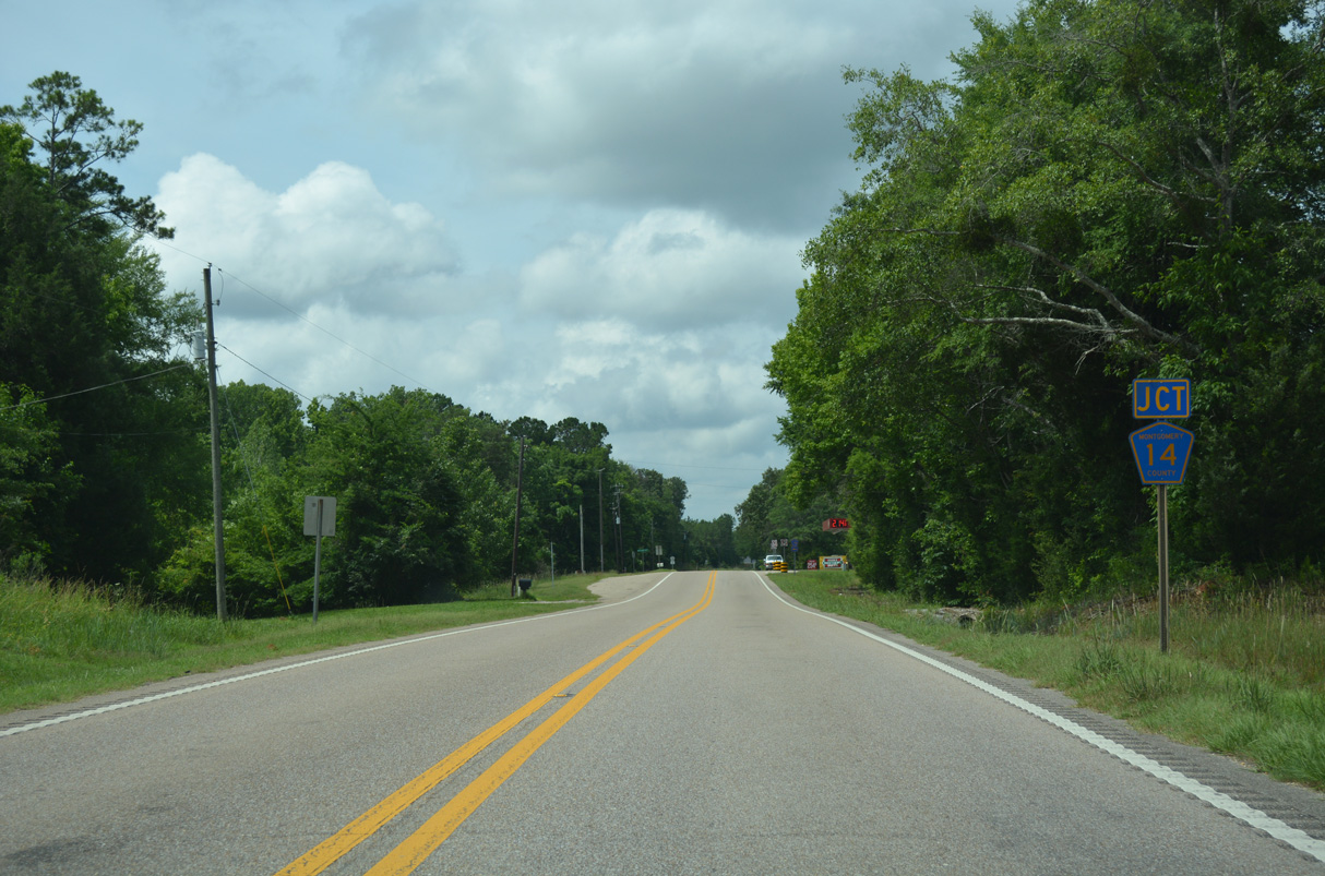
U.S. 31 meets Montgomery County Route 14 (Union Academy Ada Road) east at the settlement of Zion.
06/07/17
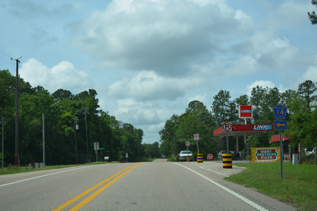
CR 14 runs 8.1 miles east to Fleta and U.S. 331/SR 94 at Ada.
06/07/17
06/07/17
U.S. 31 straddles the Lowndes / Montgomery County line south from Tahoma Drive to Davenport.
06/07/17
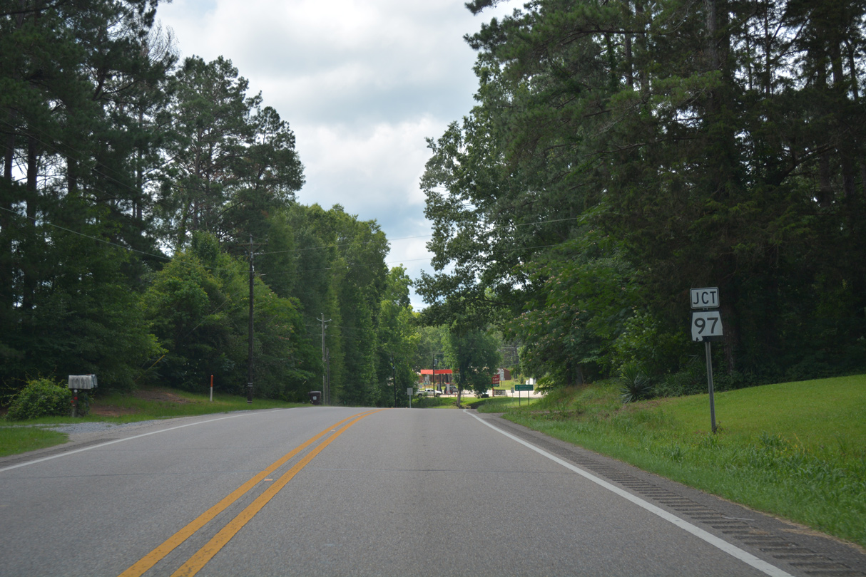
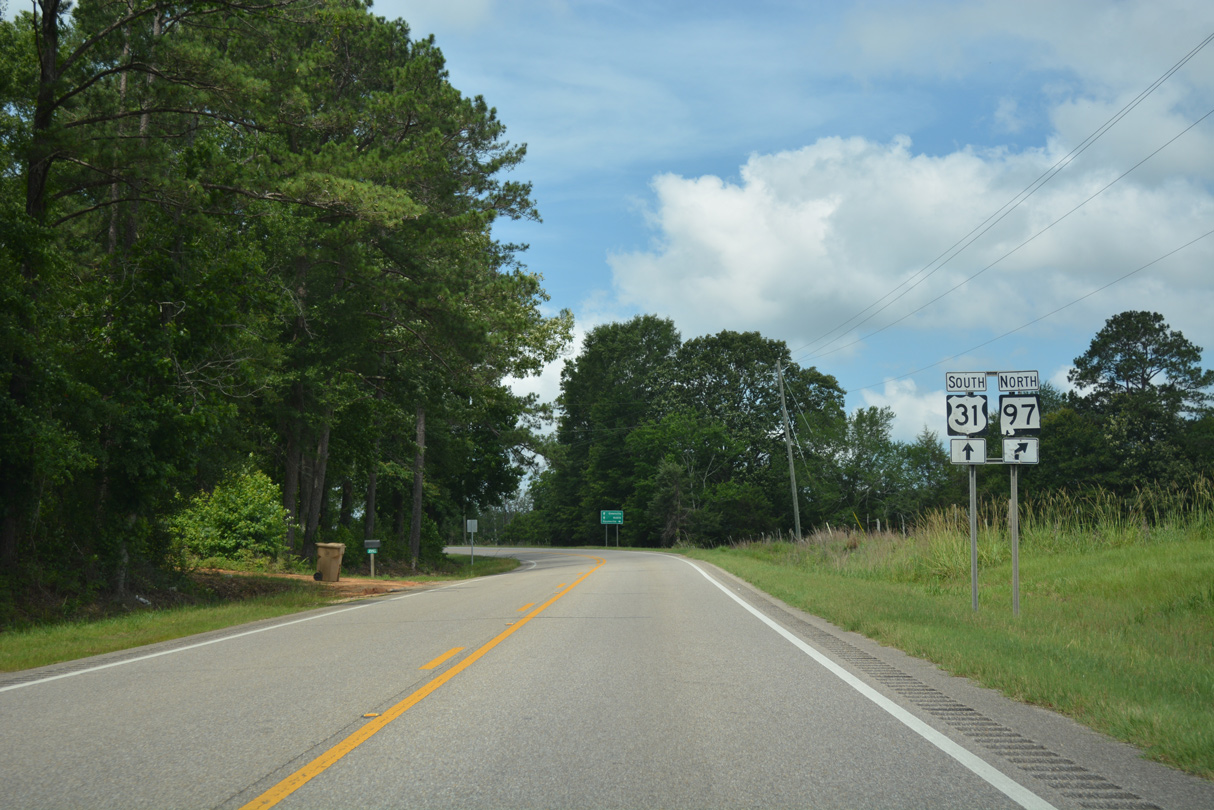
SR 97 north comes together with U.S. 31 south at CR 12 (Hickory Grove Road) west in Davenport.
06/07/17
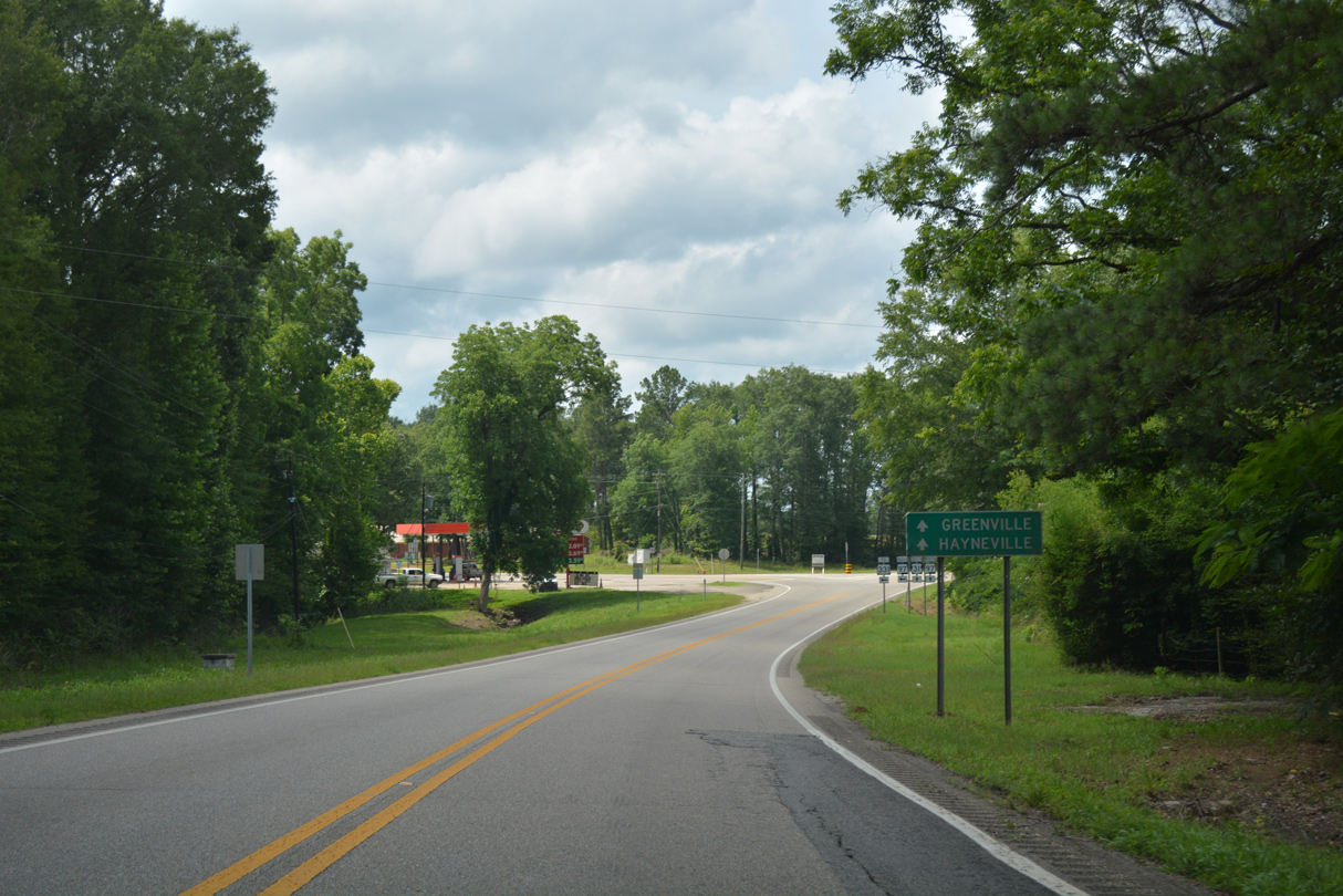
SR 97 north combines with U.S. 31 south for 1.56 miles west from Davenport before resuming a northward course to SR 21 at Hayneville.
06/07/17
Southeast from Davenport, SR 97 travels 9.03 miles to Clearview and U.S. 331 north of Highland Home in Crenshaw County.
06/07/17
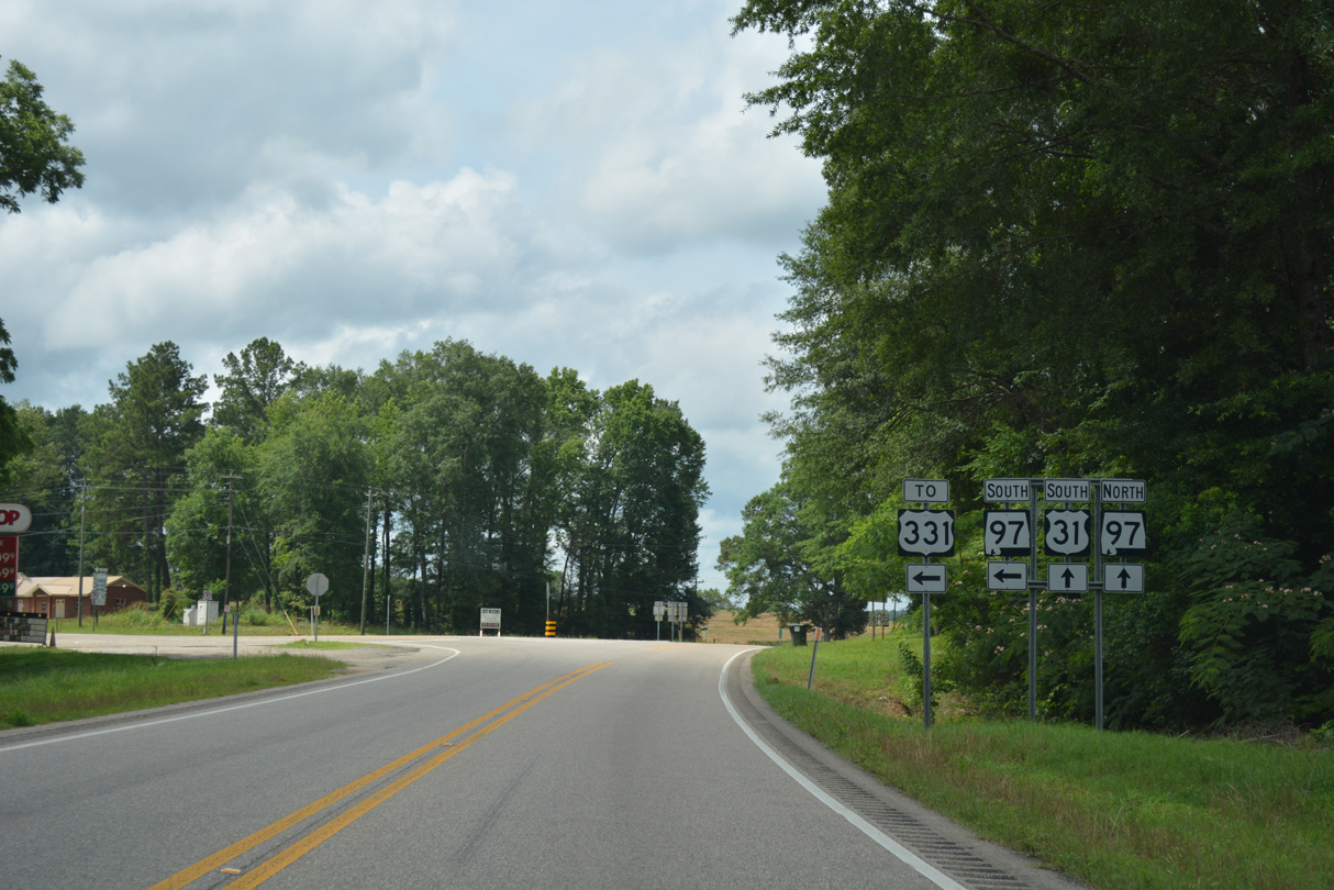
South  North
North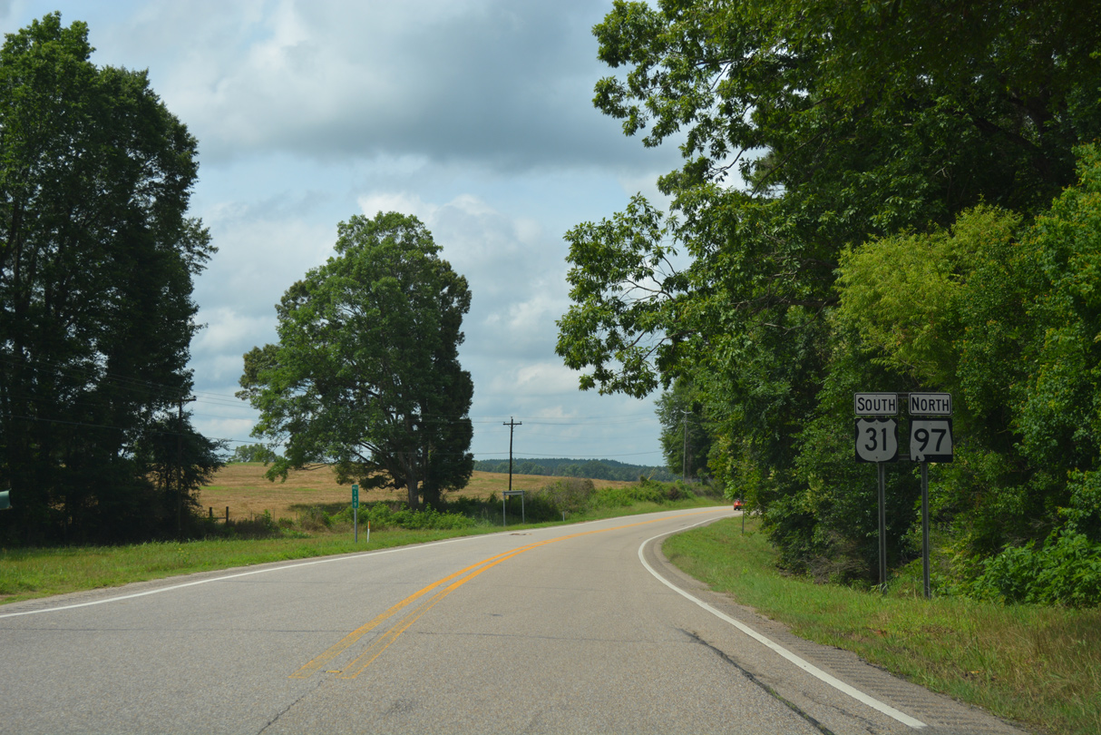
U.S. 31/SR 97 angle southwest from Davenport into Lowndes County.
06/07/17
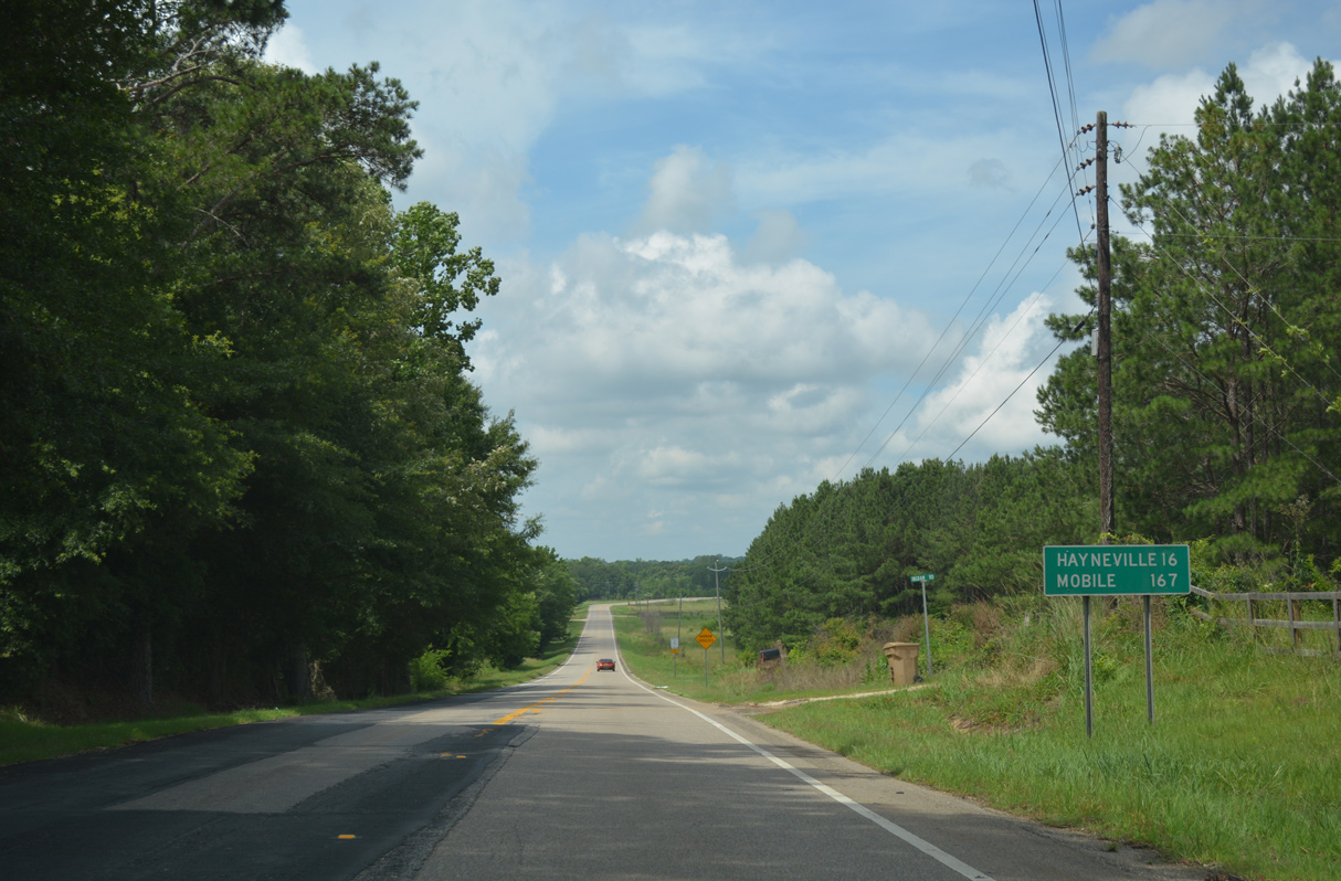
SR 97 branches northwest from U.S. 31, 13.21 miles to SR 21 in the Lowndes County seat of Hayneville.
06/07/17
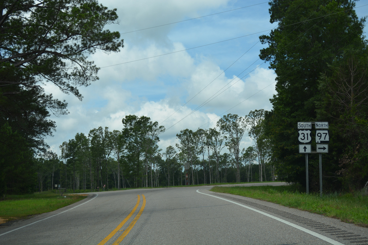
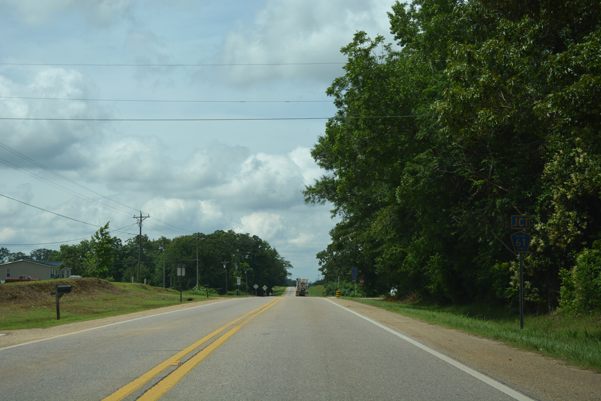
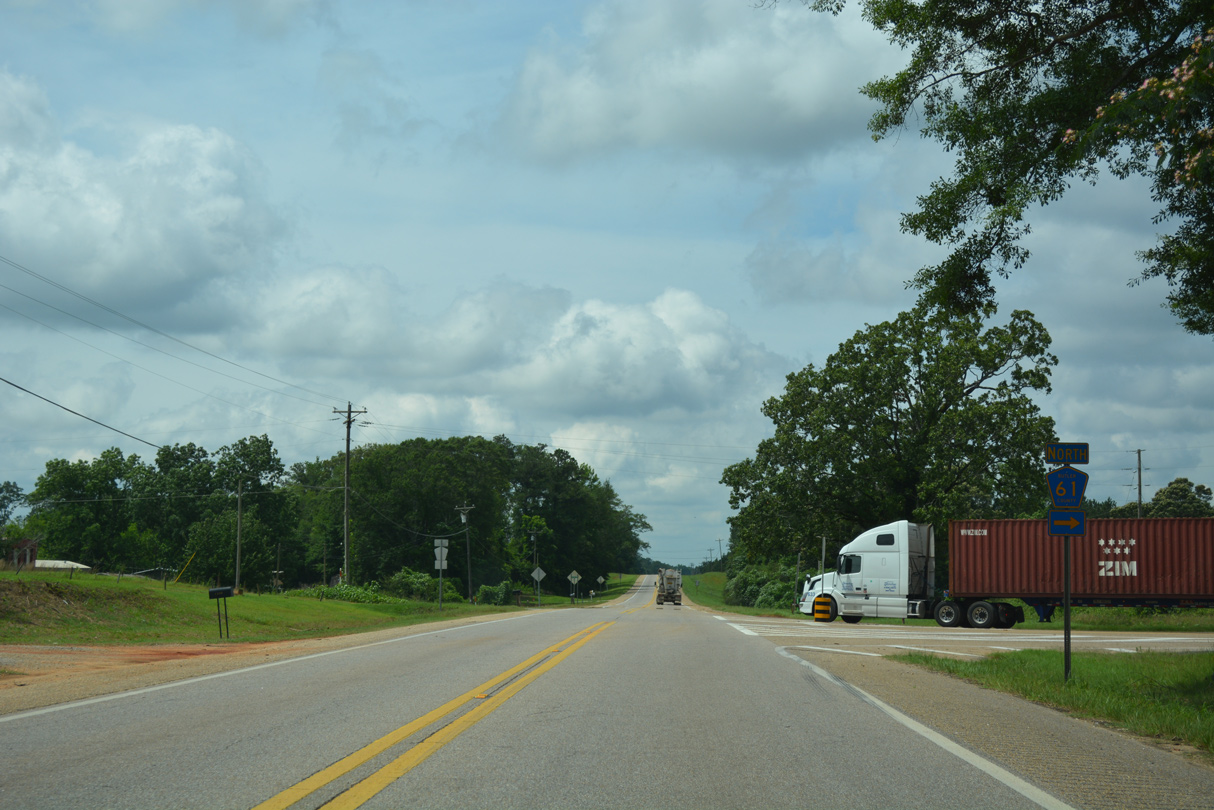
SR 97 north splits with U.S. 31 (Montgomery Highway) south at a rural, two-wye intersection beyond Pinchony Creek.
06/07/17
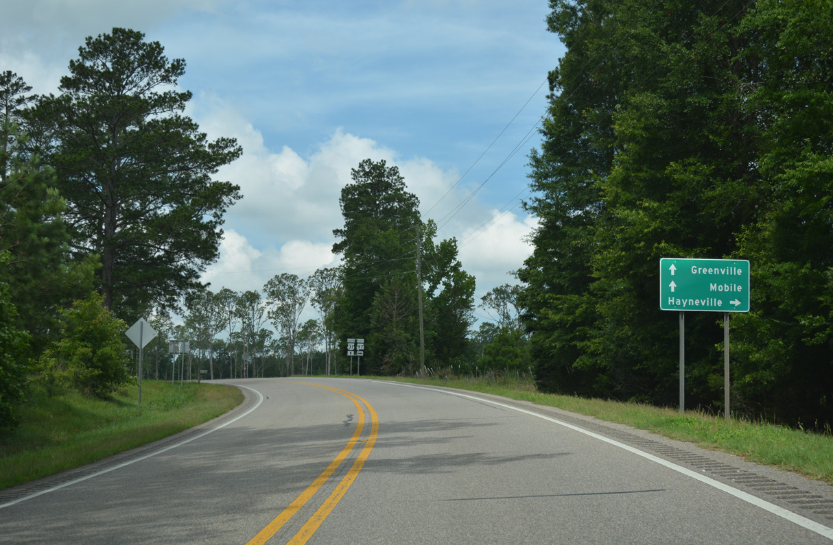
06/07/17
A 20.77 mile long highway, SR 97 extends northwest from Hayneville to U.S. 80.
06/07/17
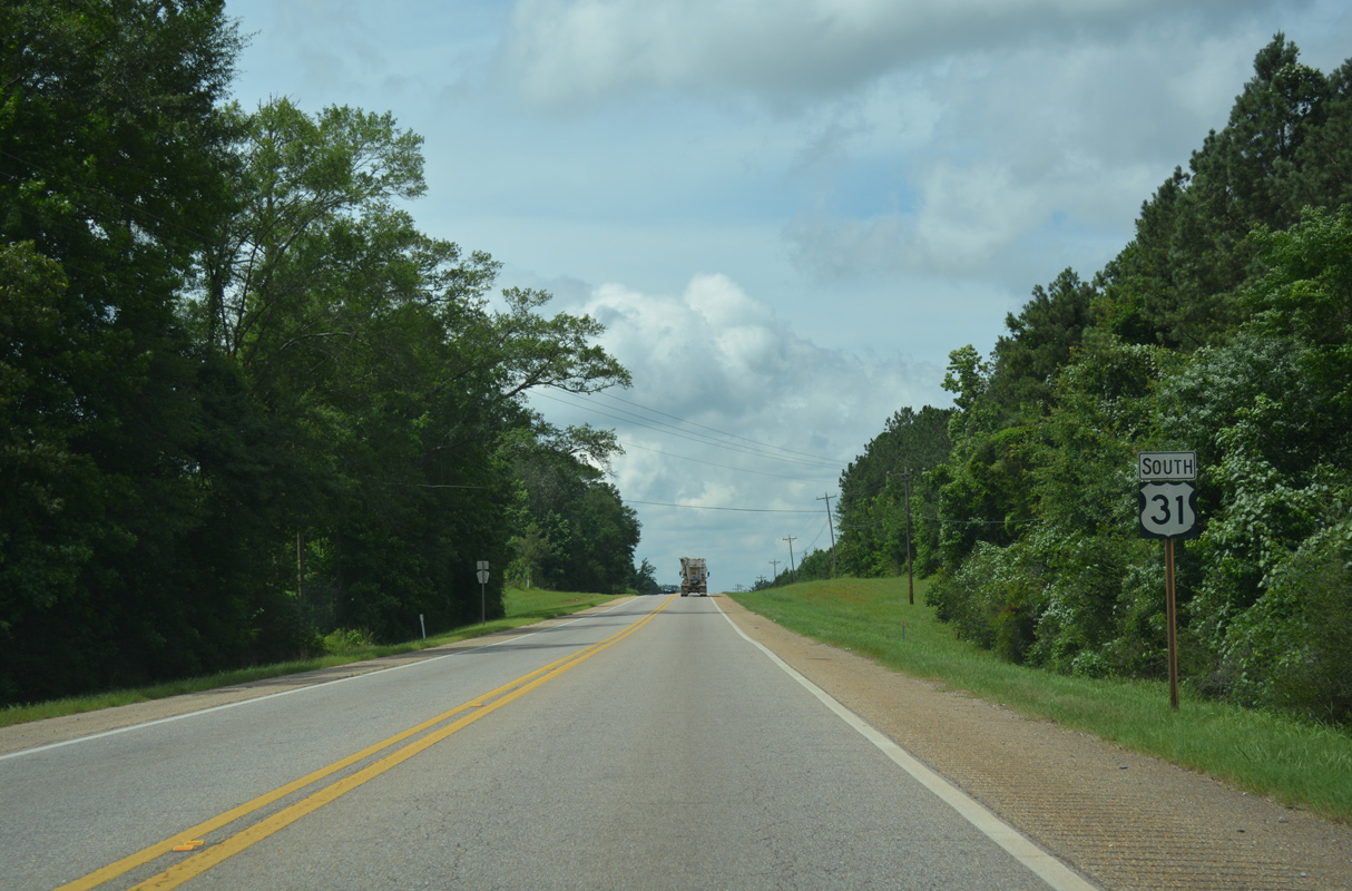
South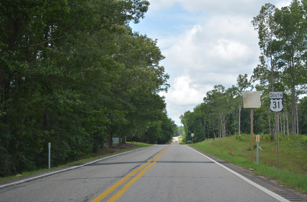
06/07/17
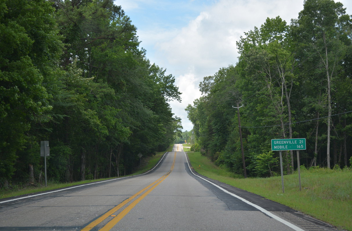
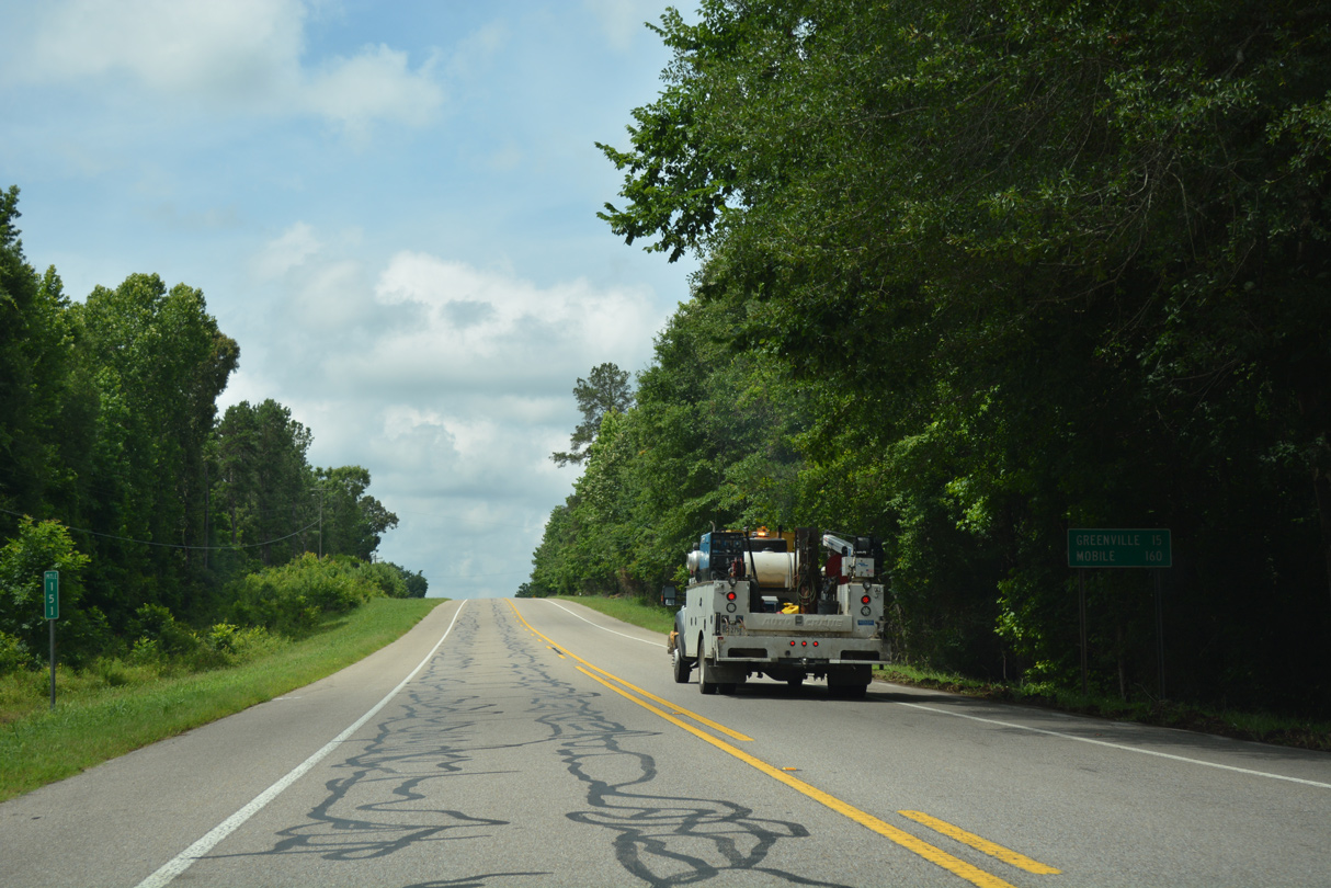
Downtown Greenville lies 20.1 miles southwest from SR 97 via U.S. 31 and SR 10. U.S. 31 never reaches Mobile, having been truncated east to Spanish Fort.
06/07/17
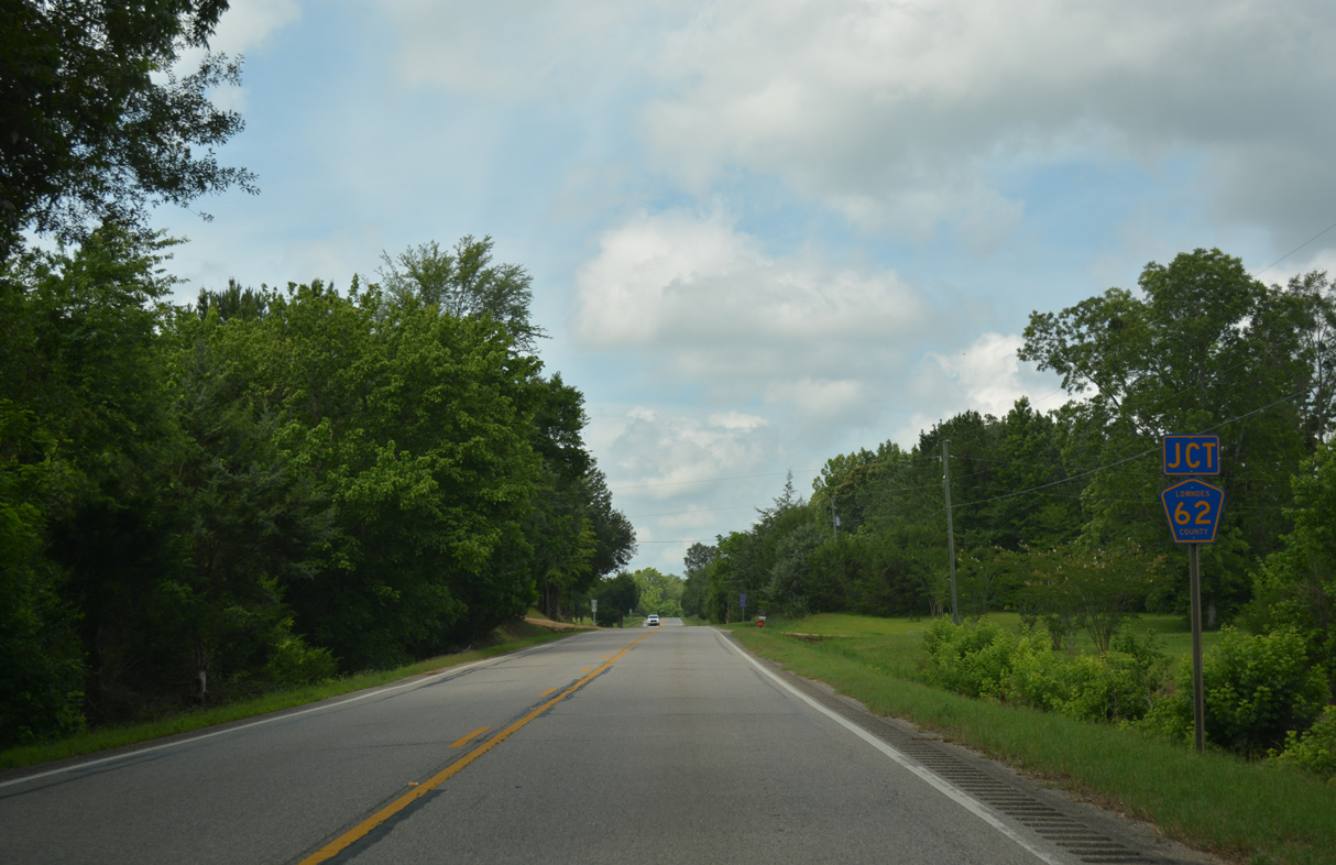
CR 62 branches south from U.S. 31 to CR 4 at Ellis Crossroads.
06/07/17
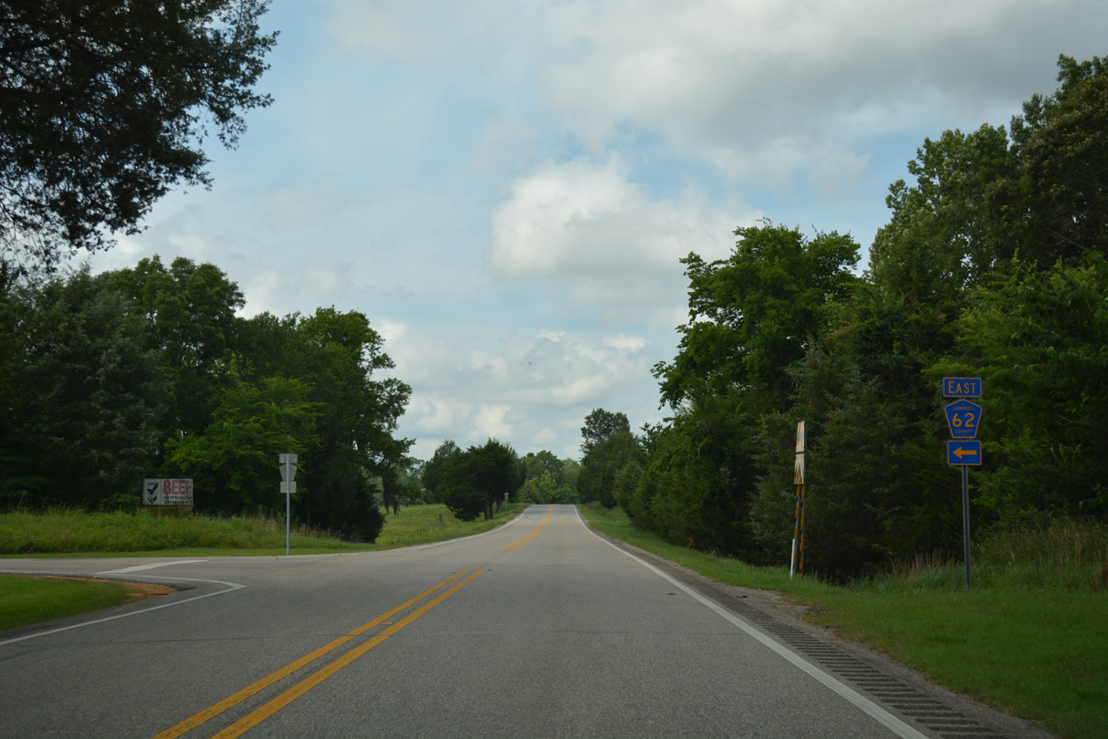
Continuing into northeastern Butler County, CR 62 loops west to Daisy and back to U.S. 31 at Spring Hill.
06/07/17
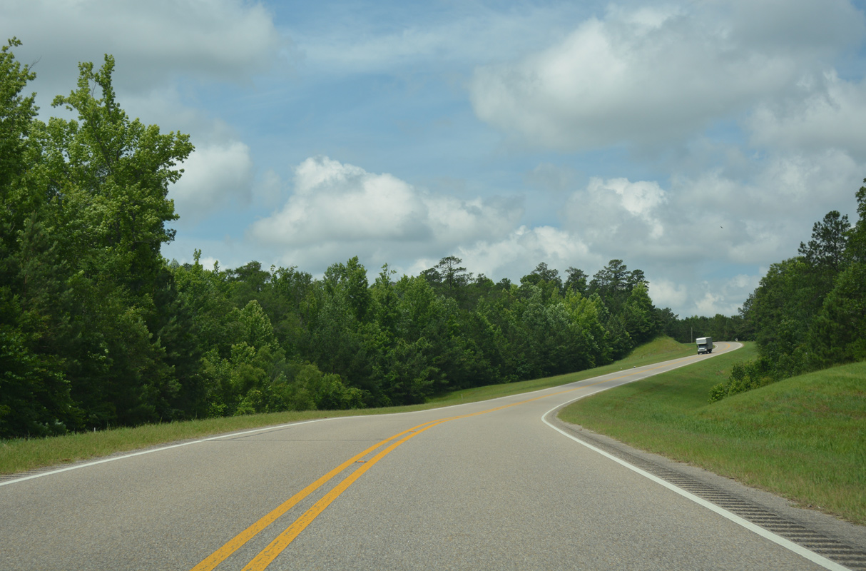
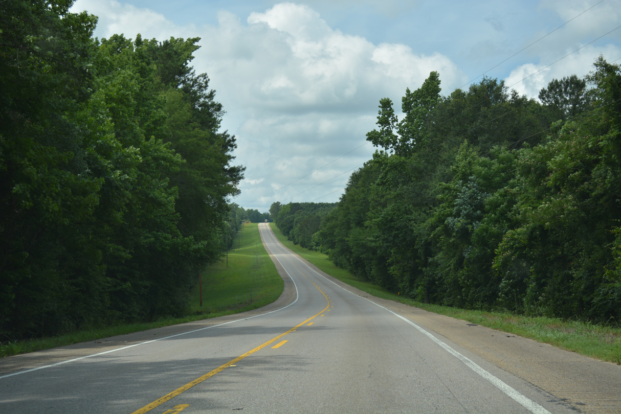
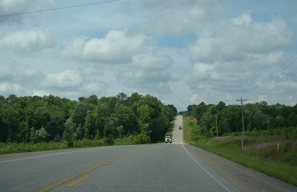
An S-curve takes U.S. 31 past Ryals Lake west of Pinchony Creek.
06/07/17
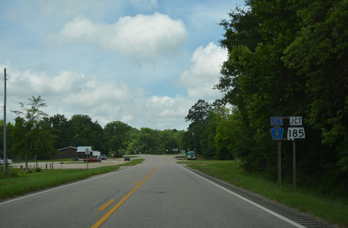
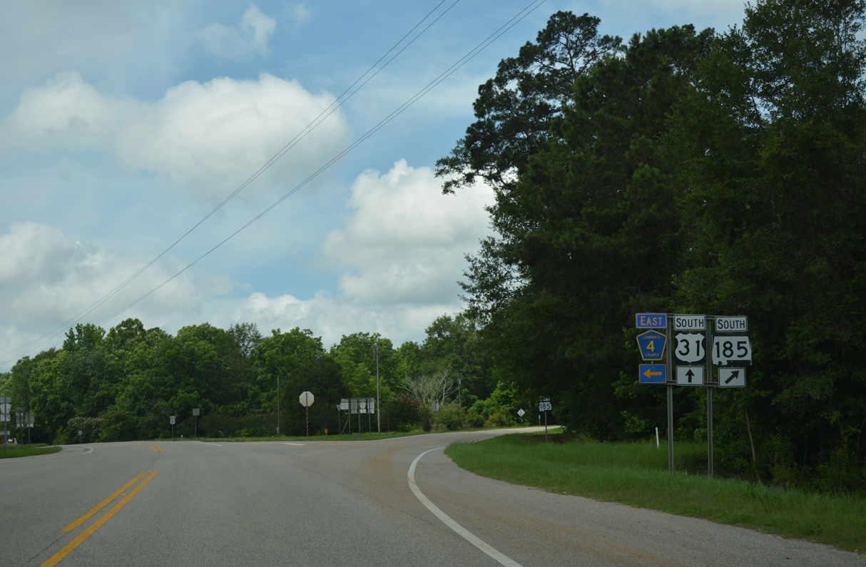
SR 185 north and CR 4 west come together at U.S. 31 in Logan.
06/07/17
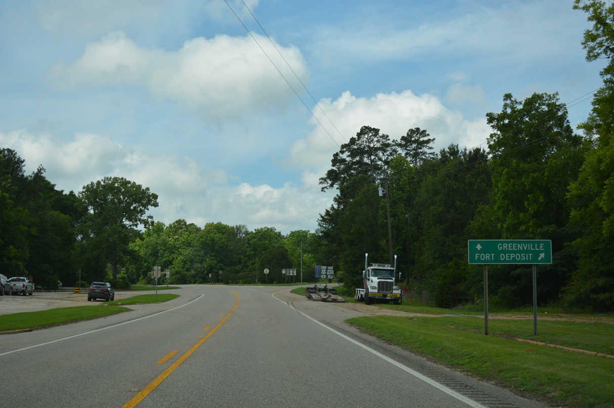
The town of Fort Deposit lies west along SR 185. The state route enters the municipality just ahead of Interstate 65 at Exit 142, 2.43 miles from U.S. 31.
06/07/17
Measuring 23.13 miles overall, SR 185 constitutes a loop west from U.S. 31 to Fort Deposit and south to Fort Dale and Greenville.
06/07/17
06/07/17
06/07/17
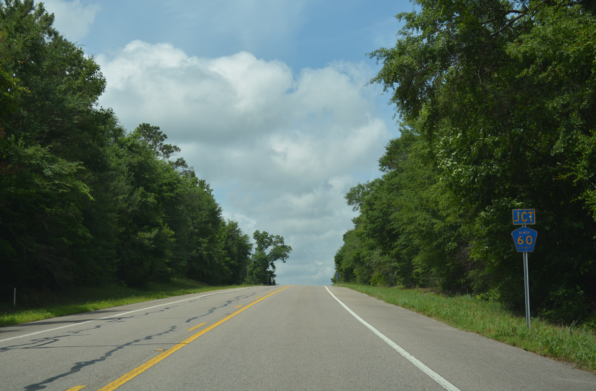
Butler County Route 60 ties into U.S. 31 just inside Lowndes County.
06/07/17
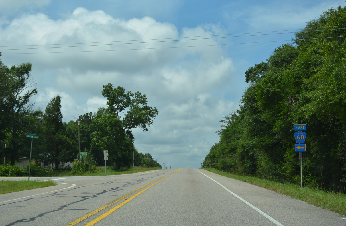
Bethel Church Road (CR 60) leads 3.0 miles east from U.S. 31 to CR 62 (Steiner Store Road).
06/07/17
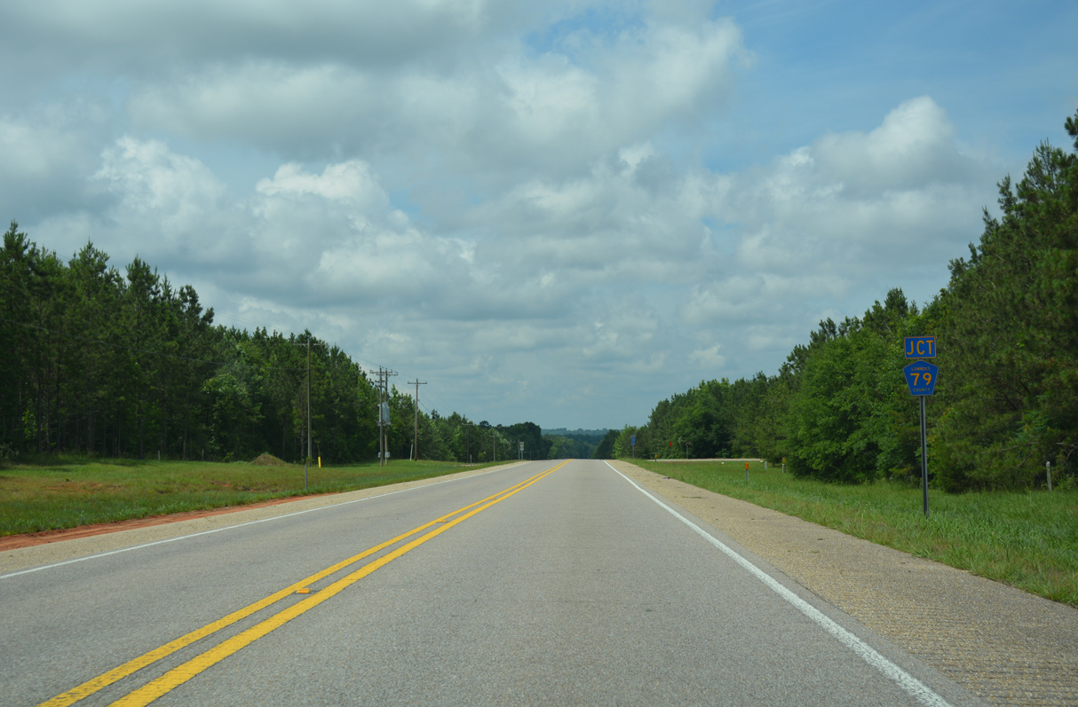
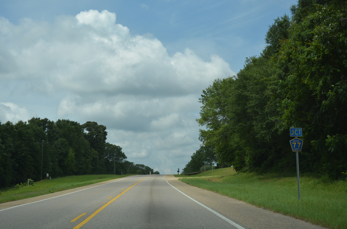
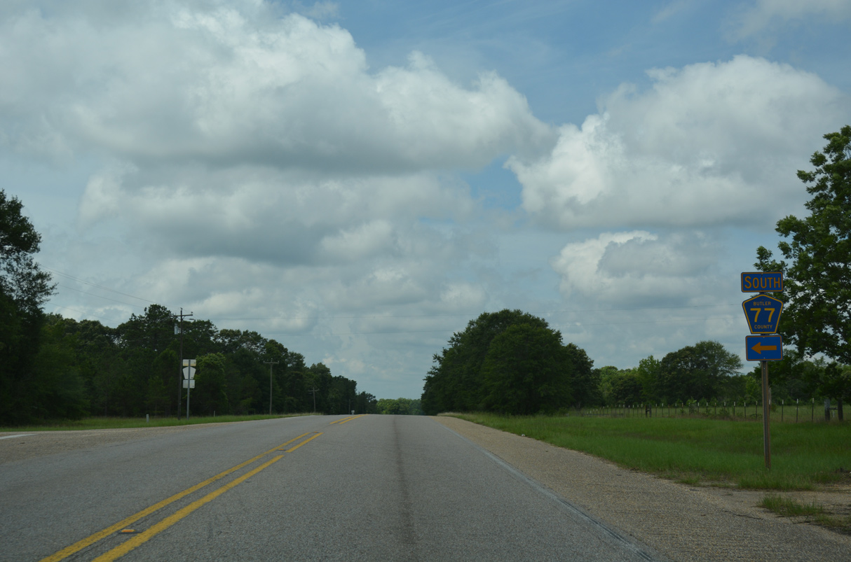
Crossing into Butler County, the succeeding intersection on U.S. 31 south is with Lowndes County Route 79 north.
06/07/17
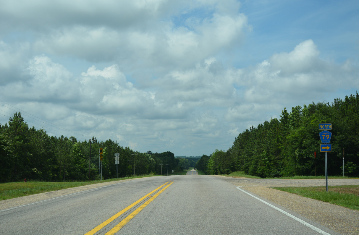
CR 79 provides a cut off from U.S. 31 north 1.7 miles to SR 185 west into Fort Deposit.
06/07/17
06/07/17
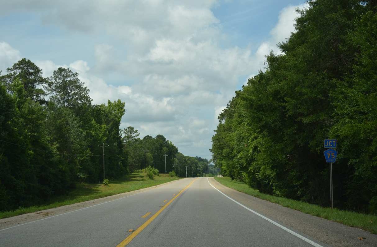
CR 75 on Kirkville Road arcs 4.1 miles southeast to CR 62 (Steiner Store Road) near Daisy.
06/07/17
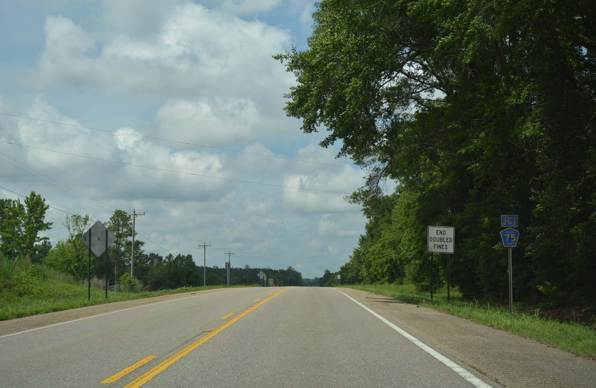
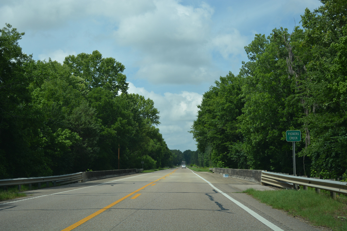
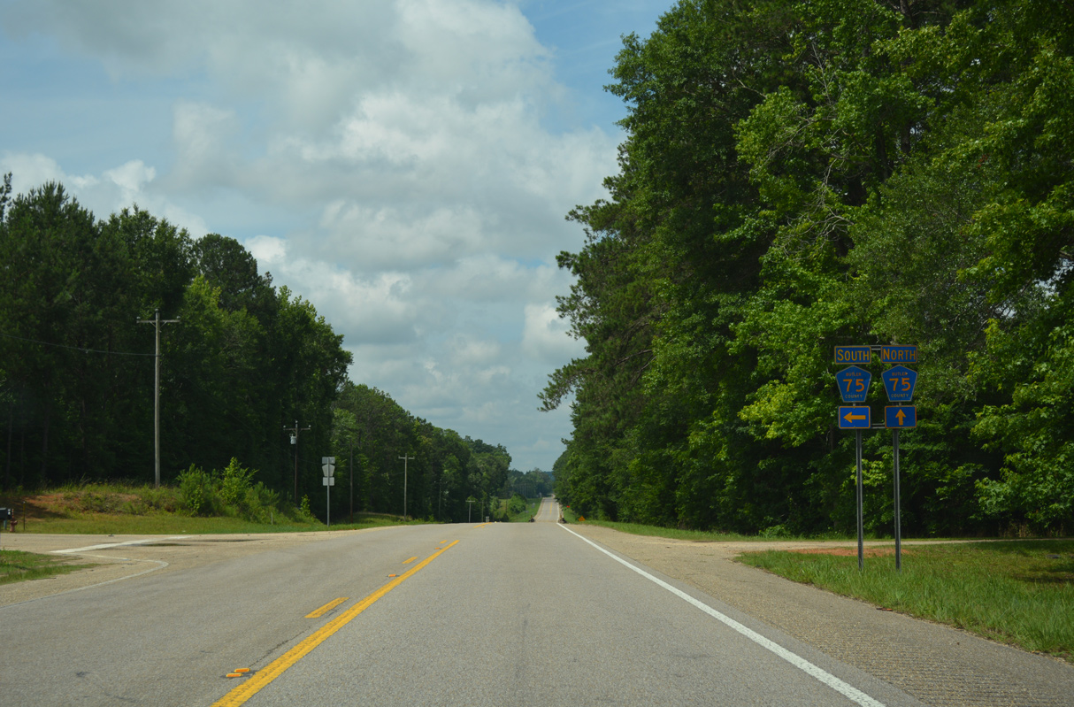
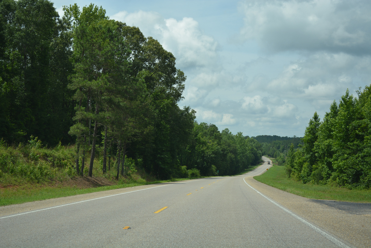
U.S. 31 crosses Piney Woods Creek between the branches of CR 75.
06/07/17
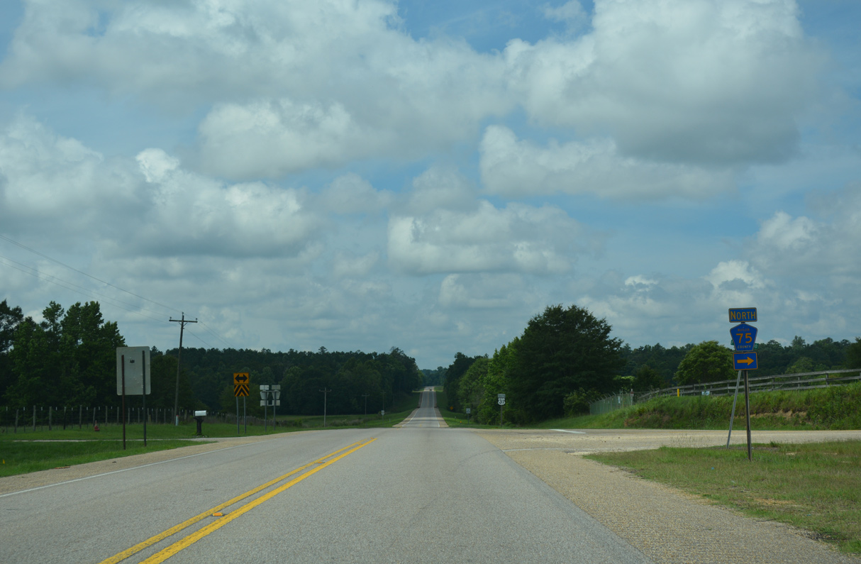
3.9 miles in length, the northern leg of CR 75 follows Fort Deposit Road northwest to Lee Street and CR 37 (Goslen Road) in Fort Deposit.
06/07/17
06/07/17
06/07/17
06/07/17
06/07/17
06/07/17
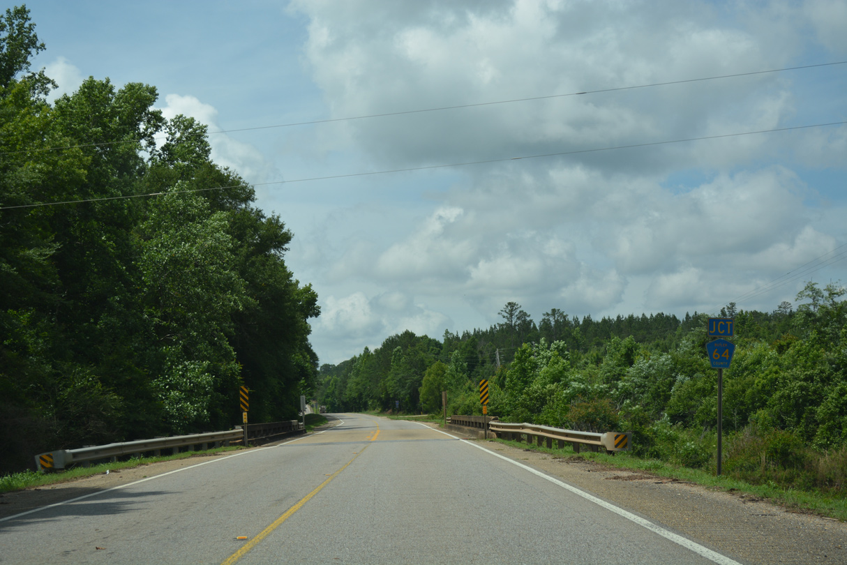
CR 64 (Perry Hill Road) links U.S. 31 with CR 61 (Old Stage Road), 1.4 miles to the west.
06/07/17
06/07/17
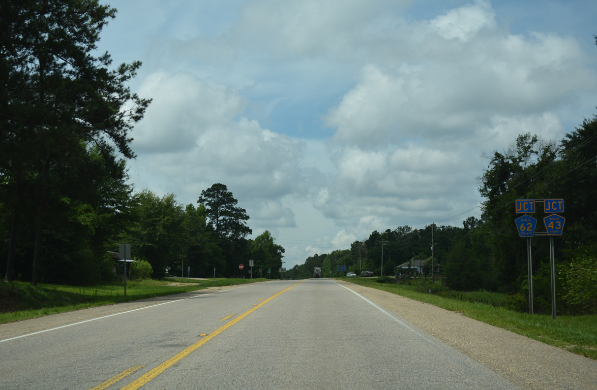
CR 43 (Poor House Road) north, CR 62 (Sunflower Drive) east and CR 62 (Steiner Store Road) west converge with U.S. 31 (Montgomery Highway) at a five point intersection at the unincorporated community of Spring Hill.
06/07/17
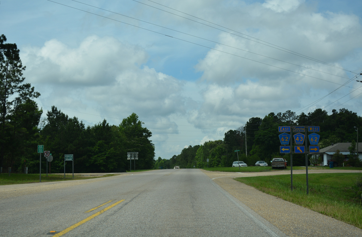
CR 62 west returns to U.S. 31 from Daisy and ends a half mile west of Spring Hill at CR 61 (Old Stage Road). CR 43 heads south to Mashville and SR 10.
06/07/17
06/07/17
CR 61 (Old Stage Road) converges with U.S. 31, 1.1 miles south of CR 62 (Sunflower Drive).
06/07/17
CR 61 travels northwest across I-65 to Searcy en route to SR 185 near the Lowndes County line.
06/07/17
06/07/17
06/07/17
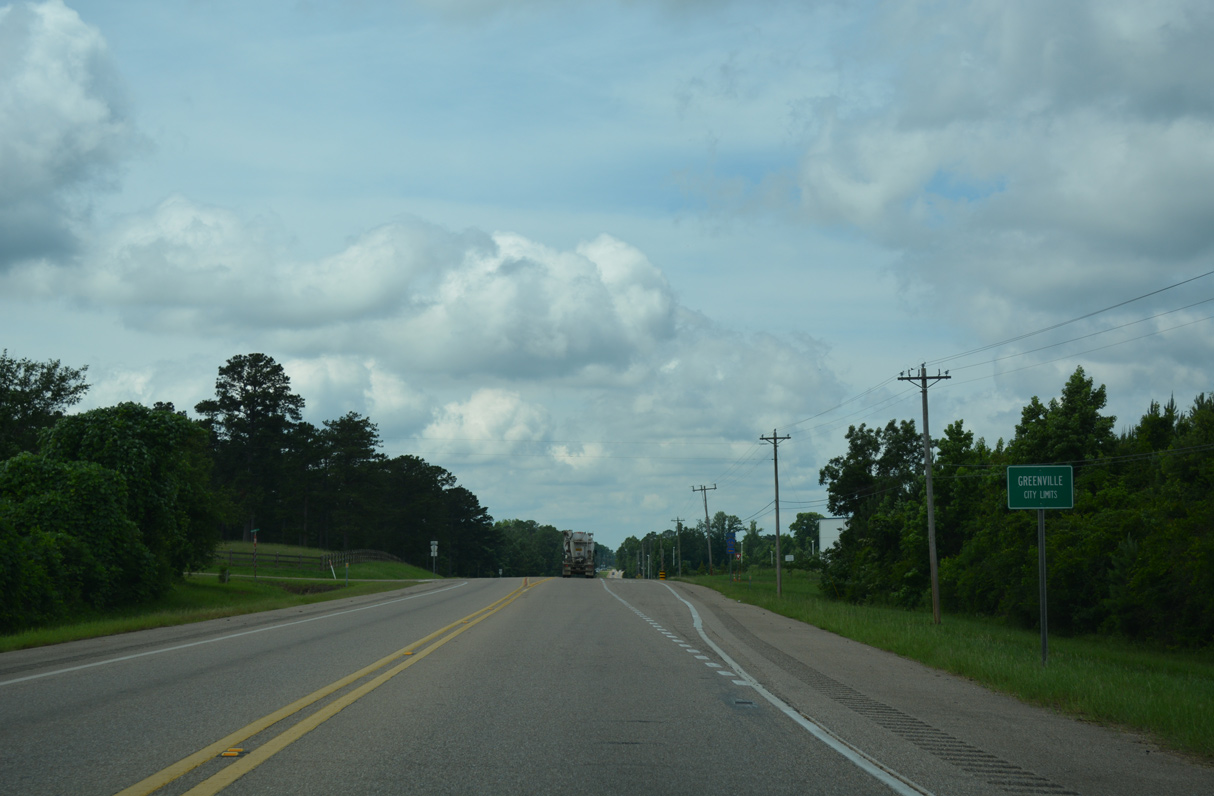
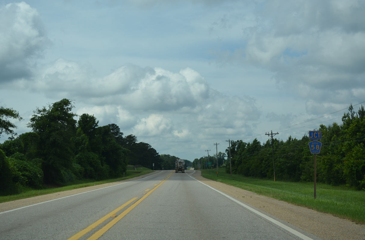
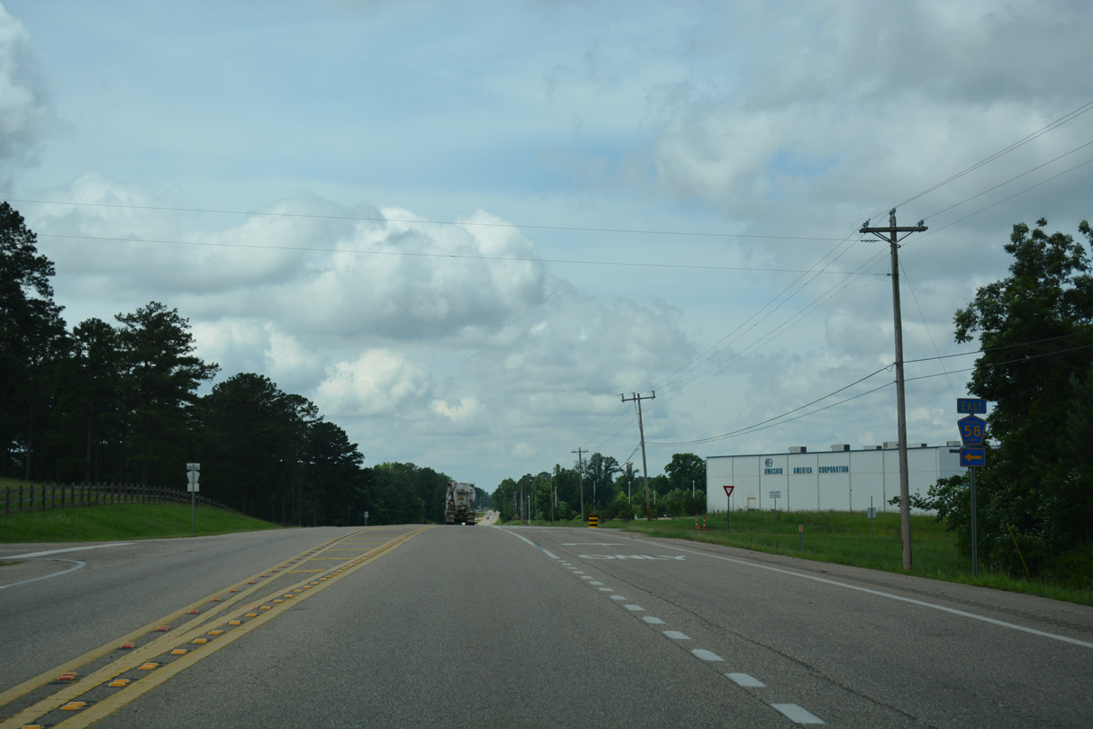
U.S. 31 enters the Butler County seat of Greenville at CR 58 (Hollyhill Road) east.
06/07/17
06/07/17
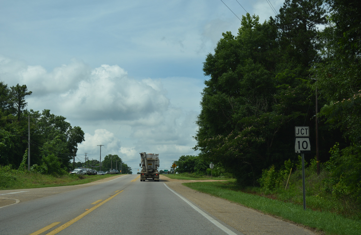
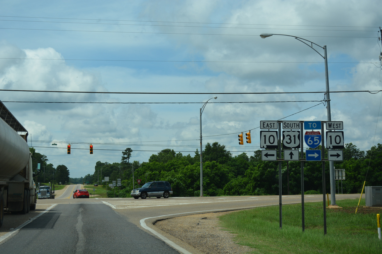
Continuing 0.9 miles south into Greenville, U.S. 31 meets SR 10 (Luverne Highway), a cross state route between Mississippi Highway 19, east of Meridian, and Georgia State Route 37 at Fort Gaines.
06/07/17
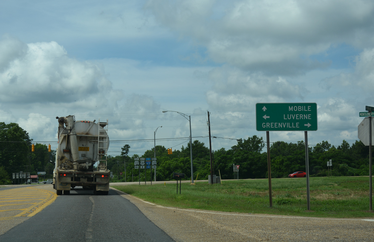
SR 10 connects Greenville with the Crenshaw County seat of Luverne, 22.8 miles to the east along U.S. 331.
06/07/17
West from U.S. 31, SR 10 shifts onto Commerce Street to Downtown Greenville. SR 245 loops north from SR 10, 0.60 miles from U.S. 31, to SR 185 by Interstate 65 at Exit 130.
06/07/17
Photo Credits:
06/07/17 by AARoads
Page Updated 08-17-2022.