|
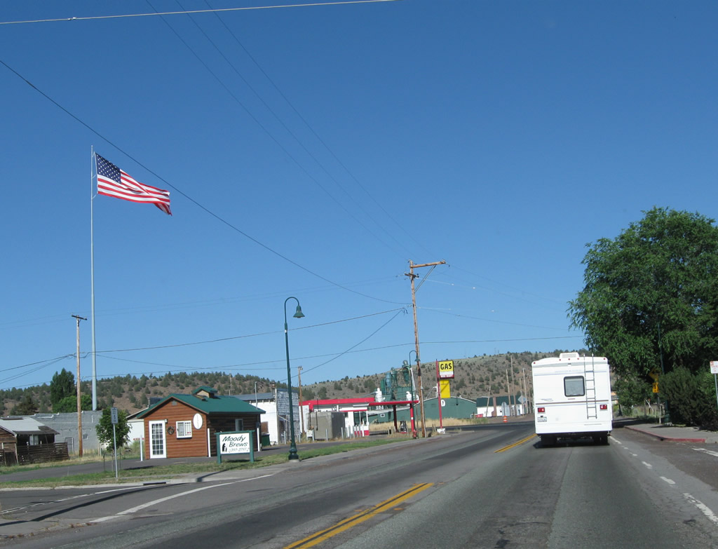
| A welcome sign for Weed follows along U.S. 97 & Business Loop I-5 (Weed Boulevard) north. Home to 2,967 people as of the 2010 Census, Weed was incorporated as a general law city on January 25, 1961. Weed consists of 4.8 square miles of area and sits at an elevation of 3,467 feet. 08/02/11 |
|
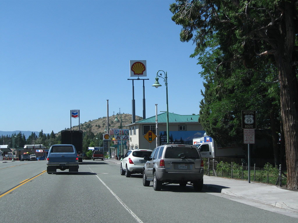
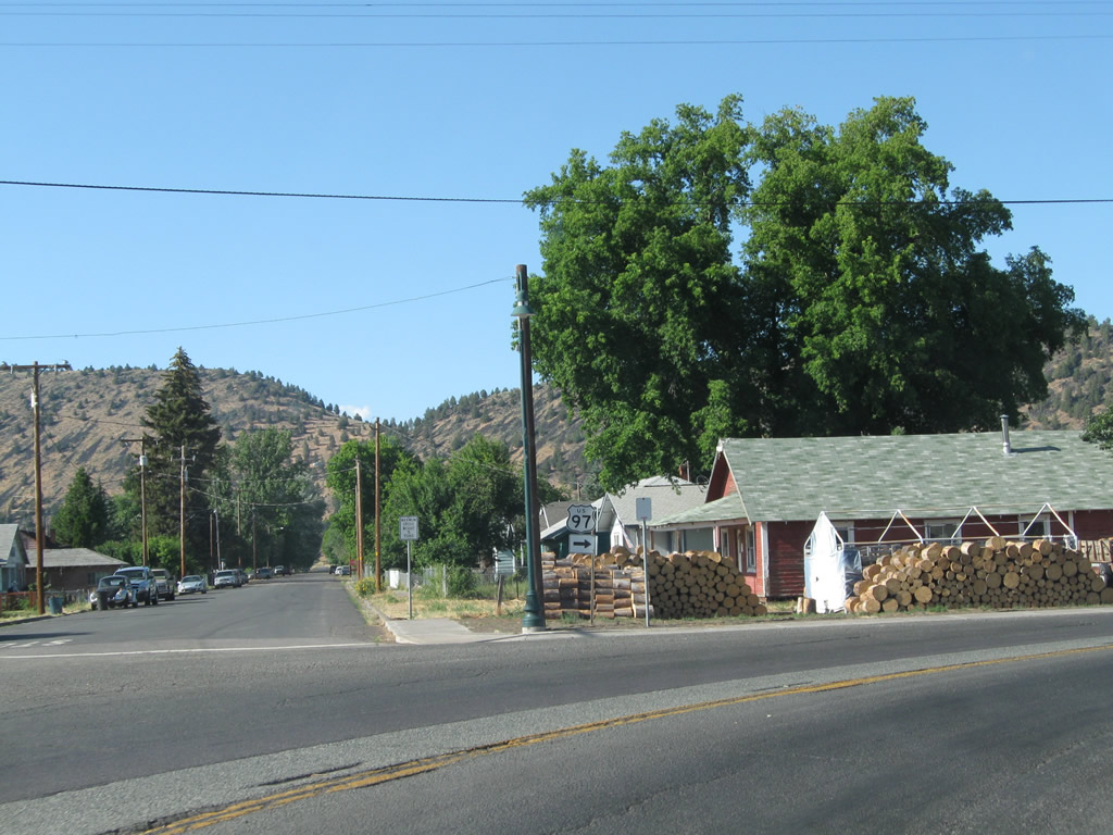
| A Historic U.S. 99 trailblazer stands along Weed Boulevard north after Boles Street. For those heading north along U.S. 97, now is the time to get food or gas, as options northeast to the Oregon state line are in short supply. 08/02/11 |
|
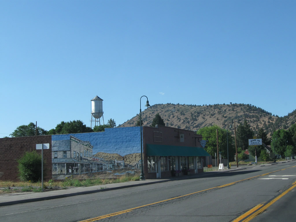
| Main Street angles northeast from Business Loop I-5 & U.S. 97 (Weed Boulevard) into Downtown Weed. Main Street and Alamo Avenue represent the 1940s alignment of U.S. 97 through the city. 08/02/11 |
|
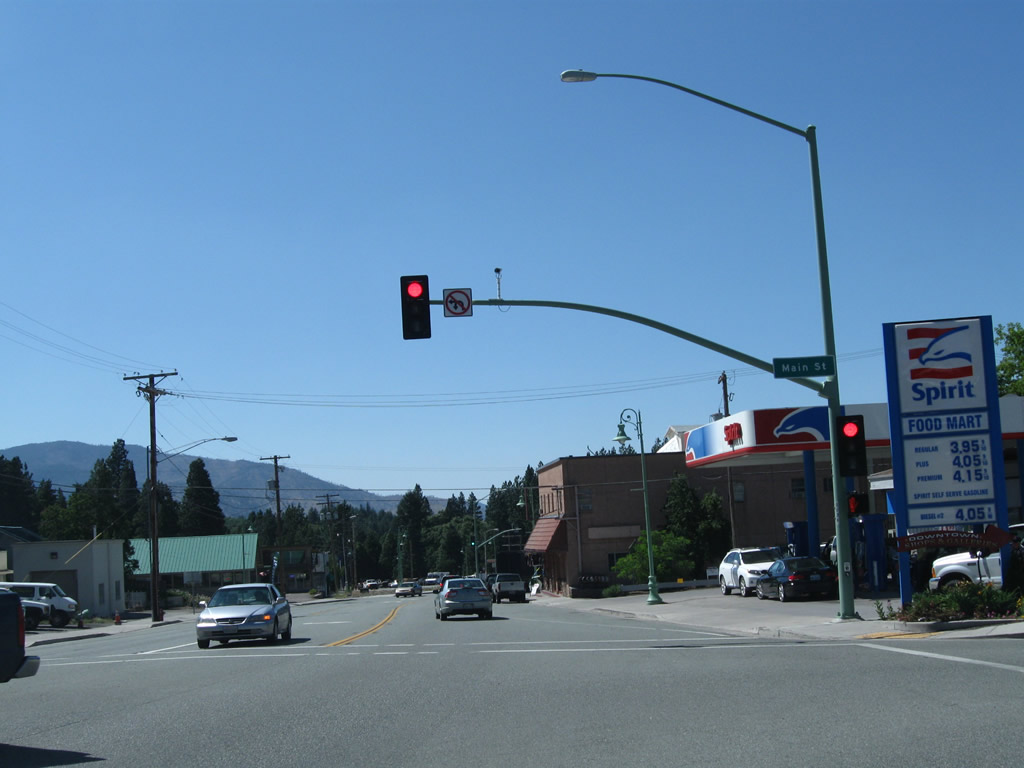
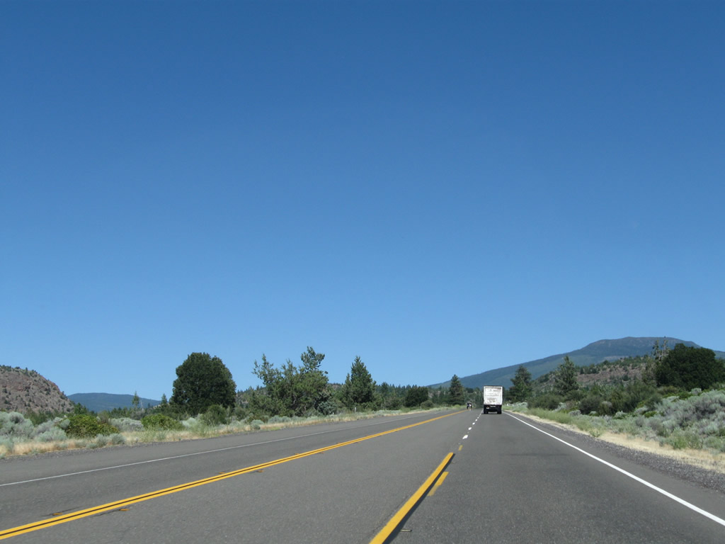
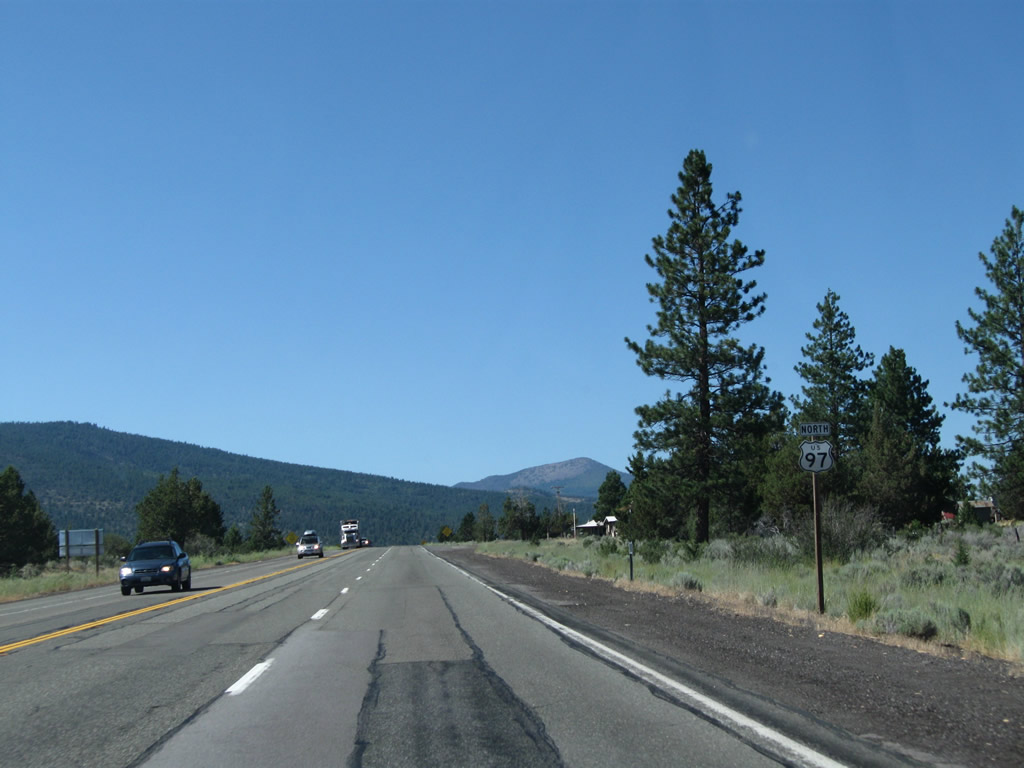
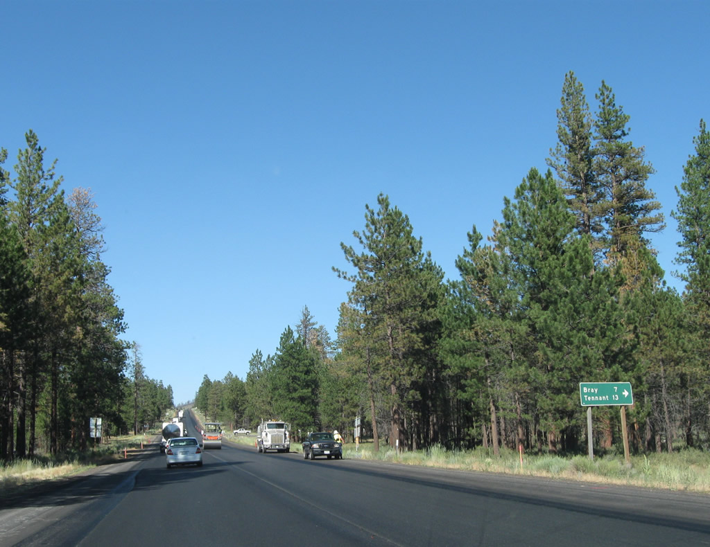
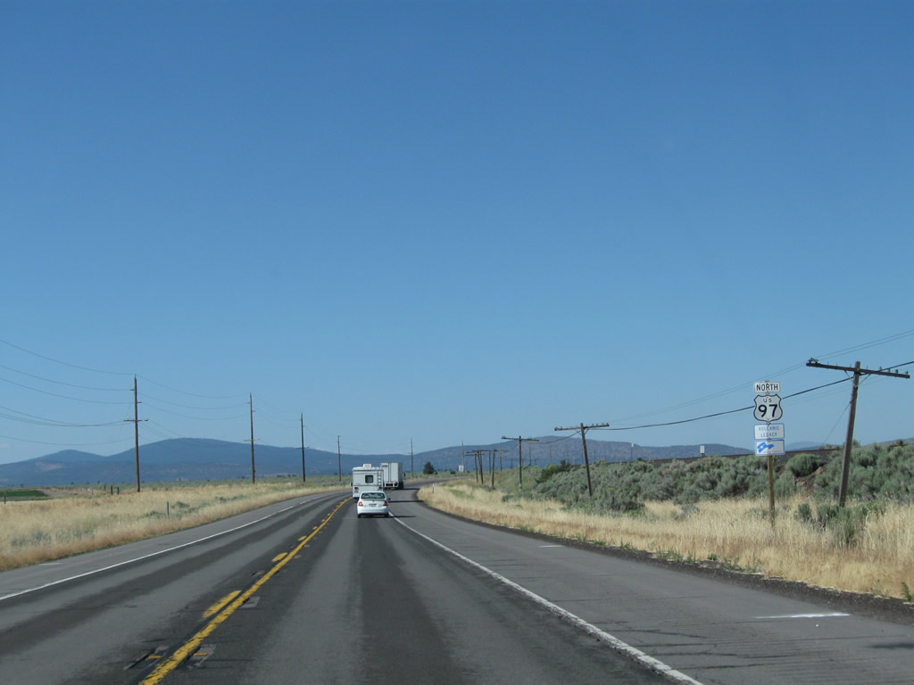
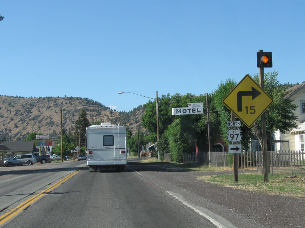
| U.S. 97 north and Business Loop I-5 & Historic U.S. 99 part ways at the succeeding northbound signal for Weed Boulevard west. This intersection was realigned so that U.S. 97 is the through roadway. 08/02/11 |
|
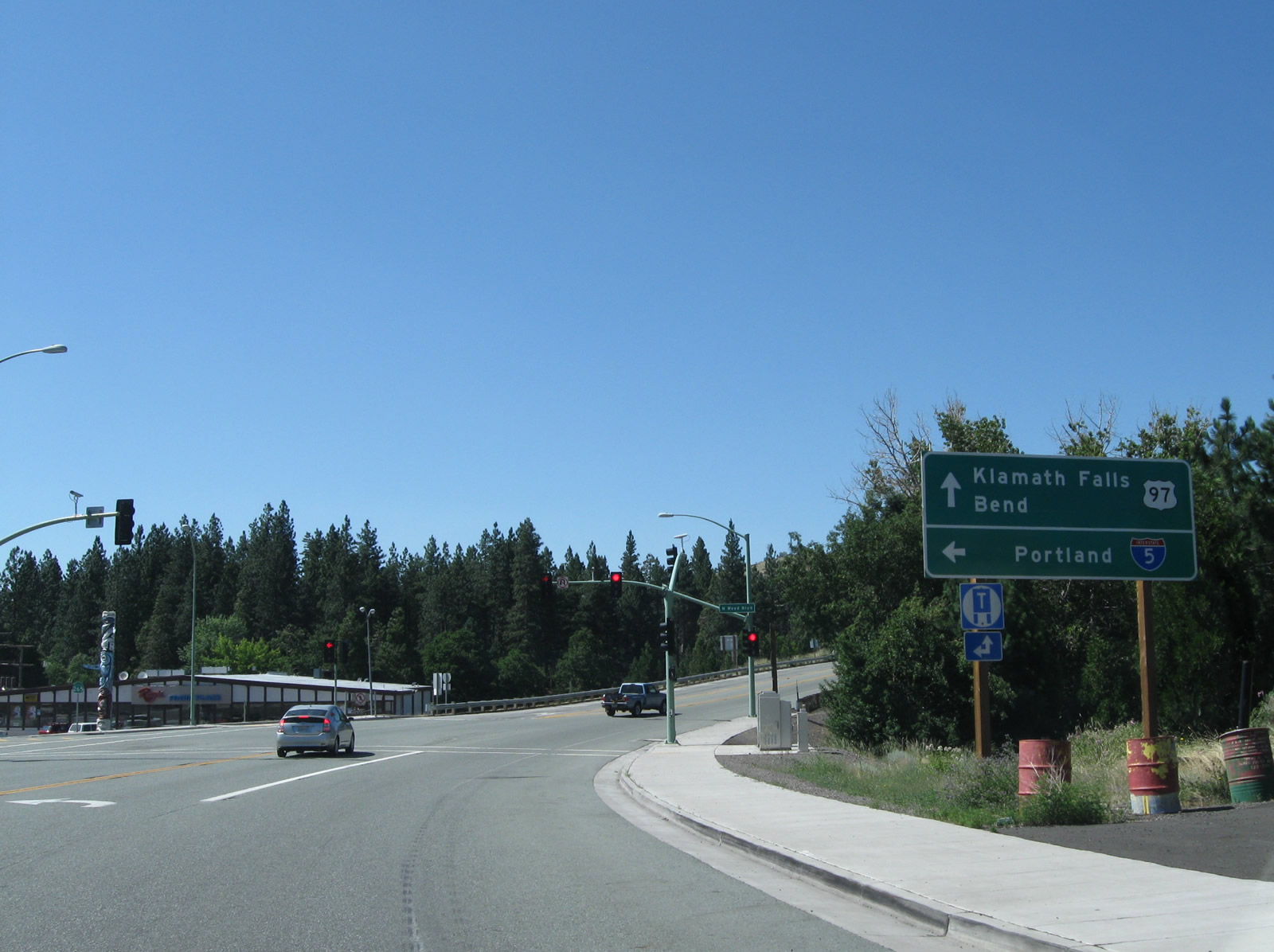
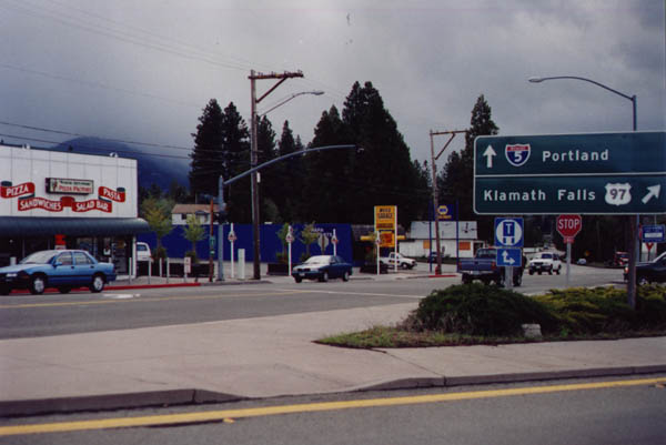
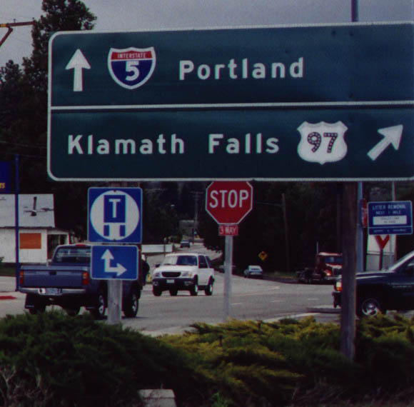
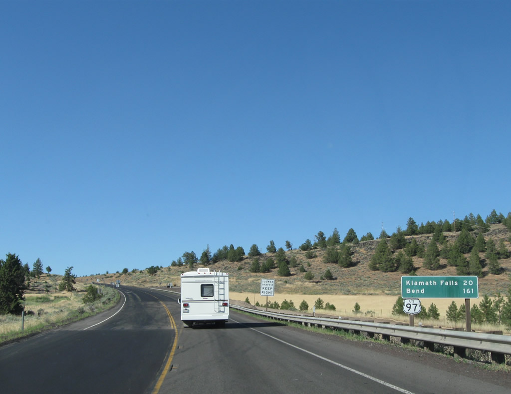
| Historical look at wye intersection where U.S. 97 split from Business Loop I-5 north toward Klamath Falls and Bend, Oregon. SR 265 overlays the rest of the business route back to I-5 at Exit 748. February 1999 |
|
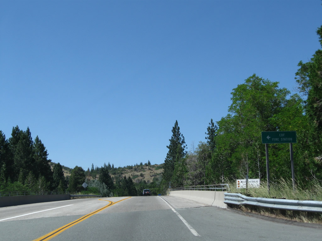
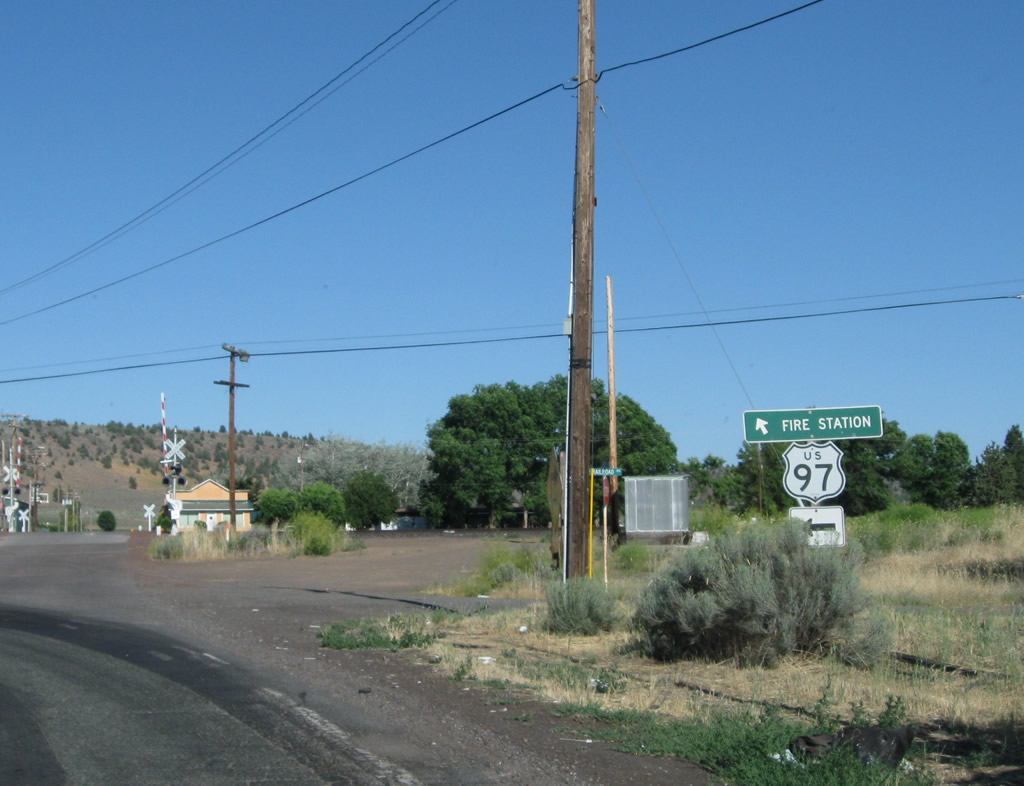
| Beyond the split with Business Loop I-5 and Historic U.S. 99, U.S. 97 north passes over the CORP (Central Oregon & Pacific) Siskiyou rail line on a 1982-built bridge and approaches the turnoff for the California Department of Forestry Fire Station (Cal-Fire). 08/02/11 |
|
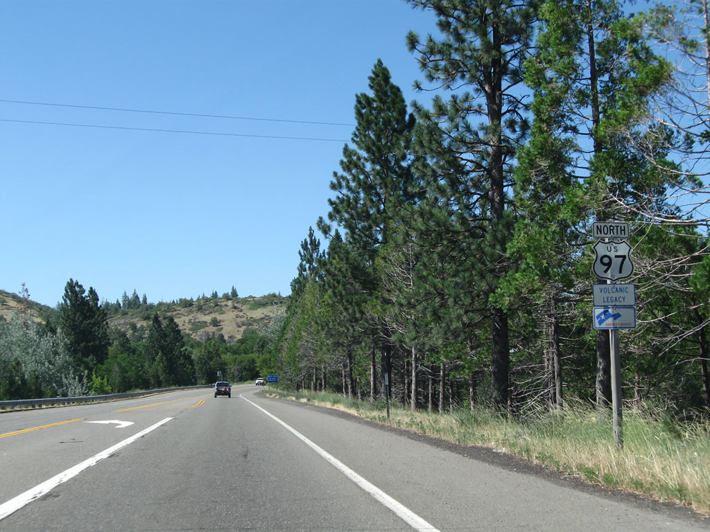
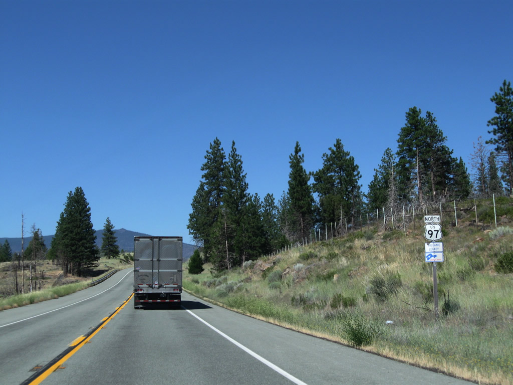
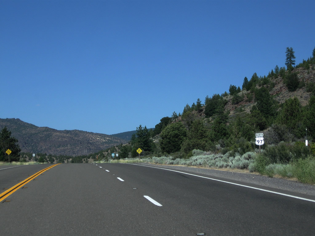
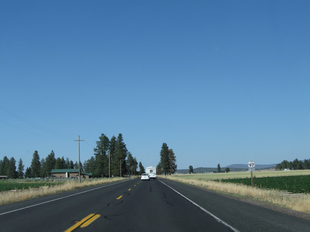
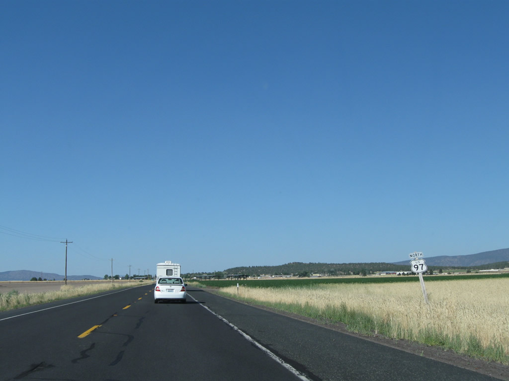
| The first confirming marker for U.S. 97 stands north of the CORP Railroad underpass in north Weed. The two lane highway generally passes through rural territory in Siskiyou County, passing northwest of Mt. Shasta and east of Lake Shastina. 08/02/11 |
|
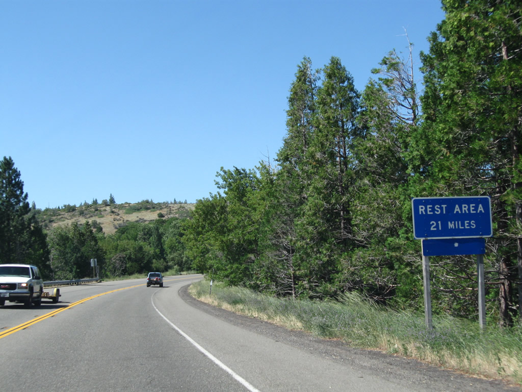
| A rest area is 21 miles north of Weed along U.S. 97. 08/02/11 |
|
| Alamo Avenue leads back to the Weed business district. Together with Main Street, Alamo Avenue is the 1940s alignment of U.S. 97 south to Historic U.S. 99. 08/02/11 |
|
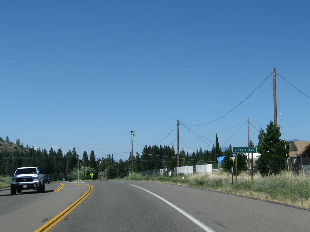
| Northbound U.S. 97 approaches the turnoff to Lincoln Avenue, which serves residential areas in northern Weed. 08/02/11 |
|
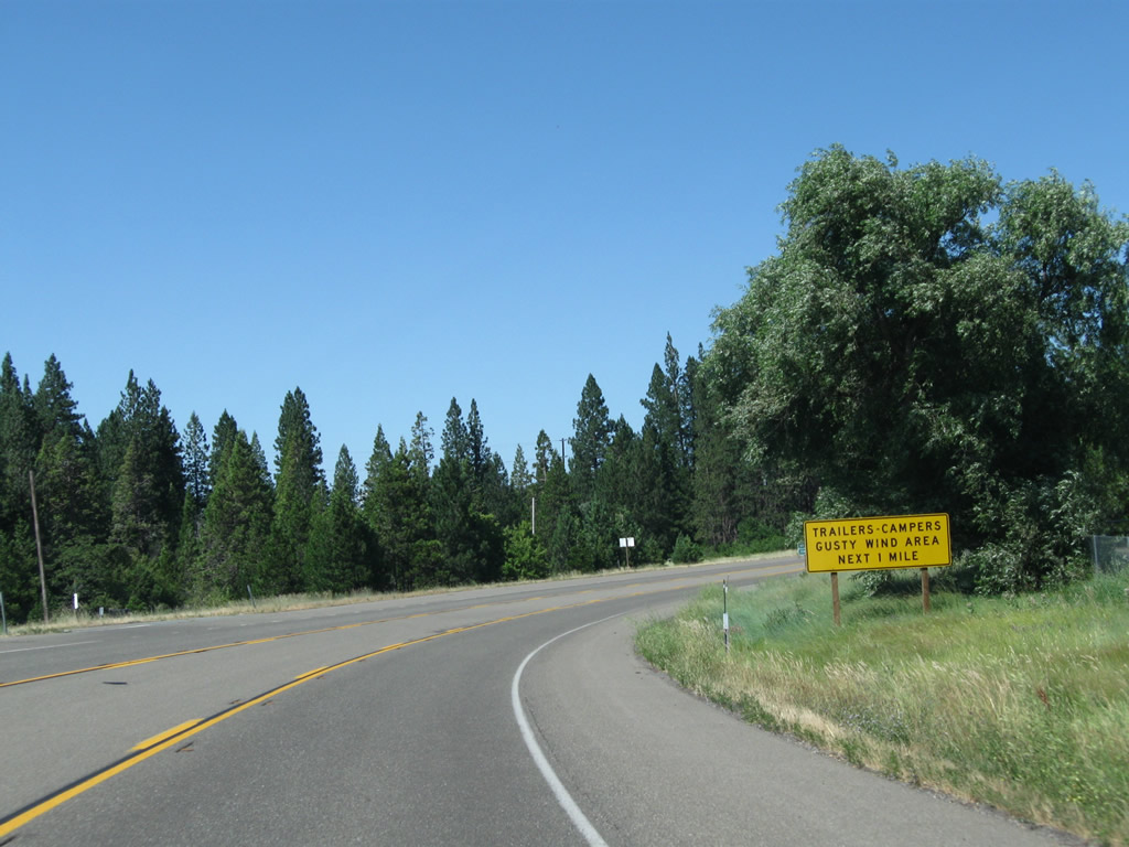
| Curving east around Lincoln Park, U.S. 97 enters a stretch prone to strong winds. 08/02/11 |
|
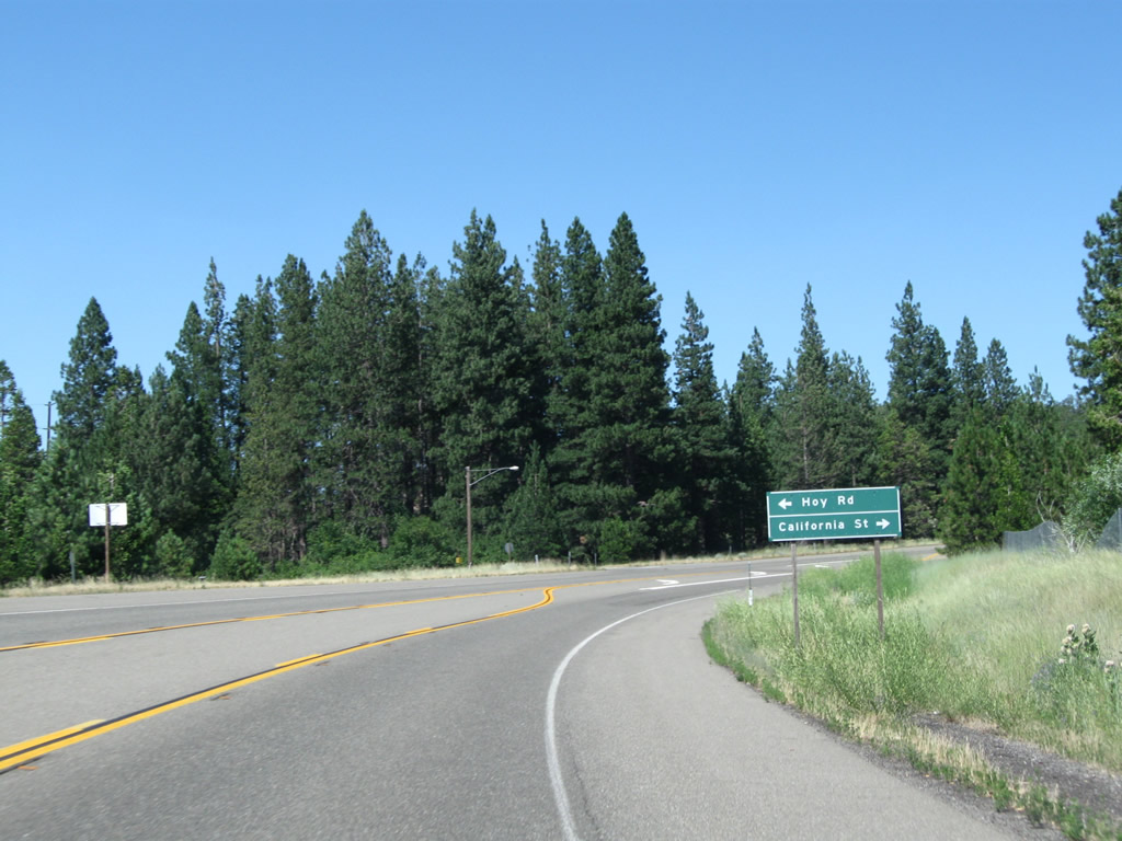
| Hoy Road north provides an indirect route to Lake Shastina (both the lake and the community/golf course development) and Edgewood. Further north, U.S. 97 to CR A-29 (Big Springs Road) provides a more direct route to Lake Shastina. 08/02/11 |
|
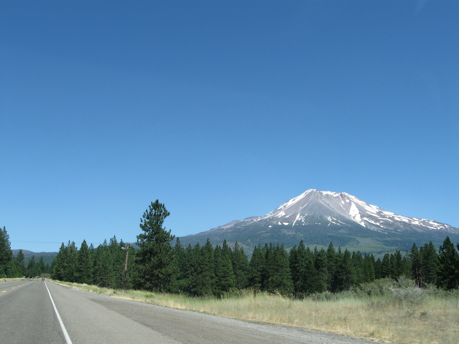
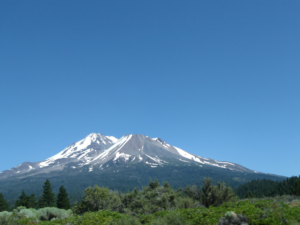
| Mt. Shasta rises high above the Shasta Valley. U.S. 97 skirts the eastern edge of the valley, staying close to Mt. Shasta. Waters from the north side of Mt. Shasta flow into the Shasta River watershed; the Shasta River in turn flows north into the Klamath River. 08/02/11 |
|
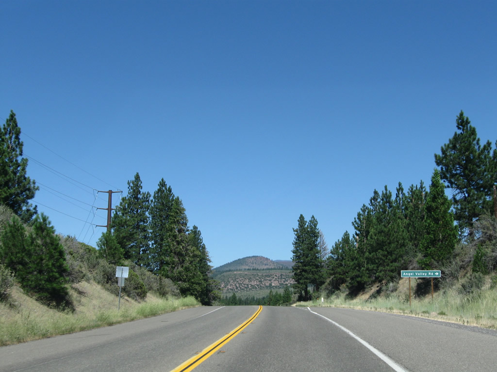
| Advancing north along the eastern flanks of Shasta Valley and the northwestern edge of Mt. Shasta, U.S. 97 next approaches Angel Valley Road. 08/02/11 |
|
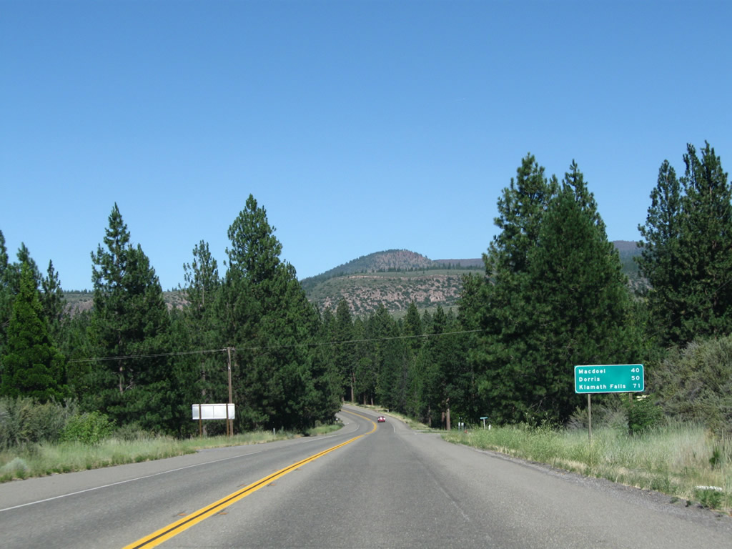
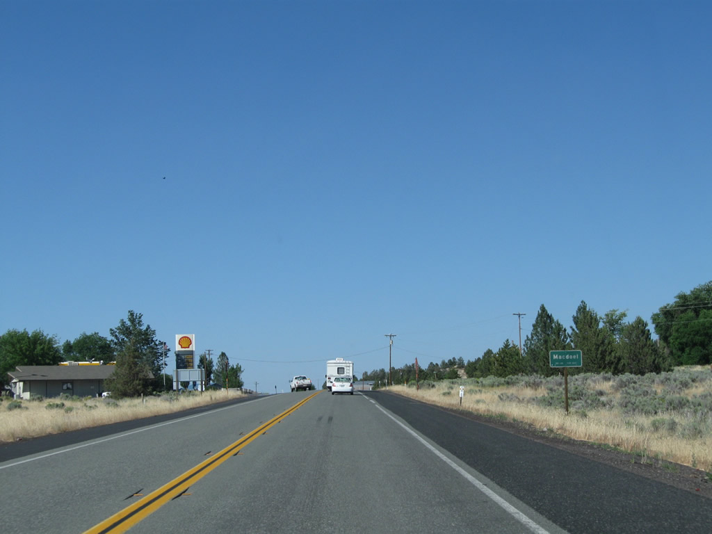
| The first distance sign for U.S. 97 follows Angel Valley Road. Motorists continuing north each Macdoel in 40 miles, Dorris in 50 miles and Klamath Falls, Oregon in 71 miles. 08/02/11 |
|
| Entering unincorporated Carrick, northbound U.S. 97 intersects Maple Avenue. Maple Avenue is the first of five residential streets along the east side. 08/02/11 |
|
| Power lines cross over U.S. 97 at Carrick Avenue south. U.S. 97 turns leaves the small community after 1st Avenue. 08/02/11 |
|
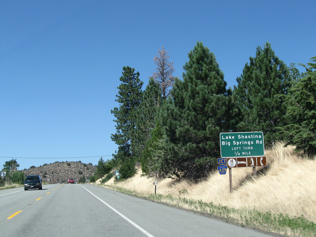
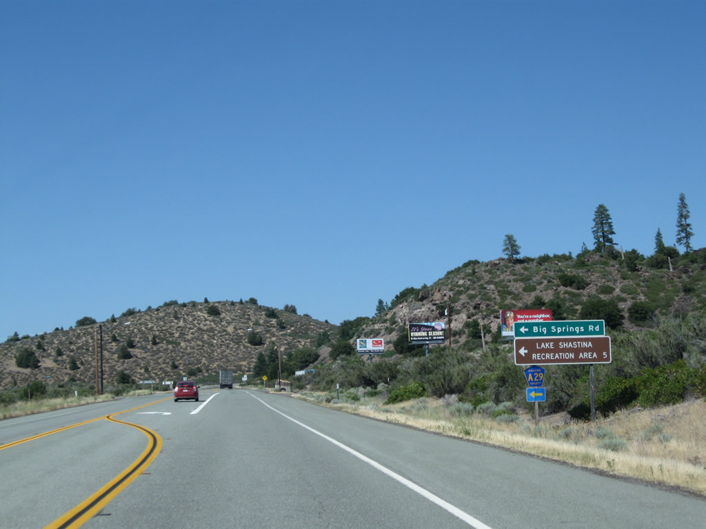
| 1.6 miles north of Carrick, U.S. 97 intersects Siskiyou County A-29 (Big Springs Road), which travels north to Lake Shastina and Big Springs. 08/02/11 |
|
| CR A-29 passes by Lake Shastina en route to the 99-97 Cutoff, which is Siskiyou County A-12. CR A-12, in turn, travels east back to U.S. 97 or west to Interstate 5 and Historic U.S. 99. 08/02/11 |
|
| U.S. 97 shifts northeast from County Road A-29 (Big Springs Road) and expands to include a truck climbing lane. 08/02/11 |
|
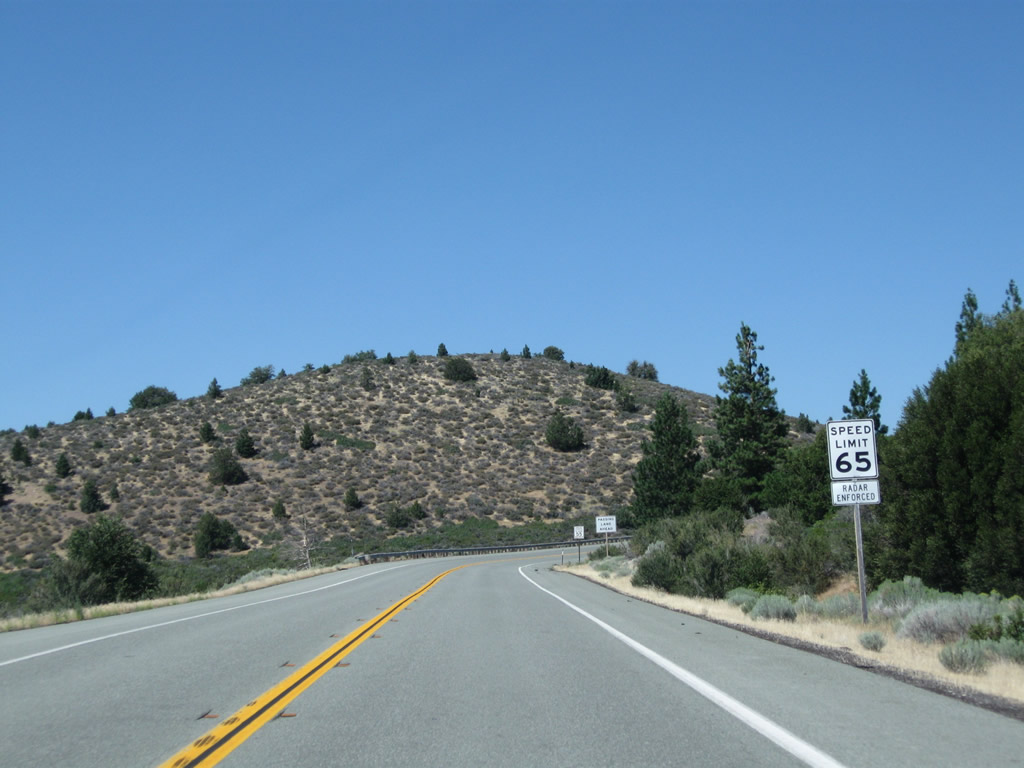
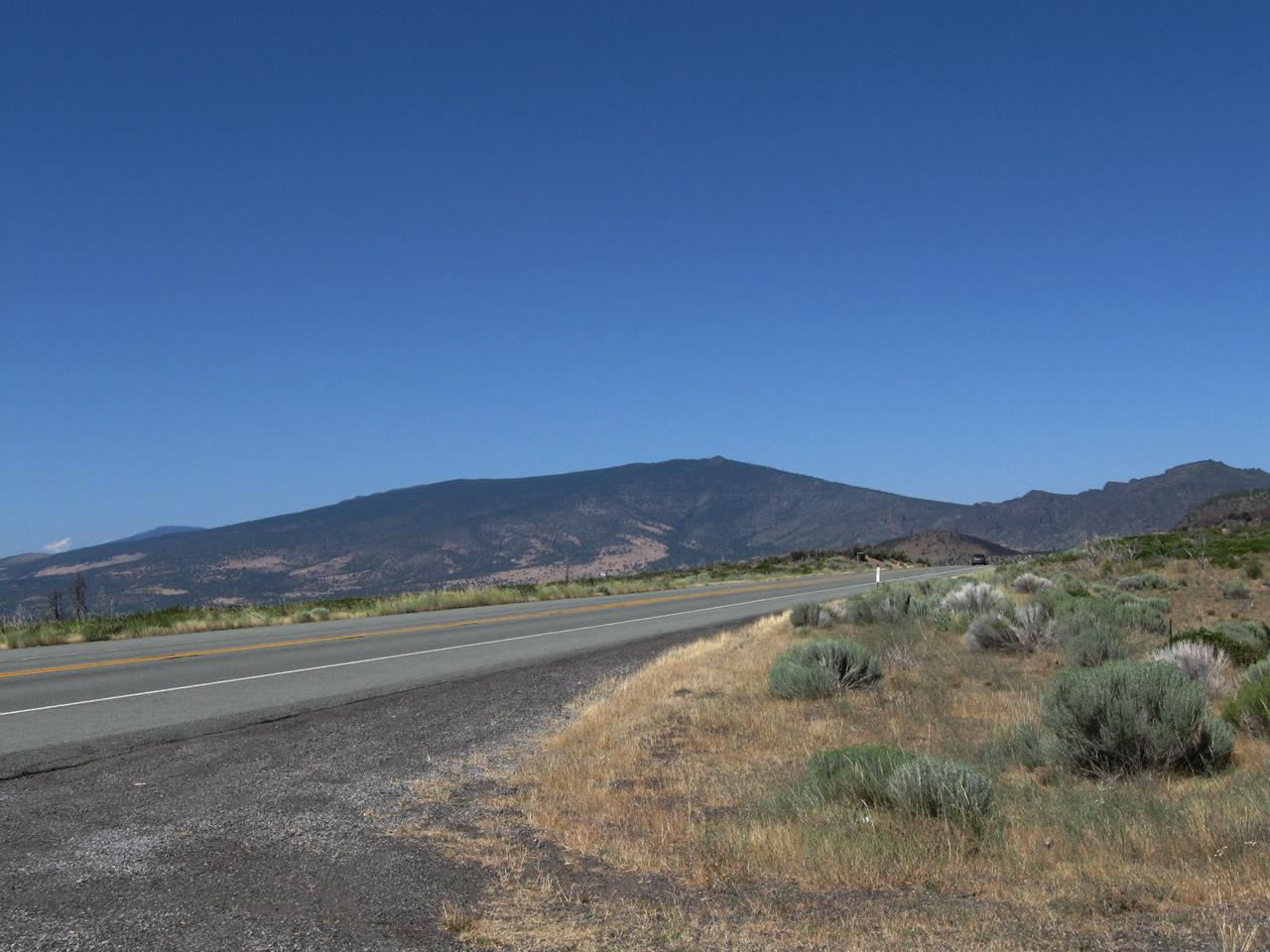
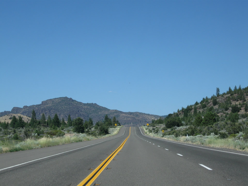
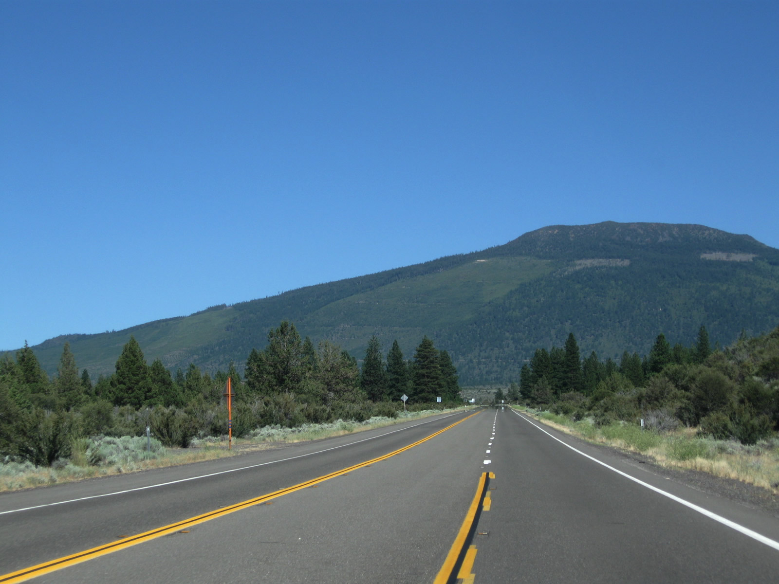
| U.S. 97 straddles the northern periphery of Mt. Shasta over the ensuing seven mile stretch. Views of Mt. Shasta are prevalent to the top of the grade, which is at an elevation of 5,101 feet. 08/02/11 |
|
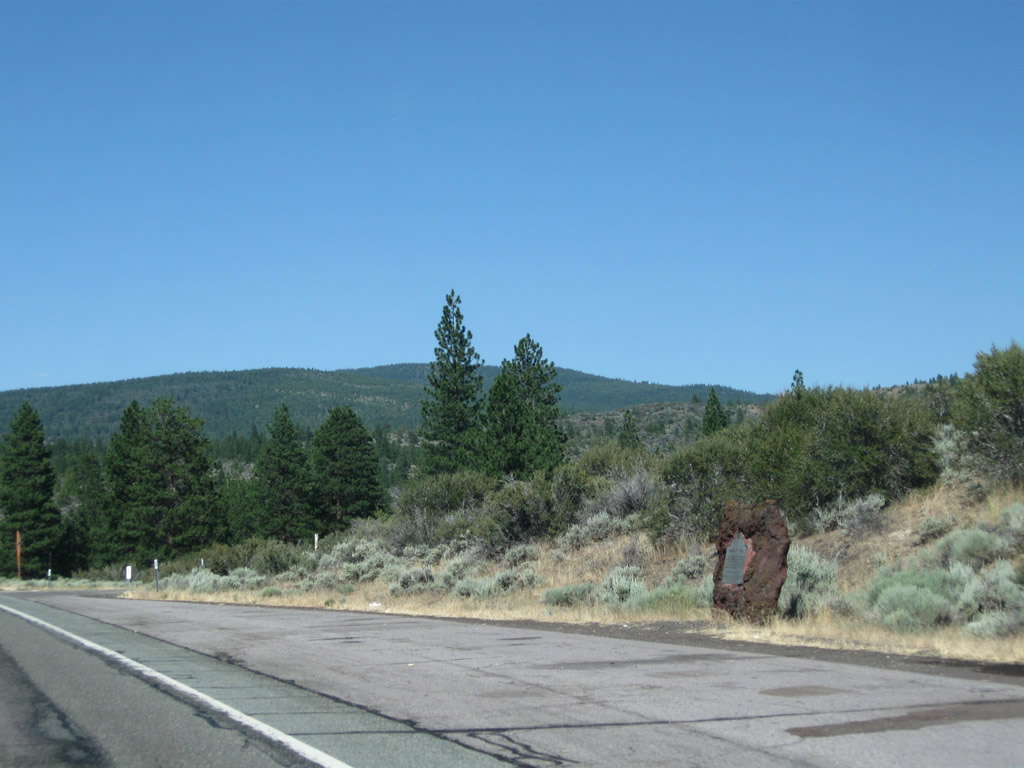
| Reassurance marker posted along a straight away near the Mt. Shasta lava beds spreading northwest toward Lake Shastina. 08/02/11 |
|
| 7.8 miles north of Interstate 5, scenes along U.S. 97 at a pull off and Shasta National Forest road. 08/02/11 |
|
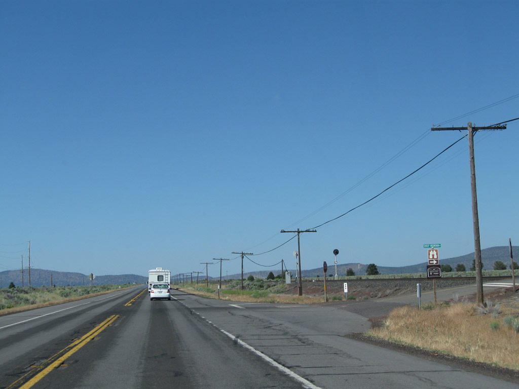
| Sheep Rock and Miller Mountain appear along the northeastern horizon as U.S. 97 progresses northward toward Haystack and Yellow Buttes. 08/02/11 |
|
| A turnoff connects with an unpaved road leading north around Haystack Butte to Juniper Valley. 08/02/11 |
|
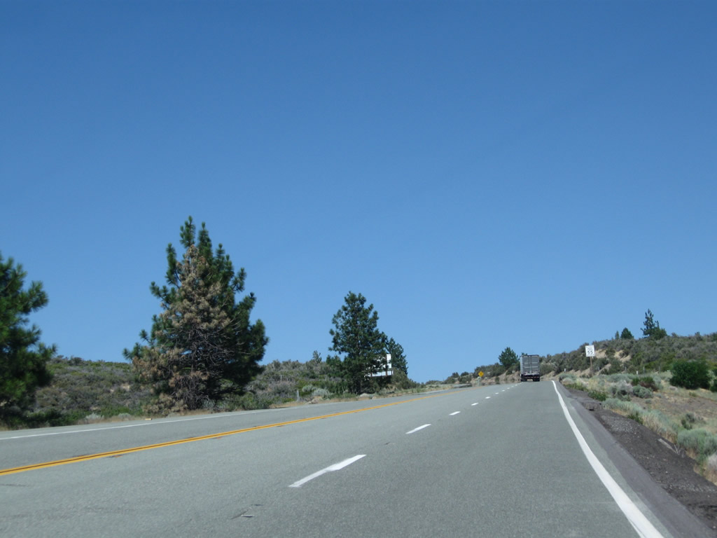
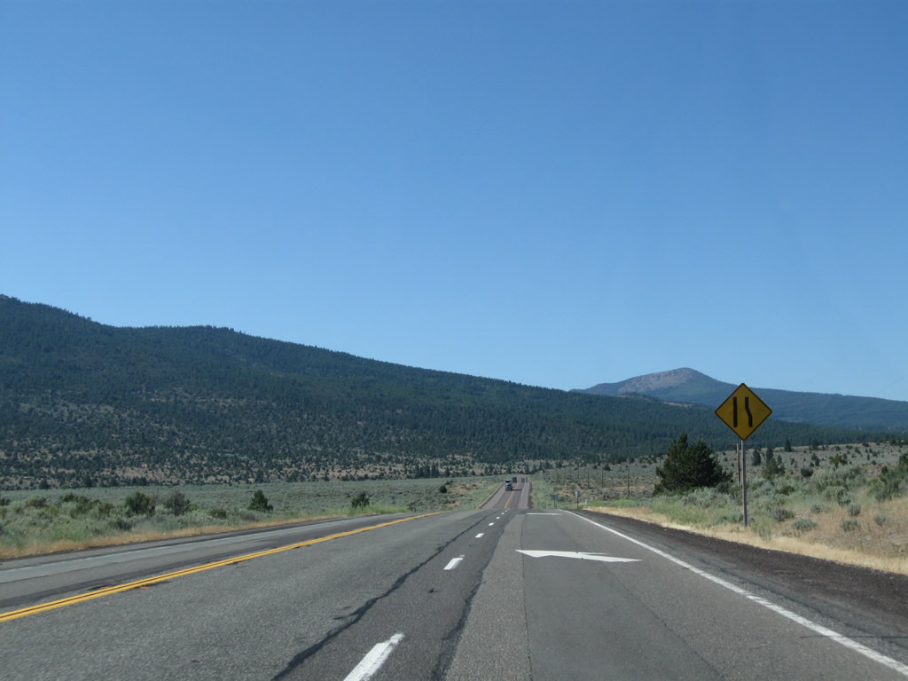
| Another passing lane opens along U.S. 97 north after the turnoff to Juniper Valley. Volcanic rock lines both sides of the highway, acting as a reminder of the geological past of this area and the volatility of the Cascade Range. 08/02/11 |
|
| U.S. 97 (Volcanic Legacy Scenic Byway) navigates through an S-curve to the south of Haystack and Yellow Buttes. 08/02/11 |
|
| The Whaleback and Deer Mountain rise to the east in this scene along a succeeding northbound passing lane. 08/02/11 |
|
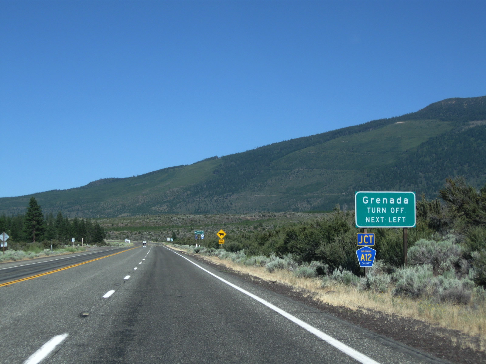
| Reaching an elevation of 4,000 feet, northbound U.S. 97 approaches Siskiyou County A-12, which is locally known as the 99-97 Cutoff. 08/02/11 |
|
| County Road A-12 begins here and travels west to meet Interstate 5 at Exit 766 near Grenada. This route is especially useful for drivers on southbound U.S. 97 to connect to I-5 north to Yreka and points north in Oregon. 08/02/11 |
|
| U.S. 97 makes a gradual northeasterly turn follow the intersection with CR A-12 (99-97 Cutoff). 08/02/11 |
|
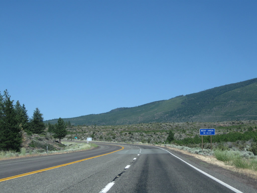
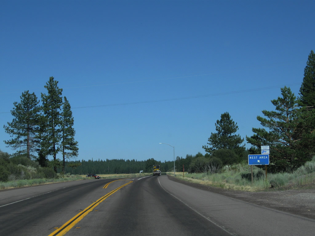
| A rest area is located ten miles north of 99-97 Cutoff along U.S. 97. 08/02/11 |
|
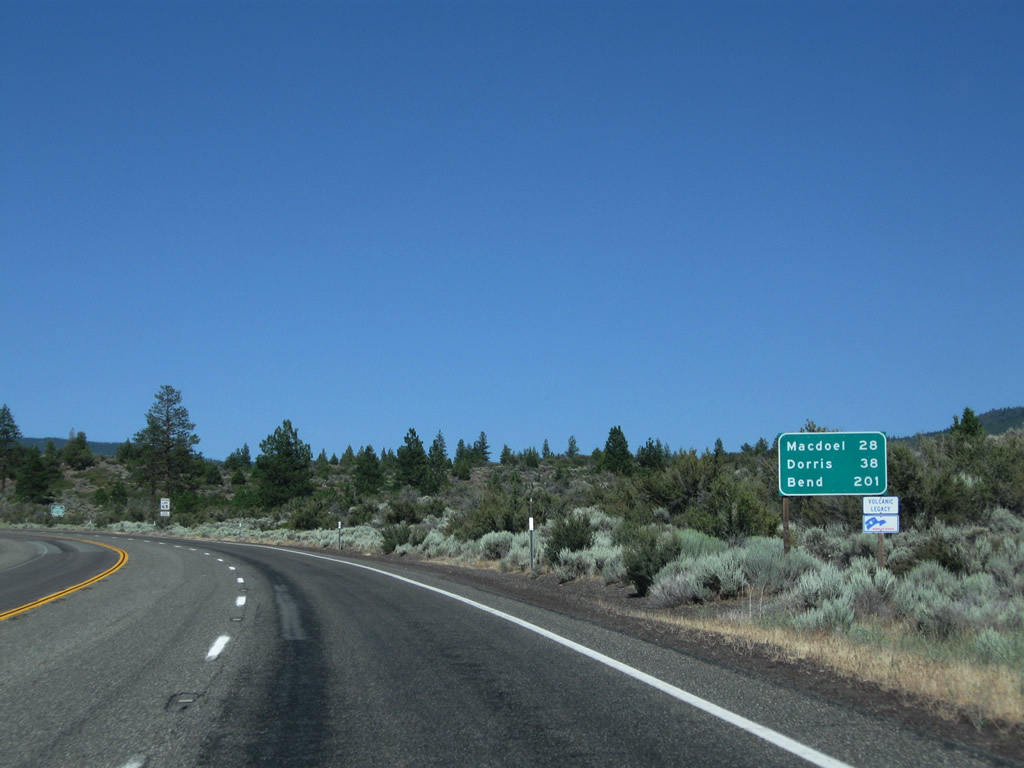
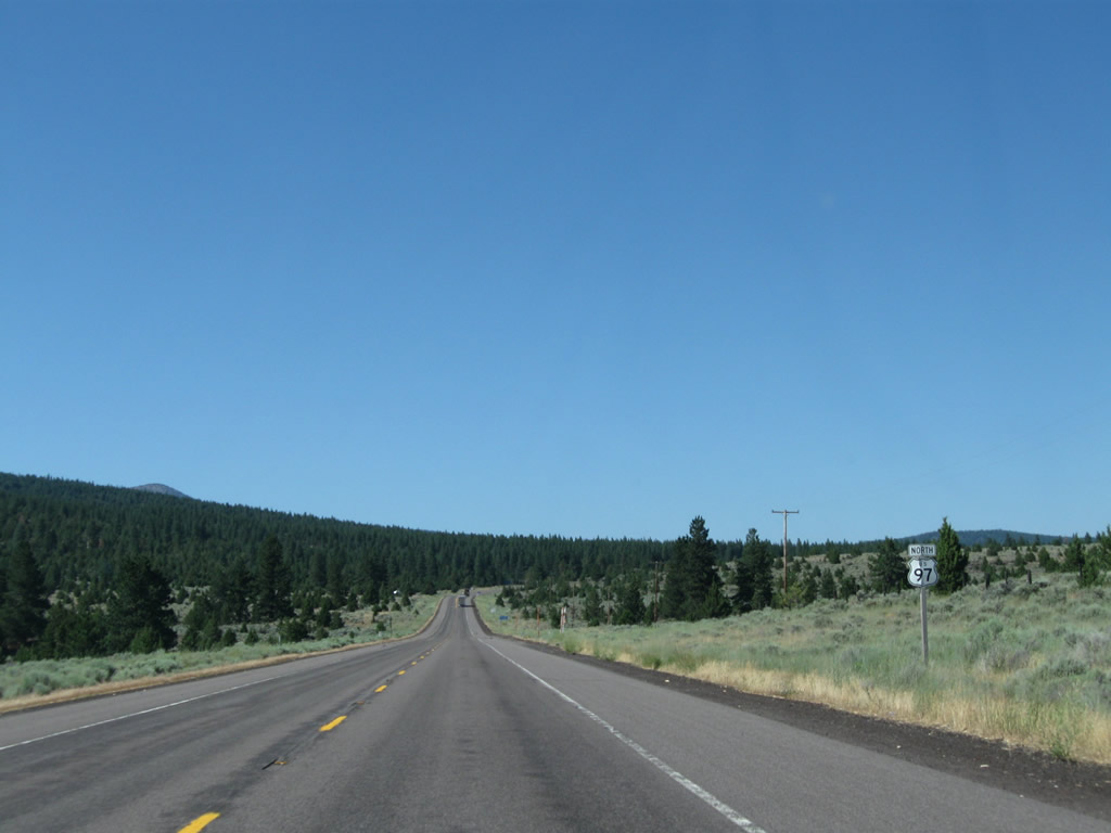
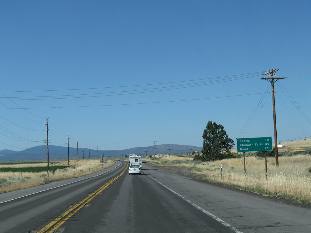
| Macdoel and Dorris, situated 28 and 38 miles north respectively in the Butte Valley, are the next population centers along U.S. 97 north. This distance sign omits Klamath Falls, Oregon in favor of Bend (201 miles). 08/02/11 |
|
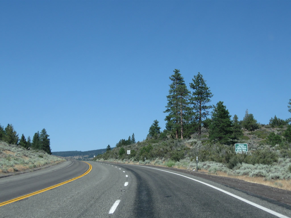
| Northbound U.S. 97 next approaches the Living Memorial Sculpture Garden. The tribute to veterans is located on the west side of U.S. 97, 0.9 miles beyond CR A-12. 08/02/11 |
|
| U.S. 97 continues northeast, still skirting the northwestern edge of Mt. Shasta. 08/02/11 |
|
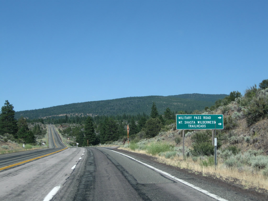
| Near an Emigrant Trail historical marker, north U.S. 97 approaches Military Pass Road to hiking trails for the north slope of Mt. Shasta. 08/02/11 |
|
| The Emigrant Trail historical marker is on the east side of U.S. 97. 08/02/11 |
|
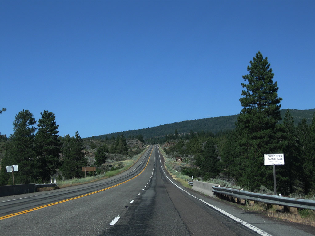
| The Sheep Rock Cattlepass bridge along U.S. 97 north of Military Pass Road was constructed in 1976. 08/02/11 |
|
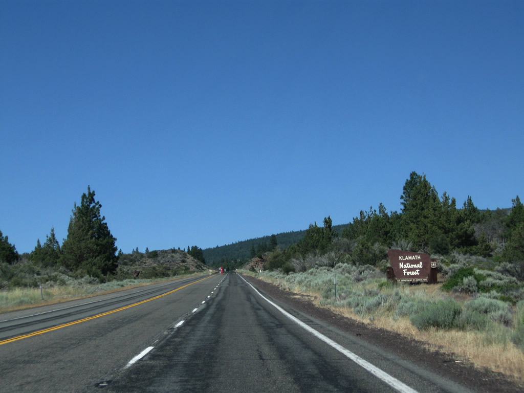
| U.S. 97 next enters Klamath National Forest. 08/02/11 |
|
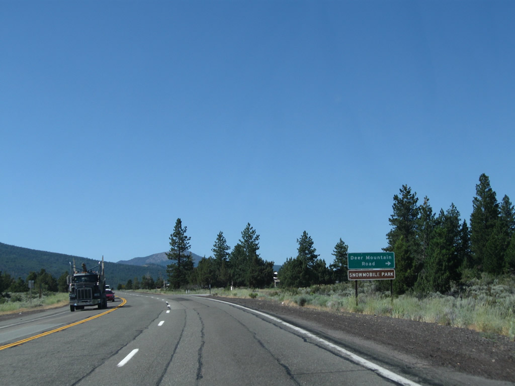
| Northbound U.S. 97 next approaches Deer Mountain Road. A Snopark is located here for winter access for snowmobiles and cross country skiers. 08/02/11 |
|
| A U.S. 97 north reassurance shield appears after the Deer Mountain Road intersection. 08/02/11 |
|
| With the eastern slopes of Miller Mountain spreading into view, the northbound climbing lane for U.S. 97 comes to an end. 08/02/11 |
|
| A U.S. 97 north reassurance shield is posted prior to the Mount Shasta Vista Point south of Grass Lake Summit. 08/02/11 |
|
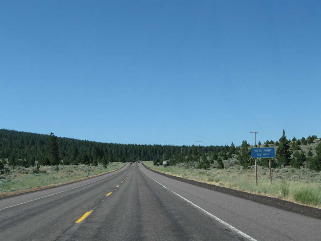
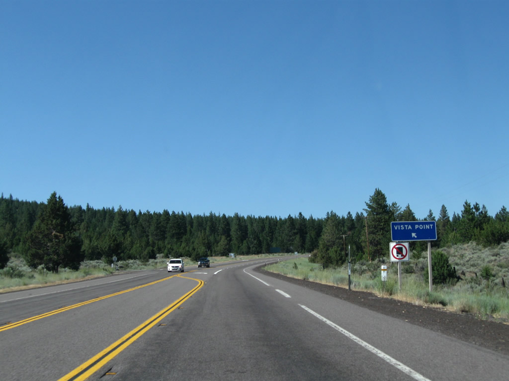
| The next left is a Vista Point, which offers a view of Mt. Shasta to the south. No facilities are available here. 08/02/11 |
|
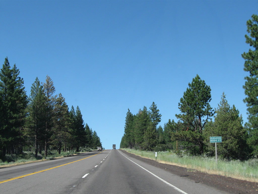
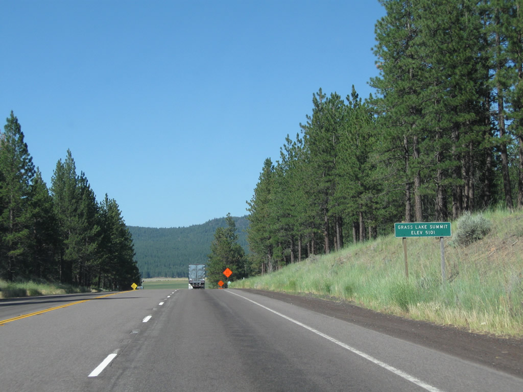
| Continuing on the final push uphill to Grass Lake Summit, U.S. 97 clears 5,000 feet and has a passing lane from the Vista Point turnoff to the summit. 08/02/11 |
|
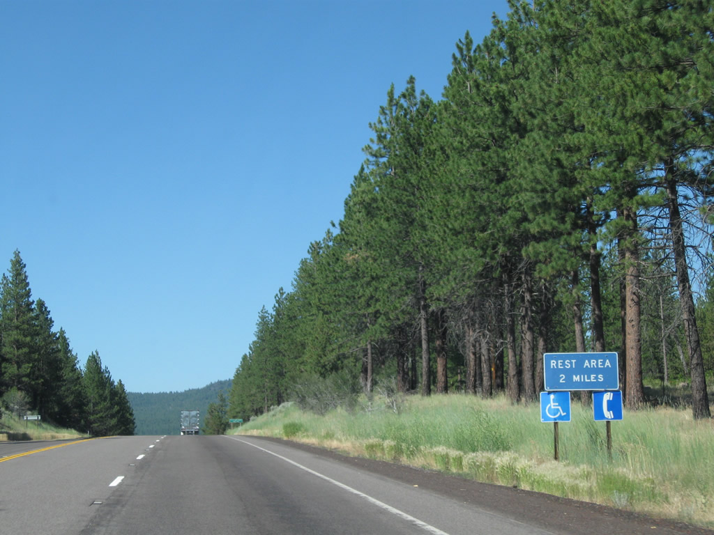
| Northbound U.S. 97 reaches Grass Lake Summit, elevation 5,101 feet, on the two mile approach to the aforementioned rest area. 08/02/11 |
|
| The Grass Lake Rest Area overlooks the dry lake bed along the north side of U.S. 97. 08/02/11 |
|
| U.S. 97 runs along southern reaches of Grass Lake along a fairly linear stretch of roadway. Advancing east, the US highway will again gain elevation to Mt. Hebron Summit (el. 5,202 feet). 08/02/11 |
|
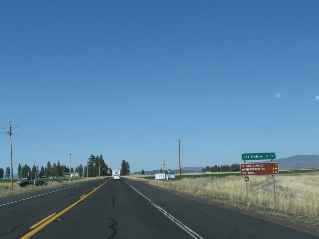
| Northbound U.S. 97 approaches the turnoff to Tennant Road, which travels east to Bray and Tennant. 08/02/11 |
|
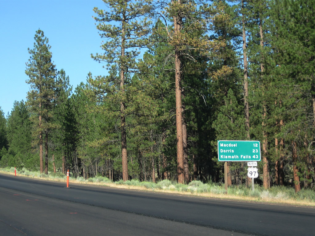
| This distance sign provides the distance to Macdoel (12 miles), Dorris (23 miles), and Klamath Falls (43 miles). The control city of Bend is omitted from this sign. 08/02/11 |
|
| Proceeding uphill, U.S. 97 reaches Mt. Hebron Summit (el. 5,202 feet). 08/02/11 |
|
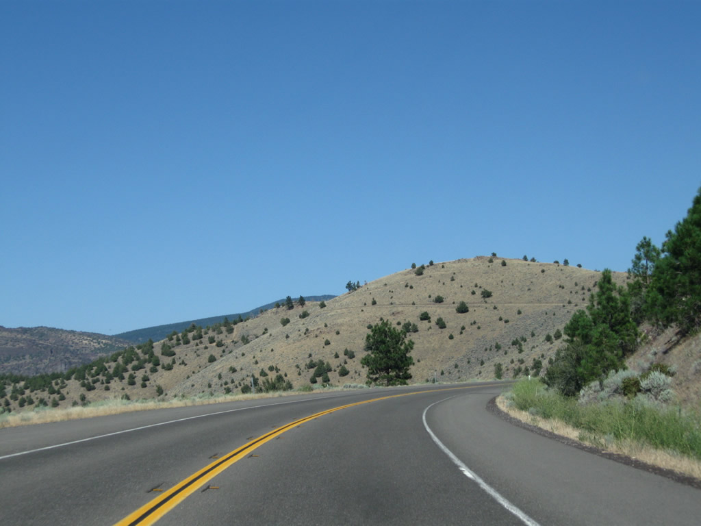
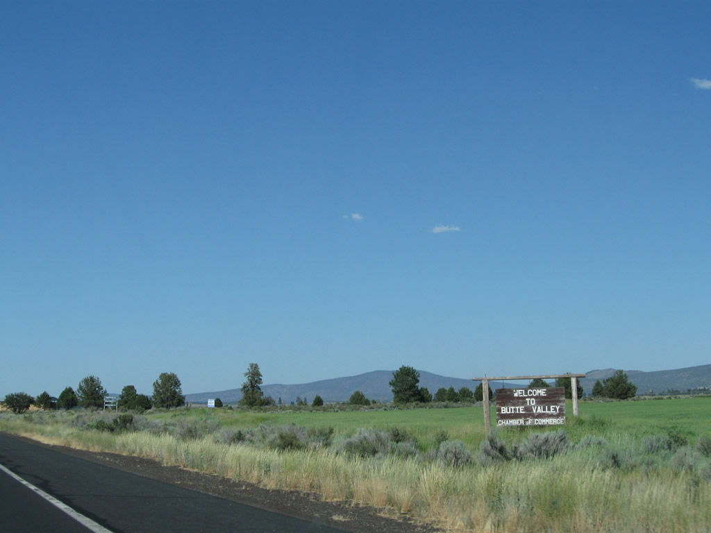
| Lowering from Mt. Hebron Summit grade, U.S. 97 enters Butte Valley. This predominantly agricultural area boasts several ranches and includes the city of Dorris along with unincorporated communities of Mt. Hebron and Macdoel. 08/02/11 |
|
| U.S. 97 north intersects Ball Mountain Road, which leads east three miles to the community of Mt. Hebron. Motorists taking Ball Mountain Road west will encounter a rugged trip parallel to the Little Shasta River en route to Montague. Due to the fact this road is not improved to state route standards, it is faster to get to Montague via U.S. 97 south and the 99-97 Cutoff (Siskiyou County A-12). 08/02/11 |
|
| Reassurance marker for U.S. 97 north posted after Ball Mountain Road. The Oregon state line is 17.9 miles from here. 08/02/11, September 2001 |
|
| Agricultural lands span across the vast Butte Valley along U.S. 97 to Macdoel. 08/02/11 |
|
| Northbound U.S. 97 approaches Meiss Lake Road west to Butte Valley National Grassland (Wildlife Area), Lake Meiss, and Juanita Lake Campground and east to a snowmobile park and a Cal-Fire station. 08/02/11 |
|
| Northbound U.S. 97 enters unincorporated Macdoel, a small agricultural community in the Butte Valley. 08/02/11 |
|
| U.S. 97 angles across a the Macdoel street grid and intersects Juniper Knoll Road east and Vera Cruz Street. 08/02/11 |
|
| Reassurance shield and distance sign posted as U.S. 97 leaves Macdoel and proceeds north ten miles to Dorris and 30 miles to Klamath Falls, Oregon. 08/02/11 |
|
| Northbound U.S. 97 meets Sheep Mountain Road east to agricultural areas outside Butte Valley National Grassland. 08/02/11 |
|
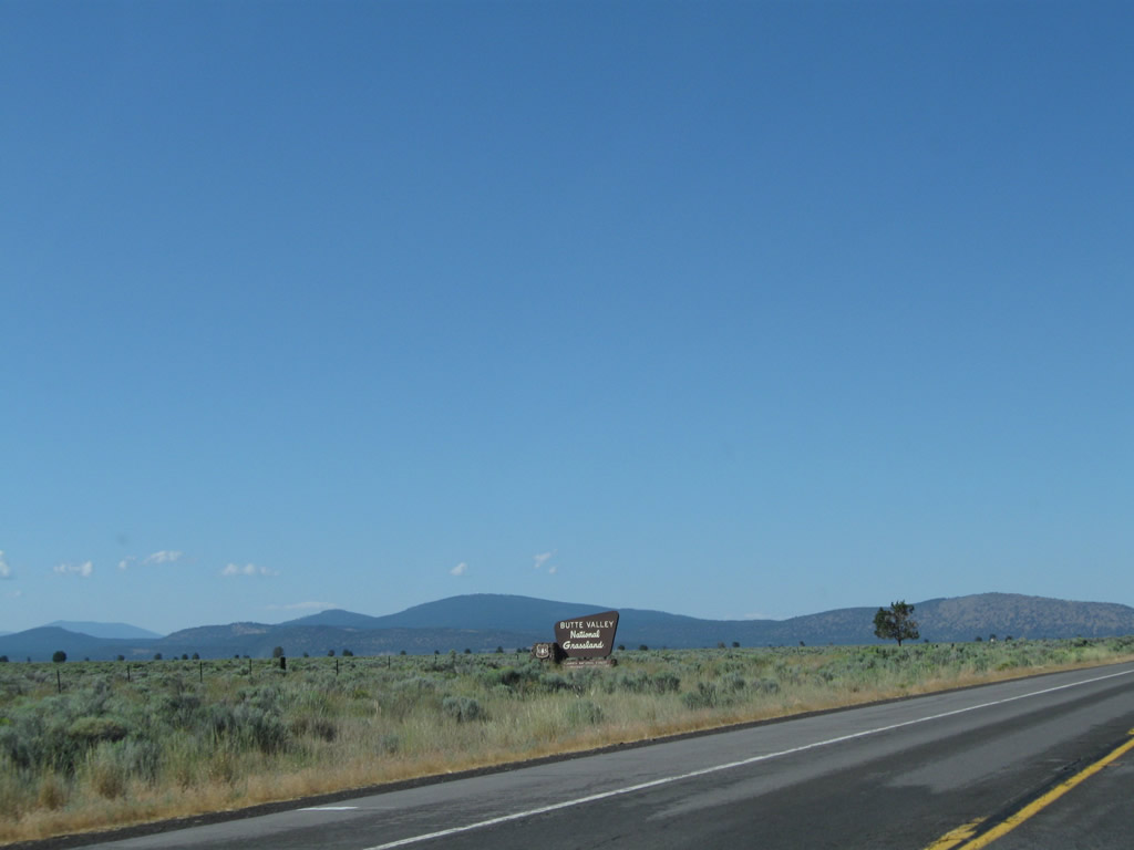
| U.S. 97 travels northeast through Butte Valley National Grassland, which was dedicated between Macdoel and Dorris in July 1991. This is the only national grassland within the state of California. Activities include hiking and wildlife viewing, especially near Meiss Lake. 08/02/11 |
|
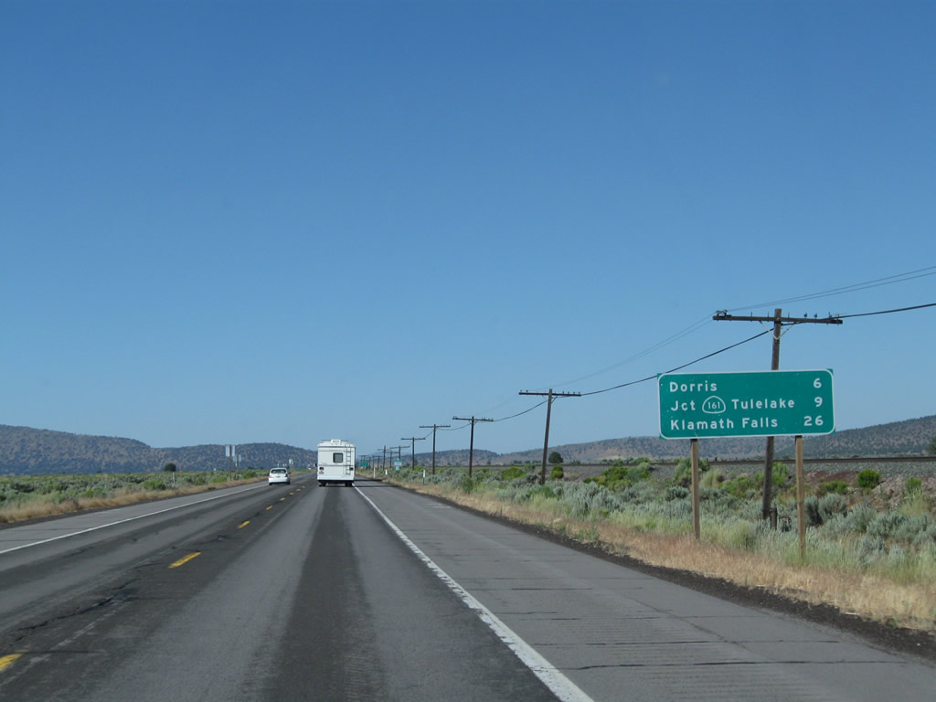
| Another distance sign provides the distance to Dorris (six miles), SR 161 at the California-Oregon State Line (nine miles), and Klamath Falls (26 miles) via U.S. 97 north. 08/02/11 |
|
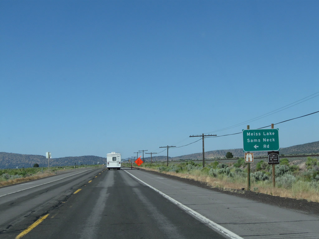
| Northbound U.S. 97 approaches Meiss Lake Sams Neck Road, which travels west into the national grassland, north of Meiss Lake. 08/02/11 |
|
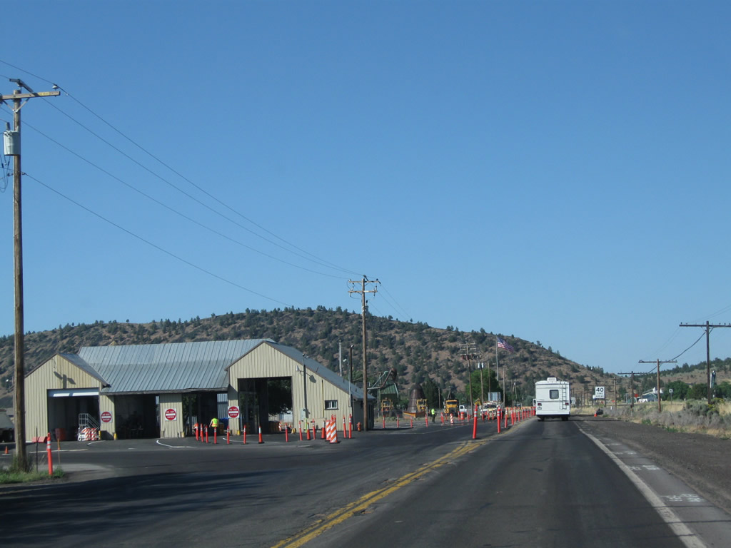
| U.S. 97 passes by the California Agricultural Inspection Station, which stops southbound travelers. 08/02/11 |
|
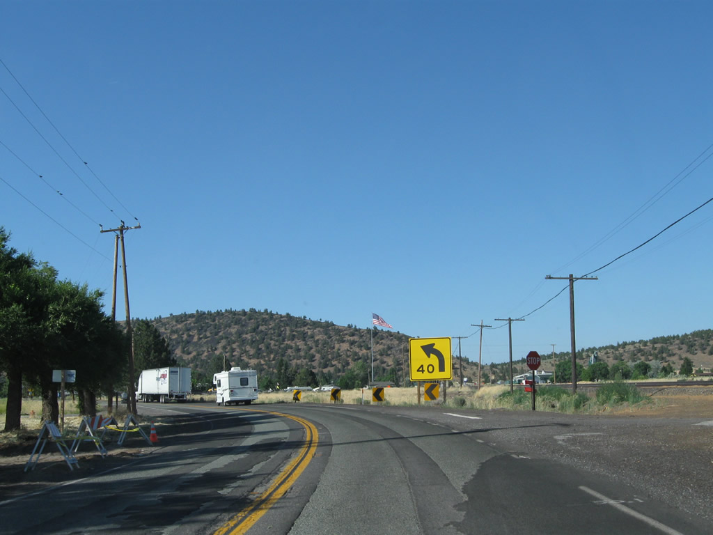
| Concluding a relatively long straight away,speed limits reduce as U.S. 97 curves northward onto Butte Street into the city of Dorris. 08/02/11 |
|
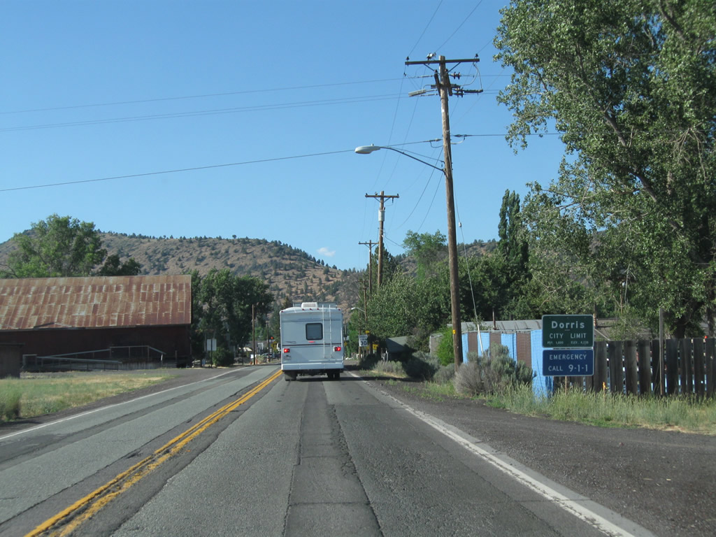
| Dorris incorporated on December 23, 1908. The city had a population of 939 as of the 2010 census. 08/02/11 |
|
| U.S. 97 takes a stair stepped route through Dorris, initially turning east from Butte Street onto 4th Street for three blocks. 08/02/11 |
|
| The landmark of Dorris, the 200 foot high flagpole by City Hall, comes into view in this scene along U.S. 97 (4th Street) north at California Street. Erected on June 2, 1996, a 30-foot by 60-foot American flag flies above the city. This flagpole was considered to be the tallest in the United States west of the Mississippi River. 08/02/11 |
|
| U.S. 97 makes another 90 degree turn, leaving 4th Street east for Main Street north through the Dorris business district. 08/02/11 |
|
| Main Street passes west of Dorris City Hall. An old town mural adorns a business at the southwest corner of U.S. 97 and 3rd Street. 08/02/11 |
|
| The third and final turn of U.S. 97 through the Dorris street grid takes the route east onto 1st Street from Main Street. 08/02/11 |
|
| 1st Street travels two blocks east to Railroad Avenue. U.S. 97 then crosses the Union Pacific Railroad line at-grade before curving northeast out of Dorris. 08/02/11 |
|
| U.S. 97 leaves Dorris and again assumes a rural highway configuration on the 20 mile drive to Klamath Falls, Oregon. 08/02/11 |
|
| With a truck climbing lane added along northbound, U.S. 97 navigates through an S-curve across Dorris Hill. 08/02/11 |
|
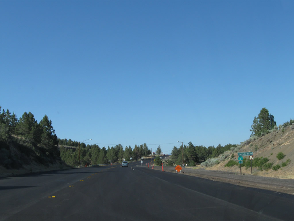
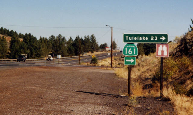
| Continuing north, U.S. 97 passes west of Otey Ridge to intersect the west end of SR 161 (State Line Road) near Indian Tom Lake. 08/02/11 |
|
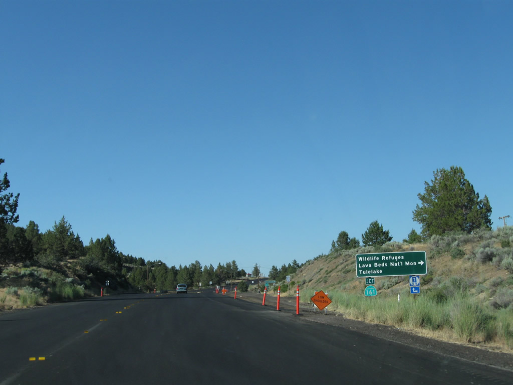
| SR 161 (State Line Road) leads east to connect to SR 139 and Oregon 39 north of Tulelake. This scenic route passes through Lower Klamath National Wildlife Refuge Refuge along the way. 08/02/11, September 2001 |
|
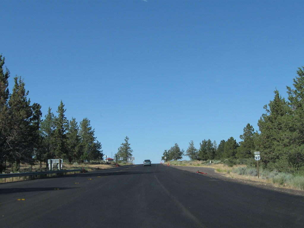
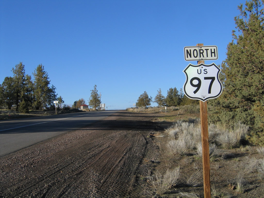
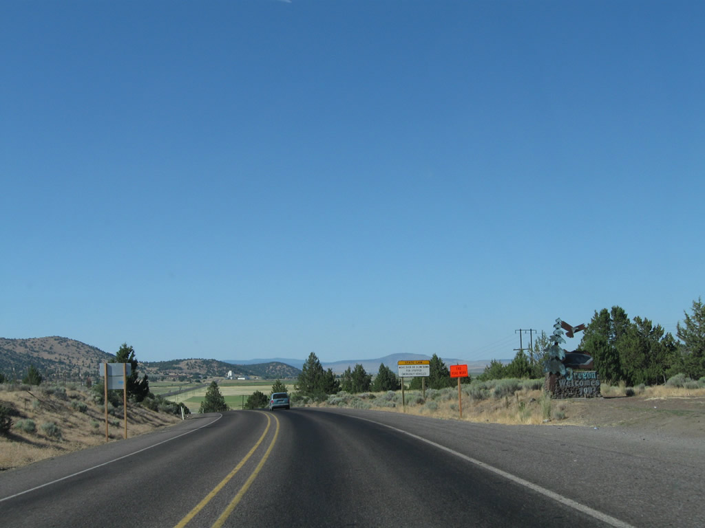
| A final California-style cutout shield for U.S. 97 north stands along the 0.3 mile miles separating SR 161 from the Oregon state line. 08/02/11, 04/01/05 |
|
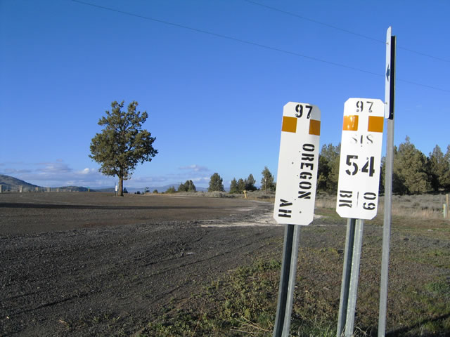
| A set of California post miles mark the state line along U.S. 97. The paddles references "U.S. 97 - Oregon - Ahead" to the left and "U.S. 97 - SIS (Siskiyou), Milepost 54.09 - Back." This is a typical Caltrans District 2 arrangement of post miles at the state line. 04/01/05 |
|
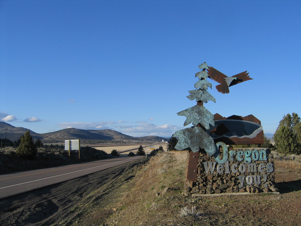
| A welcome monument greets northbound travelers as U.S. 97 enters the Beaver State. The speed limit drops to 55 miles per hour, which is the legal limit for most two lane highways in Oregon as of 2011. 08/02/11, 04/01/05 |
Page Updated 08-24-2017.


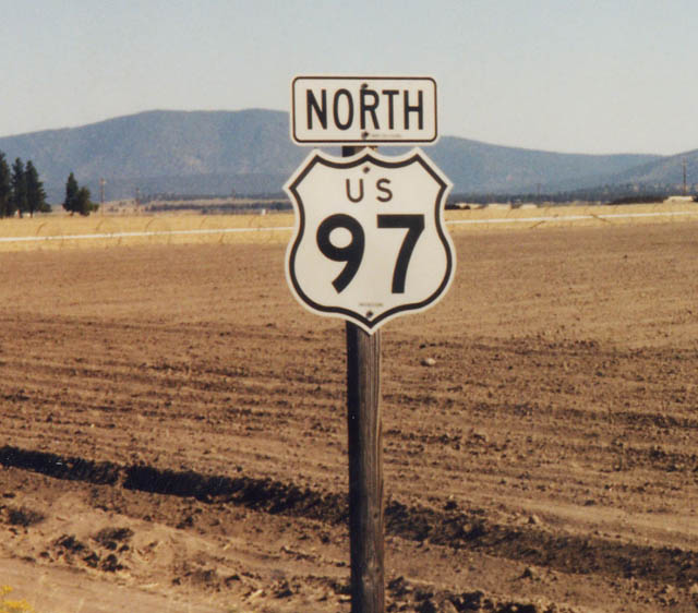
 North
North