|
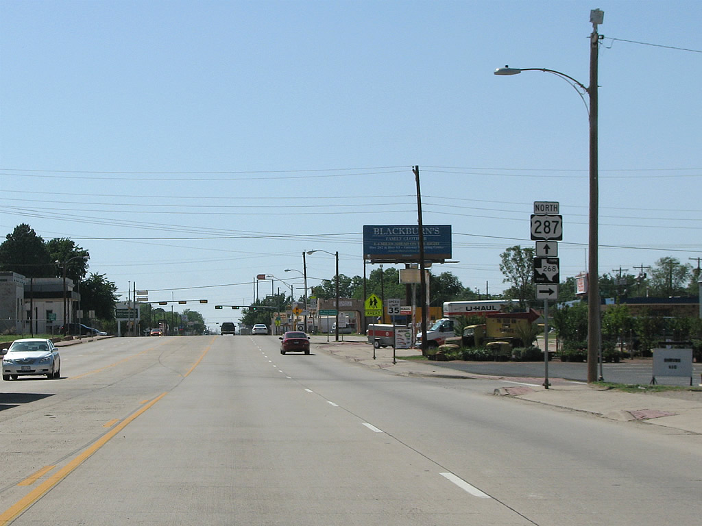
| After Hardeman County, the next town along US 287 is Childress - which is the largest city between Vernon and Amarillo. This view looks northbound along Avenue F at FM 268 (3rd Street), which runs north and east from Childress. 05/24/08 |
|
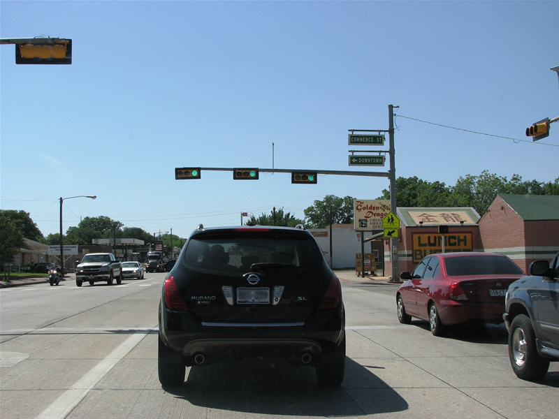
| U.S. 287 (Avenue F) at Commerce Street in Childress. The railroad arrived here in 1887 and the town was named for the author of the Texas Declaration of Independence, George C. Childress. 05/24/08 |
|
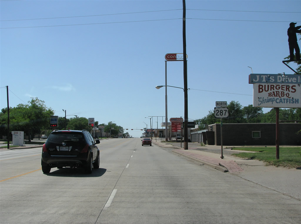
| U.S. 287 through Childress is four lanes with a center turn lane. The street is lined with old motels and typical run down mid-century fare. 05/24/08 |
|
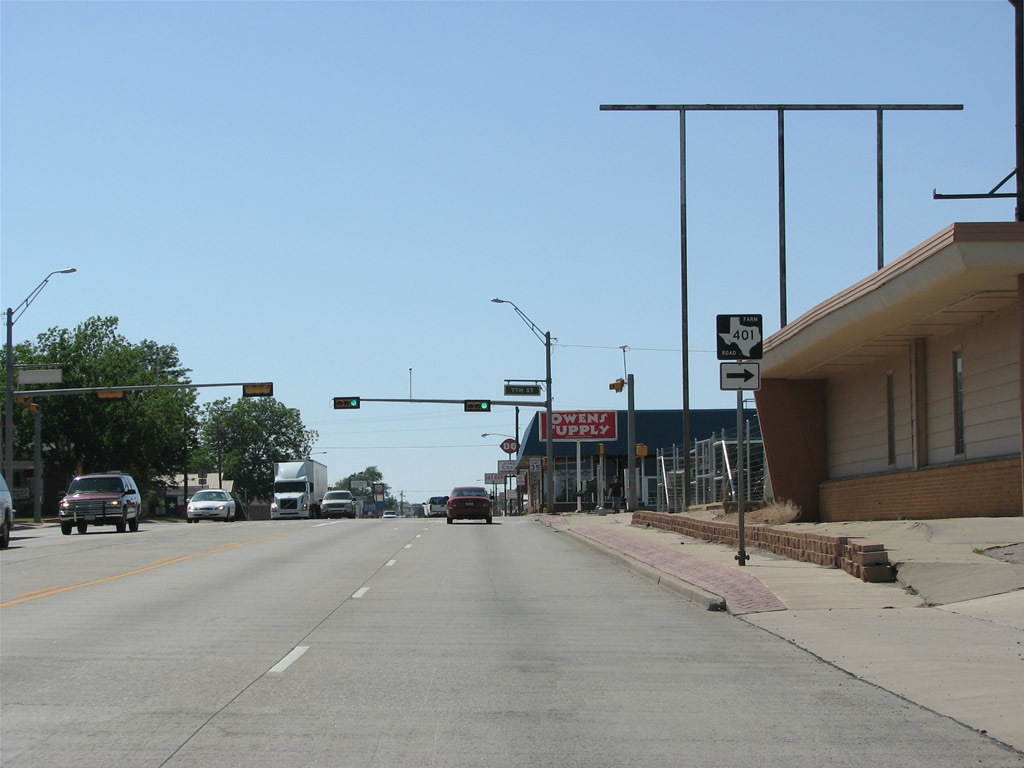
| Childress has a lot of traffic lights as compared to most of U.S. 287 through West Texas. This view looks northbound at FM 401 (7th Street NW), a 1.16 mile connector to FM 3181. 05/24/08 |
|
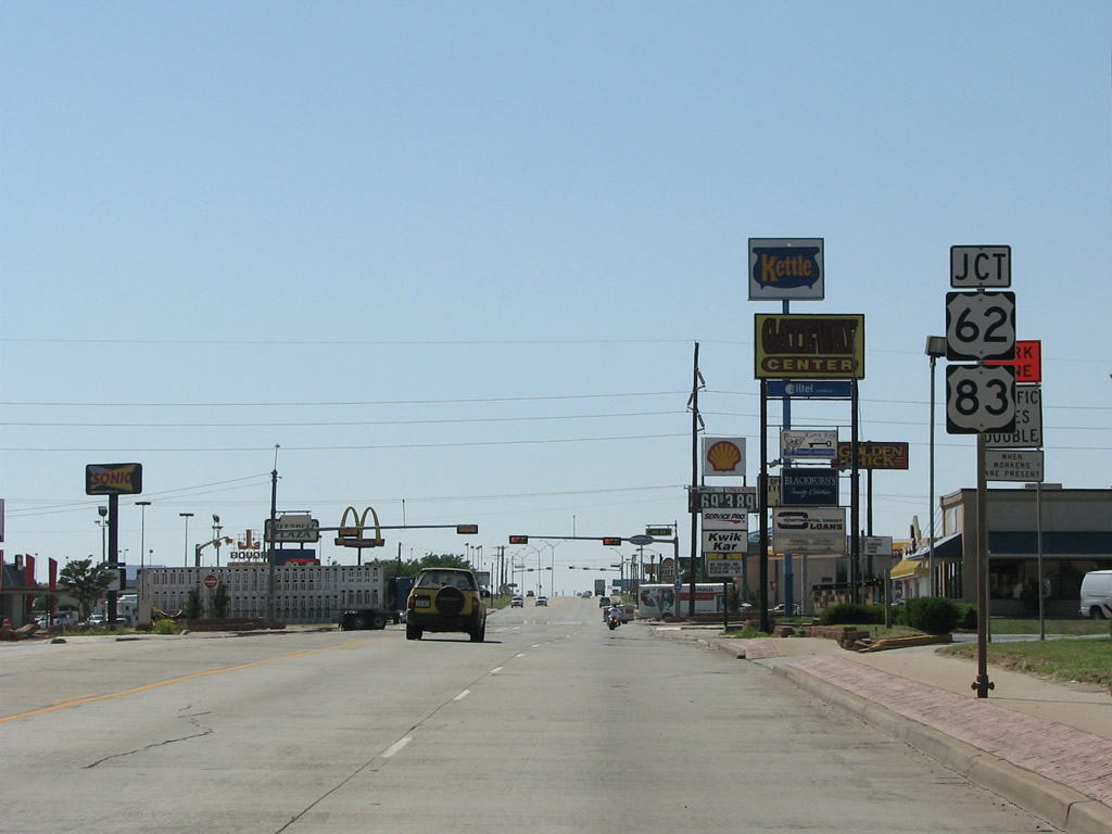
| Joining Childress with Paducah and Wellington, U.S. 62/83 forms the major north/south cross road for the county seat. 05/24/08 |
|
| U.S. 83 is one of the longest US highways in the nation. The 1,885 mile highway connects the Mexican and Canadian borders. U.S. 62 travels over 300 plus miles further, crossing the U.S. from El Paso to Niagara Falls, New York. 05/24/08 |
|
| Beyond Childress, there are very few trees and the land along U.S. 287 opens up with large ranches and occasional herds of antelope. 05/24/08 |
|
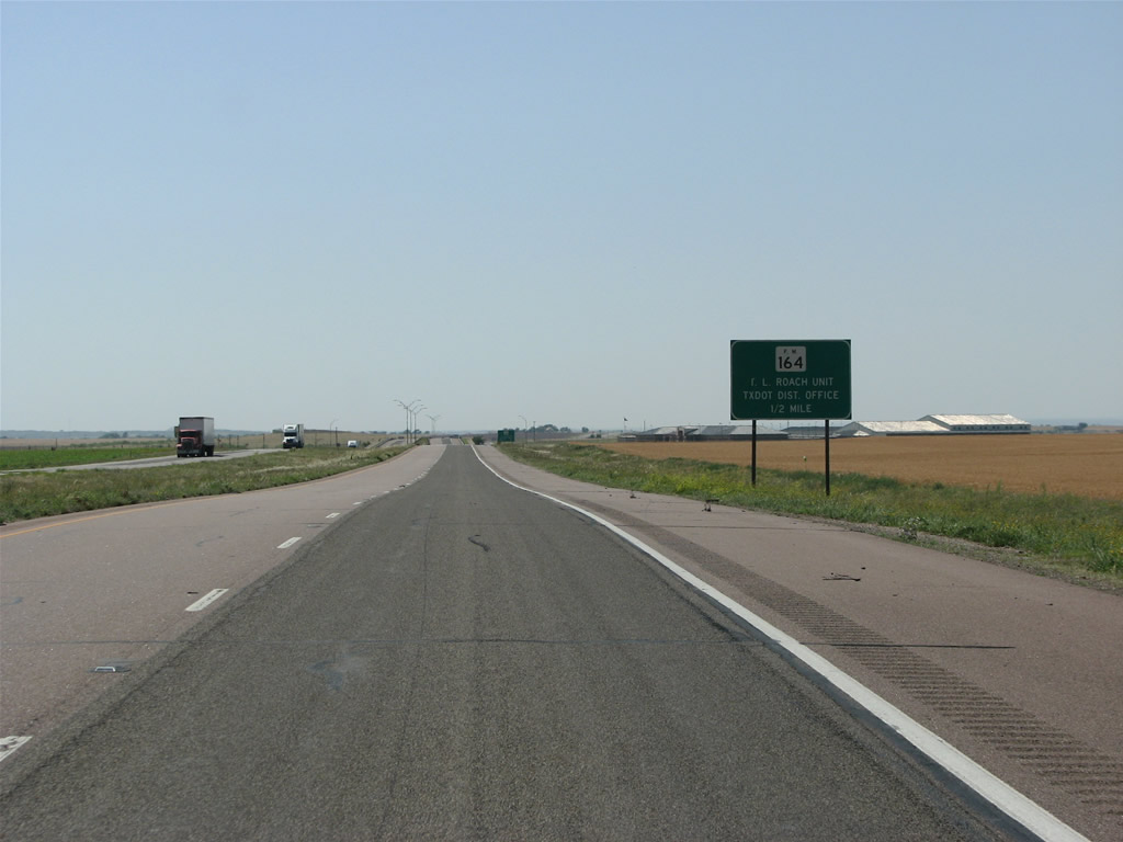
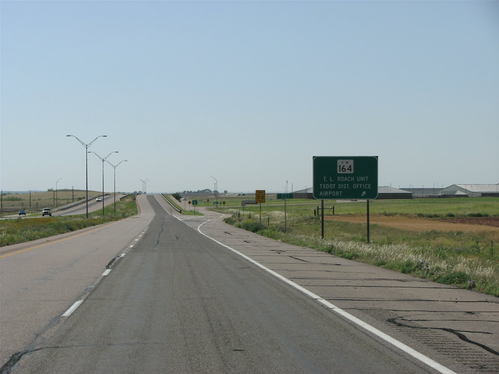
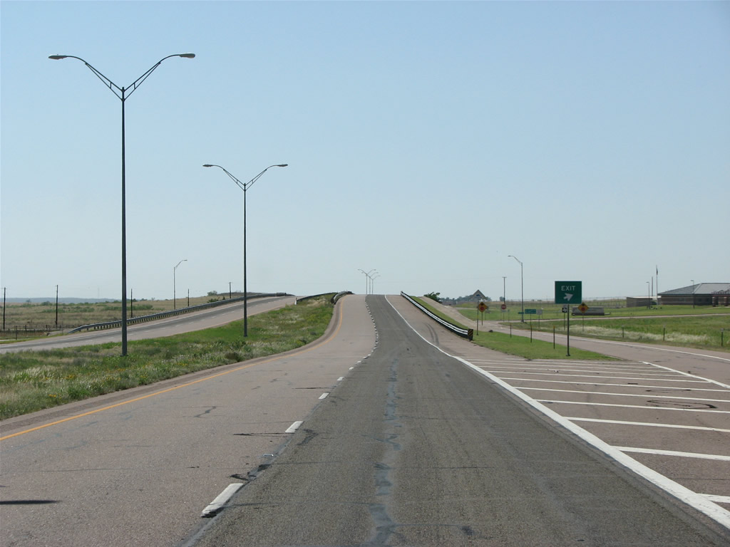
| FM 164 forms the only grade separation in Childress County. The diamond interchange with U.S. 287 sits north of Childress Municipal Airport (CDS). 05/24/08 |
|
| FM 164 loops 6.79 miles back into Childress. A local DOT office lies just to the north from U.S. 287 here along County Road 9. 05/24/08 |
|
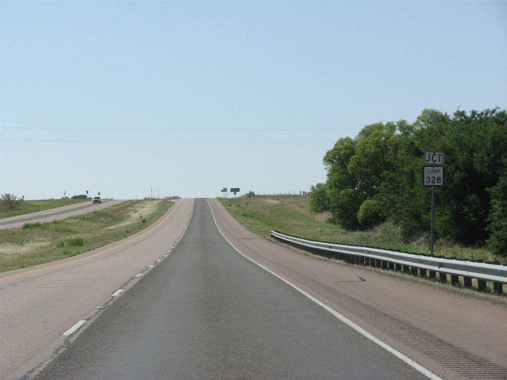
| Loop 328 follows a 2.85 mile long section of old U.S. 287 west from U.S. 287 to the settlement of Carey. Old slab concrete and black center striping were still visible along the route in 2008. 05/24/08 |
|
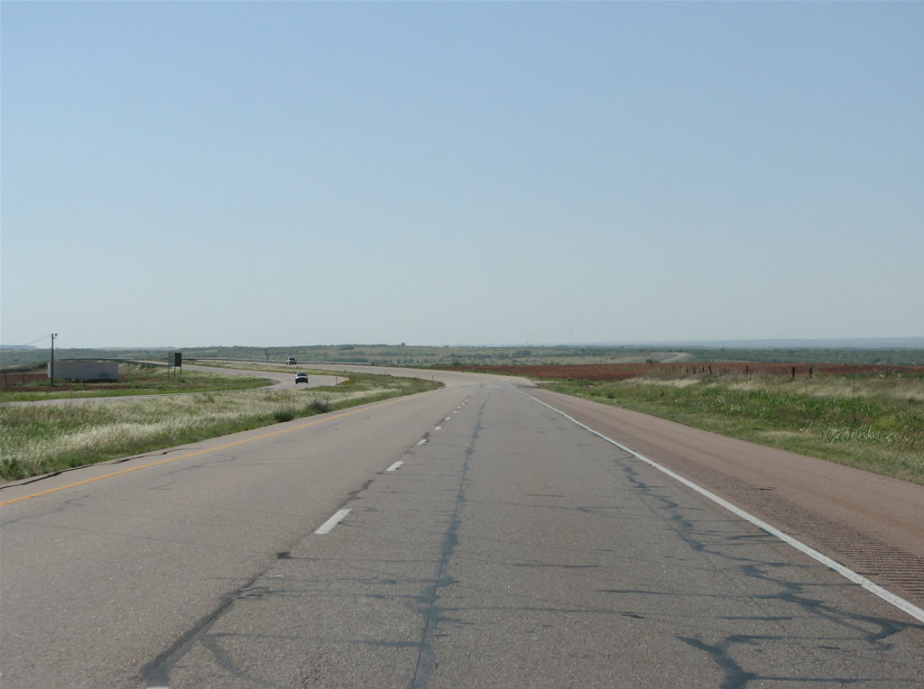
| Western Childress County is open and fairly flat, some elevation is visible to the north in the Red River valley. This is the "crick" of Texas, and the southwestern corner of Oklahoma is nearby. 05/24/08 |
|
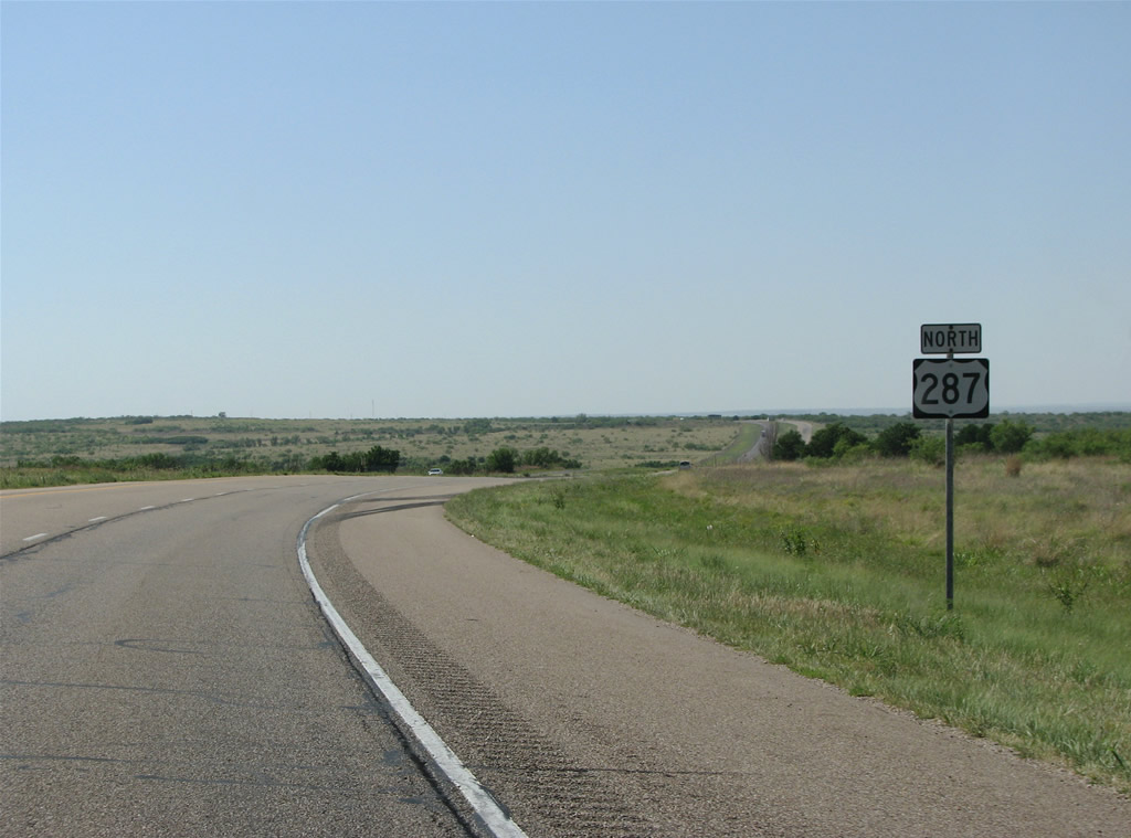
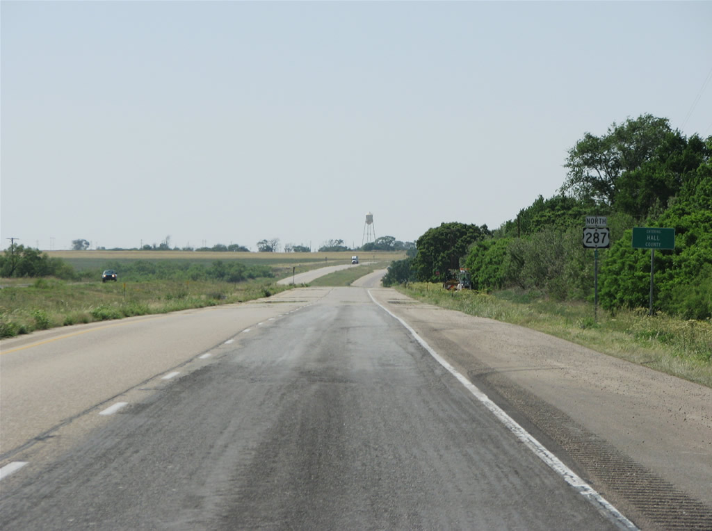
| One of Texas' many square counties, Hall County marks the beginning of the Texas panhandle. It was named for Texas Secretary of War, Warren D. Hall. 05/24/08 |
|
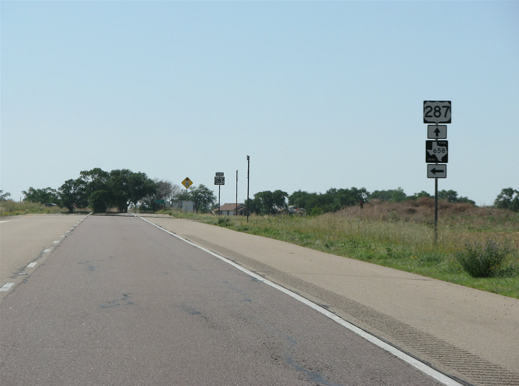
| FM 658 runs 11.14 miles south from U.S. 287 through ranches to FM 94. 05/24/08 |
|
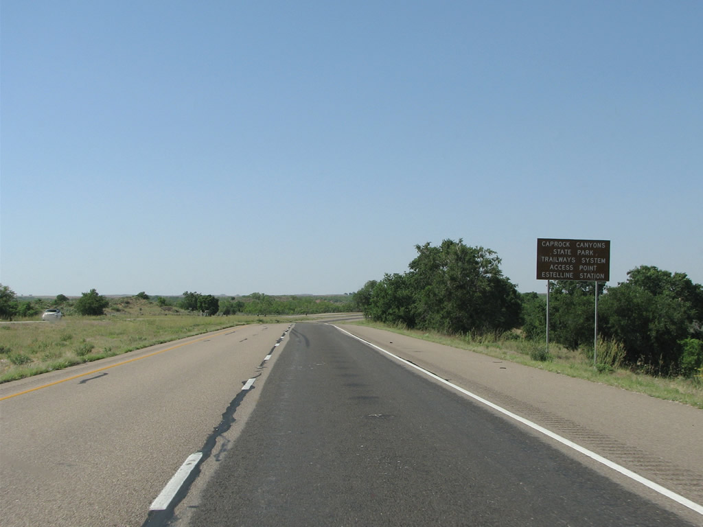
| The gateway to the Caprock Canyons and the old Texas railway, Estelline is the first town along U.S. 287 northbound in Hall County. It is also a speed trap. 05/24/08 |
|
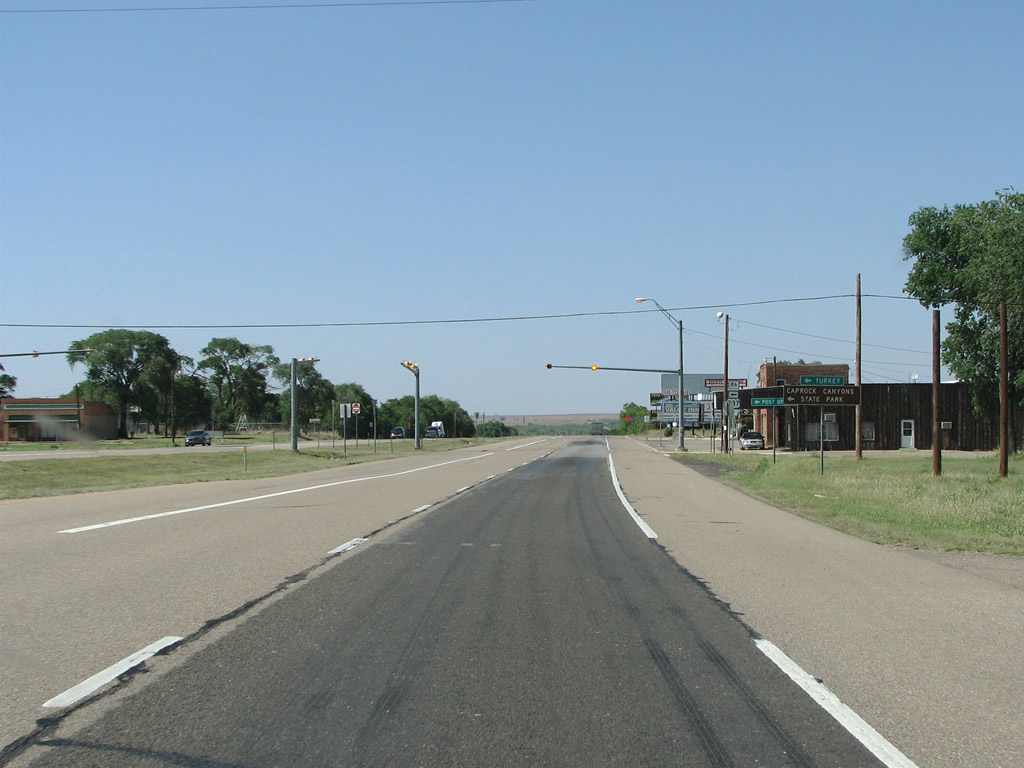
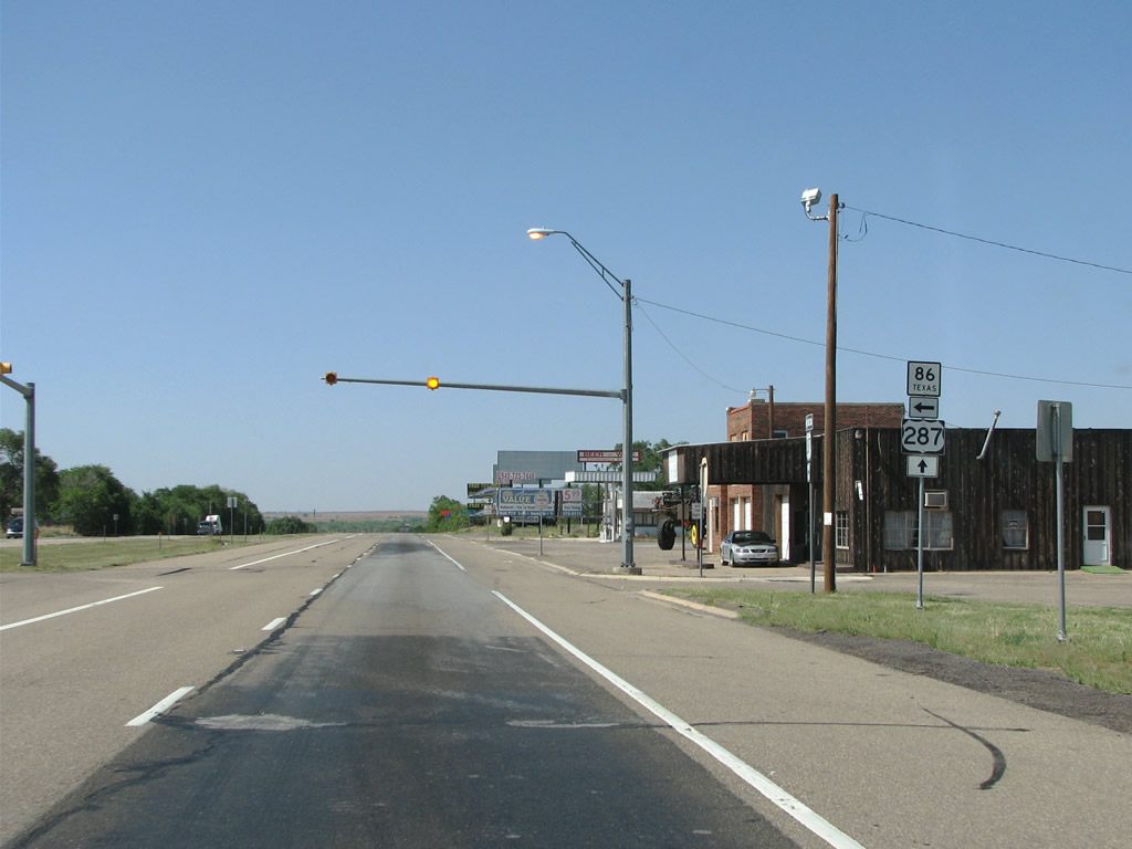
| SH 86 ventures west to Turkey from Estelline, which was named for the daughter of an early settler. The town once had a population of over 1,000 but only around 145 lived there in 2010. 05/24/08 |
|
| The Estelline Trailhead for the Caprock Trailway leading west to Caprock Canyons State Park lies just north of town. The canyon forms the eastern end of the caprock and has a maximum relief of about 1,000 feet. 05/24/08 |
|
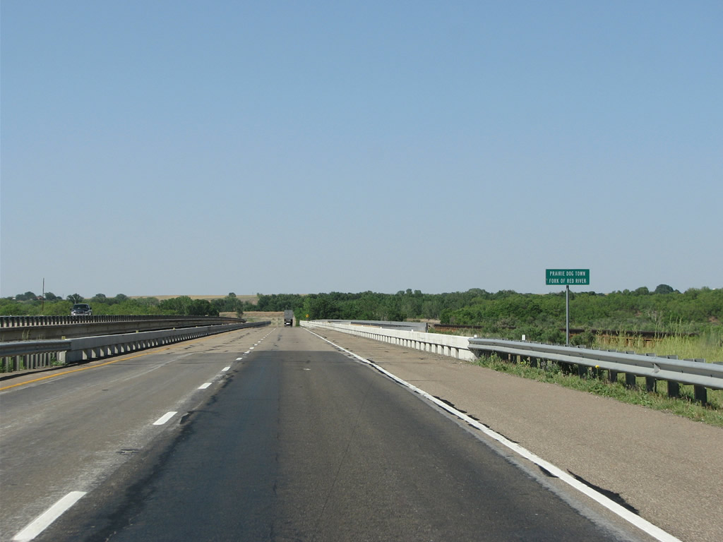
| U.S. 287 crosses the Prairie Dog Town fork of the Red River, or the southern branch. Just a bit further east, the river forms the border of Texas and Oklahoma. Generally at Estelline, it is totally dry. 05/24/08 |
|
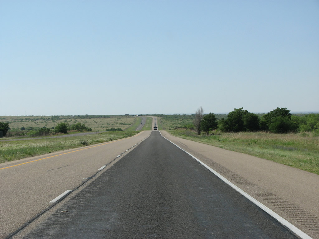
| Continuing north past FM 1619 toward Memphis along U.S. 287 near County Road E. 05/24/08 |
|
| Some of the caprock becomes visible to the northwest beyond Memphis. 05/24/08 |
|
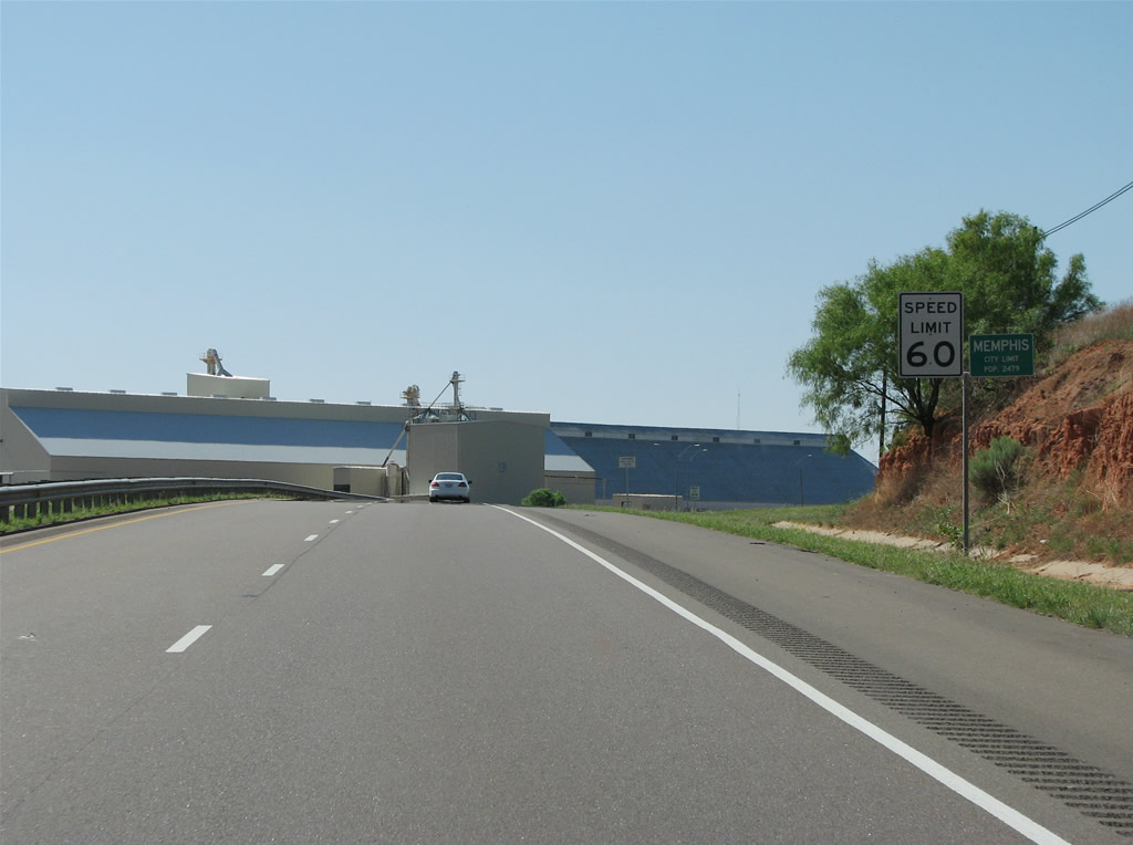
| Crossing Parker Creek, U.S. 287 enters the Hall County seat of Memphis. Legend says that the city got its name when a local reverend saw a letter accidentally addressed to Memphis, Texas instead of Tennessee. He found it to be a pleasant name, and the townsite was built in 1890. 05/24/08 |
|
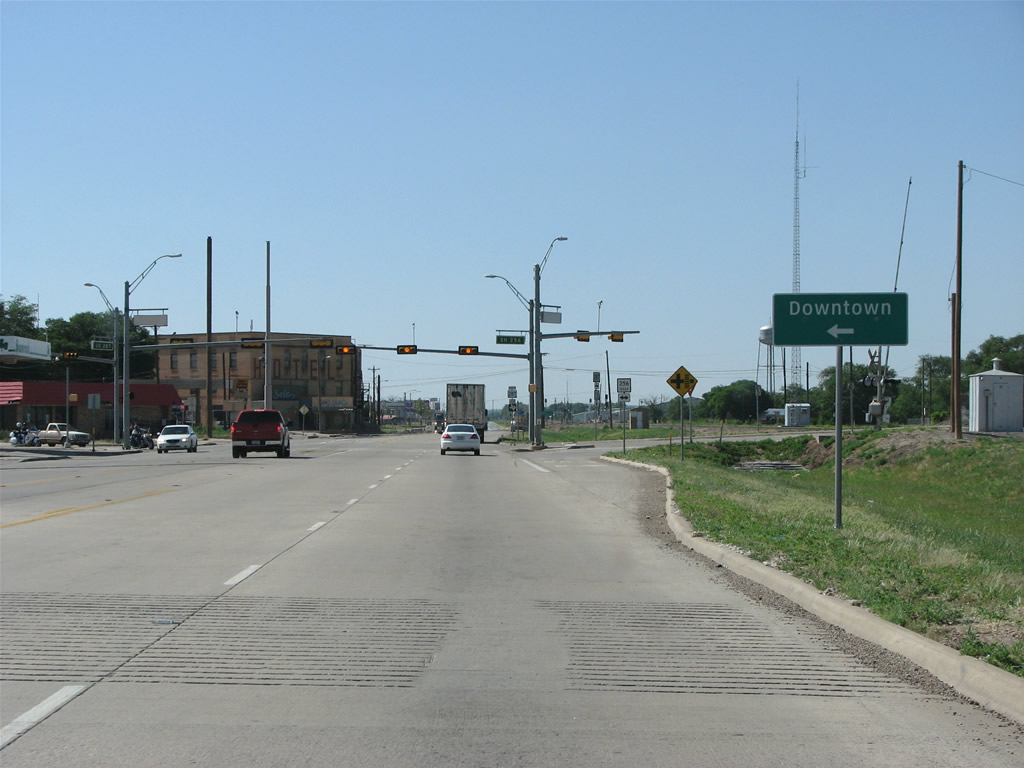
| Memphis's has steadily declined from around 2500 in 2000 to an estimated 2,137 in 2016. Located west of U.S. 287 along SH 258 (Noel Street) Downtown is somewhat abandoned. 05/24/08 |
|
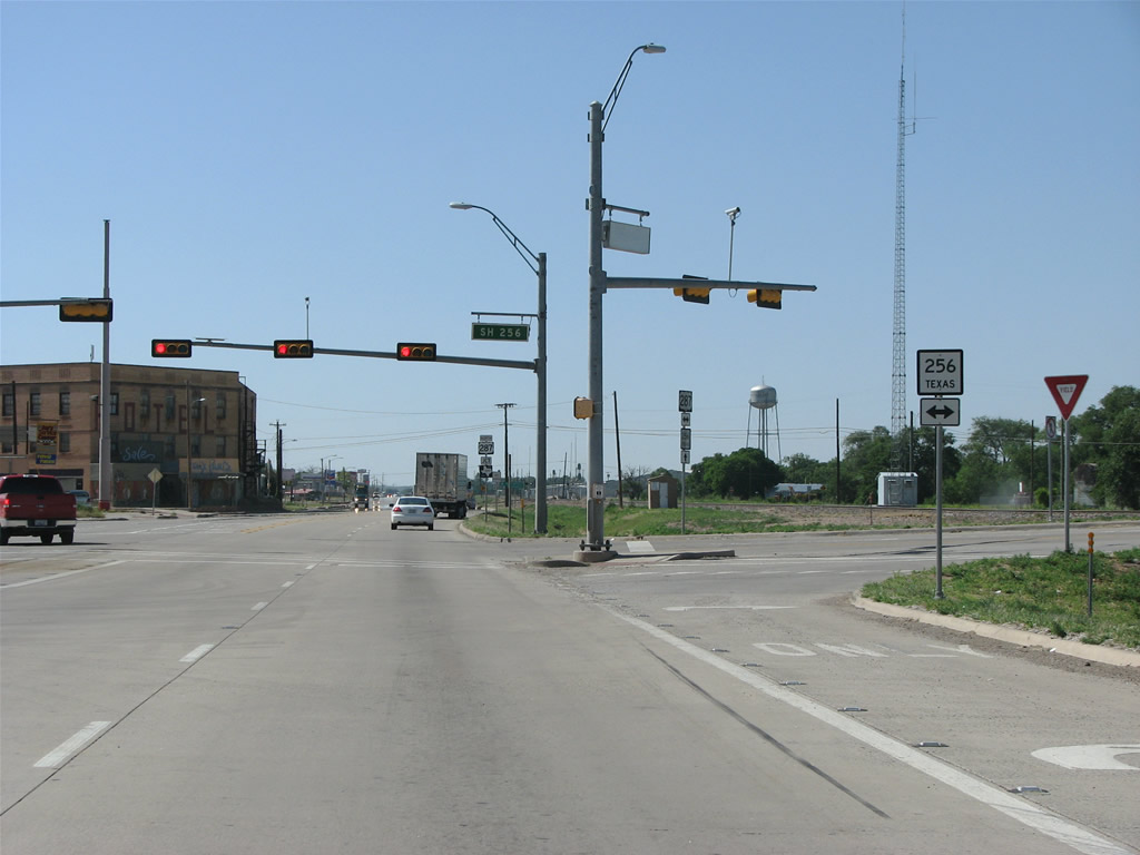
| SH 256 constitutes a 72.31 mile long highway eastward to U.S. 83 and west to Lakeview and south alongside SH 70 toward Caprock Canyon State Park and SH 86 near Silverton. 05/24/08 |
|
| Memphis is located in the extreme northeastern side of Hall County. The BNSF Railroad parallels U.S. 287 through town, separating the cattle loaders to the east from the bulk of the street grid to the west. 05/24/08 |
|
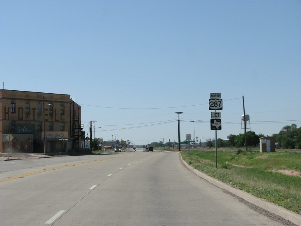
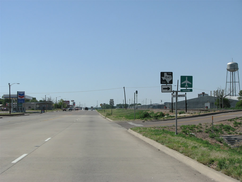
| FM 1547 (Montgomery Street) stems northeast through the local industrial areas to Memphis Municipal Airport (F21) and Quail. 05/24/08 |
|
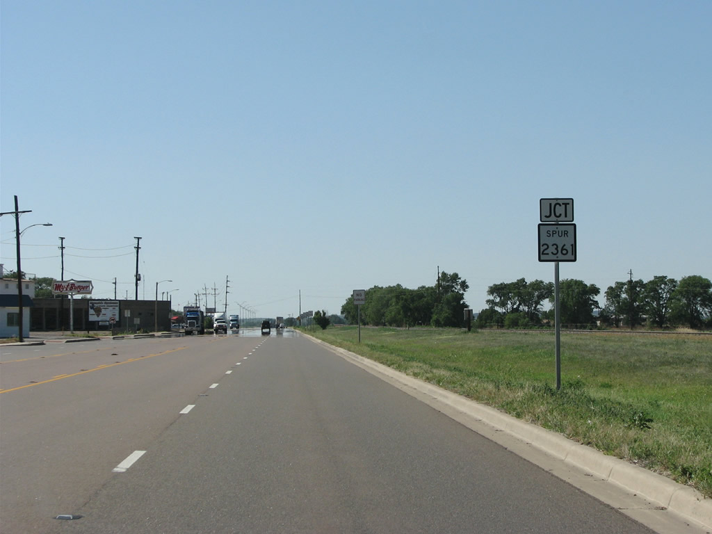
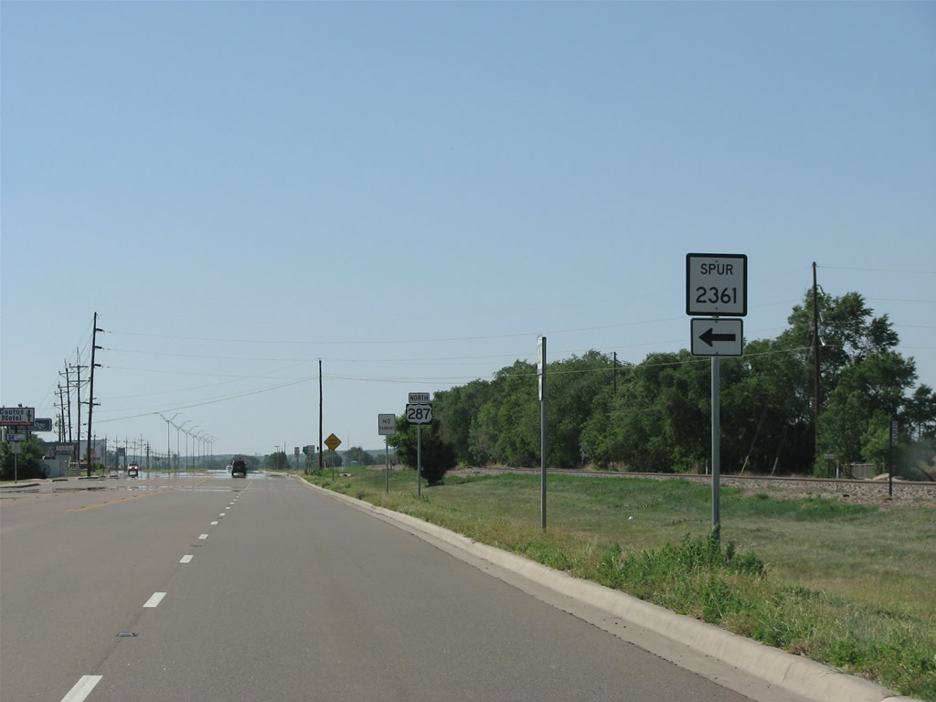
| FM Spur 2361 forms a 0.536 mile link along Peach Street west and 16th Street south from U.S. 287 to FM 2361 at Grundy Street in Memphis. 05/24/08 |
|
| FM 2361 extends 16th Street south from FM Spur 2361 and Grundy Street to SH 256 (Noel Street). FM 2361 spurs 7.09 miles west from Hall County to CR 211. 05/24/08 |
Page Updated 07-11-2019.

 North
North