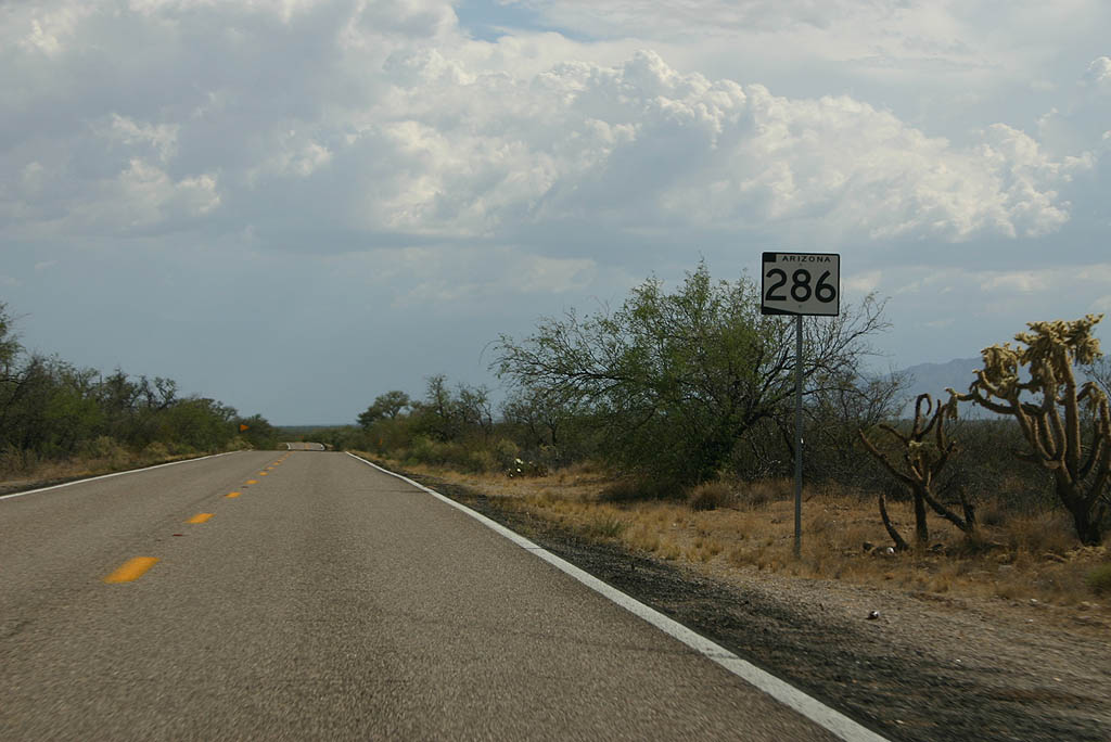
Arizona 286 is a fairly remote road that leads from Arizona 86 at Three Points/Robles Jct west of Tucson down to the border town of Sasabe. The road was added to the state highway system in 1955, but not completely paved until 1982.
The highway begins at the border crossing at Sasabe, which is unique for the lack of paved roads on the Mexican
side of the crossing. As a result, traffic is very light across the border crossing.
|
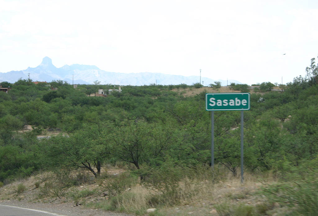
| SR 286 begins at the Sasabe Border Crossing
and immediately travels north into the unincorporated
town of Sasabe (population around 30). 07/04/08 |
|
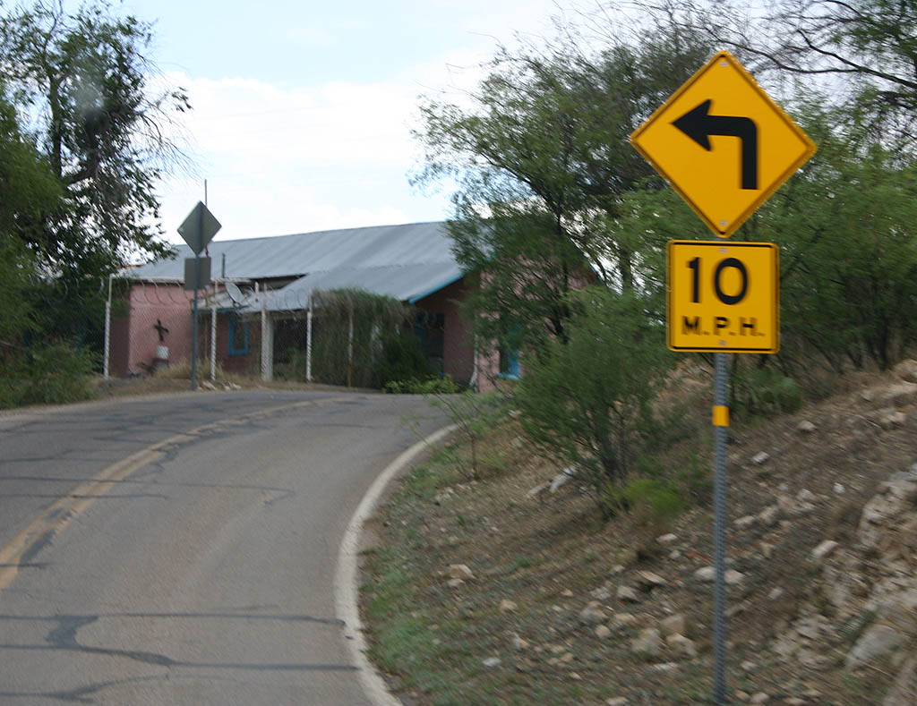
| A sharp left turn leads into the actual town,
which consists of around 2 blocks of buildings along
the road. 07/04/08 |
|
| Leaving Sasabe, SR 286 enters the wide Altar
valley, which the road will traverse the entire
way to Three Points/Robles Junction. 07/04/08 |
|
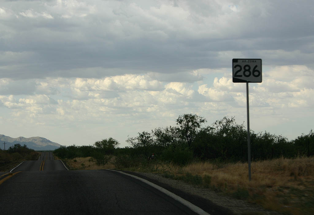
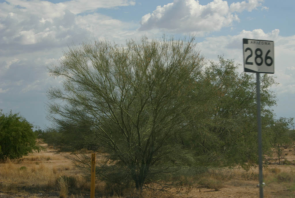
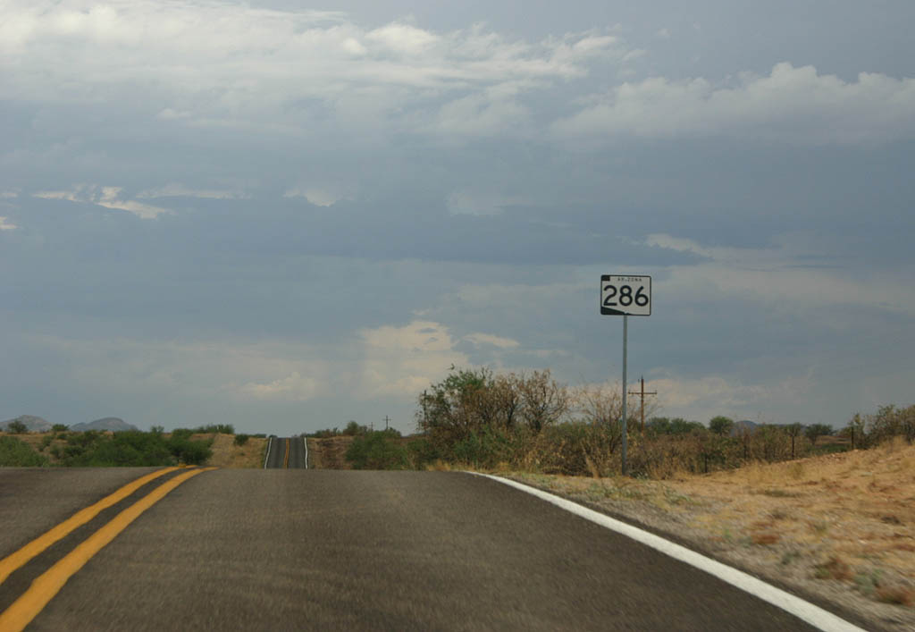
| Reassurance marker for SR 286. None of the
reassurance markers on the road have cardinal directions. 07/04/08 |
|
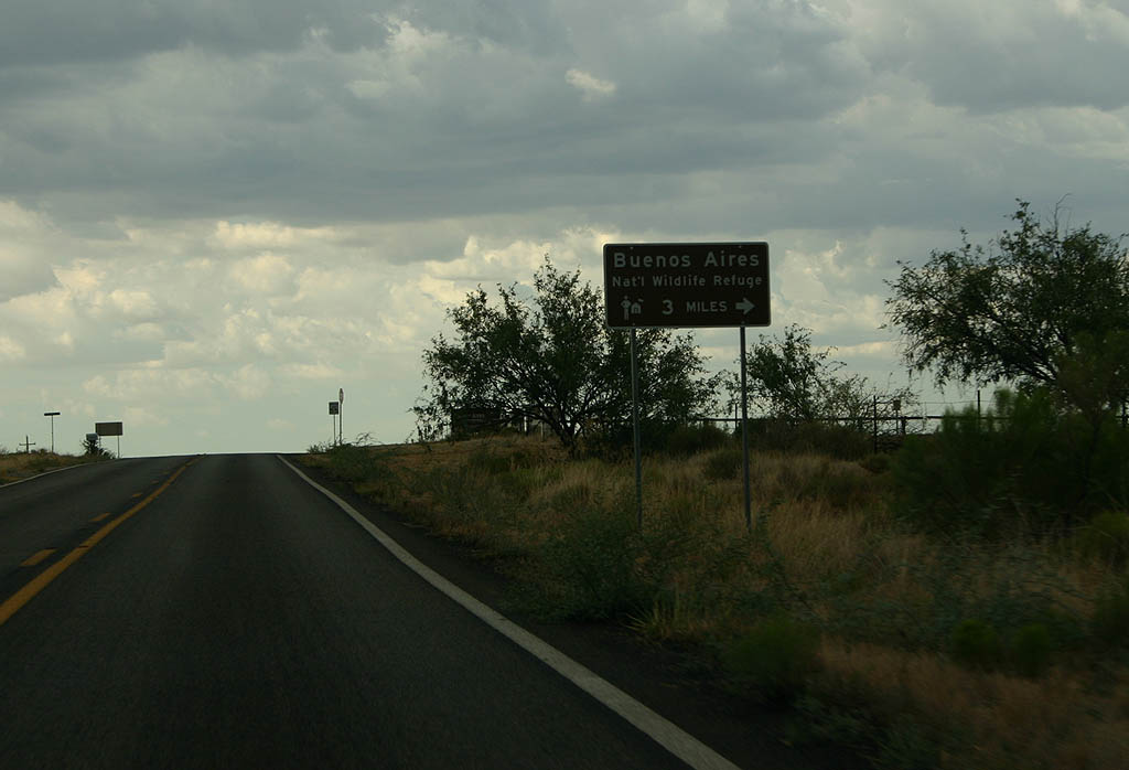
| SR 286 passes through Buenos Aires National Wildlife Refuge. The refuge was established to allow native grasslands to reestablish themselves in the valley. 07/04/08 |
|
| SR 286 meets Arivaca Road here. Turn right
to reach the town of Arivaca (12 miles away), or
to travel to Interstate 19 (43 miles away). 07/04/08 |
|
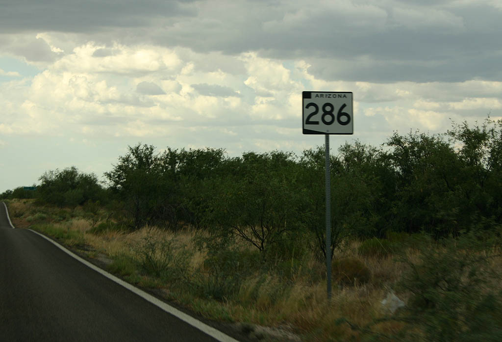
| Reassurance marker for SR 286, north of Arivaca
Road. 07/04/08 |
|
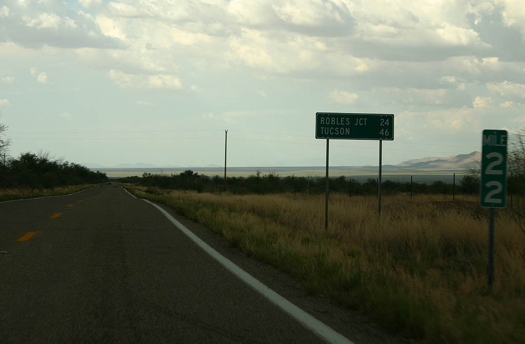
| Distance sign to Robles Junction (24
miles) and Tucson (46 miles). 07/04/08 |
|
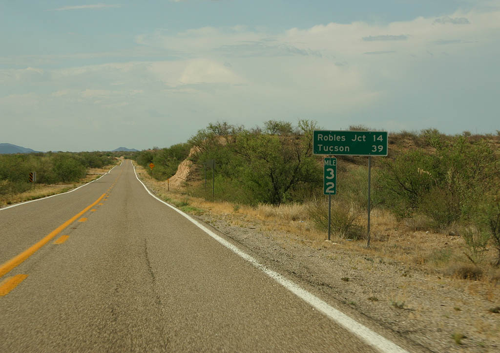
| Distance sign to Robles Junction (14 miles) and
Tucson (39 miles). Interesting how Tucson is only
7 miles shorter despite 10 miles of highway travel. 07/04/08 |
|
| This is the final reassurance marker along northbound
SR 286. 07/04/08 |
|
| SR 286 meets Diamond Bell Ranch Road. The
road is getting closer to Robles Junction. 07/04/08 |
|
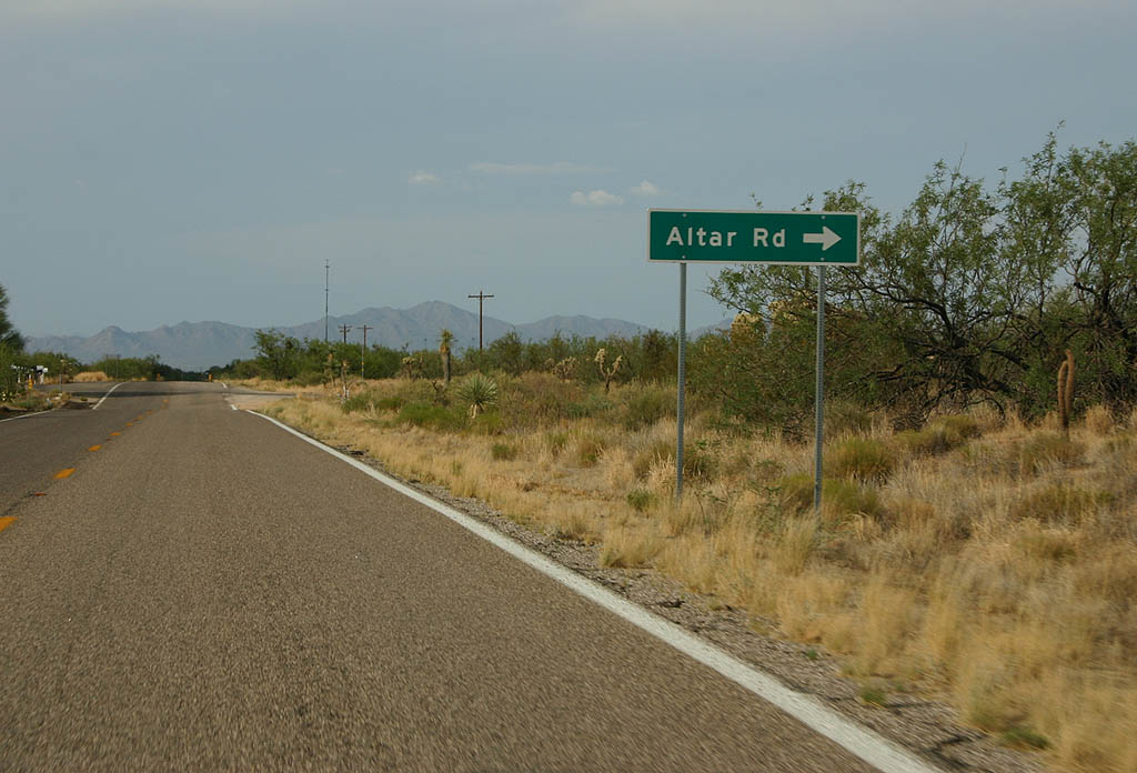
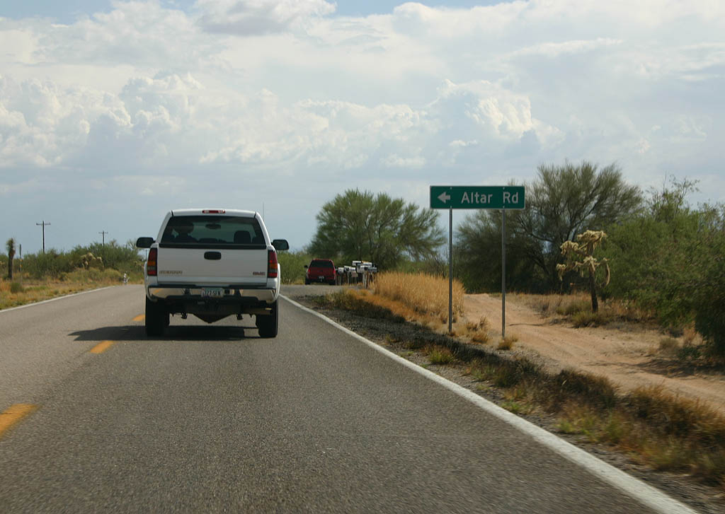
| SR 286 meets Altar Road here. Altar Road
is named after the valley that SR 286 travels
through, which is named for a mountain that Father
Kino felt looked like an altar. 07/04/08 |
|
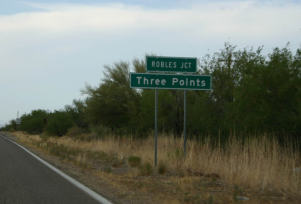
| SR 286 meets Three Points/Robles Junction
here. 07/04/08 |
|
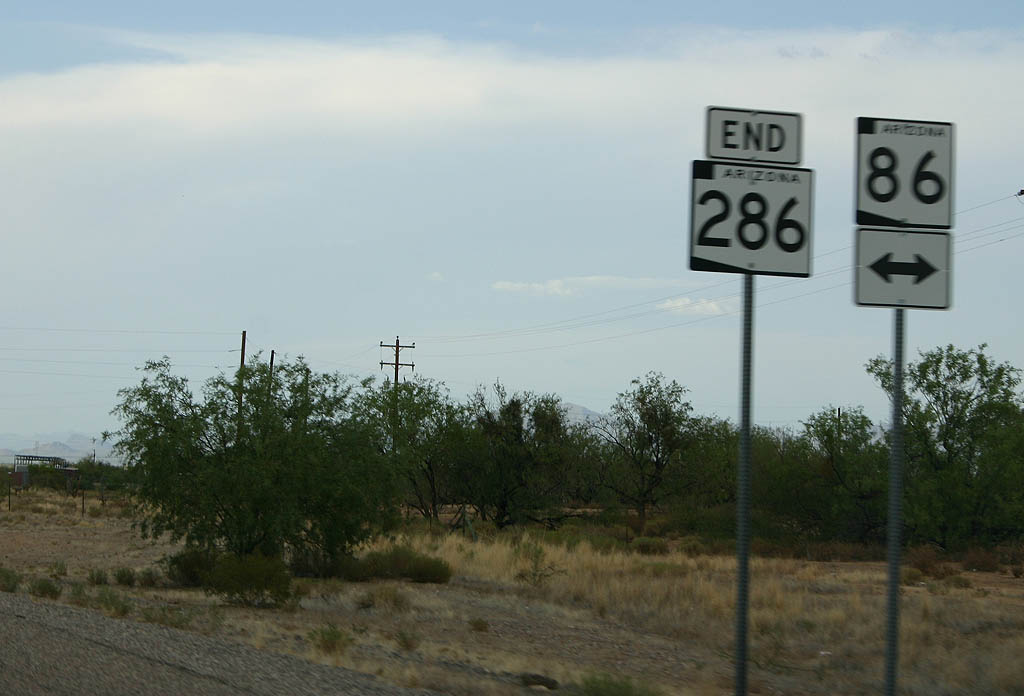
| SR 286 ends at SR 86 at Three Points/Robles
Junction. Robles Junction is named for pioneer rancher
B. Robles. 07/04/08 |
|
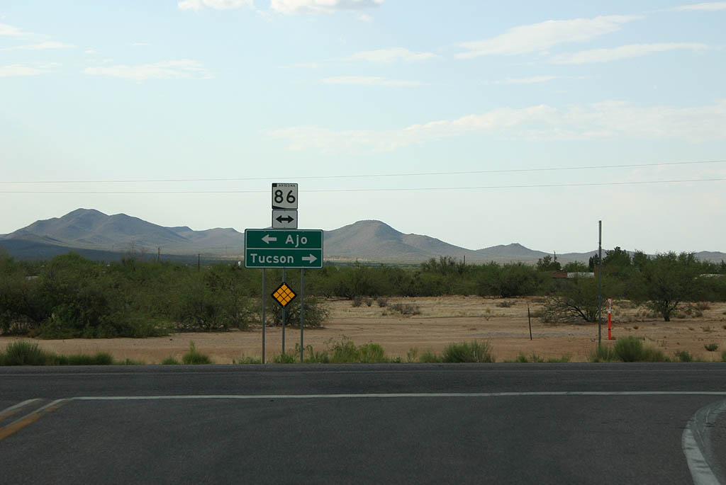
| Turn left to reach Ajo, or turn right for Tucson. 07/04/08 |
|
| SR 286 begins at SR 86 in Robles Junction/Three
Points. 07/04/08 |
|
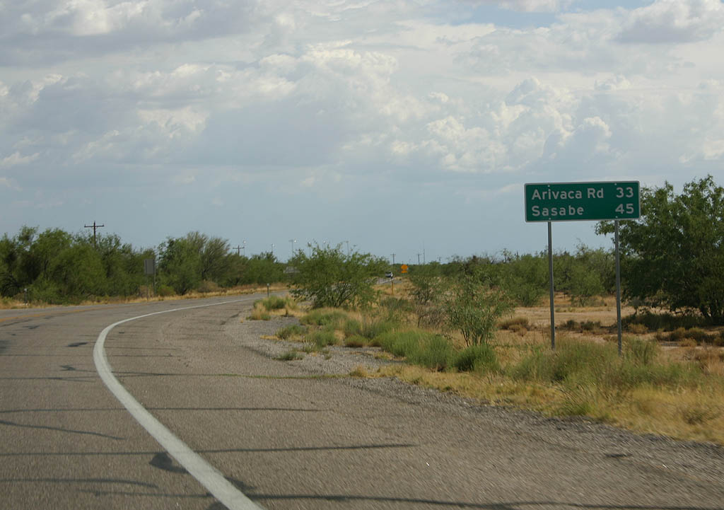
| Distance sign to Arivaca Road (33 miles) and Sasabe
(45 miles). These are the only two control points
along SR 286. 07/04/08 |
|
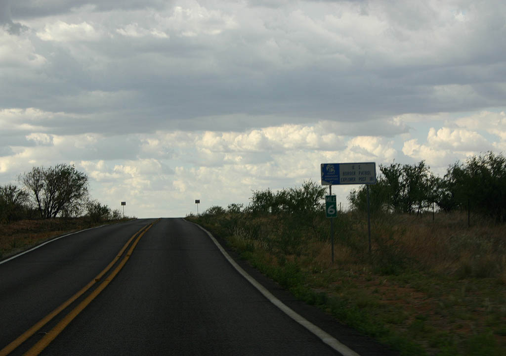
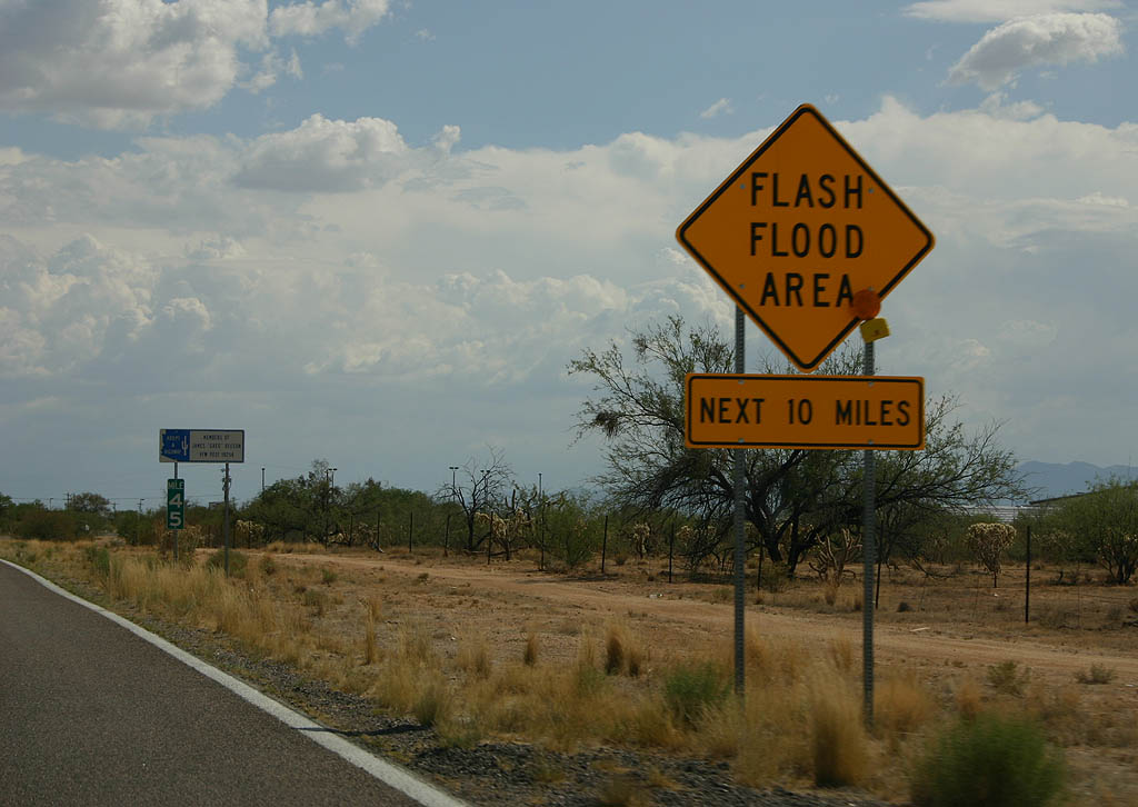
| SR 286 is subject to flash flooding over most of its length. 07/04/08 |
|
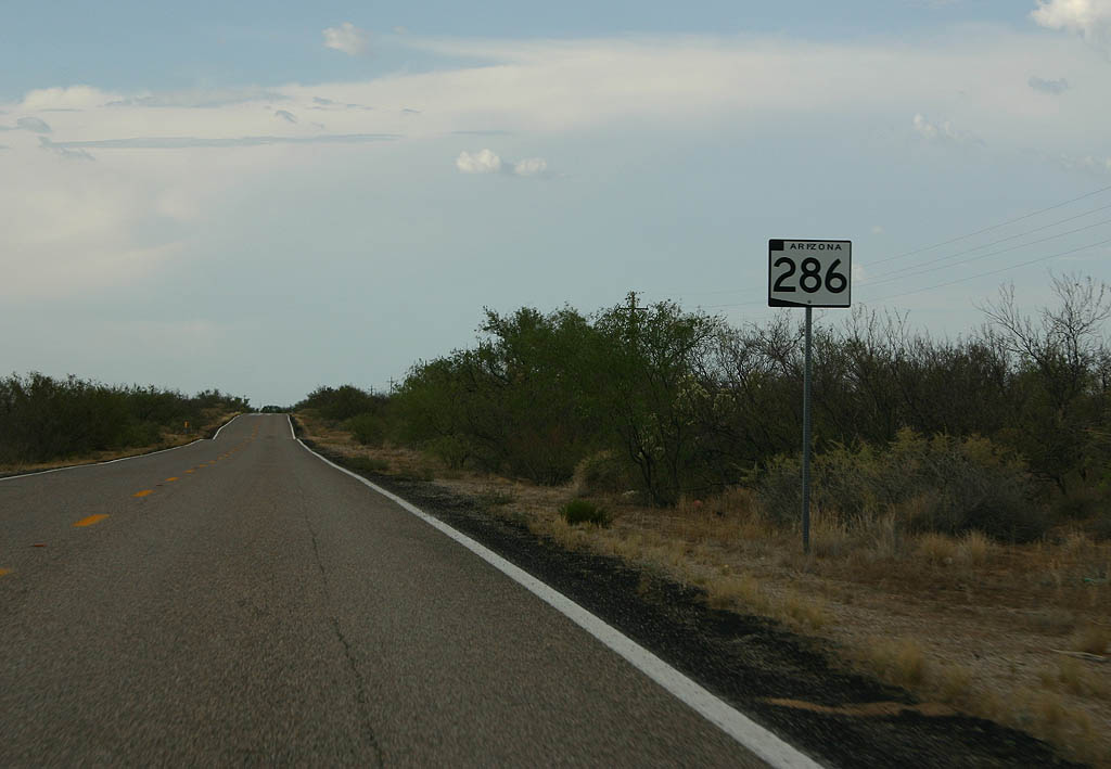
| SR 286 meets Altar Road here. 07/04/08 |
|
| Reassurance marker for SR 286 southbound. 07/04/08 |
|
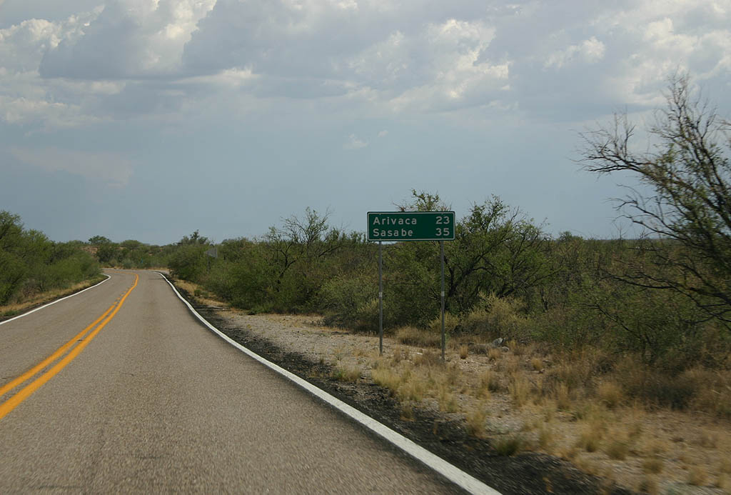
| Distance sign to Arivaca (23 miles) and Sasabe
(35 miles). 07/04/08 |
|
| SR 286 crosses Altar Wash here. 07/04/08 |
|
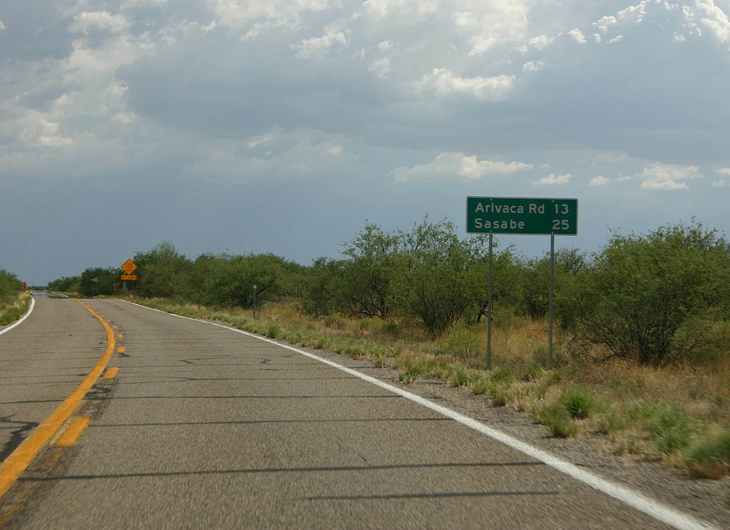
| Distance sign to Arivaca Road (13 miles) and Sasabe
(25 miles). 07/04/08 |
|
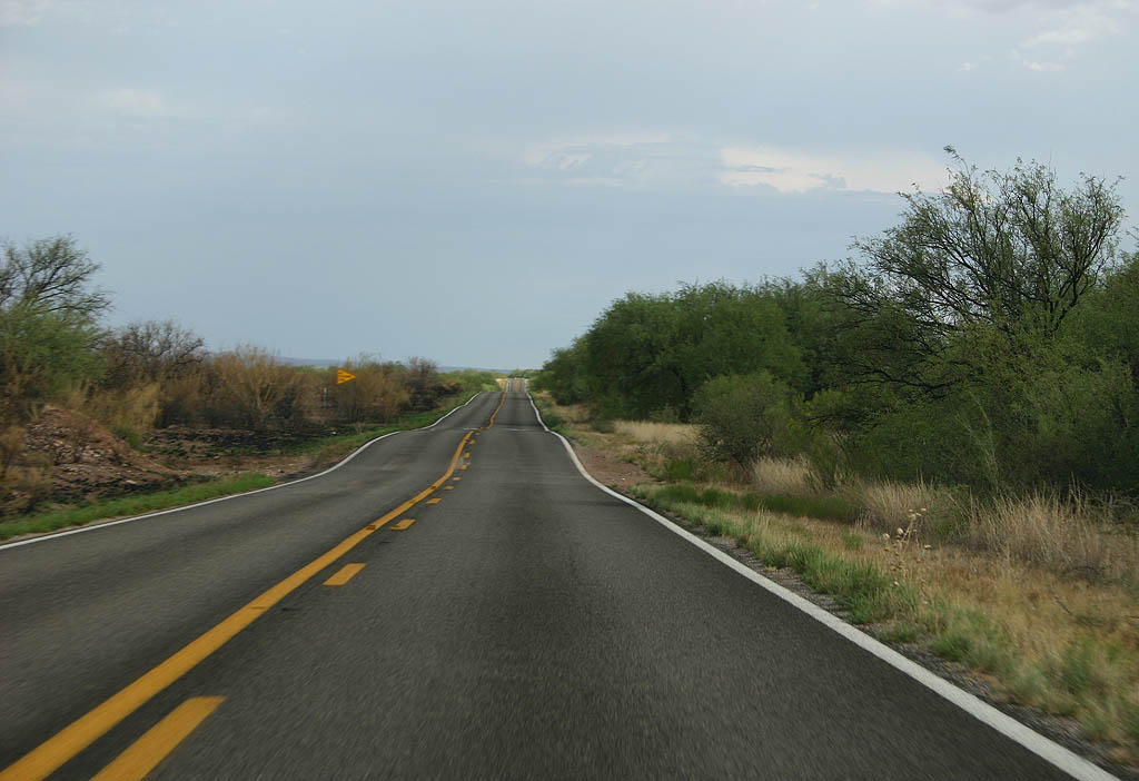
| SR 286 passes through the Buenos Aires National
Wildlife Refuge. The vegetation gets more dense
as the road enters the refuge. 07/04/08 |
|
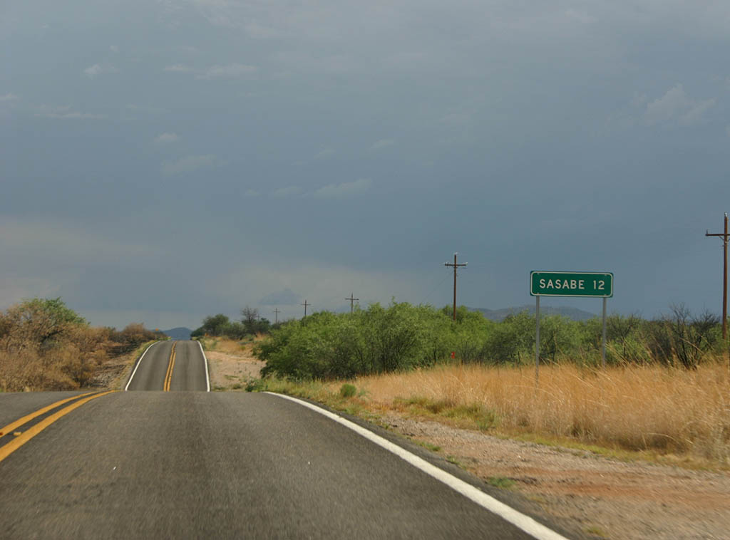
| South of Arivaca Road, we see this distance sign
for Sasabe, 12 miles. 07/04/08 |
|
| This is the last reassurance marker along Southbound
SR 286. 07/04/08 |
|
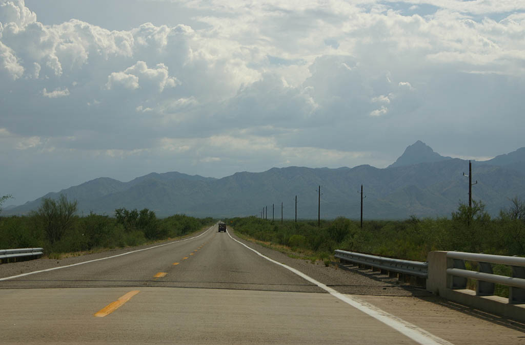
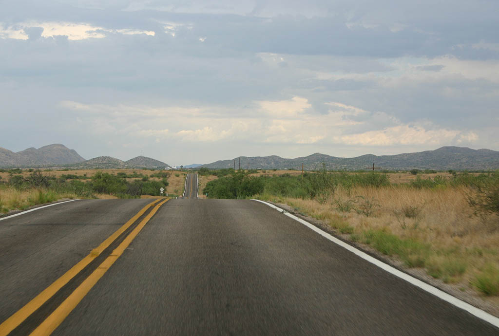
| SR 286 approaches the town of Sasabe and
the Mexican border. The mountains in the distance
are in Mexico. 07/04/08 |
|
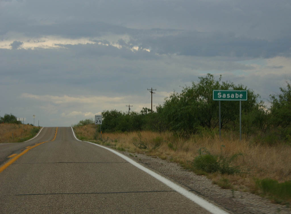
| SR 286 enters the town of Sasabe here. Sasabe
is an unincorporated town in Pima county. 07/04/08 |
|
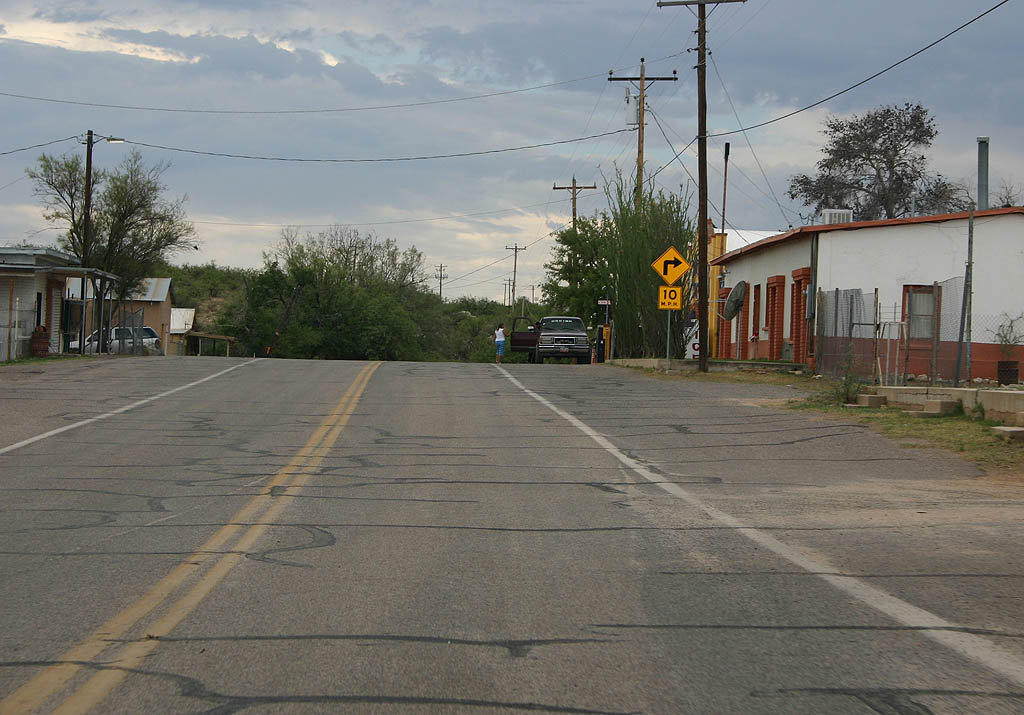
| Sasabe is named for either a Papago or Mexican resident of the area. The town is a small town, with one store (located on the right side of the photo). SR 286 does a hard right turn at the end of the populated section. 07/04/08 |
|
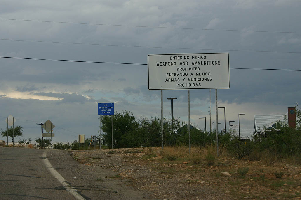
| SR 286 ends at the Mexican Border. In the
background of this sign, you can see the buildings
that comprise the border crossing. The crossing
is only open from 8 AM to 8 PM. 07/04/08 |
Page Updated 07-07-2008.