Nevada State Route 773 circumvents the Volcanic Hills between SR 264 (Dicalite Cutoff) to U.S. 6 in northwest Esmeralda County. The 10.49 mile long highway provides a cutoff between U.S. 6 and U.S. 95 from Coaldale to SR 264 leading south across Fish Lake Valley to Dyer and Oasis, California.
SR 773 was originally numbered as Nevada State Route 3A. SR 3A extended south along what is now SR 264 to the California state line.
|
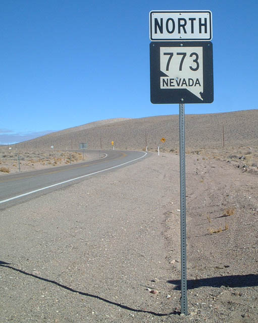
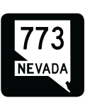
| Appearing just beyond SR 264, this is the first reassurance shield for SR 773 northbound. 01/19/02 |
|
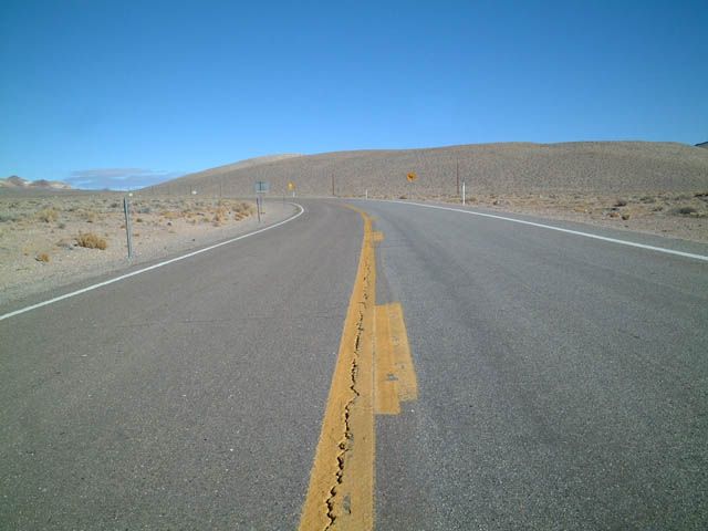
| SR 773 proceeds northeast through sparsely populated Esmeralda County around the Volcanic Hills toward U.S. 6. 01/19/02 |
|
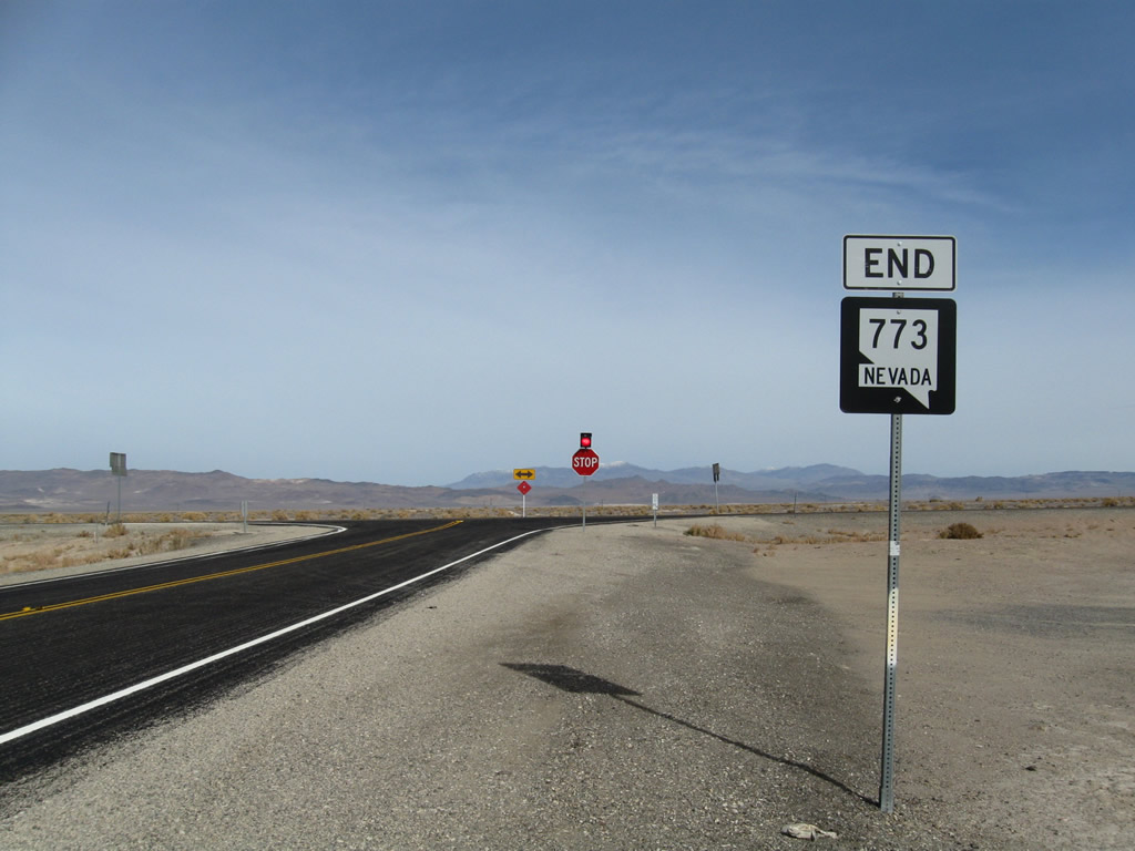
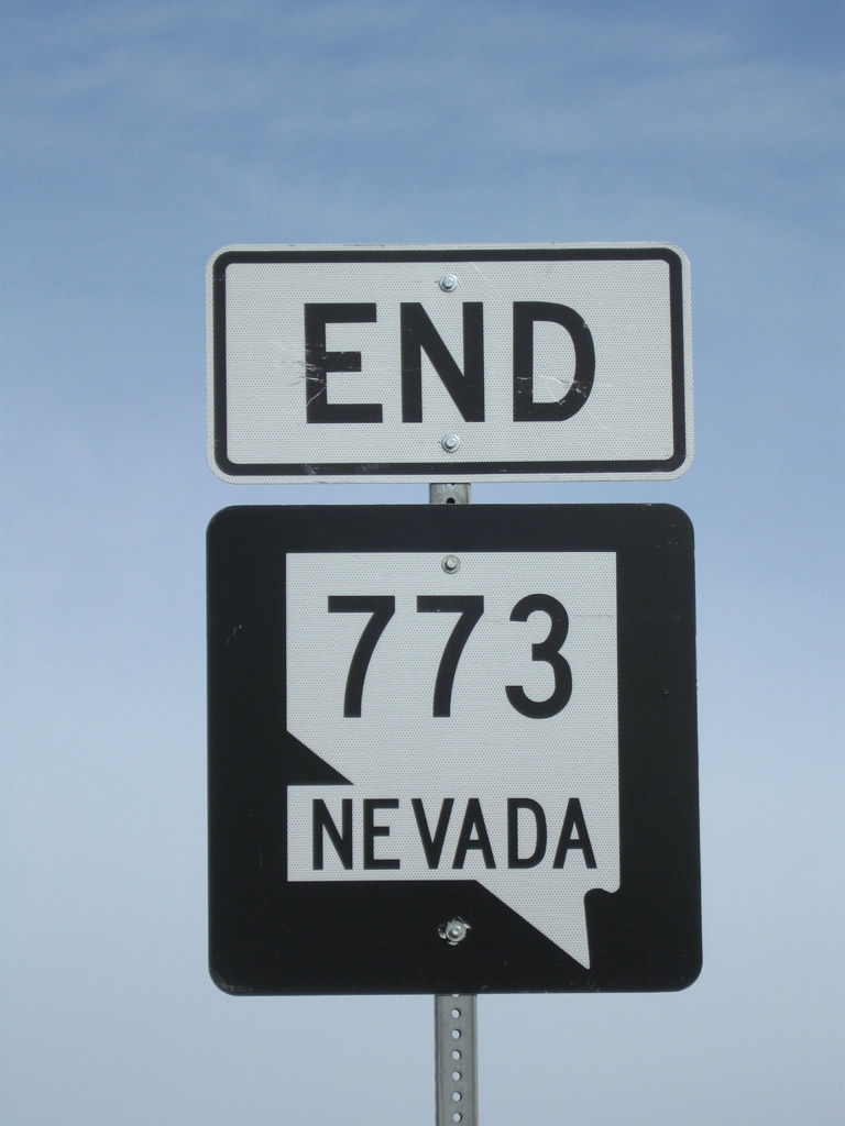
| An end shield for SR 773 precedes the intersection with U.S. 6 west of Coaldale Junction. 11/11/08 |
|
| U.S. 6 travels east from SR 773 to Coaldale Junction, where it combines with U.S. 95 south to Tonopah. U.S. 6 (Grand Army of the Republic Highway) heads west to Bishop, California via Montgomery Pass and Benton. 11/11/08 |
|
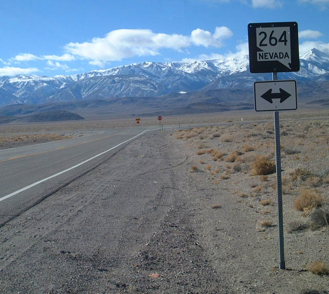
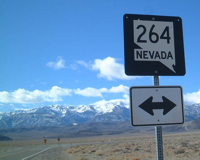
| This postmile marker referenced the 35.86 miles separating the north end of SR 773 from the California state line south of Dyer. Collectively SR 264 and SR 773 were a part of Nevada State Route 3A until 1976. 11/11/08 |
|
| The first reassurance shield for SR 773 south. The state route arcs southwest around the Volcanic Hills to meet SR 264 north of Fish Lake Valley. 11/11/08 |
|
| SR 773 concludes at SR 264 east of the White Mountains and north of Fish Lake Valley. SR 264 ventures south to Dyer and Oasis, California. 01/19/02 |
Page Updated 06-26-2018.

 North
North