
Our mission is to provide the most comprehensive coverage of roads and highways online. Featured throughout our site are photo guides, highway history, project news, maps and other resources. A variety of topics on AARoads aids in trip planning and research while providing the latest information on an assortment of subjects covering roads across the United States.
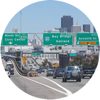
Photo Guides
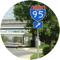
Our photographic guides profile a variety of routes from Interstate highways to county back roads. These pages generally cover highway end points, junctions with other routes, county line crossings, major or important bridges, signalized intersections, city skylines and other noteworthy transportation or area points of interest. We include historical tidbits, trivia and other local knowledge too.
City and area guides on AARoads take a more in depth look at local or metropolitan area highway networks. This aspect of our site more thoroughly profiles route systems and other significant roads on a local level with both a focus on historical alignments and map scans and also current expansion and future road projects.

AARoads Forum
Our online discussion forum offers a place for both road enthusiasts and general travelers to mingle and discuss a variety of subjects. Share photos, learn more about area construction projects from local members or find a road meet to attend near you. These topics and much more are covered on our 4,400 plus member board.

AARoads Wiki
Dedicated to roads across the United States and Canada, the AARoads Wiki is a free online gazetteer. Articles are a collaboration by volunteers and fellow road enthusiasts. Anyone with an account can edit articles and contribute. Future expansion may include roads in other countries.

“On The Road” Blog
Our blog includes reports from recent travels that we take to update the web site or for trips to see newly opened roads. Other posts cover web site updates, road news on new Interstate corridors and construction projects from across the country, and topics covering toll roads among other content.
AARoads Archive
The Archive contains an array of photos taken during the early years of the web site and photos from our guides that were replaced by more recent site updates. Photos are cataloged by state, route type, county, city, etc.
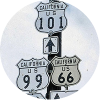
Shield Gallery
The AARoads Shield Gallery includes a collection of over 10,000 photos ranging from early era highway sign designs to modern trailblazers for touring routes and toll roads across the country. The bulk of this catalog consists of photos generously submitted from fellow road enthusiasts and long time contributors.
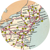
Interstate-Guide
AARoads’ Interstate-Guide delves even further covering current, past and future routes within the Interstate Highway System. While the web site initially covered routes with a brief overview and a focus on end points, development of pages over time expanded our coverage to include more extensive historical write-ups, an outline of recent modernization and widening projects, and expansion of the Interstate system with the growth of the I-11, I-49, I-69 and other corridors.
Be sure also to follow us on social media for the latest in road news from across the country, photos and roadtrip reports from the field and major site updates.