
 West
West 
 North
North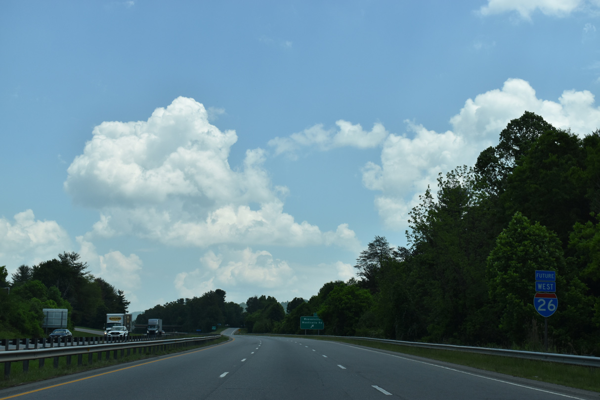
05/26/21
Monticello Road (SR 1727) ties into the split diamond interchange at Exit 18, adjacent to a five point intersection with U.S. 19-23 Business (N Main Street), Dula Springs Road (SR 2130) and N Buncombe School Road (SR 2207).
05/26/21
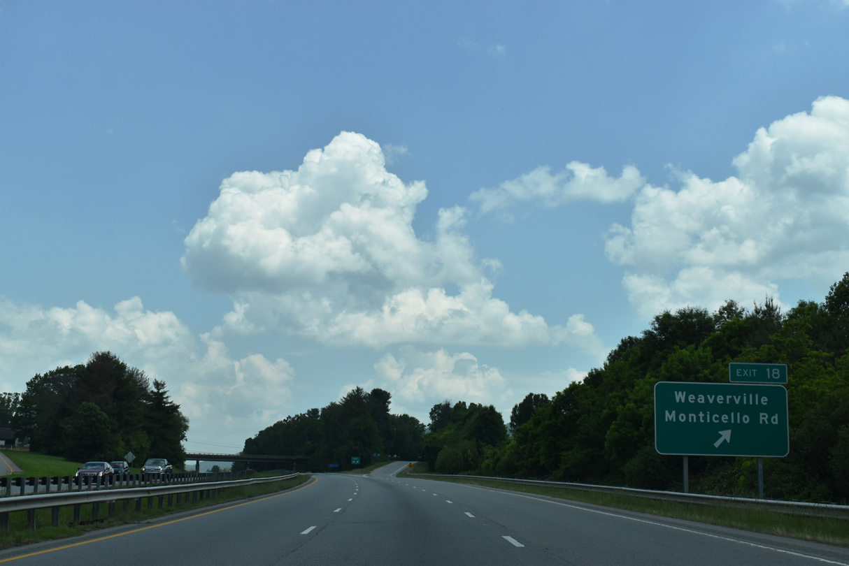
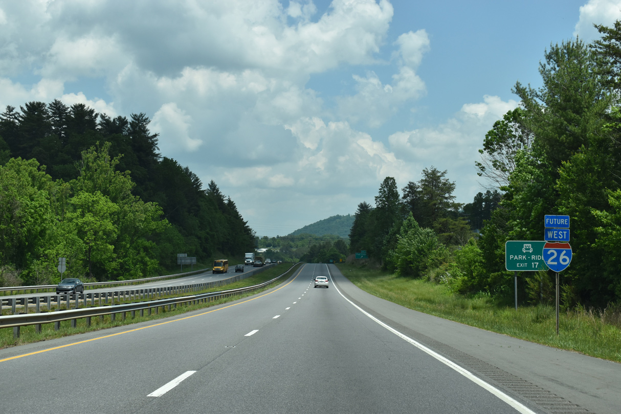
N Bumcombe School Road (SR 2207) parallels Future I-26 north to a diamond interchange at Exit 17.
05/26/21
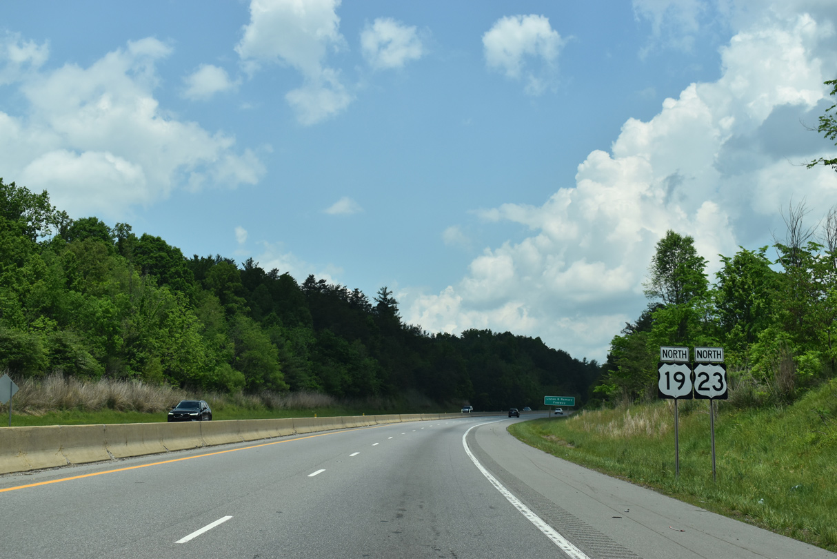
Future I-26 continues north from the end of U.S. 19-23 Business at Weaverville.
05/26/21
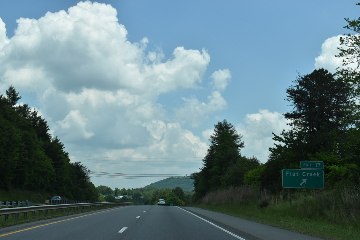
N Buncombe School Road follows old U.S. 19/23 north to Exit 17 at Stocksville. Old Mars Hill Highway (SR 2207) extends the former alignment northward to Flat Creek.
05/26/21
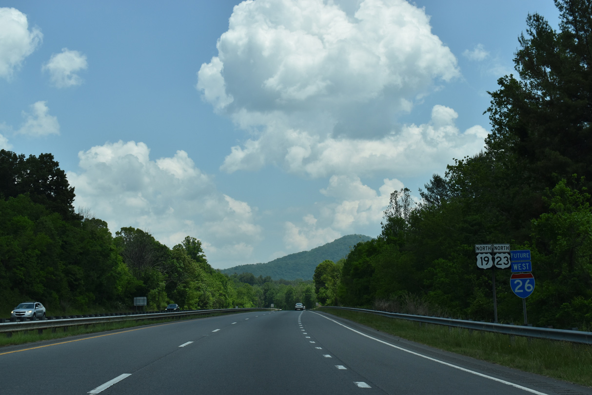
Lankford Mountain rises along the east side of Future I-26 /U.S. 19-23 at Stocksville.
05/26/21
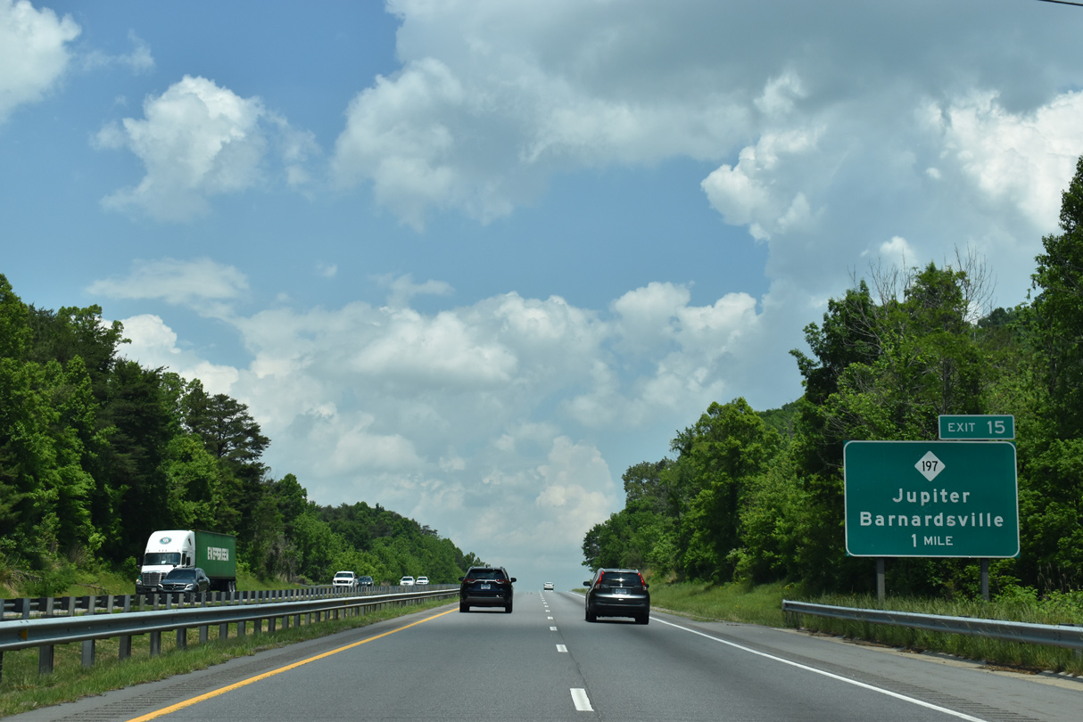
The south end of NC 197 ties into Future I-26 at Exit 15 in the unincorporated community of Flat Creek.
05/26/21
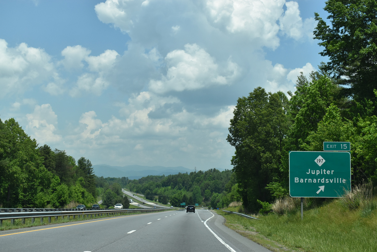
NC 197 follows a circuitous route 49.8 miles from Flat Creek northeast to Barnardsville, Burnsville and the Tennessee state line north of Poplar. Jupiter Road (SR 1756) extends west from Exit 15 to Jupiter.
05/26/21
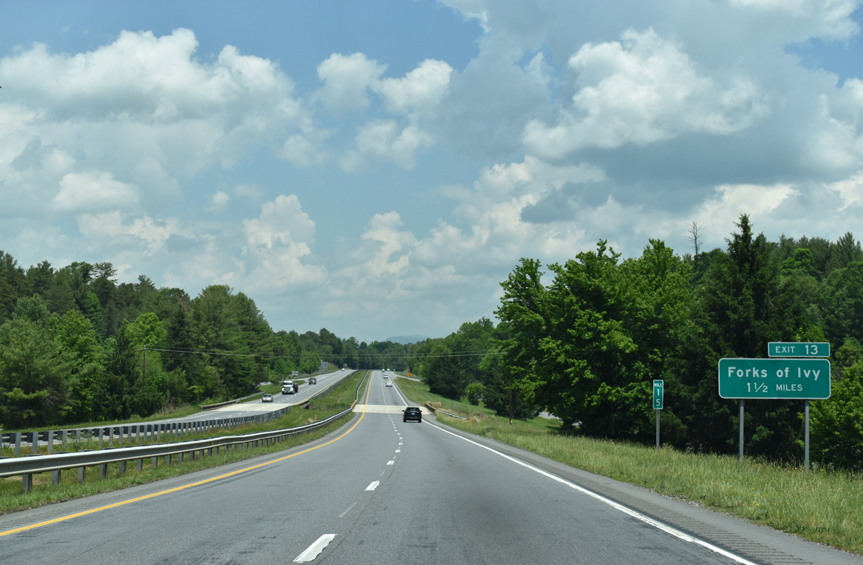
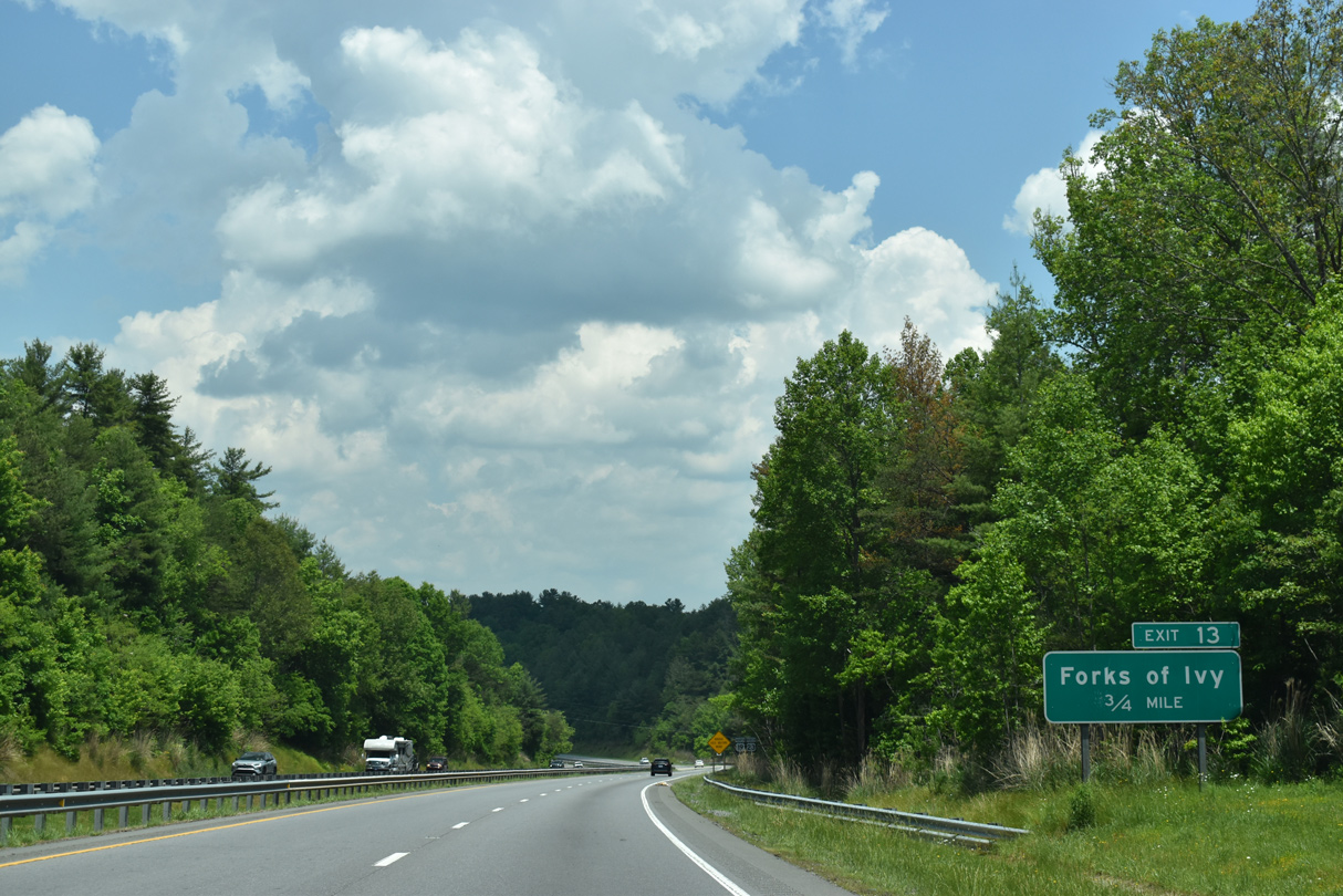
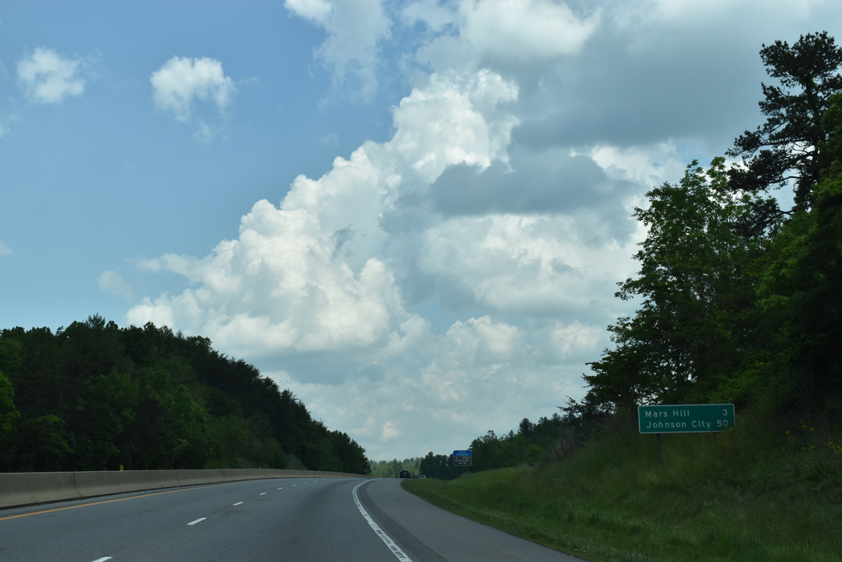
Old Mars Hill Highway (SR 2207) continues north along old U.S. 19/23 to Exit 13.
05/26/21

05/26/21
05/26/21
05/26/21
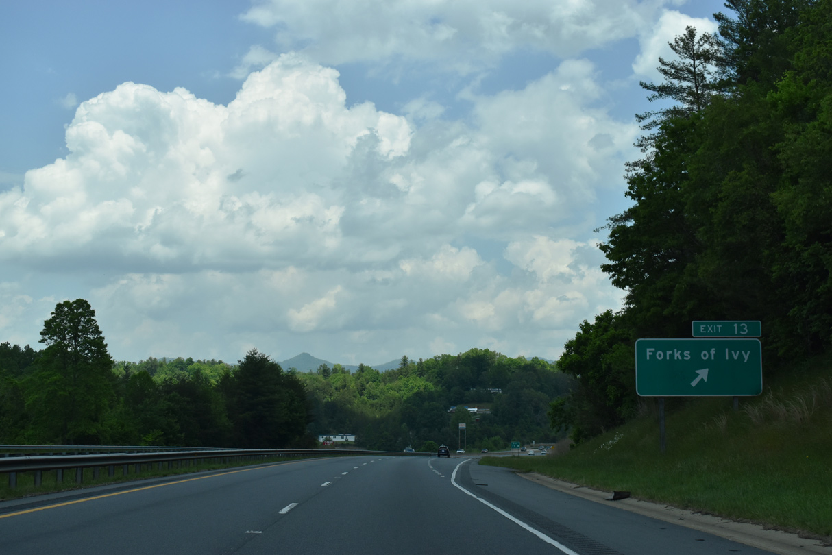
Old Mars Hill Highway (SR 2288) shifts to the east side of I-26 into Forks of Ivy. Old U.S. 19/23 extend north from SR 2288 along Main Street (SR 1609) to Long Ridge.
05/26/21
05/26/21
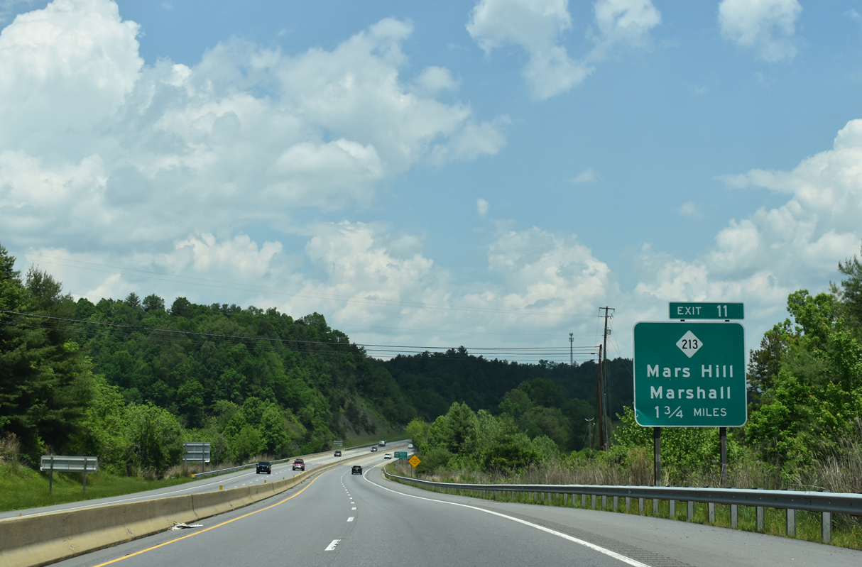
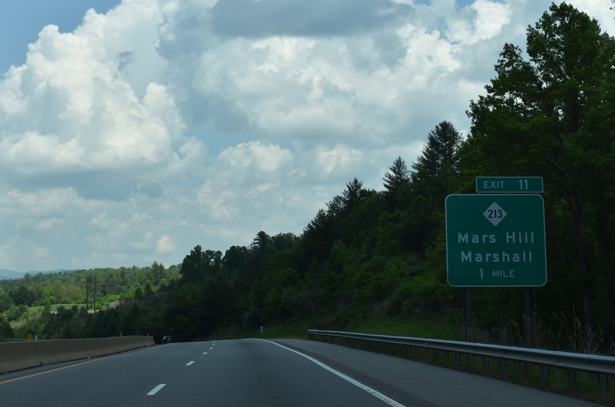
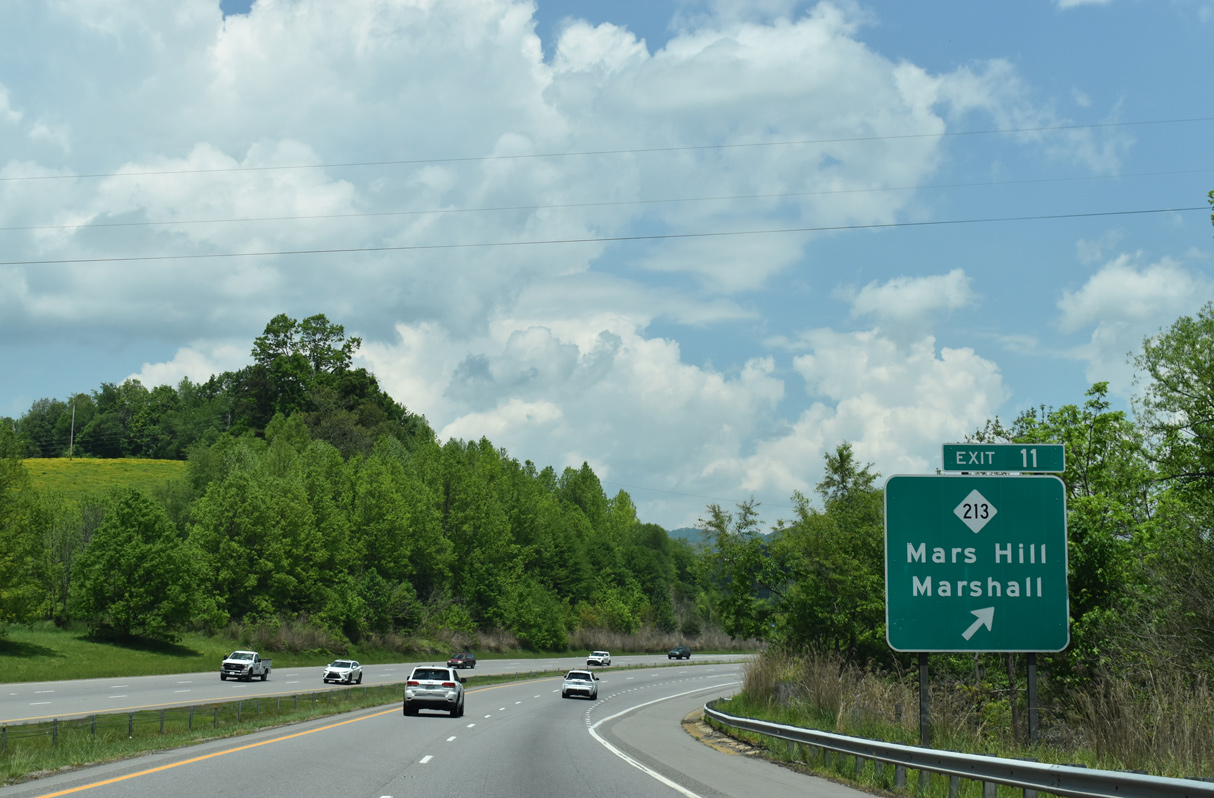
Interstate 26 meets the east end of NC 213 at a folded diamond interchange (Exit 11) in 1.75 miles.
05/26/21
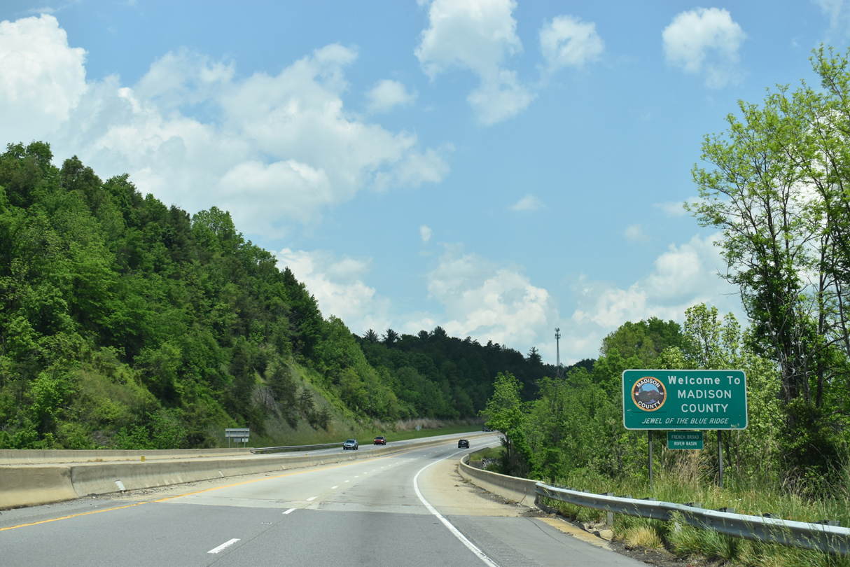
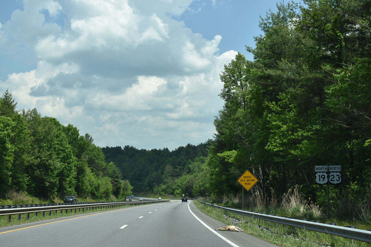
I-26/U.S. 19-23 enter Madison County across Ivy Creek at the settlement of Forks of Ivy.
05/26/21
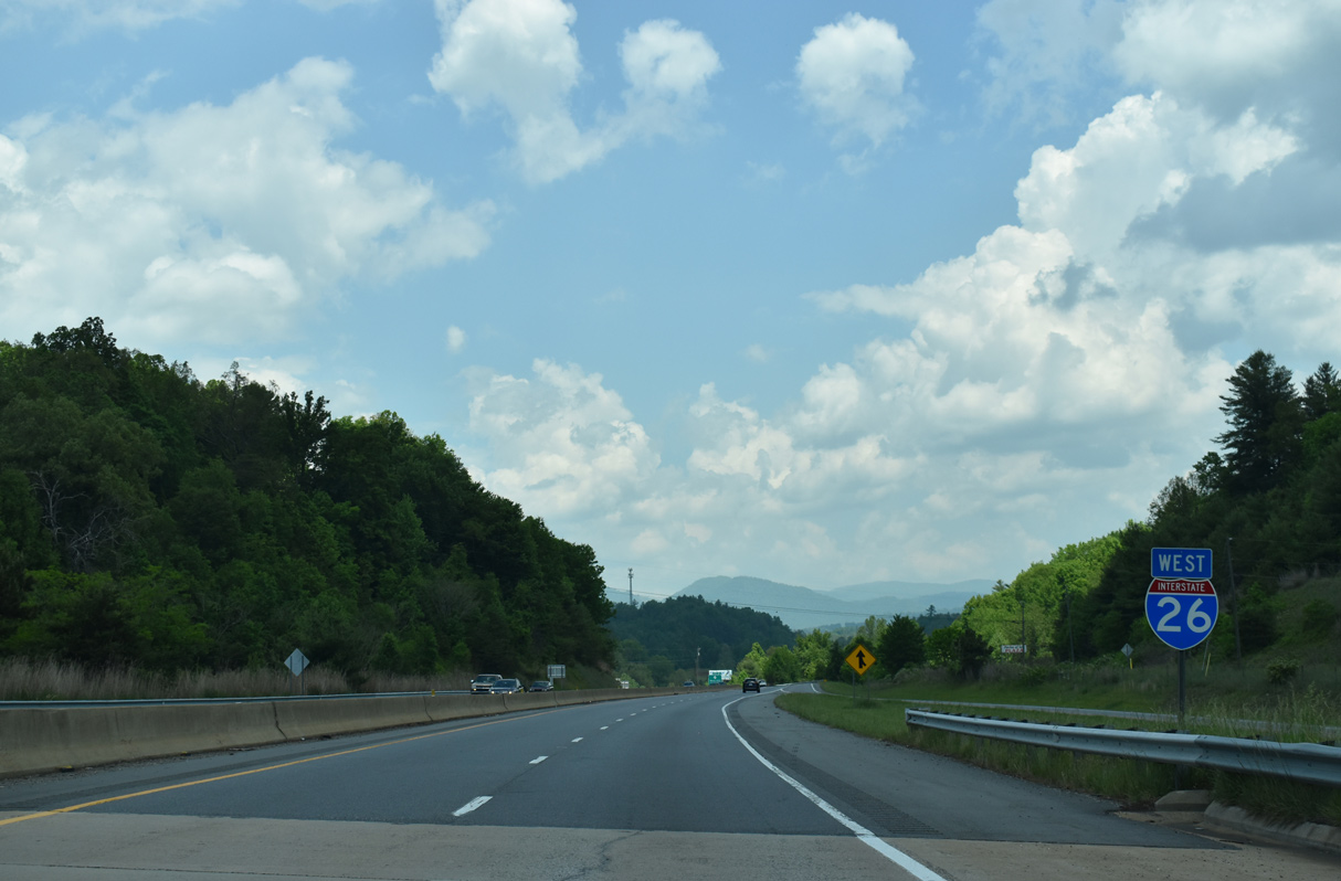
Interstate 26 through Madison County is the Liston B. Ramsey Freeway.
05/26/21
05/26/21
05/26/21
NC 213 travels 14.84 miles west from adjacent Calvin Edney Road (SR 1549) across the town of Mars Hill to U.S. 25/70 near Marshall.
05/26/21
U.S. 23A was designated in 2006 along the former route of U.S. 23 leading northeast to California, Murray Gap and Faust.
05/26/21
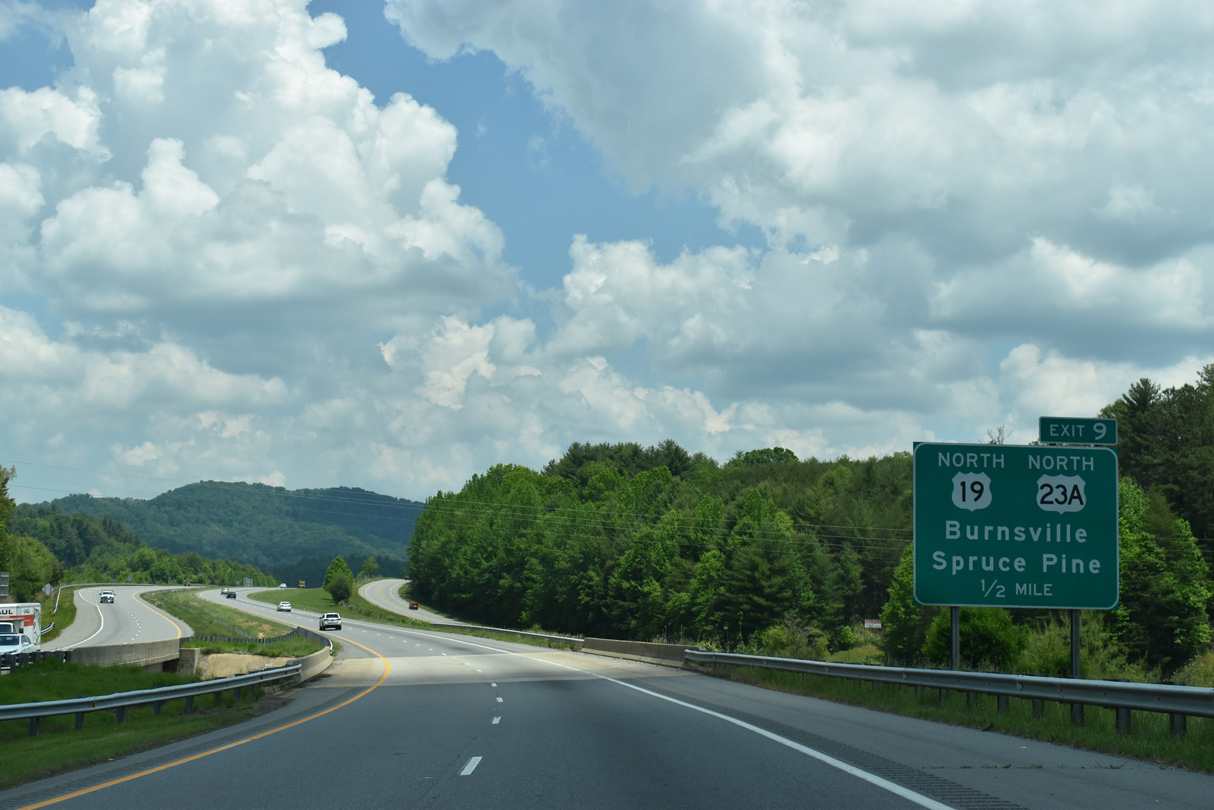
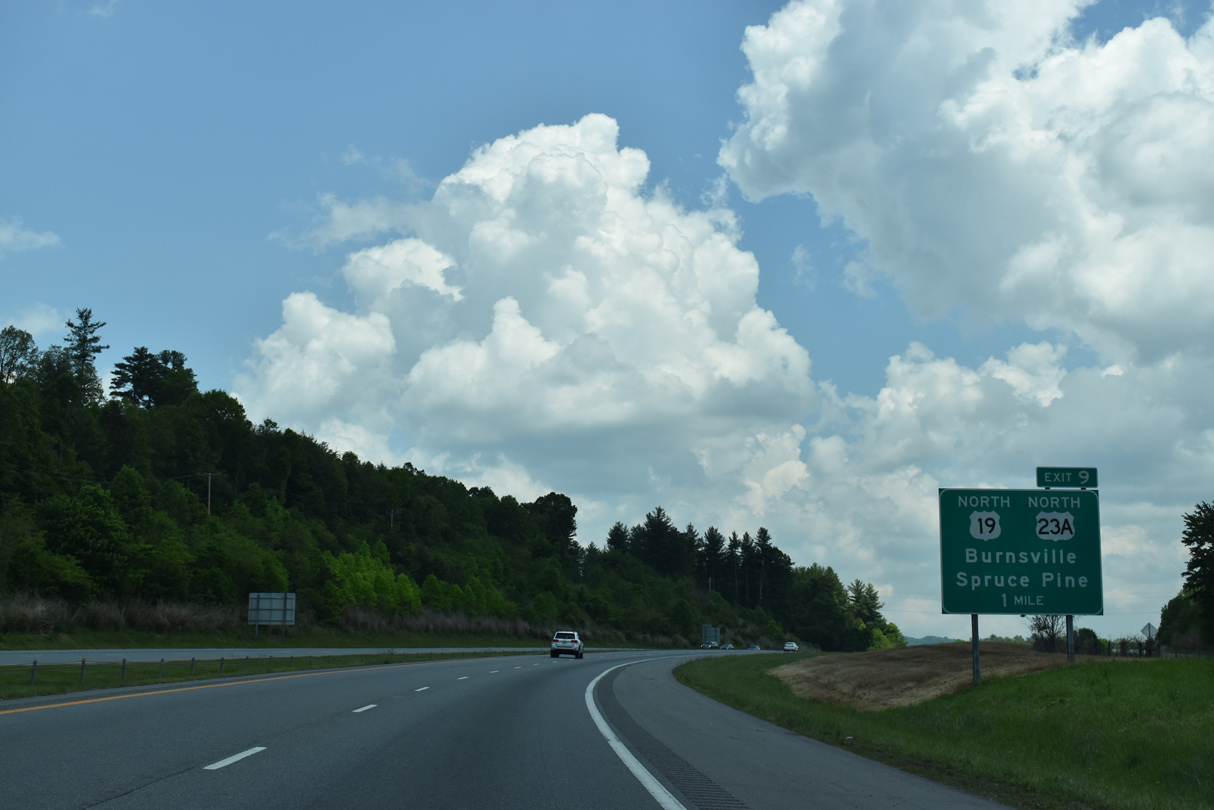
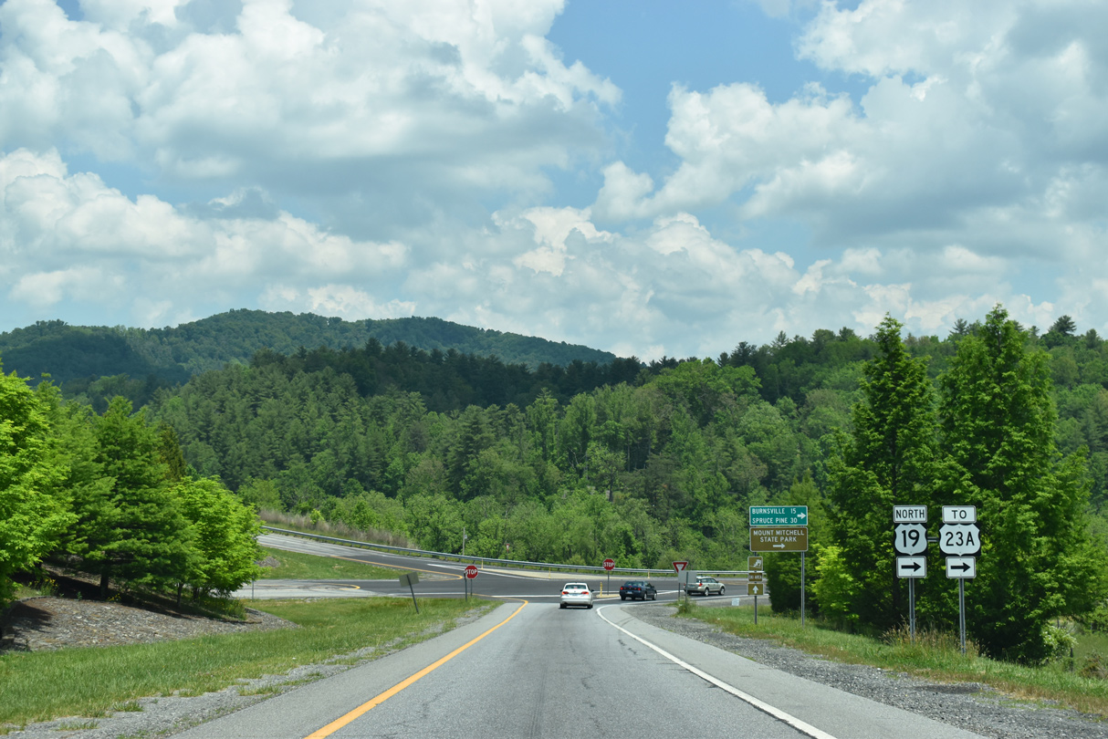
U.S. 19 splits with I-26/U.S. 23 at a trumpet interchange (Exit 9) west of Radford Gap.
05/26/21
05/26/21
West North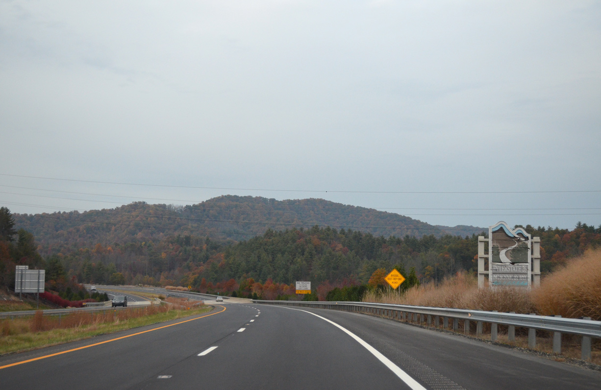
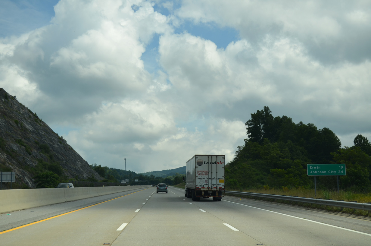
The remaining 9.05 miles of I-26/U.S. 26 in the Tar Heel State are part of the Interstate 26 NC Scenic Byway.
10/23/15
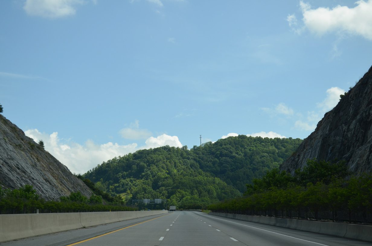
Interstate 26 parallels U.S. 23A between Hooker Knob and Wooded Mountain.
07/03/14
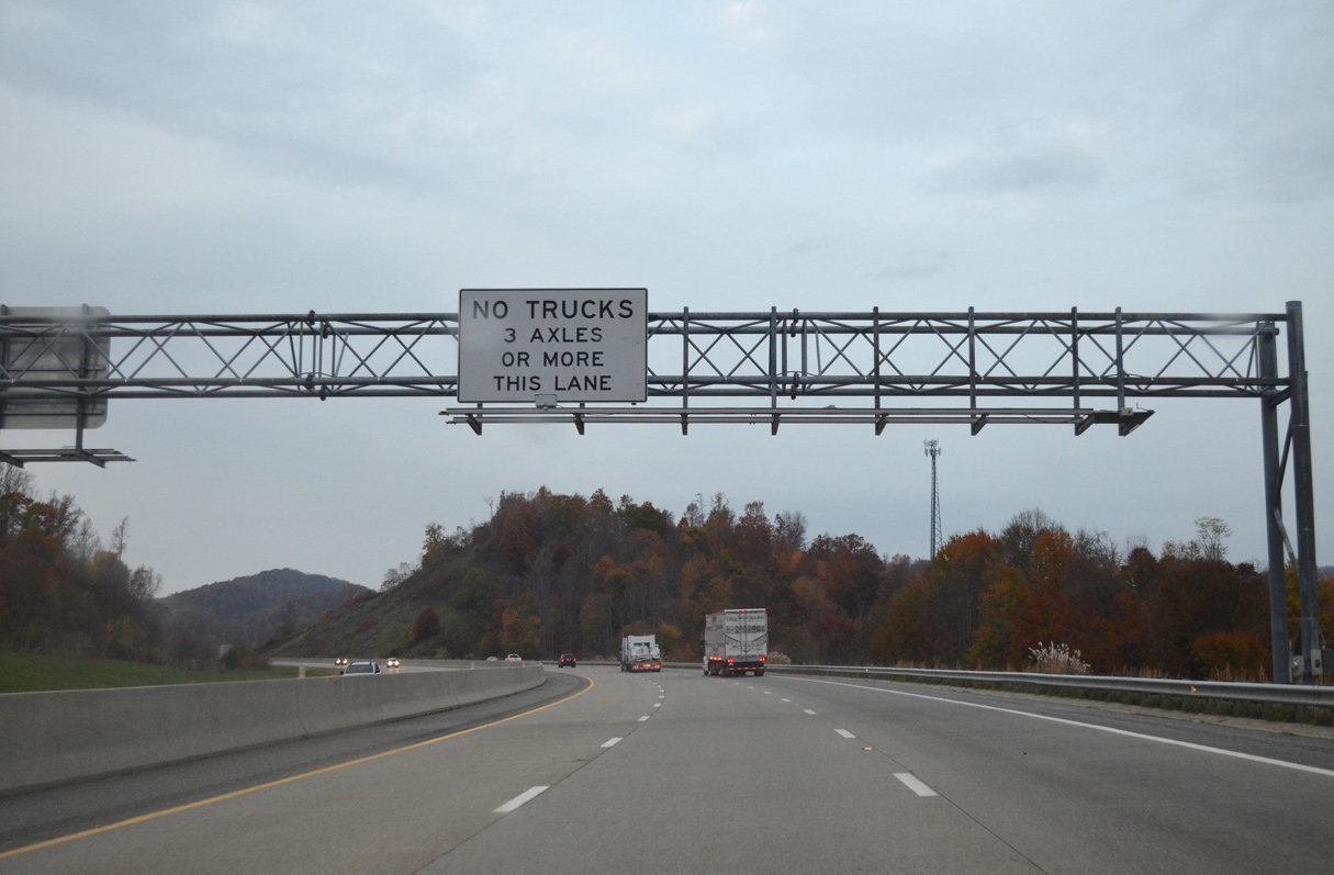
Progressing northward into the Walnut Mountains, Interstate 26 westbound expands with the addition of a truck climbing lane.
10/23/15
07/03/14
07/03/14
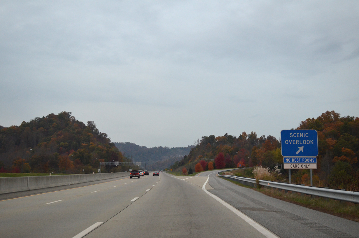
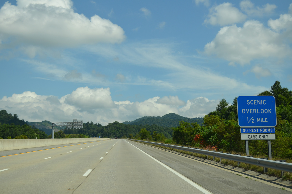
Scenic pull offs are located on both roadways of I-26 near Ephraim Knob.
10/23/15
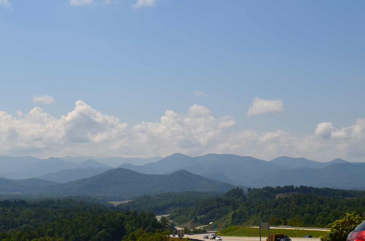
Looking south from the I-26 scenic overlook in Madison County.
07/03/14
Interstate 26 navigates through a sweeping S-curve between Ephraim Knob and Brushy Mountain to Whittaker Gap.
10/23/15

10/23/15
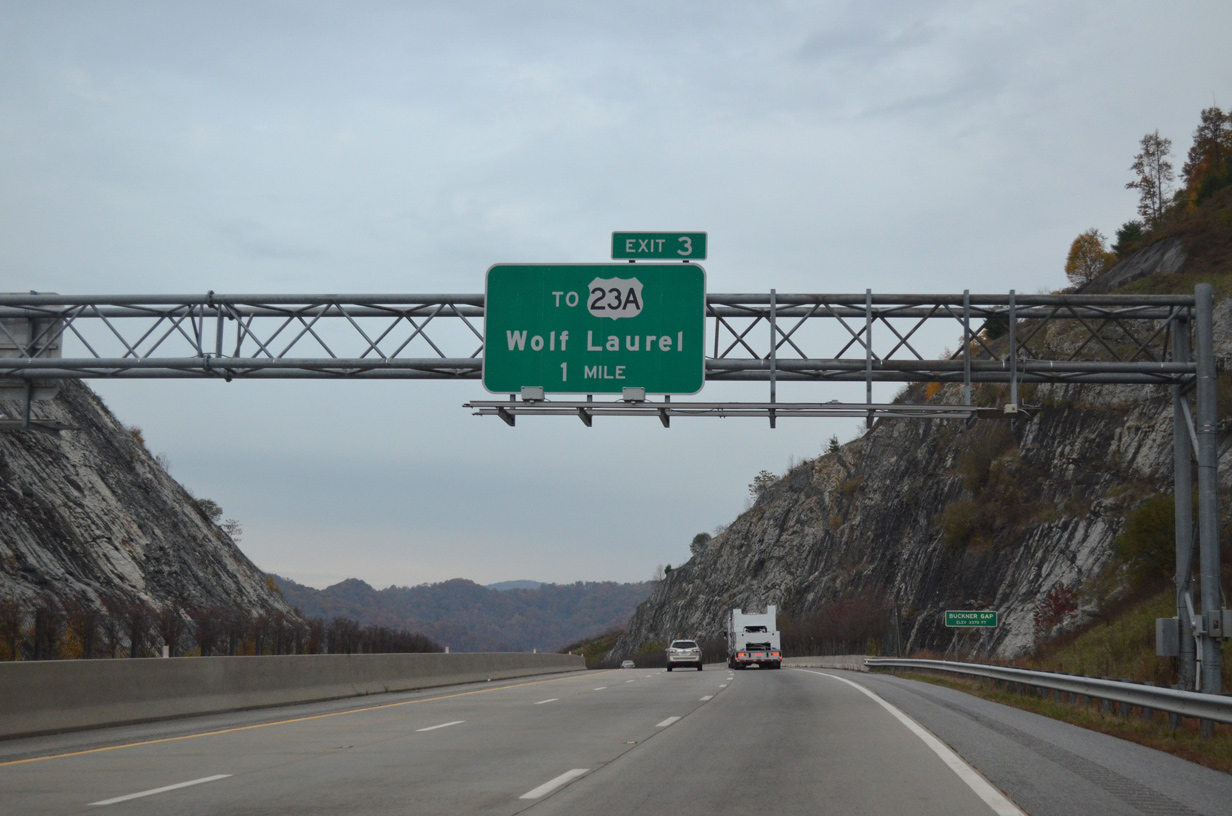
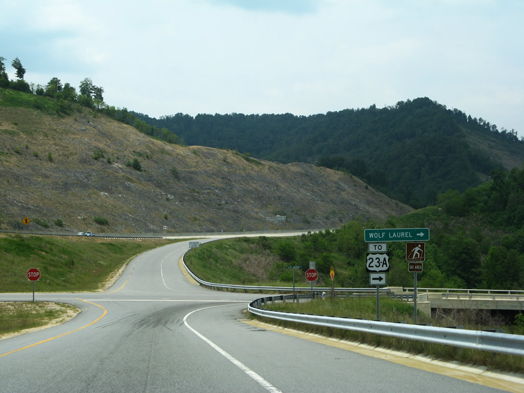
U.S. 23A returns to I-26/U.S. 23 at a diamond interchange (Exit 3) west of Faust.
07/03/14
Rock cuts along I-26/U.S. 23 at Whittaker Gap, east of Big Knob.
07/03/14
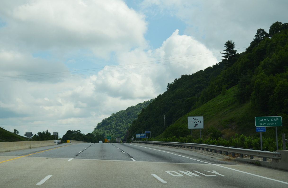
U.S. 23A loops 7.94 miles southward to California and Mars Hill. Old U.S. 23 (SR 1636) heads north alongside Little Creek to Sams Gap.
10/23/15
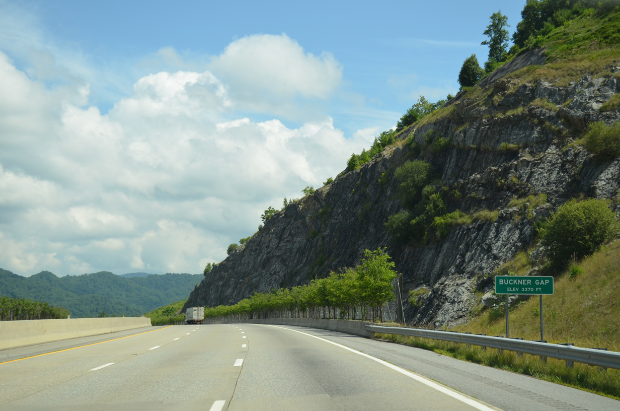
I-26/U.S. 23 pass through Buckner Gap at an elevation of 3,370 feet above sea level.
07/03/14
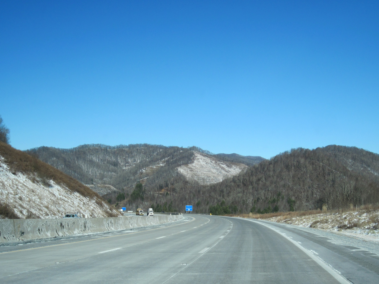
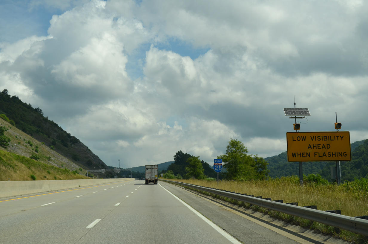
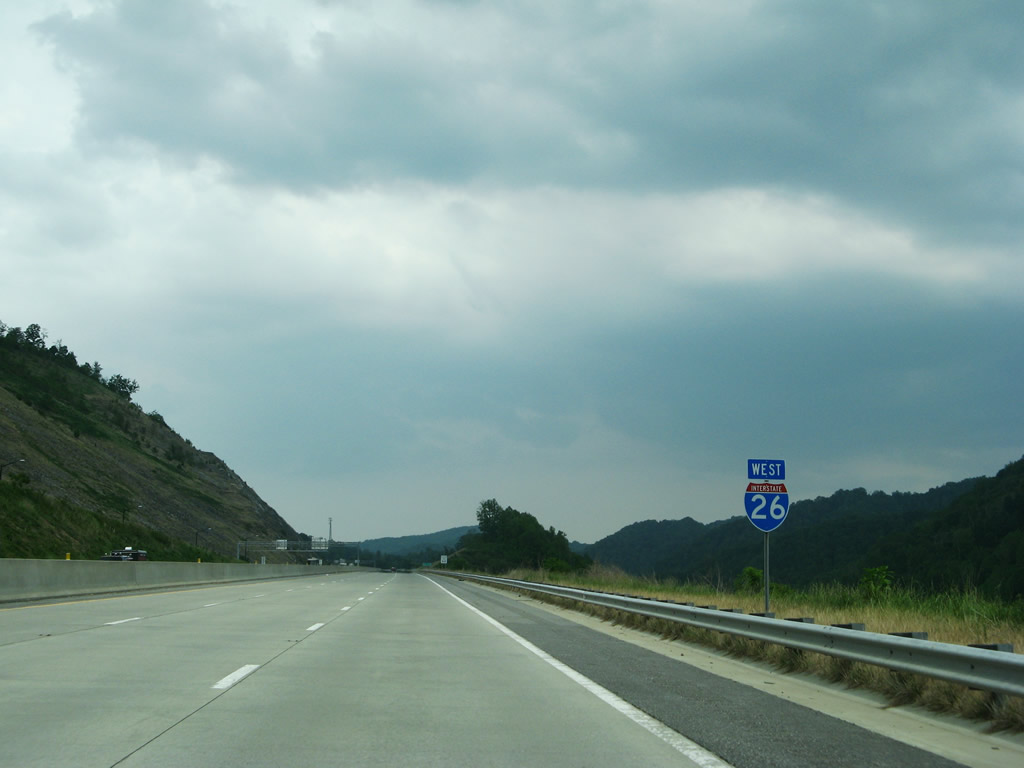
Interstate 26 continues into the Laurel Creek valley between Reed Mountain and Ramsey Ridge.
02/10/14
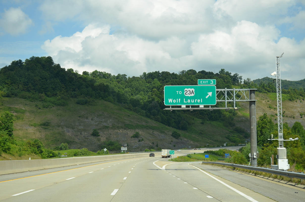
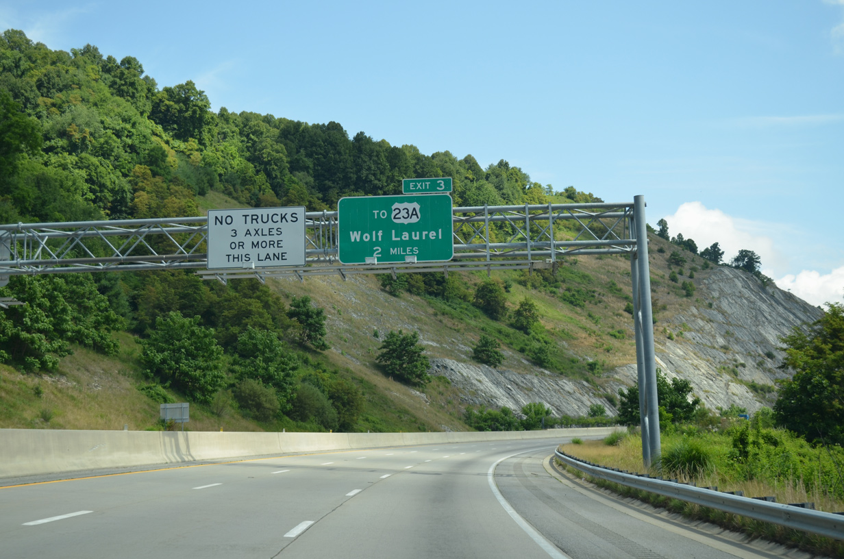
Wolf Laurel is a housing development northeast in the Walnut Mountains near the Tennessee state line.
07/03/14
U.S. 23A follows Bear Branch Road (SR 1346) 0.12 miles east from I-26/U.S. 23 westbound to join the original alignment of U.S. 23 south of Little Creek.
05/31/07
07/03/14
Continuing the climb toward Sams Gap (elevation 3,760 feet), I-26/U.S. 23 pass over Big Laurel Road (SR 1318) and Big Laurel Creek.
05/31/07
07/03/14
10/23/15

A truck safety inspection and parking area lies just beyond the state line on westbound I-26/U.S. 23 at Sams Gap.
07/03/14
Sams Gap lies along the Tennessee state line in the Bald Mountains.
07/03/14

Photo Credits:
- 05/31/07 by AARoads and Carter Buchanan.
- 02/10/14 by Carter Buchanan.
- 07/03/14 by AARoads.
- 10/23/15 by AARoads.
- 05/26/21 by AARoads.
Connect with:
U.S. 19
Page Updated 01-27-2023.