|
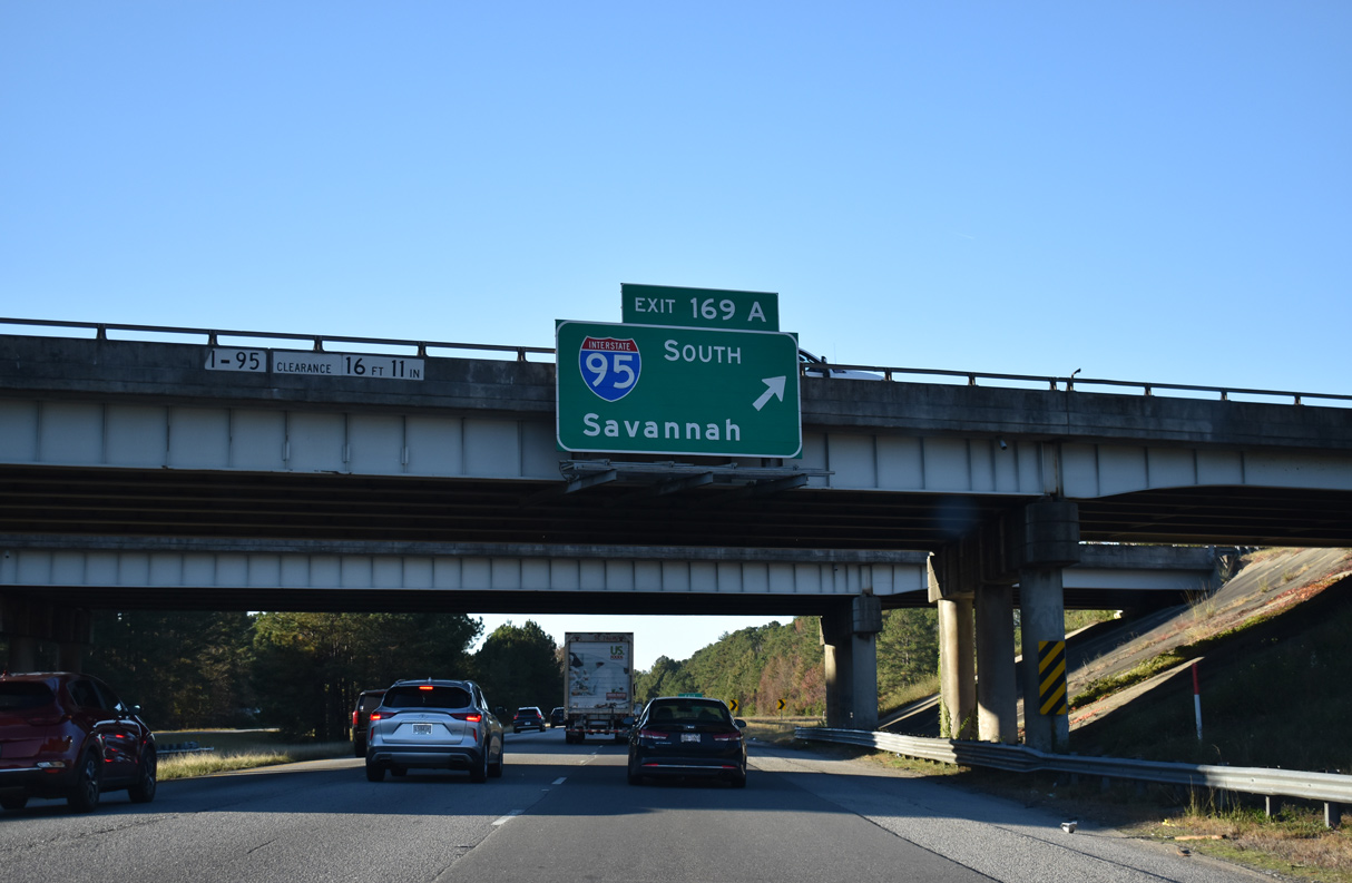
| The cloverleaf interchange (Exits 169B/A) joining I-26 west with Interstate 95 lies just beyond the Orangeburg County line. 12/16/07 |
|
| Exit 169A loops onto Interstate 95 south to Saint George, Walterboro, Hardeeville and Savannah, Georgia. 11/19/21 |
|
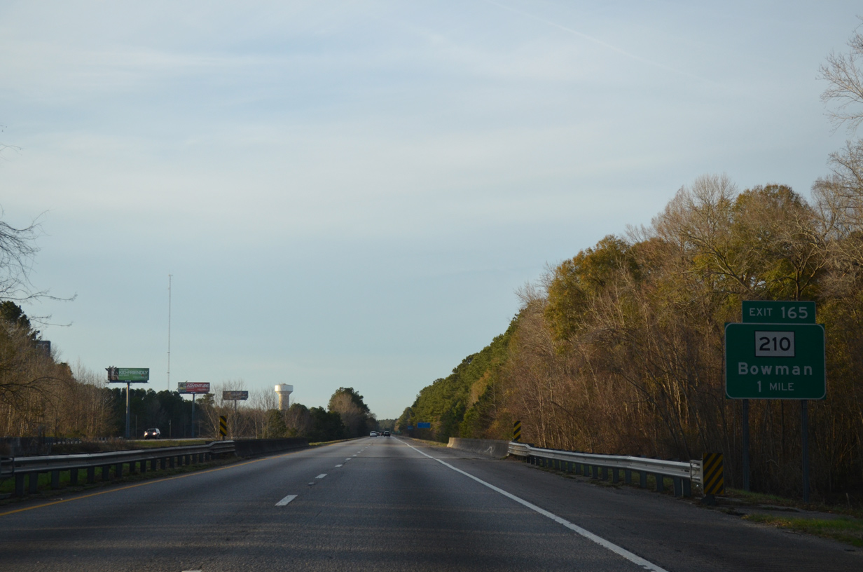
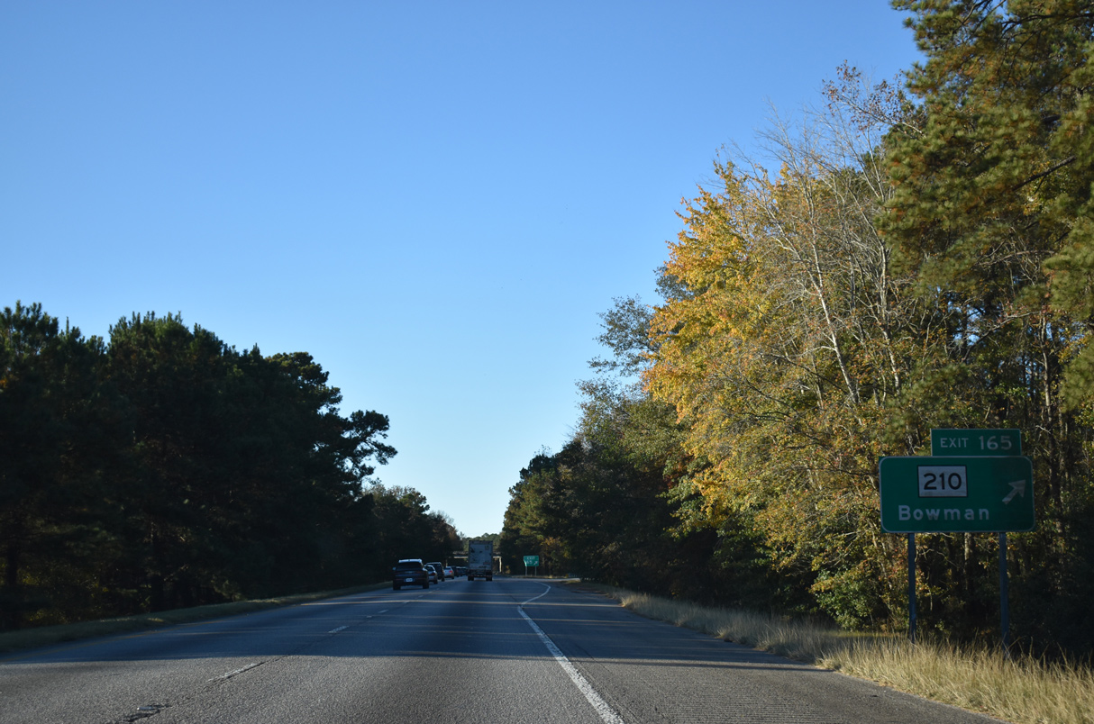
| Located three miles to the northwest, the succeeding exit along Interstate 26 westbound leads to the town of Bowman. Columbia follows in 59 miles. 11/19/21 |
|
| Crossing Cow Castle Creek and its associated wetlands, Interstate 26 advances northwest to Exit 165 with S.C. 210 (Vance Road). 12/19/13 |
|
| S.C. 210 travels 28.58 miles along a rural course west from S.C. 6 at Vance to Providence, I-26 at Exit 165, Bowman, and U.S. 21 in Branchville. 11/19/21 |
|
| A forested median continues along Interstate 26 northwest through Orangeburg County. 12/19/13 |
|
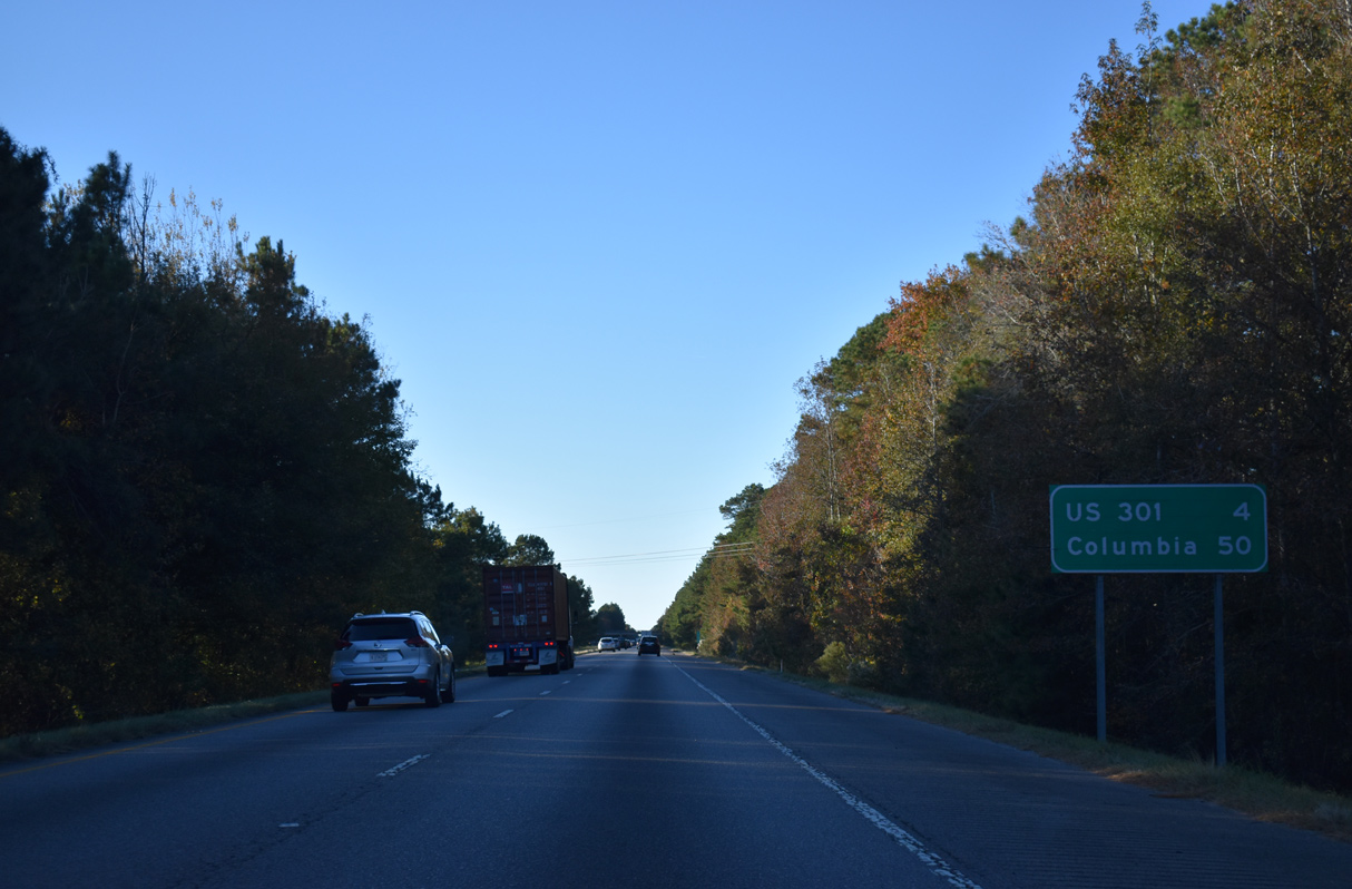
| Orangeburg, seat of the county, is 19 miles away via I-26 west and U.S. 301, while Columbia is 55 miles. 11/19/21 |
|
| Homestead Road (Road 36) meanders 5.02 miles north from U.S. 178 (Charleston Highway) in the town of Bowman to Interstate 26 at Exit 159. 11/19/21 |
|
| Entering the diamond interchange (Exit 159) with Homestead Road (Road 36). Homestead Road extends 6.11 miles northward to U.S. 301 (Five Chop Road) and Four Holes Road (Road 50) east of Four Holes. 11/19/21 |
|
| Interstate 26 remains through a mixture of forest land and agricultural areas to the outskirts of Orangeburg. 07/27/13 |
|
| U.S. 301 heads west from the Santee area to cross paths with Interstate 26 in four miles. Columbia is 46 miles further north. 11/19/21 |
|
| A cloverleaf interchange (Exits 154B/A) joins Interstate 95 with U.S. 301 (Five Chop Road) in one mile. 11/19/21 |
|
| U.S. 301 east to S.C. 47 north leads to the town of Elloree. Located off S.C. 33 (Russell Street) to the west, Edisto Memorial Gardens is an Orangeburg city park along the North Fork of the Edisto River. 11/19/21 |
|
| A four lane highway, U.S. 301 travels 21 miles between Orangeburg and I-95 north near Santee. 11/19/21 |
|
| Exit 154A is the first of three exits for the city of Orangeburg from I-26 west. U.S. 301 combines with U.S. 601 south from there along a 18.3 mile long overlap to Bamberg. 11/19/21 |
|
| Interstate 26 traverses Middle Pen Swamp northwest of U.S. 301 and this shield assembly. 12/19/13 |
|
| The small town of Cameron is referenced next along I-26 west for the exit with S.C. 33 in five miles. Columbia is 44 miles away. 11/19/21 |
|
| The first of two sets of rest areas on I-26 between Interstate 95 and Columbia is located east of Orangeburg. 11/19/21 |
|
| The westbound side rest area precedes Gramling Creek while the eastbound facility lies further north. 11/19/21 |
|
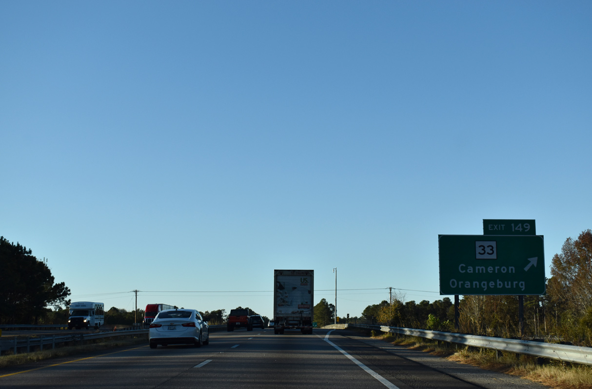
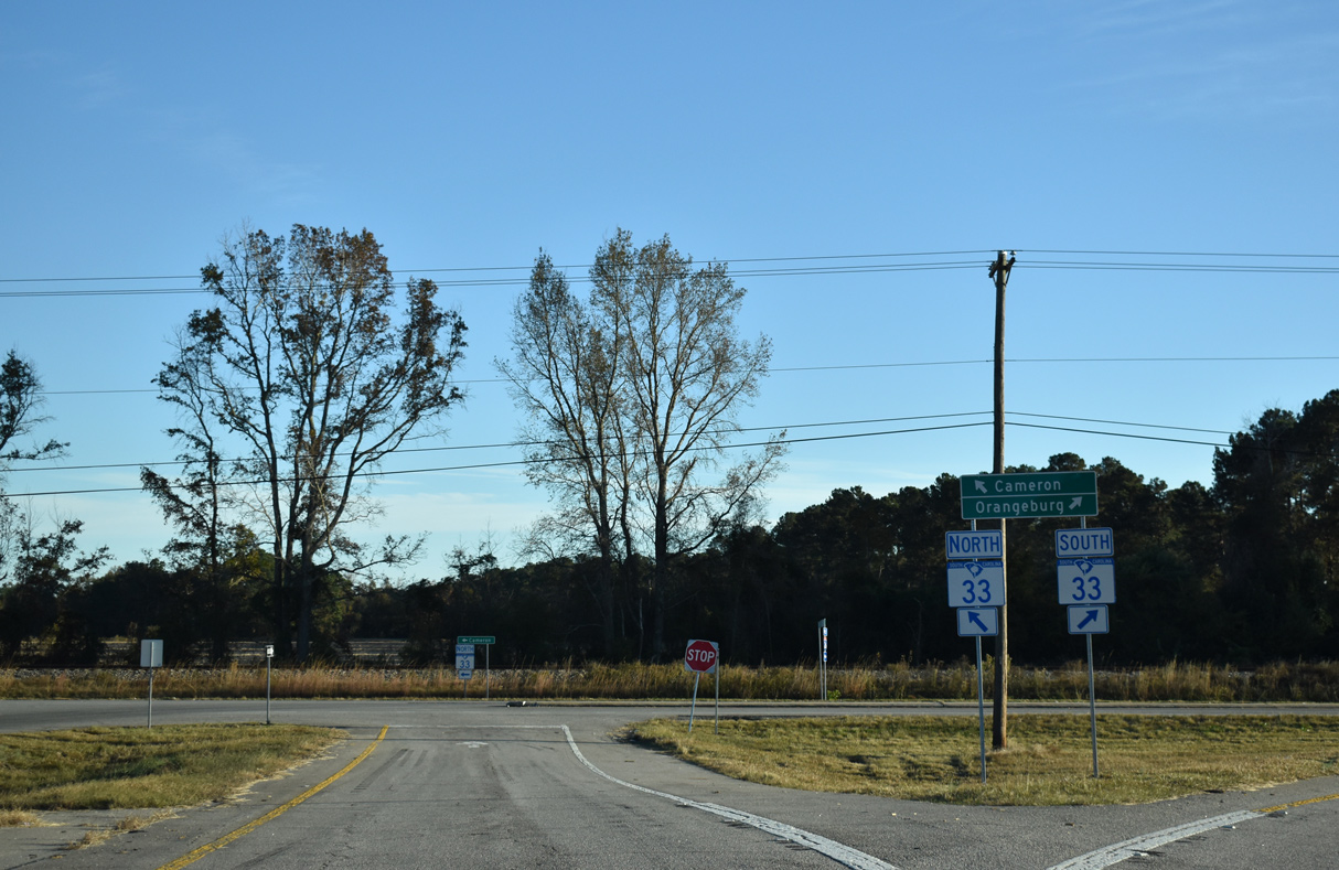
| S.C. 33 (Russell Street) parallels a CSX Railroad line westward from a folded diamond interchange (Exit 149) with I-26 into Orangeburg. 11/19/21 |
|
| A five lane arterial, S.C. 33 (Russell Street) provides the most direct route from Interstate 26 to South Carolina State University and Downtown Orangeburg. 11/19/21 |
|
| Measuring 19.36 miles in length, S.C. 33 originates in Orangeburg and heads five miles east from Exit 149 to Cameron and 14 miles to S.C. 419 near Lone Star. 11/19/21 |
|
| The terrain along Interstate 26 west on the 38 miles leading to Columbia becomes more hilly, with elevation increases to 300 feet above sea level. 09/16/21 |
|
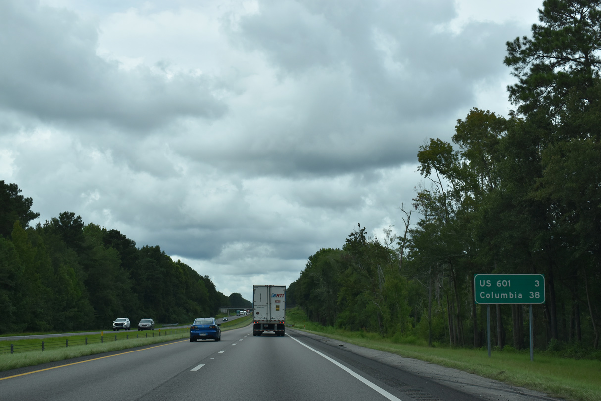
| U.S. 601 follows Magnolia Street northward from South Carolina State University and Orangeburg to Saint Matthews Road to I-26 at Exit 145. Road work from August 2016 to May 31, 2017 removed the loop ramps from I-26 to U.S. 601 at the forthcoming cloverleaf interchange. 09/16/21 |
|
| U.S. 601 (Saint Matthews Road) heads eight miles north Exit 145 to the town of Saint Matthews. U.S. 601 winds north from there through rural areas east of Fort Jackson to U.S. 1 at Lugoff. 09/16/21 |
|
| The removed loop ramp at what was Exit 145A. U.S. 601 combines with U.S. 301 south along John C. Calhoun Drive through Downtown Orangeburg to Bamberg. Beyond Bamberg, U.S. 601 extends another 54 miles to U.S. 321 near Tarboro. 12/19/13 |
|
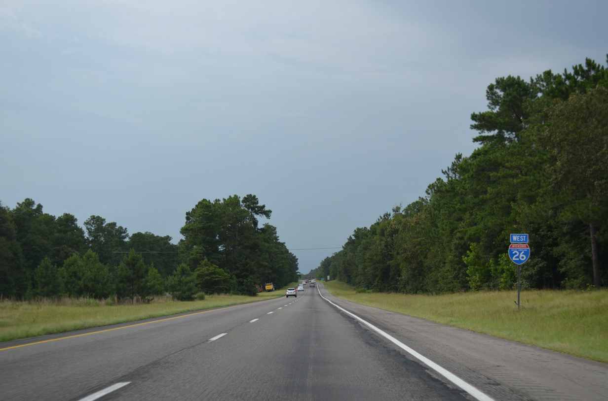
| The remaining 35 miles along I-26 toward Columbia is vastly rural. Swansea, 22 miles away, lies at the crossroads of U.S. 321 and S.C. 6 well west of the freeway. 09/16/21 |
|
| Interstate 26 crests on a hill into a western arm of Calhoun County. 09/16/21 |
|
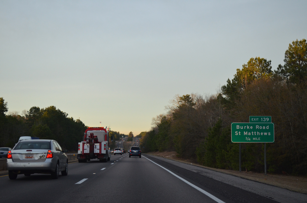
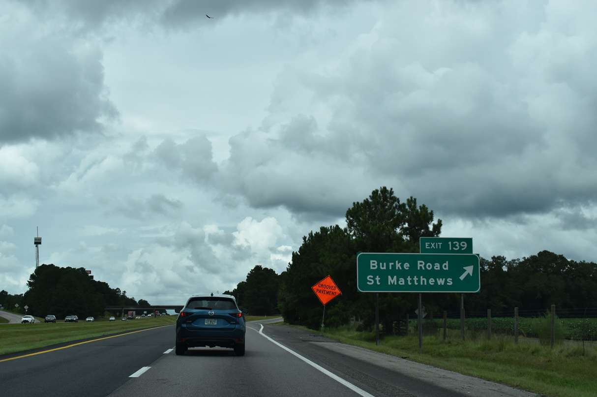
| I-26 west lowers toward Burke Creek, 0.75 miles from the diamond interchange (Exit 139) with Burke Road (Road 22). 12/19/13 |
|
| Burke Road (Road 22) meanders east from Exit 139 to become Chestnut Street in the town of St. Matthews. West of I-26, Road 22 links the freeway with adjacent U.S. 21 (Columbia Road) and Kennerly Road (Road 29) in 3.28 miles. 09/16/21 |
|
| Interstate 26 reassurance marker posted south of Murph Mill Road (Road 16). 07/27/13 |
|
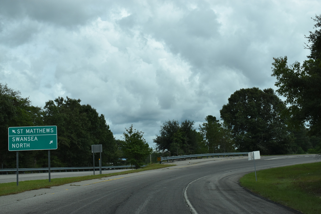
| Swansea is 16 miles to the west while Columbia is a half hour away. 07/27/13 |
|
| S.C. 6 (Caw Caw Highway) branches 3.29 miles west from U.S. 176 to a parclo B2 interchange (Exit 136) with Interstate 26 in one mile. 09/16/21 |
|
| 1.44 miles west of Exit 136, S.C. 6 combines with U.S. 21 (Columbia Road) north opposite S.C. 172 west. 09/16/21 |
|
| S.C. 6 (Caw Caw Highway) overlaps with U.S. 21 (Columbia Road) for 1.55 miles north before turning west ten miles to Swansea. 09/16/21 |
|
| Interstate 26 briefly parallels Mack Branch by this shield assembly north of S.C. 6. 07/27/13 |
|
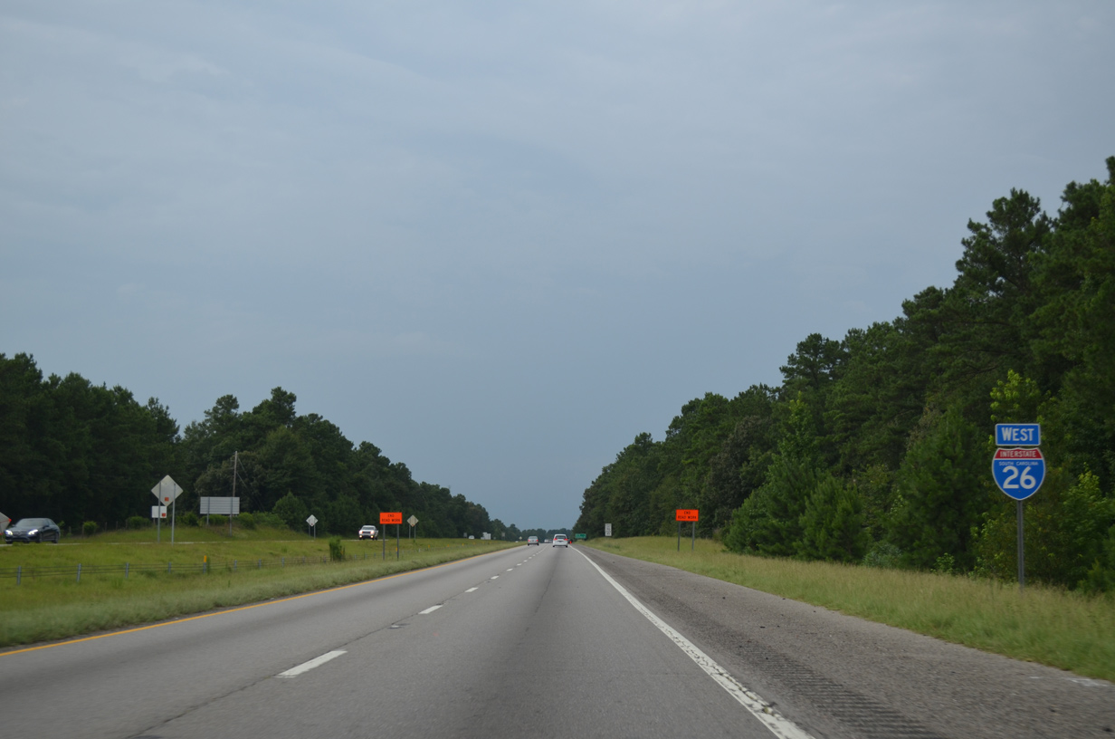
| A seven mile exit less stretch ensues to Exit 129 with U.S. 21 (Columbia Road). Columbia lies 20 miles further. 07/27/13 |
|
| Rolling hills along Interstate 26 west precede this valley fed by Big Beaver Creek. 12/19/13 |
|
| Big Beaver Creek separates Calhoun County from an eastern notch of Lexington County across Interstate 26. 12/19/13 |
|
| Equally rural, U.S. 21 crosses paths with Interstate 26 at a parclo A2 interchange (Exit 129) in one mile. 12/19/13 |
|
| U.S. 21 runs 18.5 miles north from Orangeburg to Exit 129. U.S. 21 switches sides with Interstate 26 to Oak Grove and Exit 119. 12/19/13 |
|
| Interstate 26 turns more northerly from U.S. 21 to reenter Calhoun County. 12/19/13 |
|
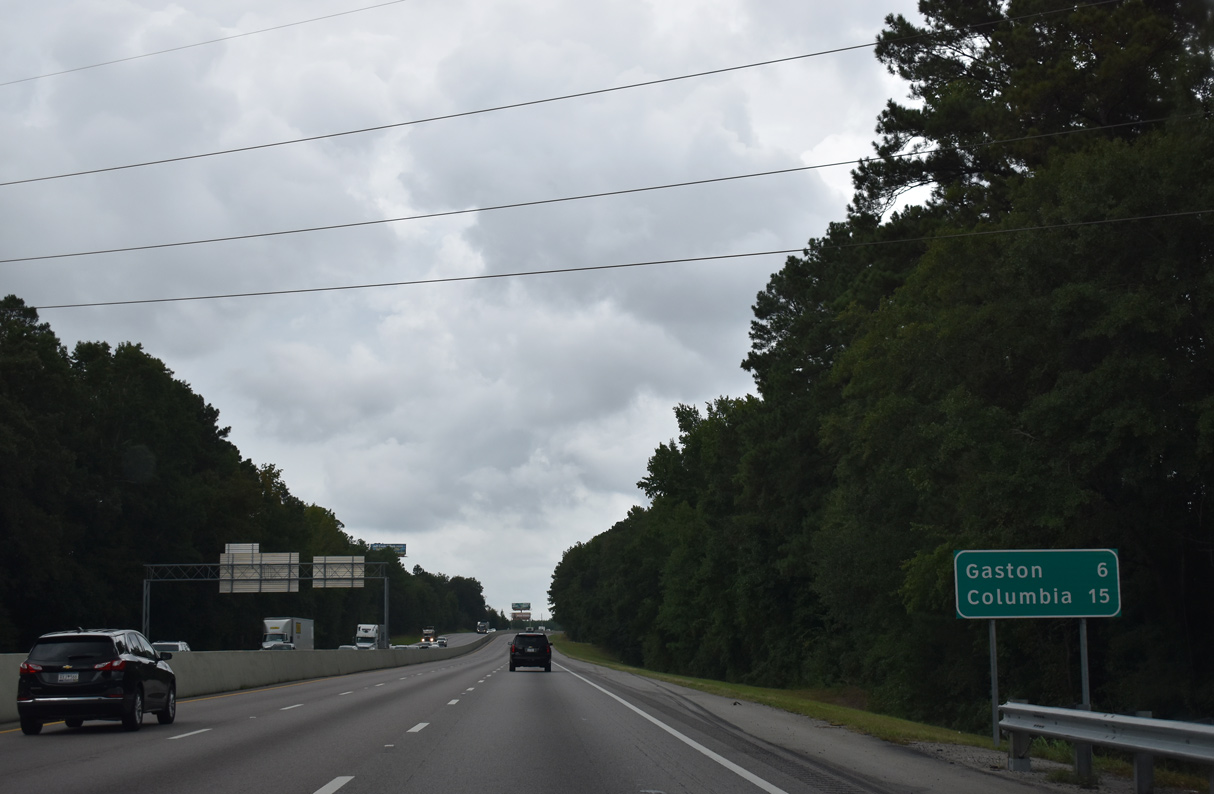
| The town of Gaston, west of I-26 along U.S. 321, is referenced for the succeeding exit. Sand Mountain rises along the northern horizon. 12/19/13 |
|
| Travelers along Interstate 26 west enter Calhoun County for the second time ahead of the Valley Ridge Road (Road 41) overpass. 12/19/13 |
|
| Interstate 26 west dips into a wide valley to cross Sandy Run. 12/19/13 |
|
| Upcoming Old Sandy Run Road (Road 31) arcs west to Pine Plain Road at Enos and east to U.S. 21/176 near Sandy Road. 12/19/13 |
|
| Interstate 26 expands to six lanes at the parclo interchange (Exit 126) with Old Sandy Run Road. Mack Street (Road 65) west from Enos links Interstate 26 with Gaston. 12/19/13 |
|
| Interstate 26 climbs again from Exit 119 to an elevation of 320 feet. Construction completed in 2016 widened I-26 northward from Exit 125 to I-77. 09/16/21 |
|
| The town of Gaston lies six miles to the southwest of U.S. 21/176 along U.S. 321. U.S. 21/176T meet I-26 at the succeeding exit in 4.3 miles. The previous distance sign posted north of Exit 125 referenced I-77 at nine miles out in place of Gaston. 09/16/21 |
|
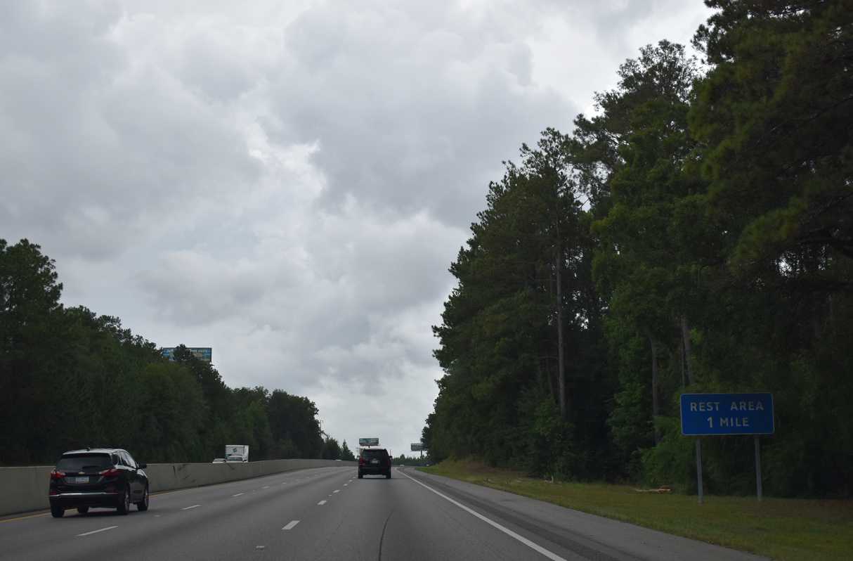
| A pair of rest areas line the north slope of a hill dropping Interstate 26 west to Savany Hunt Creek. 09/16/21 |
|
| U.S. 21/176 (Charleston Highway) curve west to circumvent the DAK Americans Columbia Site industrial plant and run alongside Interstate 26 to Exit 119 south of Dixiana. 09/16/21 |
|
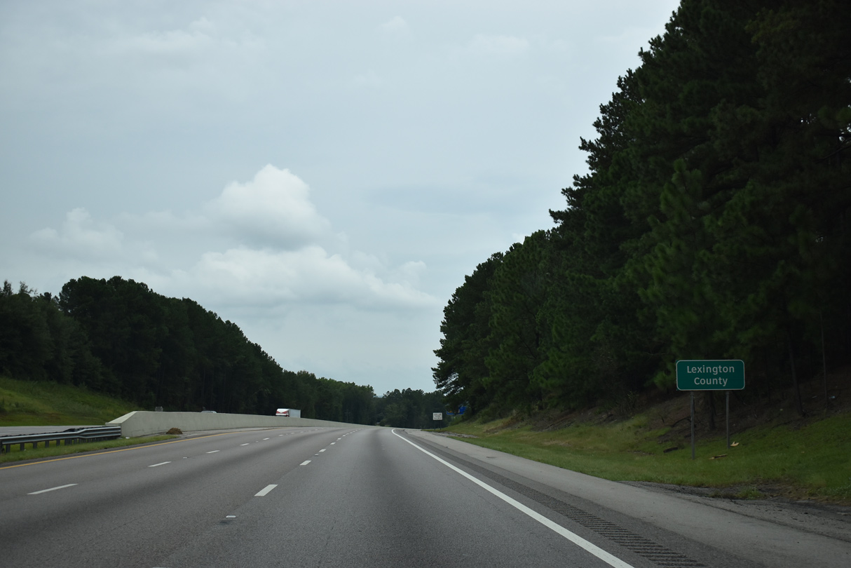
| Reentering Lexington County, I-26 advances north to Interstate 20. 09/16/21 |
Page Updated 12-29-2021.

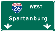
 West
West