|
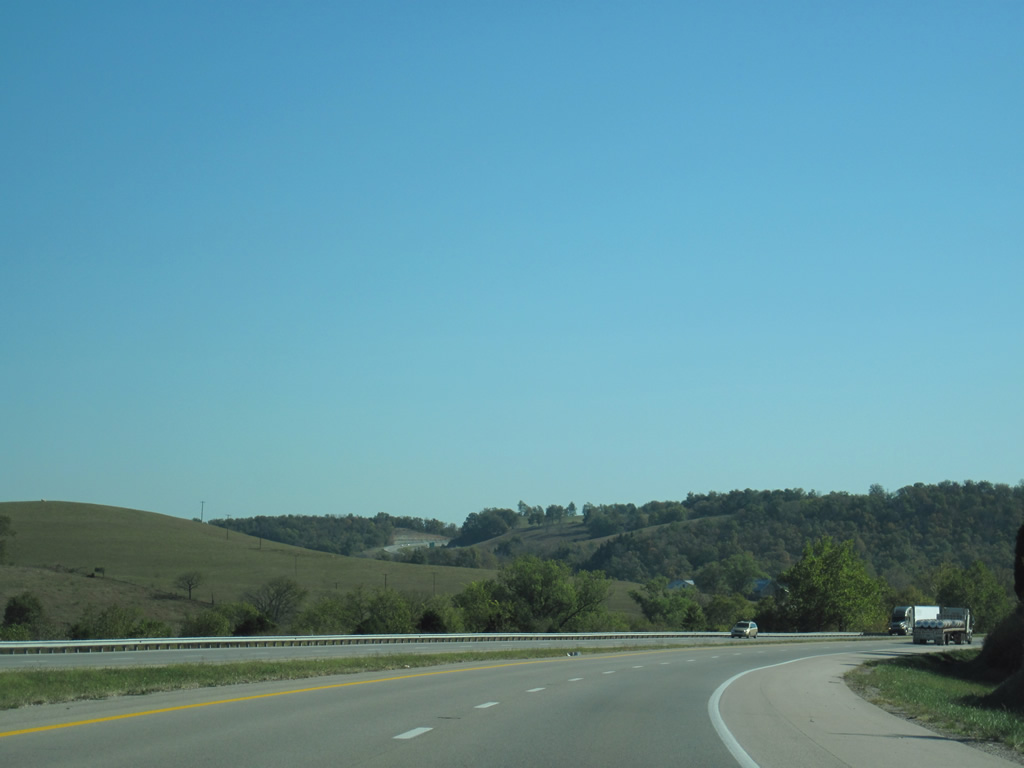
| Rural scenery along Interstate 64 from the Montgomery County line to the Stepstone Road overpass. 10/02/10 |
|
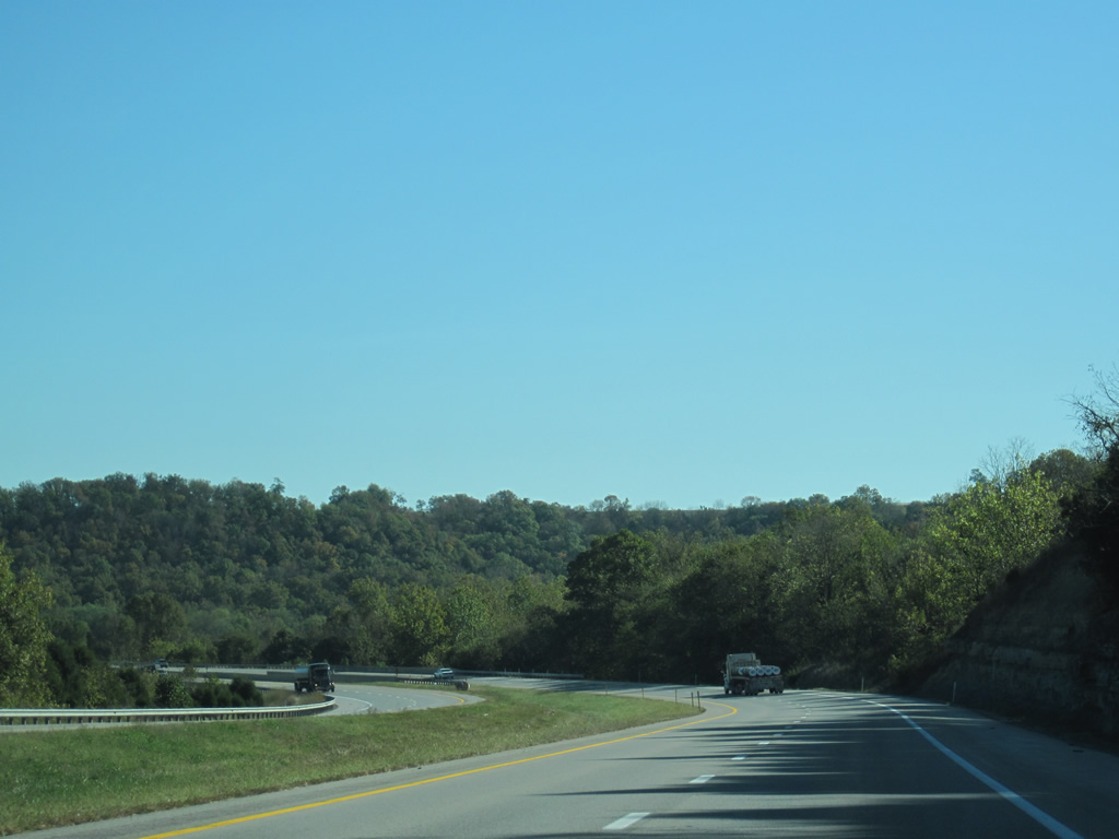
| The Interstate 64 climb onto the hill between Slate Creek comes into view as the area terrain becomes more hilly. 10/02/10 |
|
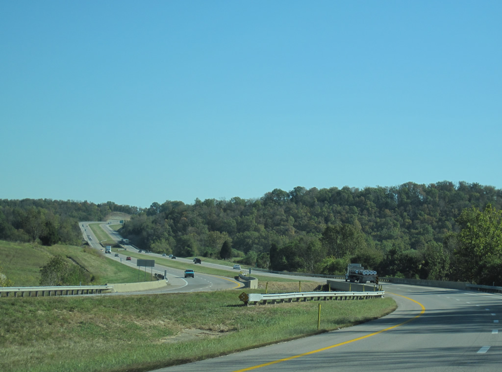
| Interstate 64 lowers to cross Salt Well Creek and South Garrett Road ahead of the first crossing of Slate Creek. This stretch of I-64 was completed in 1967. 10/02/10 |
|
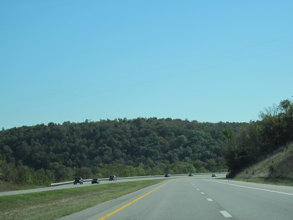
| i-064_eb_exit_121_09.jpg 10/02/10 |
|
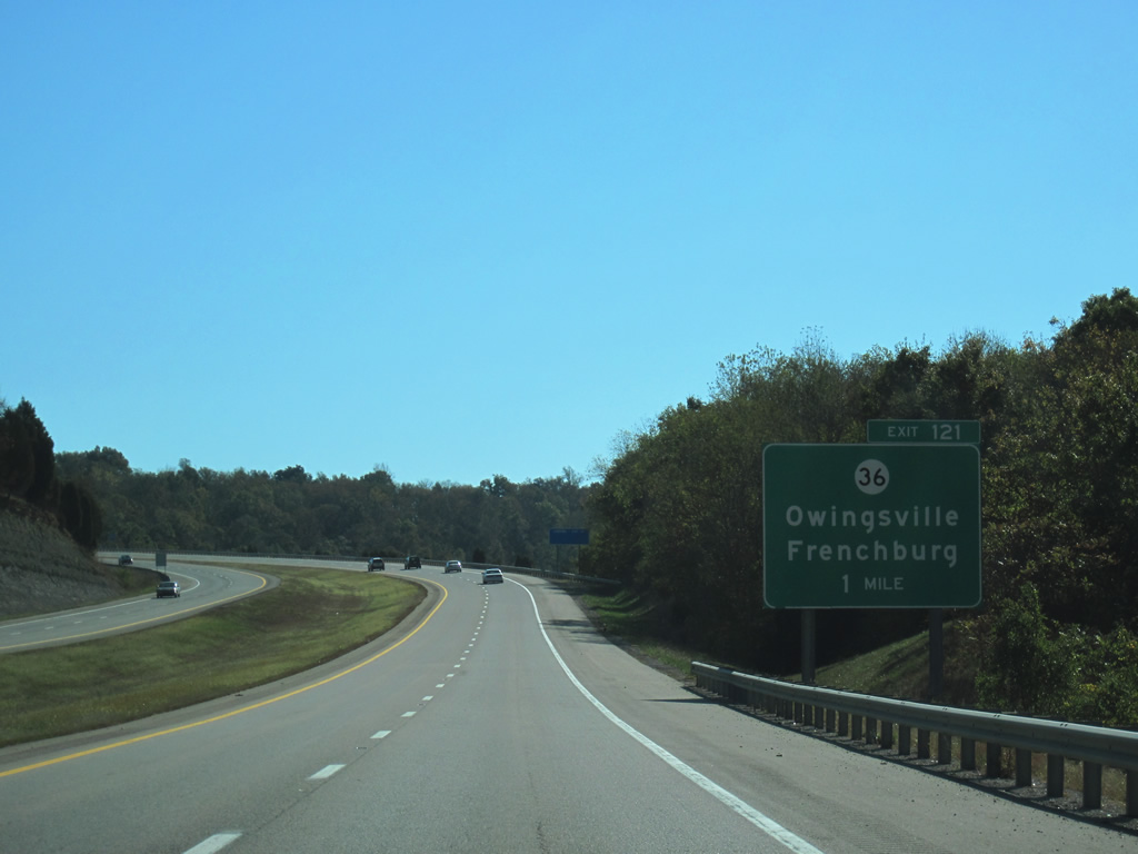
| Slicing through the hillside south of Slate Creek and Owingsville, eastbound drivers see the first guide sign for KY 36, a 120 mile route between Milton and U.S. 460 at Frenchburg. 10/02/10 |
|
| Around the bend from the two mile sign of Exit 121, Interstate 64 lowers again to cross Slate Creek. 10/02/10 |
|
| Interstate 64 curves easterly to meet KY 36 at a diamond interchange (Exit 121). KY 36 follows Slate Avenue north into Owingsville, where the state route joins U.S. 60 along a short overlap of Main, Suddith and High Streets before resuming a westward course to Reynoldsville and Carlisle. 10/02/10 |
|
| Sugarloaf Mountain comes into view at the panorama of Interstate 64 east at the Exit 121 off-ramp to KY 36. KY 36 south continues into Daniel Boone National Forest through the hamlets of Olympia, Olympia Springs and Sudith on the 17 mile drive to Frenchburg. 10/02/10 |
|
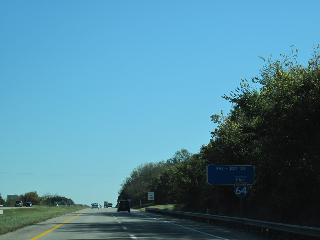
| U.S. 60 (Midland Trail) meanders east from Owingsville to the Exit 123 diamond interchange. 10/02/10 |
|
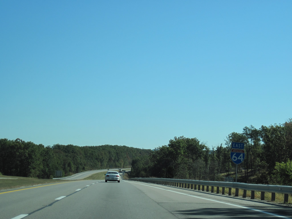
| Reassurance marker of Interstate 64 east, posted beyond the third crossing over Slate Creek. 10/02/10 |
|
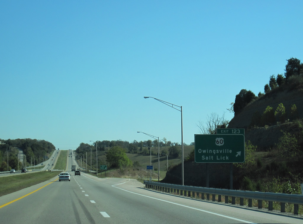
| East from Exit 123, U.S. 60 travels six miles to the city of Salt Lick. The US Route stays south of Interstate 64 and next meets the freeway at Exit 161. 10/02/10 |
|
| Eastbound distance sign posted 17 miles west of Morehead and 69 miles from Ashland. 10/02/10 |
|
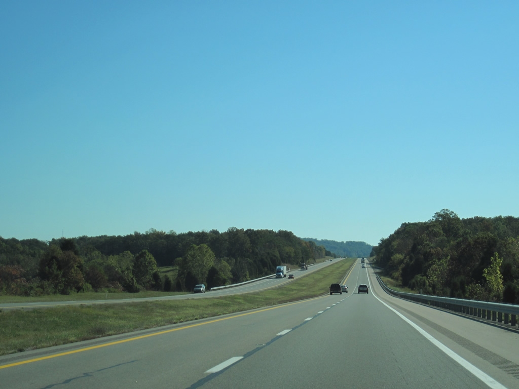
| A straight away of Interstate 64 east of Peasticks near Indian Creek. 10/02/10 |
|
| KY 211 (Moores Ferry Road) passes over I-64 en route between Salt Lick (U.S. 60) and Stringtown and nearby Fleming County. 10/02/10 |
|
| Spanning the Licking River, Interstate 64 leaves Bath County for Rowan County. A 19.71 mile stretch of freeway sees I-64 turn northeast across the northern third of the county formed in 1856 and named for John Rowan, a Kentucky Congressman. 10/02/10 |
|
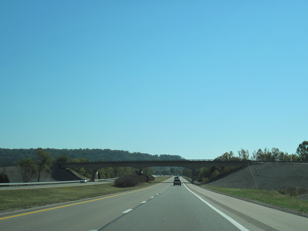
| Interstate 64 leaves a flat agricultural area by Licking River for more mountainous terrain at the KY 1722 overpass. 10/02/10 |
|
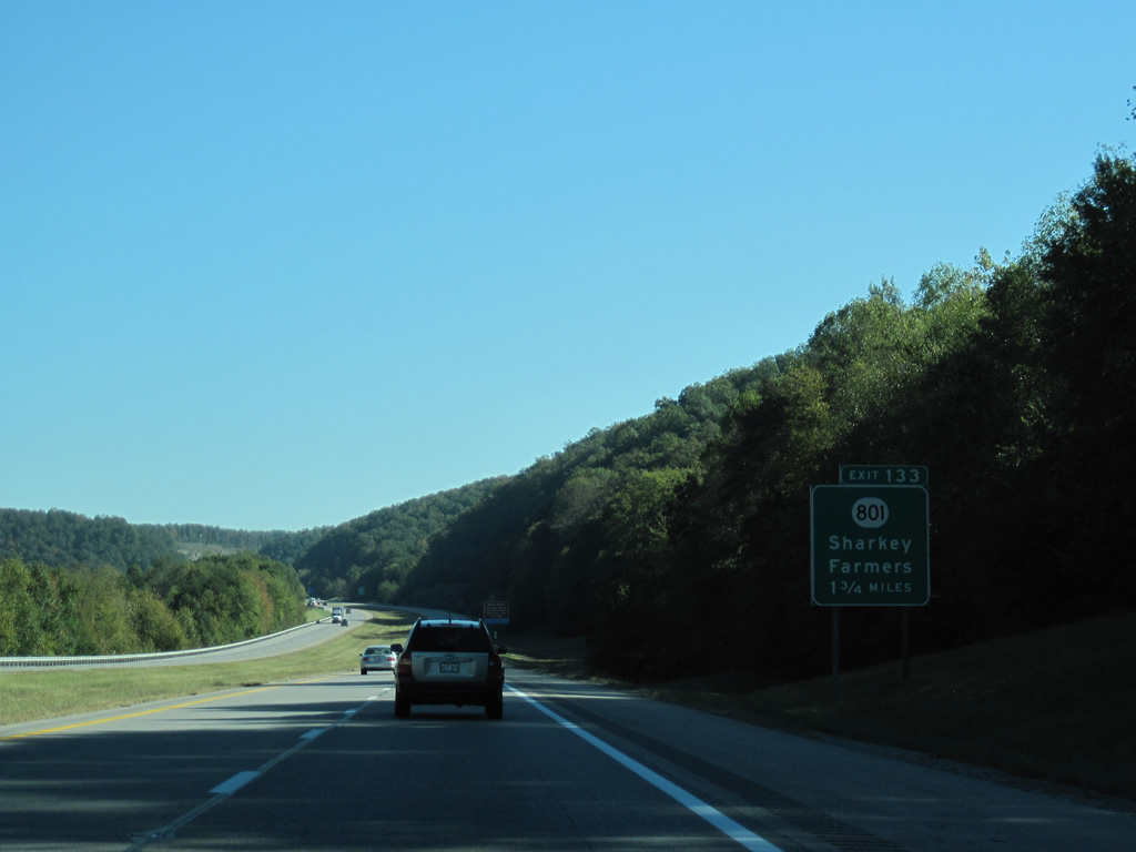
| Traveling through a valley along Bluebank Branch, Interstate 64 sees the 1.75 mile guide sign for KY 801 north to Sharkey and south to Farmers. 10/02/10 |
|
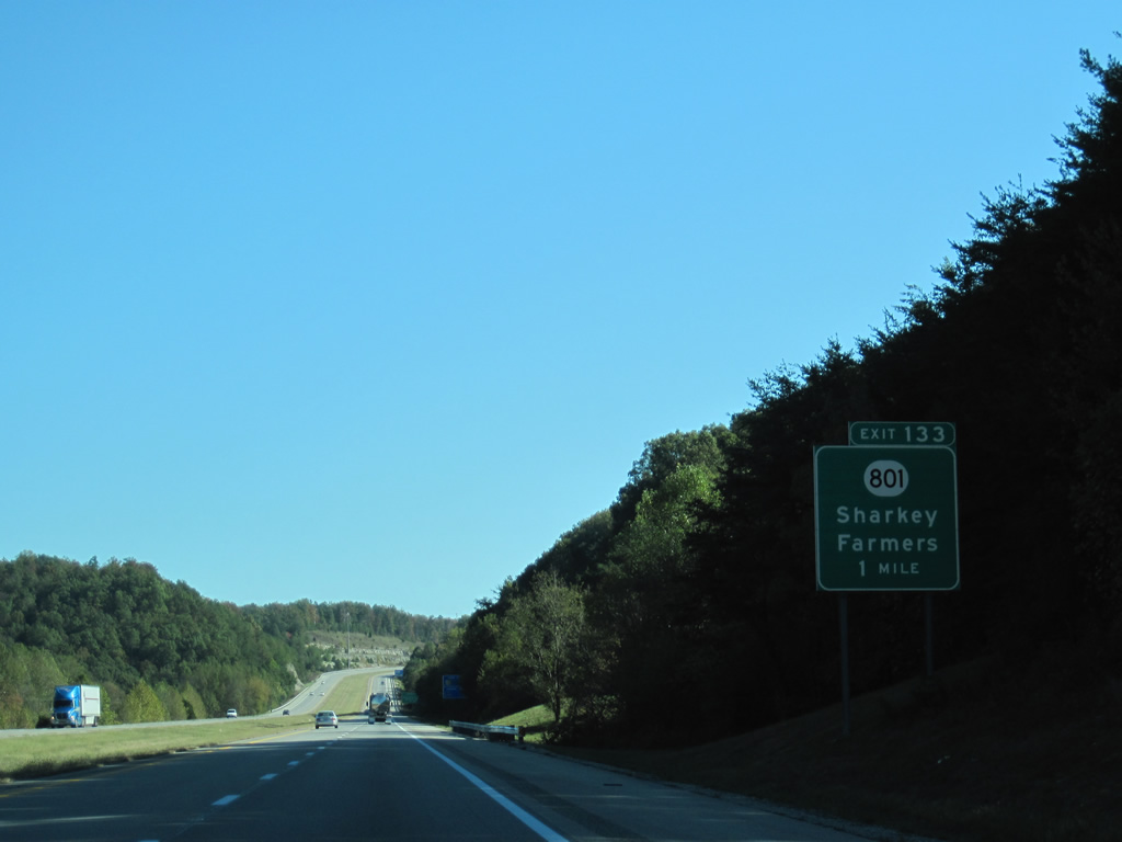
| One mile west of the Exit 133 diamond interchange with KY 801 along Interstate 64 east at Ramey. Exit 133 opened to traffic in 1993. 10/02/10 |
|
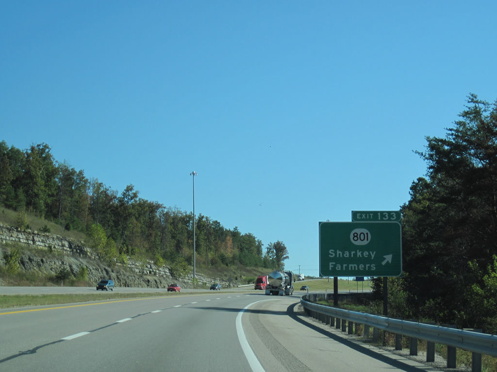
| Exit 133 departs Interstate 64 east for KY 801. KY 801 totals 17.93 miles overall between KY 519, east of Cave Run Lake in Daniel Boone National Forest, to KY 158 at Sharkey. 10/02/10 |
|
| A subdivision fronts the south side of Interstate 64 as the freeway leaves KY 801. 10/02/10 |
|
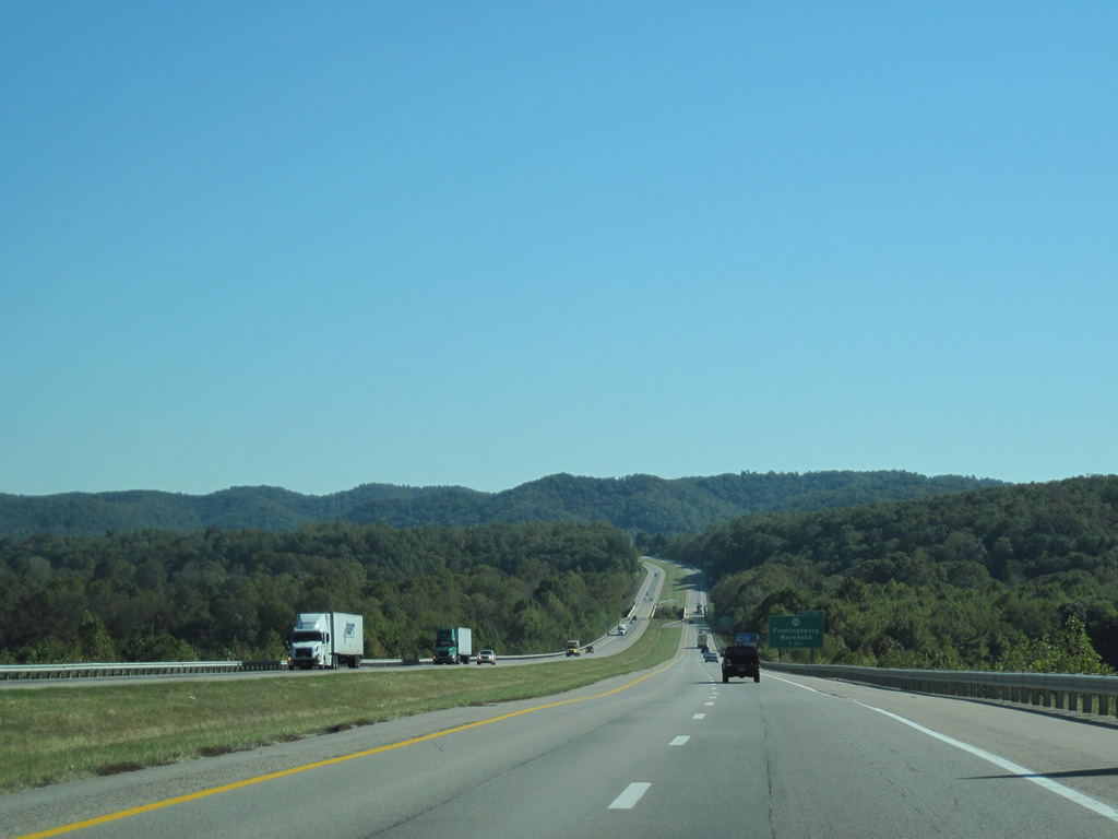
| Spanning a valley fed by waters of Bull Fork of Triplett Creek, two miles ahead of the diamond interchange (Exit 137) with KY 37 (Flemingsburg Road) on I-64 east. 10/02/10 |
|
| Lowering again, Interstate 64 approaches the North Fork Triplett Creek and prepares to curve northward parallel to the waterway through the low rise mountains of north Bath County. 10/02/10 |
|
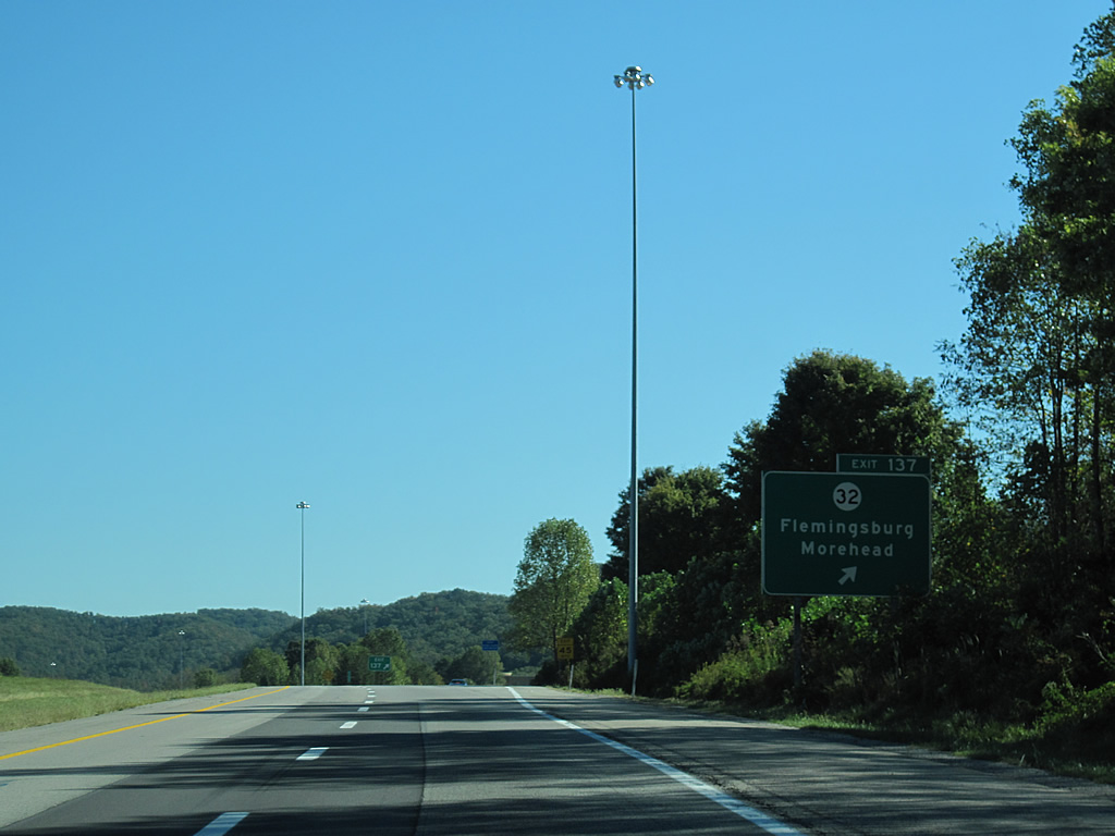
| One mile west of the Exit 137 off-ramp to KY 32 (Flemingsburg Road). A 161 mile route, KY 32 stretches across northeastern Kentucky between Georgetown and Louisa near the WV line. 10/02/10 |
|
| Nearing the commercialized junction of Interstate 64 and KY 32. Retail and hotels occupy three of the four quadrants of the junction. KY 32 provides the main route to Morehead, a city of 6,845 (2010 census). 10/02/10 |
|
| KY 32 leads northwest 23 miles through Hilda, Plummers Mill, Goddard and Bluebank to the Fleming County seat of Flemingsburg. Eastward, Flemingsburg Road carries the state route 2.75 miles to a merge with U.S. 60 (Wilikinson Boulevard) east. 10/02/10 |
|
| The longest exit less stretch in Kentucky commences as Interstate 64 leaves Morehead for Olive Hill. The Carter County seat of Grayson follows in 34 miles. 10/02/10 |
|
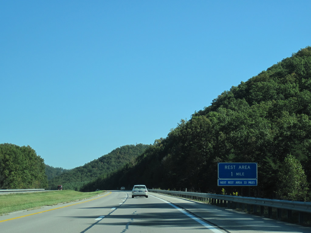
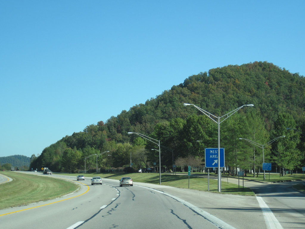
| Rest areas line both sides of Interstate 64 just northeast of Morehead. This is the fourth of five eastbound facilities within the Blue Grass state. 10/02/10 |
|
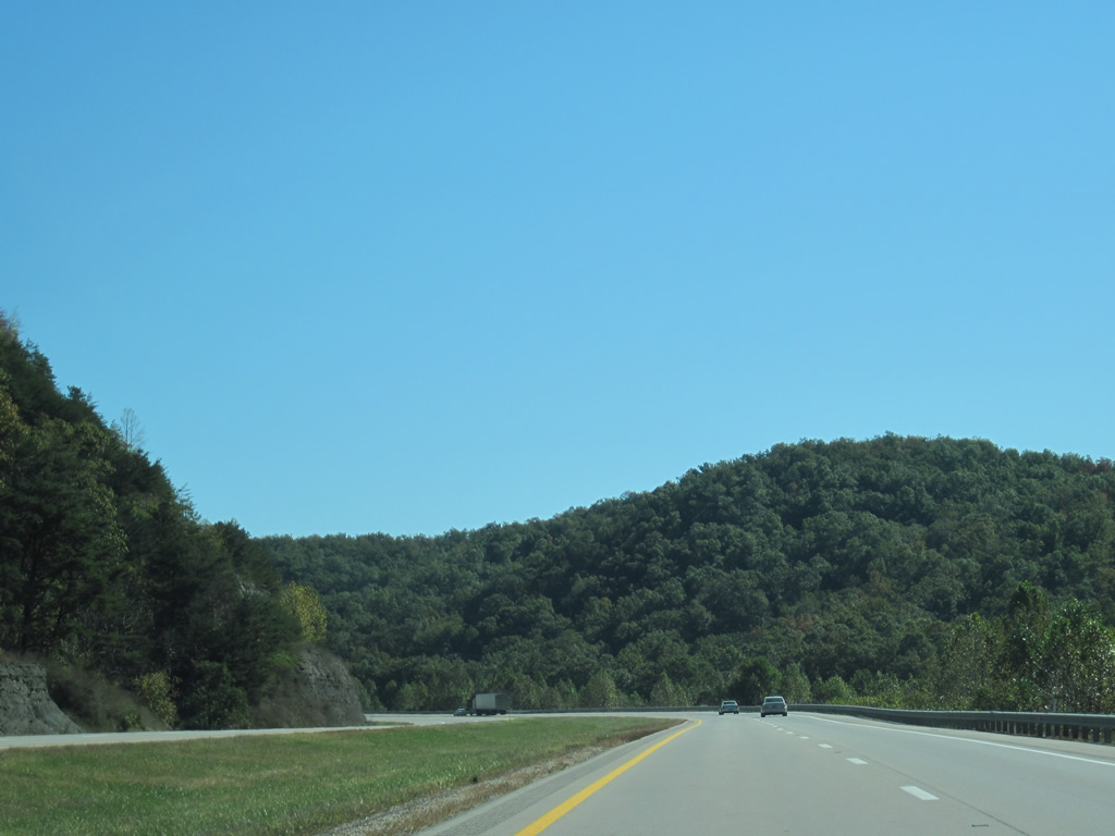
| Reassurance shield posted after the rest area as Interstate 64 near the KY 377 community of Cranston. 10/02/10 |
|
| Turning east, Interstate 64 parallels Haney Branch through a valley leading east from North Fork Triplett Creek. 10/02/10 |
|
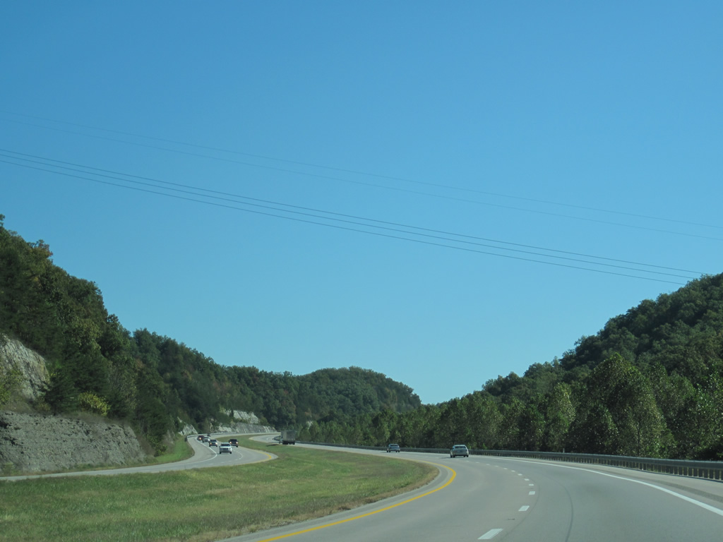
| Curving beyond the KY 799 (Big Perry Road) overpass through northern reaches of Daniel Boone National Forest. 10/02/10 |
|
| Entering Carter County along Interstate 64 east. The freeway continues 33.15 miles across the 1838-formed county named after William Grayson Carter, a Kentucky state senator at the time. 10/02/10 |
Page Updated 03-11-2012.


 East
East