|
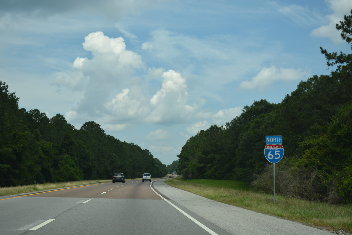
| Just east of Mobile County, Interstate 65 north kinks eastward over northern reaches of The Basin to rise again over the Middle River. 05/12/16 |
|
| Marking the Mobile/Baldwin County line north of Little Lizard Creek, the Middle River flows south from the Tensaw River between wetlands along the Mobile River and Mound Island. 05/12/16 |
|
| Descending from hump over the Middle River, Interstate 65 passes over Mifflin Lake. 05/12/16, 07/15/05 |
|
| The final high rise takes Interstate 65 north over the Tensaw River. The Tensaw River flows south from the Mobile River into Mobile and Polecat Bays. 05/12/16 |
|
| SR 225 meets I-65 three miles south of Stockton. When Spain owned Florida, its boundary extended westward along the 31st parallel. This boundary was marked by the Ellicott Stone at Stockton in 1799, which started as an international border town. The stone is named for Major Andrew Ellicott, the surveyor of the border appointed by President George Washington. 06/07/17 |
|
| SR 225 parallels the Tensaw River southward from the diamond interchange (Exit 34) with I-65 to Historic Fort Blakeley State Park and Spanish Fort. Fort Blakeley and Spanish Fort played key roles in the Confederacy's last stand in the Civil War. 06/07/17 |
|
| SR 225 travels 23.91 miles overall between U.S. 31 (Spanish Fort Boulevard) and SR 59 in Stockton. Much of the state route is rural, except for the southernmost stretch of roadway at Spanish Fort. 06/07/17 |
|
| The roadways of Interstate 65 expand outwards with a forested median between Exits 31 and 34. 06/07/17 |
|
| Meeting Interstate 65 next is SR 59, a 93.67 mile long highway between Uriah and Gulf Shores. SR 59 provides one of two direct routes to the Baldwin County seat of Bay Minette. 06/07/17 |
|
| SR 59 links rural areas of northern Baldwin County with the resort communities of Gulf Shores and Orange Beach. The highway doubles as Gulf Shores Parkway from SR 287 south to the Gulf of Mexico. The four to five lane arterial constitutes the main route to the coast from points north. 06/07/17 |
|
| SR 59 travels a short distance northwest from the diamond interchange at Exit 34 to Stockton and Vaughn. Southward the highway meets SR 287 (Rabun Road) at Hand and McMeans Avenue in Bay Minette. 06/07/17 |
|
| Confirming marker for Interstate 65 north posted after SR 59. 06/07/17 |
|
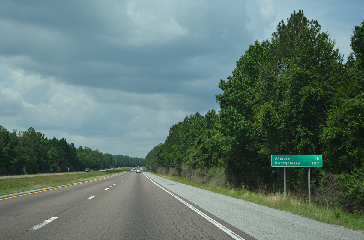
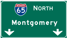
| The ensuing distance sign again lists Bay Minette as the next destination city. Montgomery is 138 miles to the northeast. 06/07/17 |
|
| SR 287 follows Rabun Road (Gulf Shores Parkway) north from SR 59 (McMeans Avenue) and Hand Avenue in Bay Minette to I-65. The state route travels 6.25 miles overall between Courthouse Square (U.S. 31) and CR 47 just north of Exit 37. 06/07/17 |
|
| SR 287 was expanded to five overall lanes by 2001 between SR 59 and Interstate 65 as part of the overall Gulf Shores Parkway route. County Route 47 extends north from Exit 37 to Rabun. 06/07/17 |
|
| CR 47 (Rabun Road) arcs northeast from the diamond interchange at Exit 37 and SR 287 to Jack Springs Road, where it splits into separate branches to Lottie / Redtown and Perdido respectively. 06/07/17 |
|
| Advancing northeast, Interstate 65 continues another 10.5 miles to the Escambia County line. 05/12/16 |
|
| Perdido is the next destination along Interstate 65 north. The capital city is 134 miles away. 06/07/17 |
|
| The freeway again expands to accommodate a forested median north of the Hoyle Bryars Road overpass and the St. Stephens Baseline, the 30th parallel. 02/07/06 |
|
| CR 47 returns to Interstate 65 by way of Rabun to Exit 45 near the community of Perdido. 05/12/16 |
|
| One half mile west of the diamond interchange (Exit 45) with CR 47 on Interstate 65 north. CR 47 connects with U.S. 31 near the Escambia County line west of Atmore. 05/12/16 |
|
| CR 47 meets one of the three branches of CR 61 in Perdido. One branch follows the CSX Railroad west to Hoyle Bryars Road and east to the Escambia County line. The second follows Lottie Road across I-65 to Lottie and Redtown while the third loops west from CR 47 to U.S. 31 on Cemetery Road. 06/07/17 |
|
| Interstate 65 enters Escambia County just east of the CR 61 (Lottie Road) overpass. 06/07/17 |
|
| CR 1 (Jack Springs Road) travels southeast I-65 to Freemanville and Atmore. Replacing the one mile sign, this assembly for Exit 54 is incorrect at a half mile. 06/07/17 |
|
| The diamond interchange with CR 1 (Jack Springs Road) serves the Poarch Creek Indian Reservation nearby. CR 1 travels northwest from Interstate 65 to Jack Springs and Booneville, eventually meeting SR 59 east of Chrysler. 06/07/17 |
|
| Exit 54 provides one of two routes to Atmore via CR 1 to Howard Street north of SR 21 (Main Street) and Downtown. 06/07/17 |
|
| Continuing north of Atmore, Interstate 65 next meets SR 21 at Exit 57. 06/07/17 |
|
| Operated by the Poarch Band of Creek Indians, the Wind Creek Atmore Casino lies just south of Exit 57 along SR 21. 06/07/17 |
|
| SR 21 represents an important corridor between Atmore and Monroeville, carrying four lanes southward to the Florida state line, where it transitions to SR 97. 06/07/17 |
|
| CR 14 spans Interstate 65 a half mile from the diamond interchange (Exit 57) with State Route 21. 06/07/17 |
|
| North from Exit 57, SR 21 travels eight miles to Huxford and 13 miles to SR 59 at Uriah. SR 21 measures 278.47 miles overall from Florida to Piedmont in northeastern Alabama. 06/07/17 |
|
| Interstate 65 next meets SR 113, which connects the freeway with Flomaton near the state line. Flomaton however is more directly reached from I-65 via SR 21 and U.S. 31 north. 06/07/17 |
|
| Interstate 65 traverses a series of hills and large swaths of pine forest on the 12 mile exit less stretch between Atmore and Barnett Crossroads. 07/15/05 |
|
| Interstate 65 spans Big Escambia Creek northeast of Wet Weather Creek. 07/15/05 |
|
| SR 113 branches 14 miles north from U.S. 29/31 outside of Flomaton to Interstate 65. The state route travels 15.46 miles overall between Exit 69 and the Florida state line. 06/07/17 |
|
| Along with U.S. 29 north to Flomaton, SR 113 constitutes the main route joining Pensacola, Florida with I-65. CR 17 continues SR 113 north from Exit 69 to CR 40 at the community of Barnett Crossroads. CR 40 leads east to Wallace and SR 41. 06/07/17 |
|
| Four-laning of SR 113 between Exit 69 and U.S. 29/31 was completed on November 12, 2008. Work commenced September 11, 2007 on the $22.7 million project. Plans to expand the corridor originated in 1967. While U.S. 29 was widened by 1990 in Florida, only right of way was acquired by Alabama in the 1970s.1 06/07/17 |
|
| The succeeding exit joins Interstate 65 with SR 41 south to the Escambia County seat of Brewton. Montgomery is 103 miles to the northeast. 06/07/17, 10/06/16 |
|
| I-65 lowers across Dean Creek on the straight away between Barnett Crossroads and the county line. 06/07/17 |
|
| Interstate 65 concludes a 27.92 mile course through Escambia County and enters Conecuh County. 10/06/16 |
Page Updated 11-21-2020.

 North
North