|
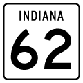
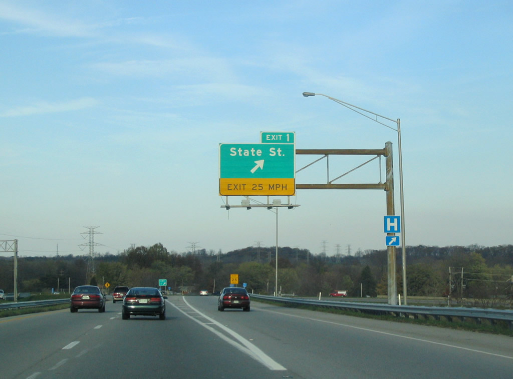
| SR 62 joins Interstate 265 from I-64/U.S. 150 east. The pair meet State Street, former U.S. 150, at a folded diamond interchange (Exit 1) in New Albany. 11/12/04 |
|
| The first eastbound reassurance shield for Interstate 265 accompanies SR 62. 11/12/04 |
|
| Exit 1 leaves I-265/SR 62 as the first of three interchanges for New Albany. State Street / Paoli Pike follows old U.S. 150 from Floyds Knob east into downtown New Albany. 11/12/04 |
|
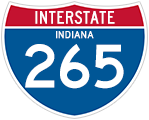
| The freeway was named after legislator Lee H. Hamilton soon after his retirement in 1999, another example of a state naming a freeway after a still-living politician. 11/12/04 |
|
| This distance sign lists the final three interchanges of the 6.73 mile Interstate 265. 11/12/04 |
|
| Grant Line Road (Former SR 111) crosses paths with I-265/SR 62 at a diamond interchange (Exit 3). The state road traveled 35.9 miles north from a dead end at the Ohio River in southern Harrison County to Bennettsville (SR 60), but was truncated north of Interstate 64 by early January 2013.1 11/12/04 |
|
| Eastbound I-265/SR 62 at Exit 3 to Grant Line Road (old SR 111). SR 111 formerly ventured south to Beechwood Avenue and Vincennes Street into downtown New Albany. Heading west, the road straddles along the Ohio River along a scenic route to New Boston. Indiana University Southeast lies just to the north of Exit 3. 11/12/04 |
|
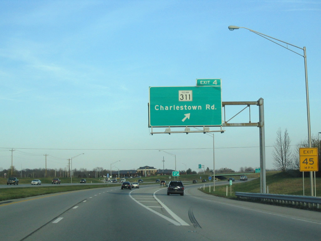
| Residential development abuts both sides of the freeway between Grant Line Road and Exit 4 (former SR 311). SR 311 (Charlestown Road) began at the forthcoming diamond interchange and traveled north 7.3 miles to U.S. 31 in Sellersburg. The entire routing of the state route was turned back to Floyd and Clark Counties by January 2013.1 11/12/04 |
|
| I-265/SR 62 eastbound at Charlestown Road and the former northbound beginning of SR 311 in northeast New Albany. SR 311 previously traveled south into New Albany, ending at what was SR 111. This alignment was also originally a part of U.S. 31W. 11/12/04 |
|
| The first sign of the current eastern terminus of Interstate 265, Interstate 65 (Exit 7). Interstate 65 connects Louisville with the Indiana cities of Clarksville and Jeffersonville to the north. 11/12/04 |
|
| The final Interstate 265 eastbound shield assembly, again co-signed with SR 62, which continues east along SR 265 to its current end. 11/12/04 |
|
| A directional cloverleaf interchange handles the movements between Interstates 265 and 65 at Exit 7. All interests to Interstate 65 depart in unison within northern reaches of Clarksville. 11/12/04 |
|
| I-265/SR 62 cross Silver Creek, the dividing line between Floyd and Clark Counties, ahead of the Exit 7 ramp departure to Interstate 65. Interstate 265 ends and SR 265 begins. This interchange opened in 1977 with the SR 265 extension following in 1995. Construction of the new Ohio River Bridge further east will connect Interstate 265 in Indiana with the Kentucky Interstate 265. 06/07/12 |
|
| Drivers partition between ramps to Interstate 65 north for Columbus and Indianapolis and Interstate 65 south for Clarksville, Jeffersonville, and downtown Louisville. Interstate 65 through Clark County was completely rebuilt from 1999-2003 as part of a project known as "Revive 65" which saw lanes added and interchanges realigned. 11/12/04 |
|
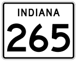
| SR 62 & 265 pass over U.S. 31 and Hamburg Pike on its departure from Interstate 265. SR 265 was built as an eastern extension of the interstate to better serve the Port of Indiana. 11/04/09 |
|
| One mile out from the three-quarter cloverleaf interchange (Exits 10A/B) with East 10th Street (former SR 62) and SR 62's northbound departure. 11/04/09 |
|
| A pair of end shields advise motorists of SR 265's conclusion in one mile. 11/04/09 |
|
| Exit 10A departs in one half mile for 10th Street south into downtown Jeffersonville. SR 62 followed this route to U.S. 31 and Brown's Station Way through Jeffersonville before its relocation onto Interstate 265. 11/04/09 |
|
| A stub end awaits its continuation of Interstate 265 to the East End Bridge project. Construction will extend this freeway north and east from here, with a Y-interchange allowing Port traffic to enter onto the freeway headed west. 11/04/09 |
|
| Exit 10A leaves SR 62 & 265 east at milepost 9.0. East 10th Street leads south into the Oak Park community nearby. SR 62 east meanwhile utilizes the Exit 10B loop ramp and returns to its original alignment en route to Charlestown and Madison. 11/04/09 |
|
| End SR 265 shields reside at the split between Exit 10A (SR 62 east) and Port Road southeast to the Port of Indiana Jeffersonville (formerly the Clark Maritime Center). 11/04/09 |
|
| Milepost 10.0 of Interstate 265 follows along Port Road southeast of its beginning with SR 62 and 265. The two lane highway continues to Utica Pike and Port of Indiana Jeffersonville, one of three statewide ports. 11/04/09 |
Page Updated 02-26-2013.