|
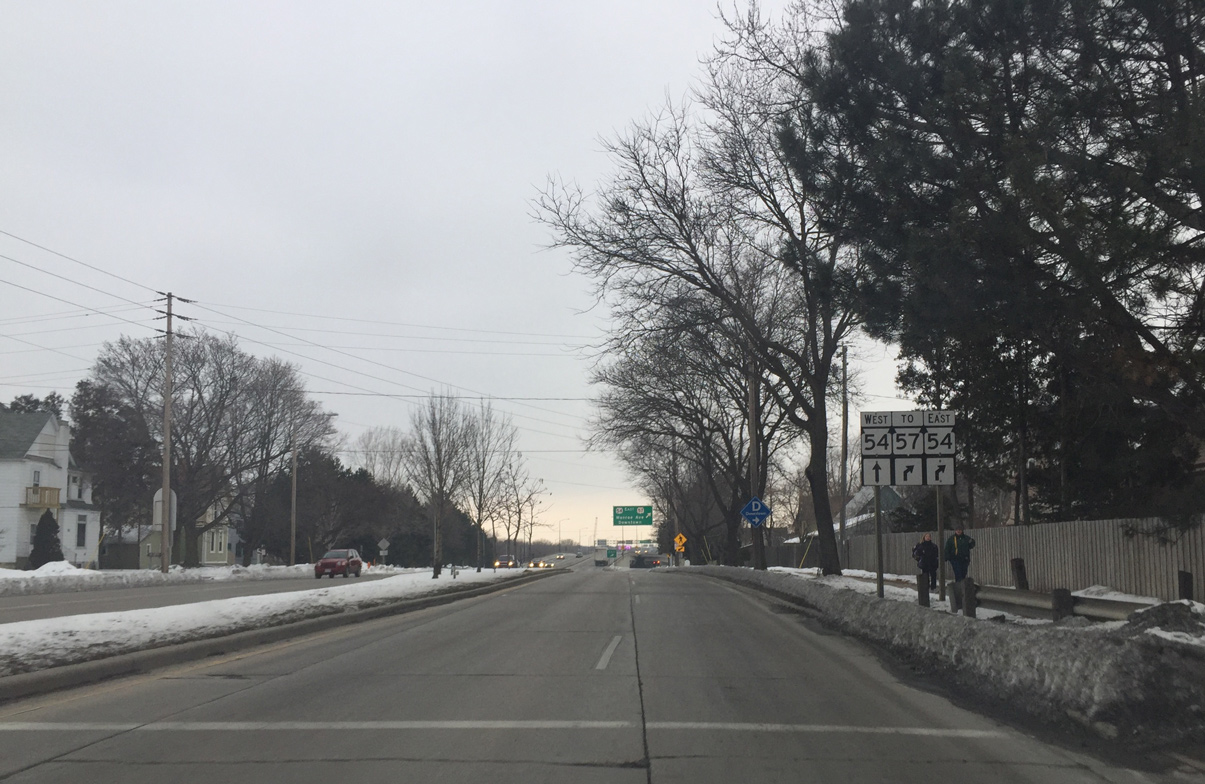
| Mason Street leads west from Webster Avenue toward the ramps with STH-57 and STH-57 (Monroe Avenue). The four lane boulevard defaults motorists otherwise onto the Mason Street Bridge. 01/21/16 |
|
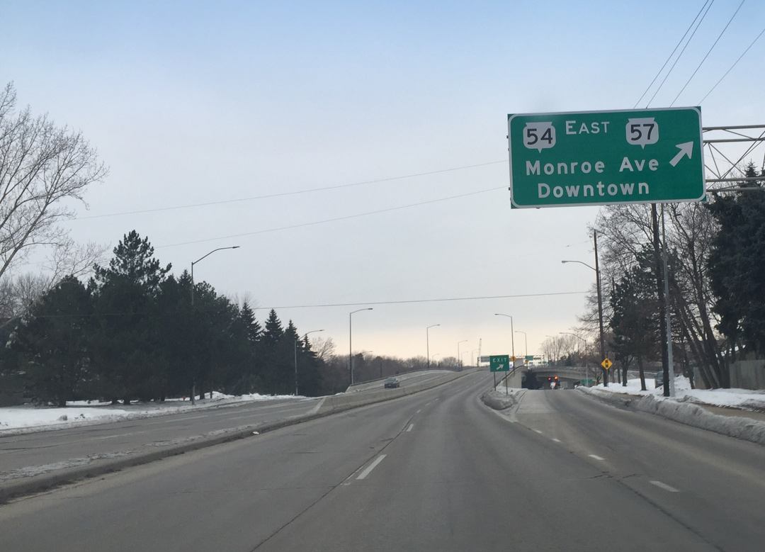
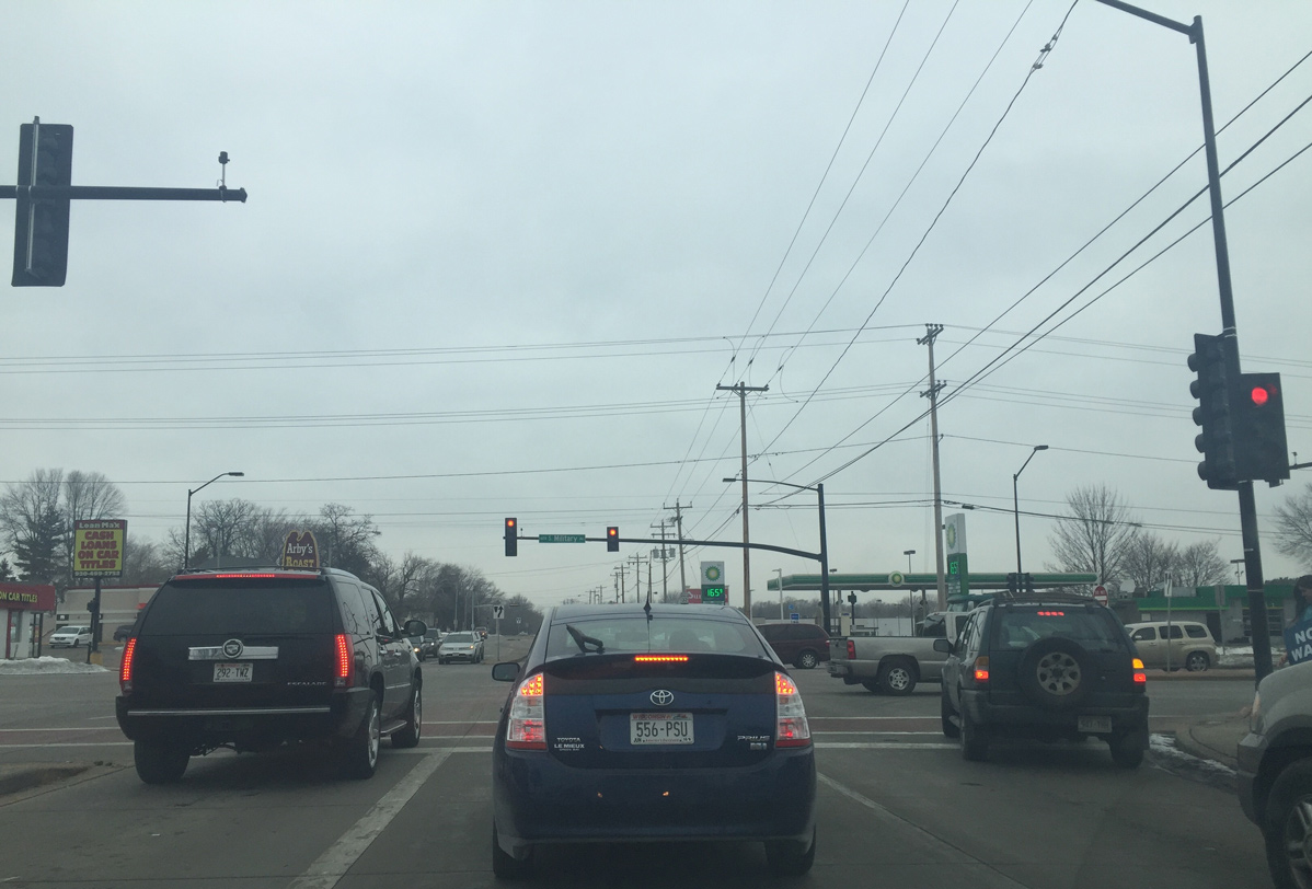
| Wis 54/57 overlap southward from Downtown Green Bay along Monroe Avenue. Wis 54 turns west to cross the Fox River on the Mason Street Bridge while Wis 57 remains south to Allouez and De Pere. 01/21/16 |
|
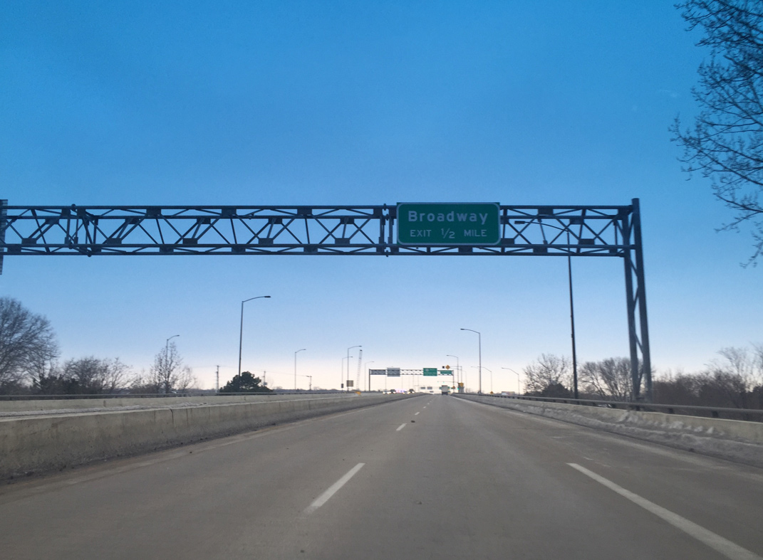
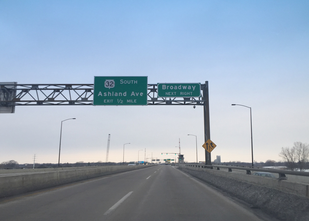
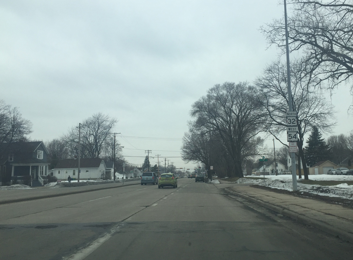
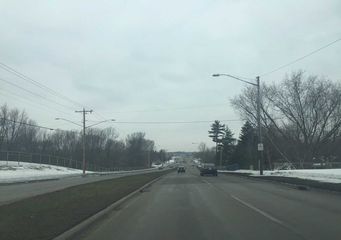
| Traveling west along the Mason Street viaduct, STH-54 advances one half mile toward the wye interchange with Broadway. 01/21/16 |
|
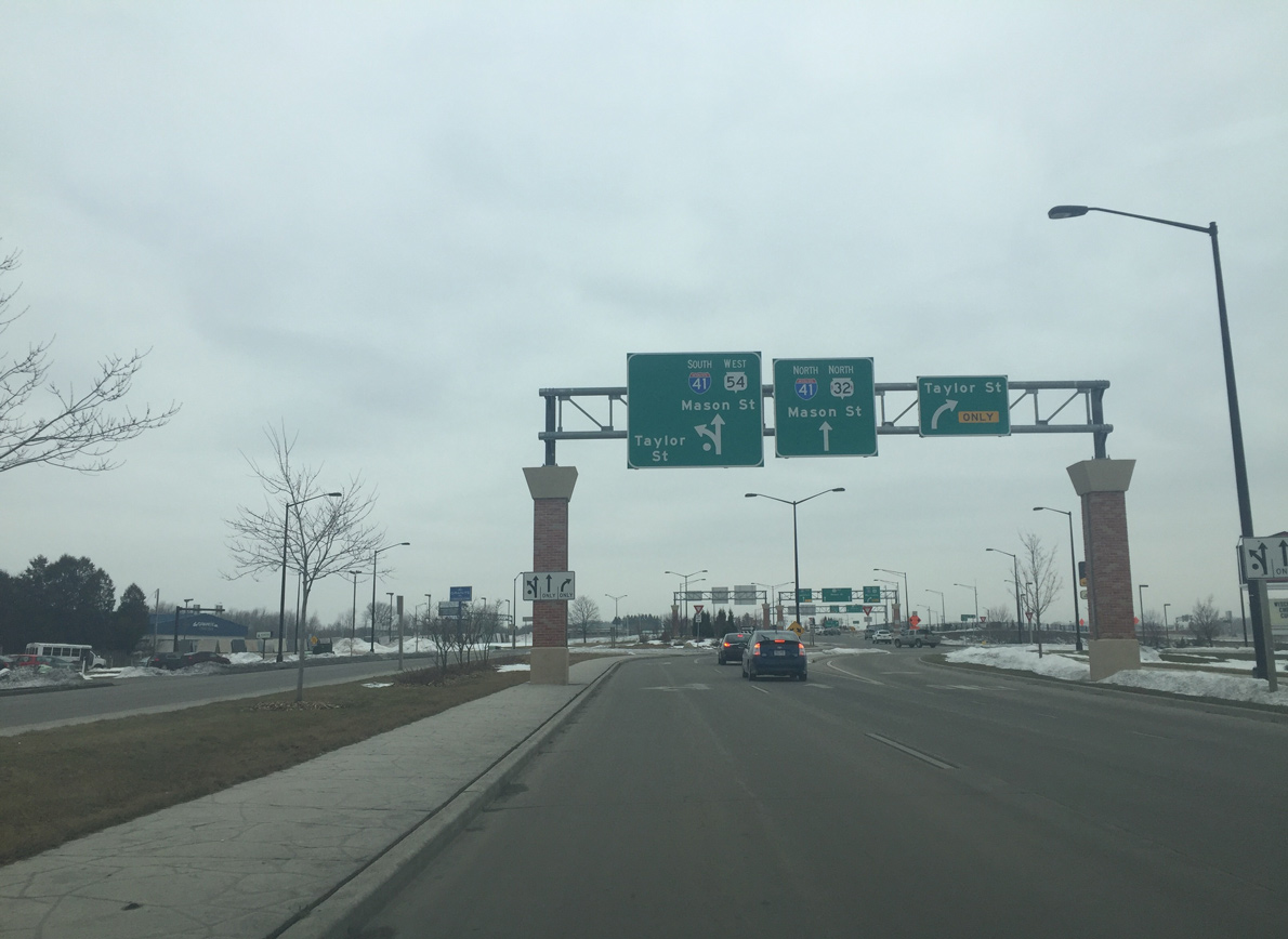
| A second off-ramp quickly follows the exit to Broadway for STH-32 south along Ashland Avenue. STH 32 north overlaps with STH 54 west to Interstate 41 north. 01/21/16 |
|
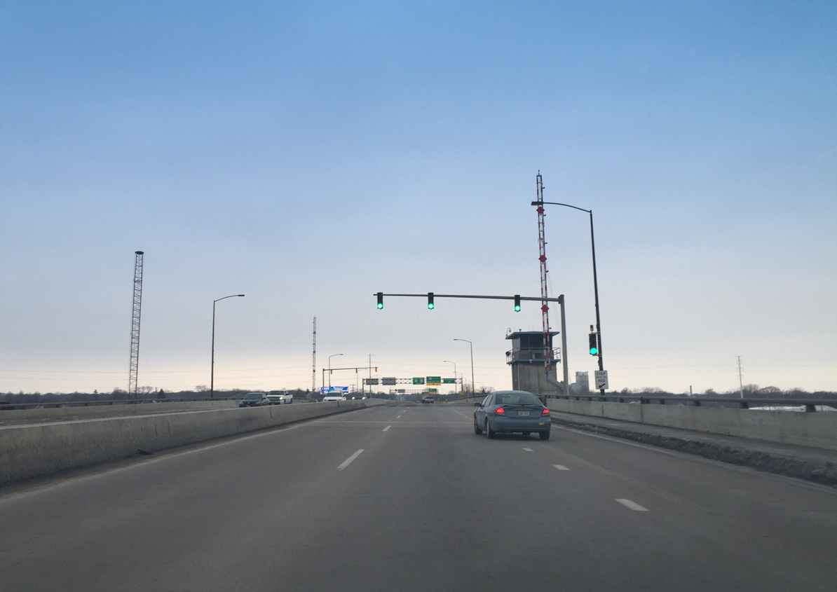
| Auxiliary lanes in both directions of Wis 54 expand the Mason Street Bridge to six overall lanes across the Fox River. 01/21/16 |
|
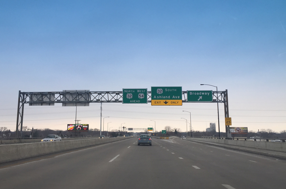
| Broadway runs along the west side of the Fox River through industrial areas both north and south of the Mason Street Bridge. A lane drop occurs otherwise as Wis 54 enters the adjacent diamond interchange with Ashland Avenue. 01/21/16 |
|
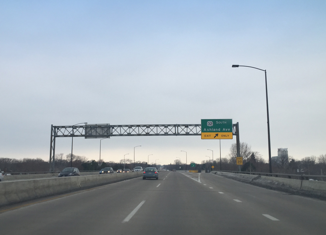
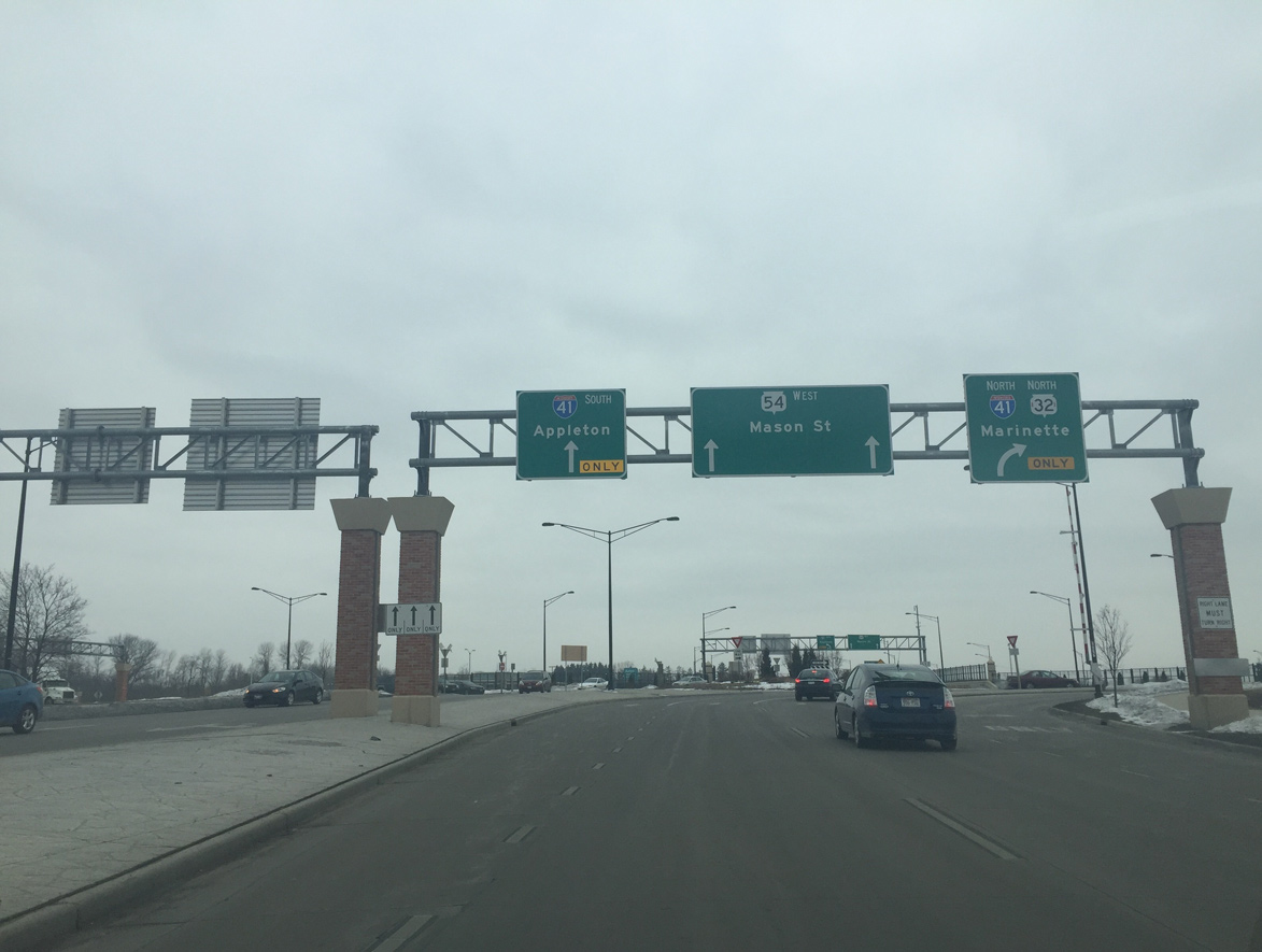
| Wis 32 (Ashland Avenue) runs south along a mostly access controlled arterial to the village of Ashwaubenon and the Wis 172 freeway. Historically the trunk highway turned south onto Ashland Avenue from Lombardi Avenue, 1.25 miles to the south. 01/21/16 |
|
| With Wis 32 merged on, the freeway portion of Wis 54 (Mason Street) ends at 10th Avenue. 02/23/16 |
|
| The two trunk highways advance another two blocks along Mason Street to a traffic light at 12th Avenue. 01/21/16 |
|
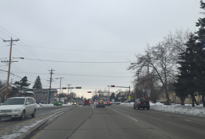
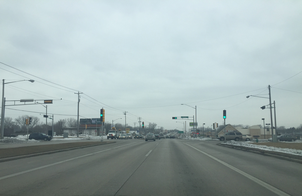
| Wis 32/54 (Mason Street) forms a four lane arterial with intermittent turn lanes after 12th Avenue. 02/23/16 |
|
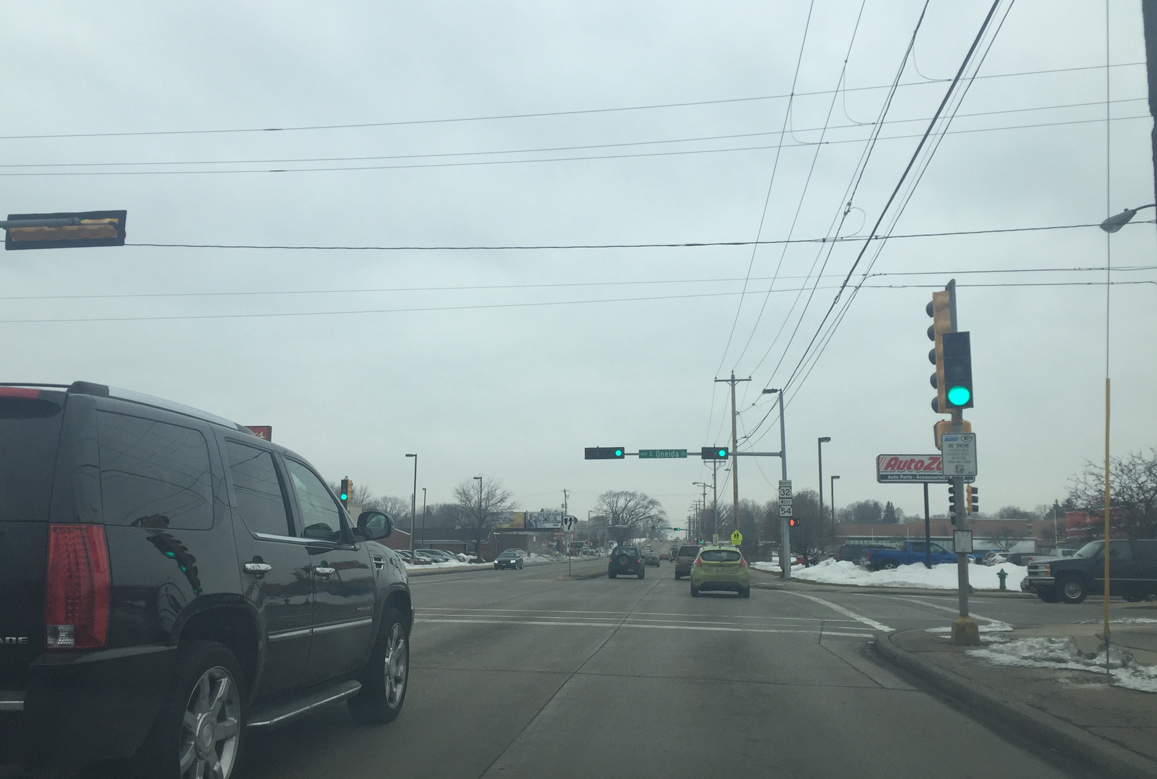
| Westbound Mason Street at the intersection with Oneida Street. Oneida Street leads southwest through the Colburn neighborhood to Lambeau Field. 02/23/16 |
|
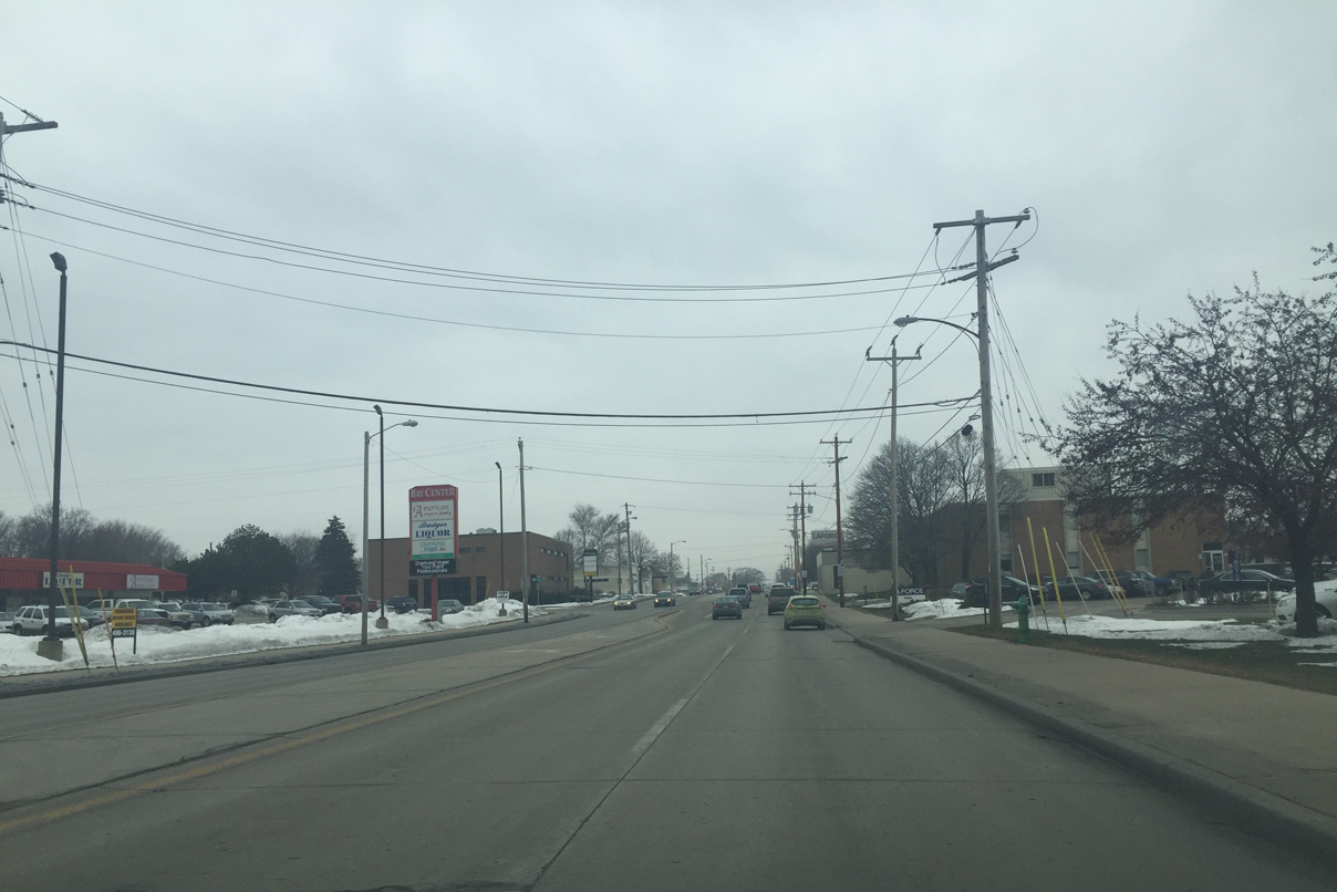
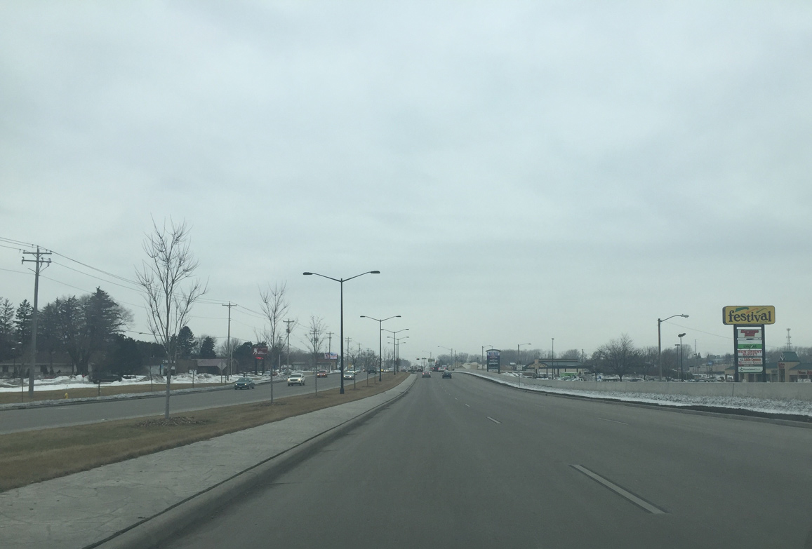
| Wis 32/54 pass by Green Bay Plaza shopping center to next intersect Military Avenue. Military Avenue is the pre-freeway alignment of US 41. In 2010, the road was reduced from six lanes to four and there was a controversial decision to replace all of the signals with roundabouts, but that plan was dropped due to community opposition. 02/23/16 |
|
| Mason Street curves southwest across Beaver Dam Creek on the approach to Interstate 41. 02/23/16 |
|
| A roundabout with Taylor Street precedes the dumbbell interchange with Interstate 41. Taylor Street serves businesses along the east side of I-41. 02/23/16 |
|
| Entering the roundabout with the north side ramps with I-41 interchange on Wis 54 west. Wis 32 north turns right onto collector distributor lanes of Interstate 41 before joining Wis 29 west. 02/23/16 |
|
| Wis 54 expands to six lanes between I-41 and Hinkle Street. 02/23/16 |
|
| The ensuing traffic light is located at the intersection with Hinkle Street. The street is named after former Packer Clark Hinkle, and the other streets in the business park are named after former Green Bay Packers. 02/23/16 |
|
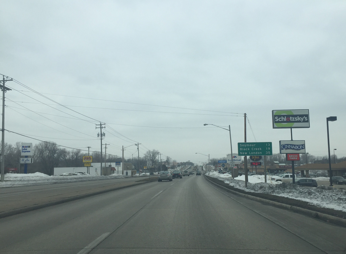
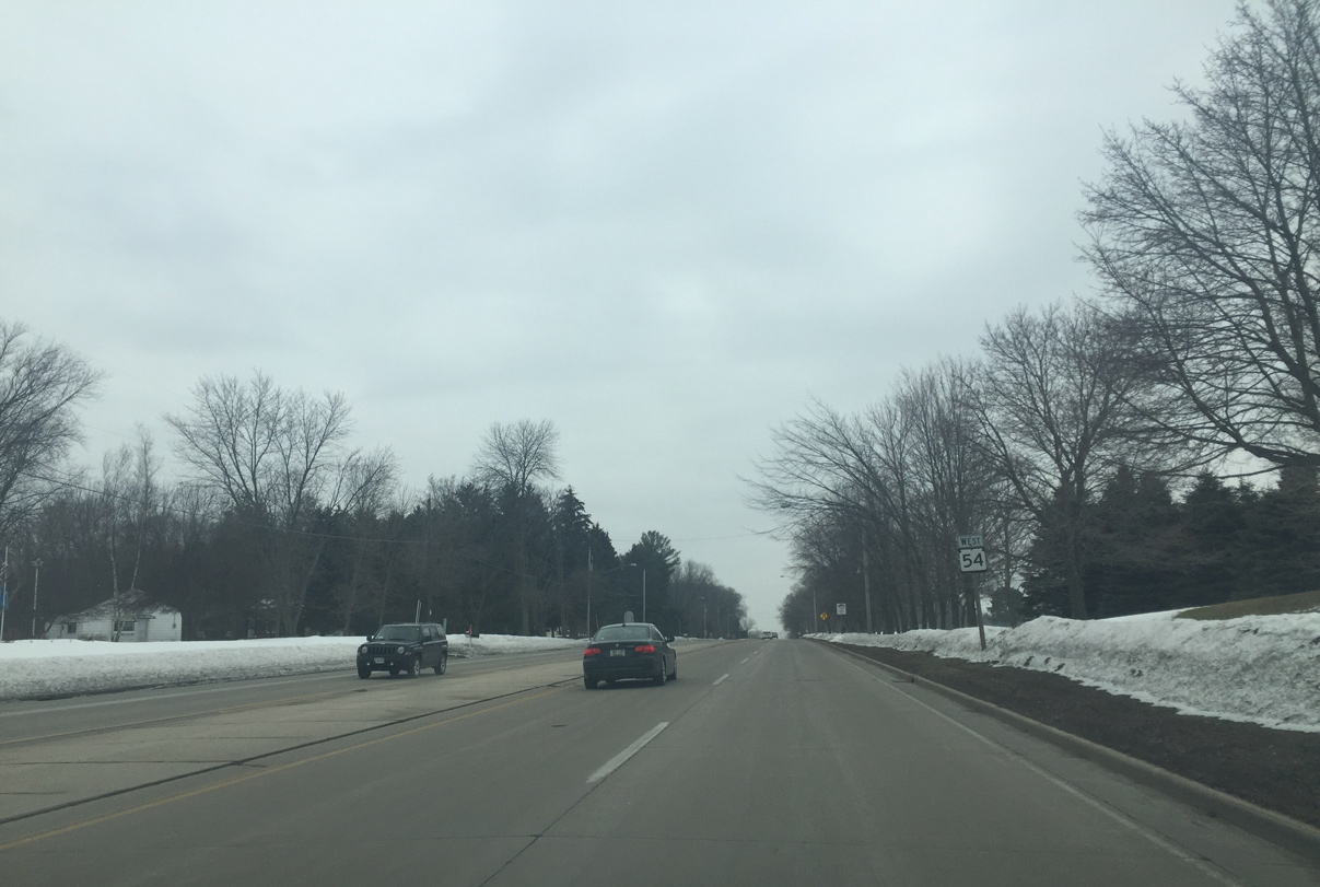
| Advancing west, STH-54 leaves Green Bay for the city of Seymour in 13 miles. New London and U.S. 45 lies 35 miles to the southwest. 02/23/16 |
|
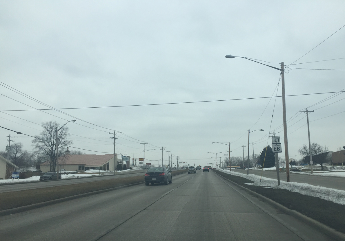
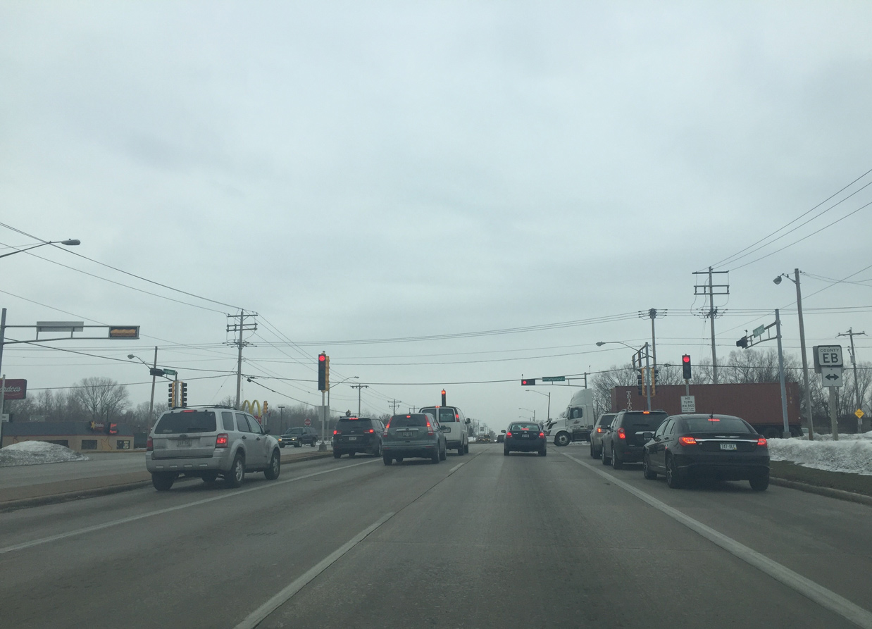
| Approaching County EB (Packerland Drive) on Wis 54 (Mason Street) west. County EB is a four lane arterial that parallels I-41 from Hobart to Howard. 02/23/16 |
|
| CTH-EB (Packerland Drive) forms a west side arterial to Green Bay, while CTH-EA travels through eastern reaches of the city. The trunk highway runs 15.6 miles from CTH-F near De Pere to U.S. 41/141 on Lakeview Drive. 02/23/16 |
|
| STH-54 (Mason Street) west at the intersection with Country Club Drive. This is the main entrance to Northeast Wisconsin Technical College (NWTC). 02/23/16 |
|
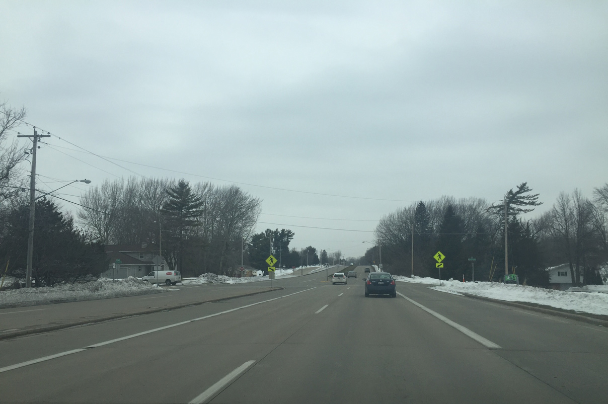
| Wis 54 continues towards the outskirts of Green Bay by the Fritsch Park neighborhood. 02/23/16 |
|
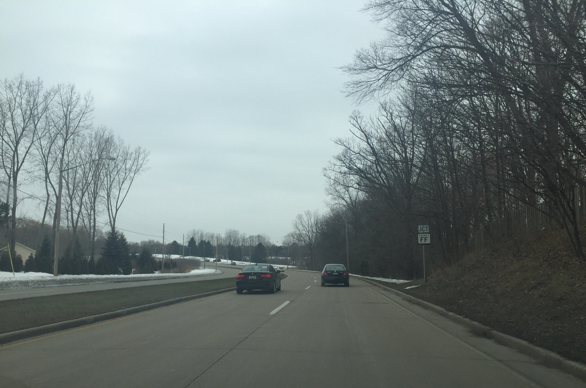
| Nearing the south end of County FF (Hillcrest Drive) along STH-54 (Mason Street) west. 02/23/16 |
|
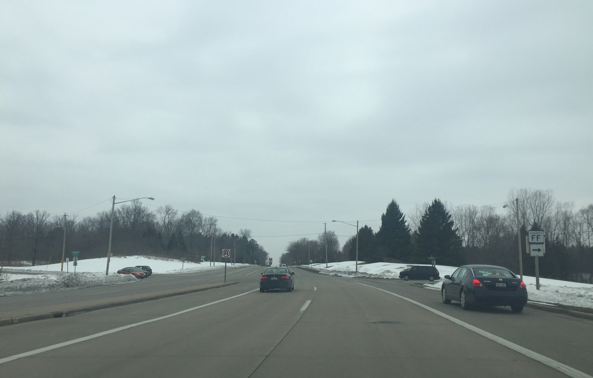
| County FF runs between Wis 54 and County C (Shawano Avenue). The trunk highway provides access to the Wis 29/32 freeway along the Howard and Hobart line. 02/23/16 |
|
| Confirming marker posted for Wis 54 west of the intersection with Hillcrest Drive. 02/23/16 |
|
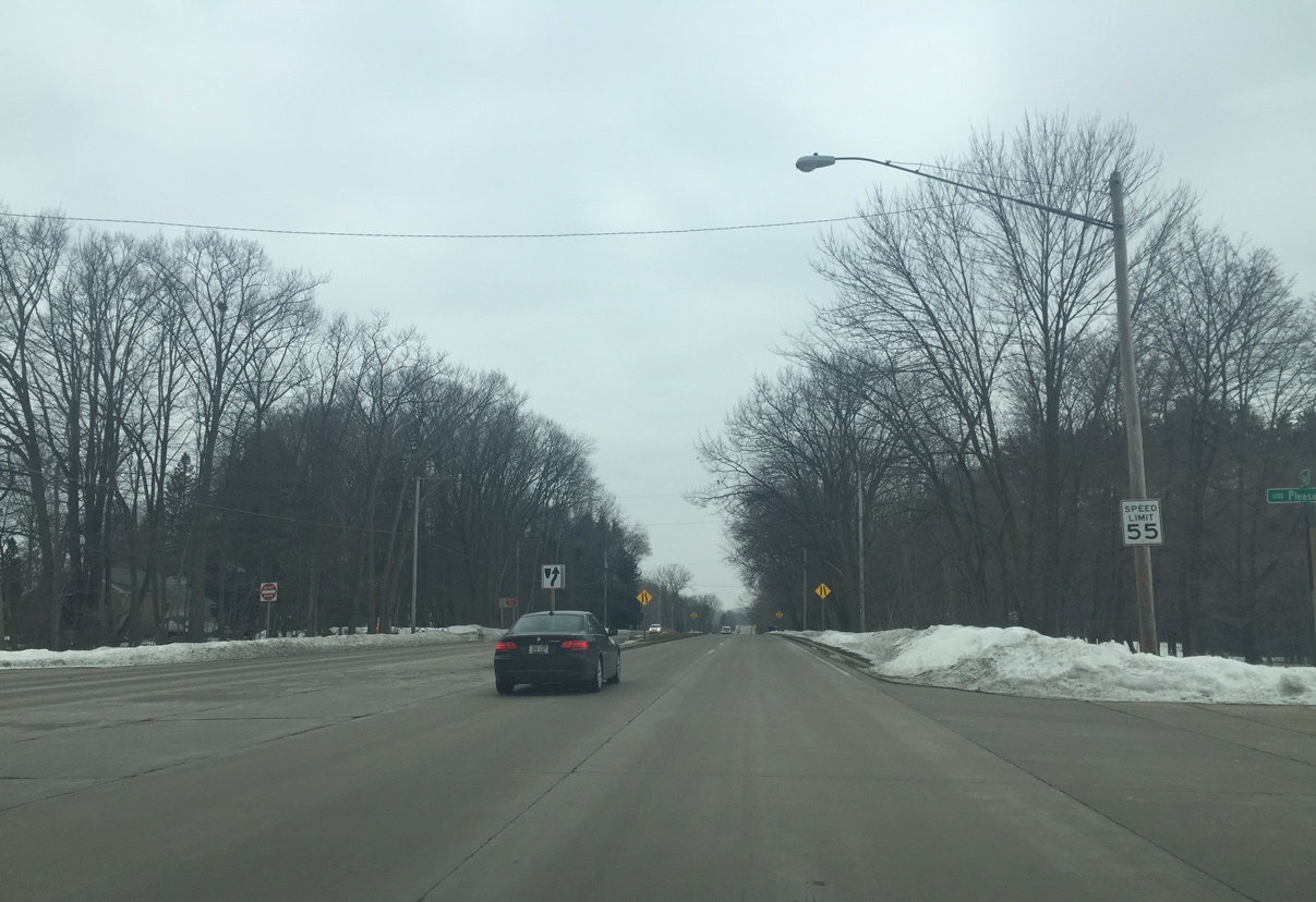
| The speed limit increases to 55 MPH as the landscape changes from urban to rural. 02/23/16 |
|
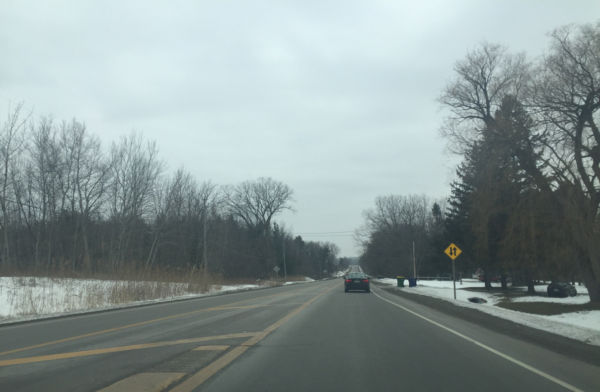
| Traversing a wooded area along Duck Creek, Wis 54 narrows from four to two lanes. 02/23/16 |
|
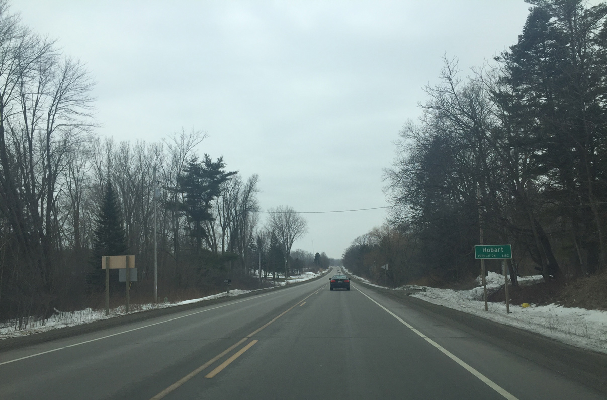
| Drivers along STH-54 west enter the village of Hobart midway between CTH-F and CTH-GE. 02/23/16 |
|
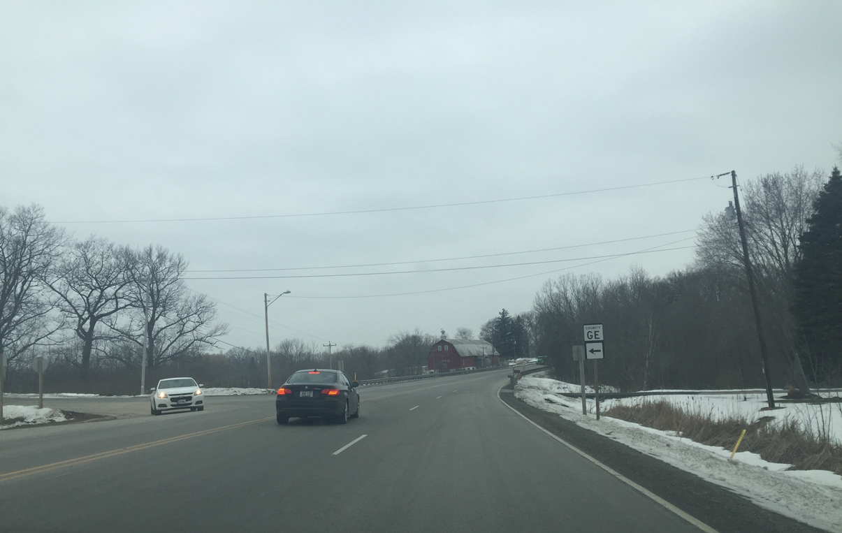
| County GE stems south from Wis 54 (Mason Street) to County EE through rural areas of east Hobart. 02/23/16 |
|
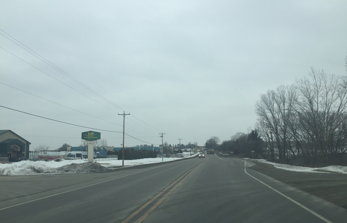
| Businesses line the stretch of Wis 54 west between County GE and Overland Road. 02/23/16 |
|
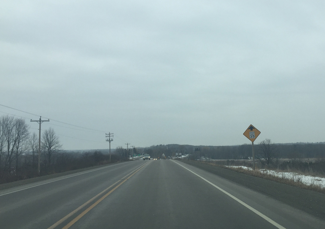
| Wis 54 rises on a large hill to an elevation of 745 feet above sea level before approaching Wis 172. 02/23/16 |
|
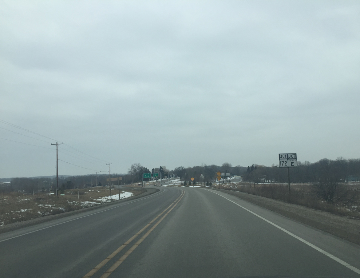
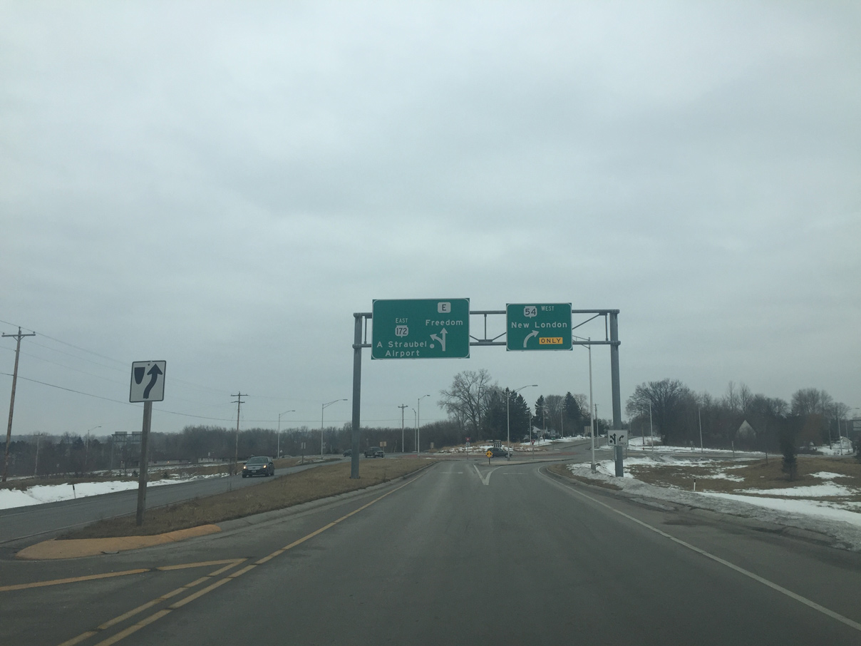
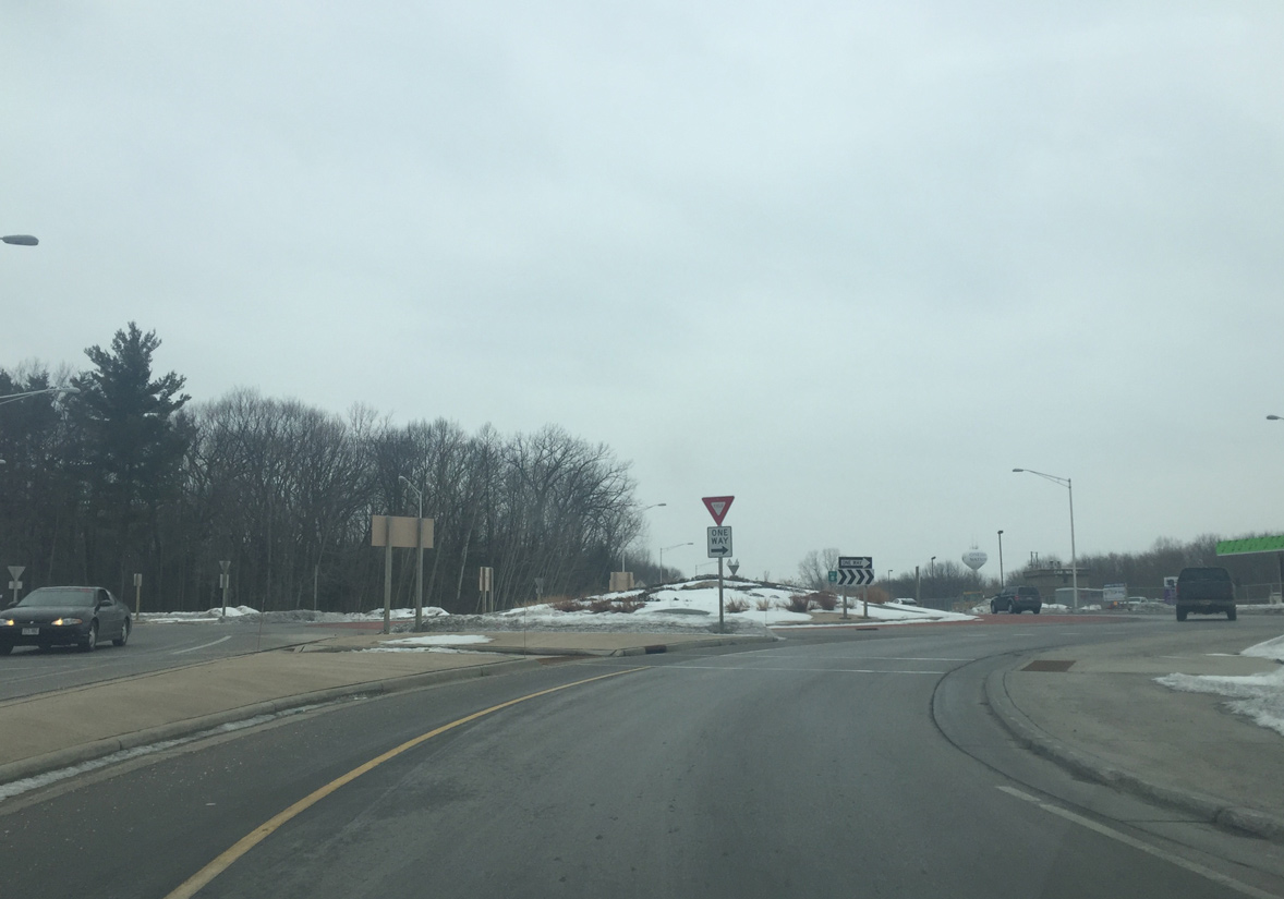
| Angling southwest along the ridge line, STH-54 (Mason Street) meets the west end of STH-172 (Airport Drive) and north end of CTH-E (Freedom Drive). 02/23/16 |
|
| Wis 54 used to go straight at a signalized intersection with Wis 172. A roundabout was constructed in 2009 to combine the nearby County E intersection with STH-172 and CTH-E with STH-54. STH-172 runs 11.6 miles east to Ashwaubenon, Allouez and Bellevue. 02/23/16 |
|
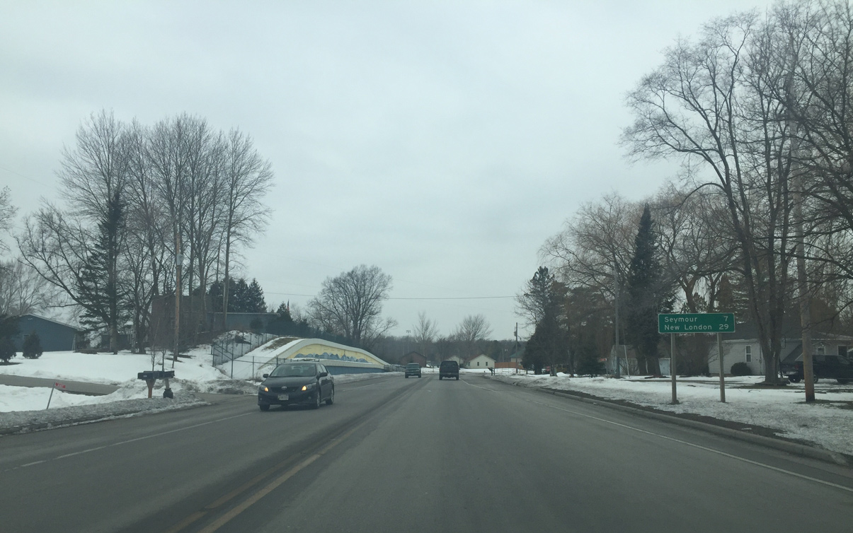
| Wis 54 enters the Oneida section of Hobart. When Hobart became a village, the Oneida signs were removed. Seymour in Outagamie County is now a seven mile drive to the west. 02/23/16 |
|
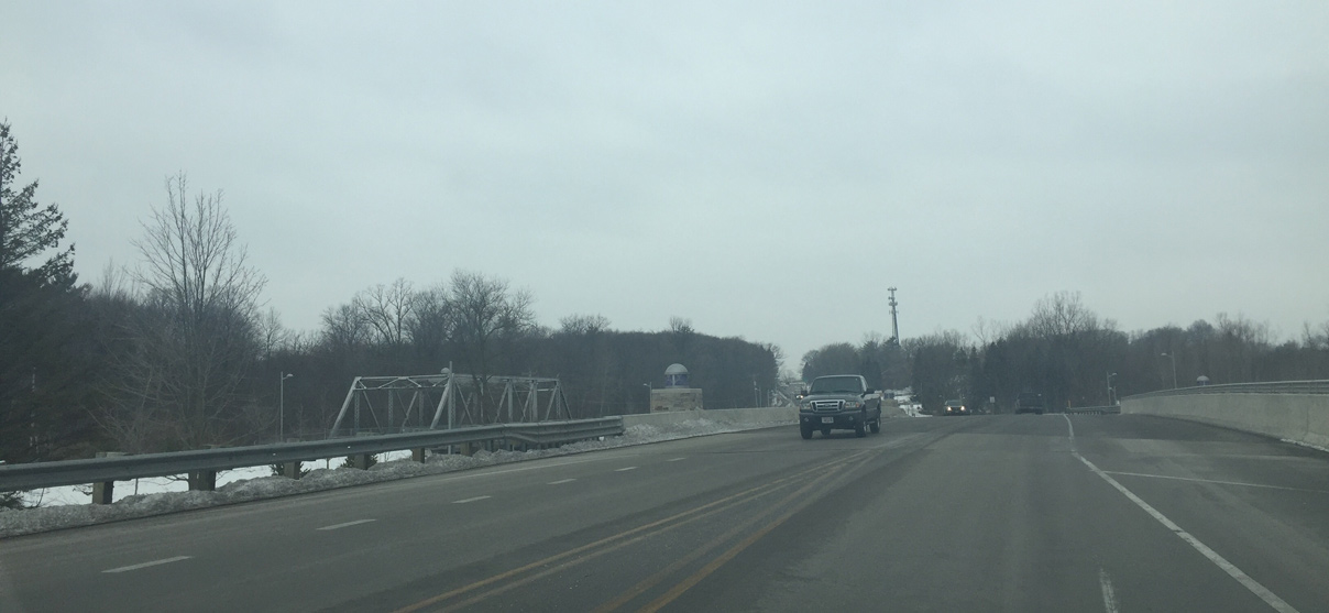
| Spanning Duck Creek along STH-54 (Mason Street) west. The old Wis 54 bridge is to the left. It was moved and repurposed as a pedestrian bridge. 02/23/16 |
|
| County U separates from Wis 54 west along a parallel Service Road just ahead of the Outagamie County line. 02/23/16 |
|
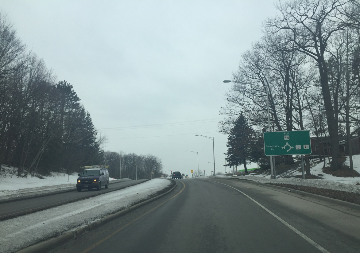
| County J south and Seminary Road north come together at a roundabout with Wis 54 at Oneida. County U extends north from nearby along the county line to Wis 29/32 and the town of Pittsfield. 02/23/16 |
|
| A roundabout replaced the signalized intersection between Wis 54, County J and Seminary Road in 2009. 02/23/16 |
Page Updated 04-07-2016.