|
| S.C. 56 travels south out of Spartanburg to Pauline and Cross Anchor. A diamond interchange links S.C. 56 with I-26 at Exit 52. 04/22/17 |
|
| S.C. 56 continues 0.95 miles south from Exit 52 to bypass Clinton along Springdale Drive. S.C. 56 Business extends south from there onto Musgrove Street. A 63.7 mile long highway, S.C. 56 concludes at S.C. 39, 19 miles south of Clinton. 04/22/17 |
|
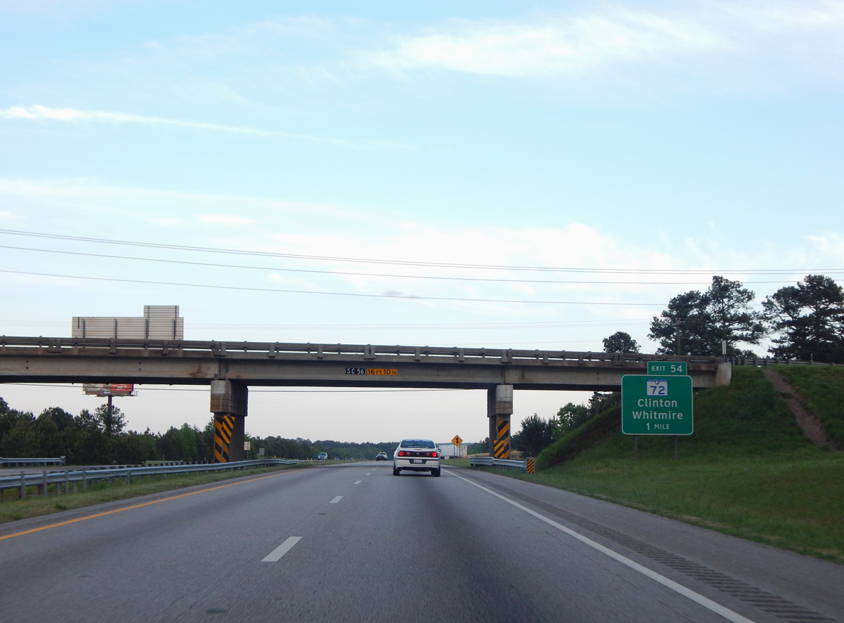
| S.C. 72 is a five lane boulevard heading 1.09 miles west from Exit 54 to S.C. 56 (Springdale Drive) and S.C. 72 Business (Willard Road). S.C. 56/72 overlap for 3.1 miles along a bypass of Clinton to S Broad Street. 04/22/17 |
|
| Westward, S.C. 72 Business follows the original alignment of Willard Road and Broad Street through Downtown Clinton. Southwest from Clinton, S.C. 72 constitutes a four lane route 27 miles to Greenwood and Lander University. 04/22/17 |
|
| S.C. 72 travels 15 miles east through Sumter National Forest to Whitmire and U.S. 176. Overall S.C. 72 is part of a multi state route between Athens, Georgia and Rock Hill. 04/22/17 |
|
| Leaving Clinton, Interstate 26 travels 21 miles toward the Newberry County seat and 58 miles to the capital city. 04/15/12 |
|
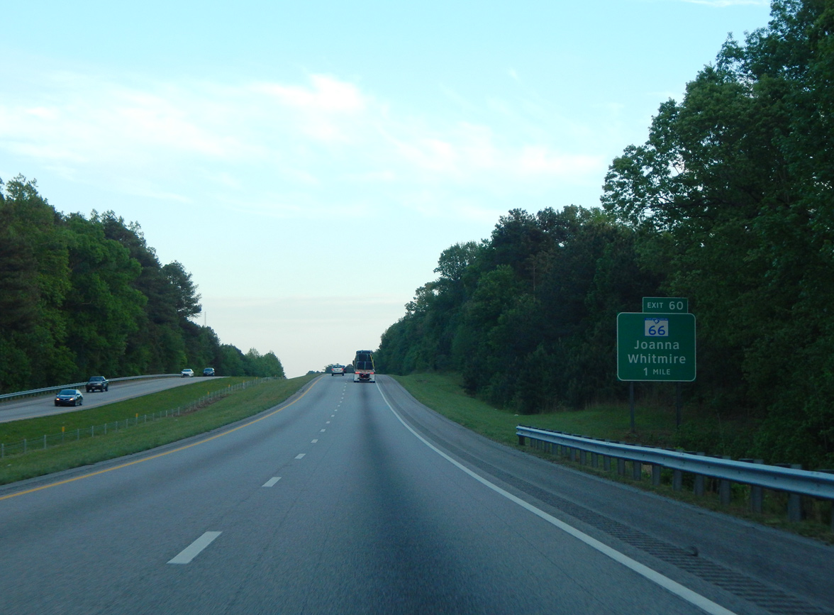
| The last of the three exits along Interstate 26 east in Laurens County is the diamond interchange with S.C. 66. 04/22/17 |
|
| Interstate 26 traverses western reaches of Sumter National Forest from ahead of Exit 60 to Exit 74. S.C. 66 meanders east from I-26 through the forest to Brick House Campground and Eison Crossroads before reaching Whitmire. 04/22/17 |
|
| Measuring 17.61 miles in length, S.C. 66 begins at S.C. 56, west of Joanna, and ends at S.C. 72 in Whitmire. 04/22/17 |
|
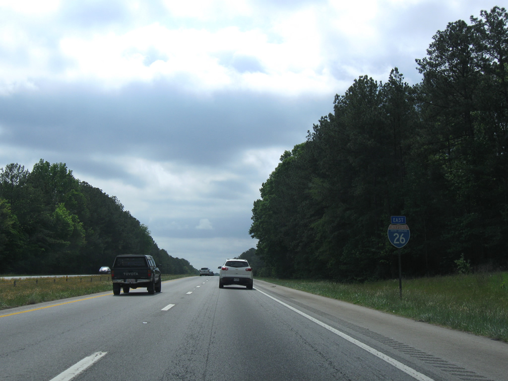
| Reassurance marker posted for Interstate 26 ahead of the Newberry County line. 04/15/12 |
|
| A set of rest areas line both sides of Interstate 26 by Peges Creek. 04/15/12 |
|
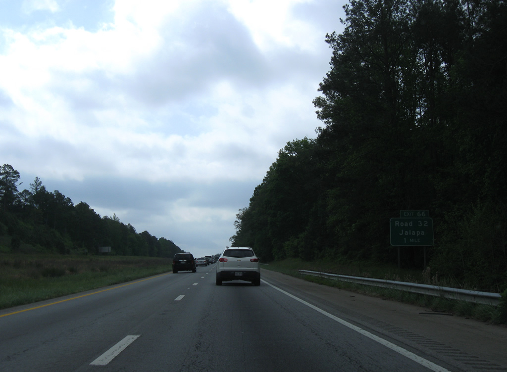
| Jalapa Road (Road 32) meanders south to U.S. 76 at Jalapa and north to S.C. 66 at Eison Crossroads. 04/15/12 |
|
| The diamond interchange (Exit 66) joining I-26 with Road 32 is four miles south of Cromer Crossroads. 04/15/12 |
|
| Interstates 26 varies between 400 and 500 feet in elevation on the forested stretch between Exits 66 and 72. 04/15/12 |
|
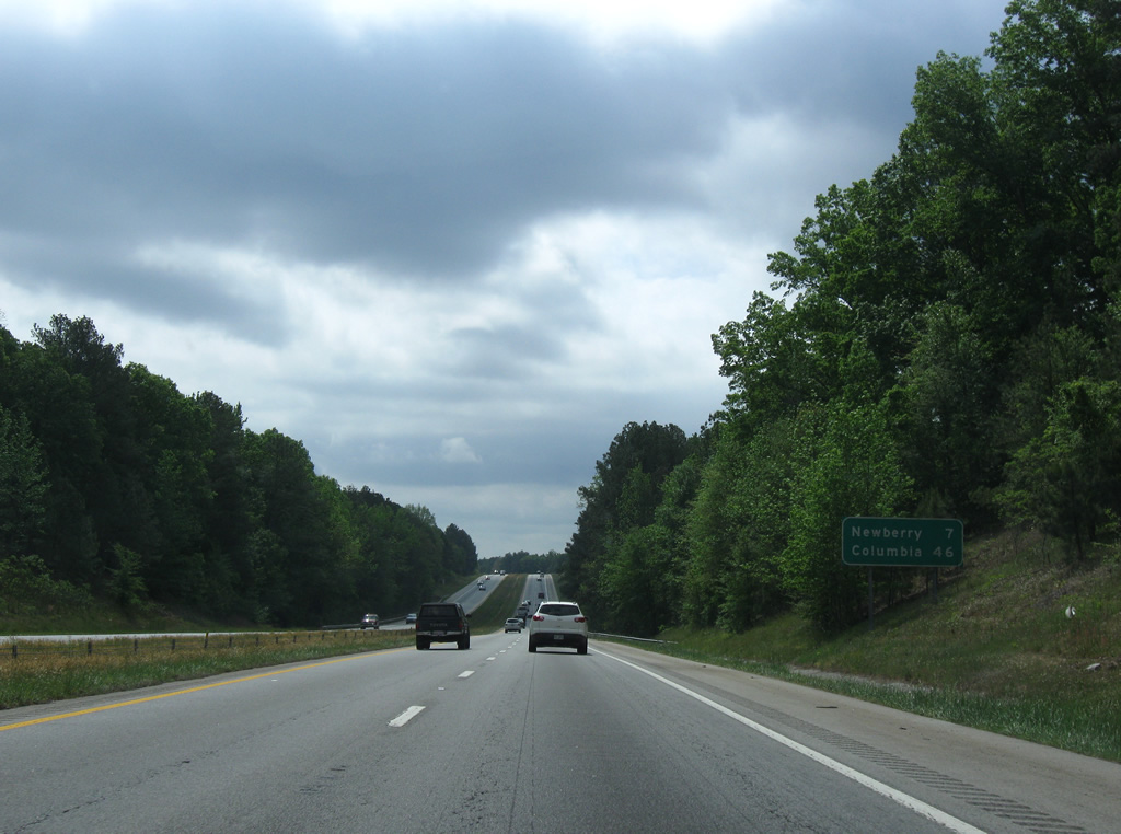
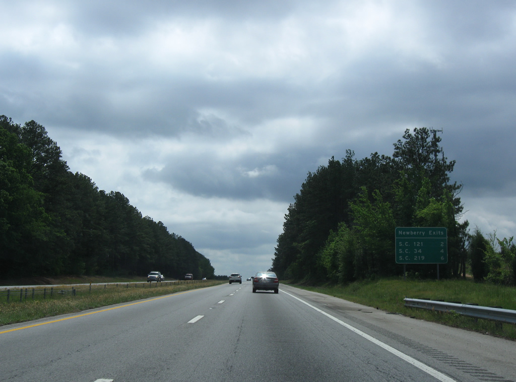
| Newberry, a city of over 10,000, is next along Interstate 26 east. Columbia is 46 miles away. 04/15/12 |
|
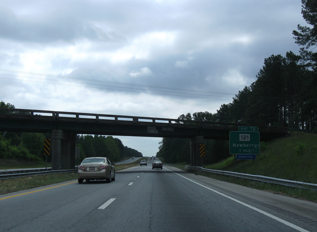
| Starting with S.C. 121, three interchanges serve the county seat from Interstate 26 to the east. S.C. 121 constitutes a four lane route to Newberry from Exit 72 to the north. 04/15/12 |
|
| Old Whitmire Highway passes over Interstate 26 one mile from Exit 72. S.C. 121 is part of a multi state route between Rock Hill and Lebanon Station, Florida. 04/15/12 |
|
| S.C. 121 bypasses the west side of Newberry and continues 20 miles south from the city to the Saluda County seat of Saluda. 04/15/12 |
|
| A parclo A2 interchange joins I-26 with S.C. 121 at Exit 72. S.C. 121 follows College Street to Kendall Road around the west side of Newberry. Northward S.C. 121 combines with U.S. 176 in six miles en route to Whitmire.
A separate ramp connecting S.C. 121 north with I-26 east was removed from this exchange. 04/15/12 |
|
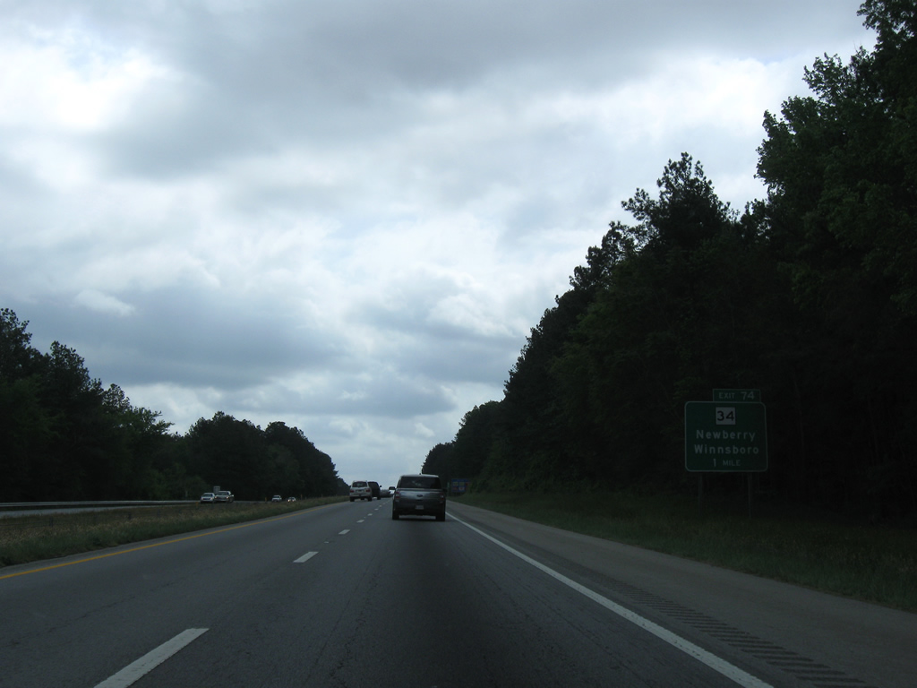
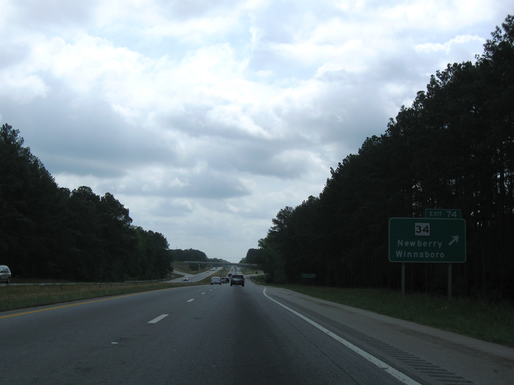
| Interstate 26 next meets S.C. 34 at a diamond interchange (Exit 74) in one mile. S.C. 34 connects Newberry with the Fairfield County seat of Winnsboro, 32 miles to the east. 04/15/12 |
|
| Exit 74 includes a number of travel amenities along S.C. 34 and an adjacent industrial park. S.C. 34 follows Winnsboro Road southwest to a 0.9 mile overlap with U.S. 76 along Wilson Road. S.C. 34 bypasses Newberry along Dixie Drive west from U.S. 76 to Boundary Street while former S.C. 34 followed Main Street into Downtown. 04/15/12 |
|
| Interstate 26 leaves Sumter National Forest and lines portions of the northeastern city limits of Newberry to Exit 76 for S.C. 219. 04/15/12 |
|
| S.C. 219 constitutes a 9.03 mile long route between Newberry and U.S. 176 near Pomaria. A diamond interchange links I-26 with S.C. 219 at Exit 76. 04/15/12 |
|
| Exit 76 was reconstructed in 2004 as S.C. 219 was expanded into a five lane boulevard. S.C. 219 follows Main Street west to end at U.S. 76/S.C. 34 (Wilson Road). Exit 76 is signed for Newberry Opera House in Downtown and also Newberry College, which lies north of there along College Street. 04/15/12 |
|
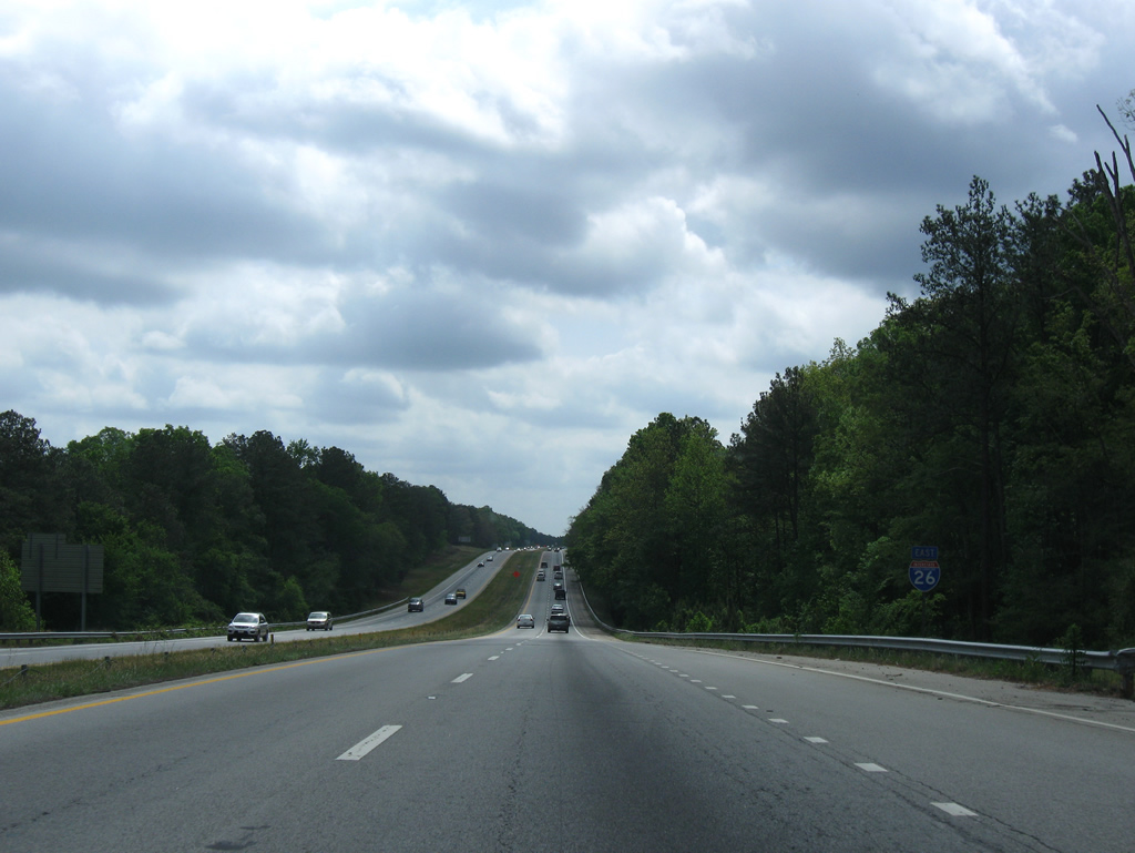
| The town of Prosperity (population 1,180 per the 2010 census) lies five miles west of the succeeding exit in six miles. Columbia is 36 miles to the southeast. 04/15/12 |
|
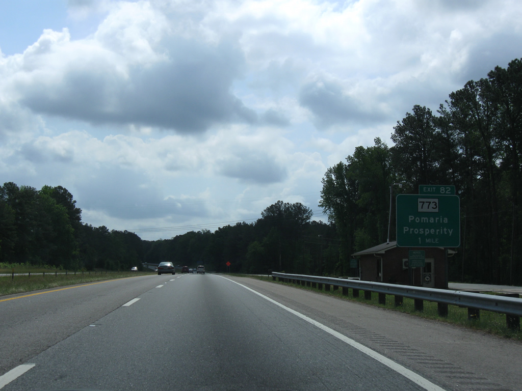
| An eastbound side truck weigh station precedes the diamond interchange (Exit 82) with S.C. 773. 04/15/12 |
|
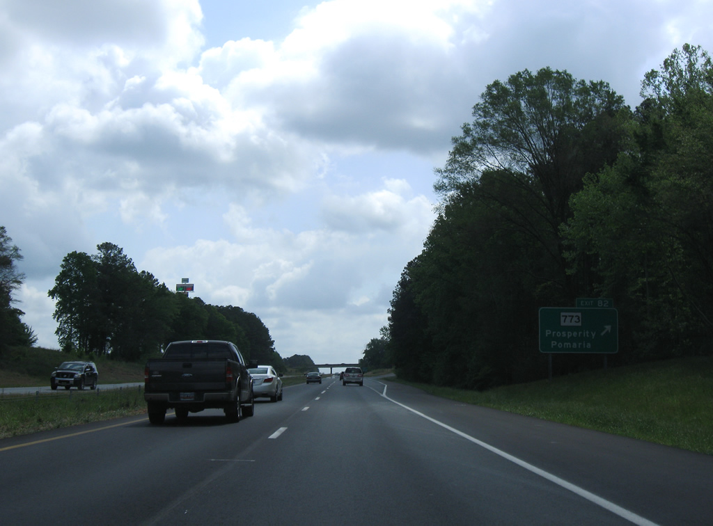
| S.C. 773 constitutes a 5.49 mile route between U.S. 76 and U.S. 176 at Pomaria. 04/15/12 |
|
| S.C. 773 heads two miles west from Exit 82 to U.S. 76, midway between Prosperity and Slighs. U.S. 76 parallels Interstate 26 just to the west from S.C. 773 southeast to Irmo. 04/15/12 |
|
| Reassurance marker posted for Interstate 26 near the railroad siding of Kibler. 04/15/12 |
|
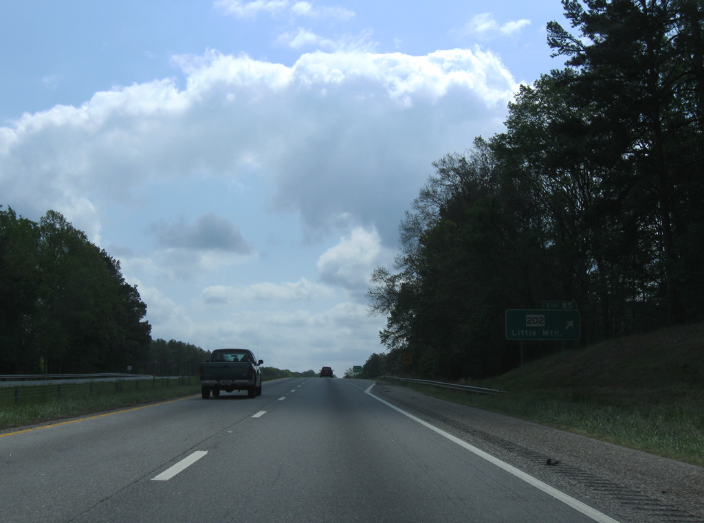
| S.C. 202 also travels between U.S. 76 and U.S. 176 in Newberry County. The state highway comprises just 4.52 miles between the two US routes. 04/15/12 |
|
| S.C. 202 heads south from Exit 85 to Pomaria Street in the town of Little Mountain. Mountain Street stems south from U.S. 76 one block to the east toward Dreher Island State Park on Lake Murray. The 348 acre park includes access to 12 miles of the lake shore. The reservoir was formed in the late 1920s by construction of Saluda Dam to provide hydroelectric power.1 04/15/12 |
|
| A folded diamond interchange connects Interstate 26 with S.C. 202 at Exit 85. 04/15/12 |
|
| Interstate 26 again climbs to over 500 feet in elevation to the northeast of Little Mountain. 04/15/12 |
|
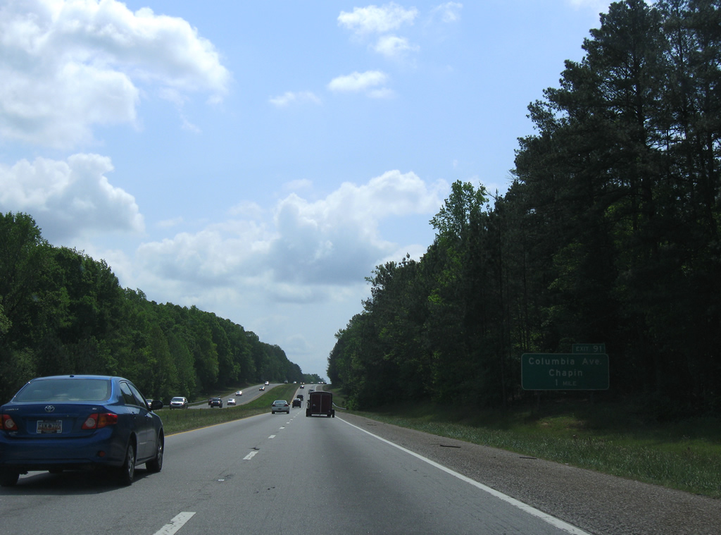
| Chapin, nicknamed the "Capital of Lake Murray", lies seven miles to the southeast near Exit 91 while Columbia is a half hour away. 04/15/12 |
|
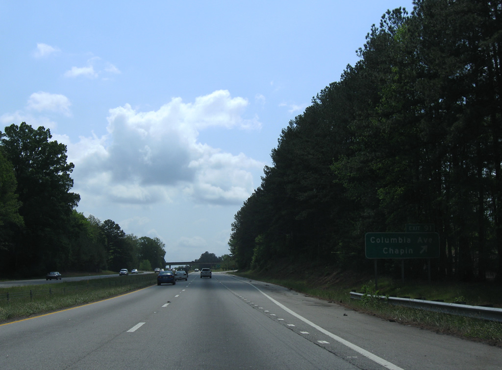
| Interstate 26 crosses the northern notch of Lexington County to the rural diamond interchange (Exit 91) with Columbia Avenue (Road 48) on the eastern outskirts of Chapin. 04/15/12 |
|
| Columbia Avenue runs west from Exit 91 to U.S. 76 (Chapin Road) in the town of Chapin. East from Interstate 26, Columbia Avenue (Road 48) becomes Chapin Road in Richland County en route to U.S. 176 (Broad River Road) at Spring Hill. 04/15/12 |
|
| I-26 reaches Irmo, the first suburb of the Columbia metropolitan area, in 11 miles. I-26 crosses the Richland County line ahead of Wateree Creek ahead. 04/15/12 |
|
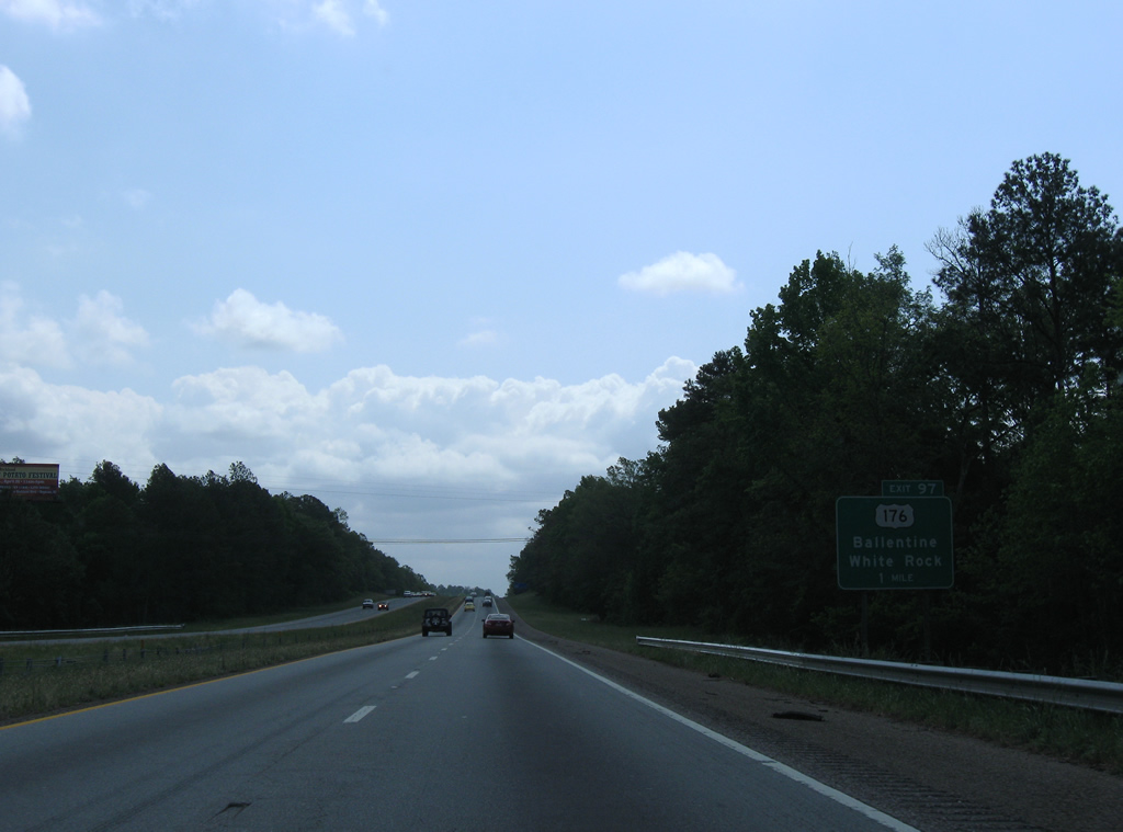
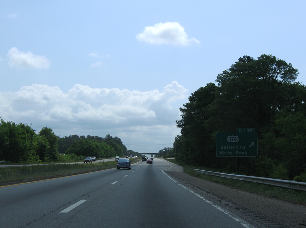
| U.S. 176 (Broad River Road) and Interstate 26 meet for the
first time in 71 miles at Exit 97 near Ballentine and the outskirts of the Irmo city limits. U.S. 176 travels south out of Spartanburg through Union, Whitmire, and Pomaria. 04/15/12 |
|
| I-26 eastbound at the parclo A2 interchange (Exit 97) with U.S. 176 (Broad River Road). Rauch Metz Road (Road 385) stems 1.17 miles west from Exit 97 to U.S. 76 (Dutch Fork Road) midway between the communities of White Rock and Ballentine. 04/15/12 |
|
| Interstate 26 lowers to cross Metz Branch after this eastbound reassurance assembly. 04/15/12 |
|
| A growing suburb with over 11,000, Irmo straddles the Lexington and Richland County lines mostly to the west of Interstate 26. The town center is eight miles to the south. 04/15/12 |
|
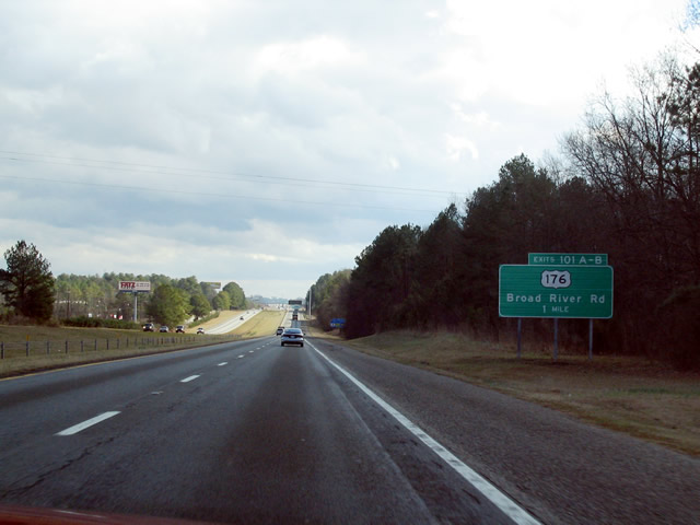
| A six-ramp parclo interchange joins I-26 with U.S. 76/176 (Broad River Road) in one mile. U.S. 76/176 combine 2.99 miles to the northwest and split at I-26. Signs for Exit 101A omit U.S. 76 west due to its overlap with I-26 east into Columbia. 01/18/04 |
|
| The freeway widens to six lanes and the speed limit reduces to 60 miles per hour just ahead of Exit 101A for U.S. 76/176 (Broad River Road) west. 04/15/12 |
|
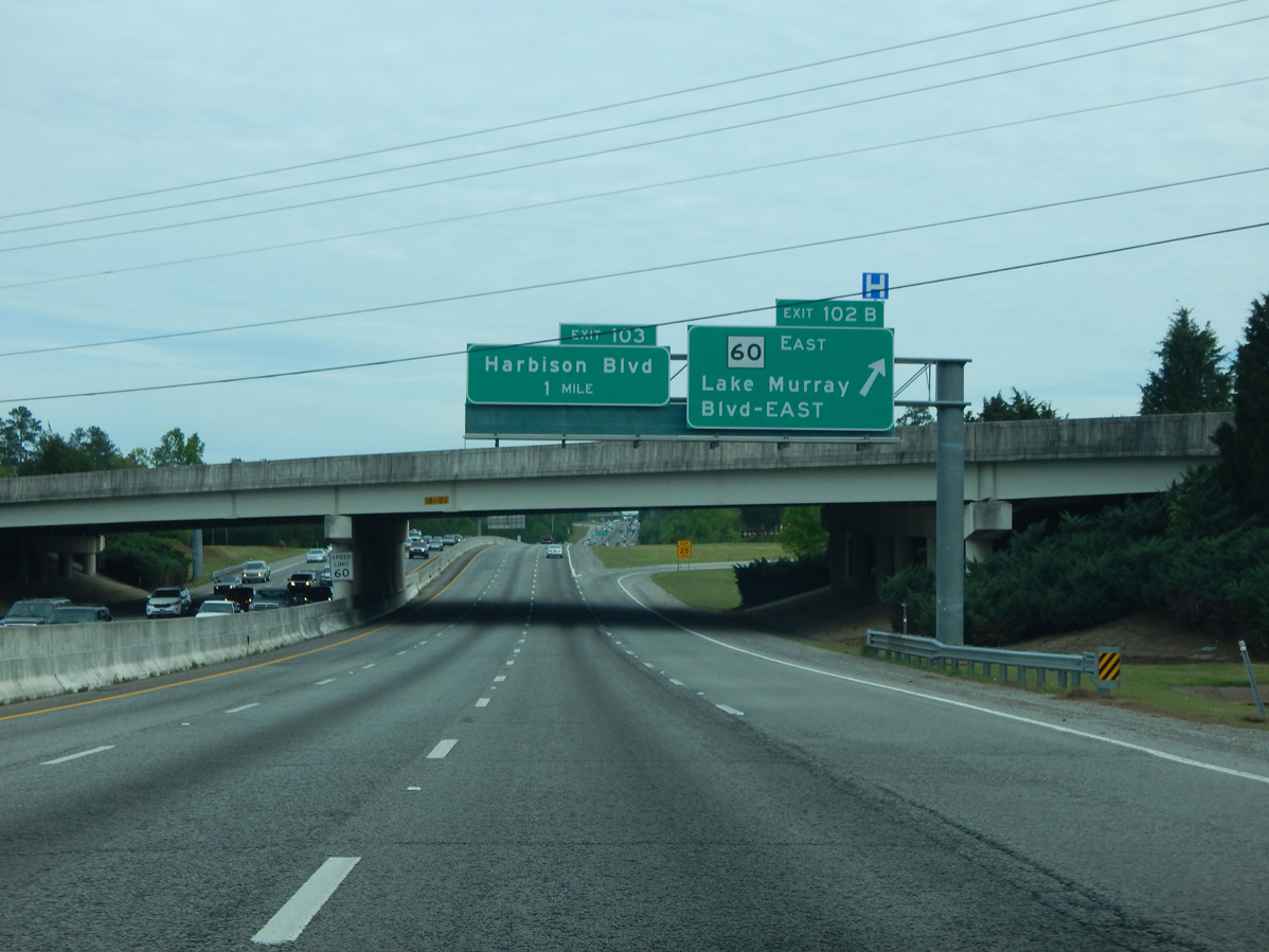
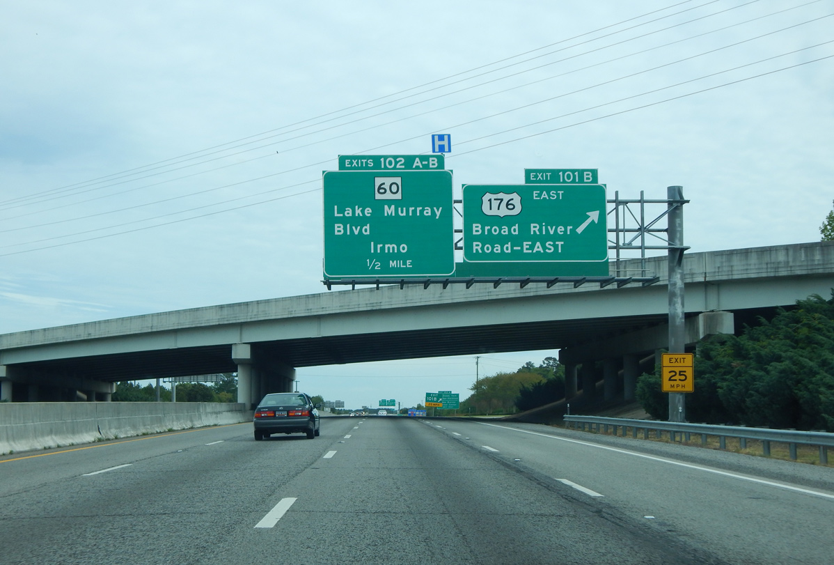
| U.S. 176 crosses east of Interstate 26 again from Exit 101B to northern Columbia. The two routes come together one final time at Exit 115 in Cayce. Exit 102A departs next for S.C. 60 (Lake Murray Boulevard) west through central Irmo. 04/10/16 |
|
| S.C. 60 follows Lake Murray Boulevard west to S.C. 6 (N Lake Drive) and Bush River Road (Road 107) by Saluda Dam on Lake Murray. 04/10/16 |
|
| A loop ramp (Exit 102B) joins I-26 east with S.C. 60 (Lake Murray Boulevard) east into north Columbia. The 5.05 mile long route concludes to the east at U.S. 176 near Harbison State Forest. 04/10/16 |
Page Updated 09-14-2021.

 East
East


 East
East