


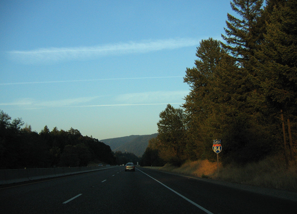
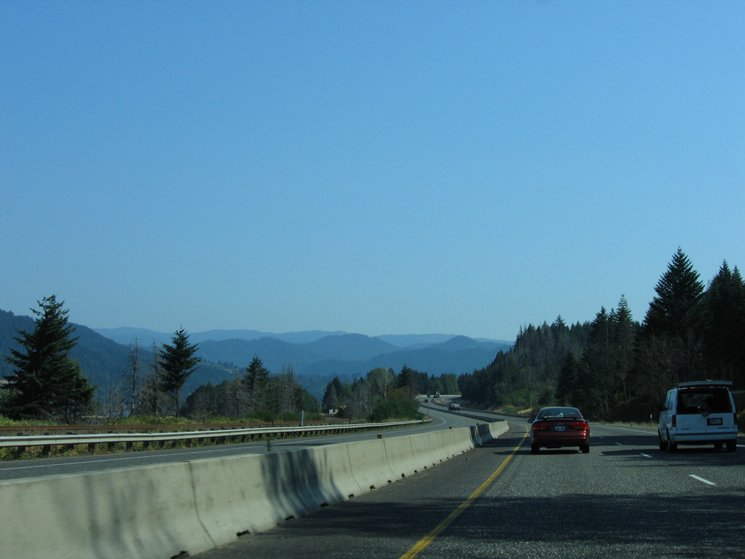
 East
East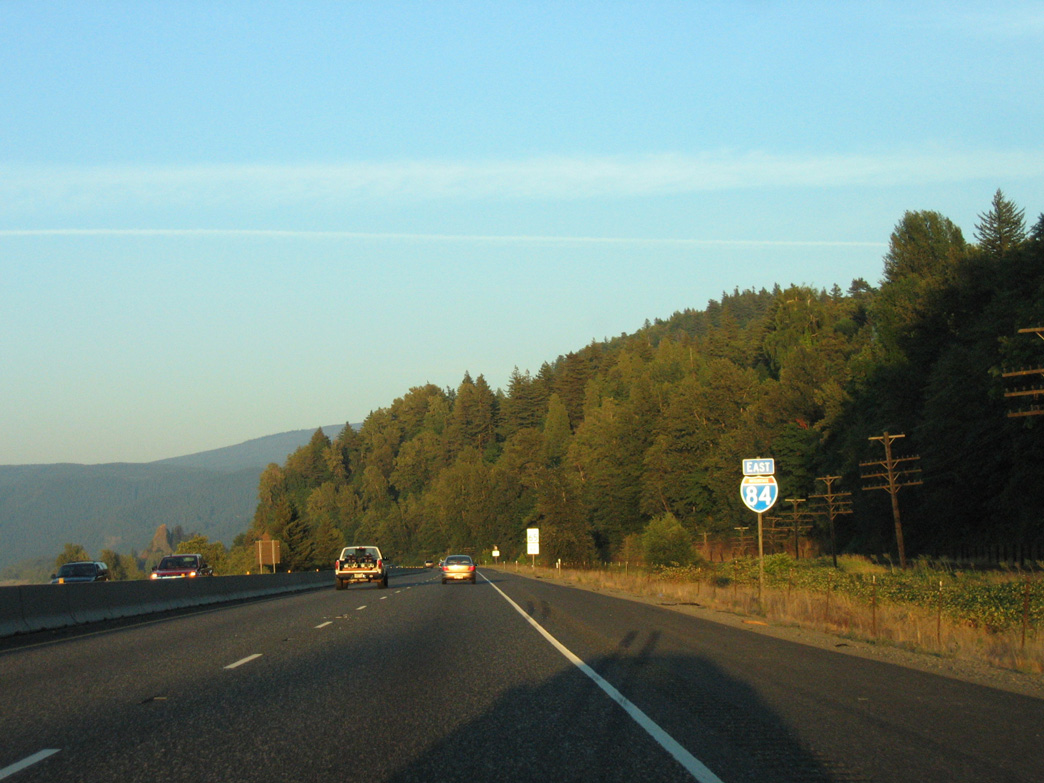
08/27/06
08/27/06
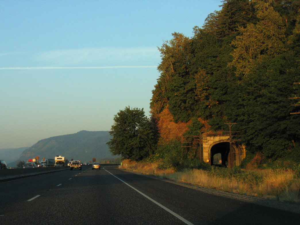
The Union Pacific Railroad passes through a tunnel adjacent to I-84/U.S. 30 by Tunnel Point along the Columbia River.
08/27/06
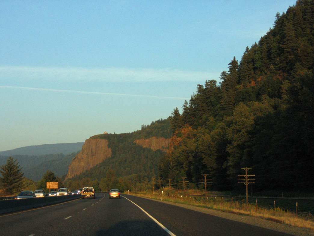
Crown Point and the Vista House overlook the Columbia River Gorge above I-84/U.S. 30 by Mirror Lake.
08/27/06
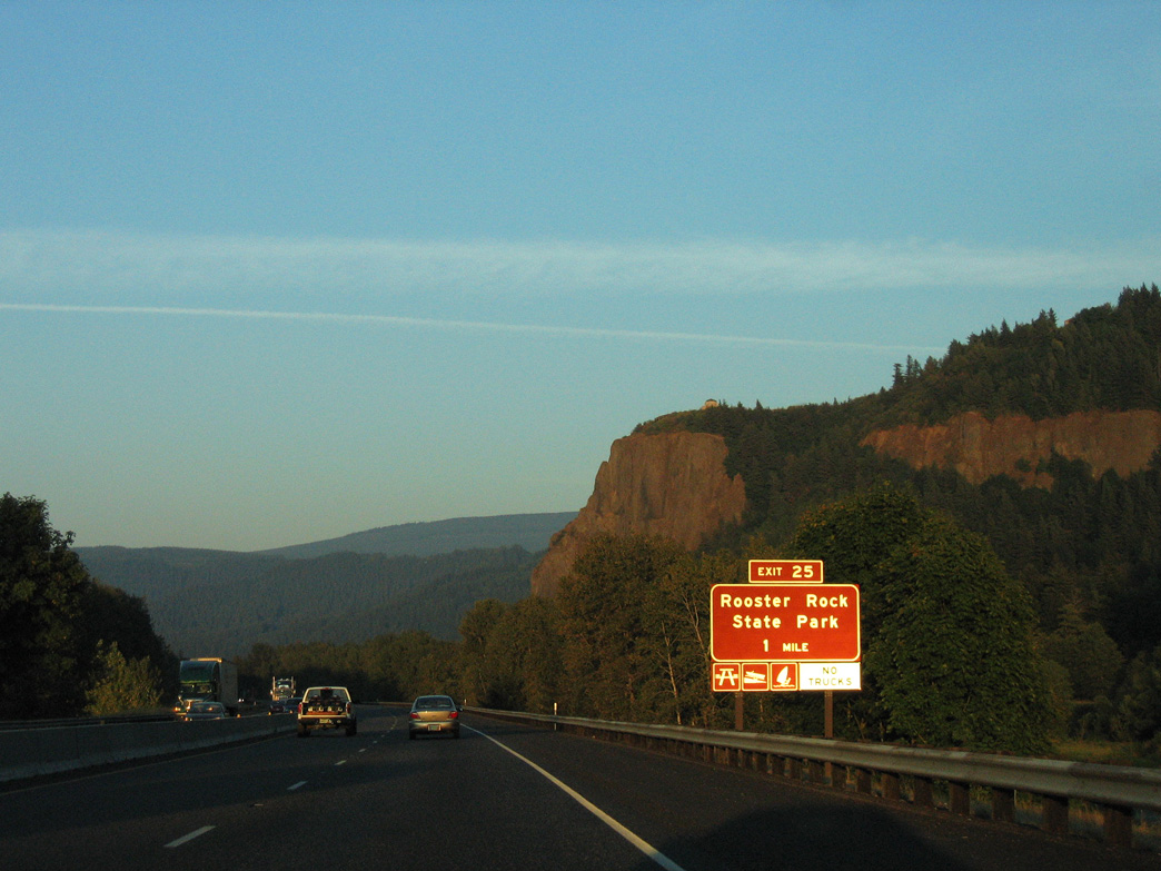
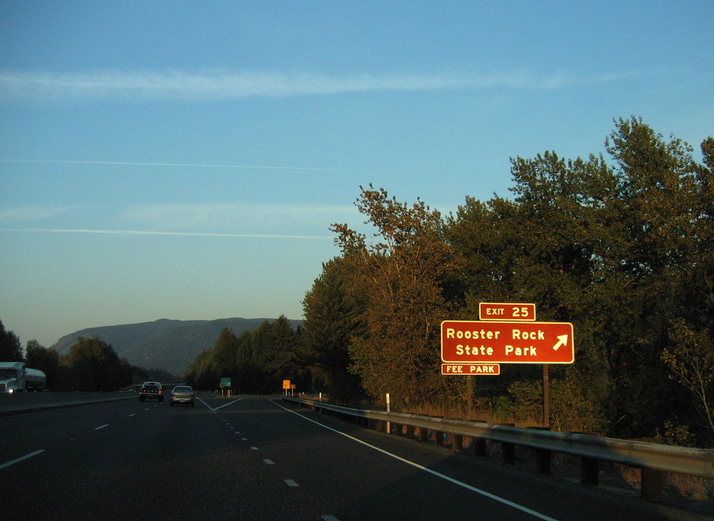
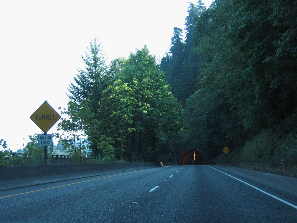
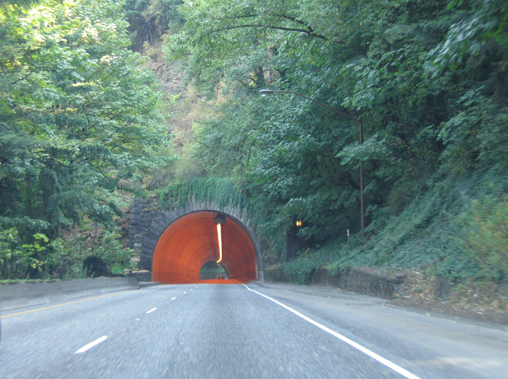
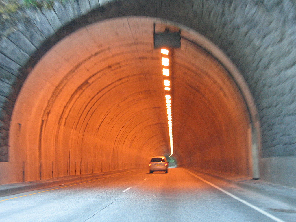
The trumpet interchange at Exit 25 connects Interstate 84 with Rooster Rock State Park.
08/27/06
Crown Point
08/27/06
08/27/06
08/27/06
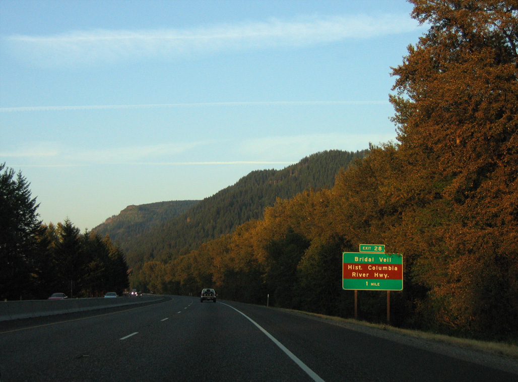
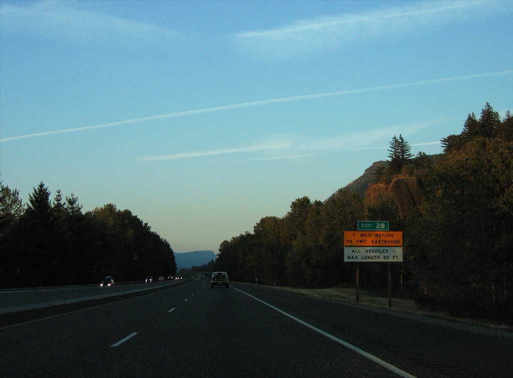
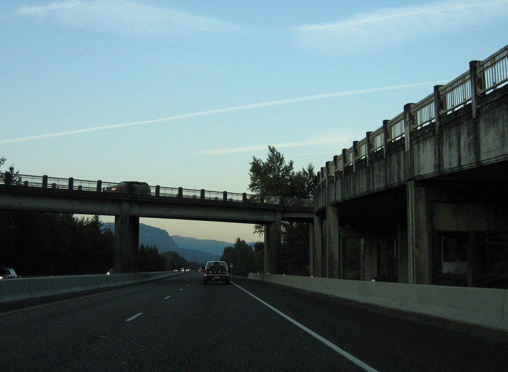
Bridal Veil Road branches east from the wye interchange at Exit 28 to Historic U.S. 30 at Bridal Veil.
08/27/06
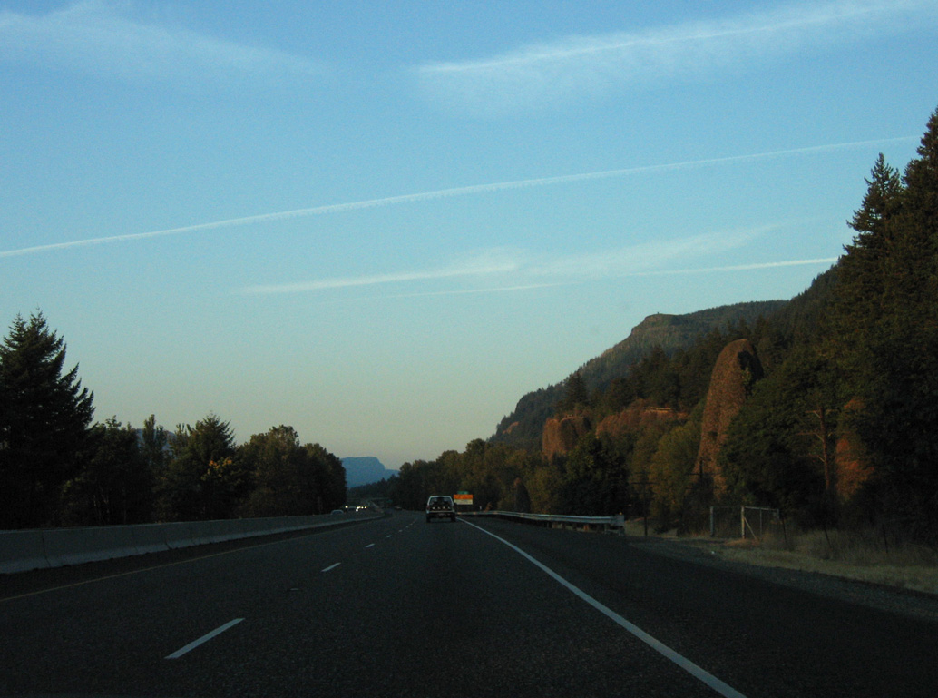
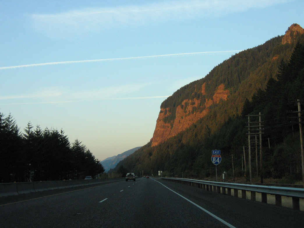
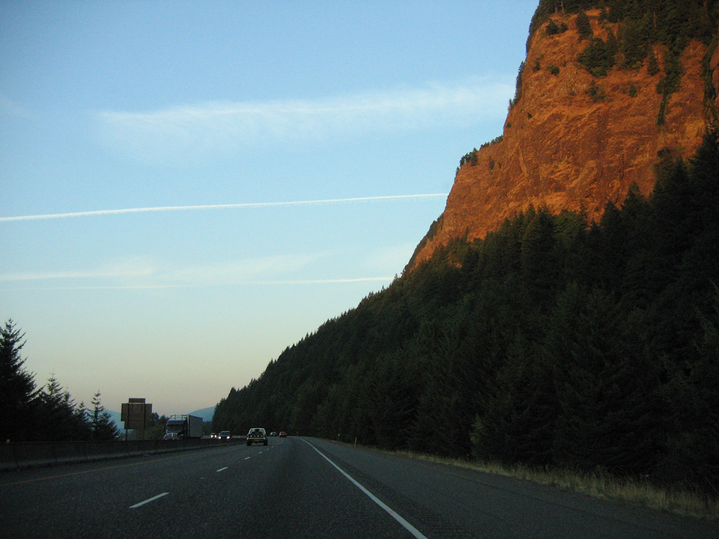
The Pillars of Hercules rise along the south side of I-84 adjacent to the UP Railroad.
08/27/06
08/27/06

08/27/06
08/27/06
08/27/06
08/27/06

RIRO ramps at Exit 30 connect I-84/U.S. 30 east with Benson State Recreation Area at Benson Lake.
08/27/06
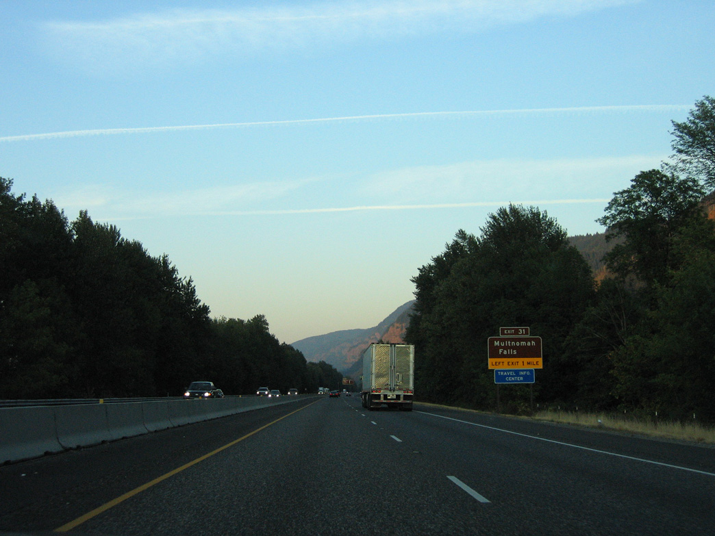
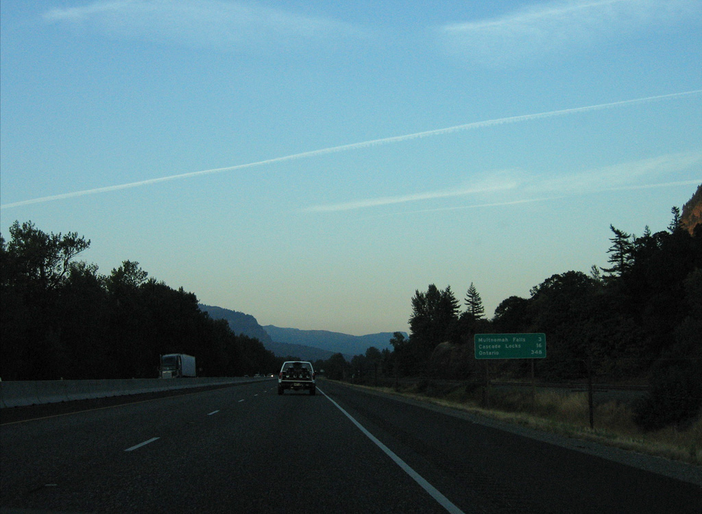
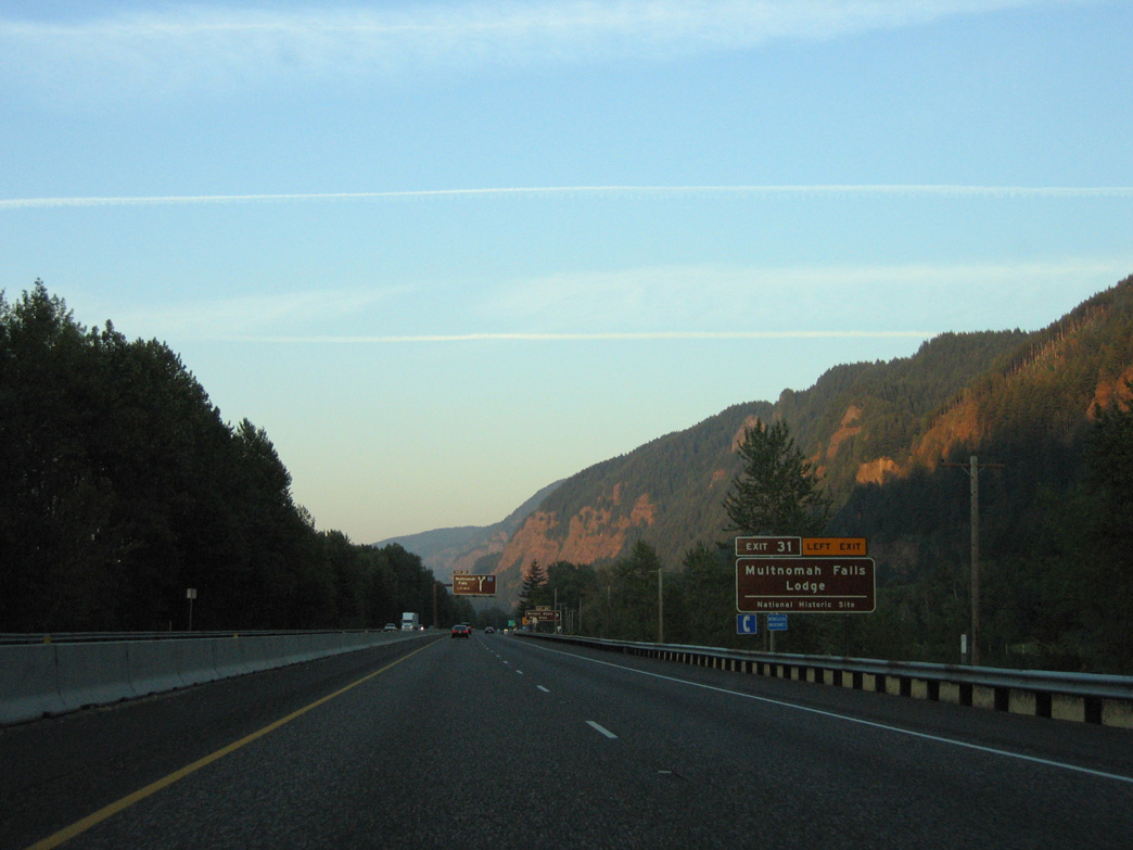
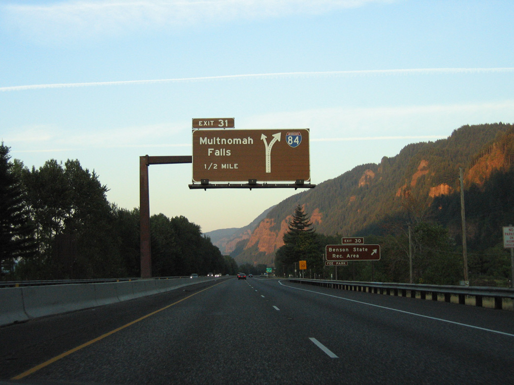
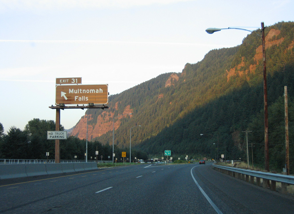
Located within the median, Left Exit 31 joins Interstate 84 with the parking area for Multnomah Falls.
08/27/06
08/27/06
08/27/06
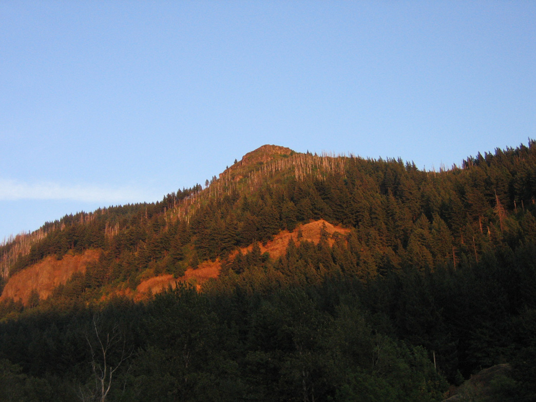
Multnomah Falls lies just south of Historic Columbia River Highway along Multnomah Creek.
08/27/06
08/27/06
08/27/06
08/27/06
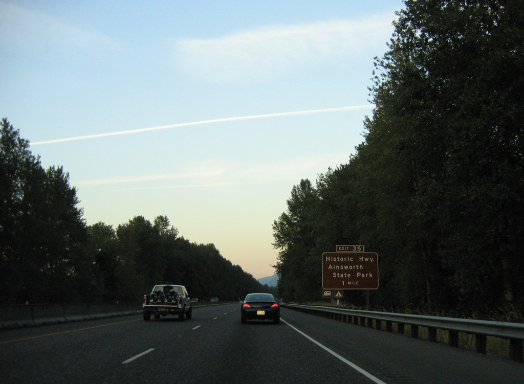
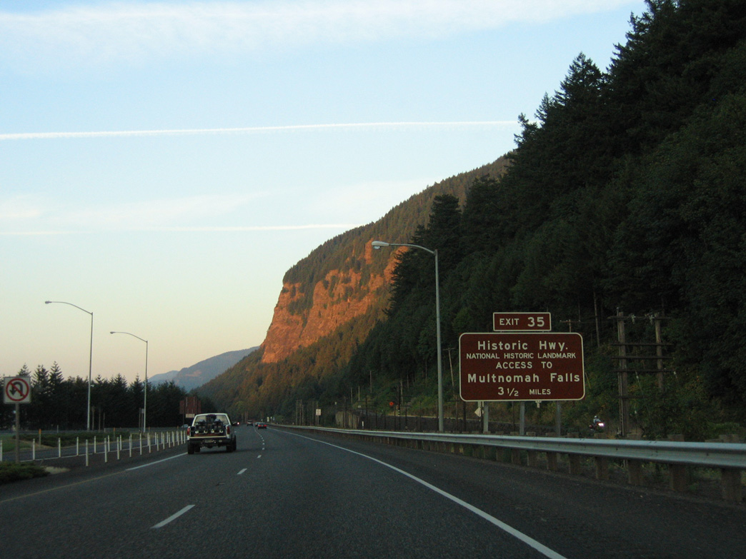
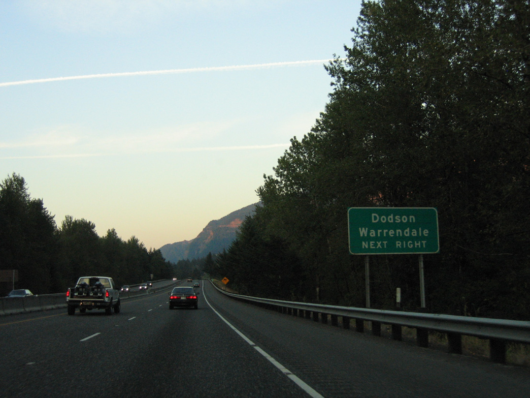
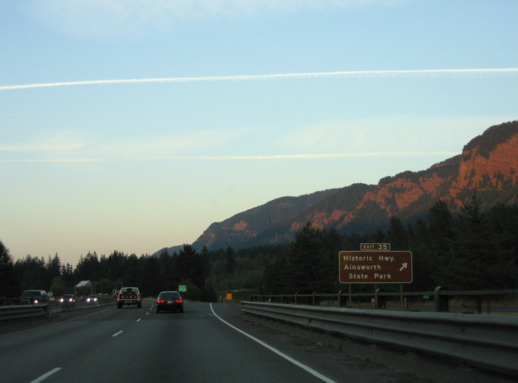
Historic Columbia River Highway (Historic U.S. 30) returns to Interstate 84 at Exit 35 and Ainsworth State Park.
08/27/06
08/27/06
08/27/06
08/27/06
08/27/06
08/27/06
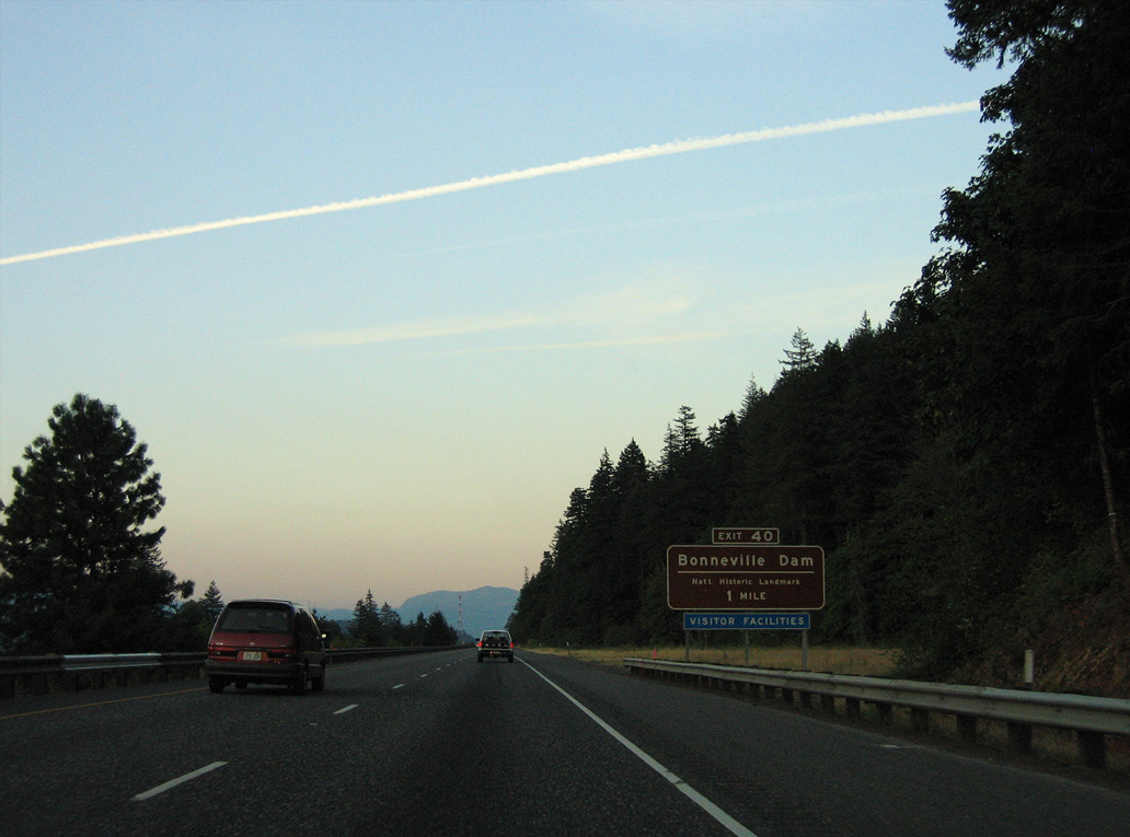
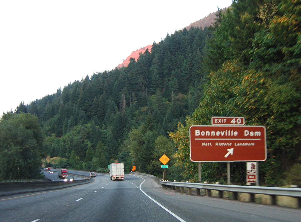
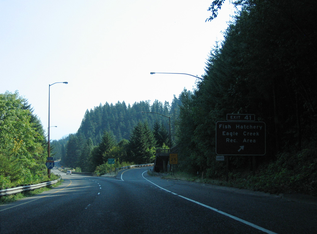
The diamond interchange at Exit 40 links with Bonneville Way to adjacent Bonneville Dam.
08/27/06
08/27/06
08/28/06
08/28/06
Eastbound I-84/U.S. 30 pass through Tooth Rock Tunnel north of Wauna Point.
08/28/06
The westbound roadway for I-84/U.S. 30 spans the Columbia River on a viaduct.
08/28/06
08/28/06
08/28/06
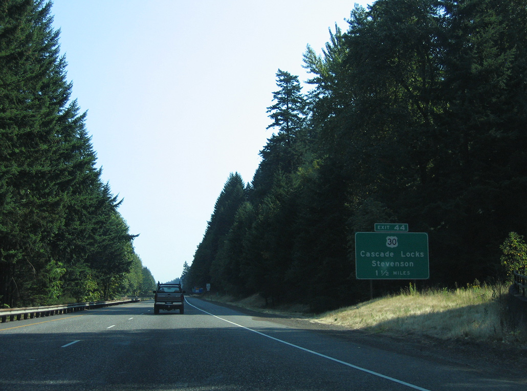
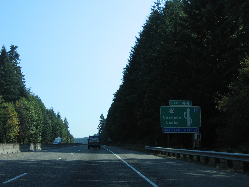
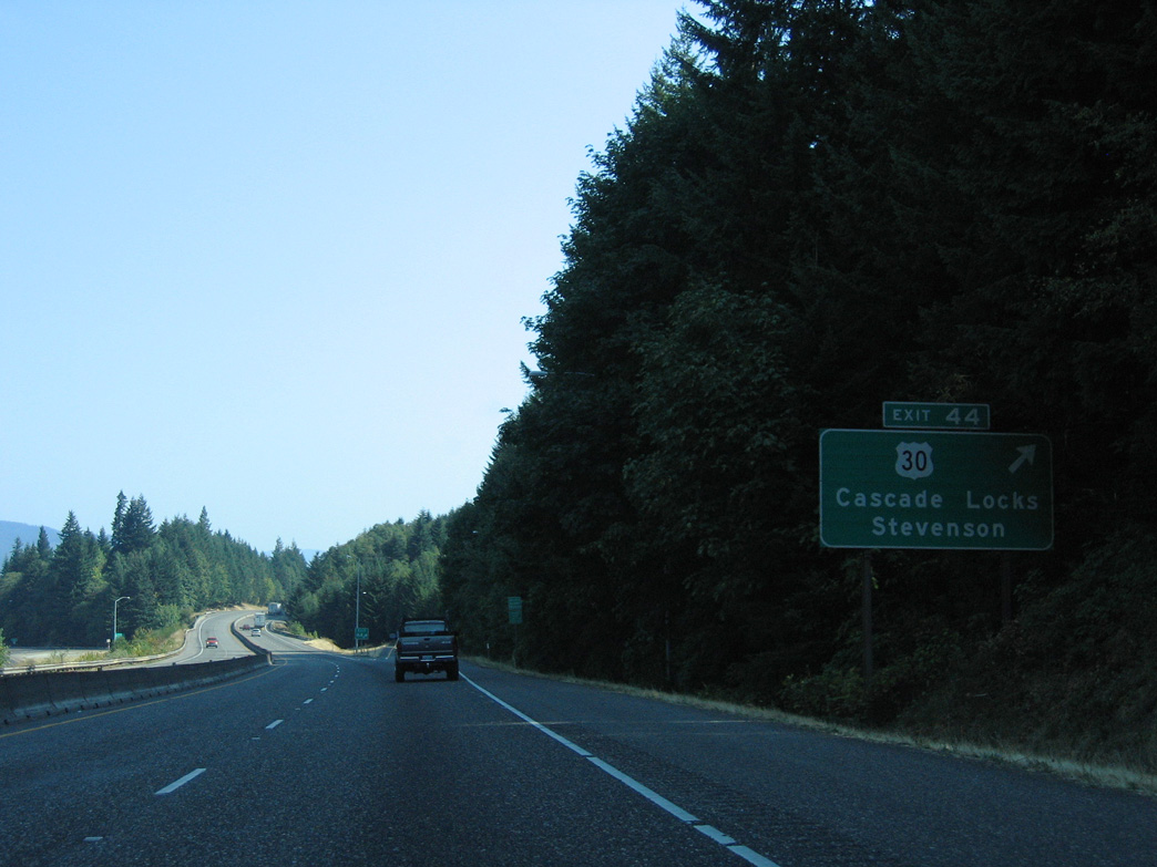
U.S. 30 separates from I-84 at Exit 44 in the city of Cascade Locks.
08/28/06
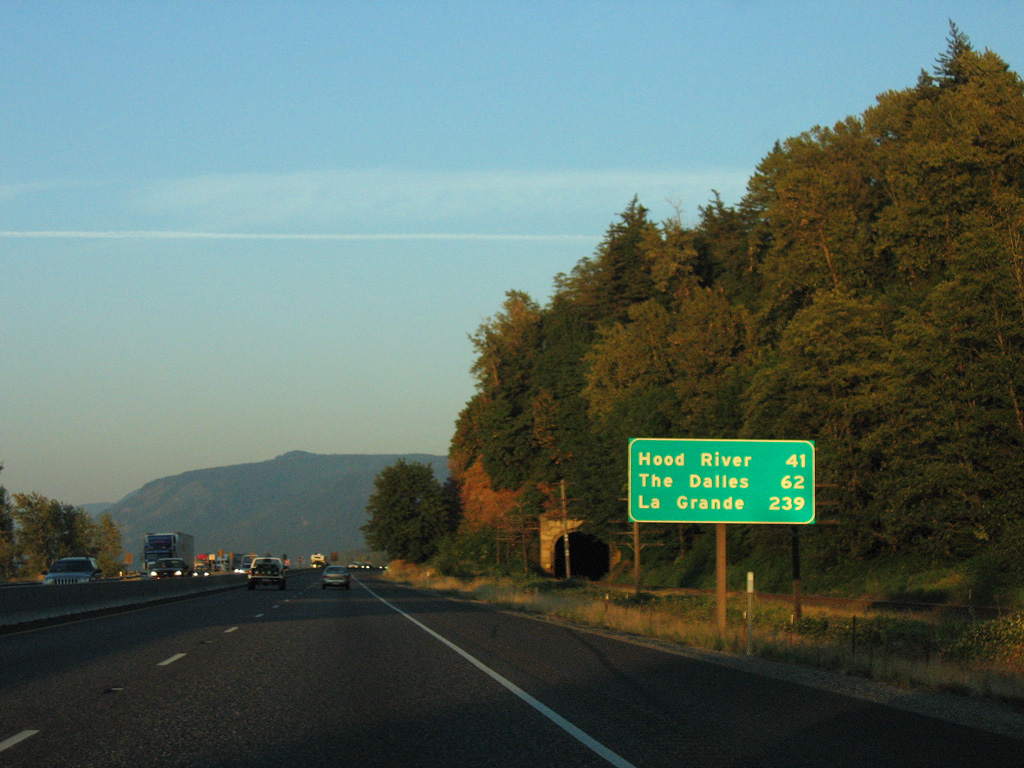
U.S. 30 loops 2.11 miles north into Cascade Locks.
08/28/06
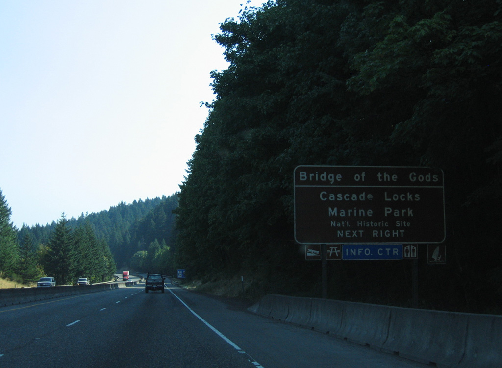
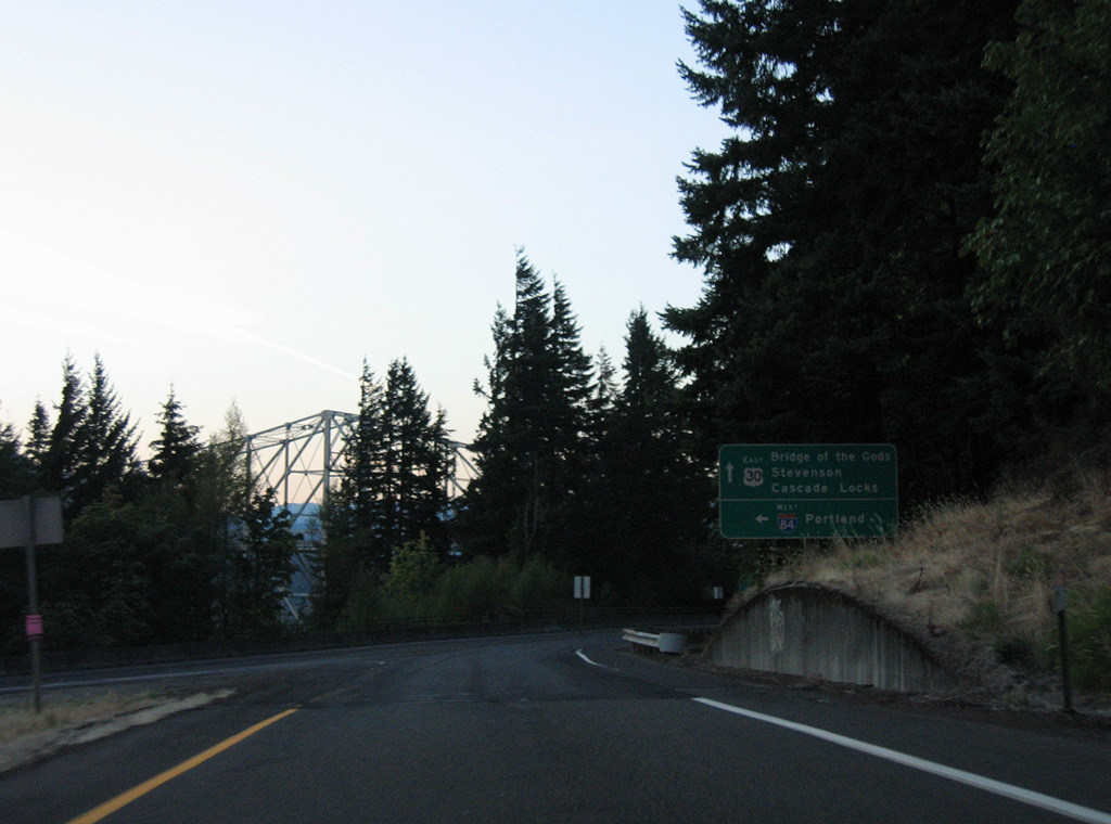
U.S. 30 connects I-84 with the Bridge of the Gods just north of Exit 44. The toll bridge spans the Columbia River west to Washington State Route 14 between North Bonneville and Stevenson.
08/28/06
U.S. 30 runs along a commercial strip in Cascade Locks north from the wye interchange at Exit 44.
08/28/06
08/27/06
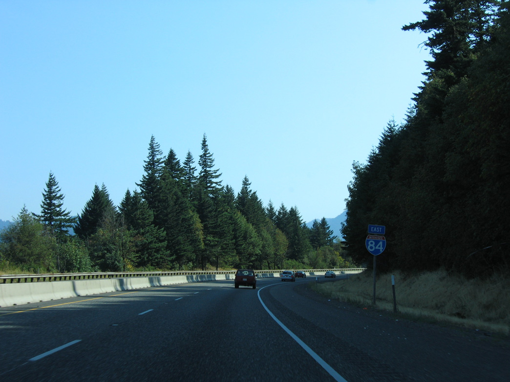
East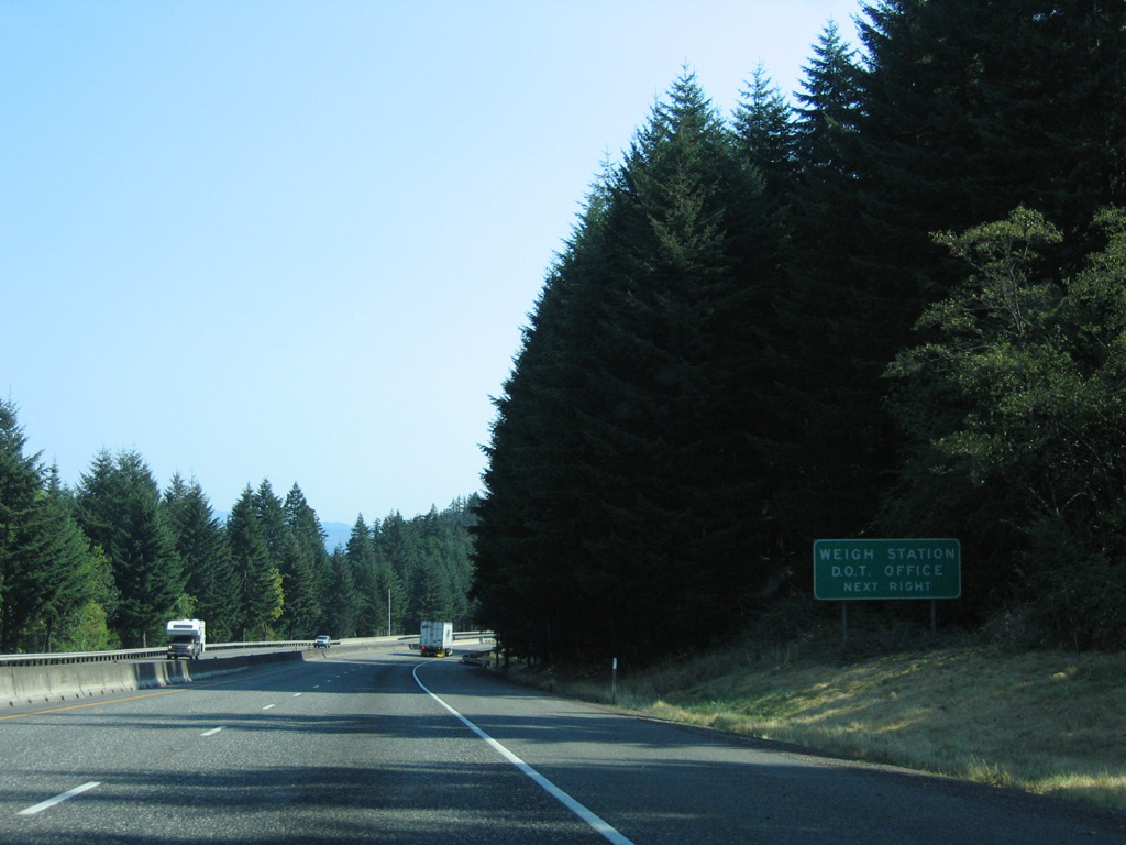
The Cascade Locks Weigh Station follows the Ruckel Street underpass along Interstate 84 eastbound.
08/28/06
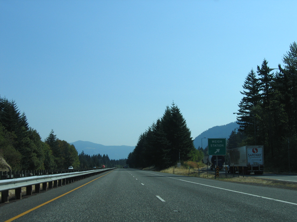
Return access from the weigh station is the half diamond interchange (Exit 44) where U.S. 30 rejoins Interstate 84 eastbound.
08/28/06
East
Forest Lane spans I-84/U.S. 30 in east Cascade Locks.
08/28/06
08/28/06
Confirming marker posted east of the half diamond interchange (Exit 47) at Herman Creek Road and Government Cove.
08/28/06
08/28/06
08/28/06
08/28/06
08/28/06
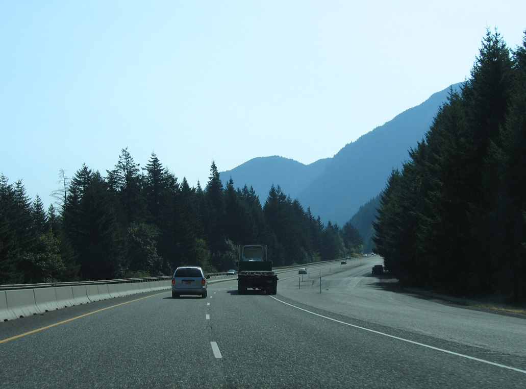
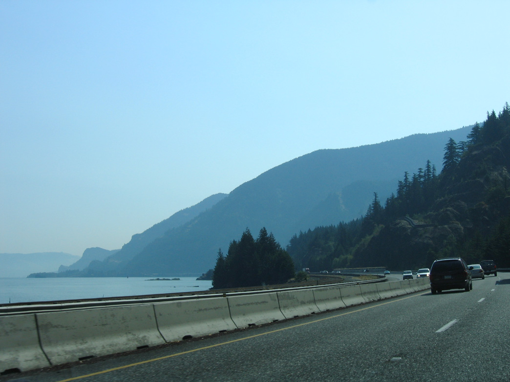
Shellrock Mountain
08/28/06
08/28/06
08/28/06
08/28/06
08/28/06
08/28/06
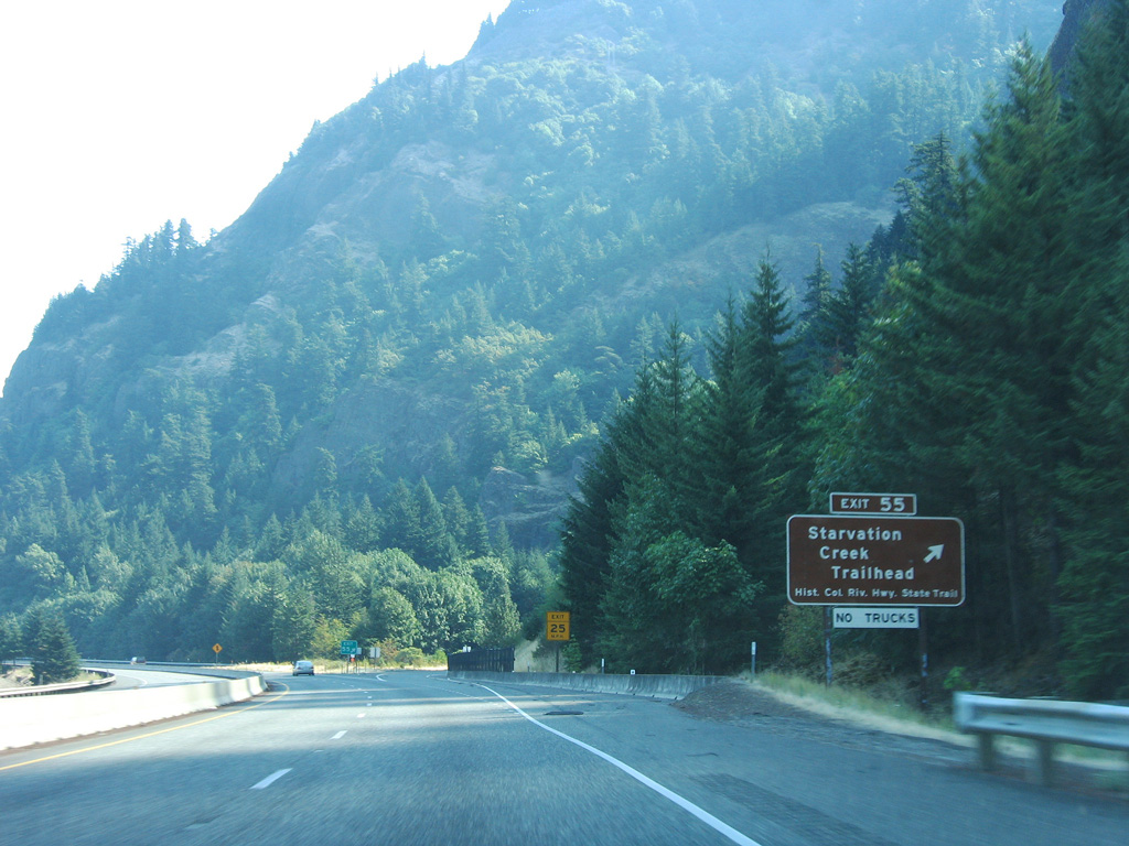
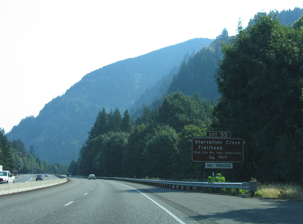
RIRO ramps at Exit 55 lead to Starvation Creek Trailhead.
08/28/06
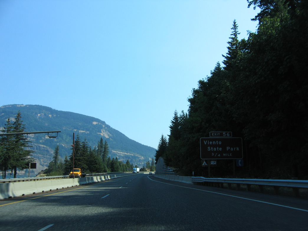
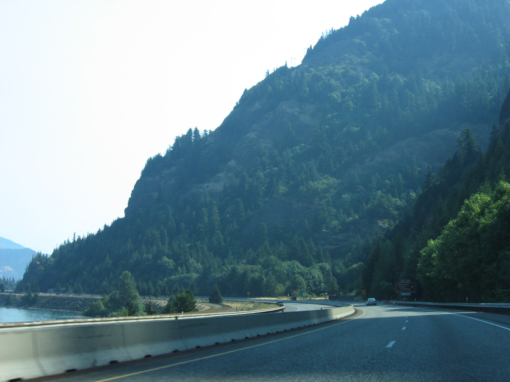
The diamond interchange at Exit 56 serves Viento State Park.
08/28/06

08/28/06
08/28/06
08/28/06
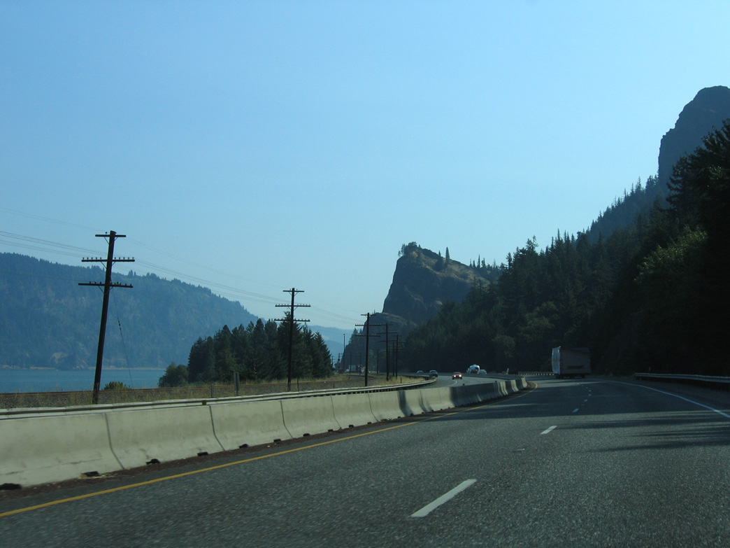
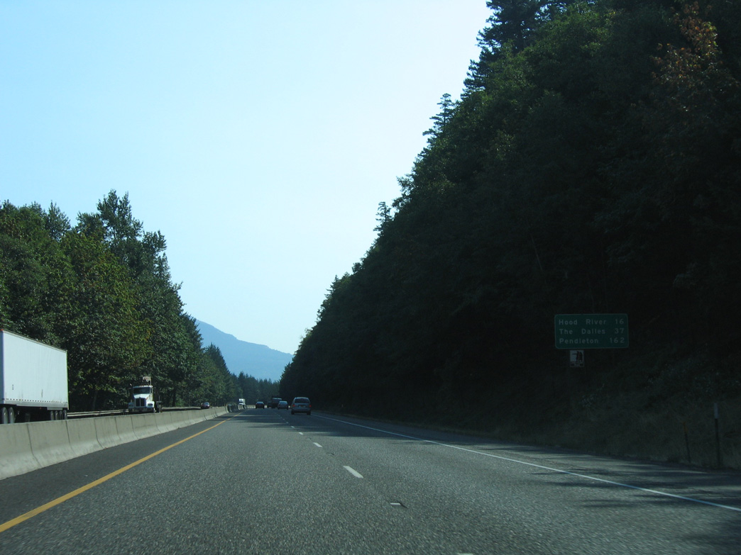
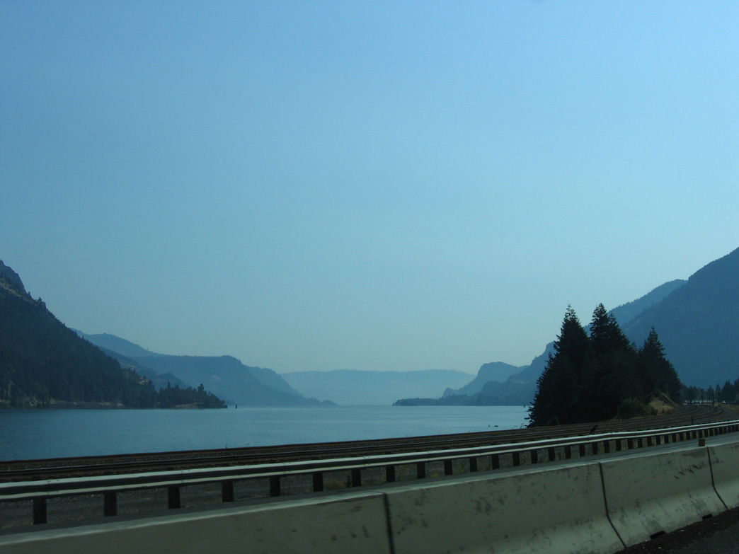
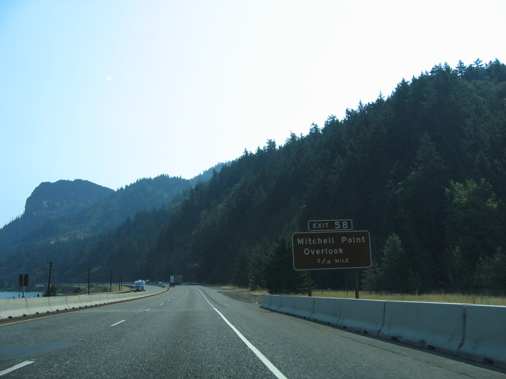
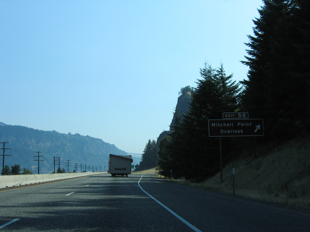
Mitchell Point
08/28/06
08/28/06
Photo Credits:
08/27/06, 08/28/06 by AARoads
Page Updated 07-05-2023.