|
| Continuing south from County Road F62 (500th Street), Iowa 1 traverses a series of hills to Dirty Face Creek. 12/31/14 |
|
| Johnson County F67 follows 540th Street west to Joetown and the Iowa County line and east to CR W62 (Sharon Center Road). 12/31/14 |
|
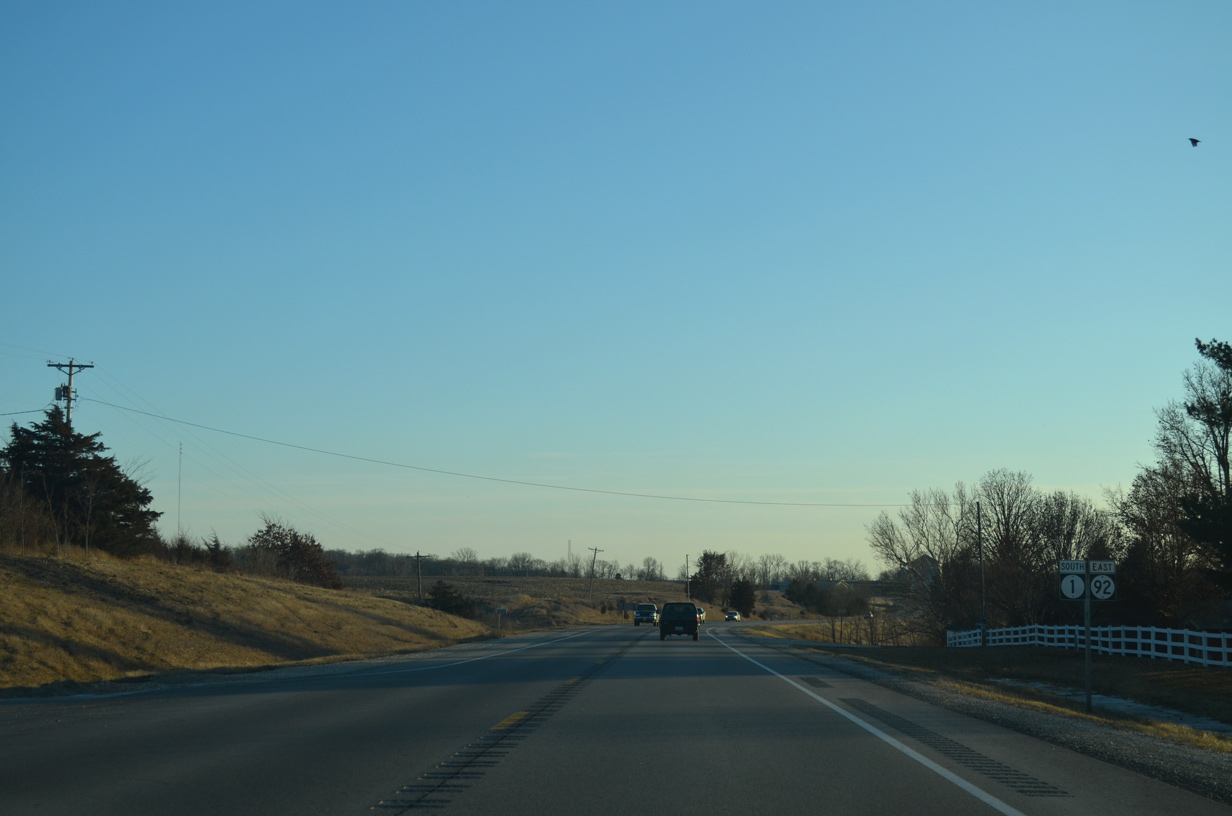
| Iowa 1 leads due south along the Washington and Sharon township line. 12/31/14 |
|
| Johnson Washington Road intersects Iowa 1 as the state highway crosses the Washington County line. 12/31/14 |
|
| One mile south of the county boundary, Iowa 1 reaches the city of Kalona. Kalona was established by the Burlington, Cedar Rapids and Northern Railway in 1879. It was incorporated in 1890. Home to nearly 2,500, the city today draws tourists to the Kalona Historical Village. 12/31/14 |
|
| Iowa 1 generally bypasses Kalona along the western side of town to Iowa 22. 12/31/14 |
|
| The Kalona street grid extends west to Iowa 1 beyond Iowa 22 (E Avenue) as the state highway continues south toward the English River. 12/31/14 |
|
| Iowa 22 stretches west seven miles to Wellman and east seven miles to Riverside across northern Washington County. 12/31/14 |
|
| A four-way stop sign governs the movements between Iowa 1 and 22 (E Avenue) in Kalona. Iowa 22 totals 98 miles from Iowa 21 near Thornburg to U.S. 61 Business in Davenport. 12/31/14 |
|
| Iowa 1/92 combine for 3.1 miles southward to the city of Washington. 12/31/14 |
|
| County Road G37 (18th Street) stems east from Iowa 1/92 along the north Washington city line at this shield assembly. 12/31/14 |
|
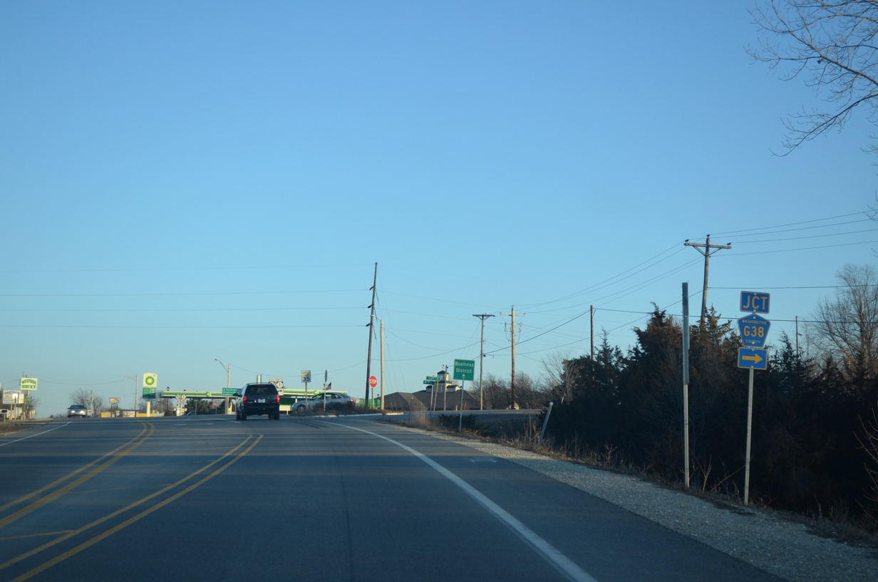
| County Road G38 runs 13.4 miles east from Keokuk County W15 and Talleyrand to end at Iowa 1/92 in Washington. 12/31/14 |
|
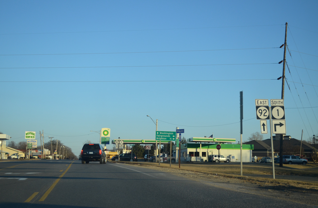
| Iowa 1 branches south from Iowa 92 (Madison Street) at the subsequent intersection. 12/31/14 |
|
| Iowa 92 continues east along Madison Street to 2nd Avenue and the Washington business district while Iowa 1 angles southwest from the city 11 miles to Brighton. 12/31/14 |
|
| Resuming southward, Iowa 1 passes by the Washington County Fairgrounds as it departs the city of Washington. 04/12/13 |
|
| Iowa 1 curves through the intersection with Kiki Avenue north at this reassurance marker. 04/12/13 |
|
| Southbound Iowa 1 after the staggered intersection with 290th Street. 04/12/13 |
|
| Ginkgo Avenue south becomes 315th Street east at Iowa 1 ahead of this shield assembly. 04/12/13 |
|
| Crossing the Skunk River on Iowa 1 south. The Skunk is a 93 mile tributary of the Mississippi River formed to the west by two branches at Marshall County and ending five miles south of Burlington. 04/12/13 |
|
| Iowa 1 rises 100 feet in elevation from the Skunk River into the city of Brighton. 04/12/13 |
|
| The state highway takes Benton Street southwest to Iowa 78 (Fountain Street) within Brighton. 04/12/13 |
|
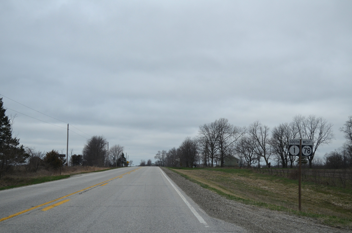
| Iowa 1/78 overlap for 7.8 miles west from Brighton to southeast Keokuk County. 04/12/13 |
|
| Iowa 78 ventures east from Brighton six miles to Coppock and nine miles to Wayland. A 59 mile route, IA 78 heads west to IA 149 near Martinsburg and east to U.S. 61 in south Louisa County. 04/12/13 |
|
| A flasher hangs above the intersection of Iowa 1 (Benton Street) south and Iowa 78 (Fountain Street). Benton Street heads one block south to the Brighton business district. South of the city, County Road W40 extends from the street to Lockridge. 04/12/13 |
|
| Iowa 1/78 (Fountain Street) follow Fountain Street west for seven blocks to leave the city of Brighton at Ginkgo Avenue. 04/12/13 |
|
| Continuing west from Ginkgo Avenue, Iowa 1 travels west and south 19 miles to Fairfield while Iowa 78 bee lines west nine miles to Richland. 04/12/13 |
|
| One mile further, Iowa 1/78 south intersect County Road W21 (Fir Avenue) south. CR W21 makes an implied overlap with the state highway pair west one mile to Elm Avenue north. 04/12/13 |
|
| County Road W21 travels two miles south to the city of Pleasant Plain in adjacent Jefferson County. 04/12/13 |
|
| Reassurance markers posted after CR W21 south and Fir Avenue. 04/12/13 |
|
| Westbound after Elm Avenue (CR W21 north), Iowa 1/78 advance toward Lake Darling State Park. 04/12/13 |
|
| County Road G67 stems north from Iowa 1/78 along Birch Avenue. The route arcs 5.7 miles west to Keokuk County W15. 04/12/13 |
|
| Birch Avenue carries CR G67 four miles north to 1st Street west through the settlement of Rubio. 04/12/13 |
|
| Iowa 1 south / Iowa 78 west shield assembly posted after Washington County Route G67 (Birch Avenue). 04/12/13 |
|
| 1.25 miles further west, Iowa 1/78 enter Keokuk County. 04/12/13 |
|
| One mile into Keokuk County is the split of Iowa 1 south from Iowa 78 west. 04/12/13 |
|
| Iowa 1 drops southward 12 miles to the city of Fairfield while Iowa 78 reaches the south side of Richland in one mile. 04/12/13 |
|
| Iowa 1 concludes in 37 miles at Iowa 2 south of Keosauqua while Iowa 78 continues another 13 miles west. 04/12/13 |
|
| Leading away from Iowa 78 along Iowa 1 south toward Fairfield. 04/12/13 |
|
| Drivers along Iowa 1 south enter Jefferson County one mile from Iowa 78. 04/12/13 |
|
| Jefferson County H17 ties into Iowa 1 from 110th Street west to make an implied overlap with the highway south one mile. 04/12/13 |
|
| 110th Street carries CR H17 east five miles to the Pleasant Plain city line at Quince Avenue. 04/12/13 |
Page Updated 08-07-2015.