

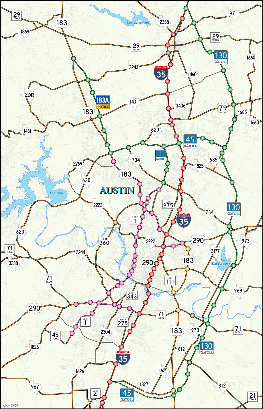
There are two sections of State Highway 45. State Highway 45 North (SH 45 N) travels to the north of Austin across Round Rock for 13.25 miles between RM 620 and SH 130. State Highway 45 Southeast (SH 45 SE) currently exists in two segments: 2.60 miles from RM 1826 to the south end of SL 1 in southwest Austin, and 8.68 miles from IH 35 east through Creedmoor to U.S. 183 / SH 130 at Mustang Ridge. The long range plan is to connect the two as a full loop west from SH 130, the Austin east bypass.
SH 45 N was completed in two stages. The first section opened between Toll 1, extension of the MoPac Expressway, and SH 130 at Pflugerville on November 1, 2006. The toll road was extended west from Toll 1 and Round Rock to U.S. 183 / Toll 183A in north Austin on April 27, 2007. Further extension is planned from U.S. 183 west to the Travis County line.
Texas State Highway 45 Guides
Connect with:
Interstate 35
Loop 1 - Mopac MoPac Expressway
State Highway 130
State Highway 183A
U.S. 183
Page Updated 01-25-2018.