
Toll 183A opened to traffic on March 3, 2007. The route bypasses U.S. 183 to the east from SH 45 N northward to U.S. 183 near the South Fork of the San Gabriel River in north Leander. Signage for the highway does not reflect U.S. 183A but instead a state highway with a trailblazer created by the Central Texas Regional Mobility Authority. Tolls along the 11.01 mile freeway are collected electronically through TxTag at two collection points: the Park Street Main Toll point and the Lakeline Main Toll point. Cash collection was discontinued at the Park Street plaza and replaced with toll-by-plate on December 1, 2008.1
Texas State Highway 183A Guides
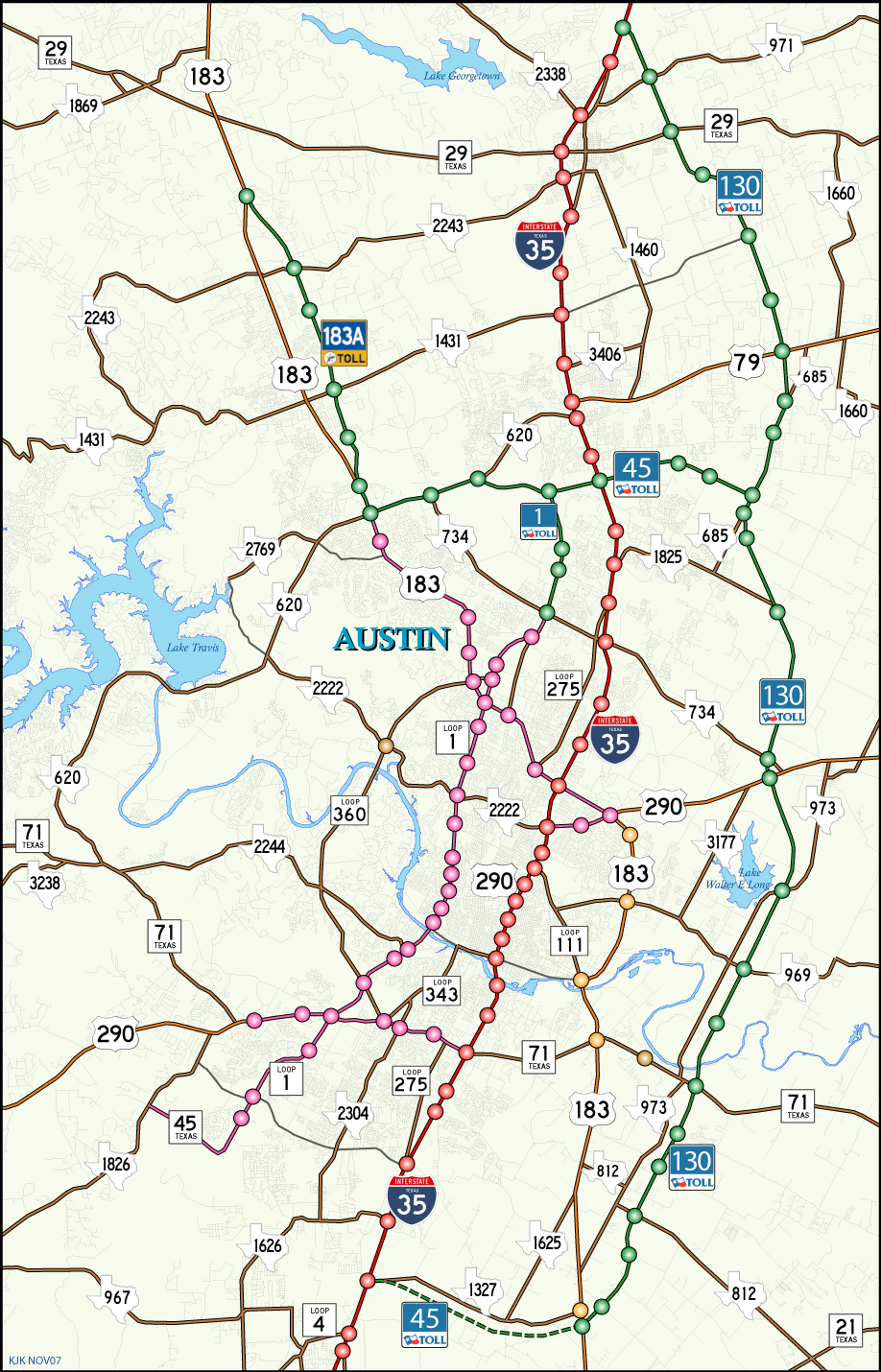
Toll 183A travels alongside U.S. 183 initially before separating from the US highway through Cedar Park and Leander.
 | RM 1431 (Whitestone Boulevard) westbound at Toll 183A. Frontage roads provide the connections to the north-south toll road. RM 431 continues west through Cedar Park to Jonestown in Travis County. 09/28/07 |
Sources:
- "183A to go cashless on Dec. 1." Hill Country News, October 21, 2008.
Photo Credits:
09/28/07 by AARoads
Connect with:
State Highway 45
U.S. 183
Page Updated 01-25-2018.