SH 166 forms a 42.77 mile loop around the Davis Mountains in West Texas from SH 17 near Fort Davis to FM 505 and SH 118.
|
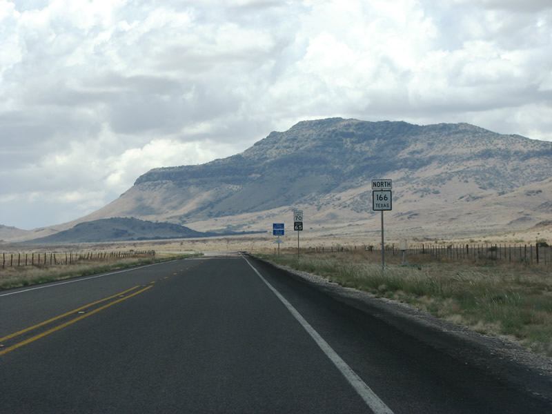
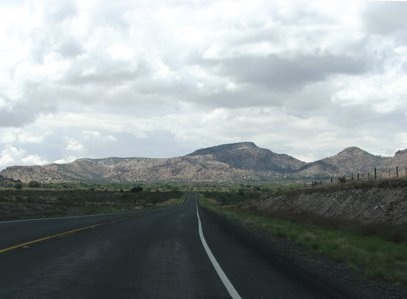
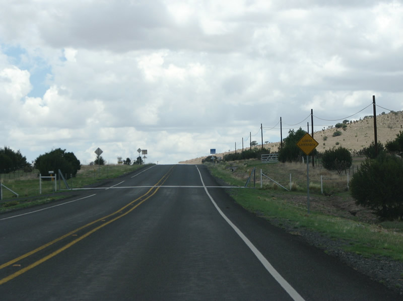
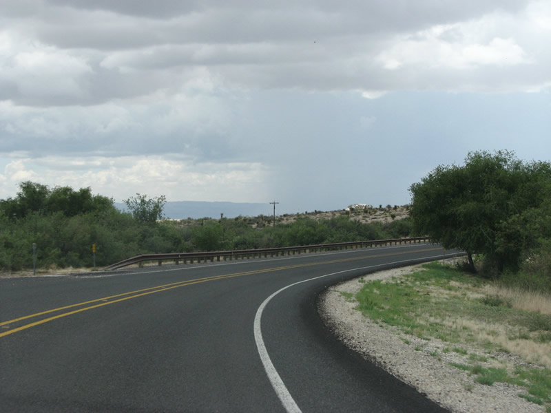
| SH 166 begins at SH 17 south of Fort Davis. This view looks west along the road towards Blue Mountain (elev 7,286 feet). 07/04/08 |
|
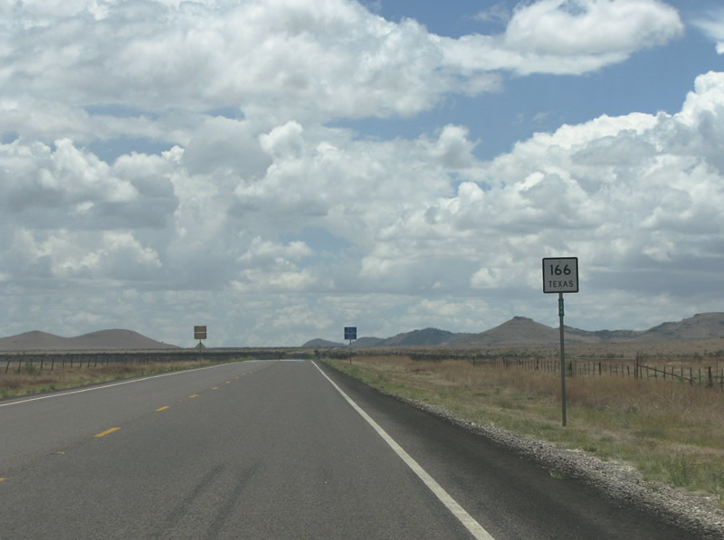
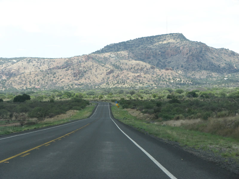
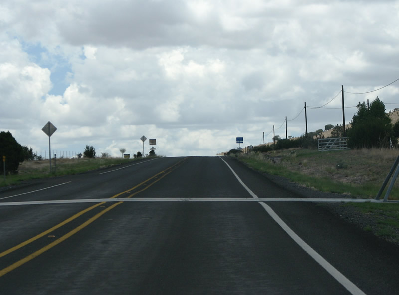
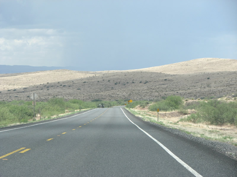
| SH 166 generally runs through ranches with open grazing land across areas south of Blue Mountain. The state highway passes between Ninemile Hill and Bull Pasture Hills in the distance. 07/04/08 |
|
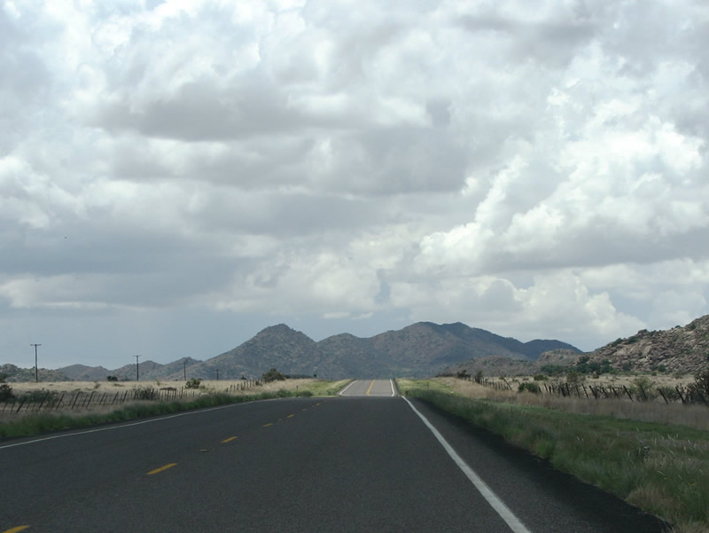
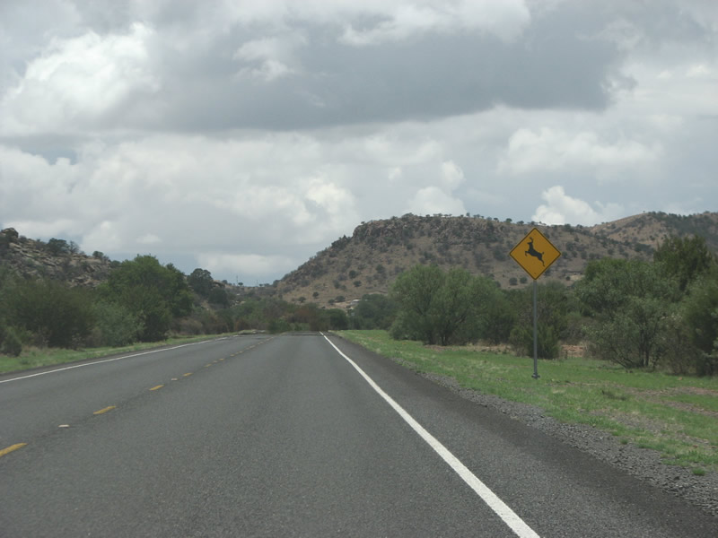
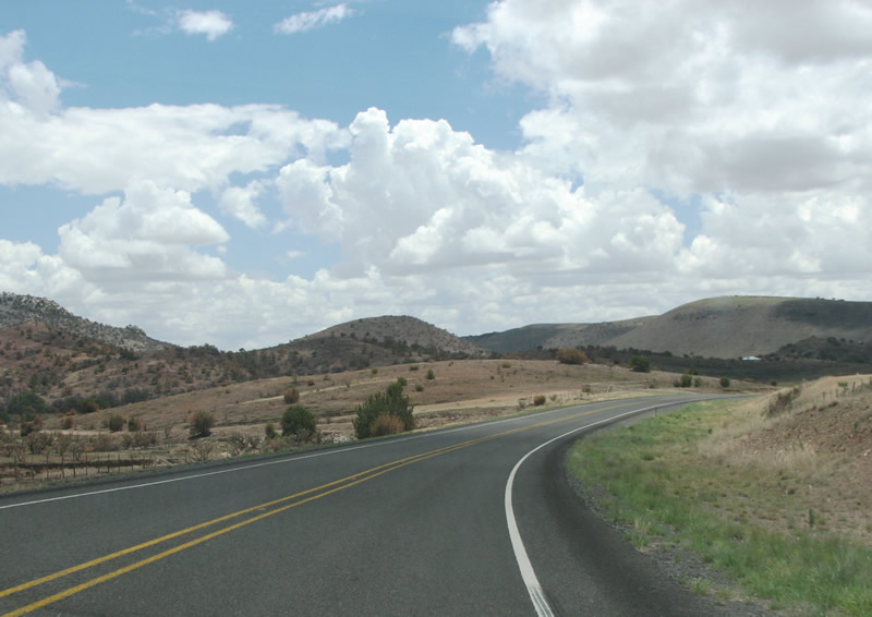
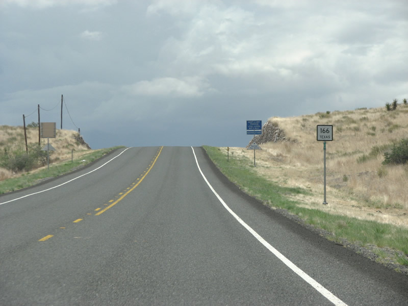
| SH 166 travels west through the Point of Rocks area toward Bloys Camp Meeting and Brown Mountain. 07/04/08 |
|
| SH 118 gains 400 feet in elevation from Point of Rocks to Bloys Camp Meeting. 07/04/08 |
|
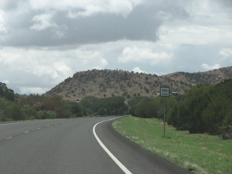
| A reassurance marker appears at the settlement of Bloys Camp Meeting, the only place name encountered by the state highway. 07/04/08 |
|
| One of several cattle guards along the state highway precedes Dave Street at Bloys Camp Meeting. 07/04/08 |
|
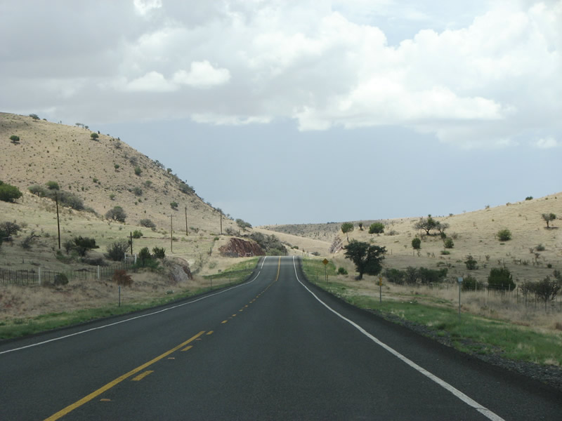
| SH 166 navigates through a series of S curves through the valley south of White Mountain and north of Mine Mountain. 07/04/08 |
|
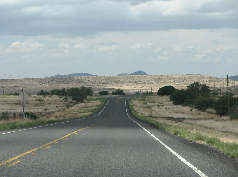
| SH 166 continues west by Crows Nest Hill. 07/04/08 |
|
| Winding alongside Medley Draw, SH 166 reaches Barrel Springs Ranch. 07/04/08 |
|
| SH 166 trends northward from Barrel Spring to Merrill Canyon. 07/04/08 |
|
| El Muerte Peak appears along the northern horizon along SH 166 just ahead of FM 505 at Merrill Canyon. 07/04/08 |
|
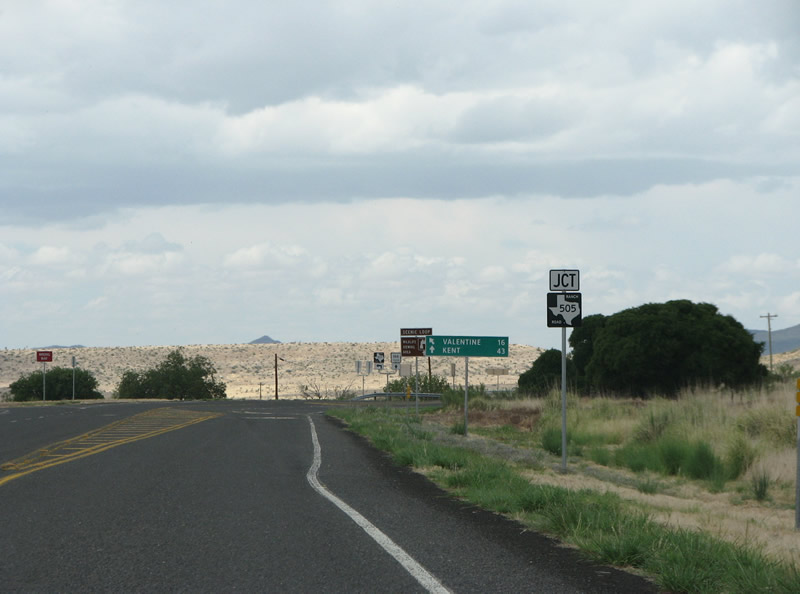
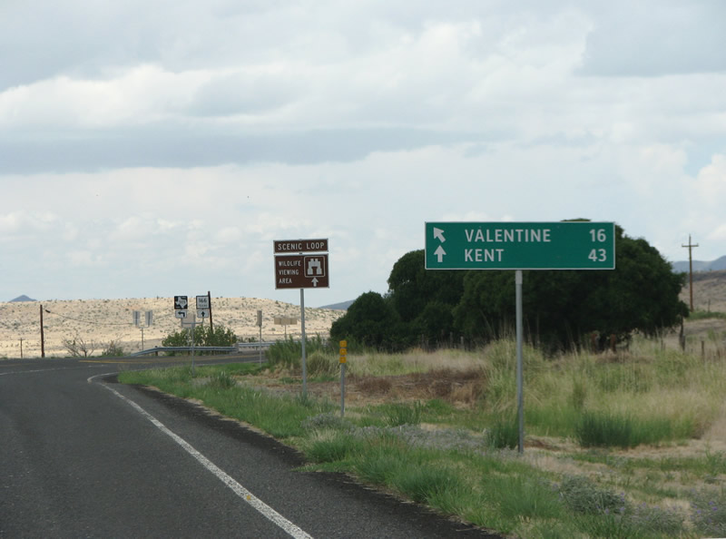
| FM 505 is the only FM junction along SH 166. The 8.82 mile long highway provides a shortcut west from SH 166 to U.S. 90 and the town of Valentine. This is the FM road most residents of Fort Davis would take when headed west. 07/04/08 |
|
| Control points at the intersection reference the nearly-abandoned town of Valentine along U.S. 90 to the west, and Kent at IH 10 to the north. SH 166 continues north of here to end at SH 118. 07/04/08 |
|
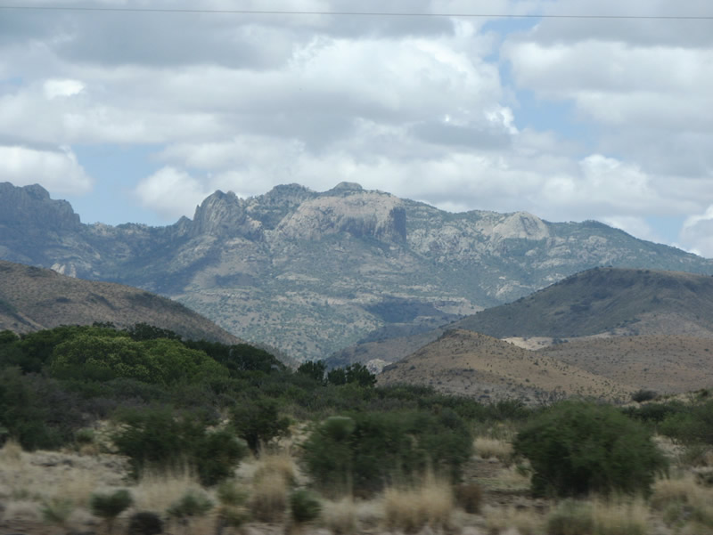
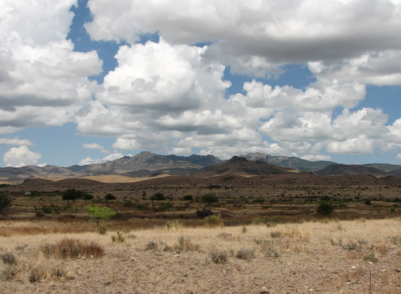
| The northern leg of SH 166 traverses the Davis Mountains. The range is both rugged and impressive. 07/04/08 |
Page Updated 07-31-2019.