

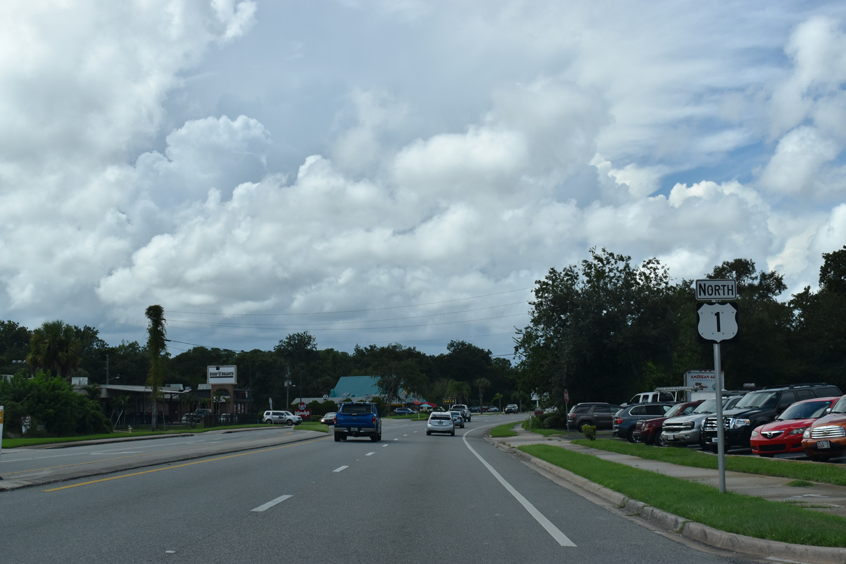
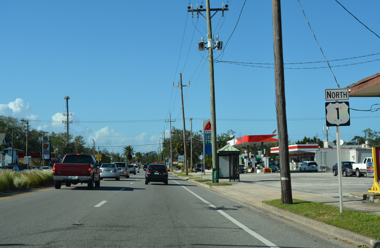
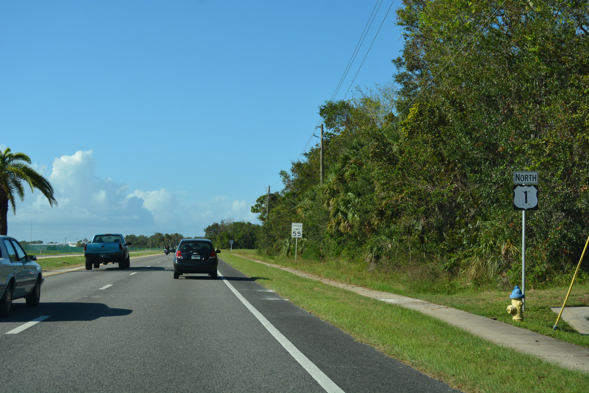
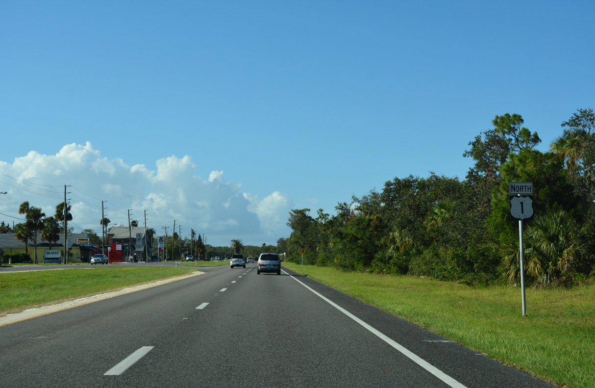
 North
North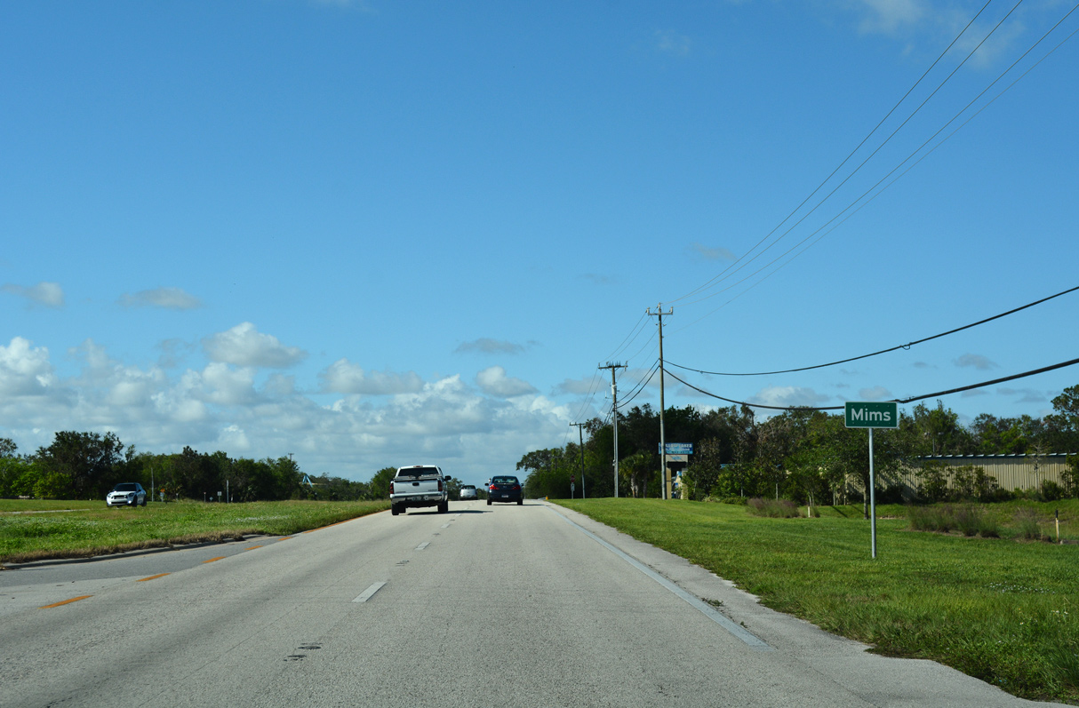
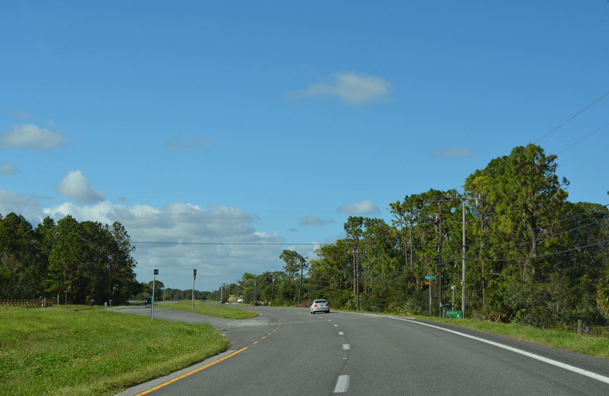
Continuing from Titusville in northern Brevard County, U.S. 1 enters the unincorporated community of Mims.
10/14/17
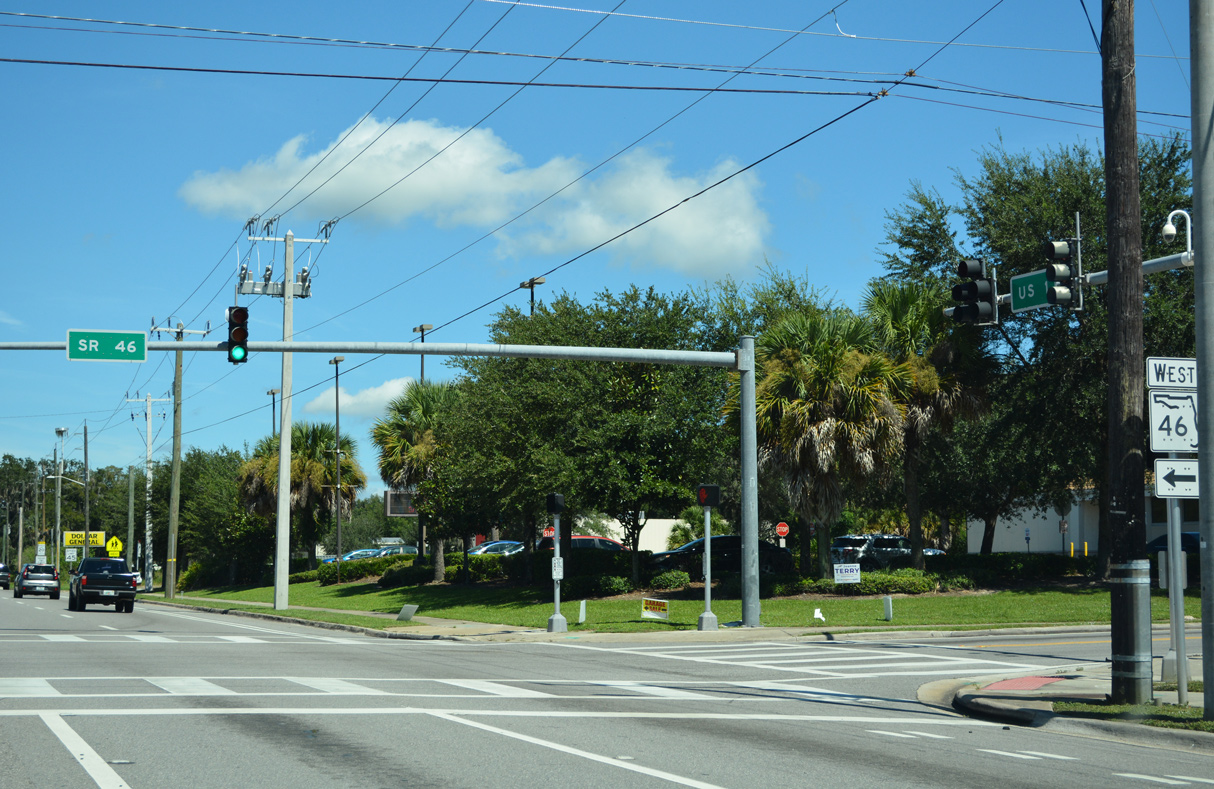
A trailblazer for Interstate 95 at Jefferson Street in Mims precedes the east end of SR 46 (Main Street).
09/12/22
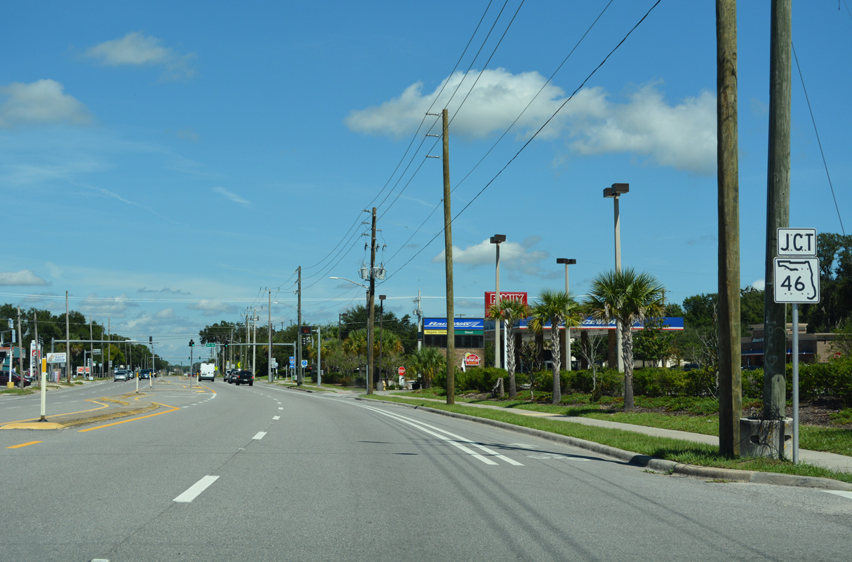
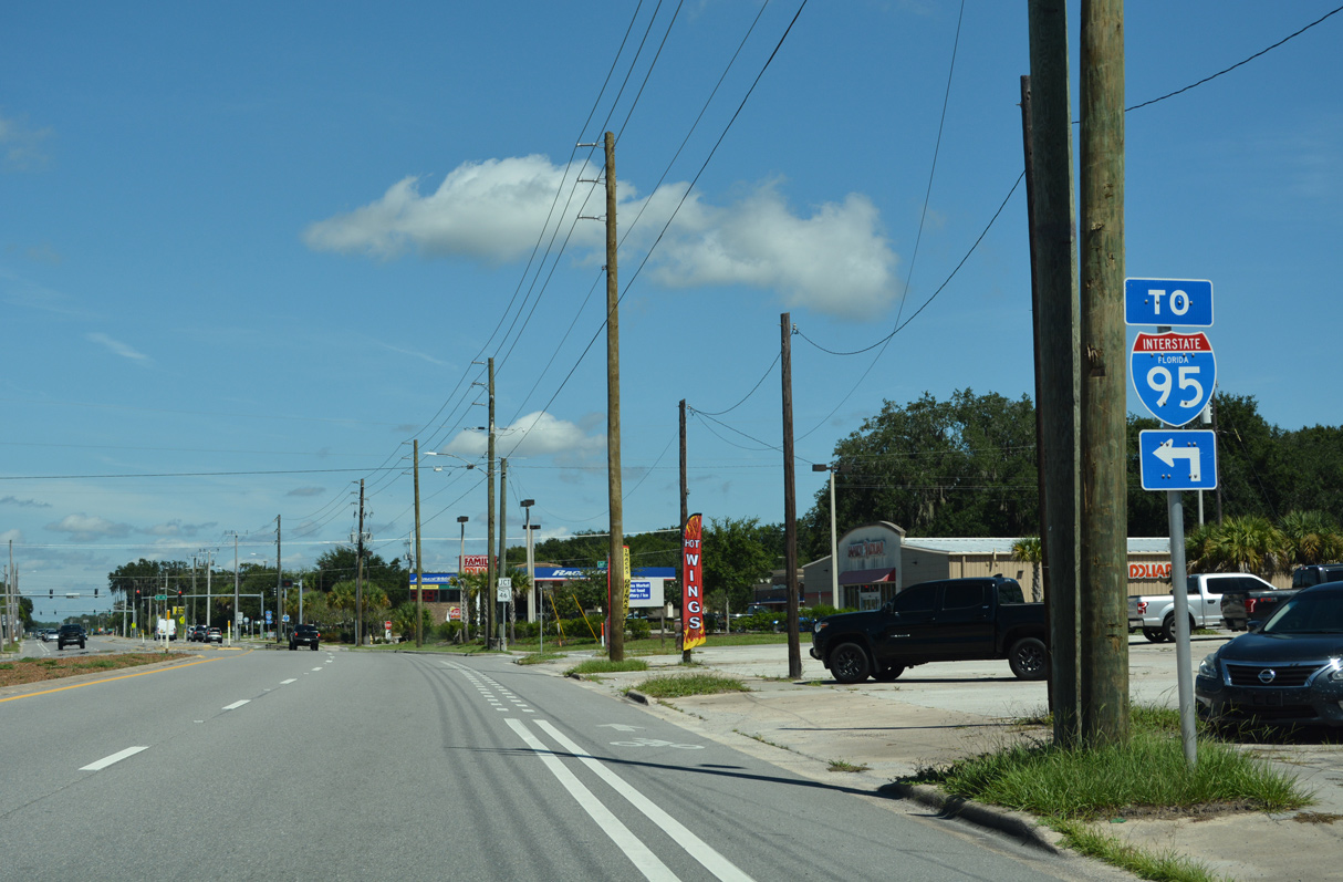
SR 46 travels 39.49 miles west from Mims to SR 429 (Wekiva Parkway) between Sanford and the Wekiva River.
09/12/22
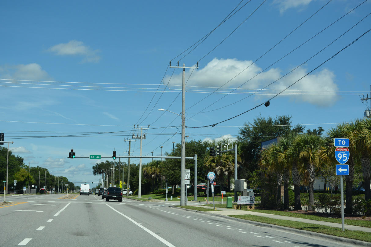
SR 46 meets Interstate 95 at a diamond interchange (Exit 223) 1.5 miles west of U.S. 1.
09/12/22
09/12/22
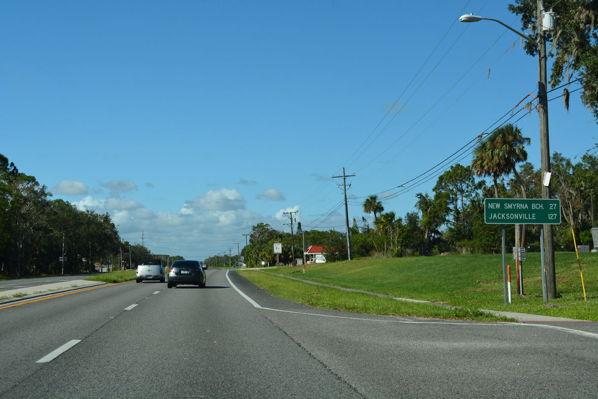
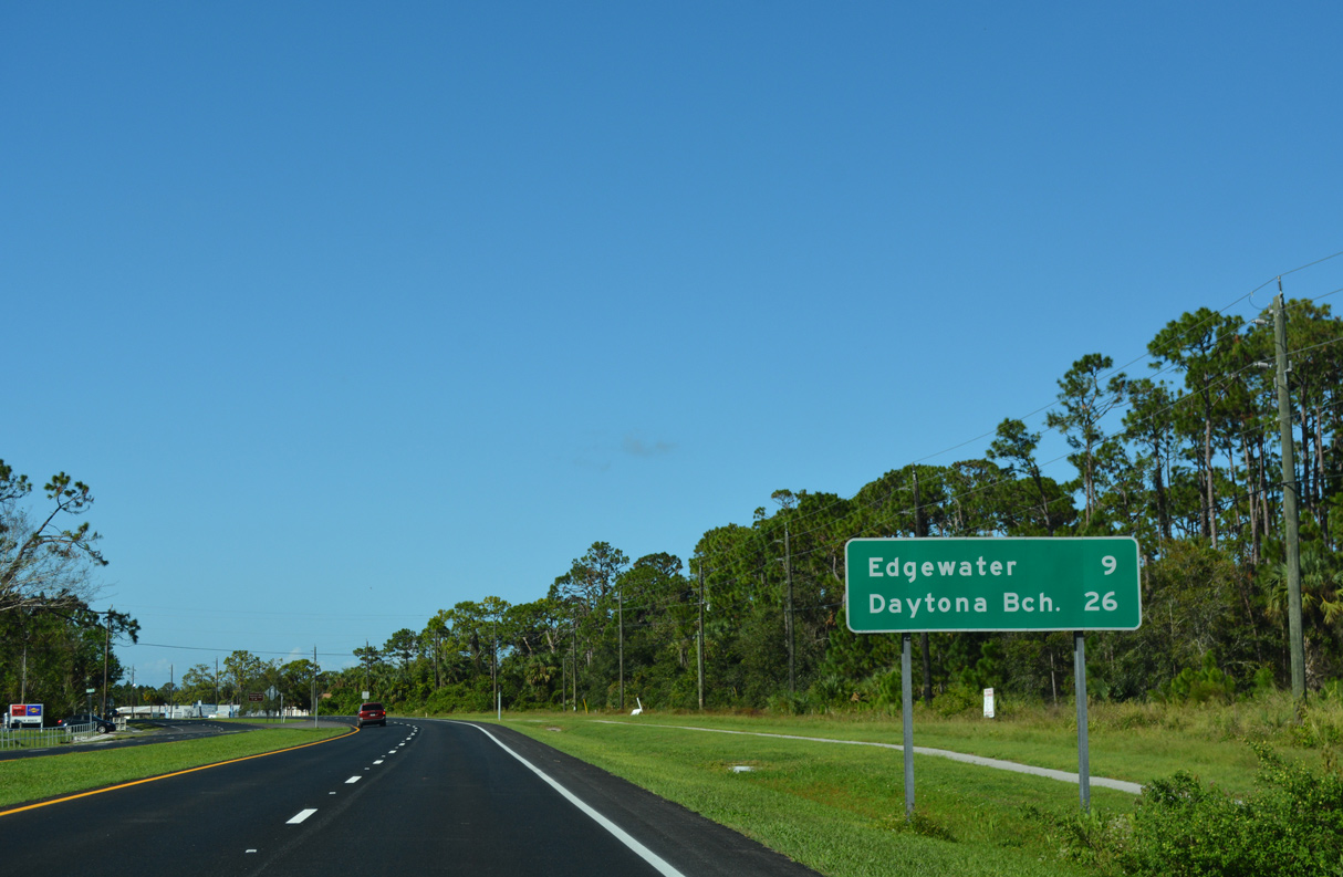
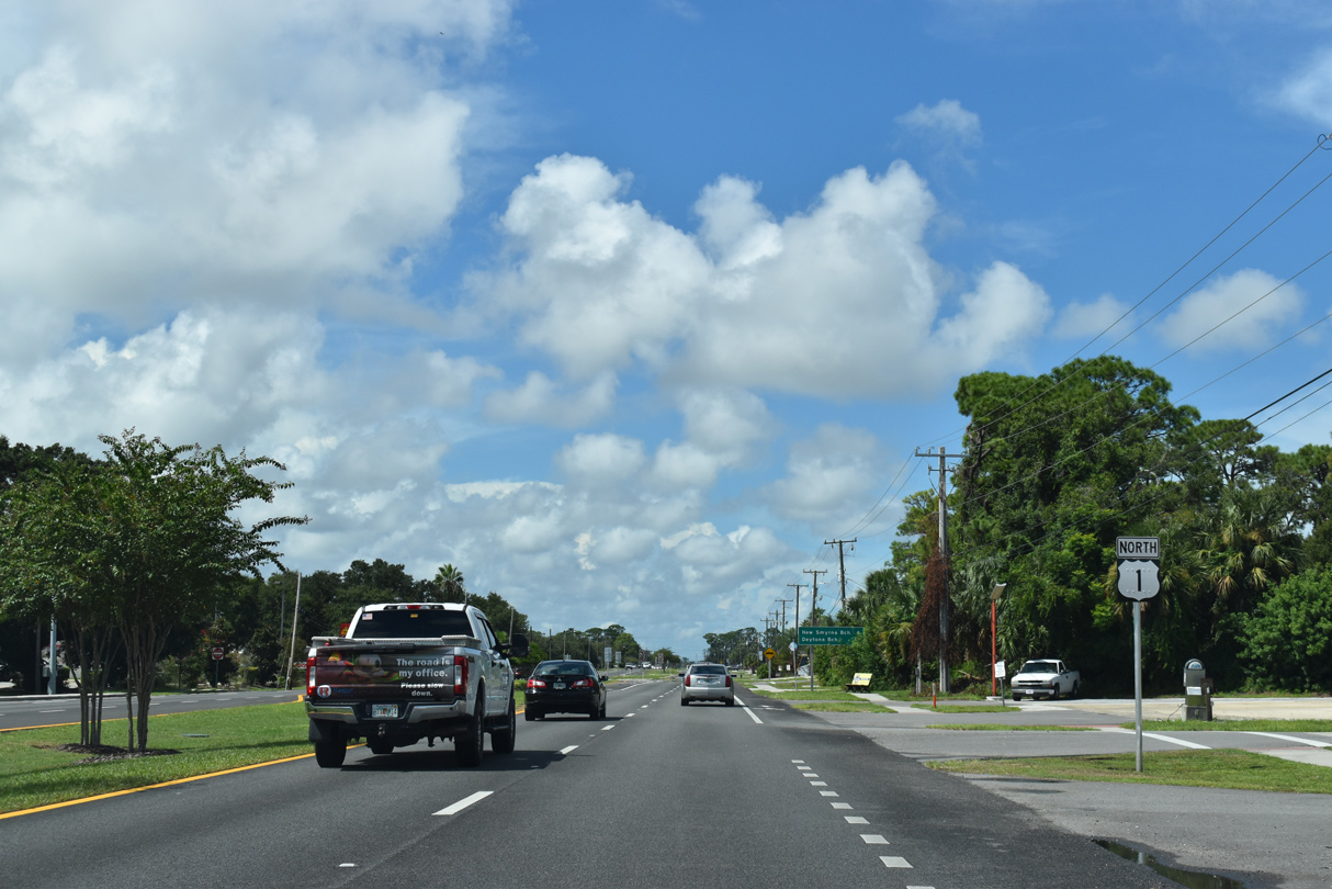
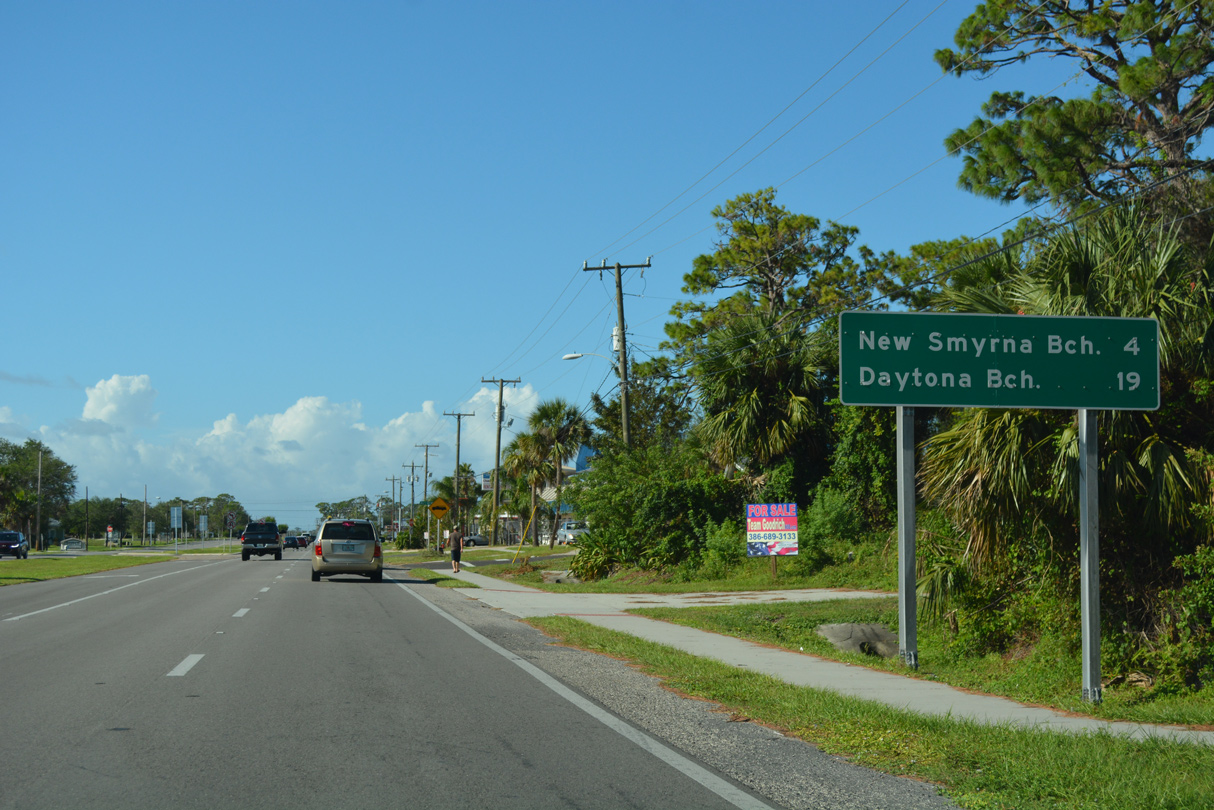
New Smyrna Beach is 27 miles north of Mims along U.S. 1.
10/14/17
10/14/17
Reassurance marker posted ahead of Gloria Avenue at Mims.
10/14/17
10/14/17
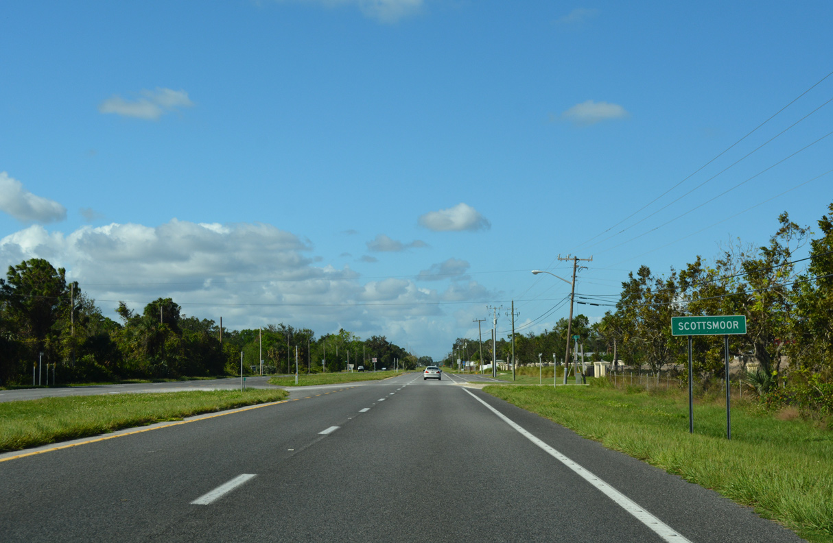
The unincorporated community of Scottsmoor constitutes a residential street grid along U.S. 1 between Johns Road and Sunset Avenue.
10/14/17
A unique reassurance marker for U.S. 1 precedes Spring Street at Scottsmoor.
10/14/17
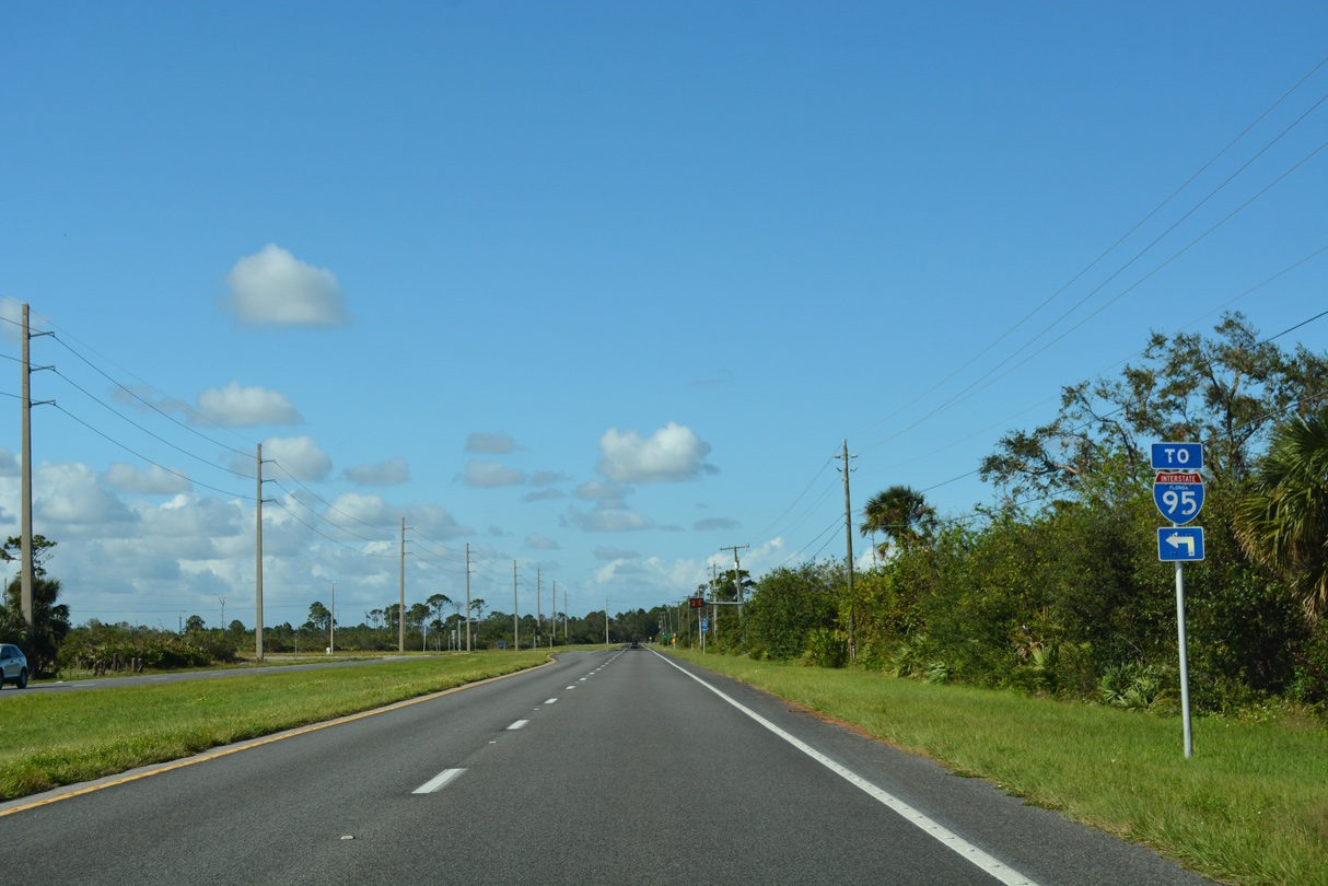
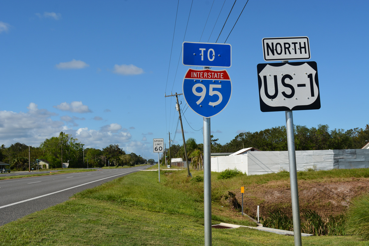
Deering Parkway, unsigned County Road 5A, links U.S. 1 north of Scottsmoor with Interstate 95 at Exit 231.
10/14/17

The state named shield for I-95 preceding Deering Parkway was installed in December 2012.
09/28/13

CR 5A (Deering Parkway) spurs 1.11 miles west from U.S. 1 to the exchange with Interstate 95.
10/14/17
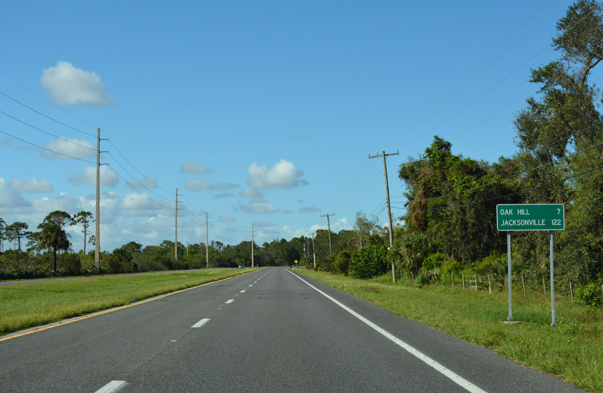
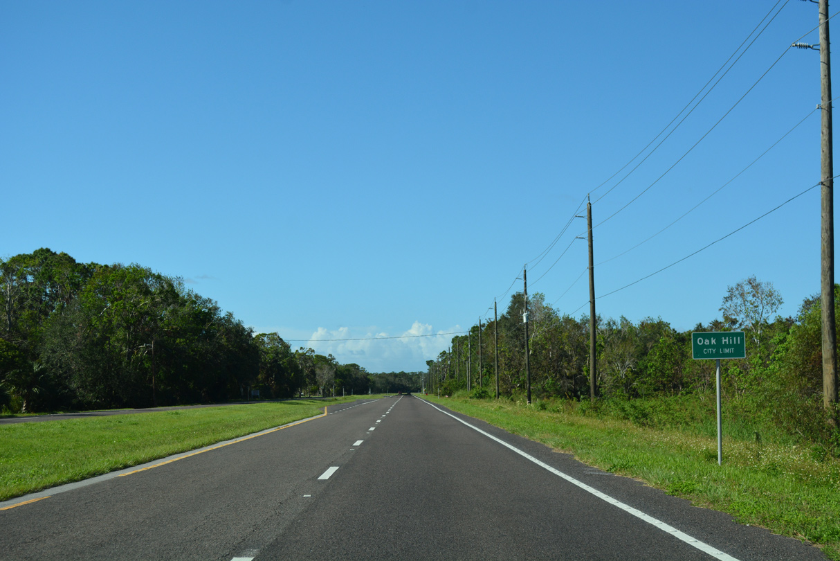
The city of Oak Hill lies seven miles north of Deering Parkway on U.S. 1.
10/14/17
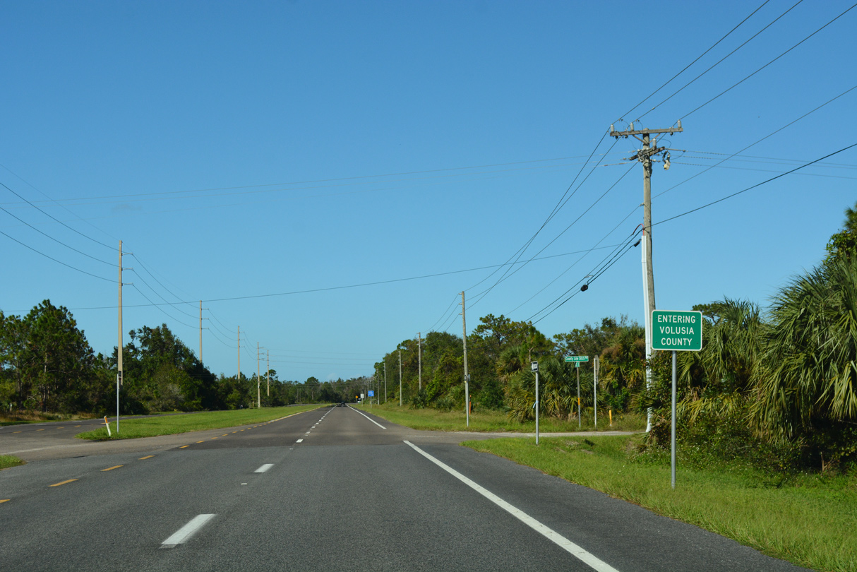
Curving northeast toward the Indian River North, U.S. 1 crosses the Volusia County line.
10/14/17
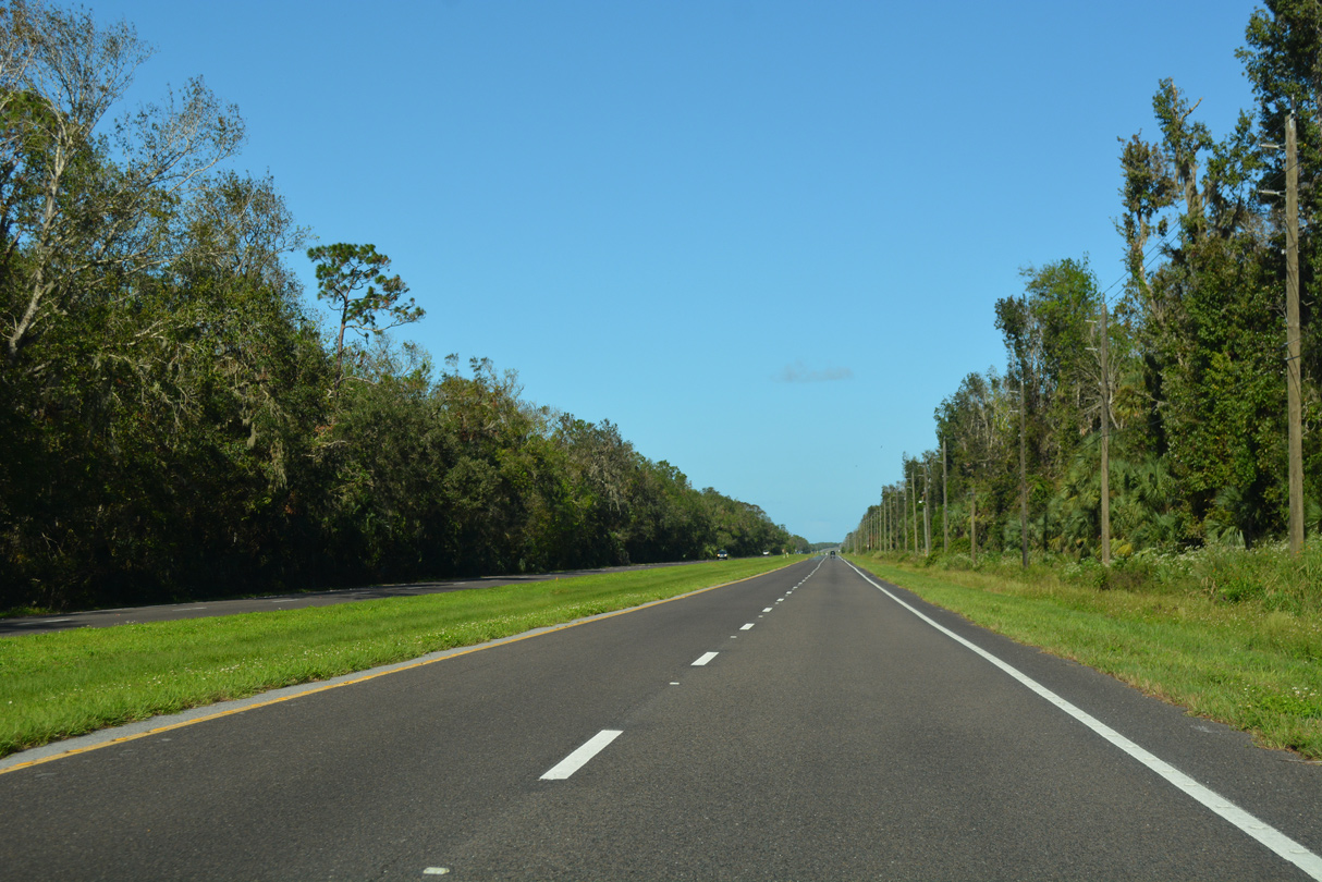
U.S. 1 bee lines northeast across Turnbull Creek.
10/14/17
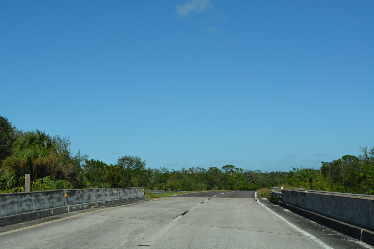
U.S. 1 spans the Florida East Coast (FEC) Railway just ahead of the northern boundary of John F. Kennedy Space Center.
10/14/17
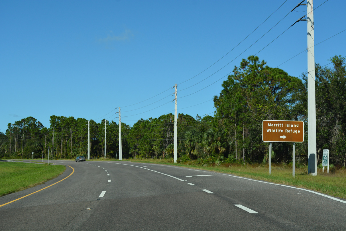
Kennedy Parkway (former SR 3) converges with U.S. 1 north from Kennedy Space Center and Merritt Island National Wildlife Refuge.
10/14/17

10/14/17
U.S. 1 proceeds north from Kennedy Parkway into the city of Oak Hill.
10/14/17
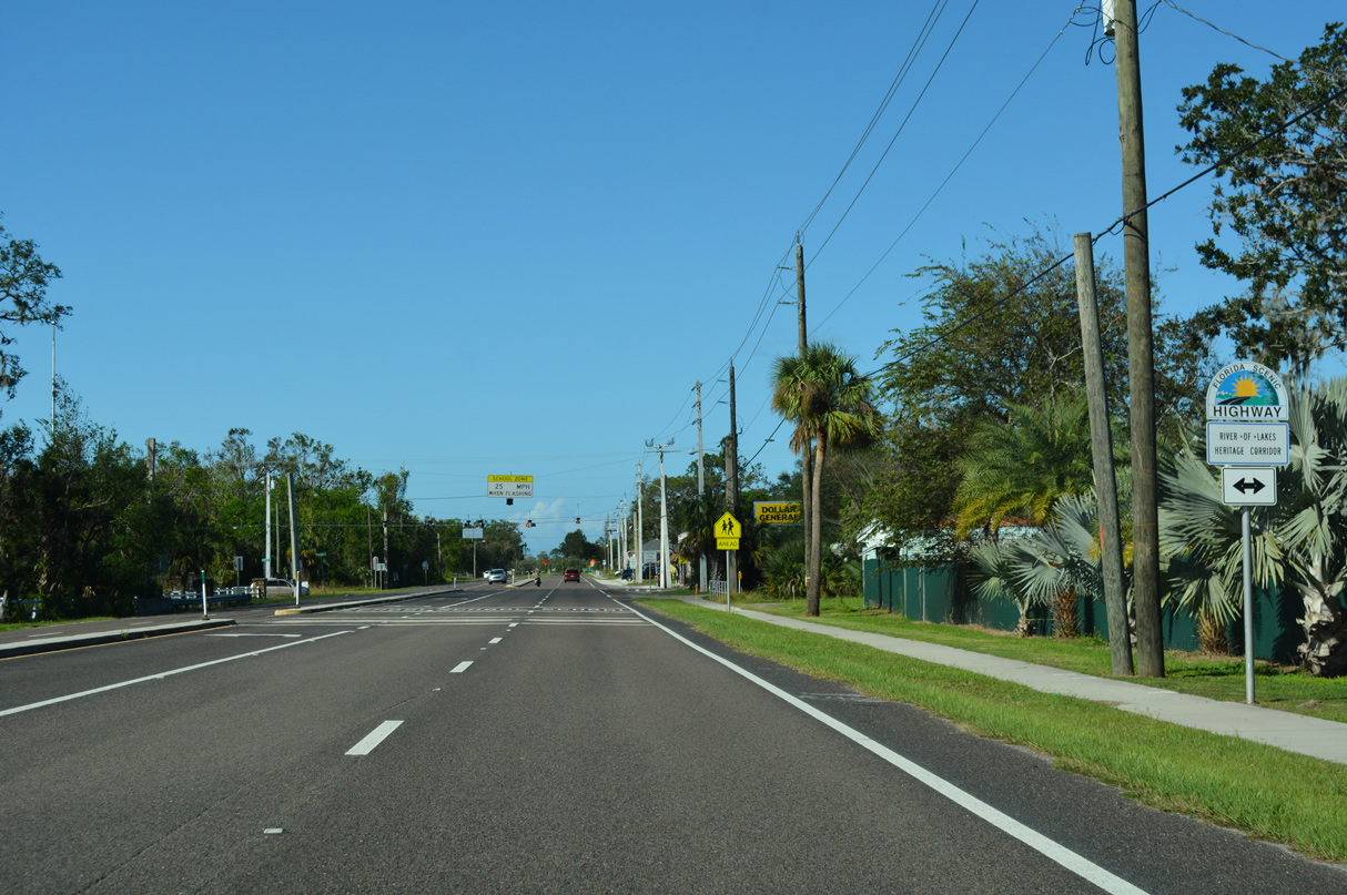
CR 4164 (Halifax Avenue) is part of the Florida Scenic Highway - River of Lakes Heritage Corridor. CR 4164 loops 2.73 miles east of U.S. 1 and extends 22.68 miles west to SR 415 at Osteen.
10/14/17

10/14/17
10/14/17
10/14/17
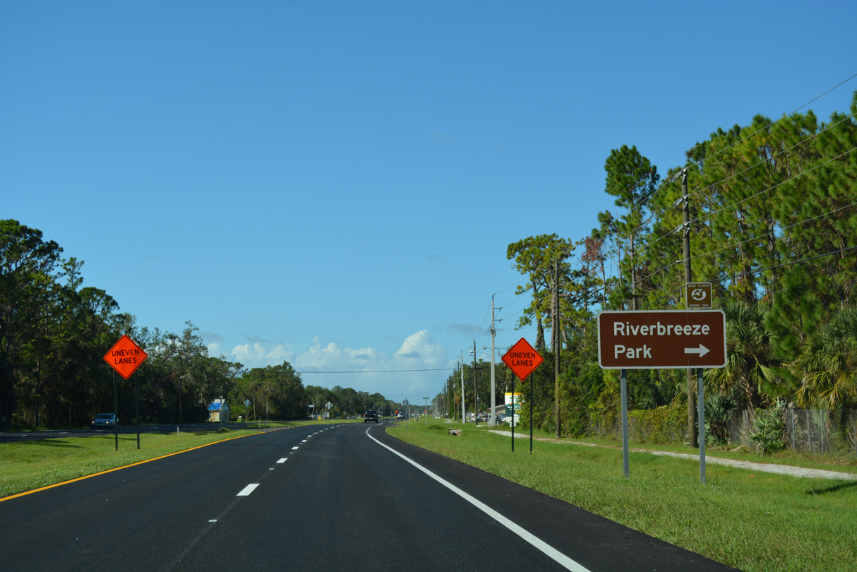
10/14/17
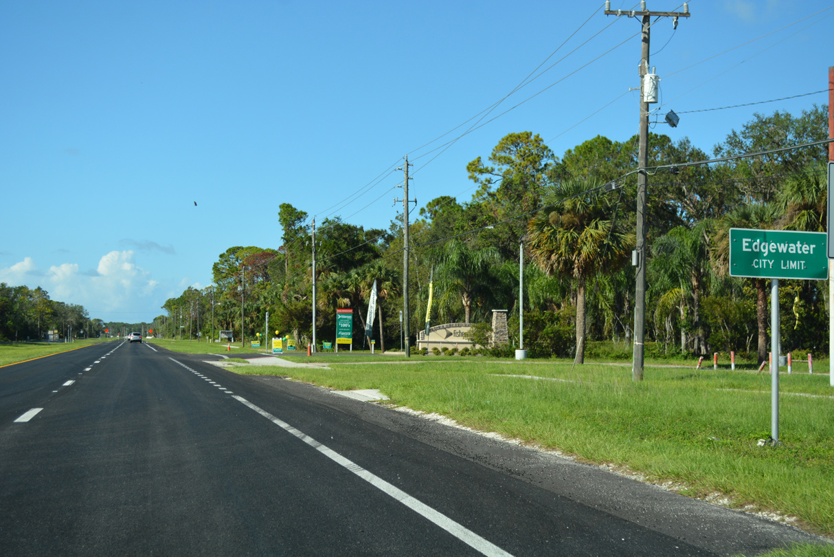
Roberts Road stems west from U.S. 1 in Edgewater to 30th Street through the Florida Shores community.
10/14/17
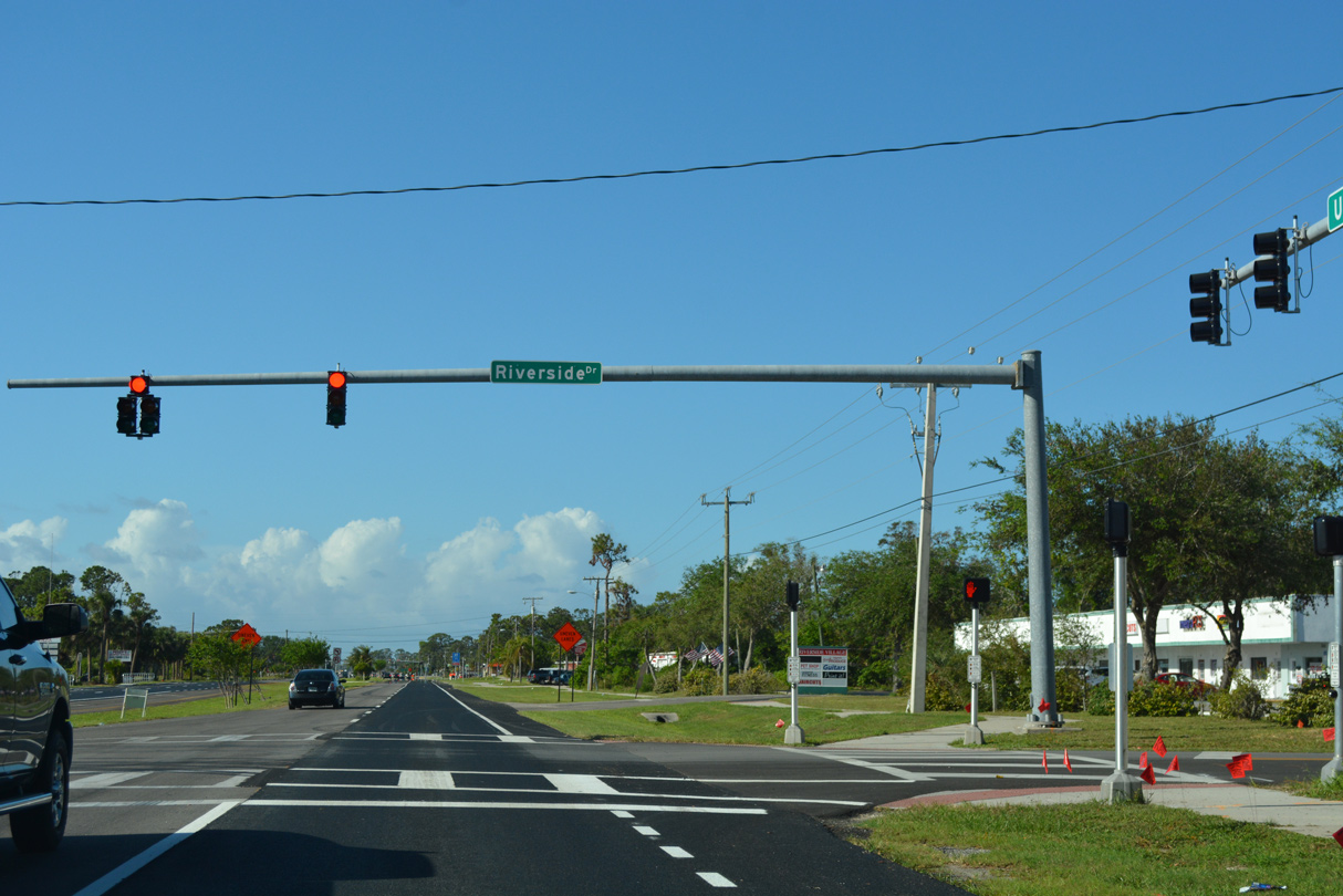
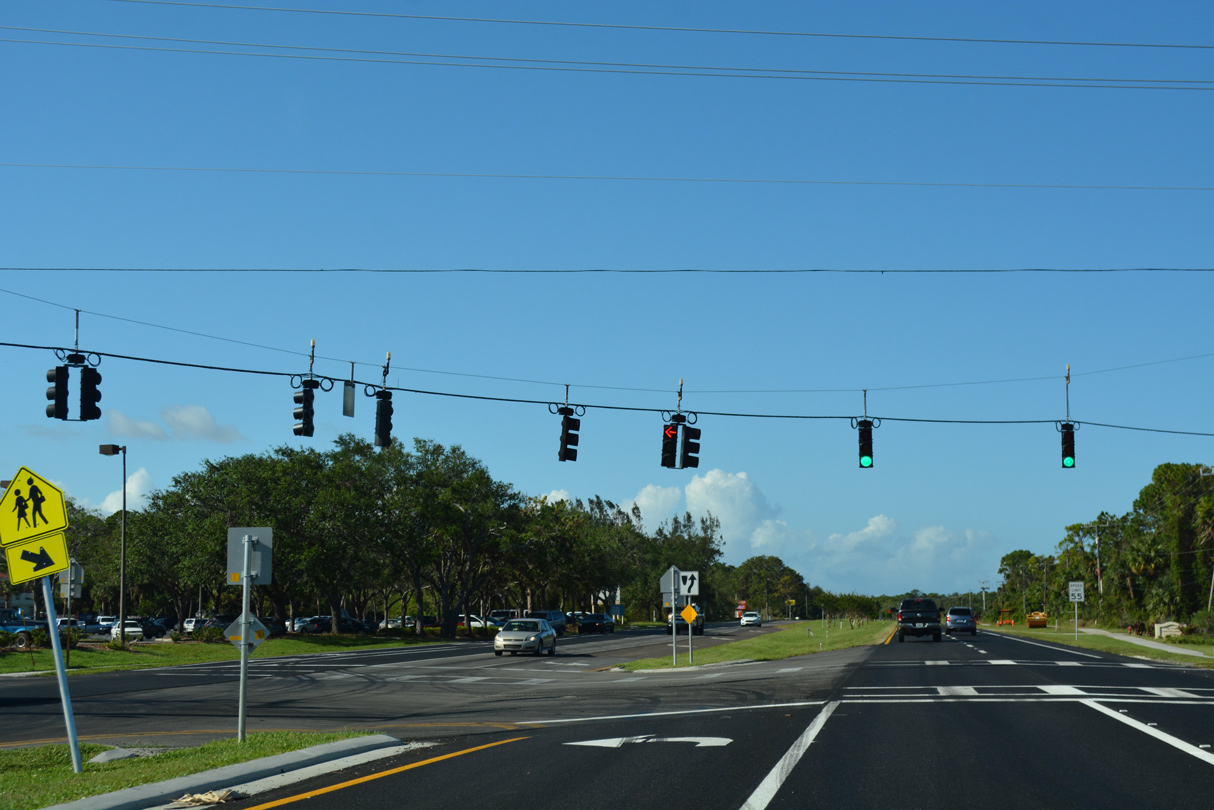
The succeeding traffic light on U.S. 1 north in Edgewater is at Falcon Avenue west and Riverside Drive north.
10/14/17
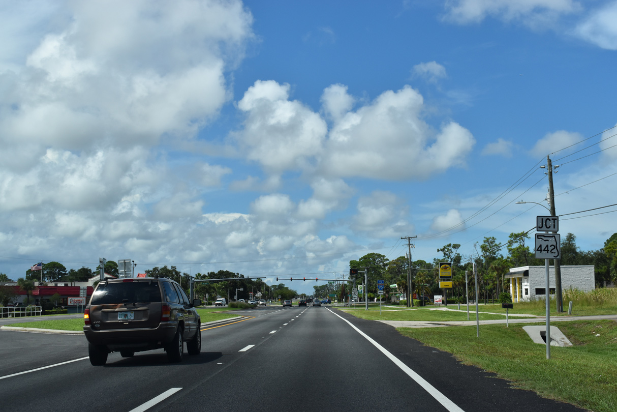
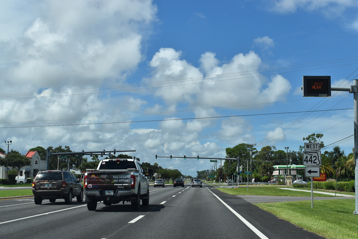
U.S. 1 north next meets the east end of SR 442 (Indian River Boulevard).
09/08/18
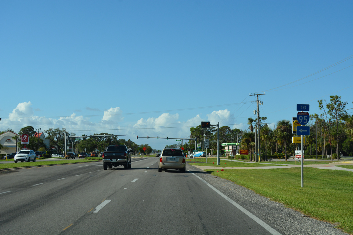
SR 442 connects with Interstate 95 at Exit 244.
10/14/17
Wholly within Edgewater, State Road 442 measures 3.78 miles in length between I-95 and U.S. 1.
09/08/18
09/08/18
10/14/17
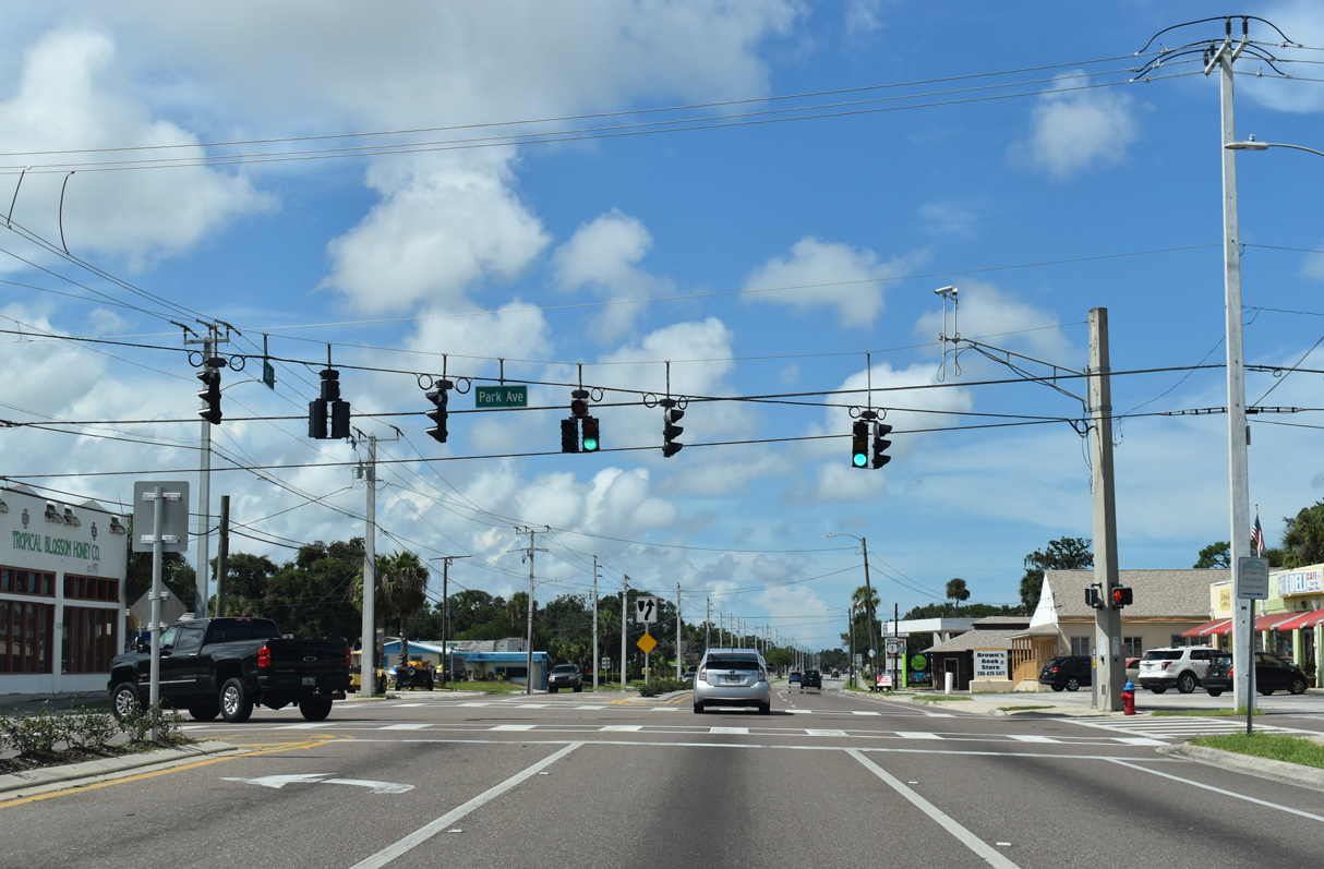
2.48 miles long, Park Avenue is unsigned CR 4136 east to Riverside Drive (CR 4135) at George R. Kennedy Memorial Park and west to Old Mission Road (CR 4137).
09/08/18
09/08/18
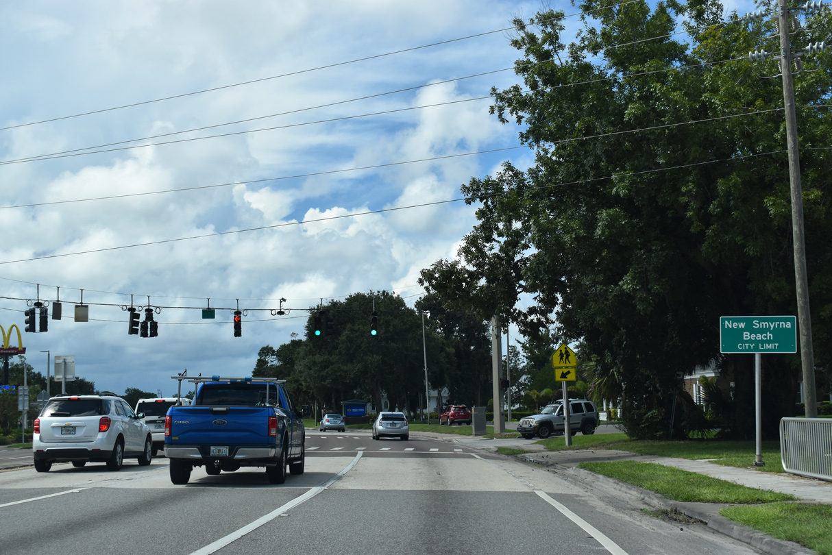
U.S. 1 (Dixie Freeway) enters New Smyrna Beach at 10th Street. 10th Street was realigned and expanded west from U.S. 1 to Myrtle Avenue by 2022.
09/08/18
09/08/18
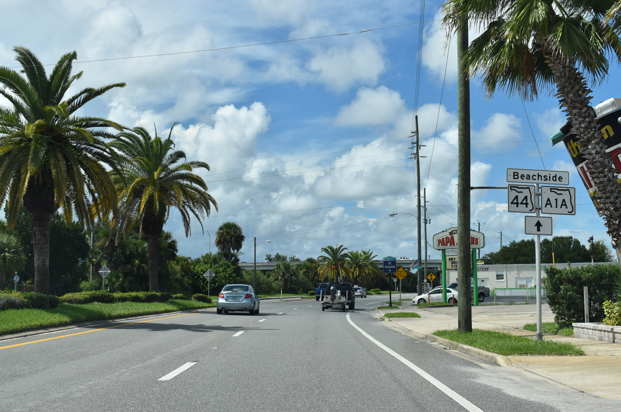
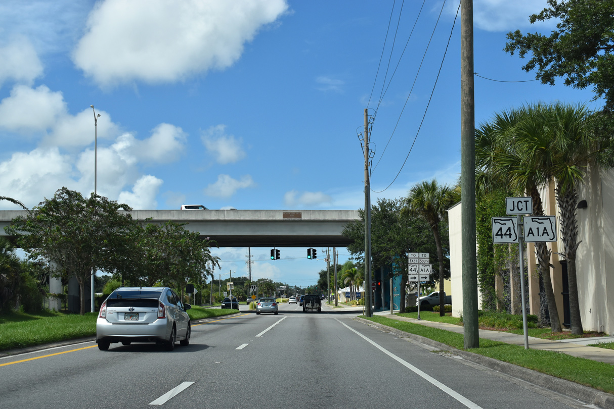
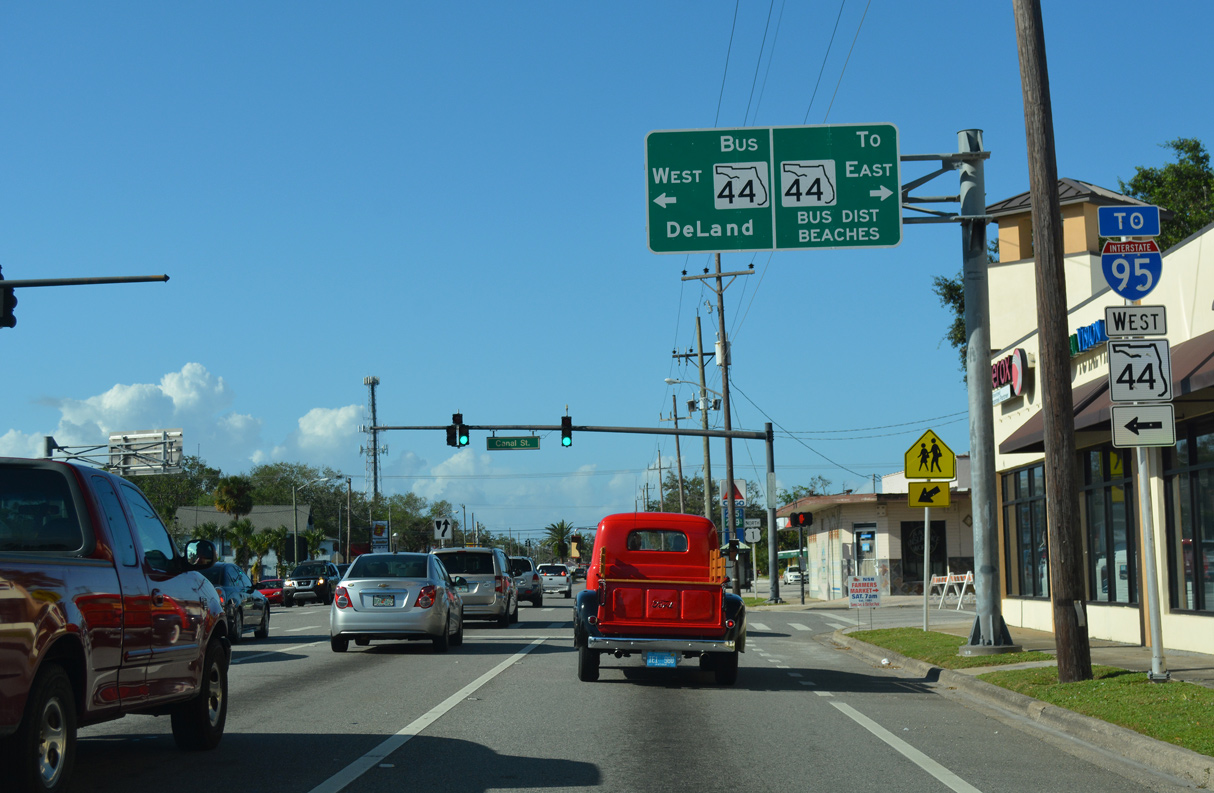
SR 44 (Lytle Avenue) spans U.S. 1 (Dixie Freeway) along a viaduct east to Live Oak Street and SR A1A. A service road links U.S. 1 with Lytle Avenue east two blocks north of Anderson Street.
09/08/18
SR 44 travels west from New Smyrna Beach to DeLand and Mount Dora. There is no direct access from U.S. 1 (Dixie Freeway) to Lytle Avenue west however.
09/08/18

SR 44 (Lytle Avenue) east becomes SR A1A (S Causeway) south at Live Oak Street. SR A1A spurs 2.08 miles east to CR A1A (Atlantic Avenue) at Coronado Beach.
09/08/18
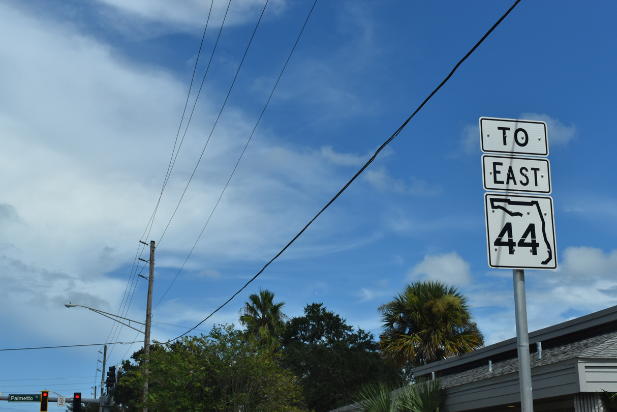
The service road connecting U.S. 1 (Dixie Freeway) with SR 44 east ties into Lytle Avenue at Palmetto Street. A separate branch of SR 44 lines N Causeway from Riverside Drive to Coronado Beach.
09/08/18
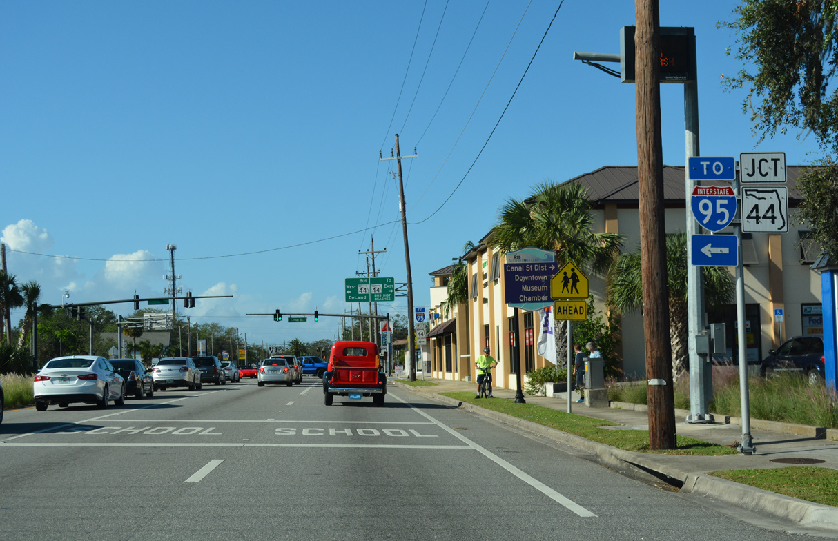
Connecting U.S. 1 (Dixie Freeway) north with SR 44 westbound, SR 44 Business lines Canal Street 1.02 miles west to SR 44 ahead of Wallace Road.
10/14/17
Reconstruction of the intersection joining U.S. 1 (Dixie Freeway) with SR 44 Business (Canal Street) west by 2021 added a second left turn lane and removed the overhead assembly.
10/14/17
10/14/17

10/14/17
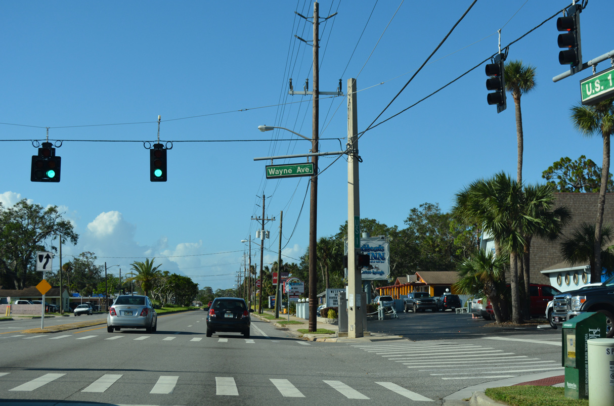
Wayne Avenue (CR 4089) extends west from Riverside Drive to New Smyrna Golf Club.
10/14/17
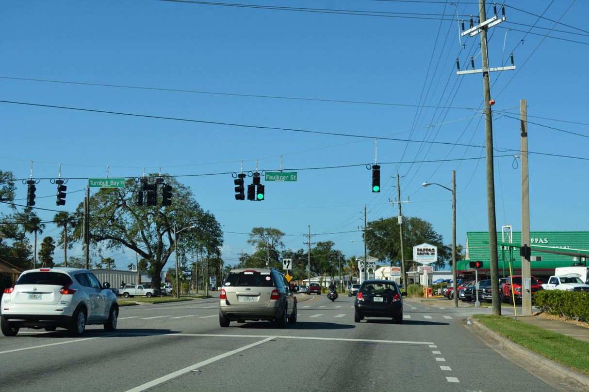
Turnbull Bay Road (unsigned CR 4093) forms a 5.08 mile long loop west from U.S. 1 at Faulkner Street to CR 4118 (Pioneer Trail).
10/14/17
U.S. 1 (Dixie Freeway) lines the east side of New Smyrna Beach Municipal Airport (EVB) north from Industrial Park Avenue.
10/14/17
10/14/17
U.S. 1 curves west at Doris Leeper Spruce Creek Preserve.
10/14/17
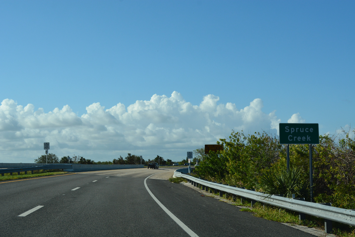
Crossing Spruce Creek, U.S. 1 north enters the town limits of Ponce Inlet.
10/14/17
10/14/17
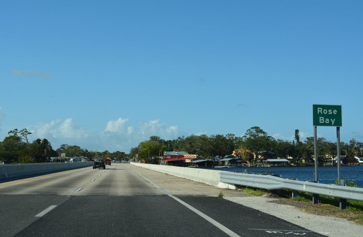
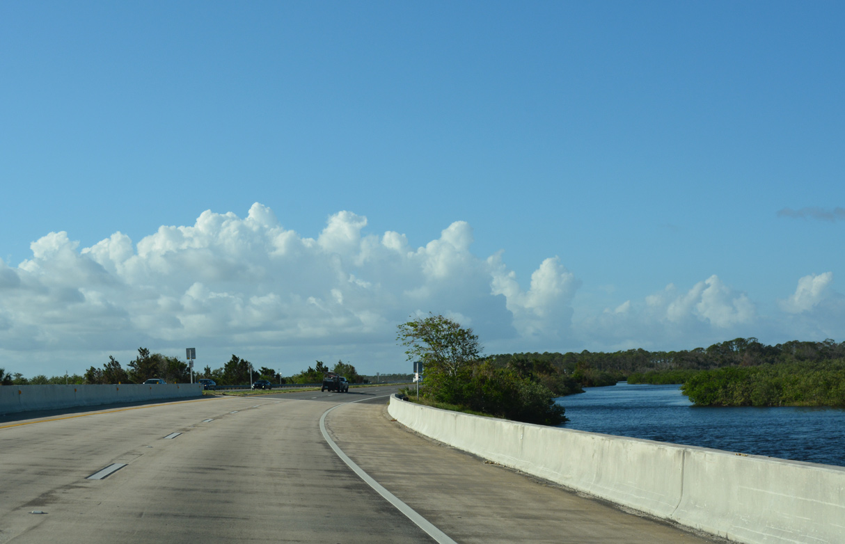
Spanning Rose Bay, U.S. 1 north leaves Spruce Creek Park for the city of Port Orange.
10/14/17
10/14/17

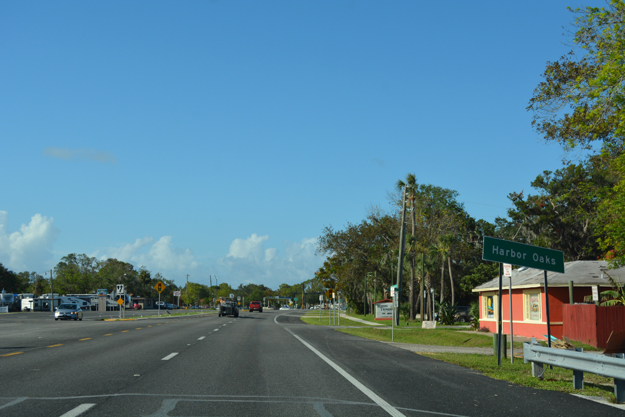
SR 5A (Nova Road) branches west from U.S. 1 at Harbor Oaks.
10/14/17

Following Nova Road, SR 5A is an arterial loop encircling South Daytona and Daytona Beach 15.62 miles north from U.S. 1 at Port Orange to U.S. 1 at Ormond Beach.
10/14/17

08/25/18
10/14/17
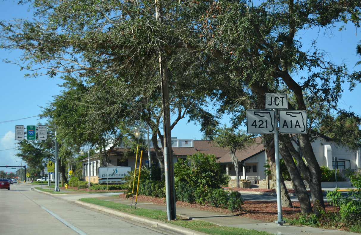
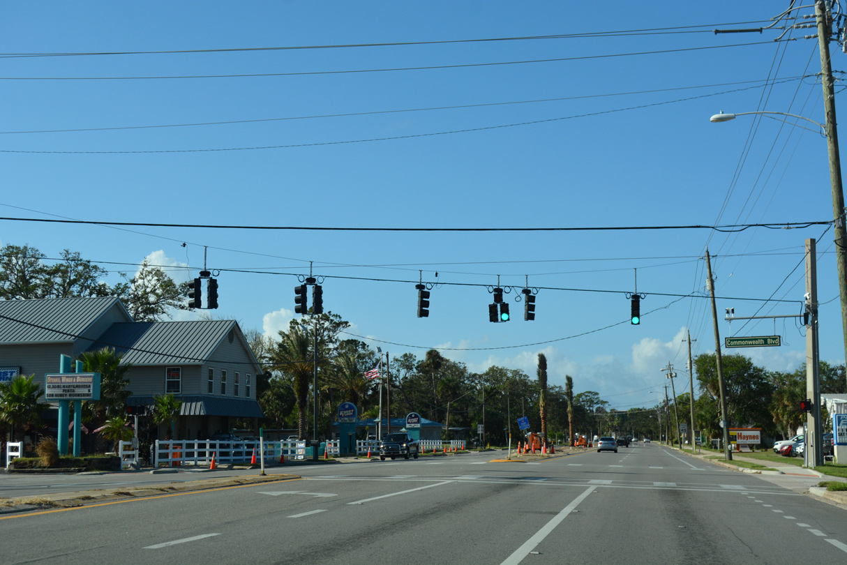
SR 421 east and SR A1A south come together at U.S. 1 (Ridgewood Avenue) along Dunlawton Avenue.
10/14/17
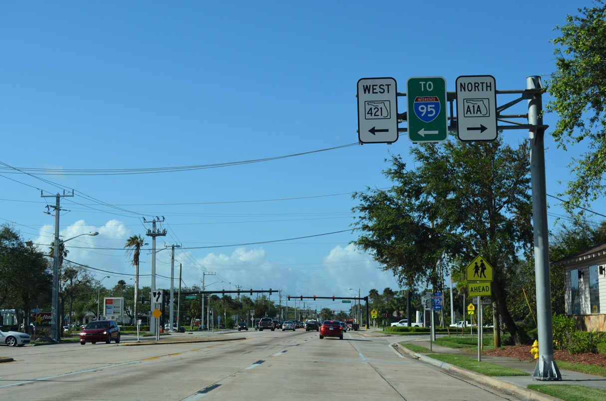
SR A1A crosses the Halifax River east in Port Orange to Atlantic Avenue north in Daytona Beach Shores. This branch of SR A1A extends north to St. Augustine on the First Coast.
10/14/17

Dunlawton Avenue continues southwest from SR A1A and U.S. 1 as SR 421 to Taylor Road at I-95 / Exit 256. SR 421 runs 4.00 miles overall southwest to CR 4009 (Williamson Boulevard) and CR 421.
10/14/17
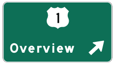
Photo Credits:
09/28/13, 10/14/17, 08/25/18, 09/08/18, 09/12/22 by AARoads
Connect with:
State Road A1A
State Road 5A - Nova Road
State Road 44
State Road 44 Business - New Smyrna Beach
State Road 46
State Road 442 - Indian River Boulevard
Page Updated 09-23-2022.