
Parham Road is an arterial belt route encircling the city of Richmond from the community of Tuckahoe north to Laurel and east to Chamberlayne. 12.07 miles in length, Parham Road extends north from SR 150 (Chippenham Parkway) and the Wiley Bridge spanning the James River. The east end is at U.S. 301/SR 2 (Chamberlayne Road) near Interstate 295 at Atlee.
The 0.78 mile long segment of Parham Road linking U.S. 1 (Brook Road) at Glen Allen with the cloverleaf interchange along Interstate 95 at Exit 83 is Virginia Route 73.
Parham Road - North

05/28/21

05/28/21

05/28/21

05/28/21

05/28/21

05/28/21

05/28/21

05/28/21

05/28/21

05/28/21

05/28/21
05/28/21

SR 73 overlays Parham Road west 0.78 miles from the cloverleaf interchange (Exit 83) with I-95 to U.S. 1 (Brook Road) at Glen Allen.
05/28/21

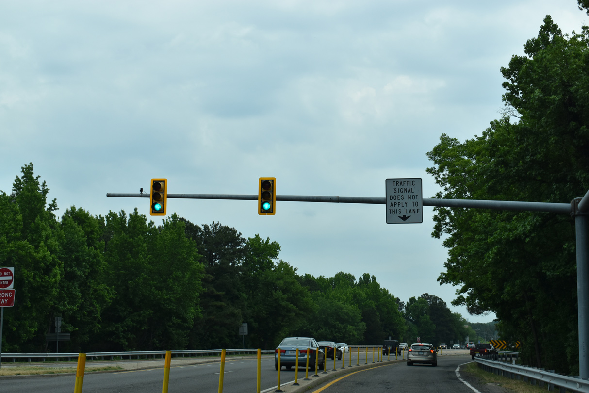
SR 73 (Parham Road) crosses over I-95 ahead of the loop ramp south to Richmond.
05/28/21

U.S. 1 (Brook Road) comprises a commercial boulevard north from Parham Road toward Ashland and south to Lakeside and Richmond.
01/04/19
Photo Credits:
01/04/19, 05/28/21 by AARoads
Connect with:
Interstate 64
Interstate 95
U.S. 1
U.S. 33
U.S. 250
U.S. 301
State Route 6
State Route 150 - Chippenham Parkway
Page Updated 08-12-2021.