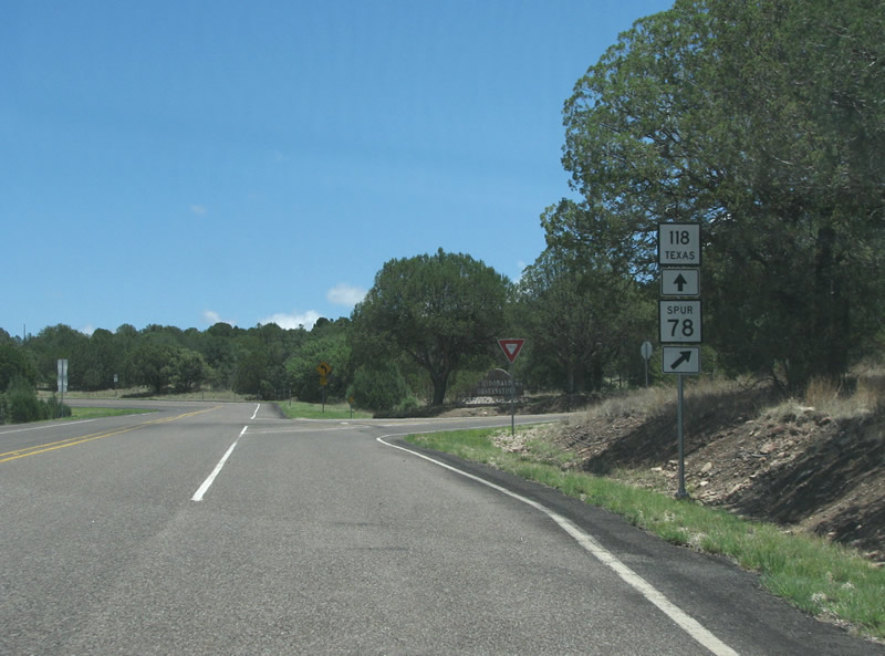
SH 118 is 156.81 miles long, traveling south from IH 10 and RM 2424 at Kent to the boundary of Big Bend National Park. Originally it ran all the way to the Mexican border at Terlingua and north to U.S. 80 in Kent.
|
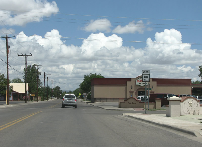
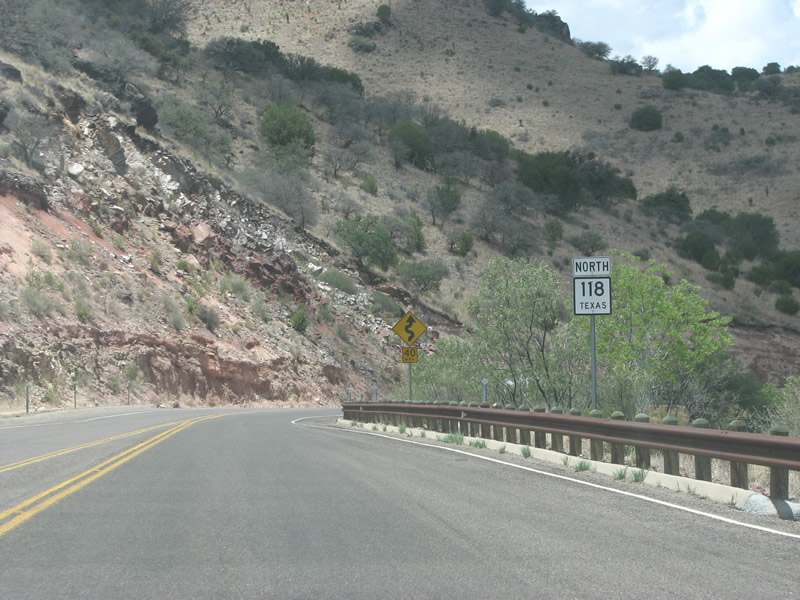
| SH 118 heads north from U.S. 90/67 along 5th Street in Alpine. SH 118 provides the quickest way from Alpine to access IH 10, the closest interstate. 07/04/08 |
|
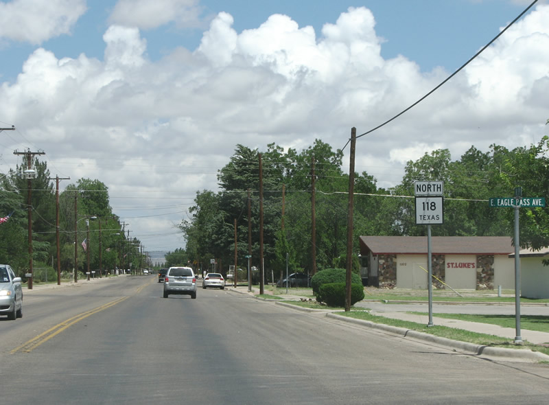
| SH 118 continues north in Alpine, passing Eagle Pass Avenue. Many of the east/west street names in town are named for Texas towns in the western and southern portions of the state. 07/04/08 |
|
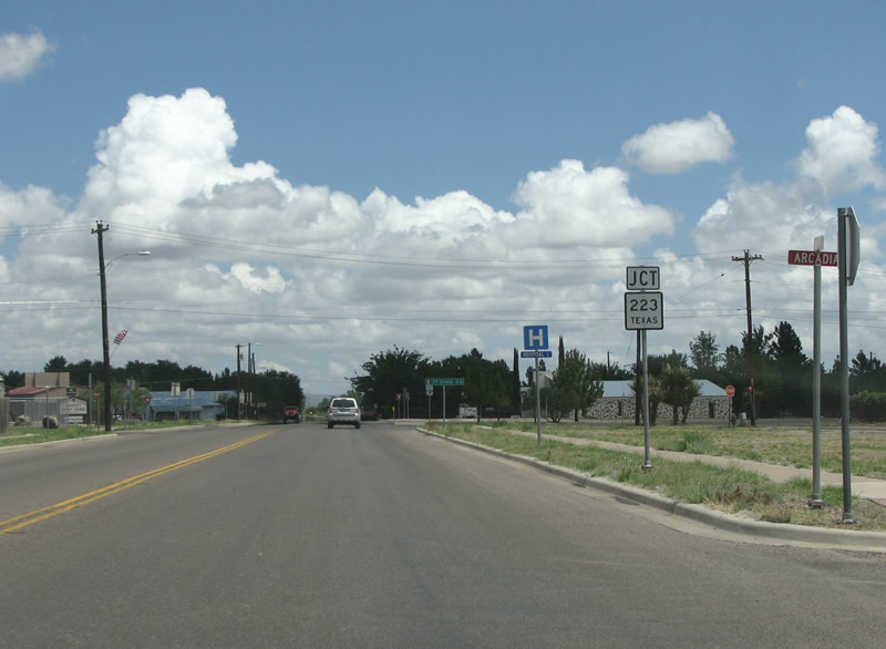
| SH 223 is the only other state highway in Alpine, and SH 118 meets it on the north side of town at Hendryx Avenue. 07/04/08 |
|
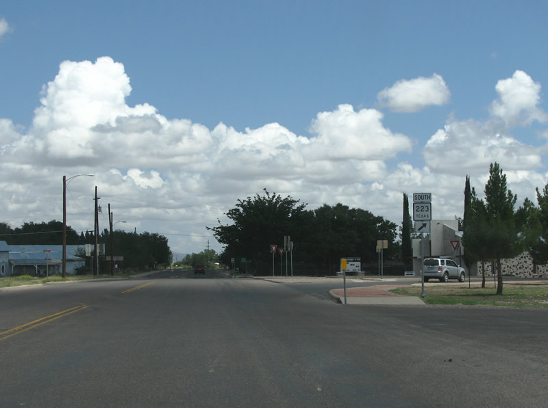
| Comprising a 1.64 mile bypass around the northeast side of Alpine, SH 223 is an odd state highway for Texas. It is unclear why SH 223 is not designated as a Loop, and its been around since near the beginning of the state highway system 07/04/08 |
|
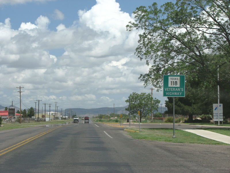
| SH 118 is known as the Veterans Highway while in Brewster County. The county is larger than southern New England, but has only a handful of numbered highways. 07/04/08 |
|
| SH 118 passes the US district courthouse and Alpine-Casparis Municipal Airport (ALE) on the north end of the city. With around 6,000 people, Alpine is the largest population center in the Big Bend region, making the airport fairly busy. Until Alaska's statehood in 1959, Alpine was the largest town in the largest county in the largest state in the nation as measured by area. 07/04/08 |
|
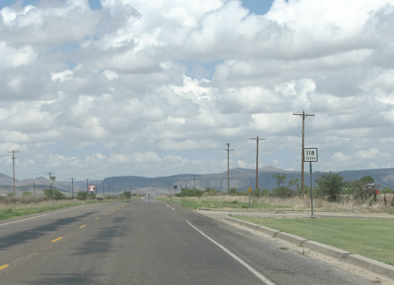
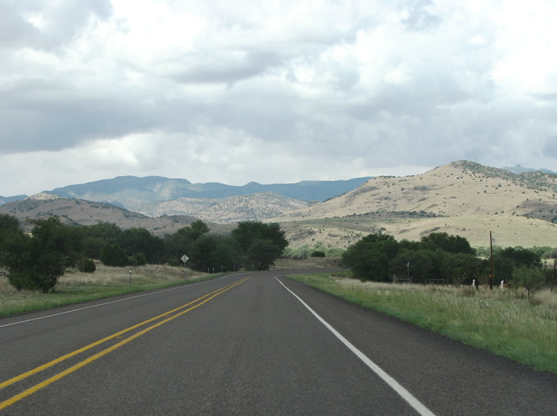
| SH 118 bee lines northward from Alpine toward Davis Mountains foothills. 07/04/08 |
|
| The first reassurance marker north of Alpine is located midway between the town and the hills. Directly ahead sits Henderson Mesa. 07/04/08 |
|
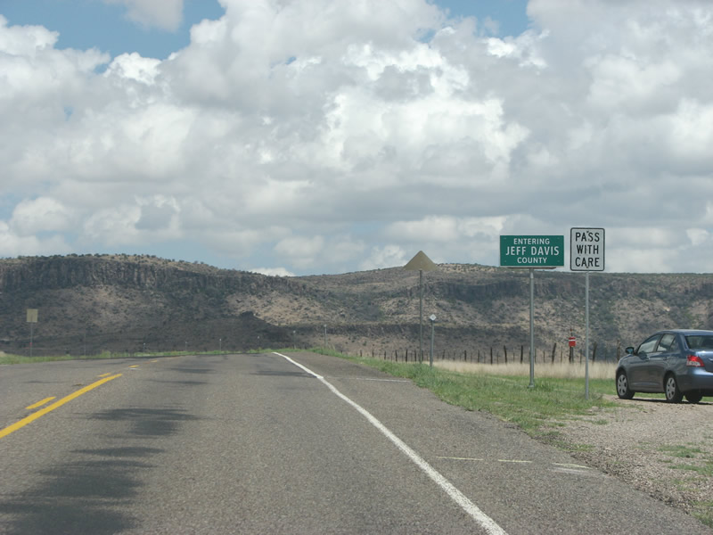
| SH 118 enters Jeff Davis County. The county was formed in 1887 and named for Confederate President Jefferson Davis. The county seat, Fort Davis, was founded earlier and was thus named for Jefferson Davis but when he was the nation's secretary of war. There are also Jefferson Davis Counties in Mississippi and Georgia. The official name of the county, Jeff Davis, was shortened as part of a compromise with Union sympathizers in Texas at the time. 07/04/08 |
|
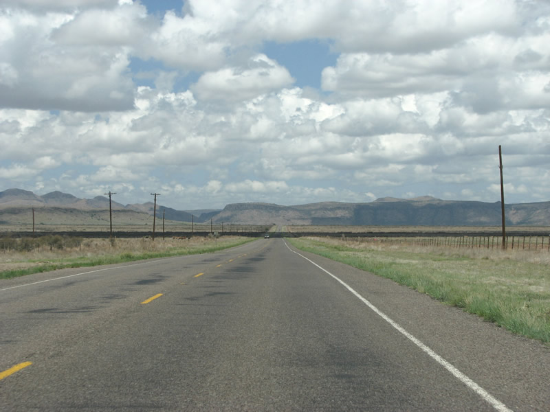
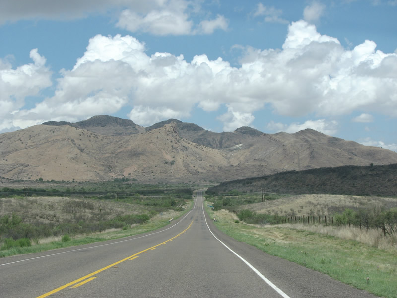
| SH 118 generally follows Musquiz Creek and Canyon between the ensuing range of mesas. 07/04/08 |
|
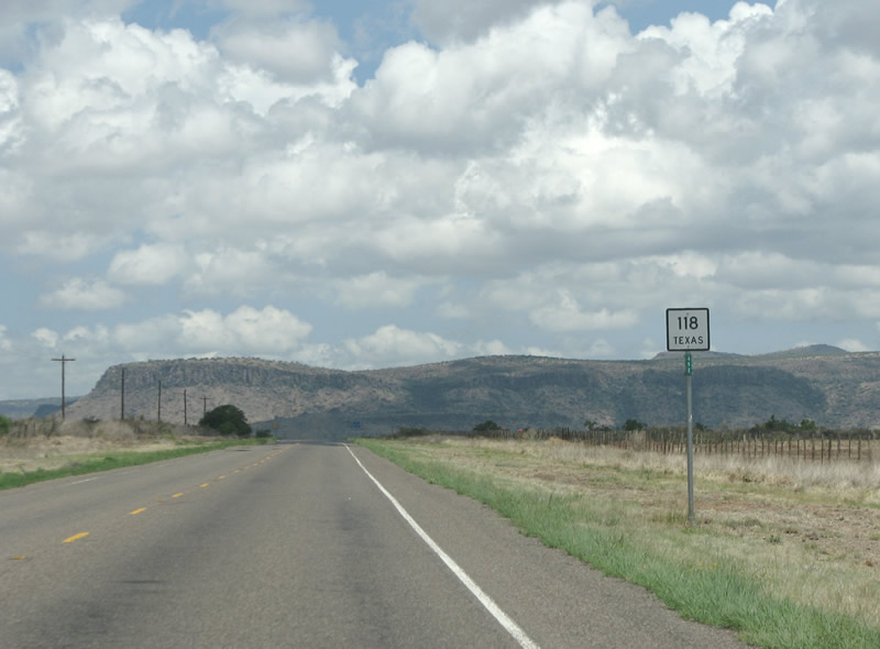
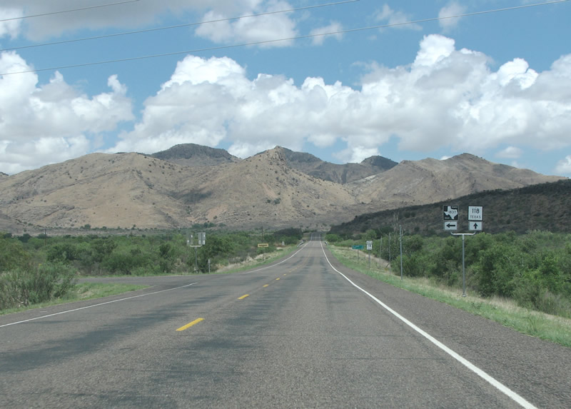
| RM 1837 is the first and only state highway encountered along SH 118 between Alpine and Fort Davis. 07/04/08 |
|
| Camp Mitre (pronounced MITER) is the only control point for RM 1837. The camp is a popular destination for girl scout troops. 07/04/08 |
|
| SH 118 northbound at RM 1837. The road runs west for 3.38 miles and dead ends at the camp. 07/04/08 |
|
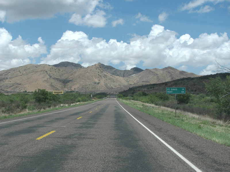
| As SH 118 climbs, this sign indicates a 14 mile distance to the county seat of Fort Davis. Kent, located 66 miles away along IH 10, is the terminus of the state highway. 07/04/08 |
|
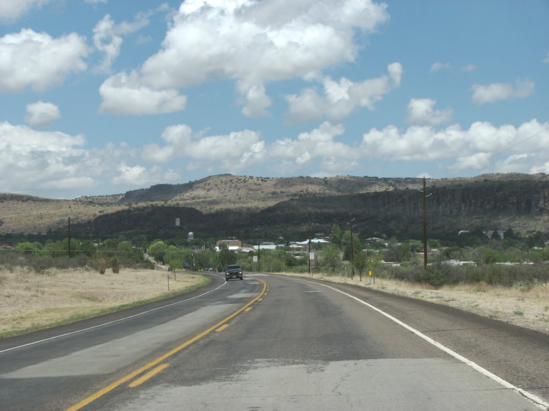
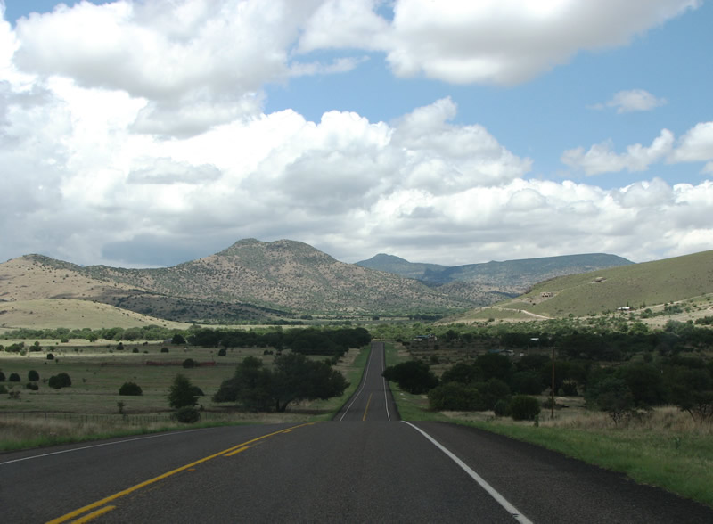
| After passing through the shadowy Musquiz Canyon, SH 118 emerges here on the Cienega Flat, with the Davis Mountains beyond. 07/04/08 |
|
| Fort Davis maintains a bucolic scene as it sits snug against the hills. The county courthouse and the town water tower are both fairly visible in this scene. 07/04/08 |
|
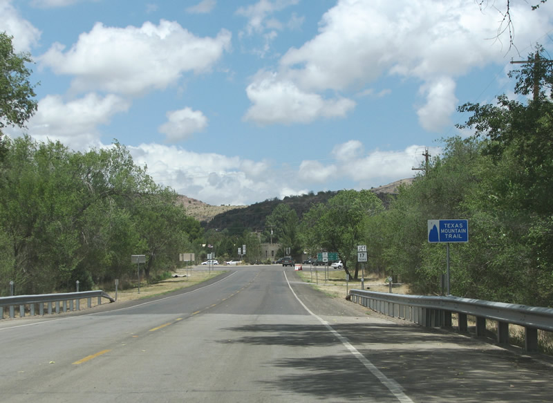
| The Texas Mountain Trail is one of the state's heritage routes. It follows a circuitous route through the western part of the state from Bend Bend towards the Guadalupe Mountains National Park to the north. 07/04/08 |
|
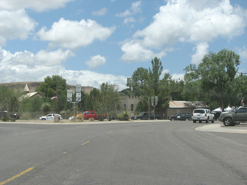
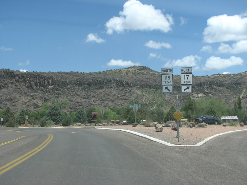
| Through Fort Davis, SH 118 combines with SH 17 along a 1.29 mile overlap. 07/04/08 |
|
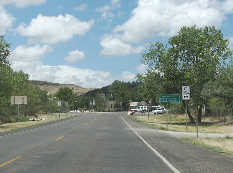
| Beginning on SH 17/118 here, the Davis Mountains Scenic Loop runs north and west of Fort Davis. The road reaches almost 7,000 feet, making it the highest state maintained highway in Texas. 07/04/08 |
|
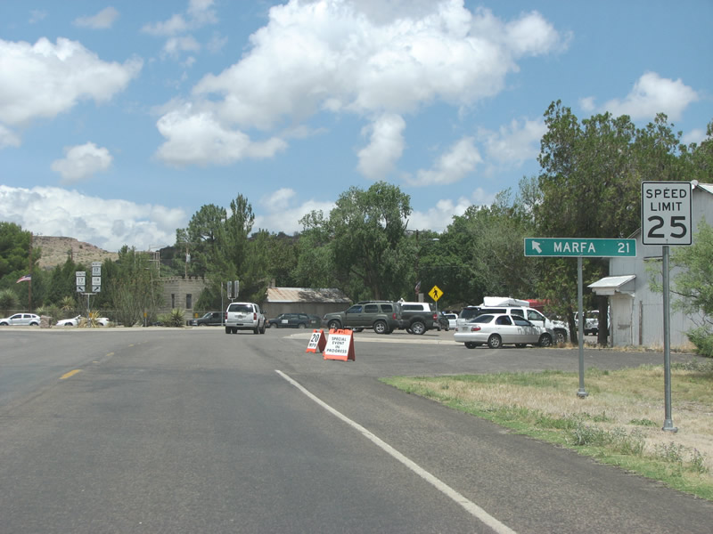
| Marfa, the county seat of Presidio County and the southern end of SH 17 at U.S. 90, is just 21 miles south of Fort Davis. 07/04/08 |
|
| Fort Davis is generally an old community with vintage buildings, some of which can be seen at the merge of SH 118 (Musquiz Drive) north with SH 17 (State Street). 07/04/08 |
|
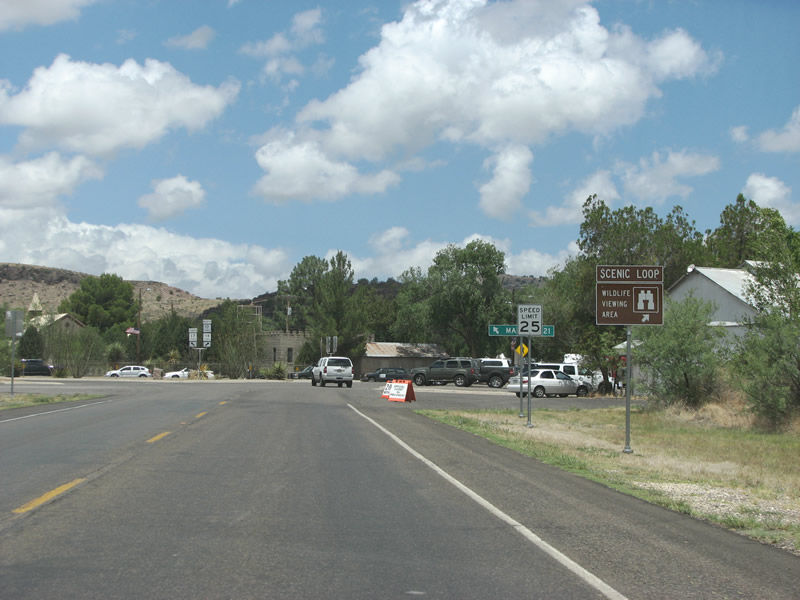
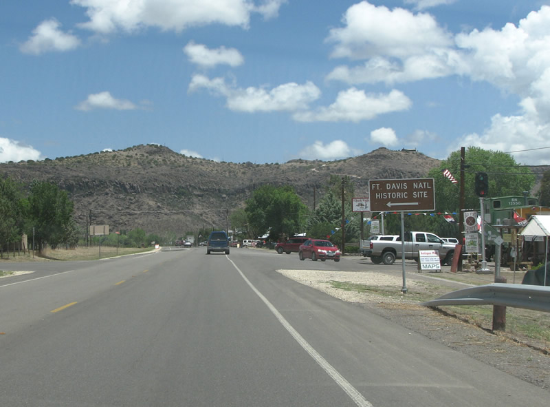
| SH 17 and SH 118 overlap for 1.7 miles through Fort Davis. The Fort Davis National Historic Site is along SH 17/118 within the unincorporated town. The fort is a very well preserved example of 19th century fortifications against Mexican incursions and Native Americans. 07/04/08 |
|
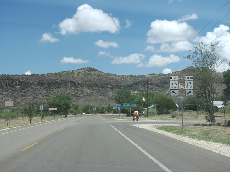
| Just north of Fort Davis, the state highways split. 07/04/08 |
|
| SH 118 and SH 17 both eventually make their way to IH 10, and the control points here are located along the freeway. There is no indication of IH 10 in Fort Davis however. 07/04/08 |
|
| With Scobee Mountain in the background, SH 17 and SH 118 split. 07/04/08 |
|
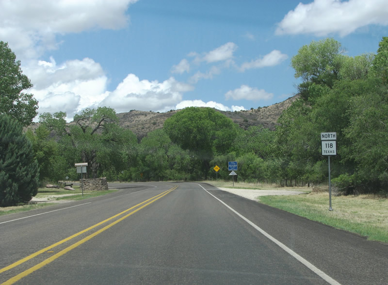
| A view of SH 118 as it heads north and west from SH 17 in Fort Davis. 07/04/08 |
|
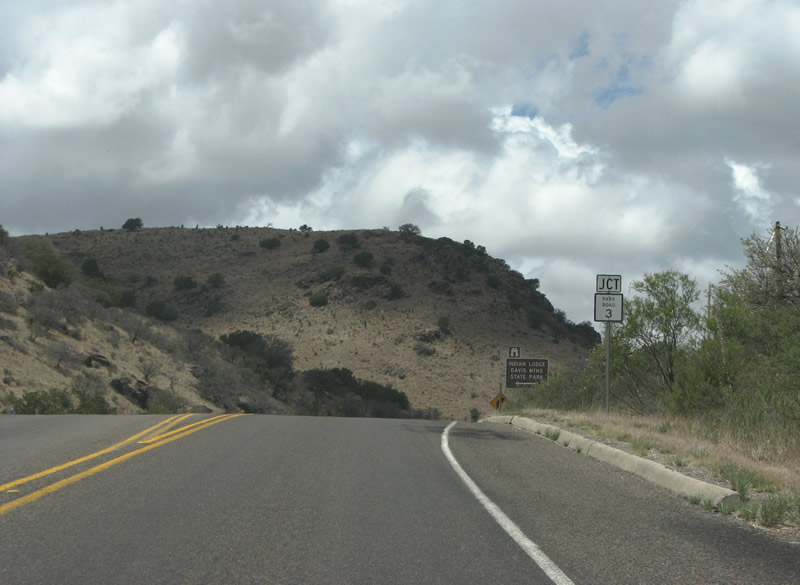
| Davis Mountains State Park is about halfway between Texas' two national parks. Park Road 3, a 1.15 mile spur, was established in 1933 along with the park. 07/04/08 |
|
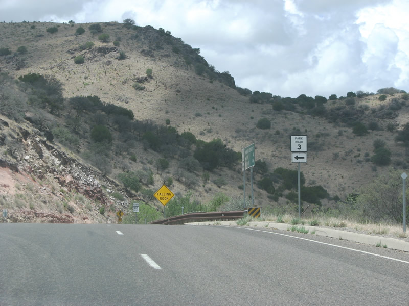
| SH 118 northbound at Park Road 3. Park Roads are one of the rarest of Texas myriad state highway designations. 07/04/08 |
|
| SH 118 northbound reassurance marker past Park Road 3. 07/04/08 |
|
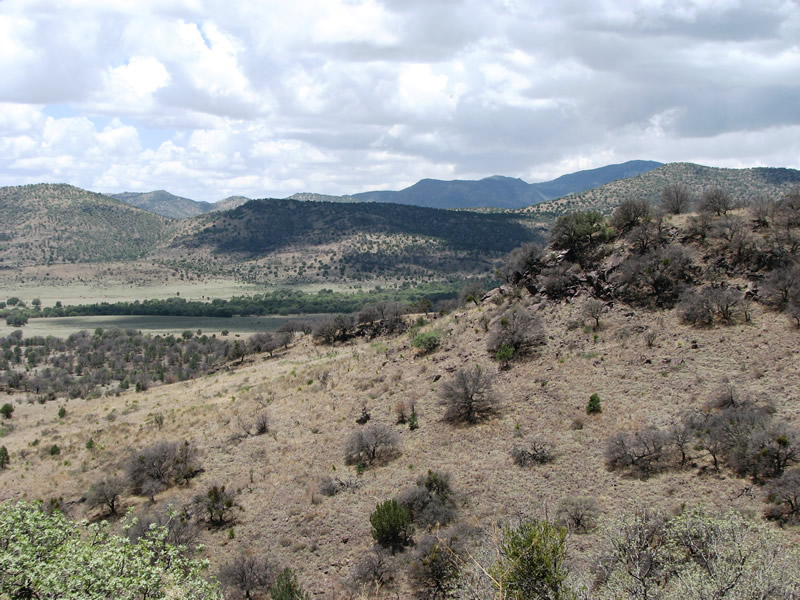
| This view looks at the Gavina Ridge towards the west. The state highway generally follows Limpia Creek through here and stays fairly level. 07/04/08 |
|
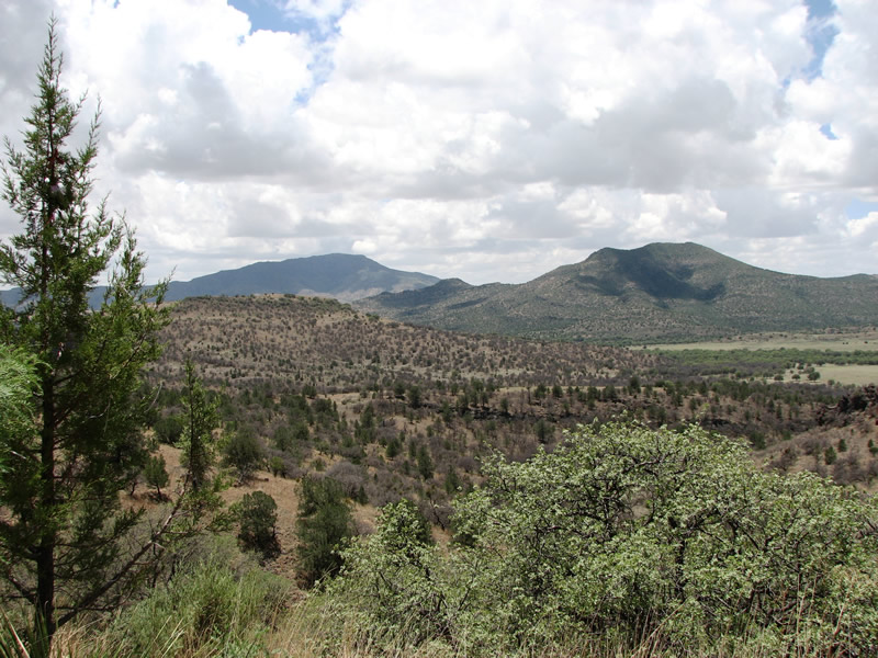
| SH 118 winds from Road Canyton through ranch land, with Brown Mountain and Pine Peak beyond in the Davis Mountains. 07/04/08 |
|
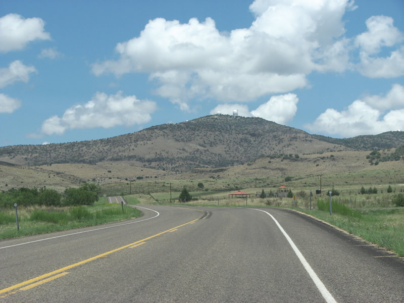
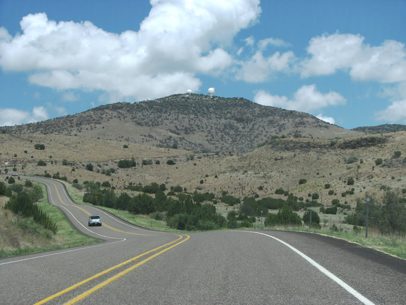
| Mount Locke and the McDonald Observatory sit prominently in this view looking north along SH 118. 07/04/08 |
|
| Looking southward from SH 118 at Mt. Locke in Jeff Davis County. 07/04/08 |
|
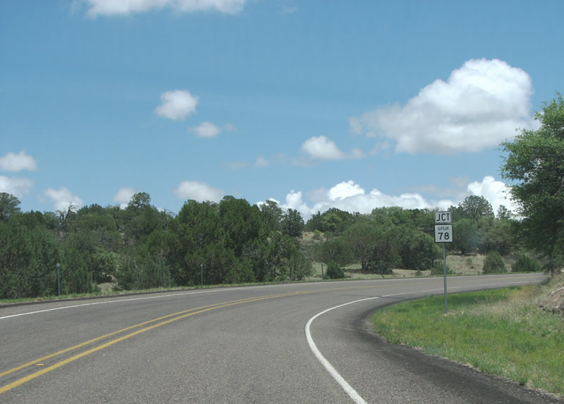
| Spur 78, a 1.51 mile highway with no reassurance markers along its route, runs to the top of Locke Mountain and McDonald Observatory. The observatory is popular with tourists. It features a large visitors center with an expensive gift shop. 07/04/08 |
|
| SH 118 northbound at SS 78. SS 77 branches off SS 78 nearby 0.438 miles to the Hobby-Eberly Telescope. 07/04/08 |
|
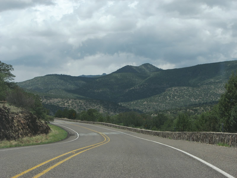
| Featuring some great views, SH 118 advances past Spur 78 with a rock barrier on the drop off side. SH 118 continues north from here into the Chihuahuan desert and to IH 10 at Kent. 07/04/08 |
Page Updated 07-30-2019.