
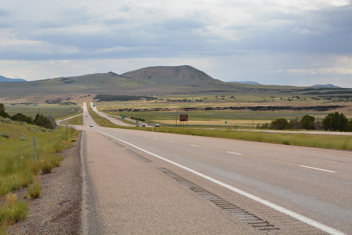
Interstate 70 at SR 161/old U.S. 91 near Cove Fort, Utah. 07/03/16
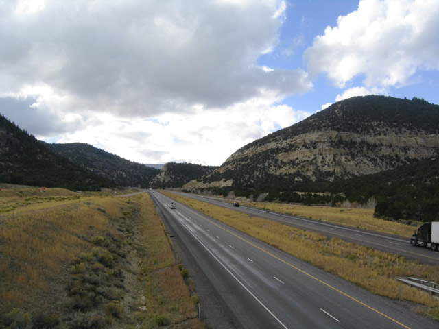
Interstate 70 and U.S. 50 travel westward through the Fishlake Mountains away from SR 76 at Exit 86. 10/18/04
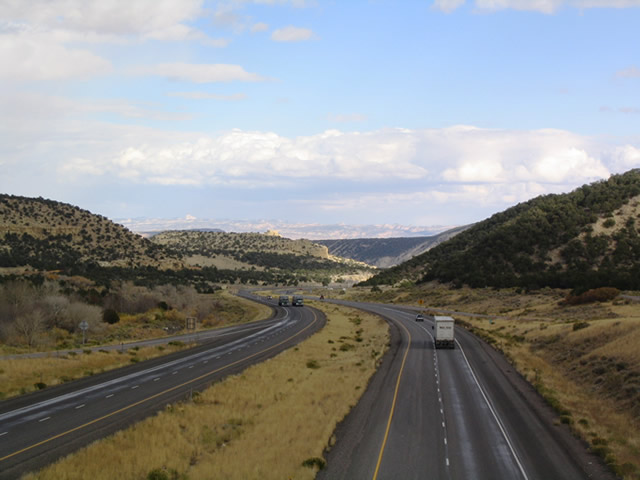
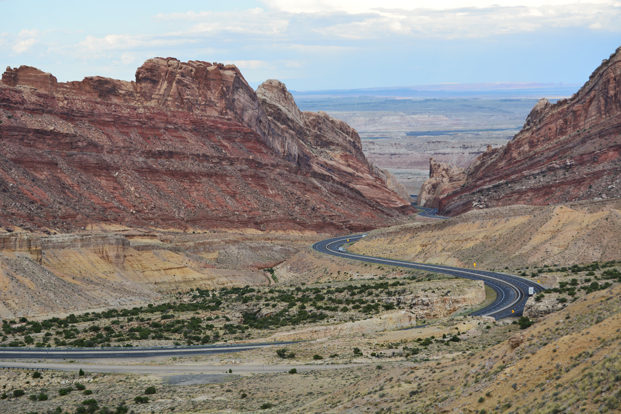
Interstate 70 and U.S. 50 head east from SR 76 toward Fremont Junction. The Coal Cliffs and Molen Reef Castle lie along the horizon. 10/18/04
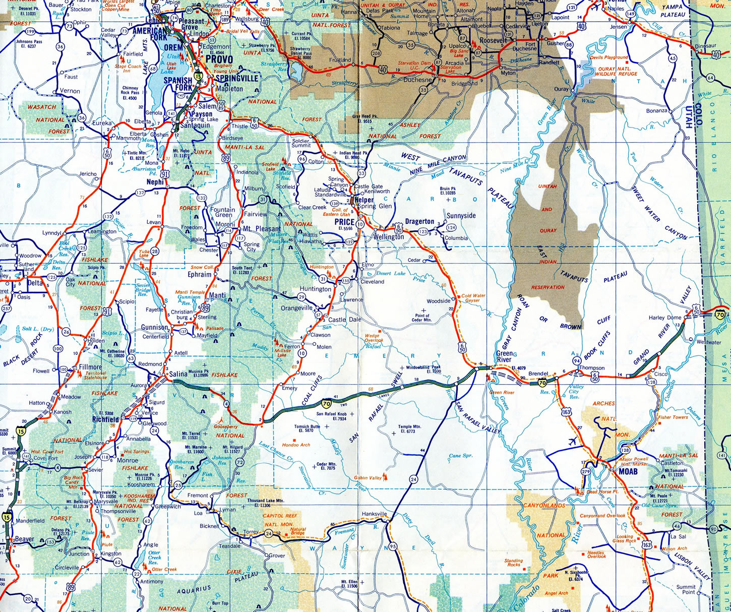
Interstate 70 originates in the foothills of central Utah near historic Cove Fort, then proceeds east over the Pahvant Range into Sevier Valley. Meeting U.S. 89, Interstate 70 travels northeast past Richfield and Salina, then curves east again, combining with U.S. 50. I-70/U.S. 50 continue through Fishlake National Forest and the San Rafael Reef en route to Green River.
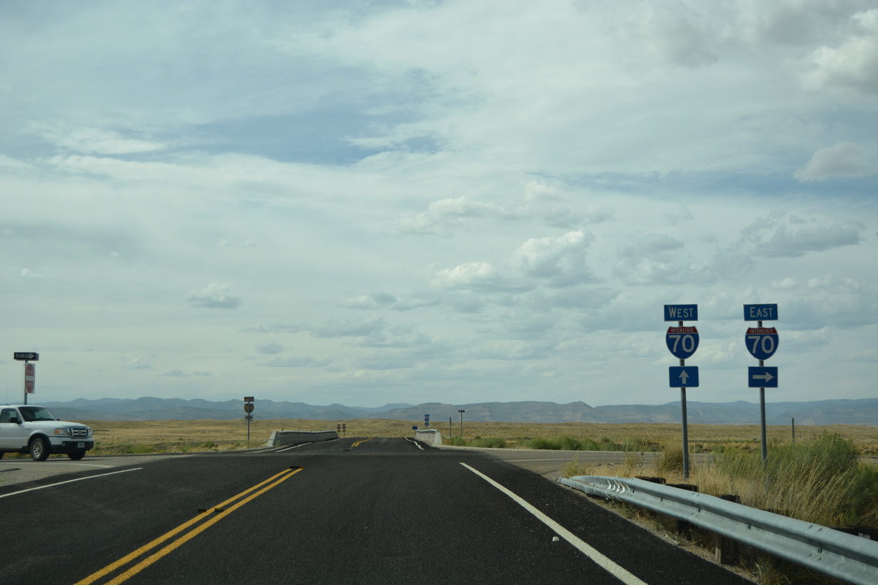
Interstate 70 replaced U.S. 6/50 throughout Grand County. U.S. 6 and U.S. 191 combine with I-70/U.S. 50 west of Green River. U.S. 191 splits south to Moab, while U.S. 6 remains along the freeway to Grand Junction, Colorado. I-70 shifts north of the Colorado River near Cisco and leaves the Beehive State through Grand Valley.
Interstate 70 Utah Guides
East
Business Routes
As originally envisioned, Interstate 70 was planned to head northwest to end at I-15 via the U.S. 6 and U.S. 50 corridors. Instead to better benefit traffic interests to and from southern California, I-70 was redirected to Cove Fort.
Viewing Interstate 70 from the Spotted Wolf Viewing Area at San Rafael Swell, Utah. 07/03/16
Interstate 70 was legislatively defined as Utah State Route 4 in 1962, pending completion of individual freeway segments. A remnants of this designation can be found along I-70 between I-15 and U.S. 89 over the Pavant Range, where old SR 4 parallels the freeway between Exit 7 and 17.
The first section of Interstate 70 built in Utah was the 12.2 mile long link east of Salina between Gooseberry Junction and Spring Canyon. Construction also underway in 1969 included 85.4 miles from San Rafael Swell east to Green River, and toward the Colorado state line.1 Federal funding issues through the 1970s stalled work, resulting in a $78 million shortfall to complete the route.2
The segmented route of Interstate 70 in 1972. Contrary to today where U.S. 50 overlaps with I-70 west to Salina, U.S. 50 ran northwest to Spanish Fork alongside U.S. 6/89.
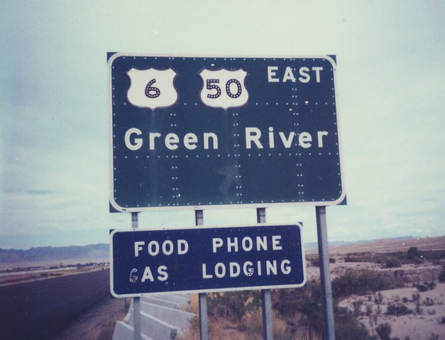
Former button copy sign posted along I-70 eastbound at Exit 158 for U.S. 6-50 east into Green River. U.S. 191 was omitted, since the route had not been extended this far south until 1982. U.S. 163 was the designation for U.S. 191 south of I-70 until 1982, and U.S. 163 extended south from I-70 through Moab to Monument Valley and Arizona. North of Interstate 70, U.S. 191 was a series of state routes and U.S. 187 in Wyoming. Photo by Michael Summa, 1979
Bids for the last major portion of Interstate 70 to be built in Utah took place on September 23, 1986. Construction on the $11.8 million nine mile section between north Richfield (Exit 40) and Sigurd (Exit 48) coincided with work to build the $1.2 million north Richfield access road. This bid preceded a separate bid on the three mile segment of I-70 between the south access road and Exit 40. Ongoing work at the time included three other sections through Sevier Valley and a section in Clear Creek Canyon. U.S. 89 through Sevier County was designated as Temporary I-70 prior to the freeway opening.3
The remaining Super Two segments of Interstate 70 were expanded to four lanes through the 1980s. Completion of the route occurred on September 28, 1990, when the second Eagle Canyon bridge was dedicated. The original Eagle Canyon Bridge opened to traffic in 1965. It now carries eastbound traffic. Supported by a 428 foot arch, the westbound bridge spans 518 feet at a height of 205 feet. The new bridge capped off $183.5 million in construction that started with planning in 1959 for I-70 across San Rafael Swell.2
 scenes scenes |
 | Snowfall is common along Interstate 70 and U.S. 50 in the Fishlake Mountains, even in the Spring. This scene looks at SR 10 leading north from the freeway at Exit 91. 04/29/11 |
 | Interstate 70 trailblazer directing motorists from the nearby Eagle Canyon View Area back to the freeway at Exit 116. Moore Cutoff (CR 803) continues northwest 18 miles to Moore. 10/18/04 |
 | Harley Dome Road north at Interstate 70 (Exit 221) near Sulphur in the Grand Valley. 08/10/16 |
- "105 Miles Planned For Utah's Interstate." The Deseret News (Salt Lake City, UT), January 11, 1969.
- "I-70 project reaches end of road at last." The Deseret News (Salt Lake City, UT), September 28, 1990.
- "UDOT will open bids for work on part of I-70." The Deseret News (Salt Lake City, UT), September 21, 1986.
Photo Credits:
- 10/18/04 by AARoads.
- 04/29/11 by Karl Forth.
- 08/10/16 by AARoads.
Connect with:
Interstate 15
U.S. 6
U.S. 50
U.S. 89
U.S. 191
Page Updated 02-23-2022.